British Land Unveils Plans To Transform London’s Euston Tower Into A Life Sciences And Innovation Hub
The title of this post, is the same as that of this press release from British Land.
The Wikipedia entry for the Euston Tower gives this paragraph of history.
The site was developed by Joe Levy who bought properties along the north side of Euston Road to enable him to build a complex of two tower blocks with office shops and apartments. The building, which was designed by Sidney Kaye Eric Firmin & Partners in the International style and built by George Wimpey, was completed in 1970. It is 36-storeys and 124 metres (407 ft) high. Early tenants included Inmarsat and Capital Radio.
When you get to over fifty years old, various parts of your body get tired and I suspect it is the same with buildings.
These are the two bullet points of the press release.
- Euston Tower represents a major retrofit and redevelopment opportunity at the heart of London’s Knowledge Quarter
- Proposals aim to transform the building into a world-class net zero home for world-leading life science and innovation occupiers
These two paragraphs then add a bit more vision.
Leading property company British Land has unveiled plans to redevelop Euston Tower through an innovative combination of retention, re-use and an ultra-low carbon new structure. The plans would transform the building into a pioneering, modern, net zero workspace for cutting-edge businesses of all sizes, including new world-class, lab-enabled spaces at the heart of London’s Knowledge Quarter.
Currently under discussion with Camden Council and other local stakeholders, the vision for Euston Tower will lead the way in low carbon retrofit and construction techniques, using inclusive design which creates high quality workspaces and continues to support the local community and economy. The current proposals will bring forward lab-enabled spaces for start-up and scale-up innovation businesses, as well as spaces for the local community to support education and training opportunities.
These are points from the press release.
- Leading the design are award-winning Danish architecture practice 3XN.
- They are supported by London-based architecture and landscape studio DSDHA who re-designed much of Broadgate’s public realm, including Exchange Square.
- In line with British Land’s longstanding commitment to net zero development, the design’s sustainability strategy is based on retaining, re-using and re-cycling existing material, specifying low carbon and recycled materials where new is required and only using certified carbon offsets as an action of last resort.
- This multi-layered approach to net zero development aims to create a blueprint for the sustainable redevelopment of challenging, inflexible old buildings that can be used in the future.
British Land has owned and operated Regent’s Place for nearly 40 years, which means they must have a lot of knowledge about how best to develop the building and its surroundings.
They certainly seem to be applying a modern net-zero approach to a building that was iconic and modern in the 1970s.
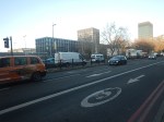
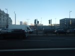
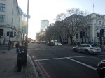
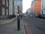
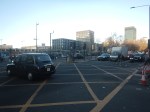
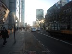
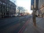
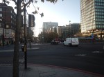
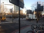
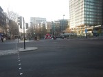
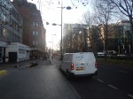
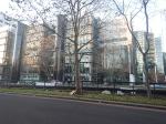
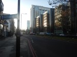
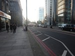
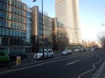
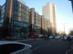
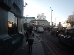
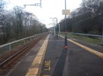
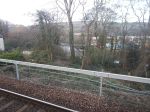
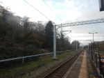
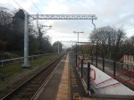
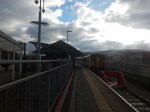
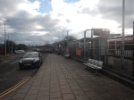
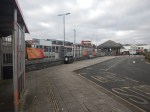
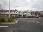
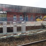
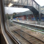
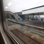
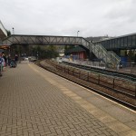
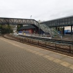
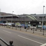
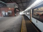
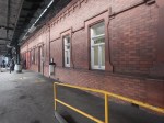
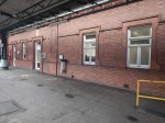
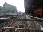
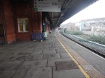
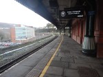
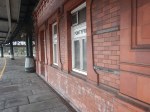
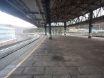
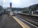
This afternoon I walked down the Euston Road between Euston and Great Portland Street stations and took these pictures.


Note.
- Euston Station is a shadow of its former self.
- Euston Tower is the boxy tower on the North side of Euston Road.
- University College London Hospital (UCLH) is the tower on the South side of Euston Road.
- I believe the glass-fronted building opposite the hospital and Euston Tower contains a lot of BT infrastructure.
I have some thoughts.
Traffic Along The Euston Road
I took the pictures around 1400 in a Friday and they show how busy the Euston Road is most of the time.
According to the Wikipedia entry for the Euston Road, there was a plan to remove the underpass.
In the early-21st century, the Greater London Authority commissioned a plan to improve the road from the architectural firm, Terry Farrell and Partners. The original study proposed removing the underpass (which was subsequently cancelled) and providing a pedestrian crossing and removing the gyratory system connecting the Tottenham Court Road and Gower Street. The scheme was approved by the Mayor of London, Ken Livingstone as “the start of changing the Marylebone to Euston road from a highway into a series of linked public spaces.” The pedestrian crossing opened in March 2010. Livingstone’s successor, Boris Johnson, favours keeping the Euston Road underpass and declared it to be a good place to test his nerves when cycling around London.
Nothing is said about, where the traffic would have gone, if the underpass had been closed.
I walked along the South side of the Euston Road past the hospital and the air couldn’t be considered clean. As I write this, this website rates it Hazardous.
If we ignore the pollution for pedestrians and cyclists, is it really a road, that is fit for the purpose of moving traffic between King’s Cross and Baker Street, and vice-versa? I don’t think so!
The UK Needs More Lab Space
Cambridge innovators and developers were always saying they needed more lab space.
I also suspect, they are moaning in Oxford too!
So building high-quality space in London could reduce the pressure.
In Canary Wharf Boosts Its Science Ambitions, I talked about the ambitions of Canary Wharf to be a life sciences hub.
The Euston Tower Is Well-Connected
Consider.
- The Euston Tower is within walking distance of Euston, King’s Cross and St. Pancras stations, with all their long distance connections.
- The Euston Tower is within walking distance of Euston Square, Great Portland Street, King’s Cross St. Pancras and Warren Square stations, with all their Underground connections.
- There are buses everywhere.
But that’s not to say, that these links cannot be improved.
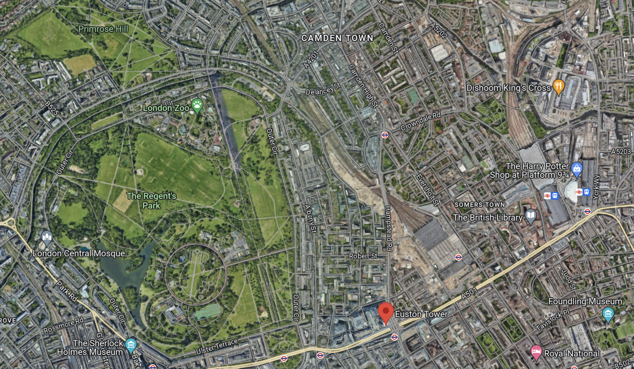
Euston High Speed Two Station Could Be Euston Tower’s Sister?
This Google Map shows the location of Euston Town and the proposed Euston High Speed Two station.

Note.
- Euston Tower is marked by a red arrow in the South-West corner of the map.
- The existing Euston station is in the North-East corner of the map.
- The High Speed Two station will be built along the Western side of the existing station.
With good landscaping, an excellent walking route, and perhaps a people mover Euston Tower could have superb connections to the rest of the UK.
Cycling And Walking Could Be A Possibility!
This Google Map shows the wider area around Euston Tower.
Note.
- Euston Tower is marked by the red arrow towards the bottom of the map.
- To its West lies the cycling- and walking-friendly spaces of Regents Park and Primrose Hill.
In the 1970s, I regularly walked or cycled across the park from where we lived near Primrose Hill to a client in Great Portland Street.
I also suspect other cycling and walking routes could be developed to Euston Tower from Euston, King’s Cross, St. Pancras and other stations.
Crossrail 2
Crossrail 2 would certainly help travelling to the Euston Tower, by linking Euston, King’s Cross and St.Pancras to North-East and South-West suburbs of London, with trains at frequencies of up to 30 thirty trains per hour (tph) in the central tunnel.
But.
- The new line will cost at least £31.2 billion. Who can afford it?
- The Elizabeth Line took sixteen years from approval to full opening.
- Crossrail 2 would still be a walk from Euston Tower.
So Crossrail 2 is unlikely to be any help to the redevelopment of Euston Tower.
Improving The Sub-Surface Lines
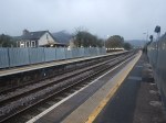
The Euston Tower is close to two stations on the sub-surface lines; Euston Square and Great Portland Street.
Services through these stations are currently as follows.
- Circle Line – 6 tph – In both directions all day.
- Hammersmith & City Line – 6 tph – In both directions all day.
- Aldgate and Amersham- 2 tph – In both directions all day.
- Aldgate and Chesham – 2 tph – In both directions all day.
- Aldgate and Uxbridge – 6 tph Peak – 8 tph – Off-Peak
- Aldgate and Watford – 4 tph – Peak
Note.
- In the Peak there are 26 tph through Great Portland Street and Euston Square stations.
- In the Off Peak there are 24 tph through Great Portland Street and Euston Square stations.
- In this article on Modern Railways,it is said that after digital signalling is installed on the sub-surface lines, the capacity on the lines, will be 32 tph in the Peak and 27 tph in the Off-Peak.
These figures give a 33 % capacity increase in the Peak and a 28 % increase in the Off Peak.
Both Great Portland Street and Euston Square stations are cramped and not fully step-free stations and could struggle with a 28 % and upwards increase in passenger numbers.
In The New Step-Free Entrance At Euston Square Station, I detailed TfL’s plans to put a new full step-free entrance South of Euston Road at Euston Square station.
This would not directly help travellers going between Euston Tower and Euston station, but hopefully, it would help to make Euston station less crowded and more passenger-friendly.
It would certainly ease walking between University College and the hospital, and the station.
This map from cartometro shows the Underground lines at Great Portland Street station.
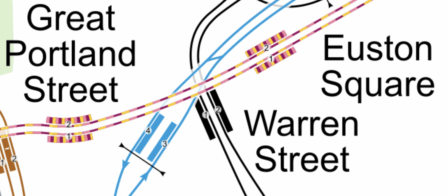
Note.
- The yellow and mauve tracks are the sub-surface lines.
- The black tracks are the Northern Line.
- The blue tracks are the Victoria Line.
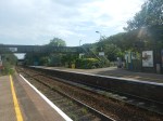
This Google Map shows the Euston Tower, Great Portland Street and Warren Street stations.
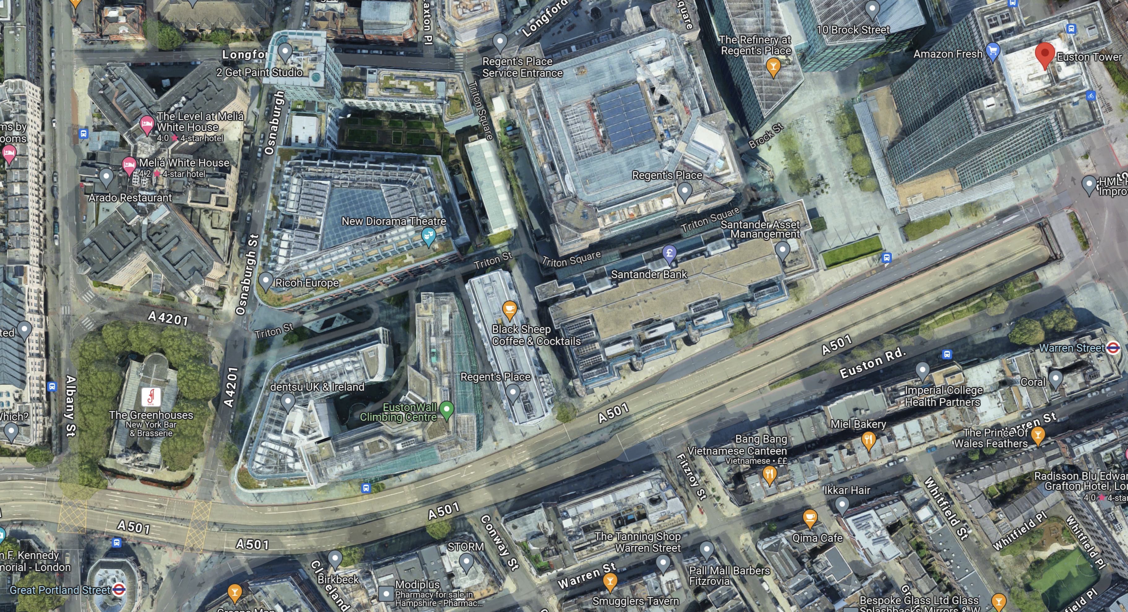
Note.
- The Euston Tower is indicated by a red arrow in the top-right corner of the map.
- Great Portland Street station is in the bottom-left corner of the map.
- Warren Street station is at the left of the map.
I wonder if the platforms were to be extended Eastwards at Great Portland Street station, that a new entrance to the station could be created perhaps fifty metres from Euston Tower.
I am convinced that the extra passenger traffic created by the life sciences and innovation hub can be handled by an augmented transport infrastructure, which would rely mainly on planned improvements to the sub-surface lines, which are approaching their final stages.
Conclusion
Converting Euston Tower into a life sciences and innovation hub is a plan that I believe can work well!
I would recommend the following improvements to public transport.
- The planned extra step-free entrance to Euston Square station on Gordon Street is constructed.
- An extra fully step-free entrance is built at the Eastern ends of the platforms at Great Portland Street station, which would be about halfway between Euston Tower and the station.
As improvements to the signalling of the sub-surface lines will deliver an upwards of 27 % capacity on the sub-surface lines, the life sciences and innovation hub might as well take advantage.
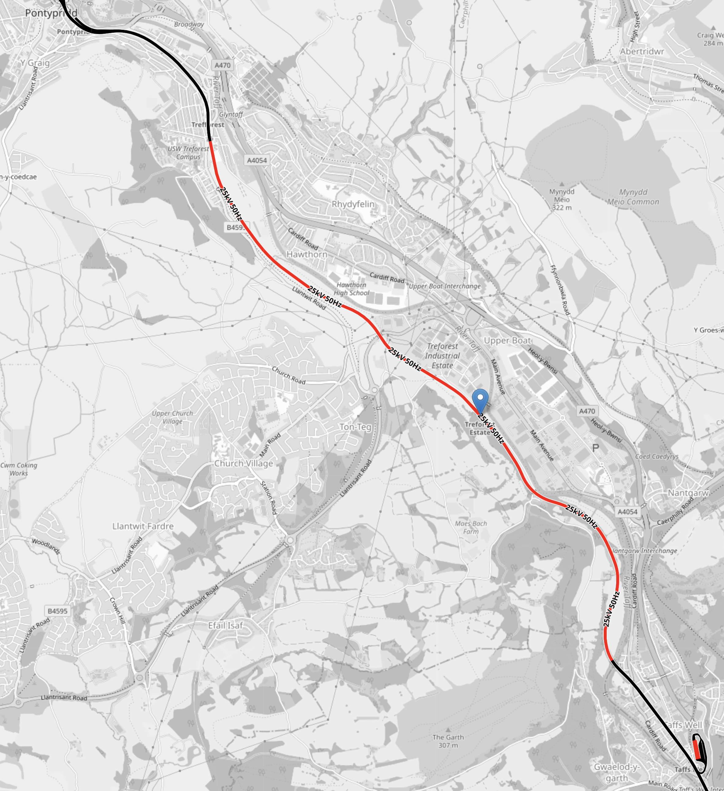
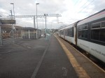
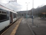
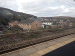
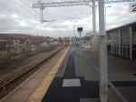
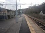
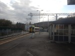
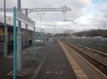
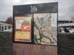
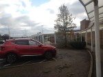
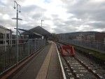
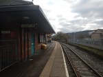
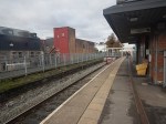
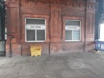
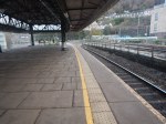
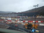
Treforest Estate Station – 28th November 2023
On Tuesday, I went to South Wales to look at the progress of the South Wales Metro.
I took these pictures at Treforest Estate station.
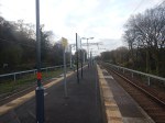
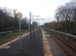
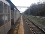
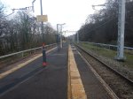
Note.
- The station has a narrow island platform.
- Aberdare, Merthyr Tydfil and Treherbert trains go through here. but on Tuesday not all were stopping.
- It was rather cold and draughty.
- The electrification looks to be of high quality.
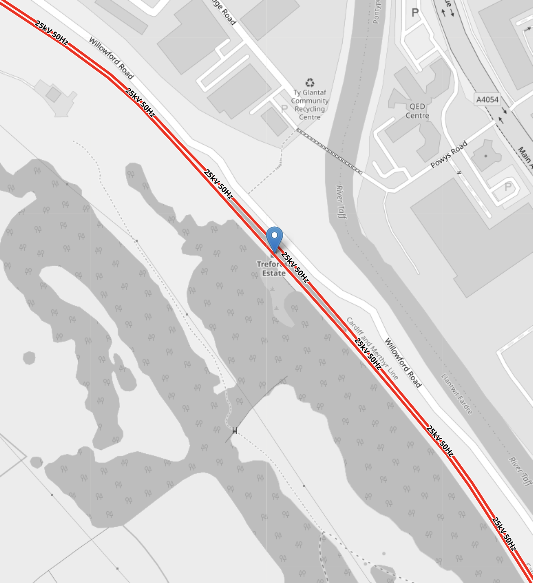
This OpenRalwayMap shows the tracks through the station.
Note.
- Electrified lines are shown in red.
- Unelectrified lines are shown in black.
- Pontypridd, where the tracks are not electrified is at the top of the map.
- The strange squiggle in the South-East corner of the map is Taff’s Well Depot.
- The blue arrow indicates the position of Treforest Estate station.
This OpenRalwayMap shows the station at a larger scale.
Note.
- Electrified lines are shown in red.
- Unelectrified lines are shown in black.
I wonder if the drivers will raise and lower the pantograph in Treforest Estate station. Or will this be automatic?
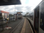
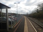
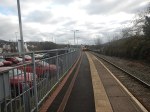
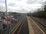
Abercynon Station – 28th November 2023
On Tuesday, I went to South Wales to look at the progress of the South Wales Metro.
I took these pictures at Abercynon station.
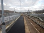
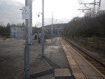
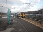
Note.
- The station has a wide island platform.
- The Aberdare and the Merthyr Tydfil branches merge here.
- It was rather draughty.
- The electrification looks to be of high quality.
This OpenRalwayMap shows the tracks through the station.
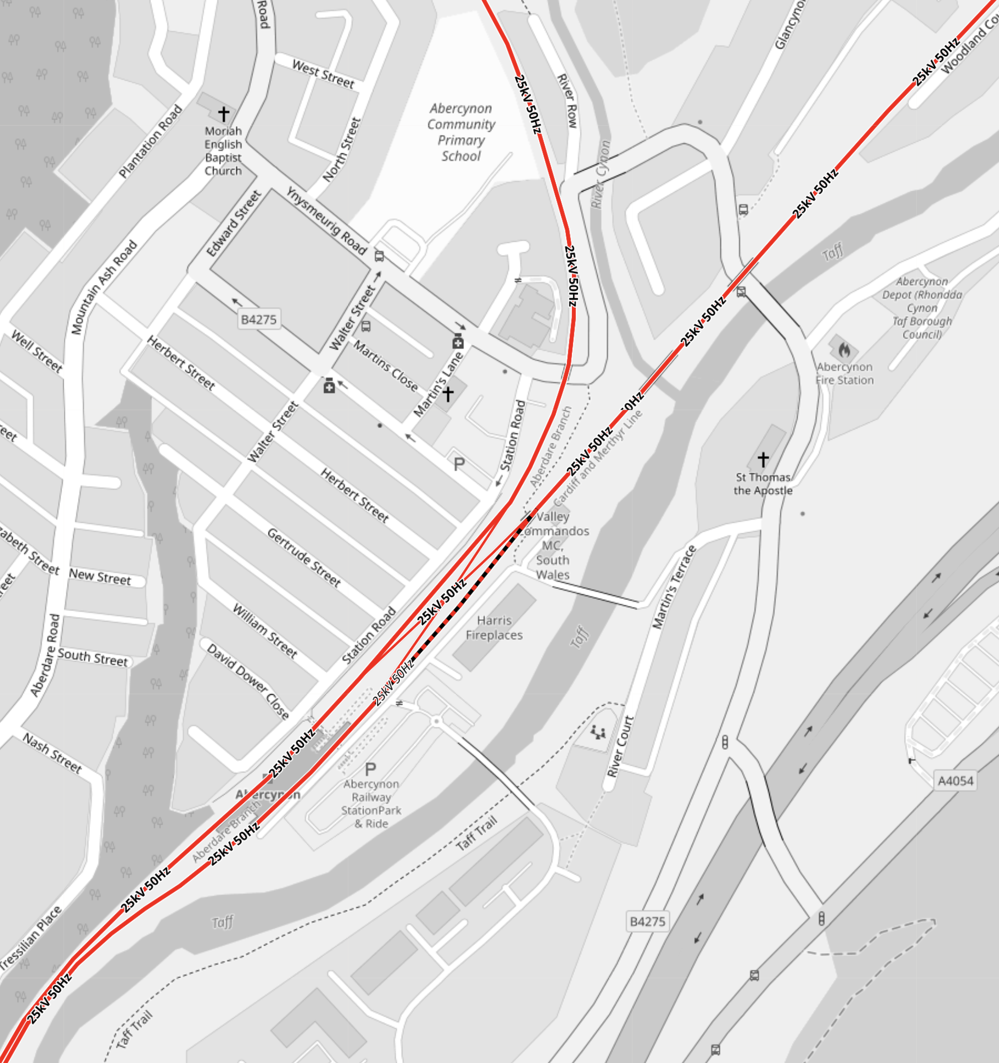
Note.
- Electrified lines are shown in red.
- Unelectrified lines are shown in black.
- The single-track going North is the Aberdare branch.
- The single-track going North-East is the Merthyr Tydfil branch.
- There is a crossover to the North of the station, so that trains can go where they should.
- The single platform is the grey-shaded area between the two tracks.
- The tracks are electrified to the South.
It is a neat simple station, that also allows passengers to travel between stations on different Northern branches.
The Increase In Passenger Capacity
Consider.
- Currently, there are two Class 150/2 tph on both Northern branches.
- This means current capacity is 596 passengers per hour.
- After electrification, there will be four Class 398 tph on both Northern branches.
- This means future capacity is 2016 passengers per hour.
That is an increase of 238 % in the capacity.
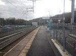
Merthyr Tydfil Station – 28th November 2023
Yesterday, I went to South Wales to look at the progress of the South Wales Metro.
I took these pictures at the station and in the town.

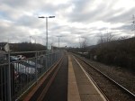
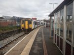
Note.
- It is only a single-platform station.
- The platform and track appear to be reasonably flat.
- Several bay terminal platforms in the UK like four of those at Dalston Junction and Highbury & Islington stations near me are able to handle four trains per hour (tph).
- The Class 150/2 trains in the are 19.74 metres long and have a maximum capacity of 149.
- The new electric Class 398 tram-trains are 40.07 metres long and have a capacity of 252.
The platform appears to be long enough for the new trains.
These are my thoughts.
Capacity To And From Merthyr Tydfil
Consider.
- Currently, there are two Class 150/2 tph.
- This means current capacity is 298 passengers per hour.
- After electrification, there will be four Class 398 tph.
- This means future capacity is 1008 passengers per hour.
That is an increase of 238 % in the capacity.
Where Is The Electrification?
This OpenRailwayMap shows the proposed electrification at Merthyr Tydfil station.
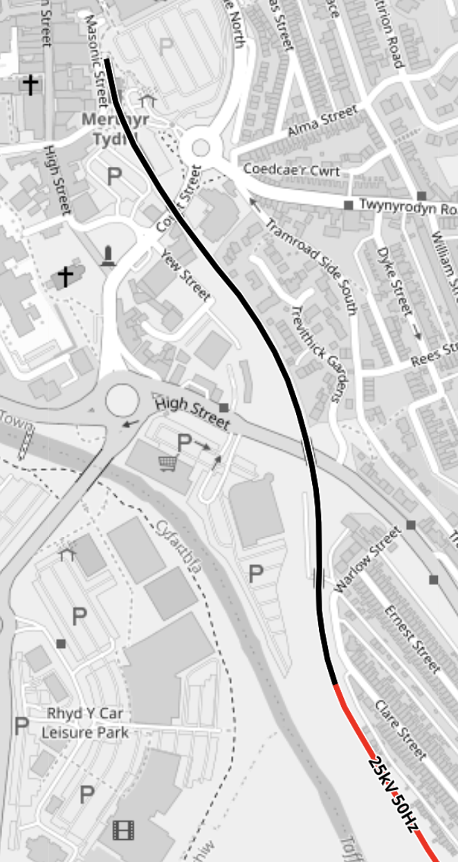
Note.
- Electrified lines are shown in red.
- Unelectrified lines are shown in black.
- The railway is single-track until past Troed-y-Rhiw, after which it is double track to Merthyr Vale station.
- Between Merthyr Vale and Abercynon is single-track, with a short length of unelectrified double-track at Quaker’s Yard station.
It appears that the section of the Merthyr Line at Merthyr Tydfil station will not be electrified.
- The tram-trains’ batteries must be large enough to climb the unelectrified section .
- There must also be enough power to nudge the tram-train back down the hill, after the climb has been completed.
- At least the pictures show, that the track in Merthyr Tydfil station, is reasonably flat.
It looks to be a neat piece of cost-saving design.
Why Did I Feel Better In Merthyr Tydfil?
I have been feeling under the weather lately, but I felt a lot better in Merthyr!
Was it the altitude of 180 metres?
My cardiologist friend, says most people feel worse at altitude. But I seem to be the other way round.
My wife was certainly feeling rough, when I drove a car up to 13,000 feet in the Andes of Ecuador, whereas I was fine.
Incidentally, the car was coughing and wheezing like a good ‘un.
First Digitally Signalled Passenger Train Comes To Northern City Line
The title of this post, is the same as that of this article on Rail Advent.
These two paragraphs introduce the article.
The Northern City Line experienced its first taste of digital signalling, as a passenger train controlled by the in-cab technology ran between Finsbury Park and Moorgate on Monday the 27th of November.
The introduction of this type of signalling – known as the European Train Control System, or ETCS – is a first step towards wider adoption across the rail network and represents an important milestone in the government-backed £1.4bn East Coast Digital Programme (ECDP). The programme is designed to improve journeys between London and north of Peterborough, with reliability and environmental outcomes at the forefront of the project’s deliverables.
I hope that one of the benefits will be more trains between Moorgate and Hertford North, Stevenage and Welwyn Garden City.
Climbing The Valley Lines In The South Wales Metro
There are five terminal stations on the Cardiff Valley Lines, of which four will be served by battery-electric trains or tram-trains from Cardiff.
In this post, I will show how they will achieve this feat.
Consider.
- To get to Aberdare, Merthyr Tydfil or Treherbert, a tram-train must first get to Pontypridd.
- To get to Rhymney, a train must first get to Caerphilly.
I will now deal with the seven stations in alphabetic order.
Aberdare
This OpenRailwayMap shows the three branches of the Cardiff Valley Lines, that go through Pontypridd.

Note.
- Electrified lines are shown in red and unelectrified lines are shown in black.
- The branch to Aberdare is the middle of the three branches.
- It is planned that the service on the Aberdare branch will be provided using Class 398 tram-trains, that will be fitted with batteries.
- Electrification will be complete between Aberdare and Pontypridd.
It would appear that a tram-train could run between Aberdare and Pontypridd using the complete electrification.
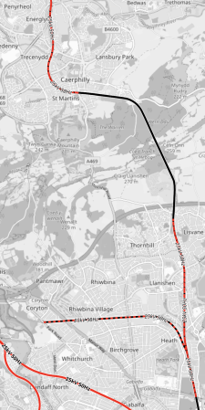
Caerphilly
These two OpenRailwayMaps show the tracks through Caerphilly.


Note.
- The map on the left shows infrastructure, with the Rhymney Line shown in yellow.
- Caerphilly station is in the top third of the map.
- The white section of the Rhymney Line is the Caerphilly tunnel.
- The map on the right shows electrification, with the sections of the Rhymney Line that will be electrified are shown in red.
- Black sections will not be electrified.
- North of Caerphilly, the Rhymney Line is electrified, but through the station and the Caerphilly tunnel, there will be no electrification.
Trains will use battery power, where there is no electrification.
Ebbw Vale Town
This OpenRailwayMap shows the Ebbw Valley Railway.
Note.
- Electrified lines are shown in red and unelectrified lines are shown in black.
- Lines where electrification will be installed are shown in red and black.
- Newport is marked by the blue arrow.
- The North-South Line at the left is the Rhymney Line.
- The North-South Line in the middle is the Ebbw Valley Railway.
- The North-South Line at the right is the Marches Line to Hereford and Shrewsbury.
Trains will use diesel power on the Ebbw Valley Railway, as there is no electrification and no means of charging battery-electric trains.
It does seem strange that no electrified solution has been proposed for the Ebbw Valley Railway.
Consider.
- An Abertillery branch has been proposed.
- A Newport and Ebbw Vale Town service has been proposed and will be implemented.
- Perhaps the line is difficult to electrify.
It could just be, the electrifying the Ebbw Valley Railway, was a step too far.
Merthyr Tydfil
This OpenRailwayMap shows the three branches of the Cardiff Valley Lines, that go through Pontypridd.
Note.
- Electrified lines are shown in red and unelectrified lines are shown in black.
- The branch to Merthyr Tydfil is the rightmost of the three branches.
- It is planned that the service on the Merthyr Tydfil branch will be provided using Class 398 tram-trains, that will be fitted with batteries.
- Electrification will be complete between Merthyr Tydfil and Pontypridd, except for two short sections.
- I would assume that the short unelectrified sections can be handled using the tram-trains battery power.
It would appear that a tram-train could run between Merthyr Tydfil and Pontypridd using the electrification and the tram-trains batteries.
This shows the track layout at Quaker’s Yard station.
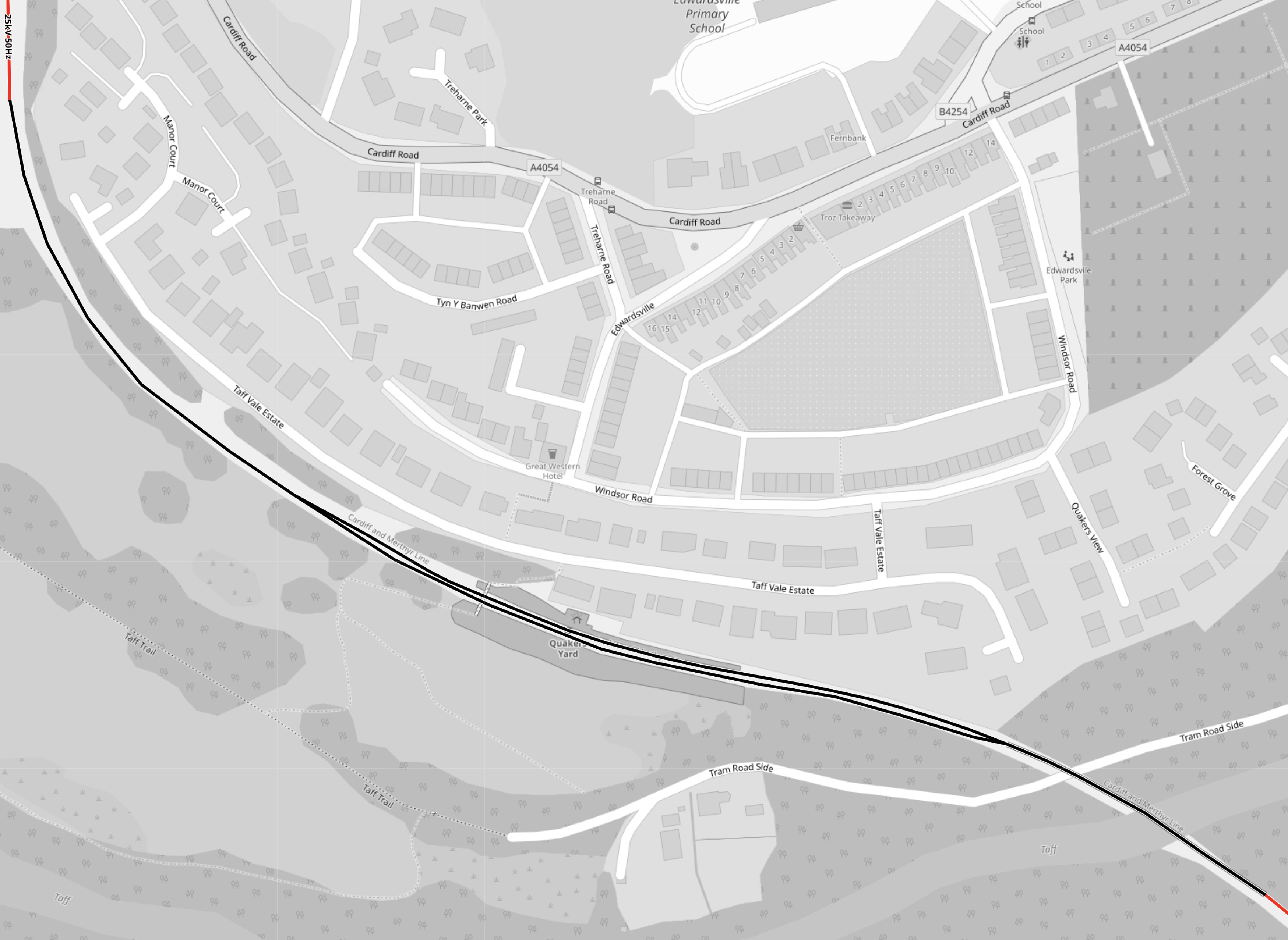
Note.
- Electrified lines are shown in red and unelectrified lines are shown in black.
- There are only two short length of electrification shown in the corners the map.
- Quaker’s Yard station has two platforms.
- The track layout appears to have single- and double-track sections.
It looks like it has been decided not to electrify this section. Perhaps, it was just too complicated to electrify easily?
This 3D Google Map shows the terminal station at Merthyr Tydfil.
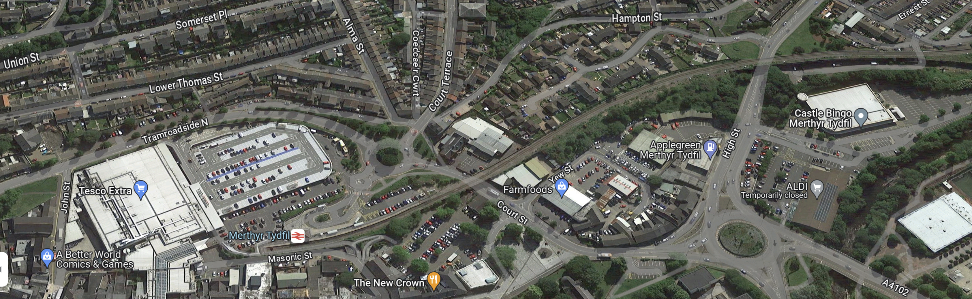
It looks like the railway runs through the town to the station. So perhaps leaving out the electrification made everything safer?
Pontypridd
This OpenRailwayMap shows the tracks through Pontypridd.
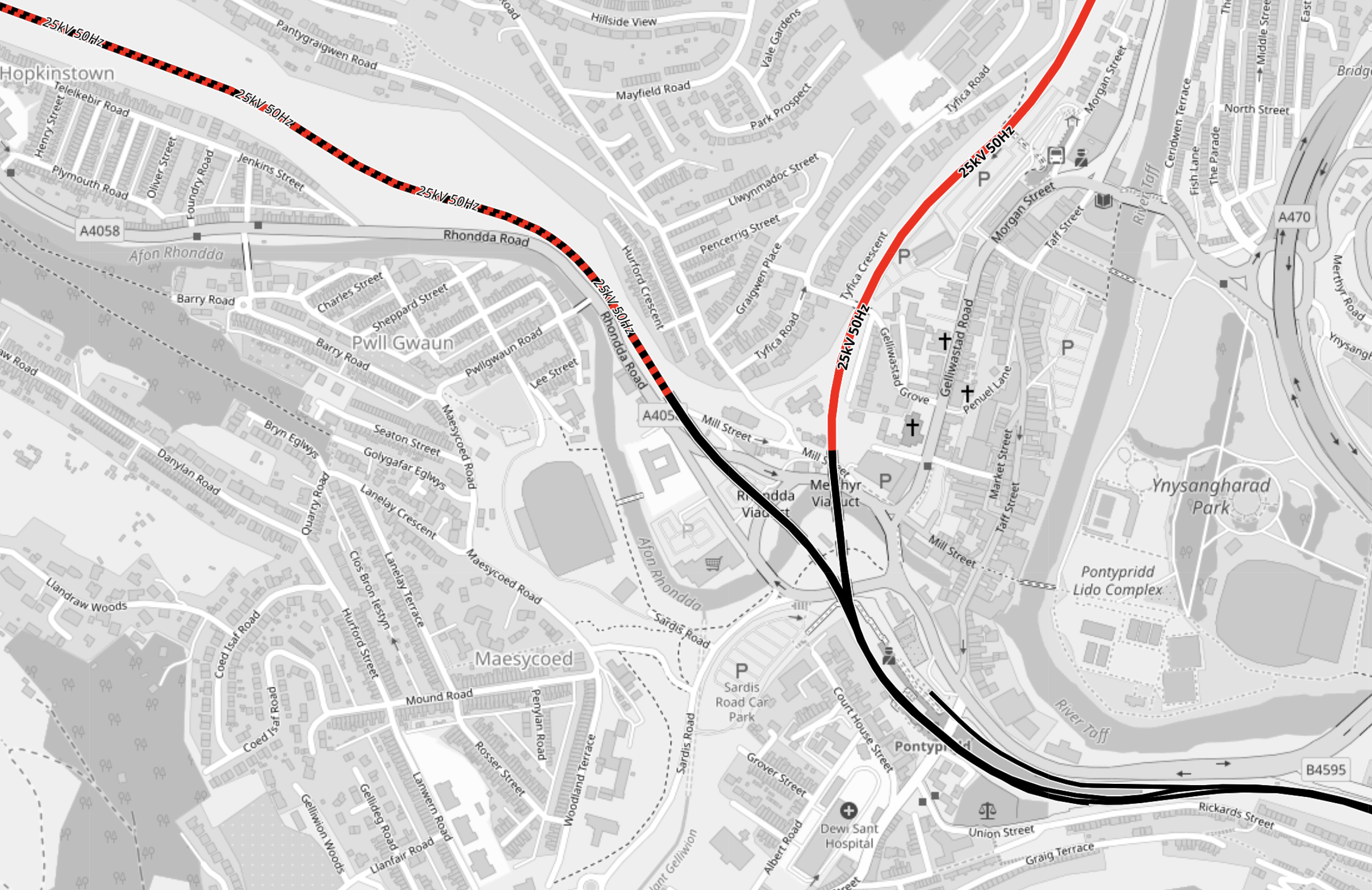
Note.
- Electrified lines are shown in red and unelectrified lines are shown in black.
- Lines where electrification will be installed are shown in red and black.
- The line leaving the map in the South-East corner is the line to Cardiff.
- The line leaving the map in the North-West corner is the Rhondda Line to Treherbert.
- The line leaving the map in the North-East corner is the Merthyr Line to Aberdare and Merthyr.
Pontypridd stations lies at the junction of the three lines.
This OpenRailwayMap shows the platforms at Pontypridd.
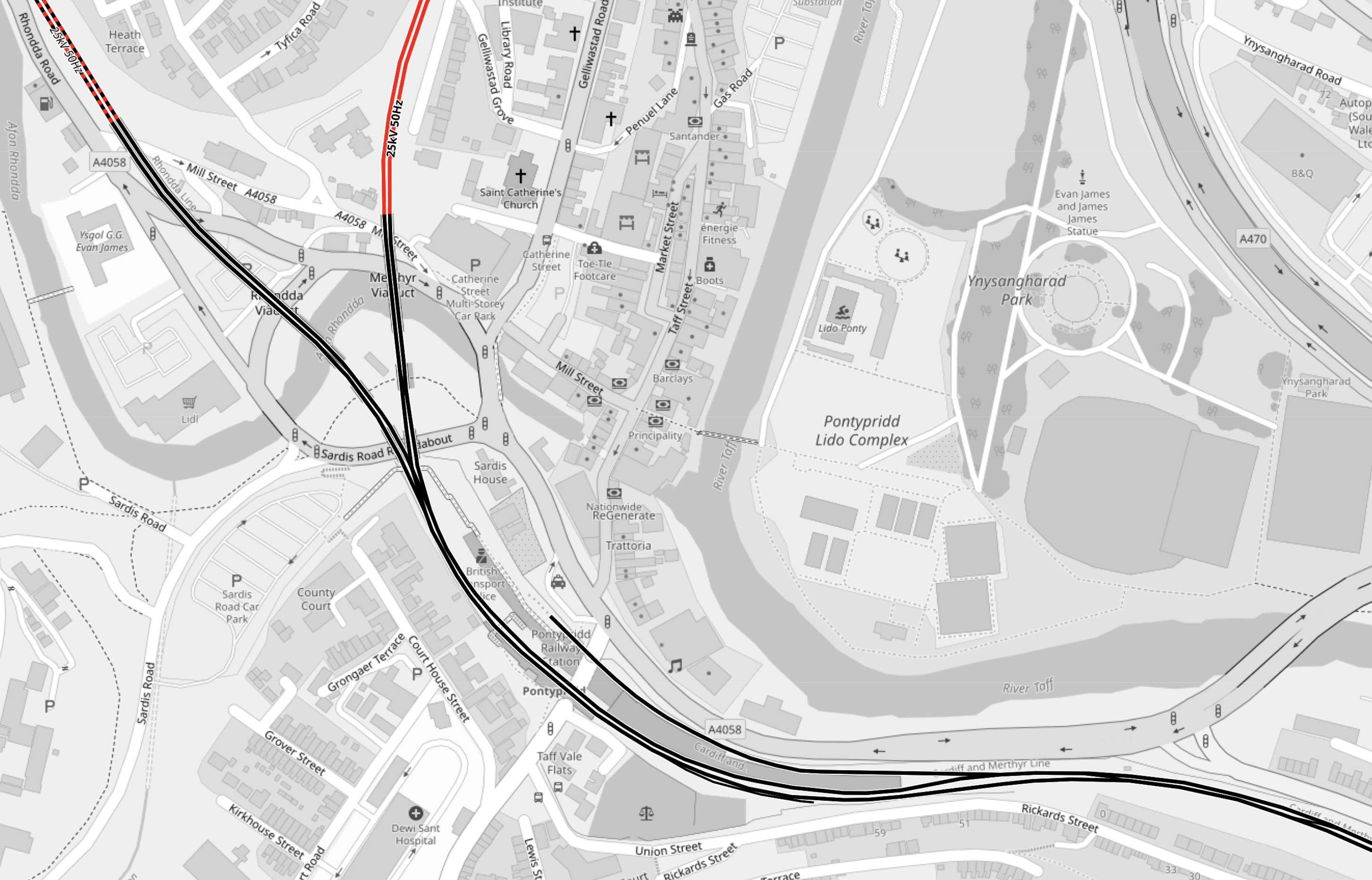
Note.
- There are two long through platforms.
- There is a bay platform on the North side of the station for extra Cardiff services.
- The station is not electrified.
These pictures show Pontypridd station.

The station is Grade II Listed.
How will the tram-trains be powered through Pontypridd station?
Older Welsh railwaymen have told tales of how the coal trains from the mines in the valleys to Cardiff Docks were powered in part using gravity to propel the trains to the Docks. Steam locomotives then hauled the trains up the hills to get another load of coal.
Will Newton’s Friend be used to help the tram-trains return to Cardiff?
As the tram-trains descend, regenerative braking can be used to recharge the batteries.
A sophisticated computer control system, would choose the source of power from that which is available.
Descending from the terminal stations of Aberdare, Merthyr and Treherbert, and through Pontypridd would probably need a small amount of battery power to nudge the train to descend down the hill.
Fully-electrified stations like Aberdare and Treherbert will have the luxury of being able to use power from the electrification to start the descent.
Climbing the hills will be mainly on battery power, with the batteries being charged, where overhead electrification exists.
Rhymney
This OpenRailwayMap shows the Northern part of the Rhymney Line from Caerphilly to Rhymney.
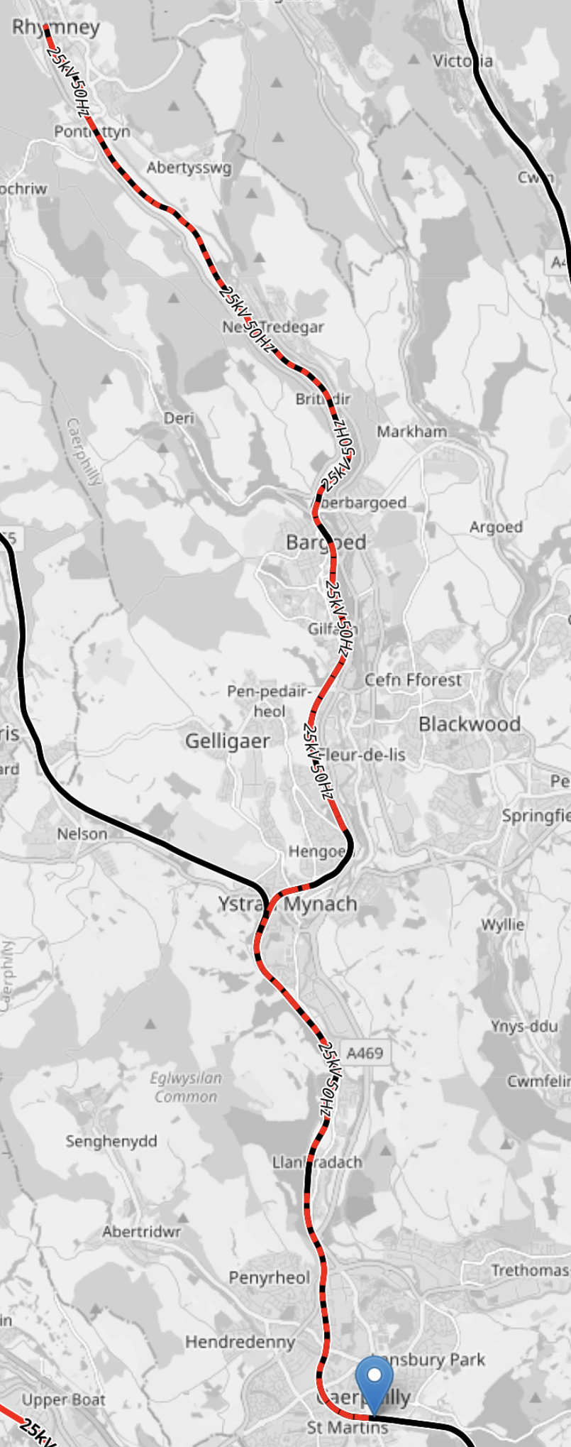
Note.
- Electrified lines are shown in red and unelectrified lines are shown in black.
- Lines where electrification will be installed are shown in red and black.
- Caerphilly is marked by the blue arrow at the bottom of the map.
- Rhymney is at the Northern end of the rail line.
- Bargoed, Hengoed, Llanbradach and Caerphilly stations appear not to be electrified.
- It is planned that the service on the Rhymney Line will be provided using Class 756 trains, that will be fitted with batteries and diesel engines.
The Class 756 trains appear to have been designed to climb to Rhymney in all conditions, including a complete power cut. They will use batteries on the unelectrified sections of the climb.
Treherbert
This OpenRailwayMap shows the three branches of the Cardiff Valley Lines, that go through Pontypridd.
Note.
- Electrified lines are shown in red and unelectrified lines are shown in black.
- Lines where electrification will be installed are shown in red and black.
- The branch to Treherbert is the leftmost of the three branches.
- It is planned that the service on the Theherbert branch will be provided using Class 398 tram-trains, that will be fitted with batteries.
- Electrification will be complete between Treherbert and Pontypridd.
It would appear that a tram-train could run between Treherbert and Pontypridd when the electrification is complete.
Conclusion
Each of the five lines use their own methods of getting trains up the hills.
I suspect we’ll see some of the ideas used here on other stretches of electrification.
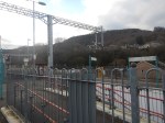
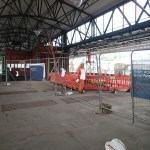
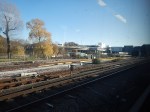
Taff’s Well Station – 22nd November 2023
I took these pictures as I passed through.
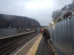
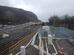
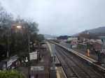
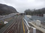
Note.
- A depot for the tram-trains is being built.
- The depot looks rather small.
- Four Class 398 tram-trains are lined up in the sidings of the depot.
- The last picture was taken four years ago , before any work started.
This OpenRailwayMap shows the depot.
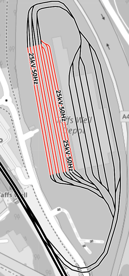
Note.
- Electrified tracks are shown in red.
- Unelectrified tracks are shown in black.
- There are nine electrified sidings, which from my picture appear to be able to hold two tram-trains each.
- From other pictures on the web four of the unelectrified lines are covered tracks in the depot.
- The final two tracks seem to allow tram-trains to enter and leave the depot and these tracks are partially covered, there could be a washer alongside the building.
- The unelectrified Merthyr Line runs across the South-West corner of the map.
- Tram-trains will always enter the depot from the North.
- Tram-trains will always leave the depot to the North.
It is a slightly unusual layout for a depot, but it seems to fit well into a small site.
This OpenRailwayMap shows the Merthyr Line as it passes Taff’s Well Station and Depot.
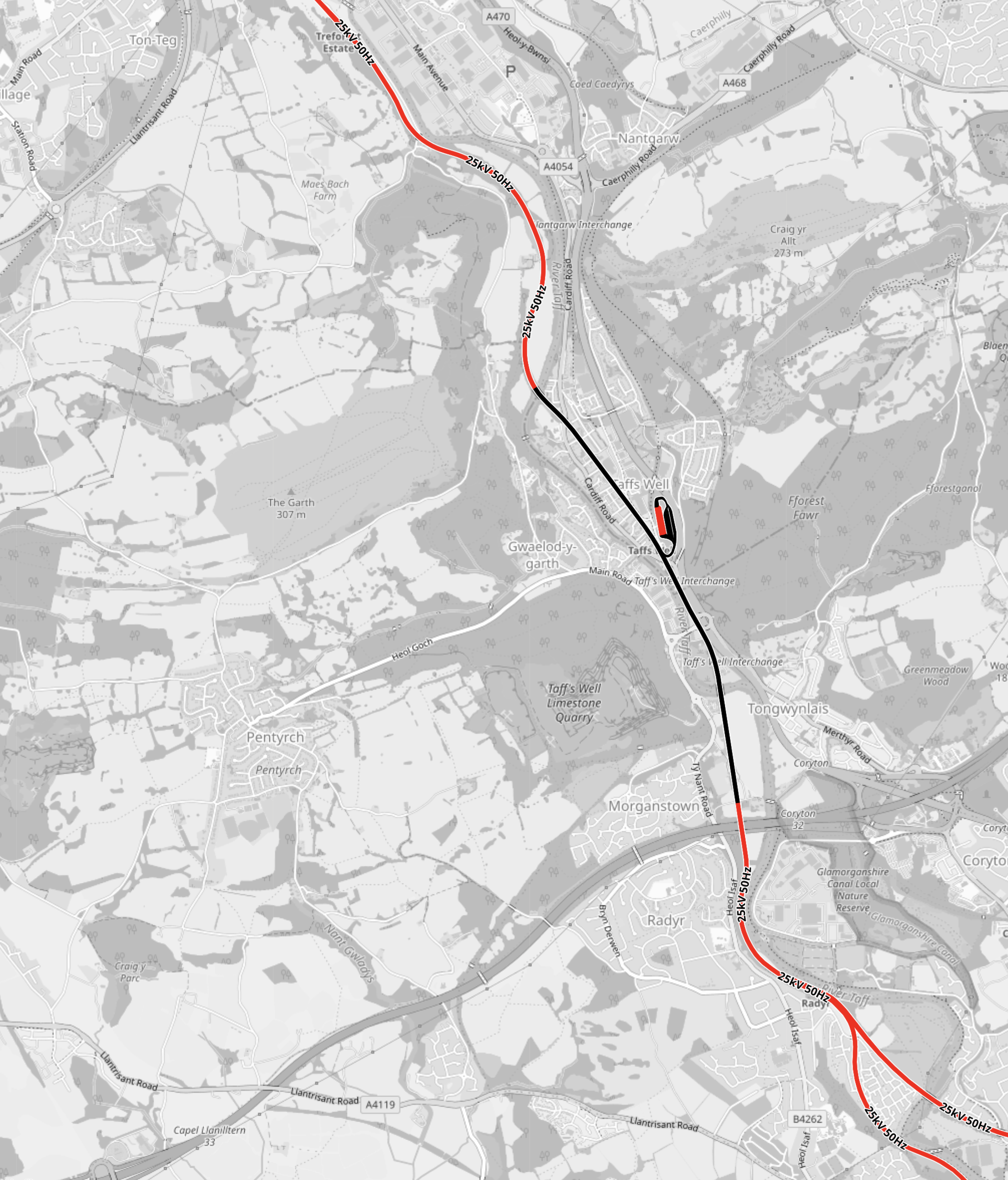
Note.
- The Merthyr Line runs roughly North-West and South-East across the map.
- The Northern and Southern sections of the Merthyr Line are electrified, but the central section is not.
- Taff’s Well Depot is the red and black wart on the unelectrified section of the Merthyr Line.
- Tram-trains going North go to Pontypridd and then on to the three branch terminals at Treherbert, Aberdare and Merthyr Tydfil.
- Tram-trains going South go to Cardiff Central and Cardiff Queen Street stations.
Tram-trains use a mixture of overhead electrisation, battery power and assistance from Newton’s friend for power.
How A Tram-Train Arrives At Taff’s Well Depot
Consider.
- Tram-trains must approach Taff’s Well Depot from the North to enter the depot.
- This shouldn’t be a problem, as there appear to be crossovers at Pontypridd to transfer a tram-train to the right line if needed.
- As they descend from Pontypridd, any braking can be used to charge the batteries on the tram-trains.
- The track layout in the depot appears to allow any entering train to go into any track in the depot.
So depending on the work needed before the next trip, the tram-train can be efficiently placed in the right section.
How A Tram-Train Leaves Taff’s Well Depot
Consider.
- Tram-trains must leave Taff’s Well Depot to the North.
- As the Merthyr Line is not electrified, where the tram-trains leave the depot, they need to leave with enough power in the battery to reach the electrified section of the Merthyr Line.
- Tram-trains can only be charged in the nine electrified sidings.
So do the tram-trains, wait in the electrified sidings until, they have enough power in the batteries to do a circuit of the depot, join the Merthyr Line and go up the hill to the electrification?
If as I suspect, there is a tram-wash behind the depot, they can even take a pass through, so they enter service after a wash.
Conclusion
This could be a very efficient depot.
Crafty Electrification On The Rhymney Line
I was puzzled on Wednesday, when I took the Class 231 train to Caerphilly on the Rhymney Line, when I saw no signs of electrification.
These are pictures I took at Caerphilly station.

These two OpenRailwayMaps show the tracks through Caerphilly.
Note.
- The map on the left shows infrastructure, with the Rhymney Line shown in yellow.
- Caerphilly station is in the top third of the map.
- The white section of the Rhymney Line is the Caerphilly tunnel.
- The map on the right shows electrification, with the sections of the Rhymney Line that will be electrified are shown in red.
- Black sections will not be electrified.
- North of Caerphilly, the Rhymney Line is electrified, but through the station and the Caerphilly tunnel, there will be no electrification.
Trains will use battery power, where there is no electrification.
This article on Modern Railways gives more information.
This OpenRailwayMap shows the electrification around Cardiff Central and Queen Street stations.
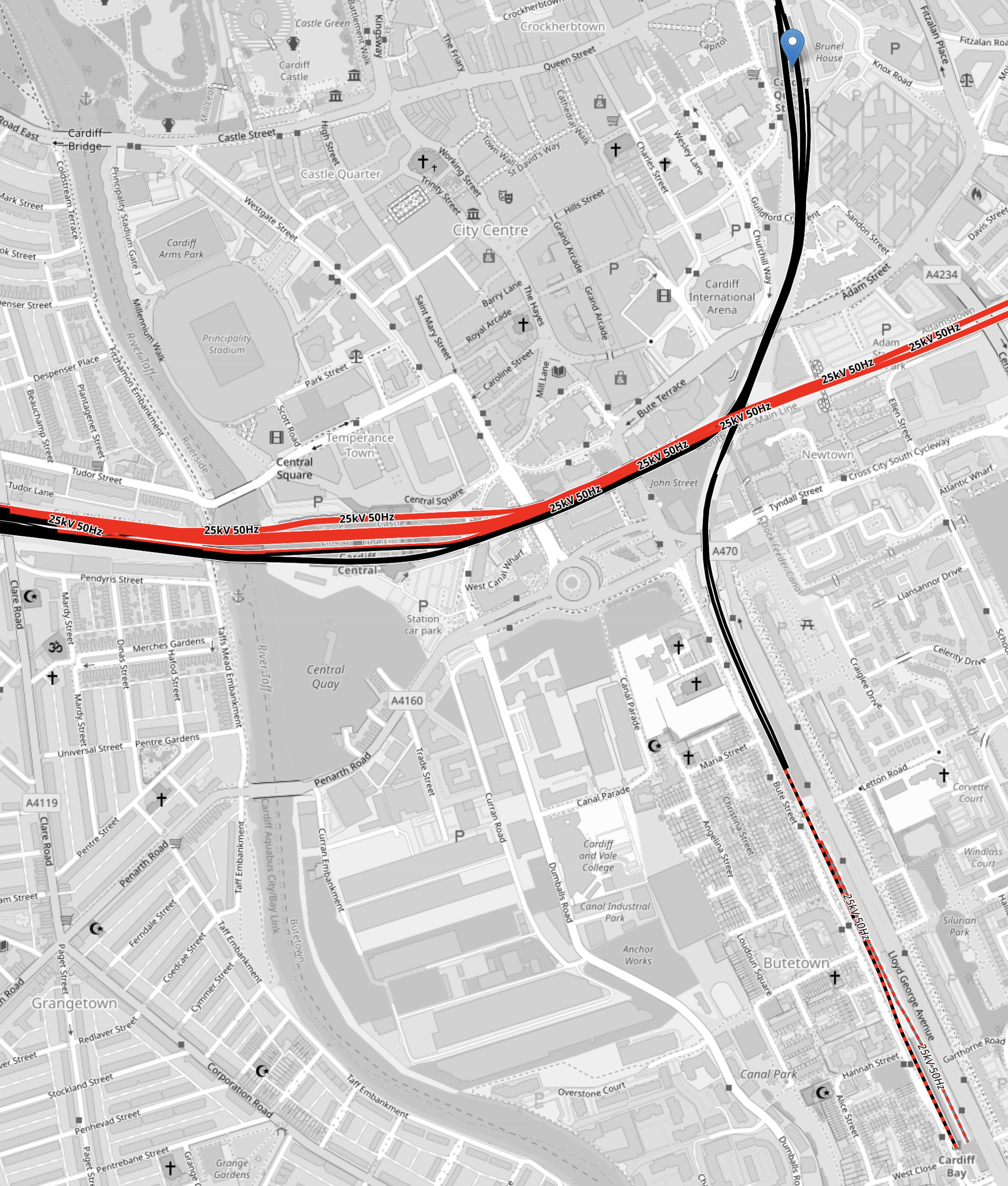
Note.
- Electrified lines are shown in red.
- Unelectrified lines are shown in black.
- The four-platform Cardiff Queen Street station is marked by the blue arrow in the North-East corner of the map.
- There appears to be no plans for electrification in Cardiff Queen Street station.
- The electrified line across the map is the South Wales Main Line.
- The nine-platform Cardiff Central station sits on the South Wales Main Line.
- The main line platforms at Cardiff Central station are electrified, but it appears that Platforms 6.7 and 8. that will serve the South Wales Metro, will not be electrified.
- The line going to the South-East is the branch to Cardiff Bay station.
- The Southern part of this branch appears to be planned to be electrified. so that it can charge the tram-trains before they return North.
This article on Modern Railways says this about catenary-free sections (CFS) in the electrification of the South Wales Metro.
Catenary-free sections are concentrated on areas where it is disproportionately expensive to erect overhead wires. These include the area around Cardiff Queen Street station and the adjacent junction, which has complicated switches and crossings. North of Queen Street, the Cathays area adjacent to Cardiff University and the hospital would present a significant electromagnetic compatibility challenge, so a CFS avoids this complication. Other catenary-free areas will include Pontypridd, where the station features listed canopies and the track is curved, and around the new depot at Taff’s Well, where there will be a significant number of new switches and crossings as well as challenges around highway bridges.
I am in touch with two major electrification companies and I am sure we’ll be seeing a lot more crafty electrification and the use of battery-electric trains.
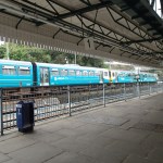
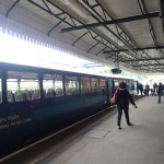
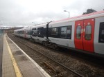
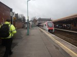
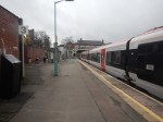
My First Ride On Class 231 Trains – 22nd November 2023
I had several rides on Class 231 trains on a visit to Cardiff.
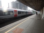
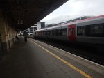

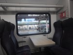
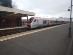
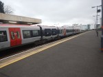
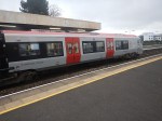
Note.
- The trans were running on the Rhymney Line.
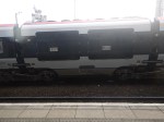
- Like Greater Anglia’s Class 755 trains, they have pop-out steps and a PowerPack in the middle.
- The trains didn’t appear to be using their pantographs to run on electric, where it existed.
They were very similar to the Class 755 train.
Gatwick Airport – 23rd November 2023
I went to Gatwick Airport to see the new railway station.
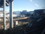
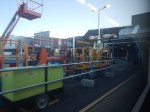
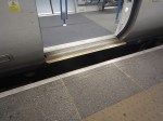
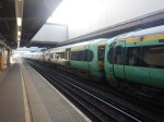
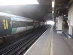
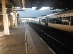
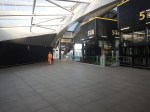
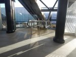
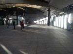
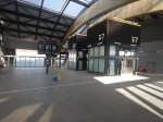
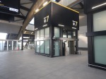
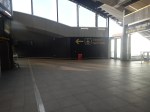
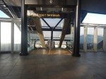
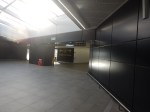
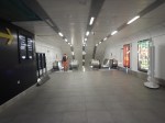
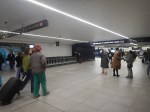
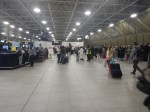
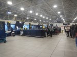
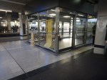
Note.
- As at Reading and Leeds stations, space has been created by building a wide concourse over the tracks.
- The experience certainly seemed better.
- Most platforms have up and down escalators and lifts.
- There were still a few things that needed to be finished.
But for me, as a man with a Freedom Pass and a Senior Railcard, the ticketing to Gatwick is still a pain.
- If I go to Heathrow or London City, I use my Freedom Pass to get to the Airport.
- If I go to Eurostar, I use my Freedom Pass to get to St. Pancras station.
- If I go to Stansted, I use my Freedom Pass to get to Liverpool Street station and buy a ticket for Stanstead Express.
If I go to Gatwick, Luton or Southend airports, I use my Freedom Pass to get to a station with a Booking Office and then buy an extension ticket from the Zone 6 boundary to the airport.
I believe there are three solutions.
Make It Possible To Link A Bank Card To A Freedom Pass
It should be possible to do something like the following.
- Touch in at Moorgate.
- Take the Elizabeth Line to Farringdon.
- Take Thames to Gatwick Airport.
- Check out at Gatwick Airport.
The credit card associated with the Freedom Pass would then be charged the fee for between the Zone 6 boundary and Gatwick Airport.
The credit card would be entered through the Freedom Pass web site.
On a related matter I believe that the Freedom Pass web site could be a nice little earner for Transport for London, by doing the following.
- Selling rail tickets on a best-priced basis. Savings are to be had by selling tickets for Freedom Pass holders from the Zone 6 boundary.
- Managing Railcards.
- Selling Transport for London merchandise.
Nobody would pay more than they do now, but Transport for London would pick up some commission from selling tickets.
Develop A Flexible App That Works With A Freedom Pass And Phone Payments
Similar to the first option, but the app charges accordingly.
Put Gatwick Airport In Zone 6
The management of Gatwick Airport might like to attract more travellers, so they would pay from the Zone 6 boundary for Freedom Farm users.
Conclusion
I would find the first two options acceptable, providing the charges were no more than now!
