Camden Town Station Capacity Upgrade
Camden Town station on the Northern Line of the London Underground is one of the most congested stations on the network.
It finally looks like something is happening to ease the problems as this consultation is now on the TfL website.
TfL’s first rebuilding plans are described in Wikipedia and they needed a lot of demolition. Wikipedia says this.
Apart from complaints about destruction of one of the ox-blood tiled station buildings, there is a significant controversy over the demolition of the buildings to the north. Complaints particularly centred on London Underground’s desire to replace the buildings with modern construction said to be out of place and out of scale with the remainder of Camden Town, together with complaints about the loss of the buildings and market themselves. This led to a public inquiry being held. In January 2004, consultants Arup published plans commissioned by Save Camden, a group of local market traders, for a remodelling that would preserve the majority of the threatened buildings, including the market. In 2005 Transport for London lost its appeal to the office of the Deputy Prime Minister and the scheme has been cancelled.
So this has led to the current plan, where TfL are proposing a second entrance on Buck Street. They say this in the consultation.
A possible site for a new station entrance would be on Buck Street, between Camden High Street and Kentish Town Road. It would lead to three new escalators and two lifts. Below ground there would be more space to change between trains. This would in turn enable future capacity benefits on the Northern line.
The most significant point is the capacity upgrade on the line, which involves splitting the Northern Line into two.
- The Edgware Branch would take the Charing Cross route to Kennington before continuing to Battersea and eventually Clapham Junction.
- The High Barnet Branch would take the Bank route to Kennington and then go to Morden.
The only thing stopping this is the current mess that is Camden Town.
I would assume that this upgrade would include an easy walk-across for passengers changing between the two new lines at Camden Town.
On the surface, it would appear that little will be done, except to build the new station entrance on the site of a closed school. This map shows the position of the new entrance.
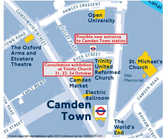
New Entrance To Camden Town Station
It would be ideally placed for the hoards of visitors going to and from Camden Lock and the various markets.
It is also worth looking at the layout of lines in the area.
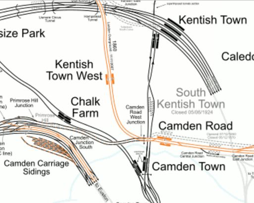
Camden Town And Camden Road Stations
Note how Camden Road station is actually quite close to the northern end of the platforms at Camden Town station.
So would it be possible to create a better link between the two stations?
I would certainly feel that when the Northern Line is split and extended to Battersea, many people would use the interchange. I certainly would, as getting to places like Charing Cross or Waterloo is one of those journeys you don’t start from Hackney.
future.
In Transport for London’s London Infrastructure Plan for 2050, this is said.
This will allow, for example, higher frequency services out of terminals such as Victoria to South London centres such as Croydon and the development of major interchange hubs that act in a similar way to Clapham Junction in the South West. e.g. Camden Interchange between Camden Road and Camden Town stations.
So obviously, TfL are thinking along these lines.
The two stations are an official out-of-station interchange.
A Google Map also shows Buck Street and the North London Line.
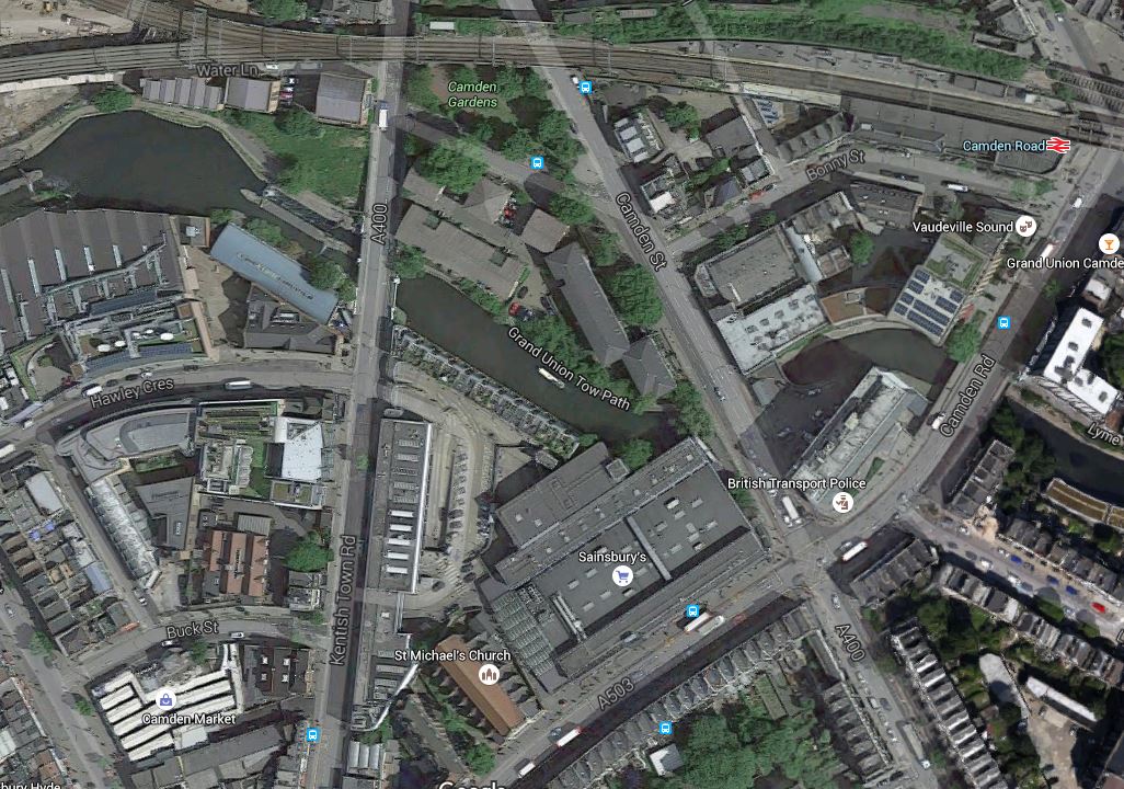
Buck Street To Camden Road
Buck Street is the curved road in the bottom left corner of the map, just above the white building which is Camden Market. On the North side of the street is Hawley Infant and Nursery School, which will become the site of the second entrance to Camden Town station.
The North London Line runs across the top of the map with Camden Road station at the right. It is worthwhile noting the fork in the line.
- The southern arm is a freight-only line, that leads to the disused Primrose Hill station and the Watford DC Line.
- The northern arm is the North London Line to Willesden Junction.
At one time it was proposed that changes be made here, as detailed in Wikipedia, but nothing seems to be planned at the moment.
The only thing the proposal shows is that TfL have been thinking hard about this area.
But I do think that London’s universe-class tunnellers could create an escalator connection between the two stations, if that was decided how the interchange was to be created.
There could also be other simpler ways to create better walking routes between Camden Road station and Buck Street. I will have to check, but I don’t think it is possible to walk along the tow-path of the Regent’s Canal.
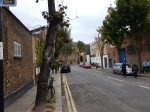
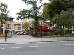
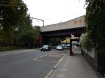
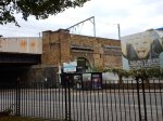
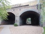
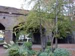
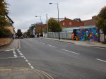
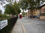
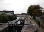
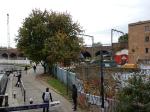
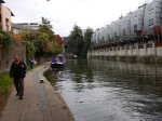
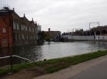
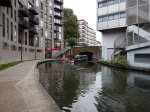
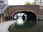
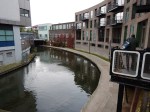
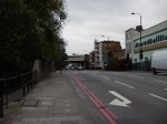
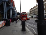
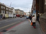
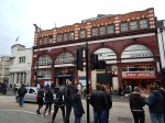
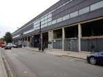
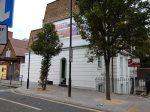
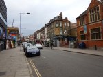
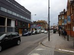
Later I took a train to Camden Road station and then walked by a roundabout route to Camden Town station.
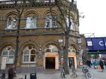
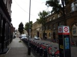
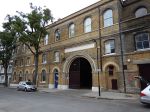
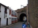

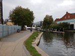
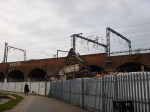
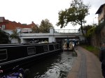
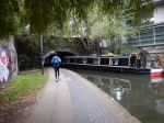

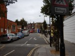
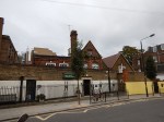
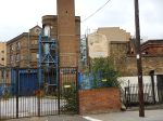
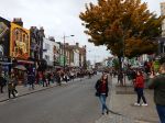
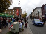
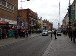
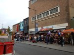
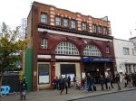
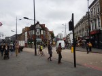
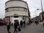
Do I have any conclusions and questions?
- The current walking route between the two stations is crowded and possibly dangerous. It also involves crossing two roads at lights.
- Because there is now steps down from Camden Road to the Regent’s Canal Tow Path, there is already a walking route between Camden Road station and Camden Lock, which does not mean any roads have to be crossed. Some improvements to the surface and perhaps guard and hand rails would need to be made to bring it up to a safe standard.
- It might be possible to install lifts, at Camden Road, Kentish Town Road and Camden Lock to make the tow path fully-accessible to all.
- Until Camden Town station is extended and improved, it could be sign-posted as an alternative route to Camden Lock.
- As you approach Camden Lock, where the railway runs along the Regent’s Canal, what plans are there for development in the area?
- The Regent’s Canal Tow Path, would also enable a walking route between Camden Road station and the new Buck Street Entrance to Camden Town station.
- It would appear that the Hawley Infant and Nursery School is not a bad place for a second entrance to Camden Town station, as it is well placed for the attractions between Camden Town and Camden Lock.
- The Buck Street site is probably big enough to create a second entrance, which has a capacity substantially greater than the current station. The consultation talks of three new escalators and two lifts, but capacity is often determined by the space at the bottom of the lifts/escalators, which I’m sure would be more than adequate.
- The area round Camden Town station is more than incredibly busy.
- There are bus stops everywhere and they could do with being reorganised. As an example, getting a bus to London Zoo is not very easy.
- There are quite a few low-grade buildings in the area, that few would miss.
- How was planning permission for the Sainsbury’s supermarket obtained?
- Incidentally, the store was built in 1988, so it must be coming up for refurbishment soon.
But looking at the North London Line as it passes over Camden Gardens and along the canal, it struck me that something dramatic and modern, but that still fitted in with the surroundings could be created that connected the high viaduct of the North London Line to the ground below and then by escalators and/or lifts to the Northern Line tunnels. I then looked at the Google Map of the area from Camden Road station to Camden Gardens.
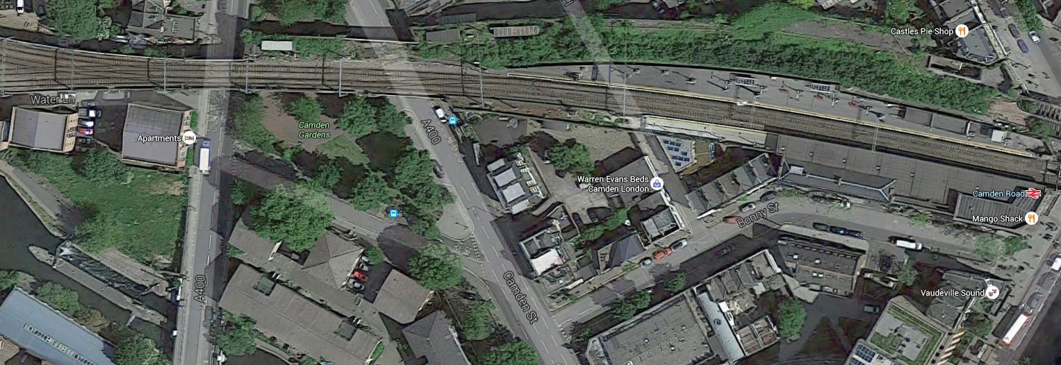
To The West Of Camden Road Station
Note the disused twin-track rail loop around Camden Road station to the north side of the station. There is also a smaller space on the south side that leads almost to Camden Gardens.
Surely, an imaginative architect could use these resources to extend the station to the area of the gardens, from where some means of descending and ascending would be provided. Large lifts or escalators fully enclosed in glass would be something I’ve seen elsewhere and they would contrast well with the bricks of the viaduct.
With my project management hat on, I also believe that TfL have chosen a design, that will be easy to build.
- Phase 1 – Build the second entrance with its lifts and escalators as almost a second station connected to the existing platforms. There is another station on the Underground that is effectively two stations – Knightsbridge, because of Harrods.
- Phase 2 – Open the second entrance and prove that it can handle all the passengers who want to use the station.
- Phase 3 – Close and refurbish the existing station.
The link to Camden Road station would probably be incorporated into Phase 1.
I don’t know anything about the safety arrangements of stations, but surely a twin station’s duplication must make it simpler.
There is a chance to create an iconic Camden Interchange station, that truly reflects the unconventional nature of Camden Town.
The Tate Modern Extension
The Tate Modern Extension is coming on.


There does seem a lot of work to do for opening next year!
The Proof That Good Design Doesn’t Have To Be Expensive
I’ve watched the transformation of Manchester Victoria station from a dirty dump over the last few years. These are a few posts.
- Manchester’s Disorganised Public Transport
- Victoria Gets A Posh Umbrella
- Will Manchester Victoria Station Be Promoted To The Premier League?
- Coffee And Seats At Manchester Victoria
But now as this article on the BBC shows, it’s all finished.
Compared to other station works in the UK, the title of the report is surprising – Manchester Victoria reopens after £44m upgrade
But then the best design is often not as expensive as the crap!
Long may Victoria reign in Manchester!
A John Lewis With Its Own Station
John Lewis didn’t have a store in Birmingham, but they opened one in the Grand Central Shopping Centre on Thursday above the reopened New Street station.




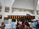




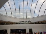








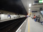


It is pretty spectacular to say the least.
The comedians will start to be calling the West Midlands, the White Country, if stations of this style appear all over the area.
I wonder when you last saw the sun in the main Birmingham station!
A Perfect Storm In Ilford
This article from the Ilford Recorder is entitled Redbridge Council leader says Ilford town centre has ‘the perfect storm’ for regeneration.
It talks about a billion pound of investment in the next six years.
So it does look like one of the more dreary parts of East London is going to be improved.
In my view, it shows how Crossrail is going to regenerate large swathes of London.
Although, in the article, I do think that that the design for homes on the Sainsburys site on Roden Street, is very much out of the design manual of Soviet Russia, that I saw in Nova Huta.
The Piccadilly And Victoria Lines, Manor House Station And Harringay Green Lanes Station
The planners and the politicians created a real dog’s breakfast here, when the Victoria Line was designed and built in the 1960s.
A Few Facts
I’ll start with a few facts, as far as we can trust Wikipedia.
From the Planning and construction section of the entry for the Victoria Line.
A test tunnel from Tottenham to Manor House under Seven Sisters Road had been bored in 1959 and was later incorporated into the running tunnels.
From the entry for Seven Sisters station.
The section of Victoria line between Seven Sisters and Finsbury Park stations is the longest between adjacent stations in deep level tunnels on the London Underground network.
From our own observations.
There is a ventilation station at the junction of Green Lanes and St. Ann’s Road. This was put in, as it’s a long way between Turnpike Lane and Manor House stations. The Cockfosters Extension section of the entry for the Piccadilly Line says this.
It was also planned to build a station between Manor House and Turnpike Lane at the junction of Green Lanes and St Ann’s Road in Harringay, but this was stopped by Frank Pick, who felt that the bus and tram service at this point was adequate. However, a ‘Ventilation station’, in similar architectural style to tube stations of the time was provided at the site, and is visible today. There was also some opposition from the London and North Eastern Railway to the line.
I think we underestimate the influence the LNER had on shaping London’s railways. Much was positive, but some was about protecting their interests.
I had a great uncle, who lived in Harringay and in the 1950s, we’d go and visit him on the 29 bus, as it was a long walk from Turnpike Lane.
What Might Have Been
Here again from various parts of Wikipedia.
From the Victoria Line section of the entry for the Piccadilly Line
During the planning stages of the Victoria line, a proposal was put forward to transfer Manor House station to the Victoria line, and also to build new “direct” tunnels from Finsbury Park to Turnpike Lane station, thereby cutting the journey time in and out of central London. This idea was eventually rejected due to the inconvenience to passengers that would have been caused during rebuilding, as well as the costs of the new tunnels.
From the entry for Seven Sisters station.
During the planning phase of the Victoria line, thought was given to converting Manor House into a Victoria line station and diverting the Piccadilly line in new tunnels directly from Finsbury Park to Turnpike Lane via Harringay Green Lanes, but the idea was abandoned because of the inconvenience this would cause, as well as the cost.
From fifty years and more after construction of the Victoria Line it might seem to be a feasible plan on a cursory look.
- It would speed trains on the Piccadilly Line to Kings Cross and Central London, as the route is shorter.
- There would be an extra station at Harringay Green Lanes on the Piccadilly Line, which would replace Manor House.
- It might also be feasible to turn the ventilation station at Green Lanes into a station.
- There would be an extra station at Manor House on the Victoria Line.
Also affecting these services will be this summer’s upgrade to the Victoria Line which will allow thirty-six trains per hour on that line.
So if you take the two improvements together passengers on both the Victoria and Piccadilly Line would get a better service with extra stations.
Enter Crossrail 2
Crossrail 2 will add another dimension to the planning in this area.
I’ll start with a personal observation from my childhood.
Many times, I travelled from Oakwood to Leicester Square or South Kensington and it’s a long way! It probably still is! And in trains that are a lot more crowded.
The opening of Crossrail 2 will affect the Piccadilly and Victoria Lines.
- Passengers on the Piccadilly Line from Wood Green northward may switch to Crossrail 2 at Turnpike Lane.
- Passengers on the Victoria Line from Walthamstow may switch to Crossrail 2 at Tottenham Hale.
- Many passengers from the London Boroughs of Barnet, Enfield, Harringey and Waltham Forest, will change their route to Central London with the arrival of Crossrail 2. And before that an upgraded Thameslink.
I think overall, we’ll see an easing of the lot of passengers on both the Piccadilly and Victoria Lines, by the end of the next decade. The Piccadilly Line should also have been upgraded with new and larger trains, running to an increased frequency. The Future Upgrades section for the Wikipedia entry for the Piccadilly Line says this.
On current plans, resignalling work on the Piccadilly line will begin in 2019 and new trains should be in service by 2022.
If the Piccadilly Line eases South of Turnpike Lane, then there may be scope for opening more stations on the line at perhaps the ventilation station on Green Lanes and Harringay Green Lanes.
And what about an interchange to the North London Line at Maiden Lane to serve the Kings Cross Central development?
How Could New Stations Be Built?
Doing anything at present to create any new stations on the Piccadilly Line is probably not feasible, as it would be impossible to shut the Piccadilly or Victoria Lines for long enough to do anything substantial. There’s been enough chaos caused by shutting the outer reaches of the Victoria Line this summer.
Transport for London have a similar problem about creating a link between the Central Line and the East London Line at Shoreditch High Street station. Transport for London feel that nothing can be done until Crossrail opens. I discussed that link in Will Shoreditch High Street Be Connected To The Central Line?.
Creating new stations on the Piccadilly Line probably can’t be done, until Crossrail 2 is opened, as how do the passengers get to work, rest and play?
I think that in a few years time actually creating the stations will not be as difficult as it would be today, from a construction point-of-view. The experience gained on building Whitechapel station on Crossrail, where a technique called uphill excavation has been used, might be applicable.
Conclusion On The Piccadilly Line In Harringay
My view is that a sort out of the Piccadilly Line and its stations in Harringay is possible and probably very worthwhile, but only after Crossrail 2 has been opened.
Planned Rail Development At Harringay Green Lanes Station
Over the next few years, there will be two major developments on the GOBlin through Harringay Green Lanes station.
The line is going to be electrified with 25 KVAC overhead lines, which will mean putting up structures to support the cables. The bridge across Green Lanes will probably be replaced, as it doesn’t look to be in the best of condition and to be safe, it will probably be replaced before the wires are erected.
The new electric trains will be four-car and this will probably mean the platforms have to be extended. I suspect that Transport for London may well future-proof the station and extend the platforms for perhaps six or even eight-car trains.
There is definitely space at the eastern end of the station to do the platform extension, but why not extend the platforms over the bridge and perhaps even use glass sides, as they’ve done at Deptford. Extending over the road will also mean that in future a western entrance or link to Harringay station could be created.
As no plans to replace the bridge have been published that I can find, could it be that Network Rail and their architects are working with property developers to design a proper flagship station?
I also think that designing a station to carry the overhead wires in its structure, as I’ve seen at Liege station, may simplify the design and save on the cost of the building.
Property Development And Harringay Green Lanes Station
If you want a profitable development, building car parking is a waste of money, so good access to public transport is essential.
For this reason and especially for housing, property development will be the force that drives the development of London’s transport system.
There is a lot of scope for property development in the area around Harringay Green Lanes station.
This document from the London Borough of Harringey entitled Harringay’s Local Plan lists a large number of development sites around the station.
On Page 92 the document details the St. Ann’s Hospital Site, which lies to the north of the GOBlin. It details how the South West corner of the hospital site will be connected to Green Lanes and the station.
On Page 94 the document goes on to talk about the Arena Retail Park, which adjoins the station.
Both sites have something that developers love. They are both in single ownership; one public and the other private.
So you can have control of the sites without the sort of problems that Tottenham Hotspur have had on building their new stadium, which has delayed the development for some years.
As it will be in the developers’ interest and profitability to have good public transport, I would be very surprised not to see a very good station built at Harringay Green Lanes to serve their developments and also to improve the transport opportunities for locals. This is said in the document.
Access to Harringay Green Lanes Station should be improved by creating a
new entrance on Portland Gardens.
Also, no sane developer would build this station without a secret place, where the escalators and lifts to the Piccadilly Line could be installed. As an example, Tottenham Court Road and perhaps Angel stations, are already ready to accept Crossrail 2.
I believe that given the amount of property development that will take place in the area, a new station at Harringay Green Lanes will be one of the first new buildings to be constructed.
Imagine the advertising potential for your development to see a shiny glass and steel station built over Green Lanes, as you drive or ride a bus through the area. Buiilding the station partly over the road would mean you need to use less valuable land and it would be easier to create a Hackney style link to Harringay station along the railway. If you want to see what can be done, go to Deptford station.
Tailpiece
If you have a flagship station at one end of Green Lanes in Harringay, why not have one at the other by converting the ventilation station into a real one?
I just wonder if that should and could be done before Turnpike Lane is rebuilt for Crossrail 2, so that there is an alternative station, if Turnpike Lane had to be closed.
Crossrail have shown that they like to be good neighbours and converting the ventilation station could be something they’d look at to cool the anger of diverted passengers and local residents. The superb new Pudding Mill station on the DLR was built by Crossrail, as the old station was in their way and had to be demolished. I was very surprised that the new station is so spectacular, but I suspect that through good design, clever use of space and leaving out expensive escalators and various utilities not needed if there are driverless trains and no booking office, that the station wasn’t as expensive as it looks. The property developers and West Ham United won’t be complaining.
The New Northampton Station
Surely, a town trying to sell itself as a town to both develop and build cutting-edge products, needs a modrn gateway to the world.
Over the last couple of years, Northampton station has been rebuilt and it is now a superb gateway to the town.
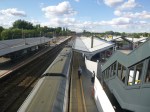
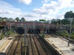


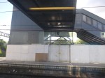
When the platforms and stairs have been finished, it’ll be one of the best medium-sized stations in the country.
Birmingham’s Four-Poster Station
When I put forward the concept of a Four Poster Station, I was kite flying and didn’t know one had already been built.
Smethwick Galton Bridge station has been built where the electrified New Street to Wolverhampton Line crosses the Snow Hill to Worcester Line. This is a Google Map of the station.
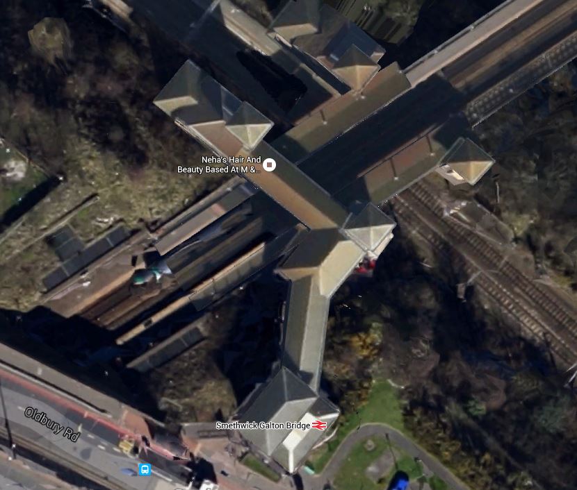
Smethwick Galton Bridge Station
Note the pyramids on top of each of the four lifts.
New Street is towards the South East, with Wolverhampton to the North West.
Worcester is to the South West with Snow Hill to the North East
I just had to go and see the station and took these pictures.
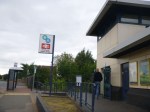


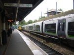
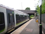
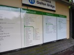

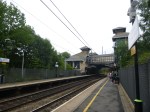
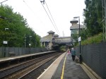
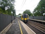
Considering it was opened in 1995, it was pretty radical for the time.
But it seemed to be working well, when I saw the station in the middle of the rush hour.
I do think, if they were building a station like this today, the various platforms and walkways would be made wider and if one was on the London Overground, they would leave spaces to put coffee stalls, passenger shelters and staff refuges. It probably illustrates how much more people friendly new stations are compared with twenty years ago.
I have a feeling that the design principles used here might be used at Brockley, Brixton and Penge.
But how many other places in the UK and perhaps the wider world could copy the basically simple design principles used here in Smethwick.
Could The Various Lines At Brixton Be Connected?
In their Transport Infrastructure Plan for 2050, Transport for London are proposing a Brixton High Level station.
As they have also proposed interchanges at also Brockley and Penge in the plan, I suspect they have found expertise and equipment to create multi-level stations, where lines cross, in an affordable manner.
The problem at Brixton is best explained in this Google Map.
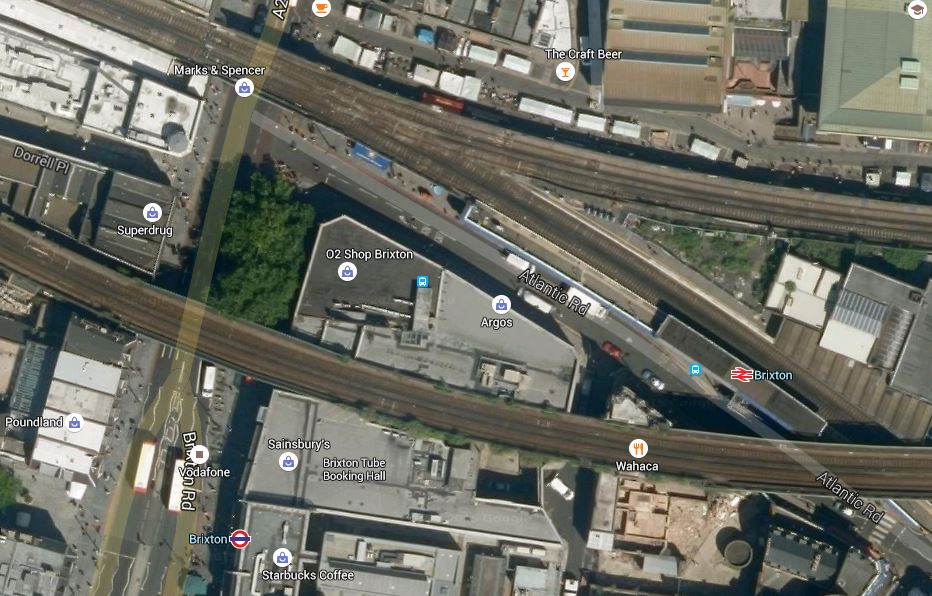
Brixston Station
The line across the middle of the map carries Overground services to and from the terminus at Clapham Junction, whereas the two merged lines go off roughly north-westerly towards Victoria. The southerly of the branches goes south towards Herne Hill, whilst the northernly branch going towards Loughborough Junction. This schematic from Wikipedia may explain it better.

Lines Through Brixton
The Overground, Thameslink and the Victoria Line are shown in orange, pink and blue respectively.
The only conclusion that is worth saying is that it’s all very complicated. The big advantage that they now have compared to a few years ago, is that much better 3D design software is available.
In TfL’s plan a rough estimate of £25million is given for each of these interchange stations. Some will cost less and some will cost more.
I think Brixton will not be one of the more affordable stations, although it could be one with a high return.
There are various options for connections at Brixton and TfL will probably limit the interchanges to the ones that are most used.
For instance, would there be much point in linking the Victoria Line to the services between Victoria and Orpington, as they both serve Victoria?
Also, as after this summer, the big constraint on frequency on the Victoria Line will be the reversing of trains at Brixton. Under Future Projects for the Victoria Line, Wikipedia says this.
For many years there have been proposals to extend the line one stop southwards from Brixton to Herne Hill. Herne Hill station would be on a large reversing loop with one platform. This would remove a critical capacity restriction by eliminating the need for trains to reverse at Brixton. The Mayor of London’s 2020 Vision, published in 2013, proposed extending the Victoria line “out beyond Brixton” by 2030.
I would suspect this will be done in the near future, as it both increases Victoria Line capacity and it gives an alternative link between the Victoria Line and services between Victoria and Orpington.
Brixton Underground station has recently been refurbished and is pretty-much step-free from the street.
So it would appear that substantial improvement at Brixton could be achieved by creating a High Level station linking the various lines together and perhaps using an iconic lift tower to the ground.
Brixton needs an iconic creation to go with the vibrancy of the area, that doesn’t destroy everything. This could be the High Level station. Having seen the way that the walkway was threaded through at Hackney, I think there are at least one set of engineers and architects up to the challenge.
Brixton doesn’t need a boring station, but one that is exciting, bold and supremely practical for passengers and staff.
Haggerston – A Simple Viaduct Station
Haggerston station is on the East London Line. It sits on top of the Kingsland Viaduct that used to take the line between Dalston Junction and Broad Street.
The platforms and the access are about as simple as you can get, but they are not of a low quality and standard.
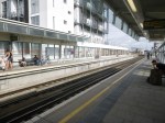

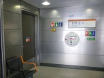
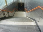
Hoxton station which is the next one south on the line is similar.
I must have gone through the old Hoxton and Haggerston stations several times, when in the 1980s, I took the East and North London Lines to get to Stonebridge Park, where Metier’s offices were situated.
I can remember slam-door trains smelling of urine, but that could have been from earlier times.

