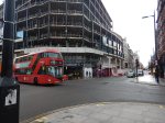
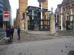
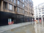
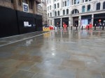
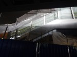
Tottenham Court Road Station – 15th February 2021
These pictures show the latest exterior views of Tottenham Court Road station.

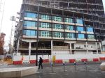
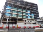
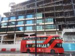
Note.
- The development on top of the station will be seven floors.
- There is a reflection of Centre Point in the glass.
It has now been handed over to Transport for London.
Thoughts On The Closure Of The Northern Line At Bank To Complete The Upgrade To Bank Station
The Bank Station Upgrade is a major project that will increase the capacity of Bank station by forty percent.
This document on the Transport for London web site gives details of the project.
It was originally planned that sometime in late 2021, the Northern Line will be closed through Bank station.
The document says this.
We will need to close part of the Northern line Bank branch in 2021, between Kennington and Moorgate, to connect new and existing sections of tunnel safely. Trains will run less frequently on those sections of the Bank branch that are still open. Check back here for details.
This would mean that Bank, London Bridge, Borough and Elephant & Castle stations will be closed on the Northern Line.
To help passengers, TfL say, they will do the following.
- Run 33% more trains on the Northern line Charing Cross branch
- Review bus use and consider enhancing services where necessary
- Investigate scope for passengers to use alternative National Rail services, such as Waterloo to London Bridge, and London Bridge to Cannon Street
- Review available walking space on the Moorgate to London Bridge pedestrian corridor.
These are my thoughts.
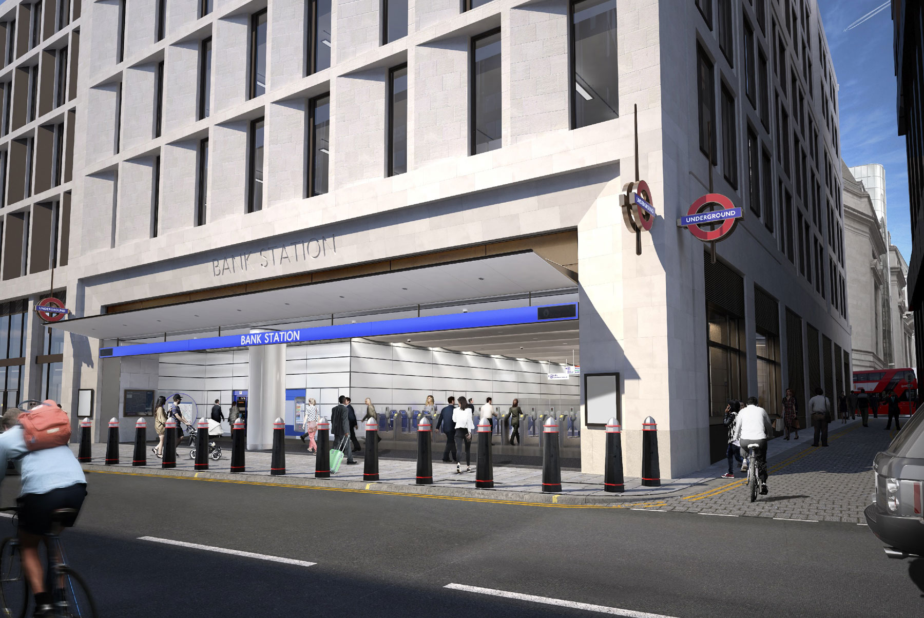
The New Cannon Street Entrance To Bank Station
This visualisation shows the new Cannon Street entrance to Bank station.
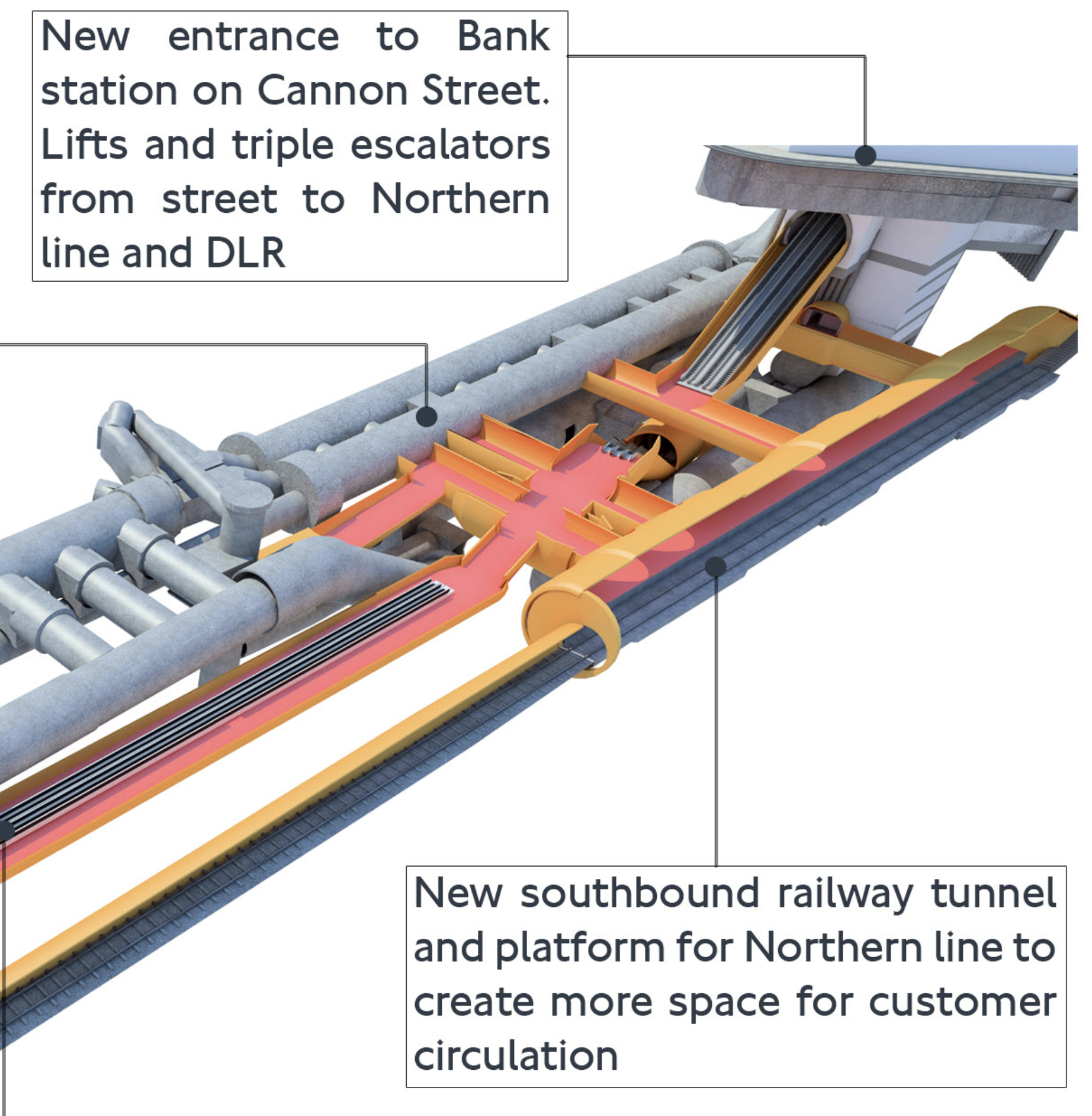
Note.
- South is to the right and we’re looking from roughly the North-West.
- The existing twin bores of the Northern Line on the far side of the visualisation.
- The escalator connection to the District and Circle Lines at Monument station Starts at the Southern end of these two narrow platforms.
- The new single bore of the new Southbound tunnel on the near side of the visualisation.
- The triple escalators descending from the new Cannon Street entrance to one of the four cross-walks between the Northern Line platforms.
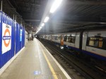
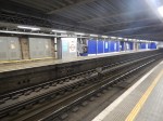
- The current Eastern ends of these cross-walks are shown in The Southbound Northern Line Platform At Bank Station.
But where is the Docklands Light Railway (DLR)?
This map from carto.metro.free.fr shows the lines at Bank station.
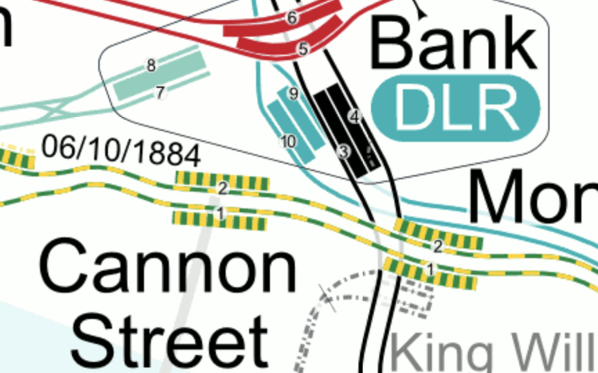
Note.
- The two existing Northern Line Platforms 3 and 4 are shown in black.
- The Central Line is shown in red.
- The DLR is shown in turquoise and sneaks under the Northern Line into Platforms 9 and 10.
- Platforms 7 and 8 are the platforms of the Waterloo and City Line.
- It would appear that the escalator connection between Bank and Monument stations goes between the existing tracks of the Northern Line.
So where is the Docklands Light Railway?
- As Platforms 3 and 9 appear to be close together with Platform 9, the deeper of the two, I suspect we can’t see the Docklands Light Railway in the visualisation, as it is hidden behind and underneath everything else.
- I also suspect that the triple escalators between the new Northern Line cross-walks descend in the space at the Southern ends of Platforms 9 and 10.
This is the Northern end of the visualisation I showed earlier
Note.
- North is to the left.
- The two tracks and the narrow island platform of the current Northern Line on the far side of the visualisation.
- The two staircases leading up from Northern Line to a lobby, where passengers can walk North to the Central Line.
- The double escalator barrel going down to the DLR.
- The travelator that will connect the Northern and Central Lines
- The three cross passages linking the DLR escalators to the lobby between the Central and Northern Lines.
- The most Southerly of these cross passages has a lift to the DLR.
The new Southbound platform of the Northern Line, would appear to be to the West of the Docklands Light Railway.
It appears to be a very tight fit.
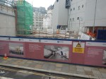
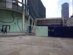
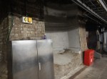
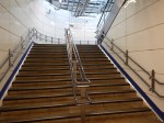
These pictures show the current status of the new entrance.

There would appear to be still a lot to be done.
This TfL image shows how it will look in 2022.
Ducking And Diving
No-one ducks and dives like Londoners. So rest assured, that if someone needs to get from A to B and the obvious route is blocked, Londoners will always get through. And if all else fails, a black cab will find a way, usually driven by a Londoner or someone infected with the ducking and diving virus.
Crossrail
As ever Crossrail is the herd of elephants in the London railway system.
The Northern Line is possibly the most important North-South route across Central London with two branches through the centre; Bank and Charing Cross.
But Crossrail connects to these North-South routes.
- Lea Valley Lines at Stratford
- East London Line at Whitechapel
- Lea Valley and West Anglia Lines at Stratford
- Northern Line Bank Branch at Moorgate/Liverpool Street
- Northern and City Line at Moorgate/Liverpool Street
- Thameslink at Farringdon
- Northern Line Charing Cross Branch at Tottenham Court Road
- Jubilee Line at Bond Street
- Bakerloo Line at Paddington
Crossrail will give a lot of opportunities for ducking and diving.
Under original plans Crossrail was supposed to open in 2019, with the Bank station closure for the upgrade in 2021.
This phasing certainly seemed a good idea at the time.
- Crossrail will be able to offer alternative routes during the closure.
- If the Crossrail stations are substantially complete, they can release workers to finish Bank station.
I wonder, if it would be sensible to not upgrade the tracks through Bank station until Crossrail opens through Moorgate/Liverpool Street.
As I wrote in Your First Crossrail Service May Arrive In Time For Christmas, Crossrail could open this year.
So are we being prepared for the mother of all cunning plans?
- Crossrail between Paddington and Abbey Wood opens before Christmas.
- The closure of the Bank branch to allow the Bank station upgrade happens at a convenient time after the opening of Crossrail through Moorgate/Liverpool Street.
- Moorgate continues to have a limited Northern Line service to the North.
- Crossrail continues work on the other branches.
Note.
- There is a crossover to the North of Moorgate station, which might allow Moorgate to work as a two-platform terminal station handling up to 4 or 6 trains per hour (tph).
- If Crossrail is running at Moorgate, the station should be step-free to and from the deep-level platforms.
- Transport for London are looking at walking routes on the Moorgate and London Bridge route.
- During the closure of the Northern Line through Bank, passengers for the City will go to Moorgate and walk or perhaps take a bus.
It is my view, that Crossrail must be open, before the Northern Line through Bank station is closed to allow work to be completed.
A Demonstration of the Northern Line Capacity At Moorgate When Working As A Terminal Station
Yesterday, which was a Sunday, the Northern Line was closed between Moorgate and London Bridge stations.
- After a walk, I returned home from Moorgate station via Angel station, where I got a 38 bus.
- I was surprised to find that trains on the Northern Line were leaving Moorgate station for the North every four to five minutes.
This would seem to indicate that frequencies of between 12 and 15 tph are possible.
Current frequencies through Bank station are 24 tph in the Peak and 20 tph in the Off Peak, so it will be a substantial reduction. But it is better, than my original estimate earlier in this section.
33% More Trains on the Northern Line Charing Cross Branch
Currently, the Charing Cross branch has a capacity of twenty-four tph and handles the following services in the Peak.
- 10 tph between Edgware and Kennington
- 2 tph between Edgware and Morden
- 10 tph between High Barnet and Kennington
- 2 tph between High Barnet and Morden
And these services in the Off Peak.
- 10 tph between Edgware and Kennington
- 10 tph between High Barnet and Kennington
Note.
- Extra trains go between the two Northern branches and Morden via the Bank branch.
- Kennington and Morden can handle 28 tph and regularly does.
- The loop at Kennington turns twenty trains per hour in both the Peak and the Off Peak
If there is an increase of 33 % in the number of trains, this must mean that 32 tph will run through Charing Cross in the Peak and 28 tph in the Off Peak.
- The signalling system on the Northern Line is the same as that on the Jubilee Line, where it handles 30 tph.
- It also can handle up to 30 tph between Kennington and Morden on the Northern Line.
- Perhaps it can be stretched to 32 tph through Charing Cross in the Peak.
If the Charing Cross branch can only be uprated to 30 tph, that is still an increase of 25 % in the number of trains.
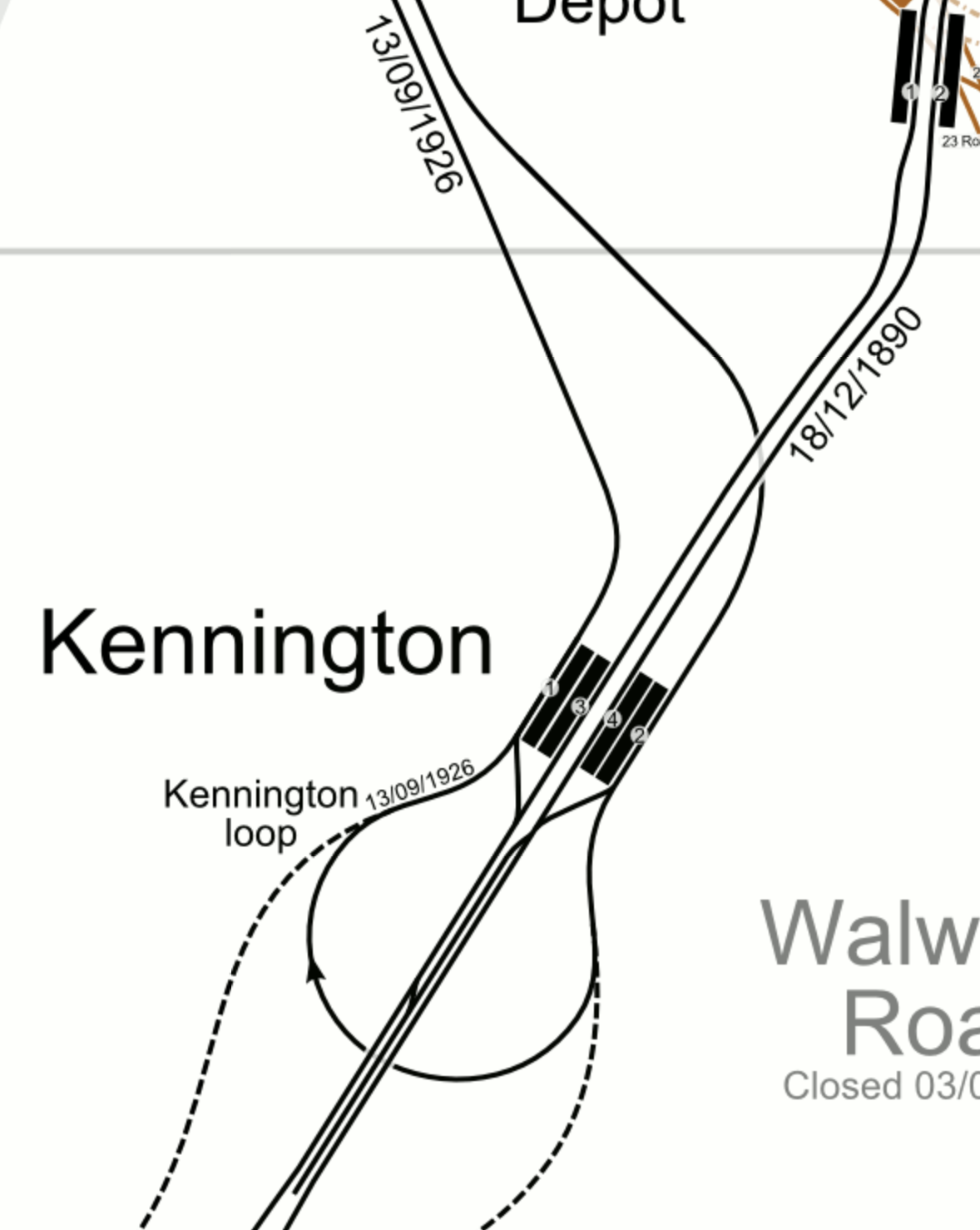
The Kennington Loop
I mentioned the Kennington Loop and this beautiful old drawing shows its layout.
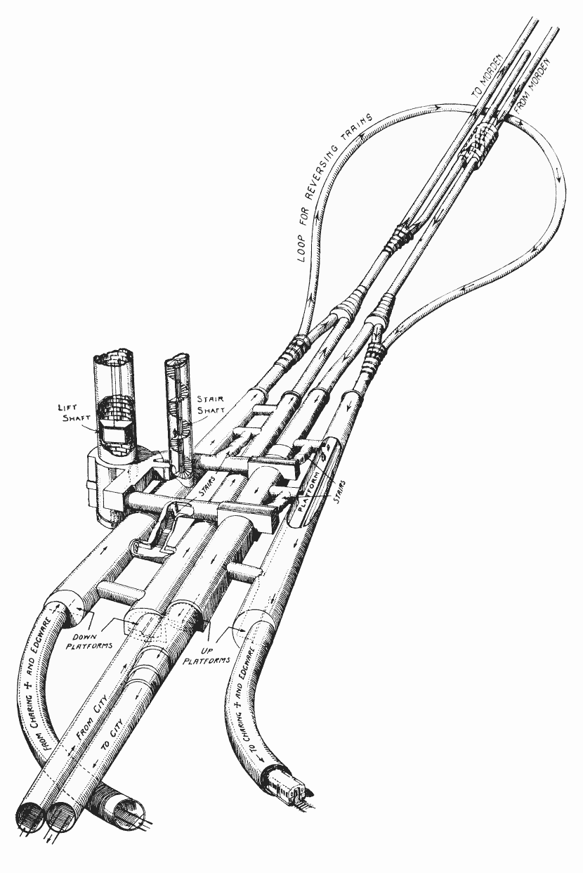
Note.
- South is at the top of the drawing.
- At present, as I said, the loop turns twenty tph all day.
- The extension to Battersea connects to the loop.
This map from carto.metro.free.fr shows a map of the loop.
Note.
- The Charing Cross branch goes to the North-West from Kennington.
- The Bank branch goes to the North-East from Kennington.
- ,The lines to Battersea are shown dotted.
- Trains using the extension to Battersea can only use the Charing Cross branch.
I don’t know, but I wouldn’t be surprised, if the line speed to and from Battersea, is faster than it is round the loop.
It’s just that the lines to Battersea are not such a sharp curve and they have been recently designed and built.
As the Modern branch can handle 30 tph, I wouldn’t be surprised to find that the Battersea extension has been designed to handle this frequency.
The Northern Line Extension To Battersea
This document on the Transport for London web site gives details of the Northern Line Extension To Battersea.
This paragraph introduces the project.
The Northern line extension (NLE) between Kennington and Battersea will help regenerate the Vauxhall, Nine Elms and Battersea areas by supporting new jobs and homes. The extension is scheduled to be completed in autumn 2021.
The opening of the extension could offer benefits to the existing Northern Line.
As I said in the previous section, twenty tph are turned at Kennington using the loop.
Will all these trains now use the new Battersea extension, when it opens?
- The Battersea extension is fully double-track.
- Battersea Power Station station has two platforms and a cross-over, so if Brixton and Walthamstow Central stations can handle in excess of 30 tph, I suspect London’s newest terminal station can too!
If the Battersea extension has a design capacity of 30 tph, it would certainly be able to handle 20 tph.
So I wouldn’t be surprised to see all trains that currently turn at Kennington will take the Battersea extension, when it opens.
There must surely be the interesting possibility of before the Battersea extension opens to passengers, using it to turn the trains that would otherwise use the loop at Kennington. It would certainly be a very thorough test, of track and signalling.
I am fairly certain, there would be advantages in having the Battersea extension open before the Bank branch is upgraded.
- Running trains to Battersea could be more efficient than using the Kennington Loop.
- Opening the Battersea extension would need the signalling at Kennington to be upgraded and fully tested, so any changes needed for increased frequencies on the Charing Cross branch could be performed at the same time.
- All the residents of the new housing in Battersea. would have an Underground connection.
Opening the Battersea extension will change passenger patterns on the Northern Line and as the changes will be difficult to predict, it would surely be better to upgrade Bank station, after the opening of the Battersea extension.
Thameslink
Thameslink is not mentioned in any of the Transport for London documents, but surely it has a big part to play.
- Thameslink serves a lot of stations in South and South East London and beyond, including Brighton, East Croydon, Orpington, Sevenoaks and Woolwich Arsenal.
- Thameslink has an interchange with the Circle and District Lines at Blackfriars.
- Thameslink has an interchange with the Metropolitan and Circle Lines at Farringdon.
- Thameslink will have an interchange with Crossrail at Farringdon.
- Blackfriars and City Thameslink stations have good walking routes along the River and to the City.
Thameslink should be appearing on the Tube Map any time soon.
Waterloo And City Line
I am missing the Drain, as it is the easiest way for people in the area, where I live to get to Waterloo station.
I just take a bus to Bank and then walk underground to London’s shortest Underground line.
According to this article on London SE1, it is closed because of the covids, but should reopen in April 2021.
Surely, Transport for London could reopen the line, if they vaccinated all the drivers.
As the Waterloo and City Line has an independent new entrance on Wallbrook, there should be no reason, why it couldn’t reopen before the Northern Line through bank is upgraded.
The Central Line At Bank Station
Nothing has been said, about whether the Central Line will be closed through Bank station, during the upgrade.
I don’t think it will be continuously closed, although access to some parts may be restricted.
There could be partial closures at weekends or in the evenings.
So for commuters and other must-travellers, I suspect the Central Line will get through.
The Circle And District Lines At Monument Station
My thoughts about the Circle and District Line would be similar to the Central Line.
But these lines with their connections at Westminster, Blackfriars, Cannon Street, Tower Hill and Whitechapel could prove important during the works.
The Docklands Light Railway At Bank Station
Again my thoughts about the Docklands Light Railway would be similar to the Central Line.
But there is a lot of work going on to improve access to the Docklands Light Railway, and this could result in a closure to allow completion.
Review Bus Use
When I come into London Bridge station, I usually go to the bus station and get a bus, which stops within fifty metres of my front door. Going to London Bridge isn’t as convenient and I take a variety of routes.
But the corridor between London Bridge and Old Street via Bank and Moorgate has three bus routes; 21, 43 and 141, the last two of which terminate in the bus station at London Bridge. I suspect that the frequency of the last two buses could be increased, if they had a few more buses and drivers, and turned them faster at London Bridge.
I also feel there is scope to run a shuttle between Finsbury Square and London Bridge station.
- It would loop round Finsbury Square at the Northern end.
- It would loop through London Bridge station, as the 43 and 141 buses currently do.
- They would serve Moorgate and Bank.
- As it will be running through a busy part of the City with lots of pedestrians, these buses should be either battery or hydrogen.
- But as they should be high-capacity double-deckers, battery probably wouldn’t have enough power.
What better way would there be, to showcase London’s new hydrogen buses?
And I’m sure Jo Bamford, would make sure that London had enough new Wrightbus hydrogen buses to provide the service.
National Rail Between Charing Cross/Waterloo And London Bridge
I am probably not alone in using this route in preference to the Jubilee Line to travel between Westminster and London Bridge, as where there is an alternative to the deep-level Underground, I will often use it.
In my case coming home from Waterloo, I’ll often hop to London Bridge on National Rail and then get a 141 bus home.
This is classic ducking and diving on my part.
I’m sure others will do the same during the Bank branch closure.
I would also hope, that season tickets would allow passengers to swap terminals without too much trouble and any expense.
National Rail Between Cannon Street And London Bridge
Using Cannon Street instead of London Bridge could be an relatively easy alternative for many passengers.
- It connects to the Circle and District Lines.
- There are East-West buses outside the station.
This Google Map shows the location of the station.
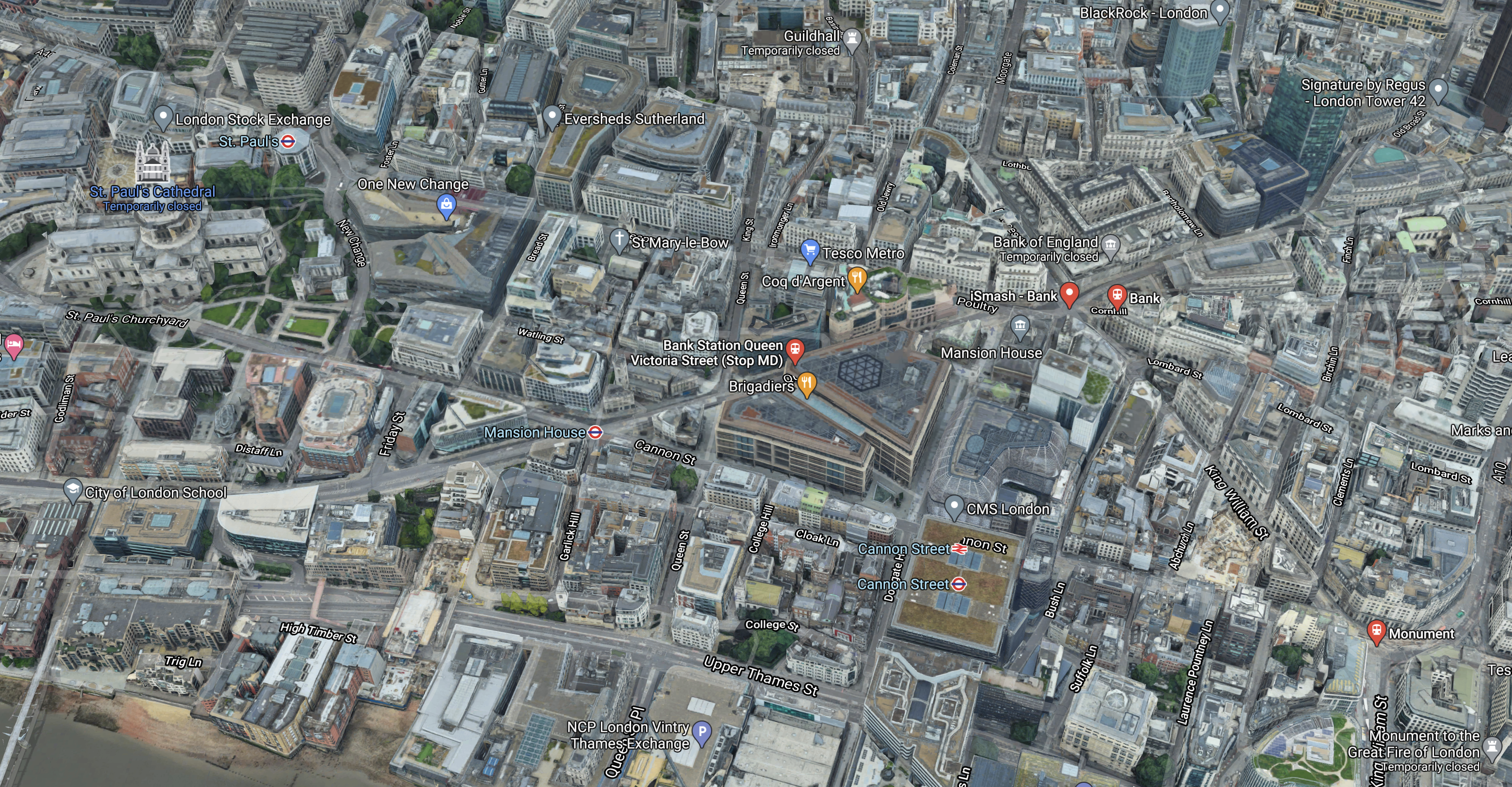
There are a number of useful walking routes from the station, which is towards the bottom of the image slightly towards the right.
- Bank station is about 300 metres and six minutes away.
- The North-South buses between Moorgate and London Bridge on King William Street are 200 metres and three minutes away.
- St. Paul’s is a bit further but it does have the Central Line and lots of buses including the 76 to Moorgate and Old Street stations.
At seventy-three, I can still walk between Cannon Street and Moorgate stations in 15 minutes.
Walking Between London Bridge and Moorgate
Transport for London have said they will review this.
It is not a difficult walk and it has improved since traffic was reduced at Bank.
Conclusion
As originally planned, the timings of the various projects were such that these projects would be more of less completed before the upgrade of the tracks at Bank station was to be performed.
- Crossrail
- The Northern Line Extension to Battersea.
- The new Wallbrook entrance to Bank station.
But no-one had foreseen Covid-19.
So I would plan the date of the Northern Line closure with the utmost care.
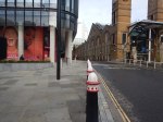
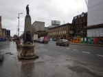
From Silicon Roundabout To Bank – 4th February 2021
I was on top of a 21 bus, as I took these series of pictures.
Silicon Roundabout


Note.
- My bus Crossed from North to South down the East side of the roundabout.
- Work is now concentrating on creating the new road and pedestrian layout in the North-West corner of the roundabout.
- There will be a lift for passengers in this corner.
This map from Transport for London shows the future layout.
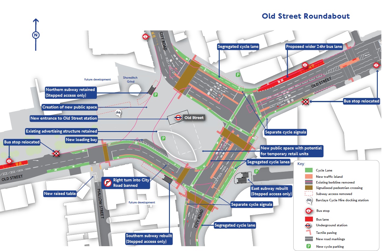
Note the Shoreditch Grind coffee house on the map.
20 Ropemaker Street

This will be a twenty-seven storey tower.
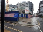
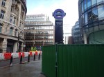
Moorgate Station
The road was blocked off yesterday, when I went earlier to Marks and Spencer. It still was when I took these pictures.


This screen-capture from a Crossrail video shows a possible future Moorgate.
Note the new buildings at 101 Moorgate and the current Moorgate station.There appears to be a gap, so will the station entrance be set back behind a small pedestrian area?
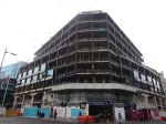
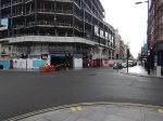
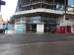
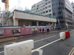
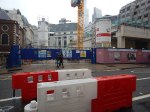
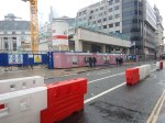
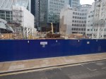
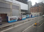
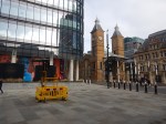
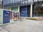
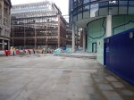
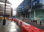
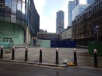
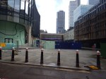
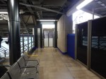
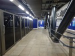
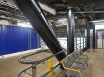
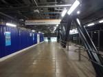
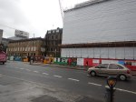
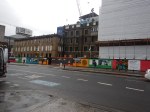
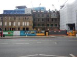
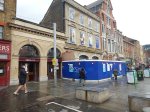
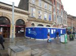
From Moorgate To Bank


The last two pictures show the works at Bank station.
Is Liverpool Street Getting Ready For Crossrail?
I took these pictures in front of Liverpool Street station, this morning.


It does look that in a week or so, the area in front of the station will be ready for people to use the glass entrance to the new station.
- The whole area in front of the station and the next door building; 100 Liverpool Street has been converted into a new traffic-free square.
- The only vehicles are the taxis to the East in front of the old station and the buses using the bus station between the station and 100 Liverpool Street.
- 100 Liverpool Street will have a roof-top restaurant.
- I do like the City of London’s stylish red and black bollards.
- The station sign is in front of the station.
Obviously, we don’t know the completion state of the massive below-ground station, that reaches all the way to Moorgate.
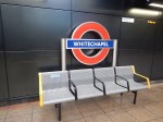
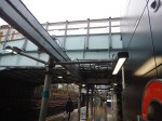
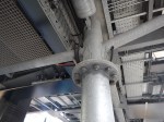
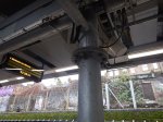
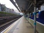
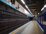
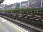
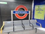
Is Whitechapel Station Emerging From Its Shell?
I took these pictures this morning at Whitechapel station, this morning.
I have broken them into sections.
The Overground Platforms


There is work to do, but they are certainly useable and safe for passengers.
Overground To Sub-Surface Lines


What an elegant way to hide the structure, that holds everything up!
Whitechapel Road


My granddaughter was born in the old Royal London Hospital.
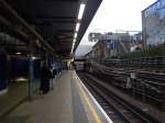
Sub-Surface Platforms
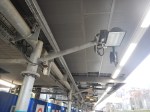
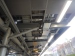

The detail of the lights and the various platform fittings looks good.
Whitechapel Station In 3D
This Google Map shows a 3D image of the station.
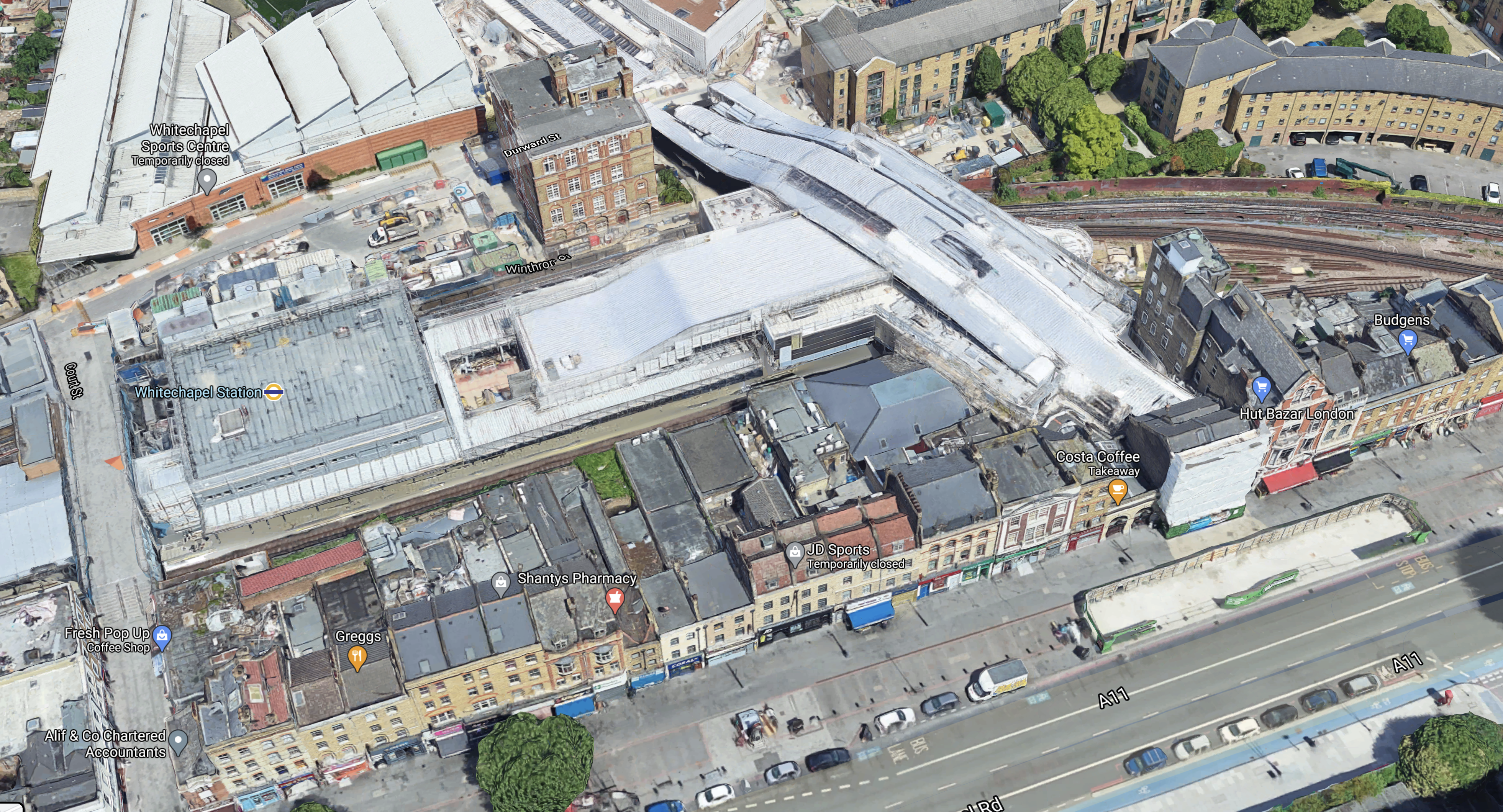
It’s one of those sites, where you’d choose somewhere else.
Crossrail’s Progress Video From February 2020
Conclusion
The builders seem to be getting towards the final stages.
As they have a lot of testing to do, I suspect the earliest day for trains to be running through with passengers, would be sometime in November 2021,
Your First Crossrail Service May Arrive In Time For Christmas
The title of this post, is the same as that of this article in today’s Sunday Times.
I have thought this might happen for a few months.
I wrote project management software for nearly forty years. If you ever used Artemis, that was the system, I wrote in a Suffolk attic.
Artemis helped provide the UK with North Sea oil and gas, by calculating and scheduling the labour requirements.
One problem was that there was so many projects, that there was a severe labour shortage. As a friend, who supported our systems in Aberdeen, told me, you couldn’t get some tradesmen for love or money, as they had all retrained to go offshore.
Shortage of workers is often the reason for projects being late and Crossrail is no exception.
Walk through the City and West End of London along the route of the line and you’ll see endless new office, retail and residential developments around all the stations.
These Central London developments are often luxurious and funded by Sovereign Wealth or similar funds, all of whom have bottomless pockets.
If they need more workers, they just raise wages and they have been stealing them from Crossrail. Consequently Crossrail has had to pay more and has been hemorrhaging cash and getting later.
Many of these buildings are now complete and the workers can be hired by Crossrail to speed up the finishing of the line.
Unless of course, the Mayor and the Councils allow more new buildings to be constructed.
But there is a beneficial effect of the Covids working in favour of Crossrail. It has probably badly damaged forecasts for a new development, that they are being delayed for a few years.
So Crossrail can move towards a finish, which will start to generate revenue for Transport for London.
This page on the Crossrail web site is the Crossrail Project Update for December 2020, which was published on the 14th January 14th 2021.
This video shows Mark Wild, the Chief Executive Officer of Crossrail giving the latest update.
This text accompanies the video.
Delivery of the Elizabeth line is now in its complex final stages and is being completed at a time of great uncertainty due to the risks and potential impacts of further Covid outbreaks. Our focus is on meeting the immediate challenges posed by COVID-19.
We are planning to start intensive operational testing, known as Trial Running, at the earliest opportunity in 2021. It involves multiple trains operating in the central operating section to test the timetable and build reliability, while the final works to the stations are completed. It will take a period of time to fully test the Elizabeth line before it can open for passenger service. This includes a final phase known as Trial Operations involving people being invited onto trains and stations to test real-time service scenarios to ensure the readiness of the railway.
Following the opening of the central section, full services across the Elizabeth line from Reading and Heathrow in the west to Abbey Wood and Shenfield in the east will be introduced. The introduction of full services will be aligned with the National Rail timetable change which occurs twice a year in May and December.
According to this article on Ian Visits, which is entitled An Update On The Crossrail Project Progress. Crossrail is in Systems Integration Dynamic Testing (SIDT), which is described by Ian like this.
The pre-Trial Running tests, Systems Integration Dynamic Testing (SIDT) started early last December and allowed them to increase the number of trains running through the tunnels from four to eight. That meant running trains with 5-minute gaps, close to how the service will open with its initial 12 trains per hour each way.
Crossrail have produced a video, which describes the train testing.
SIDT restarted after Christmas on the 13th January and once complete, I assume Trial Running will start at the earliest opportunity.
Further sections of the Crossrail Project Update describe Trial Running, Covid-19.
There is also this video of Farringdon station.
When Will Crossrail Open?
Predicting this is difficult, but this article on Building, which is entitled Crossrail Trial Running Set To Start By March.
These points are from the article.
- Mark Wild said that trial running will start before the end of March.
- From the start of trial running to opening will be between six and nine months,
- It looks like Crossrail will open in the last quarter of 2021.
As it would be nice to open by Christmas to give shopping centres and hospitality a lift, I think that it will open in September or October 2021.
Could Crossrail Open Earlier, If A Shorter Service Were Run?
Some people have said, that Crossrail might be able to open earlier, if it ran initially between say Farringdon and Abbey Wood.
This paragraph from the Crossrail Project Update for December 2020, could be decisive.
All central section stations including Bond Street are certified to support Trial Running. Four of the central section stations have had all of their assets assured and certified as ready for use, the last stage for stations in the Trial Running pathway. The remaining central section stations are scheduled to achieve this by the end of the month.
Does this mean that trial running will start by the end of March and serve all central stations?
Bond Street station certainly seems to have caught up with the others and there is no longer any suggestion it could open a year later.
Consultation Opens On Extending The Elizabeth Line Into Kent
The title of this post, is the same as that of this article on Ian Visits.
This is the introduction to Ian’s post.
A consultation has opened on proposals for improving public transport services connecting Ebbsfleet, Dartford, Slade Green, Erith and Belvedere with Abbey Wood.
The consultation is being run by the C2E Partnership, which was formed in 2016 to promote extending the Elizabeth line into Kent, although the new consultation does look at alternatives to the Lizzie line as well.
The early plans for Crossrail included running the line out towards Gravesend, but this was cut back in the 1990s, and in 2008 when Crossrail got approval, it was difficult to support the extended line. However, some passive provision was included in the station design at Abbey Wood to permit an extension to be added on later.
There are five options being looked at by the C2E Partnership.
Three of them are extensions of the Elizabeth line, one is improved services from Kent to Abbey Wood, and the final is a Rapid Bus Transit service.
There are maps of the various options.
At the moment, I doubt there is much that will happen, with low levels of commuting due to the pandemic and a near-bankrupt Transport for London.
Whitechapel Station – 29th December 2020
I took these pictures as I passed through Whitechapel station.


Note.
- The platforms for the Metropolitan and District Lines seem to be almost complete.
- New lighting and seating has been installed.
The stairs down to the platforms from the street, can be seen behind one of the hoardings.
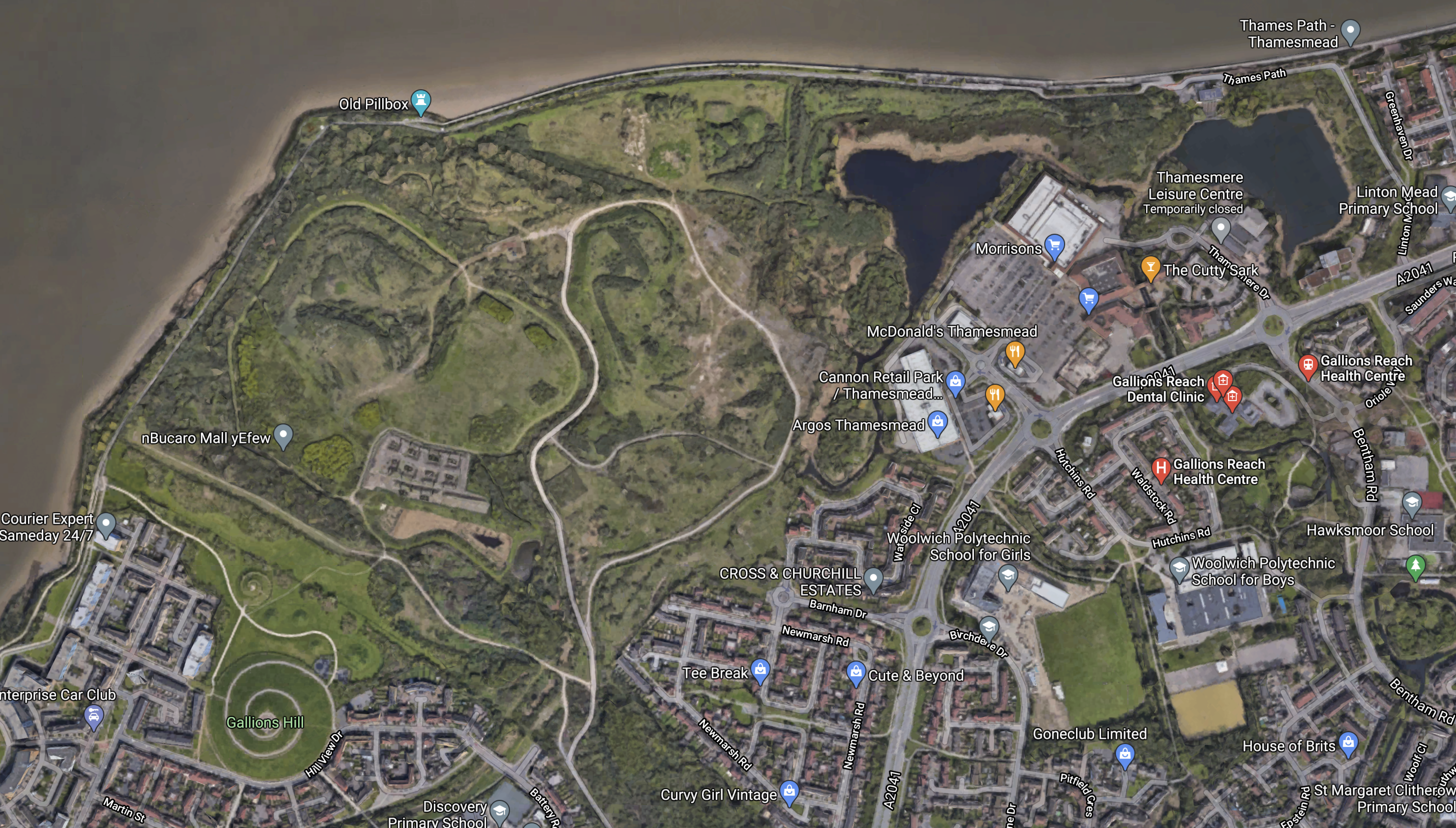
DLR Extension To Thamesmead Gets Preliminary Funding
The title of this post, is the same as that of this article on IanVisits.
This is the opening paragraphs.
TfL has secured funding to carry out more work on plans to extend the DLR from Beckton to Thamesmead.
The current proposals are for a new station be built in Beckton, with a bridge over (or tunnel under) the Thames to a new station in Thamesmead. Both sites are subject to lots of new housing being built, or planned, and the DLR extension was included in TfL’s latest financial plans.
Ian also gives this map.

This Google Map shows the area, where the extension will be built.
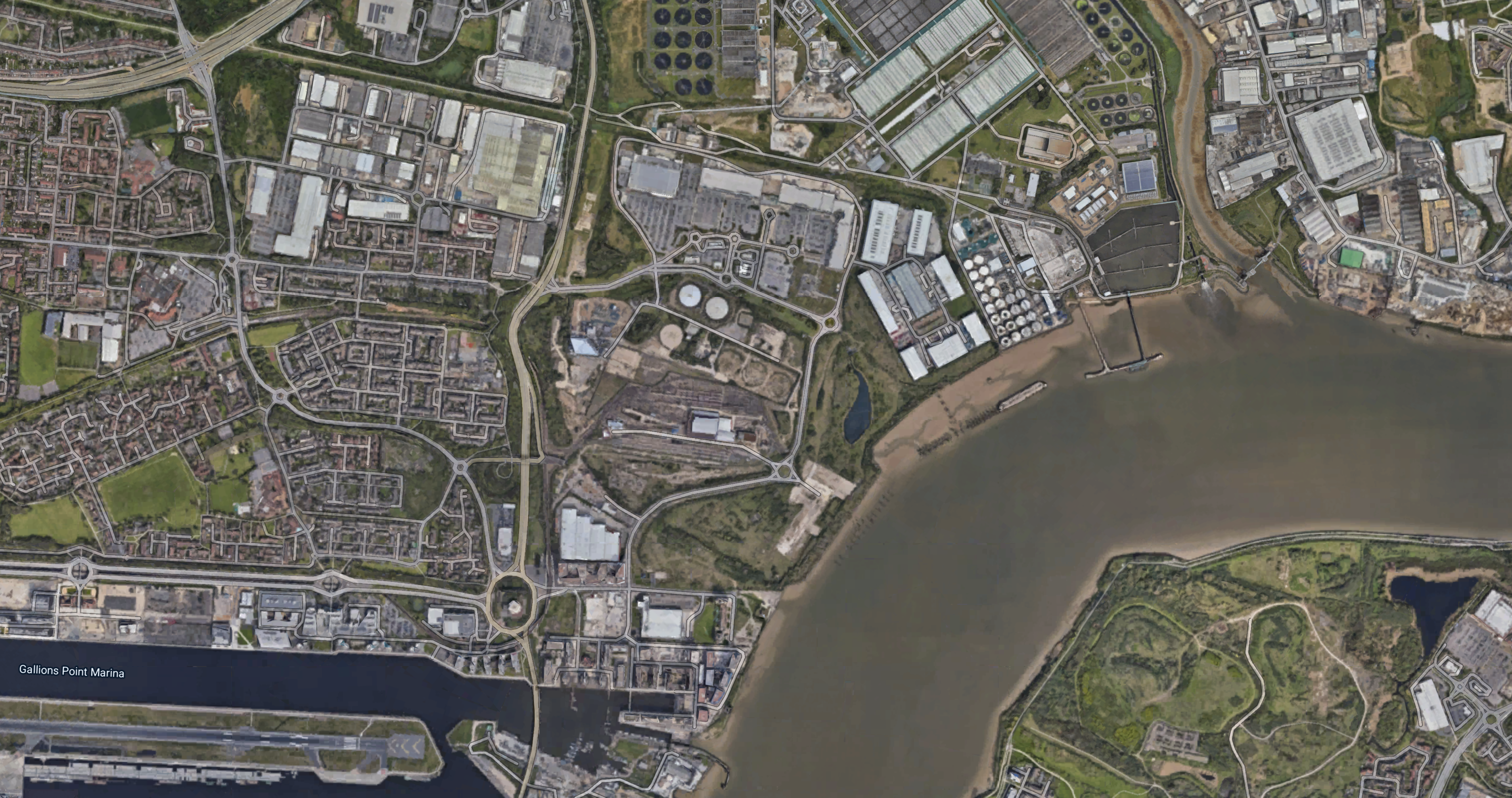 Note.
Note.
- The Eastern end of the runway at London City Airport in the South-Western corner of the map.
- The proposed location of Thamesmead station is by the roundabout in the South-Eastern corner of the map.
I estimate that the River Thames is around 500-600 metres wide at this point.
North Of The Thames
This Google Map shows more detail around the ring road of Armada Way on the North side of the Thames.
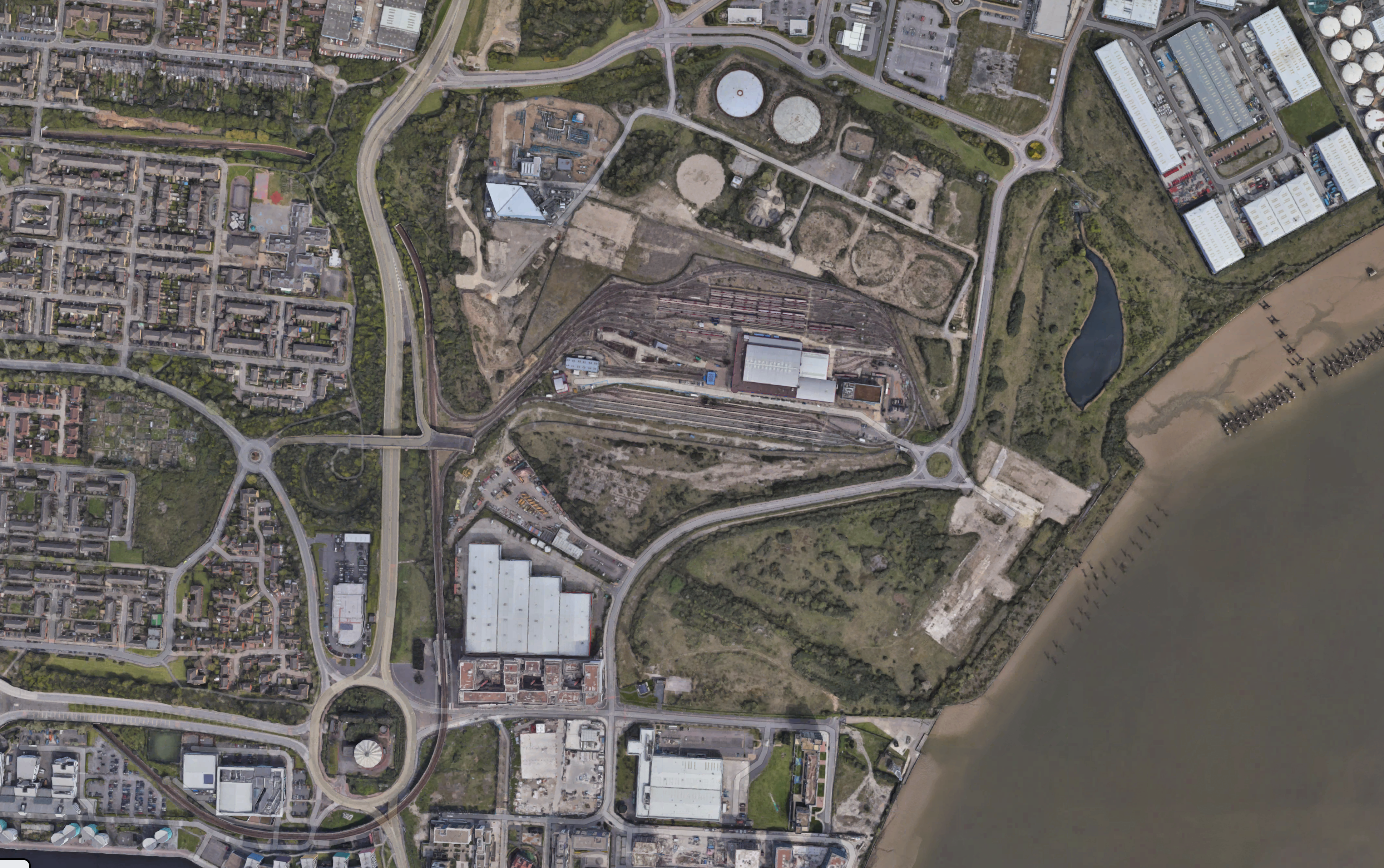
Note.
- The ring road of Armada Way in the centre of the map.
- Beckton Depot of the DLR takes up the Southern part of the land enclosed by Armada Way.
- The Northern part of the enclosed land is what is left of Beckton Gas Works.
- Gallions Reach station by Gallions roundabout, aligned North-South along the road.
- Note how the DLR goes under the road to read Beckton station in the North West corner of the map.
- To the North of the Armada Way ring, there is Gallions Reach Retail Park.
- Surrounding everything to North and East is the massive Becton Sewage Treatment Works.
I am not sure how the extension will connect to the existing Beckton branch of the DLR, but it does look that it could sneak around the inside of Armada Way and strike out directly across the Thames, from a junction to the North of Gallions Reach station.
This Google Map shows Gallions Roundabout and Gallions Reach station.
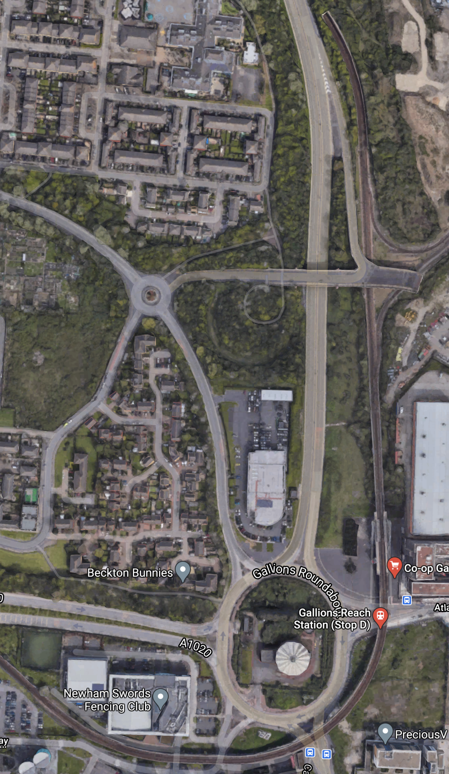
The connection to Beckton Depot to the North of the station can be picked out. It appears trains can enter and leave the depot in both directions.
This further Google Map shows Armada Way as it goes across the Northern side of the Beckton Gas Works site and along the Southern side of Gallions Reach Retain Park.
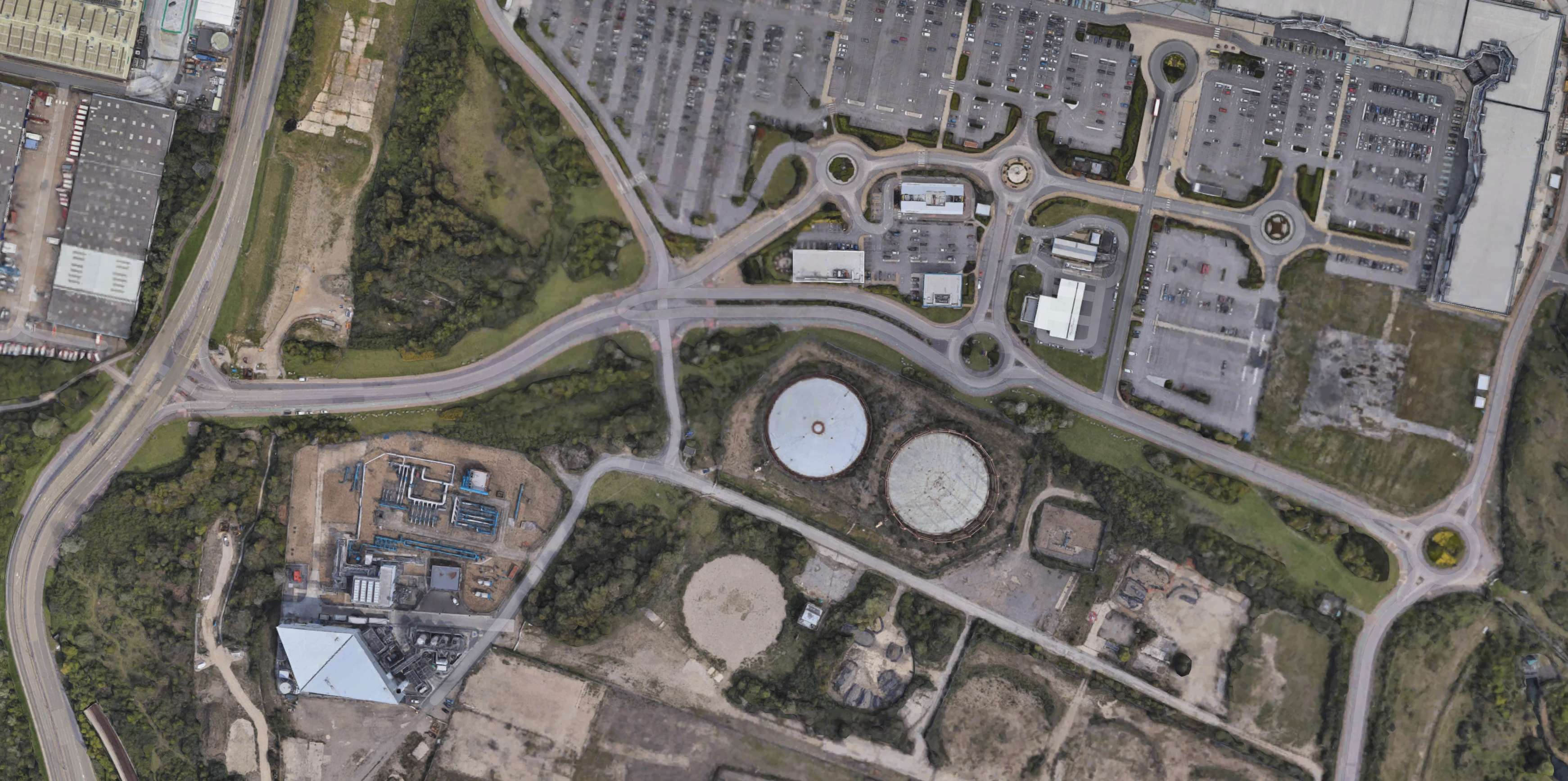
Note.
- The current route to Beckton station can be seen entering a short tunnel to go under the road.
- Could the route go inside Armada Way?
A station appears to be planned in this area called Beckton Riverside.
South Of The Thames
This Google Map shows the area which will be served by the extension South of the river.
Note.
- From the first map in this post it would appear that the route from the North makes landfall just to the East of the blue dot on South bank of the River.
- Thamesmead station would appear to be by the middle of the three roundabouts shown on the road crossing the map.
Much of the land between, the current buildings and the river could be developed.
Bridge Or Tunnel?
The major piece of construction will be the bridge or tunnel to connect the two halves of the extension.
Consider.
- The frequency of the extension could be fifteen trains per hour (tph)
- A bridge may stop large ships like HMS Ocean and MS Deutschland coming upriver to Greenwich or the Pool of London.
- London has tried to develop a cruise ship terminal at Enderby’s Wharf near Greenwich.
- Bringing cruise ships into London creates employment.
- The Docklands Light Railway already has two tunnels under the river.
- A tunnel would probably be less than a kilometre.
For these reasons, I think, a tunnel will be the more likely option.
Although, I always like railway bridges across a river, as they can become tourist attractions.
A Few Thoughts
These are a few thoughts.
A Frequency Of 15 tph
In his article, Ian says this about the frequency.
If the DLR extension is built, then it’s provisionally expected to be able to offer 15 trains per hour – roughly one every four minutes.
Currently, the frequency between Tower Gateway and Beckton is only 7.5 tph in the Peak and six tph in the Off-Peak.
- If the Beckton service were to be extended to Thamesmead, to run a frequency of 15 tph, would still need more trains for the service.
- But where would the extra trains terminate in the West?
- Could this be handled with the new trains and better signalling?
I’m not sure, but it seems that the Docklands Light Railway is being setup with another 15 tph capacity in the East.
Could it be that the Thamesmead extension will be run back-to back with another extension in the West.
In A Connection Between City Thameslink Station And The Docklands Light Railway, I described a possible Westward extension of the Docklands Light Railway to Euston, St. Pancras and Victoria stations.
This map shows the route.
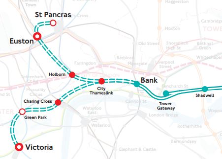
Note.
- Could St. Pancras and Victoria both take half of the 15 tph from Thamesmead?
- Bank currently , turns 22.5 tph in the Peak and 18 in the Off Peak.
- The new trains may be able to work with shorter headways.
- Currently, Euston, St. Pancras and Victoria have no direct connection to Canary Wharf.
I think the DLR could end up with a Peak service something like this service.
- 7.5 tph – St. Pancras and Lewisham via Canary Wharf
- 7.5 tph – St. Pancras and Woolwich Arsenal
- 7.5 tph – Victoria and Lewisham via Canary Wharf
- 7.5 tph – Victoria and Thamesmead
Except at Custom House and with a walk at Canary Walk, the connection to Crossrail is poor.
Conclusion
The extension of the Docklands Light Railway to Thamesmead, looks to be a sensible project to serve much-needed housing at Beckton and Thamesmead.
But I feel it needs to be built alongside a Western Extension of the Docklands Light Railway to Charing Cross, Euston, St. Pancras and Victoria.
- This would enable a train frequency of at least 7.5 tph to Thamesmead.
- Or 15 tph if the existing Tower Gateway service were to be extended from Becton to Thamesmead.
- This extension would also provide a direct link between Euston, Kings Cross and St. Pancras stations and Canary Wharf and perhaps take some pressure from the Bank branch of the Northern Line.
But the extension’s primary function would be to balance the Docklands Light Railway and allow capacity through Bank to the East to be increased.
It could be an affordable fill-in, while we wait for better times, in which to build Crossrail 2.
Ilford Station – 18th November 2020
I took these pictures at Ilford station this morning.

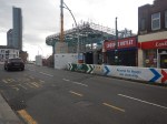

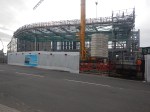
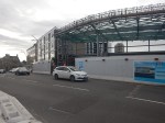


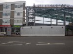
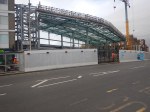


Note.
- The steelwork for the station building has now been erected.
- The new side entrance to the station is operational, but not fully complete.
- There were also guys working on stylish new shelters and possible retail units in the station.
Ilford station is being seriously transformed, as this visualisation of the new station building shows.
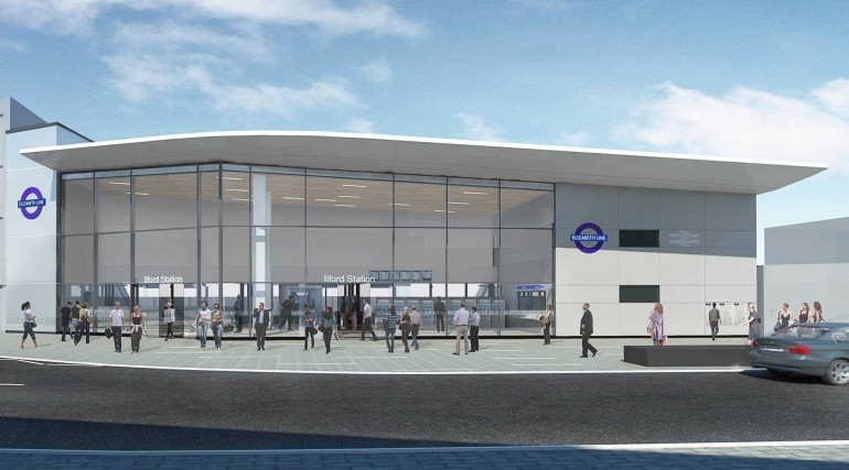
The people in the visualisation are rather badly-drawn
