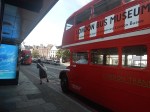
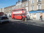
An Alternative Lift At Caledonian Road and Barnsbury Station
I went to look at something this morning, that might have made a post for this blog.
But as it wasn’t worth photographing, I decided to come home and decided to take a train home from Caledonian Road and Barnsbury station.
The station is of a slightly unusual design, which is described in Is Caledonian Road And Barnsbury An Ideal Four-Track Station?.
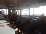
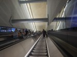
There is a wide island platform, where the Overground trains call on either side, which is connected to the station exit, by a half-bridge with lifts.


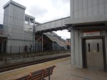
It was an affordable way to make the station accessible for all.
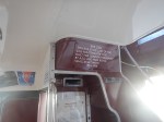
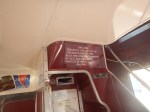
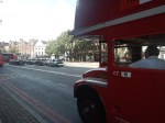
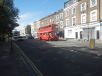
But today the lift on the island platform had failed.
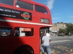
- As I approached the bridge on entering the station, a London Overground station-man was waving at me from the island platform.
- He shouted at me, that the lift on the island platform had failed.
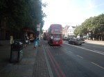
- So I took the working lift and then walked across to the central lift tower, with its failed lift.
- He met me at the top of the stairs and offered to escort me down.
- But I said, that if I could go down the right hand side, with my good arm on the rail, I’d be OK.
- He said that would be fine and he watched me descend, which I did safely.
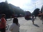
- Whilst I was there, two mothers with young children in buggies arrived on a train. So after a quick chat, the mothers carried their children up the stairs and he carried the buggies.
London Overground had certainly setup an alternative approach, that should work well until the lift is repaired.
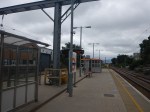
Getting Home From Caledonian Road and Barnsbury Station
The Balls Pond Road of Round The Horne and Beyond Our Ken fame in the 1950s and 1960s, runs between Highbury and Islington and Dalston Junction stations.
- I live about half way between the two stations and as, what would have been my nearest station; Mildmay Park closed in 1934, I have to get a bus from Dalston Junction to get home.
- Today, though, I took a slightly longer route, but one with minimal walking.
- I took a train four stops to Hackney Central station.
- I used the bridge with lifts to cross the tracks at Hackney Central station.
- I exited Hackney Central station through the second exit on Graham Road, that was opened in 2022.
- After crossing Graham Road on a light-controlled crossing, I was able to catch a 38 bus to within a hundred metres of my house.
There would be no case for reopening Mildmay Park station, but as I get older this route is the easiest.
Is The Silvertown Tunnel A Silver Elephant?
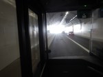
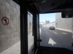
I have been through the Silvertown Tunnel several times now and every time the bus has never really slowed for lots of traffic.
I went through this morning on Easter Sunday and these pictures show all the other traffic I saw.
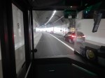
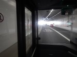
Note.
- I was sitting in the front passenger seat of a 129 bus, which is on the left of the bus.
- We were going from South to North through the Silvertown Tunnel.
- I could read the driver’s speedometer and it showed within a mile per hour of thirty all the way.
- We were passed by only one car in the tunnel.
- There were about a dozen passengers on the lower deck of the bus.
- I didn’t check how many were on the top deck of the bus.
Even on an Easter Sunday, I would have thought the service would have been busier.
Is The Silvertown Tunnel A Silver Elephant?
There are two answera to this question.
- Yes – A lot of money has been spent for just a few cars and bus passengers to have an easy ride through the tunnel.
- No – As traffic is flowing freely through the tunnel, it shows the tunnel is doing its job and freeing up traffic in East London.
But whatever view you take, a lot of money has been spent for a small number of vehicles and passengers to pass through the tunnel.
I also suspect very little extra revenue is being generated.
The Jubilee Line Was Busy
The complete route I took this morning was as follows.
- Home To Angel – 38 bus – Not very busy.
- Angel to London Bridge – Northern Line – Not very busy.
- London Bridge to North Greenwich – Jubilee Line – All seats taken.
- North Greenwich to West Silvertown – 129 bus – Not very busy.
- West Silvertown to Canning Town – Docklands Light Railway – Not very busy.
- Canning Town to Canada Water – Jubilee Line – All seats taken.
- Canada Water to Dalston Junction – Overground – Not very busy.
- Dalston Junction to Home – 30 bus – Not very busy.
Note.
- Only the sections on the Jubilee Line were really busy, with all seats taken.
- London Bridge, Stratford and Waterloo stations on the Jubilee Line are also busy National Rail stations.
- London Bridge, Canada Water, North Greenwich, Canning Town and Stratford all have large modern well-designed bus stations within easy walking distance of the Jubilee Line.
- Given, that there is now a charge to cross the river, have a lot of people decided to take the Jubilee Line rather than their car to go to the O2 at North Greenwich and the Olympic Park and Eastfield at Stratford?
I strongly feel, that more capacity is needed on the Jubilee Line, as no matter what time I use it, I never seem to get a seat.
Taking The Dover Road
This Google Map shows how the A2 ( the Dover Road) links up with the Silvertown and Blackwall Tunnels.
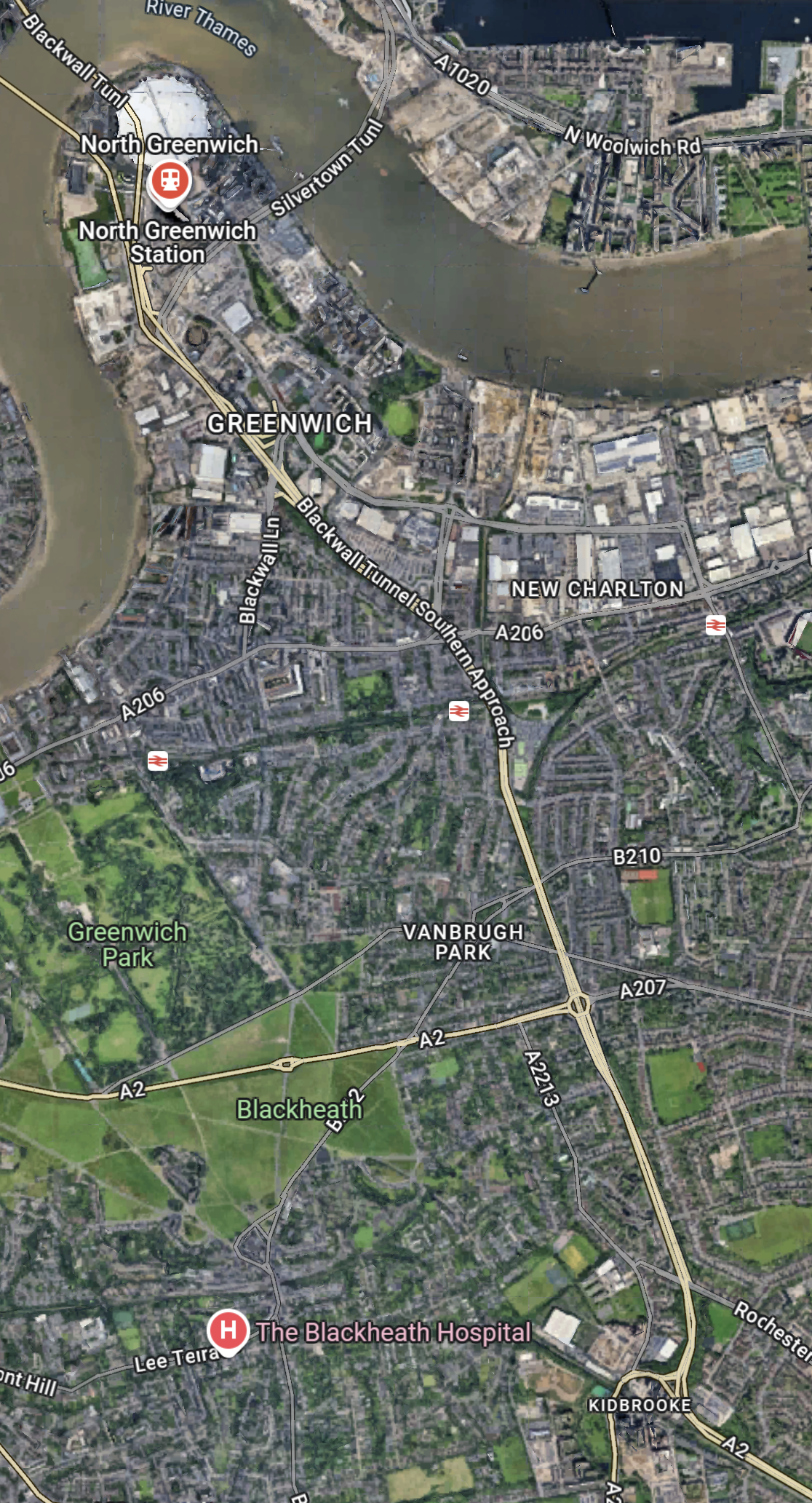
Note.
- The O2 in the North-West corner of the map, with North Greenwich station in red under it.
- The Blackwall Tunnel crosses the river to the North-West of the O2.
- The Silvertown Tunnel crosses the river to the East of the O2.
- Running diagonally across the map is the Blackwall Tunnel Southern Approach, which also serves the Silvertown Tunnel.
- The station to the West of the Southern Approach is Westcombe Park station.
- Click the map to show it to a larger scale.
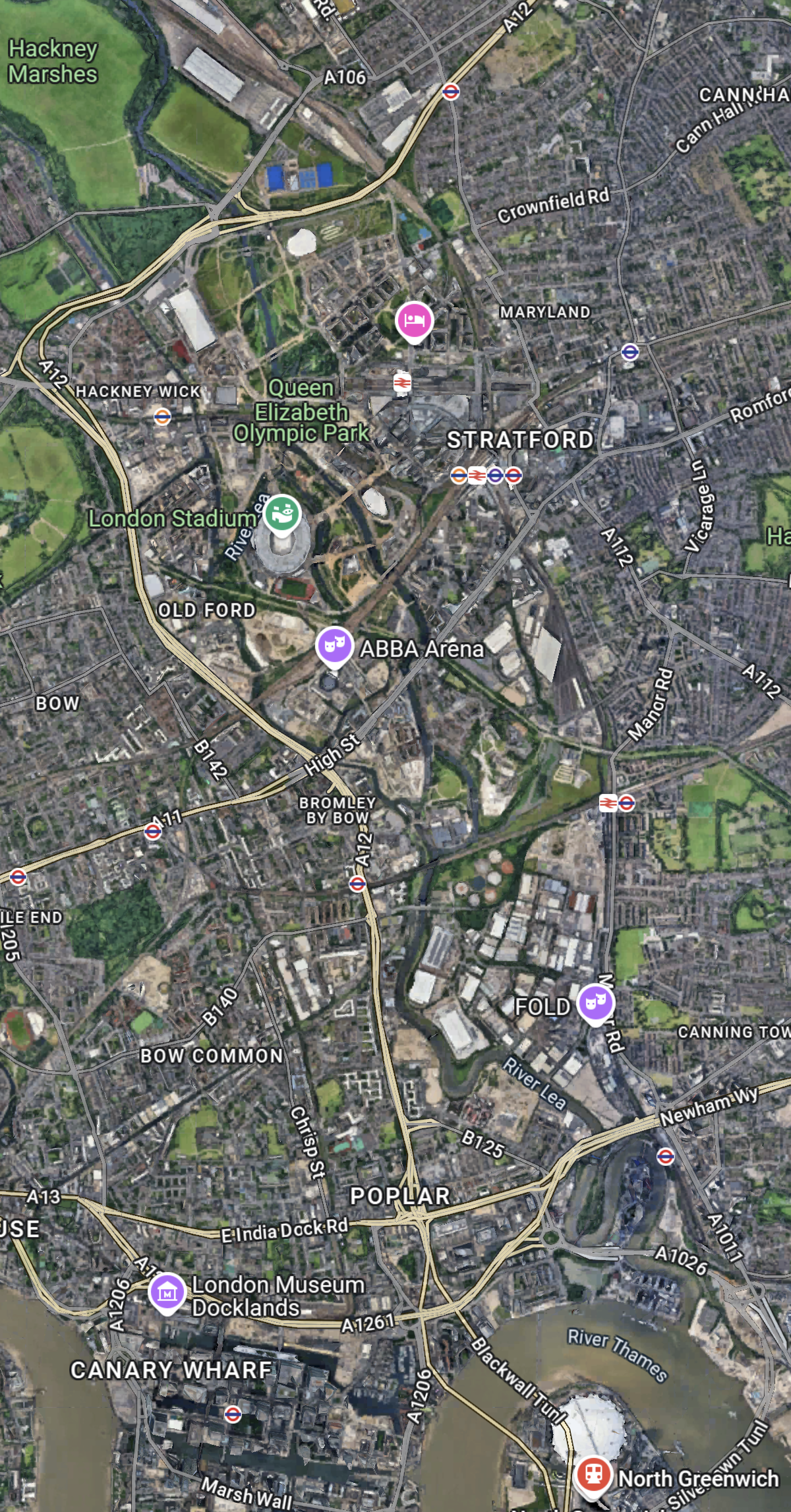
This second Google Map shows the O2, North Greenwich station and the approaches to both tunnels.
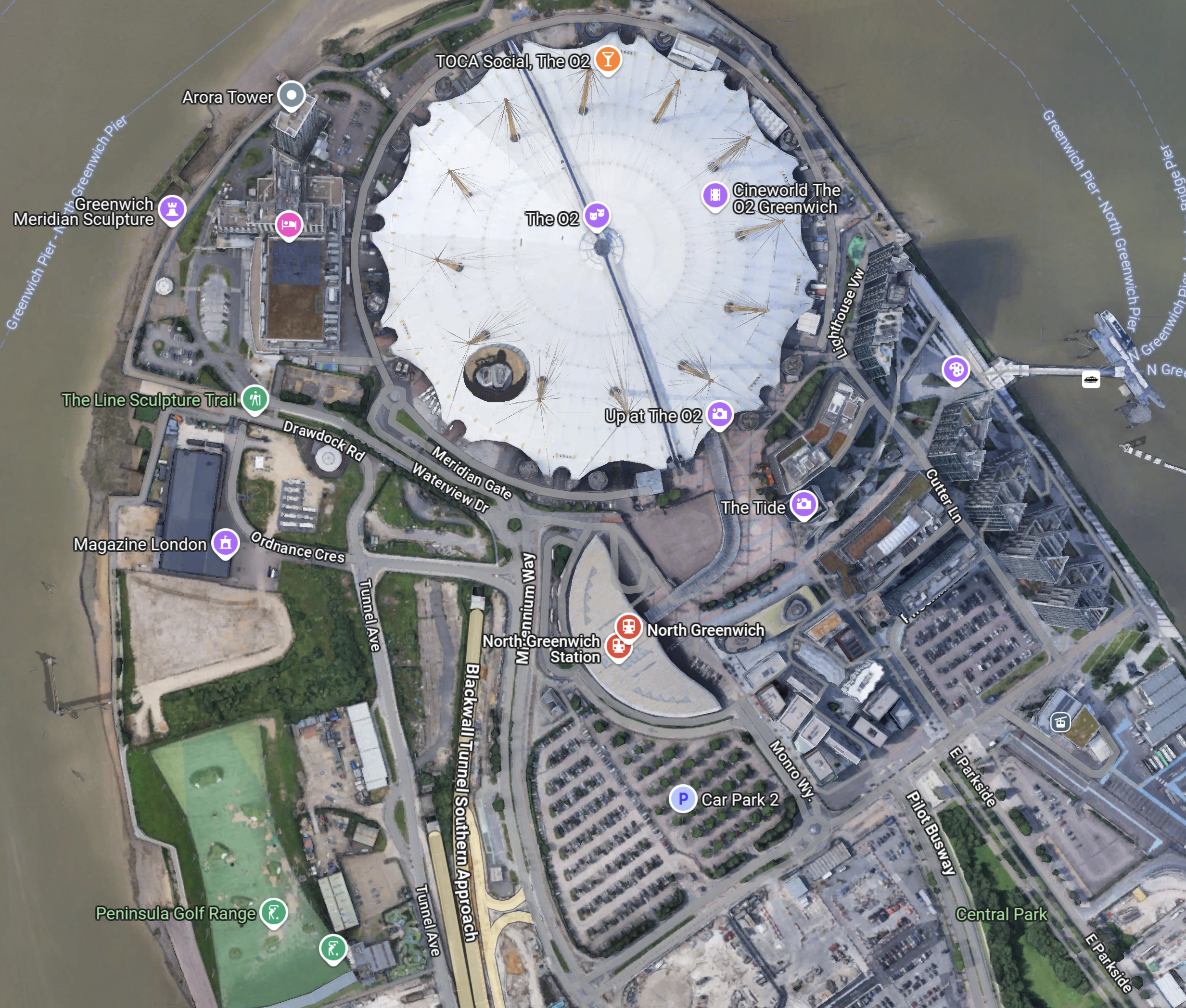
Note.
- The half-moon-shaped building is North Greenwich station.
- The tunnel approaches are rather complicated, but seem to be working well.
- There is lots of car parking.
- The Blackwall Tunnel Southern Approach leaves the tunnles in a Southerly direction.
- Click the map to show it to a larger scale.
This third Google Map shows how the A2 (Dover Road) and A20 (Folkestone Road) link up to the Blackwall Tunnel Southern Approach.
Note.
- The station in the North-West corner of the map is Westcombe Park.
- The road running diagonally South-East from the corner is the Blackwall Tunnel Southern Approach.
- The Blackwall Tunnel Southern Approach then turns East to join with the A2 (Dover Road).
- The Blackwall Tunnel Southern Approach also links up with the A20 (Folkestone Road) , which is the other road running diagonally at the bottom of the map.
In some ways, I am rather surprised at how little traffic is passing through the tunnels given this double dual-carriageway/motorway connection to East Kent, the Channel Tunnel and the Continent. It also has a double connection at both the A2 and A20 to join the M25.
Perhaps, it does mean that the charges are frightening drivers away.
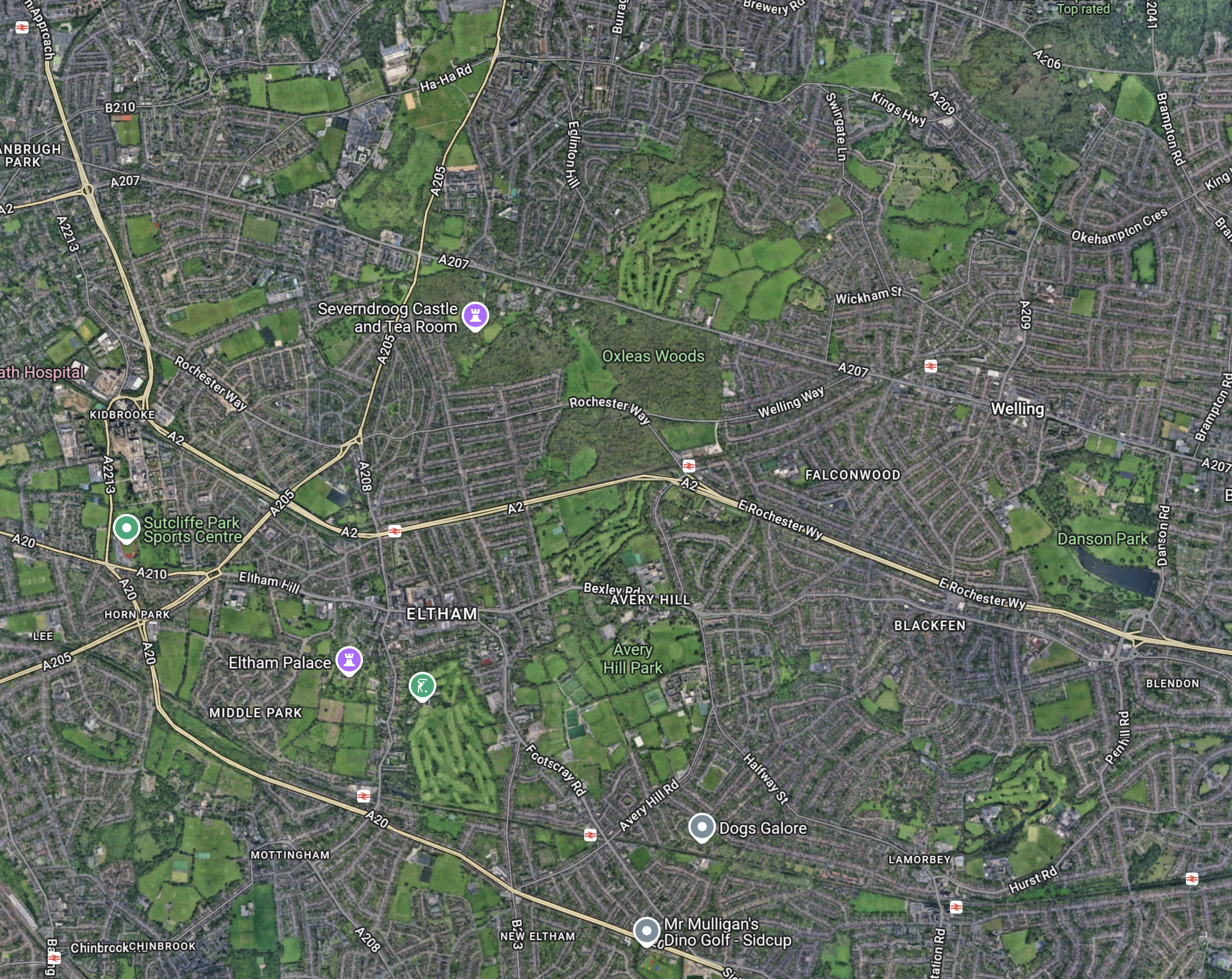
The Roads To The North
This Google Map shows the main approach road to the Blackwall Tunnel.
Note.
- The O2 and North Greenwich station in the South-East corner of the map.
- The Blackwall Tunnel crosses the river to the North-West of the O2.
- The A12 dual-carriageway runs North up the Lea Valley through Hackney.
- There is a dual-carriageway/motorway box formed by the M11 in the West, A12 in the East, M 25 in the North and A 406 in the South to speed traffic on its way, including to the two main routes to the North; the M1 and the A1.
I have lived for thirty years of my life in North London, and I feel, that although the roads to the North of London could be improved, I don’t suspect they are the reason drivers are not using the Silvertown and Blackwall Tunnels.
I would suspect that drivers don’t like or trust the charging system, or could it be that the public transport system in London and especially the East of London is too good?
But we do need to increase the capacity of the Jubilee Line either directly or would a high-capacity bus-route shadowing the line, be able to add the extra capacity needed?
More Mushroom Management On TfL Buses
After my experience in Mushroom Management On TfL Buses, I’ve changed my weekend breakfast routine at weekends, to one where on Saturdays and Sundays, I eat breakfast in London’s poshest Leon at Hanover Square, which I wrote about in A Quality Takeaway With A Station And A Large Garden.
It is a large restaurant.
It has comfortable seating.
It is within my not very long walking distance of the Bakerloo, Central, Elizabeth, Jubilee and Victoria Lines, and Oxford Street with all its buses.
There is a garden with seating in the square.
This picture shows the frontage of the building.
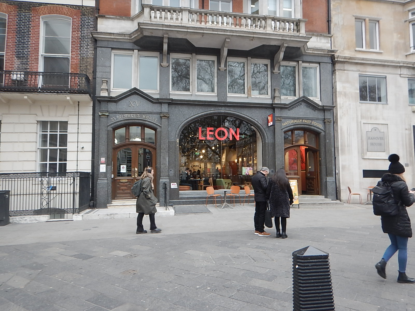
It’s certainly not your average takeaway or fast food outlet.
Normally, Hanover Square is a very easy location for me to travel to.
- I walk round the corner to the stop for the 38 bus.
- The 38 buses are usually every 3-4 minutes and I travel to Tottenham Court Road station.
- I go one stop on the Elizabeth Line, travelling in the rear of the train to Bond Street station.
- I’m then at the right end of the station to exit directly into Hanover Square, after riding up from the depths on a long escalator.
Leon is just a fifty metre walk away.
Today, there were no problems, although I did cut it a bit tight.
But all was fine in the end and I had a good full-English breakfast.
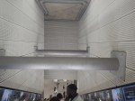
A Difficult Journey Home!
When, I set off from home, I wasn’t sure which way, I would come home.
In the end, I decided to come home the simple way of taking the Elizabeth Line to Moorgate station and then getting the 141 bus from there, as it stops close to my home.
But this route has the Elizabeth Line end-changing problem, in that the Hanover Square entrance at Bond Street station is at the Eastern end of the train and the Moorgate entrance at Liverpool Street station is at the Western end of the train.
So at some point in the journey, I would have to take a two-hundred metre walk, either on the platform or inside the train. The latter is not easy on a train to and from Heathrow, as it is often stuffed full with cases in the aisle. Why do people want to take all the contents of their house on holiday?
So I decided to go via a reverse at Whitechapel, where I positioned myself at the Western end of the train for exit at Moorgate.
It really was necessary to install travellators at Liverpool Street station on the Elizabeth Line, as between the two entrances is a long walk, as this graphic shows.
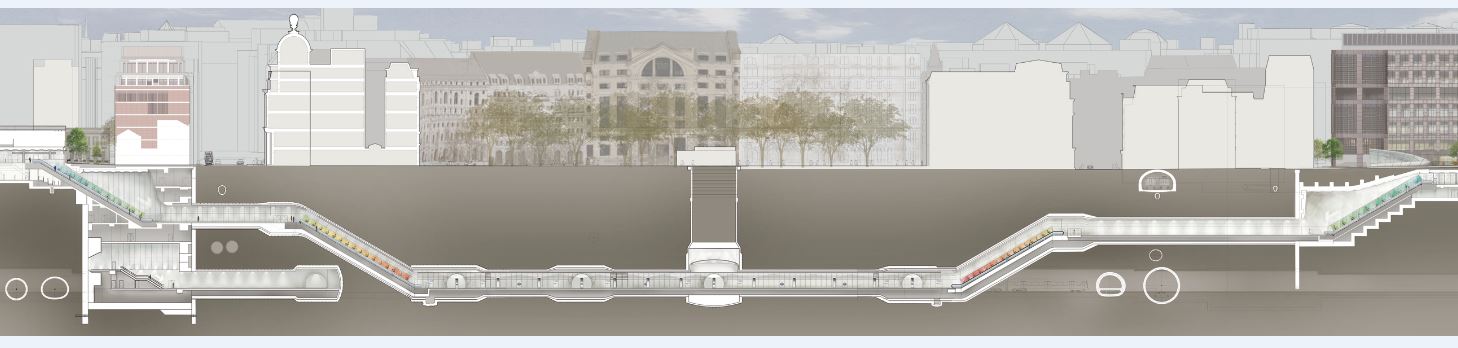
Note.
- Moorgate is to the left
- Liverpool Street is to the right.
But then Transport for London wanted a spectacular line with spectacular stations, that would win awards. Which it has!
I alighted from the train at the Moorgate end of the station, which meant that after two escalator rides and a short walk, I was at the 141 bus stop on the surface.
But there were no buses of any numbers calling at the stop.
This was because of the Lord Mayor’s Show, which meant there were no buses through the City.
But.
- There were no posters at stations saying that the show was taking place and buses would be diverted.
- Displays on bus stops were not saying anything about the show.
- The BBC hadn’t mentioned the Lord Mayor’s Show on the TV this morning.
- The BBC doesn’t have a local news at weekends, which would surely have mentioned the show and its effects on public transport.
- The display on the bus stop at Moorgate was still broken, as it has been for six months.
- There was a small information poster on the bus stop, but it was positioned too high for me to see.
- Taxis seemed to be avoiding the City.
There were a few stewards about and one suggested, that I walked to Old Street, which would not be easy on my legs.
In the end, I decoded that a retreat via Whitechapel and Dalston Junction was probably the best way to get home, as the Overground would be unlikely to be effected.
But I made the mistake of getting on a Circle Line train at Moorgate, so I didn’t get to Whitechapel.
Instead, I walked to the 141 and 21 bus stop at Monument station and caught a 21 bus North. I hoped that I would be able to connect to the 141 bus, that I needed to get home.
I did get safely home, but only after two long waits at bus stops, where I changed bus routes twice.
Conclusion
Transport for London need to devise bus plans for all major events and publicise them well in advance.
In London’s New 733 Bus Route, I described how Transport for London put in a temporary bus route between Finsbury Square and Oval stations to replace the Northern Line during the upgrade of Bank station.
As the Lord Mayor’s Show happens every year, surely the same plan can be rolled out each year, with any appropriate changes.
I’d be interested to know whether other large cities have plans for big celebrations in city centres.
Mushroom Management On TfL Buses
Transport for London or as all Londoners abuse them as TfL, are getting the masters at applying mushroom management to running the buses. Especially at the weekends.
For those of you not familiar with the last century term, it means keeping everybody in the dark and throwing in lots of manure. As in the 1970s, I used to live next door to a mushroom factory, I know it at least works with fungi, but I’m not sure of it’s effectiveness with fleets of buses about moving passengers.
Most Saturdays, I take a 141 bus to Moorgate and have a full English gluten-free breakfast in the Leon cafe there, as I like to set myself up for the weekend.
The 141 bus may be one of the least reliable buses in the capital, but last Saturday, I was dropped close to Liverpool Street station and yesterday, I was dropped under the Barbican.
No warning, advice or apology about the change of plan.
But then like the Mayor, TfL are never in the wrong.
Today was different!
After taking a 56 bus from near my house to the Angel I had another full English gluten-free breakfast in the Leon cafe there, before taking the Northern Line to Euston station.
I was hoping, I could take a trip somewhere, but there were extensive engineering works, so I just came home from Euston on the Overground via Willesden Junction station.
I ended up at Hackney Central station, where I did a bit of shopping in the excellent M & S Food shop.
Normally, I just get a 38 bus home from the side of the station, but there weren’t any around.
Again, there was no warning, advice or apology. Just loads of people looking for non-existent buses.
It was a full three hours before I completed my round trip.
Transport for London has no respect for its passengers.
Normal businesses would go bust, if they treated their customers like this.
Heritage Buses On The 38 Bus Route
Today, was one of those days, when the 38 bus was augmented by a few heritage buses.
Everybody was swapping stories of buses and their childhoods.
East London Is A Duckers And Divers Paradise
This is the East End Tube Map, which I clipped off the full tube map.
I live just South of the East London Line between Canonbury and Dalston Junction stations.
Today started just after nine, as many others do by braving the nightmare on the buses to take a 141 bus to Moorgate.
- At Moorgate, I had breakfast as I do regularly in the Leon, by Moorgate station.
- After breakfast, it was one stop South on the Northern Line to Bank, to see if the new entrance had opened.
- It was then a trip on the new moving walkway to the Central Line.
- I took the Central Line to Stratford to do my main shopping at the start of the week, in the large Marks and Spencer in Eastfield, by the station entrance.
- It was then on to the North London Line to go back home.
- I didn’t go all the way home on the Overground, but got off the train at Hackney Central and using the new Graham Road entrance, I crossed to get a 38 bus, which would take me home.
- But two 38s passed as I tried to cross the road and in the end I took a 277 bus to Dalston Junction station.
- From the Junction, I got a 56 bus home.
I got home about eleven.
At least now, I’ve got food until Thursday!
The 38 Bus And The Lizzie Line
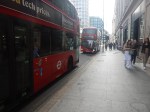
London’s 38 bus is very convenient for me.
- It is a frequent route, running most times every few minutes.
- The stops are about a hundred metres from my house just round the corner.
- To the East it goes through Hackney to the romantic Clapton Pond.
- To the West it goes to Angel and across Central London to Victoria station.
- The route connects to the new entrance at Hackney Central station, which makes it easy coming home from the East with heavy shopping.
Yesterday, I used the 38 bus to go to and from the Lizzie Line for a trip to Paddington station.
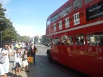
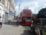
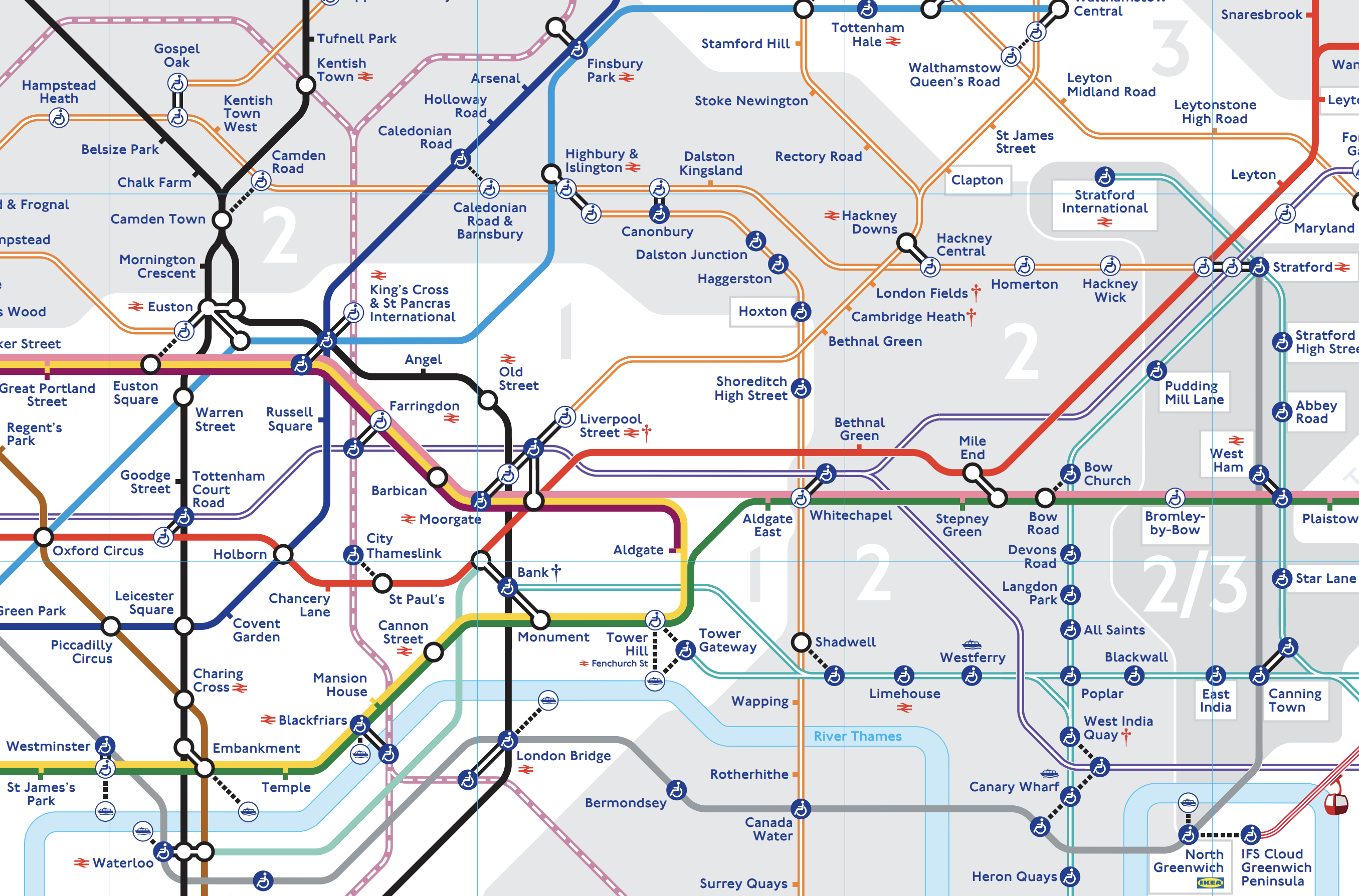
The Outrun
These pictures show the change to the Lizzie Line at Tottenham Court Road station.

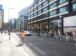


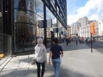


Note.
- It was a walk of about a hundred metres.
- I took pictures of the entrance to the new @sohoplace theatre, which is still behind barriers.
- The walk could improve, once the works around Centre Point are finished.
It’s certainly a viable route from where I live and the Angel to the Lizzie Line, if you’re going West.
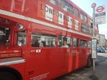
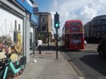
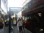
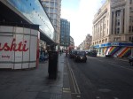
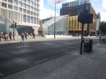
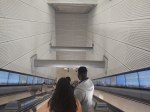
The Return
I took these pictures on my return.

Note.
- It was a walk of about a hundred metres.
- The two stops for the 38 bus are opposite each other.
- The walk could improve, once the works around Centre Point are finished.
It would certainly be a viable route to get from the Lizzie Line to the Angel, if you’re coming from the West.
It would also be a viable route for me to get to my house.
Although taking a 21 or 141 bus from Moorgate is a better route, as I suspect it is quicker.
Unfortunately, that route won’t be viable if Transport for London have their way and execute The Great Bus Robbery.
Which Route Does Transport for London’s Journey Planner Recommend?
Whoever wrote the current version of this is not a Londoner, as it recommends a route with three changes and doesn’t use the Lizzie Line.
If I type in my home address, it does recommend going via Dalston Junction and Whitechapel, which is better, but the walk is too much for me on some days.
I Wouldn’t Be Surprised To See Improvements To The Positions Of Bus Stops
They are not best placed at the moment, but the construction in the area is still going on.
So after construction finishes, I wouldn’t be surprised to see some stops moved to better places.
