Is The Silvertown Tunnel A Silver Elephant?
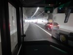
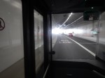
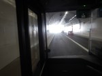
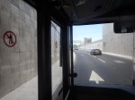
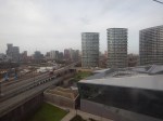
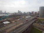
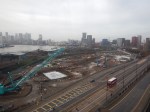
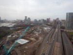
I have been through the Silvertown Tunnel several times now and every time the bus has never really slowed for lots of traffic.
I went through this morning on Easter Sunday and these pictures show all the other traffic I saw.
Note.
- I was sitting in the front passenger seat of a 129 bus, which is on the left of the bus.
- We were going from South to North through the Silvertown Tunnel.
- I could read the driver’s speedometer and it showed within a mile per hour of thirty all the way.
- We were passed by only one car in the tunnel.
- There were about a dozen passengers on the lower deck of the bus.
- I didn’t check how many were on the top deck of the bus.
Even on an Easter Sunday, I would have thought the service would have been busier.
Is The Silvertown Tunnel A Silver Elephant?
There are two answera to this question.
- Yes – A lot of money has been spent for just a few cars and bus passengers to have an easy ride through the tunnel.
- No – As traffic is flowing freely through the tunnel, it shows the tunnel is doing its job and freeing up traffic in East London.
But whatever view you take, a lot of money has been spent for a small number of vehicles and passengers to pass through the tunnel.
I also suspect very little extra revenue is being generated.
The Jubilee Line Was Busy
The complete route I took this morning was as follows.
- Home To Angel – 38 bus – Not very busy.
- Angel to London Bridge – Northern Line – Not very busy.
- London Bridge to North Greenwich – Jubilee Line – All seats taken.
- North Greenwich to West Silvertown – 129 bus – Not very busy.
- West Silvertown to Canning Town – Docklands Light Railway – Not very busy.
- Canning Town to Canada Water – Jubilee Line – All seats taken.
- Canada Water to Dalston Junction – Overground – Not very busy.
- Dalston Junction to Home – 30 bus – Not very busy.
Note.
- Only the sections on the Jubilee Line were really busy, with all seats taken.
- London Bridge, Stratford and Waterloo stations on the Jubilee Line are also busy National Rail stations.
- London Bridge, Canada Water, North Greenwich, Canning Town and Stratford all have large modern well-designed bus stations within easy walking distance of the Jubilee Line.
- Given, that there is now a charge to cross the river, have a lot of people decided to take the Jubilee Line rather than their car to go to the O2 at North Greenwich and the Olympic Park and Eastfield at Stratford?
I strongly feel, that more capacity is needed on the Jubilee Line, as no matter what time I use it, I never seem to get a seat.
Taking The Dover Road
This Google Map shows how the A2 ( the Dover Road) links up with the Silvertown and Blackwall Tunnels.
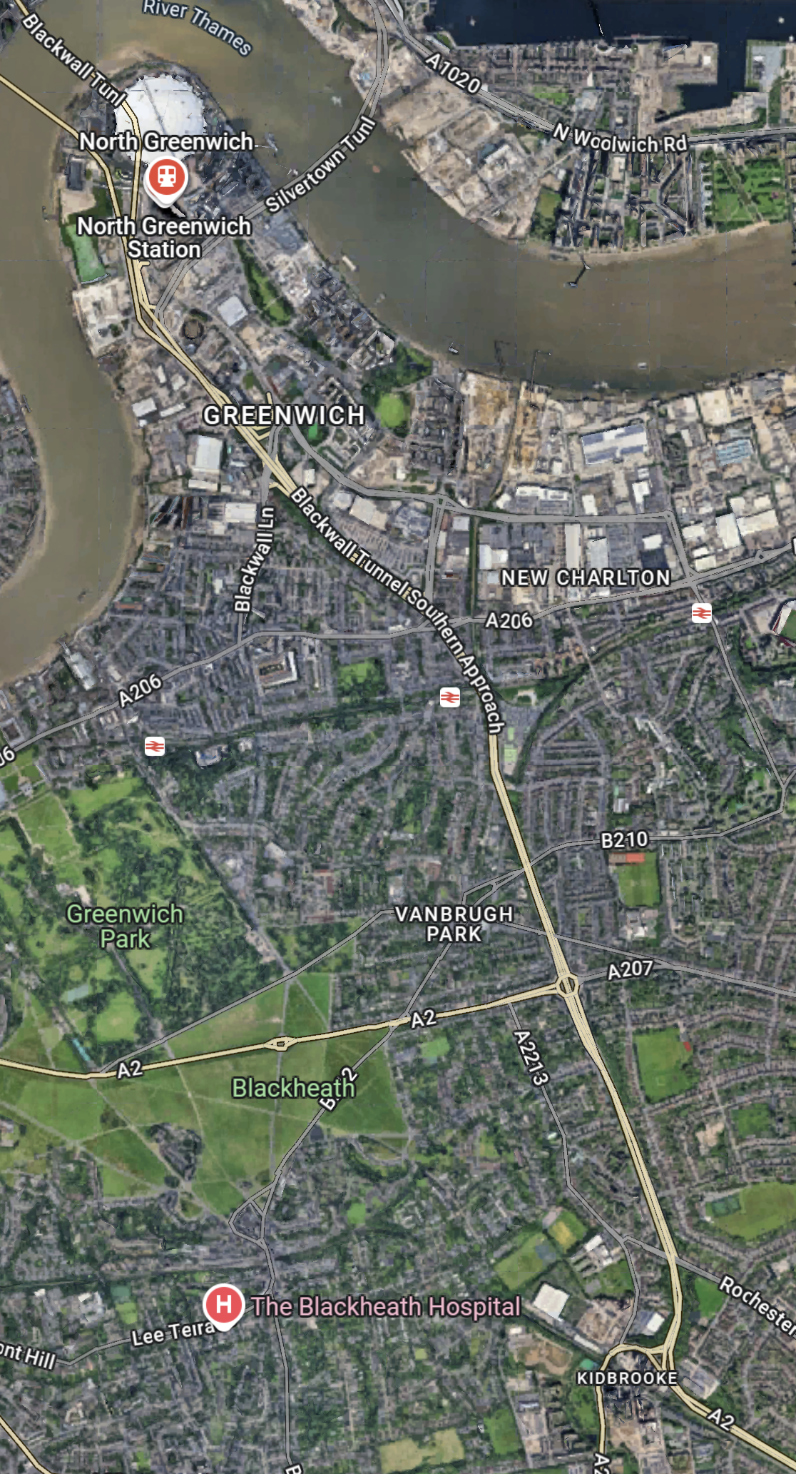
Note.
- The O2 in the North-West corner of the map, with North Greenwich station in red under it.
- The Blackwall Tunnel crosses the river to the North-West of the O2.
- The Silvertown Tunnel crosses the river to the East of the O2.
- Running diagonally across the map is the Blackwall Tunnel Southern Approach, which also serves the Silvertown Tunnel.
- The station to the West of the Southern Approach is Westcombe Park station.
- Click the map to show it to a larger scale.
This second Google Map shows the O2, North Greenwich station and the approaches to both tunnels.
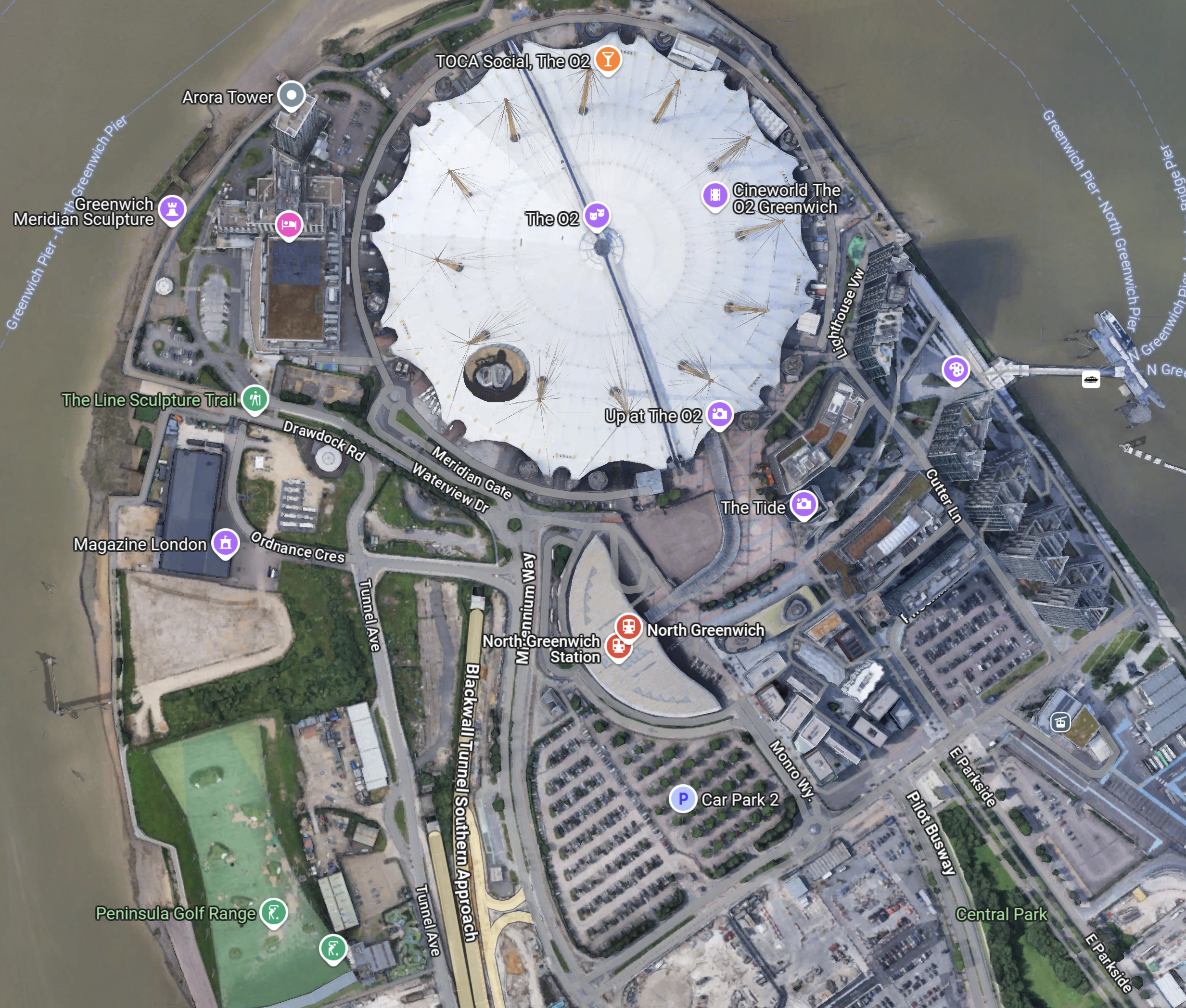
Note.
- The half-moon-shaped building is North Greenwich station.
- The tunnel approaches are rather complicated, but seem to be working well.
- There is lots of car parking.
- The Blackwall Tunnel Southern Approach leaves the tunnles in a Southerly direction.
- Click the map to show it to a larger scale.
This third Google Map shows how the A2 (Dover Road) and A20 (Folkestone Road) link up to the Blackwall Tunnel Southern Approach.
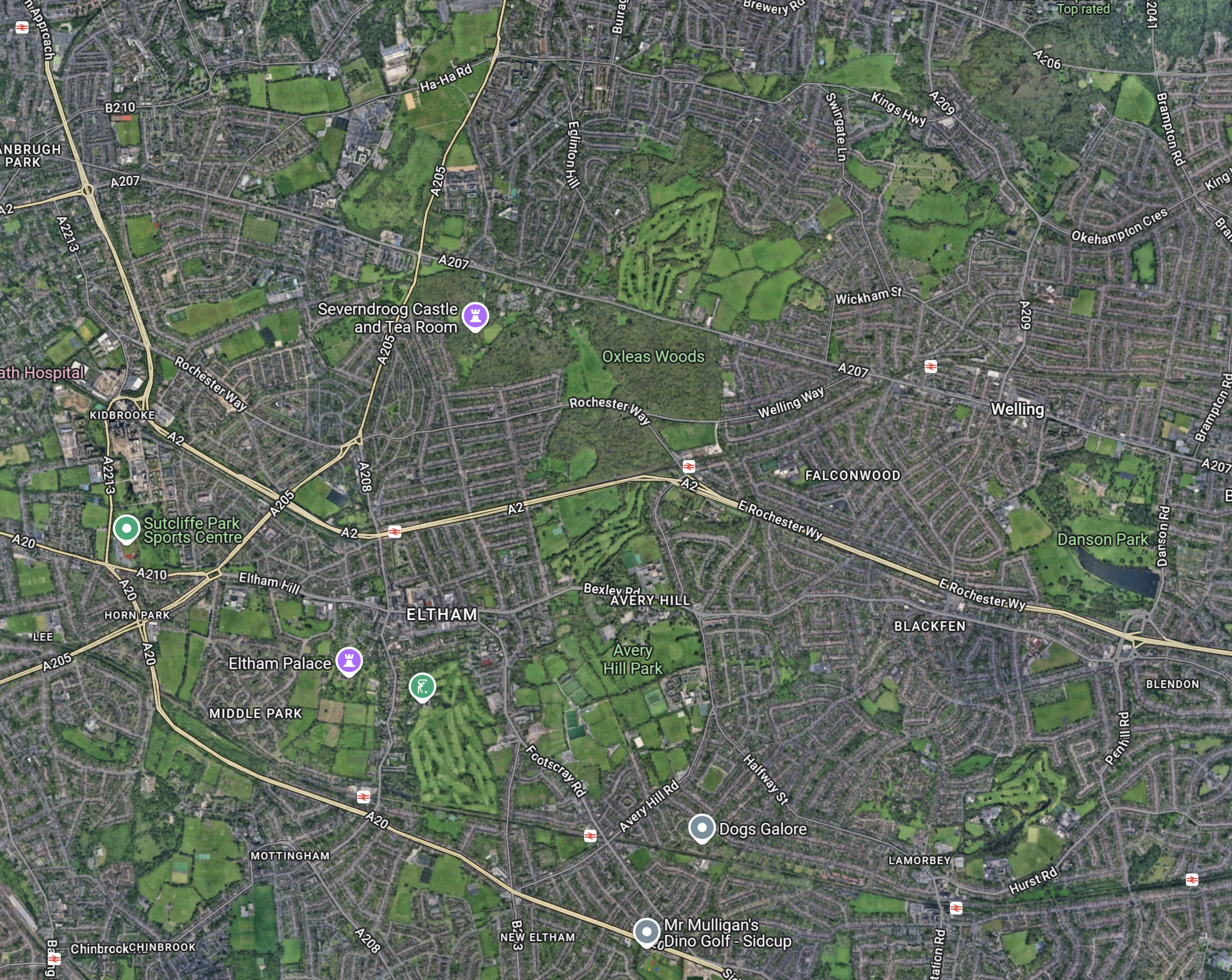
Note.
- The station in the North-West corner of the map is Westcombe Park.
- The road running diagonally South-East from the corner is the Blackwall Tunnel Southern Approach.
- The Blackwall Tunnel Southern Approach then turns East to join with the A2 (Dover Road).
- The Blackwall Tunnel Southern Approach also links up with the A20 (Folkestone Road) , which is the other road running diagonally at the bottom of the map.
In some ways, I am rather surprised at how little traffic is passing through the tunnels given this double dual-carriageway/motorway connection to East Kent, the Channel Tunnel and the Continent. It also has a double connection at both the A2 and A20 to join the M25.
Perhaps, it does mean that the charges are frightening drivers away.
The Roads To The North
This Google Map shows the main approach road to the Blackwall Tunnel.
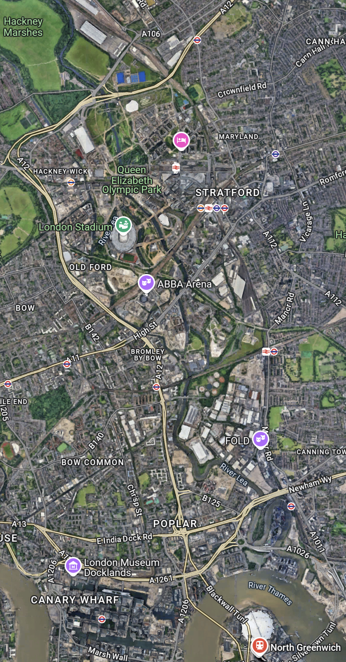
Note.
- The O2 and North Greenwich station in the South-East corner of the map.
- The Blackwall Tunnel crosses the river to the North-West of the O2.
- The A12 dual-carriageway runs North up the Lea Valley through Hackney.
- There is a dual-carriageway/motorway box formed by the M11 in the West, A12 in the East, M 25 in the North and A 406 in the South to speed traffic on its way, including to the two main routes to the North; the M1 and the A1.
I have lived for thirty years of my life in North London, and I feel, that although the roads to the North of London could be improved, I don’t suspect they are the reason drivers are not using the Silvertown and Blackwall Tunnels.
I would suspect that drivers don’t like or trust the charging system, or could it be that the public transport system in London and especially the East of London is too good?
But we do need to increase the capacity of the Jubilee Line either directly or would a high-capacity bus-route shadowing the line, be able to add the extra capacity needed?
Would A Solar Roof With Added Vertical Turbines Work?
This picture shows Oakwood station on the Piccadilly Line.
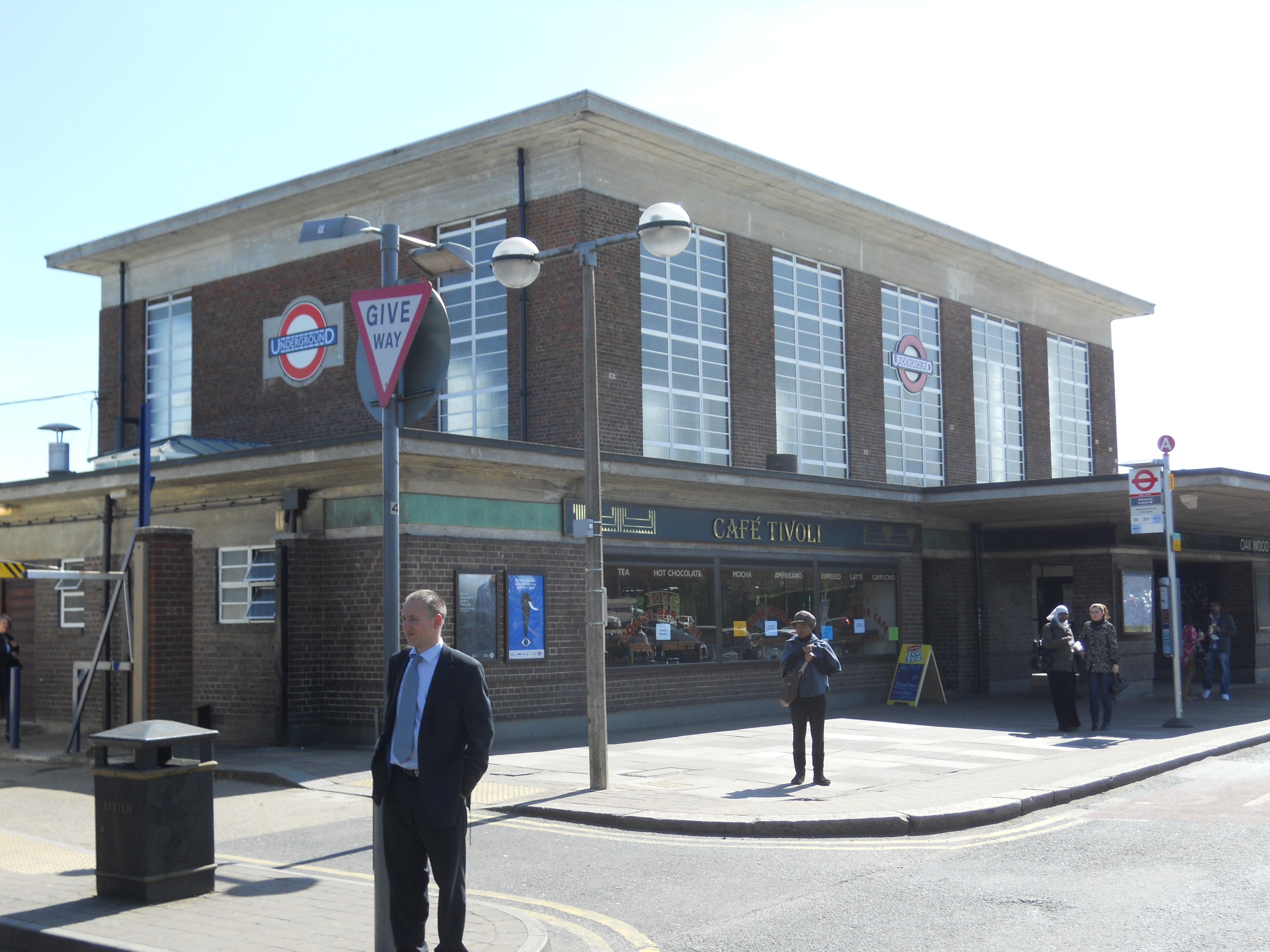
Note.
- The station is the second most Northerly on the line.
- It opened in 1933.
- It is a classic Charles Holden design.
- It is a Grade II* Listed building.
- The station is on top of a hill and has an elevation of 71 metres above sea level.
This Google Map shows a close-up of the roof.
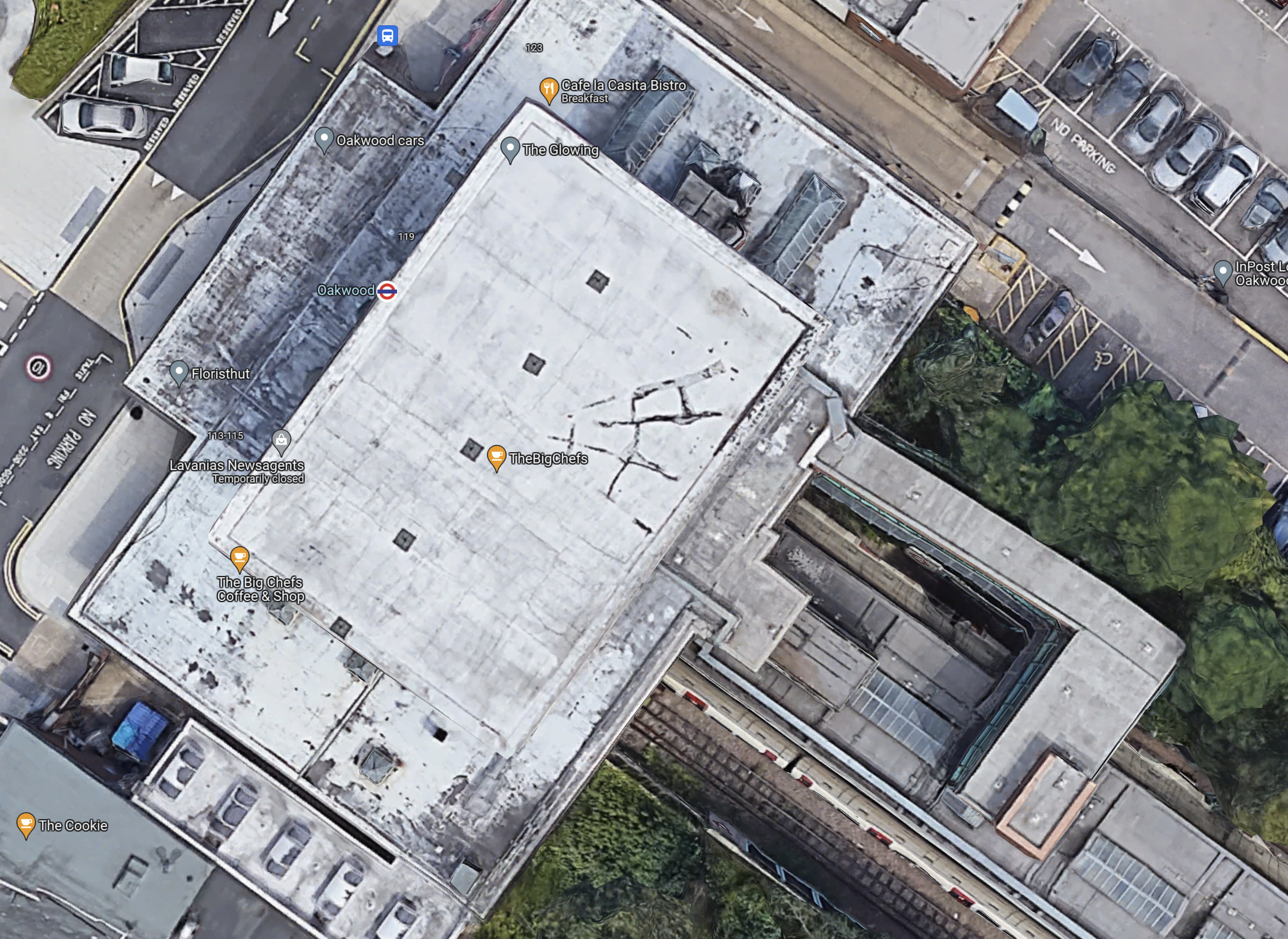
There might be a few aerials on the roof, but no solar panels.
Oakwood’s Location And Weather
I used to live near Oakwood station and it had its disadvantages.
- Cycling home was always up a steep hill.
- It could get very cold at times.
There even used to be a plaque at the station, which said that if you flew East, the first land you would hit would be the Urals.
Oakwood station could be an ideal renewable power station.
- The concrete and brick box of the station is probably exceedingly strong.
- Solar panels could cover the flat roof.
- SeaTwirls or other vertical turbines could be mounted around the solar panels.
- There could still be spaces for the aerials.
- I wonder what the reaction of English Heritage would be.
Should we call this mixed solar and wind power generation, hybrid renewable energy? Or do we overdo, the use of hybrid?
London Underground have other stations of a similar design including Sudbury Town and Acton Town.
The Wider Area To The West Of Oakwood Station
This Google Map shows the area to the West of Oakwood station.
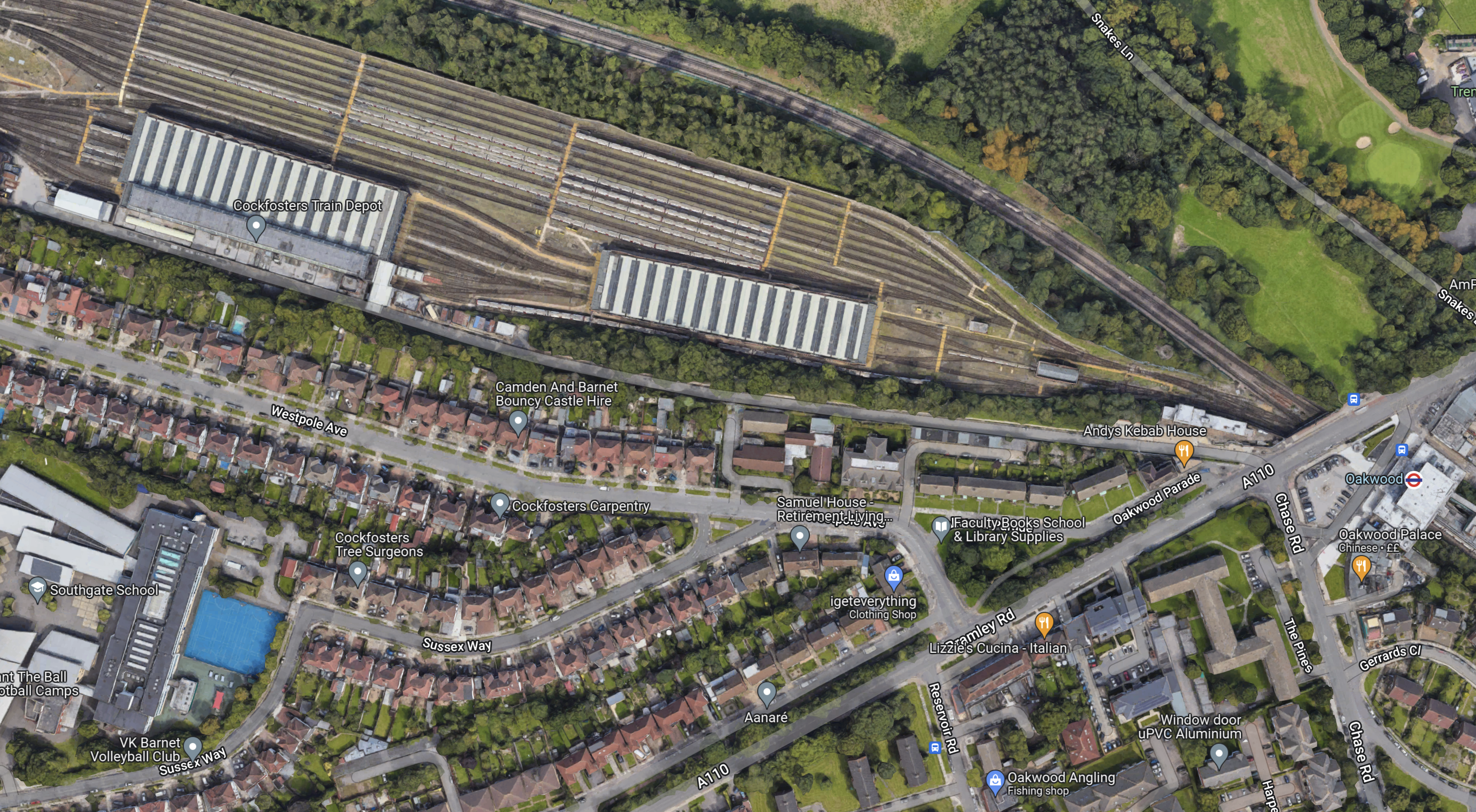
Note.
- The striped roofs at the top of the map, with sidings for trains to the North, is Cockfosters Train Depot for the Piccadilly Line..
- The large building in the South-West corner is Southgate School, which I watched being built in the early 1960s, from my bedroom window in our house opposite. It is a concrete frame building typical of the period.
- Oakwood station is at the East side of the map and indicated by a London Underground roundel.
I think the possibilities for hybrid power generation in this area are good.
Cockfosters Depot
Cockfosters Depot could be an interesting site to develop as a renewable power station.
- There’s no way the site could be developed for housing, as it’s in the Green Belt.
- Road access is bad, but access for trains is good.
- I estimate that the depot is an area of at least five square kilometres.
- It’s still windy in the depot.
But it could have a solar roof and a few vertical wind turbines over the whole depot as designs and panels improve.
Southgate School
Southgate School could have a similar setup to Oakwood station.
Opportunities At Cockfosters Station
This Google Map shows a 3D image of Cockfosters station and the buildings around it.

Note.
- Cockfosters station is indicated by the roundel.
- The station is a Grade II Listed building.
- The station has an elevation of 97 metres.
- Half of the station car park is going to be turned into housing.
- Trent Park lies to the North of the station.
- The road in front of the station is Cockfosters Road, which to the North joins the M25 at Junction 24.
- The building between Cockfosters Road and the railway used to be offices, but it is now being converted into housing.
That high roof of the housing development, must be an ideal candidate for solar panels and vertical wind turbines.
Conclusion
I have tried to show the potential of just one of the small hills that ring London.
The Northern End Of The Silvertown Tunnel
This map from OpenRailwayMap shows the Northern end of the Silvertown Tunnel.
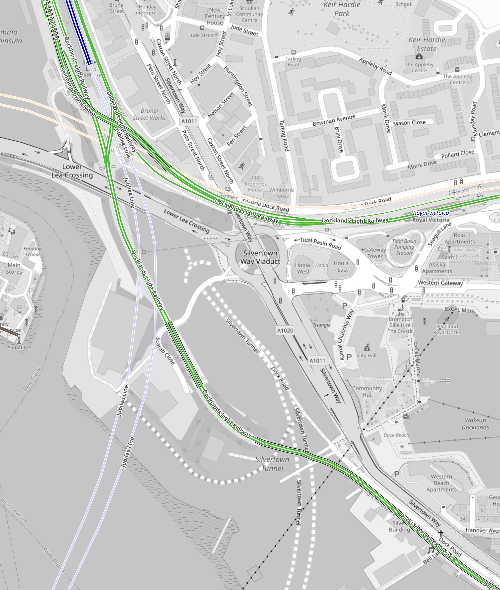
Note.
- The two dotted white lines show the route of the Silvertown Tunnel.
- The green lines are the Docklands Light Railway.
- The Northern green line is the Beckton branch.
- The Southern green line is the Woolwich Arsenal branch.
- The two silver-grey lines that loop across the top part of the map are the Jubilee Line.
- Canning Town Station is in the North-West corner of the map.
- The pair of cream lines across the map to the South of Canning Town station are the tunnels of the Elizabeth Line.
- The black dotted line going across the South-East corner of the map is the cable car.
This Google Map shows vaguely the same area.
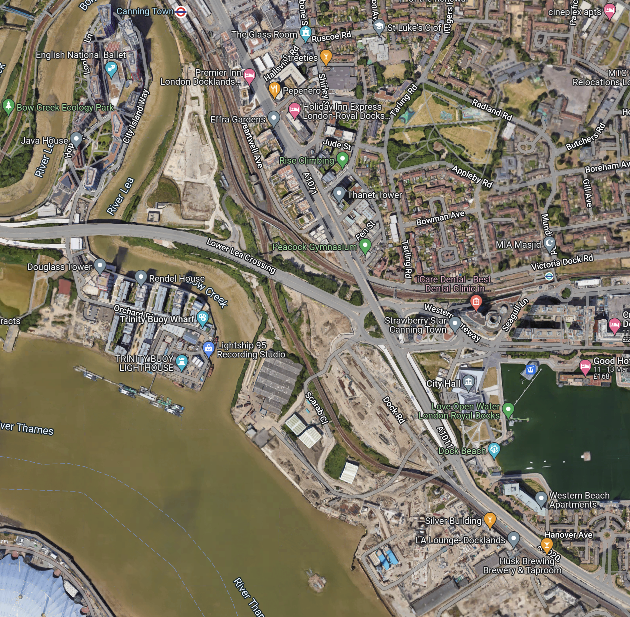
Note.
- Canning Town station at the North of the map in the middle.
- The dual carriage road running NW-SE past Canning Town station, is numbered A1011 in the North-West and A1020 in the South-East.
- The A1011 crosses over a roundabout and the Beckton branch of the DLR on a flyover.
- The roundabout is the Tidal Basin Roundabout, which will be the Northern connection of the Silvertown Tunnel.
- The road running West from the roundabout is the Lower Lea Crossing, which leads to Canary Wharf and the City.
- The water to the right, is the Royal Victoria Dock.
- The Royal Docks cable car station can be seen in the North-West corner of the dock.
- The new City Hall is between the cable car and the A1011.
Comparing the two maps, it appears that the Silvertown Tunnel will emerge somewhere in the cleared land to the West of the A1011.
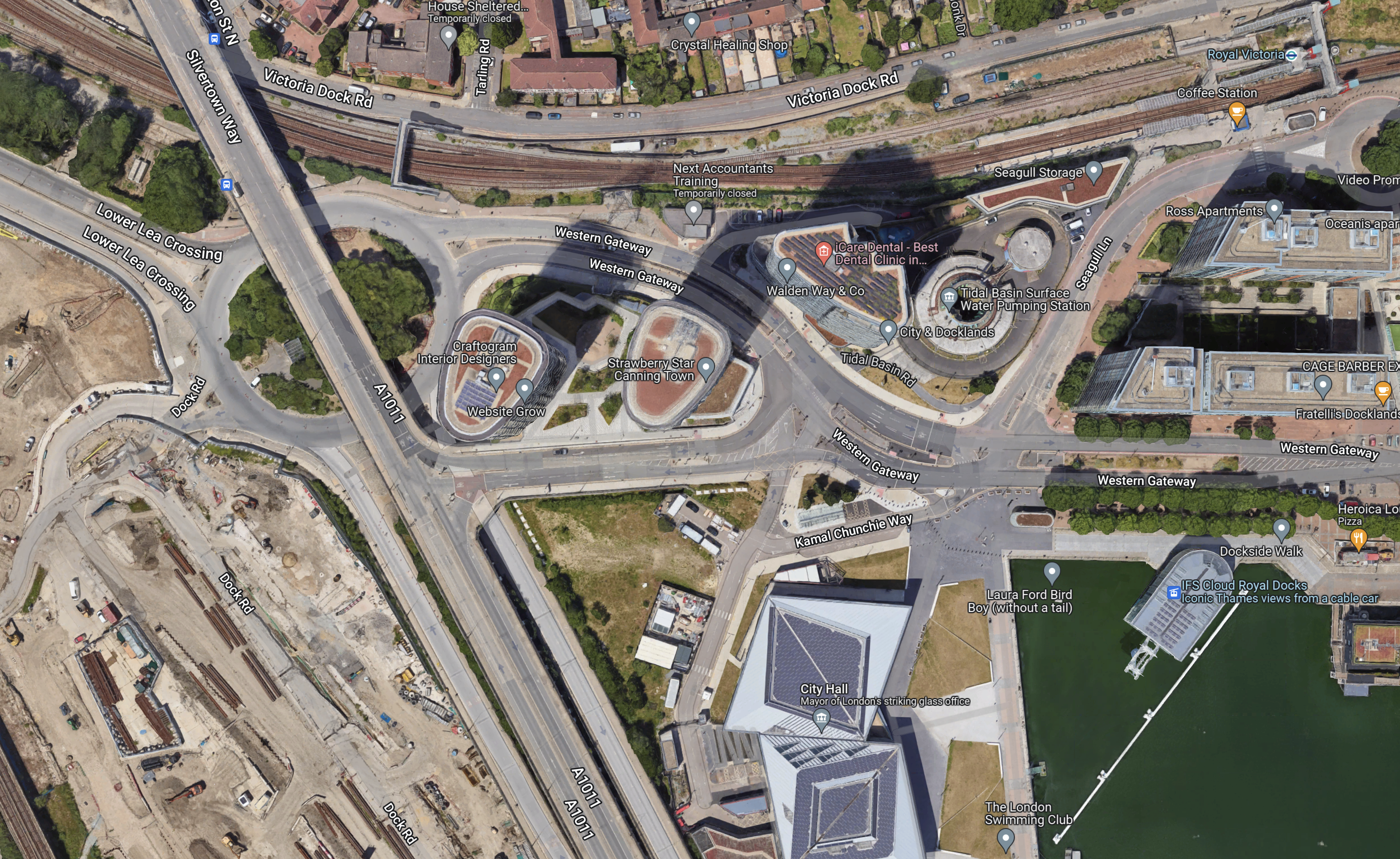
This second Google Map shows the Tidal Basin roundabout, City Hall and the Royal Docks cable car station.
I took these pictures of the area from the cable-car yesterday.

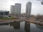
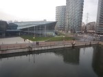
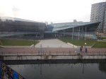
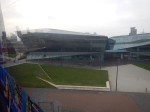
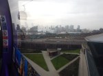
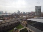
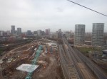
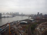
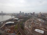
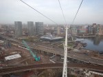
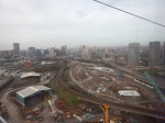
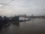
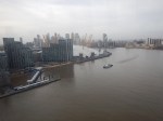
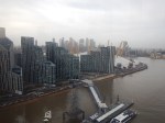
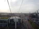
Note.
- The cable-car wasn’t busy.
- I was sitting alone on the Western side of the car.
I have some thoughts about the Silvertown Tunnel.
The Silvertown Tunnel Is Convenient For The New City Hall
From the Google Map, I included earlier, it looks like City Hall is on a loop from the Tidal Basin Roundabout.
it is also especially convenient for those members and officials who live in South London, who will just nip through the new tunnel.
I suspect that limousine access for the great and good to the old City Hall wasn’t as good.
The Obvious Truck Route To The City of London From the Channel Tunnel Will Be To Use The Silverton Tunnel
Recently. I have been watching the construction of 22 Ropemaker Street and I have surprised at how many large components for this building have come in by truck from Europe.
As they seem to arrive overnight, they are probably sneaked in by a secret route like the A13 to avoid a crossing of the River.
As Blackwall and Rotherhithe Tunnels don’t have a high clearance, could these components come into City through the Silvertown Tunnel.
I certainly feel that large truck access to Central London, is the major reason for building the Silvertown Tunnel.
But will large numbers of trucks using the Silverton Tunnel increase congestion on the roads in East London?
As Hackney and Newham are against the Silvertown Tunnel, I suspect they expect lots of traffic to be generated.
Will Satellite Navigation Systems Recommend Using The Silvertown Tunnel?
Of course they will and I suspect when the Northern section of the M25 is congested, vehicles will be sent through the Silvertown Tunnel and London to go North. I must admit, that my brain has sent me on that route to get through London, when the M25 is congested. But then I would generally have been driving a nippy Jaguar estate car, that could use Rotherhithe Tunnel or the bridges in Central London.
Fuel at Brentwood on the M25
As I drove past the Dartford Crossing, it was obvious that I would need to fill up with fuel. No-one in their right mind goes into a motorway service station to buy fuel, although I’ll admit that in some the toilets are clean. Some too have Marks & Spencer, Simply Food outlets and these are worth visiting too.
But at Brentwood, close to the junction is a Total garage on the A1023 that leads into Brentwood.
So I filled up there. It was convenient and cheaper than the fuel on the motorway.
I did make one mistake in that I bought some nuts. But they were KP’s new salt and vinegar variety. They are not gluten-free!
