Lower Thames Crossing Tunnelling ‘To Begin In 2028’
The title of this post, is the same as that of this article on the BBC.
This is the sub-heading.
The tunnelling process for the Lower Thames Crossing is due to begin in 2028.
These three paragraphs add more detail to the story.
National Highways said negotiations to buy one of the world’s largest tunnelling machines were now under way.
It would be capable of digging 60 metres below the Thames, creating a new road link between Essex and Kent, and now enables the project to secure private sector investment to deliver the remainder of the construction.
Next summer, work on the northern tunnel entrance where the tunnel machine will begin its journey will get under way.
Hopefully, it’ll all be complete by the early 2030s.
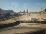
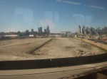
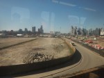
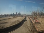
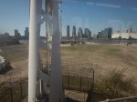
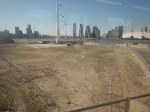
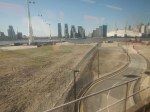
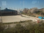
The Elephant In The Garden Of England
This section shows the proposed route of the Lower Thames Crossing.
It as an extract of a previous post called Elizabeth Line To Ebbsfleet Extension Could Cost £3.2 Billion.
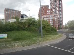
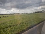
It is proposed that the new Lower Thames Crossing is built to the East of Gravesend.
This map from the Department of Transport, shows the route.
Note.
- The new crossing, which is shown in red, bypasses the Dartford Crossing on the M25.
- The A226 runs between Gravesend and Higham via a junction with the new crossing at Chalk.
- Northfleet is to the West of Gravesend.
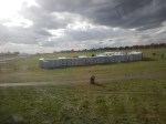
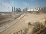
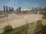
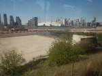
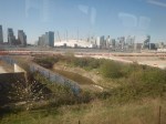
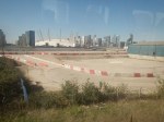
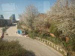
This Google Map shows the area between Chalk and Higham.
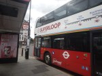
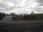
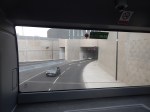
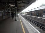
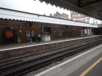
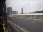
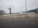
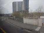
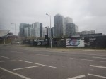
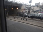
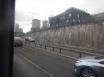
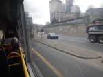
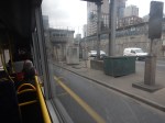
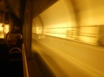
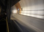
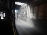
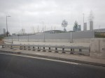
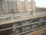
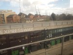
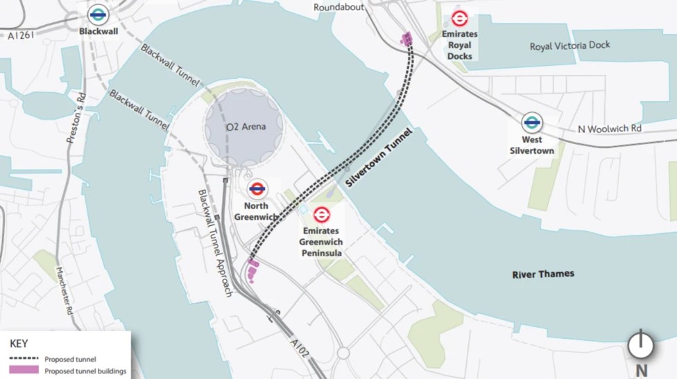
East India And Blackheath Stations Through The Silvertown Tunnel – 22nd August 2025
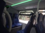
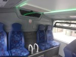
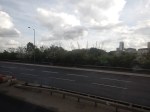
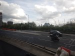
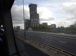
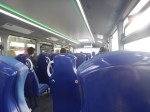
I haven’t been through the Silvertown Tunnel for some weeks, so yesterday, as I wanted to have a look at the refurubished Blackheath station, I went and had a look.


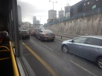
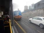
Note.
- The journey was made at about 11:00 on a Friday morning.
- The bus was more of a taxi, as only about five passengers used it.
- The tunnel wasn’t very busy with traffic.
This article on Highways Magazine is entitled Traffic Volumes Down At Blackwall And Silvertown Tolls.
This is the sub-heading.
Daily traffic volumes for both the newly opened Silvertown and Blackwall tunnels are 7.6% lower than in the same period last year for just the Blackwall tunnel, Highways can reveal.
I feel very much, that the Silvertown Tunnel is being underused and perhaps we should run more local buses or even long-distance coaches through the tunnel.
Faroes-Style Tunnels Could ‘Transform’ Fortunes For Shetland Isles
The title of this post, is the same as that of this article on the BBC.
This is the sub-heading.
The Faroese prime minister says Shetland could boost growth and revitalise island life by following his country in replacing ageing ferries with undersea tunnels.
These three paragraphs add more details.
Shetland Islands Council says it is pushing ahead with plans to build tunnels to four outlying isles in the archipelago including Unst, the most northerly place in the UK.
“I think we have learned in the Faroe Islands that investment in infrastructure is a good investment,” Aksel Johannesen told BBC News.
Shetland Islands Council says its multi-million pound project is likely to be funded by borrowing money and paying it back through tolls, potentially providing a new transport model for other Scottish islands.
This map shows the ferries in the Shetland Islands.
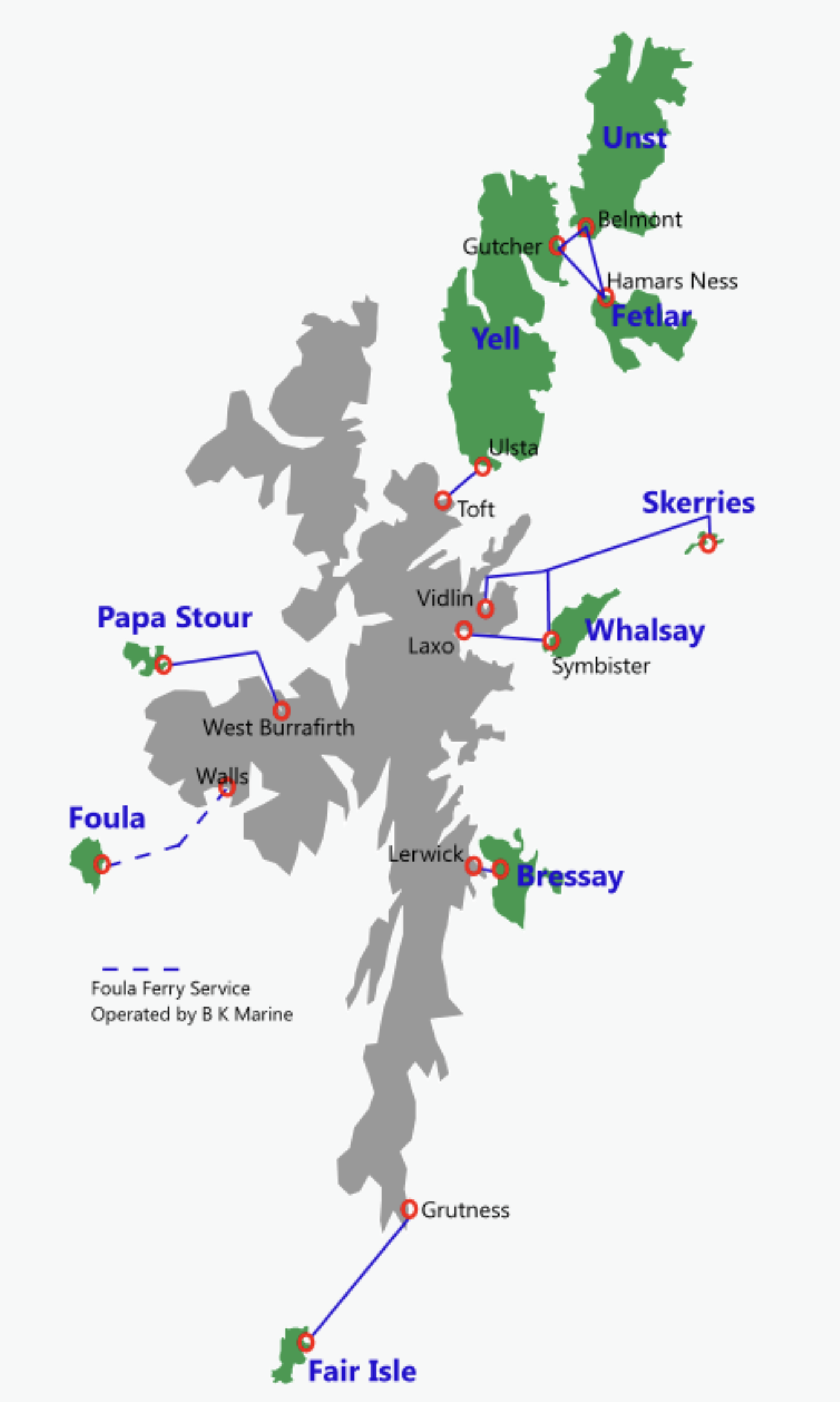
Looking at this map, I would suspect that not all ferries could be replaced by road tunnels.
But if a decision was made to replace ferries with tunnels, thorough cost-benefit analysis would probably show which would be the best value to do first.
These are my further thoughts.
The Faroes
This Google Map shows the Faroes.
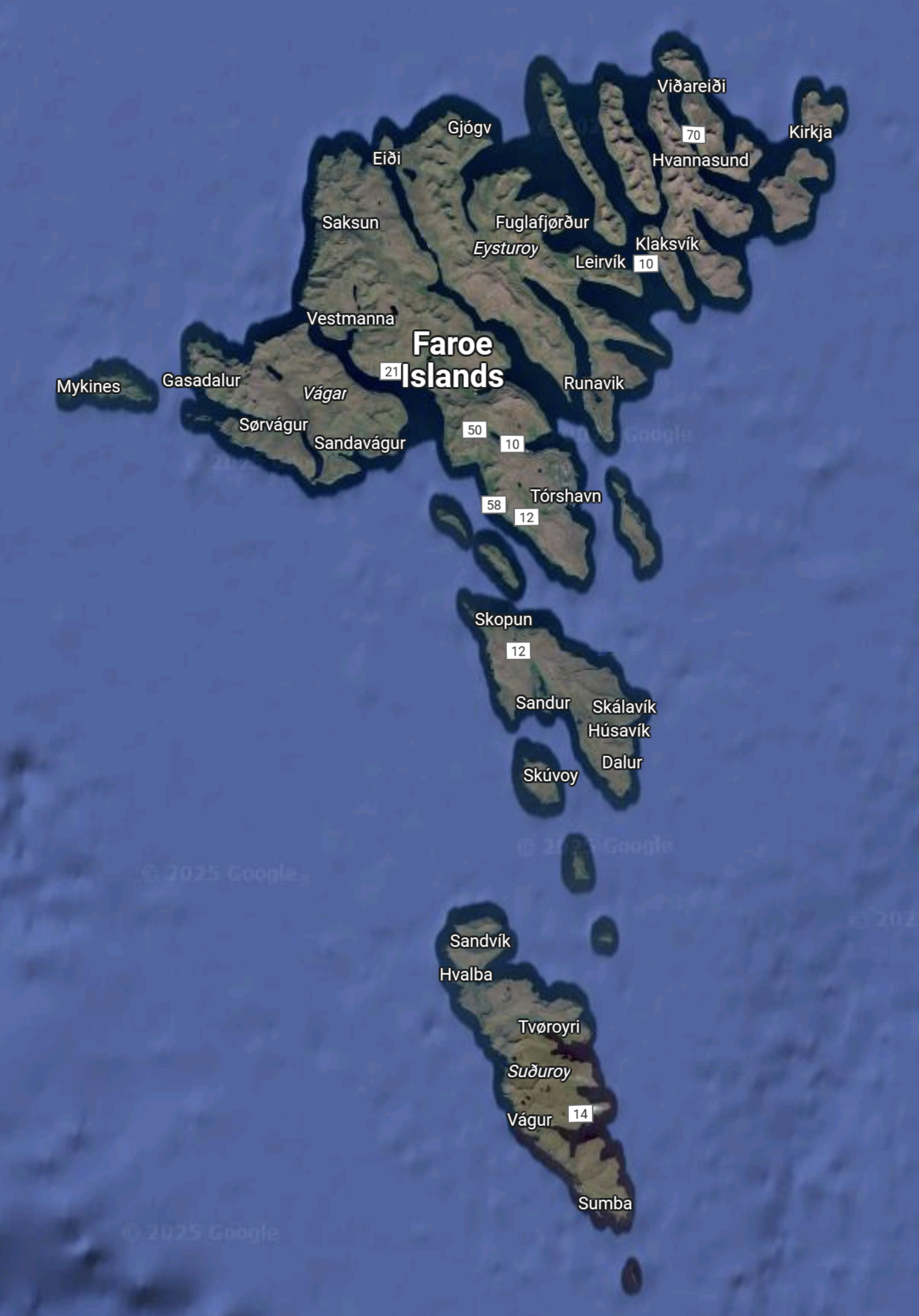
It appears that there may be more land in proportion on the Faroes.
Some Routes Would Not Be Suitable For Tunnels
I would suspect that Grutness and Fair Isle could fall into this category.
These paragraphs on the Shetland web site describe how to get to Fair Isle.
The ferry ‘Good Shepherd IV’ carries 12 passengers and takes 2.5 hours. It leaves from Grutness Pier at the southern tip of Shetland and once a fortnight (summer only) from Lerwick. Please note that this is not a car ferry. View the timetable on the Ferry Services website.
Most flights leave from Tingwall Airport, six miles west of Lerwick, and takes around 25 minutes. The flights operate three times a week and, from April to October, there is also weekly service from Sumburgh (April – Oct). View the timetable on the Airtask website.
Yachts can tie up at the North Haven, with a small nightly charge for use of the harbour.
The Wikipedia entry for the Good Shepherd IV gives more details of the thirty-one year old ferry and its replacement which is due next year, after being funded by the UK Government.
It seems to me that the correct course of action has been taken for the Fair Isle ferry.
Building The Tunnels
These paragraphs from the BBC article, describe how the Faroese tunnels were built and discuss how the same techniques could be used in Shetland.
“It’s about ambition,” says tunnel builder Andy Sloan, whose company worked on part of the Faroese tunnel project.
He adds the islands have led the world “in connecting an archipelago in the middle of the North Atlantic through blood, sweat and tears – and focus.
“They have delivered a remarkable piece of infrastructure,” says Mr Sloan, who is executive vice-president of engineering firm COWI.
It is now advising Shetland Islands Council on the technicalities and financing of tunnels.
The Faroese tunnels were constructed using a technique known as drill and blast – where holes are drilled in rock, explosives are dropped in, and the rubble is then cleared away – which Mr Sloan says could also be used in Scotland.
“Without doubt, Shetland can copy what has been achieved in these islands,” he adds.
I would add, that in recent years, we have successfully built many tunnels in the UK.
At the present time, we are building the 23 mile Woodsmith Mine Tunnel, through rock near Whitby.
This will surely be bigger than anything needed on Shetland.
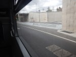
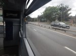
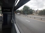
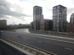
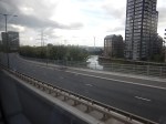
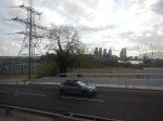
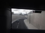
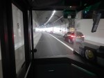
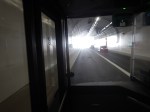
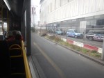
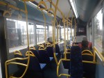
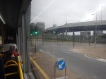
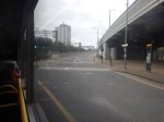
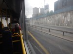
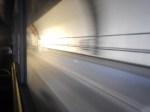
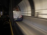
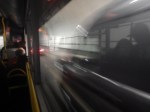
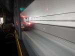
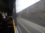
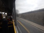
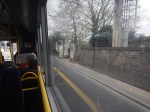
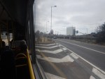
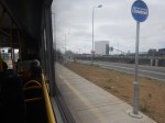
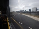
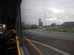
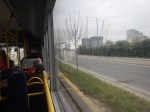
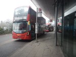
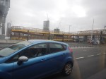
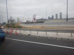
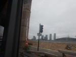
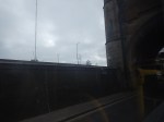
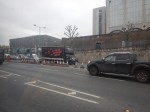
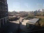
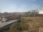
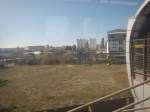
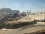
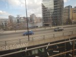
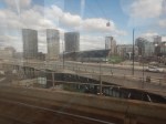
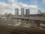
Between East India And Blackheath Stations Through The Silvertown Tunnel In the Rush Hour
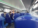
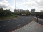
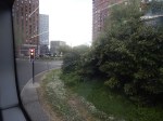
Today, I went South between East India and Blackheath stations, through the Silvertown Tunnel, in a Southerly direction.
These were the pictures I took on the way.
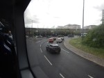
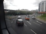
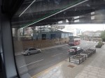
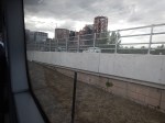
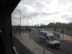
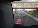
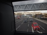

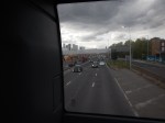
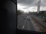
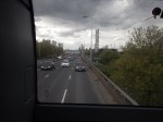

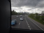
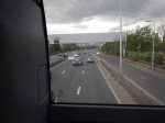
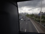
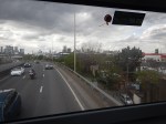
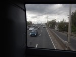
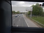
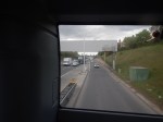

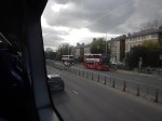
Note.
- The SL4 buses are every few minutes.
- I sat at the back of the top deck on the right hand side.
- As the bus came out of the tunnel, I knelt on the seat looking out of the back of the bus.
- I arrived at Blackheath station about 17:30.
- The London Marathon preparations can be seen on Blackheath.
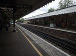
- The last three pictures show Blackheath station.
There was around twenty passengers on the top deck most of the way.
I changed at Peckham Rye station for Dalston Junction station and home.
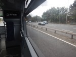
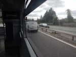
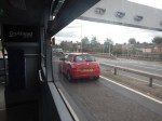
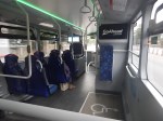
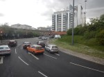
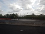
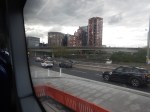
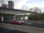
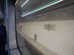
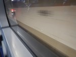
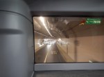
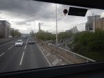
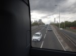
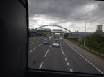
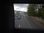
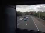
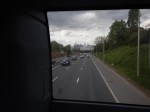
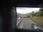
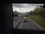
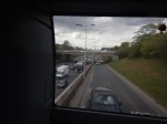
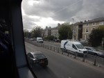
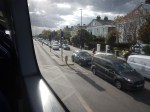
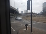
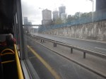
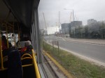
Is The Silvertown Tunnel A Silver Elephant?
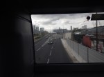
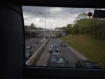
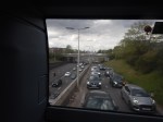
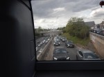
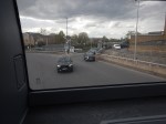
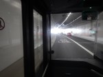
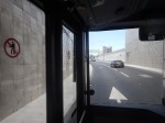
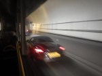
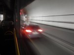
I have been through the Silvertown Tunnel several times now and every time the bus has never really slowed for lots of traffic.
I went through this morning on Easter Sunday and these pictures show all the other traffic I saw.
Note.
- I was sitting in the front passenger seat of a 129 bus, which is on the left of the bus.
- We were going from South to North through the Silvertown Tunnel.
- I could read the driver’s speedometer and it showed within a mile per hour of thirty all the way.
- We were passed by only one car in the tunnel.
- There were about a dozen passengers on the lower deck of the bus.
- I didn’t check how many were on the top deck of the bus.
Even on an Easter Sunday, I would have thought the service would have been busier.
Is The Silvertown Tunnel A Silver Elephant?
There are two answera to this question.
- Yes – A lot of money has been spent for just a few cars and bus passengers to have an easy ride through the tunnel.
- No – As traffic is flowing freely through the tunnel, it shows the tunnel is doing its job and freeing up traffic in East London.
But whatever view you take, a lot of money has been spent for a small number of vehicles and passengers to pass through the tunnel.
I also suspect very little extra revenue is being generated.
The Jubilee Line Was Busy
The complete route I took this morning was as follows.
- Home To Angel – 38 bus – Not very busy.
- Angel to London Bridge – Northern Line – Not very busy.
- London Bridge to North Greenwich – Jubilee Line – All seats taken.
- North Greenwich to West Silvertown – 129 bus – Not very busy.
- West Silvertown to Canning Town – Docklands Light Railway – Not very busy.
- Canning Town to Canada Water – Jubilee Line – All seats taken.
- Canada Water to Dalston Junction – Overground – Not very busy.
- Dalston Junction to Home – 30 bus – Not very busy.
Note.
- Only the sections on the Jubilee Line were really busy, with all seats taken.
- London Bridge, Stratford and Waterloo stations on the Jubilee Line are also busy National Rail stations.
- London Bridge, Canada Water, North Greenwich, Canning Town and Stratford all have large modern well-designed bus stations within easy walking distance of the Jubilee Line.
- Given, that there is now a charge to cross the river, have a lot of people decided to take the Jubilee Line rather than their car to go to the O2 at North Greenwich and the Olympic Park and Eastfield at Stratford?
I strongly feel, that more capacity is needed on the Jubilee Line, as no matter what time I use it, I never seem to get a seat.
Taking The Dover Road
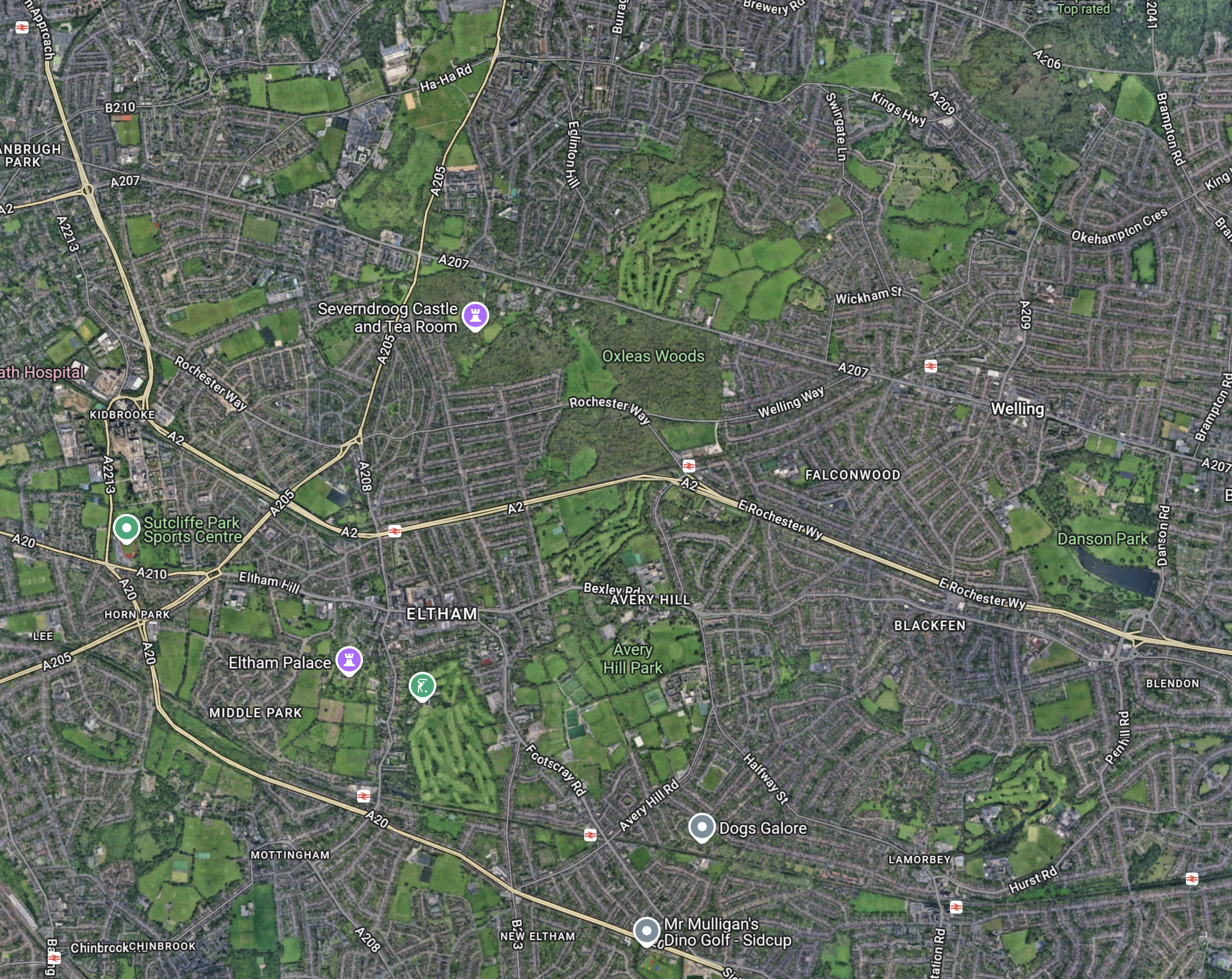
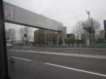
This Google Map shows how the A2 ( the Dover Road) links up with the Silvertown and Blackwall Tunnels.
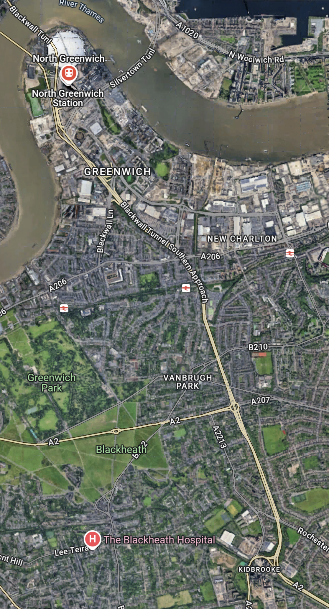
Note.
- The O2 in the North-West corner of the map, with North Greenwich station in red under it.
- The Blackwall Tunnel crosses the river to the North-West of the O2.
- The Silvertown Tunnel crosses the river to the East of the O2.
- Running diagonally across the map is the Blackwall Tunnel Southern Approach, which also serves the Silvertown Tunnel.
- The station to the West of the Southern Approach is Westcombe Park station.
- Click the map to show it to a larger scale.
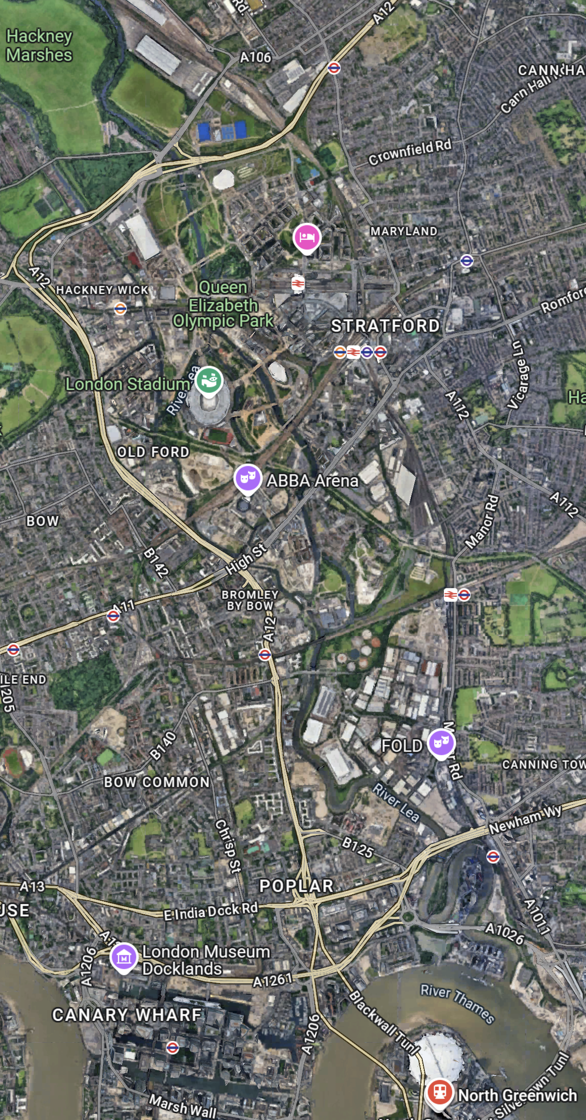
This second Google Map shows the O2, North Greenwich station and the approaches to both tunnels.
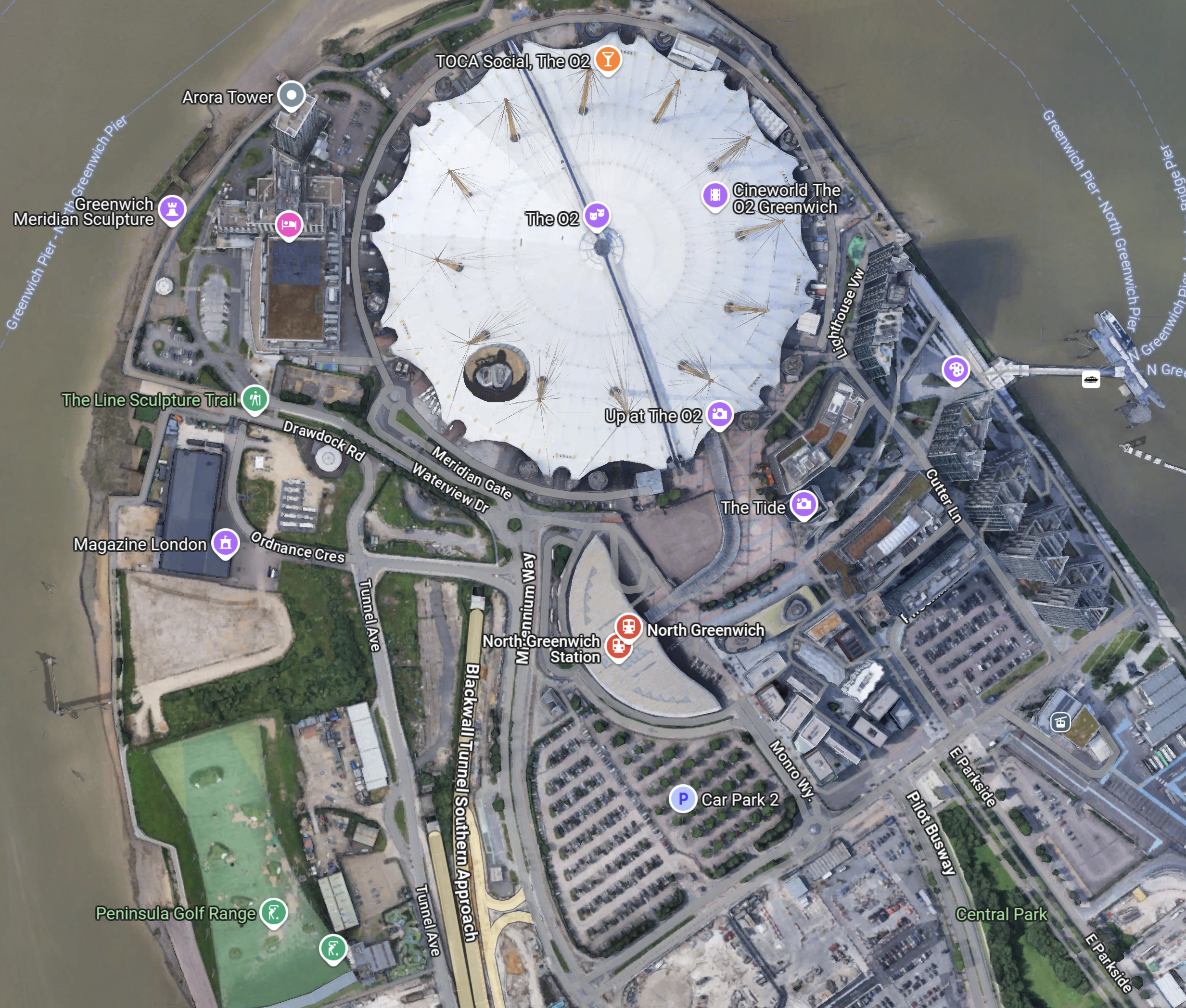
Note.
- The half-moon-shaped building is North Greenwich station.
- The tunnel approaches are rather complicated, but seem to be working well.
- There is lots of car parking.
- The Blackwall Tunnel Southern Approach leaves the tunnles in a Southerly direction.
- Click the map to show it to a larger scale.
This third Google Map shows how the A2 (Dover Road) and A20 (Folkestone Road) link up to the Blackwall Tunnel Southern Approach.
Note.
- The station in the North-West corner of the map is Westcombe Park.
- The road running diagonally South-East from the corner is the Blackwall Tunnel Southern Approach.
- The Blackwall Tunnel Southern Approach then turns East to join with the A2 (Dover Road).
- The Blackwall Tunnel Southern Approach also links up with the A20 (Folkestone Road) , which is the other road running diagonally at the bottom of the map.
In some ways, I am rather surprised at how little traffic is passing through the tunnels given this double dual-carriageway/motorway connection to East Kent, the Channel Tunnel and the Continent. It also has a double connection at both the A2 and A20 to join the M25.
Perhaps, it does mean that the charges are frightening drivers away.
The Roads To The North
This Google Map shows the main approach road to the Blackwall Tunnel.
Note.
- The O2 and North Greenwich station in the South-East corner of the map.
- The Blackwall Tunnel crosses the river to the North-West of the O2.
- The A12 dual-carriageway runs North up the Lea Valley through Hackney.
- There is a dual-carriageway/motorway box formed by the M11 in the West, A12 in the East, M 25 in the North and A 406 in the South to speed traffic on its way, including to the two main routes to the North; the M1 and the A1.
I have lived for thirty years of my life in North London, and I feel, that although the roads to the North of London could be improved, I don’t suspect they are the reason drivers are not using the Silvertown and Blackwall Tunnels.
I would suspect that drivers don’t like or trust the charging system, or could it be that the public transport system in London and especially the East of London is too good?
But we do need to increase the capacity of the Jubilee Line either directly or would a high-capacity bus-route shadowing the line, be able to add the extra capacity needed?
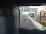
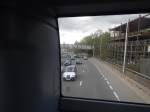
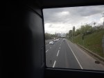
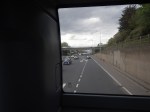
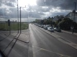
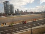
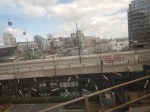
Checking The Traffic In The Blackwall Tunnel
In A Return Journey Through The Silvertown Tunnel On A 129 Bus, I observed that there wasn’t much traffic in the Silvertown Tunnel, but that it might be in the Blackwall Tunnel.
So this morning, I went through the Blackwall tunnel to check and took these pictures.
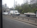
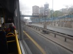
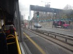
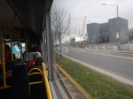
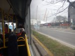
Note.
- I caught the 108 bus from bus stop F, which is opposite the taxi rank at Stratford station.
- The bus went round parts of the Olympic Park to pick up passengers.
- There was quite a bit of traffic slowing my journey before the Blackwall Tunnel.
- I went Southbound first in the modern tunnel buiult in the 1960s.
- I turned round at North Greenwich station, as the bus was crowded and I wanted a good seat from on return, from which to take pictures.
- I came back in the Northbound tunnel, which dates from the 1890s.
But I achieved my objective and found that the Blackwall Tunnel was taking more vehicles than the Silvertown Tunnel. Even the buses were taking more passengers!
I have further thoughts.
I Don’t Like The Blackwall Tunnel
Consider.
- We were going to my Uncle Bert’s house in Broadstairs one day, when I was about eight.
- In those days of the 1950s, there was only one bore of the tunnel and we got stuck in it, for a couple of hours.
- I don’t remember using the tunnel again and I suspect we probably used Tower or London Bridge.
The last time I used it in a car, was coming back from Gatwick to when we lived just North of Ipswich and the Dartford Crossing was blocked. So I cut through South-East London, drove through the Blackwall Tunnel and up the A12.
If I Was A Driver I’d Probably Take The Silvertown Tunnel
Unless of course there was a problem!
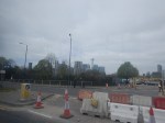
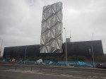
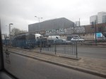
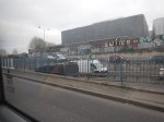
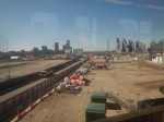
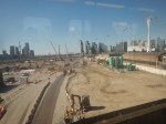
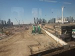
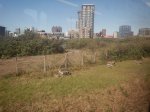
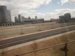
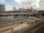
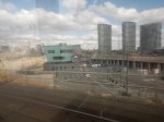
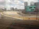
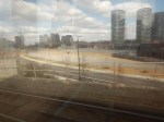
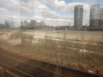
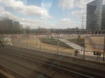
Development To The West Of The North Entrance Of The Silvertown Tunnel
This Google Map shows the site to the West of the North entrance of the Silvertown Tunnel.
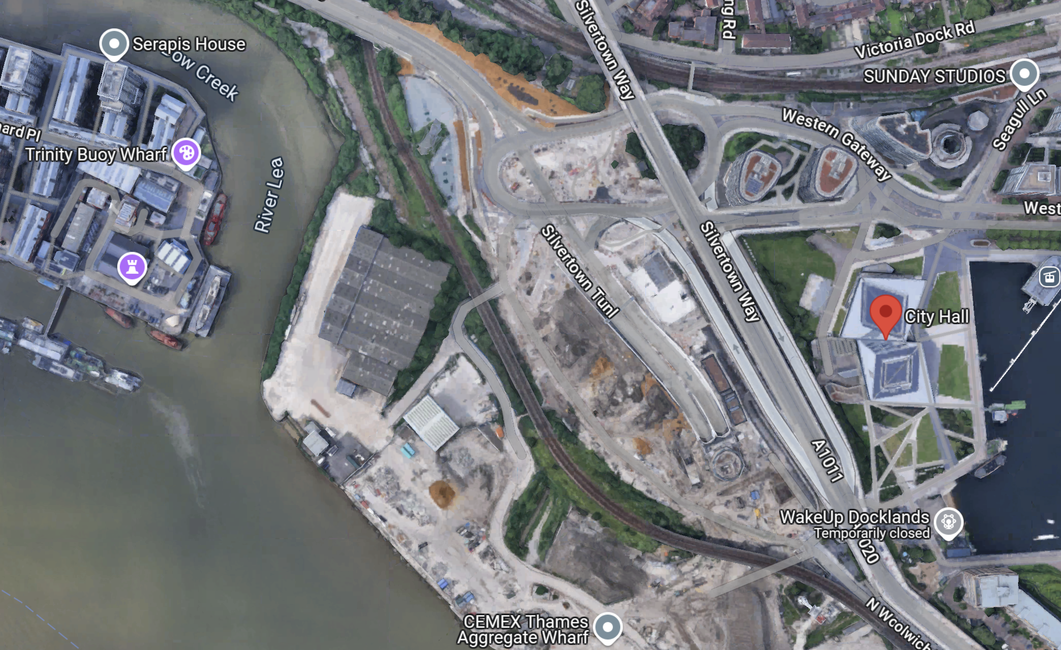
Note.
- The red arrow indicates City Hall.
- There is a large site between the DLR and the river.
- The Docklands Light Railway separates the site from the North entrance of the Silvertown Tunnel.
- The CEMEX Thames Aggregate Wharf seems to occupy part of the site.
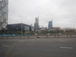
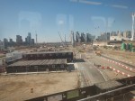
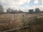
This picture shows the North entrance of the Silvertown Tunnel from the cable-car.
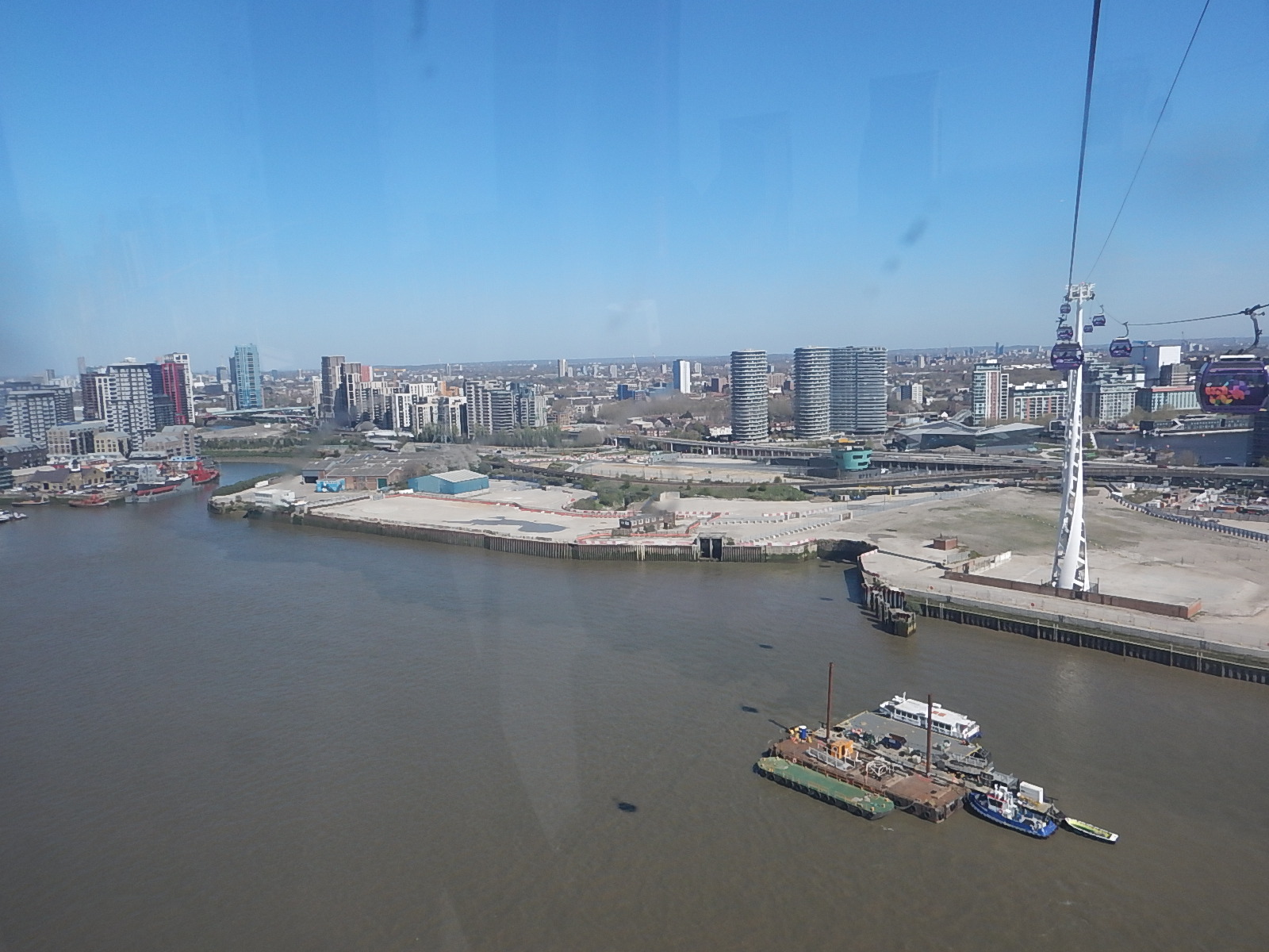
It is surely a site with development potential, as Roy Brooks would say.
It will probably be used for more tower blocks along the Thames.
But could it be used for a coach station to handle the increasing number of coaches between London and the Continent?
- A Docklands Light Railway station could be built to serve the site.
- Thames Clippers could also serve the site.
- Coaches could use the Silvertown Tunnel to start their journey out of the capital.
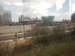
I added these pictures, that were taken of the site from the Docklands Light Railway, a day later.


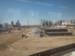
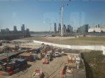
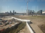


The site certainly has development potential.
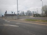
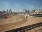
Silvertown Tunnel Works – 15th March 2025
I did two runs on the Docklands Light Railway past the Silvertown Tunnel Site.
These pictures were taken on the run to City Airport.

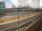
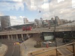
And these were taken on the return to Canning Town station.

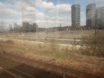
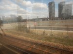
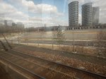

The tunnel certainly looks to be on course to open on April 7th.
When Silvertown Opens, Blackwall Tolls Start Too
The title of this post, is the same as that of this article on the BBC.
This is the sub-heading.
In under a month, tolls will be introduced for drivers at the new Silvertown Tunnel and the existing Blackwall Tunnel in east London.
These four paragraphs add detail to the story.
For car drivers it will cost £8 a day in peak. These are huge changes to London’s transport network and awareness seems to be low.
The new highly controversial Silvertown Tunnel opens on 7 April.
Critics have dubbed the crossing a huge polluting white elephant that will do nothing to cut congestion and pollution with little or no business case.
Supporters say it will reduce congestion on the old, existing Blackwall Tunnel and improve resilience on the crossing that closes between 600-700 times a year. It will also provide more cross river bus routes as well as a bus that can carry bikes.
As a very experienced mathematical modeller, my gut feeling is that four new tolled lanes under the River Thames is not the solution.
These are my thoughts.
Transport for London Are Not Good Mathematical Modellers
As a non-driver, I rely heavily on the 141 bus for transport.
- It stops close to my house.
- It takes me to and from Moorgate, where I also pick up the Elizabeth Line.
- It takes me to and from Bank, where I also pick up the Central Line.
- It takes me to and from River Thames, from where I pick up the Thames Clippers.
- It takes me to and from London Bridge station, where I also pick up theThameslink.
- It takes me to and from Manor House station, where I pick up the Piccadilly Line.
- It takes me to and from Harringay Green Lanes station, where I pick up the Gospel Oak to Barking Line.
I must admit some of the reasons I like the bus route, are that it connects me to my childhood memories of WoodGreen, Southgate, Oakwood and Cockfosters.
When, I moved here, there were two North-South buses that ran within fifty metres of my house.
- The 21 bus ran between Newington Green and Lewisham.
- The 141 bus ran between Palmers Green and London Bridge station.
Then, two years ago the Elizabeth Line and the rebuilt Bank station both opened, followed a year later by an upgraded Old Street station.
These three improvements, added a lot more passengers to the North-South corridor, between London Bridge station and Newington Green roundabout.
I suspect a quality modelling of bus passengers North-South, through the city of London, would have shown, that more buses were needed on the combined 21/141 route.
So what did Sir SadIQ and Transport for London do? They rerouted the 21 bus away from the busiest section through De Beauvoir Town.
In their modelling, I suspect.
- They overestimated how many travellers used the Northern Line.
- They ignored the fact, that the Piccadilly Line doesn’t serve the City of London.
- They ignored the fact, that the Piccadilly Line doesn’t connect to the Elizabeth Line.
- They ignored the fact, that the 141 bus, is the only direct way between Palmers Green, Wood Green, Turnpike Lane and Manor House to the City of London.
- They felt De Beauvoir Town was a posh area and doesn’t need more buses, as residents can use their cars.
Halving the number of buses was a seriously bad decision.
I now have a damaged left knee due to constant standing on overcrowded buses.
It’s also got a lot worse lately due to constant bus diversions and cancellations, due to Islington’s LTNs and constant road works.
I’ve heard similar tales of bad bus planning from all over London.
So why should I trust Transport for London’s traffic modelling on the Silvertown and Blackwall Tunnels?
The Silvertown And Blackwall Tunnel Share Approach Routes
This map from the BBC article shows the layout of the two tunnels and their approach roads.
Note.
- The Blackwall Tunnel is two, two lane tunnels, one in each direction.
- The Silvertown Tunnel is one four lane tunnel, with two lanes in each direction.
- The O2 lies between the two tunnels.
The map shows the shared approach road for both tunnels.
What happens if there is an accident on the approach to the tunnels?
Tolling Problems
I feel that the tolling regime is overly complicated.
Hopefully, any problems this causes will lessen, as drivers know what to do.
The Sat-Nav Route Between The Tunnels And The M1
I’ve just looked one recommended route up, not that I have a Sat-Nav and I’ve never used one and the route is straightforward.
- Blackwall Tunnel Northern Approach to Hackney Wick.
- Wick Lane to Hackney Central.
- Graham Road and Dalston Lane to Dalston Junction
- Balls Pond Road to Southgate Road/Mildmay Park
- St. Paul’s Road to Highbury & Islington station.
- Holloway Road to Archway.
- Archway Road, Aylmer Road and Falloden Way to Henly’s Corner.
- North Circular Road and Great North Way to the M1.
I live just South of the Southgate Road/Mildmay Park junction and often these days it is jammed solid.
But there is another route from Hackney Wick.
- A12 to Redbridge Roundabout on the North Circular Road.
- North Circular Road to the M1.
I dread to see what happens, when the Dartford Crossing is closed and heavy trucks from the Channel Tunnel to the M1, decide to take the Silvertown Tunnel as an alternative route.
‘No Constraints’ On Clapham Junction Tube Extension
The title of this post, is the same as that of this article on the BBC.
This is the sub-heading.
There are no physical restrictions to extending the Northern line to Clapham Junction, an investigation has found.
These are the first three introductory paragraphs.
In a new report, Wandsworth council said there were “no engineering or geological constraints” that would prevent an extension.
The council is now carrying out a public consultation to see whether there is strong local support for the extension.
Clapham Junction, one of London’s busiest stations, is home to the Overground and National Rail services.
The Current State According To Wikipedia
This Wikipedia section, says this about the current state of the extension to Clapham Junction station.
Provision has been made for a future extension of the Northern line to Clapham Junction station, with a reserved course underneath Battersea Park. During the public inquiry into the extension in 2014, the inspector noted that although an extension to Clapham Junction would be desirable, it was unnecessary to meet the needs of the Vauxhall Nine Elms Battersea regeneration area. Additionally, it was noted that an extension to Clapham Junction could overwhelm the extension, due to the high demand.
As part of consultations into Crossrail 2 in 2014, the developer of the Battersea Power Station site suggested that Battersea could be the location of a station instead of at King’s Road Chelsea. This would provide a link between the area and Clapham Junction station. Despite the proposal for the future Crossrail 2 project to serve the station, local residents and politicians have continued to request a future extension of the Northern line to Clapham Junction. In March 2023, Mayor of London Sadiq Khan stated that the “case for an extension is not readily apparent, given Clapham Junction’s existing high levels of connectivity”.
This map from OpenRailwayMap shows the railways that lie between Battersea Power Station and Clapham Junction stations going via Battersea Park.
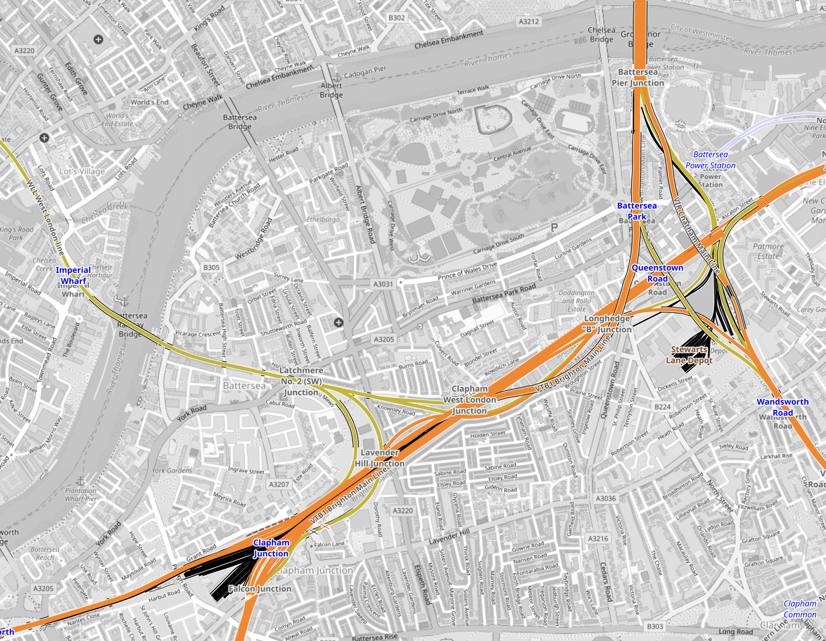
Note.
- Battersea Power Station station is in the North-East corner of the map.
- Clapham Junction station is in the South-West corner of the map.
- The rounded D-shape by the river is the Children’s Zoo in Battersea Park.
Going via Battersea Park is a rather roundabout and long route.
High Speed One and High Speed Two tunnels have and are being bored under existing railways.
This map from OpenRailwayMap shows the railways that lie between Battersea Power Station and Clapham Junction stations.
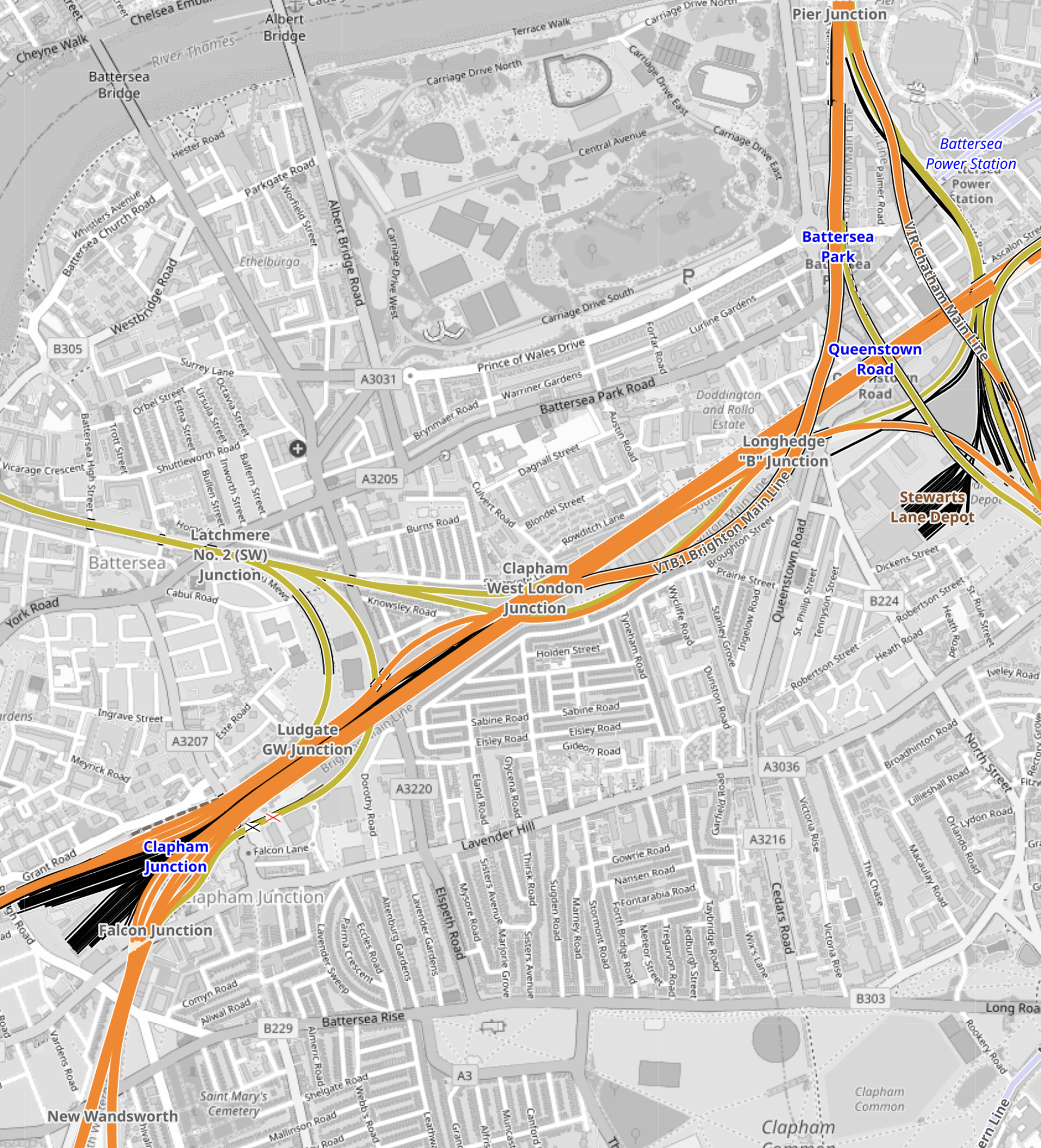
Note.
- Battersea Power Station station is in the North-East corner of the map.
- Clapham Junction station is in the South-West corner of the map.
- The main line between Waterloo and Clapham Junction stations runs diagonally across the map.
- Branching North from this line is the line between Victoria and Clapham Junction stations.
Could an Underground sized railway be bored between Battersea Power Station and Clapham Junction stations?
This map from OpenRailwayMap shows the railways around Battersea Power Station station.
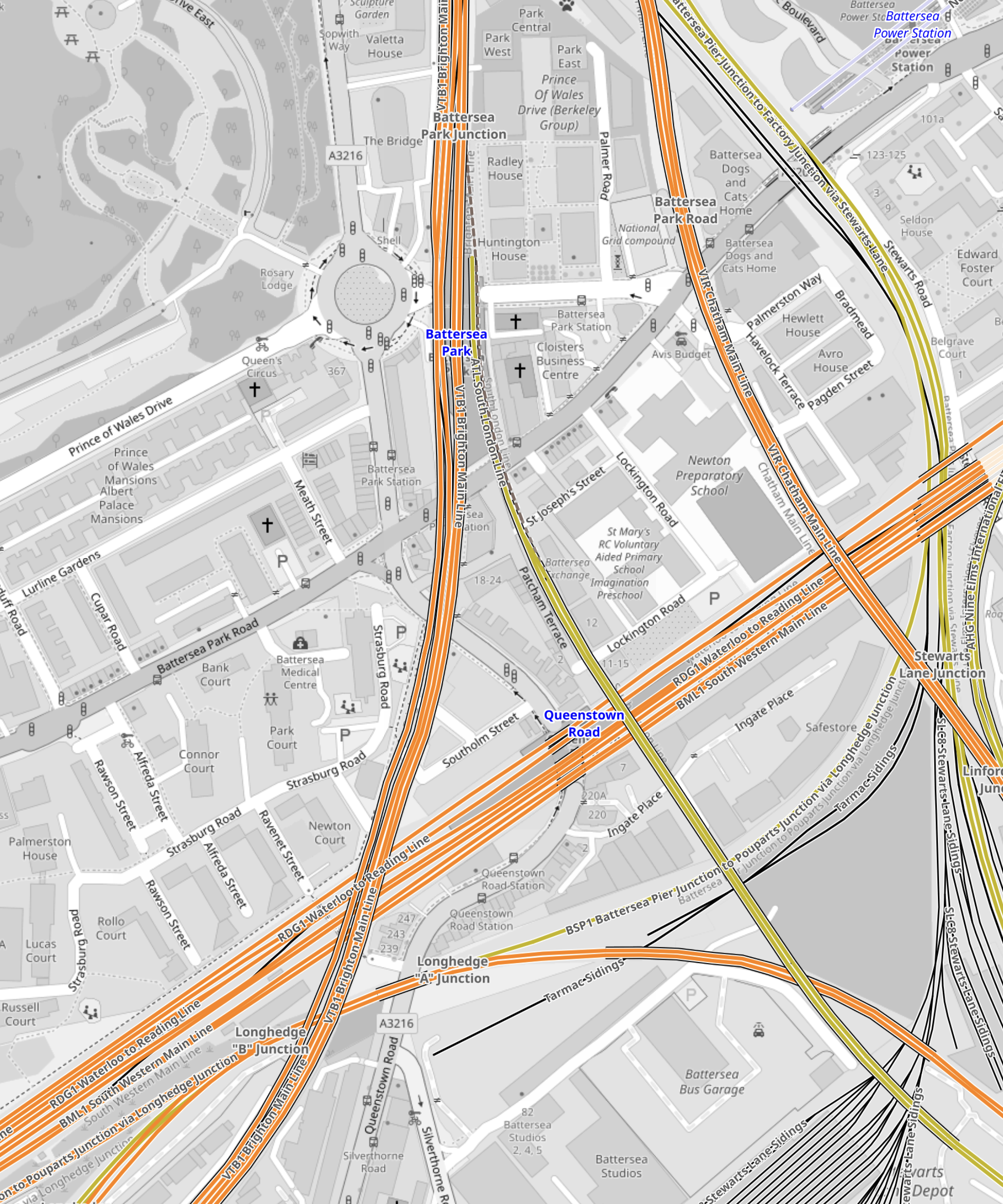
Note.
- Battersea Power Station station is in the North-East corner of the map.
- The orange line going North-South is the line between Victoria and Clapham Junction stations.
I suspect if they used the Irish Tunnelling Method or hand digging, as was used recently at Bank, twin tunnels could be dug from Battersea Power Station station to deep under the Waterloo and Clapham Junction line.
This map from OpenRailwayMap shows the railways around Clapham Junction station.
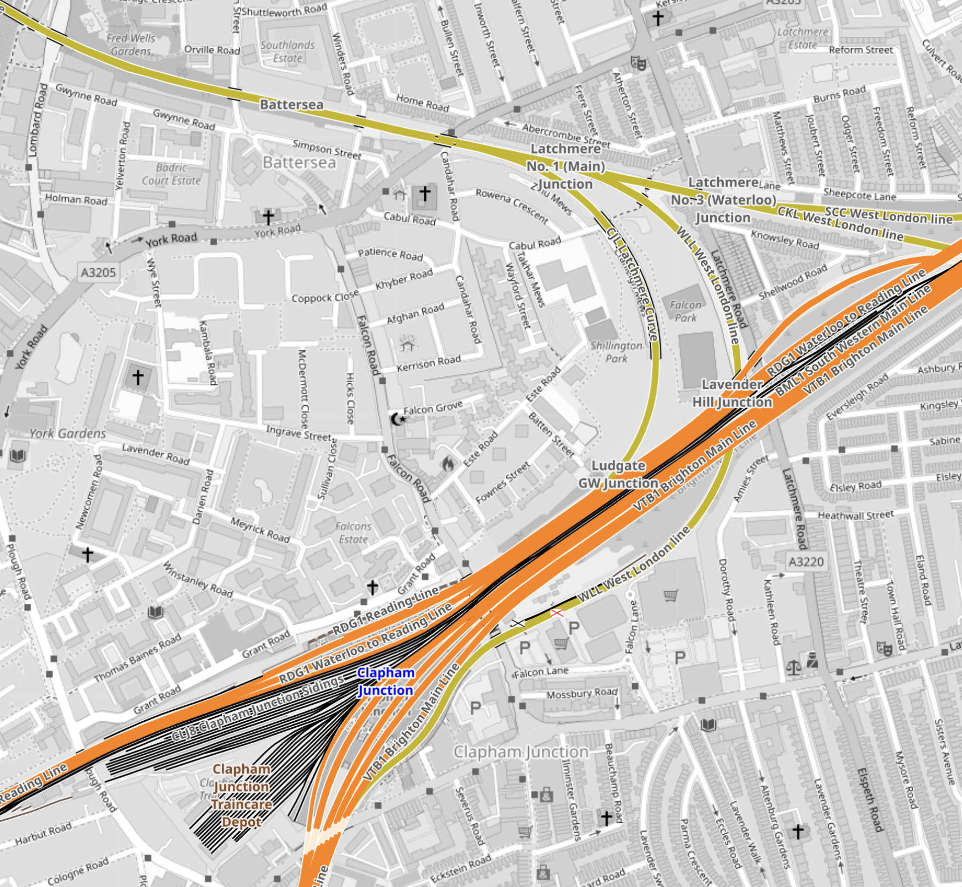
Note.
- Clapham Junction station is in the South-West corner of the map.
- Two deep underground platforms for the Northern Line would be built to the North-East of Clapham Junction station.
- Escalators and lifts would transfer passengers to and from the existing platforms.
- I suspect the Victorian infrastructure is fairly simple and elegant escalators can be threaded through, as they have been at London Bridge station.
I believe that a modern spectacular interchange can be built at Clapham Junction station to connect the National Rail lines with the Northern Line extension at Battersea Power Station station.
