An Avenue Of Trees, Cheered Me Up Today
I was feeling a bit down, after the loss of my phone on a train yesterday, as I cam back from Cambridge South station.
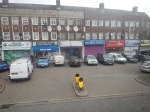
After reporting its loss at Liverpool Street station this morning, I thought I might be able to get something I needed at Sainsbury’s in Walthamstow.
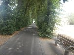
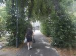
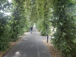
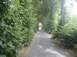
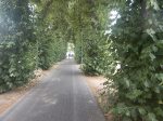
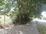
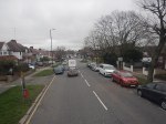
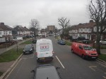
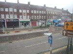
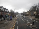
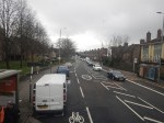
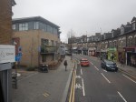
To get from Walthamstow Central station to Sainsbury’s I walked along this avenue of trees.
Note.
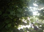
- It was lovely and cool on a hot day.
- There was a gentle breeze through the trees.
- Halfway along, I chatted to a guy with Indian heritage. He said he liked the trees at Chistmas, when the Council put lights on them.Now surely, that is multiculturalism.
I asked Google AI about the trees and got this reply.
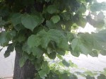
The avenue of mature trees leading from Walthamstow Central Station towards the High Street consists of lime trees. Also locally referred to as Lime Tree Walk, these established trees are well known for soaking up pollution from the adjoining bus and transit areas.
Google AI estimates that the trees are at least a hundred years old.
I believe we should do things like this more often, as it is surely a scientifically-correct way to deal with the pollution of only a few vehicles emitting it.
Out of curiosity, I asked Google AI,”Are we doing research to increase the effectiveness of trees clearing pollution?” and received this reply.
Yes, there is extensive, ongoing scientific research dedicated to increasing the effectiveness of trees at clearing pollution. Studies focus on optimizing urban canopy cover, vegetative barrier design, and microbiome/soil enhancements to maximize both particulate matter (PM) capture and carbon sequestration.
Current research initiatives and findings include:
Vegetative Barriers & Species Traits: Research from the University of Surrey’s Global Centre for Clean Air Research (GCARE) has developed a plant selection framework. By evaluating traits like leaf hairs, canopy density, and seasonal leaf retention, they identify highly effective species (such as silver birch, elder, and yew) to act as physical green barriers that trap particulate matter and filter exhaust.
Tree Spacing & Dispersion: Studies on urban street canyons show that sparse or dense tree spacing can sometimes trap pollutants if the canopy blocks wind flow. However, “medium spacing” (where the gap between trees is roughly equal to the crown diameter) has been proven to optimize both airflow and particle reduction for pedestrians and cyclists.
Soil & Growth Interventions: Studies like the Glandwr Forest Carbon Study by Imperial College London and The Carbon Community are testing methods to boost young tree growth and carbon sequestration using enhanced rock weathering and microbial enrichment.
Cooling & Air Purification Pathways: Recent findings published in Landscape and Urban Planning highlight that trees reduce particulate pollution (PM10) not just by trapping it on leaves, but also through localized cooling. By mitigating extreme heat, trees promote the natural deposition of suspended particles.
It seems that the good citizens of Walthamstow and the nearby forest, probably achieved a result, that was very much in line with modern research.
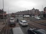
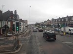
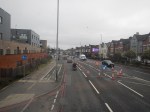
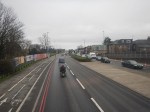
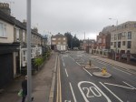
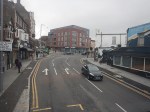
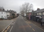
Riding The 34 Bus Between Arnos Grove Station And Walthamstow Bus Station
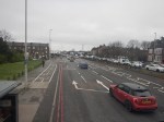
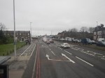
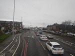
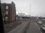
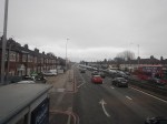
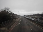
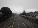
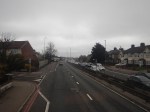
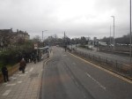
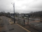
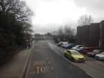
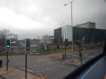
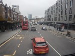
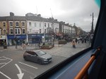
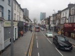
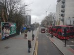
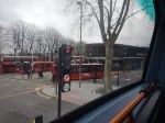
To continue on the route of the Superloop, I needed to get to North Walthamstow bus station, so I took a 34 bus from Arnos Grove station to Walthamstow bus station. I took these pictures.


Note.
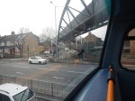
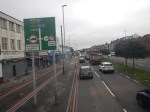
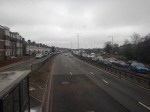
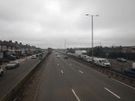
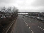
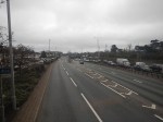
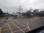
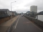
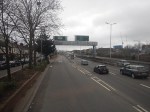
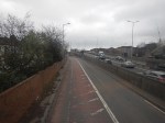
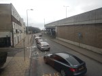
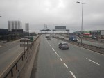
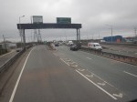
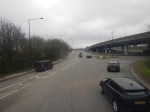
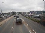
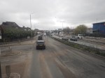
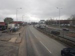
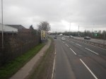
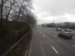
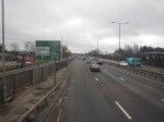
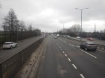
- The route was along the North Circular Road and then into Walthamstow from the Crooked Billet roundabout.
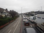
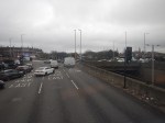
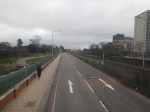
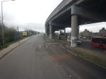
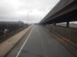
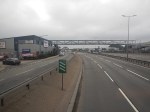
- The North Circular Road was grade separated but quite congested.
- The North Circular Road has a 40 mph speed limit.
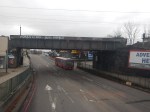
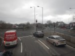
- There was only one station on the route; Silver Street, by the North Middlesex Hospital.
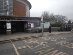
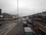
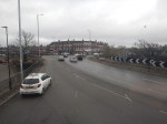
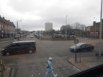
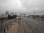
- Walthamstow bus interchange is by Walthamstow Central station and has reasonable amounts of space.
The journey took about 67 minutes.
I have two thoughts.
The Route Of The Bus 34 Could Be Part Of The Superloop
I feel my journey today, proved that this would be part of a feasible Superloop leg between North Finchley and Walthamstow Central bus stations.
This Google Map shows the route between North Finchley bus station and Arnos Grove Underground station.
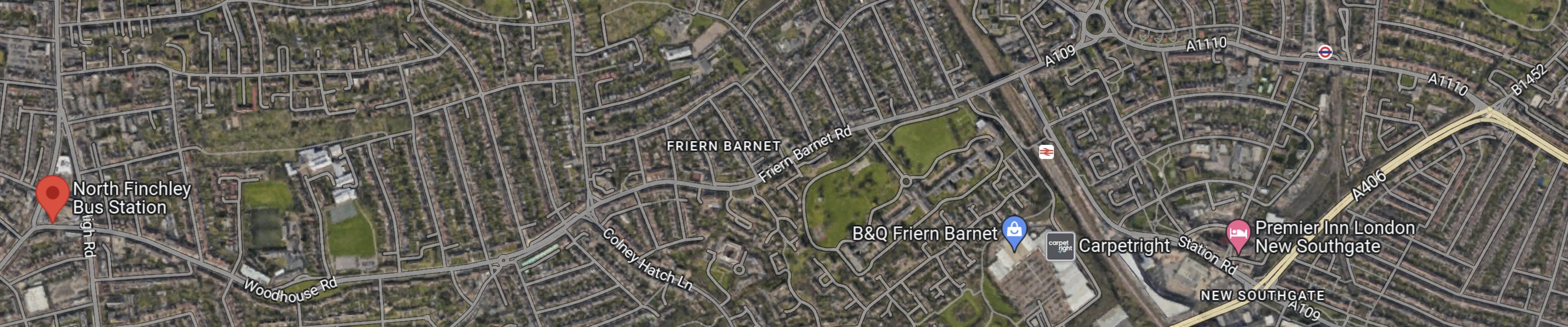
Note.
- North Finchley bus station is shown by the red arrow!
- Arnos Grove Underground station is shown by an Underground roundel in the North-East corner of the map.
- The light yellow road at the East side of the map is the North Circular Road.
There would appear to be a road connecting North Finchley bus station and Arnos Grove Underground station, that runs across the top of the map.
The road passes to the North of New Southgate station, which could be one of the Northern termini of Crossrail 2.
Edmonton
This Google Map shows the North Middlesex University Hospital.
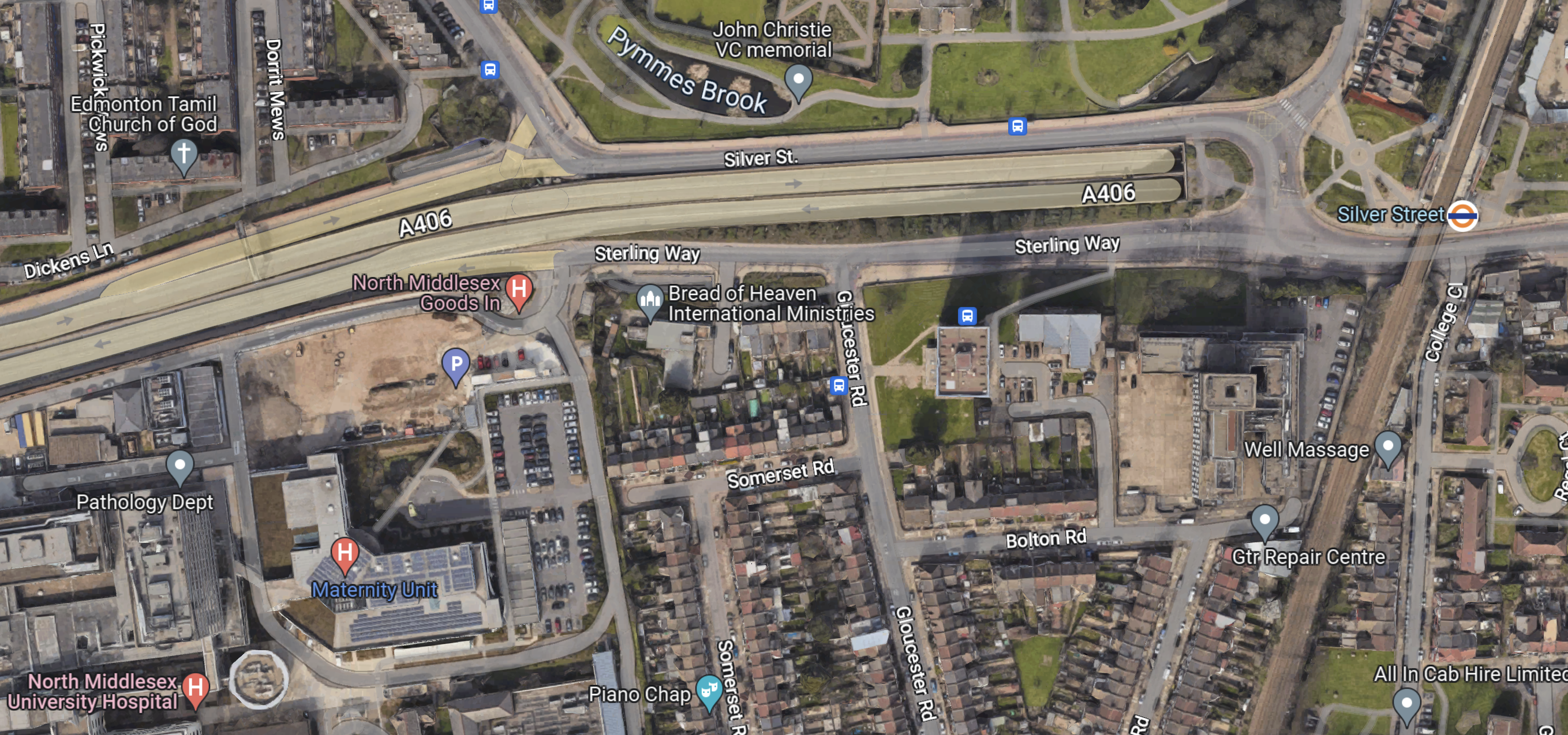
Note.
- The North Circular Road running across the map.
- The North Middlesex University Hospital in the South-West corner of the map.
- The London Overground and Silver Street station in the East of the map.
- There are several bus stops in the area.
This area could be turned into a comprehensive and very useful transport interchange.
Conclusion
The Superloop leg between North Finchley and Walthamstow Central bus stations has possibilities.
