Manchester Metrolink Will Be Going To The Trafford Centre
According to this article on Global Rail News, the Manchester Metrolink has been given permission and funding to build the Trafford Park Line.
This is a map of the line.
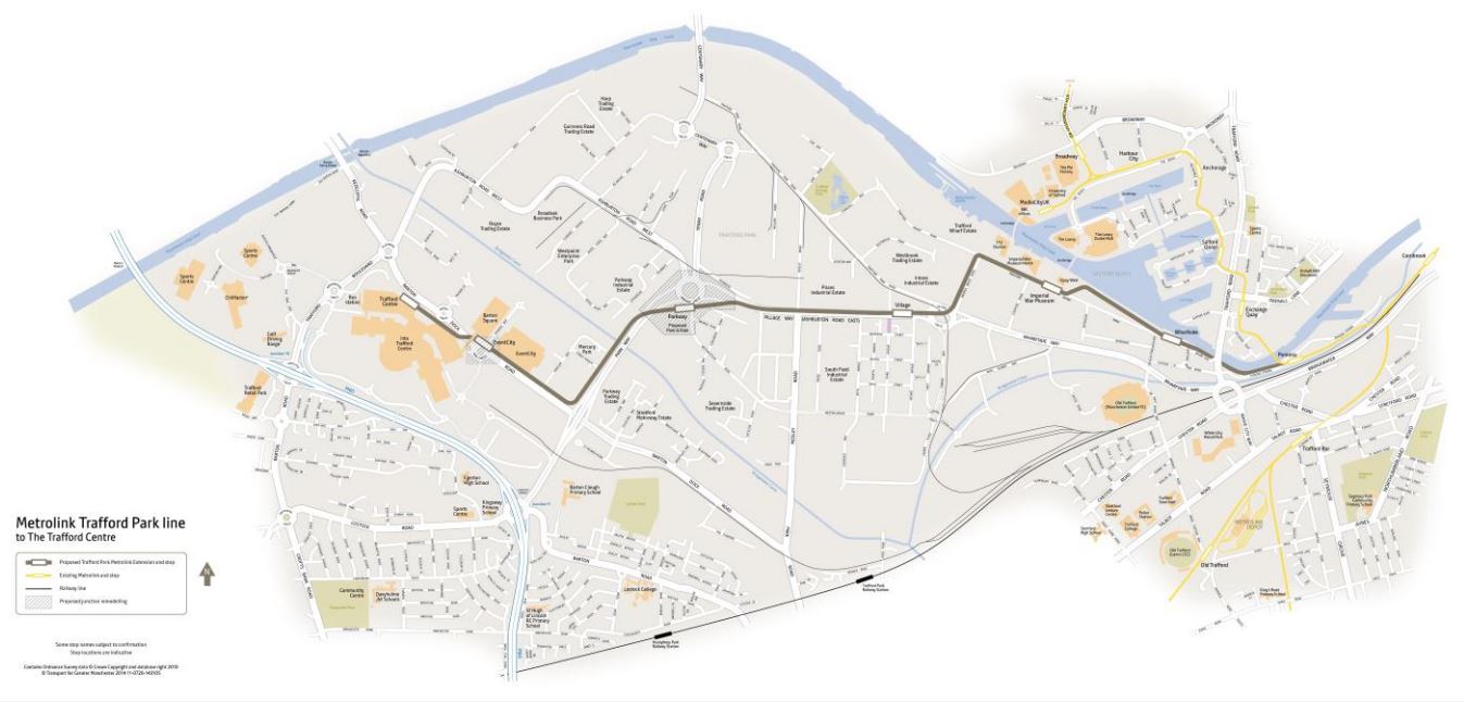
Trafford Park Line
It calls at these stops.
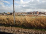
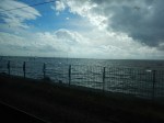
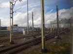
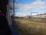
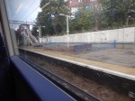
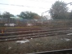
Pomona
This Google Map shows Pomona tram stop.
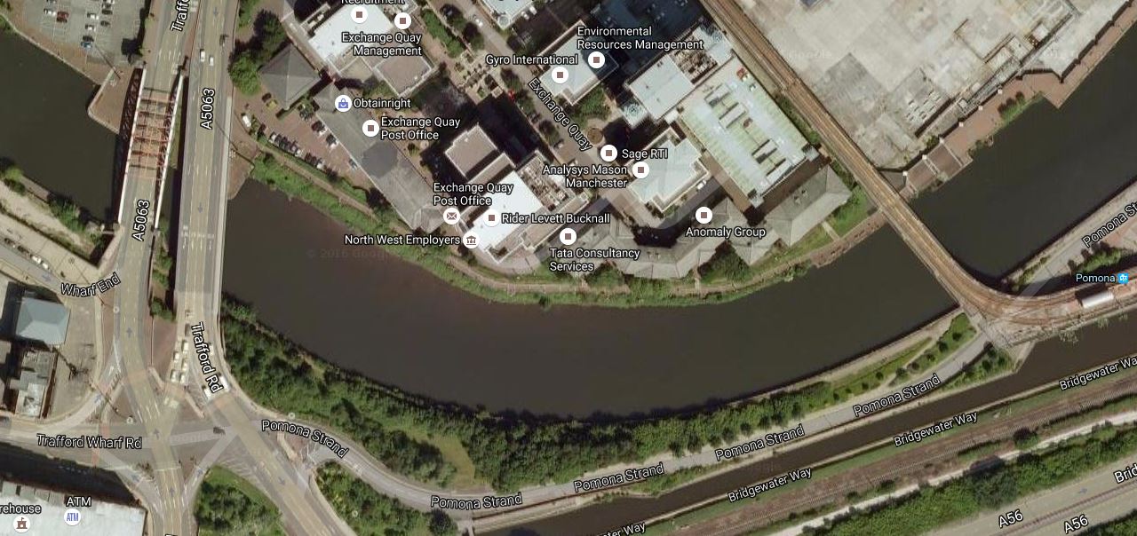
Pmona Tram Stop
The stop is at the far right and the rightmost bridge carries the tram over the water.
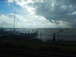
This second Google Map shows Note how the stop has been built to allow a junction with the Trafford Park Line.
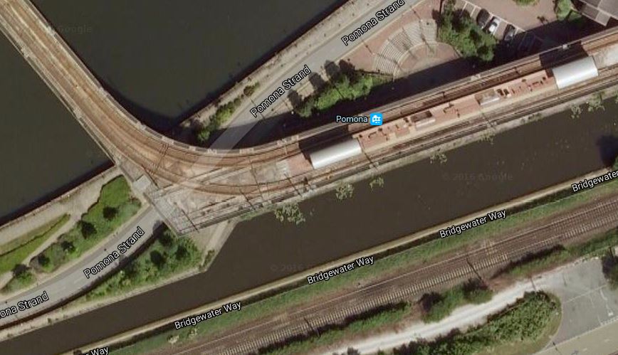
Pomona Tram Stop In Detail
The Trafford Park Line appears to continue along the edge of the water.
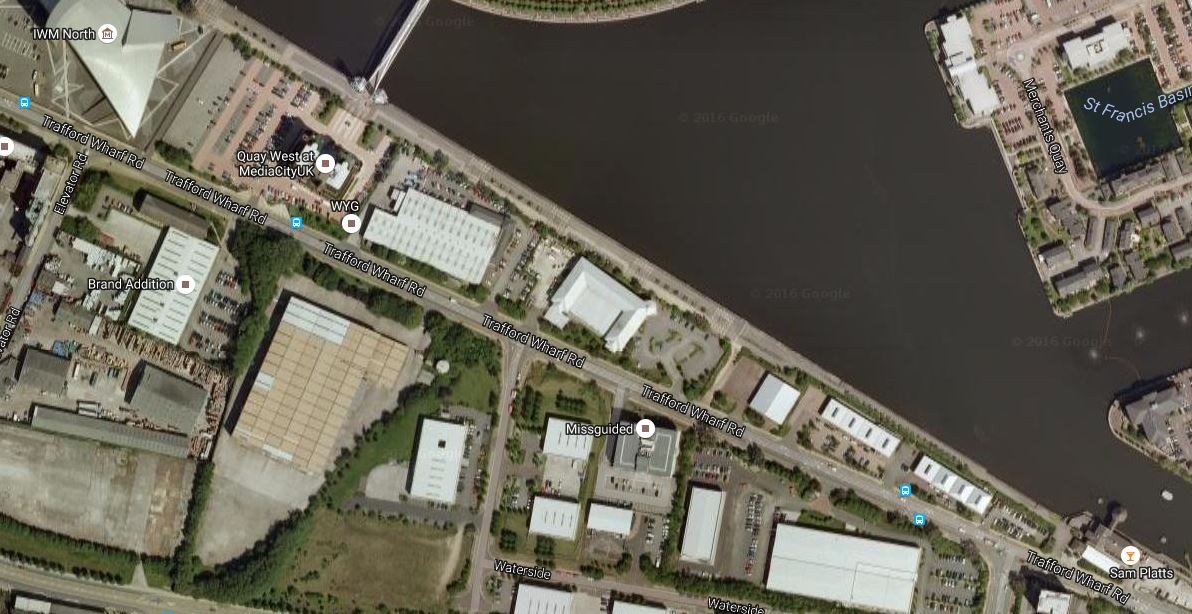
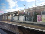
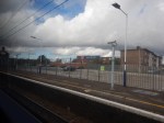
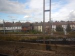
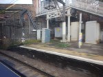
Wharfside
This Google Map shopws the location of the Wharfside tram stop close to Old Trafford.
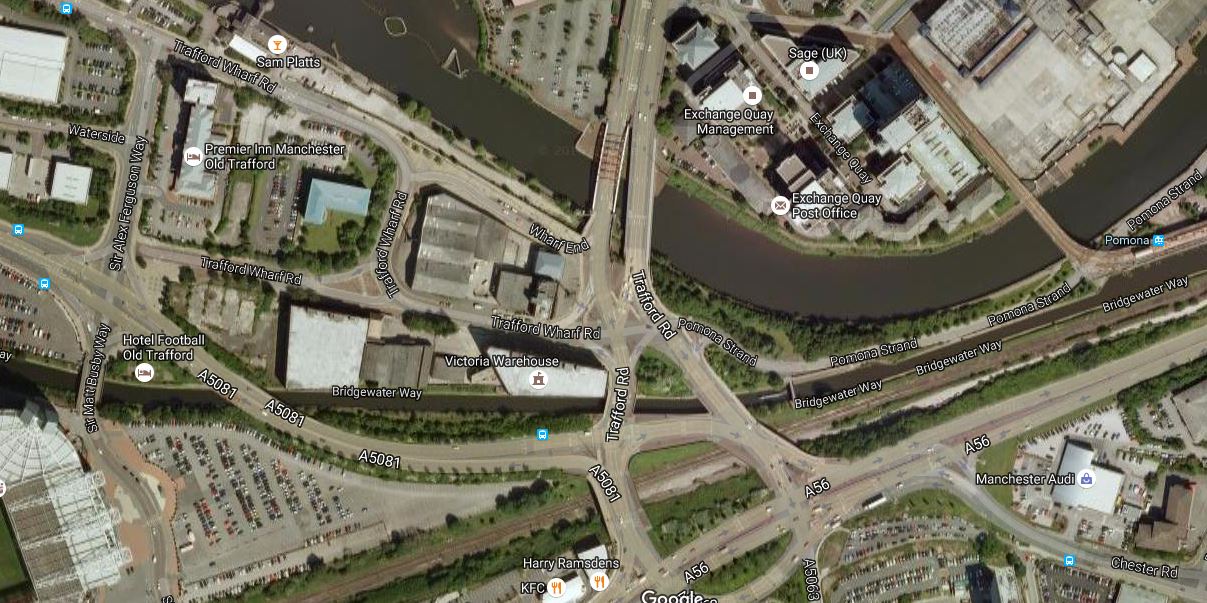
Wharfside Tram Stop
It is on Trafford Park Road, probably between the water and the Premier Inn.
Note Old Trafford in the bottom-left corner.
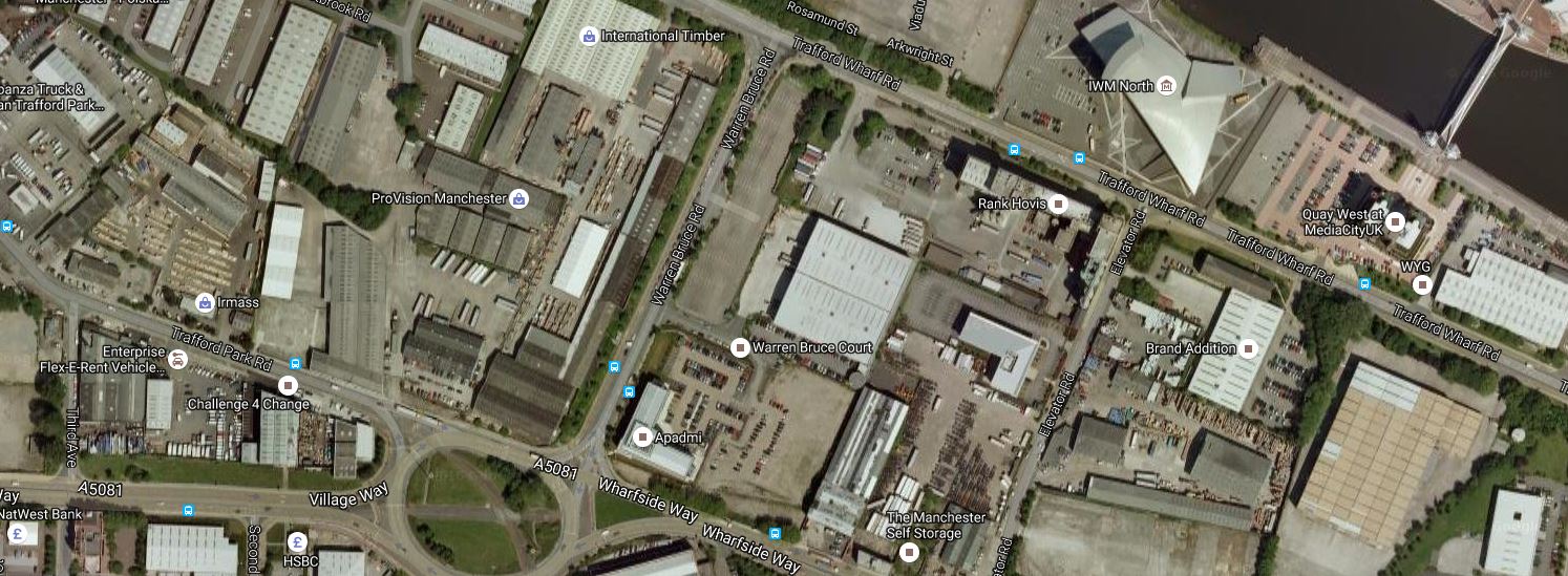
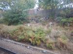
Imperial War Museum
ThisGoogle Map shows the route between Wharfside and the Imperial War Museum tram stop.
Imperial War Museum Tram Stop
The stop appears to be on Trafford Park Road, by the footbridge at the top of the map..
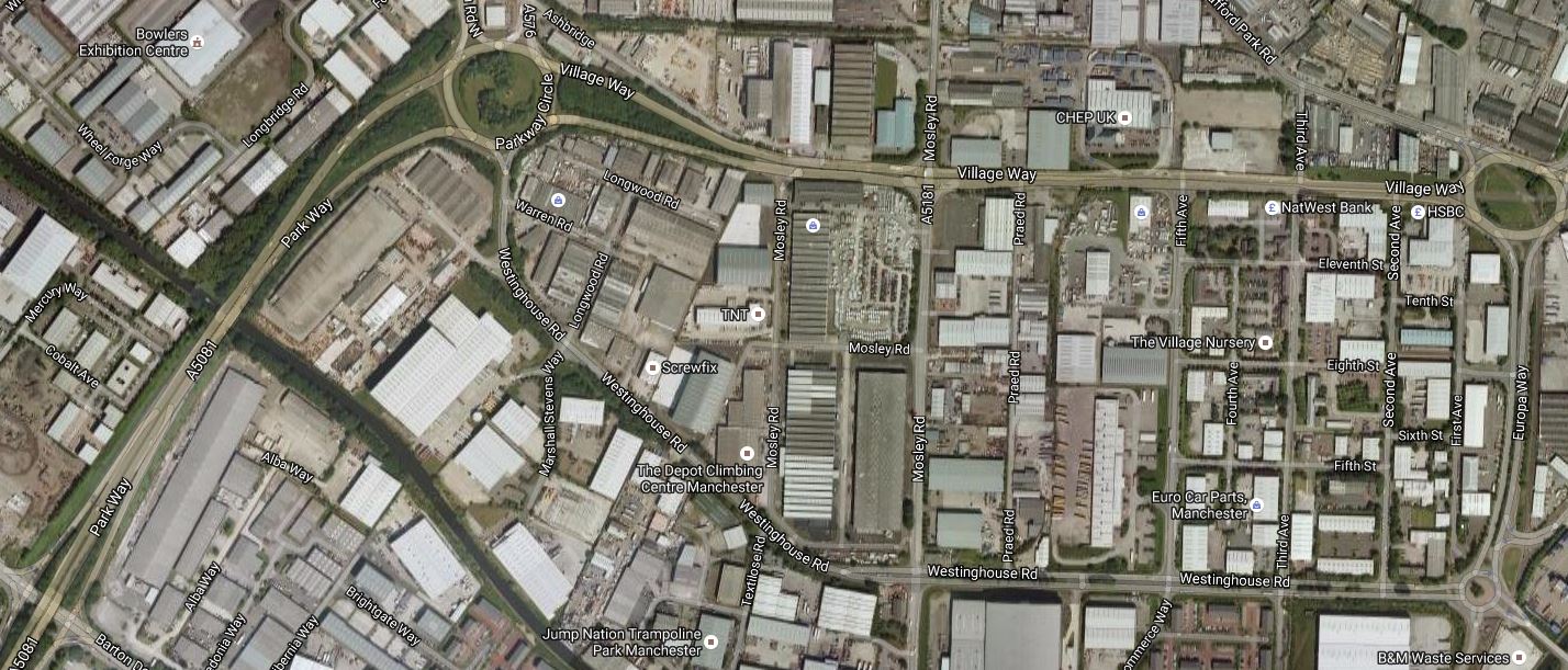
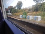
Village
This Google Map shows the route between the Imperial War Museum and the Village tram stop.
Village Tram Stop
The Imperial War Museum is at the top of the map and the Village tram stop will be on the road leading .West from the rpundabout at the bottom.
Parkway
This Google Map shows the route between Village and the Parkway tram stop.
Parkway Tram Stop
The Parkway stop is in towards the Southern side of Parkway Circle, which is the circle at the top towards the left.
Village tram stop is to the West of the other circle and the tram line goes along Village Way to Parkway Circle before going South West.
A Park-and-Ride could be built at this stop.
EventCity
This Google Map shows the route from Parkway to the Trafford Centre.
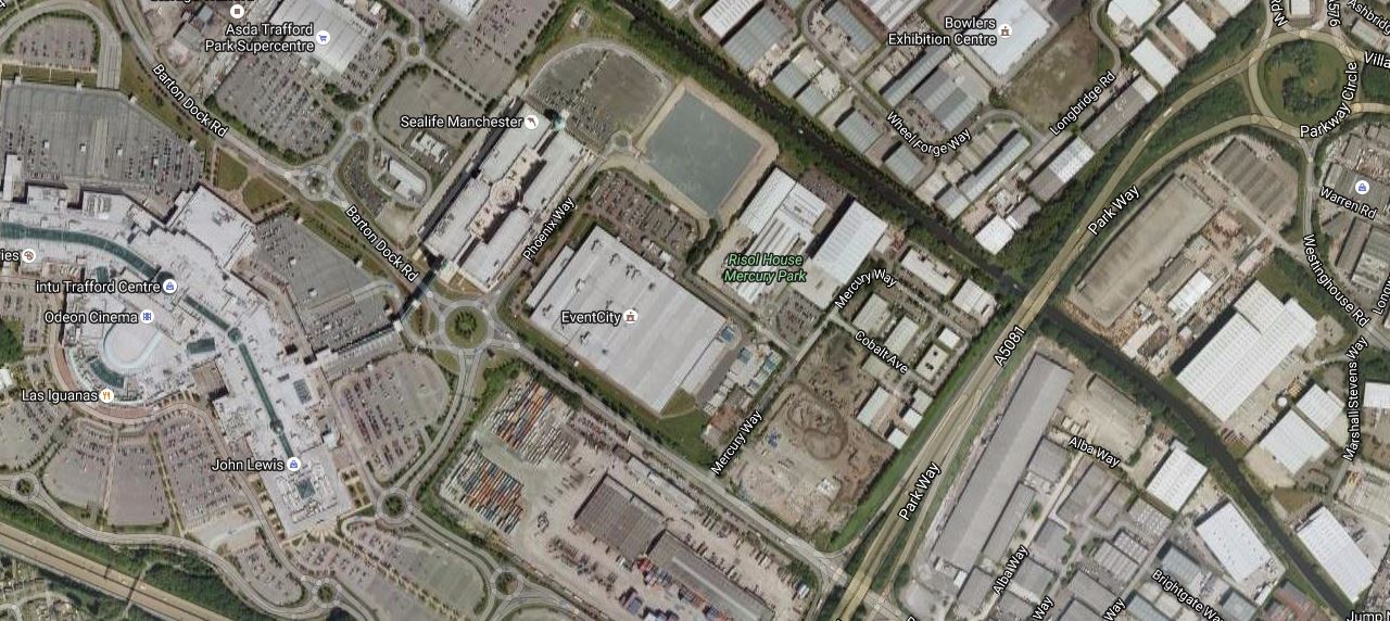
From Parkway To The Trafford Centre
The EventCity tram stop is I suspect by EventCity, which is the big building in the centre of the map.
Trafford Centre
Finally, according to current plans the tram goes on to the Trafford Centre stop.
On To Trafford Waters
This article in the Manchester Evening News is entitled Huge £1bn Trafford Waters development on banks of Manchester Ship Canal given go-ahead.
This Google Map includes Trafford Waters, which is between the Trafford Centre and Manchester Ship Canal.

Trafford Waters
According to Wikipedia there will be a Trafford quays tram stop, to serve the new development.
Finally To Salford Reds And Port Salford
These two final tram stops; Salford Reds and Port Salford are named on Wikipedia..
This Google Map shows the location of these two stops.
Salford Reds And Port Salford Tram Stops
Salford Reds is on the North Bank of the Manchester Ship Canal, to the West of the M6 Motorway.
Fort Salford is a freight terminal on the banks of the canal.
This is said on the FAQ page of Port Salford web site in answer to the question What are the plans to bring Metrolink to Port Salford?
Transport for Greater Manchester (TfGM) who manage the Metrolink infrastructure, aspire to build a new Metrolink line to the AJ Bell stadium and potentially beyond to Port Salford, via Trafford Park and Trafford Centre. Therefore, the new dual carriageway and lift-bridge have been future proofed to eventually accommodate a Metrolink tram line.
That certainly gives one way for the Trafford Park Line to cross the Manchester Ship Canal.
Western Gateway Infrastructure Scheme
The Western Gateway Infrastructure Scheme is designed to bring better connectivity between Port Salford on the North side of the Manchester Ship Canal and Trafford and Trafford Park on the other side. Wikpedia says this.
As part of the Western Gateway Infrastructure Scheme (WGIS), a new link road was constructed in connection with the Port. The existing A57 road was redirected closer to the Salford City Stadium, and a mile-long new dual carriageway link to Trafford Way and a new lift bridge over the Manchester Ship Canal was constructed to the east of the M60 bridge.
This video shows more.
But all is not going well as this report from the Manchester Evening News shows.
Conclusions
These are my thoughts on what has been published.
- There is a lot of development going on along the Manchester Ship Canal.
- There will probably have to be at least one tram crossing of the Manchester Ship Canal between Trafford Centre and Port Salford.
- The design of the tram route hasn’t be finalised yet and changes can be expected.
I am also surprised that the rail link from the North into Port Salford doesn’t include a rail station.
This would allow travellers from the West to have access to the Trafford Park Line, without going all the way to Manchester Piccadilly.
If you look around the UK and Europe, it is probably important that there is a good interface between the tram network and trains, cars and bicycles.
Manchester Metrolink has some good interchanges to rail, but it needs more.
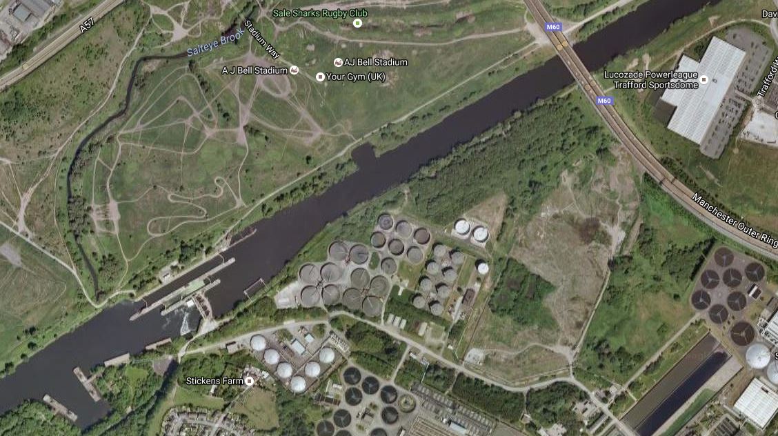
For completeness this Google Map shows Trafford Park from Port Salford in the West to Pomona in the East.

The waterway curving across the map is the Manchester Ship Canal.
Both Port Salford and Pomona are at the edges of the map.
It’ll be interesting to see how this project develops.
Developments on the Trafford Park Line can now be followed on the line’s own Wikipedia entry.
Music Across Races And Ages
The Times this morning has a small article which is entitled Chuck Berry To Release New Album At 90.
I was on a bus, when I rode it and showed it to black lady next to me, who must have been in her early twenties, saying that I had seen Chuck Berry in the sixties, at the Regal in Edmonton.
We were both surprised though, that Chuck Berry was still recording at 90!
We chatted for a minute or so, before she got of the bus.
I do think though that certain strands of music will always appeal to a very wide variety of individuals.
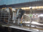
A Short Walk Around Ilford Station
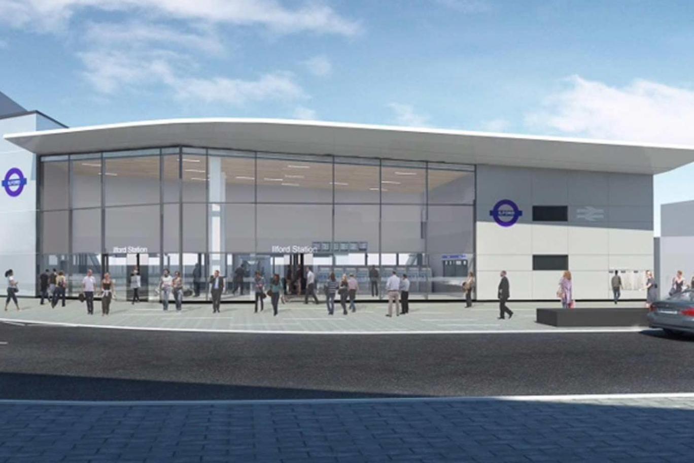
Several reports like this one in New Civil Engineer, have talked about a rebuild of Ilford station for Crossrail. This picture shows how it could look.
As the station now has a new entrance on York Road, I went for a walk around the station.


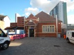
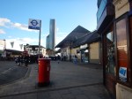

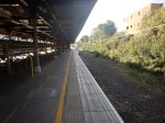

I walked up the stairs at the London end of the station, through the new entrance and then circled to the front entrance, where I reentered the station.
This Google Map shows the station.
Ilford Station And The Town Centre
If the standard of the York Road entrance to the station is anything to go by, I think that Ilford will have a last laugh in all those Essex jokes.
I wonder how much the footfall in the Exchange Shopping Centre will increase when Crossrail opens.
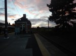
Will The Chelmsford Avoiding Line Be Rebuilt?
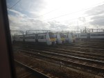
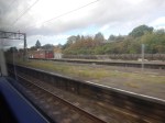
I took this picture at Chelmsford station yesterday.

Note the wide space between the two tracks. This was for an avoiding line as detailed in Wikipedia.
There were originally three lines through the station: two platform lines and an avoiding line between them. An unusual signal box (being some five storeys high at the rear) on the London-bound platform controlled the station including, at the eastern end, a set of sidings that served the goods yard and Hoffman ball bearing factory. The signal box ceased to be used in 1994 but the structure has remained in situ since. The avoiding line has been removed and the sidings were reduced to serve only a mail sorting office and building materials yard.
Given that more and faster trains will be running through the station, could the avoiding line be reinstated?
- Faster trains could overtake trains, that were stopped in the station.
- It would probably make it easier for trains to terminate at Chelmsford, as they would block a platform.
- Modern slab track means that lines can be more precisely positioned.
- It might be possible for freight trains to use the avoiding line.
- Does Norwich-in-Ninety need the avoiding line?
I also suspect that it is probably about time, that the track was fully relaid.
Factors against reinstatement include.
- The modern trains arriving in a few years all have a higher cruising speed, so the need to overtake may be needed less.
- The modern trains will be able to perform a stop, reload and start at a station much quicker than the current stock.
- It is probably reasonable to assume that both fleets of trains; Flirts and Aventras, will have a similar performance and stop profile.
- A new station could be built at Beaulieu, which is a few miles North of Chelmsford and might be a better terminus in the area.
- Trains could also overtake at Beaulieu.
In addition, does Chelmsford need all the disruption?
I think that for the near future, the modern trains and Beaulieu station may be sufficient to allow Norwich-in-Ninety and Ipswich-in-Sixty to be fully implimented.
But long term, I wouldn’t be surprised to see a new Chelmsford station built at the site.
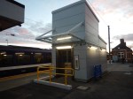
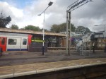
An Updated Manningtree Station
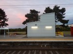
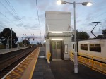
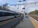
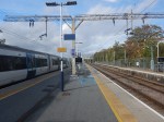
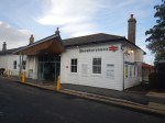
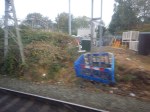
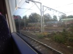
I stopped off at Manningtree station on the way to the football last night to have a look at the new step-free subway and perhaps buy a drink in the buffet.
Having a drink en route to Ipswich, is probably a good idea at the moment, as Ipswich station is being updated and there is nowhere between the station and Portman Road to buy one.
These were the pictures I took.


Note.
- There is a loop on the Northern side of the station, which has been modified to create a short through Platform 4.
- The subway is fully operational, although signs say there is still work to do.
- The subway is ideally placed for a passenger to get off a Norwich-bound train, walk to the subway and cross underneath the lines to either the station exit or a train on the Harwich branch waiting in Platform 1.
As to the buffet, it wasn’t worth a visit, as the cider, which is so important for coeliacs, was rubbish.
The New Manningtree Depot
This article in Rail News says this about the new Stadler Flirts ordered by Greater Anglia.
The trains will be maintained at the existing depots, including Crown Point at Norwich, and also at a new depot at Manningtree which is to be built on a former industrial site alongside the main line.
This Google Map shows the area.
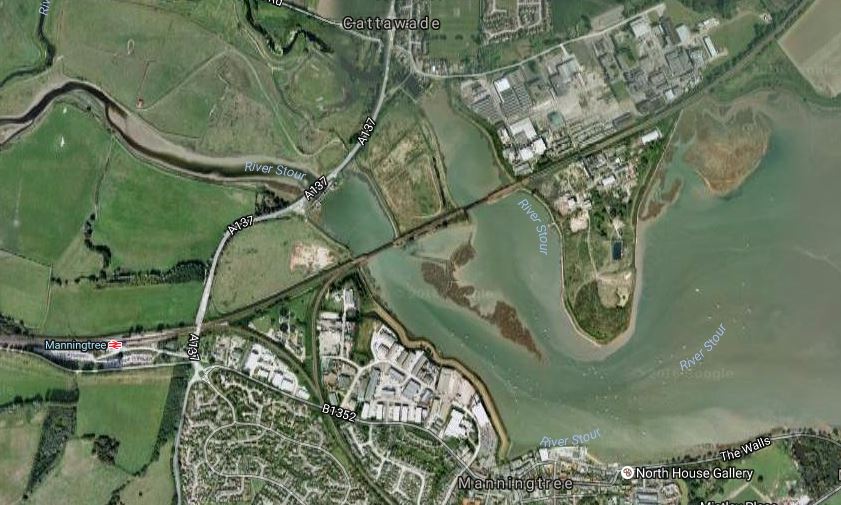
Manningtree Depot Site
The Great Eastern Main Line crosses the map, with Manningtree station clearly marked.
Going East, there is a fully-electrified triangular junction, where the Harwich Branch or Mayflower Line joins the main line, followed by two crossings of the River Stour.
Then to the North and South of the main line, there is a large derelict industrial site, which I suspect will be the location of the depot, as it is the only place that fits the Rail News description.
I suppose the biggest question about this depot, as will it be North or South of the main line. But there is masses of space and I wouldn’t be surprised to see the site used for other commercial purposes as well.
Other questions might include.
- Will housing be developed in the area? Probably not, as it could be liable to flooding.
- Will the depot be developed with limited overhead wires for safety and ascetic reasons?
- Will a station be built to serve the area?
- If one is, will it have extensive car parking in the space available?
- How will environmentalists react to development of the deelict industrial site?
I do suspect locally, that the new employment opportunities will be welcomed.
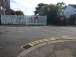
The Manningtree Station Level Crossing
This Google Map shows a close-up of Manningtree station.

Manningtree Station
Note how the road crosses the railway at the right. Wikipedia says this about the crossing.
A second peculiar feature just east of the station is a combination of a road underpass and a level crossing. The underpass has limited height and the parallel level crossing is needed to permit higher vehicles to cross the railway.
This article on the BBC has a video about the crossing, which surely makes a case for improvements.
The title of the article is Bus trapped on Manningtree railway crossing: Driver fined says it all.
Luckily, the only damage was to the driver’s wallet!
With increased traffic on the railway lines through the crossing, will we be seeing improvements to this crossing, which surely must cause problems for trucks at times?
Platform 4
I think we’ll be seeing more use of Platform 4 as the lines get busier and the traffic gets faster.
- I have read somewhere, that the updated Platform 4 will be used as a means of allowing fast trains to overtake. I suppose a Colchester to Ipswich local train could wait in Platform 4, whilst a London to Norwich express went through on Platform 3.
- Perhaps the line could be used by trains going down the Harwich Branch to improve connectivity to the branch with London to Norwich expresses in the Peak.
- I also think for operational reasons train companies like to have a station before a depot, so that any sleeping passengers can be woken and offloaded.
But seriously, why would you get Platform 4 ready for increased use and not use it?
The Future Of The Mayflower Line
Wikipedia for Harwich Town station says this about services on the line.
As of December 2015 the typical weekday off-peak service is one train per hour to Manningtree, although there some additional services at peak times. Trains generally call at all stations along the Mayflower Line; some are extended to or from Colchester and/or London Liverpool Street.
I suspect that an ideal service would be at least two trains per hour (tph) on the line, which were timed to connect with fast services on the Great Eastern Main Line at Manningtree.
Currently there are direct trains in the Peak to and from Liverpool Street. The train, that I got to Manningtree last night was actually going to Harwich, after dividing into two at Colchester, with the front half of the train going on to Clacton-on-Sea.
In the new franchise, Greater Anglia will be running new Aventra trains on the branch. As they are buying five and ten-car trains, I would assume that the five-car version will work the Mayflower Line.
- This will mean that there will be an increase in capacity on the line.
- There will also be a large increase in comfort.
- I would assume that two five-car trains are easily joined and separated to provide shared services, such as I experienced last night.
- As the journey between Harwich Town and Manningtree takes twenty-two minutes, two trains would be needed to run a 2 tph service.
Running 2 tph may be a problem, as the electrification is one of the Treasury’s budget specials. Wikipedia says this.
The line diverges from the Great Eastern Main Line at Manningtree and is double-track for passenger services as far as Harwich International where connecting ferry services are available to Hoek van Holland and Esbjerg. Beyond Harwich International, the original second track remains in place as a through-siding, but only the “up” (Manningtree-bound) line was electrified and that section to Harwich Town is bi-directional.
But Bombardier may have a solution, in that the line was used for the BEMU trial, where a Class 379 train with an onboard battery, ran one way on the overhead wires, charging the battery at the same time.
As all Aventras will be wired to accept onboard energy storage, will we be seeing battery power on the Mayflower Line?
I think the answer is yes!
On my way to Manningtree, I was sitting next to a lady going to Harwich and when I talked about the battery train test of twenty months ago, she said she’d ridden the train and liked it. She didn’t qualify her initial statement with any negative statement.
Will c2c Push For Access To Stratford And Liverpool Street?
On Sunday in An Excursion To Shoeburyness, I indicated how instead of coming back the way I came via West Ham, I got off at Stratford and did some shopping at Eastfield.
But would c2c like to serve Stratford and Liverpool Street more?
The Current Weekend Service From Shoeburyness To Stratford And Liverpool Street
Currently two trains per hour (tph) run from Shoeburyness to Stratford and Liverpool Street at weekends, when there is no conflicting engineering work.
Incidentally, with my excursion, I think that I had to come back by c2c as the Great Eastern Main Line was closed for Crossrail work.
If nothing this engineering disruption shows the value of Southend being served by two independent rail lines.
The Stratford Effect
The Queen Elizabeth Olympic Park and the Shopping Centre at Stratford will have a porofound effect on the operation of c2c’s trains.
This page on the c2c web site is entitled Christmas shoppers get direct c2c trains to Stratford.
This is said.
c2c will run two trains an hour on both Saturdays and Sundays that divert to Liverpool Street instead of Fenchurch Street. These will provide direct access to the Westfield Stratford City shopping centre plus easy access to London’s West End. This is in addition to the two trains an hour that run to Chafford Hundred, for the Lakeside shopping centre, as part of c2c’s existing service.
I think the news item dates from 2014, but it does show a level of intent.
There is also this article in the Southend Echo, which is entitled Extra trains planned as West Ham’s stadium move puts added pressure on c2c network.
This is said.
TRAIN operator c2c are running extra and longer trains for fans travelling to West Ham matches at the club’s new stadium in Stratford.
This won’t be a problem for weekend matches, but what about matches on weekday evenings?
c2c’s spokesman went into more detail.
When asked about direct trains running from Southend to Stratford to make the journey as quick and simple as possible for fans, c2c said they already run direct trains to Stratford from Southend and Basildon,but not Grays, and there will be two trains per hour direct to Stratford most weekends – and two more trains per hour to West Ham.
From Grays, all four trains an hour go to West Ham.
For weeknight games and during weekend engineering work, all trains run to West Ham.
At present, the weekend trains between Shoeburyness and Stratford, satisfy the weekend sopping and football, but what about other events at the Olympic Park? The Queen Elizabeth Olympic Park is only going to get busier.
So are the current services really what c2c and its customers want and need?
Car parking is fairly comprehensive at the outer stations according to this page on the c2c web site.
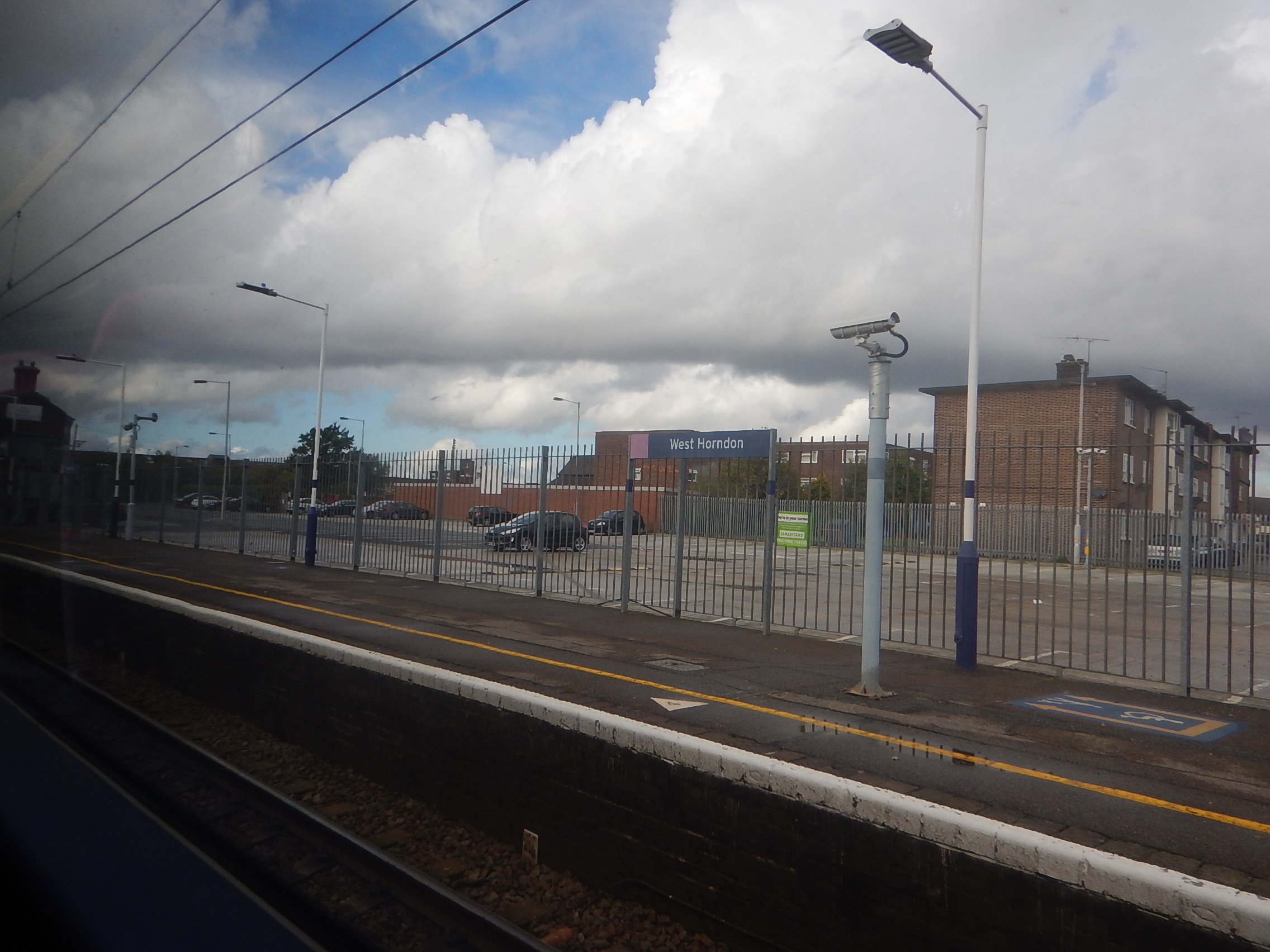
It wasn’t very busy on the Sunday I took this picture at West Horndon station, but for encouraging weekend leisure trips, the availability of car parking must be an asset.
I would imagine that c2c are pushing the authorities for permission to run evening services into Liverpool Street via Stratford.
The Crossrail Effect
When you talk about any of London’s railways, this herd of elephants, with its 1,500 passenger capacity Class 345 trains, always bursts into the room.
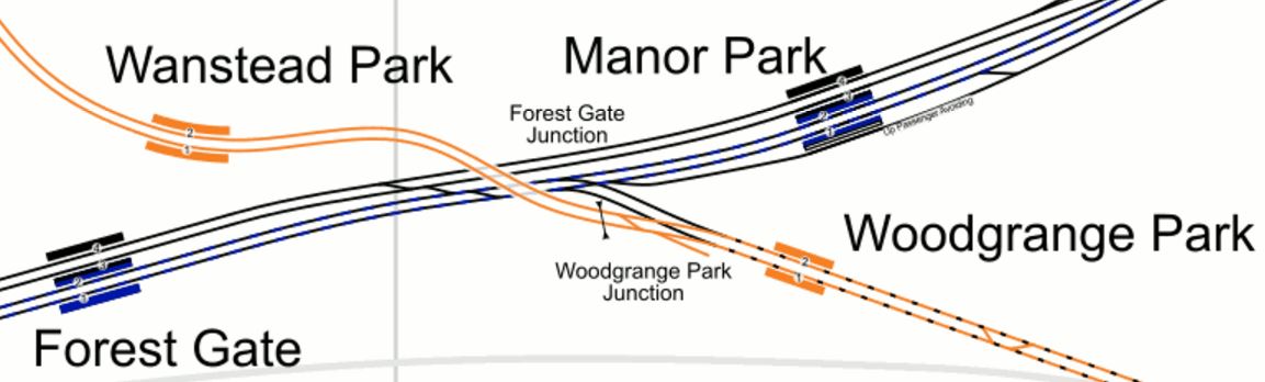
For c2c trains to get to Stratford, they need to take the Gospel Oak to Barking Line (GOBlin) between Barking and Woodgrange Park, where they join the slow lines into London.
This map from carto.metro.free.fr shows the lines around Woodgrange Park station.
As the GOBlin is currently being electrified and improved, I suspect that there will be no operational problems on the short stretch of shared line.
Will there be problems though, after Crossrail opens and there are increased frequencies of trains to and from London?
In the Peak, Crossrail will be running 16 tph to and from Shenfield, so as they are only running 8 tph in the Off Peak, I suspect that at weekends, there will be capacity for c2c’s 2 tph to Stratford.
It is interesting to look at Crossrail’s proposed Peak service on the Shenfield branch.
- 8 tph between Shenfield and Paddington
- 2 tph between Shenfield and Reading
- 2 tph between Shenfield and Maidenhead
- 4 tph between Gidea Park and Liverpool Street
This says to me, that there are probably paths in the timetable to squeeze 4 tph in the Off Peak into Liverpool Street, as the Gidea Park service is Peak-only.
Access To Liverpool Street
Liverppool Street station has two problems.
- There are not enough platforms – This is a difficult one to solve, although Crossrail might only need a single platform to handle the limited number of services not going through the core tunnel. London Overground regularly turns 4 tph in a single platform.
- The platforms are too short – This will be remedied once Crossrail trains are using the core tunnel.
I’m certain, that in a few years Liverpool Street in the Off Peak, will be able to handle 2 tph with a length of 12-cars for c2c.
It is interesting to note, that my train on Sunday was only eight-cars. Was this because of limitations at Liverpool Street?
Should c2c Stop At Woodgrange Park?
Currently, they don’t, but after the GOBlin is reopened would it be a good idea to create a step-free change to get to and from a lot of stations across North London.
The change at Barking between the two lines is not easy and the alternative is to improve it.
c2c Needs Access To Crossrail
c2c’s current route structure has no connection to Crossrail.
As an example to go from West Horndon to Heathrow Airport, you’d need to change twice.
- At West Ham onto the Jubilee Line.
- At Stratford onto Crossrail.
Neither change is a short walk, but both are step-free in busy stations.
If however, it’s a Saturday or Sunday, you could take a train to Stratford and I suspect when Crossrail opens, just wait on the same platform until a Heathrow train arrives.
It should be remembered, that c2c runs an all-Electrostar fleet and I suspect that these are Crossrail compatible with respect to platform height, so the change at Stratford would be easy with heavy cases, buggy or even a week-chair.
What Will The Future Hold?
From what I have written, it would certainly be possible for there to be two 12-car trains every hour in the Off Peak between Shoeburyness and Liverpool Street calling at Basildon, Upminster and Stratford.
But this would have limitations and possible problems.
- Passengers from stations like Grays would want the Crossrail connection too!
- If it is needed in the Off Peak, is it needed in the Peak?
- Would passengers changing at Stratford cause congestion?
There would also be the mother of all battles between the train companies involved, to make sure they kept market share.
My ideal world scenario would be something like.
- 4 tph all day go into Liverpool Street.
- 2 tph on both c2c routes through Basildon and Grays go into Liverpool Street.
- Chafford Hundred is served from Liverpool Street
- Ticketing is such, that Stratford to Southend can use either route and either Southend station.
- c2c trains to and from Liverpool Street, call at Woodgrange Park for the GOBlin.
My wish list may not be possible, but there is certainly tremendous scope for improvement.
We could even see, a station like Grays, Pitsea or Southend becoming a Crossrail terminus.
Who knows? I don’t!
The New Beam Park Station
Beam Park station is a new station that is to support a large housing development of the same name, which will be built on the London, Tilbury and Southend Railway, between Dagenham Dock and Rainham stations.
This map shows the development, with the station numbered at six.

Beam Park
The station is the Westernmost number on the Southern boundary of Beam Park.
- It is possibly located where Kent Avenue crosses over the railway.
- Note that some sources call it Beam Reach station.
- With up to 5,000 new homes in the area, I would think that the station is needed.
I think it is interesting that London is getting two new stations; Barking Riverside and Beam Park, in the same area of London.
An Excursion To Shoeburyness
After I saw the Class 387/3 trains for c2c at Crewe, I thought that if the weather was nice, I’d take a trip to Shoeburyness. So as the weather was good on Sunday, I bought an extension ticket for under a tenner and went.


It is very much a trip into deepest Essex.
A few points.
- As I changed trains at Whitechapel station, it looked like they’re starting to fit out the passageways.
- I was surprised to see lots of disused space on the District Line platforms between Barking and Upminster. I guess that was so they could run long trains all the way to Shoeburyness.
- There are quite a few level crossings on the line.
- The Shoeburyness Depot isn’t small.
- The track to Tilbury Riverside station is still visible.
- There appears to be electrification gantries on the single-track leading to Platform 1 at Barking station, which Gospel Oak to Barking trains have used as a terminus for years.
- I came back via Stratford to do some shopping at Eastfield.
Unlike many other rail companies and possibly because they are a smaller franchise, c2c doesn’t seem to have too many published plans and ambitions, other than to keep satisfying their customers.
But then there is very little of an expansionist nature that they could do!
- In future years, there may be a need for a station at London Gateway.
- Would housing and leisure developments around Tilbury Riverside, make it worthwhile reopening the station.
- Much of the infrastructure work will be minor improvements for safety or to gain a few seconds here and there.
- There could be a program of level crossing removal.
- A new station will probably be built at Beam Park, to support housing development.
But there is no major project, like some proposed by companies like Chiltern Railways.
How Could The Twenty Mile Per Hour Limit Be More Strongly Enforced?
Where I live in Hackney, in common with some other London boroughs, there is a lot of twenty mile per hour zones.

20 MPH Signs In Hackney
As the picture shows they are well signed.
But this doesn’t stop drivers and motorcyclists rushing around, often quite a lot in excess of the allowed limit!
Councils have been criticised recently over using box junction cameras as cash machines, as this article on the BBC details. The title of London councils raise millions through box junction fines summarises the article well!
It may be an erroneous observation on my part, but as London gets more congested and the traffic slower in Central London, it does seem that when the traffic eases as it often does in Hackney, that drivers take more than a legal advantage.
Excessive speed also seems to have got worse in this area, since the 20 mph limit was brought in. Red rags and bulls come to mind.
Why can’t we set up a network of automatic number plate recognition cameras, that locate and timestamp vehicles in the 20 mph zones.
Computers would then check all the timings and issue tickets to those, who obviously got from A to B at over the speed limit. Just like cameras on motorways around road works.
It could be a very nice little earner for councils.
