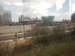
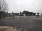
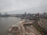
Development To The West Of The North Entrance Of The Silvertown Tunnel
This Google Map shows the site to the West of the North entrance of the Silvertown Tunnel.
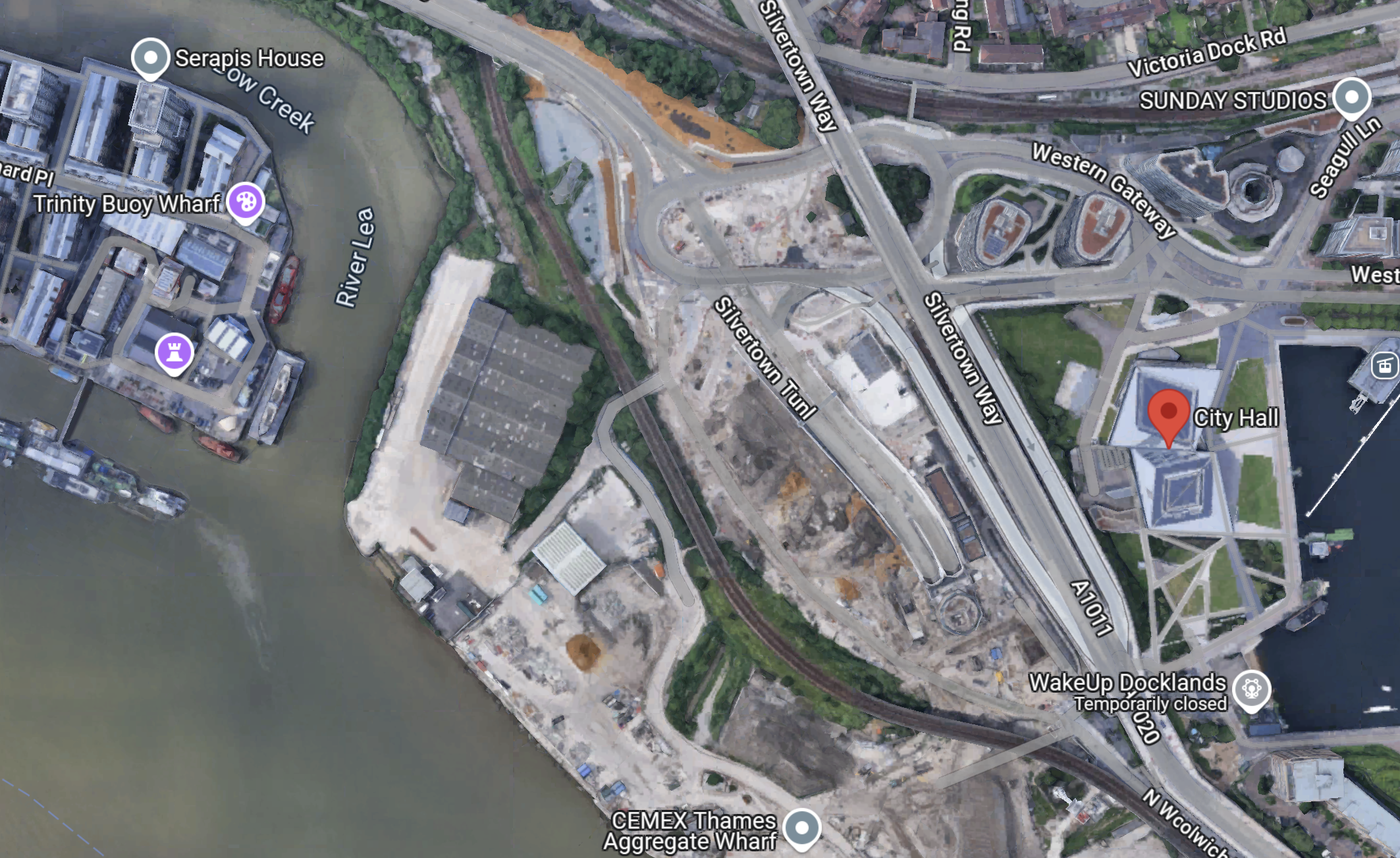
Note.
- The red arrow indicates City Hall.
- There is a large site between the DLR and the river.
- The Docklands Light Railway separates the site from the North entrance of the Silvertown Tunnel.
- The CEMEX Thames Aggregate Wharf seems to occupy part of the site.
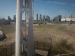
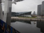
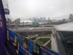
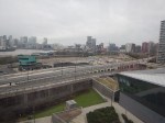
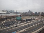
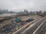
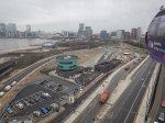
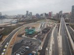
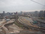
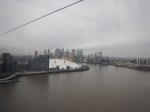
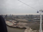
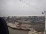
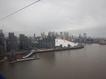
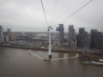
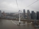
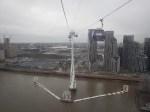
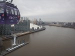
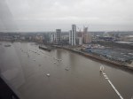
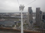
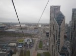
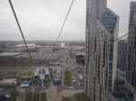
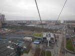
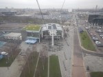
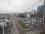
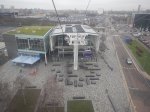
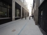
This picture shows the North entrance of the Silvertown Tunnel from the cable-car.
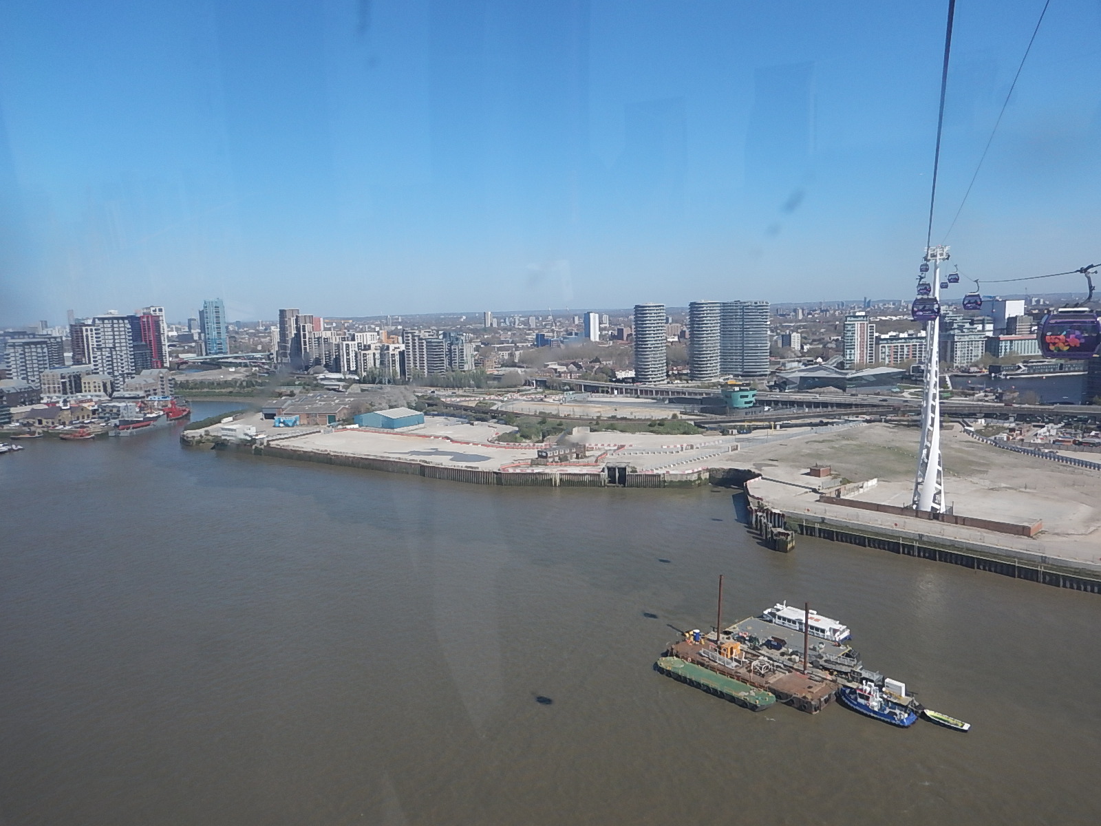
It is surely a site with development potential, as Roy Brooks would say.
It will probably be used for more tower blocks along the Thames.
But could it be used for a coach station to handle the increasing number of coaches between London and the Continent?
- A Docklands Light Railway station could be built to serve the site.
- Thames Clippers could also serve the site.
- Coaches could use the Silvertown Tunnel to start their journey out of the capital.
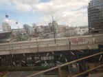
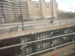
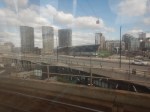
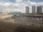
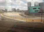
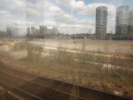
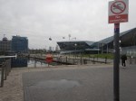
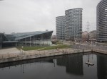
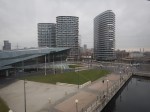
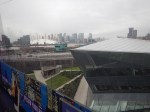
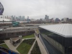
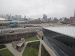
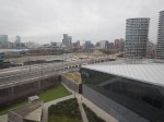
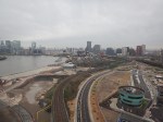
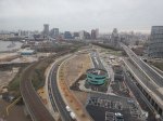
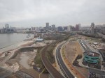
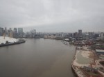
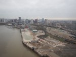
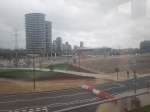
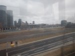
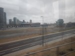
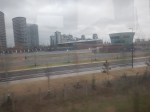
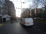
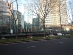
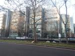
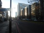
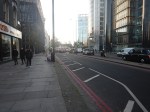
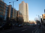
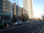
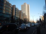
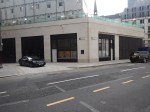
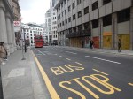
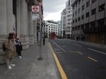
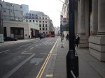
I added these pictures, that were taken of the site from the Docklands Light Railway, a day later.


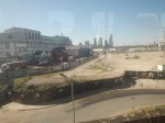
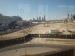

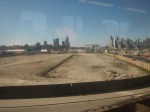
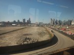

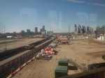
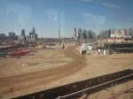
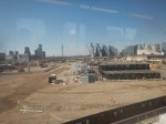
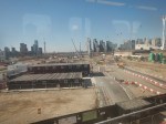
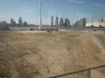
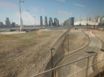

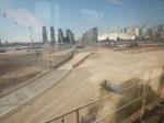

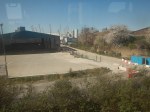

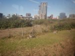
The site certainly has development potential.
Silvertown Tunnel Works – 15th March 2025
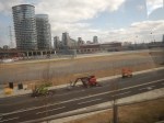
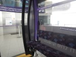
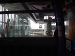
I did two runs on the Docklands Light Railway past the Silvertown Tunnel Site.
These pictures were taken on the run to City Airport.


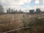
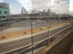
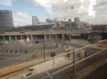
And these were taken on the return to Canning Town station.


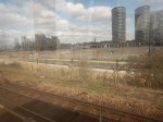
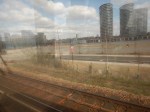
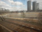

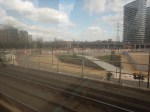
The tunnel certainly looks to be on course to open on April 7th.
Silvertown Tunnel Works From The Cable Car – 8th January 2025
I took the pictures in Silvertown Tunnel Works – 1st January 2025 from the Docklands Light Railway.
I took these pictures from the Emirates Air Line or whatever it is called today.


Heights And Me
I find a ride on the Cable Car to be very refreshing.
I also used to like being at height in an unpressurised light aircraft.
Is this unusual? A doctor, who has appeared in mountaineering documentaries on the BBC thinks so, but then doctors have a good laugh about my skin, which doesn’t seem to need a plaster after a blood test or injection.
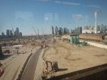
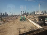
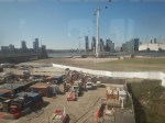
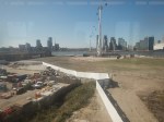
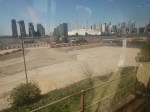
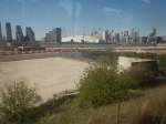
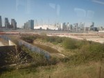
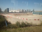
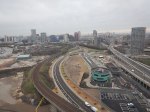
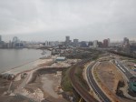
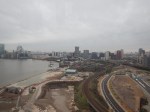
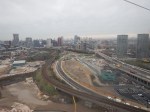
Silvertown Tunnel Works – 1st January 2025
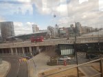
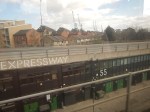
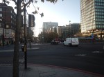
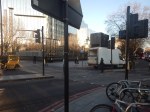
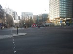
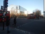
cklAlthough today was not the best day weather-wise, it has been a long time since I’ve photographed the works on the Northern exit of the Silvertown tunnel.
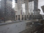

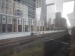
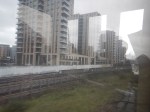
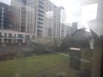
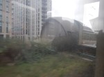

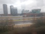
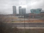
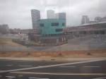
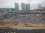
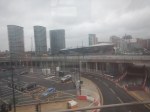
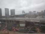
Note.
- The picture sequence starts as I’m leaving Canning Town station on a Docklands Light Railway train.
- As the weather wasn’t good, I took the train to London City Airport, where I walked across the platform and came home.
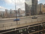
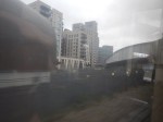
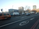
- City Hall is the angular building, that is behind the flyover.
- Is that underpass under the flyover to get vehicles to and from City Hall quicker?
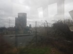
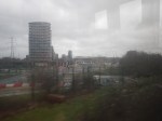
The quality of the pictures would have been helped by better weather.
Are Londoners The Tunnel Kings?
I was born in 1947 and it was in the early 1960s, that I started to develop an interest in engineering, which eventually led me to study Electrical Engineering and Electronics at Liverpool University.
Like most Londoners, I was a frequent user of the Underground and for six or seven years, I took the Piccadilly Line many days between Oakwood and Southgate to go to Minchenden Grammar School. Often, after school, I would go on to my father’s print works near Word Green tube station.
But not memories of London’s tunnels were so memorable at that time. One day, we were driving to see my Uncle Bert in Broadstairs and we were held in the Blackwall Tunnel for an hour or so because of an accident.
Perhaps, this is why I can remember a black-and-white video of digging the Western Tunnel of the Dartford Crossing so vividly. But as Raymond Baxter probably explained to BBC viewers at the time, it dug using a Greathead shield under pressure to keep the water out. It was probably the last tunnel dug under the Thames using methods, that would have been familiar to Victorian engineers.
This British Pathe video shows some of the construction of the Western tunnel.
This paragraph from the Wikipedia entry for the Eastern Tunnel describes its construction.
Construction was approved in April 1971, with an initial expected opening date in 1976. Work was delayed due to a lack of funds, which was resolved by EEC funding granted in 1974. The second tunnel opened in May 1980, allowing each tunnel to handle one direction of traffic, by which time the joint capacity of the two tunnels had increased to 65,000 vehicles per day. Connection of the crossing to the M25 was completed on the northerly Essex side in September 1982 (Junction 31), and to the southerly Kent side in September 1986 (Junction 1a)
The tunnels may be inadequate in terms of capacity, but they have certainly done a reliable job for sixty and forty-three years respectively.
There are other tunnels under the Thames, that have been built in my lifetime.
- Thames Cable Tunnel – 1970 – National Grid’s 400 kV cable.
- High Speed One – 2007
- Dartford Tunnel (East) – 1980
- Dartford Tunnel (West) – 1963
- Dartford Cable Tunnel – 2004
- Docklands Light Railway Tunnel – 2009
- Elizabeth Line Tunnel – 2014
- Millennium Dome Cable Tunnel – 1999
- Jubilee Line Tunnels – 1999 – Planned by Artemis
- Blackwall Runnel (East) – 1967
- Isle of Dogs Jubilee Line Tunnels – 1999 – Planned by Artemis
- Docklands Light Railway Tunnel – 1999 – Planned by Artemis
- Deptford Cable Tunnel –
- Jubilee Line Tunnels – 1999 – Planned by Artemis
- Victoria Line Tunnel – 1971
- New Cross to Finsbury Market Cable Tunnel – 2017
- Wimbledon to Pimlico Cable Tunnel – 1996
- London Power Tunnels – 2018, 2011
There are also these tunnels, which don’t go under the Thames
Bank Station Expansion And New Southbound Northern Line Tunnel – 2022
- Elstree to St. John’s Wood Cable Tunnel – 2005
- Heathrow Rail Tunnels – 1998
- Lee Tunnel – 2016
- Limehouse Link Tunnel – 1993
- Lower Lea Valley Cable Tunnels – 2008
- Northern Line Extension To Battersea – 2021
- Piccadilly Line Extension To Heathrow – 1975-2008
- Thames Tideway Tunnel – Estimated completion in 2025 – Tunnelling ended in 2022.
- Thames Water Ring Main – 2010
Note.
- The date is the opening date.
- I am pleased to see that at least some projects were planned, with the software, I wrote in a Suffolk attic.
In my lifetime, at least 27 substantial tunnels have been completed, a very large proportion of which have been on time and on budget, with the possible exception of the Heathrow Rail Tunnels, which collapsed.
So Why Has London Got A Good Record On Tunnelling?
In Millicent And Ursula Prepare To Go Tunnelling, I describe my visit to the Tideway Open Day today to see the tunnel boring machines; Millicent and Ursula before they went tunnelling.
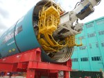
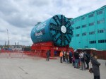
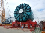
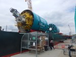
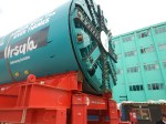
On that Sunday morning, I also chatted with the engineers and tunnelers.
- All had worked on at least one of London’s previous tunnels.
- One had worked on the Second Dartford Tunnel, the Channel Tunnel and Crossrail.
- A couple said, that after the Tideway finished, they would be off to High Speed Two.
Is London’s good record on delivering tunnels safely and on time and on budget, a case of lots of experience and practice makes perfect?
If it is, we should definitely think hard about how we handle large projects.
Wind Farms
Many have been constructed this way.
- The grid substation and connection to the grid is built.
- The foundations of the turbines are installed.
- The turbines are erected.
- All the turbines are commissioned.
This sequence or something like it can be applied to onshore and offshore wind farms.
- Most jobs are repeated many times by specialist teams using purpose-built cranes, ships and other equipment.
- Bigger wind farms, just need more repeated operations.
- All operations are generally in a small geographical area.
- I suspect specialist software has been built to project manage, the building of wind farms. If it hasn’t, I have my ideas.
Project management should be relatively easy.
British Land Unveils Plans To Transform London’s Euston Tower Into A Life Sciences And Innovation Hub
The title of this post, is the same as that of this press release from British Land.
The Wikipedia entry for the Euston Tower gives this paragraph of history.
The site was developed by Joe Levy who bought properties along the north side of Euston Road to enable him to build a complex of two tower blocks with office shops and apartments. The building, which was designed by Sidney Kaye Eric Firmin & Partners in the International style and built by George Wimpey, was completed in 1970. It is 36-storeys and 124 metres (407 ft) high. Early tenants included Inmarsat and Capital Radio.
When you get to over fifty years old, various parts of your body get tired and I suspect it is the same with buildings.
These are the two bullet points of the press release.
- Euston Tower represents a major retrofit and redevelopment opportunity at the heart of London’s Knowledge Quarter
- Proposals aim to transform the building into a world-class net zero home for world-leading life science and innovation occupiers
These two paragraphs then add a bit more vision.
Leading property company British Land has unveiled plans to redevelop Euston Tower through an innovative combination of retention, re-use and an ultra-low carbon new structure. The plans would transform the building into a pioneering, modern, net zero workspace for cutting-edge businesses of all sizes, including new world-class, lab-enabled spaces at the heart of London’s Knowledge Quarter.
Currently under discussion with Camden Council and other local stakeholders, the vision for Euston Tower will lead the way in low carbon retrofit and construction techniques, using inclusive design which creates high quality workspaces and continues to support the local community and economy. The current proposals will bring forward lab-enabled spaces for start-up and scale-up innovation businesses, as well as spaces for the local community to support education and training opportunities.
These are points from the press release.
- Leading the design are award-winning Danish architecture practice 3XN.
- They are supported by London-based architecture and landscape studio DSDHA who re-designed much of Broadgate’s public realm, including Exchange Square.
- In line with British Land’s longstanding commitment to net zero development, the design’s sustainability strategy is based on retaining, re-using and re-cycling existing material, specifying low carbon and recycled materials where new is required and only using certified carbon offsets as an action of last resort.
- This multi-layered approach to net zero development aims to create a blueprint for the sustainable redevelopment of challenging, inflexible old buildings that can be used in the future.
British Land has owned and operated Regent’s Place for nearly 40 years, which means they must have a lot of knowledge about how best to develop the building and its surroundings.
They certainly seem to be applying a modern net-zero approach to a building that was iconic and modern in the 1970s.
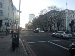
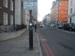
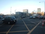
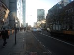
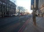
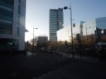
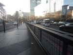
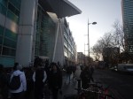
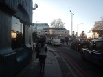
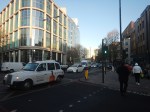
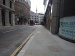
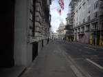
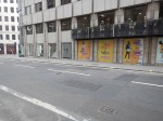
This afternoon I walked down the Euston Road between Euston and Great Portland Street stations and took these pictures.


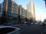

Note.
- Euston Station is a shadow of its former self.
- Euston Tower is the boxy tower on the North side of Euston Road.
- University College London Hospital (UCLH) is the tower on the South side of Euston Road.
- I believe the glass-fronted building opposite the hospital and Euston Tower contains a lot of BT infrastructure.
I have some thoughts.
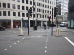
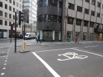
Traffic Along The Euston Road
I took the pictures around 1400 in a Friday and they show how busy the Euston Road is most of the time.
According to the Wikipedia entry for the Euston Road, there was a plan to remove the underpass.
In the early-21st century, the Greater London Authority commissioned a plan to improve the road from the architectural firm, Terry Farrell and Partners. The original study proposed removing the underpass (which was subsequently cancelled) and providing a pedestrian crossing and removing the gyratory system connecting the Tottenham Court Road and Gower Street. The scheme was approved by the Mayor of London, Ken Livingstone as “the start of changing the Marylebone to Euston road from a highway into a series of linked public spaces.” The pedestrian crossing opened in March 2010. Livingstone’s successor, Boris Johnson, favours keeping the Euston Road underpass and declared it to be a good place to test his nerves when cycling around London.
Nothing is said about, where the traffic would have gone, if the underpass had been closed.
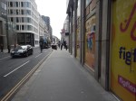
I walked along the South side of the Euston Road past the hospital and the air couldn’t be considered clean. As I write this, this website rates it Hazardous.
If we ignore the pollution for pedestrians and cyclists, is it really a road, that is fit for the purpose of moving traffic between King’s Cross and Baker Street, and vice-versa? I don’t think so!
The UK Needs More Lab Space
Cambridge innovators and developers were always saying they needed more lab space.
I also suspect, they are moaning in Oxford too!
So building high-quality space in London could reduce the pressure.
In Canary Wharf Boosts Its Science Ambitions, I talked about the ambitions of Canary Wharf to be a life sciences hub.
The Euston Tower Is Well-Connected
Consider.
- The Euston Tower is within walking distance of Euston, King’s Cross and St. Pancras stations, with all their long distance connections.
- The Euston Tower is within walking distance of Euston Square, Great Portland Street, King’s Cross St. Pancras and Warren Square stations, with all their Underground connections.
- There are buses everywhere.
But that’s not to say, that these links cannot be improved.
Euston High Speed Two Station Could Be Euston Tower’s Sister?
This Google Map shows the location of Euston Town and the proposed Euston High Speed Two station.

Note.
- Euston Tower is marked by a red arrow in the South-West corner of the map.
- The existing Euston station is in the North-East corner of the map.
- The High Speed Two station will be built along the Western side of the existing station.
With good landscaping, an excellent walking route, and perhaps a people mover Euston Tower could have superb connections to the rest of the UK.
Cycling And Walking Could Be A Possibility!
This Google Map shows the wider area around Euston Tower.
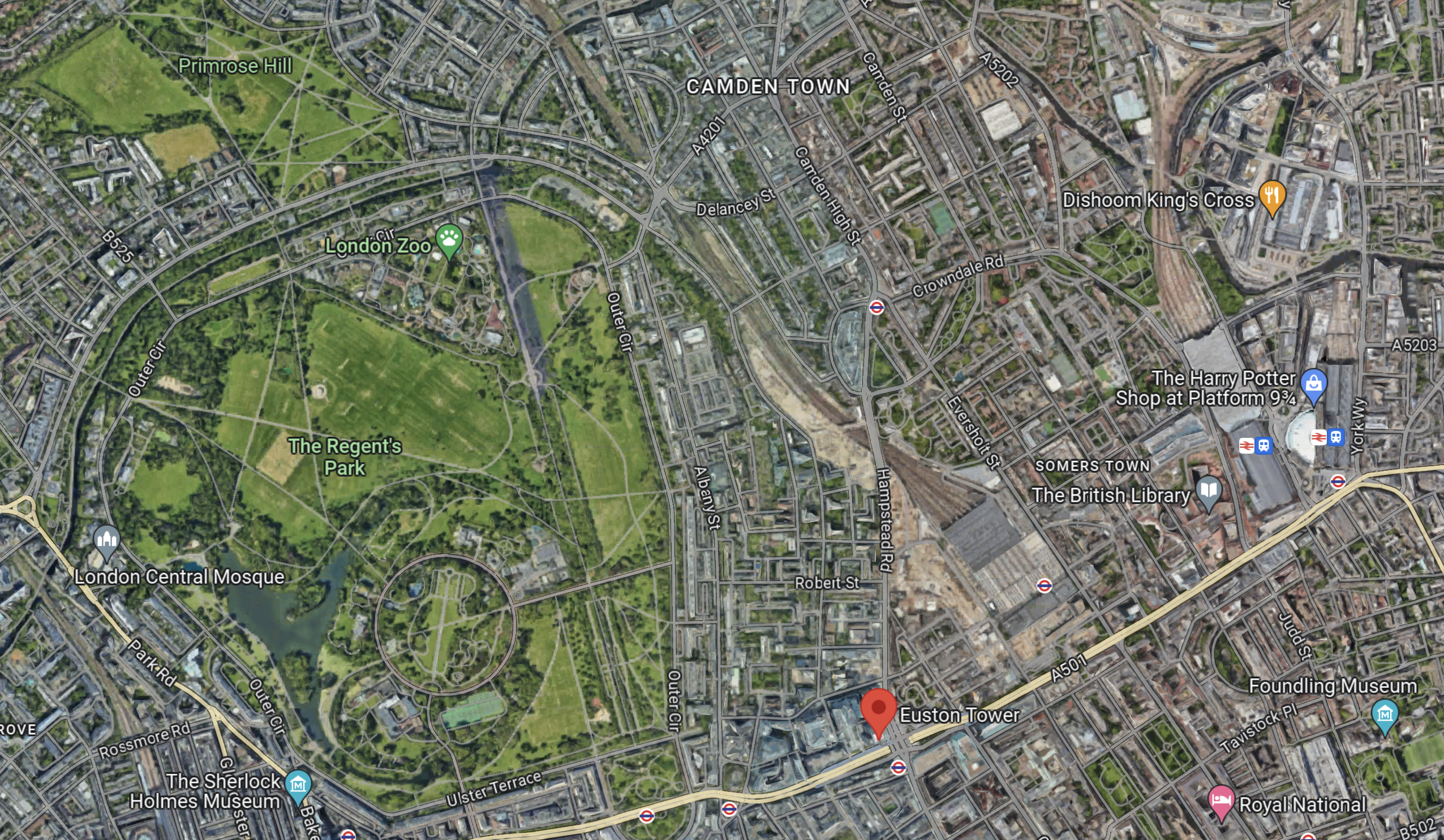
Note.
- Euston Tower is marked by the red arrow towards the bottom of the map.
- To its West lies the cycling- and walking-friendly spaces of Regents Park and Primrose Hill.
In the 1970s, I regularly walked or cycled across the park from where we lived near Primrose Hill to a client in Great Portland Street.
I also suspect other cycling and walking routes could be developed to Euston Tower from Euston, King’s Cross, St. Pancras and other stations.
Crossrail 2
Crossrail 2 would certainly help travelling to the Euston Tower, by linking Euston, King’s Cross and St.Pancras to North-East and South-West suburbs of London, with trains at frequencies of up to 30 thirty trains per hour (tph) in the central tunnel.
But.
- The new line will cost at least £31.2 billion. Who can afford it?
- The Elizabeth Line took sixteen years from approval to full opening.
- Crossrail 2 would still be a walk from Euston Tower.
So Crossrail 2 is unlikely to be any help to the redevelopment of Euston Tower.
Improving The Sub-Surface Lines
The Euston Tower is close to two stations on the sub-surface lines; Euston Square and Great Portland Street.
Services through these stations are currently as follows.
- Circle Line – 6 tph – In both directions all day.
- Hammersmith & City Line – 6 tph – In both directions all day.
- Aldgate and Amersham- 2 tph – In both directions all day.
- Aldgate and Chesham – 2 tph – In both directions all day.
- Aldgate and Uxbridge – 6 tph Peak – 8 tph – Off-Peak
- Aldgate and Watford – 4 tph – Peak
Note.
- In the Peak there are 26 tph through Great Portland Street and Euston Square stations.
- In the Off Peak there are 24 tph through Great Portland Street and Euston Square stations.
- In this article on Modern Railways,it is said that after digital signalling is installed on the sub-surface lines, the capacity on the lines, will be 32 tph in the Peak and 27 tph in the Off-Peak.
These figures give a 33 % capacity increase in the Peak and a 28 % increase in the Off Peak.
Both Great Portland Street and Euston Square stations are cramped and not fully step-free stations and could struggle with a 28 % and upwards increase in passenger numbers.
In The New Step-Free Entrance At Euston Square Station, I detailed TfL’s plans to put a new full step-free entrance South of Euston Road at Euston Square station.
This would not directly help travellers going between Euston Tower and Euston station, but hopefully, it would help to make Euston station less crowded and more passenger-friendly.
It would certainly ease walking between University College and the hospital, and the station.
This map from cartometro shows the Underground lines at Great Portland Street station.
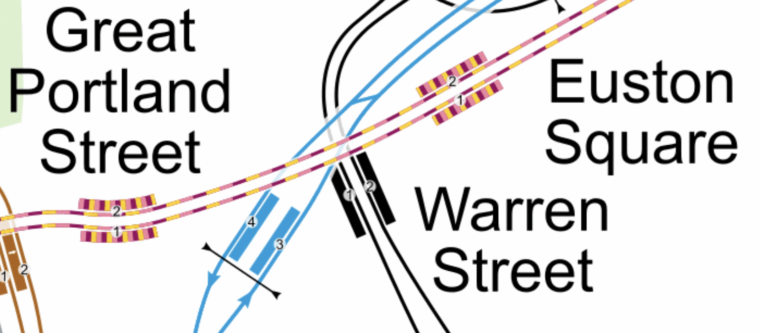
Note.
- The yellow and mauve tracks are the sub-surface lines.
- The black tracks are the Northern Line.
- The blue tracks are the Victoria Line.
This Google Map shows the Euston Tower, Great Portland Street and Warren Street stations.
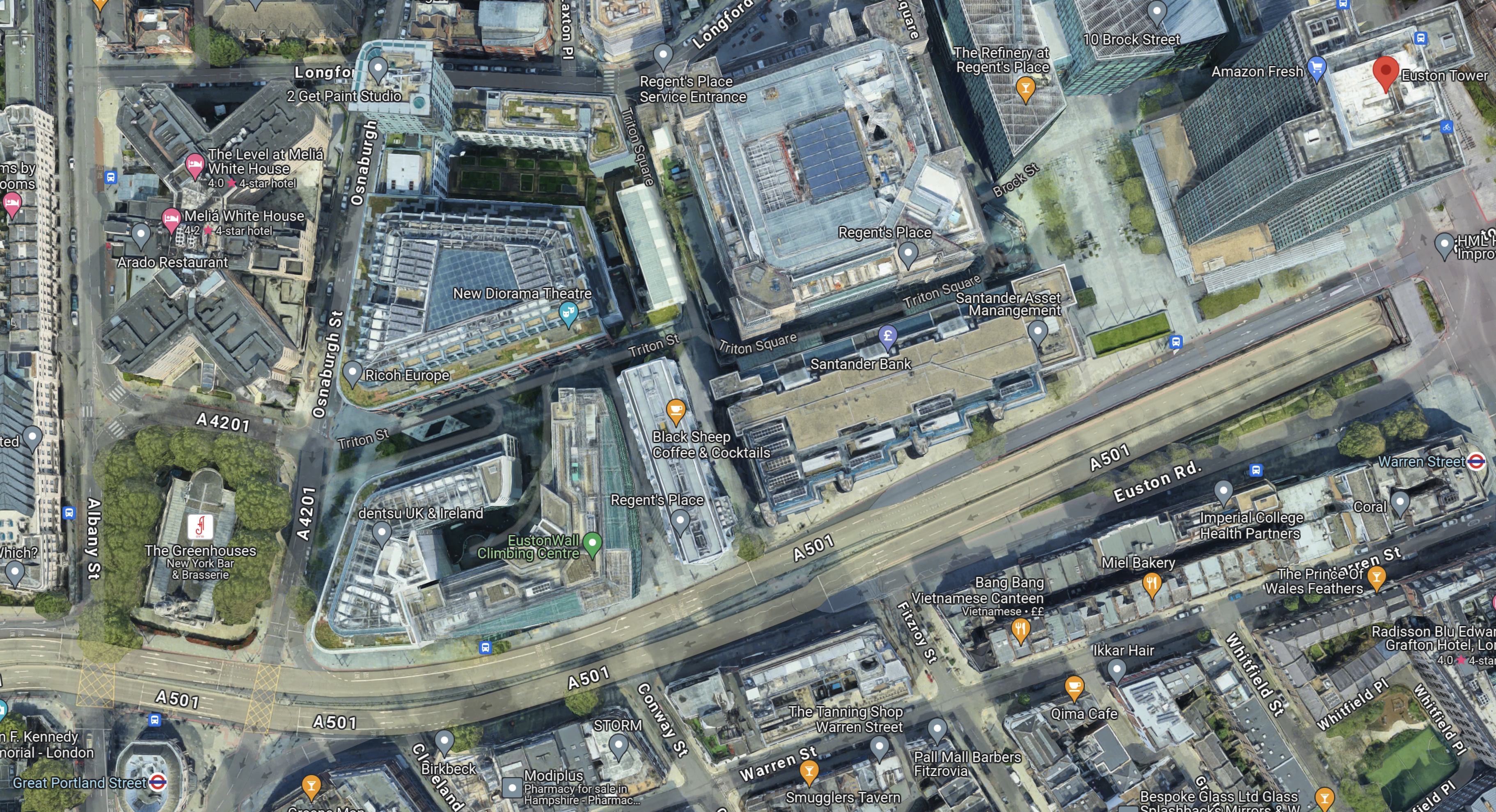
Note.
- The Euston Tower is indicated by a red arrow in the top-right corner of the map.
- Great Portland Street station is in the bottom-left corner of the map.
- Warren Street station is at the left of the map.
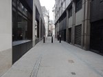
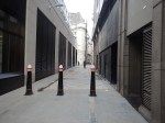
I wonder if the platforms were to be extended Eastwards at Great Portland Street station, that a new entrance to the station could be created perhaps fifty metres from Euston Tower.
I am convinced that the extra passenger traffic created by the life sciences and innovation hub can be handled by an augmented transport infrastructure, which would rely mainly on planned improvements to the sub-surface lines, which are approaching their final stages.
Conclusion
Converting Euston Tower into a life sciences and innovation hub is a plan that I believe can work well!
I would recommend the following improvements to public transport.
- The planned extra step-free entrance to Euston Square station on Gordon Street is constructed.
- An extra fully step-free entrance is built at the Eastern ends of the platforms at Great Portland Street station, which would be about halfway between Euston Tower and the station.
As improvements to the signalling of the sub-surface lines will deliver an upwards of 27 % capacity on the sub-surface lines, the life sciences and innovation hub might as well take advantage.
Canary Wharf Move Means Expansion For Drug Trials Operator
The title of this post, is the same as that of this article on The Times.
These three paragraphs outline the story.
An Aim-listed company that tests infectious and respiratory disease products on volunteers is preparing to move its operations to Canary Wharf.
Amid booming demand for its services, hVIVO, which infects volunteers with safe doses of virus agents, then quarantines them before testing the efficacy of vaccines and antivirals — in so-called human challenge trials — will move from its clinics in Whitechapel, east London, to a new larger facility near by owned by Canary Wharf Group early next year.
Canary Wharf is aiming to attract businesses from the life sciences and health sectors in a drive to become a sciences hub and less reliant on the financial services industry.
This is the second story about life science companies moving to Canary Wharf after Canary Wharf Boosts Its Science Ambitions.
I have my thoughts.
Canary Wharf Is A Transport Hub
Canary Wharf is served by the following transport links.
- Buses
- Docklands Light Railway
- Elizabeth Line
- Jubilee Line
- Thames Clipper
It is very well-connected, which means that staff and volunteers can get there easily.
Canary Wharf Is A Leisure Destination
Canary Wharf is very much more than a collection of expensive offices.
There are shops, bars, restaurants, a museum and a cinema complex.
There Is A Shortage Of Lab-Rats
I volunteer for medical research and regularly, I’m called in to help with the recruitment of more volunteers.
I suspect, that many would prefer to volunteer at Canary Wharf, rather than some parts of London.
Conclusion
I suspect that we’ll see an expansion of medical research of all kinds at Canary Wharf.
TfL’s First Brand New £8million DLR Train Trashed And Covered In Graffiti At London Depot
The title of this post, is the same as that of this article on MyLondon.
This is the sub-heading.
Not a single passenger has even been able to ride the new train yet, but it has already been entirely tagged with graffiti
This is so sickening.
Transport for London, must have known the train was a target after what happened to Merseyrail’s first Class 777 train whilst it was parked up in Tonbridge on the way to Liverpool, according to this article in the Liverpool Echo.
It should be noted that Liverpool’s trains, don’t suffer from these morons in the city and even their forty-year-old Class 508 trains are untouched.
Conclusion
Where were the Police?
Is The Nightmare On The Buses Going To Get Worse?
This morning after photographing the finish of the Bank Station Upgrade, I walked down the side of the new Cannon Street entrance to catch a 141 bus from King William Street to my home.

Note.
- There are two bus stops for the 21, 43 and 141 buses on King William Street; one Northbound and one Southbound.
- The bus stops are a two minute level walk from the gate-line at the Cannon Street entrance.
- To go between the gate-line and the Northbound stop requires no crossing of any road, but the route to the Southbound stop requires the use of a light-controlled crossing.
- The Cannon Street entrance is step-free and only a short walk, between the street and the platforms of the Docklands Light Railway and the Northern Line.
- The access to the Central Line is also easy, but a longer walk.
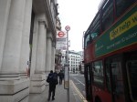
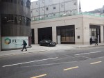
This afternoon, I walked the other way from the Southbound bus stop on King William Street to the new Cannon Street entrance of Bank station.

Note.
- It is a totally level walk.
- There are lights to help the crossing of King William Street.
- The concrete building on the other side of King William Street is the other end of the new station entrance.
- It looked to me, that there was a retail unit in the corner of that building. This was confirmed by station staff and it would surely be an ideal place for an upmarket takeaway.
- The building on the corner of Cannon Street and King William Street is a set of shared offices. Again it is in a prime position.
- You can also walk from the bus stop to the main Monument station entrance.
I timed myself from the Southbound stop on King William Street to the various platforms.
- Central Line – Under five minutes
- Dockland Light Railway – Under four minutes
- Northern Line – Under three minutes
Will these times encourage passengers to use the new entrance and its buses to North London?
If I was looking for offices for a foreign company, that wanted to be in the City, as I do occasionally for an American attorney, I would start in this area.
Step-Free Access On The Northern Line Is Rather Variable
If you look at the step-free access on this section of the Northern Line, you find the following.
- Euston – Escalators – No Lifts until High Speed Two
- King’s Cross – Escalators – One Lift to platform
- Angel – Escalators – No Lifts – Medium walk to the buses
- Old Street – Escalators – No Lifts – Medium walk to the buses
- Moorgate – Escalators – Long Lift route – Medium walk to the buses
- Bank (North) – Escalators – Lots of Steps – Medium walk to the buses
- Bank (Cannon Street) – Escalators – Two Lifts to platforms – Short walk to buses
- London Bridge – Escalators – One Lift to platform – Steps to buses
Note.
- If I was going between My House and the Northern Line South of Bank station, I’d change between the 141 bus and the Northern Line at the Cannon Street entrance to Bank station.
- Alternatively, I can take a 38 bus to the Angel and join the route there. But that route can be very slow coming North, as there is a lot of walking. Going South, it’s also likely to be blocked by a Tesco truck at the Angel.
- Between My House and the Docklands Light Railway, I’d change from the 141 bus at the Cannon Street entrance to Bank station.
- I might even take that route, if I wanted the Central Line out of Bank.
It does appear that as the new Cannon Street entrance to Bank station has been well-designed with full step-free access and short walks to the bus stops, that it will be the interchange of choice for many travellers to and from the area, who are using the buses.
Conclusion
I feel that a lot of passengers from North London will use the 21, 43 and 141 buses to access the Central and Northern Lines, and the Docklands Light Railway using the new Cannon Street entrance to the Bank station complex.
I very much feel that all three bus routes will have a lot more passengers, so the Nightmare On The Buses, is likely to get worse.
Could The Giant Station At Bank, Liverpool Street, Monument And Moorgate Be Considered A Superhub?
In Is The City Of London Moving Towards One Giant Station?, I showed how the four stations were being drawn together and developed as one large station that served the heart of the City of London.
London is also developing other large interchange stations that could claim because of their connectivity could be classed as London superhub stations.
- Canary Wharf stations, which connect the Elizabeth and Jubilee Lines, and the Docklands Light Railway.
- Old Oak Common station, which could bring together the Central, Chiltern and Elizabeth Lines, the London Overground and High Speed Two.
- Stratford station, which connects the Central, Elizabeth and Jubilee Lines, the Docklands Light Railway, the London Overground, High Speed One and the Great Eastern Main Line.
- Whitechapel station, which connects the Circle, District, Elizabeth and Hammersmith & City Lines, and the London Overground.
But what are the characteristics of a superhub station?
A Lot Of Lines And Services
Obviously, it must have a lot of lines and services, so perhaps Clapham Junction station is the original superhub station.
All Lines Should Have Step-Free Access
This surely, goes without saying.
There Should Be Lots of Information
If the station is large it needs a lot of information and there’s probably the space to put it.
Helpful Staff
Should we have a fully-staffed kiosk at superhub stations, as there are at some main line stations?
Good Bus Connections
Bus connections at a superhub station must be comprehensive and probably connect to other superhubs.
There Should Be A Selection Of Shops For Travellers
I do my daily food and other shopping, as I travel around London. I’ll often use a station like Paddington with a good selection of shops.
Toilets
There are not enough public toilets in London.
Cash Machines
I know we’re using less cash, but a large station is a secure place to put a cash-machine.
Works Of Art
I also believe that railway stations are a secure place to put some of those large bronze sculptures and other works of art, that are currently locked away in the storerooms of galleries.
