Are There Any Plans For The Bay Sub-Surface Platforms At Moorgate Station?
I use Moorgate station regularly, as there’s a Leon Restaurant just outside the station, that looked after me properly during the Covid-19 Pandemic, so when I’m in the area and need feeding I pop in.
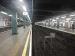
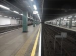
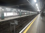
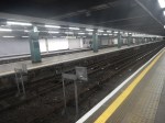
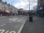
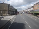
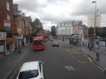
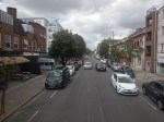
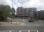
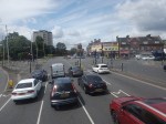
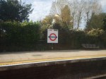
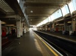
These pictures show the four bay platforms on the Sub-Surface lines.
Note.
- The pair of platforms to the left or South are numbered 5 and 6 and used to handle Thameslink trains, that ran to Moorgate station.
- Platforms 5 and 6 used to be electrified with 25 KVAC overhead wires.
- The pair of platforms to the right or North are numbered 3 and 4 and are used to terminate some Metropolitan Line services at Moorgate station.
- Platforms 3 and 4 are electrified with London Underground four-rail electrification.
- The number for Platform 4 can clearly be seen.
This map from cartometro shows the track layout in Farringdon, Barbican and Moorgate stations.
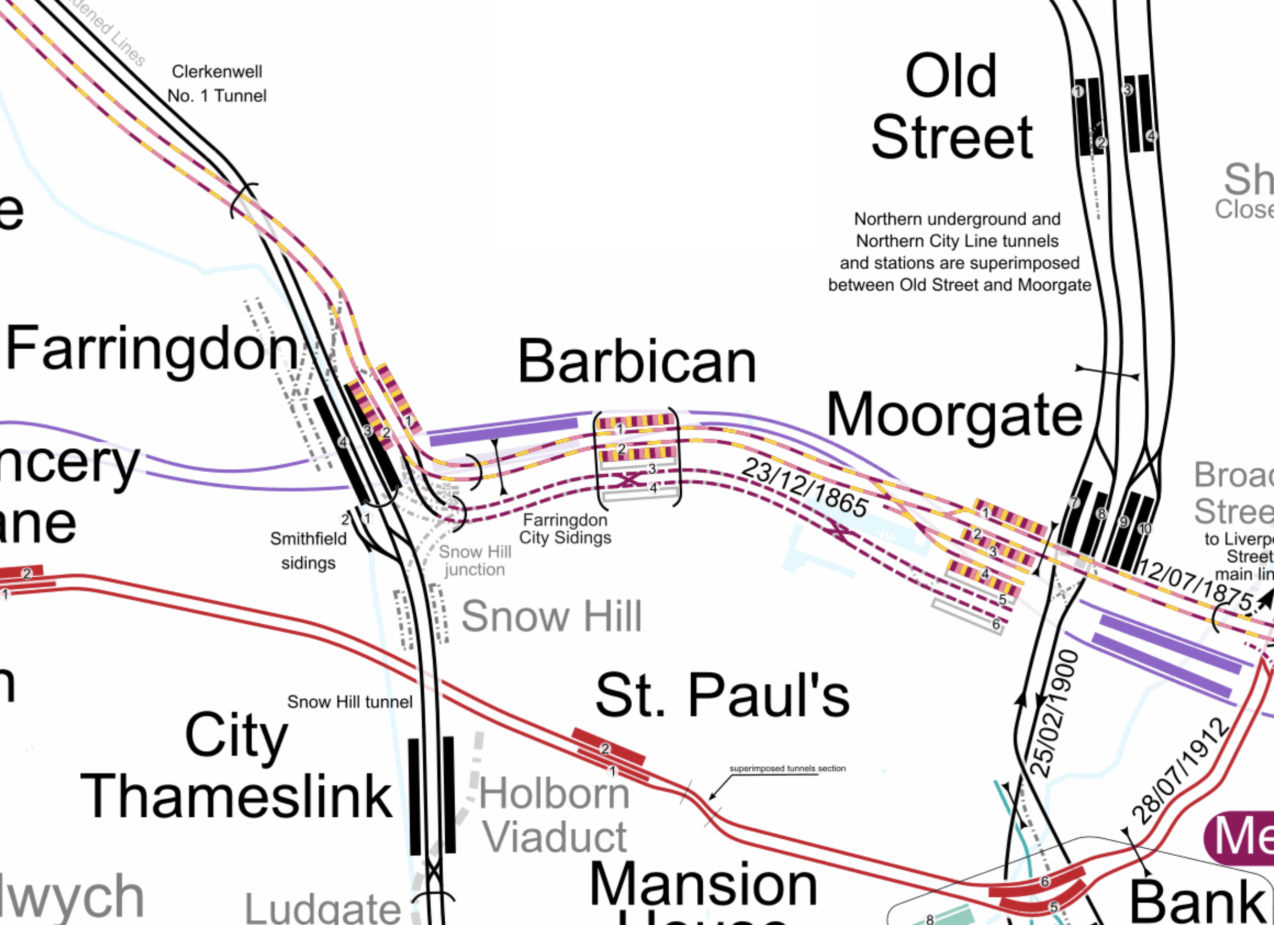
Note.
- The multi-coloured tracks and platforms of the Metropolitan, Circle and Hammersmith & City Lines running through Platforms 1 & 2 at Farringdon, Barbican and Moorgate stations.
- The multi-coloured tracks and platforms of the Metropolitan, Circle and Hammersmith & City Lines terminating in Platforms 3 & 4 at Moorgate station.
- The purple tracks and platforms of the Elizabeth Line running underneath the Metropolitan, Circle and Hammersmith & City Lines and their stations.
- The maroon and white tracks and platforms of Thameslink running through Platforms 3 & 4 in Barbican station and terminating in Platforms 5 & 6 at Moorgate station.
- The black tracks of Thameslink running through Farringdon and City Thameslink stations.
- It would appear there used to be two junctions to allow trains from Moorgate to go North through Farringdon station or South through City Thameslink station.
- The Thameslink tracks have two useful crossovers.
- The black tracks of the City branch of the Northern Line running through Old Street, Moorgate and Bank stations.
- The black tracks of the Northern City Line running through Old Street station and terminating in Moorgate station.
- The red tracks of the Central Line running through Chancery Lane, St. Paul’s and Bank station.
Because of the layout of the various tracks new connections and improvements may be possible.
Extending The Northern City Line To Bank Station
In Walking Along Moorgate – 30th September 2020, I describe some of the possibilities opened up by the design of Moor House, which has been built to allow more tunneling underneath.
I believe two extensions South from Moorgate station would be possible.
- It was intended by the builders of the Northern City Line, to take the route to just North of Bank station at Lothbury.
- Has The Possibility Been Created For A Pedestrian Tunnel Between Bank And Moorgate Stations?
Note.
- As the extension to Bank station has dug tunnels all over the place, I would expect that the engineers on that project would have a good idea on the best way to connect Moorgate and Bank stations.
- I usually use the Northern Line between Moorgate and Bank stations, but sometimes the Northern Line is rather crowded.
- The Northern City Line is being resignalled and may have an increased number of trains, so more passenger capacity may be needed.
- If a new station were to be built at Lothbury, it might be possible to improve step-free access to the Northern City Line.
- A new station on the Northern City Line and a pedestrian tunnel could connect to the newly-installed travelator at Bank station.
There are certainly serious possibilities to improve connections between Moorgate and Bank stations.
Could Metropolitan Line Trains Be Turned At Moorgate Station?
Currently, there are eight trains per hour (tph) between Aldgate and Uxbridge in the Off Peak.
With the new signalling on the Sub-Surface Lines would it allow more trains to operate, if some Metropolitan Line services were terminated in Platforms 3 & 4 at Moorgate station.
Would It Be Worthwhile To Run Thameslink Trains Again Into Moorgate Station?
It would only need to terminate trains from the North, as trains from the South can terminate at Black friars Station.
Perhaps a two tph service from a convenient station would suffice.
A Pedestrian Connection Between City Thameslink Station And St. Paul’s Tube Station
I covered this in A Pedestrian Connection Between City Thameslink Station And St. Paul’s Tube Station.
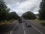
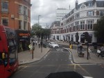
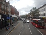
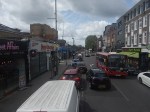
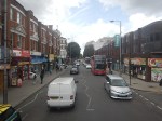
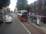
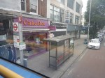
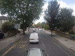
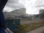
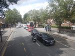
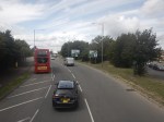
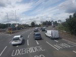
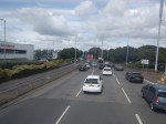
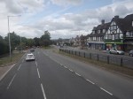
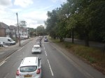
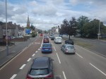
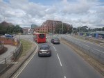
Riding The SL8 Bus Between Shepherd’s Bush Market And Uxbridge Stations – 16th July 2023
This draft map from TfL illustrates the concept of the Superloop.
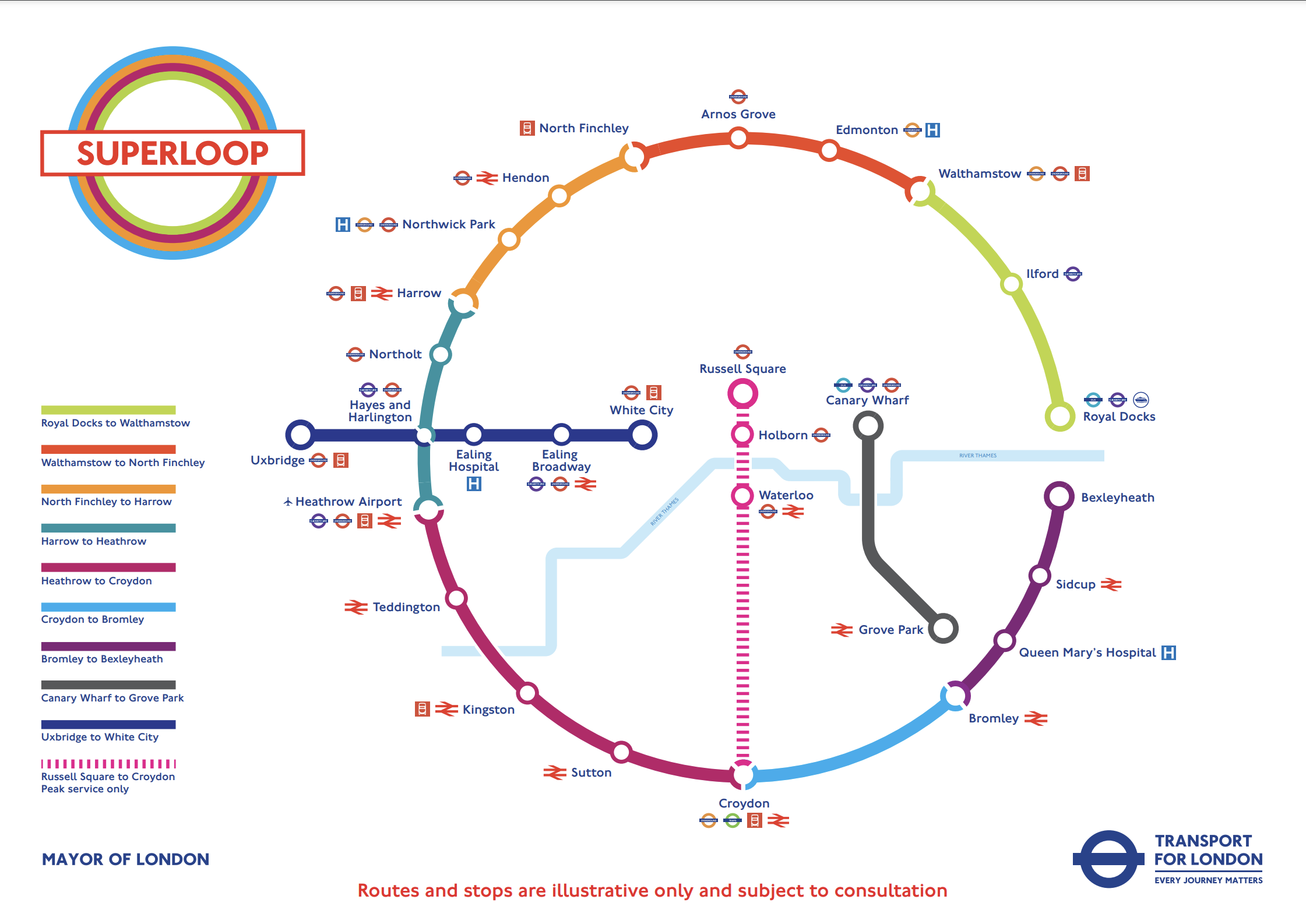
The spoke on the Western side of the map is route SL8 between White City and Uxbridge stations.
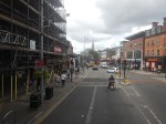
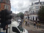
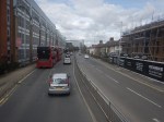
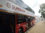
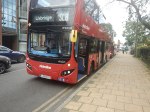
This morning I rode the route between Shepherd’s Bush Market and Uxbridge stations and took these pictures.


Note.
- Some of the buses have still to be painted in the new white-topped Superloop livery.
- The buses are diesel-powered.
- The stops have their own livery.
- I estimate the route is 12.3 miles long and the bus took 67 minutes.
- The frequency appeared to be typically four buses per hour.
- The route is mainly dual-carriageway to the West of Ealing Hospital.
Route SL8 used to be route 607 and except for the branding nothing has changed.
I have few thoughts.
The Concept
The concept seemed to work well, where the roads were free of traffic.
But we get get a bit delayed through places like Ealing Broadway, where parking reduced the width of the road.
The Route
The route connects quite a few stations and other important locations.
From East to West they include.
- Westfield Shopping Centre
- Shepherd’s Bush station for the Central Line and the Overground.
- Shepherd’s Bush Market station for the Hammersmith and City Line
- Acton Central station for the Overground
- Ealing Common station for the District and Piccadilly Lines.
- Ealing Broadway station for the Central, District and Elizabeth Lines.
- Ealing Broadway
- Ealing Town Hall
- Ealing Hospital
- Southall Broadway
- Hayes
Note.
- The route is very much the same as the now-abandoned West London Tram, which was proposed twenty years ago.
- The tram was opposed y the three London boroughs on the route, as it cut them in half. But buses don’t cause the same problems.
- The Superloop map shows that the SL8 bus calls at Hayes and Harlington station, but we went nowhere near it today.
- The route with its sections of dual carriageway and congested shopping streets was a bit like the route o Birmingham’s hydrogen buses, that I wrote about in Riding Birmingham’s New Hydrogen-Powered Buses.
I feel as the route is very similar to the West London Tram, which was probably extensively researched, that there won’t be too many changes to this route.
Parking Along The Route
I wouldn’t be surprised to see more parking restrictions along the route, to speed up the buses in the crowded shopping streets like Acton, Ealing Broadway and Southall Broadway.
The Buses
The buses are Egyptian-built eVoSeti diesel buses, which use a Volvo chassis.
- I don’t like these buses as they don’t have a flat floor and I’ve seen some passengers struggling with the stairs on the lower deck.
- At least the stairs to the upper deck aren’t too bad.
We used to have them locally in Dalston and I used to avoid them, if there was another bus close behind.
This new route, though should be served by zero-carbon buses, so that pollution and carbon emissions are reduced.
- Between White City and Uxbridge takes over an hour.
- A battery-electric bus would need recharging during the day.
- It looks like there’s not much space at White City and Uxbridge stations, to install charging stations.
- A hydrogen-powered bus could probably manage all day on one filling.
For these reasons, I suspect that hydrogen buses would be the preferred option.
New Fast Bus Service To Link London’s Outer Boroughs
The title of this post is the same as that of this article on the BBC.
This is the sub-heading.
A new fast service bus network has been announced for London’s outer boroughs.
These three paragraphs outline the concept.
Six new routes will be created and four incorporated into the ‘Superloop’ network, complete with distinct branding.
The plans propose a fast service to make more stops linking many of the peripheral boroughs.
The network is part of London Mayor Sadiq Khan’s effort to compensate for the impact of the ultra-low emission zone expansion, due to start in August.
This draft map from TfL illustrates the concept.
In the draft map, the following can be discerned.
- Arnos Grove station is in the North.
- West Croydon station is in the South.
- Royal Docks and Bexleyheath are in the East.
- Uxbridge and Hayes & Harlington stations are in the West.
- Elizabeth Line stations on the route include Ilford, Custom House, Heathrow Airport and Hayes & Harlington.
The plan may work well, as in the 1950s and 1960s, I used the 107 bus route very regularly, as it cut a circular path between Queensbury in the West and Enfield in the East.
I have some thoughts.
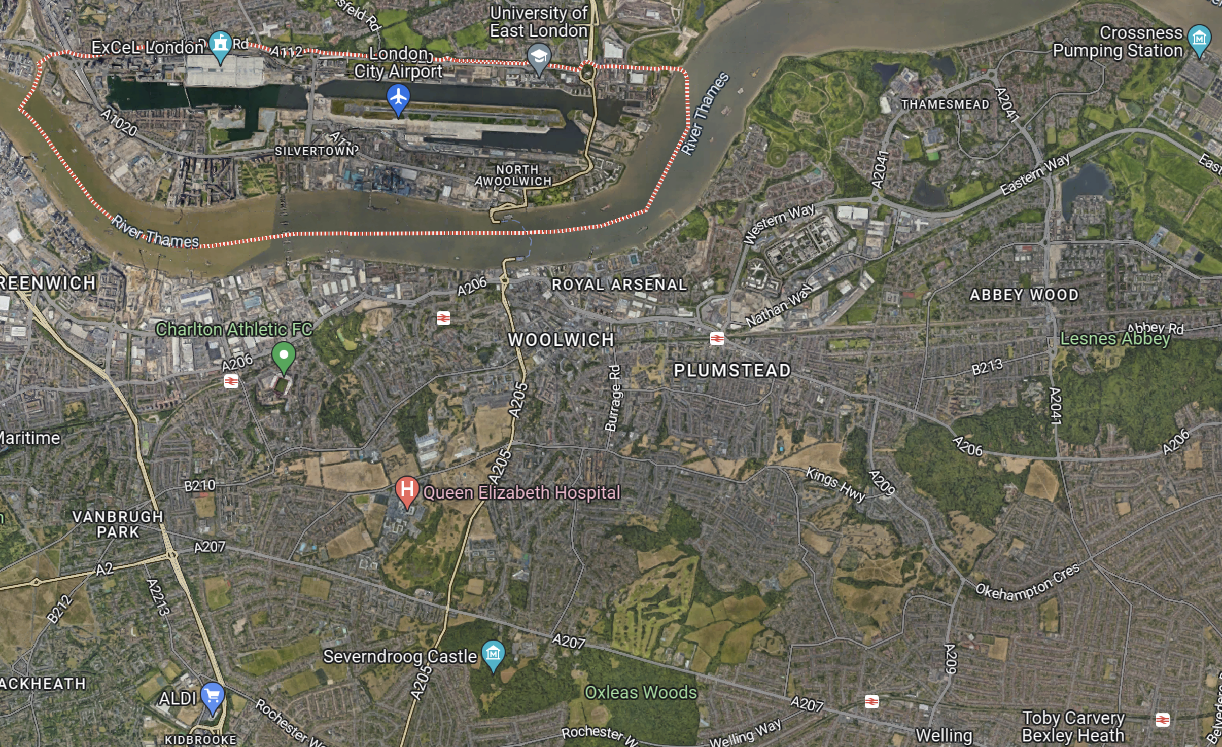
Royal Docks And Bexleyheath
This Google Map shows the Royal Docks.

Note.
- The dotted red line indicates the Royal Docks.
- The runway of the London City Airport can be seen.
- Custom House station on the Elizabeth Line is served by the Elizabeth Line and the Docklands Light Railway.
This second Google Map shows the Western end of the Royal Victoria Dock.

Note.
- Custom House station is in the North-East corner of the map.
- The Excel is on the East end of the map.
- London City Hall is at the Western end of the Royal Victoria Dock.
- The cable-car to Greenwich connects to the area.
I would suspect that the bus from Walthamstow will terminate close to City Hall and the cable-car.
This Google Map shows the Royal Docks and Bexleyheath.
Note.
- The dotted red line indicates the Royal Docks.
- Bexleyheath station is in the South-East corner of the map.
I wouldn’t be surprised to see the Mayor organise a bus, through his new pet project; the Silvertown Tunnel.
Electric Or Hydrogen
Ideally, the buses will need to be zero-carbon; which means battery-electric or some form of hydrogen power.
Birmingham has a similar series of express routes, that run across the city, which I wrote about in Riding Birmingham’s New Hydrogen-Powered Buses.
I feel that long routes like some of these are should be run with hydrogen-powered buses, because of there longer range.
Could Metropolitan Line Trains Run Between Uxbridge In The West And Barking/Upminster In The East?
I read somewhere in Wikipedia, that Transport for London (TfL) were thinking of extending Uxbridge Branch trains on the Metropolitan Line from Aldgate to Barking and/or Upminster stations.
Current Frequencies Between Wembley Park And Upminster Stations
These are the Off Peak frequencies on the various sections of the route in trains per hour (tph)
Wembley Park To Baker Street
- 2 tph – Amersham to Aldgate
- 2 tph – Chesham to Aldgate
- 8 tph – Uxbridge to Aldgate
- 4 tph – Watford to Baker Street
This gives a total of 16 tph
Baker Street To Liverpool Street
- 2 tph – Amersham to Aldgate
- 2 tph – Chesham to Aldgate
- 8 tph – Uxbridge to Aldgate
- 6 tph – Hammersmith to Barking
- 6 tph – Circle Line
This gives a total of 24 tph
Aldgate East to Barking
- 6 tph – Hammersmith to Barking
- 6 tph – Richmond to Upminster
- 6 tph- Ealing Broadway to Upminster
- 3 tph – Wimbledon to Barking
This gives a total of 21 tph
Barking to Upminster
- 6 tph – Richmond to Upminster
- 6 tph – Ealing Broadway to Upminster
This gives a total of 12 tph
Current Frequencies Between Hammersmith And Baker Street
I’ll add this, in case I need it later.
- 6 tph – Hammersmith to Barking
- 6 tph – Circle Line
This gives a total of 12 tph
Current District Line Frequencies Between Hammersmith And Upminster
These are the Off Peak frequencies on the various sections of the route.
Hammersmith to South Kensington
- 6 tph – Richmond to Upminster
- 6 tph – Ealing Broadway to Upminster
This gives a total of 12 tph
South Kensington to Tower Hill
- 6 tph – Richmond to Upminster
- 6 tph – Ealing Broadway to Upminster
- 3 tph – Wimbledon to Barking
- 6 tph – Circle Line
This gives a total of 21 tph
Aldgate East to Barking
- 6 tph – Hammersmith to Barking
- 6 tph – Richmond to Upminster
- 6 tph- Ealing Broadway to Upminster
- 3 tph – Wimbledon to Barking
This gives a total of 21 tph
Barking to Upminster
- 6 tph – Richmond to Upminster
- 6 tph – Ealing Broadway to Upminster
This gives a total of 12 tph
Four Lines Modification
The Four Line Modification is a project to upgrade the following lines.
- Circle Line
- District Line
- Hammersmith & City Line
- Metropolitan Line
New S7 and S8 Stock trains have been delivered and new track and drainage has been installed, but the biggest change will be in the new signalling. TfLsays this abut the new signalling.
Work to install a new signalling and control system began in summer 2016. This will eventually allow the trains to be driven automatically, with a train operator in the cab to open and close the doors. The train operator will be responsible for managing customer information and safety.
Similar technology introduced in recent years on the Jubilee and Northern lines improved performance. The new signalling system allows trains to be run closer together, meaning a more frequent service and shorter waiting times, allowing more people to be carried. This new technology will enable us to reduce delays and improve reliability.
If 32 tph can be run on sections of the four lines, it is an impressive upgrade of capacity.
Currently the frequencies are.
- Wembley Park to Baker Street – 16 tph
- Baker Street to Liverpool Street – 24 tph
- Aldgate East to Barking – 21 tph
- Barking to Upminster – 12 tph
For completeness these frequencies will be added.
Hammersmith to Baker Street – 12 tph
Note
- The frequencies are all at least eight tph below the maximum future operating frequency.
- The busiest section is between Baker Street and Liverpool Street stations.
- The frequency on the two end sections of the Northern East-West section between Hammersmith and Upminster stations is only 12 tph.
It looks like TfL have scope to increase the capacity on the four lines.
Are The Circle/District Line Platforms At Edgware Road Station At Maximum Capacity?
Currently, the following services terminate at Edgware Road station.
- Six tph on the Circle Line.
- Six tph on the District Line from Wimbledon station.
As there are only two platforms to turn the twelve tph, I wouldn’t be surprised if someone told me, that Edgware Road station was at maximum capacity.
If this is the case, then no more trains can be run on the Circle Line, without reducing the frequency to Wimbledon, unless the station were to be rebuilt.
This Google Map shows the station.

And this map from carto.metro.free.fr shows the lines through Edgware Road and Baker Street stations.
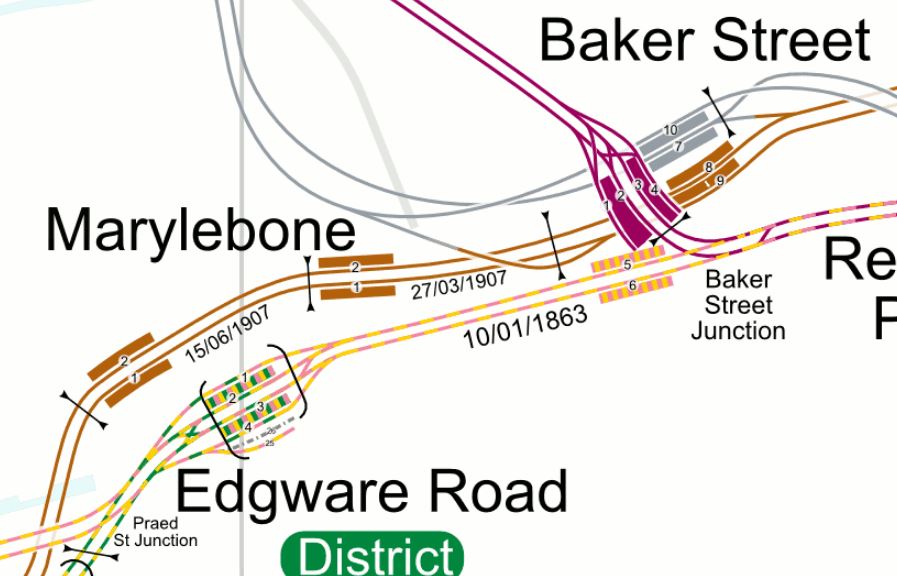
Edgware Road station lies in a cutting, in the midst of some very expensive real estate.
- It is not step-free.
- According to the carto.metro.free.fr map, there used to be or still is a siding or platform to the South of the current four platforms.
- The junctions to the West of the stations are complicated.
- As trains often wait for a few minutes in the station, I suspect it is not operationally efficient.
Could at some time in the future, the station be rebuilt?
- The East-West services might go straight through in two Northern platforms.
- The junction to the West of the station would be simplified, with no crossing of tracks.
- Three terminal platforms could be built for trains coming from the South, which would allow an increase in services.
- Hopefully, the East-West and terminating services could be separated and wouldn’t cross each other.
- Development of tower blocks over the top would provide some funds for the new station.
Would it be possible to increase Circle Line services to ten tph?
Frequencies along the route would be as follows.
- Baker Street to Liverpool Street – 28 tph
- Tower Hill to South Kensington – 25 tph
- High Street Kensington to Edgware Road – 16 tph
My scheduling nous says yes! I also feel, that using good project planning, the station could be built without disrupting services.
Baker Street Issues
Is Aldgate Station At Maximum Capacity?
Currently, the following services terminate at Aldgate station.
- 2 tph from Amersham
- 2 tph from Chesham
- 8 tph from Uxbridge
As there are only two platforms to turn the twelve tph, I wouldn’t be surprised if someone told me, that Aldgate station was at maximum capacity.
This map from carto.metro.free.fr shows the lines at Aldgate station.
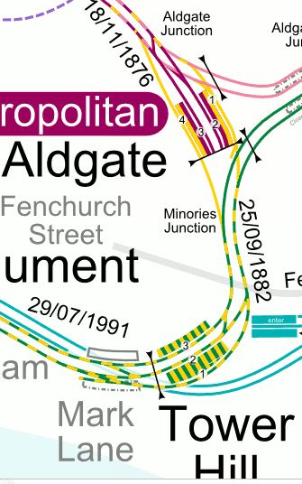
Note
- The two platforms at Aldgate station are sandwiched between the two Circle Line tracks.
- The platforms are curved, which makes step-free access difficult.
I suspect fitting in three straight platforms and full step-free access in the existing station will be very difficult.
This Google Map shows the general area around Aldgate station.

Certainly South of Aldgate High Street, there seems to be a site that could be ripe for development.
Are the District and Circle Lines underneath?
In a comment to this post, Melvyn says that the station could be redeveloped. He said this.
I did read a proposal to make Aldgate accessible linked to property development so this would mean a redesign of the station which could lead to removal of one of the terminal tracks.
I think I will conclude, that whatever happens at Aldgate station, there is no way, the station can handle more than twelve tph.
Could Extra Trains Be Turned At Barking?
This map from carto.metro.free.fr shows Barking station and the sidings to the East.
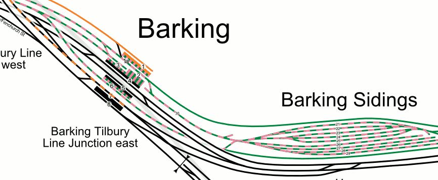
If the eight tph from Uxbridge turned back at Barking, that would mean that seventeen tph would need to be handled at the station.
I’m fairly certain, that this number of trains could be turned at Barking.
It is also worth noting in the map, the cross-platform interchange with c2c.
Could Extra Trains Be Turned At Upminster?
Upminster station has a depot with an impressive maze of sidings to the East.
As the station also has three platforms for District Line trains, I believe the station can handle more than the twelve tph, that it does now!
Increasing The Core Frequency
Suppose extra trains were to be run between Baker Street and Liverpool Street stations.
Ideally, eight extra tph would need to be run to use the maximum capacity of the route.
Where Would The Extra Trains Go In The West?
Extra trains could possibly be run to Hammersmith station, as the three-platform station can probably handle more trains than the twelve tph it does now.
If Edgware Road station is at maximum capacity, then no more Circle Line trains could be run.
But with a rebuild of Edgware Road station in the future, would allow perhaps up to an extra four tph on the Circle Line.
But there could be a few more Hammersmith & City Line services.
There would also be the possibility of more Metropolitan Line services to Amersham, Chesham Uxbridge and Watford stations.
Where Would The Extra Trains Go In The East?
Consider.
- There are four bay platforms at Moorgate station,but are they currently the wrong side of the important Liverpool Street station.
- Moorgate station is being rebuilt for Crossrail and this may open up possibilities for using the bay platforms.
- Aldgate station is at full capacity.
- Extra trains can’t take the Circle Line as Edgware Road station is at frill capacity.
- With a rebuild of Edgware Road station, it might be possible to add four tph to the Circle Line.
So I come to the conclusion, that some extra services must go on to Barking and/or Upminster.
A Possible Timetable
If I assume the extra eight tph go all the way between Wembley Park and Upminster, this gives the following frequencies along the line.
- Wembley Park to Baker Street – 24 tph
- Baker Street to Liverpool Street – 32 tph
- Aldgate East to Barking – 29 tph
- Barking to Upminster – 20 tph
The terminals of the various services could be shared between Aldgate and Upminster.
I also suspect, that the new signalling will allow twelve tph instead of the current eight tph to be terminated at Baker Street station.
Uxbridge To Barking/Upminster Timings
These are the timings for various section of the route.
- Uxbridge to Baker Street – 38 minutes
- Baker Street to Liverpool Street – 13 minutes
- Liverpool Street to Barking – 25 minutes
- Barking to Upminster – 18 minutes
This means that Uxbridge to Upminster could take 94 minutes, with Uxbridge to Barking taking 76 minutes.
These may translate into the following round-trips.
- Uxbridge and Upminster – Four hours, which would need 32 trains.
- Uxbridge and Barking – Three hours, which would need 24 trains.
The current service between Uxbridge and Aldgate has a round trip of two hours, which needs 16 trains.
It would appear that if Uxbridge services go to an alternative terminal, then Barking would be a better choice.
Conclusion
It looks like, that it is very likely, that Metropolitan Line trains will run as far as Barking and/or Upminster stations.
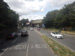
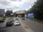
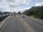
Can Between Rayners Lane And Uxbridge Stations Be Step-Free?
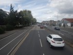
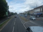
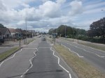
I took a Metropolitan Line train to Ucbridge station today and took these pictures, taken at stations between Rayners Lane and Uxbridge stations, where the line is shared between Metropolitan and Piccadilly Lines.

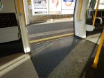
Note.
- Between platforms and Metropolitan Line trains access is generally good.
- Only Uxbridge and Hillingdon stations are fully step-free.
- There is no special provision for Piccadilly Line trains.
Making this section of line fully step-free is going to be difficult.
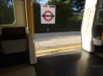
It may be very much step-free now for Metropolitan Line trains, but look at this picture of a Piccadilly Line train at Rayners Lane station.
This certainly won’t meet the spirit if not the law of the the Persons of Reduced Mobility regulations.
The Platform Edge Door Issue
This article in London Reconnections is entitled Upgrading the Piccadilly: Calling Time on Mind the Gap?. It is an article that is well worth reading.
This is said about the platform train interface.
On modern transport networks once a system is designed to be UTO-capable then a mandatory requirement almost always now follows – the network or line in question should have platform-edge doors at all stations, including the above ground ones. Furthermore platform levels must be aligned with the floor level of the trains.
UTO means Unattended Train Operation.
I put London Reconnections on my list of trusted sites like The BBC, The Guardian, The Financial Times and several railway web sites, so I would rate this interpretation correct.
The new Piccadilly Line trains will certainly be built to be UTO-capable, as on past form, they will be built to last at least forty years. Could we guarantee that UTO won’t come in during their lifetime?
Note that one of the regulations associated with trains being UTO-capable, is that platform and train floors must be aligned.
This is not only good for passengers, including those in wheelchairs and buggies, and those overloaded with shopping, but it’s also good for train companies, as dwell times at stations can generally be reduced and staff don’t have to deal with cumbersome wheelchair ramps.
But, I think that these regulations mean that it is very difficult for two types of train to share the same platform.
This principle was probably obvious to the engineer, who designed the platforms at Stratford station in the 1930s, where main line services are on one side and the Central Line is on the other.
The principle certainly seems to be involved in the design of the tram-train interchange platforms at Rotherham Central station.
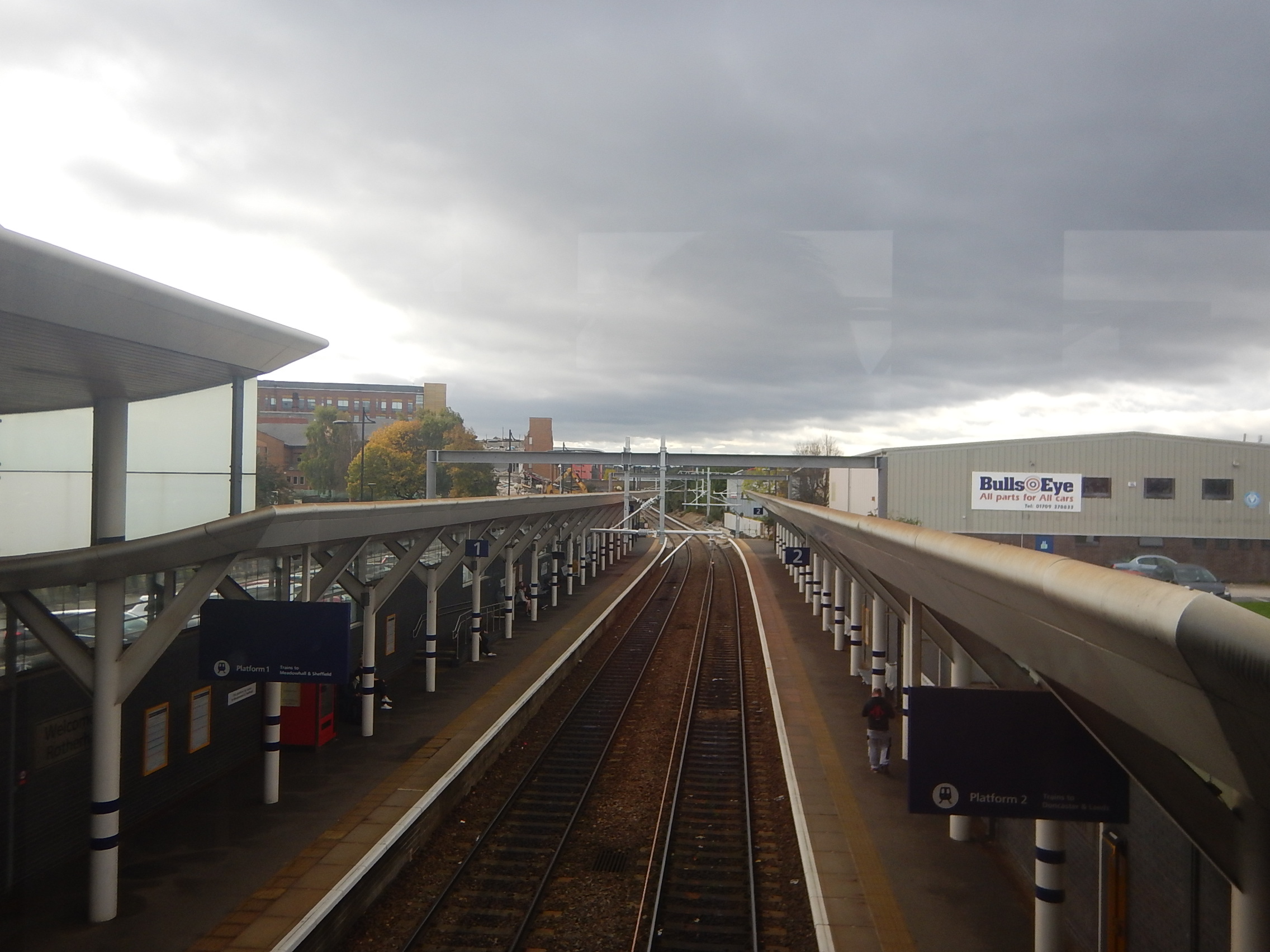
Lower level extensions are being built at the Sheffield (far) ends of the platforms, so passengers changing, will just walk along the platform.
- The longer high-level section will be able to handle the longest train likely to call, which will probably be about eight-cars.
- The shorter low-level section will be able to handle the longest tram likely to call, which will probably be a forty metre Class 399 tram-train.
It’s a simple layout, but it would mean a very long platform, if it were to be used with sub-service and deep-level Underground trains sharing a platform.
Applying The Regulations Between Rayners Lane And Uxbridge Stations
I believe these regulations will mean that only three ways to meet the regulations are possible.
- Separate tracks and platforms between Rayners Lane and Uxbridge stations.
- Extremely long bi-level platforms.
- Only one type of train serves the branch.
The first two options would probably be too expensive, but I believe that by good design and some clever reworking of the tracks at Rayners Lane station.
A Redesigned Rayners Lane Station
So could Rayners Lane station be redesigned to meet all the regulations and provide a much-improved passenger experience.
Step-Free Access
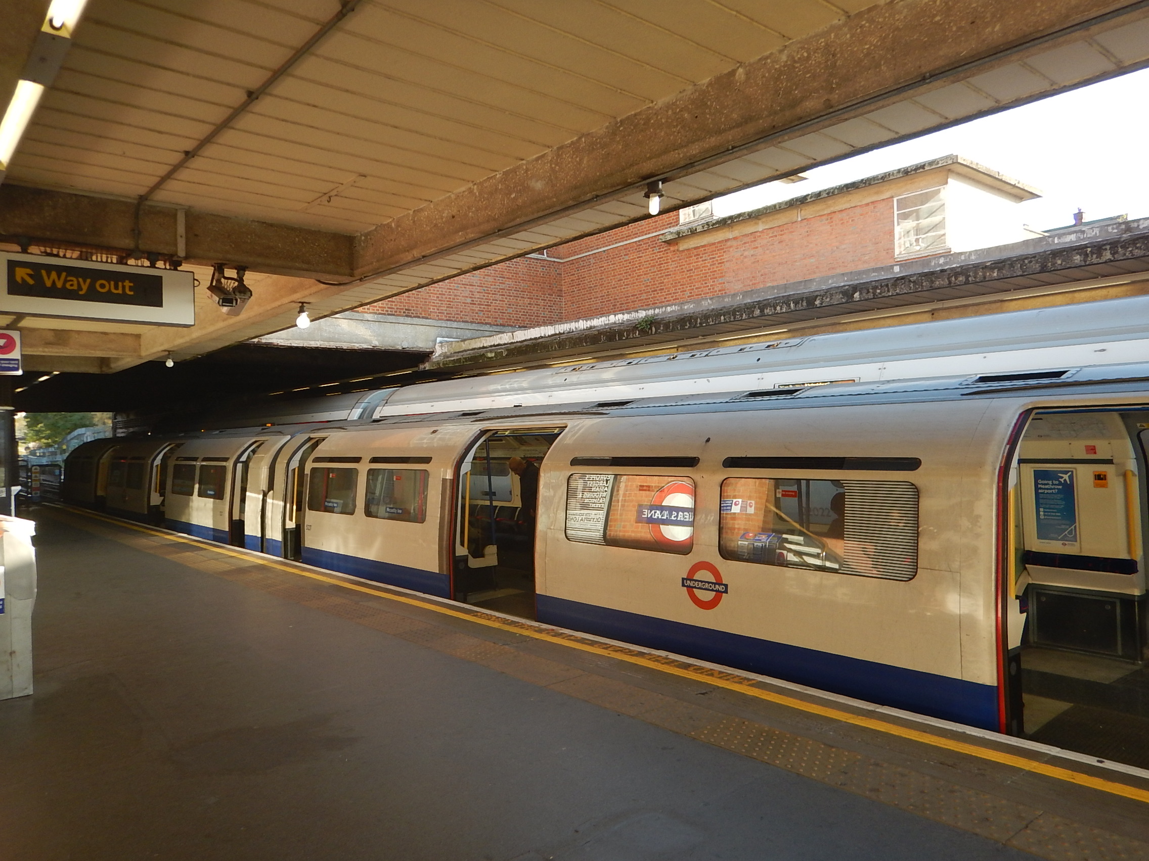
This picture shows the 1930s stairs at Rayners Lane station.
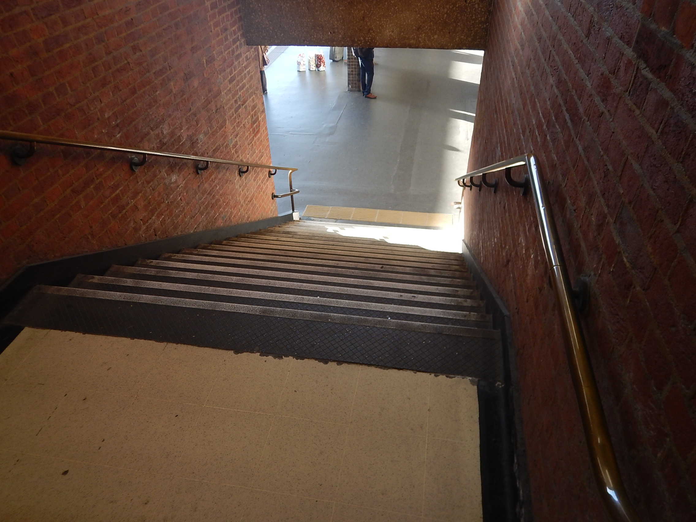
The station may be Grade II Listed, but this is not acceptable any more.
As is the platform-train interface shown in the first picture!
|Adding lifts and improving the stairs will be a major undertaking.
The Metropolitan Line Service
The Peak service is ten trains per hour (tph) in both directions, with a reduction to eight tph in the Off Peak.
Once the Four Lines Modernisation (4LM) is completed in 2023, these frequencies will be increased.
The journey between Aldgate and Uxbridge stations currently takes an hour.
This journey time is awkward from the point of scheduling the trains. The new signalling will probably reduce this to such a time, that the train could do the journey, turnround and be ready to return within an hour.
This would mean a higher frequency of trains without adding to the fleet. Although, it will probably mean that more drivers will need to be trained, which is a lot more affordable and easier, than buying new trains.
I feel that 10 tph might even be possible with the existing fleet and the new signalling.
But the new signalling will probably allow more semi-fast trains to operate, which might mean an extremely customer-friendly 12 rph were possible all day.
The Piccadilly Line Service
The Peak service is twelve trains per hour (tph) in both directions, with a reduction to six tph in the Off Peak.
Half the trains reverse at Rayners Lane station.
The journey between Kings Cross St. Pncras and Uxbridge stations currently takes an nine minutes over the hour.
The Rayners Lane To Uxbridge Service
Adding the two services together gives a Peak service of twenty-two trains per hour (tph) in both directions, with a reduction to eleven tph in the Off Peak.
Terminating The Piccadilly Line At Rayners Lane Station
There would be advantages to terminating all Piccadilly Line services at Rayners Lane station.
- All Piccadilly Line trains would go through the same procedure at Rayners Lane station
- The journey time would be reduced by fourteen minutes, which would ease train scheduling.
- There would be no knock on effects, if either line had delays.
- Signalling and train control at Rayners Lane would be simpler.
But it would need a major rebuilding of the tracks and platforms.
On the Victoria Line, thirty-six tph are handled on two platforms at Walthamstow Central and Brixton stations or eighteen tph on each platform.
So could a single platform at Rayners Lane station handle the Piccadilly Line service?
If it could, it could even be positioned between the two Metropolitan Lines, with an island platform on either side, giving cross-platform operation in both directions.
But because problems do occur, there would probably be two terminal platforms for the Piccadilly Line, as there are at the end of most Underground lines.
I think terminating Piccadilly Line services at Rayners Lane station could be made to work well and provide step-free access at all stations West of Rayners Lane station.
Terminating The Metropolitan Line At Rayners Lane Station
I don’t believe the problems of terminating the Metropolitan Line service at Rayners Lane would be any more difficult, than terminating the Piccadilly Line, but it might offer advantages, after all the stations on the line had been rebuilt to accept the new UTO-capable Piccadilly Line trains.
- This would open the possibility of running trains under UTO between Acton Town and Uxbridge stations.
- Hillingdon Borough Council have been pushing for the Central Line to be diverted from West Ruislip to Uxbridge. This would become possible.
- The frequency all the way from Acton Town to Uxbridge could easily be raised.
As with terminating Piccadilly Line services at Rayners Lane station, I think that terminating Metropolitan Line services could be used to provide step-free access at all stations West of Rayners Lane station.
Could A Piccadilly Line Service Be Run Between Uxbridge and Ealing Broadway Stations?
In Is There Going To Be More Change At Ealing Broadway Station?, I wrote about rumours of a possible plan to create a new terminus for the Piccadilly Line at Ealing Broadway station, using the route currently used by District Line trains from Ealing Common station.
I came to the following conclusion.
But overall, because it sorts out step-free access in the area, I think it is a good proposal.
I just wonder, if it would be possible for trains to run between Uxbridge and Ealing Broadway station.
This Google Map shows where the Piccadilly Line to Rayners Lane and Ucbridge and the District Line to Ealing Broadway divide , a short distance North of Ealing Common station.
I think that creating the missing side of the triangular junction would be possible, thus allowing a service to be created between Ealing Broadway and Uxbridge stations.
- All stations would be made step-free and UTO-capable.
- Twelve tph could be run between Uxbridge and Ealing Broadway in both directions.
- Ten or welve tph would still be run between Uxbridge and Cockfosters.
- Twelve tph on both routes would mean a train every two and a half minutes between North Ealing and Uxbridge stations.
- The route would surely be ideal for running under UTO.
- A large area of Ealing, Hillington and Harrow would get a frequent link to Crossrail at Ealing Broadway.
- Extra stations could be added to the route to support development.
If the interchange at Rayners Lane were to be well designed, I doubt there would be any losers.
Could The Central Line Be Extended To Uxbridge?
In the Wikipedia entry for Uxbridge station, in the last sentence of a section called History, this is said.
The London Borough of Hillingdon announced in June 2011 that it would be lobbying Transport for London to have the Central line diverted from West Ruislip station to Uxbridge. Such a project would require a business case approved by TfL and the completion of signal upgrade work on the Metropolitan Line.
So would that be feasible?
Access To Uxbridge Station?
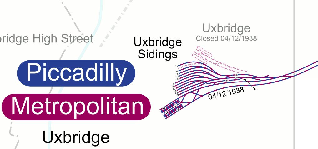
This map from carto.metro.free.fr shows the lines to Uxbridge and West Ruislip stations.
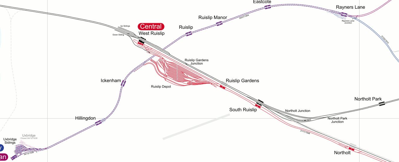
The lines in the map are as follows.
- black – Chiltern Main Line
- blue- Piccsdilly Line
- mauve – Metropolitan Line
- red – Central Line
The big red blob is the Central Line’s Ruislip Depot.
Uxbridge station is in the South-West corner.
This map from carto.metro.free.fr shows where all the lines cross at the North-West end of Ruislip Depot.
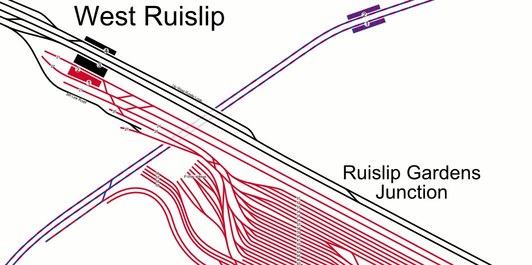
I suspect that an efficient connection can be made to allow the Central Line to go to Uxbridge instead of or as an alternative to West Ruislip station.
Note that at some point in the future, it is expected that both the Central and the Piccadilly Lines will use the same type of train. Will Ruislip depot be used for some Piccadilly Line trains, given its location close to Uxbridge station and the good connection?
Uxbridge Station
This map from carto.metro.free.fr shows Uxbridge station.
Note that Uxbridge station has three lines and four platforms.
- It would surely be much easier to handle the service, if all the trains terminating at Uxbridge were the same type.
- This would happen, if all Metropolitan Line trains terminated at Rayners Lane station.
- Two platforms could easily handle twenty-four tph for the Piccadilly Line.
- Two platforms could easily handle nine tph for the Central Line.
Uxbridge would become a very busy station.
Conclusion
There are a lot of possible improvements that can be done to the train service to Uxbridge.
Uxbridge Station
These pictures show Uxbridge station.


Note.
- The station was designed by Charles Holden and is Grade II Listed.
- It is in the centre of Uxbridge, which is where it should be!
- It is step-free.
- It’s got a beautiful station clock.
It is a station that has great potential for turning it into one of the London Underground’s best stations.
