East-West Rail: Electrification
The first paragraph of the Wikipedia entry for the East West Railway, says this about electrification.
As of March 2020, electrification of the line is not planned, but the 2019 decision (to rule it out) is under review.
But I don’t think it’s a simple decision of electrify or not!
These observations are guiding my thoughts.
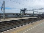
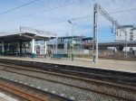
Milton Keynes Central Station
This OpenRailwayMap shows the platforms and whether they are electrified in Milton Keynes Central station.
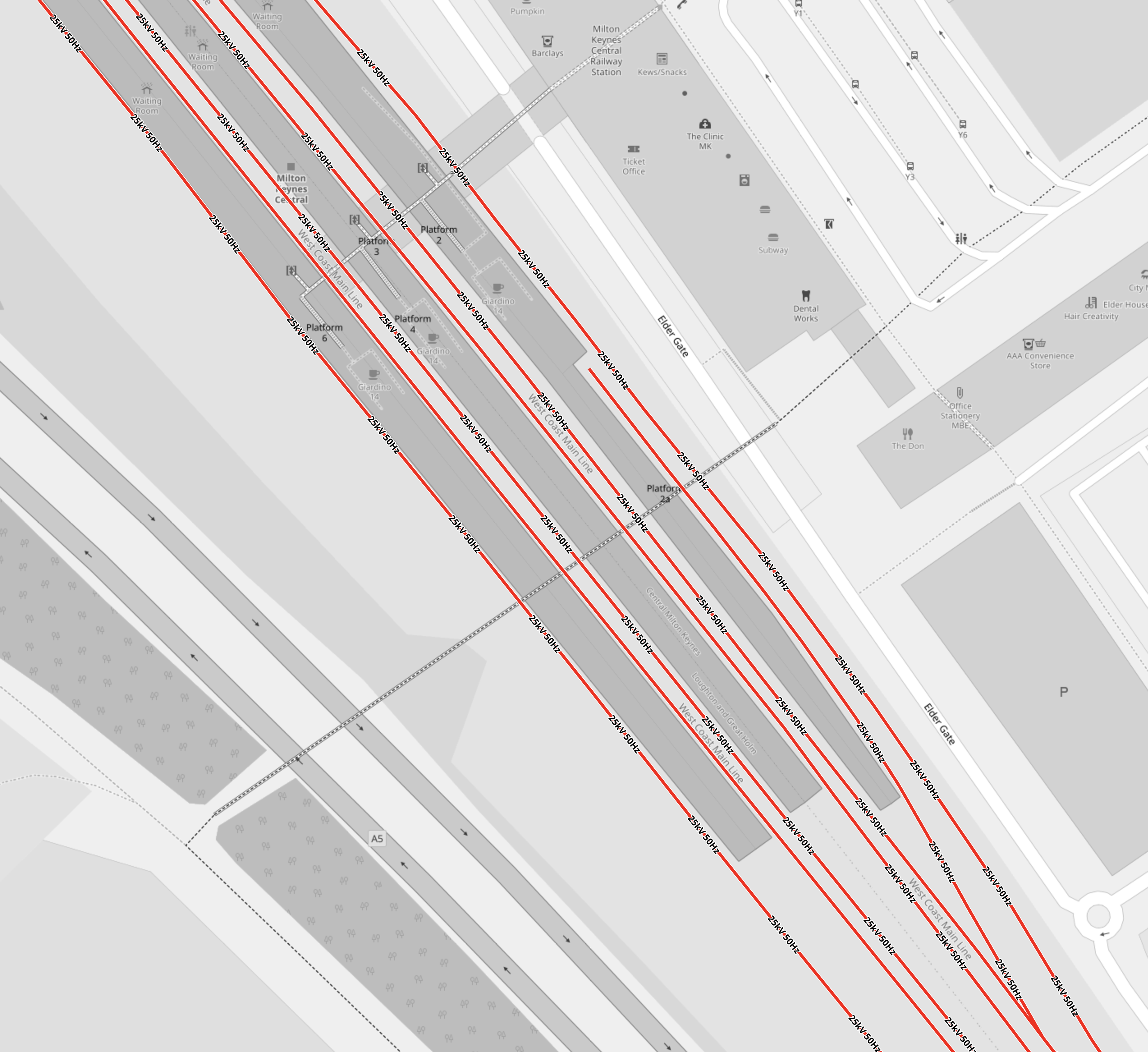
Note.
- Lines shown in red are electrified with 25 KVAC overhead wires.
- The short platform is Platform 2A, which can take a five-car train and was built recently to terminate the Marston Vale Line service.
- Could Platform 2A be ideal for handling and charging, battery-electric trains, that terminate in Milton Keynes station?
The Wikipedia entry for Milton KeynesCentral station, has a section called Platforms and Layout, which gives full details.
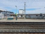
Bletchley Station
This OpenRailwayMap shows the platforms and whether they are electrified in Bletchley station.
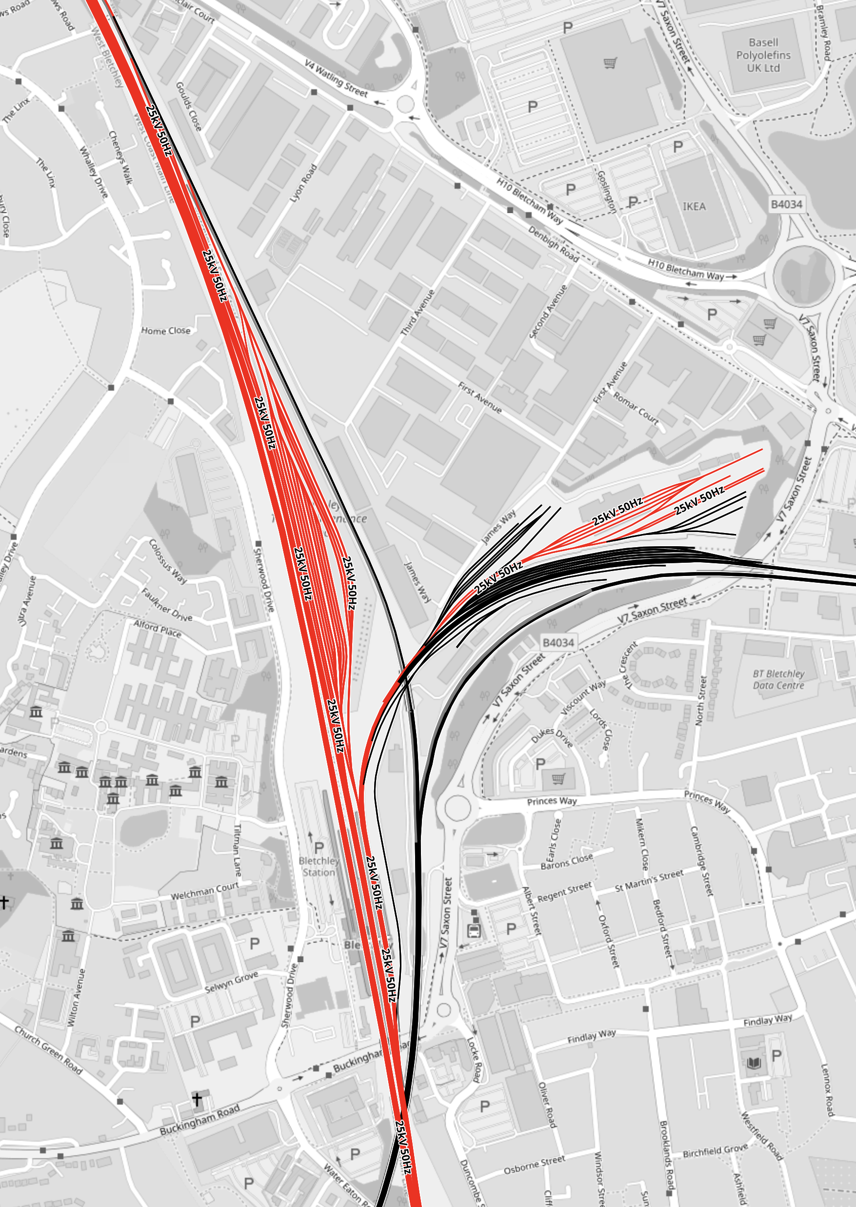
Note.
- Lines shown in red are electrified with 25 KVAC overhead wires.
- The wide swath of red going North is the West Coast Main Line.
- The smaller patch of red to the East of the West Coast Main Line are electrified sidings.
- All low-level platforms at Bletchley station are electrified.
- The viaduct platforms, are shown in black as they are not electrified.
- A non-electrified line leads North-West from the viaduct towards Milton Keynes Central.
- The Milton Keynes end of the line between Milton Keynes Central station and the viaduct is electrified.
- A non-electrified line leads North-East from the viaduct towards Fenny Stratford and Bedford.
The Google Map shows a 3D visualisation of Bletchley station.
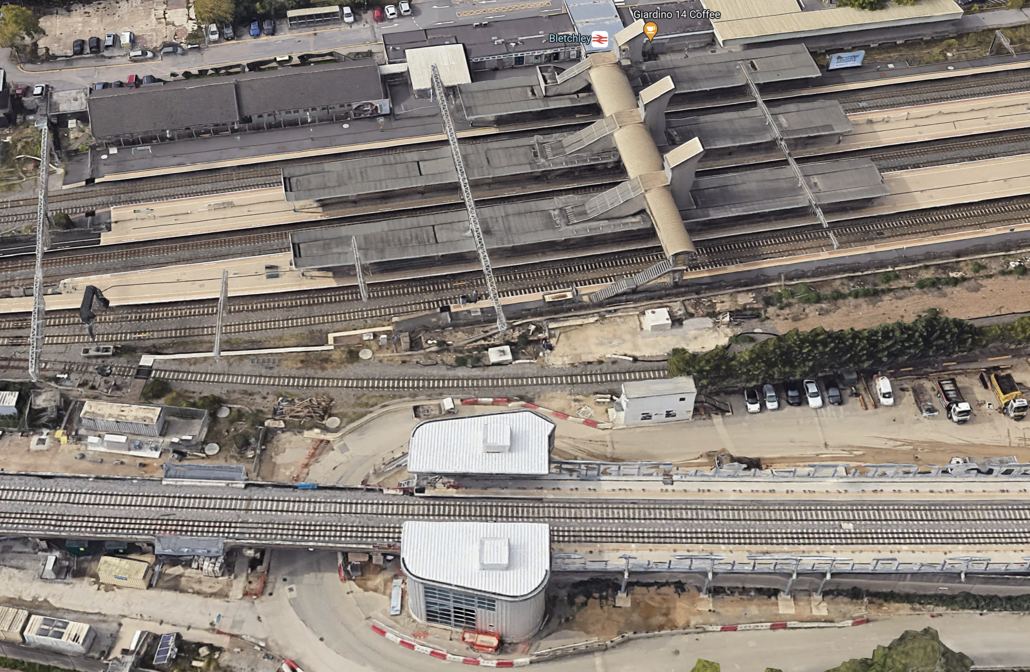
I can’t see much sign of any electrification.
Bedford Station
This OpenRailwayMap shows the platforms and the electrification around Bedford station.
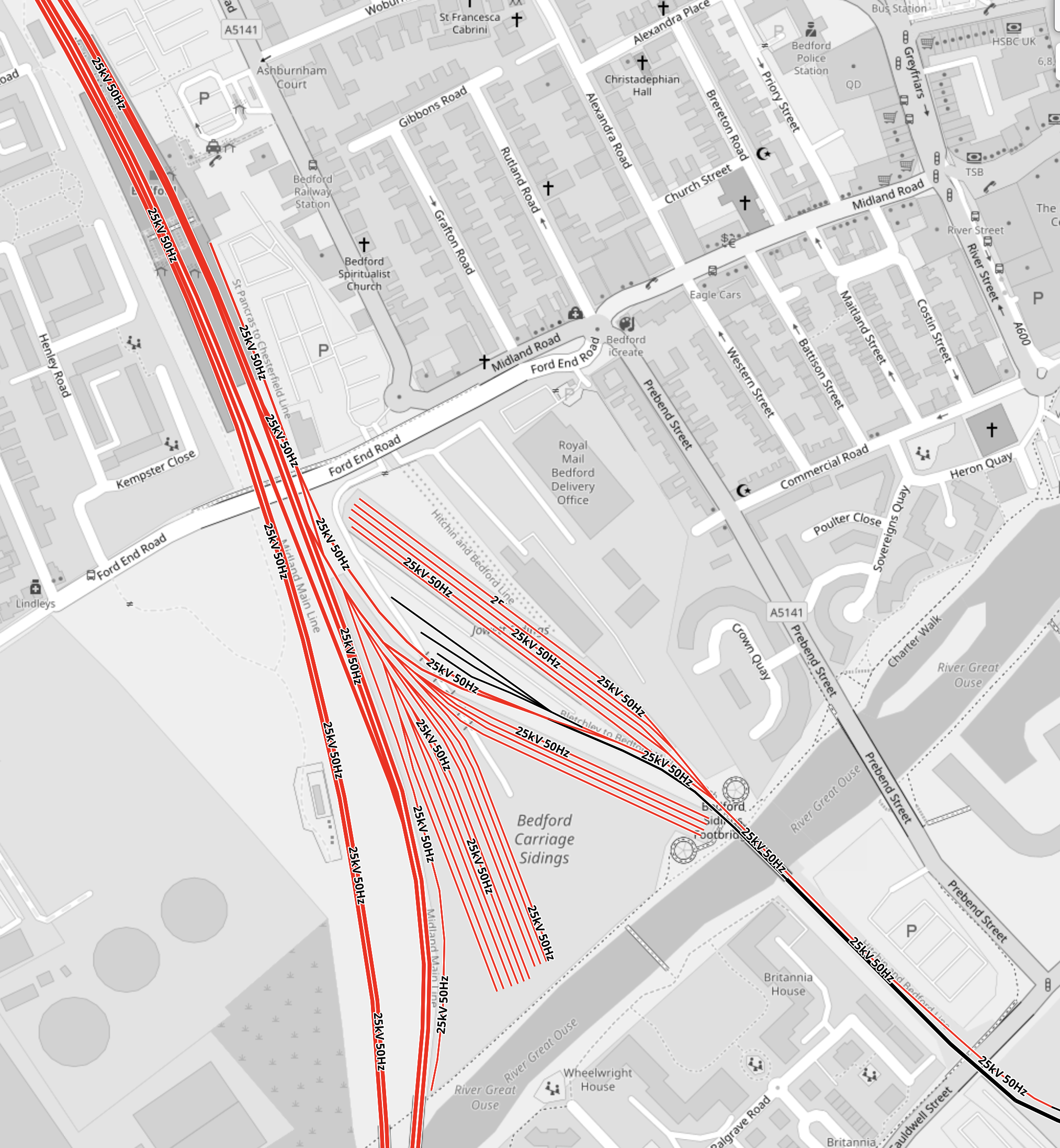
Note.
- All platforms at Bedford station are electrified.
- The lines to the West of the station are the electrified Midland Main Line.
- The Marston Vale Line services terminate in the short Platform 1A, which is the South-East corner of the station.
- The track into Platform 1A is electrified for about two hundred metres, through the sidings South of the station.
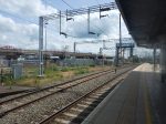
This picture shows the electrified track as it crosses over the river.
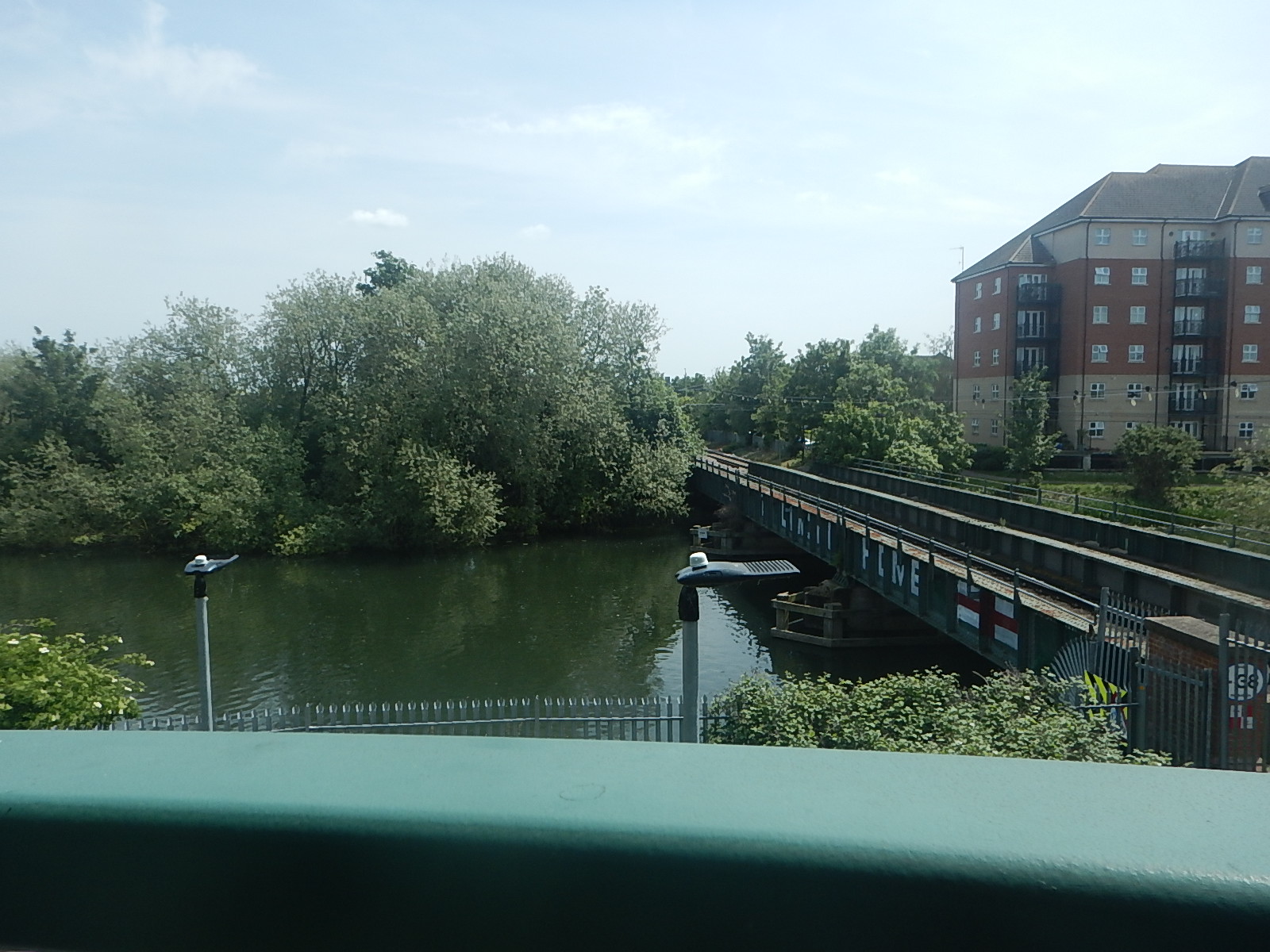
Could Platform 1A be ideal for handling and charging, battery-electric trains, that terminate in Bedford station?
It’s odd that there is the same platform layout at both ends of the Marston Vale Line.
Is it just a coincidence or does Engineer Baldrick have a cunning Plan?
Oxford Station
This OpenRailwayMap shows the platforms and the electrification around Oxford station.
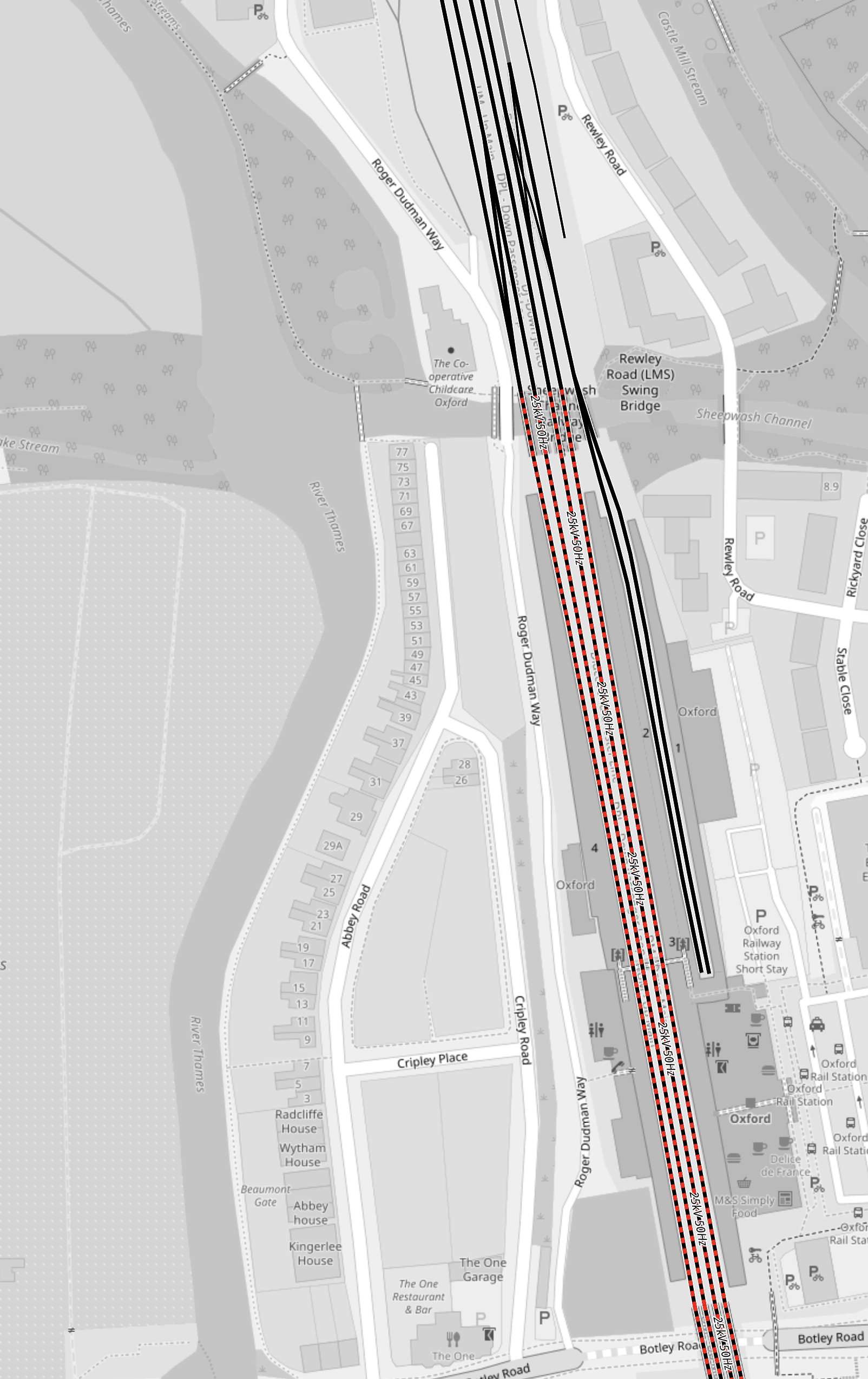
Note.
- The dotted red and black tracks, indicate electrification is planned.
- The planned electrification will connect Oxford station to Didcot Junction station.
- The two bay platforms at the North of the station are not electrified and Platform 2 is now used by Chiltern’s London services.
- Platform 1 could be used by trains on the East West Railway that terminate at Oxford.
When Oxford station is electrified, it wouldn’t be the largest project to add 25 KVAC overhead electrification to the two bay platforms.
Aylesbury Station
This OpenRailwayMap shows the platforms and the lack of electrification around Aylesbury station.
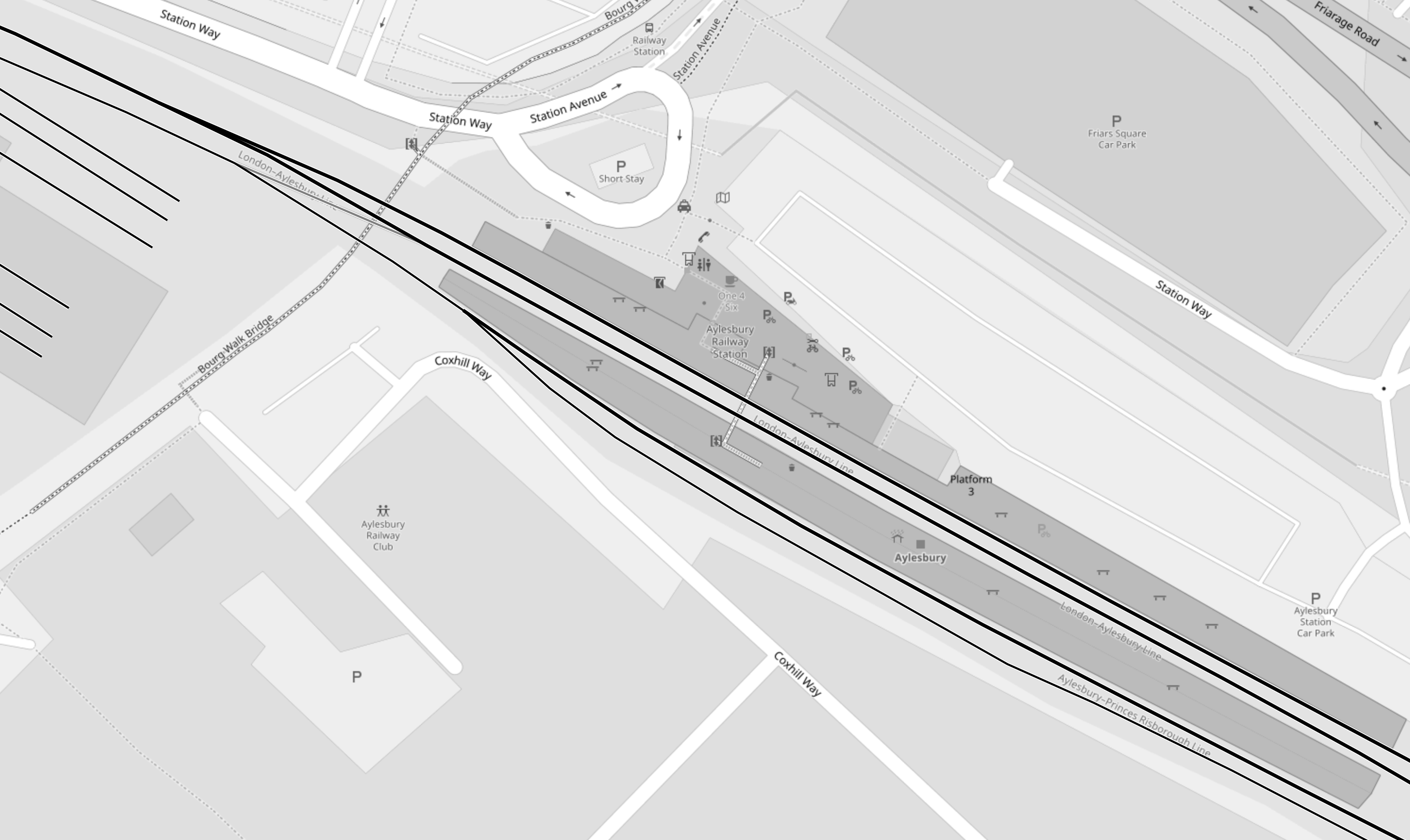
Note.
- No tracks are electrified.
- Platforms are numbered 3, 2, 1 from the top, so 2 and 3 are paired in the middle.
- All freight trains go through Platform 2 and most seem to go via Princes Risborough and High Wycombe.
- Chiltern services use Platforms 1 and 3.
Putting a charging system in Aylesbury station could be tricky.
I wonder if the simplest system for East West Railway would be to electrify between Aylesbury and Aylesbury Vale Parkway stations.
Chiltern Railway’s time between the two stations is as much as seven minutes.
Some trains to Aylesbury take over twenty minutes to do the short journey to Aylesbury Vale Parkway and return, which is more than enough to fully-charge a battery-electric train.
You can even have Chiltern’s hourly Aylesbury Parkway service, sharing the same stretch of electrification with East West Railway’s Aylesbury service, as there is a loop, which creates double-track for some of the way.
It should be noted that between Marylebone and Aylesbury Vale Parkway stations is only 41.1 miles, so some battery-electric trains could do that with a full charge at one end.
East West Railway Distances
In Trains Needed For The East West Railway, I calculated some of these distances.
- Oxford and Bedford – 46.8 miles
- Oxford and Milton Keynes – 33.4 miles
- Aylesbury and Milton Keynes – 25.9 miles
With charging at both ends, all of these routes are possible using modern battery-electric trains, where even a Class 777 IPEMU, designed for extending Merseyrail’s suburban network has done 84 miles on one charge.
On To Cambridge
In this document on the East-West Rail Consortium web site, these services are suggested, for when the East West Railway is complete.
- An hourly train via Norwich terminating at Great Yarmouth.
- An hourly train via Ipswich terminating at Manningtree.
These are distances on these routes that are not electrified, that are to the East of Cambridge.
- Ely and Norwich – 53.7 miles
- Norwich and Great Yarmouth – 18.3 miles
- Cambridge and Haughley Junction – 40.3 miles
Note.
- The Manningtree service would be able to charge its batteries after passing Haughley junction going East and it would be nearly an hour before it needed to use the battery for traction.
- If the Yarmouth service could handle the full route on batteries, then it could return to Cambridge with an efficient charger at Great Yarmouth, which for 25 KVAC overhead electrification trains is an off the shelf item.
- But it does look to me that the trains must leave Cambridge with full batteries, so they can reach electrification at Bedford, Haughley or Norwich.
This map shows the route of the East West Railway between Bedford and Cambridge.
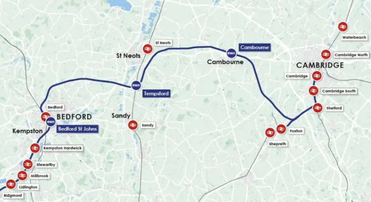
Note.
- Bedford is on the electrified Midland Main Line to London.
- Tempsford is on the electrified East Coast Main Line to London.
- Cambridge has two electrified main lines to London.
- These connections should ensure a good power supply to the East of Bedford for electrification.
I suspect the easiest option will be to add some more electrification at one or more of these places.
- At the Eastern end of the Bedford and Cambridge section.
- To the West of Haughley junction, when it is rebuilt.
- To the North of Ely, when the railways in that area are improved.
Although, as it will be a new route, it might be best to build Bedford and Cambridge as an electrified railway.
East-West Rail: Along The Marston Vale Line
For the initial phase of the East West Railway, it doesn’t appear that the Marston Vale Line will be improved.
As I write this, I have not heard of any improvements between Bedford and Bletchley.
Perhaps, with all the arguments about the section of the East West Railway between Bedford and Cambridge, the Government, Network Rail and the East West Railway feel that the best approach, is to do what they can with the existing track layout and the rebuilt viaduct at Bletchley.
These are my thoughts.
The Capacity Of The Marston Vale Line
In the Wikipedia entry for the Marston Vale Line, this is said about the infrastructure of the line.
Apart from a short length of single track at both ends, the line is double track, and is not electrified. It has a loading gauge of W8 and a line speed of 60 miles per hour (97 km/h). The line’s signalling centre is at Ridgmont.
The line has a length of only 16.5 miles.
I believe with modern signalling and well-trained drivers, that the line could accommodate at least two trains per hour (tph) in both directions.
At its simplest every half hour, a train would leave both end stations and the two trains would pass each other on the long double-track section in the middle.
Proposed Train Services
Train services on the East West Railway will be as follows, when it opens between Oxford and Milton Keynes and Bedford, are proposed to be as follows.
- 2 tph – East West Railway – Oxford and Milton Keynes Central via Oxford Parkway, Bicester Village, Winslow and Bletchley
- 1 tph – East West Railway – Oxford and Bedford via Oxford Parkway, Bicester Village, Winslow, Bletchley, Woburn Sands and Ridgmont
- 1 tph – West Midlands Trains – Bletchley and Bedford via Fenny Stratford, Bow Brickhill, Woburn Sands, Aspley Guise, Ridgmont, Lidlington, Millbrook, Stewartby, Kempston Hardwick and Bedford St Johns
If the East West Railway uses the Marston Vale Line between Bletchley and Bedford, then there will be two tph along the Marston Vale Line.
I believe that if the Marston Vale Line is not improved until later, then the proposed initial train service pattern can be achieved.
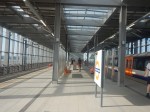
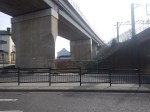
The New Bletchley Viaduct
The tracks appear to have been laid on the Bletchley Viaduct.
This Google Map shows the tracks on the viaduct.
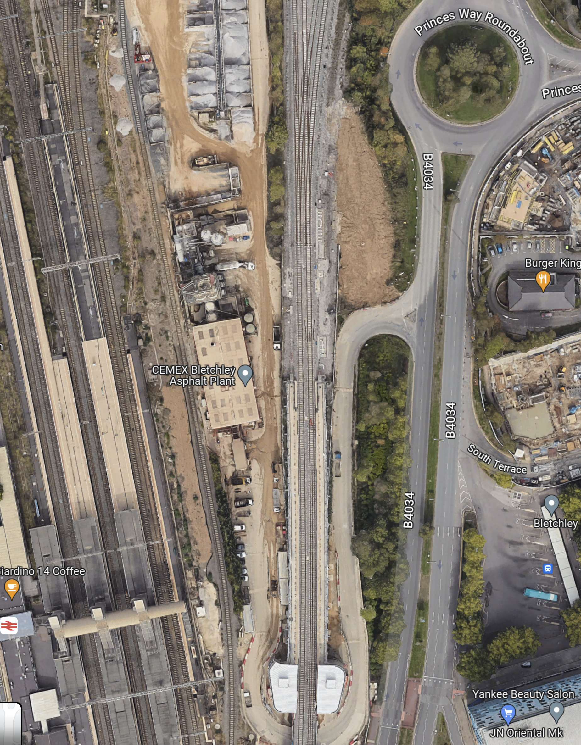
Note.
- The double-track viaduct runs North-South in the middle of the map.
- The two platforms appear to be substantially complete.
- The two lift and stair towers are at the Southern end of the platforms.
This second Google Map shows the section of the viaduct by the roundabout.
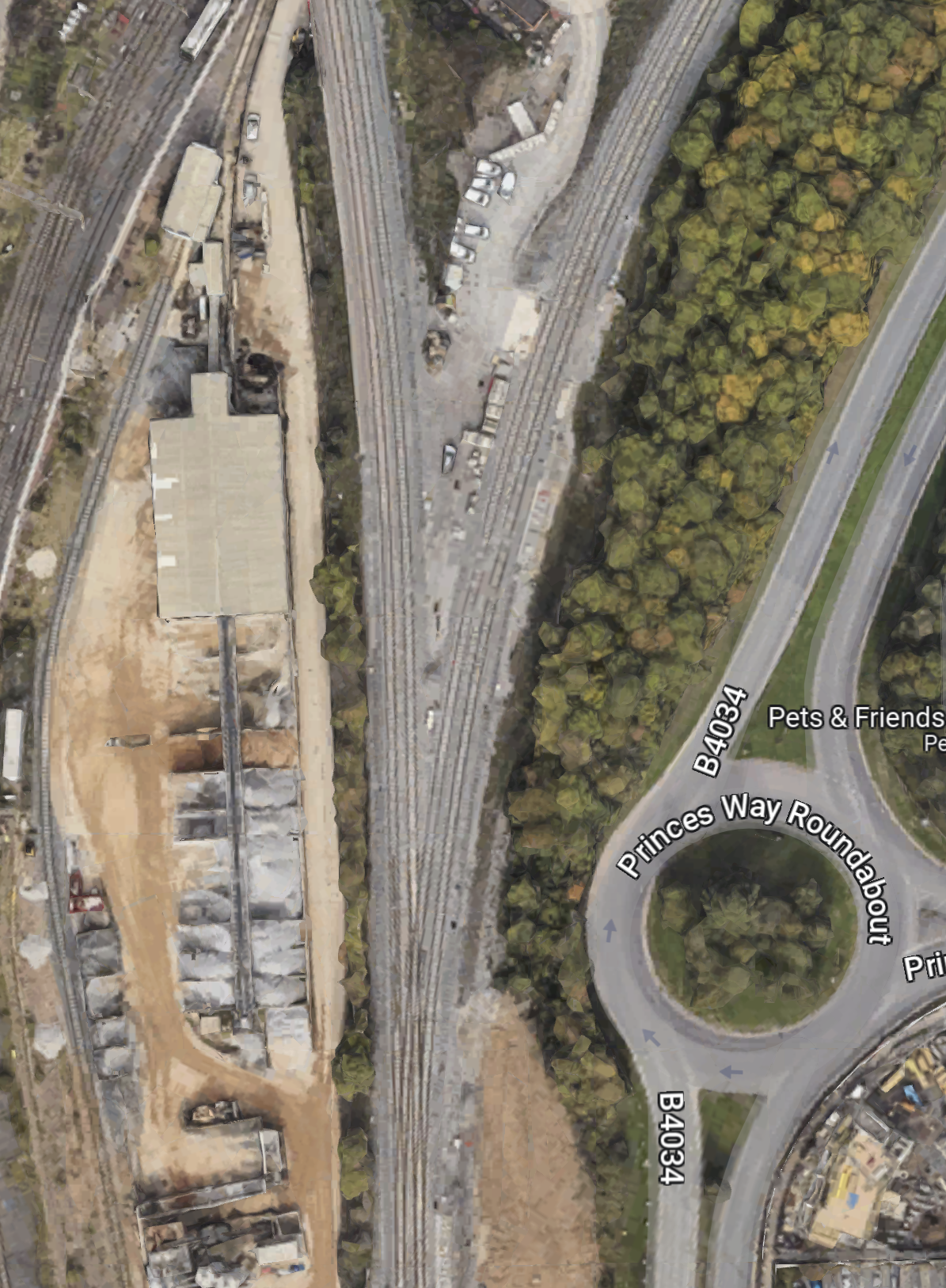
Note.
- The viaduct splits with two tracks going North-West to Milton Keynes Central and two tracks going North-East to Bedford.
- There is a complicated junction, which appears to allow a lot of flexibility for train operations.
I have followed the Milton Keynes tracks and there are cross-overs, so that trains can go between Platform 2A at Milton Keynes Central station and either of the viaduct platforms at Bletchley station, which they will need to do to run services between Oxford and Aylesbury, and Milton Keynes Central.
This Google Map shows the tracks between the viaduct and Fenny Stratford, which is the first station towards Bedford.
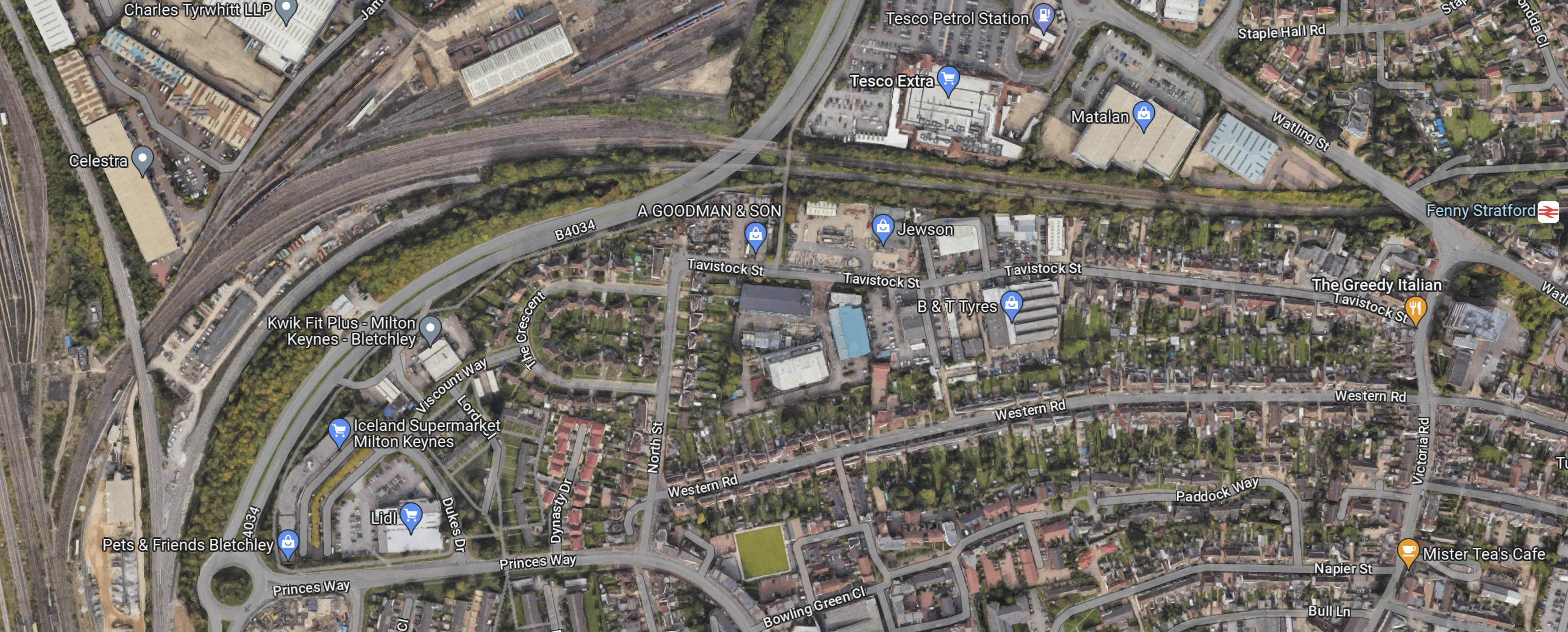
Note.
- The Princes Way roundabout in the West of the map.
- The Milton Keynes and Bedford tracks divide close to the roundabout.
- Fenny Stratford station in the East of the map.
- The tracks gradually combine from West to East, so there is only one track for the single platform at Fenny Stratford station.
This Google Map shows the Western section of the tracks between the viaduct and Fenny Stratford.
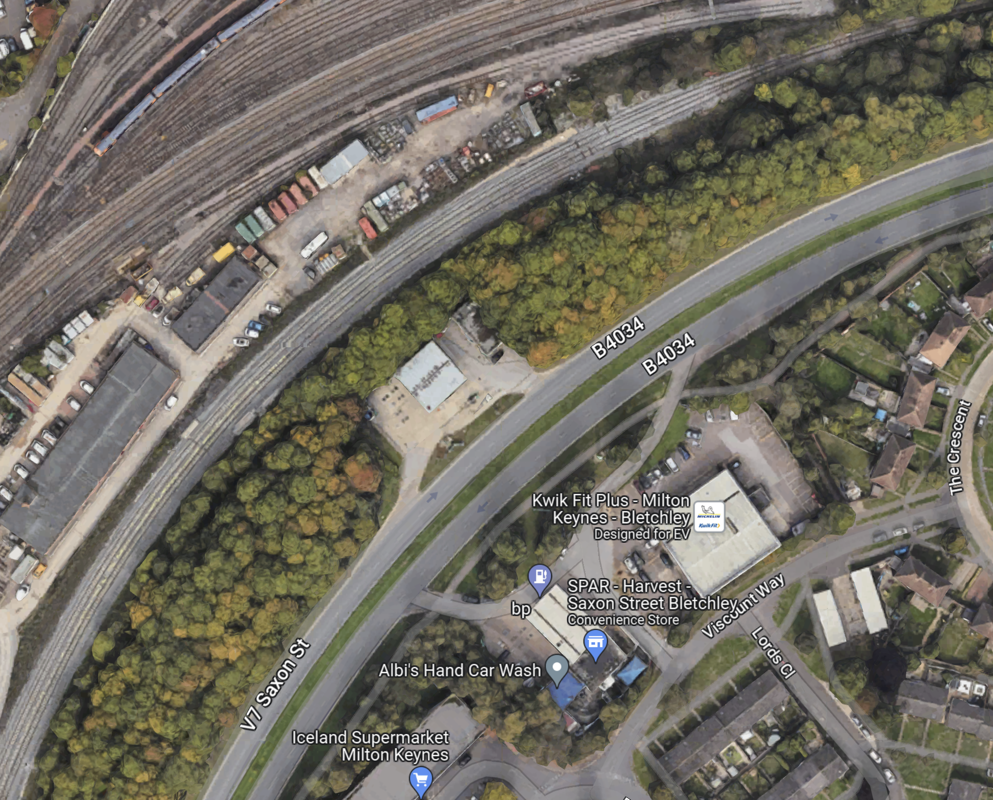
Note, how the two tracks on the viaduct join into one for going towards Fenny Stratford in the North-East corner of the map..
I’m certain, that this track layout, allows a train to go between the single platform at Fenny Stratford station and either of the viaduct platforms at Bletchley station.
A Milton Keynes Central And Bedford Service
In the Wikipedia entry for the Marston Vale Line, there is a section, which is entitled Extension to Milton Keynes Central, where this is said.
In June 2005, the then franchisee, Silverlink Trains announced an intention to extend the Marston Vale service via the West Coast Main Line to Milton Keynes Central, where a new platform and track would be built alongside the up slow track. Work began on 4 December 2006 at the station to prepare for a service connection. The platform was ready for use in January 2009 but the service did not materialise and there are no longer any published plans for it to do so. A firm service pattern on East West Rail remains to be announced but the illustrative pattern has no Bedford–Milton Keynes Central service; passengers will continue to have to change at Bletchley. There is no east-to-north chord between this line and the WCML: As of December 2020, the route the chord might take is occupied by trade outlets and a warehouse.
But.
Supposing a Milton Keynes to Bedford train did this.
- It ran from Platform 2A at Milton Keynes Central to the Northbound platform on the Bletchley viaduct.
- It would then reverse and run to Bedford along the Marston Vale Line.
- It would terminate in Platform 1A at Bedford station.
And supposing a Bedford to Milton Keynes train did this.
- It ran from Platform 1A at Bedford to the Northbound platform on the Bletchley viaduct.
- It would then reverse and run to Milton Keynes Central along the tracks alongside the West Coast Main Line.
- It would terminate in Platform 2A at Milton Keynes Central station.
Note.
- There would be some bi-directional running.
- Trains would only reverse on the Northbound platform on the Bletchley viaduct.
- Platform 2A at Milton Keynes Central would handle 4 tph.
- Platform 1A at Bedford station would handle 2 tph.
As the only reversing happens on the Northbound platform on the Bletchley viaduct, would it be sensible for a new driver to step-up, so that the reverse was fast?
I believe that with some innovative running, that a Milton Keynes and Bedford service is possible, because of the comprehensive track layout that has been installed.
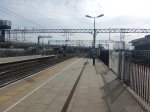
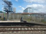
A First Trip To Barking Riverside Station
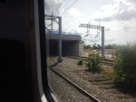
I took a first trip to Barking Riverside station this morning and took these pictures.
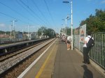
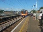

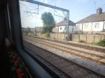
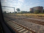
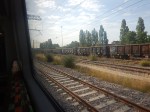
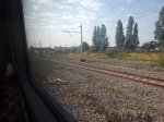
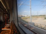
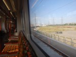
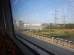
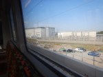
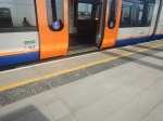
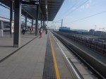
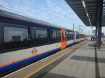

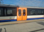
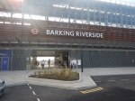
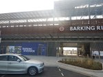
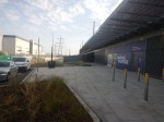
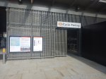


I have a few thoughts and observations.
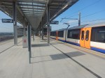
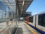
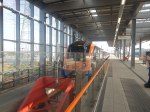
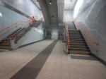
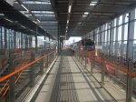
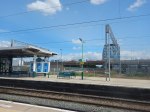
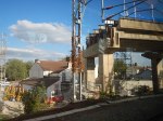
Bletchley Viaduct – 15th March 2022
The Bletchley Viaduct is now complete and the extra platforms of Bletchley station are under construction.


This visualisation from East West Rail shows an idea for the new station.
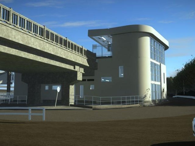
It would appear the visualisation was taken from somewhere near the roundabout on the East side of the viaduct.
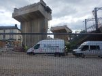
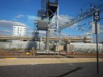
‘Box Structure’ Flyover Saves £70m And Six Months For East West Rail
The title of this post, is the same as that of this press release on Network Rail.
This is the first paragraph.
Engineers have saved £70m of taxpayers’ money by using creative new methods to build a railway flyover as part of the East West Rail project.
This Network Rail picture shows how the new flyover rests on a concrete box, that spans the West Coast Main Line (WCML).
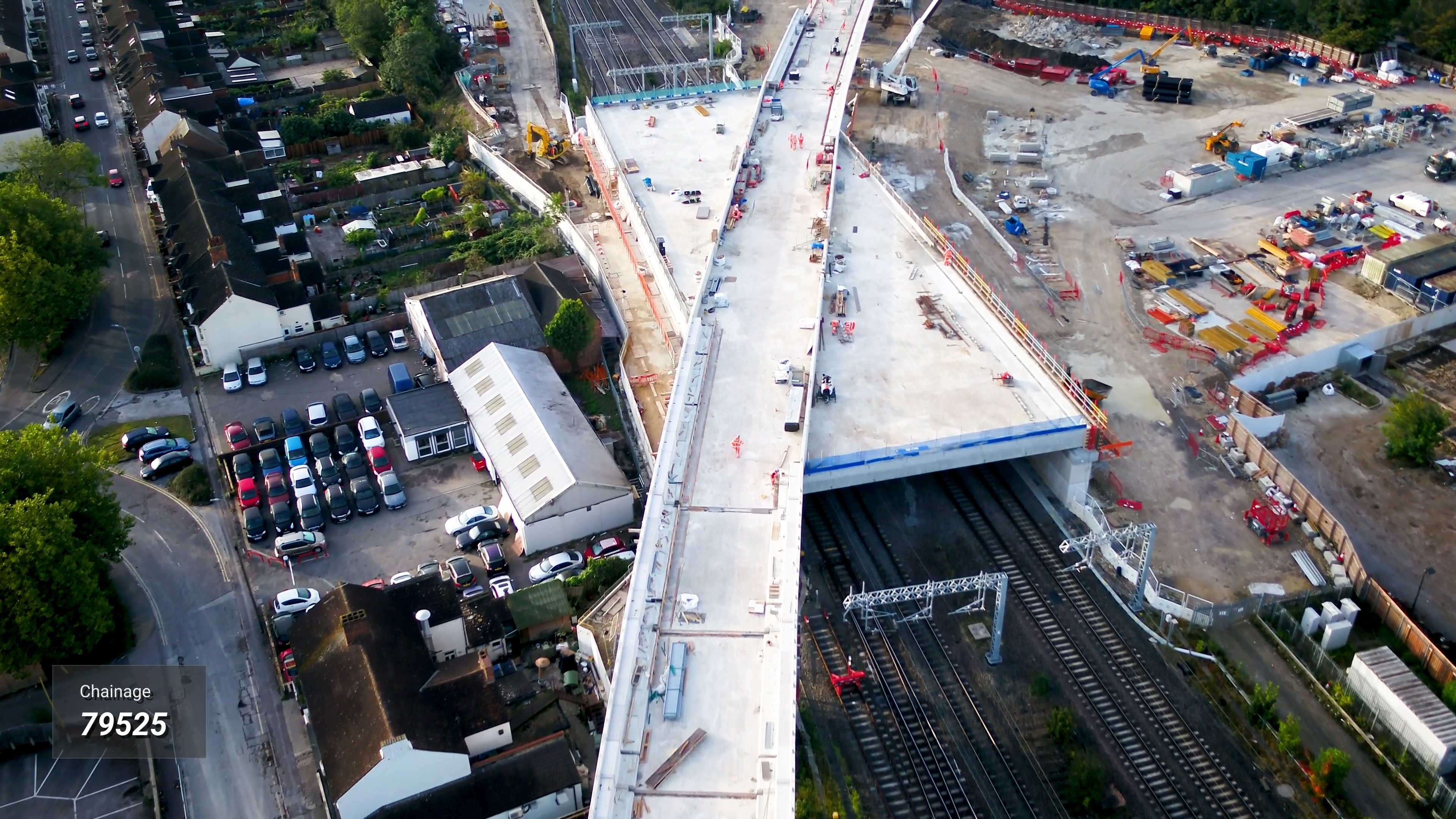
Note that the press release contains a video that explains how the flyover was replaced and why the method of construction saved all the money and time.
The main cost savings came about because of the following.
- Construction could go on above the WCML without having to stop the trains.
- Components for the flyover were made in a factory, with subsequent cost reductions and quality increases.
Anybody, who’s ever poured a concrete slab in typical British weather will understand the second point.
According to the press release, the method of construction gives a hundred and twenty year life span for the structure.
For comparison, this 3D Google Map visualisation shows the Hitchin flyover, which was opened in 2013.
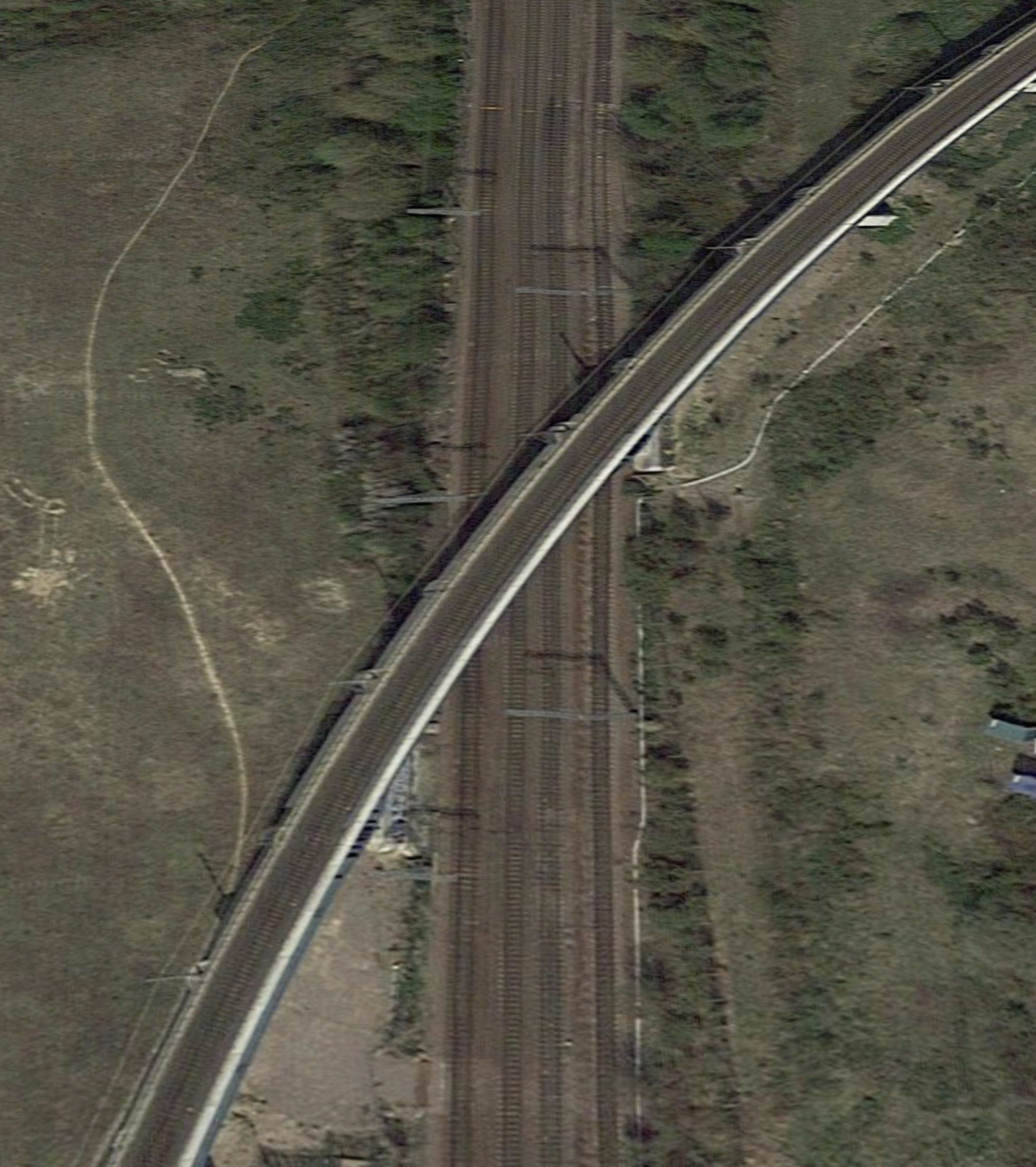
Note the columns supporting the single-track railway.
If this was being built today, would a box be used as at Bletchley?
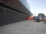
VolkerFitzpatrick To Construct Bletchley High Level Station
The title of this post, is the same as that of this article on Rail Technology Magazine.
Three visualisations and the words confirm a lot of the features of the station.
- Six low-level platforms on the West Coast Main Line and two high-level platforms on the East-West Railway.
- Full step-free access.
- The two new high-level platforms will be numbered 7 and 8 and be connected by an underpass.
- A new entrance on the Eastern side of the station.
From the visualisations, it doesn’t look to be a cheap and nasty design.
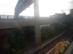
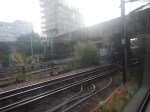
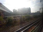
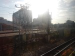
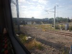
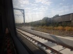
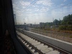
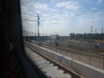
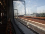
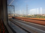
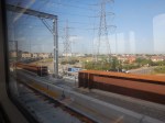
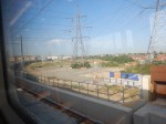
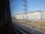
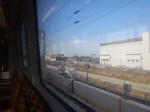
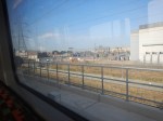
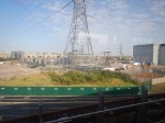
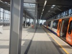
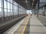
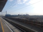
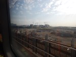
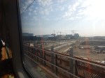
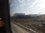
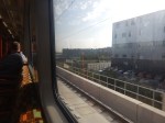
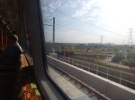
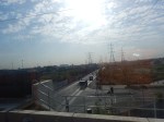
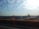
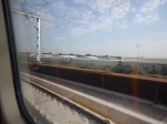
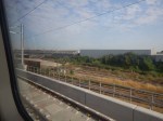
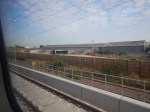
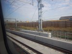
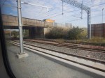
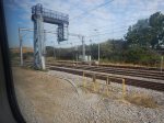
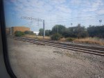
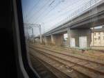
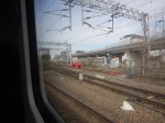
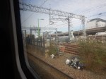
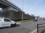
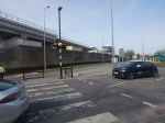
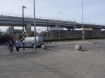
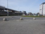
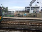
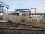
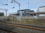
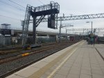
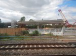
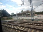
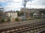
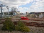
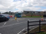
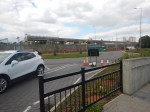
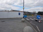
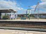
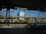
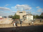
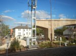
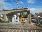
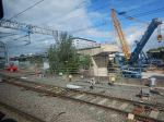
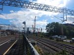
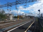
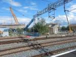
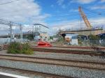
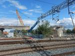
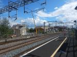
Bletchley Viaduct – 5th July 2021
I took these pictures of the new Bletchley viaduct today,
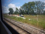
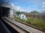
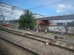
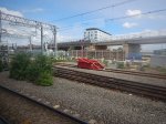
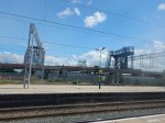
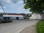
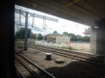
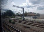
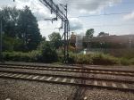
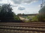
Note that there is now a bridge over the four tracks of the West Coast Main Line.
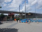
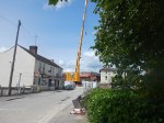
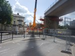
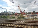
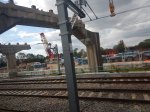
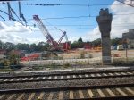
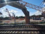
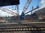
UK’s Largest Mobile Crane Swings Into Action In Barking
The title of this post, is the same as that of this article on the Barking And Dagenham Post.
This is the first two paragraphs.
The largest mobile crane in the country has swung into action to help extend a railway line.
The Gottwald AK680 – which has the capacity to lift 1,200 tonnes – installed steel beams for the remaining viaduct spans as part of the Barking Riverside extension (BRE) project.
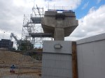
This crane certainly seems to get about.

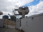
I think this picture shows the same crane in action at Bletchley in August. It was certainly claimed as the UK’s largest mobile crane.
Perhaps we need a rail-mounted version!
I always remember, a North Sea Oil project manager telling me, that as cranes got large it eased and speeded up construction.
This article on Vertikal gives more details of the crane in action.
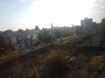
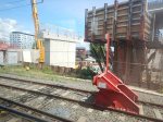
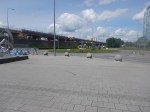
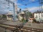
Bletchley Viaduct – 1st September 2020
Interestingly-shaped stumps are starting to appear.
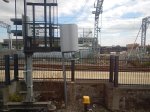
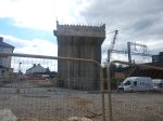
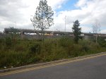
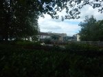
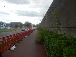
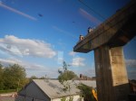
I think this will be my last visit, until they start to erect the new viaduct.
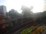
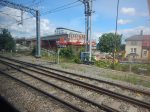
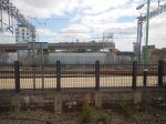
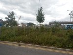
Bletchley Viaduct – 24th August 2020
The Bletchley Viaduct is falling down, as these pictures show.
Considering, that Lord Beeching said that the Varsity Line between Oxford and Cambridge shouldn’t be closed, I wonder how much money has been wasted over the years, by questionable engineering and Government decisions on this viaduct.
