Superloop – Will It Be The North Circular Road Most Of The Way Between Harrow And Royal Docks?
This draft map from TfL illustrates the concept of Superloop.
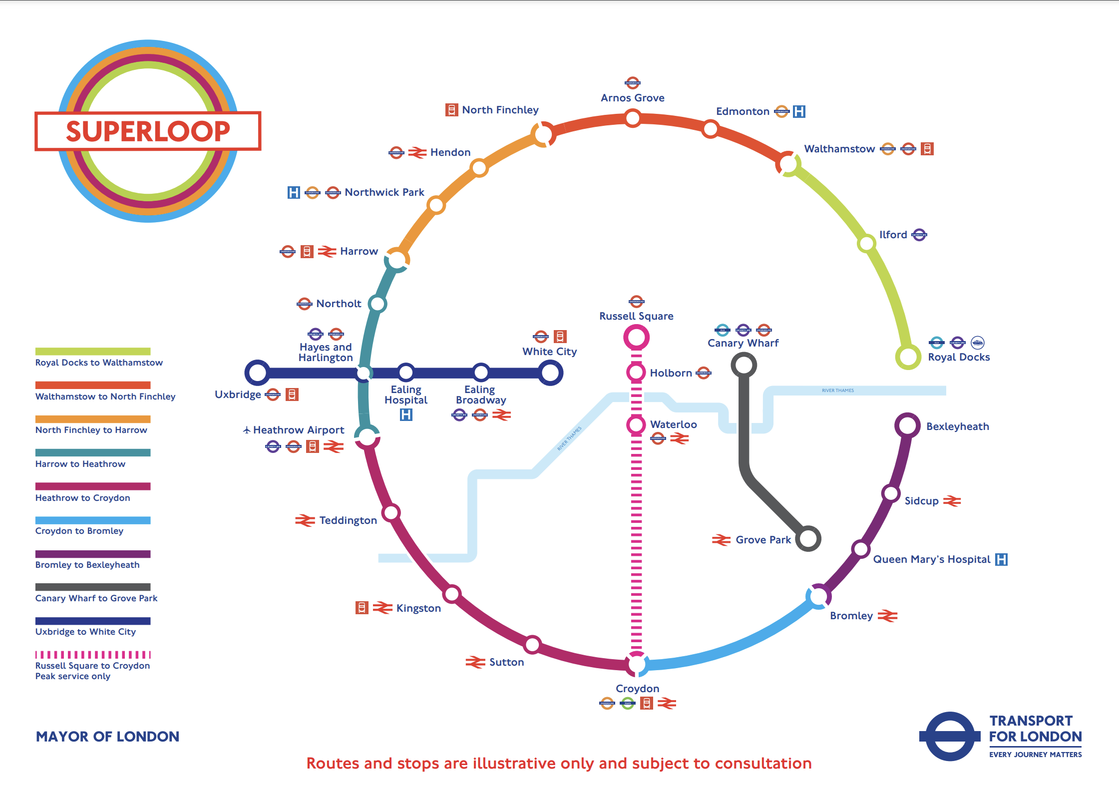
In this post I am considering the section of the the North Circular Road (A406) between the Hangar Lane Gyratory System, where it crosses the A40 in the West and the roundabout , where it crosses the A13 at Beckton in the East.
- This section is a grade-separated dual-carriageway all of the way between Hangar Lane and Beckton.
- Hendon, North Finchley, Arnos Grove, Edmonton, Walthamstow, Ilford and Royal Docks are not far from the A406.
- Several bus routes already run on the A406.
The large Brent Cross Shopping Centre is also just outside the A406 and a new Brent Cross West station will be opening soon.
I’ll now look at the three Northern and North-Eastern sections.
Harrow And North Finchley
This section is shown in orange.
- It calls at Northwick Park hospital and Hendon. both have rail connections.
- Brent Cross Shopping Centre could be on the route, if the A406 is used.
- London Bus 182 runs between Harrow bus station and Brent Cross Shopping Centre via Northwick Park hospital.
Could the 182 bus be extended to North Finchley, where there is a new bus station?
This Google Map shows the stations around the Brent Cross Shopping Centre.
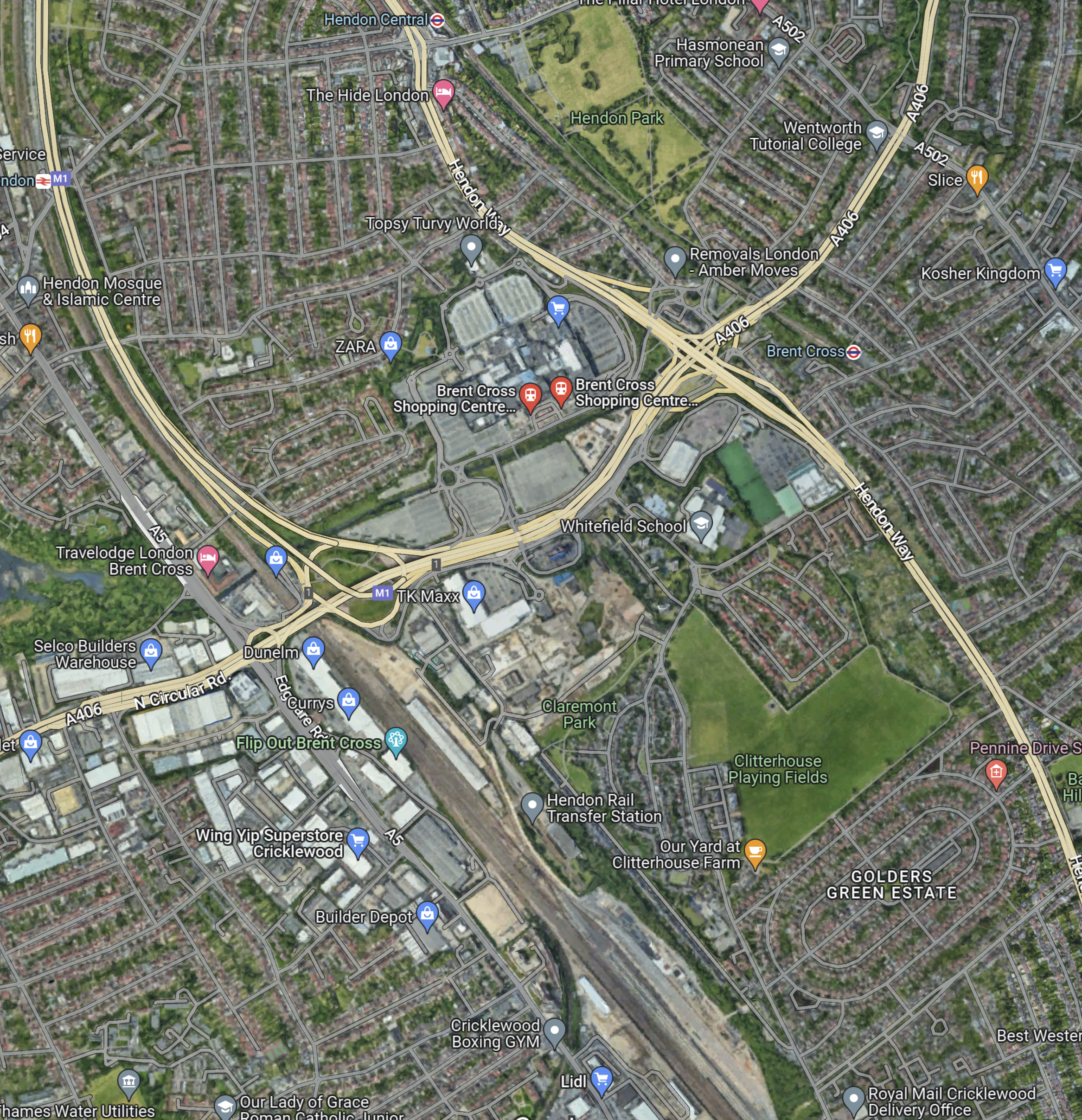
Note.
- The railway running between the North-West corner of the map and the bottom of the map is the Midland Main Line.
- The road running between the North-East corner of the map and the left of the map is the North Circular Road.
- The road running down the right hand side of the railway is the M1, which joins the A406 in the large junction.
- The other major road to the right of the map, is the Hendon Way.
- The station in the North-West corner of the map is Hendon.
- The station being built in the bottom of the map on the Midland Main Line, is the new Brent Cross West station.
- The station in the North-East corner of the map is Brent Cross on the Northern Line.
I am certain that a Superloop bus could run from Harrow bus station and Northwick Park hospital, and visit the required number of the stations around the Shopping Centre, before trundling on to the new North Finchley bus station for some refreshment before returning to Harrow.
I feel that the Superloop bus could use the North Circular Road from the shopping centre and then turn North on to Finchley High Road (A 1000).
North Finchley And Walthamstow
This section is shown in red.
- It calls at Arnos Grove and Edmonton.
- London Bus 34 runs between Walthamstow bus station and Barnet. It runs for some of the way along the North Circular Road and passes Arnos Grove, Silver Street and the North Middlesex Hospital.
I am certain, that a Superloop bus could run between Walthamstow bus station and North Finchley, using a similar route to the 34.
Walthamstow And Royal Docks
This section is shown in lime.
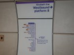
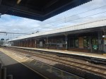
- It calls at Ilford for the Elizabeth Line.
I am certain, that a Superloop bus could run between Walthamstow bus station and Royal Docks, using a the A406 and the A13.
Conclusion
After this simple analysis, it looks possible to use the use the North Circular Road between Harrow and Royal Docks.
New Fast Bus Service To Link London’s Outer Boroughs
The title of this post is the same as that of this article on the BBC.
This is the sub-heading.
A new fast service bus network has been announced for London’s outer boroughs.
These three paragraphs outline the concept.
Six new routes will be created and four incorporated into the ‘Superloop’ network, complete with distinct branding.
The plans propose a fast service to make more stops linking many of the peripheral boroughs.
The network is part of London Mayor Sadiq Khan’s effort to compensate for the impact of the ultra-low emission zone expansion, due to start in August.
This draft map from TfL illustrates the concept.
In the draft map, the following can be discerned.
- Arnos Grove station is in the North.
- West Croydon station is in the South.
- Royal Docks and Bexleyheath are in the East.
- Uxbridge and Hayes & Harlington stations are in the West.
- Elizabeth Line stations on the route include Ilford, Custom House, Heathrow Airport and Hayes & Harlington.
The plan may work well, as in the 1950s and 1960s, I used the 107 bus route very regularly, as it cut a circular path between Queensbury in the West and Enfield in the East.
I have some thoughts.
Royal Docks And Bexleyheath
This Google Map shows the Royal Docks.

Note.
- The dotted red line indicates the Royal Docks.
- The runway of the London City Airport can be seen.
- Custom House station on the Elizabeth Line is served by the Elizabeth Line and the Docklands Light Railway.
This second Google Map shows the Western end of the Royal Victoria Dock.

Note.
- Custom House station is in the North-East corner of the map.
- The Excel is on the East end of the map.
- London City Hall is at the Western end of the Royal Victoria Dock.
- The cable-car to Greenwich connects to the area.
I would suspect that the bus from Walthamstow will terminate close to City Hall and the cable-car.
This Google Map shows the Royal Docks and Bexleyheath.
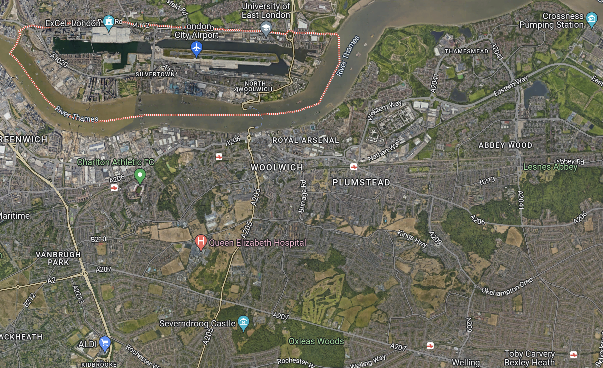
Note.
- The dotted red line indicates the Royal Docks.
- Bexleyheath station is in the South-East corner of the map.
I wouldn’t be surprised to see the Mayor organise a bus, through his new pet project; the Silvertown Tunnel.
Electric Or Hydrogen
Ideally, the buses will need to be zero-carbon; which means battery-electric or some form of hydrogen power.
Birmingham has a similar series of express routes, that run across the city, which I wrote about in Riding Birmingham’s New Hydrogen-Powered Buses.
I feel that long routes like some of these are should be run with hydrogen-powered buses, because of there longer range.
Taking A Train Between Abbey Wood And Ilford Stations On The Lizzie Line
The Elizabeth Line will open up a large number of new routes for Londoners, those who visit and those who live close to the tentacles of the new line.
One of these routes is between South East London and East London or South Essex.
You could take two trains in and out of central London, with the Underground in between, but the easiest way is to drive.
But then the Dartford Crossing hasn’t the needed capacity.
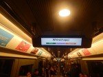
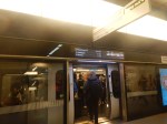
But the Elizabeth Line, which opened today, gives you an alternative with a simple cross-platform change at Whitechapel or Liverpool Street stations.
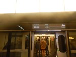
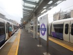
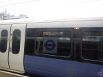
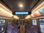
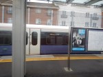
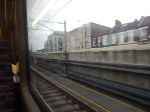
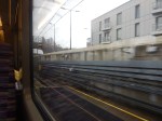
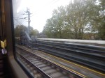
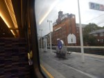
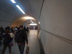
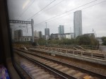
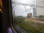
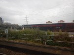
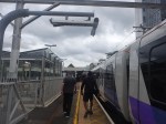
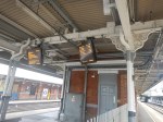
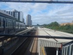
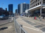
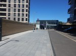
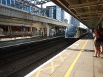
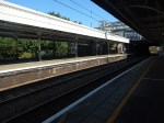
I took a trip today between Abbey Wood and Ilford stations, changing at Whitechapel to assess the feasibility of a route like this as a daily commute, taking these pictures along the route,


Note.
Between Abbey Wood And Ilford stations took 39 minutes.
Google says a car will take 45 minutes.
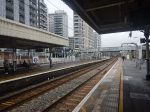
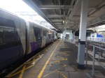
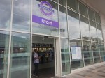
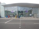
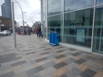
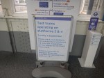
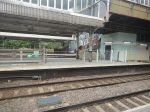
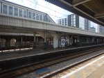
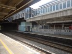
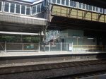
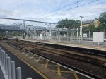
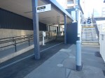
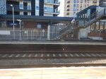
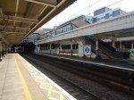
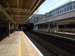
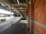
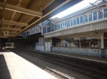
Ilford Station – 4th September 2022
Ilford station is now substantially complete.


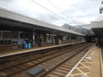

Note.
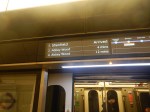
- Because of testing, the Elizabeth Line was running through Platforms 1 and 2 at Ilford station.
- Platforms 3 and 4 are running a test service between Shenfield and Paddington.
- Train displays on Platform 3 are showing trains going to Paddington.
It would appear, that there’s still a bit of work to finish.
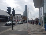
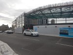
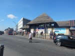
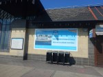
Ilford Station – 2nd July 2022
It’s been nearly a year since I last visited Ilford station and wrote Ilford Station – 9th June 2021.

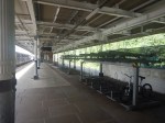


It doesn’t appear that there has been much progress in the last year!
Ilford Station – 9th June 2021
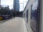
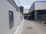
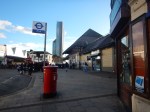
The third entrance on the South side of Ilford station is now open.
These pictures were taken during a walk from the North entrance to the new one in the South.

Note that nine-car trains are now running on Crossrail.
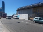
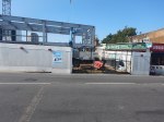
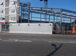
Ilford Station – 18th November 2020
I took these pictures at Ilford station this morning.
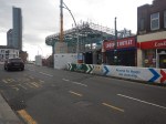


Note.
- The steelwork for the station building has now been erected.
- The new side entrance to the station is operational, but not fully complete.
- There were also guys working on stylish new shelters and possible retail units in the station.
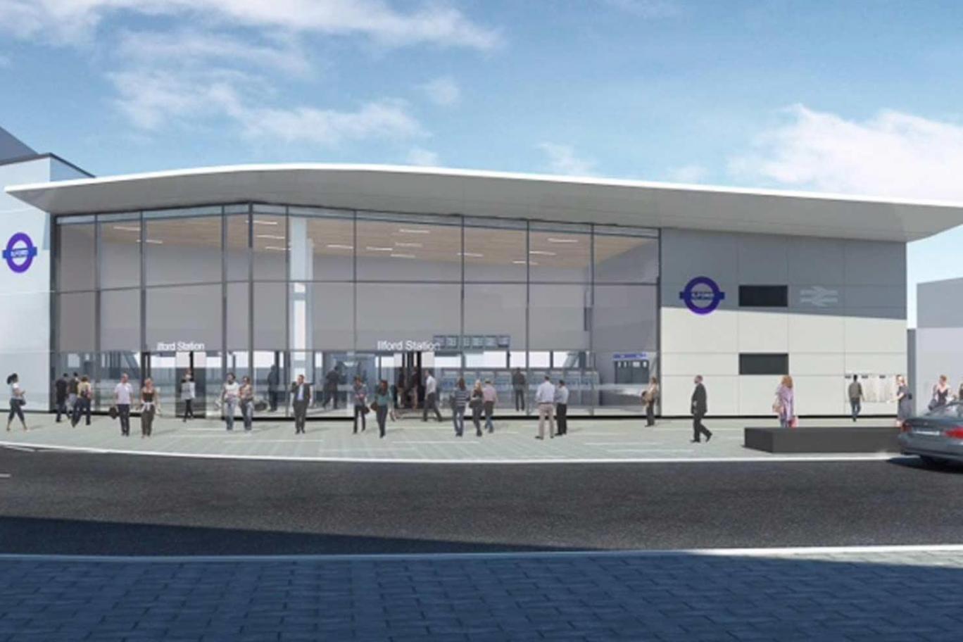
Ilford station is being seriously transformed, as this visualisation of the new station building shows.
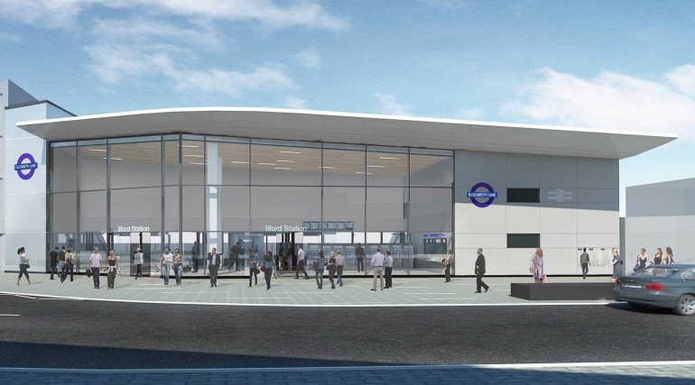
The people in the visualisation are rather badly-drawn
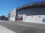
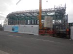
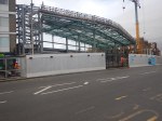
Ilford Station – 14th September 2020
I took these pictures today at Ilford station.


Note.
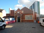
- The old station building seems to have been demolished and the main structural steel seems to have been erected.
- The Second Entrance was completed a long time ago.
- The Third Entrance is not far off completion.
- The coffee shop was well worth a visit.
The construction of the new station does seem to be getting there.
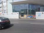
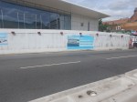
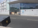
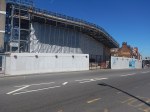
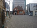
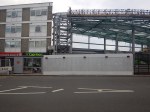
Ilford Station – 2nd July 2019
Work is underway at Ilford station to rebuild the main station entrance and create a modern glass-fronted station.
This page on the Crossrail web site, which is entitled Ilford Station, lists these features.
- A new spacious, modern and bright station building on Cranbrook Road
- A new waiting room and benches on platforms
- Improved customer information, lighting and wayfinding signage
- Newly painted walls and tiled floor and ceiling
- Two new ticket machines, four new ticket gates and a wide aisle gate
- A new waiting room and benches on platforms.
This image is also shown.
I took these pictures of the station today.


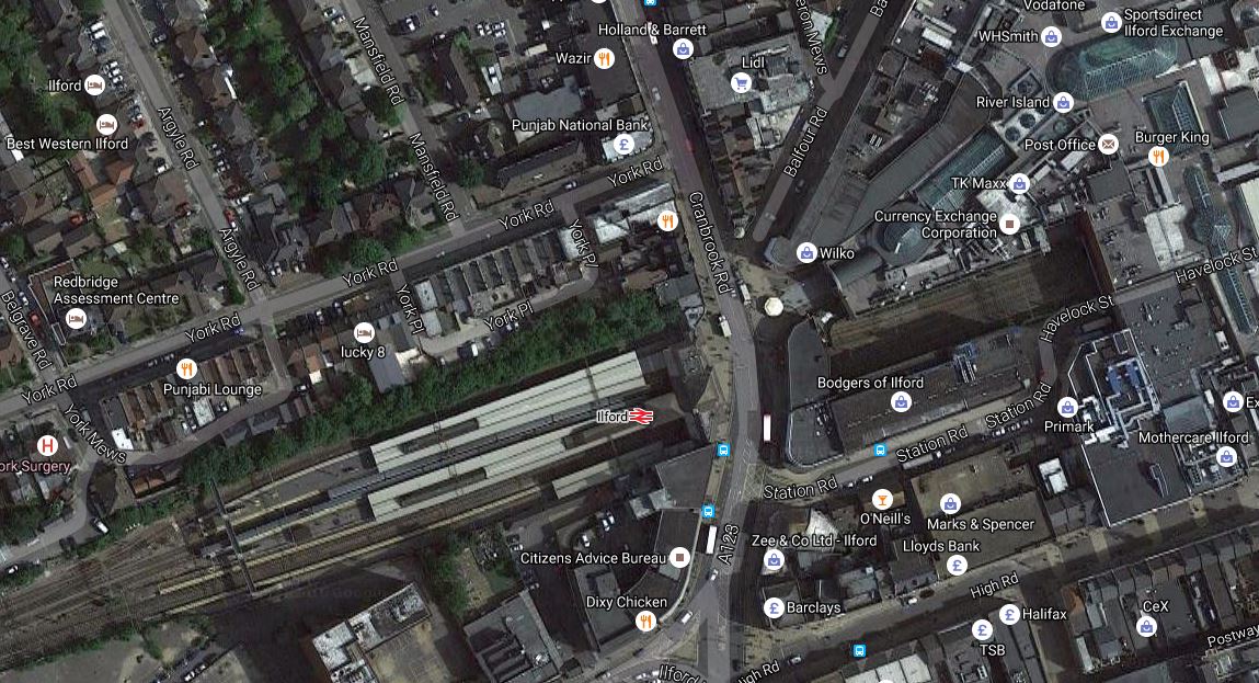
This Google Map shows the station.
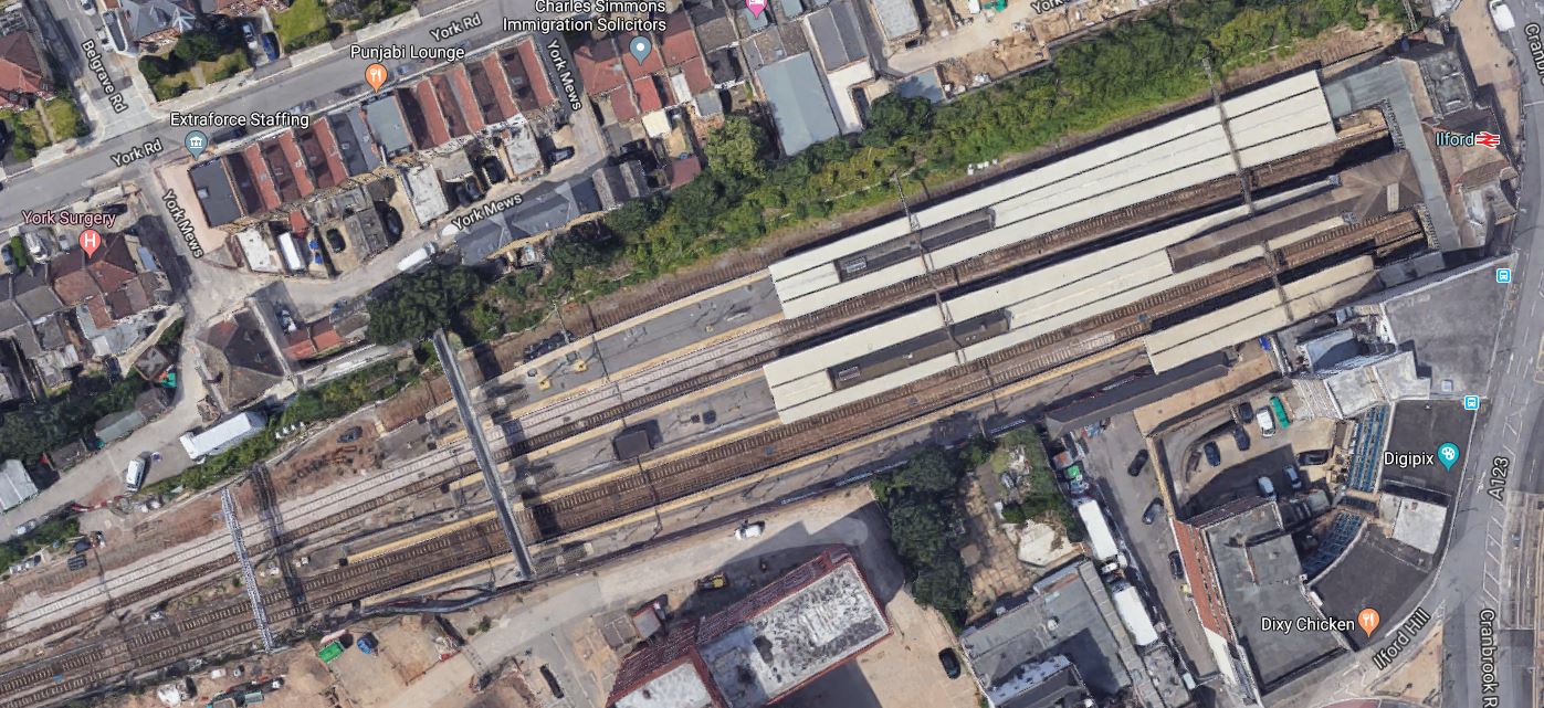
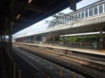
Note the disused Platform 5 in the pictures and at the Northern side of the station in the map, for which I can’t find any future plans.
- Perhaps it could be made into an operationally-useful bay platform? After all, it appears to be full length.
- Could it be filled in to create a wide platform with a waiting room and a coffee kiosk?
- Could it be used for bicycle parking?
I would wait until Crossrail is fully-open and see what is most needed.
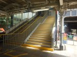
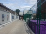
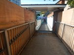
Note too, the last picture with the footbridge over the station to the York Road entrance on the right. This picture shows the York Road entrance.

It was a shrewd move to build this second entrance, as it can function as the station entrance, whilst the main entrance on Cranbrook Road is rebuilt.
There would also appear to be plans to put a third entrance on the Southern side of the footbridge, which connects to Ilford Hill.
In my view, a station can never have too many entrances.
Conclusion
Will a new station attract more passengers to use Crossrail?
A Short Walk Around Ilford Station
Several reports like this one in New Civil Engineer, have talked about a rebuild of Ilford station for Crossrail. This picture shows how it could look.
As the station now has a new entrance on York Road, I went for a walk around the station.


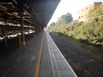

I walked up the stairs at the London end of the station, through the new entrance and then circled to the front entrance, where I reentered the station.
This Google Map shows the station.
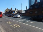
Ilford Station And The Town Centre
If the standard of the York Road entrance to the station is anything to go by, I think that Ilford will have a last laugh in all those Essex jokes.
I wonder how much the footfall in the Exchange Shopping Centre will increase when Crossrail opens.
