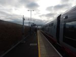
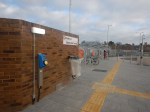
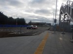
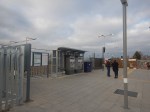
Following The Barking Riverside Extension – 20th January 2022
I took this route at Barking Riverside.
- Took a train from from Barking station to Dagenham Dock station.
- Took an EL3 bus to Stern Close.
- Walked to Barking Riverside station.
- Took an EL1 bus to Ilford station.
These are the pictures I took.

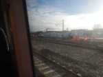
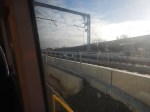

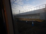
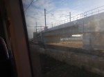


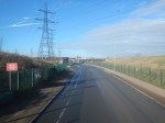
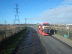


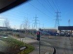


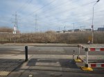
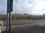
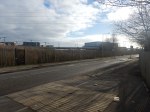
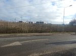
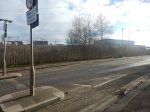


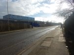


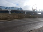
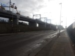
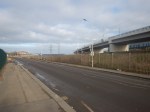
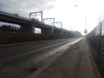
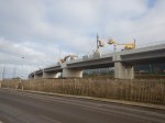
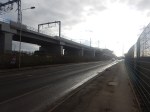

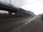


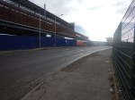
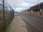
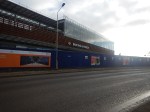

It seems to be substantially finished and an Autumn 2022 opening should be possible.
Liverpool Shows The World How To Plan A New Station
Liverpool and Liverpudlians tend to do things differently.
This article on Liverpool Business News is entitled First Look At New Baltic Triangle Station.
This is the first paragraph.
St James station closed in 1917 but images and a video fly-through of a proposed new Merseyrail station to serve the fast-growing Baltic Triangle in Liverpool have been released – and you can help choose a name.
These are my thoughts about the new Liverpool St. James station.
The Video Fly-Through
Merseyrail produced a high-class video fly-through for Headbolt Lane station and it is my belief that these types of presentation are the best way to show everybody what the Transport Authority, Local and National Government are planning to deliver.
Note.
- The station is very cycling-friendly.
- The proposal includes a cafe and toilets.
- There are escalators from the surface to the platforms.
My only fault with the video, is that it uses the old Class 508 trains, rather than the new Class 777 trains. But that is being picky!
The Station Name
Liverpool already has a station called Liverpool James Street station.
The UK also has seven railway stations with James in the name and the whole world has a total of twelve, which are listed in Wikipedia.
So to avoid any possible confusion, the three chosen names seem to be a good idea.
- Liverpool Baltic
- Liverpool Parliament Street
- Liverpool Riverside
Cast your vote before February 18th by clicking here.
I can’t remember a station name being chosen by an Internet vote.
At least a write-in name is not allowed, which should avoid a silly name like Station McStationFace.
Conclusion
Liverpool are to be congratulated on their planning exercise for the new station.
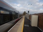
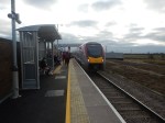
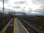
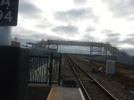
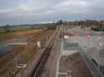
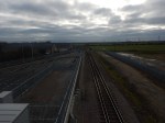
Soham Station – 14th December 2021
I visited the new Soham station today.
I took four trains in total.
- The 11:12 from King’s Cross, which arrived at Ely at 12:23
- The 12:31 from Ely, which arrived at Soham at 12:39
- The 12:51 from Soham, which arrived at Ely at 12:59
- The 13:18 from Ely, which arrived at King’s Cross at 14:33
The outward journey took 87 minutes, with the return taking 102 minutes.
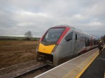
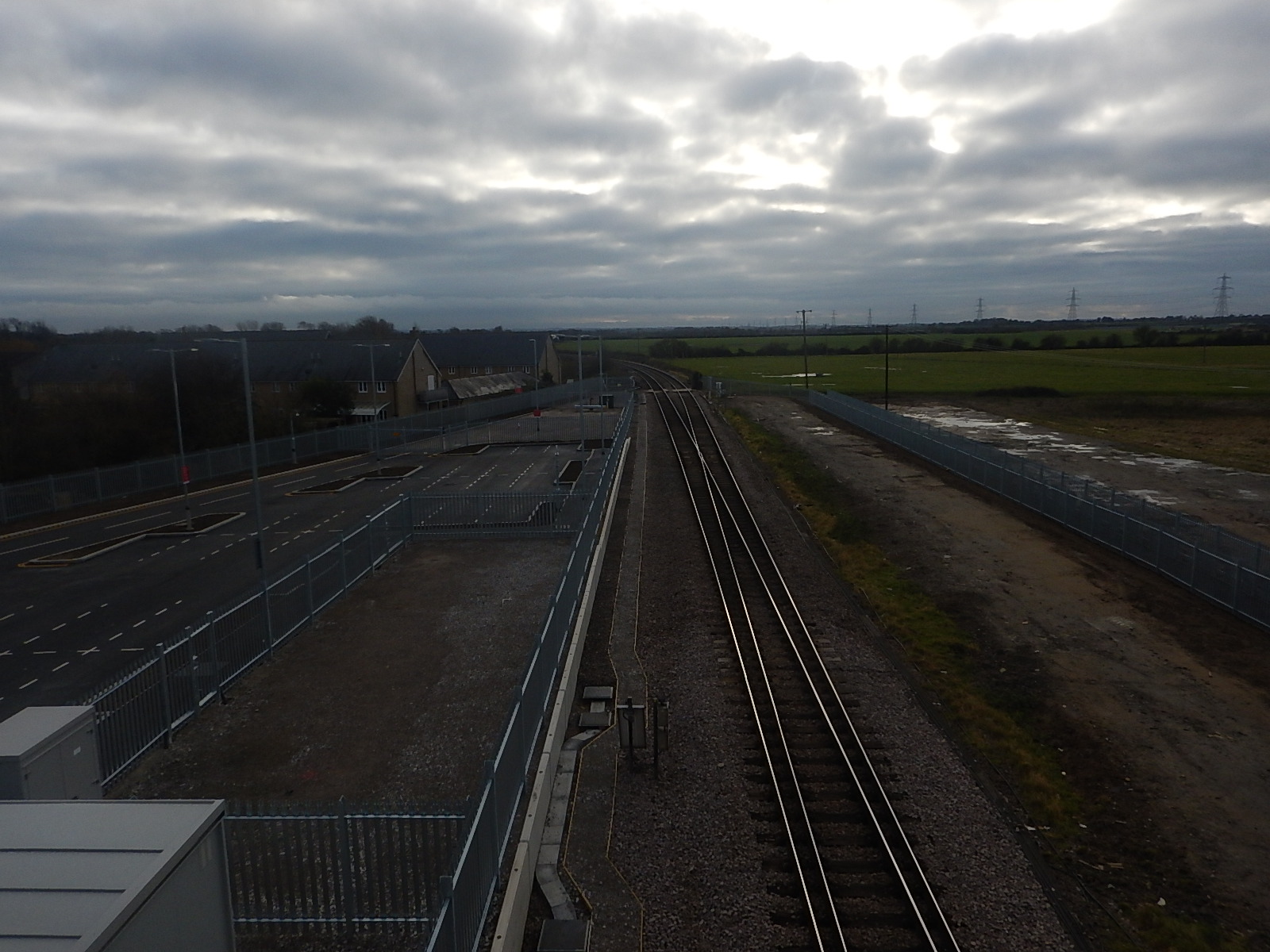
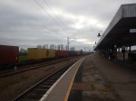
I took these pictures at Soham station.
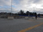


Note.
- The train is a three-car Class 755 train.
- There is only a single platform.
- There are dropped kerbs everywhere on the walking routes.
- There is plenty of car parking.
- There are disabled car parking spaces.
- There is a circular turning area in front of the station, which forms a high-capacity Kiss-and-Ride, with space for a couple of buses.
- The track towards Ely is single-track
- The track towards Bury St. Edmunds and Ipswich is double-track.
- The bridge is ready for a second platform, should it be needed and/or installed.
- The station is unmanned.
These are some further thoughts.
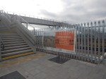
Is Soham The Ultimate Step-Free Station?
Consider
- Greater Anglia’s Class 755 trains are level with the platform, as they have gap fillers.
- Walking from the car parking to the train is step-free.
- There are lots of dropped kerbs and tactile pavements.
I suspect it is one of the few stations in the UK, where if you arrive on foot or by car or bus, that there is no step to the train.
This document on Network Rail says this about the footbridge.
A stepped footbridge across the railway to connect to an existing public right of way, designed for future installation of lifts if a second platform is constructed.
It looks like Network Rail have all eventualities covered.
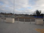
The Station Has Adequate Parking
This picture from the gallery shows the parking to the South of the station.
The Network Rail document says that the car park can accommodate 50 vehicles and has four spaces for blue badge holders.
But looking at this picture, there could be space for more parking.
The Station Is Well-Connected To The Road System
This Google Map shows the town of Soham.
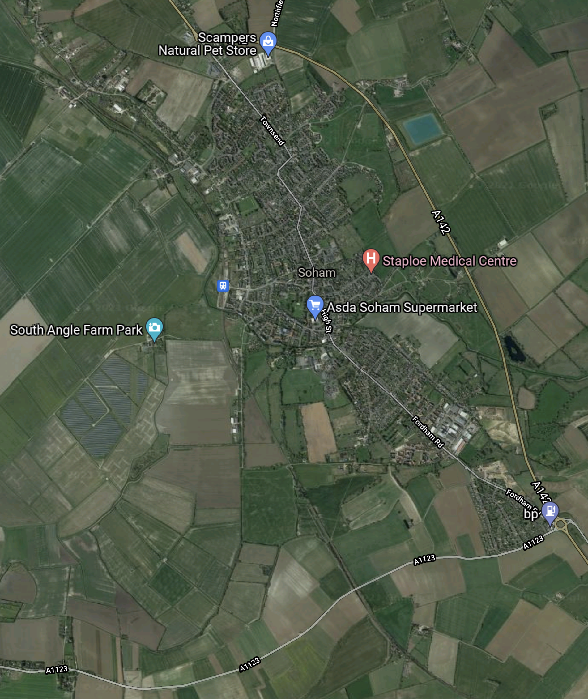
Note.
- Soham has a by-pass around the Eastern side of the town.
- The railway passes to the West side of the town.
- The station is marked by the small blue dot to the left of the word Soham in the middle.
- The old road goes through the centre of the town.
- Soham is a town of nearly eleven thousand people.
- I suspect the town is fairly flat and many will walk or cycle to the station.
Hopefully, the station will attract a lot of passengers.
Does The Station Need A Second Platform?
Network Rail have shown with the Borders Railway and the Avocet Line, that two trains per hour (tph) can be run reliably on a line with sections of single-track and some stations with only one platform.
One of the problems with a second platform at Soham, would be that lifts would be needed for many to cross the track.
It is not the cost that is the problem, but lifts do not have a hundred percent reliability.
Would installing lifts mean providing staff at the station?
I think, that unless the station attracts a lot of passengers, the second platform will never be built.
Would A Second Track Be Provided At Soham Station?
This is a different question, with possibly a different answer.
A large number of freight trains pass through Soham station each day and to increase their number Network Rail have proposed double-tracking the route between Soham and Ely.
As Soham and Ely are just over five miles apart, I wonder if Network Rail are thinking of putting a freight loop through Soham station, that continues to Ely.
These pictures show a long freight train waiting in the freight loop at Ely station before proceeding to Peterborough and the West.
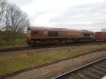
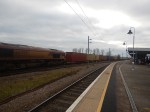

I think that this loop is bi-directional.
Could the new freight loop be built, so that the following happens?
- The freight loop starts to the South of Soham station.
- The freight loop connects to the freight loop at Ely station.
- All passenger trains use the current single-track.
- All freight trains use the freight loop.
- Both tracks would be bi-directional.
- Freight trains don’t pass through the current platform at Soham station.
It stood be noted that passenger and freight trains take less than ten minutes between Ely and Soham stations.
As both freight and passenger trains would have their own tracks, I suspect that a total of at least four passenger tph and four freight tph would be able to pass between Soham and Ely.
The A14 Parkway Station
I wrote this section originally in Soham Station Aims For December 2021 Opening, but it still applies.
The A14 Parkway station is a proposal from the East West Railway.
- It would be just to the East of Chippenham junction and would be served by both Greater Anglia’s services between Ipswich and Cambridge and Ipswich and Peterborough.
- It would also be close to the major road junction, where the A11 and the A14 meet.
- It would be a Park-and-Ride station.
I believe it could be a major factor in cutting road mileage in East Anglia, as drivers going to Cambridge from Ipswich, Norwich, a large area of North-East East Anglia and North Essex could find that using the A14 Parkway station an easier and faster route. But the A14 Parkway would need a frequent service to the soon-to-be-three main Cambridge stations.
A Soham and Cambridge service could reverse at the A14 Parkway station or by careful timetabling, passengers would be able to change trains in a minute or two.
A Cambridge And Soham Service
I do wonder, if Cambridge could benefit from a triangular metro.
The three points of the triangle would be A14 Parkway, Cambridge South and Ely stations.
The three legs would have the following stations.
- A14 Parkway and Cambridge South – Newmarket, Dullingham, Six Mile Bottom *, Fulbourne *, Cherry Hinton * and Cambridge
- Cambridge South and Ely – Cambridge, Cambridge North and Waterbeach
- Ely and A14 Parkway – Soham and Fordham *
Note.
- Stations marked with an asterisk (*) are possible new stations.
- The basic frequency would be one tph.
- Trains would reverse at A14 Parkway, Cambridge South and Ely stations.
The triangular nature of the service may mean that to avoid the driver constantly changing ends, that automation and video technology may allow driving from either end of the train.
These existing services would fit in with the triangular service.
- Norwich and Stansted Airport via Cambridge South, Cambridge, Cambridge North, Waterbeach and Ely.
- Ipswich and Peterborough via A14 Parkway, Soham and Ely
- Ipswich and Cambridge via A14 Parkway, Newmarket and Dullingham
- Wisbech and Cambridge via Cambridge North, Waterbeach and Ely.
- King’s Cross and King’s Lynn via Cambridge South, Cambridge, Cambridge North, Waterbeach and Ely.
- Birmingham and Stansted Airport via Cambridge South, Cambridge, Cambridge North, Waterbeach and Ely.
Note.
- All services would probably be one tph.
- Some services currently terminating at Cambridge, may be extended to Cambridge South.
- There will be other services from East West Railway.
The frequencies on the various legs would be as follows.
- A14 Parkway and Cambridge South – 2 tph plus one tph from East West Railway
- Cambridge South and Ely – 5 tph plus one tph from East West Railway
- Ely and A14 Parkway – 2 tph
The route between A14 Parkway and Cambridge would need to be improved, but this is planned by East West Railway.
Would It Be Possible To Commute From Soham To London?
My timings of around ninety minutes are probably well within the endurance of the average commuter.
Conclusion
Soham station is not your run-of-the-mill rural station.
Then And Now: Winslow’s Transformation Over The Years As New Train Station Construction Continues
The title of this post, is the same as that of this article on Buckinghamshire Live.
Very little has been heard about progress at Winslow station on East West Rail and the article fills in a lot of gaps.
- Interesting to see, that the board at the station still shows the link to Aylesbury.
- The article says that the station should be finished by 2023.
- Work has definitely started on the station.
It does seem that this important rail link is well and truly underway.
Northumberland Line: Railway ‘Could Create Economic Powerhouse’
The title of this post, is the same as that of this article on the BBC.
This is the first paragraph.
An “east coast economic powerhouse” stretching from Edinburgh to Leeds could be created if the Northumberland Line rail scheme goes ahead, a public inquiry has been told.
The article also explains why a public inquiry is needed.
The article also says that about thirty objections have been raised.
Public Inquiry Into Northumberland Line Due To Open This Week
The title of this post, is the same as that of this article on the News Post Leader.
It is also a good summary of where the various councils are with the reopening of the Northumberland Line.
The article says that work should start next summer and trains will run in 2024.
Reopening The Askern Branch
On October 27th this Beeching Reversal Project was given £50,000 to build a case for reopening.
These are my thoughts.
The Askern Branch Line
This description of the Askern Branch Line is from Wikipedia.
The Askern branch line is a railway line which runs in North, South and West Yorkshire in England. The stretch of track runs from Shaftholme Junction north of Doncaster (on the East Coast Main Line between Doncaster and York), via Askern, Norton and Womersley to Knottingley, where it joins the Pontefract Line.
This map was also clipped from Wikipedia.
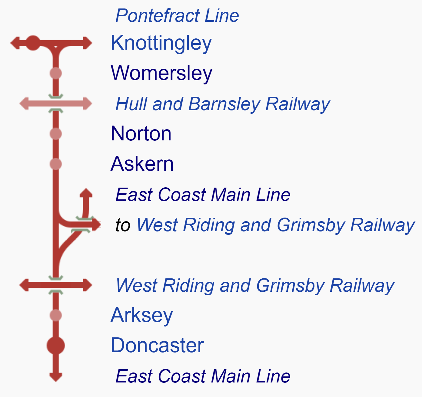
Note.
- Shaftholme junction is where the Askern Branch splits from the East Coast Main Line.
- There are three closed stations on the Askern Branch; Askern, Norton and Womersley.
- Between Shaftholme junction and Knottingley West junction, on the Pontefract Line is 10.7 miles.
- The operating speed of the line is between twenty and fifty mph.
Unbelievably, in those 10.7 miles there are nineteen level crossings.
Current Passenger Services
The only passenger services on the line are Grand Central‘s services between London King’s Cross and Bradford Interchange.
- Grand Central are an open-access operator.
- Grand Central ran the first service in 2007.
- There are four trains per day (tpd) in both directions.
- They call at Doncaster, Pontefract Monkhill, Wakefield Kirkgate, Mirfield, Brighouse, Halifax and Low Moor.
Perhaps, if they stopped at a station on the Askern Branch Line, it would give their finances a lift.
Freight Services
There are up to four freight services per hour on the line.
Askern Station
Askern station used to serve the village of Askern.
- Askern has a population of about 6,000.
- Askern used to be a spa town.
- But then coal was discovered and it became a mining village.
- Do spas and coal mining make a good mix? I doubt it.
- Eventually the station closed in September 1948.
- There is a level crossing at the station.
The village is now developing and there is pressure for the reopening of the station.
Railfuture has backed the reopening.
Norton Station
Norton station used to serve the village of Norton.
- Norton has a population of about 5,000.
- The station closed in September 1948.
- There is a level crossing at the station.
There appears to be no pressure to reopen the station, although the site is protected.
Womersley Station
Womersley station used to serve the village of Womersley.
- Womersley has a population of a few hundred.
- The station closed in September 1948.
- There is a level crossing at the station.
There appears to be no pressure to reopen the station.
Would This Project Be Better Described As Reopening Askern Station?
I can’t find any reference to reopening Norton and Womersley stations, so perhaps Reopening Askern Station would be closer to the reality.
A New Askern Station
This Google Map shows the site of the former station.
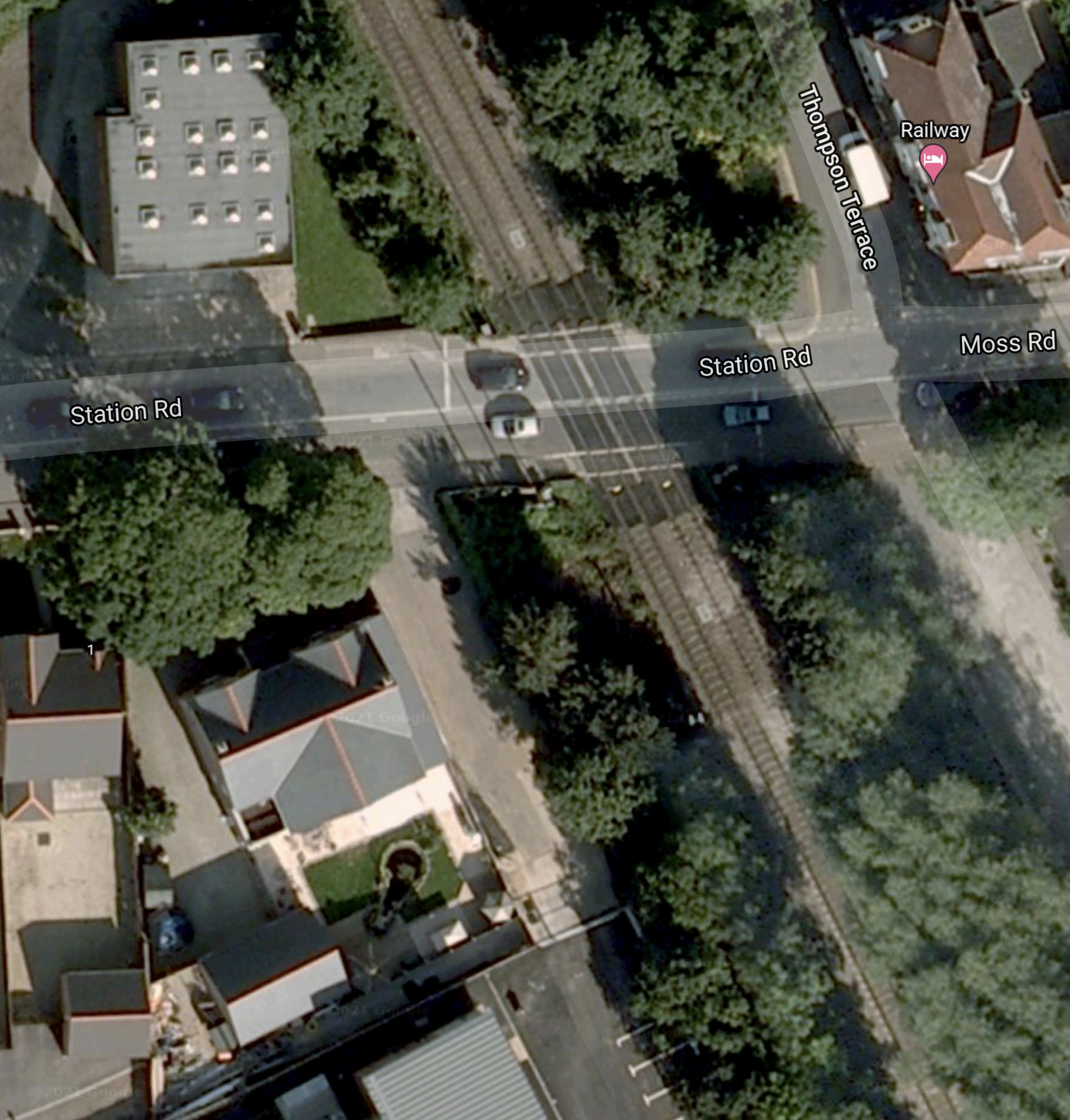
This could be a challenging station to design depending on the brief.
Services At A New Askern Station
I suspect that some or perhaps all of Grand Central’s Kings Cross and Bradford Interchange services will call.
But these don’t go to Leeds and I suspect that a service is needed to and from Leeds.
Will The Askern Line Be Electrified?
Who knows?
Reopening Corsham Station
On October 27th this Beeching Reversal Project was given £50,000 to build a case for reopening.
Corsham is a town in Wiltshire.
- It has a population of 13,000
- It is very much a military town, with numerous defence establishments, some of which are deep underground in former bath stone quarries.
- Corsham station closed in 1965.
As this Google Map shows the Great Western Railway passing through the town.
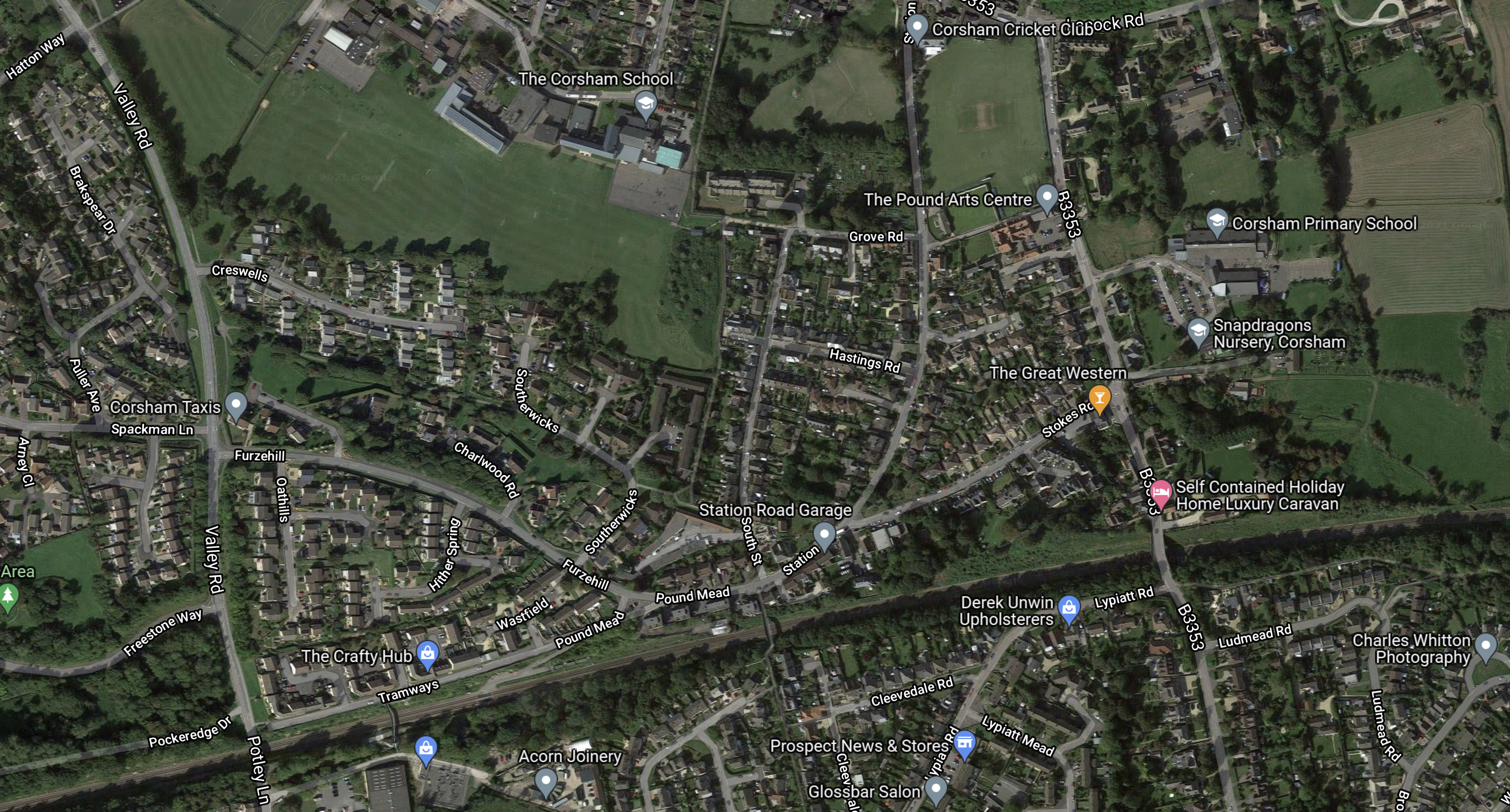
The dark scar of the railway across the map towards the bottom is clearly visible.
This second Google Map shows the site of the former station.
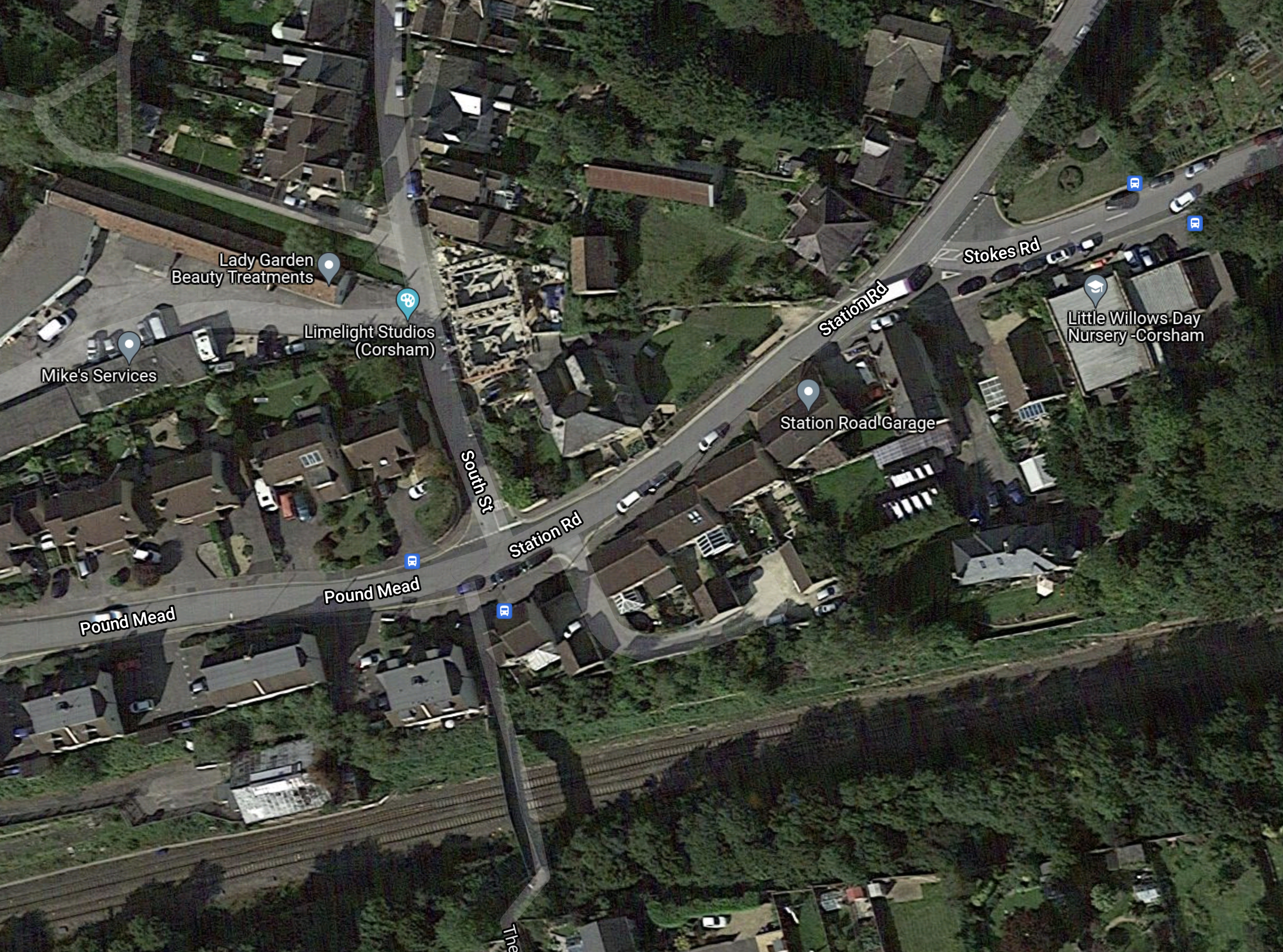
Note.
- Station Road is a bit of a giveaway.
- There is a footbridge over the double-track railway. Note the shadow.
- The railway is not electrified, but could be in the future.
- Chippenham station is to the East and Bath Spa station is to the West.
- The station was in a deep cutting on the approach to Box Tunnel, which is to the West.
I doubt that designing and building a new Corsham station will be a challenging project.
These are my thoughts on other issues.
Military Issues
The Wikipedia entry for Corsham has a section called Defence, which lists well over half-a-dozen defence sites.
Could these be a reason for the new station?
- Just like many other businesses and families, does the Ministry of Defence feel it should decarbonise?
- Are large numbers of employees and visitors driving in from Swindon and Bristol?
How many new stations would cut the country’s carbon footprint?
Services
Currently, it appears the only services going through Corsham are the Paddington and Bristol Temple Meads service
- There are two trains per hour (tph)
- The trains call at Reading, Didcot Parkway, Swindon, Chippenham and Bath Spa.
- Between Chippenham and Paddington is fully-electrified
- Trains run between Bristol Temple Meads and Chippenham, which is a distance of 24.4 miles on diesel.
These trains could stop, but would that slow the services?
Perhaps alternate services would stop at only one of Corsham and Chippenham. But that would mean the train couldn’t be used between those two stations.
An alternative philosophy would be to electrify between Chippenham and Bath Spa, so that the stops would be faster , as acceleration would be under electric power.
- Box Tunnel has been prepared for electrification.
- This would be thirteen miles of new electrification.
- Trains would run between Bristol Temple Meads and Bath Spa, which is a distance of 11.5 miles on diesel.
But the good citizens of Bath, might object to electrification through Sydney Gardens and the City Centre.
If they do object, an alternative would be to electrify between Bathampton junction and Chippenham.
- As before Box Tunnel would be electrified.
- This would be eleven miles of new electrification.
- Trains would run between Bristol Temple Meads and Bathampton junction, which is a distance of 13.7 miles on diesel.
Bath would not be despoiled by electrification.
Battery-Electric Trains
I touched on electrification in the previous section and I believe it would be reasonably easy to electrify between Chippenham station and Bathampton junction.
This would mean that there would be just 13.7 miles for the train to power itself between Bristol Temple Meads and Bathampton junction.
As it is 27.4 miles in total with perhaps a twenty minute wait in Bristol Temple Meads station, I believe this would be within the battery range of a Hitachi Intercity Tri-Mode Battery Train, which is described in this Hitachi infographic.

Note.
- Hitachi haven’t disclosed the range of the train on battery power alone.
- Twenty minutes in Temple Meads station is enough to fully charge the battery.
If the train could be recharged at Temple Meads station, the battery range needed would be just fifteen miles.
Conclusion
All stakeholders would appear to benefit from this new station.
Bradford Seeks Support On Rail Project Which Could Deliver £30bn Benefits
The title of this post is the same as that of this article on Rail Technology Magazine.
This is the first paragraph.
Delivery of a new city centre railway station in Bradford is estimated to boost the city’s economy by £30bn over ten years, with Bradford Council now seeking government support to deliver the major rail project.
The article also says that the the station, will be built on the site of St James Market, which is owned by the Council.
This Google Map shows the market and the surrounding roads and railways.
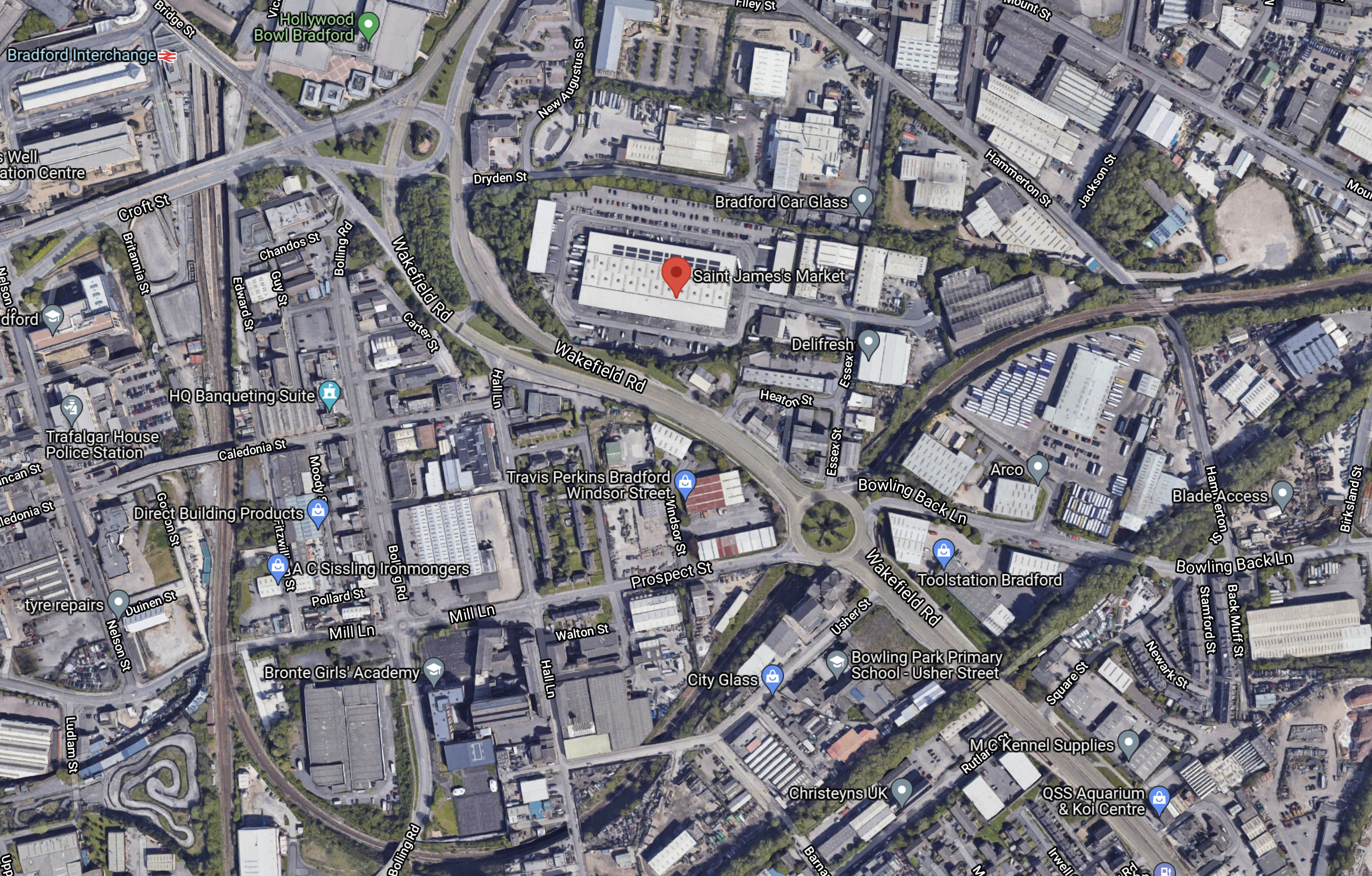
Note.
- Bradford Interchange station is in the North-West corner of the map.
- St. James Market is marked by the red arrow in the middle of the map.
- The railway Between Leeds and Bradford Interchange stations via New Pudsey station curves in a loop South of the market.
- The railway going South from Bradford Interchange goes to Bradford Low Moor and Halifax stations, before taking the Calder Valley Line via Hebden Bridge to Manchester Victoria station.
I think it would be feasible to build the station on the current route between Leeds and Bradford Interchange stations, with perhaps a mixture of through and bay platforms.
This second Google Map, shows Mill Lane Junction, where the lines from New Pudsey and Bradford Low Moor stations join South of Bradford Interchange station.
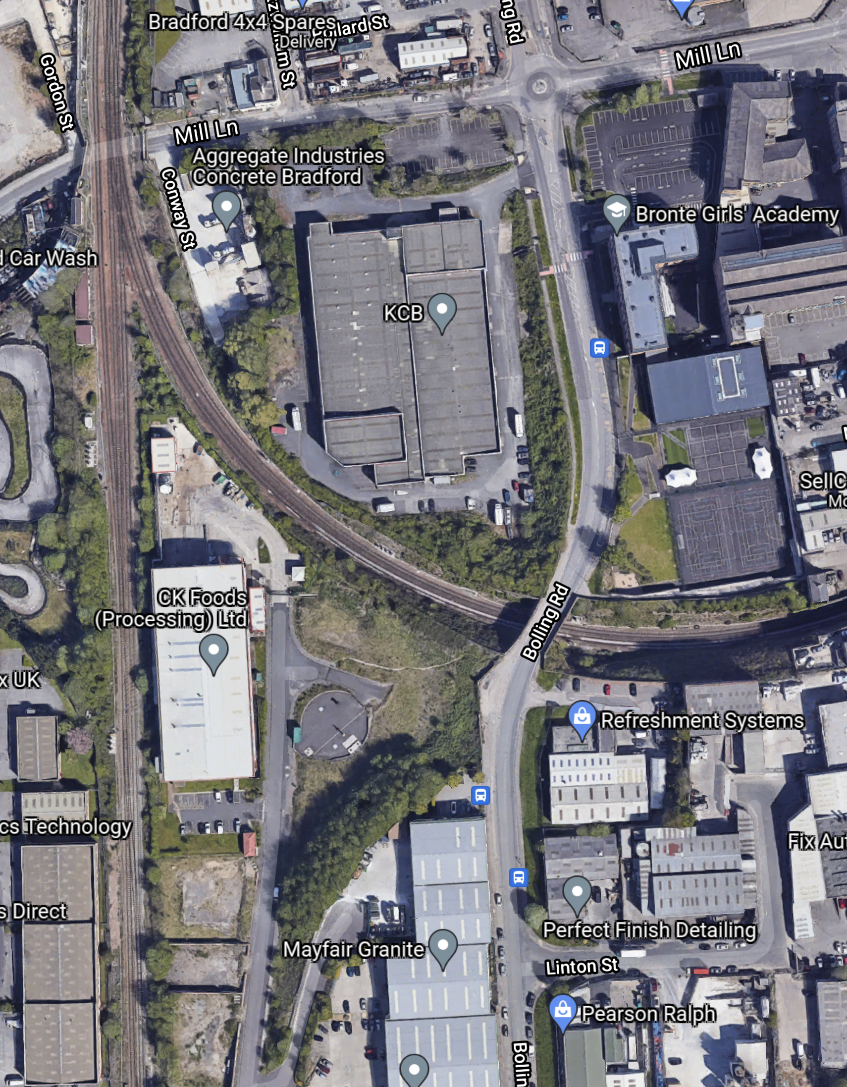
Note.
- Bradford Interchange station is on the rail line to the North.
- The proposed new Bradford station and the existing New Pudsey station are on the rail line to the East.
- Bradford Low Moor station is on the rail line to the South.
It would appear that an extra chord should be added to the junction to allow trains between Manchester Victoria and Leeds via the Calder Valley Line can call at the new station in Bradford.
Current trains between Manchester Victoria and Leeds using this route have to reverse at Bradford Interchange. The new station and the extra chord would avoid this.
Conclusion
I think that this proposal has possibilities.
Skelmersdale Railway Station Could Finally Happen – If Government Says Yes
The title of this post, is the same as that of this article on Lancs Live.
The article is a good summary of why Skelmersdale needs a station.
But it doesn’t mention that any service to Skelmersdale will probably go via Merseyrail’s new station at Headbolt Lane.
