Should There Be Limits To The Type Of Vehicles Allowed In The Blackwall And Silvertown Tunnels?
When the Silvertown Tunnel opens in 2025, the tunnel and the nearby Blackwall Tunnel will be tolled.
But will there be any restrictions on the vehicles that can use the tunnels, other than those that apply to the Blackwall Tunnel at the present time, which are detailed in Wikipedia.
The tunnels are no longer open to pedestrians, cyclists or other non-motorised traffic, and the northbound tunnel has a 4.0-metre (13.1 ft) height limit.
Note.
- I suspect that pedestrians, cyclists or other non-motorised traffic will also be banned from the Silverton Tunnel.
- But the height limit will be relaxed for the Silverton Tunnel to allow large trucks and double-deck buses to use the tunnel.
According to this web page, which is entitled the Silvertown Tunnel Bus Network Proposals, the planned buses through the tunnel include.
- 108 – As now, with a minor route change.
- 129 – As now, but extended from North Greenwich station to Great Eastern Quay.
- X329 – An express bus from Grove Park station to Canary Wharf, which runs non-stop through the Silvertown Tunnel.
Note.
- The 108 goes through Blackwall and is a single decker bus.
- The 129 and the X329 will go through Silvertown and could be double decker buses.
- There appears to be no mention of any provision for cycles.
- I would assume wheelchairs, buggies and cases will be accommodated as they are on current London buses.
I also think, that the buses must be zero-carbon, which would mean battery-electric or hydrogen.
In Hydrogen-Powered Vehicles And Trains In Tunnels, I looked at the feasibility of running hydrogen buses through the tunnel and came to this conclusion.
I am confident, that we will achieve a safety regime, that allows hydrogen-powered vehicles and trains to be certified to pass through tunnels.
The great advantage of hydrogen buses on the three routes would be that they would probably only need to be filled up once a day, but electric buses might need constant charging.
Provision For Cycles
I think it is essential to have provision for cycles across the river.
- Folded cycles can be taken almost anywhere on London’s transport system.
- Non-folding cycles can be taken most places on London’s transport system, but the hours are restricted.
- There’s always the Woolwich Ferry.
- Given that the 108 bus seems to weave its way through the East End, I suspect that this bus couldn’t be longer to carry cycles.
I have seen double-deck buses, with provision for cycles at the back of the lower deck in Europe.
- Perhaps buses like these, could be used on the 129 and X329 routes.
- A search of the Internet found some buses in East Yorkshire with provision for two standard cycles.
- The 129 bus could ferry bikes between North Greenwich station and a convenient stop on the North side of the river.
- The X329 bus could ferry bikes over the non-stop section of the route between the Sun in the Sands and Leamouth roundabouts.
There could be shorter routes adding extra capacity between the stops, where bikes are loaded and unloaded.
Large Trucks Through The Tunnel
If buses become zero-carbon through the Blackwall and Silverton Tunnels, then why shouldn’t large trucks be zero-carbon?
I think this could be the carrot combined with free passage for zero-carbon vehicles that could clean up Central London’s polluted air.
Smaller Vehicles
Why not gradually reduce the size of vehicles going through the tunnels that must be zero-carbon?
Conclusion
The Silvertown and Blackwall Tunnels can be used as the drivers to clean up Central London’s air.
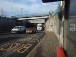
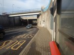
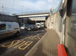
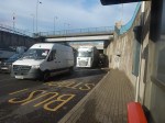
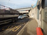
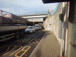
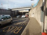
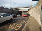
Is This The Worst Bus Stop In London?
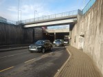
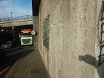
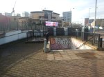
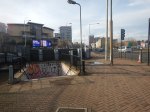
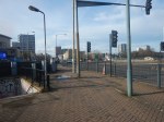
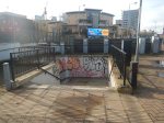
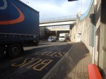
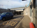
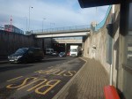
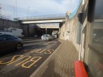
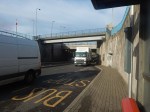
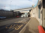
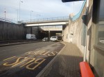
This article on MyLondon is entitled The ‘Creepiest’ London Bus Stop Hidden At The Bottom Of A Dark, Grimy Staircase In East London.
I just had to go and take a look at the bus stop.


Note.
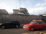
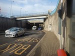
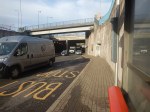
- The bus stop is on the road leading to the modern Southbound tunnel.
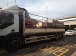
- There were a surprising number of full-size articulated trucks.
- The traffic was moving fairly slowly.
- The pollution was bad, but I’ve been in worse.
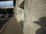
The stairs were covered in graffiti, but they appeared to have been swept recently, as there was only a small amount of litter and that was mainly a few leaves.
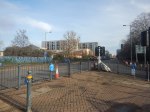
This Google Map shows the junction and the position of the bus stop.
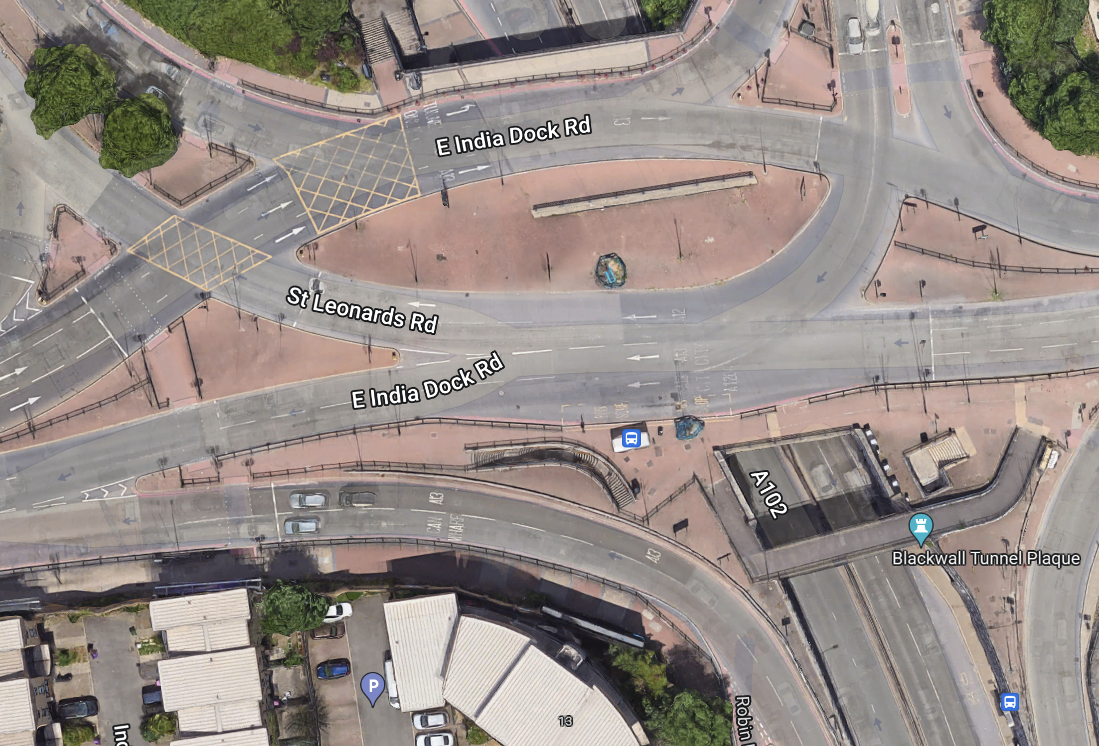
The bus stop is in the bottom-right corner of the map.
The Northern End Of The Silvertown Tunnel
This map from OpenRailwayMap shows the Northern end of the Silvertown Tunnel.
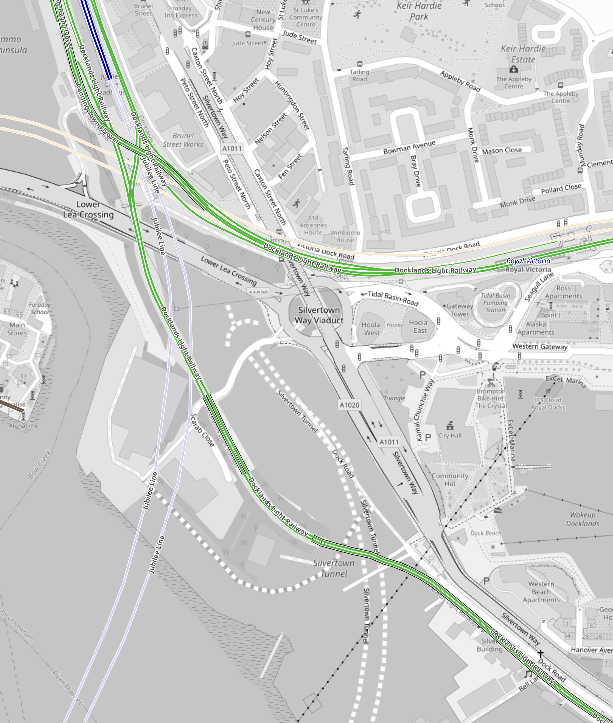
Note.
- The two dotted white lines show the route of the Silvertown Tunnel.
- The green lines are the Docklands Light Railway.
- The Northern green line is the Beckton branch.
- The Southern green line is the Woolwich Arsenal branch.
- The two silver-grey lines that loop across the top part of the map are the Jubilee Line.
- Canning Town Station is in the North-West corner of the map.
- The pair of cream lines across the map to the South of Canning Town station are the tunnels of the Elizabeth Line.
- The black dotted line going across the South-East corner of the map is the cable car.
This Google Map shows vaguely the same area.
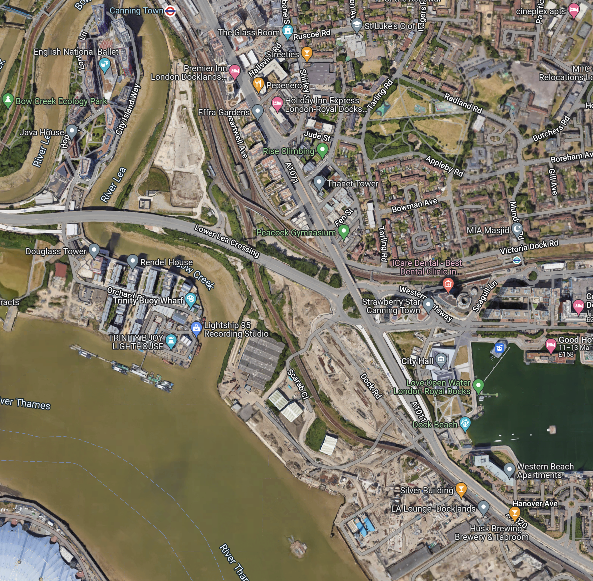
Note.
- Canning Town station at the North of the map in the middle.
- The dual carriage road running NW-SE past Canning Town station, is numbered A1011 in the North-West and A1020 in the South-East.
- The A1011 crosses over a roundabout and the Beckton branch of the DLR on a flyover.
- The roundabout is the Tidal Basin Roundabout, which will be the Northern connection of the Silvertown Tunnel.
- The road running West from the roundabout is the Lower Lea Crossing, which leads to Canary Wharf and the City.
- The water to the right, is the Royal Victoria Dock.
- The Royal Docks cable car station can be seen in the North-West corner of the dock.
- The new City Hall is between the cable car and the A1011.
Comparing the two maps, it appears that the Silvertown Tunnel will emerge somewhere in the cleared land to the West of the A1011.
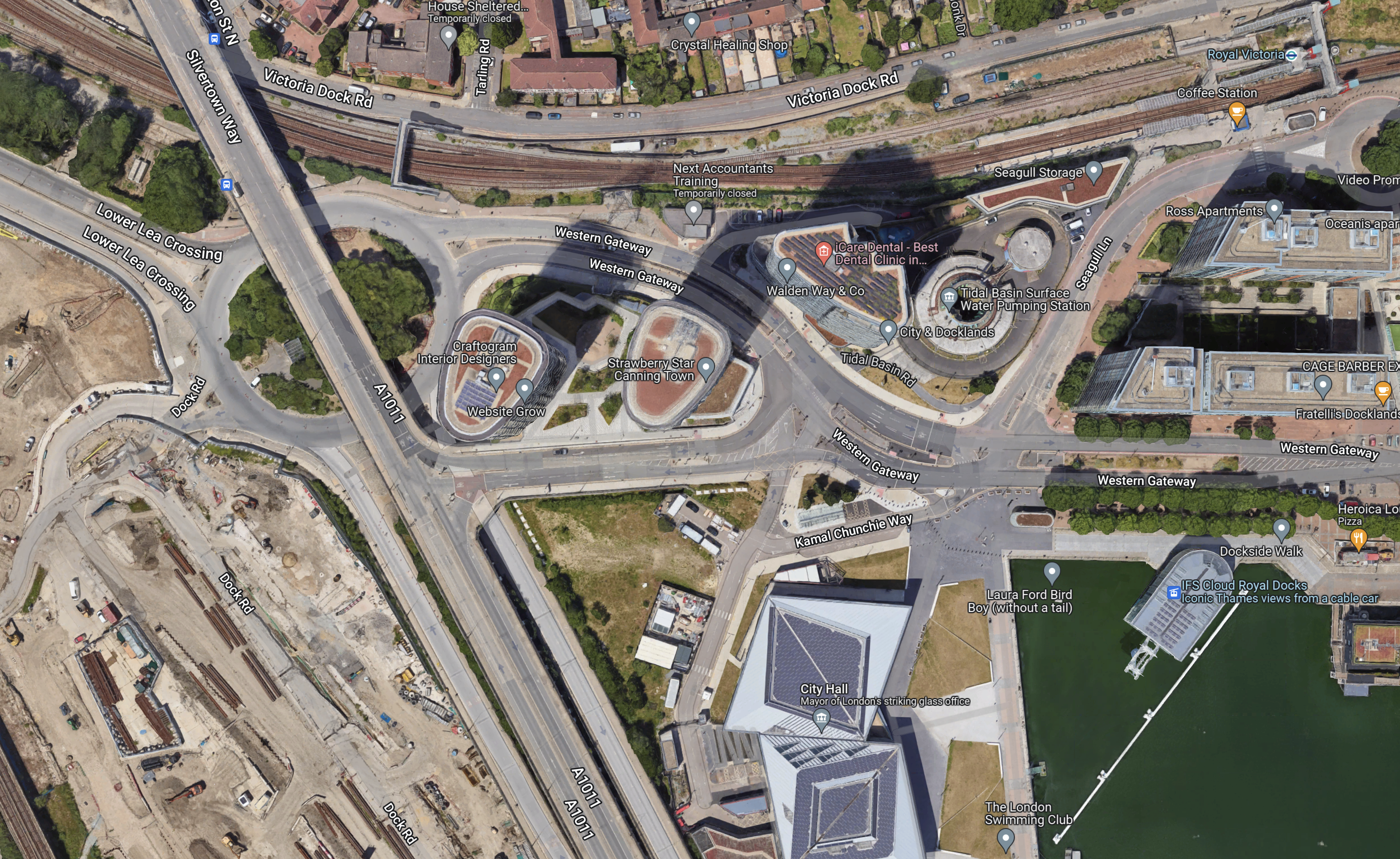
This second Google Map shows the Tidal Basin roundabout, City Hall and the Royal Docks cable car station.
I took these pictures of the area from the cable-car yesterday.

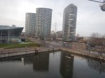
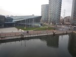
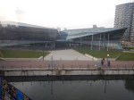
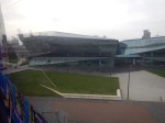
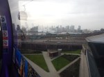
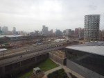
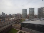
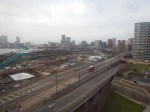
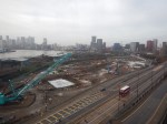
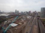
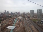
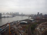
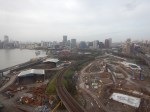
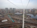
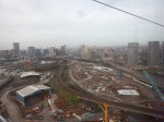
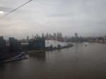
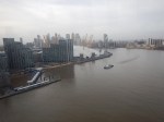
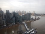
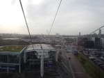
Note.
- The cable-car wasn’t busy.
- I was sitting alone on the Western side of the car.
I have some thoughts about the Silvertown Tunnel.
The Silvertown Tunnel Is Convenient For The New City Hall
From the Google Map, I included earlier, it looks like City Hall is on a loop from the Tidal Basin Roundabout.
it is also especially convenient for those members and officials who live in South London, who will just nip through the new tunnel.
I suspect that limousine access for the great and good to the old City Hall wasn’t as good.
The Obvious Truck Route To The City of London From the Channel Tunnel Will Be To Use The Silverton Tunnel
Recently. I have been watching the construction of 22 Ropemaker Street and I have surprised at how many large components for this building have come in by truck from Europe.
As they seem to arrive overnight, they are probably sneaked in by a secret route like the A13 to avoid a crossing of the River.
As Blackwall and Rotherhithe Tunnels don’t have a high clearance, could these components come into City through the Silvertown Tunnel.
I certainly feel that large truck access to Central London, is the major reason for building the Silvertown Tunnel.
But will large numbers of trucks using the Silverton Tunnel increase congestion on the roads in East London?
As Hackney and Newham are against the Silvertown Tunnel, I suspect they expect lots of traffic to be generated.
Will Satellite Navigation Systems Recommend Using The Silvertown Tunnel?
Of course they will and I suspect when the Northern section of the M25 is congested, vehicles will be sent through the Silvertown Tunnel and London to go North. I must admit, that my brain has sent me on that route to get through London, when the M25 is congested. But then I would generally have been driving a nippy Jaguar estate car, that could use Rotherhithe Tunnel or the bridges in Central London.
The Southern End Of The Silvertown Tunnel
This map from OpenRailwayMap shows the Southern end of the Silvertown Tunnel.
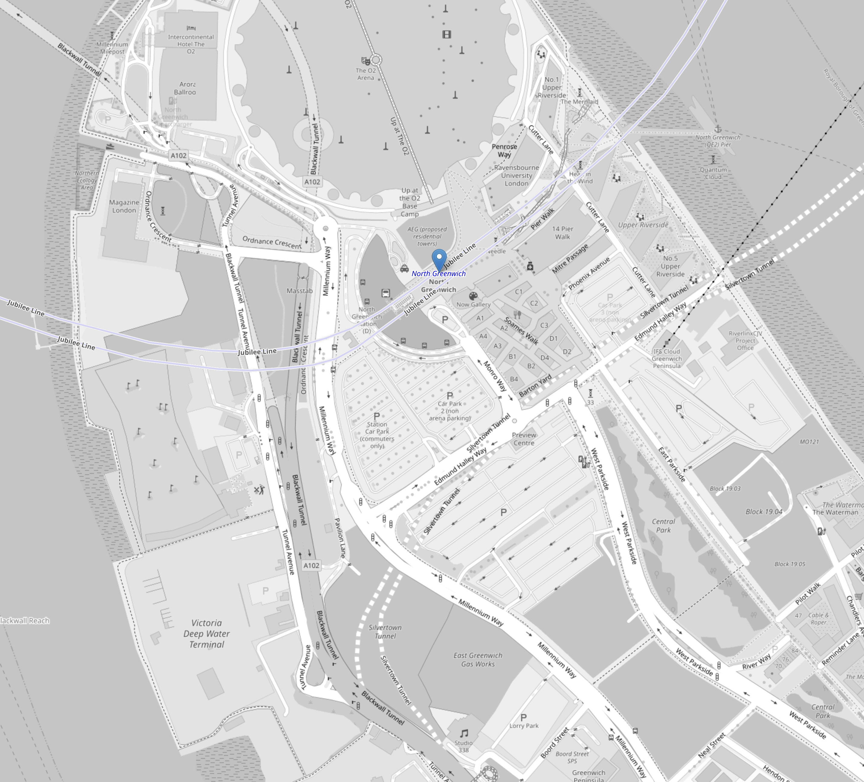
Note.
- The O2 Arena at the top of the map in the middle.
- The blue arrow below it, which indicates North Greenwich station.
- The two dotted white lines show the route of the Silvertown Tunnel.
- The two silver-grey lines that loop across the top part of the map are the Jubilee Line.
- The black dotted line between the Jubilee Line and the Silvertown Tunnel is the cable car.
This second OpenRailwayMap shows the Silvertown Tunnel’s junction with the approach to the Blackwall Tunnel.
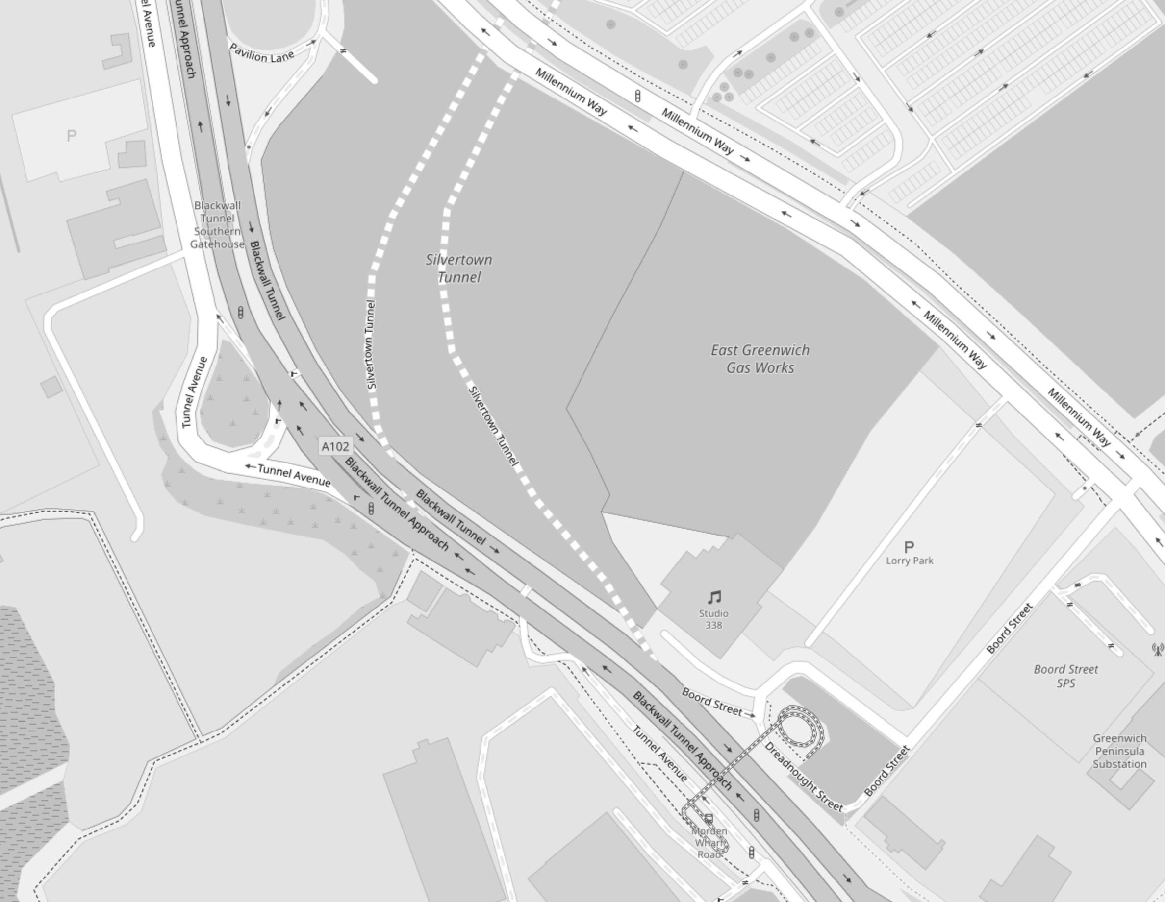
Note.
- The two dotted white lines show the route of the Silvertown Tunnel.
- Studio 338, which is a music and arts venue, is indicated by the double quaver.
- The site to the North of Studio 338 is labelled the East Greenwich Gas Works.
- The roads to the Northbound tunnel bores of both tunnels, split to the West of Studio 338.
- The roads from the Northbound tunnel bores of both tunnels, join to the West of Studio 338.
This Google Map shows the same area as the previous map.
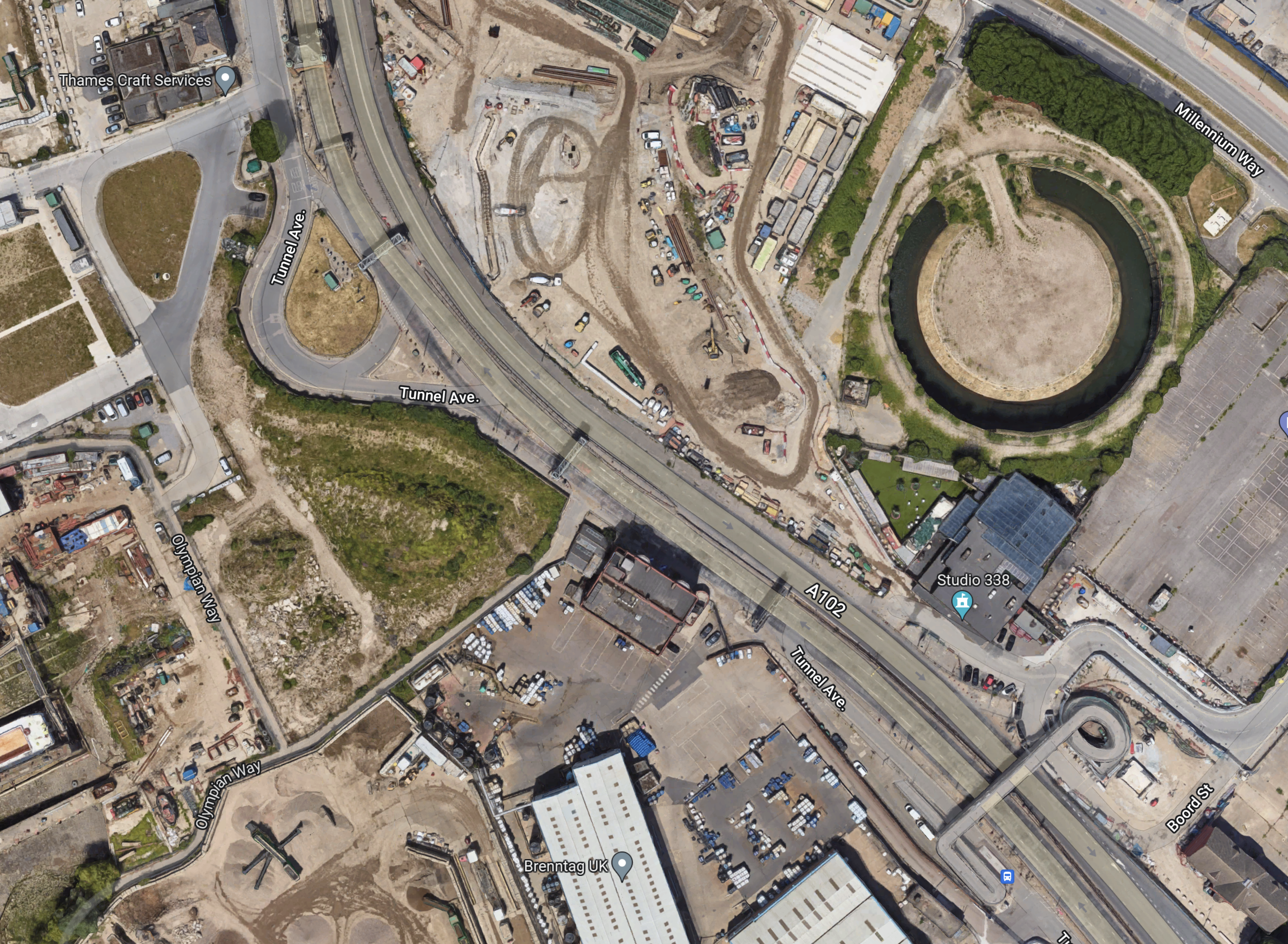
Note.
- Studio 338 is clearly marked.
- To its North is a circular structure on the site labelled as the East Greenwich Gas Works on the previous map.
- Could this be the remains of a gas holder?
Could it be that the works to the West of the circular structure are the start of tunneling?
Conclusion
It looks to me, that the designers of the Silvertown Tunnel have been able to squeeze in a junction between the approaches to the two tunnels, that should be fairly free-flowing.
Ruby Wax, Melanie Brown and Emily Atack Climb Pikes Peak
I have just watched these three ladies climb Pikes Peak in Colorado.
Around the age of 18, I used to regularly read the American car magazine; Road & Track and was fascinated to read about the annual hill climb, that took place on the 14,000 foot Pikes Peak.
I am surprised that the hill climb up Pikes Peak was not mentioned in the program.
I have only driven at anywhere near that height once, although, I flew my Cessna 340 at 24,000 ft several times.
When C and I had a memorable holiday in Ecuador, we took a small Chevrolet Metro, up to about 12,000 feet in the Andes.
Cars cough badly at that altitude!
Britain’s Longest Road Tunnel Could Be Built Along A27
The title of this post is the same as that of this article in The Argus.
These three paragraphs outline the scheme.
The longest road tunnel in the UK could be built as a long-term solution to congestion along the A27.
The tunnel, which would cost around £2 billion, has been touted as a way of addressing traffic and a way to improve local quality of life.
A new report by Transport for the South East (TfSE) said investing in such schemes is the only way carbon emissions from congested road traffic can be seriously tackled and improve.
The article also states, that the project is unlikely to be started before 2050.
These are my thoughts.
Where Will The Tunnel Be Built?
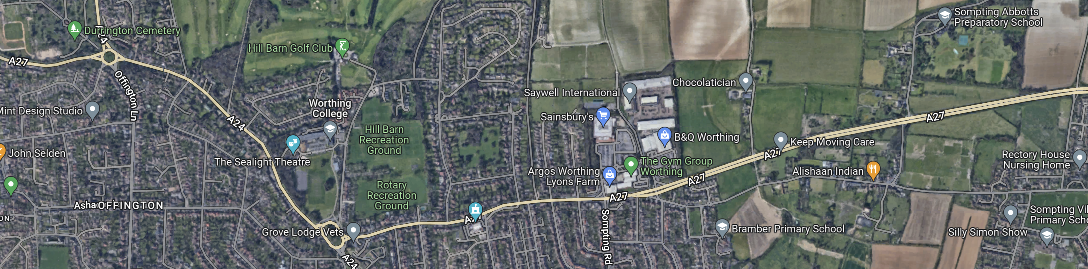
This Google Map shows Worthing.
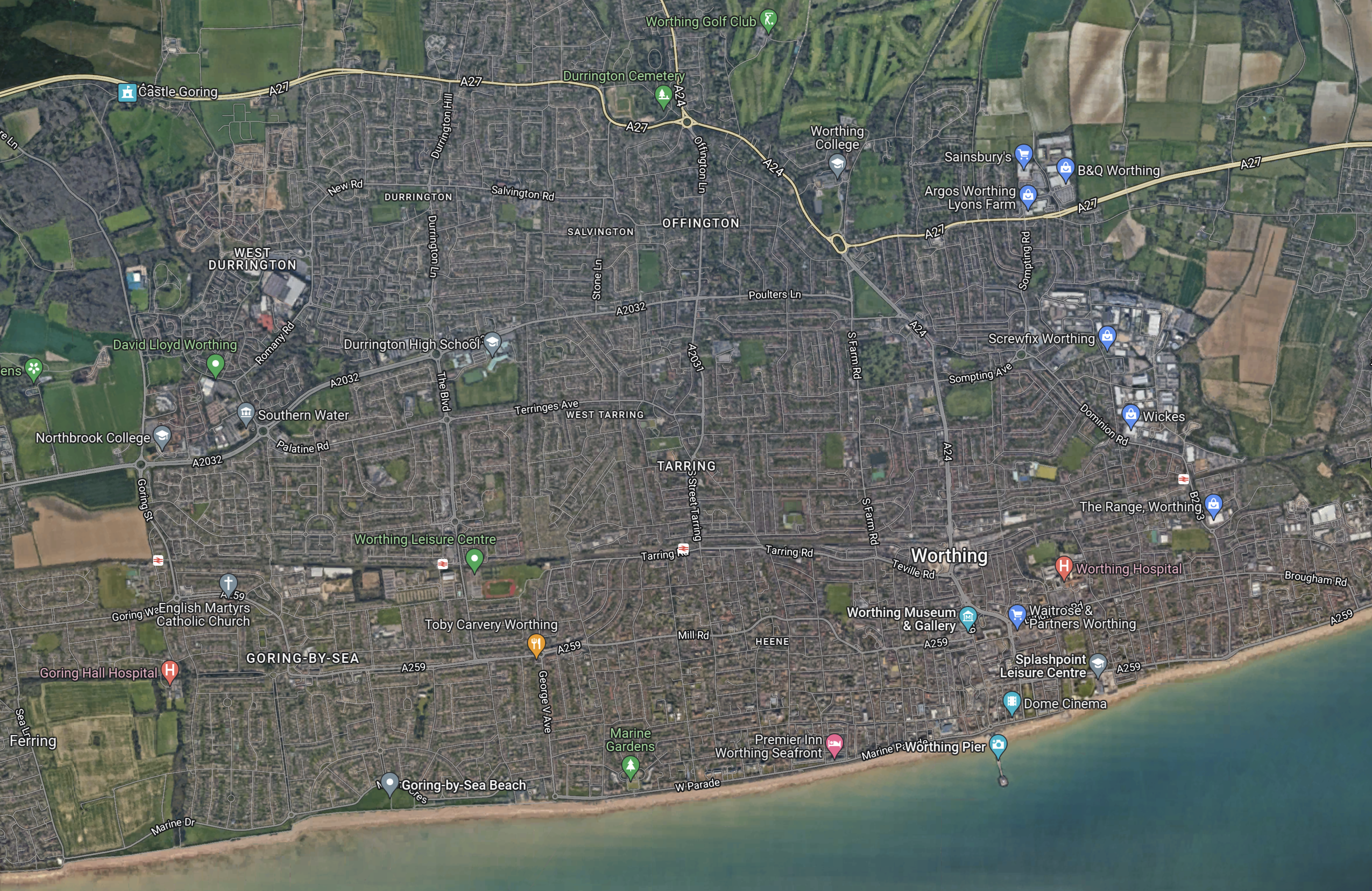
Note.
- The A27 road runs roughly across the top of the map.
- The A27 has sections of dual-carriageway.
- There are two roundabouts, where the A27 connects with the A24 road between London and Worthing via Sutton, Dorking and Horsham.
- The West Coastway Line runs across the middle of the map.
- Four of the five stations in Worthing are visible.
- From East to West the stations are East Worthing, Worthing, West Worthing and Durrington-on-Sea, with Goring-by-Sea off the map to the West.
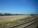
This Google Map shows the section of the A27 to the West of the A24.
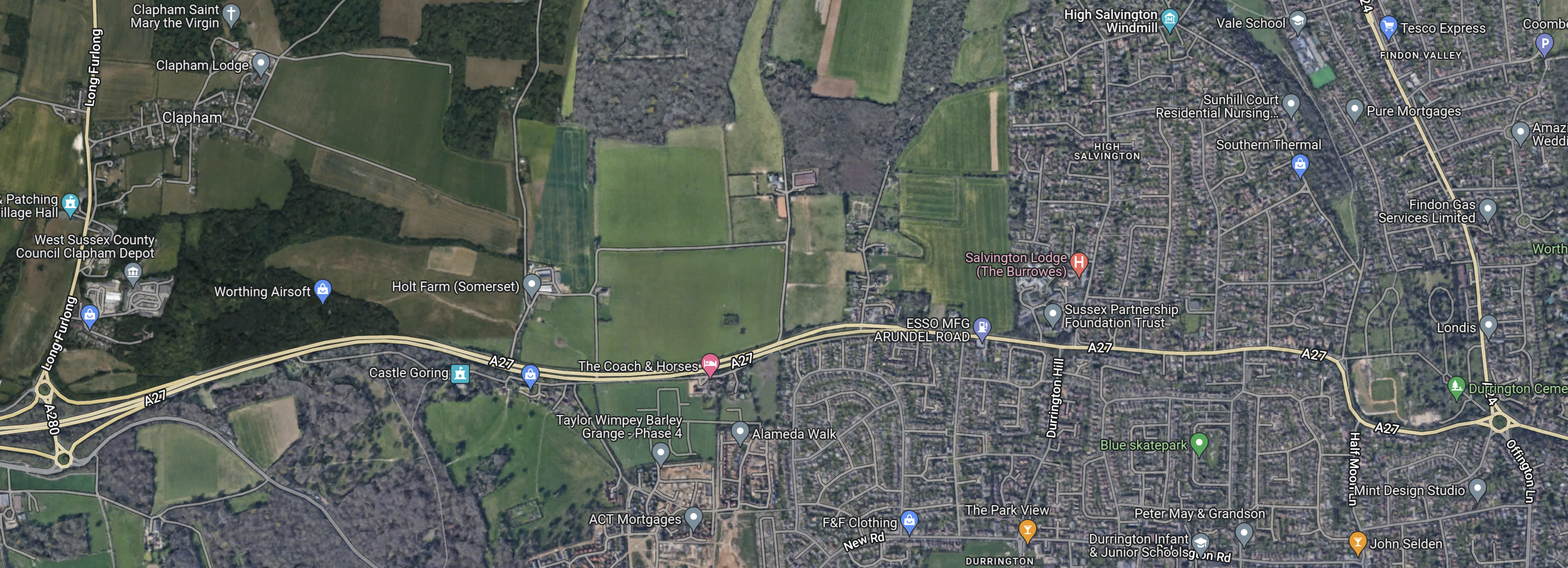
Note.
- The A27 goes all the way across the map.
- There is a large junction with the A280 at the Western edge of the map.
- There is a large roundabout at the junction with the A24, at the Eastern edge of the map.
- The Western half of the A27 between the two junctions, appears to be dual-carriageway.
- The A27 continues in the West as a dual-carriageway between the junction with the A280, almost as far as Arundel.
I suspect the Western portal of the tunnel would be close to the junction with the A280 and for much of the route, it could be bored under the A27 to minimise noise and vibration for those living along the route.
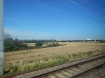
This third Google Map shows the section of the A27 to the East of the A24.
Note.
- The A27 goes all the way across the map.
- It shares a route with the A24 between the two roundabouts towards the West of the map.
- The Eastern section of the A27 appears to be dual-carriageway.
- T27 continues in the East to the North of Shoreham and Brighton and the South of Lewes.
I suspect the Eastern portal of the tunnel would be close to the Western end of the dual-carriageway section to Lewes and for much of the route, it could be bored under the A27 and A24 to minimise noise and vibration for those living along the route.
As we’re good at tunneling in the UK, I don’t think this will be a difficult tunnel to bore.
What Should We Do In The Interim?
The article in the Argus says this.
Should the plans go ahead, the tunnel could be ready for construction by 2050, with a range of other measures proposed to cut congestion in the short term.
2050 is a long time to wait.
I haven’t driven in the area much in the last twenty years, as even before I didn’t drive, I’ve tended to take the train to places like Brighton, Eastbourne, Portsmouth and Southampton.
In my experience the East and West Coastway Lines along the South Coast have reasons, why people drive for preference.
- The trains are not frequent enough. There should be four trains per hour (tph) if possible.
- There needs to be more direct train services to London and Gatwick Airport.
- Some of the stations are not very passenger-friendly. More step-free access is needed.
- Some of the stations can’t handle twelve-car trains.
- The Class 313 trains, that are used to the West of Brighton, were built in the 1970s. Similar trains of that period in the rest of the UK, have either been replaced or will soon be.
- Is there enough car parking?
- Could some closed stations be reopened?
- Could Park-and-Ride facilities be built, where the A27 crosses the railway?
- Would it help, if the West and East Coastway Lines didn’t need a change at Brighton?
- Would a high speed service between Eastbourne and London via Hastings and High Speed One attract leisure passengers.
An improved railway might reduce traffic on the A27.
Perhaps the easiest improvement would be to replace all the East and West Coastway fleet with new or refurbished trains with the following specification.
- 100 mph operation.
- High-class well-designed interior matched to the passenger mix.
- Ability to handle the Marshlink Line and other sections without electrification.
- Wi-fi and power sockets.
- A refreshment trolley might be a good idea.
A marketing campaign might help.
Speed Limit To Be Lowered To 20mph In Wales
The title of this post, is the same as that of this article on the BBC.
These four paragraphs describe the policy.
Speed limits in built-up areas look set to be reduced from 30mph to 20mph in Wales from next year – a UK first that is controversial among some drivers.
Ministers say a 20mph speed limit will lower road collisions and traffic noise and encourage people to walk and cycle.
The slower limit has been divisive in areas where there have been trials with some motorists complaining of more congestion and journeys taking longer.
The proposed new law will be put before a Welsh Parliament vote on Tuesday.
I’m not sure that it will work.
I live in a 20 mph zone in Hackney.
But cars and motor bikes still speed through at up to 50 mph, as there is no visible enforcement.
‘New Era’ As German Coalition Prioritises Rail Spending Over Road
The title of this post, is the same as that of this article on Railway Gazette.
This is the first paragraph.
The so-called ‘traffic light coalition’ formed by the Social Democratic, Green and Free Democratic parties as the next federal government has committed to launching a ‘Rapid Capacity Expansion’ to enhance railway infrastructure as part of its wider transport strategy.
Other policies would include.
- A national regular interval timetable as a matter of priority.
- Increasing rail’s share of the freight transport market from the current 19% to 25% by 2030.
- Doubling passenger traffic by the end of the decade.
- Electrify 75 % of the network by 2030.
- Road tolls for trucks would be increased to reflect CO2 emissions.
- New commercial and industrial developments would be mandated to examine the potential for incorporating a rail connection.
- A pressure group, whose name translates as Alliance Pro Rail is in favour.
But will the average German voter in their Audi, BMW, Mercedes or Volkswagen cruising down the autobahn be in favour?
It certainly looks like it will be all change on German railways and roads.
The article is also linked to three in depth articles on the future of German railways published by Railway Gazette in the last few months.
- Comment: Climate Goals To Trump Profits
- German Associations Seek More Competition In Second Rail Reform
- Rail Reopenings To Support Climate-Friendly Transport
It certainly is all change.
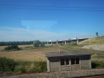
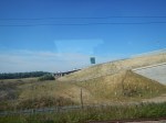
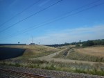
The East Coast Main Line And The A14
I finally managed to get pictures of the new route of the A14 as it crosses over the East Coast Main Line.
This Google Map shows the crossing from above.
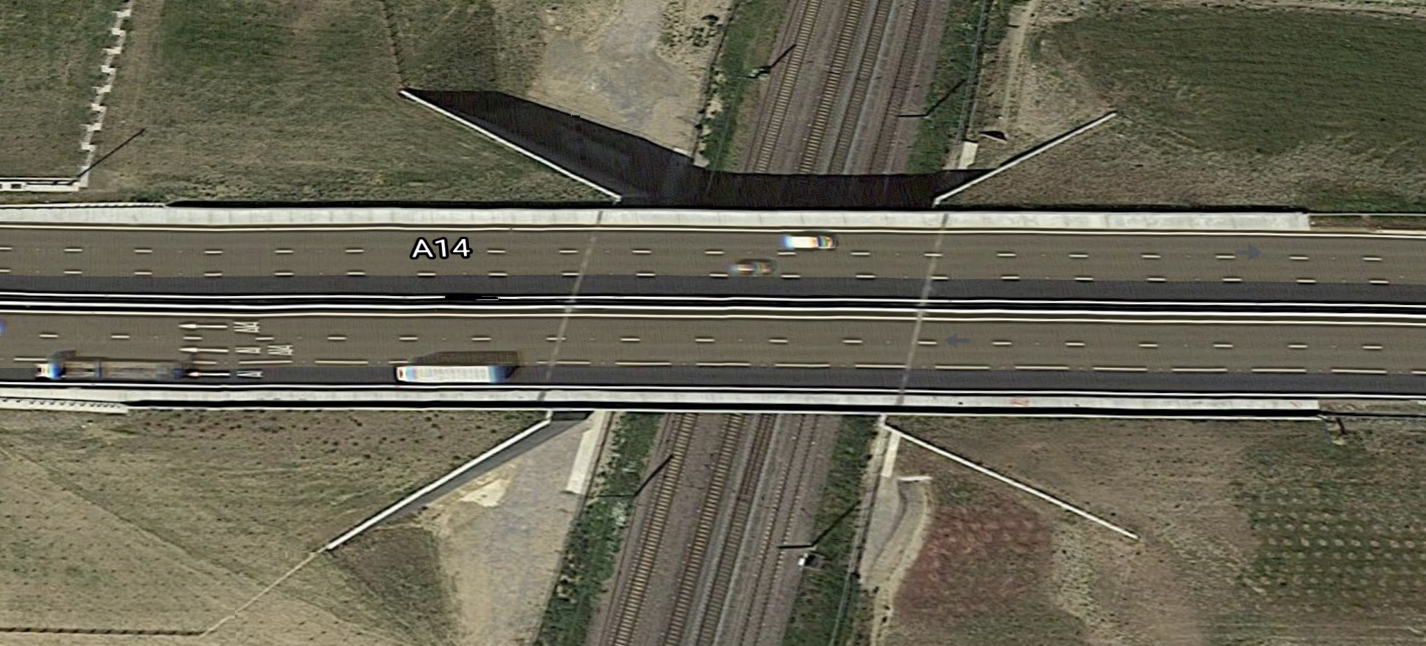
I do wonder, why in the 1990s, when they created the A14, they didn’t do a proper job?
But then history shows that Governments don’t seem to get East-West links in the UK right.
- Road and rail links across the Pennines are inadequate.
- Only recently have Edinburgh and Glasgow been properly connected by rail.
- The electrification of the Great Western Railway between London and Swansea has been an on-off project, that should have been done after electrification of the East Coast Main Line, before the team of engineers had been disbanded.
- Road and rail links to the port of Holyhead were ignored for years and could be improved again.
- The Varsity Line between Oxford and Cambridge was recommended by Beeching to be kept, but Harold Wilson closed it and now we are recreating it.
Is it because none of these routes are of much importance for politicians and civil servants living in London?
If We Have More Electric Cars Do We Need More Parkway Stations?
We are all being encouraged by carrot-and-stick methods to change to zero-carbon vehicles.
And it’s not just from Government and environmental activists!
I was recently asked on a train, if I drove an electric car, by the guy sitting opposite me at a table. He told me, that his ten-year-old BMW needed replacing and his daughters were pestering him to get an electric car.
- He had looked into it and said he could afford one.
- However like many, he was worried about the battery range.
- He also said charging at home would not be a problem, as he lived in a house with parking for three cars and could install his own grid-to-vehicle charger.
- I asked him what he did and like my late wife; C, he was a family barrister.
C would drive thousands of miles a year to Court from our house in Suffolk in her Porsche Boxster, to places like Bedford, Cambridge, Chelmsford, Colchester, Ipswich, Milton Keynes, Norwich, Southend and Yarmouth. Only when she went to London did she use a train from Whittlesford Parkway station.
There are a lot of people like family barristers, where their profession dictates that they travel long distances by car to a variable place of work.
Purchase of an electric car, for some drivers may turn out to be a worrying one, as will they always find a charger at the other end of their journey, to charge the vehicle to get home.
I can see parkway stations like Whittlesford developing into electric parkway stations, where most parking spaces have a charger.
- Parking could be booked, as in many railway car parks.
- Some stations could probably host one or more wind turbines.
- The vehicle batteries with the appropriate grid-to-vehicle technology could be used as grid storage.
Get the technology and the locations right and I can see more parkway stations being developed.
It might also be the sort of infrastructure project that a financial institution like L & G might finance.
