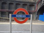
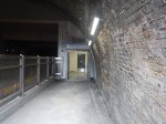
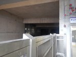
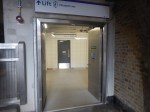
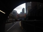
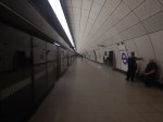
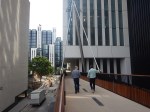
The Barbican Entrance To The Elizabeth Line – 10th June 2022
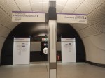
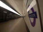
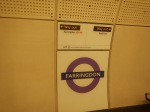
This series of pictures shows the route between the Westbound platform at Barbican station to the Elizabeth Line at Farringdon station.


Note.
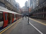
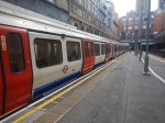
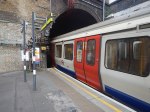
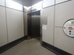
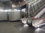
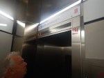
- There is only a single lift between the Western end of the Westbound Platform 2/3 at Barbican station and the lobby between the two banks of escalators and inclined lifts, that give access to the Barbican end of Elizabeth Line platforms.
- Currently, there is no access between the Elizabeth Line and the Eastbound Platform 1 at Barbican station.
- If you lived in one of the towers of the Barbican estate, if might be a marginally shorter walk to walk along Platform 2/3 and up the stairs to the street.
When C and myself, lived in Cromwell Tower in the Barbican, in the 1970s, we must have walked that route with our three children hundreds of times. It really isn’t very different.
I have a few thoughts.
Is The Route Really For Passengers?
Consider.
- A journey, where you might need to use the route could be one like Barking and Heathrow.
- But you have a wide choice, as you could alight at Whitechapel, Liverpool Street, Moorgate, Farringdon and Ealing Broadway on the sub-surface lines and have step-free access to the Elizabeth Line.
- I suspect most customers will choose Whitechapel or Liverpool Street.
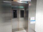
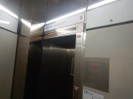
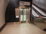
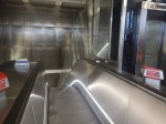
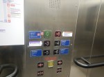
This picture shows the comprehensive control panel in the lift.
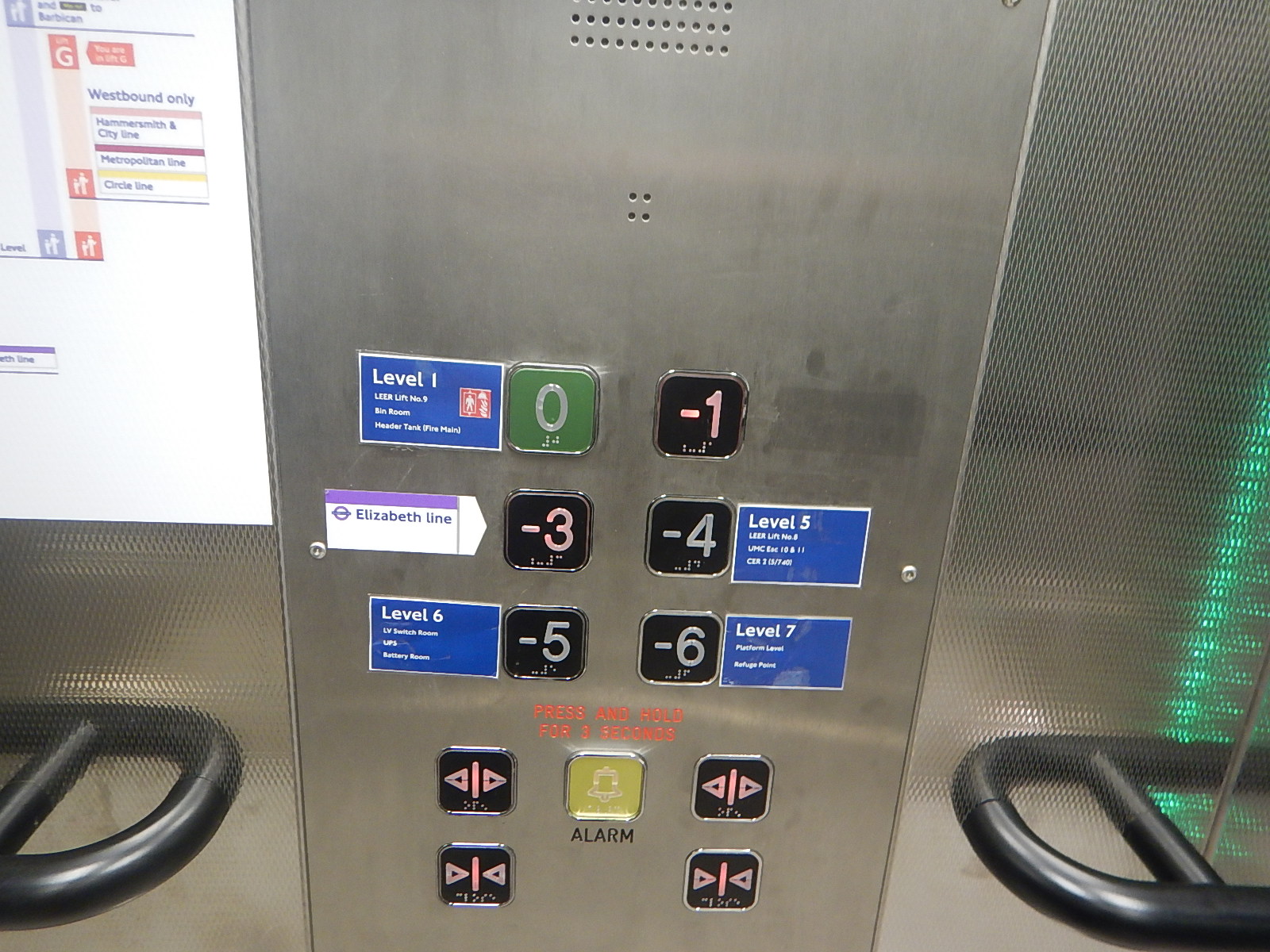
Could it be, that the main purpose of the lift is for staff access to hard to reach plant rooms?
Or perhaps it is designed to get a stretcher or wheelchair to the island platform at Barbican station?
Is The Connection Incomplete?
It could be that there is more work to do and the connection is incomplete.
There is a section, which is entitled Elizabeth Line, in the Wikipedia entry for Barbican station, where this is said.
Farringdon’s Barbican ticket hall for the Elizabeth line is just to the west of Barbican station along Long Lane. This construction involved significant changes at the western end of the station, including the demolition of the former signal box to construct a lift shaft from the Elizabeth line station to the westbound Underground platform only. The original plan of a new footbridge spanning the tracks to the eastbound platform was not proceeded with on the grounds of engineering difficulties. Work was anticipated to be completed in 2018, but was completed in May 2022.
It does look like, that the best that was possible was built.
Does The Paddington Bakerloo Line Link Make The Bakerloo Line A NW-SE Cross-Branch Of The Elizabeth Line?
The Elizabeth Line has these major North-South cross-branches.
- Jubilee Line at Bond Street station.
- Charing Cross Branch of the Northern Line at Tottenham Court Road station.
- Thameslink at Farringdon station.
- Bank Branch of the Northern Line at Moorgate station.
- East London Line of the Overground at Whitechapel station.
With the opening of the Paddington Bakerloo Line Link, another North-South cross-branch of the Elizabeth Line has been added.
It could be argued that London has a new NW-SE high frequency link between Harrow & Wealdstone and Abbey Wood stations.
- Bakerloo Line – Harrow & Wealdstone and Paddington
- Paddington Bakerloo Line Link – 165 metre level step-free walk
- Elizabeth Line – Paddington and Abbey Wood via Whitechapel and Canary Wharf
The journey would appear to take 73 minutes from the National Rail journey planner, which allows fifteen minutes for the change at Paddington.
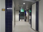
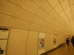
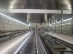
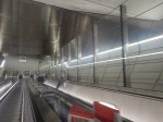
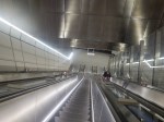
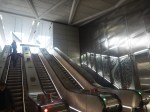
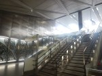
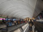
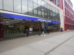
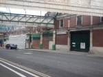
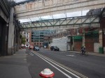
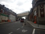
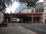
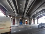
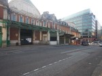
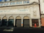
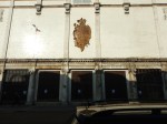
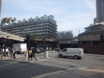
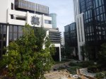
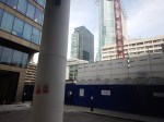
Elizabeth Line – Farringdon Station – 24th May 2022
I took these pictures at the Barbican entrance to the Elizabeth Line at Farringdon station.


Note.
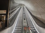
- The Barbican entrance is effectively at the Western end of Barbican tube station.
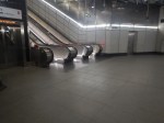
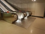
- There are two banks of escalators between street level and platform.
- Both banks of escalators incorporate an inclined lift.
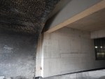
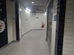
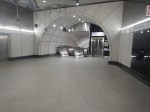
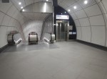
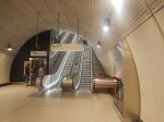
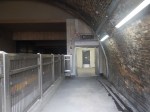
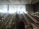
There is also a lift connection between the landing between the two banks of escalators and the Westbound platform at Barbican station, which is shown in these pictures.

Note.
- It was a bit difficult to find.
- I am also not sure that there are stairs.
But it could be a quick shortcut for those with local knowledge.
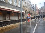
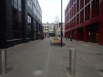
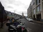
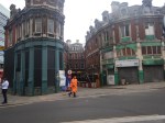
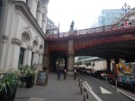
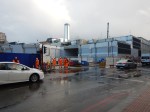
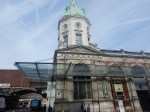
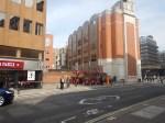
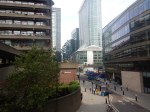
I took these pictures at the Farringdon entrance to the Elizabeth Line at Farringdon station.


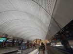

Farringdon station is a very extensive station.
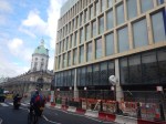
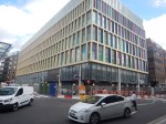
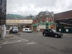
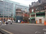
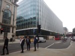
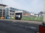
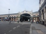
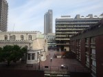
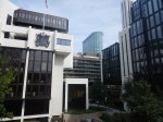
Farringdon Station – 13th February 2022
The two main entrances to Farringdon station have now been finished and the road that runs between them has now been pedestrianised.
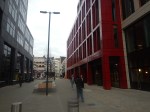
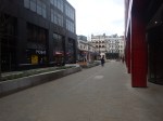
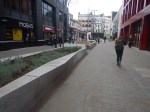
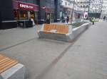

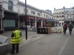
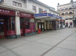
Is Farringdon station the only London station with separate entrances for National Rail and the Underground that are on opposite sides of a pedestrianised plaza?
Does it need to have some outdoor cafes in the Summer months?
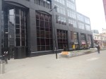
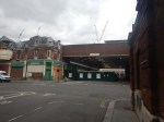
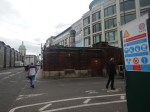
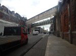
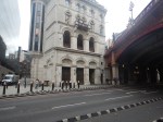
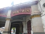
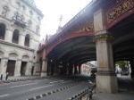
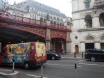
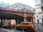
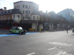
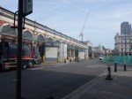
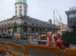
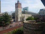
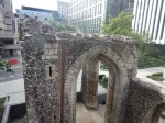
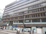
Farringdon Station – 3rd September 2019
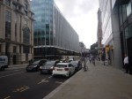
These pictures show the Barbican station end of the Crossrail entrance at Farringdon station.

I showed this entrance in Farringdon Station – 7th July 2018.
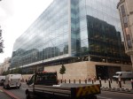
Is This A Massive Endorsement For The City Of London?
This Google Map is dominated by the new Goldman Sachs building in the City of London.
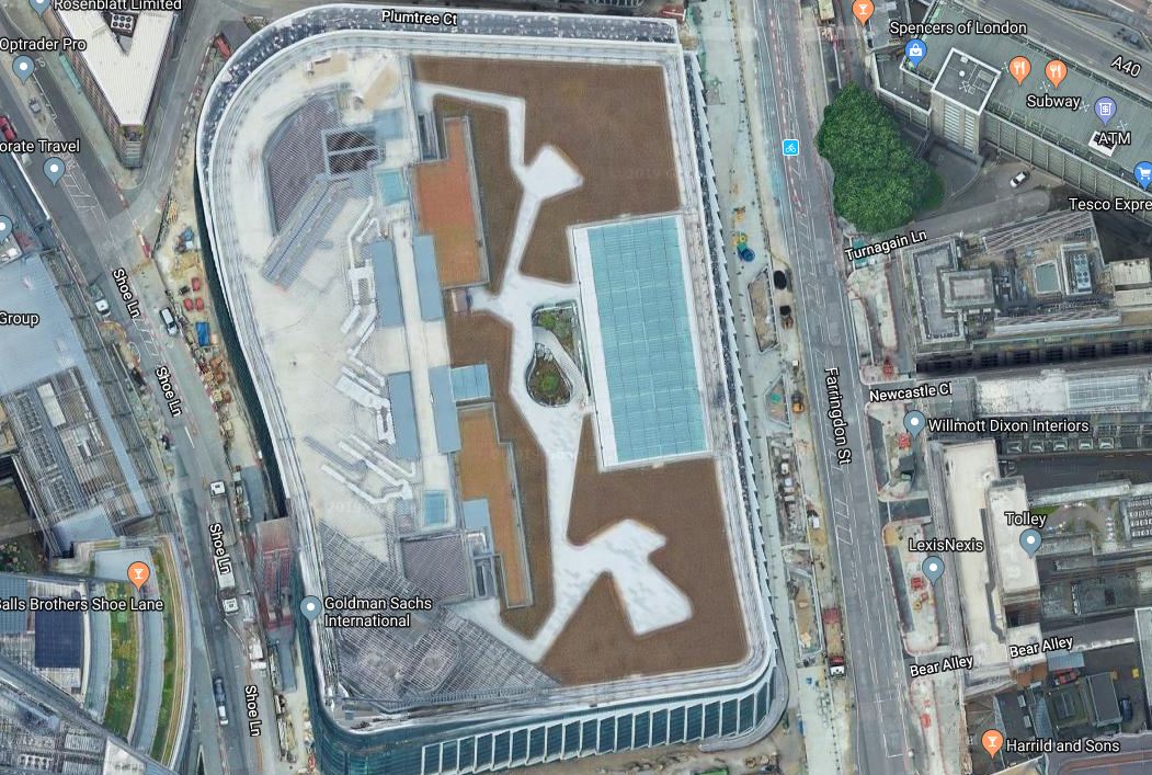
Make what you want of the building and its significance for the City.
But is it an endorsement of a strong future or a monument to a glorious past?
Location, Location, Location
One property developer once said, these were the three most important things about a property.
This Google Map shows the location with respect to Farringdon station.
The station, which is at the top of map, will be the best connected in Central London as it will be the crossing of Crossrail and Thameslin. That probably won’t be important to some of the employees of Goldman Sachs, but the building apparently has favoured bicycle spaces over car parking.
Note just to the South of Farringdon station, two of the large buildings of Smithfield Market. These two are very much under-used and plans exist to convert part of them into the new Museum of London.
But a lot of the area between Goldman Sachs and Farringdon is under-developed and will the Goldman Sachs decision, lead to more development of offices, hotels and residences in this part of London at the West of the actual City?
Terminal Six At Heathrow And Terminal Three At Gatwick
I often joke, that this area, will become extra terminals at Heathrow and Gatwick Airports, with an easy link to the trains to Scotland and the Continent just a short taxi ride, bicycle ride or one stop on the Underground up the road at Kings Cross and St. Pancras.
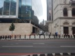
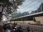
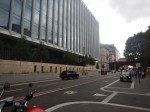
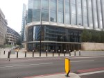
A Walk From Smithfield To The Goldman Sachs Building
These are some pictures I took on the way.
The New Museum Of London Site
Holborn Viaduct
The Goldman Sachs Building

I’m sure that if I can walk to and from Farringdon station at seventy-two, then a lor of people working in the building will use the railway to get to and from work.
Conclusion
Have Goldman Sachs decided to build their new offices at the Crossroads of the World?
Crossrail Rushes To Make Bond Street Ready For Testing
The title of this post is the same as that of this article on Rail Technology Magazine.
Mark Wild, who is Crossrail’s Chief Executive, is quoted as telling the London Assembly.
Our current focus is predominantly on key areas of risk such as ensuring that Bond Street station is at the required stage of completion to allow us to commence trial running early in 2020..
The more I read about this project, the more I believe, that the projects lateness is down to two things.
- Some very optimistic project management by contractors to get some of the enormous contracts on offer.
- A lack of resources in vital areas like some trades and the testing of trains.
But then what do I know about Project Management and computer software?
Could Bond Street also be the only really late station, as it is on a very cramped site in the centre of some of the most expensive real estate on the planet?
The 3D visualisation shows the area around the station.
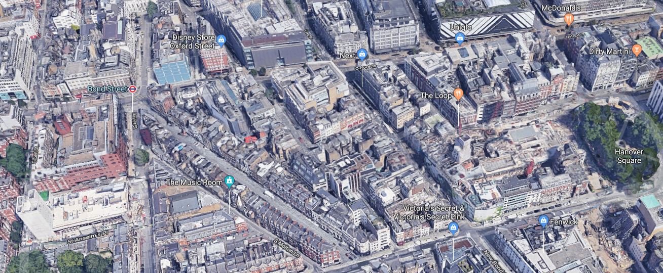
Note .
- The new Western entrance to Bond Street Crossrail station, which is the cleared site with the russet-coloured building behind.
- The new Eastern entrance, which is just to the West of Hanover Square.
- Bond Street running down from Next on Oxford Street to Fenwicks.
Surface access is not good to say the least.
The same access problem probably applies at Paddington, Tottenham Court Road, Farringdon, Moorgate and Liverpool Street stations, but at these five stations, there were buildings that could be demolished to give access for construction.
It should also be notes, that some of these stations have only a few local residents.
I’ll take a quick look at these five stations.
Paddington
This Google Map shows Paddington station.
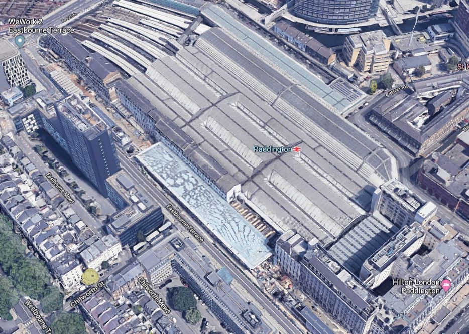
Note the Crossrail station, which has been squeezed into the old cab rank, alongside the station.
Tottenham Court Road
This Google Map shows Tottenham Court Road station.

Note the amount of cleared space around the station,
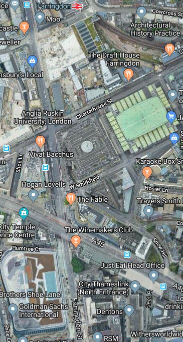
Farringdon
This Google Map shows Farringdon station.

The Crossrail station is to the West of the current station. It must have helped contractors, that the station had been redeveloped a couple of times for the construction and update of Thameslink.
Moorgate
This Google Map shows Moorgate station.
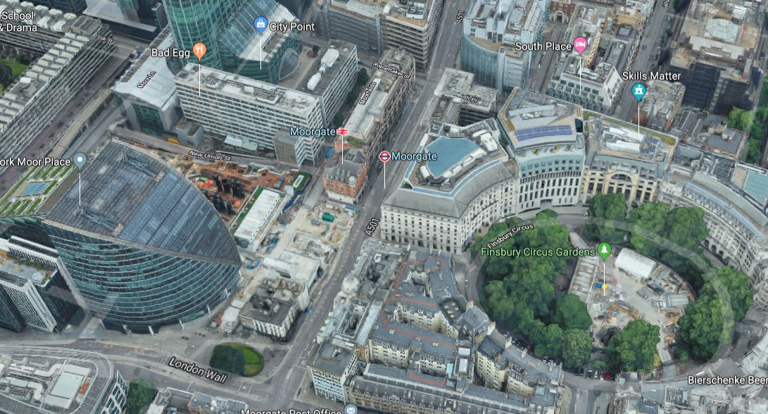
Moor House, which is the large office block behind Moorgate station, was built in 2004 and was designed to accept Crossrail in the basement.
Finsbury Circus, which is the green space in the East was used as a construction site.
Liverpool Street
This Google Map shows Liverpool Street station.
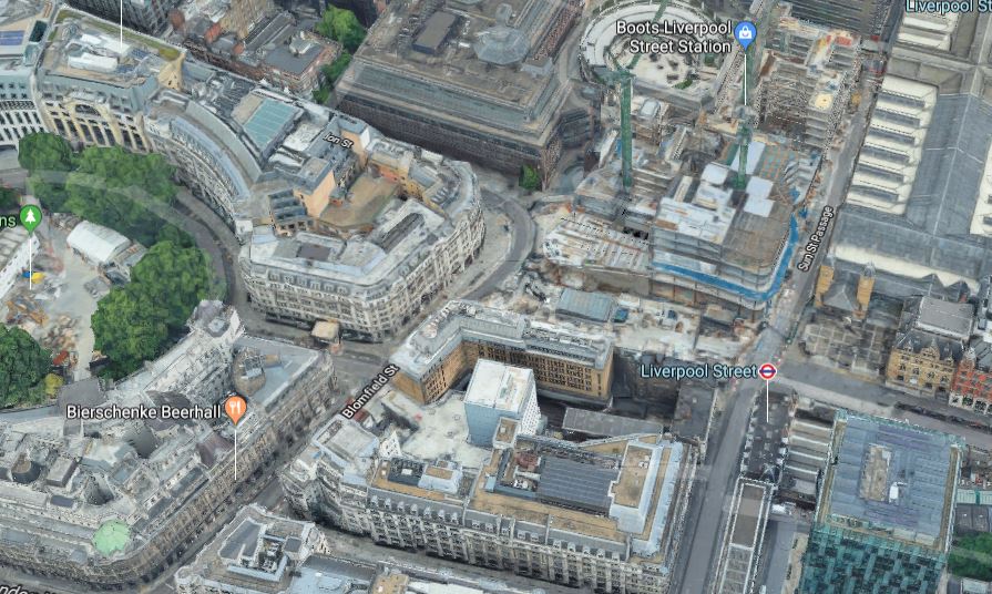
The main entrance to the Crossrail station will be in front of the Broadgate office complex, which is to the West of the station.
This section of Broadgate is also being redeveloped, which probably helps and hinders in equal measure.
Conclusion
I think lessons will be learned that can be applied to other cross-city rail projects.
- Future-planning as with Moor House should be increasingly used.
- Should stations be built in conjunction with other developments?
- Are stations in areas of high real-estate values a good idea?
- Could more innovative ways be used to bring in construction materials?
Will future projects be better?
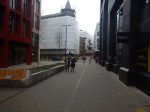
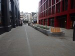
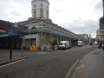
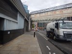
A Detailed Look At The Space Between Farringdon Station And The New Museum Of London Site
I took these pictures as I walked up Charterhouse Street beside the new site of the Museum of London.


Note.
- The buildings to be used for the museum need a lot of work.
- The two buildings which could both be cold stores on the railway side of Charterhouse Street wouldn’t appear to have much architectural merit.
- Once Crossrail works are finished, there will be two big gaps leading to the railway lines and Farringdon station.
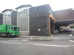
This picture from Crossrail says it is the Chaterhouse Street ticket hall.
So it looks like that box in the third picture is an entrance to the station and it’s bang opposite the museum.
This Google Map shows the space on the railway side of Charterhouse Street.
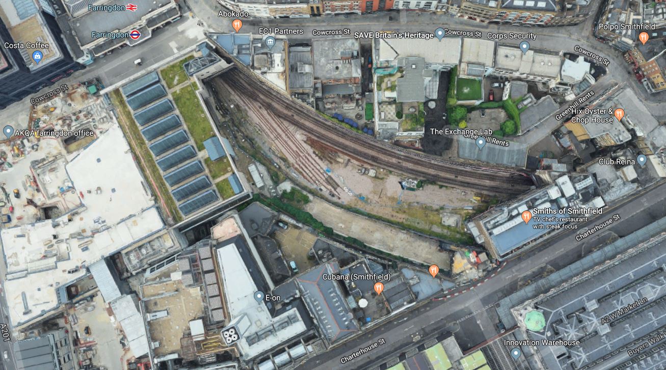
Note.
- Farringdon station at the top of the map towards the left.
- To the left of the station is the site I talked about in TfL Gives Go Ahead To Build Above Farringdon Station.
- Below that site, is another site on the corner of Charterhouse Street and Farringdon Road, that could either be developed in conjunction with the site above it or on its own.
- The Circle, Hammersmith & City and Metropolitan Lines curving between Farringdon and Barbican stations.
- What appear to be a couple of sidings are the remains of the Widened Lines, which used to lead to Moorgate.
- There is also a large curved space, which used to be which was used by services between Bedford and Moorgate, before Thameslink was created.
There’s a lot of space in the area to create a building or series of buildings that provide.
- A worthwhile amount of office space.
- A landmark hotel on one of the best-connected sites in London.
- The right amount of retail space, bars, cafes and restaurants.
But above all a short and pleasant walking route between Farringdon station and the new Museum of London could be designed.
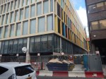
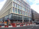
TfL Gives Go Ahead To Build Above Farringdon Station
The title of this post is the same as this article on New Civil Engineer.
These are the first two paragraphs.
Transport for London (TfL) has signed an agreement with developer HB Reavis to build an oversite development above the new Farringdon Elizabeth Line station.
TfL said the new seven-storey, mixed use building was part of a huge programme of Elizabeth Line property development which could raise £500M to be reinvested into improving transport in London.
The article then goes on to add more detail about this development and a dozen or so others under development or construction.
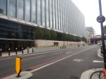
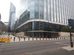
I took these pictures at Farringdon station this morning.


This Google Map shows the site.

The site is between the station and Farringdon Road.
I feel that the site will be a very well-connected one.
- There is a direct rail connection to Gatwick, Heathrow and Luton Airports.
- Eurostar is one stop away on Thameslink.
- There is a direct rail connection to Euston, Kings Cross, Liverpool Street, London Bridge, Paddington and St. Pancras stations.
- Many of London’s Central attractions are easy to access.
Could it become an up-market hotel?
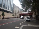
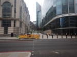
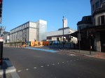
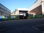
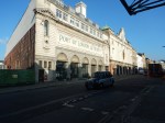
Walking The Crossrail Route Between Farringdon And Moorgate Stations
I took these pictures on the route between Farringdon and Moorgate stations via Barbican station.


Note.
- The massive amount of new development along the route.
- The new site for the Museum of London.
- Smithfield Market, which surely will be developed or refurbished.
- The large amount of housing in the Barbican Estate.
- The new office developments surrounding Moorgate station.
To me, one of the most interesting developments, is the creation of new walkways across the Barbican Estate and through the new office developments to link Batrbican and Moorgate stations to London Wall and walking routes going towards St. Pauls, Bank and the River.
Crossrail will serve the City indirectly using a modicum of walking in at a pleasant height away from the traffic.
