Nunhead Junction Improvement
London has a rail capacity problem, for both freight and passenger trains.
This report from Network Rail is entitled The London Rail Freight Strategy (LRFS).
One of the secondary recommendations of the report is to improve Nunhead junction.
The report explains it like this.
Rail freight stakeholders have consistently highlighted Nunhead as a priority location for improving the flow of freight around the London orbital routes. The junction to the immediate east of the station is a flat crossing where two lines of route and multiple passenger and freight services groups converge into the South London Line, creating a pinch point for capacity.
Freight train drivers, when consulted for input into this strategy, flagged the route eastbound from Peckham Rye through Nunhead and towards Lewisham as a challenging section on which to keep heavier trains moving. This is primarily a consequence of the relatively slow permissible speed of 25mph over Nunhead Junction when routed towards Lewisham,
which follows a steadily rising gradient from Peckham Rye.The option proposed by this strategy is for changes to the track alignment in order to increase the speed of the turnout towards Lewisham, as far as can be achieved without affecting the speed of the main route towards Catford. This option would primarily benefit the performance of eastbound freight flowing from the South London Line towards the North Kent lines, one of the key rail freight corridors in the South East, enabling freight trains to run at faster and more consistent speeds towards Lewisham.
This would most likely increase right time presentation at the critical flat junction at Lewisham, as well as assisting the flow of passenger and freight trains to the Catford Loop by ensuring preceding Lewisham-bound traffic can clear Nunhead Junction as quickly as possible.
Addressing the existing constraints to freight traffic through Nunhead, which by their nature most affect the heavier bulk traffic that characterises the North Kent corridor, would also support industry aspirations to maximise the payloads that trains can haul.
This map from cartometro.com shows the route between Nunhead and Lewisham stations.

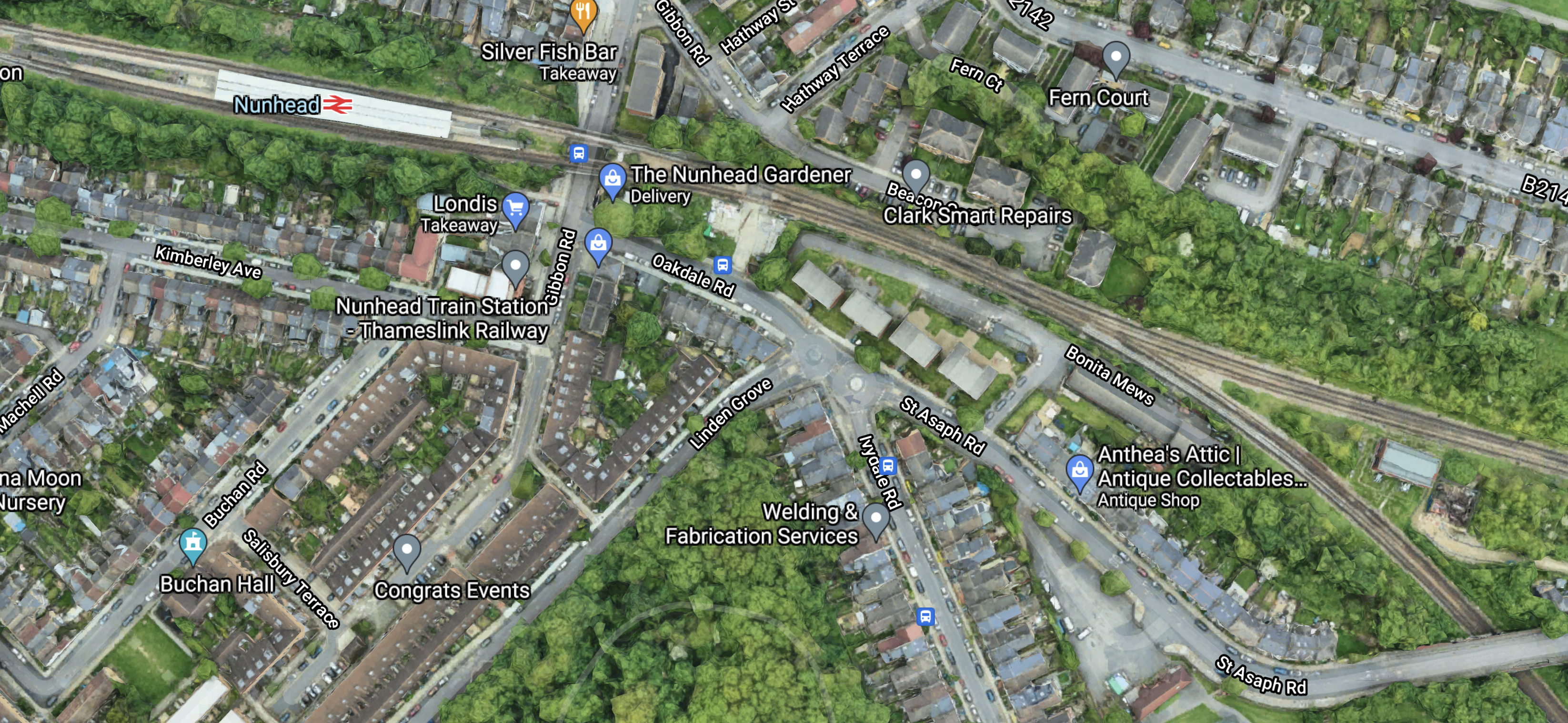
And this Google Map shows Nunhead station and the junction.
Note.
- Nunhead junction is towards the right of the map.
- The lines going to the East go to Lewisham.
- The lines going to the South East go to Crofton Park and Catford.
- I have counted the freight trains through Nunhead junction on real time trains and there can be as main as six trains per hour (tph), through the junction at times, using both Lewisham and Crofton Park routes.
But there would also appear to be plenty of space around the junction to realign the tracks.
As many trains need to go East from Lewisham and there are two flat junctions on the route; Nunhead and Lewisham, anything that improves keeping to schedule is to be welcomed.
The Use Of Electric Haulage
All routes through Nunhead junction have 750 VDC third-rail electrification, but I suspect all freight trains through the junction are diesel hauled.
Real time trains also shows that many of the trains through Nunhead junction also use the West London Line through Shepherd’s Bush.
In Decarbonisation Of London’s Freight Routes, I proposed a dual-voltage battery-electric locomotive to handle freight trains.
Perhaps more capable battery-electric freight locomotives with their better acceleration, are part of the solution at Nunhead junction.
Conclusion
This appears to be a well-thought out solution to one of the problems for freight trains in London.
I also believe that dual-voltage battery-electric locomotives could be part of the solution at Nunhead junction and would also help in many other places on the UK rail network.
Related Posts
These are related posts about the London Rail Freight Strategy (LRFS).
Decarbonisation Of London’s Freight Routes
East Coast Main Line South Bi-Directional Capability
Gauge Improvements Across London
Headway Reductions On The Gospel Oak To Barking, North London and West London Lines
Heavy Axle Weight Restrictions
Kensal Green Junction Improvement
Longhedge Junction Speed Increases
Moving The West London Line AC/DC Switchover To Kensington Olympia
Moving The West London Line AC/DC Switchover To Shepherd’s Bush
Stratford Regulating Point Extension
Stratford Regulating Point Extension
London has a rail capacity problem, for both freight and passenger trains.
This report from Network Rail is entitled The London Rail Freight Strategy (LRFS).
One of the secondary recommendations of the report is what Network Rail call the Stratford Regulating Point Extension.
The report explains it like this.
Capacity analysis for this study emphasised in its conclusions that the key to making the timetable work is the ability to hold trains in strategic locations in order to match capacity between the orbital lines and the radial routes in and out of London.
It therefore noted that holding capacity at Stratford for the longest freight trains (up to 775m) is essential, recommending that consideration is given to lengthening the Up Channelsea Loop at Lea Junction in particular.
The purpose of this scheme would be to provide a regulating point offering 775m standage for freight trains passing through Stratford towards the NLL, fully segregated from other traffic.
This would be achieved by extending the existing Up Channelsea Loop to the North-West, so that it can accommodate a 775m train clear of Stratford Central Junction.
This option offers combined capacity and train lengthening benefits, as the ability to regulate the longest trains at key interface points on the network increases the chances of finding them a compliant path through successive timetable structures as they pass from route to route.
Note.
- 775 metres is the longest train allowed on UK railways.
- Longer trains are an efficient way of moving freight and often mean less trains in total.
- It is extremely handy to have a place to park a train, to aid in keeping to the timetable.
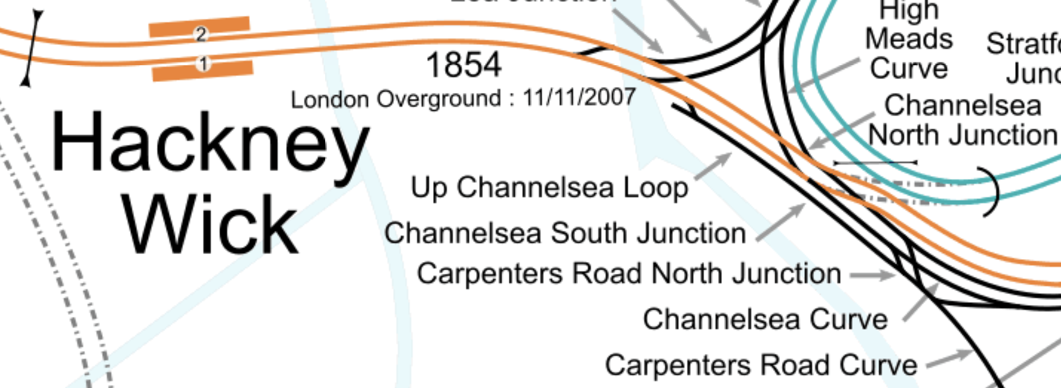
This map from cartometro.com shows the Eastern end of the North London Line and the Up Channelsea Loop.
Note.
- The orange tracks are the North London Line and are used by the London Overground and freight trains.
- The Up Channelsea Loop to the South-West of the North London Line.
- The Up Channelsea Loop has connections to both directions of the Great Eastern Main Line at its South-Eastern end.
- Carpenters Road North junction would appear to connect Liverpool Street station to the High Meads curve, so that empty stock can be moved to and from the sidings at Orient Way.
- I would expect that any train waiting in the Up Channelsea Loop can’t overhang Carpenters Road North junction, as this would block the empty stock movements between Liverpool Street and Orient Way sidings.
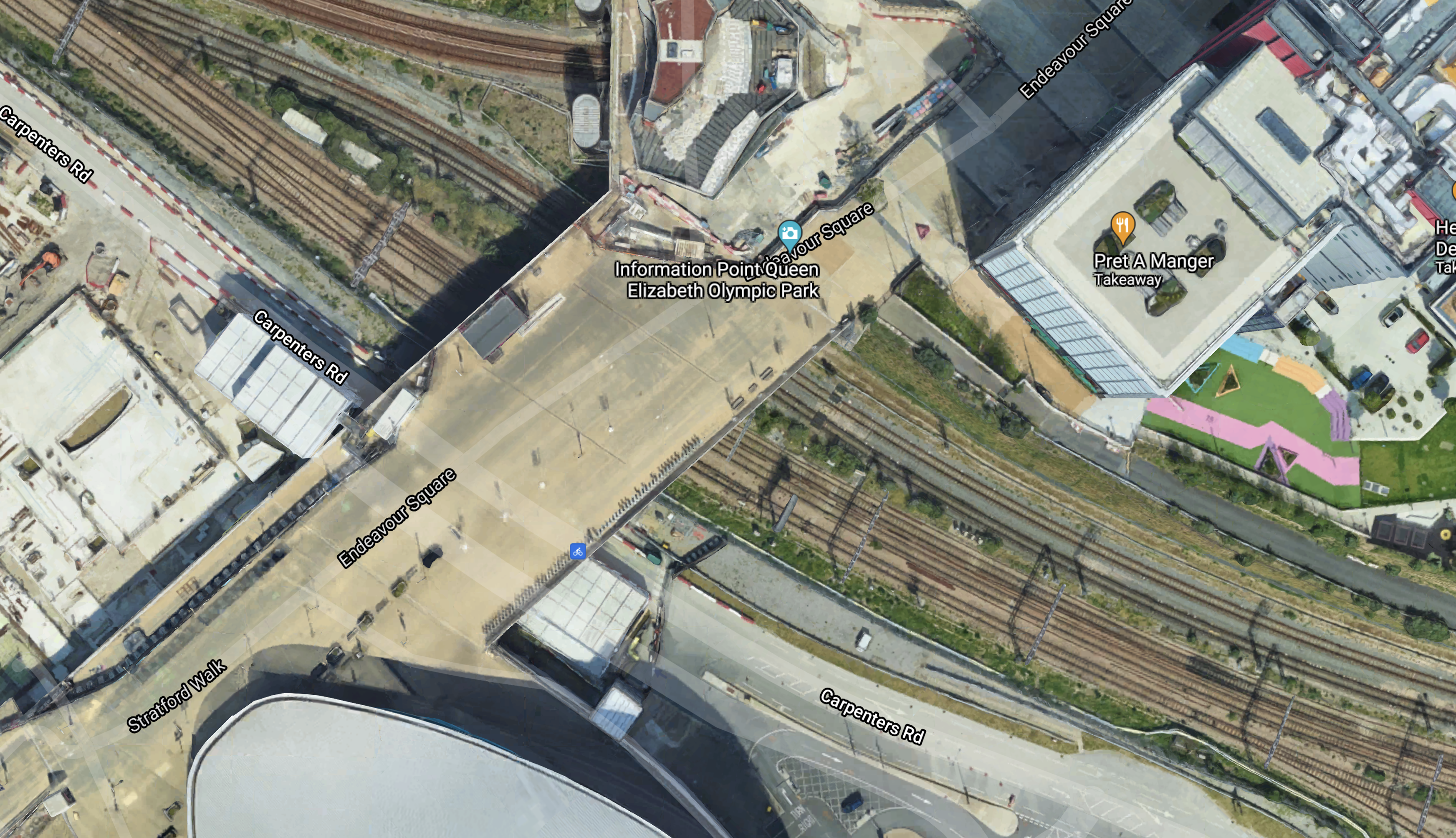
This Google Map shows the South-Eastern end of the Up Channelsea Loop.
Note.
- The bridge over the tracks is the main access to the Olympic Park.
- I have arranged that the Up Channelsea Loop runs between the North-West and South-East corners of the map.
- The two tracks to access the Up Channelsea Loop join in the South-East corner of the map.
- The crossover to the North of the bridge is part of Carpenters Road North junction.
I would estimate that freight trains waiting in the Up Channelsea Loop can’t be closer than about thirty metres from the bridge.
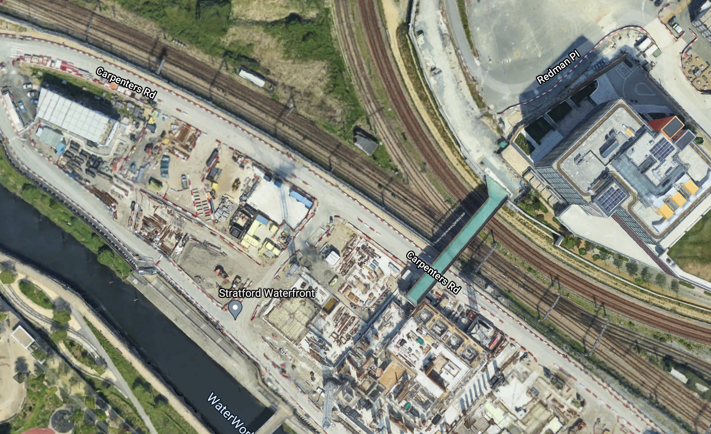
This second Google Map shows what I suspect is the usable section of the Up Channelsea Loop.
Note.
- I have arranged the North-Western corner of the map over the buffer stops at the end of the Up Channelsea Loop.
- The South-Eastern corner is at the lower limit of the Up Channelsea Loop.
- I estimate that the usable length of the current Up Channelsea Loop is six hundred metres at most.
This third Google Map shows the Northern end of the Up Channelsea Loop.
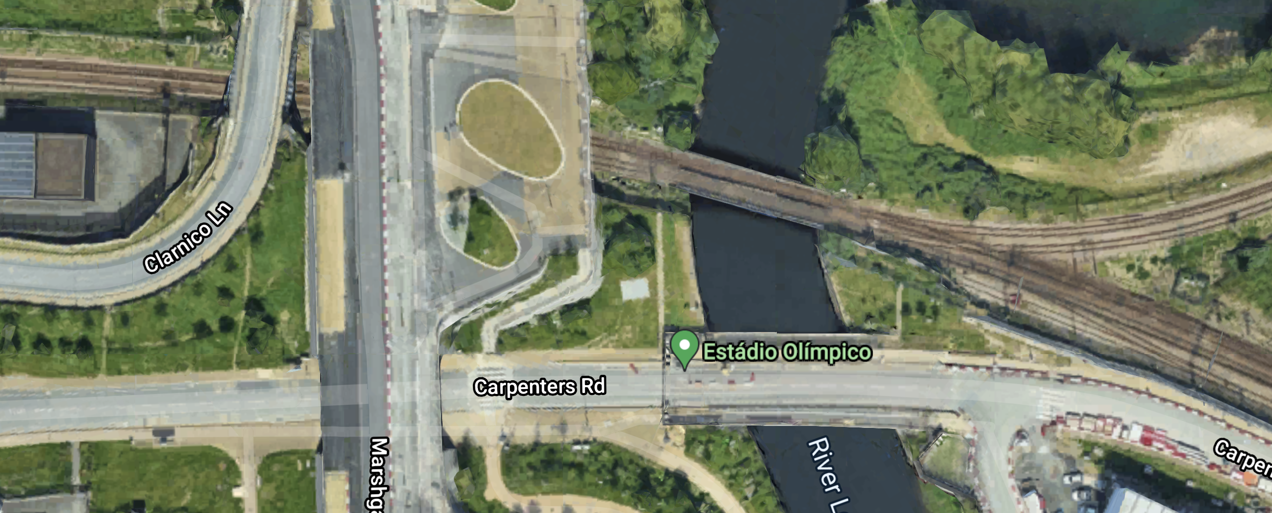
Note.
- The crossover so trains can leave the Up Channelsea Loop in the South-East corner of the map.
- There is a red buffer stop on the end of the loop.
I feel they will certainly have to bridge the River Lea, if the Up Channelsea Loop is going to be lengthened to the North-West.
Perhaps this fourth Google Map, that shows a 3D view of the area from the West.
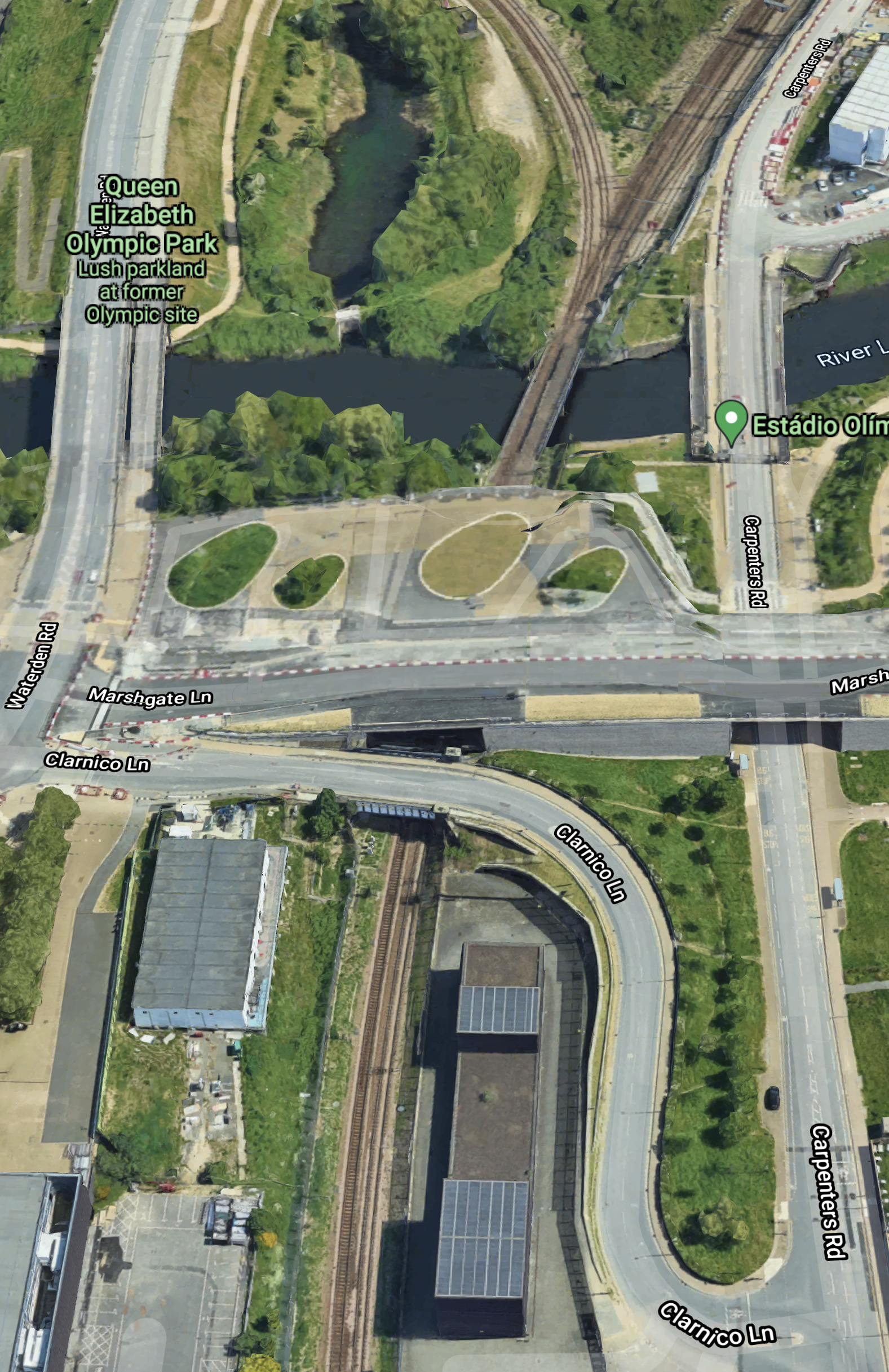
Note.
- Is there a tunnel under Marshgate Lane that can take three tracks.
- There could be space to extend the Up Channelsea Loop over the River Lea and alongside the long building, which is the Energy Centre for the site.
- There might even be a bit more space to create a fast exit from the Up Channelsea Loop.
If the Up Channelsea Loop is going to extend this far, then it looks like it has been planned for some time.
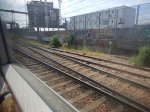
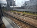
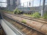
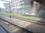
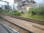
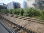
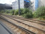
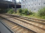
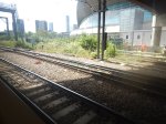
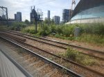
I took these pictures as I approached Stratford station.

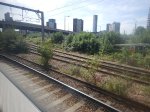
Note.
- The Up Channelsea Loop is the track furthest away to the right.
- The red buffer stop can be picked out.
- I started taking pictures alongside the Energy Centre.
- I think that the short tunnel between the Energy Centre and the River Leacan handle three tracks.
It looks to me, that provision was made for lengthening the Up Channelsea Loop, when these tracks were laid.
Conclusion
I think it is going to be a tight fit to extend the Up Channelsea Loop by sufficient length to handle the longest freight trains.
But it should be possible.
Related Posts
These are related posts about the London Rail Freight Strategy (LRFS).
Decarbonisation Of London’s Freight Routes
East Coast Main Line South Bi-Directional Capability
Gauge Improvements Across London
Headway Reductions On The Gospel Oak To Barking, North London and West London Lines
Heavy Axle Weight Restrictions
Kensal Green Junction Improvement
Longhedge Junction Speed Increases
Moving The West London Line AC/DC Switchover To Kensington Olympia
Moving The West London Line AC/DC Switchover To Shepherd’s Bush
Doubling Harlesden Junction
London has a rail capacity problem, for both freight and passenger trains.
This report from Network Rail is entitled The London Rail Freight Strategy (LRFS).
One of the secondary recommendations of the report is to double Harlesden Junction. It says this about the doubling.
At present, several Goods lines from the direction of Wembley Yard converge into a single lead through Harlesden Junction, the connection to the City lines, from which the North London Line is accessed. This represents a bottleneck where trains are unable to pass in each direction simultaneously. Conceptual design work for the LRFS has identified that the bridge span immediately above the junction, which the two West Coast Main Line Slow lines also pass under, formerly accommodated four tracks in total.
Because the City lines extend for a relatively short distance between Harlesden Junction and Kensal Green Junction, a speed increase at Harlesden Junction is necessary in order to align with the uplifted speeds proposed for Kensal Green Junction (see Core Interventions). Upgrading Harlesden Junction is therefore required in order to realise the benefits of the core intervention at Kensal Green Junction. Doubling the junction would further ease the flow of freight trains through this critical connection between the West Coast Main Line and the orbital routes.
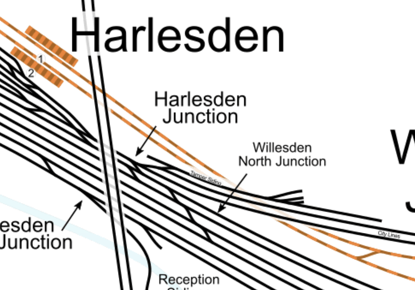
This map from cartometro.com shows Harlesden Junction.
This Google map shows the area.
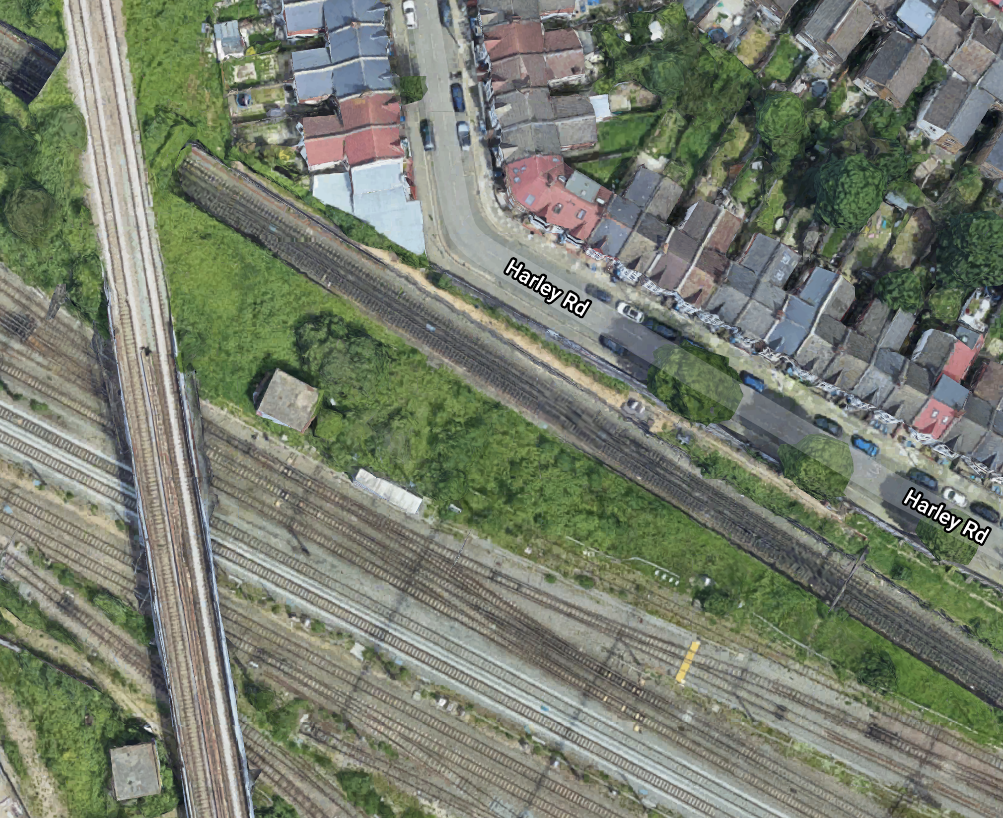
Note.
- The six tracks across the bottom of both maps are the West Coast Main Line.
- The double track rail line going North-South over the West Coast Main Line is the Dudding Hill Line.
- The Northernmost tracks, that go East-West under the Dudding Hill Lines are the combined Watford DC and Bakerloo Lines, which explains their colour in the first map.
- South of these tracks are the City Lines and Harlesden Junction, which connects it to the West Coast Main Line.
This 3D image shows the Harlesden Junction with the Dudding Hill Line over the top, looking from the South-East.
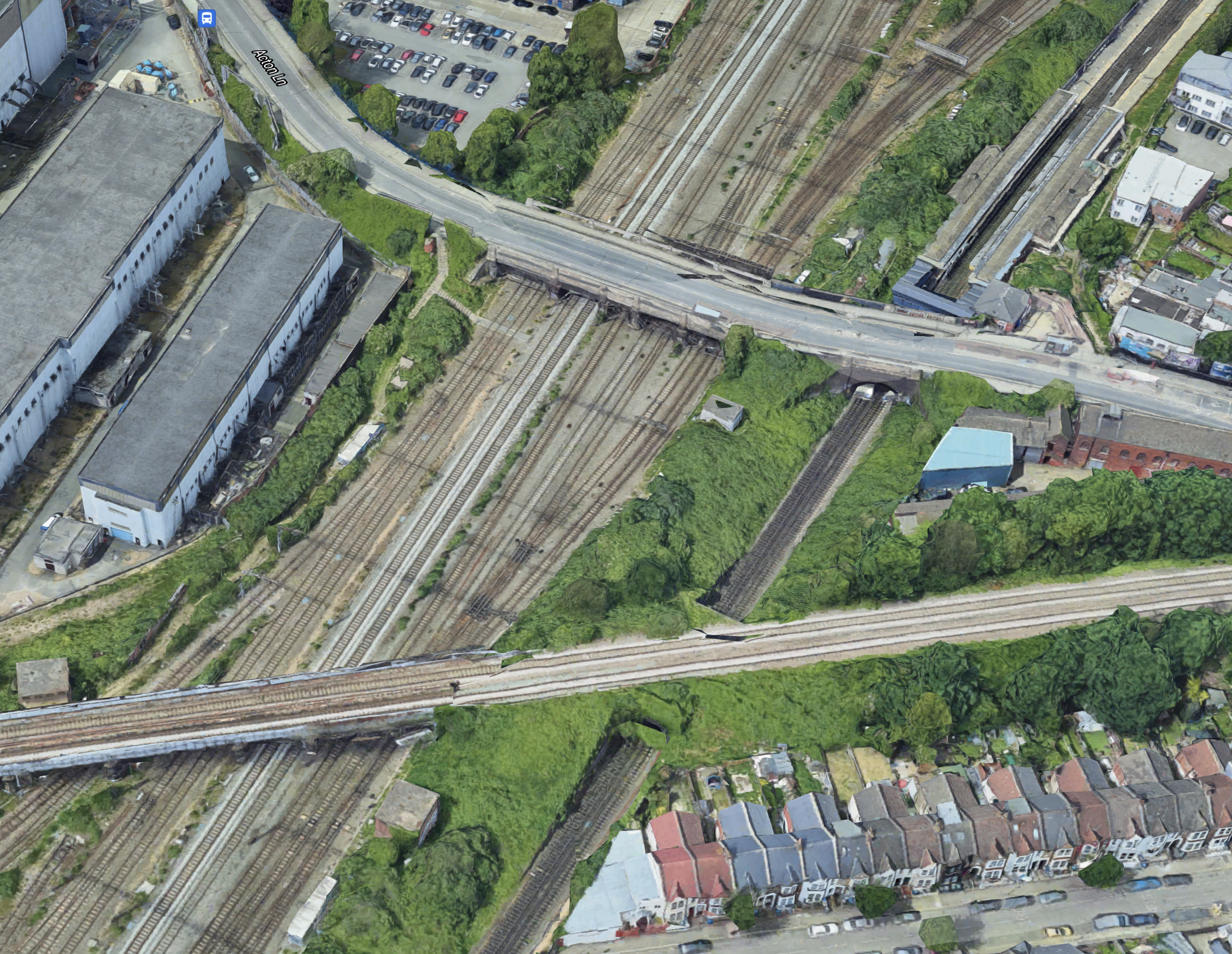
Note that Harlesden station can be seen in the North-East of the map.
There is certainly space in the area to improve the junction.
Conclusion
It strikes me that if you improve Kensal Green Junction, then doubling of Harlesden Junction is needed, to make the most of the investment at Kensal Green.
Related Posts
These are related posts about the London Rail Freight Strategy (LRFS).
Decarbonisation Of London’s Freight Routes
East Coast Main Line South Bi-Directional Capability
Gauge Improvements Across London
Headway Reductions On The Gospel Oak To Barking, North London and West London Lines
Heavy Axle Weight Restrictions
Kensal Green Junction Improvement
Longhedge Junction Speed Increases
Moving The West London Line AC/DC Switchover To Kensington Olympia
Moving The West London Line AC/DC Switchover To Shepherd’s Bush
Stratford Regulating Point Extension
Moving The West London Line AC/DC Switchover To Kensington Olympia
London has a rail capacity problem, for both freight and passenger trains.
This report from Network Rail is entitled The London Rail Freight Strategy (LRFS).
One of the secondary recommendations of the report is to move the switchover between AC and DC power on the West London Line to Kensington Olympia station. It says this about the switchover.
Although moving the changeover to Shepherd’s Bush would eliminate the need for passenger trains to slow down or stop at North Pole Junction, electrically hauled freight trains will still need to switch power supply modes whilst moving, wherever the AC/DC interface is located.
Due to the substantial incline facing trains running northward on the WLL, which increases in severity towards the Willesden end of the route, it would be preferable for the changeover to be made as far south as possible. This would enable freight trains to slow down to switch traction before reaching the worst of the gradient, giving them a much better chance of regaining line speed once drawing power from the OLE.
Although Kensington Olympia is less than a mile to the south of Shepherd’s Bush, the intervening route section is almost entirely level, with the incline commencing just before Shepherd’s Bush station and continuing to rise sharply along the rest of the WLL. The capacity and performance benefits of relocating the changeover are therefore likely to be greater if the overhead wires are extended to Kensington Olympia, removing the risk to traffic flow that would remain if freight trains were forced to switch whilst running uphill.
This would prepare the West London Line for the transition to electric freight that will be necessary as part of the decarbonisation of the railway over the next thirty years.
Resolving the current traction changeover issues for freight as well as passenger trains would support this transition by encouraging freight operators to invest in electric locomotives to run on the orbital routes, in the confidence that this constraint has been addressed.
I covered this recommendation in Moving The West London Line AC/DC Switchover To Shepherd’s Bush, as so many arguments are the same about the two stations.
This was my conclusion in the related post.
I believe, as probably do Network Rail, that Kensington Olympia station should be the station, where the switchover occurs.
I did add a caveat, that it is probably all down to money.
Related Posts
These are related posts about the London Rail Freight Strategy (LRFS).
Decarbonisation Of London’s Freight Routes
East Coast Main Line South Bi-Directional Capability
Gauge Improvements Across London
Headway Reductions On The Gospel Oak To Barking, North London and West London Lines
Heavy Axle Weight Restrictions
Kensal Green Junction Improvement
Longhedge Junction Speed Increases
Moving The West London Line AC/DC Switchover To Shepherd’s Bush
Stratford Regulating Point Extension
Moving The West London Line AC/DC Switchover To Shepherd’s Bush
London has a rail capacity problem, for both freight and passenger trains.
This report from Network Rail is entitled The London Rail Freight Strategy (LRFS).
One of the recommendations of the report is to move the switchover between AC and DC power on the West London Line to Shepherd’s Bush station. It says this about the switchover.
Extension of the overhead wires further along the WLL, to provide AC electrification as far south as Shepherd’s Bush station.
Two passenger train services run along the West London Line.
- Four tph – London Overground – Clapham Junction and Stratford
- One tph – Southern – Clapham Junction and Milton Keynes
Note.
- tph is trains per hour.
- London Overground would like to increase their service to six tph.
- All trains stop at Shepherd’s Bush station.
The West London Line (WLL) runs between Willesden Junction station in the North and Clapham Junction station in the South.
These are the stations and their electrification status.
- Willesden Junction – 25 KVAC Overhead Electrification
- Shepherd’s Bush – 750 VDC Third-Rail Electrification
- Kensington Olympia – 750 VDC Third-Rail Electrification
- West Brompton – 750 VDC Third-Rail Electrification
- Imperial Wharf – 750 VDC Third-Rail Electrification
The switchover is performed North of Shepherd’s Bush station with the train moving.
These pictures show the electrification to the North of Shepherd’s Bush station.
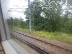
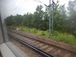
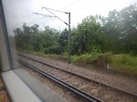
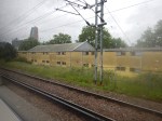
This double-electrification allows switchover, whilst the trains are moving.
This is said in the Network Rail document about moving the West London Line AC/DC switchover to Shepherd’s Bush station.
Extending the Overhead Line Equipment south to Shepherd’s Bush would enable passenger trains to change traction source whilst making their scheduled station stop.
A slight extension to dwell times at Shepherd’s Bush may be required, but the elimination of the need to slow down or, especially, to stop, as is the case for GTR trains, at North Pole Junction would release a significant amount of capacity.
Recent work carried out on behalf of Transport for London calculated that the relocation of the changeover to the Shepherd’s Bush could provide an indicative net saving of 7 minutes per hour, which is equivalent to an additional path and some additional time for timetable flexibility.
The LRFS capacity analysis concluded that this intervention could potentially release up to two additional timetable paths an hour in each direction.
Moreover, the analysis advised that eliminating the need for GTR services to stop to change traction at North Pole Junction would be of significant performance benefit even today.
This sounds to me like this us a good solution, that will give winners all round.
- I went North yesterday on a GTR (Southern) service and can confirm, the stop to switch voltage at North Pole junction.
- Extra paths are always good news.
- I have a feeling that the overhead electrification on the route isn’t the best, so Network Rail may even have to replace it anyway.
What I like about the proposal, is that if the switchover point is moved to Shepherd’s Bush station and in the very rare occurence of a switchover failure, the passengers can be easily evacuated from the train as it will most likely be in Shepherd’s Bush station, rather than in the industrial wastelands of West London.
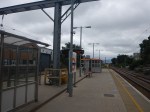
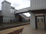
These pictures show Shepherd’s Bush station.
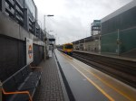
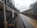
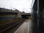
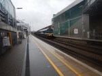
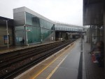
Note.
- It looks like the bridges have been built high enough for overhead electrification.
- The platforms appear to be able to handle long trains.
- Putting up overhead gantries doesn’t look to be the most challenging of tasks.
I don’t think, that the engineering needed will be difficult and because of the gains outlined in the report, this project should be performed as soon as possible.
Should The AC/DC Switchover Be At Kensington Olympia Station?
The Network Rail document also muses about performing the AC/DC switchover at Kensington Olympia station.
This is said.
Although moving the changeover to Shepherd’s Bush would eliminate the need for passenger trains to slow down or stop at North Pole Junction, electrically hauled freight trains will still need to switch power supply modes whilst moving, wherever the AC/DC interface is located.
Due to the substantial incline facing trains running northward on the WLL, which increases in severity towards the Willesden end of the route, it would be preferable for the changeover to be made as far south as possible. This would enable freight trains to slow down to switch traction before reaching the worst of the gradient, giving them a much better chance of regaining line speed once drawing power from the OLE.
Although Kensington Olympia is less than a mile to the south of Shepherd’s Bush, the intervening route section is almost entirely level, with the incline commencing just before Shepherd’s Bush station and continuing to rise sharply along the rest of the WLL. The capacity and performance benefits of relocating the changeover are therefore likely to be greater if the overhead wires are extended to Kensington Olympia, removing the risk to traffic flow that would remain if freight trains were forced to switch whilst running uphill.
This would prepare the West London Line for the transition to electric freight that will be necessary as part of the decarbonisation of the railway over the next thirty years.
Resolving the current traction changeover issues for freight as well as passenger trains would support this transition by encouraging freight operators to invest in electric locomotives to run on the orbital routes, in the confidence that this constraint has been addressed.
Network Rail seem to have made a very strong case for switching between AC and DC power at Kensington Olympia station.
These Google Map shows Kensington Olympia station.
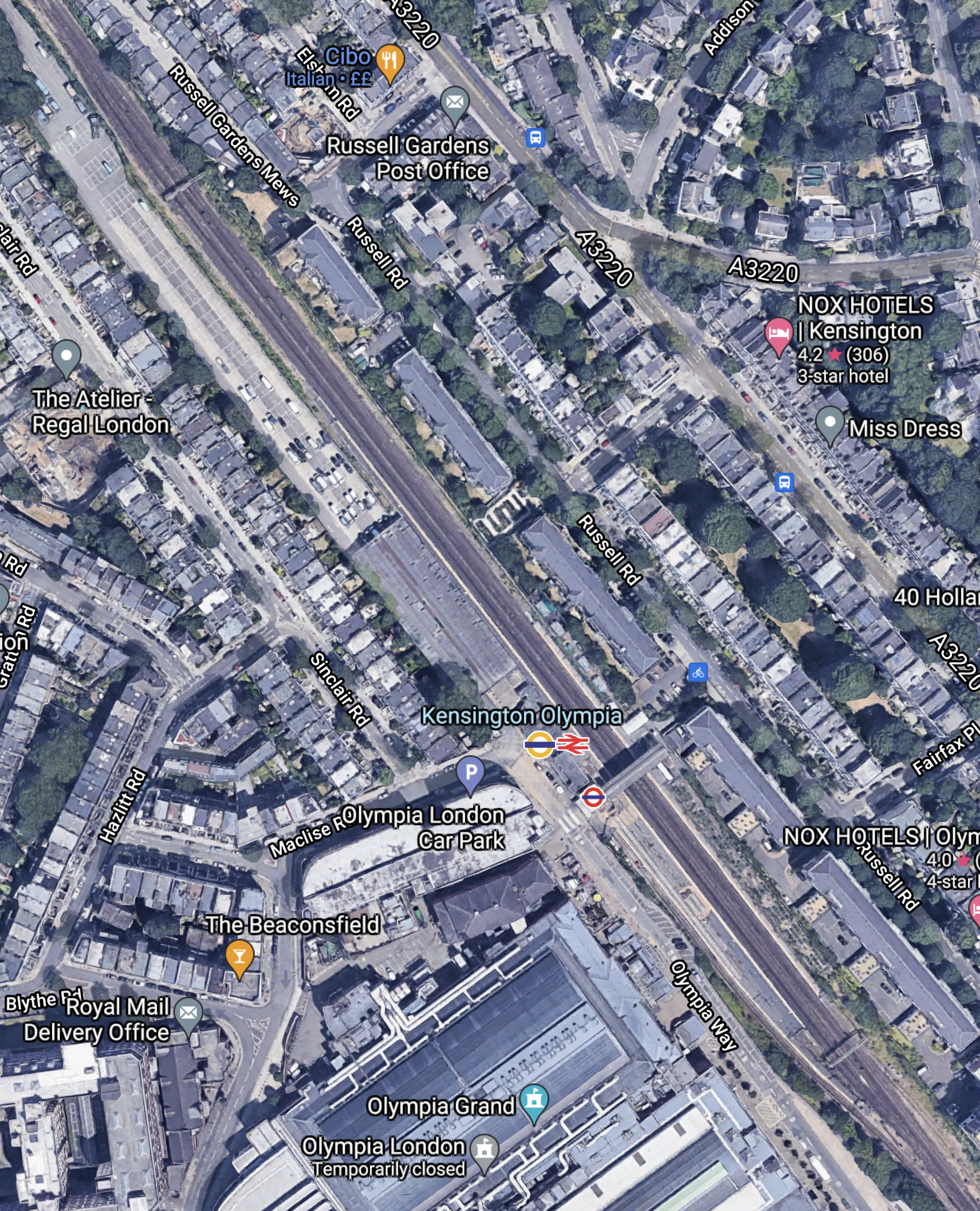
And these pictures show the station on a very wet day.
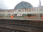
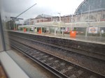
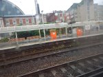
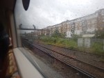
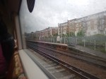
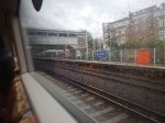
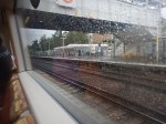
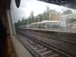
It doesn’t appear that there would be too many problems in electrifying Kensington Olympia station.
The only problem, may be the bridge at Addison Gardens to the North of Kensington Olympia station.
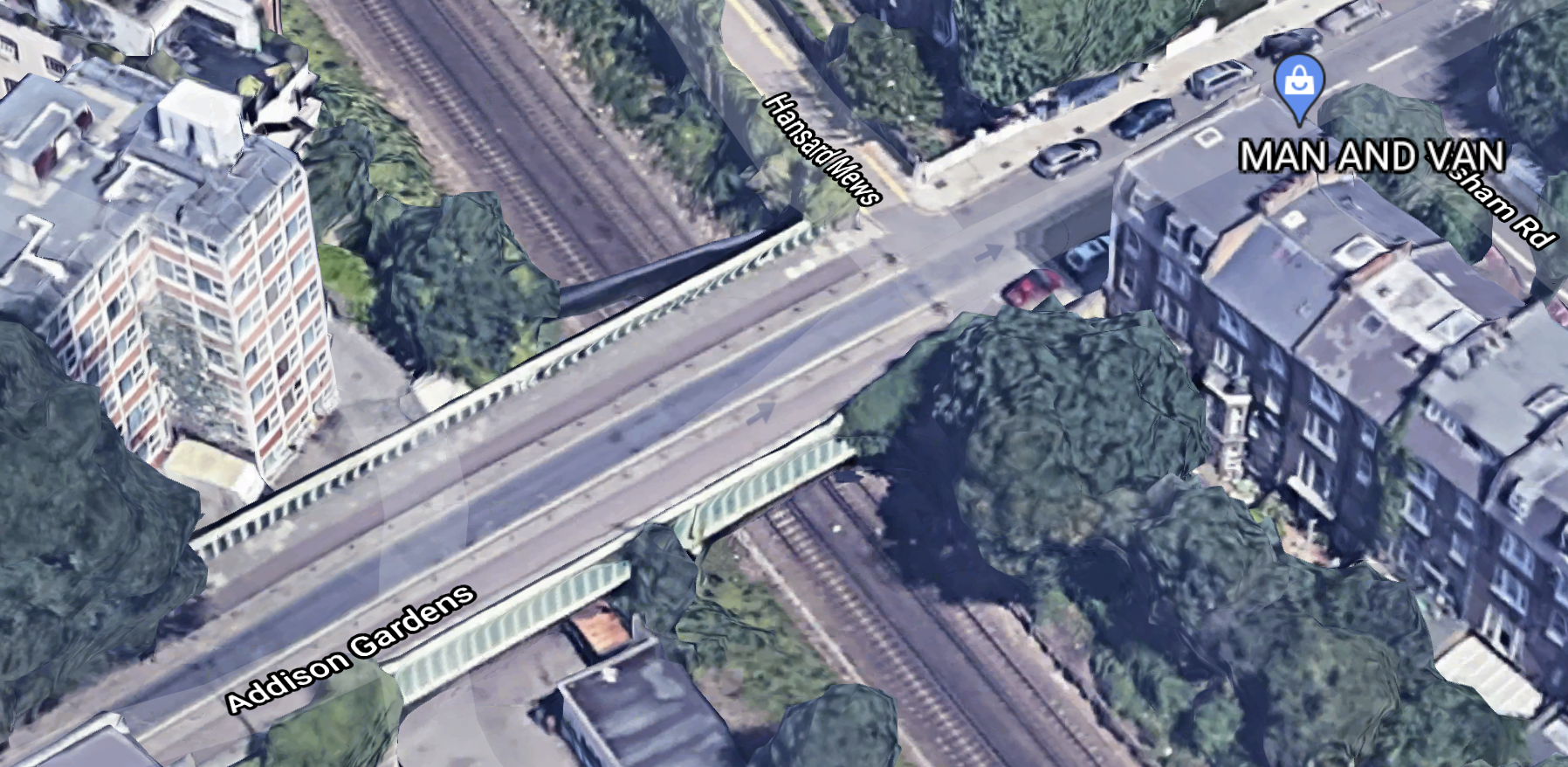
Although, Network Rail have an extensive range of tricks to get the wires through.
Conclusion
I believe, as probably do Network Rail, that Kensington Olympia station should be the station, where the switchover occurs.
But it’s all down to money.
It does seem to me, that the London Rail Freight Strategy is the first serious attempt to work out, the possible freight and passenger uses of the West London Line, which is one of those rail lines that has been designed by Topsy and accidents of history.
How many other rail routes in the UK, would be improved by a similar analysis?
Related Posts
These are related posts about the London Rail Freight Strategy (LRFS).
Decarbonisation Of London’s Freight Routes
East Coast Main Line South Bi-Directional Capability
Gauge Improvements Across London
Headway Reductions On The Gospel Oak To Barking, North London and West London Lines
Heavy Axle Weight Restrictions
Kensal Green Junction Improvement
Longhedge Junction Speed Increases
Moving The West London Line AC/DC Switchover To Kensington Olympia
Stratford Regulating Point Extension
Will Camden Road Station Get A Third Platform?
Will Clapham Junction Station Get A Platform 0?
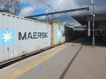
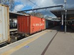
A Very Long Freight Train At Camden Road Station
I took these pictures as a very long freight train passed through Camden Road station.
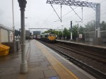
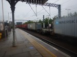
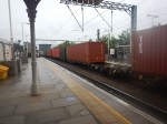
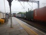
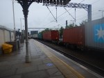
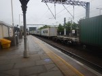
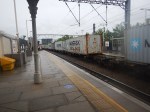
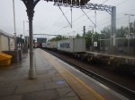
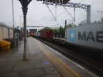
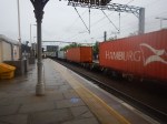
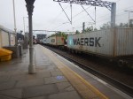
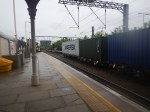
Note.
- I estimate the train had 45 positions for containers.
- Fourteen or fifteen were not filled.
- I suspect the train started in Wentloog in South Wales and was going to the Port of Felixstowe.
- That route is fully electrified from Wentloog to Ipswich.
- The journey took over eight hours.
This could be a route, where an innovative Class 93 locomotive could be able to handle the freight train all the way across England and half of Wales.
- Most of the way, the locomotive would be using the electrification.
- The short distance at Wentloog and the fifteen miles at Felixstowe would be handled by the onboard diesel engine and the substantial battery.
These will be world-class zero-carbon freight trains, just by changing the motive power.
Kensal Green Junction Improvement
London has a rail capacity problem, for both freight and passenger trains.
This report from Network Rail is entitled The London Rail Freight Strategy (LRFS).
One of the recommendations of the report is to improve Kensal Green junction. It says this about the improvements.
Upgrade of the junction, moving it slightly to the east and realigning the layout, to facilitate faster crossing speeds sufficient for a 3-minute planning margin.
This map from cartometro.com shows the track layout between Harlesden in the West to Kensal Rise station in the East.
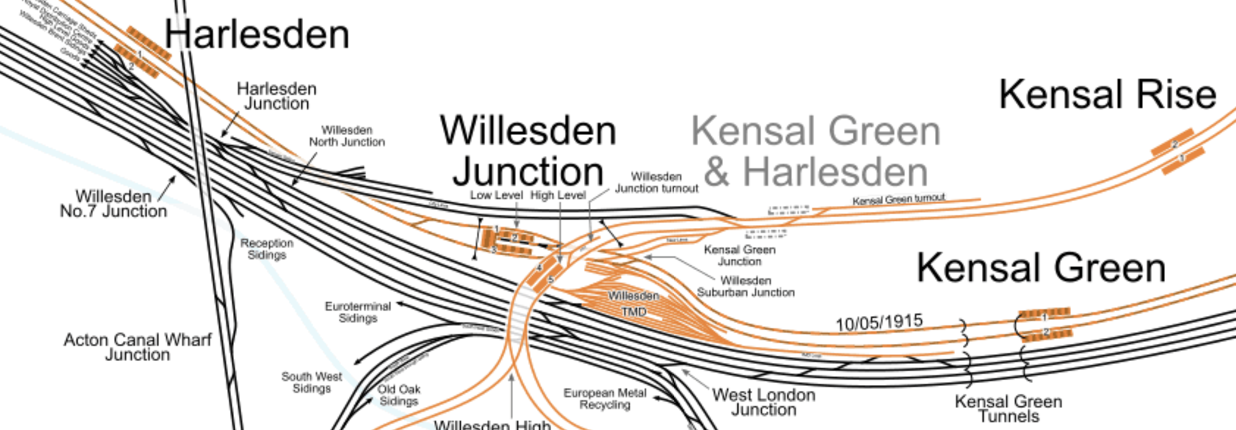
Note.
- Harlesden, Willesden Junction Low Level and Kensal Green stations are on the shared tracks of the Bakerloo and Watford DC Lines.
- Willesden Junction High Level and Kensal Rise are stations on the North London Line.
- Kensal Green & Harlesden is a former station on the North London Line, which is shown on the map as dotted platforms.
- Kensal Green Junction is to the West of Willesden Junction High Level station.
- The City Lines, which are shown in black connect the North London Line to the West coast Main Line and the important freight yards at Wembley.
- The black tracks at the bottom of the map are the West Coast Main Line.
This Google Map shows Kensal Green Junction.
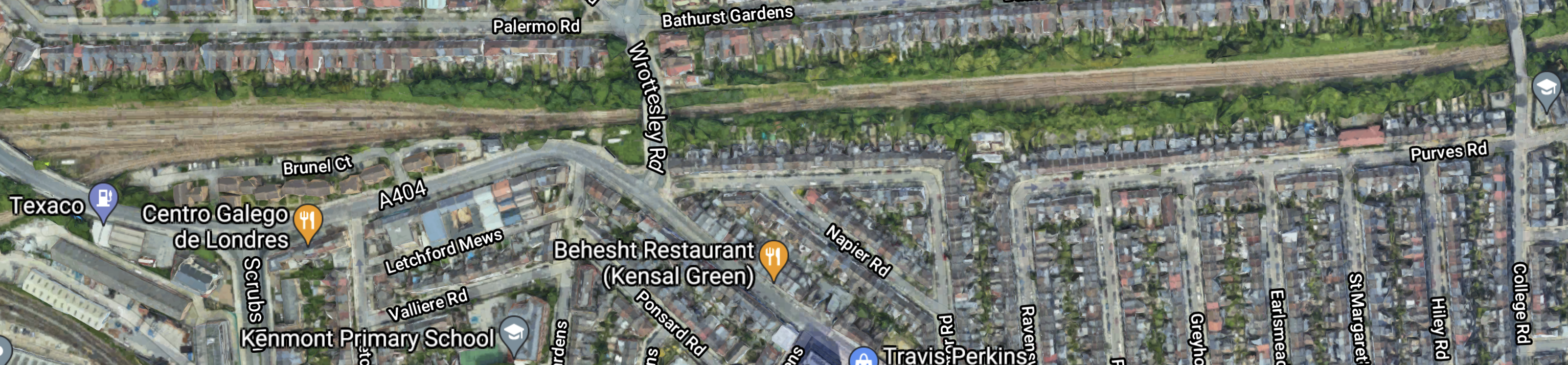
Note.
- The railway is the sandy scar across the top of the map.
- The Kensal Green Turnout is in the North-East section of the map.
- The Kensal Green Junction and the City Lines are in the North-West corner of the map.
- The road over the railway in the middle of the map is Wrottesley Road.
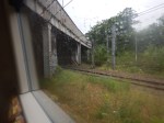
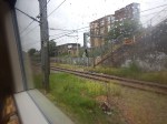
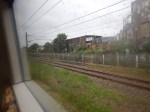
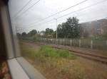
These pictures show the Kensal Green Turnout.
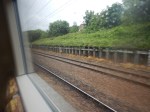
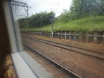
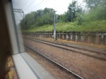
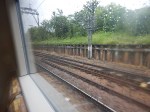
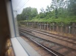

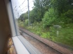
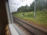
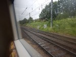
And these show Kensal Green Junction and the City Lines.
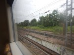
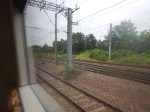
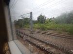
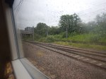
Note.
- The railway has generous margins.
- The City Lines are electrified.
- The North London Line is electrified.
- The Kensal Green junction appears to be fully electrified.
- All electrification is 25 KVAC overhead.
There would be plenty of space to install a modern efficient junction.
This is said in the Network Rail document about the improvement to Kensal Green Junction.
Kensal Green Junction, just to the northeast of Willesden Junction High Level station on the North London Line, is a key location for the functioning of the orbital routes.
It connects the North London Line to the West Coast Main Line and Wembley Yard, a vital link for cross-London intermodal flows.
Westbound freight trains must cross over the flat junction to access the City lines towards the West Coast Main Line, a conflicting move with any eastbound London Overground or freight services from Willesden Junction High Level. Ensuring these moves can take place as quickly and as smoothly as possible is essential to the efficient use of capacity on the North London Line.
The proposed enhancement would upgrade the junction, moving it slightly to the east and realigning the layout, to facilitate faster crossing speeds.
Currently trains from the City lines (in the eastbound direction) are limited to 10 mph over Kensal Green Junction, while trains towards the City lines (in the westbound direction) are limited to 15 mph.
This scheme would increase speeds through the junction so that trains can safely cross it a
minimum of 3 minutes after a conflicting movement – they currently have to wait at least 4 minutes.Although this is a relatively minor scheme, it could have a significant positive impact on both capacity and performance in the area.
I find the last paragraph very important. So does this improvement scheme offer good value to money?
Could The Junction Be Used By Passenger Trains?
Consider.
- Nothing is mentioned about passenger trains.
- Electric passenger trains are nippier because of better acceleration.
- No scheduled services appear to use the City Lines
- But I did find an empty stock movement from Wembley Sidings to Gospel Oak.
If the junction could be improved would there be any reason to run passenger trains through the junction?
Suppose, High Speed Two, during the rebuilding of Euston station, decided to stop the Watford DC Line services from using Euston station.
If the Class 710 trains of the London Overground could terminate at say Camden Road station, this would give passengers on the Northern part of the Watford DC Line another route to Central London by changing at West Hampstead station for Thameslink or the Jubilee Line or Camden Road station for the Northern Line by walking between the two Camden stations.
I would expect there may need to be some extra crossovers, so that trains from the Watford DC Lines could access the City Lines to get to and from Kensal Green junction.
In Will Camden Road Station Get a Third Platform?, I outlined how Camden Road station could get a third platform, as is also proposed in the LRFS.
But suppose though the existing Platform 2 at Camden Road station were to be diverted into two platforms.
- A Platform 2 East handling services to and from the East.
- A Platform 2 West handling services to and from the West.
That would do nicely.
Conclusion
Improving Kensal Green Junction may improve passenger services, especially if High Speed Two work at Euston means the Watford DC services have to be suspended.
Related Posts
These are related posts about the London Rail Freight Strategy (LRFS).
Decarbonisation Of London’s Freight Routes
East Coast Main Line South Bi-Directional Capability
Gauge Improvements Across London
Headway Reductions On The Gospel Oak To Barking, North London and West London Lines
Heavy Axle Weight Restrictions
Longhedge Junction Speed Increases
Moving The West London Line AC/DC Switchover To Kensington Olympia
Moving The West London Line AC/DC Switchover To Shepherd’s Bush
Stratford Regulating Point Extension
Is Caledonian Road And Barnsbury An Ideal Four-Track Station?
This Google Map shows Caledonian Road And Barnsbury station.
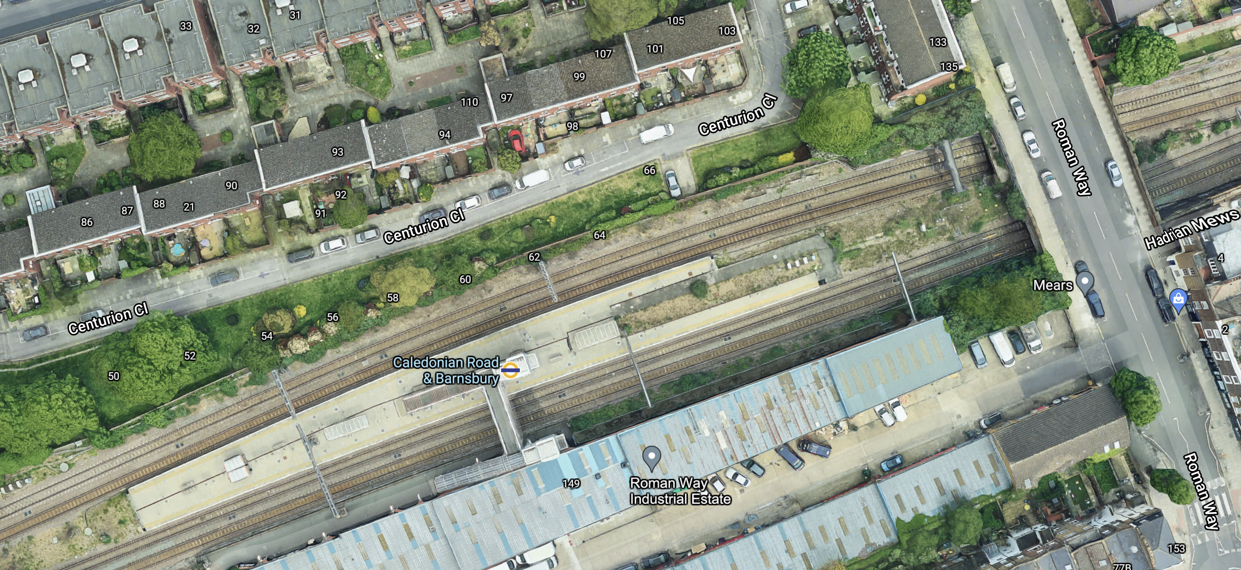
Note the island platform, with two tracks on either side.
These four pictures show each pair of tracks in both directions.
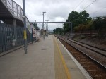


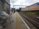
And these pictures show general views of the station.


I don’t know the layout of every station, but Caledonian Road And Barnsbury seems to be unusual.
- There is a spacious island platform in the middle of the four tracks.
- On either side of the island platform, there are the two lines for local passenger trains.
- Outside of the two local passenger lines, there are two lines for freight trains.
- Access to the island platform is via a simple half-bridge with only two lifts.
- Everybody enters the station from one side.
Does this layout have advantages?
Ease Of Construction
I think that this station was designed, so that it was quick and easy to build.
Once the tracks are aligned correctly, it shouldn’t be too complicated to build.
The bridge only has to span two tracks, so that must be half the work of crossing four tracks.
Passenger Safety
I have used real time trains to check the platform of freight trains passing through Caledonian Road And Barnsbury station.
It seems that only rarely do trains use the tracks in the two platforms.
This must surely be safer, when compared with the standard arrangement.
These pictures were taken at Highbury & Islington station.
The wide platform, also allows passengers to keep well out of the way of any trains that do pass through.
Would The Layout Work With High Speed Trains?
I don’t see why not!
The space between the outside lines and the platform, almost acts like a moat in a zoo, that keeps visitors away from dangerous animals.
Costs
It was probably not an expensive station to build.
Conclusion
Why are other four-track stations not built like this?
The main reason is probably, that most four-track main lines were laid out decades or even centuries ago and their builders used their own layouts.
Will Camden Road Station Get A Third Platform?
London has a rail capacity problem, for both freight and passenger trains.
This report from Network Rail is entitled The London Rail Freight Strategy (LRFS).
One of the recommendations of the report is to build a third platform at Camden Road station. It says this about the third platform.
Reinstatement of a third track and platform on the northern side of Camden Road station, utilising part of
the former 4-track formation through the station.
Camden Road station used to have four platforms, but now it just have two.
This Google Map shows the station as it is today.
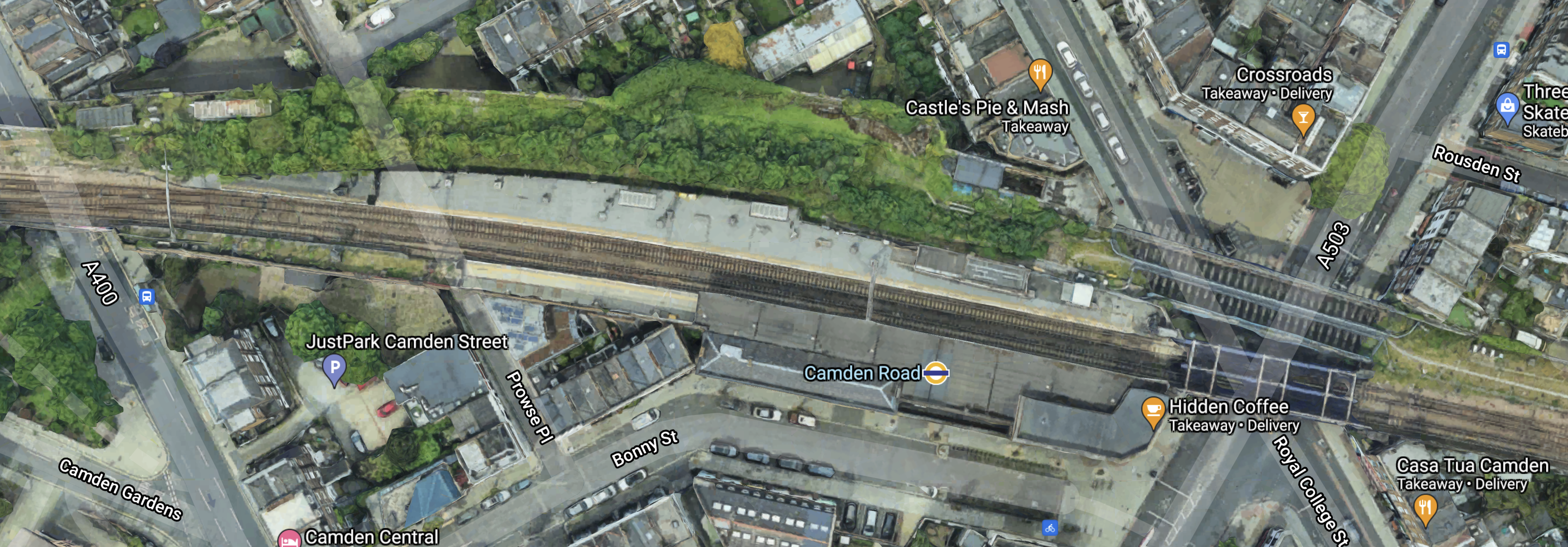
Note.
- Platform 1 is on the South side of the tracks with the London Overground roundel conveniently shown on the roof.
- Platform 2 is on the North side of the tracks.
- Regular users of the station can probably pick out the lift at the Eastern end of Platform 2.
- There is a bridge to the East of the station which takes the tracks over the junction of Royal College Street and Camden Road.
To the North of this bridge, two further bridges can be seen, that used to take the former third and fourth tracks over the roads and into two additional platforms to the North of the current two.
This map from cartometro.com shows the track layout through Camden Road station.
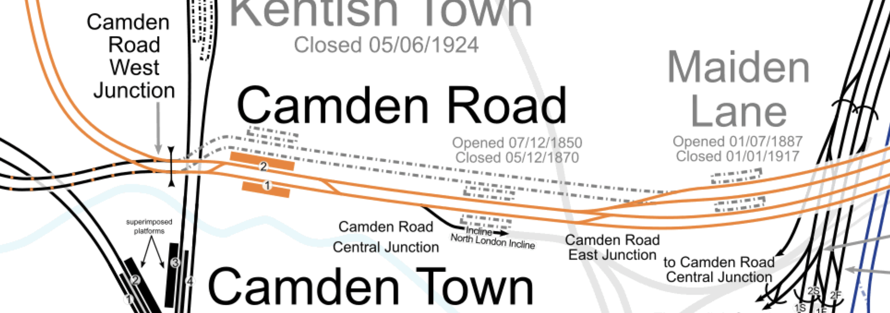
Note.
- The tracks shown in orange are the route of the North London Line of the London Overground.
- The two orange platforms labelled 1 and 2 at Camden Road station.
- The two former lines passing behind Platform 2, used to rejoin the North London Line to the West of the station.
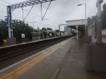
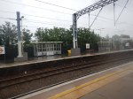
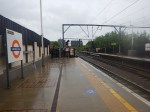
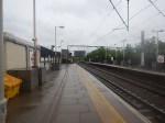
These pictures were taken on the current Platform 2.
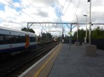
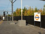
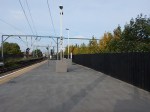
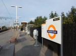
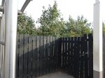
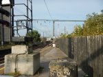
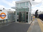
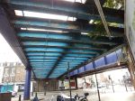
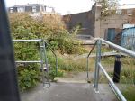
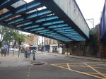
And these are some pictures of the bridge, what is behind the fence and other bridges.

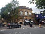
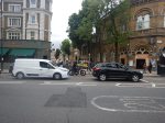
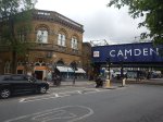
Note.
- Most of the pictures of Platform 2, were taken from Platform 1.
- Behind the fence on Platform 2, there appears to be a substantial urban forest.
- Renewing the bridges and updating the railway arches could improve the area significantly.
- Camden Road station is a Grade II Listed building.
I don’t think, that any of the construction would be too challenging.
How Would The Third Platform Be Used?
This is said in the Network Rail document about the third platform at Camden Road station.
This proposal would reinstate a third track and platform on the northern side of Camden Road station, utilising part of the former 4-track formation through the station.
The additional capacity provided would facilitate much greater flexibility in pathing options for trains on this busy central section of the NLL, opening up new options for future service provision and bolstering performance resilience.
Reinstatement of a third platform would enable platform 2 to be used as a central turnback, with platform 3 becoming the eastbound line for through London Overground services and the majority of freight.
Transport for London modelling suggests that the eastern end of the NLL, from Canonbury to Stratford, will see some of the strongest long-term demand growth on the Overground network.
A turnback platform will allow this to be addressed with peak capacity boosting services between Stratford and Camden Road and there would also be the option to operate these through the off-peak, which could offer a means of providing additional passenger capacity where it is most needed.
The availability of an additional platform would also aid performance recovery during perturbation on
the orbital routes.
That all looks fairly sensible and wouldn’t require much work to the current station.
Note.
- Platform 2 is currently a fully-accessible platform with a lift and will become a spacious fully-accessible island platform with two faces 2 and 3, both serving London Overground services going East.
- There must surely be space on the island platform to build a substantial shelter, where passengers can sit, when long freight trains are passing through.
- There could even be space for a coffee kiosk.
The former Platform 3 appeared to be a Westbound platform, but the proposed new one appears to be an Eastbound one.
The Track Layout Immediately To The East Of Camden Road Station
These are my thoughts on the track layout to the East of Camden Road station.
This map from cartometro.com shows the track layout between Camden Road and Highbury & Islington stations.
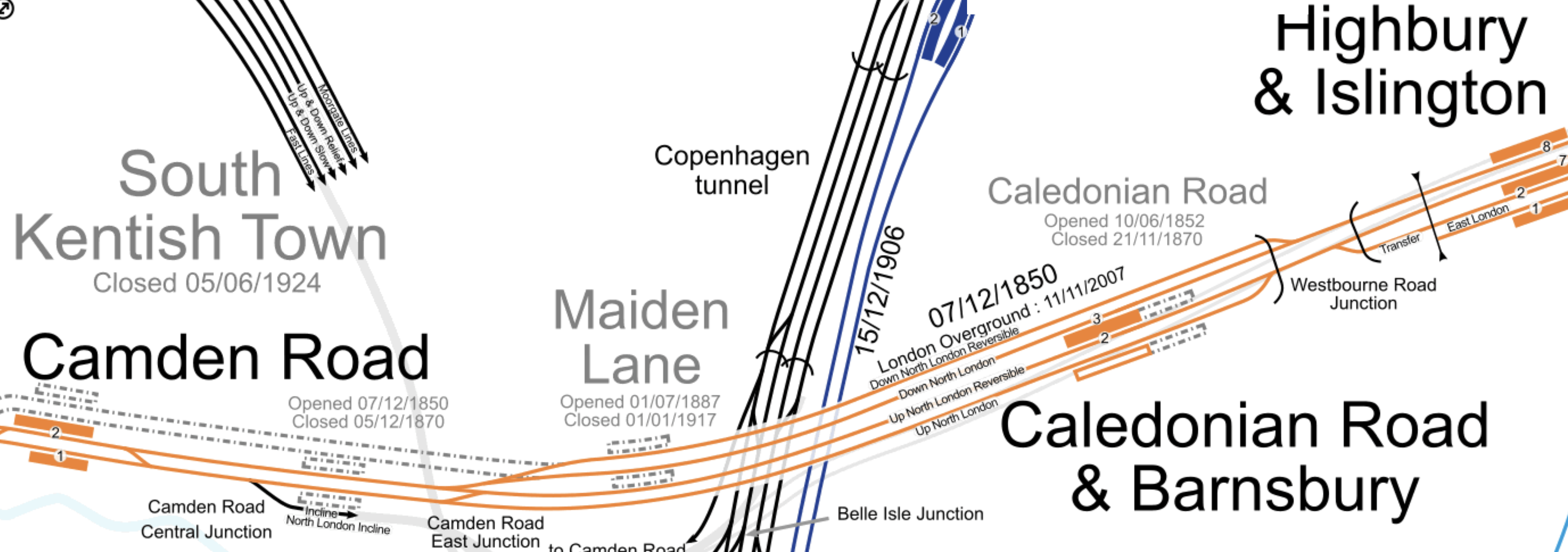
Much of the route through Caledonian Road and Barnsbury station is four tracks. These tracks are named from North to South as follows.
- Down North London Reversible
- Down North London
- Up North London Reversible
- Up North London
Note.
- Eastbound London Overground services use the Down North London track.
- Eastbound freight services use the Down North London Reversible track.
- Eastbound freight services are sometimes held by signallers on the Down North London Reversible track.
- Westbound London Overground services use the Up North London Reversible track, before crossing over to the Up North London track at Camden Road East Junction.
- London Overground services only use the central island platform at Caledonian Road and Barnsbury station.
- Westbound freight services use both of the Up North London tracks.
- The London Borough of Camden have stated that they would like to see the reopening of Maiden Lane station.
These pictures show the former trackbed between the former Maiden Lane station and Camden Road station.

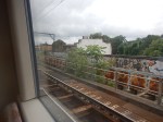
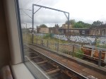
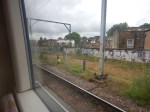
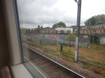
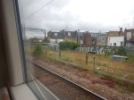
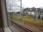
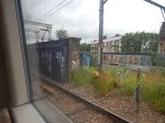
Looking at these pictures, I can deduce the following.
- There is very little constructuction of the former trackbed.
- There would be some signalling equipment to move.
- Some of the steel bridges would have to be replaced.
I feel, that a single track could definitely be created between the new Platform 3 at Camden Road station to connect with both Down North London tracks before the site of the former Maiden Line station.
It may even be possible to squeeze in two tracks.
A new track or tracks would enable the following.
- Eastbound London Overground services to go from Platform 3 at Camden Road station to Platform 3 at Caledonian Road and Barnsbury station.
- Eastbound freight services to go from Platform 3 at Camden Road station to either the Down North London Reversible or the Down North London tracks through Caledonian Road and Barnsbury station.
Note.
- Westbound services going through Camden Road station would be unaffected.
- Westbound London Overground services terminating in Platform 2 at Camden Road station would cross over to the current Up North London Reversible at the current Camden Road Central junction.
- Eastbound London Overground services starting in Platform 2 at Camden Road station would cross over to the new track or tracks to proceed to the East.
These are my answers to a few questions.
Will There Be One Or Two Extra Tracks?
Consider.
- It could probably be organised that the extra track or tracks start perhaps fifty metres or so to the East of Camden Road station.
- The distance between this point and Westbourne Road Junction is around a mile.
- Network Rail allows freight trains up to a length of 775 metres.
I am drawn to the conclusion, that if two tracks were to be built, then signallers would be able to hold the longest freight trains on the extended Down North London Reversible track, without interrupting London Overground passenger services.
How Will The Extra Tracks Affect The Camden Highline?
If two new tracks are built, I would expect that it will be impossible to build the Camden Highline.
But if only one is built, I suspect that a narrower Camden Highline might be able to be squeezed in.
Could Provision Be Made So A New Maiden Lane Station Could Be Built?
This map from cartometro.com shows the track layout around the former Maiden Lane station.
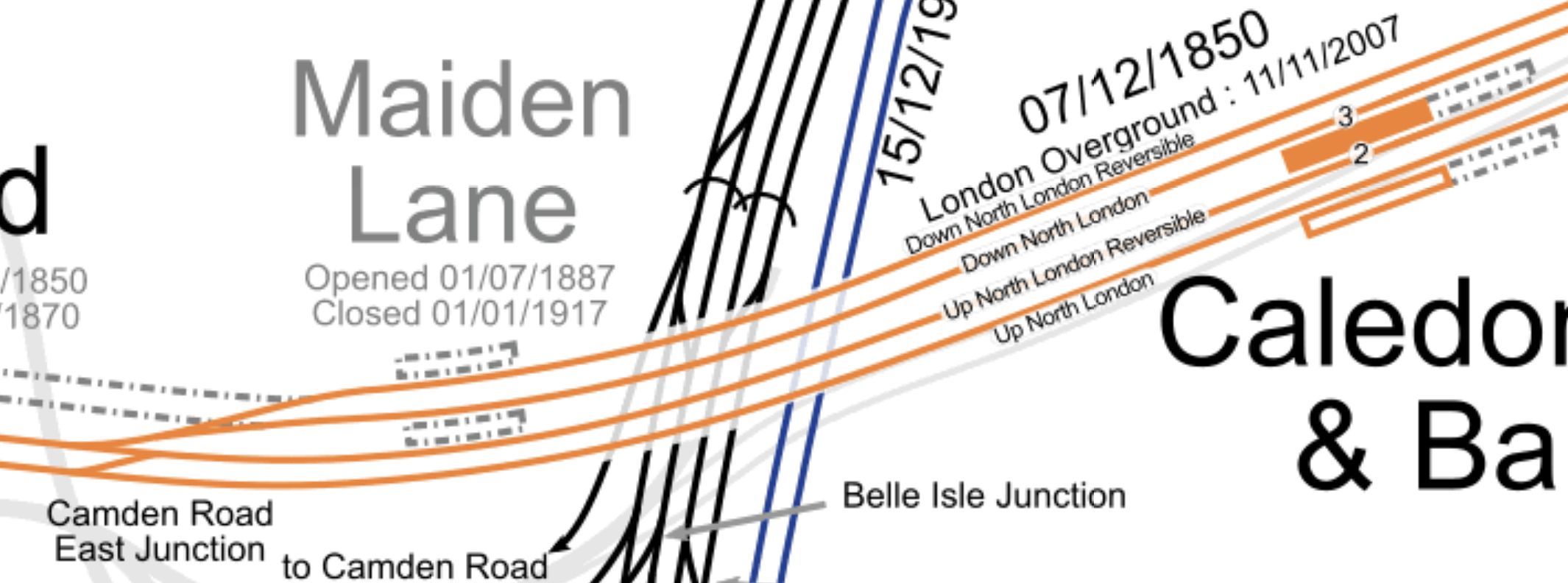
Consider.
- Eastbound London Overground services use the Down North London track and call in Platform 3 at Caledonian Road and Barnsbury station.
- Westbound London Overground services use the Up North London Reversible track and call in Platform 2 at Caledonian Road and Barnsbury station.
- To connect Platform 3 at Camden Road station to the Down North London Reversible and Down North London tracks, I suspect that Camden Road East junction will have to be remodelled.
I wonder if by the application of Network Rail’s latest track layout software, space could found for an island platform between the Up North London Reversible and Down North London tracks.
In Is Caledonian Road And Barnsbury An Ideal Four-Track Station?, I discuss the design of Caledonian Road and Barnsbury station,
I think it is a distinct possibility, that provision could be made for a future Maiden Lane station.
Will There Be Changes At Camden Road West Junction?
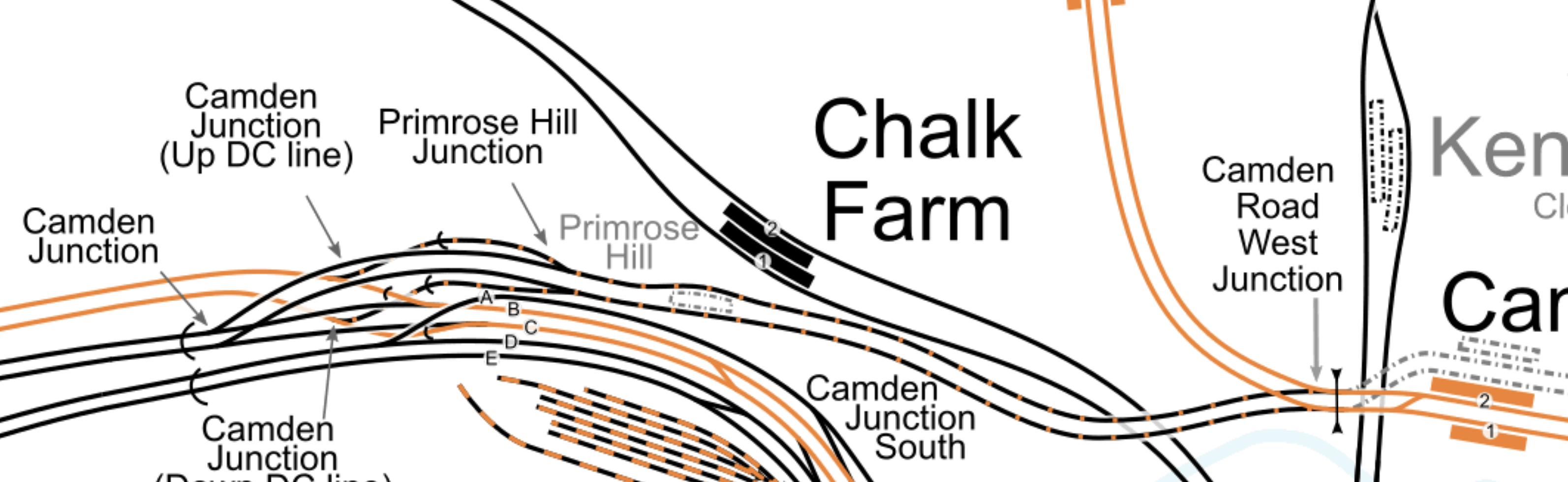
This map from cartometro.com shows the track layout to the West of Camden Road station.
Note.
- Platforms 1 and 2 of Camden Road station at the Eastern end of the map.
- Camden Road West junction to the West of the platforms.
- The dotted lines of old tracks leading to the former Platform 3 and 4 at Camden Road station.
Two double tracks lead away to the West from Camden Road West junction.
- The orange tracks are the North London Line to Willesden Junction and Acton.
- The black and orange tracks are an extension of the Watford DC Line, that links Camden Road station to the West Coast Main Line via Primrose Hill station.
Will both pairs of tracks be connected to the North London Line at Camden Road West junction, as they are now?
- Currently, a few freight trains per day, use the Primrose Hill route.
- There have been plans in the past, for the London Overground to use this route.
- They have also been known to run a Rail Replacement Train between Willesden Junction and Camden Road stations during engineering works, as I wrote about in The Future Of The Watford DC Line.
So I suspect Network Rail will design a comprehensive junction, that is all things to all operators and trains.
Through Running Between The East London Line and Willesden Junction Station
This was originally talked about in the original plans for the London Overground.
If you travel on the Overground to Barking, Blackhorse Road, Canada Water, Highbury & Islington, West Brompton, Hampstead, Whitechapel or Willesden Junction in the Peak, the interchanges are very busy, as passengers are transferring to the Underground.
Was this why through running was originally proposed between the East and North London Lines at Highbury & Islington station, as it would allow direct connection to extra Underground lines?
But one of the aims of the Overground was to enable journeys around London without going via Central London.
Platform 3 at Camden Road station, seems to increase the capacity on the North London Line, so perhaps this upgrade would give extra paths to allow some services to terminate to the West of Highbury & Islington.
This map from cartometro.com shows the track layout to the West of Highbury & Islington station.
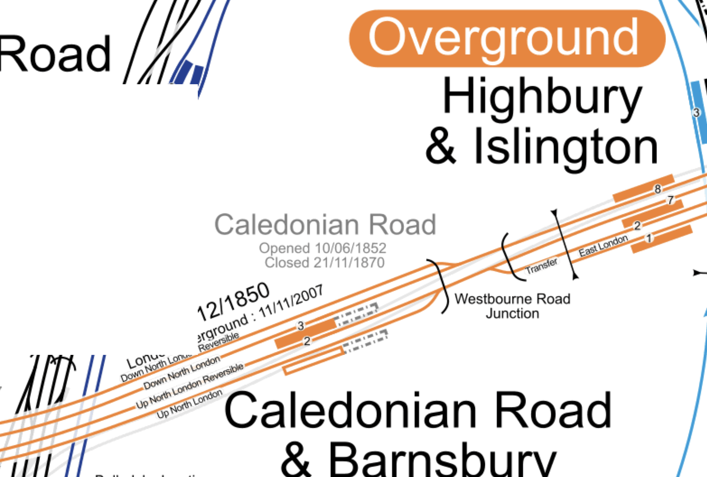
I’m sure if Network Rail’s engineers can sort out King’s Cross, then they can come up with a track and signalling system that can handle this,
Could Platform 2 At Camden Road Be Used As An Alternative Terminus For Watford DC Line Services?
Euston station is being rebuilt and Network Rail might like to kick Watford DC Line services out of the station either temporarily or even permanently.
There are two routes that the Watford DC Line could take to get between Harlesden and Camden Road stations.
- They can use the route, I took one Sunday, when the London Overground was running a Rail Replacement Train, via Willesden Junction Low Level, Kensal Green, Queens Park, Kilburn High Road and South Hampstead.
- They might also be able to join the North London Line an improved Kensal Green junction.
The first route works and the second may need some extra work at Harlesden junction.
I estimate that Platform 2 at Camden Road station is presently as long as 120 metres.
I also estimate that it could be lengthened at both ends, during the building of a new platform 3 alongside.
Could a platform be built long enough to be able to handle two trains simultaneously?
- A four-car Class 710 train at the Western end.
- A five-car Class 378 train at the Eastern end.
A 200 metre long platform would probably suffice!
I think the concept has possibilities.
- Willesden Junction station has connections to the Bakerloo Line.
- West Hampstead station has connections to Thameslink and the Jubilee and further connections could be developed,
- Camden Road station could be connected to Camden Town station, which is on both branches of the Northern Line.
- A reopened Primrose Hill station could be connected to Chalk Farm station on the Northern Line.
- The Northern Line connects to Crossrail at Moorgate and Tottenham Court Road stations.
I suspect, if Camden Town station were to be expanded and rebuilt, that the connection between the two Camden stations would be more likely.
Either route could be taken between Willesden Junction and Camden Road stations.
But I feel, it might be less costly to take the North London Line route, especially, as this connects to West Hampstead station.
Could The Track Layout Be Further Simplified?
I’m no track expert, but it strikes me that a four-track layout could be built between just East of Camden Road station and Westbourne Road junction. From North to South these tracks would be.
- Eastbound Freight line – Connecting at the Western end to Platform 3 at Camden Road station and following the existing Down North London Reversible track to Westbourne Road junction.
- Eastbound Overground line – Connecting at the Western end to Platforms 2 and 3 at Camden Road station and following the existing Down North London track through Caledonian Road and Barnsbury station to Westbourne Road junction.
- Westbound Overground line – Connecting at the Western end to Platforms 1 and 2 at Camden Road station and following the existing Up North London Reversible track through Caledonian Road and Barnsbury station to Westbourne Road junction.
- Westbound Freight line – Connecting at the Western end to Platform 1 at Camden Road station and following the existing Up North London track to Westbourne Road junction.
Note.
- Both freight lines would be long enough for signallers to hold freight trains, so that other services could overtake.
- East of Caledonian Road and Barnsbury station, Overground and freight service would share the two tracks, as they do now!
- West of Camden Road station, Overground and freight service would share the two tracks, as they do now!
It strikes me that by good design, the capacity and speed through this section of the busy North London Line can be increased.
Related Posts
These are related posts about the London Rail Freight Strategy (LRFS).
Decarbonisation Of London’s Freight Routes
East Coast Main Line South Bi-Directional Capability
Gauge Improvements Across London
Headway Reductions On The Gospel Oak To Barking, North London and West London Lines
Heavy Axle Weight Restrictions
Kensal Green Junction Improvement
Longhedge Junction Speed Increases
Moving The West London Line AC/DC Switchover To Kensington Olympia
Moving The West London Line AC/DC Switchover To Shepherd’s Bush
Stratford Regulating Point Extension
Will Clapham Junction Station Get A Platform 0?
 The Anonymous Widower