Is A Crossrail For Leeds On The Way?
This article on Insider Media is entitled Schemes Totalling More Than £140m Backed By Investment Committee.
This is introductory paragraph.
Schemes totalling more than £140m to support the region’s recovery from the Covid-19 pandemic, have have been backed by West Yorkshire Combined Authority’s Investment Committee.
These are the two main schemes.
A £24.2m million (including £17m Combined Authority funding) rail station between Morley and Cotttingley on the Transpennine route at White Rose/
A 31.6m (including £13.9m of Combined Authority funding) parkway rail station at Thorpe Park on the Leeds to York section of the route.
There are also several other schemes for West Yorkshire.
White Rose Station
This Google Map shows the White Rose Centre.
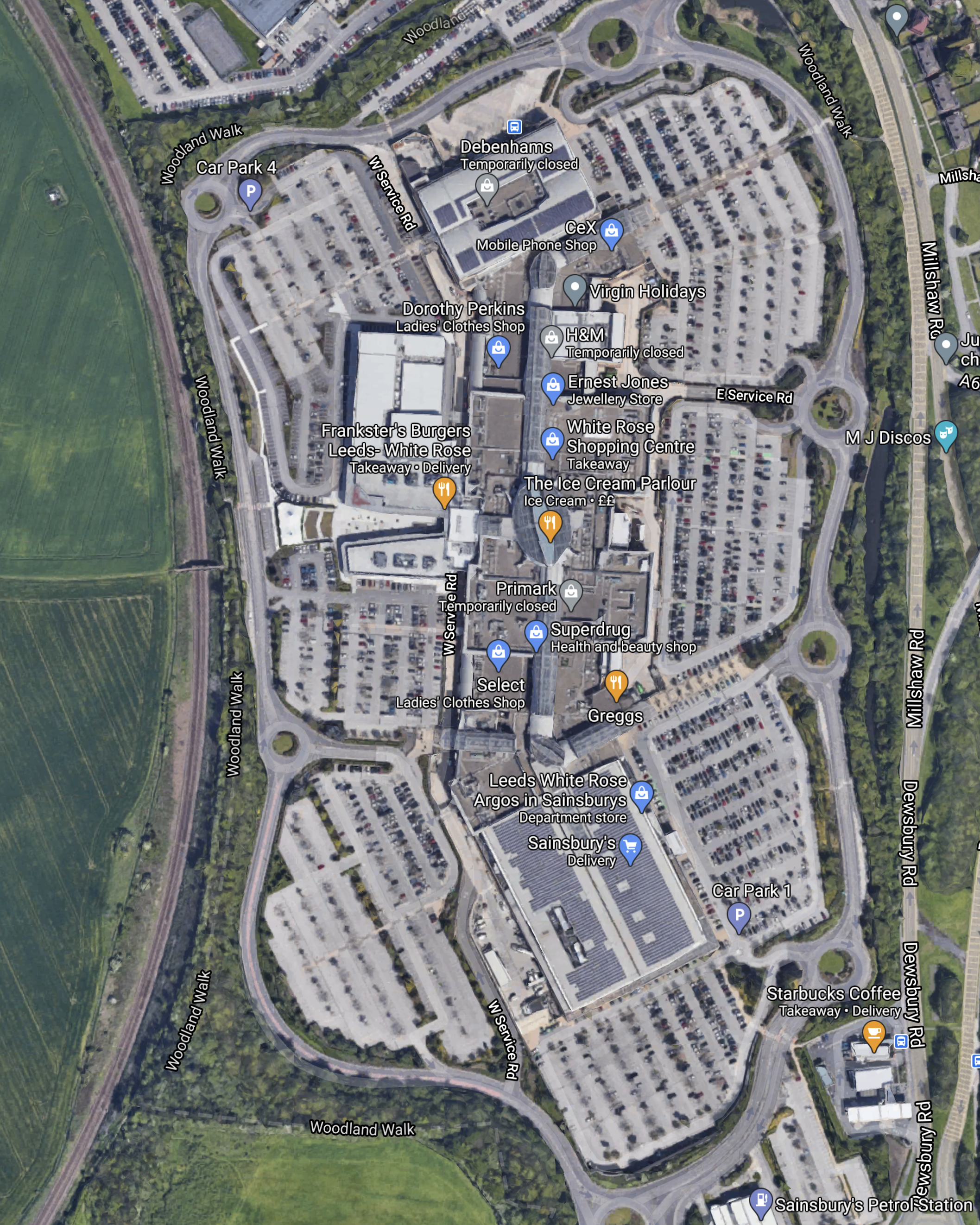
The Huddersfield Line runs North-South alongside the Centre and there must be plenty of space for a new White Rose station.
From Wikipedia and other sources, the following seems to be on the agenda for the station.
- Two platforms.
- Ability to take six-car trains, with a possibility to extend to eight-cars.
- Two trains per hour (tph) in both directions.
- Up to 340,000 passengers per year.
- Lots of parking.
The station would be about 3.5 miles to the South-West of Leeds station.
Thorpe Park Station
This Google Map shows the area where the station could be built.

Note.
- The Selby Line curving across the Northern side of the map.
- Cross Gates station is the next station to the West.
- Going East on the Selby Line, you pass through Garforth, East Garforth and Micklefield stations before the line divides for York to the North and Selby and Hull to the East.
- The M1 Motorway passing to the East of Leeds.
Other features of the proposed station and the area include.
- Wikipedia says that the station will have two island platforms and the ability to handle inter-city trains.
- The route through the station would be electrified.
- High Speed Two could be routed to go close to the station.
- Lots of parking.
The station would be about 4 miles to the East of Leeds station.
A Crossrail For Leeds
Could these two stations in the future become stations on a high-capacity route across Yorkshire centred on Leeds?
- The Western end of the route could be Huddersfield.
- The Eastern end of the route could be both York and Hull.
- Plans exist and projects have started to fully electrify between Huddersfield and York.
- Both stations will be Park-and-Ride stations with good connections to the motorway network.
- Intermediate stations between Leeds and Huddersfield could include Cottingley, White Rose, Morley, Batley, Dewsbury, Ravensthorpe, Mirfield and Deighton
- Intermediate stations between Leeds and York could include Cross Gates, Thorpe Park, Garforth, East Garforth, Micklefield, Church Fenton and Ulleskelf.
- Intermediate stations between Leeds and Hull could include Cross Gates, Thorpe Park, Garforth, East Garforth, Micklefield, South Milford, Selby, Wrassle, Howden, Eastrington, Gilberdyke, Broomfleet, Brough, Ferriby and Hessle.
With the exception of the two new stations and the electrification, infrastructure needs would not appear to be large.
These are some thoughts.
Distances And Timings
These are some distances and estimated timings from Leeds.
- Huddersfield – 27 miles – 32 minutes – 51 mph
- Hull – 52 miles – 55 minutes – 57 mph
- York – 15,5 miles – 23 minutes – 40 mph
Note.
- With full electrification, timings could be improved.
- York and Huddersfield would be under an hour.
- Kull and Huddersfield could be under ninety minutes.
These timings would certainly be achievable by a 125 mph Class 802 train, but I suspect, that they could be achieved by a 110 mph electric train like a Class 730/1 train.
Current Services Through White Road, Leeds and Thorpe Park Stations
These services currents pass through the three stations or their proposed sites.
- TransPennine Express – Liverpool Lime Street and Edinburgh
- TransPennine Express – Liverpool Lime Street and Scarborough
- TransPennine Express – Manchester Airport and Newcastle
- TransPennine Express – Manchester Airport and Redcar Central
- TransPennine Express – Manchester Piccadilly and Hull
Note.
- All of these trains are one tph.
- There could be five quality tph on the route, most of which would be five-car Class 802 trains.
In addition the following services would pass through Leeds and Thorpe Park stations.
- CrossCountry – Plymouth and Edinburgh/Glasgow
- Northern Trains – Blackpool North and York via Bradford Interchange
- Northern Trains – Halifax and Hull via Bradford Interchange
Note.
- All of these trains are one tph.
- Two trains serve Bradford Interchange.
These services could mean eight tph between Thorpe Park and Leeds stations.
In addition the following services would pass through Leeds and White Rose stations.
- Northern Trains – Wigan Wallgate and Leeds
- TransPennine Express – Huddersfield and Leeds
Note.
- All of these trains are one tph.
These services could mean seven tph between White Rose and Leeds stations.
A Possible Future Service
I believe that services across Leeds could be recast to give the City a network of railways that would satisfy the needs of the City.
Possible services could include.
Four tph – York and Huddersfield via Thorpe Park, Leeds and White Rose in under an hour.
Two tph – Hull and Huddersfield via Thorpe Park, Leeds and White Rose in under ninety minutes.
Two tph – Halifax and Thorpe Park via Leeds and Bradford
Note
- There are a lot of possibilities.
- Services would be timed to make interchange easy with other services at Leeds.
I would also arrange for East to West and West to East services to share the same island platform at Leeds.
Conclusion
Leeds will get the electrified local railway the city deserves.
Think Britain To Belfast Is A Bridge Too Far? Try Tunnelling Across Instead
The title of this post, is the same as that of this article in The Sunday Times.
It is a well-written article, with good graphics and maps, which fills out the descriptive title.
This paragraph sums up the overall objective.
For the rail industry, it is part of a long-term ambition to reduce journeys by rail between London and Glasgow and Edinburgh to below three hours, which it is also advocating in the review. Trains to Belfast would turn west near Carlisle, around the Scottish border, and lorries bound for Ireland could be loaded there.
The article also predicts London and Belfast in four hours, with Dublin in six.
In a A Glimpse Of 2035, I looked into the future and left London at eight in the morning on the first train between London and Dublin and arrived at 13:30.
My predictions were thirty minutes less than The Times.
But I also predicted, that eventually, times will be three hours to Belfast and four to Dublin.
A Deep Water Port At Shannon And Its Consequences
One thing not mentioned in the Times article, is that the Irish Government and the EU have a plan to develop a deep water port at Shannon.
It would have a rail link to any rail link to the UK and would speed goods between Germany and North America, avoiding the increasingly congested ports of Rotterdam and Hamburg. Time savings of as much as a day are predicted.
I should say, that I part-grew up in Felixstowe in the 1950s and 1960s and I can remember a sleepy little dock with a giant crane to lift seaplanes out of the water, before the massive container port we know today. There are now something like forty container trains per day, going along the sleepy branch line to Ipswich and then to the rest of the UK mainland. If anybody had predicted that in 1960, they’d have been laughed at.
If the Shannon Port is built, I can see twenty high-speed freight trains per day between Shannon and the Channel Tunnel. There will probably need to be massive improvements to the freight network in the South East of England, to get all those freight trains through or around London.
Standard Or Irish Gauge
If the EU develops the deep water port at Shannon, this would surely be rail connected to the new tunnel.
But the EU only likes to build standard gauge railways, so everybody can use them. I would expect that all new tracks in the Republic of Ireland would be standard gauge.
If you look at Spain, all their high-speed railways are standard gauge and they have both narrow and Spanish gauge railways as well.
Some of the awkward squad in Ireland will object to the standard gauge railways, but he who pays the piper calls the tune.
As the UK will be paying from London to the place where the tunnel emerges and the EU from South of the Irish border, it would be much cheaper to make all the route standard gauge. But some diehards would be against it!
Nine Elms Gateways By Projects Office
I first heard of this project in September last year, in this article on Ian Visits, which is entitled Nine Elms Railway Arch To Be Opened As Pedestrian Tunnel.
Ian introduces the problem like this.
A blocked off railway arch under the tracks in Nine Elms could be opened up as a new pedestrian tunnel. What is officially plain Arch 42 would create a walking link that starts just outside the back of the future Nine Elms station on the Northern line and the cluster of new blocks of flats and the US Embassy on the north side of the mainline railway.
I would appear to be a shorter walking route.
This Google Map shows the area.
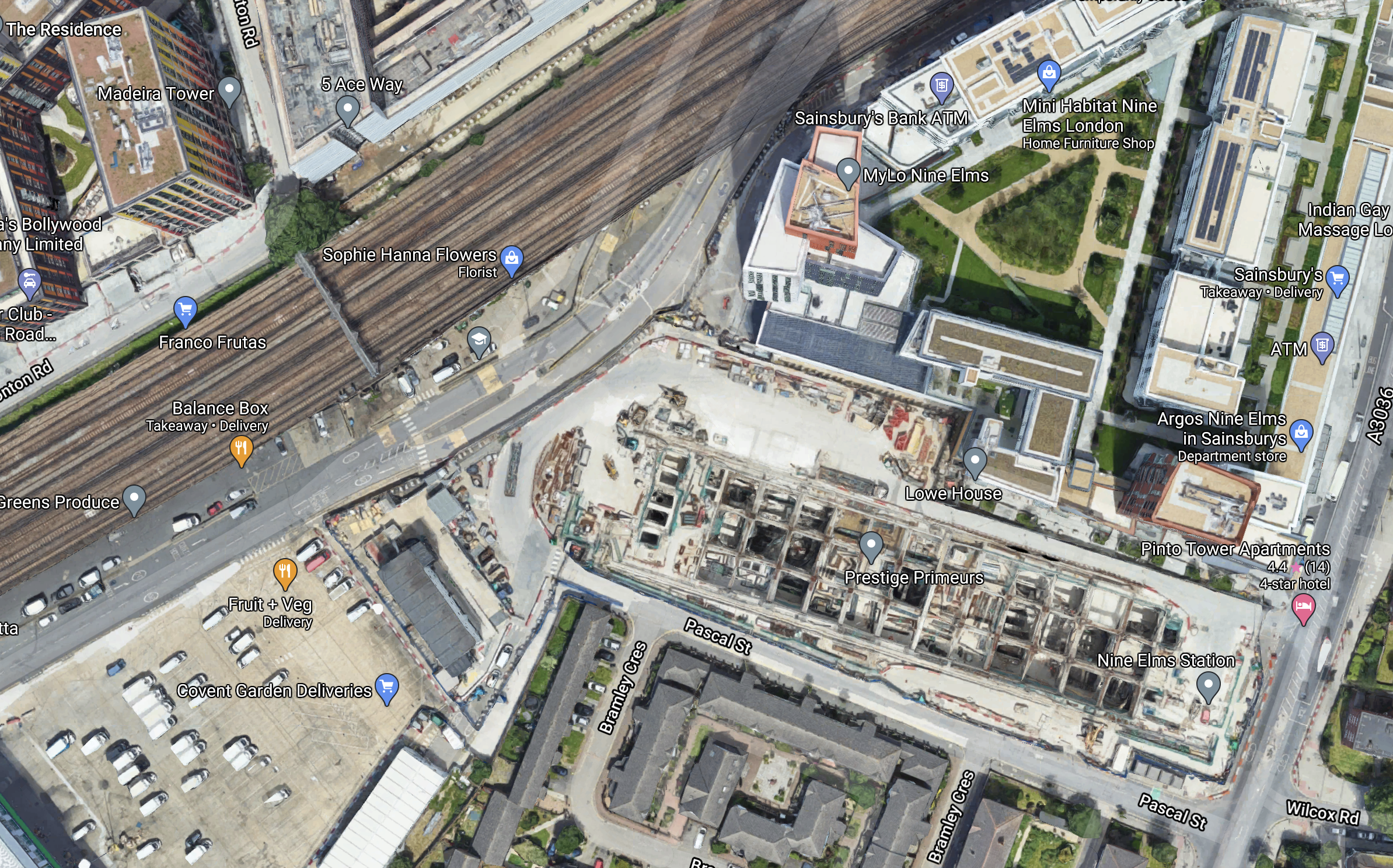
Note.
- The substantial box-like structure with all the buttresses in the South-East corner of the map is the future Nine Elms station.
- Arch 42 is one of the arches, that pass under the railway crossing the North West corner of the map.
It would appear that the proposal to turn the arch into a tunnel could be a good idea.
This article on SWLondoner is entitled Nine Elms Viaduct To Get “Tunnel Vision” Makeover and gives a few details of the project.
This page on the Projects Office web site shows a visualisation of the tunnel.
Have a look and see what you think!
Note.
- In the visualisation, there is a signal gantry across the track, which is also shown in the map above.
- What will be the building material? Brick, steel or even recycled plastic?
I used to know a free-style bricklayer, who would have created an interesting portal.
I like the design and can’t wait to see it in reality!
You certainly won’t miss it, if you’re looking for it to get to the US Embassy or another building on the other side of the tracks.
Conclusion
Could Projects Office have come up with a distinctive way of making tunnels under railways and roads more welcoming?
First Planning Applications Due On Northumberland Line
The title of this post, is the same as that of this article on the News Post Leader.
I described the Northumberland Line projevt in Trains: £34m For Revival Of 50-Year-Old North-East Railway Line, which I wrote a fortnight ago.
This paragraph from the News Post Leader article, describes the scope of the project.
The project will upgrade 18 miles of track, open six new stations, three new footbridges and new signal locations.
And this paragraph, describes the initial work.
Planning applications are set to be submitted to the council for new stations at Ashington and Northumberland Park in North Tyneside, along with a new footbridge at Chase Meadows in Bebside.
It is aimed to open the passenger service in 2024.
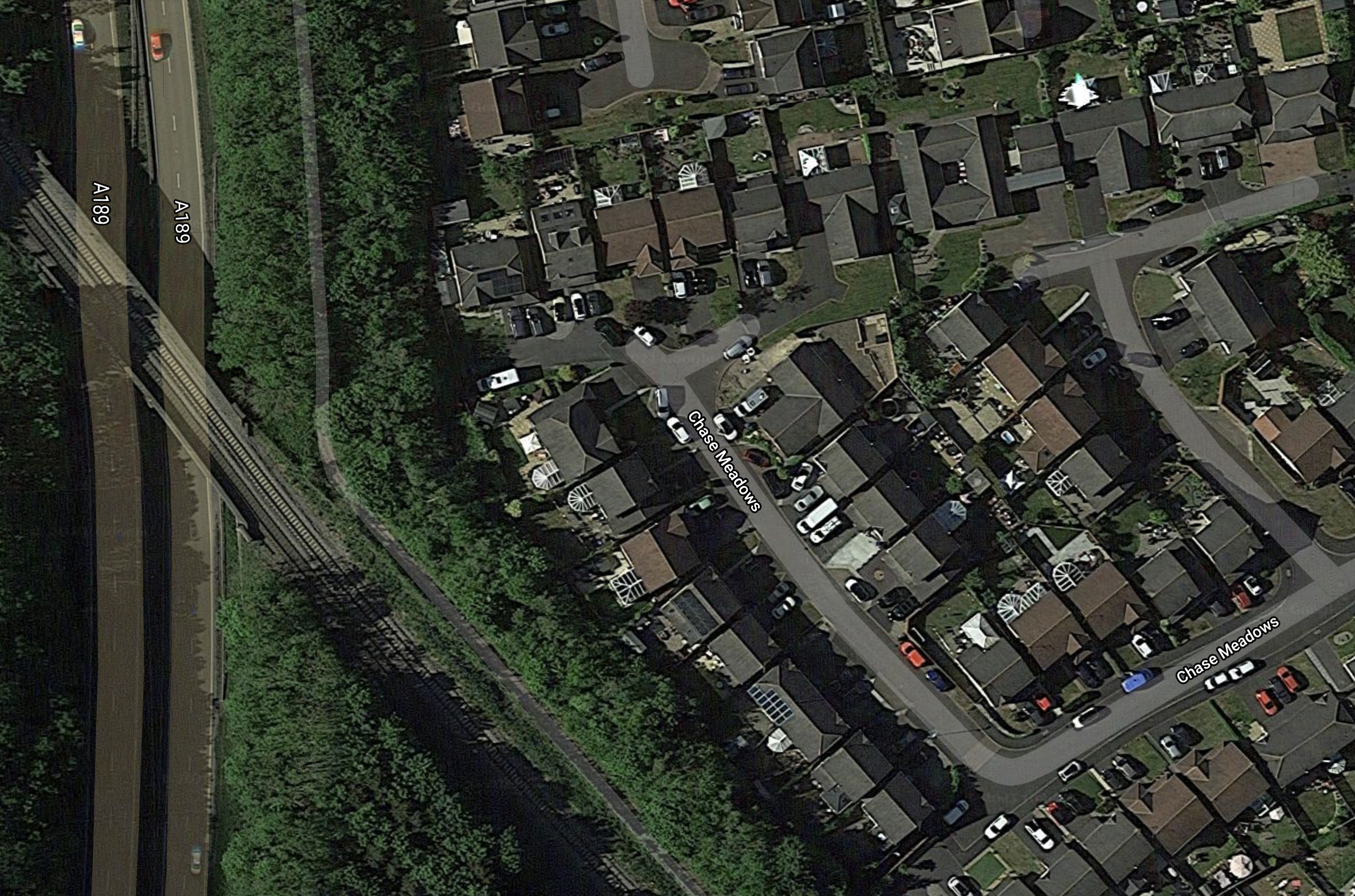
Chase Meadows Footbridge, Bebside
This Google Map shows the location of the new footbridge at Chase Meadows in Bebside.

Note.
- The A189 dual-carriageway running North-South.
- The single-track Northumberland Line curving in a similar direction
- Blyth Academy looks to be an important school.
- Chase Meadows runs from the Academy to the railway.
I have no clue, as to where Bebside station is to be built, but it would seem logical for this to happen on the sizeable plot between the road and the railway. This currently appears to be a small farm, with horses in the fields.
This second Google Map shows where the railway crosses the road.
Note, the path going alongside the road to Asda.
Will the bridge be built on the North-East or South-West side of the railway?
I will assume it will be step-free with either ramps or lifts.
This picture shows Horden station.
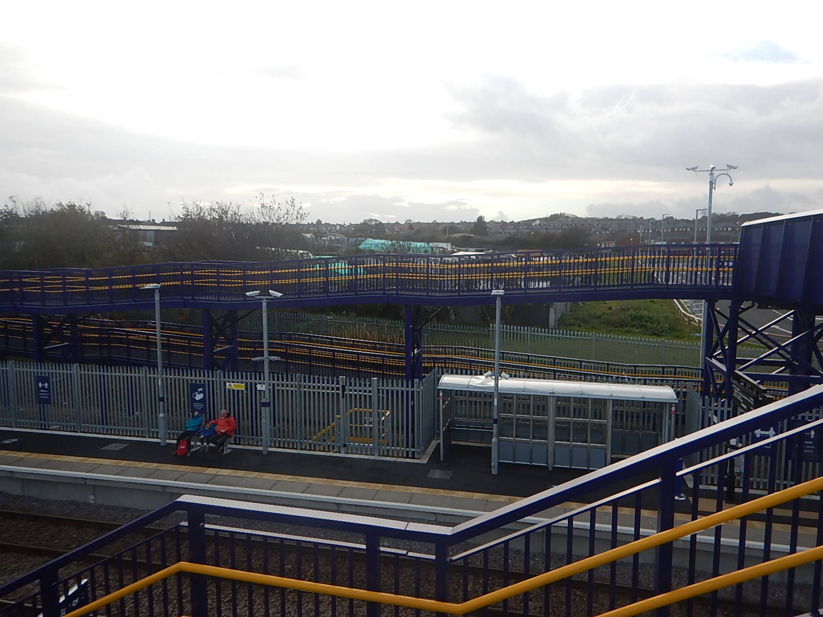
This station is South of Newcastle and only has ramps, so will something similar be built here?
ORR Rejects Grand Union’s London Paddington To Cardiff Train Service Bid
The title of this post, is the same as that of this article on Rail Advent.
I wrote about this service in Grand Union Seeks ’91s’ To Cardiff and this was my conclusion.
I like this proposal.
-
- The important Paddington and Cardiff route gets a fifty percent increase in train frequency.
- There could be genuine competition on the route.
- Grand Union would be using five of the thirty InterCity225 sets, which are in good condition, judging by my recent journeys.
- Could we see a customer service and catering war between the two operators?
If Grand Union Railway runs to Cardiff, I’ll give it a go.
I can see a revised proposal being successful.
Thoughts On The Closure Of The Northern Line At Bank To Complete The Upgrade To Bank Station
The Bank Station Upgrade is a major project that will increase the capacity of Bank station by forty percent.
This document on the Transport for London web site gives details of the project.
It was originally planned that sometime in late 2021, the Northern Line will be closed through Bank station.
The document says this.
We will need to close part of the Northern line Bank branch in 2021, between Kennington and Moorgate, to connect new and existing sections of tunnel safely. Trains will run less frequently on those sections of the Bank branch that are still open. Check back here for details.
This would mean that Bank, London Bridge, Borough and Elephant & Castle stations will be closed on the Northern Line.
To help passengers, TfL say, they will do the following.
- Run 33% more trains on the Northern line Charing Cross branch
- Review bus use and consider enhancing services where necessary
- Investigate scope for passengers to use alternative National Rail services, such as Waterloo to London Bridge, and London Bridge to Cannon Street
- Review available walking space on the Moorgate to London Bridge pedestrian corridor.
These are my thoughts.
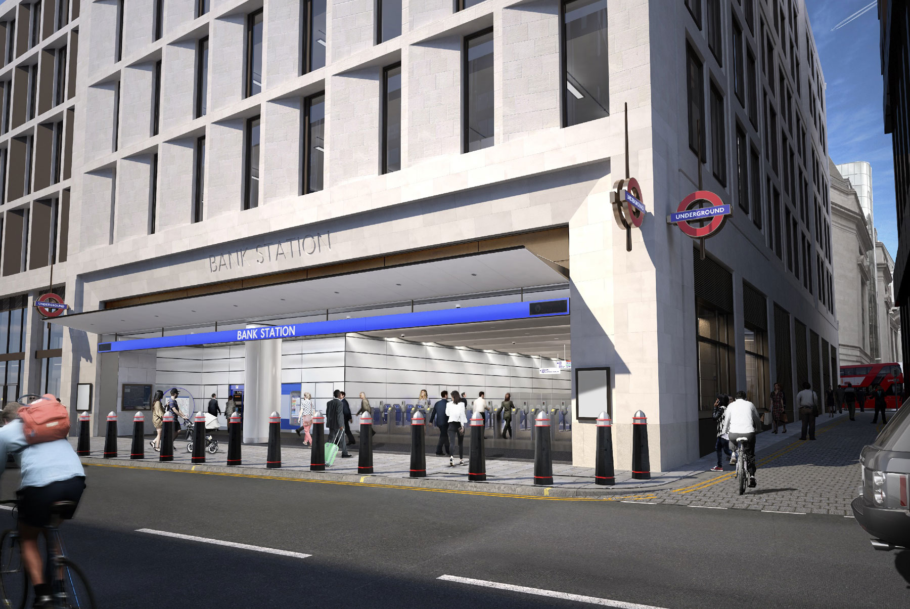
The New Cannon Street Entrance To Bank Station
This visualisation shows the new Cannon Street entrance to Bank station.
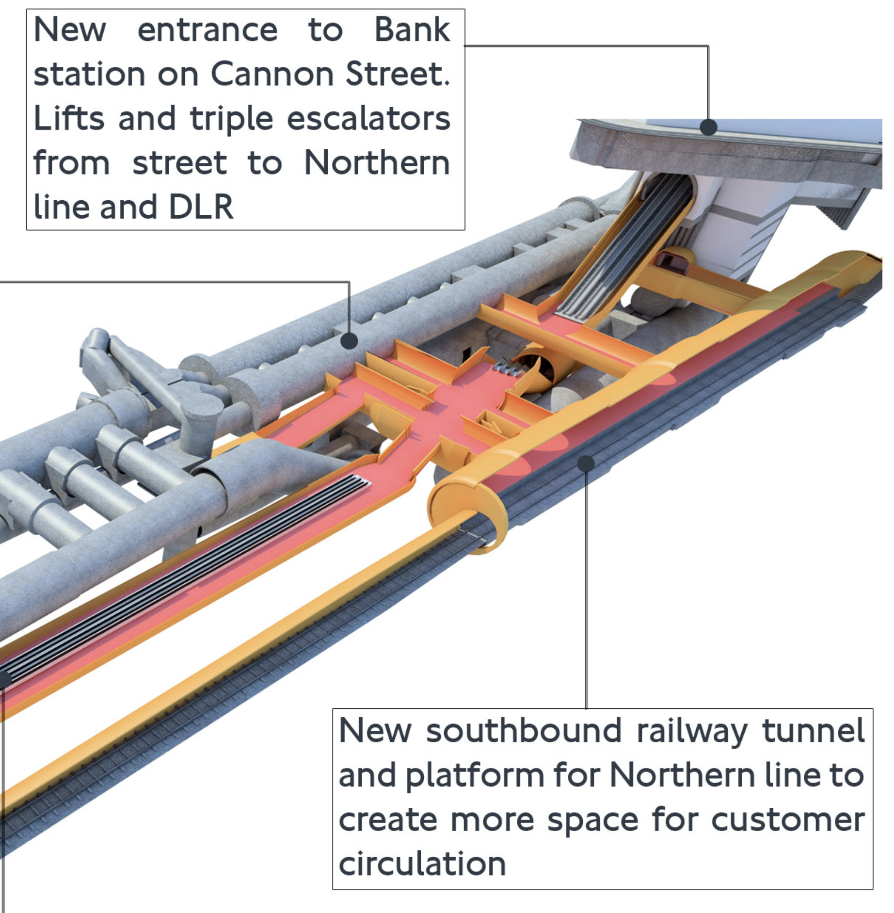
Note.
- South is to the right and we’re looking from roughly the North-West.
- The existing twin bores of the Northern Line on the far side of the visualisation.
- The escalator connection to the District and Circle Lines at Monument station Starts at the Southern end of these two narrow platforms.
- The new single bore of the new Southbound tunnel on the near side of the visualisation.
- The triple escalators descending from the new Cannon Street entrance to one of the four cross-walks between the Northern Line platforms.
- The current Eastern ends of these cross-walks are shown in The Southbound Northern Line Platform At Bank Station.
But where is the Docklands Light Railway (DLR)?
This map from carto.metro.free.fr shows the lines at Bank station.
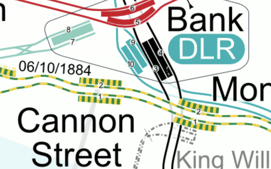
Note.
- The two existing Northern Line Platforms 3 and 4 are shown in black.
- The Central Line is shown in red.
- The DLR is shown in turquoise and sneaks under the Northern Line into Platforms 9 and 10.
- Platforms 7 and 8 are the platforms of the Waterloo and City Line.
- It would appear that the escalator connection between Bank and Monument stations goes between the existing tracks of the Northern Line.
So where is the Docklands Light Railway?
- As Platforms 3 and 9 appear to be close together with Platform 9, the deeper of the two, I suspect we can’t see the Docklands Light Railway in the visualisation, as it is hidden behind and underneath everything else.
- I also suspect that the triple escalators between the new Northern Line cross-walks descend in the space at the Southern ends of Platforms 9 and 10.
This is the Northern end of the visualisation I showed earlier
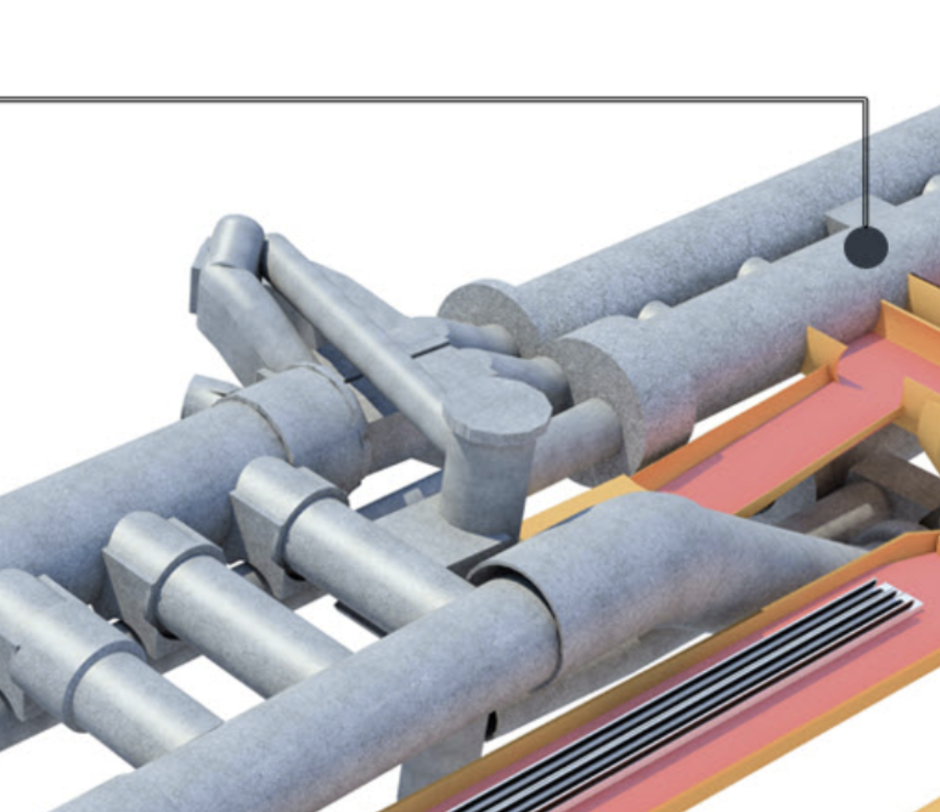
Note.
- North is to the left.
- The two tracks and the narrow island platform of the current Northern Line on the far side of the visualisation.
- The two staircases leading up from Northern Line to a lobby, where passengers can walk North to the Central Line.
- The double escalator barrel going down to the DLR.
- The travelator that will connect the Northern and Central Lines
- The three cross passages linking the DLR escalators to the lobby between the Central and Northern Lines.
- The most Southerly of these cross passages has a lift to the DLR.
The new Southbound platform of the Northern Line, would appear to be to the West of the Docklands Light Railway.
It appears to be a very tight fit.
These pictures show the current status of the new entrance.

There would appear to be still a lot to be done.
This TfL image shows how it will look in 2022.
Ducking And Diving
No-one ducks and dives like Londoners. So rest assured, that if someone needs to get from A to B and the obvious route is blocked, Londoners will always get through. And if all else fails, a black cab will find a way, usually driven by a Londoner or someone infected with the ducking and diving virus.
Crossrail
As ever Crossrail is the herd of elephants in the London railway system.
The Northern Line is possibly the most important North-South route across Central London with two branches through the centre; Bank and Charing Cross.
But Crossrail connects to these North-South routes.
- Lea Valley Lines at Stratford
- East London Line at Whitechapel
- Lea Valley and West Anglia Lines at Stratford
- Northern Line Bank Branch at Moorgate/Liverpool Street
- Northern and City Line at Moorgate/Liverpool Street
- Thameslink at Farringdon
- Northern Line Charing Cross Branch at Tottenham Court Road
- Jubilee Line at Bond Street
- Bakerloo Line at Paddington
Crossrail will give a lot of opportunities for ducking and diving.
Under original plans Crossrail was supposed to open in 2019, with the Bank station closure for the upgrade in 2021.
This phasing certainly seemed a good idea at the time.
- Crossrail will be able to offer alternative routes during the closure.
- If the Crossrail stations are substantially complete, they can release workers to finish Bank station.
I wonder, if it would be sensible to not upgrade the tracks through Bank station until Crossrail opens through Moorgate/Liverpool Street.
As I wrote in Your First Crossrail Service May Arrive In Time For Christmas, Crossrail could open this year.
So are we being prepared for the mother of all cunning plans?
- Crossrail between Paddington and Abbey Wood opens before Christmas.
- The closure of the Bank branch to allow the Bank station upgrade happens at a convenient time after the opening of Crossrail through Moorgate/Liverpool Street.
- Moorgate continues to have a limited Northern Line service to the North.
- Crossrail continues work on the other branches.
Note.
- There is a crossover to the North of Moorgate station, which might allow Moorgate to work as a two-platform terminal station handling up to 4 or 6 trains per hour (tph).
- If Crossrail is running at Moorgate, the station should be step-free to and from the deep-level platforms.
- Transport for London are looking at walking routes on the Moorgate and London Bridge route.
- During the closure of the Northern Line through Bank, passengers for the City will go to Moorgate and walk or perhaps take a bus.
It is my view, that Crossrail must be open, before the Northern Line through Bank station is closed to allow work to be completed.
A Demonstration of the Northern Line Capacity At Moorgate When Working As A Terminal Station
Yesterday, which was a Sunday, the Northern Line was closed between Moorgate and London Bridge stations.
- After a walk, I returned home from Moorgate station via Angel station, where I got a 38 bus.
- I was surprised to find that trains on the Northern Line were leaving Moorgate station for the North every four to five minutes.
This would seem to indicate that frequencies of between 12 and 15 tph are possible.
Current frequencies through Bank station are 24 tph in the Peak and 20 tph in the Off Peak, so it will be a substantial reduction. But it is better, than my original estimate earlier in this section.
33% More Trains on the Northern Line Charing Cross Branch
Currently, the Charing Cross branch has a capacity of twenty-four tph and handles the following services in the Peak.
- 10 tph between Edgware and Kennington
- 2 tph between Edgware and Morden
- 10 tph between High Barnet and Kennington
- 2 tph between High Barnet and Morden
And these services in the Off Peak.
- 10 tph between Edgware and Kennington
- 10 tph between High Barnet and Kennington
Note.
- Extra trains go between the two Northern branches and Morden via the Bank branch.
- Kennington and Morden can handle 28 tph and regularly does.
- The loop at Kennington turns twenty trains per hour in both the Peak and the Off Peak
If there is an increase of 33 % in the number of trains, this must mean that 32 tph will run through Charing Cross in the Peak and 28 tph in the Off Peak.
- The signalling system on the Northern Line is the same as that on the Jubilee Line, where it handles 30 tph.
- It also can handle up to 30 tph between Kennington and Morden on the Northern Line.
- Perhaps it can be stretched to 32 tph through Charing Cross in the Peak.
If the Charing Cross branch can only be uprated to 30 tph, that is still an increase of 25 % in the number of trains.
The Kennington Loop
I mentioned the Kennington Loop and this beautiful old drawing shows its layout.
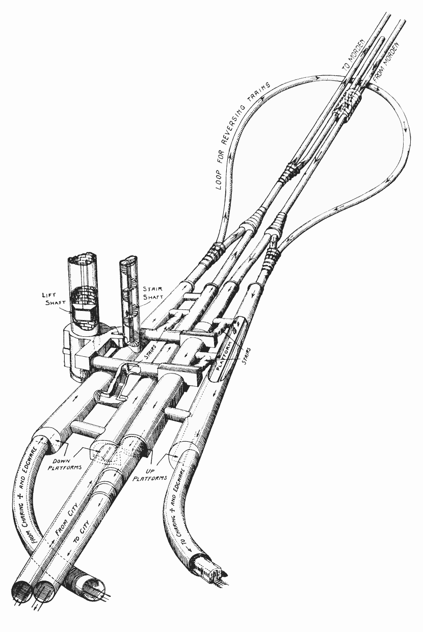
Note.
- South is at the top of the drawing.
- At present, as I said, the loop turns twenty tph all day.
- The extension to Battersea connects to the loop.
This map from carto.metro.free.fr shows a map of the loop.
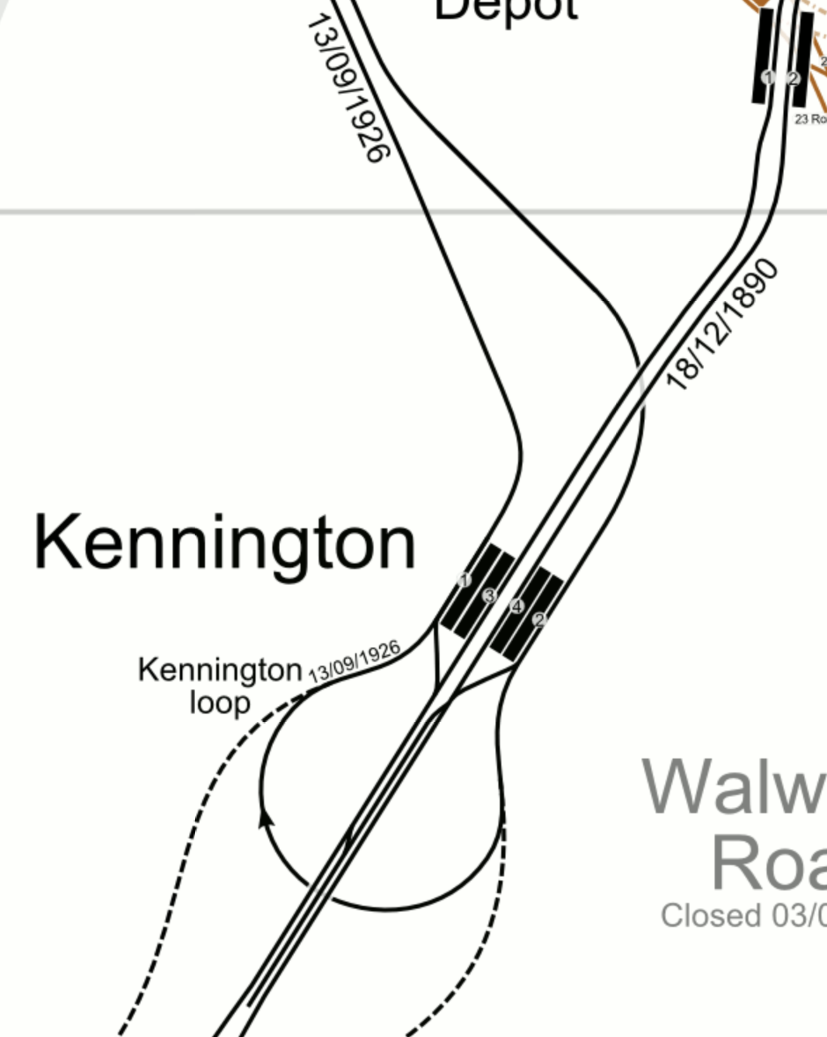
Note.
- The Charing Cross branch goes to the North-West from Kennington.
- The Bank branch goes to the North-East from Kennington.
- ,The lines to Battersea are shown dotted.
- Trains using the extension to Battersea can only use the Charing Cross branch.
I don’t know, but I wouldn’t be surprised, if the line speed to and from Battersea, is faster than it is round the loop.
It’s just that the lines to Battersea are not such a sharp curve and they have been recently designed and built.
As the Modern branch can handle 30 tph, I wouldn’t be surprised to find that the Battersea extension has been designed to handle this frequency.
The Northern Line Extension To Battersea
This document on the Transport for London web site gives details of the Northern Line Extension To Battersea.
This paragraph introduces the project.
The Northern line extension (NLE) between Kennington and Battersea will help regenerate the Vauxhall, Nine Elms and Battersea areas by supporting new jobs and homes. The extension is scheduled to be completed in autumn 2021.
The opening of the extension could offer benefits to the existing Northern Line.
As I said in the previous section, twenty tph are turned at Kennington using the loop.
Will all these trains now use the new Battersea extension, when it opens?
- The Battersea extension is fully double-track.
- Battersea Power Station station has two platforms and a cross-over, so if Brixton and Walthamstow Central stations can handle in excess of 30 tph, I suspect London’s newest terminal station can too!
If the Battersea extension has a design capacity of 30 tph, it would certainly be able to handle 20 tph.
So I wouldn’t be surprised to see all trains that currently turn at Kennington will take the Battersea extension, when it opens.
There must surely be the interesting possibility of before the Battersea extension opens to passengers, using it to turn the trains that would otherwise use the loop at Kennington. It would certainly be a very thorough test, of track and signalling.
I am fairly certain, there would be advantages in having the Battersea extension open before the Bank branch is upgraded.
- Running trains to Battersea could be more efficient than using the Kennington Loop.
- Opening the Battersea extension would need the signalling at Kennington to be upgraded and fully tested, so any changes needed for increased frequencies on the Charing Cross branch could be performed at the same time.
- All the residents of the new housing in Battersea. would have an Underground connection.
Opening the Battersea extension will change passenger patterns on the Northern Line and as the changes will be difficult to predict, it would surely be better to upgrade Bank station, after the opening of the Battersea extension.
Thameslink
Thameslink is not mentioned in any of the Transport for London documents, but surely it has a big part to play.
- Thameslink serves a lot of stations in South and South East London and beyond, including Brighton, East Croydon, Orpington, Sevenoaks and Woolwich Arsenal.
- Thameslink has an interchange with the Circle and District Lines at Blackfriars.
- Thameslink has an interchange with the Metropolitan and Circle Lines at Farringdon.
- Thameslink will have an interchange with Crossrail at Farringdon.
- Blackfriars and City Thameslink stations have good walking routes along the River and to the City.
Thameslink should be appearing on the Tube Map any time soon.
Waterloo And City Line
I am missing the Drain, as it is the easiest way for people in the area, where I live to get to Waterloo station.
I just take a bus to Bank and then walk underground to London’s shortest Underground line.
According to this article on London SE1, it is closed because of the covids, but should reopen in April 2021.
Surely, Transport for London could reopen the line, if they vaccinated all the drivers.
As the Waterloo and City Line has an independent new entrance on Wallbrook, there should be no reason, why it couldn’t reopen before the Northern Line through bank is upgraded.
The Central Line At Bank Station
Nothing has been said, about whether the Central Line will be closed through Bank station, during the upgrade.
I don’t think it will be continuously closed, although access to some parts may be restricted.
There could be partial closures at weekends or in the evenings.
So for commuters and other must-travellers, I suspect the Central Line will get through.
The Circle And District Lines At Monument Station
My thoughts about the Circle and District Line would be similar to the Central Line.
But these lines with their connections at Westminster, Blackfriars, Cannon Street, Tower Hill and Whitechapel could prove important during the works.
The Docklands Light Railway At Bank Station
Again my thoughts about the Docklands Light Railway would be similar to the Central Line.
But there is a lot of work going on to improve access to the Docklands Light Railway, and this could result in a closure to allow completion.
Review Bus Use
When I come into London Bridge station, I usually go to the bus station and get a bus, which stops within fifty metres of my front door. Going to London Bridge isn’t as convenient and I take a variety of routes.
But the corridor between London Bridge and Old Street via Bank and Moorgate has three bus routes; 21, 43 and 141, the last two of which terminate in the bus station at London Bridge. I suspect that the frequency of the last two buses could be increased, if they had a few more buses and drivers, and turned them faster at London Bridge.
I also feel there is scope to run a shuttle between Finsbury Square and London Bridge station.
- It would loop round Finsbury Square at the Northern end.
- It would loop through London Bridge station, as the 43 and 141 buses currently do.
- They would serve Moorgate and Bank.
- As it will be running through a busy part of the City with lots of pedestrians, these buses should be either battery or hydrogen.
- But as they should be high-capacity double-deckers, battery probably wouldn’t have enough power.
What better way would there be, to showcase London’s new hydrogen buses?
And I’m sure Jo Bamford, would make sure that London had enough new Wrightbus hydrogen buses to provide the service.
National Rail Between Charing Cross/Waterloo And London Bridge
I am probably not alone in using this route in preference to the Jubilee Line to travel between Westminster and London Bridge, as where there is an alternative to the deep-level Underground, I will often use it.
In my case coming home from Waterloo, I’ll often hop to London Bridge on National Rail and then get a 141 bus home.
This is classic ducking and diving on my part.
I’m sure others will do the same during the Bank branch closure.
I would also hope, that season tickets would allow passengers to swap terminals without too much trouble and any expense.
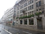
National Rail Between Cannon Street And London Bridge
Using Cannon Street instead of London Bridge could be an relatively easy alternative for many passengers.
- It connects to the Circle and District Lines.
- There are East-West buses outside the station.
This Google Map shows the location of the station.
There are a number of useful walking routes from the station, which is towards the bottom of the image slightly towards the right.
- Bank station is about 300 metres and six minutes away.
- The North-South buses between Moorgate and London Bridge on King William Street are 200 metres and three minutes away.
- St. Paul’s is a bit further but it does have the Central Line and lots of buses including the 76 to Moorgate and Old Street stations.
At seventy-three, I can still walk between Cannon Street and Moorgate stations in 15 minutes.
Walking Between London Bridge and Moorgate
Transport for London have said they will review this.
It is not a difficult walk and it has improved since traffic was reduced at Bank.
Conclusion
As originally planned, the timings of the various projects were such that these projects would be more of less completed before the upgrade of the tracks at Bank station was to be performed.
- Crossrail
- The Northern Line Extension to Battersea.
- The new Wallbrook entrance to Bank station.
But no-one had foreseen Covid-19.
So I would plan the date of the Northern Line closure with the utmost care.
Walking Between Cannon Street And Moorgate Stations
I took these pictures as I walked between Cannon Street And Moorgate stations.

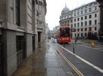
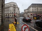
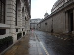
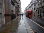
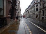

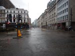

Note.
- It was a Sunday, so there wasn’t much traffic about.
- The bus stop on King William Street is served by buses 21, 43 and 141. wjich all go to Moorgate and Old Street stations.
I needed to find out how long it took for this other post, called Thoughts On The Closure Of The Northern Line At Bank To Complete The Upgrade To Bank Station.
Timings were as follows.
- Cannon Street Station to the Northbound bus stop on King William Street – 3 minutes
- Cannon Street Station to Bank Junction – 6 minutes
- Cannon Street Station to Moorgate Station – 15 minutes
How much faster would I be in better weather?
Italy’s Hardest-Hit Covid-19 Region To Become ‘Hydrogen Valley’
The title of this post, is the same as that of this article on Energy Live News.
This is the first paragraphs.
Lombardy, Italy’s hardest-hit Covid-19 region, will soon become home to the ‘country’s first hydrogen valley’.
Enel Green Power has signed a memorandum of understanding (MoU) with the Italian transport group FNM, to purchase new hydrogen-powered trains, replace the current diesel-powered trains and build hydrogen production facilities powered by renewable energy.
These facilities will be constructed to support the journeys of hydrogen trains.
It sounds like good thinking.
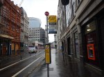
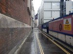
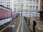
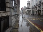
From Silicon Roundabout To Bank – 4th February 2021
I was on top of a 21 bus, as I took these series of pictures.
Silicon Roundabout


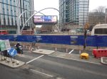
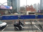
Note.
- My bus Crossed from North to South down the East side of the roundabout.
- Work is now concentrating on creating the new road and pedestrian layout in the North-West corner of the roundabout.
- There will be a lift for passengers in this corner.
This map from Transport for London shows the future layout.
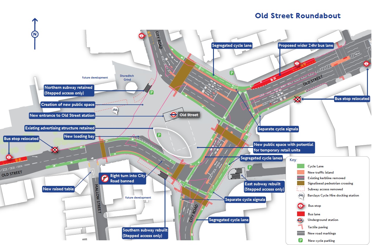
Note the Shoreditch Grind coffee house on the map.
20 Ropemaker Street

This will be a twenty-seven storey tower.
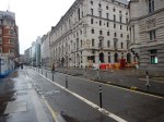
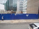
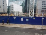
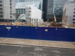
Moorgate Station
The road was blocked off yesterday, when I went earlier to Marks and Spencer. It still was when I took these pictures.


This screen-capture from a Crossrail video shows a possible future Moorgate.
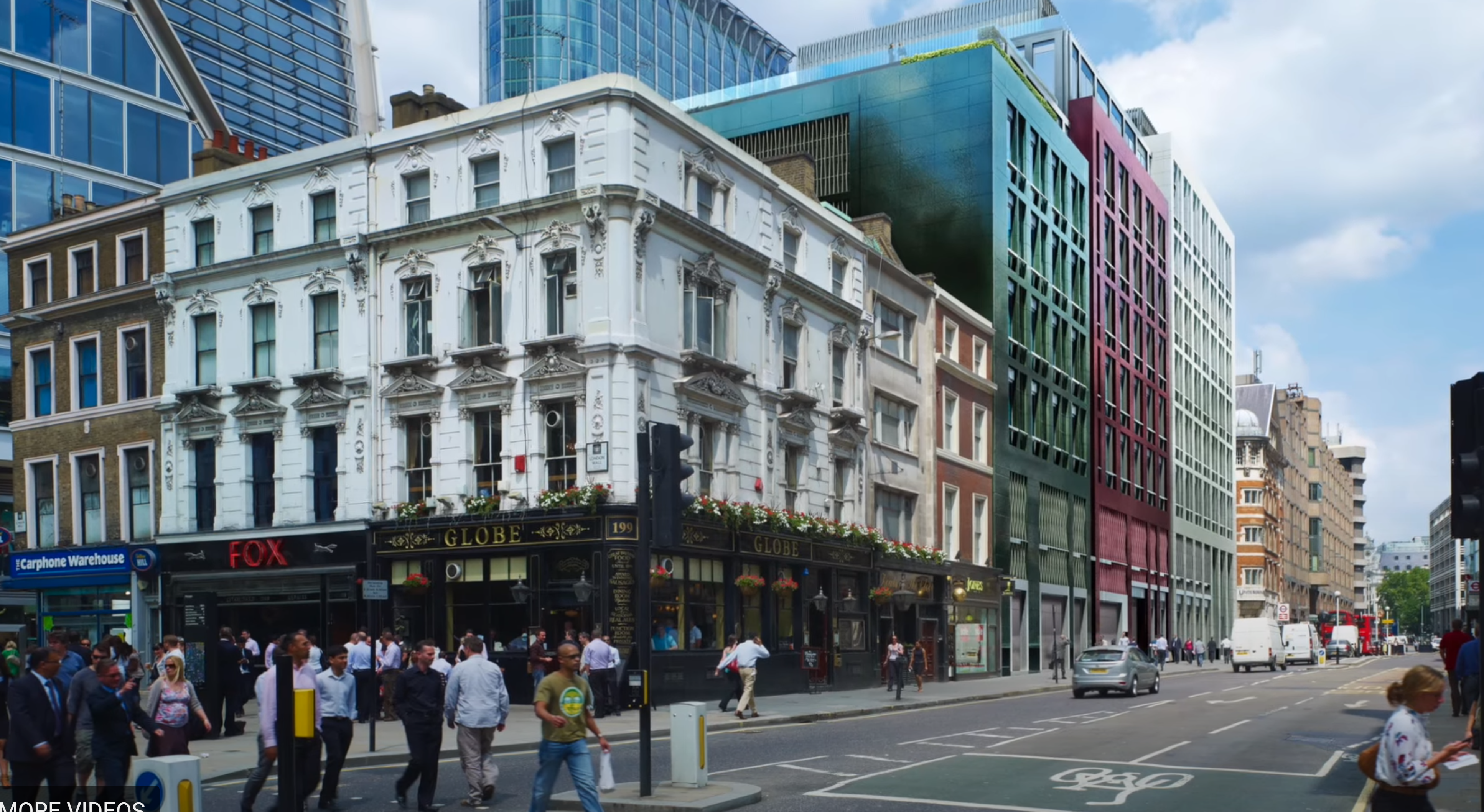
Note the new buildings at 101 Moorgate and the current Moorgate station.There appears to be a gap, so will the station entrance be set back behind a small pedestrian area?
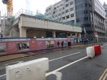
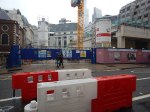
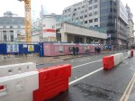
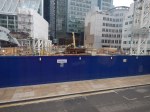
From Moorgate To Bank


The last two pictures show the works at Bank station.
