Penge Interchange
This map from carto.metro.free.fr shows the lines through Penge West and Penge East stations.
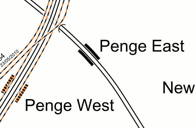
The two stations are a valid out-of-station interchange, but neither is step-free.
Penge East station could be difficult to make step-free, as the footbridge is listed.
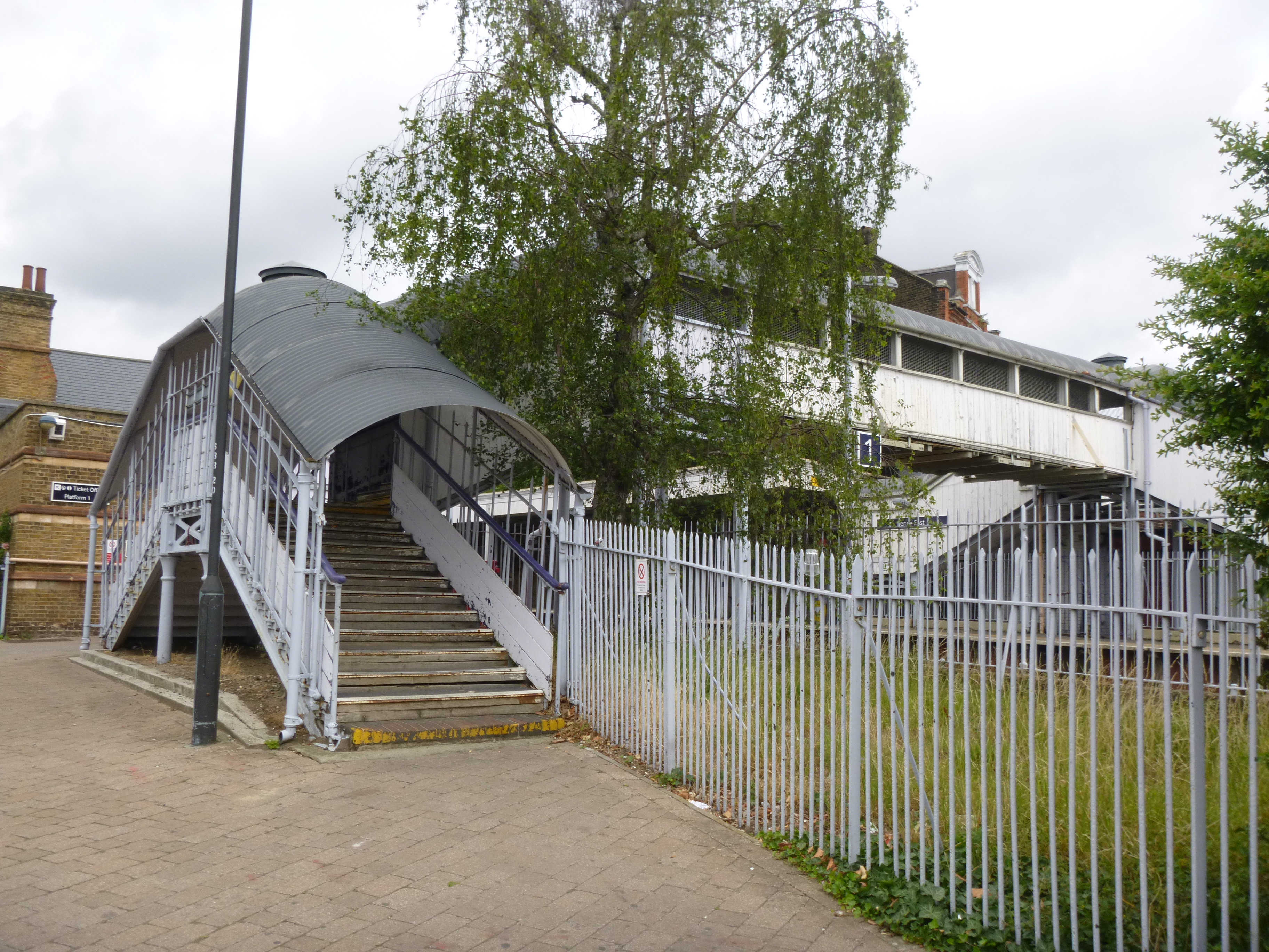
I think that it is one of those structures that Network Rail wouldn’t miss, if it was decided to install it at the National Railway Museum.
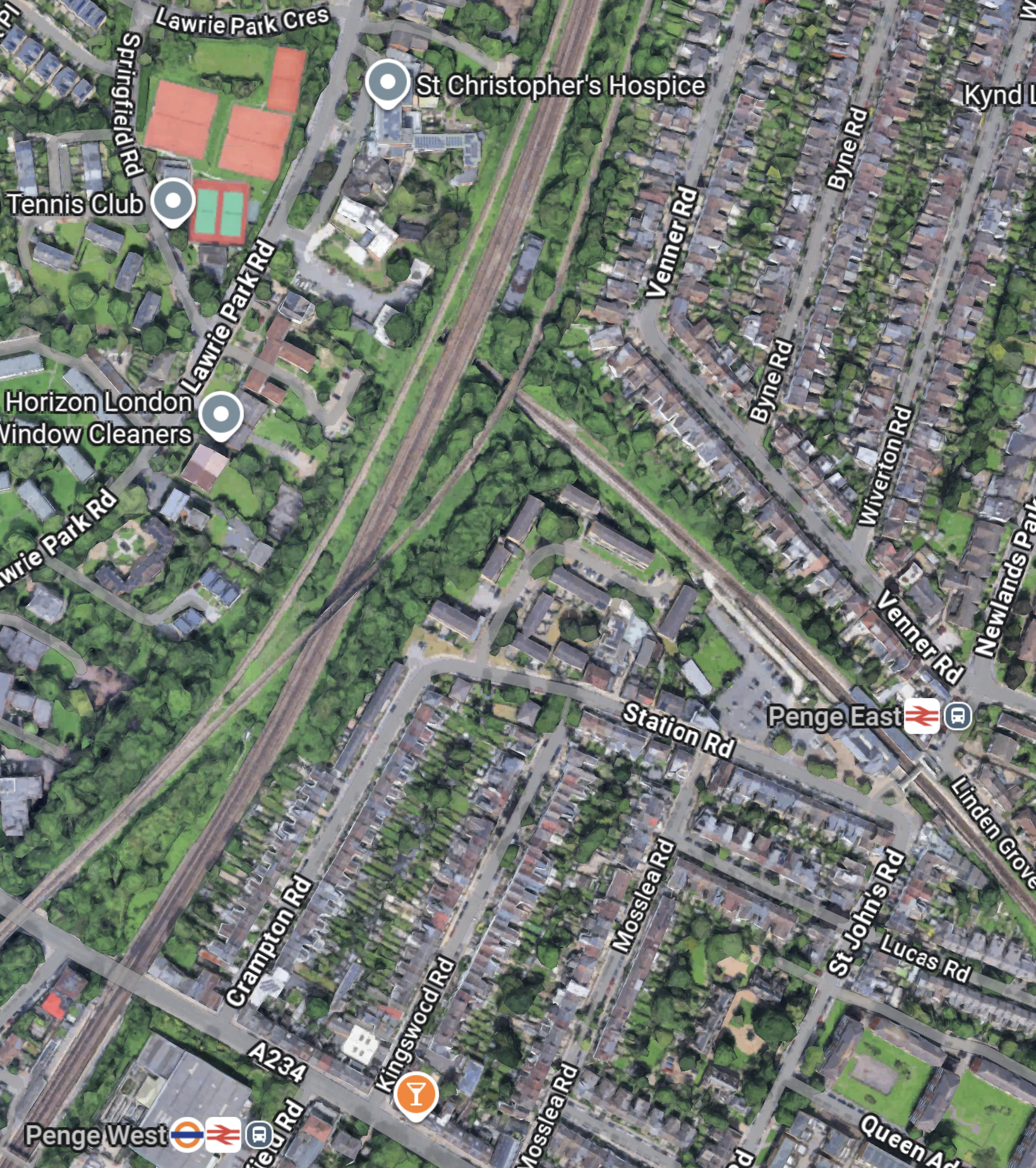
This Google Map shows the two stations and their distances from, where the two lines cross.
Note.
- Penge West station is in the South-West corner of the map on the East London Line.
- Penge East station is in the East of the map on the Chatham Main Line.
- The new Penge Interchange station could be located, where the East London Line and the Chatham Main Line cross.
- The two tracks of the Crystal Palace branch of the Overground can be seen either side of the East London Line.
Could this be one of the reasons, why it has been suggested by Transport for London, that a new station be built, where the lines through the two Penge stations? cross?
- The station would be built on railway land.
- The station could be a step-free four-poster station like Smethwick Galton Street station, which I wrote about in Birmingham’s Four-Poster Station.
- It would have four tph between Victoria and Bromley South stations.
- It would have four tph between Highbury & Islington and West Croydon stations.
- It would have two tph between London Bridge and Caterham stations
- It might also be possible to have platforms on the Crystal Palace branch, thus adding six tph between Highbury & Islington and Crystal Palace. stations.
- The station could have Thameslink platforms.
I feel it would offer the following benefits.
- Better connection between South East and North London, by changing at Penge and Whitechapel.
- Better connection between South East London and Crossrail, with all its connections, by changing at Penge and Whitechapel.
Penge Interchange might allow the two older Penge stations to be closed.
These are some further thoughts.
Southeastern Stations Served From Penge East
These stations are served from Penge East station.
- Beckenham Junction
- Bickley
- Brixton
- Bromley South
- Herne Hill
- Kent House
- Petts Wood
- Shortlands
- Sydenham Hill
- West Dulwich
Each station would get four trains per hour (tph) with two on Sundays.
What Does Artificial Intelligence, Think Of Penge Interchange?
I asked Google AI and received this answer.
Penge Interchange refers to a long-proposed but unbuilt Transport for London (TfL) project to create a major new railway station in Penge, London, combining Penge East (Chatham Main Line) and Penge West (Overground) stations, allowing seamless, step-free transfers between the East London Line (Overground) and Southeastern services, potentially linking to Thameslink, to improve capacity and connectivity in South London. Currently, there’s an “out-of-station interchange” (OSI) between Penge East and Penge West, requiring a walk.
Connecting to Thameslink could be worthwhile.
Note too, that Google AI refers to the East London Line by its traditional not its woke name.
What Does Artificial Intelligence, Think Of Brockley Interchange?
I asked Google AI a similar question for Brockley and received this answer.
“Brockley Interchange” can refer to two main things: the busy M1 Junction 4 near London (a motorway junction with the A41) or proposed future transport links for Brockley railway station in South East London, aiming to connect more rail lines, possibly reusing the old Brockley Lane site for better links to the Nunhead-Lewisham line. The current Brockley Station serves London Overground and Southern Rail but lacks step-free platform-to-platform access, with a proposed interchange potentially fixing this.
Note.
- The reference to the M1 Junction 4 is of course not relevant here.
- Brockley station also doesn’t have an entrance on the Up side.
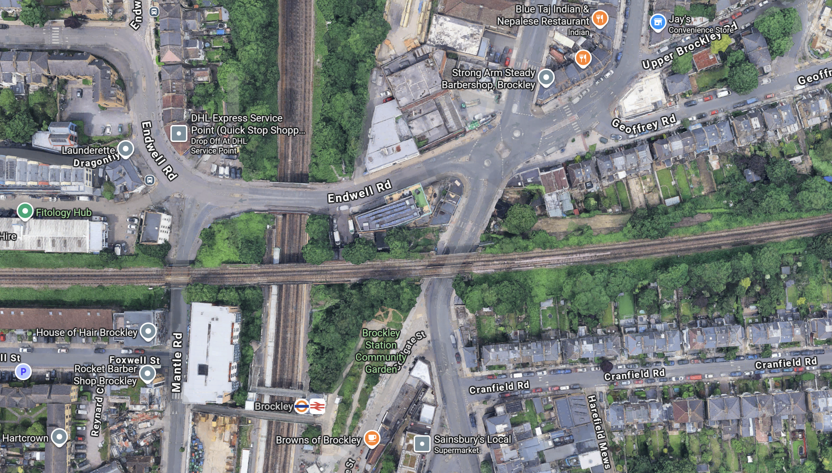
This Google Map shows Brockley station and the Nunhead-Lewisham Line over the top.
Note.
- The East London Line runs North-South.
- The Nunhead-Lewisham Line runs East-West.
- Brockley Lane station was just to the East of the East London Line.
- There is quite a few hectares of spare land along the Nunhead-Lewisham Line.
- A development called Brockley Yard has been given planning permission to the West of Brockley station.
It looks like the station could be redeveloped to join the two lines, with a certain amount of housing above the station.
Conclusion
It strikes me, that there are possibilities for station and network improvements, that would benefit passengers at both Penge and Brockley, that would release sites for housing.
The developments could also be self-funded, by property sales and more passengers on the rail network.
A Design Crime At West Hampstead Thameslink Station
I almost laughed, when I saw this extension.

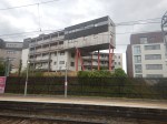


It’s the sort of building put up on industrial sites, where planning rules don’t apply.
Stanmore Tube Station To Convert Car Park Into Flats
The title of this post is the same as this article on Ian Visits.
Super-Efficient Flats Don’t Need Heating Or Air-Con
The title of this post is the same as that of this article on Page 34 of today;s copy of The Times.
These are the first two paragraphs.
In a city of skyscrapers the 26-storey building on a small island next to Manhattan looks unremarkable. Hiding in plain sight, however, is an architectural revolution.
The House, a dormitory for graduate students at Cornell University, is so energy efficient it can eliminate the need for heating and air conditioning. It is the first “passive house” in the US and is providing a stream of data for engineers.
If someone built a passive skyscraper in London, I’d ceretainly go and look.
Network Rail To Outline Business Case For Clapham Junction Redevelopment
The title of this post is the same as that of this article on Rail Technology Magazine.
This is the first two paragraphs.
Network Rail have timetabled their plans to publish a strategy outline business case (SOBC) for the redevelopment of Clapham Junction station.
The public body told delegates at a rail conference in London that it intends to lay out the strategy by the end of the year.
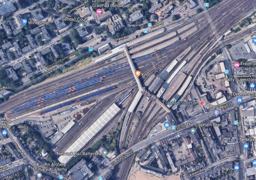
To get a better idea of Clapham Junction station, this Google Map shows the station.
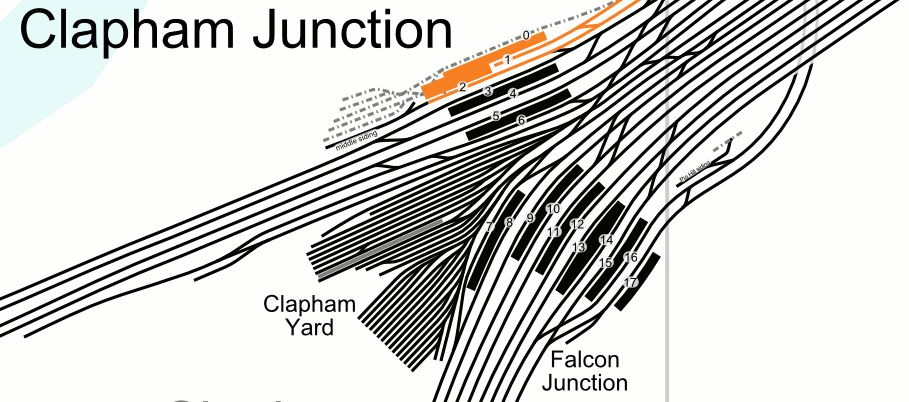
And this map from carto.metro.free.fr shows the track layout.
Note.
- The track layout is extremely complicated.
- A large amount of the area of the station is used for stabling of trains.
- The large number of platforms connected by a pedestrian bridge in the middle.
- There are a lot of stairs and lifts between the bridge and the platforms.
This description of the amount of traffic through the station is from Wikipedia.
Routes from London’s south and south-west termini, Victoria and Waterloo, funnel through the station, making it the busiest in Europe by number of trains using it: between 100 and 180 per hour except for the five hours after midnight. The station is also the busiest UK station for interchanges between services.
All of this adds up to a challenging problem, that if it can be solved, will fulfil these objectives.
- Greatly improve the passenger experience.
- Increase the train and passenger capacity of the station.
- Create more and longer platforms.
- Create or release lots of space for housing and other developments.
- Make the station ready for the Northern Line Extension from Battersea and Crossrail 2.
All of the development must be carried out with as little disruption to trains and passengers.
I’m no architect, but neither are Network Rail or were their predecessor British Rail, but they are good at creating well-thought out track layouts.
I suspect somewhere in a drawer or on a computer, is a British Rail plan for how the station could be laid out.
Such a plan probably existed for London Bridge station and with the design from good architects and structural engineers on top, one of the best terminal stations in the World has been built.
The Rail Technology Magazine article talks of decking over the whole station and putting two million square feet of development on top. But it also cautions, it would be very expensive.
- Could an imaginative architect create a unique development?
- Clapham Junction station, is the best-connected railway station in the South of London.
- Could the development be built with very little provision for car parking?
- Is the land strong enough for a cluster of high tower blocks?
- Could green space be provided?
I’ve lived in the Barbican with a young family and that estate works. But it should be remembered that the City of London had a completely cleared site at the Barbican, due to Nazi bombing.
So would decking over the station, be the way to create a cleared site to create a high-quality eco-friendly development for all?
I think it would and I think it could allow the development to be built at an affordable price.
I also feel that the important objective of building the development without disrupting trains and passengers can be met, by arranging construction in the right order.
Conclusion
Clapham Junction station is a unique site on which to build and like the Barbican, if we build it right, it will be admired fifty years later.
House Prices And Stations
I clipped this from the Evening Standard.
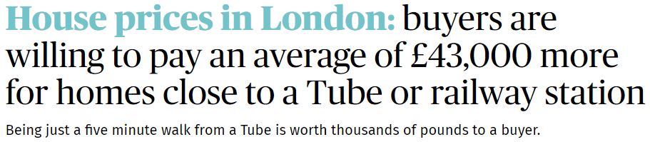
Enough said!
I purposely chose my house to be within ten minutes walk from the two Dalston Overground stations, that would open a couple of years after I moved in.
- It is also within walking distance of twelve major bus routes. All the routes can carry wheel-chairs, if I should ever need one!
- Five routes have stops, within a hundred metres, serving Bank, British Museum, Euston, Harley Street, Kings Cross, London Bridge, Manor House, Moorgate, Piccadilly Circus, Shaftesbury Avenue, St. Pauls, University College Hospital and Victoria.
- I’m only fifty metres from a major cycling route between the City and White Hart Lane.
- I even have a garage, that opens onto the street! But no car!
- My road is wide and there is usually plenty of parking space for visitors or on-line deliveries.
- A taxi ride from Euston, Liverpool Street or Kings Cross is usually under fifteen pounds at all times.
It will get even better!
- When Crossrail opens, I will have 10-12 buses per hour to the Moorgate/Liverpool Street station.
- Dalston Junction station will get a frequency of twenty trains per hour to and from Canada Water, Shoreditch and Whitechapel, that fan out to a selection of places in South London like Crystal Palace, Clapham Junction, Peckham and Penge.
- Dalston Kingsland station will get a frequency of twelve trains per hour to Stratford in the East and Camden, Clapham Junction, Hampstead and High Speed Two in the West.
- I will probably get a series of electric car charging points in the parking spaces in the road, where I live.
- I could put a personal electric car charging point in my garage.
I’m told the value of my house has risen well in the almost ten years, I’ve owned it.
Did somebody once say, that the location of a property, were the three most important things about it?
Conclusion
Make sure your next property has good access to public transport.
A Residential Development Convenient For Rugby And Train Travel
I went through Twickenham station yesterday and took these pictures.
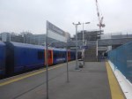
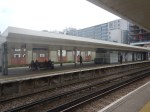
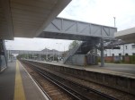
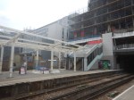

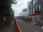
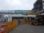
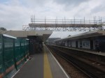
Surely many more stations could sustain a substantial development of much-needed housing on the top.
Development Of The Southall Gas Works Site
I took these pictures as my train went past the former Southall Gas Works to the West of Ealing station.





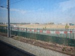


This was where there used to be a gasholder with a helpful sign, showing the way to Heathrow..
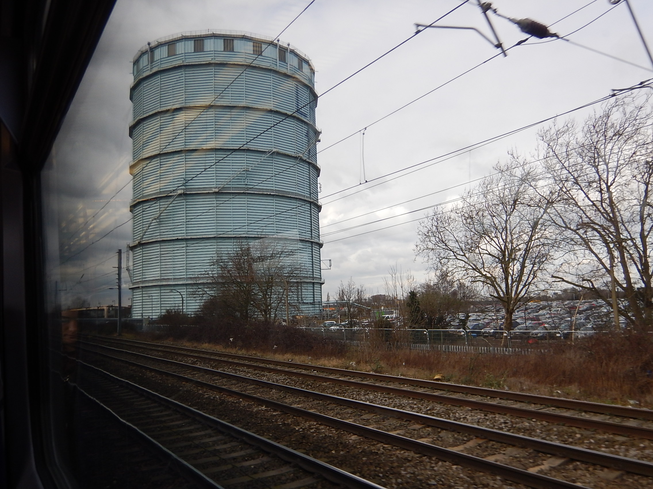
You can just see the L of LHR and the arrow.
This Google Map shows the site.
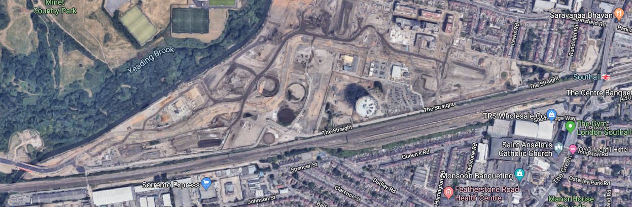
It is going to be a big development.
There are some older pictures from 2016 in What A Waste Of Valuable Land.
Where Has Lillie Bridge Depot Gone?
This is the first paragraph of the Wiikipedia entry for Lillie Bridge Depot,
Lillie Bridge Depot is a historic English traction maintenance depot on the London Underground Piccadilly and District lines, situated in between West Brompton and West Kensington stations in the London Borough of Hammersmith and Fulham. It is accessed from the District line tracks between Earl’s Court and West Kensington or between Earl’s Court and Kensington (Olympia).
This map from carto.metro.free.fr shows the rail lines in the area.
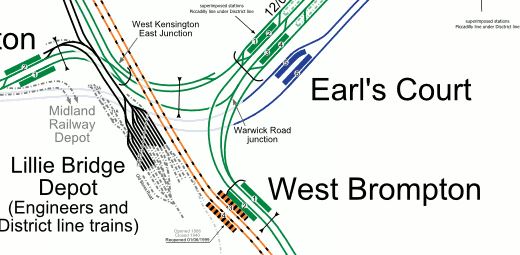
Note that the triangle in the middle of the junction used to be occupied by the Earl’s Court Exhibition Centre, which is now being redeveloped as upmarket housing.
This Google Map shows the area now.
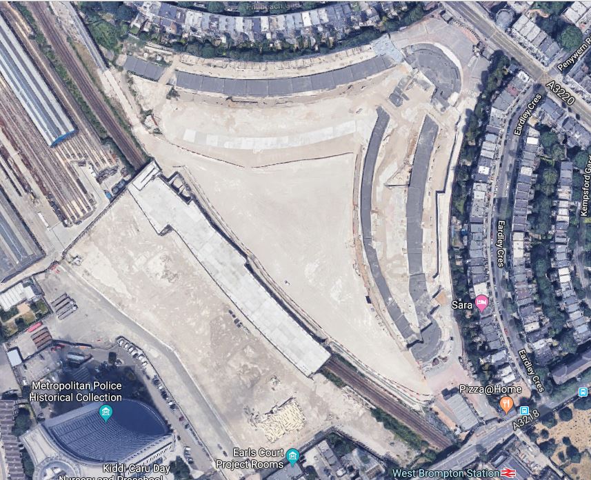
Where is the Lillie Bridge Depot and the other railway lines?
West Brompton station and the West London Line going North-South are just about visible.
But much of the rest of the lines are or will be under the massive development.
Wikipedia says this about the future of Lillie Bridge Depot.
The Depot is scheduled to be decommissioned by 2019 by Transport for London, as part of an Earl’s Court regeneration scheme. Engineering facilities will be moved to Acton Works, and it will be replaced by stabling for twelve S7 Stock trains at a lower level, with redevelopment taking place above it. The scheme has not been universally popular, attracting criticism from the Mayor of London, the current Hammersmith and Fulham Council, local housing associations and residents.
We will be seeing more and more developments like this over railway lines and especially depots, which offer a nice-shaped plot of several acres.
As to who gets to buy or rent the flats and houses, that is up to local and national politicians.
My one worry, is that some politicians insist on so many conditions as to the residents, that development of the site becomes impossible to fund.
Hastings Bus Stop Note Lands Homeless Man Job
The title of this post, is the same as that of this article on the BBC.
This is the first paragraph.
A man who has been living on the streets for nine years has been found a home and job after a teenager spotted his note posted next to a bus stop.
This is a must-read heartwarming story.
My father always reckoned if you wanted something from an individual, company or organisation, that a polite, well-written note often got results.
It’s a technique, I’ve used all my life and it has been successful on the whole.
This guy has just used a modern version, helped by a school-girl and social media.

