Why Should I Pay For The ULEZ Scrappage Scheme?
The Mayor’s pet anti-pollution project the ULEZ scheme is controversial to say the least.
This article on the BBC is entitled ULEZ: Labour MPs In London Call For ULEZ Scrappage Scheme Review.
So even MPs in his own party don’t agree with the current policy!
Consider.
- I am a non-driver after a stroke ruined my eyesight.
- The only possible benefit, that I might get, is slightly less pollution around where I live.
- But the jury is out on that and the current evidence is dubious, as the Mayor has paid for it to be collected.
- In 2021, the population of London had the chance to remove Sadiq Khan, but decided to re-elect him, despite his ULEZ policy.
- So I have no sympathy for those, who have to rely on a non-compliant car or van to go about their daily business.
- They knew they had to either get a compliant vehicle, pay the £12.50 per day or move to somewhere with a friendlier transport policy.
- If the Mayor wanted to cut pollution in London, he could at least have a hydrogen policy, which allowed large trucks based in London to use this clean fuel.
We have another Mayoral election in 2024!
I shall not be voting for any candidate, who proposes to use London taxpayers’ hard-earned money for a scrappage scheme or who doesn’t have a feasible hydrogen policy.
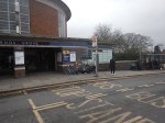
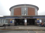
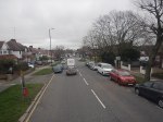
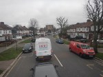
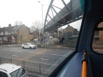
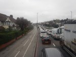
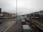
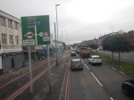
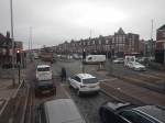
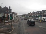
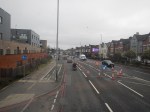
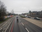
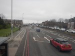
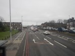
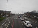
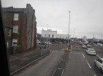
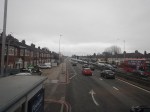
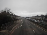
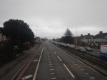
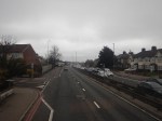
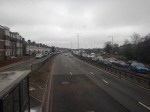
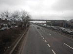
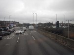
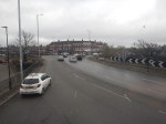
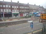
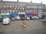
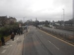
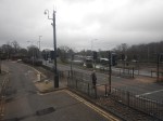
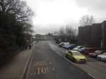
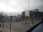
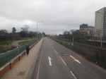
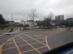
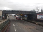
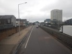
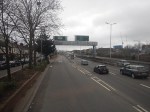
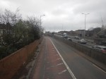
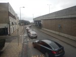
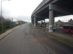
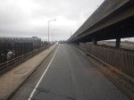
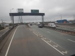
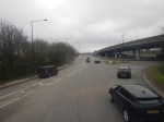
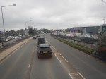
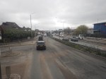
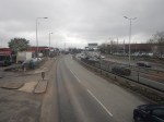
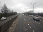
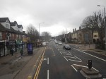
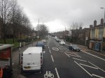
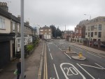
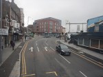
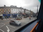
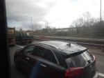
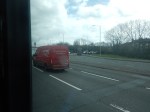
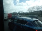
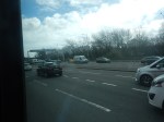
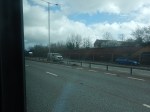
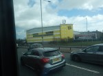
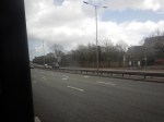
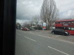
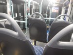
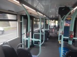
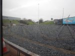
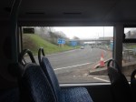
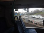
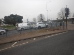
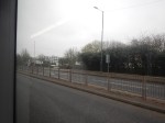
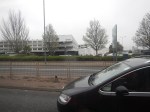
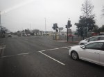
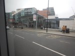
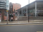
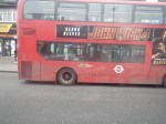
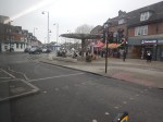
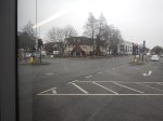
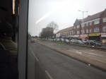
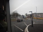
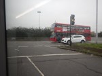
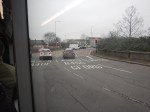
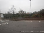
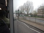
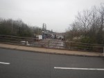
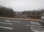
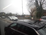
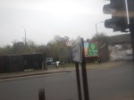
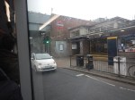
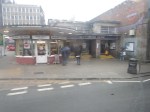
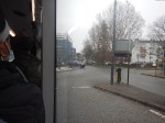
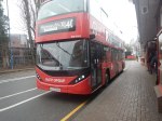
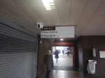
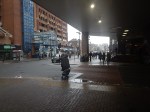
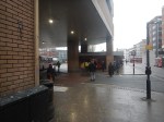
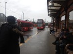
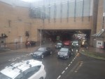
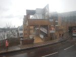
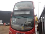
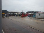
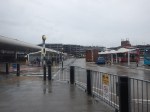
Riding The 34 Bus Between Arnos Grove Station And Walthamstow Bus Station
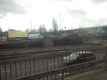
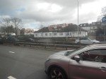
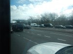
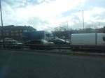
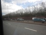
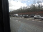
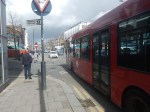
To continue on the route of the Superloop, I needed to get to North Walthamstow bus station, so I took a 34 bus from Arnos Grove station to Walthamstow bus station. I took these pictures.


Note.
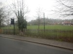
- The route was along the North Circular Road and then into Walthamstow from the Crooked Billet roundabout.
- The North Circular Road was grade separated but quite congested.
- The North Circular Road has a 40 mph speed limit.
- There was only one station on the route; Silver Street, by the North Middlesex Hospital.
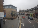
- Walthamstow bus interchange is by Walthamstow Central station and has reasonable amounts of space.
The journey took about 67 minutes.
I have two thoughts.
The Route Of The Bus 34 Could Be Part Of The Superloop
I feel my journey today, proved that this would be part of a feasible Superloop leg between North Finchley and Walthamstow Central bus stations.
This Google Map shows the route between North Finchley bus station and Arnos Grove Underground station.
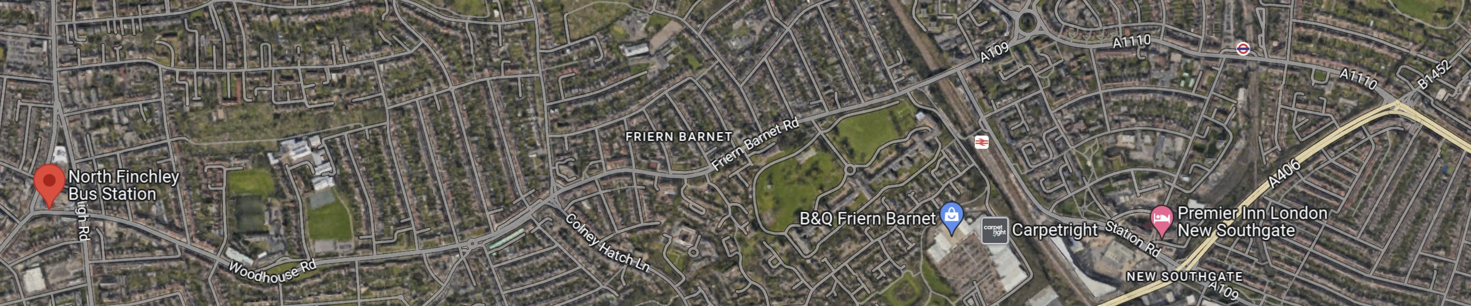
Note.
- North Finchley bus station is shown by the red arrow!
- Arnos Grove Underground station is shown by an Underground roundel in the North-East corner of the map.
- The light yellow road at the East side of the map is the North Circular Road.
There would appear to be a road connecting North Finchley bus station and Arnos Grove Underground station, that runs across the top of the map.
The road passes to the North of New Southgate station, which could be one of the Northern termini of Crossrail 2.
Edmonton
This Google Map shows the North Middlesex University Hospital.
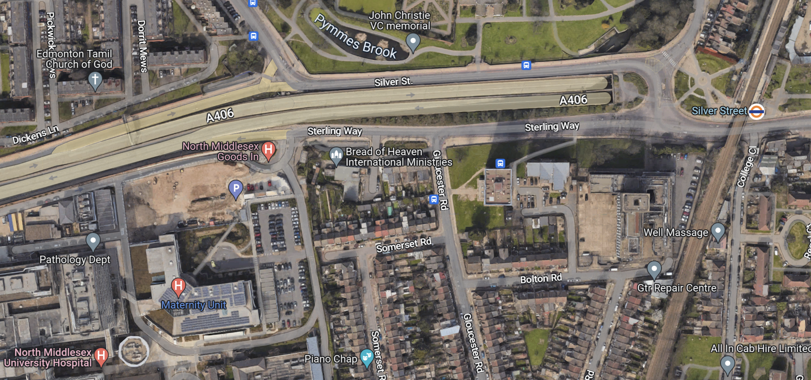
Note.
- The North Circular Road running across the map.
- The North Middlesex University Hospital in the South-West corner of the map.
- The London Overground and Silver Street station in the East of the map.
- There are several bus stops in the area.
This area could be turned into a comprehensive and very useful transport interchange.
Conclusion
The Superloop leg between North Finchley and Walthamstow Central bus stations has possibilities.
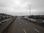
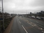
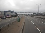
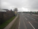
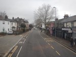
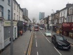
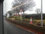
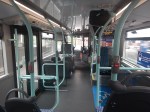
Riding The 112 Bus Between Brent Cross And North Finchley Bus Station
To continue on the route of the Superloop, I needed to get to North Finchley bus station, so I took a 112 bus from Brent Cross to North Finchley. I took these pictures.


Note.
- The bus was only a single-decker.
- The route was along the North Circular Road and then North on the A1000.
- The North Circular Road was grade separated but quite congested.
- The North Circular Road has a 40 mph speed limit.
- Strangely, we didn’t pass a train, Underground or Overground station.
- Both Brent Cross and North Finchley bus interchanges have reasonable amounts of space.
The journey took about 20 minutes.
I have one thought.
Creating A Route Between Harrow And North Finchley Bus Stations
This would not appear to be difficult.
- Between Harrow bus station and Brent Cross, the route would be a simplified version of the 182 route, that I wrote about in Riding The 182 Bus Between Harrow Bus Station And Brent Cross. A more direct route would be taken between Wembley stadium and Brent Cross.
- The bus would just pop in to the large bus interchange at Brent Cross and then go straight back onto the North Circular Road.
- The North Circular Road is two lanes both way.
- The A1000 from the North Circular Road to North Finchley didn’t seem too crowded.
I suspect little work will need to be done to allow Superloop to run successfully between Harrow And North Finchley bus stations.
TfL Needs More Elizabeth Line Trains Because Of HS2 Delays At Euston
The title of this post, is the same as that of this article on Ian Visits.
This is the first paragraph.
Transport for London (TfL) is warning that delays to the HS2 railway may require it to buy more Elizabeth line trains to cope with the thousands of people dropped off at Old Oak Common needing to get into central London.
Given, the way they got the project management and the cost and schedule so wrong, I wonder if we can rely on this assertion.
I certainly find fault with this statement.
In an ideal world, TfL would be able to send some empty Elizabeth line trains stabled in a depot to the west of Old Oak Common station, but the location of the main depot rules that out.
The Wikipedia entry for the Elizabeth Line says this about the future service.
In May 2023, it is planned to allow trains to run from both eastern branches to west of Paddington. This will allow both more flexible, and higher frequency, services: 24 tph peak, 20 tph off-peak, and direct services between Shenfield and Heathrow. In the longer term, when Old Oak Common opens, all trains will serve Old Oak Common, with those not serving the Reading or Heathrow branches reversing there.
The service changes for 21 May 2023 were confirmed in February 2023. The peak timetable will increase to 24 trains per hour. Off-peak service level will remain at 16 trains per hour, with two Shenfield–Paddington trains extended to Heathrow Airport Terminal 5 and two Abbey Wood–Terminal 5 trains switching to Terminal 4.
Consider.
At present 8 trains per hour (tph), pass through the site of Old Oak Common station.
By reversing the trains at Old Oak Common, rather than Paddington, this will surely mean that after the 21st of May 2023, 24 tph in the Peak and 20 tph in the Off Peak will pass through Old Oak Common.
If eight tph, still go on to Heathrow, Maidenhead and Reading, 16 tph will be turned in the Prak and 8 tph in the Off Peak.
This would give more capacity, as more trains would be running between Old Oak Common and Whitechapel.
If TfL have collected the right statistics, I’m sure they can predict the number of trains needed.
It seems to me, that the most important thing that TfL can do is make sure they can turn all the trains they need to at Old Oak Common station.
How Are Trains Going To Be Reversed At Old Oak Common?
The Victoria Line can handle 33 tph between Brixton and Walthamstow Central and the Elizabeth Line could use a similar method to handle the 16 tph, it needs to turn at Old Oak Common.
A process called stepping-up is used on the Victoria Line.
- On arrival in the terminal platform, the driver shuts the train down and leaves the cab.
- A second driver gets in the cab at the other end of the train and readies the train for departure.
- When instructed by the signalling, the new driver initiates the process by which the train leaves the station.
The original driver of the train, walks to the other end of the platform, to get themselves ready to be called to step-up to another train, at an appropriate time in the future.
I suspect to use stepping-up at Old Oak Common for the Elizabeth Line will need four platforms; two through platforms for services beyond Old Oak Common and two adjacent bay-platforms for services to be turned.
In Crossrail Trains Cleared To Use The Heathrow Tunnel, I gave this detailed description from Ian of the Class 345 trains‘ Auto-Reverse feature.
Around half of westbound trains will terminate at Paddington, but to head back eastwards, once all the passengers are off, they carry on westwards to Westbourne Park, then return back to Paddington on the eastbound line.
Normally that means the train driver would drive to Westbourne Park, stop, walk through the train to the other end, then drive back. But with “auto-reverse”, as soon as the train leaves Paddington, the driver switches to automatic and starts walking through the train to the other end. By the time the train arrives at Westbourne Park sidings, the driver will be sitting in the drivers cab at the other end of the train ready to head back into Central London.
I suspect that the Elizabeth Line will use Auto-Reverse or some other nifty piece of automation at Old Oak Common.
Superloop – Will It Be The North Circular Road Most Of The Way Between Harrow And Royal Docks?
This draft map from TfL illustrates the concept of Superloop.
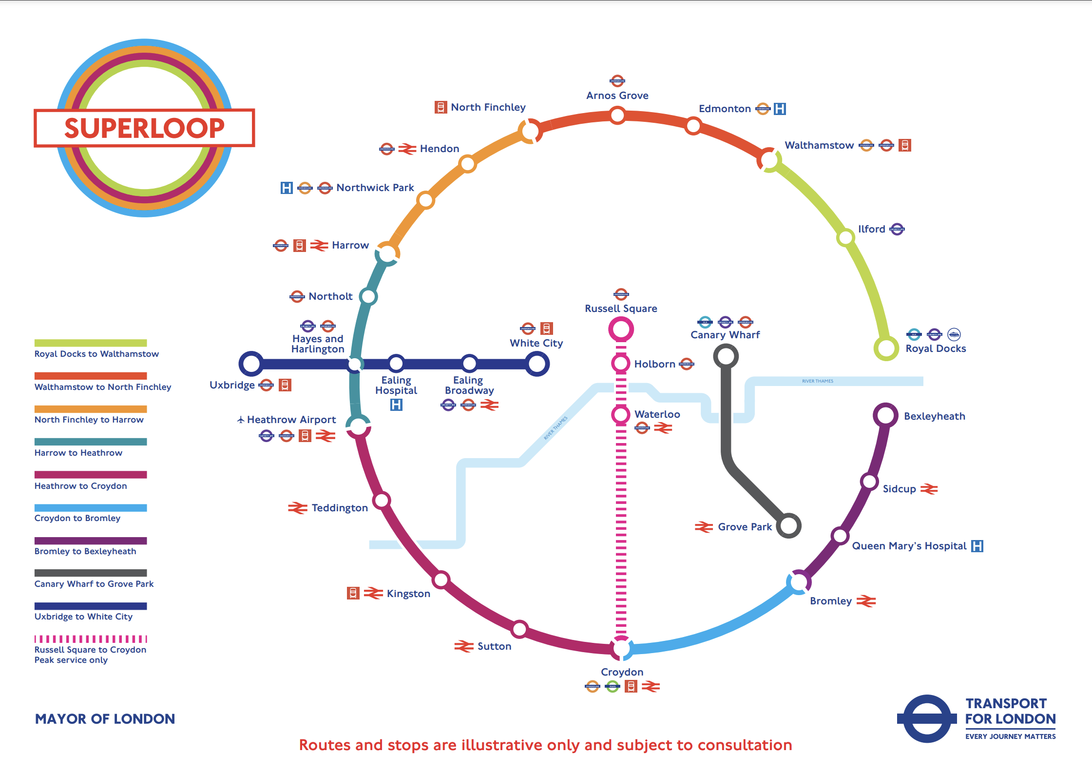
In this post I am considering the section of the the North Circular Road (A406) between the Hangar Lane Gyratory System, where it crosses the A40 in the West and the roundabout , where it crosses the A13 at Beckton in the East.
- This section is a grade-separated dual-carriageway all of the way between Hangar Lane and Beckton.
- Hendon, North Finchley, Arnos Grove, Edmonton, Walthamstow, Ilford and Royal Docks are not far from the A406.
- Several bus routes already run on the A406.
The large Brent Cross Shopping Centre is also just outside the A406 and a new Brent Cross West station will be opening soon.
I’ll now look at the three Northern and North-Eastern sections.
Harrow And North Finchley
This section is shown in orange.
- It calls at Northwick Park hospital and Hendon. both have rail connections.
- Brent Cross Shopping Centre could be on the route, if the A406 is used.
- London Bus 182 runs between Harrow bus station and Brent Cross Shopping Centre via Northwick Park hospital.
Could the 182 bus be extended to North Finchley, where there is a new bus station?
This Google Map shows the stations around the Brent Cross Shopping Centre.
Note.
- The railway running between the North-West corner of the map and the bottom of the map is the Midland Main Line.
- The road running between the North-East corner of the map and the left of the map is the North Circular Road.
- The road running down the right hand side of the railway is the M1, which joins the A406 in the large junction.
- The other major road to the right of the map, is the Hendon Way.
- The station in the North-West corner of the map is Hendon.
- The station being built in the bottom of the map on the Midland Main Line, is the new Brent Cross West station.
- The station in the North-East corner of the map is Brent Cross on the Northern Line.
I am certain that a Superloop bus could run from Harrow bus station and Northwick Park hospital, and visit the required number of the stations around the Shopping Centre, before trundling on to the new North Finchley bus station for some refreshment before returning to Harrow.
I feel that the Superloop bus could use the North Circular Road from the shopping centre and then turn North on to Finchley High Road (A 1000).
North Finchley And Walthamstow
This section is shown in red.
- It calls at Arnos Grove and Edmonton.
- London Bus 34 runs between Walthamstow bus station and Barnet. It runs for some of the way along the North Circular Road and passes Arnos Grove, Silver Street and the North Middlesex Hospital.
I am certain, that a Superloop bus could run between Walthamstow bus station and North Finchley, using a similar route to the 34.
Walthamstow And Royal Docks
This section is shown in lime.
- It calls at Ilford for the Elizabeth Line.
I am certain, that a Superloop bus could run between Walthamstow bus station and Royal Docks, using a the A406 and the A13.
Conclusion
After this simple analysis, it looks possible to use the use the North Circular Road between Harrow and Royal Docks.
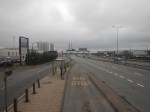
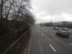
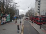
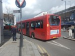
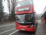
Riding The X140 Bus Between Heathrow Airport And Harrow Bus Station
I did this journey, which will be part of the Superloop, in better weather than yesterday, and was able to take these better pictures.


Note.
- The roads were much better than yesterday’s trip and were mostly two lanes each way, with large roundabouts at junctions.
- I suspect the bus was going at between 30 and 40 mph most of the way.
- There was still quite a lot of traffic.
- It is a distance of about 15 miles.
- The timetable says that buses run every 10-13 minutes.
- The X26 buses run between about six in the morning at midnight.
- There are twelve intermediate stops.
- Harrow-On-The-Hill station is next to Harrow Bus station.
- Heathrow Central connects to Heathrow Express, the Elizabeth and Piccadilly Lines.
- Hayes and Harlington connects to the Elizabeth Line and GWR’s local services.
- Northolt station connects to the Central Line.
- Northolt Park station connects to Chiltern.
- South Harrow station connects to the Piccadilly Line.
- Harrow-On-The-Hill connects to the Metropolitan Line and Chiltern
The journey took 49 minutes, which is only a minute longer than the timetable.
I have a few thoughts.
Passenger Numbers
These were my observations on my journey that started at about 11:30 on a dry day.
- Few got on at Heathrow Central, but I suspect we had just missed a bus.
- By Hayes & Harrington station, the bus was about a quarter full.
- At South Harrow station it must have been about three-quarters full.
- At Harrow bus station all the lower-deck seats were taken.
I would expect that the loading I saw fits with TfL’s expectations.
The Bus
The bus was one of the latest ADL battery-electric buses.
- It had a strong performance.
- It had wi-fi and phone charging.
- It was probably less than a year old.
- It was a lot better than yesterday’s bus!
At present not all buses on the route are battery-electric, as some are still older hybrids.
Travelling To Heathrow From The Northern Reaches Of The Metropolitan Line
Many people travel to and from Heathrow either for work or because they are flying.
- But it is not an easy journey from the Northern reaches of the Metropolitan Line.
- I believe the X26 bus could be a viable way to get to the airport for many.
- There would be a change at Harrow-on-the-Hill, but the station is at least step-free.
- It would avoid parking fees.
- Fares could be less than fuel costs.
The only big drawback, is that the X26 bus is not twenty-four hours.
More And More Frequent Buses Would Help
I believe that the Superloop should be a 24-hour service, as a lot of things go on at airports in the middle of the night.
I’ve just found out that there is an N140 bus that covers the route.
I also think, that as with the Overground, services should be at least four buses per hour.
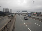
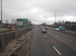
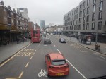
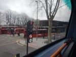
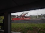
Riding The X26 Bus Between West Croydon Bus Station And Heathrow Airport
I did this journey, which will be part of the Superloop, in the pouring rain yesterday, and took these were the awful pictures.


Note.
- The rain didn’t help, but the journey was so slow and it is timetabled for an hour and forty minutes.
- There was a lot of traffic and this meant we were a few minutes late.
- I was sitting up front, with another pensioner, who was going to have lunch with mates in Kingston.
It may be an express bus, but I can’t see the speed of this section attracting a lot of passengers.
When I took my ride across Birmingham in a hydrogen bus, which I wrote about in Riding Birmingham’s New Hydrogen-Powered Buses, where I said this about the Wrightbuses.
I very much feel that the buses are the best hydrogen-powered vehicles, that I’ve travelled in, as they are smooth, comfortable, quiet and seem to have excellent performance.
There were some sections of dual-carriageway in Birmingham, where the buses were able to use their excellent acceleration to get through the traffic and make up many seconds.
It should also be noted, that Dublin uses the same hydrogen buses for a long-distance commuter bus.
New Fast Bus Service To Link London’s Outer Boroughs
The title of this post is the same as that of this article on the BBC.
This is the sub-heading.
A new fast service bus network has been announced for London’s outer boroughs.
These three paragraphs outline the concept.
Six new routes will be created and four incorporated into the ‘Superloop’ network, complete with distinct branding.
The plans propose a fast service to make more stops linking many of the peripheral boroughs.
The network is part of London Mayor Sadiq Khan’s effort to compensate for the impact of the ultra-low emission zone expansion, due to start in August.
This draft map from TfL illustrates the concept.
In the draft map, the following can be discerned.
- Arnos Grove station is in the North.
- West Croydon station is in the South.
- Royal Docks and Bexleyheath are in the East.
- Uxbridge and Hayes & Harlington stations are in the West.
- Elizabeth Line stations on the route include Ilford, Custom House, Heathrow Airport and Hayes & Harlington.
The plan may work well, as in the 1950s and 1960s, I used the 107 bus route very regularly, as it cut a circular path between Queensbury in the West and Enfield in the East.
I have some thoughts.
Royal Docks And Bexleyheath
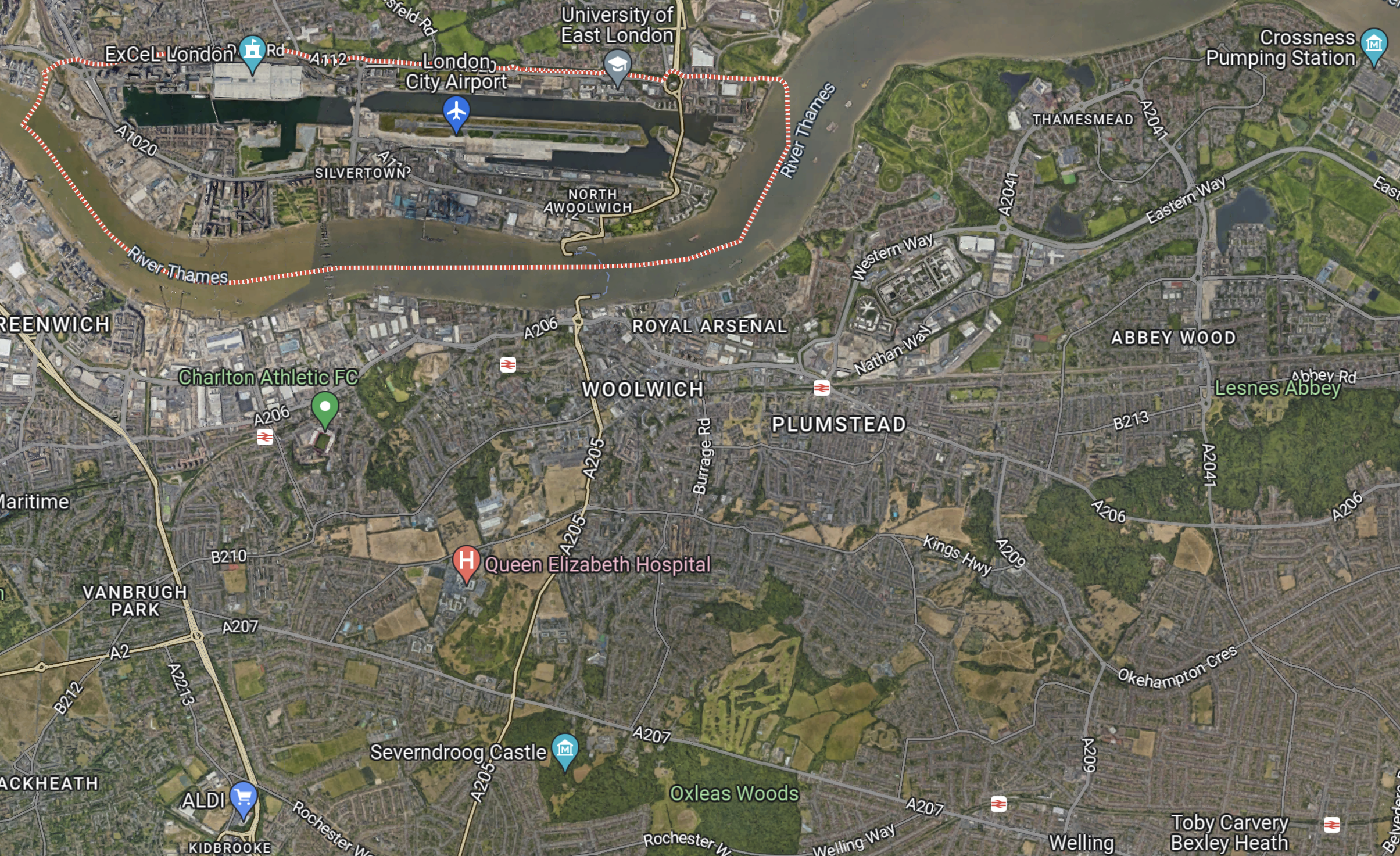
This Google Map shows the Royal Docks.

Note.
- The dotted red line indicates the Royal Docks.
- The runway of the London City Airport can be seen.
- Custom House station on the Elizabeth Line is served by the Elizabeth Line and the Docklands Light Railway.
This second Google Map shows the Western end of the Royal Victoria Dock.

Note.
- Custom House station is in the North-East corner of the map.
- The Excel is on the East end of the map.
- London City Hall is at the Western end of the Royal Victoria Dock.
- The cable-car to Greenwich connects to the area.
I would suspect that the bus from Walthamstow will terminate close to City Hall and the cable-car.
This Google Map shows the Royal Docks and Bexleyheath.
Note.
- The dotted red line indicates the Royal Docks.
- Bexleyheath station is in the South-East corner of the map.
I wouldn’t be surprised to see the Mayor organise a bus, through his new pet project; the Silvertown Tunnel.
Electric Or Hydrogen
Ideally, the buses will need to be zero-carbon; which means battery-electric or some form of hydrogen power.
Birmingham has a similar series of express routes, that run across the city, which I wrote about in Riding Birmingham’s New Hydrogen-Powered Buses.
I feel that long routes like some of these are should be run with hydrogen-powered buses, because of there longer range.
A Rare Site – Two 141 Buses
I took this picture, this afternoon of a rare site these days – two 141 buses running in convoy.
Nothing seems to be improving and passengers are regularly waiting 15-20 minutes for a 141 bus, when the timetable says it should be 4-8 minutes.
Is Transport for London’s Management Dysfunctional?
Perhaps six years ago, I e-mailed TfL to ask, if the five-digit number displayed on the bus-stop, to get details of how long you will wait for the next bus, could be repeated under the shelter, so that if you are waiting in bad weather you can find out the next bus time without venturing outside.
I got a reply saying they’d look into it.
About a year ago, they changed the instructions on the bus stops and the new posters have a space for the installers to put in the stop number.But have I seen one of these spaces with the number in it? Of course not!
Sounds like one department made a worthwhile change and then didn’t inform those, who would carry it out.
TfL is a dysfunctional operation, that needs a thorough overhaul of management. Starting at the top!
