Heat-Related Hospital Admissions And Deaths In London
I never saw my father ride on a deep Underground line, like the Northern or the Piccadilly, as he always said the air was terrible.
That was despite we lived within walking distance of Oakwood station and his print works was just a hundred metres from Wood Green Underground station.
But then he was a man, who always had a car, when I knew him, so I suppose he felt he better use it.
On one occasion, he took me to the Printing Industries Fair at Earl’s Court, which is just seventeen stops on the Piccadilly Line from Wood Green Underground station, as it still is today.
His route was as follows.
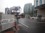
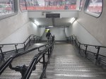
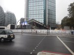
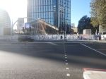
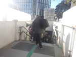
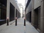
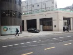
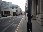
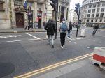
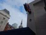
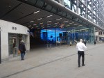
He left his MG Magnette outside the print works on Station Road.
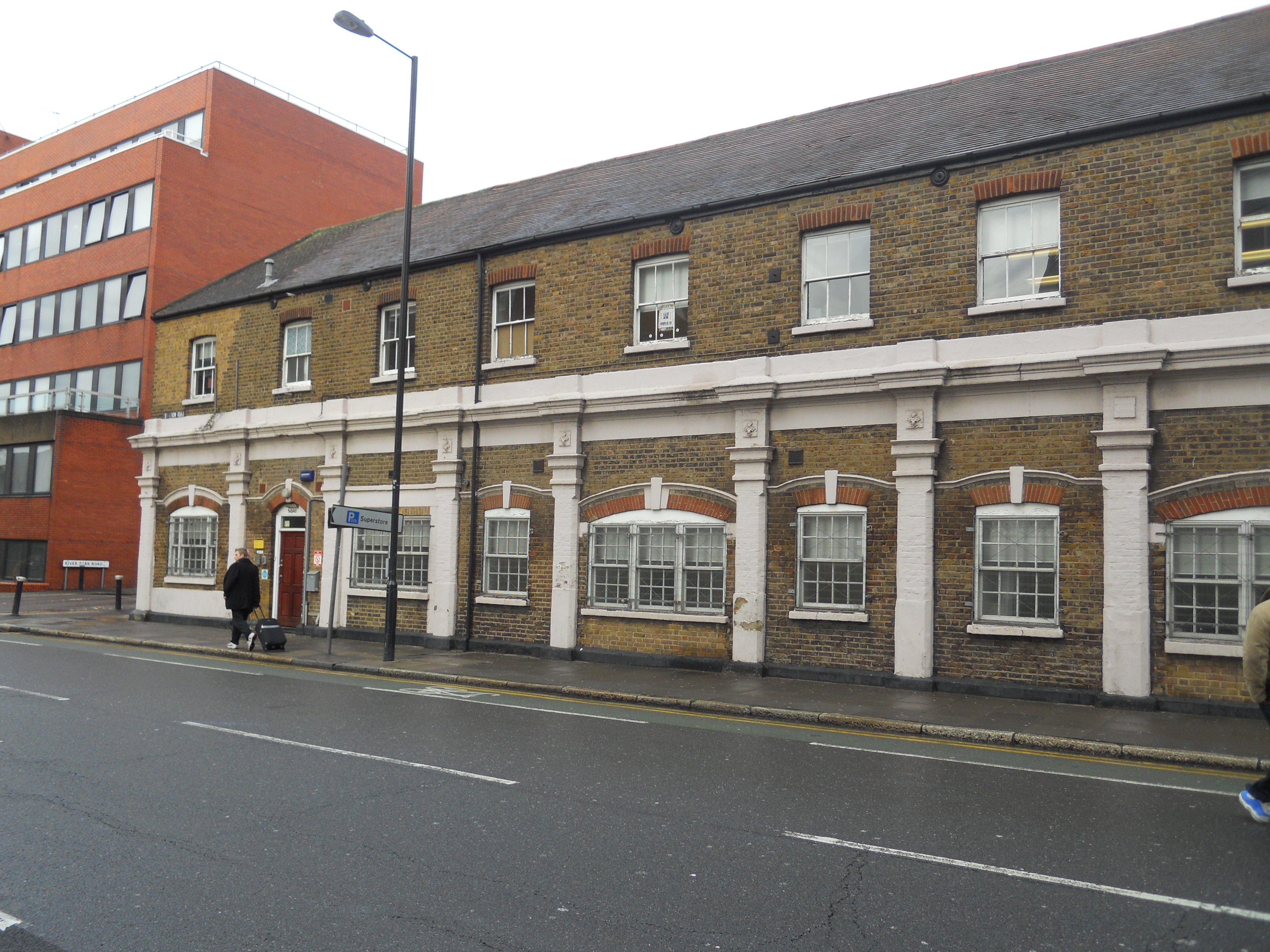
As this picture I took in 2012 shows, parking wasn’t too difficult.
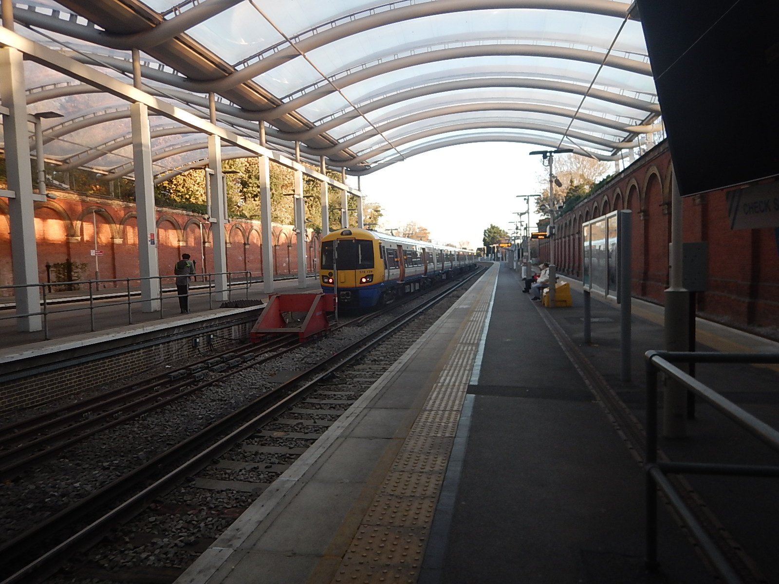
We then walked up the hill to Wood Green station, which is now called Alexandra Palace, from where we took a steam-hauled local train into King’s Cross.
From King’s Cross, we took a Metropolitan Line train to Hammersmith station.
At Hammersmith, we changed stations and then took a train to Baron’s Court station for Earl’s Court Exhibition Centre.
Today, the route between Alexandra Palace and Earl’s Court stations is very different.
- You can change trains at Moorgate, Farringdon or King’s Cross.
- The oldest trains, that you’ll travel on would have been built in 2008.
- All trains will be fully air-conditioned.
I feel, that I could probably get my father to use this route. Although, I doubt it would happen, as he would have turned 120, at the start of this year.
The Growth Of Air Conditioning
Many cars since the 1980s have been airconditioned and now trains are following that route.
In London these are some dates, when trains were air-conditioned.
- Circle, District, Hammersmith & City and Metropolitan from 2008.
- Elisabeth Line from 2017.
- Gospel Oak and Barking from 2019.
- Greater Anglia from 2019/20.
- Lee Valley Lines from 2019.
- London Midland from 2023.
- London Overground from 2009.
- Southern from 2003.
- Southeastern from 2003.
- Thameslink from 2014.
Each year, more and more trains will be air-conditioned.
Conclusion
Has this growth of air-conditioning reduced the number of cases of heatstroke and other heat related admissions to hospitals?
London Overground Train Makes Rare Diversion To London Bridge Station
The title of this post, is the same as that of this article on Ian Visits.
This is the sub-heading.
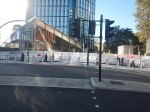
On Sunday morning, a London Overground train paid a visit to London Bridge station — a station that the Overground doesn’t usually visit.
These were the first two paragraphs.
It was here for a test run ahead of a special service that will run on Easter Sunday, and the test was needed to ensure that what worked on paper also worked in practice.
The reason for the Easter Sunday special is weekend engineering works elsewhere which would mean no Southern trains between Victoria and London Bridge, while at the same time, the London Overground south of the river can’t go north.
Note.
- Judging by Ian’s pictures, it was a very thorough test of clearances and ramp functions.
- According to Real Time Trains, the two services used platform 5 at Crystal Palace and Platform 13 at London Bridge.
- The distance was 7.5 miles.
- Services took 23 minutes to London Bridge and 19 minutes for the return.
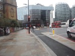
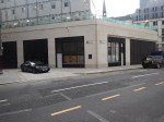
This image shows a London Overground train in Platform 5 at Crystal Palace station.
In Overground To London Bridge Under Consideration, I talked about how Transport for London were thinking about creating a new Overground service between London Bridge and Crystal Palace.
Sunday’s test also shows that if the paths are available, London Overground can run a service between London Bridge and Crystal Palace.
Given that the times for the out and return trips were 23 and 19 minutes on Sunday, it appears to me, that the following is possible.
- One train could run an hourly service.
- Two trains could run a two trains per hour (tph) service.
Trains could terminate in platform 3, which is on the right in the image and only has two trains per day.
There would be the following trains to London from Crystal Palace.
- London Overground – Four tph to Canada Water, Whitechapel and Highbury and Islington.
- London Overground – Two tph to London Bridge
- Southern – Two tph to London Bridge
- Southern – Four tph to London Victoria
These would total to.
- Canada Water – four tph for Jubilee Line
- Highbury & Islington – four tph for Victoria and North London Lines
- London Bridge – four tph for Thameslink, Jubilee and Northern Lines
- London Victoria – four tph for Victoria, Circle and District Lines
- Whitechapel – four tph for Elizabeth, Victoria, Circle, District and Hammersmith & City Lines
Note.
- The two extra tph to London Bridge even everything up to four tph.
- The London Bridge and Crystal Palace service could be run by any suitable train and I suspect it could be eight cars. What about using some of the spare Class 379 trains?
The London Bridge and Crystal Palace service wouldn’t need trains with a tunnel evacuation capability, so could use Class 378, 379, 387 or 710 trains.
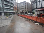
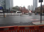
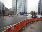
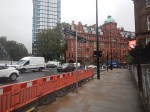
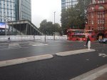
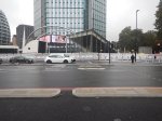
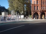
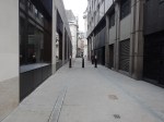
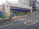
Lights And Signs In Old Street Roundabout
London’s slowest construction project seems to have been making a bit of progress as more traffic lights are working and signs have been erected.


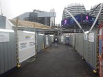
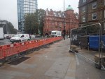

Note.
- There’s still a fair bit to do in the middle of the roundabout.
- There is a notice saying it will be finished in early 2024.
- I suspect, that if the bus stops are placed for the benefit of passengers, it will add more passengers to the 141 buses.
But I can’t wait for it to be finished, as it will ease my journeys to the Elizabeth Line. But only because the bus I take gets stuck in all the traffic at the roundabout.
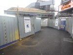
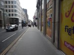
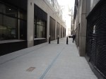
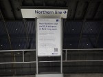
Two days after I took the first pictures, I took these, as I used the Northern Line to go from Old Street station to King’s Cross St. Pancras station.


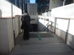
Note.
- The tunnel and lift need to be completed.
- The walk wasn’t difficult except for the rubbish outside the fast-food shops.
- But then the streets of Islington are paved with rubbish.
- I’m now more convinced that this route opens fully, it’ll increase passengers on the 141 buses.
- But then what does SadIQ Khan and his useful idiots know about mathematical modelling?
Moorgate To Charlton Via Cannon Street
I needed to go to Charlton station this morning to take a couple of photographs for a possible blog post.
- I had had my usual breakfast in LEON on Moorgate, so I started from Moorgate station.
- I took the Northern Line one stop to Bank station.
- It was then straight up the double escalators.
- I followed this by a brisk walk along Cannon Street.
The total time between entering Moorgate station and sitting on my train at Cannon Street station was about ten minutes.
One of London’s more difficult stations to access now has a North-South Underground line, to go with its East-West line.
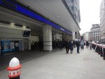
Is The Nightmare On The Buses Going To Get Worse?
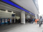
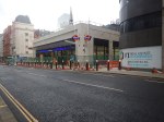
This morning after photographing the finish of the Bank Station Upgrade, I walked down the side of the new Cannon Street entrance to catch a 141 bus from King William Street to my home.

Note.
- There are two bus stops for the 21, 43 and 141 buses on King William Street; one Northbound and one Southbound.
- The bus stops are a two minute level walk from the gate-line at the Cannon Street entrance.
- To go between the gate-line and the Northbound stop requires no crossing of any road, but the route to the Southbound stop requires the use of a light-controlled crossing.
- The Cannon Street entrance is step-free and only a short walk, between the street and the platforms of the Docklands Light Railway and the Northern Line.
- The access to the Central Line is also easy, but a longer walk.
This afternoon, I walked the other way from the Southbound bus stop on King William Street to the new Cannon Street entrance of Bank station.
Note.
- It is a totally level walk.
- There are lights to help the crossing of King William Street.
- The concrete building on the other side of King William Street is the other end of the new station entrance.
- It looked to me, that there was a retail unit in the corner of that building. This was confirmed by station staff and it would surely be an ideal place for an upmarket takeaway.
- The building on the corner of Cannon Street and King William Street is a set of shared offices. Again it is in a prime position.
- You can also walk from the bus stop to the main Monument station entrance.
I timed myself from the Southbound stop on King William Street to the various platforms.
- Central Line – Under five minutes
- Dockland Light Railway – Under four minutes
- Northern Line – Under three minutes
Will these times encourage passengers to use the new entrance and its buses to North London?
If I was looking for offices for a foreign company, that wanted to be in the City, as I do occasionally for an American attorney, I would start in this area.
Step-Free Access On The Northern Line Is Rather Variable
If you look at the step-free access on this section of the Northern Line, you find the following.
- Euston – Escalators – No Lifts until High Speed Two
- King’s Cross – Escalators – One Lift to platform
- Angel – Escalators – No Lifts – Medium walk to the buses
- Old Street – Escalators – No Lifts – Medium walk to the buses
- Moorgate – Escalators – Long Lift route – Medium walk to the buses
- Bank (North) – Escalators – Lots of Steps – Medium walk to the buses
- Bank (Cannon Street) – Escalators – Two Lifts to platforms – Short walk to buses
- London Bridge – Escalators – One Lift to platform – Steps to buses
Note.
- If I was going between My House and the Northern Line South of Bank station, I’d change between the 141 bus and the Northern Line at the Cannon Street entrance to Bank station.
- Alternatively, I can take a 38 bus to the Angel and join the route there. But that route can be very slow coming North, as there is a lot of walking. Going South, it’s also likely to be blocked by a Tesco truck at the Angel.
- Between My House and the Docklands Light Railway, I’d change from the 141 bus at the Cannon Street entrance to Bank station.
- I might even take that route, if I wanted the Central Line out of Bank.
It does appear that as the new Cannon Street entrance to Bank station has been well-designed with full step-free access and short walks to the bus stops, that it will be the interchange of choice for many travellers to and from the area, who are using the buses.
Conclusion
I feel that a lot of passengers from North London will use the 21, 43 and 141 buses to access the Central and Northern Lines, and the Docklands Light Railway using the new Cannon Street entrance to the Bank station complex.
I very much feel that all three bus routes will have a lot more passengers, so the Nightmare On The Buses, is likely to get worse.
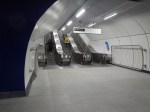
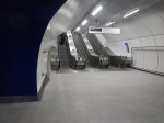
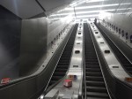
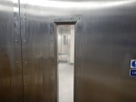
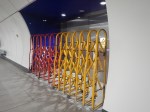
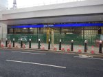
Into The Realm Of The Rabbits
The completed Bank Station Upgrade opened today and I went and took these pictures of what is now a rabbit warren of a station.
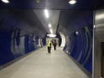
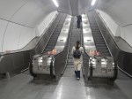
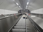
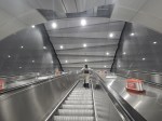
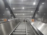
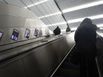

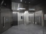

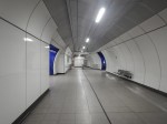
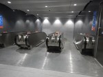
Note.
- There are now three cross passages between the two Northern Line platforms.
- There are two lifts between Cannon Street and the Northern Line and one extends to the Docklands Light Railway.
- The Northern Line and Cannon Street are now connected by two sets of three very long escalators.
- I took a walk to Cannon Street, whilst taking this pictures and from leaving the new entrance to being on a train out of Cannon Street, took mt five minutes.
- After photographing the station, I walked to the bus stop for the 141 bus, which took me home. As there is now a new passage between the gate-line and the bus stop, it took just two minutes.
The new Cannon Street entrance is a practical, stylish and well designed and built addition to the Bank station complex.
I would let the same architects and builders loose on Camden Town, Holborn and Oxford Circus/Bond Street stations.
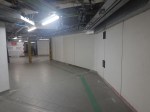
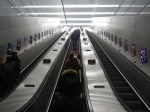
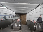
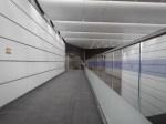
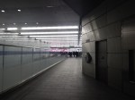
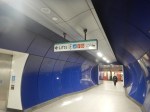
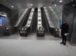
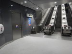
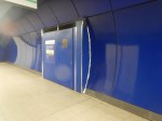
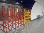
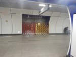
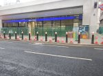
Another Door Opens At Bank Station
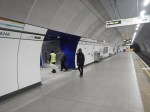
I took these pictures at Bank station this morning in the Southernmost tunnel between the Northern Line platforms.
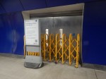
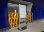
You can just about see the lift doors through the windows in the steel fire doors.
It can’t be long now before the Cannon Street Entrance to Bank station opens.
East London Is A Duckers And Divers Paradise
This is the East End Tube Map, which I clipped off the full tube map.
I live just South of the East London Line between Canonbury and Dalston Junction stations.
Today started just after nine, as many others do by braving the nightmare on the buses to take a 141 bus to Moorgate.
- At Moorgate, I had breakfast as I do regularly in the Leon, by Moorgate station.
- After breakfast, it was one stop South on the Northern Line to Bank, to see if the new entrance had opened.
- It was then a trip on the new moving walkway to the Central Line.
- I took the Central Line to Stratford to do my main shopping at the start of the week, in the large Marks and Spencer in Eastfield, by the station entrance.
- It was then on to the North London Line to go back home.
- I didn’t go all the way home on the Overground, but got off the train at Hackney Central and using the new Graham Road entrance, I crossed to get a 38 bus, which would take me home.
- But two 38s passed as I tried to cross the road and in the end I took a 277 bus to Dalston Junction station.
- From the Junction, I got a 56 bus home.
I got home about eleven.
At least now, I’ve got food until Thursday!
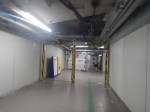
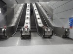
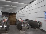
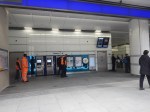
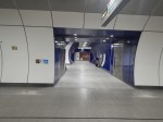
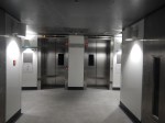
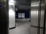
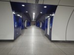
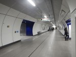
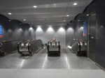
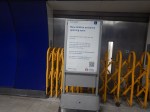
Bank Station Upgrade – 11th February 2023
I took these pictures as I passed through Bank station this morning.
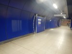
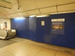
The central passageway between the two Northern Line platforms appears to be complete with the standard heavy steel fire-doors.
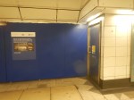
I also took these pictures of the new Cannon Street entrance.
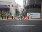
Note the passage running up the side of the station to King William Street.
Chatting to staff I got two different stories about the opening.
- One said it will open on Friday.
- Another said there would be testing earlier in the week to decide when it opens.
But those two stories would fit.
Thoughts On Extending The Northern Line To Clapham Junction
As I wrote in Northern Line Could Be Extended To Clapham Junction In Regeneration Plans, the extension of the newly-built extension to Battersea Power Station station could be further extended to Clapham Junction station.
Railways Between Battersea And Clapham
This map from OpenRailwayMap shows the tracks that run between the two stations.

Note.
- Battersea Power Station station is in the North-East corner of the map.
- The orange and yellow lines going North from that corner go to Victoria station.
- The orange and yellow lines going North-East from that corner go to Waterloo station.
- The yellow line going West is the West London Line to Shepherds Bush and Willesden Junction stations.
- Clapham Junction station is in the South-West corner of the map.
I estimate that the distance between Battersea Power Station and Clapham Junction stations is about three kilometres.
This map from OpenRailwayMap shows an enlargement of the tracks around Battersea.
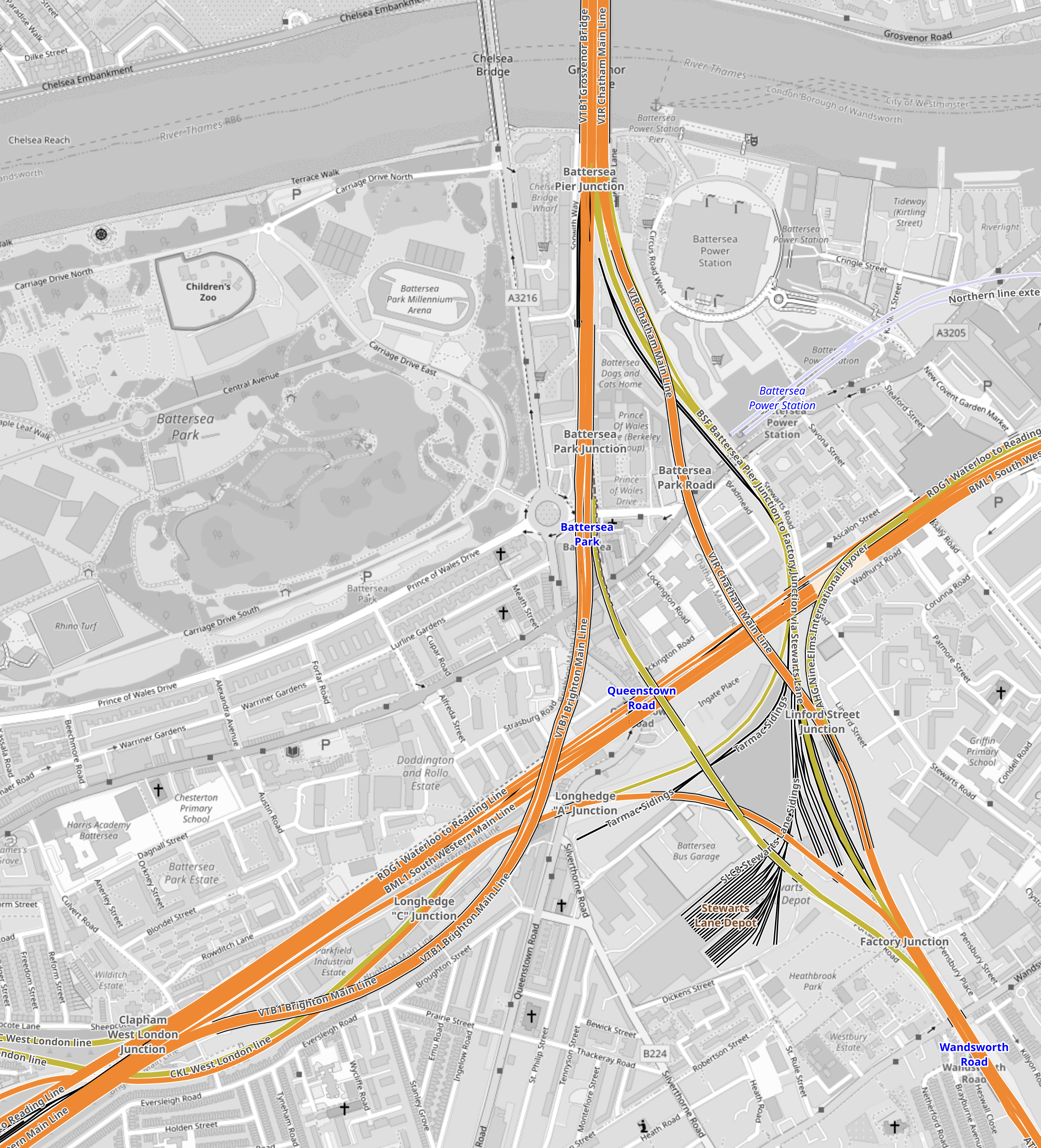
Note.
- The tracks going North over the River to Victoria station.
- The tracks going East to Waterloo station.
- The tracks going South West to Clapham Junction station.
- The tracks from Victoria pass over and then join the tracks from Waterloo to continue to Clapham Junction station.
Battersea Power Station station can be seen to the North-East of the junction.
This map from OpenRailwayMap shows an enlargement of the tracks around Battersea Power Station station.
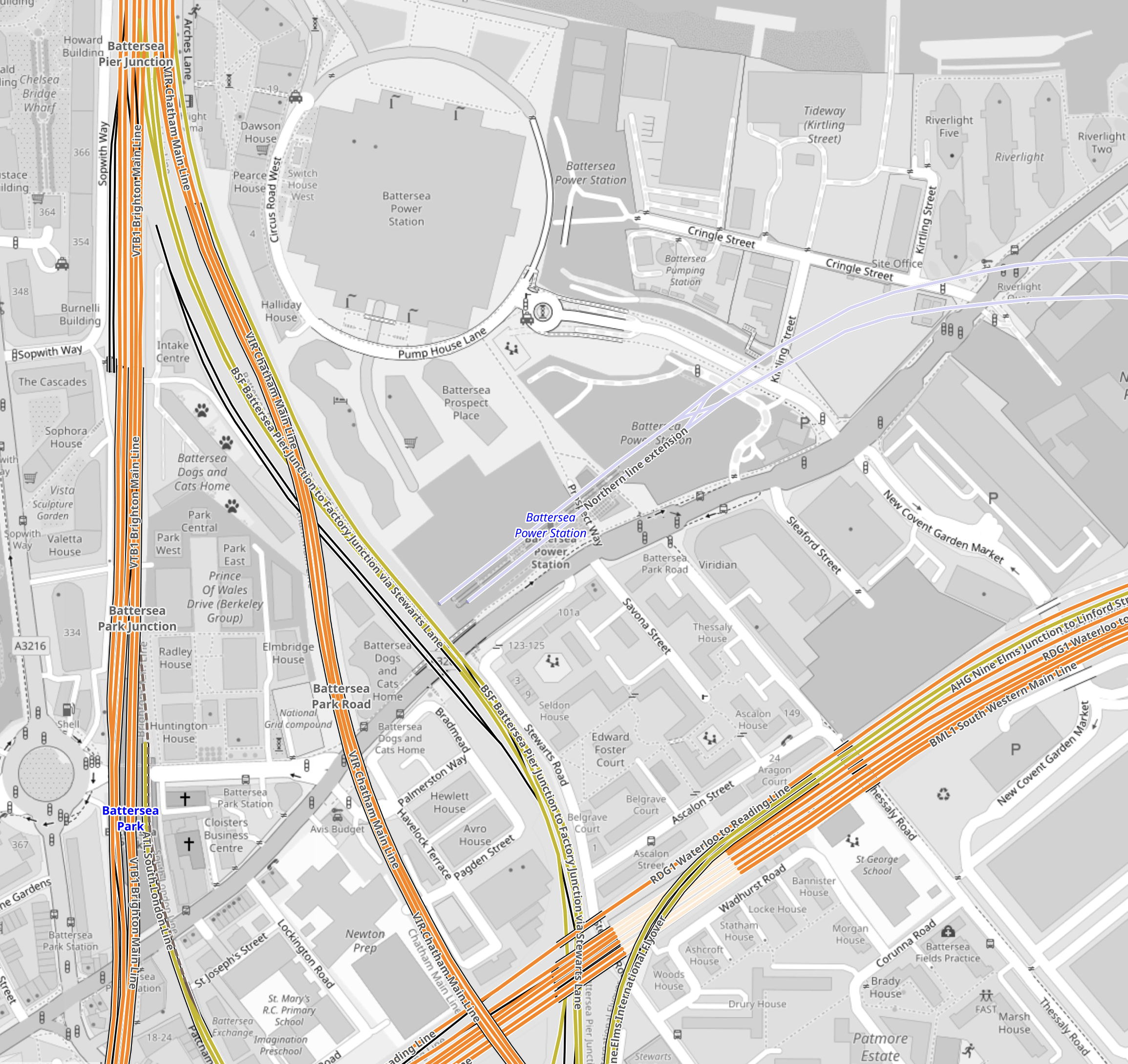
Note how the tracks go through Battersea Power Station station and terminate just before the lines into Victoria station.
It should also be noted that the platforms at Battersea Power Station station are reached using two sets of escalators, so they could be over forty metres below the surface. This would surely make the construction of tower blocks with deep foundations easier over the Northern Line.
But the depth would also enable an extended Northern Line to be below any existing or future construction.
This map from OpenRailwayMap shows the approaches to Clapham Junction station.
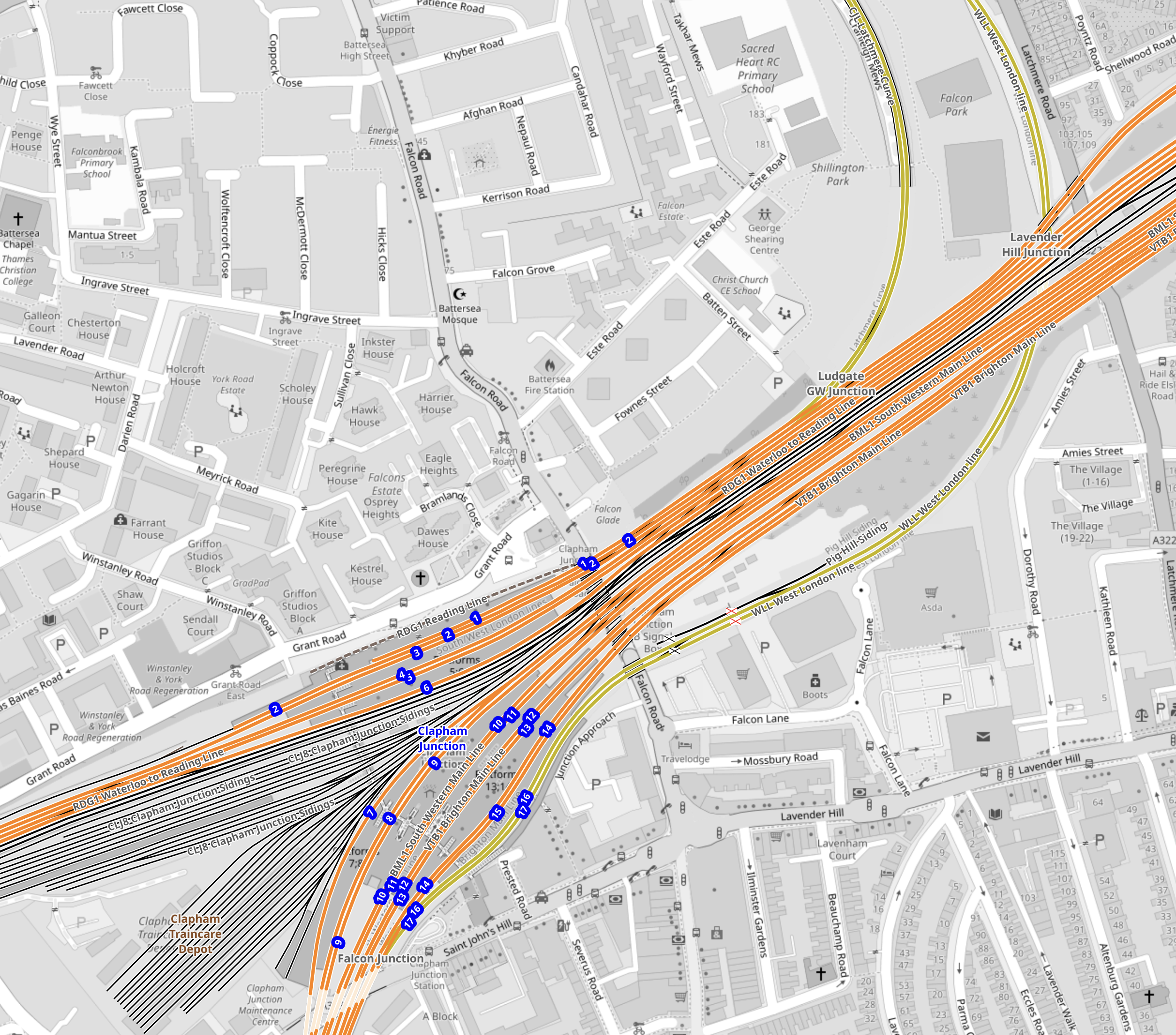
There are certainly a lot of tracks through Clapham Junction station.
Reasons For The Extension Of The Northern Line To Clapham Junction
These reasons come to mind.
To Enable Development In The Area
This is always a good reason.
In Network Rail To Outline Business Case For Clapham Junction Redevelopment, I said this.
The Rail Technology Magazine article talks of decking over the whole station and putting two million square feet of development on top. But it also cautions, it would be very expensive.
With that amount of development, there would be a need for as many transport links as possible.
To Improve Access To The Elizabeth Line For Passengers On Trains To And From Victoria
Victoria station does not have an Underground Line, that connects to easily the Elizabeth Line.
The best route to use is described in The Lizzie Line And Circle/District Line Interchange At Paddington – 1st July 2022, where you use the Circle to Paddington.
- To go to the West on the Elizabeth Line, take the Circle/District Line to Paddington.
- To go to the East on the Elizabeth Line, take the District Line to Whitechapel.
- To go to Liverpool Street take the Circle Line all the way.
Getting to the stations between Paddington and Liverpool Street means a change at either of those stations.
At Waterloo, you can use the Northern Line, which has a direct connection to Tottenham Court Road on the Elizabeth Line.
Connecting to the Northern Line at Clapham Junction will give Victoria-bound passengers, the advantages of those going to Waterloo.
An Alternative Way Of Connecting Victoria To The Elizabeth Line
The lack of an easy connection between the Victoria and the Elizabeth Line is a pain and I believe that it was a major omission in the design of the Elizabeth Line.
- Dear Old Vicky has a frequency of upwards of thirty trains per hour (tph)
- With some improvements at stations like Oxford Circus, Highbury & Islington and Walthamstow Central, the line could handle some more passengers.
- More step-free access would also help increase capacity.
- Engineers are a competitive bunch and I could see the day, when Vicky is running at 40 tph.
If Vicky was running at forty full tph, it would be moving 45120 passengers per hour.
This would mean that to match the passenger capacity of the older line, the Elizabeth Line would have to be running at a frequency of thirty tph.
As passengers at the ends of the line have difficulty getting to places like Paddington and Heathrow, a connection between the two Queens would really help.
Vicky was universe-class in the 1960s and now she needs updating to the 21st Century.
This map from cartometro shows the Lines through Bond Street and Oxford Circus stations.
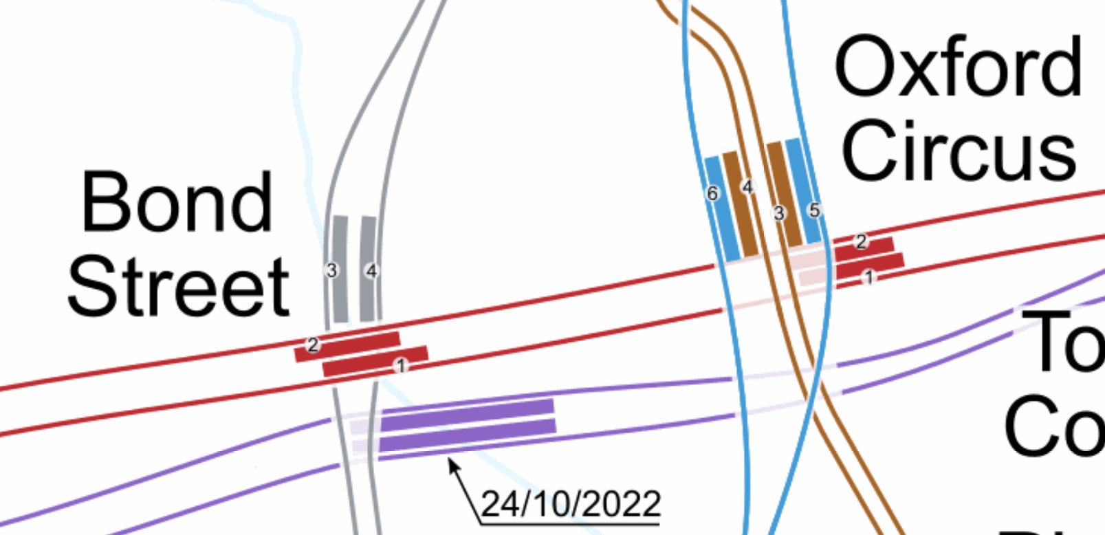
Note.
- The Bakerloo Line is shown in brown.
- The Central Line is shown in red.
- The Elizabeth Line is shown in purple.
- The Victoria Line is shown in light blue.
- The Elizabeth Line is the deepest line.
In addition, consider.
The Eastern exit of the Elizabeth Line at Bond Street station has three escalators and lifts. It also opens onto Hanover Square, so it won’t suffer from overcrowding problems outside.
- Hanover Square is just a garden, with no car park underneath, so pedestrian tunnels could pass under it
- I also suspect there are no existing or planned buildings between the two stations with deep foundations that would block a pedestrian tunnel.
- With the capability and ingenuity of three-D design software, I can see wide tunnels being created that would link Oxford Circus and the two Bond Street stations.
- The new wide tunnels at Bank station have opened up the station’s capacity and all the tunnels were dug traditionally.
- If it was felt to be needed, moving walkways could be added, just as they have been at Bank station.
I am absolutely sure, that by using the ideas and methods, that have worked so well in the upgrade of Bank station, that Oxford Circus and Bond Street stations could be turned into a London Superhub Station, that connects all the Underground lines together and has entrances all over the area.
The benefits of such a station would be.
- It would provide a high-capacity link between London’s two highest-capacity Underground Lines; Elizabeth and Victoria.
- It would provide a high-capacity link between the Elizabeth Line and Euston, St. Pancras and King’s Cross.
- It would provide a high-capacity link between the Elizabeth Line and Victoria.
- It would provide a high-capacity link between the Elizabeth Line and High Speed Two.
- Areas like Brixton, Haringey and Walthamstow would gain a much needed link to the Elizabeth Line for Heathrow and Paddington.
Wikipedia says this about the building of the Bank Station Upgrade.
As part of the development of the scheme, TfL worked with potential bidders to improve the design of the station from TfL’s original design. The design proposed in the winning bid by Dragados was 9.7% cheaper than the original design (saving TfL £60m), took 10 months less time to construct than the original design (the proposed closure of the Northern line was also 5 weeks shorter), and the layout of the station was more efficient. This substantially improved the benefit–cost ratio by 45% to 3.5:1.
The Mayor should be knocking on the door of Dragados and asking them for a price for a design and build for a West End Superhub station.
A Possible Route For The Extension Of The Northern Line To Clapham Junction
I suspect that the simplest route for the extension of the Northern Line would be to bore or dig a twin-track railway underneath the numerous other railways in the area.
It could terminate in two underground platforms at Clapham Junction station.
This is the first map of this post and it shows the tracks that run between the two stations.
Note.
- Battersea Power Station station is in the North-East corner of the map.
- Clapham Junction station is in the South-West corner of the map.
The Western of the pair of orange Lines going off the map in the North-East corner of the map is the Brighton Main Line.
It passes through Battersea Park station.
It passes over the South Western Main Line out of Waterloo.
It then loops to the West and joins the lines to Clapham Junction on the Southern side.
It serves four platforms at Clapham Junction; 12 and 14 are up platforms and 13 and 15 are down platforms.
This Google Map shows an overview of Clapham Junction station.
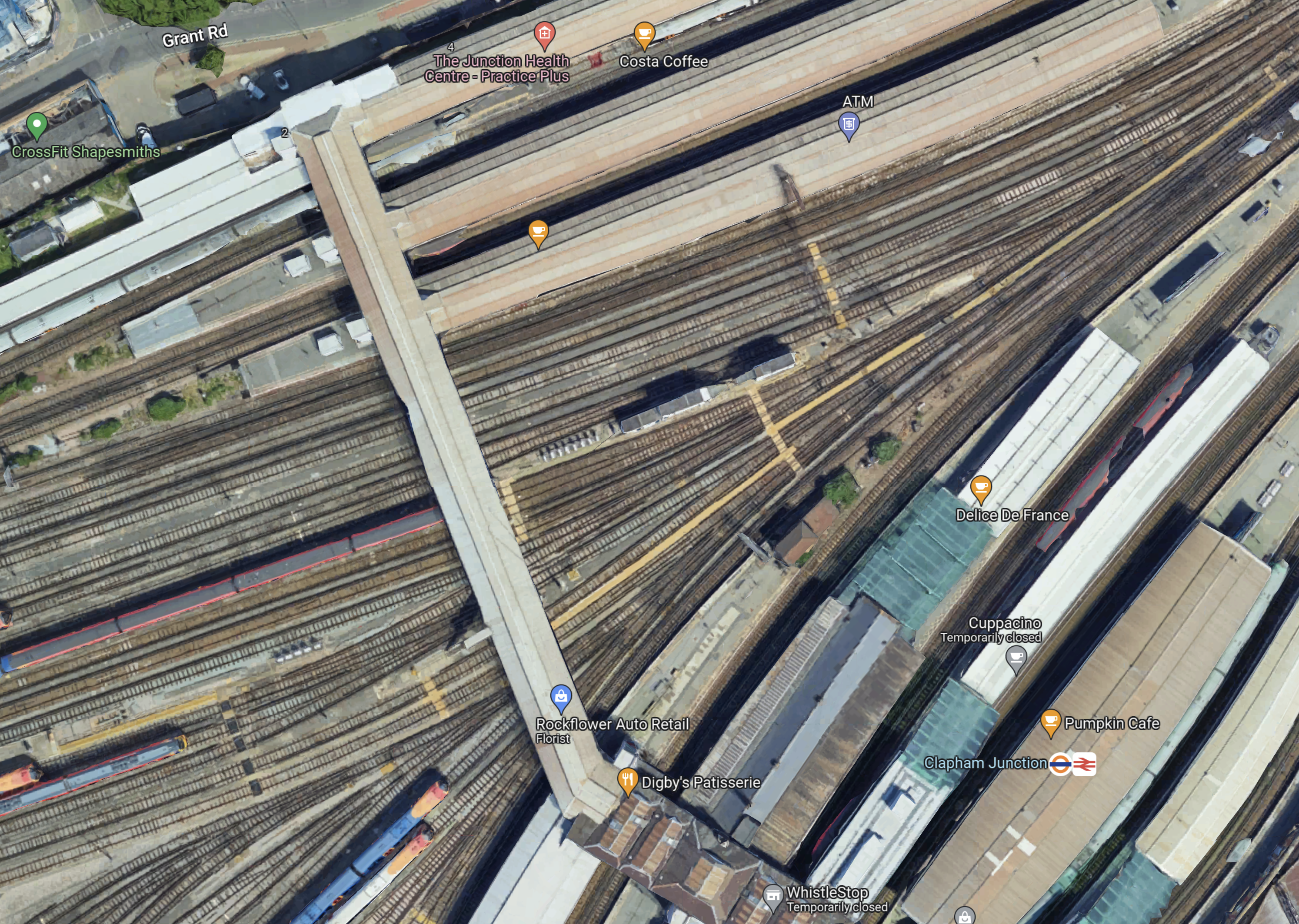
Note.
- Platforms 1 and 2 at the top of the map, handle London Overground services.
- Platforms 3 to 11 handle South Western Train services.
- Platforms 12 to 17 handle Southern services.
- Platforms 9 and 10 have a Delice de France cafe.
- Platforms 11 and 12 have a Cuppacino cafe.
- Platforms 13 and 14 have the logos.
- All platforms have full step-free access with lifts to the wide footbridge that connects all platforms.
The platforms don’t seem to be very wide and putting stairs and escalators down to underground platforms could be a difficult proposition.
This map from OpenRailwayMap shows shows the platforms at Clapham Junction station and the track layout to the West of the footbridge.
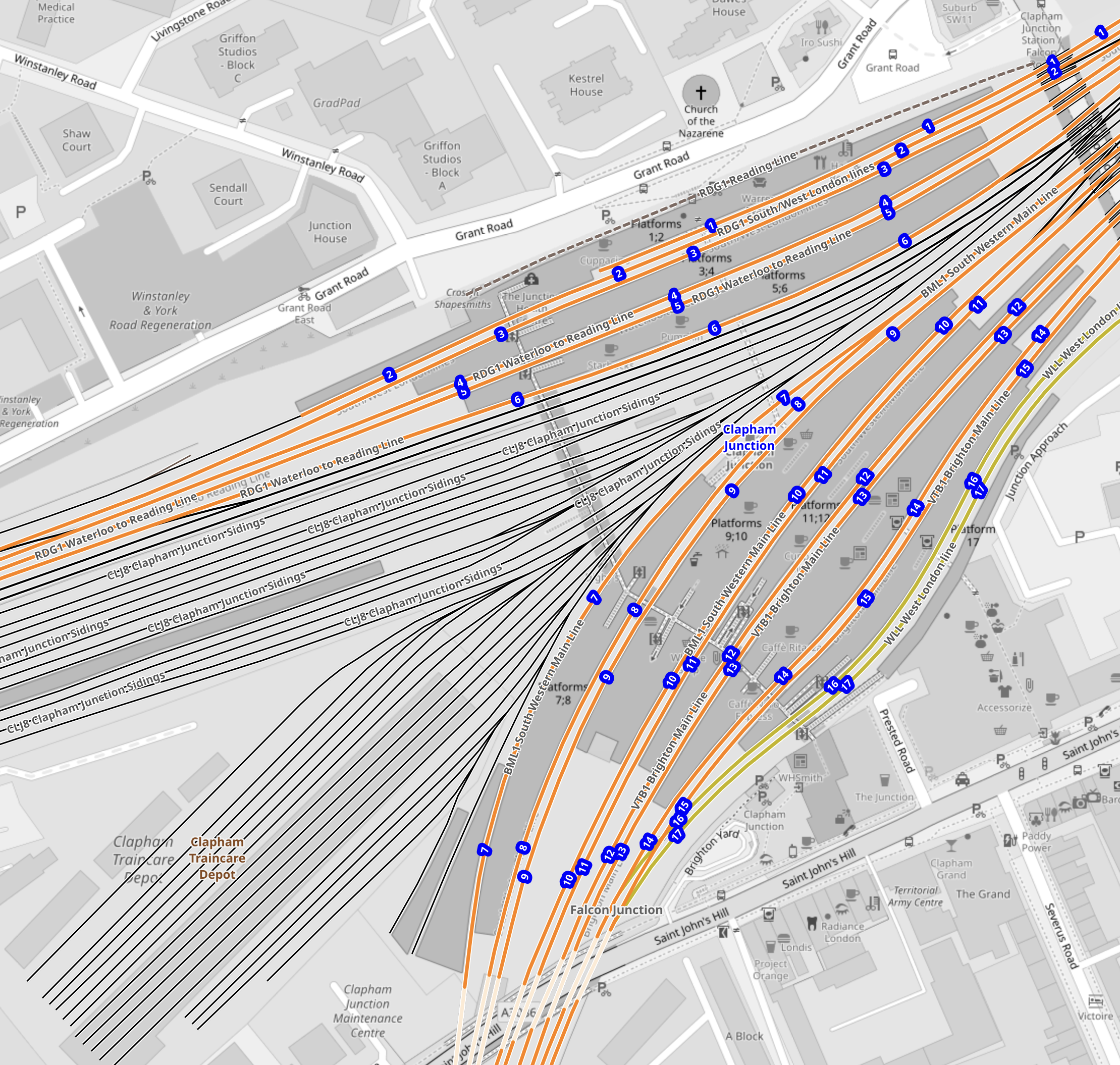
Note.
- The tracks through the platforms are shown in orange.
- The blue dots are platform numbers.
- The bridge connecting all the platforms is shown shaded in the middle of the map.
- To the West of the bridge are Clapham Junction Sidings and Clapham Traincare Depot.
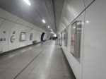
These pictures were taken from the bridge.
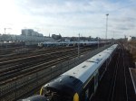
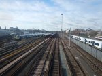
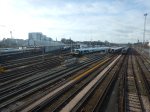
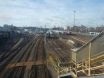
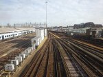
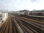
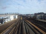
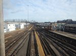
Note.
- The top row of pictures were taken looking West.
- The bottom row of pictures were taken looking East.
- Many of the tracks are electrified.
- There is a lot of space to park trains.
Will all the space be needed now, that a new depot has been built at Feltham.
Could Two New Surface Platforms Be Built For The Extension Of The Northern Line To Clapham Junction?
Consider.
- The step-free bridge across all the platforms at Clapham Junction station works well.
- It is connected to the streets around the station at both ends.
- Clapham Junction station will be redeveloped and surplus depot land could be used for housing.
- As the maps show, there is a large gap in the platforms between the South Western Railway and the Southern sides of the station.
- As Battersea Power Station station can turn services on the Northern Line with only two platforms, there would only need to be the same number of Northern Line platforms at Clapham Junction.
So could an extra pair of platforms be built under the bridge, with stairs and a lift similar to the existing platforms?
- The platform would have full step-free access.
- The platforms could be long enough for any future trains.
- There could be sidings for a few trains.
- The tunnels from Battersea Power Station would surface just outside the station.
- There would need to be a crossover or a turnback siding for operational reasons.
I also think, that once the depot and sidings at Clapham Junction have released the space, the new platforms and tracks could be installed without interrupting main line services through the station.
Would The Extension Of The Northern Line Be Electrified?
Consider.
- Merseyrail were not allowed to use third-rail electrification to Headbolt Lane station and had to use batteries.
- The Northern Line was extended to Battersea Power Station station using London’s four-rail electrified system.
- Clapham Junction station has third-rail electrification everywhere.
I think that the authorities would be very churlish not to allow electrification to Clapham Junction.
Conclusion
I believe it is possible to extend the Northern Line to two new surface platforms at Clapham Junction station.
But I also believe that using similar methods to those used in the Bank Station Upgrade, that a full interchange between the Elizabeth and Victoria Lines can be built at Oxford Circus and Bond Street.
.
