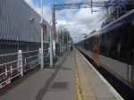
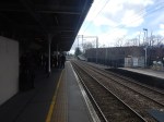
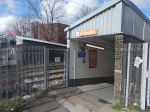
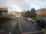
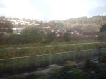
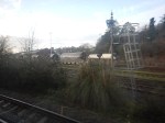
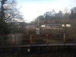
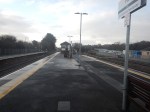
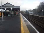
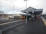
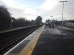
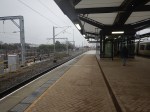
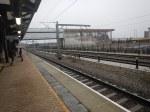
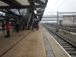
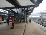
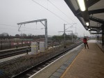
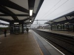
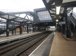
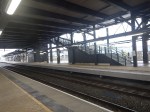
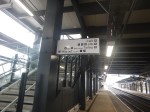
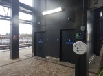
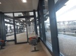
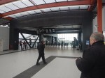
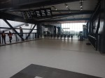
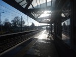
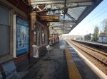
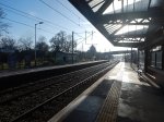
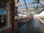
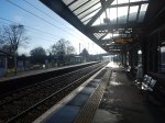
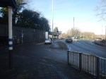
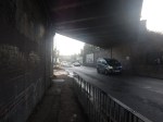
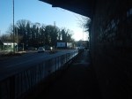
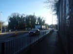
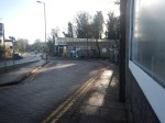
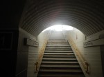
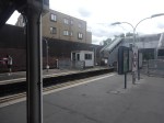
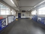
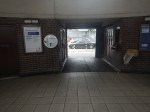
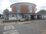
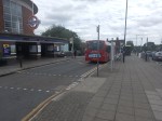
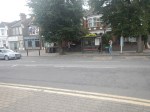
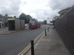
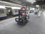
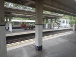
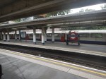
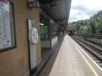
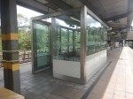
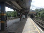
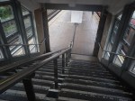
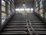
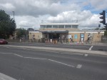
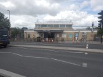
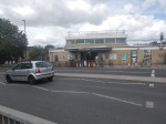
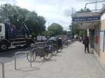
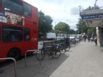
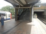
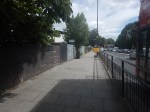
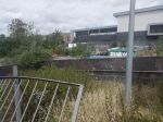
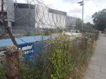
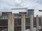
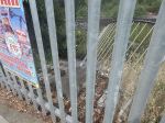
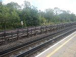
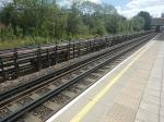
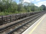
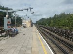
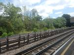
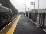
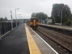
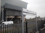
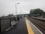
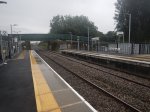
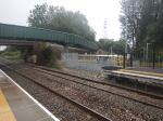
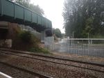
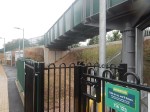
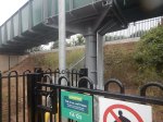
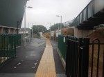
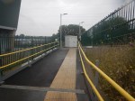
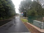
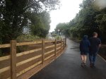
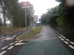
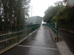
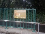
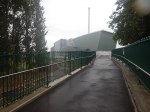
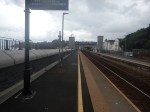
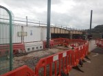
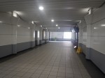
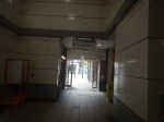
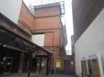
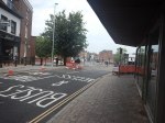
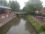
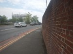
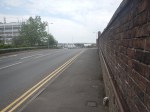
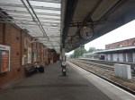
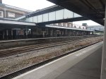
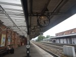
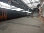
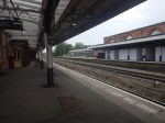
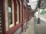
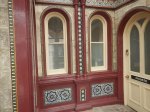
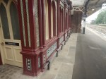
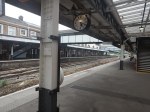
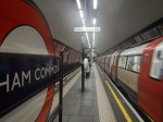
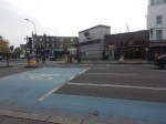
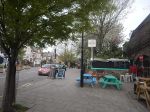
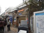
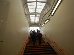
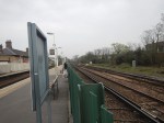
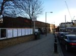
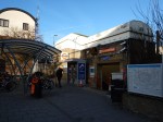
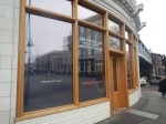
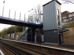
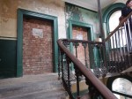
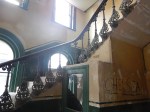
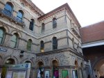
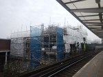
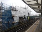
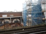
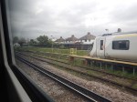
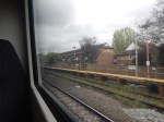
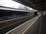
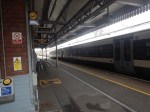
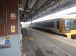
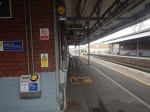
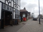
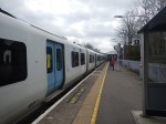
A Trip To Highams Park Station
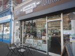
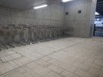
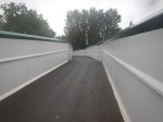
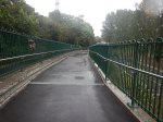
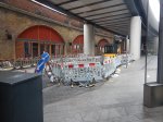
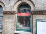
I went to Highams Park station, as the Internet rumoured, that there could be gluten-free jam doughnuts near the station, at a shop called the Community Larder.
I took these pictures.


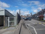
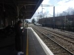
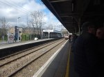
Note.
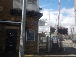
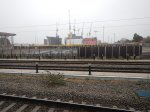
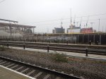
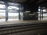
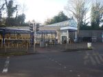
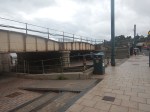
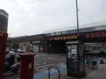
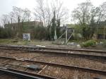
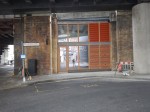
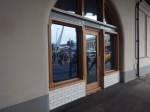
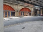
- The restored signal box, that I talked about in An Unusual Office Property has been used as a creperie. Unfortunately, it appears to have gone out of business.
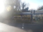
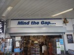
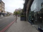
- The Community Larder had a good selection of cakes, including some that were gluten-free, but no gluten-free jam doughnuts, as they are delivered on Saturdays.
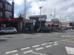
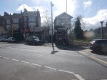
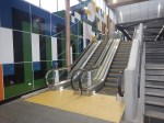
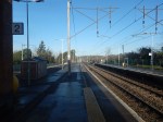
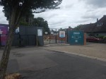
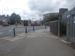
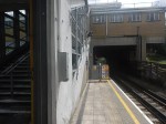
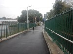
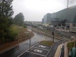
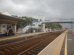
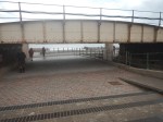
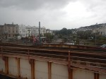
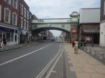
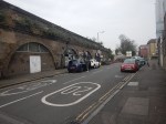
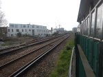
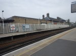
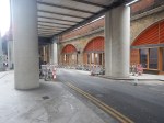
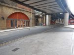
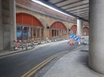
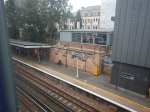
- Crossing the roads by the level crossing is a nightmare.
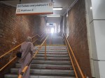
- The station needs a step-free bridge.
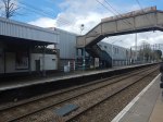
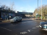
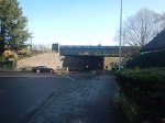
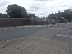
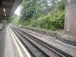
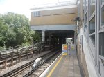
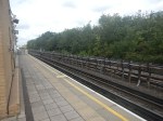
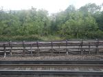
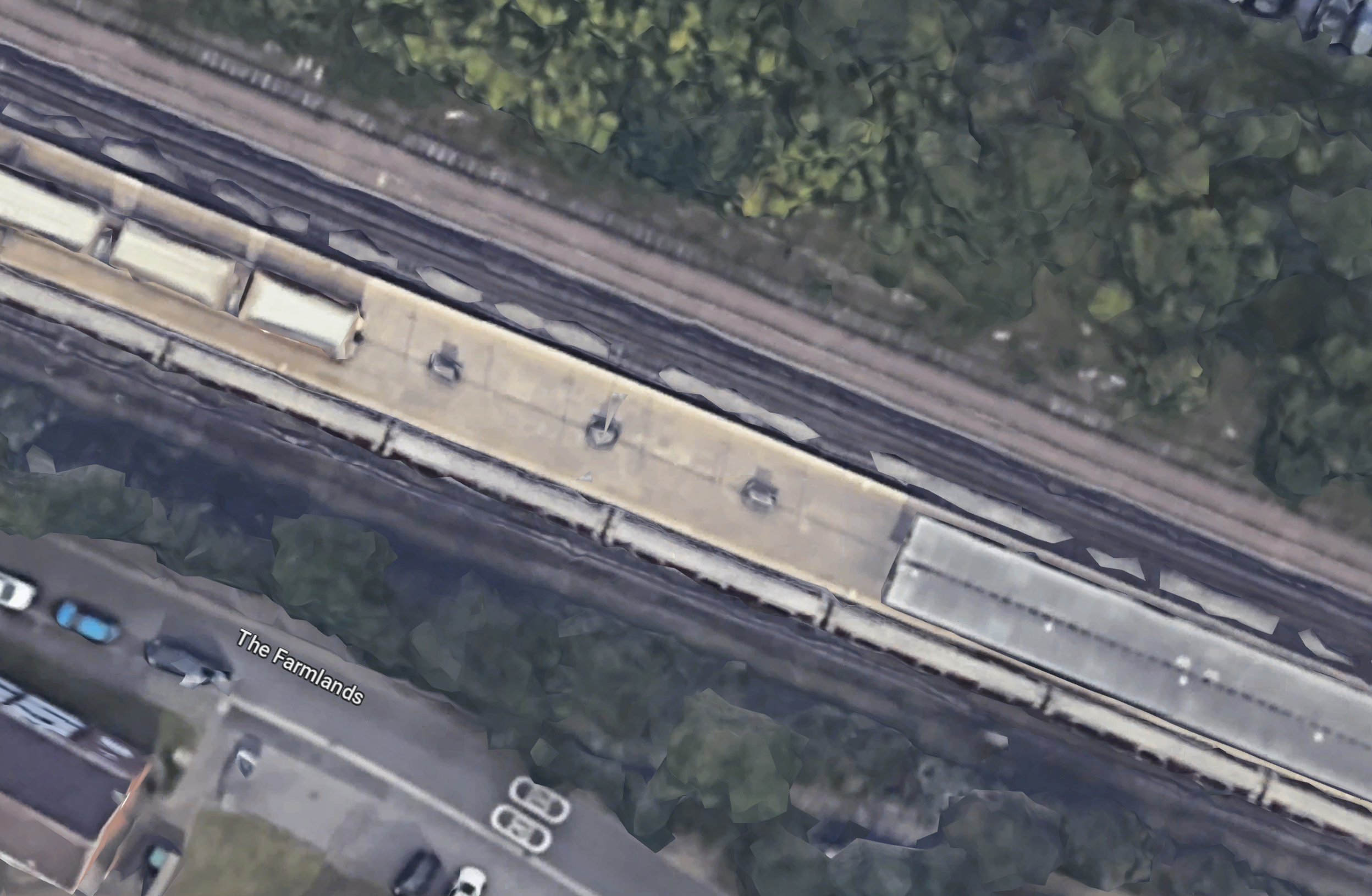
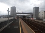
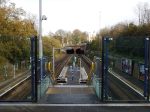
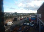
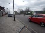
The 3D Google Map shows the level crossing looking from the East.
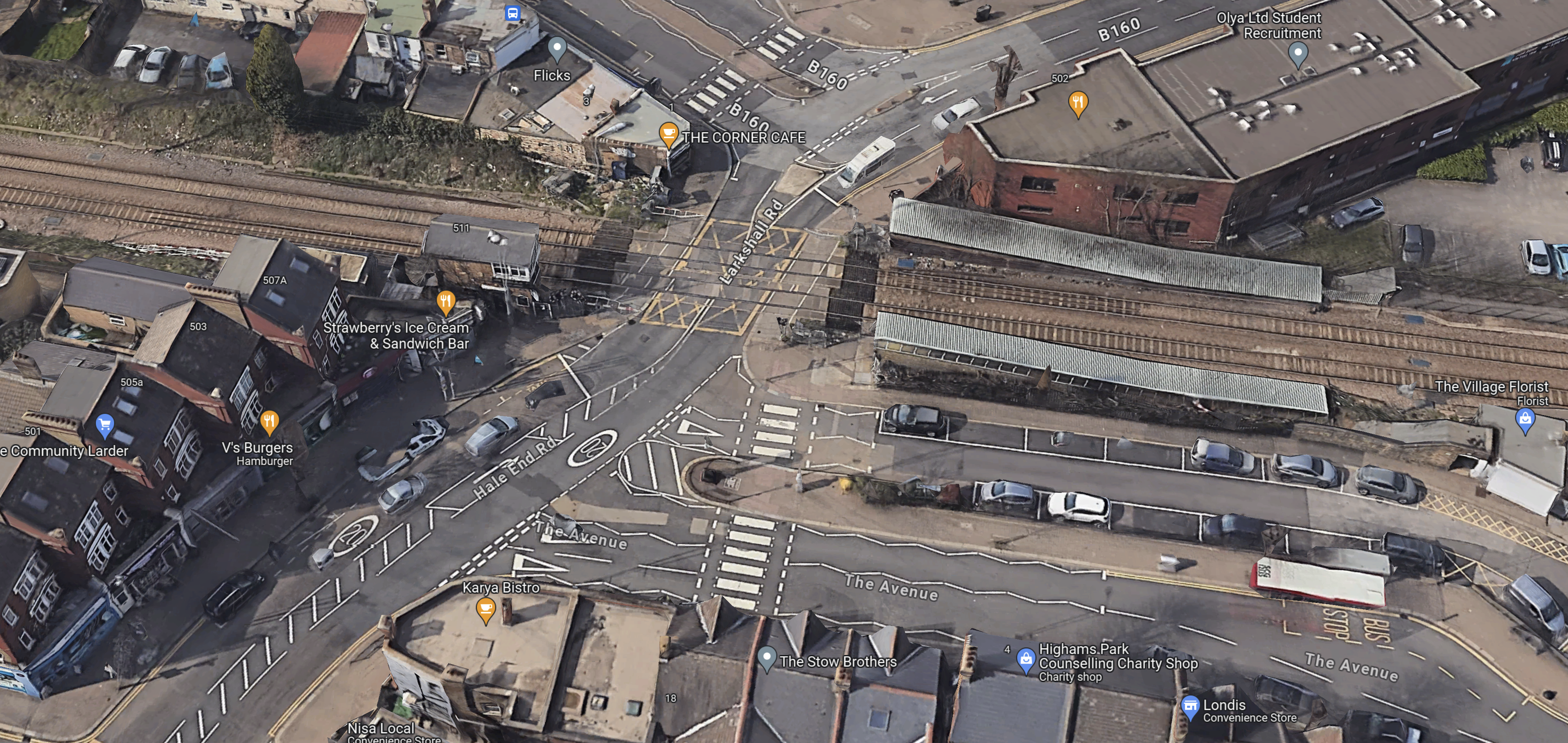
Note.
- The railway runs North-South through the station, with South to the left.
- The signal box is on the South-East corner of the level crossing.
- Hale End Road runs East from the level crossing.
- The Community Larder is on the South side of Hale End Road.
Sorting the road traffic out will be difficult.
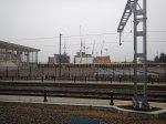
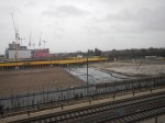
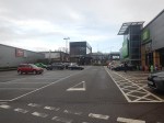
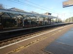
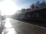
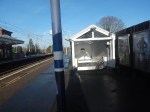
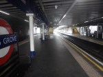
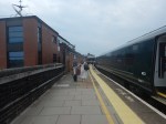
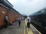
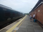
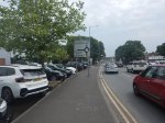
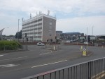
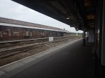
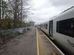
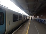
Par Station – 10th February 2024
Par station will see changes because of the Mid-Cornwall Metro.
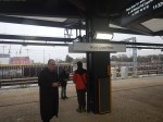
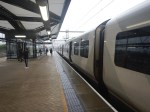
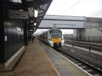
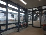
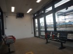
I took these pictures as I passed through.
Note.
- The level crossing was busy with cars every time I crossed it.
- The semaphore signalling.
- The arriving GWR Castle in the last picture.
This Google Map shows Par station.
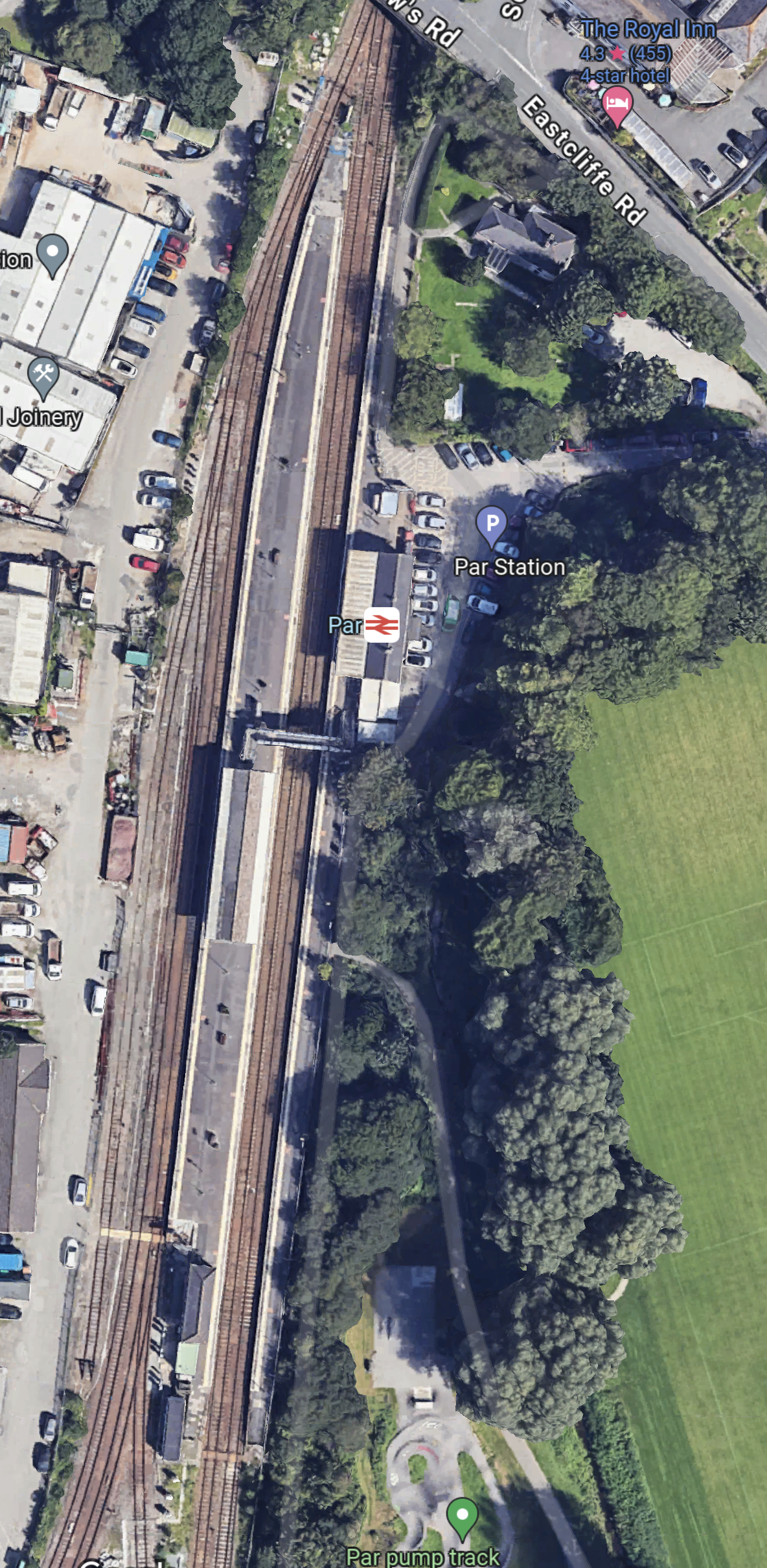
Note.
- There three platforms. Platform 1 is in the East, with Platforms 2 and 3 forming an island platform.
- There is a footbridge connect the platforms together.
- The Atlantic Coast Line leaves the map in the South West Corner.
As one of the modifications for the Mid-Cornwall Metro, the footbridge will be replaced with one that is step-free.
I have a few thoughts.
Will The Mid-Cornwall Metro Reverse At Par Station?
This OpenRailwayMap shows the track layout at Par station.
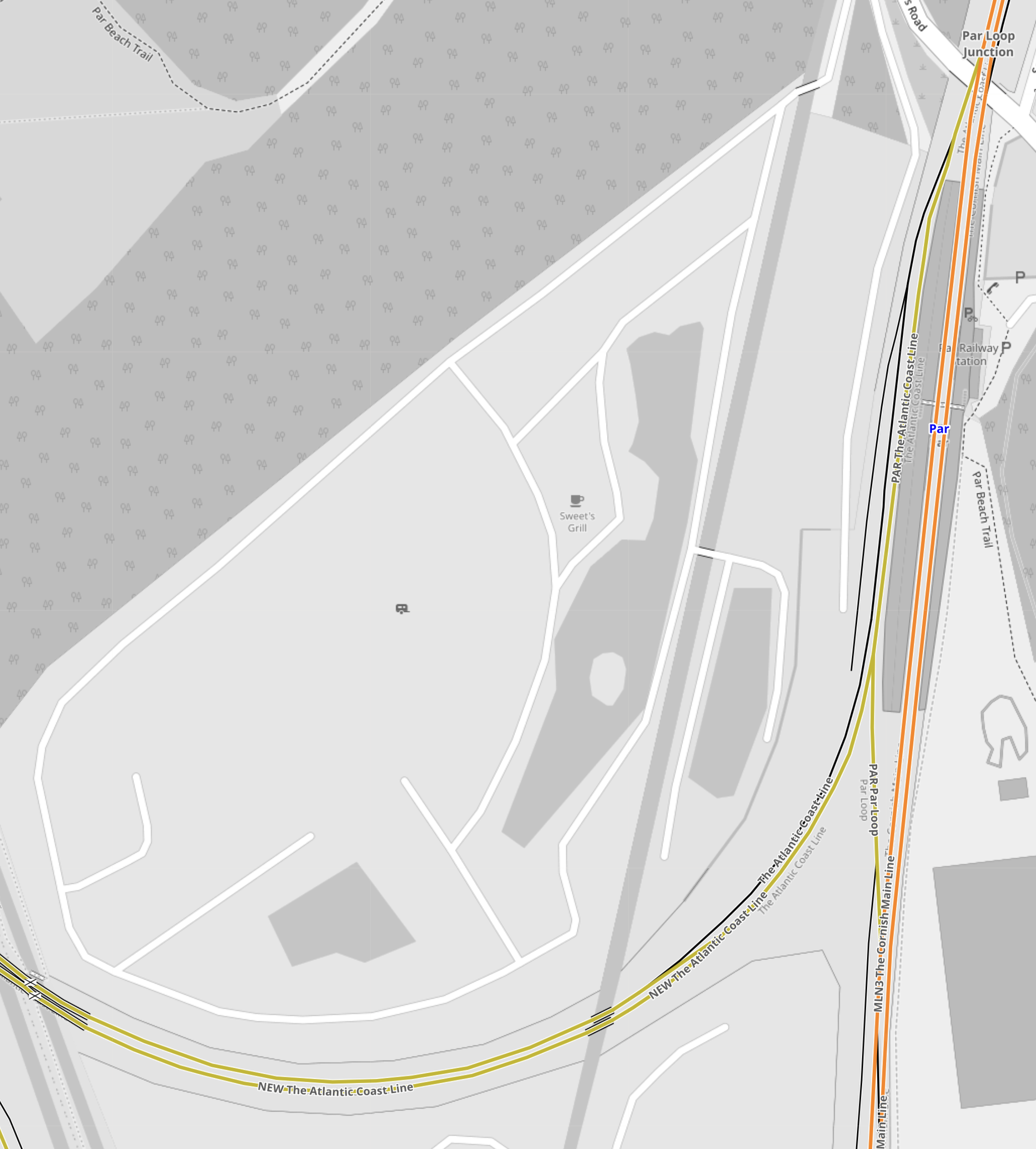
Note.
- The tracks shown in orange form the Cornish Main Line.
- The tracks shown in yellow that curve away to the West are the Atlantic Coast Line.
- The busy level crossing is shown in the South-West corner of the map.
- The Atlantic Coast Line connects to Platform 3 on the West side of the station.
- The track layout allows trains to access Platform 3 from both directions on the Cornish Main Line.
It does look like, Mid-Cornwall Metro trains will have to reverse every time, they call at Par station.
Could The Cornish Main Line Be Electrified At Par Station?
At some point in time, it will be desirable to run zero-carbon trains both on the Mid-Cornwall Metro and the Cornish Main Line.
- Plymouth and Par is a distance of 34.7 miles.
- Truro and Par is a distance of 19 miles.
- Newquay and Par is a distance of 20.8 miles.
- All of these distances would be in range of a typical battery-electric train.
- In The Data Sheet For Hitachi Battery Electric Trains, I said that a Hitachi express train with a battery range of 43.5 miles.
To my untrained eye, it looks like Par station wouldn’t be the most difficult place to electrify.
I believe there are possibilities to put an island of electrification at Par to give the trains a quick Splash-and-Dash before continuing.
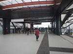
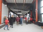
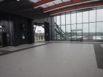
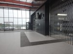
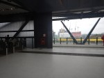
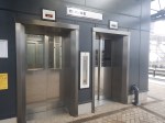
Brent Cross West Station – 10th December 2023
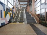
The new Brent Cross West station opened today, so I went to have a look.
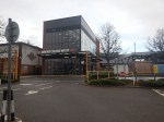
Note.
- There are two island platforms.
- The platforms can handl2 12-car Class 700 trains.
- The Eastern island, which is Platforms 1 and 2, is for Thameslink and has two escalators, two lifts, two sets of stairs and two toilets.
- The toilets on the Eastern platforms are an identical pair to cater for everyone.
- The Western island, which is Platforms 3 and 4, is for the main lines and has one lift and two sets of stairs.
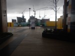
- The arriving Thameslink Class 700 train is stopping in Platform 1 on the way to London.
- Signs indicate a cafe, but I couldn’t find it, so I assume that is for the future.
- The shelters on the platforms are heated.
- Both entrances have two lifts, at least one or two escalators and stairs.
The outside photos were taken two days later.
I have some other thoughts.
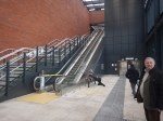
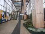
The Station Layout
The station has a slightly unusual and very practical layout.
- There is a longish and high bridge over the multiple tracks through the station.
- It is step-free with lifts and escalators at each end to give step-free access across the railway.
- The bridge is wide and is built for cycles.
- The trains are accessed from a spacious lobby, which is separated from the bridge by a long gate-line.
- The lifts, stairs and escalators all lead down from the spacious lobby.
The station must have a very high passenger capacity.
The Track Layout
This OpenRailwayMap shows the track layout at the station.
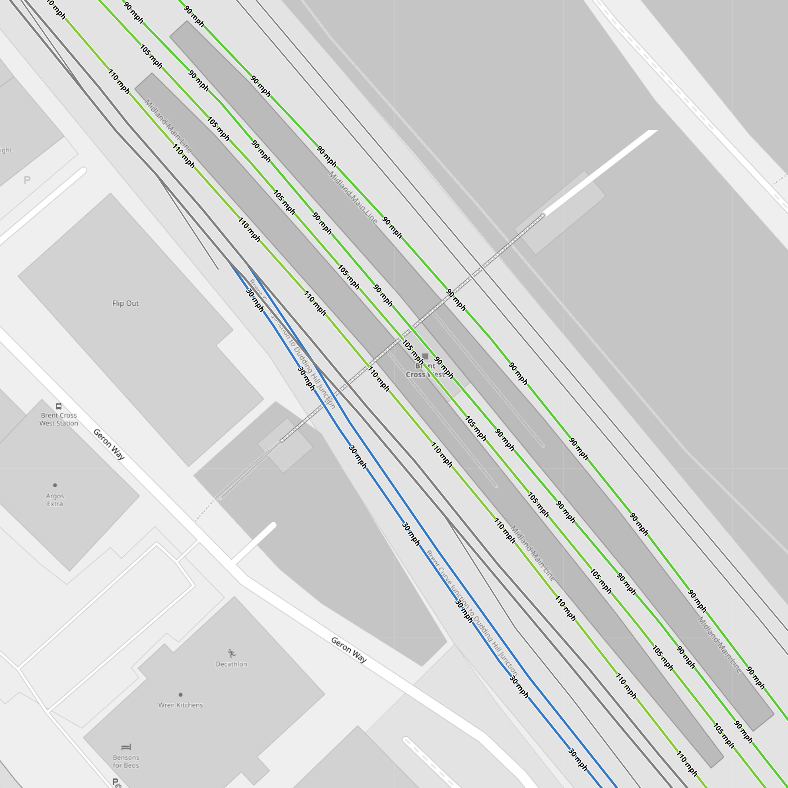
Note.
- The Eastern island platform between the 90 mph Thameslink tracks.
- The Western island platform between the 100-105 mph main line tracks.
- The two most-Easterly tracks give access to the Cricklewood Depot.
- The two black tracks
- The blue tracks connect to the Dudding Hill Line.
- The two black tracks between the blue tracks and the main line tracks are the Up and Down Hendon tracks, which run between Hendon and West Hampstead Thameslink stations, which seem to allow trains to cross over from one side of the tracks to the other.
The large number of tracks must make operation easier.
The West London Orbital Railway
The Hendon and Kew Bridge route of the West London Orbital Railway is planned to call at Brent Cross West station.
It looks like it will use the two Hendon tracks through Brent Cross West and Hendon stations and trains will take the Dudding Hill Line to Neasden to the South of Brent Cross West station.
The West London Orbital Railway will connect Hendon and Brent Cross West station to High Speed Two and the Elizabeth Line, so it will be a very important connection for the residents of the area.
This OpenRailwayMap shows the track layout between the Dudding Hill Line and Hendon.
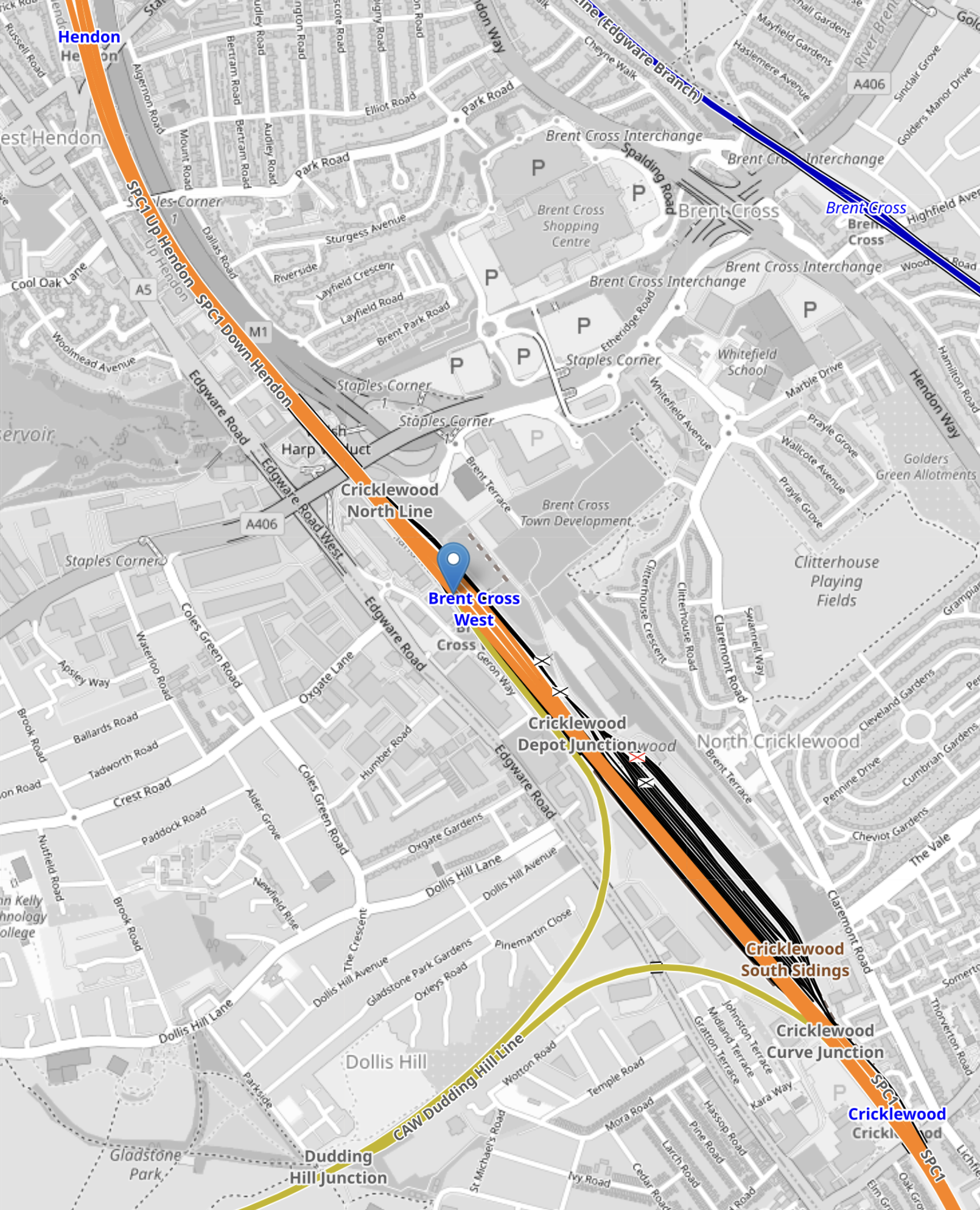
Note.
- Hendon station is in the North-West corner of the map.
- The orange tracks are the Midland Main Line
- Brent Cross West station is marked by the blue arrow.
- The yellow tracks going towards the South-West are the Dudding Hill Line.
The Hendon route will need new platforms at Hendon and Brent Cross West station.
Conclusion
I like the station and I think others will be built on similar principles.
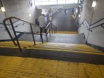
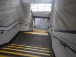
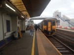
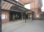
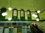
Hertford North Station – 6th December 2023
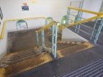
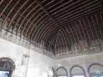
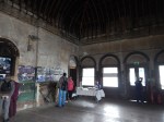
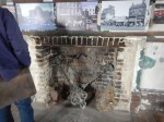
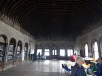
I went to Hertford North station this morning and took these pictures.

Note.
- Getting to Platform 1 is not easy.
- There would appear to be no obvious place for a lift.
- The traditional signals are still working.
- There is a cafe/shop in the station.
With some sympathetic refurbishment, it could be an excellent station.
I have some thoughts.
Digital Signalling
The digital signalling is currently being rolled out on the Northern City Line.
- The Class 717 train seemed to be running faster than I can remember.
- Had Network Rail been weeding the signals, as there only seemed to be one between each pair of stations?
- Currently, Moorgate and Welwyn Garden City takes around 50-53 minutes.
- Currently, Moorgate and Stevenage takes around 66-67 minutes.
- The average speed between Moorgate and Stevenage is only about 32 mph, which is slow for an 85 mph train.
Could the digital signalling find more time between Hertford North and Stevenage reduce the journey time to something less than an hour?
Trains For Current Schedule
I estimate that the current off-peak schedule of two trains per hour (tph) needs nine trains.
So as there are extra trains in the peak, the fleet of twenty-five Class 717 trains should be enough to be able to run the extra peak trains.
Could Four Trains Per Hour Be Run On Both Routes?
Four tph on both routes, would need something like eighteen trains, which leaves seven spare trains.
TfL Announces The Next Tube Stations To Be Prioritised For Step-Free Access To Meet The Mayor’s Bold Accessibility Targets
The title of this post is the same as that of this press release from Transport for London.
These are the first two paragraphs.
Transport for London (TfL) has outlined the ten London Underground stations it will be reviewing for potential step-free access, as it progresses plans to further improve public transport accessibility in London.
These ten stations, spread across London, have been identified using an approach focused on the benefits to customers, such as reducing journey times for those needing to use step-free access and reflecting issues that impact the delivery of step-free access such as the feasibility of new lifts, sufficient space for work to be carried out and the depth of each Tube station.
The ten stations listed are.
- Alperton
- Arnos Grove
- Burnt Oak – Some work has been started, but paused because of the pandemic
- Eastcote
- Finchley Road
- Northolt – Some work has been started, but paused because of the pandemic
- North Acton
- Rayners Lane
- West Hampstead
- White City
The linked posts will show the latest status at the stations.
Other stations are named in the press release, where work will be done, if funds are available.
- Boston Manor
- Brondesbury
- Colindale
- East Putney
- Hackney Downs
- Hatton Cross
- Leyton
- North Ealing
- Park Royal
- Peckham Rye
- Queen’s Park
- Rickmansworth
- Ruislip
- Snaresbrook
- Surrey Quays
in addition, TfL will be looking at the Northern Line between Elephant and Castle and Morden, where there is a gap in step-free access.
These are a few thoughts.
The London Mayor Election In 2024
How many of these stations are in areas, where Sadiq Khan is short of votes for the 2024 election?
Arnos Grove Station
Work has already started at Arnos Grove station, as I showed in Are Arnos Grove And Northolt Tube Stations Going Step Free?.
The BBC Jumped The Gun
The press release now explains the BBC story from Mpnday, that I wrote about in Are Arnos Grove And Northolt Tube Stations Going Step Free?.
Are Arnos Grove And Northolt Tube Stations Going Step Free?
BBC London local news announced this morning some Underground stations would be made step-free.
- It could have been two or ten stations, that would be made step-free.
- Arnos Grove and Northolt were definitely mentioned.
- A timescale of eighteen months was given.
The news story seems to have vanished without trace.
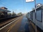
Arnos Grove Station
This Google Map shows Arnos Grove station.
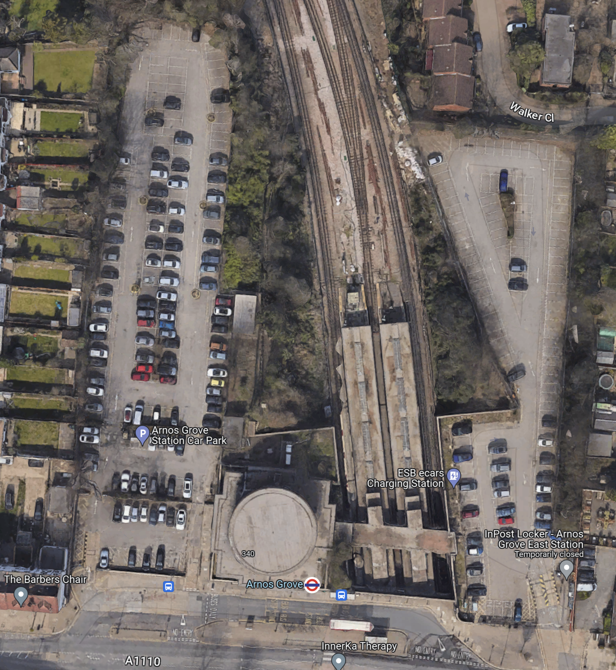
Note.
- The cylindrical shape of Arnos Grove station.
- The bridge over the tracks, which gives access to the trains to the East of the cylinder.
- Car parks to the East and West of the station.
- In Go-Ahead For West London 460-Home Build To Rent Scheme, I described how houses were to be built in the two car parks.
- According to this article on Ian Visits, which is entitled Plans To Build Flats On Arnos Grove Tube Station Car Park, there will be 162 flats in four blocks.
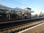
These pictures show Arnos Grove station.


Note.
- Work on the flats on either side seems to have started.
- There are lots of period features.
- There will be a lot of work needed on the rather steep stairs.
- There will be a need for at least three lifts.
This page on Connected Living London, has a plan of the development.
- Gardens are shown each side of the iconic station.
- The gardens can be accessed from the pavement in front of the station.
- Southbound buses draw up in front of the station.
- A zebra crossing gives access to the Northbound buses on the other side of the road.
I suspect that there will be step-free access to the station bridge over the tracks from both gardens.
Northolt Station
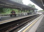
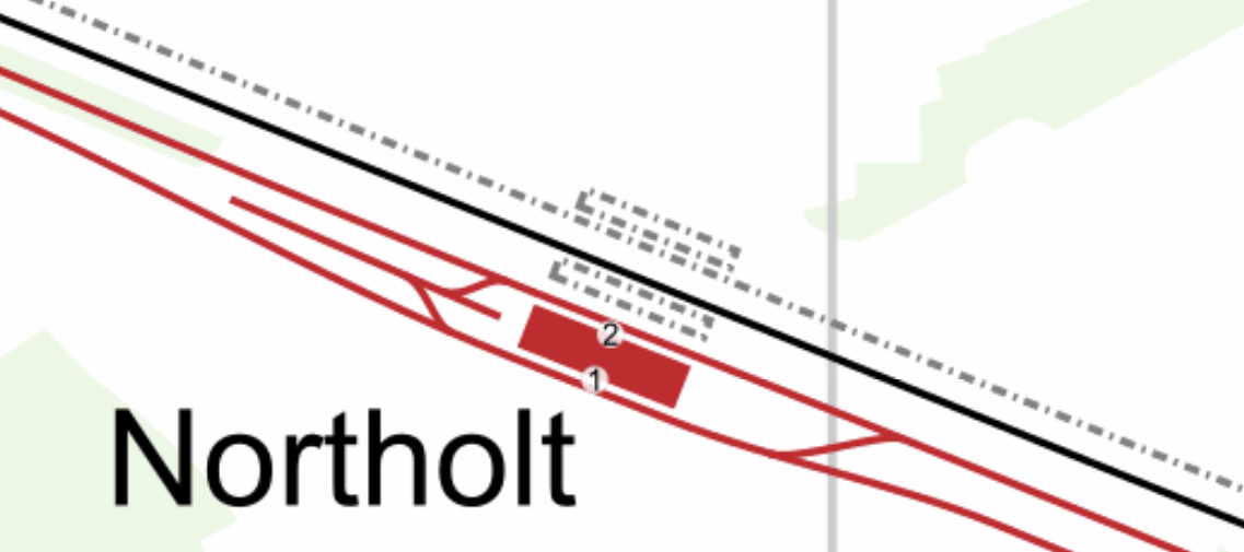
This Google Map shows Northolt station.
Note.
- The station entrance in the South-East corner of the map on Mandeville Road.
- The long island platform stretching North-West from the station building.
- An eight-car 1992 Stock train is in the Southern platform going West.
- The land on the Northern side of the railway appears to be low-grade woodland, which is quite similar to that at Arnos Grove station.
This map from cartometro.com shows the lines through Northolt station.
Note.
- The Central Line is shown in red.
- The Central Line is laid out so that there are two ways of turning a train back to London.
- The single-track Acton-Northolt line is shown in black.
- The former second track if the Acton-Northolt line is shown dotted, as are the two former platforms.
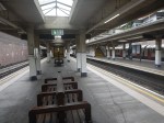
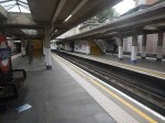
These pictures show Northolt station.
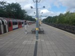
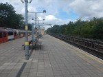
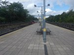
Note.
- The station is showing signs of a sympathetic refurbishment.
- The steps down to the platform is a double set of steps separated by a handrail.
- There is a stylish glass shelter.
- There doesn’t seem much space for a lift to the station entrance.
It should also be noted that for eleven in the morning, the station seemed busy.
These are Underground passenger figures for 2021 in million for stations between Hanger Lane and West Ruislip.
- Hanger Lane – 1.47
- Perivale – 1.08
- Greenford – 2.05
- Northolt – 2.47
- South Ruislip – 0.89
- Ruislip Gardens – 0.48
- West Ruislip – 0.71
Note.
- Greenford, South Ruislip and West Ruislip have some extra National Rail passengers.
- Greenford is the only station between Hanger Lane and West Ruislip, with full step-free access.
- Greenford station uses an inclined lift and I wrote about it in The Inclined Lift In An Improved Greenford Station.
As Northolt is the busiest station without step-free access, this is probably sufficient reason for step-free access to be installed.
Could Step-Free Access At Northolt Be Linked To Property Development?
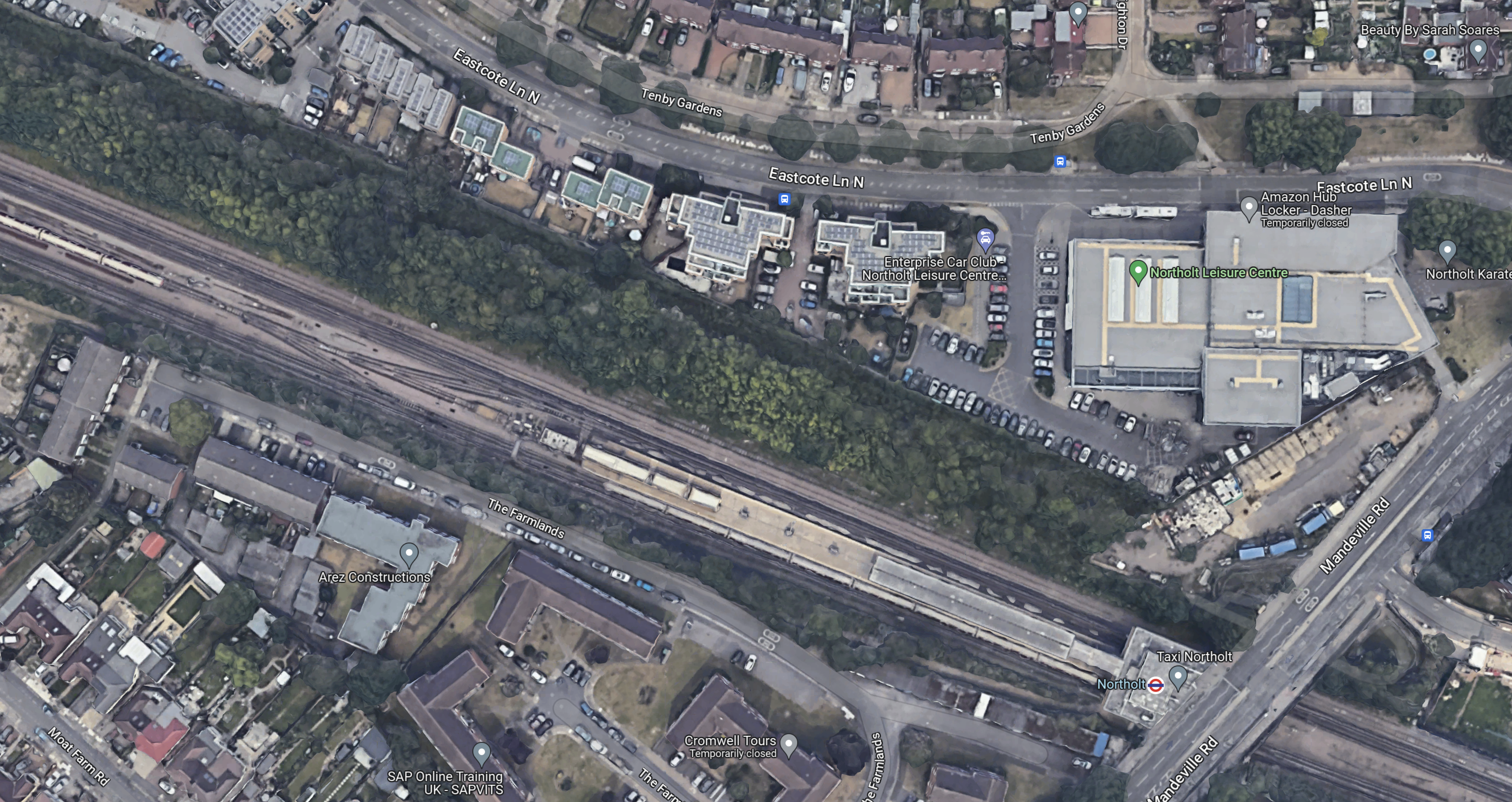
This Google Map shows a close-up of the station building and Mandeville Road.

Note.
- The station building is marked by the London Transport roundel.
- To the North of the station, is Northolt Leisure Centre, which was opened in 2010.
- Mandeville Road runs across the map to the East of the station and the Leisure Centre.
- In the South-East corner of the map, thee looks what could be a High Speed Two site, marked out with red and white barriers.
- Between the station and the Leisure Centre, there appears to be a site used for parking trucks.
Could it be possible to develop step-free access from the site to the North of the station?
This second set of pictures show that site.

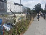
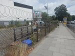
Note.
- The site is rather a dump.
- There is even a subway.
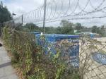
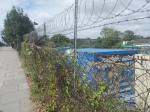
This third set of pictures, show the land on the other side of the Acton-Northolt line from the platform at Northolt station.

There are certainly possibilities! Especially if, housing were to be developed alongside the Northern side of the railway.
I suspect, that there could be a bridge across the railway, at this position in the station.
Certainly something would be possible.
Conclusion
Property development at both Arnos Grove and Northolt station would probably need step-free access at both stations.
If the BBC report was right, then to build the step-free access as the first part of the projects, is probably a good idea, as passengers get some early benefits.
I suspect though, that we’ll get a press release that says what is actually happening in a few days.
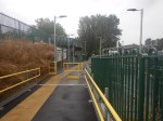
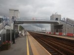
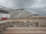
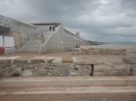
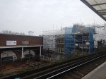
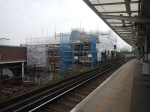
Marsh Barton Station – 4th July 2023
The main purpose of my trip to Devon was to visit the new Marsh Barton station, on the Riviera Line.

These are my thoughts about the station.
The Overall Design
This Google map shows Marsh Barton station under construction.
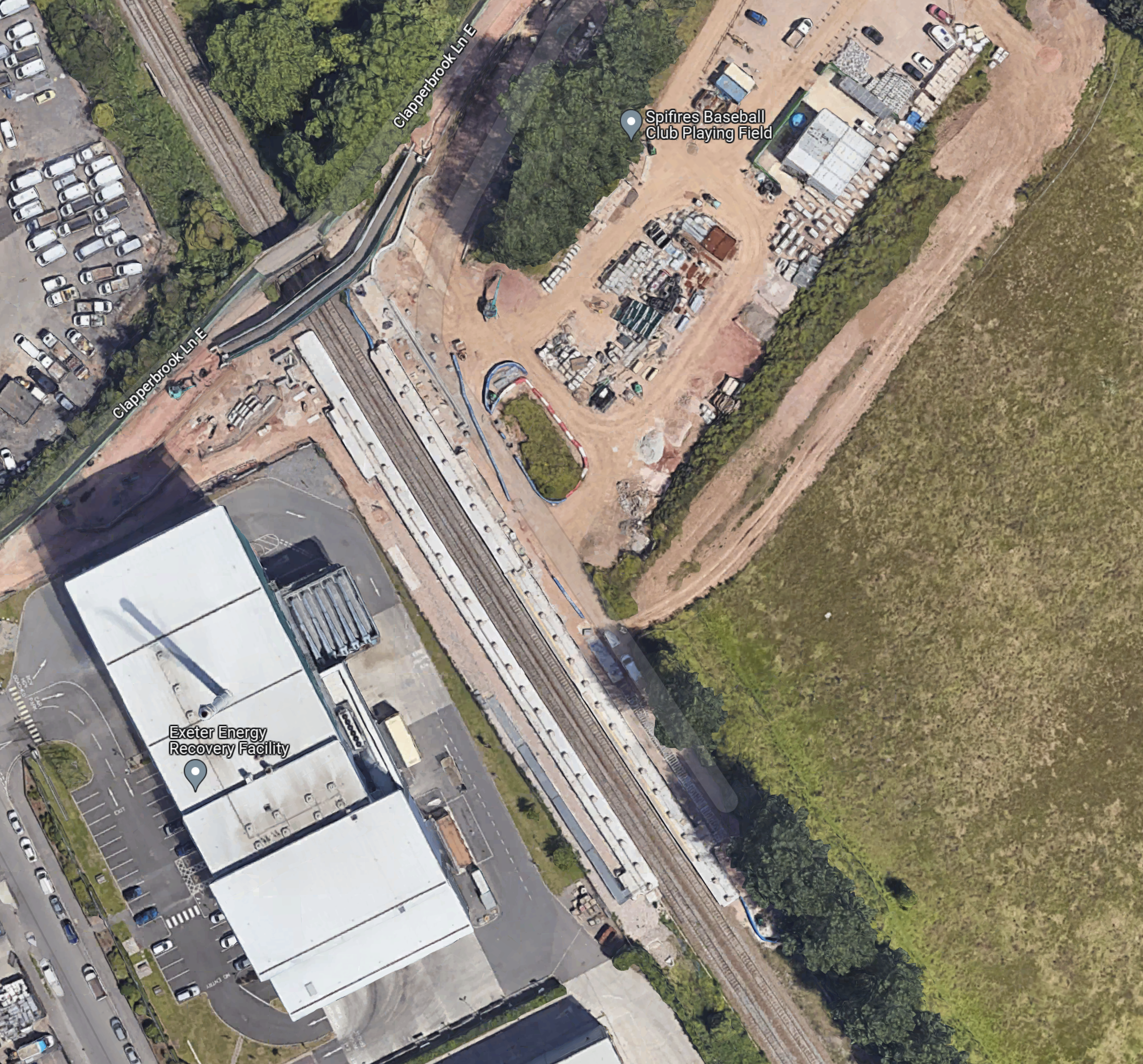
The station is built on a narrow lane by an industrial estate, which features a large waste-to-energy facility, which is in the South-West corner of the map.
The station is a basic two platform design with everything you need on the platforms and a gently sloping bridge over the top to give full step-free access.
I’ve never been to a station, which uses this form of step-free access, either in the UK or Europe.
I think it works because of the unusual site.
Car Parking
The station’s page on the GWR web site, says this about parking.
The station only has disabled parking bays for blue badge holders in order to encourage more sustainable transport use to and from the station.
Staff
The station is unstaffed.
Refreshments
When I arrived, I was hungry and needed a drink, so I asked a guy with a dog, if there was a cafe or pub nearby.
He said, the cafe shut the day before, but there was a pub called Double Locks about three or four minutes away on the canal.
These pictures show the walk.
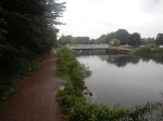
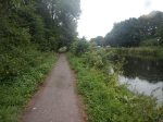
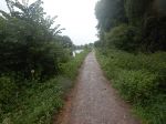
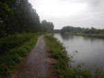
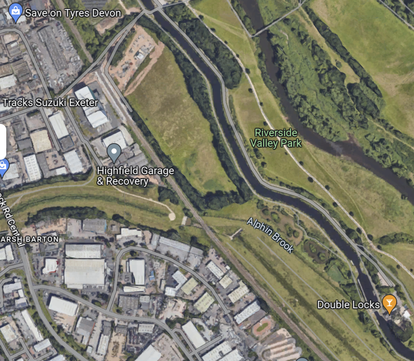
And this map shows the location of the pub and the station.
Are country minutes like country miles and a lot longer than those everybody else uses?
In the end, as I was getting soaked, I made a retreat back to the station.
Service Frequency
Currently, the trains are only hourly. Is that enough?
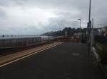
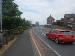
Dawlish Station And The New Sea Wall – 4th July 2023
These pictures show Dawlish station and the new sea wall.
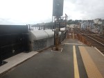
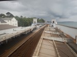
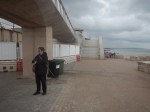
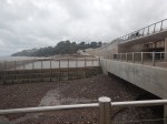
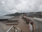
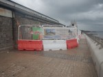
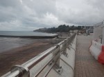
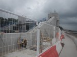
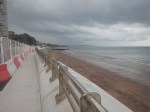
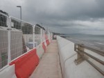
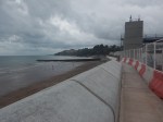
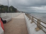
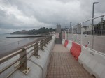
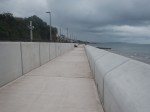
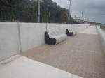
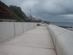
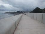
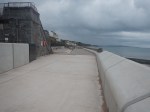
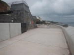
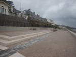
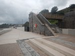
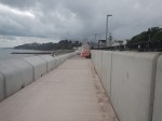
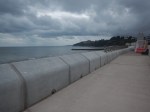
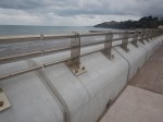
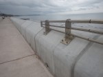
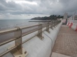
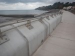
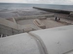
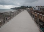
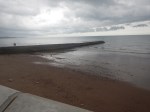
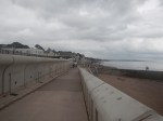
Note.
- It is a high quality sea wall.
- I particularly liked the hand-rails which seemed to be made from an expensive sea-proof metal.
- There was a busy fish and chip shop, by the station, but I don’t think they did gluten-free fish and chips.
You can still walk all the way to Dawlish Warren, as I did in Walking Between Dawlish And Dawlish Warren Stations. A guy in the station said it would take me about thirty minutes.
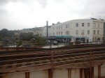
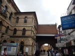
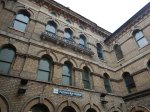
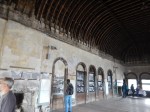
Worcester – 11th June 2023
On Sunday, I took a train to Worcester Foregate Street station and then walked across the City Centre to the other station; Worcester Shrub Hill station.
I took these pictures of Worcester Foregate Street station.
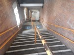


Note.
- There are no lifts.
- It had one of the worst set of stairs, I’d seen in a station.
- Wikipedia doesn’t list any improvements to the station in the future.
The station is an utter disgrace.
I took these pictures, as I walked between the two stations.


Note.
- It was not a particularly long walk.
- The last section was up a steep hill.
- There was virtually no signage.
- The roads were dominated by private cars.
- I didn’t see a sign to the cathedral or the bus station.
- There was even a crude handrail on the pavement to help people up the hill.
- The only good thing I saw was a defibrillator half-way up the hill, which was where you might need it.
No-one in their right mind would spend a few days in Worcester, unless they drove a car. In which case, it would probably be better to stay in a friendlier nearby town.
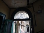
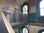
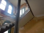
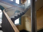
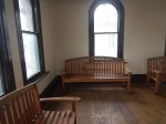
I took these pictures of Worcester Shrub Hill station.


Note.
- There is no sign outside to indicate it’s a station.
- There are no lifts to get across the tracks.
- Both clocks are showing the wrong time.
- The station needs a deep clean.
- Wikipedia doesn’t list any improvements to the station in the future.
The only thing in good condition was the Victorian waiting room. But it was locked.
Conclusion
Worcester is not a town, I could recommend for anything.
It has two dreadful, disabled-unfriendly stations, no working signage or maps and is dominated by private cars.
I also would have liked some refreshment, as I walked across the City. I didn’t see anything I fancied, but that often happens when you’re coeliac.
Clapham High Street Could Gain Direct Overground Routes To Victoria Station
The title of this post, is the same as that of this article on the Clapham Nub News.
These two paragraphs introduce the article.
Local councillors and the Clapham Transport Users Group have been in discussions with Network Rail about the direct route once the current ‘Networker’ trains are replaced.
Clapham High Street lost its direct services to Victoria in December 2012 when the South London Line was withdrawn in favour of the London Overground to Clapham Junction.
This forces passengers onto the Northern Line, which through Clapham has two dangerous-looking stations; Clapham Common and Clapham North.

I have a few thoughts and observations.
Clapham High Street Station
These pictures show Clapham High Street station.
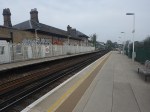
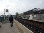
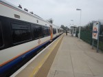
Note.
- The station is Grade II Listed.
- There are four tracks through Clapham High Street station.
- Only the lines used by the London Underground have platforms.
- I don’t think it will be difficult to add platforms to the other two tracks.
- The platforms will probably take five-car trains.
- Access to the platforms is by a subway, which could probably be extended to the other side of the tracks.
- A second entrance would be closer to Clapham North station.
- I suspect step-free access would not be too difficult to install.
- The tracks are over railway arches, which could be developed to add to the quality businesses in the area.
This Google Map shows the station.
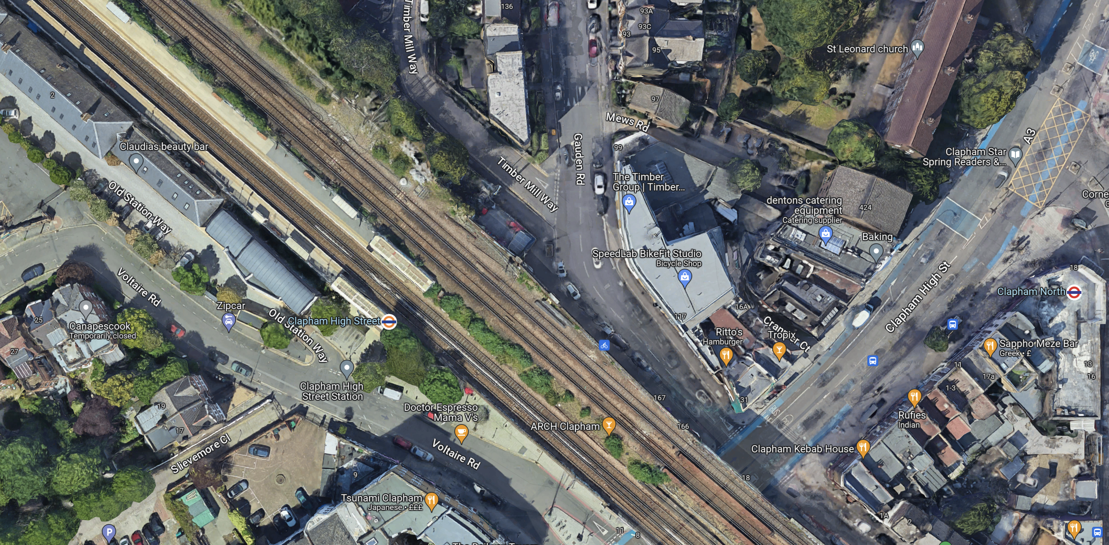
Note.
- Clapham High Street station is in the North-West corner of the map.
- Clapham North station is at the Eastern edge of the map in the middle.
- There seems plenty of space for two more platforms.
I think there is a lot of scope to improve this station.
Tracks Through Clapham High Street Station
This map from cartometro.com shows the tracks through Clapham High Street station.

Note.
- The Overground tracks are shown in orange and black.
- The fast lines, which are to the North of the Overground lines are shown in black.
- Shepherds Lane and Voltaire Road junctions allow trains on the fast lines to call in Clapham High Street station.
I suspect full digital signalling will be employed for efficiency of handling the junctions.
Services Through Clapham High Street Station
These services run through Clapham High Street station.
- London Overground – Dalston Junction and Clapham Junction – four tph – Goes via Denmark Hill and Peckham Rye
- Southeastern – London Victoria and Ashford International – one tph – Goes via Brixton, Herne Hill and West Dulwich
- Southeastern – London Victoria and Dartford – two tph – Goes via Denmark Hill, Peckham Rye, Nunhead and Lewisham
- Southeastern – London Victoria and Dover Priory – one tph – Goes via Brixton, Herne Hill and West Dulwich
- Southeastern – London Victoria and Gillingham – one tph – Goes via Denmark Hill, Peckham Rye, Nunhead and Bromley South
- Southeastern – London Victoria and Orpington – two tph – Goes via Brixton, Herne Hill and West Dulwich
- Southeastern – London Victoria and Ramsgate – one tph – Goes via Brixton, Herne Hill and West Dulwich
Note.
- tph means trains per hour.
- The London Overground services could be increased to 6 tph.
- Only the London Overground services stop in Clapham High Street station.
- The Dartford, Gillingham and Orpington trains are pathed for 90 mph trains.
- The Ashford International, Dover Priory and Ramsgate trains are pathed for 100 mph trains.
It is a comprehensive timetable.
Southeastern’s New Trains
In Battery EMUs Envisaged In Southeastern Fleet Procurement, I wrote about Southeastern’s proposed new trains.
Full details haven’t been announced yet, but I think we can be sure of the following.
- The first trains to be replaced will be the Networker trains, because they are the oldest and slowest.
- The new trains will have selected door opening (SDO), as this a feature of nearly all modern trains.
- I also suspect the trains will be capable of running at 100 mph and will be five cars long, with the ability to run in pairs.
This will enable the new trains to cross over from the fast lines to the Overground lines to stop in Clapham High Street station.
How Many Trains Would Stop At Clapham High Street Station?
Currently trains passing through the station are as follows.
- London Overground – 4 tph – Stopping
- Southeastern – 3 tph – 100 mph services to Ashford International, Dover Priory and Ramsgate – Non-stop
- Southeastern – 5 tph – 90 mph services to Dartford, Gillingham and Orpington – Non-stop
Note.
- It is likely that the London Overground service will go to 6 tph.
- Would 100 mph services always go through without stopping?
- In an ideal world would it be best if services alternated?
I suspect that a better service could be provided between Clapham High Street and Victoria with very little expenditure on infrastructure.
High Speed One Issues
An article in the July 2017 Edition of Modern Railways is entitled Kent On The Cusp Of Change.
The article suggests that Fawkham junction, could be used to allow Southeastern Highspeed services to access Victoria as a second London terminal, to increase capacity on High Speed One.
The route could be via Clapham High Street, Denmark Hill, Bromley South, St. Mary Cray, Swanley and Farningham Road.
The Arches Underneath
There are several railway arches underneath the tracks at Clapham High Street station.
Some of the businesses look good and there are several other arches that are boarded up.
Railway arches are now generally owned by The Arch Co.
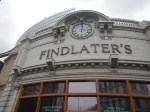
In Findlater’s Corner At London Bridge – 11th February 2023, I wrote about the company’s restoration of some arches at London Bridge station, which included these pictures.

I suspect that a similar restoration in up-market Clapham could be a good investment for The Arch Co.
A Four-Platform Clapham High Street Station
Consider.
- There is space for two new platforms alongside the fast lines.
- The station entrance is in an arch, that goes right under the tracks.
- Putting lifts in an arch would not be the most challenging of tasks.
- A second entrance in Gauden Road would be nearer Clapham North Underground station.
- It should also be remembered that the Government is giving out levelling up funding.
- Hackney is to receive this type of funding and I wrote about it in Hackney Central Before Levelling Up.
I can see a fully-accessible four-platform station being built at Clapham High Street station.
Denmark Hill Station
Denmark Hill station is the next station to the East of Clapham High Street station and after a rebuild is now a high quality station, with these features.
- Four tracks and platforms.
- Frequent trains to Ashford International, Clapham Junction, St. Pancras, Victoria and Whitechapel.
- Full step-free access with lifts.
- A solar roof.
- A Grade II listing.
- King’s College and Maudsley Hospitals are next door.
- A pub.
I wrote about the station in Denmark Hill Station – 4th September 2021.
These are a few pictures.


Note the solar roof. There’s more about the roof on this page of the BiPVco web site.
On the About page, there is a section called Our Story, where this is said.
BIPVco was established in April 2015 following five years of collaborative research between Tata Steel LCRI (Low Carbon Research Institute) and Swansea University with support from the Welsh government.
The research program developed ways of integrating thin-film CIGS PV cells directly onto the same substrates that make roofs and walls so that true BIPV functionality would become integral to the building envelope and could be achieved without having to resort to heavy on site mounting systems.
Our manufacturing processes were further enhanced to suit commercial production, and the products and procedures were tested and accredited before commercial launch.
Working with select partners, we designed and built many pilot PV integrated roofs between 2015 and 2017 in varying climates, including Nigeria, Canada, UAE and the UK, to demonstrate product suitability in all environments. The full commercial launch was effected in June of 2017.
They certainly seem to have taken solar panels to a new level.
I would also rate Denmark Hill station one of the finest suburban railway stations in the world!
Peckham Rye Station
The next station to the East of Denmark Hill station is Peckham Rye station.
Like many other stations and buildings in London, including the original Denmark Hill station, Peckham Rye station was designed by Charles Henry Driver.
These are some pictures, I’ve taken over the years at Peckham Rye station.

Note.
- It is a very busy station.
- I’ve read somewhere, that it is the busiest station in the UK, without any step-free access.
- It could be a magnificent station.
- One of the people driving this project is the architect; Benedict O’Looney.
This page on the Network Rail web site is entitled Peckham Rye Station Upgrade and it starts with this statement.
On 7th March 2022, we submitted Planning Permission and Listed Building Consent applications to upgrade Peckham Rye station to make it fully accessible with more capacity and better facilities for passengers.
It’s all a bit out of date, but these pictures, that I took this morning, indicate that something is progressing.

This article on IanVisits gives a few more details.
South London Crosslink
The South London Crosslink, doesn’t seem to have a website or a Wikipedia entry.
But it is mentioned in a question and answer to the London Mayor.
In response to this question.
Will you consider bringing the Victoria rail service back to Clapham High Street station and providing direct trains to Brixton, Herne Hill, and Bromley South?
The Mayor gave this answer.
The Department for Transport (DfT) is responsible for these services, as they run Southeastern railway as operator of last resort. Transport for London (TfL) is not opposed to the existing Southeastern services to and from Victoria making additional calls at Clapham High Street should the DfT, wish to take the idea forward.
There are however several practical issues that would need to be taken into consideration, and any changes to the service would be subject to cost-effective solutions being found to these.
The Clapham High Street platforms are too short for the eight-car trains used on the Victoria to Dartford and Orpington metro routes, and the existing rolling stock lacks a safety intervention called “Selective Door Opening” that enables trains to call at a station where the platform is shorter than the train. There are also technical restrictions, such as the frequent routing of these services along an adjacent pair of tracks which do not have any platforms, which would make implementation difficult using the existing railway infrastructure. Finally, there would need to be clear consideration on the wider capacity of the rail network and the robustness of the timetable. All of these concerns could affect the value for money of any proposal for these services to call at Clapham High Street station.
As I showed earlier, it looks like new trains will solve most of these problems. If they don’t, then the wrong trains have been ordered.
But there’s still not much about where the route will go after Peckham Rye, except for vague mentions of Dartford and Orpington.
I asked a friend and they said the South London Crosslink could possibly go to Bellingham.
This map from cartometro, shows the route between Denmark Hill and Crofton Park stations.
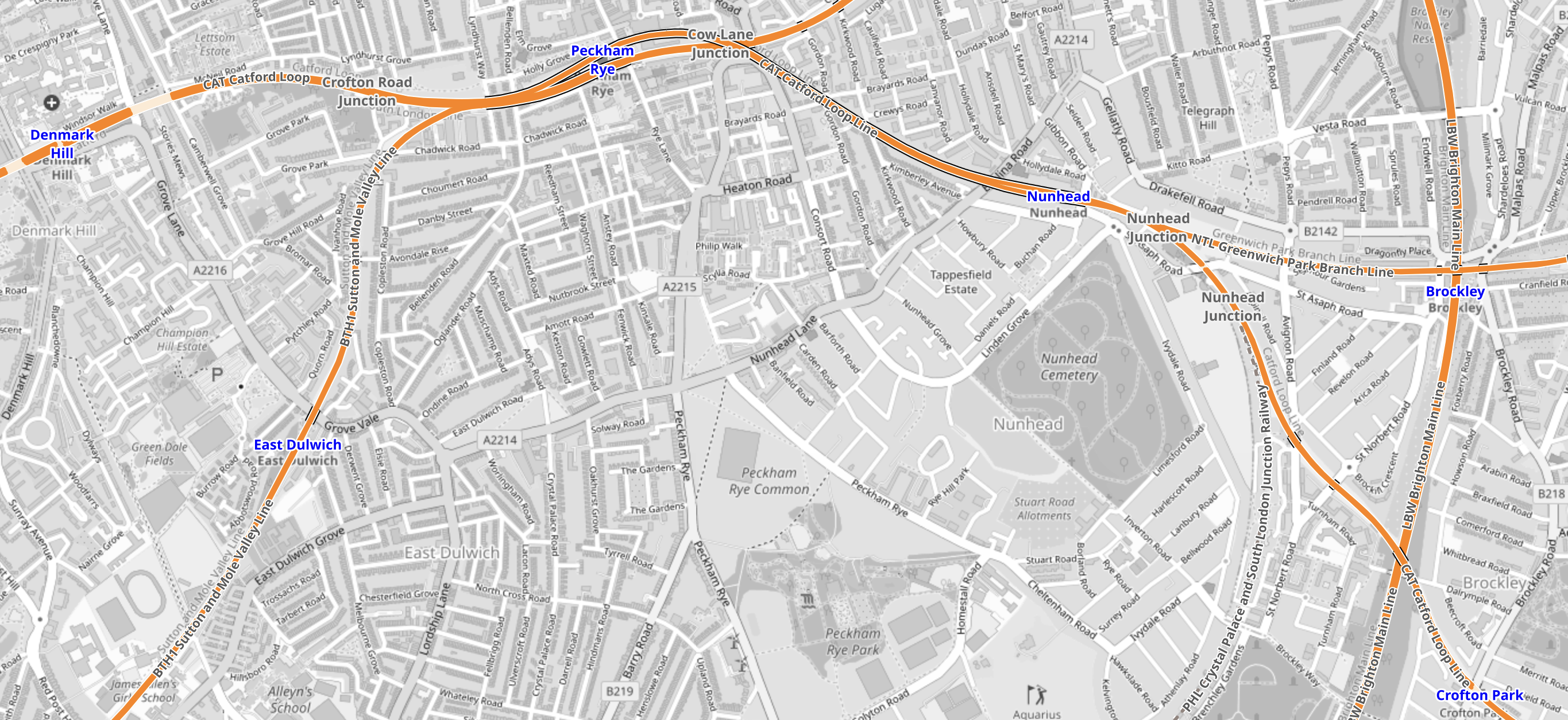
Note.
- Denmark Hill station is in the North-West corner of the map.
- Crofton Park station is in the South-East corner of the map.
- The route would be via Peckham Rye and Nunhead stations.
- It is not a very fast route with an operating speed of 50-60 mph.
- In Nunhead Junction Improvement, I wrote about improvements needed at Nunhead junction to the East of Nunhead station to improve capacity for freight trains.
This second map from cartometro, shows the route between Crofton Park and Bellingham stations.
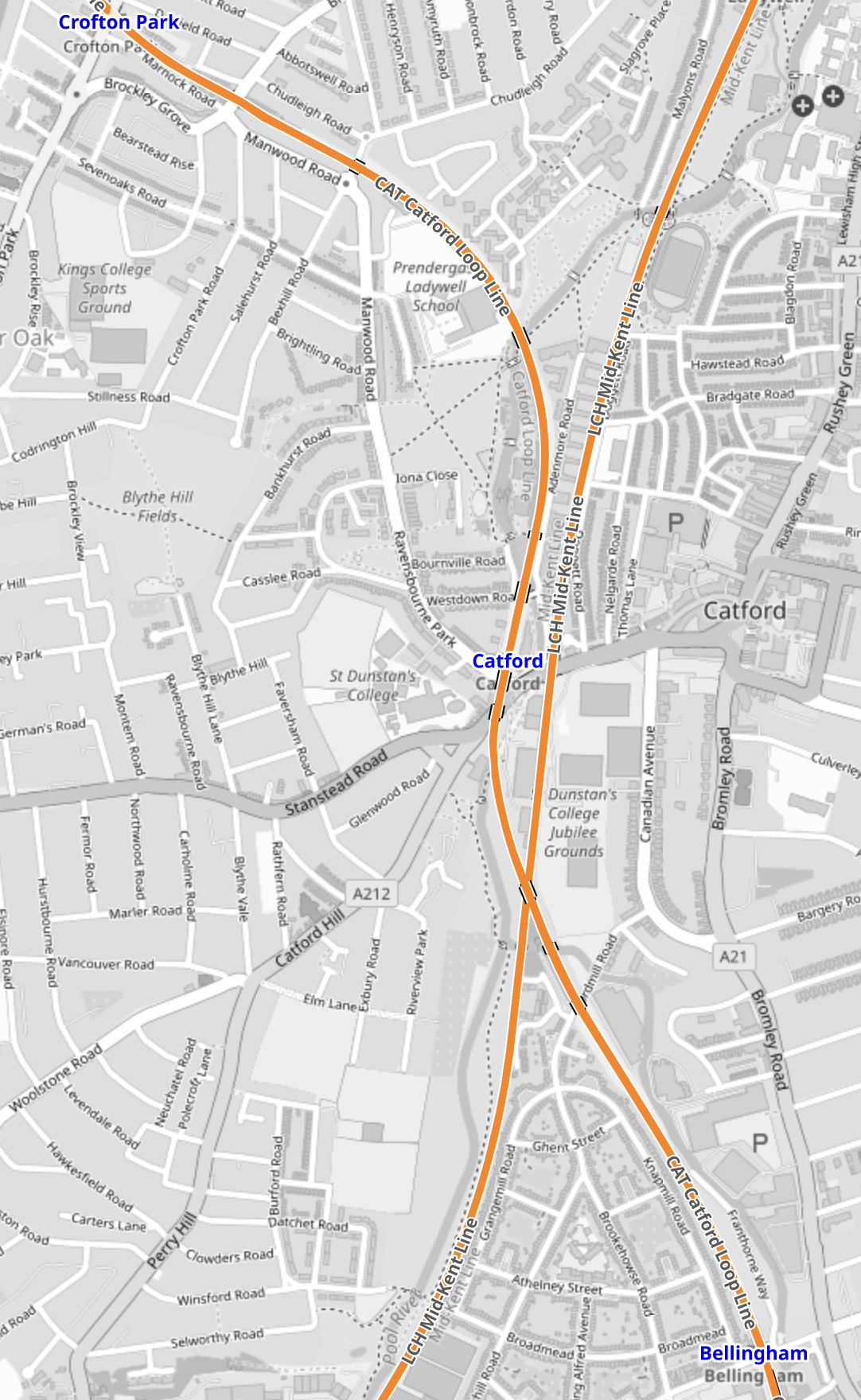
Note.
- Crofton Park station is in the North-West corner of the map.
- Bellingham station is in the South-East corner of the map.
- The line going diagonally across the map from North-East to South-West is the Hayes Line to Hayes.
- There are plans to create an interchange station at Catford.
This Google Map shows Bellingham station.
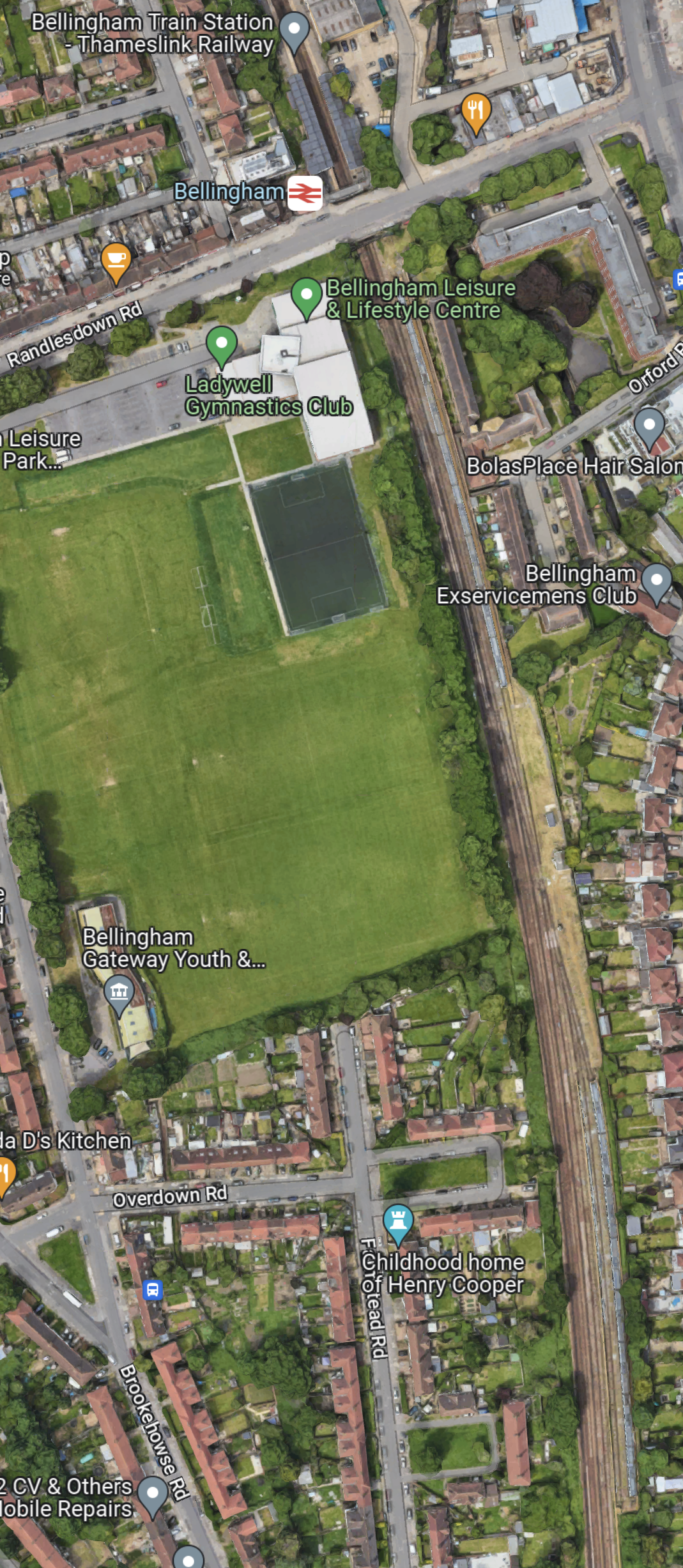
Note.
- Bellingham station is at the top of the map.
- Bellingham station is on the Catford Loop Line.
- South of Bellingham station are a series of sidings.
Is the reason, that Bellingham station was proposed as a terminus, that with a proper interchange at Catford, it creates a very efficient operational railway with some convenient sidings thrown in?
This map from cartometro, show the track layout at Bellingham station.
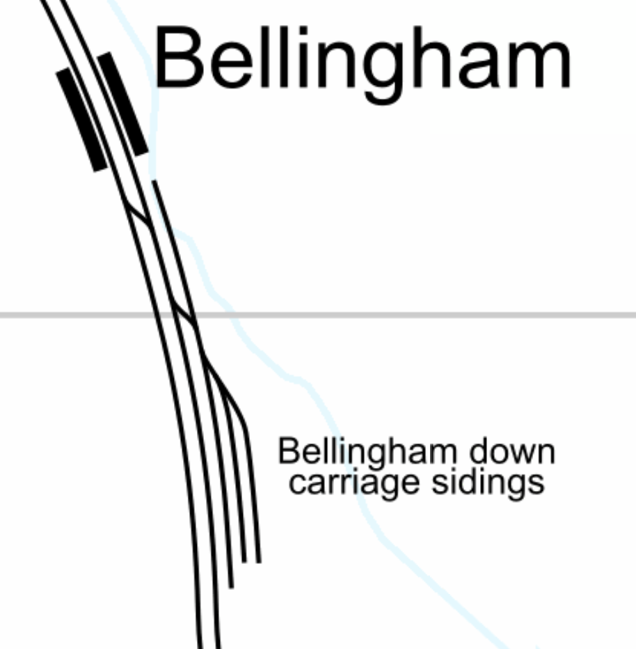
I believe that the sidings could be used as a turnback siding for trains from both directions.
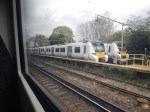
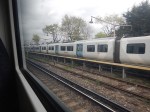
These pictures show trains in the sidings.
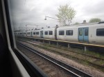
And these are of the station.
Note.
