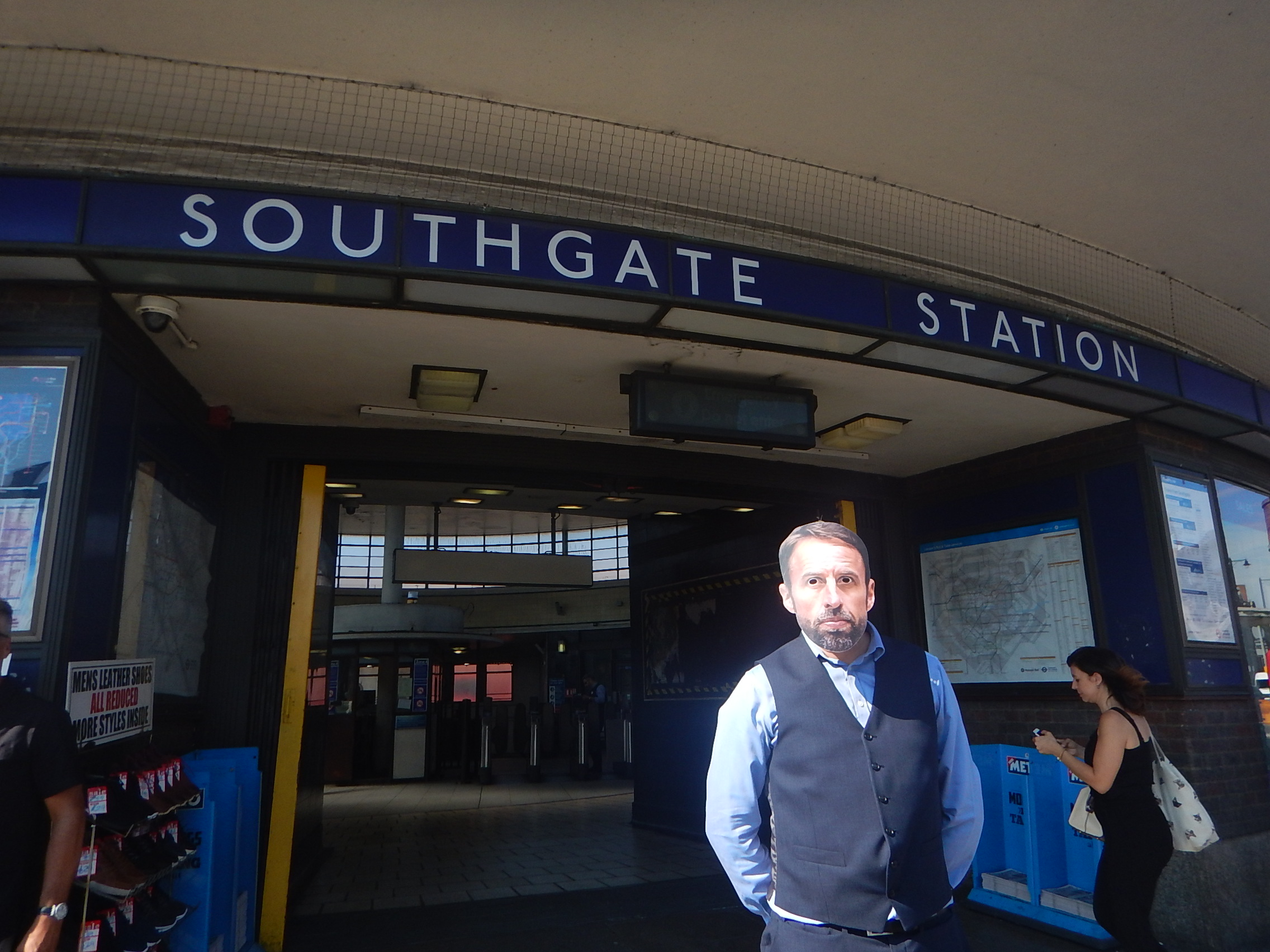
TfL Announces The Next Tube Stations To Be Prioritised For Step-Free Access To Meet The Mayor’s Bold Accessibility Targets
The title of this post is the same as that of this press release from Transport for London.
These are the first two paragraphs.
Transport for London (TfL) has outlined the ten London Underground stations it will be reviewing for potential step-free access, as it progresses plans to further improve public transport accessibility in London.
These ten stations, spread across London, have been identified using an approach focused on the benefits to customers, such as reducing journey times for those needing to use step-free access and reflecting issues that impact the delivery of step-free access such as the feasibility of new lifts, sufficient space for work to be carried out and the depth of each Tube station.
The ten stations listed are.
- Alperton
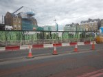
- Arnos Grove
- Burnt Oak – Some work has been started, but paused because of the pandemic
- Eastcote
- Finchley Road
- Northolt – Some work has been started, but paused because of the pandemic
- North Acton
- Rayners Lane
- West Hampstead
- White City
The linked posts will show the latest status at the stations.
Other stations are named in the press release, where work will be done, if funds are available.
- Boston Manor
- Brondesbury
- Colindale
- East Putney
- Hackney Downs
- Hatton Cross
- Leyton
- North Ealing
- Park Royal
- Peckham Rye
- Queen’s Park
- Rickmansworth
- Ruislip
- Snaresbrook
- Surrey Quays
in addition, TfL will be looking at the Northern Line between Elephant and Castle and Morden, where there is a gap in step-free access.
These are a few thoughts.
The London Mayor Election In 2024
How many of these stations are in areas, where Sadiq Khan is short of votes for the 2024 election?
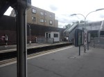
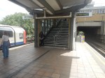
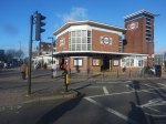
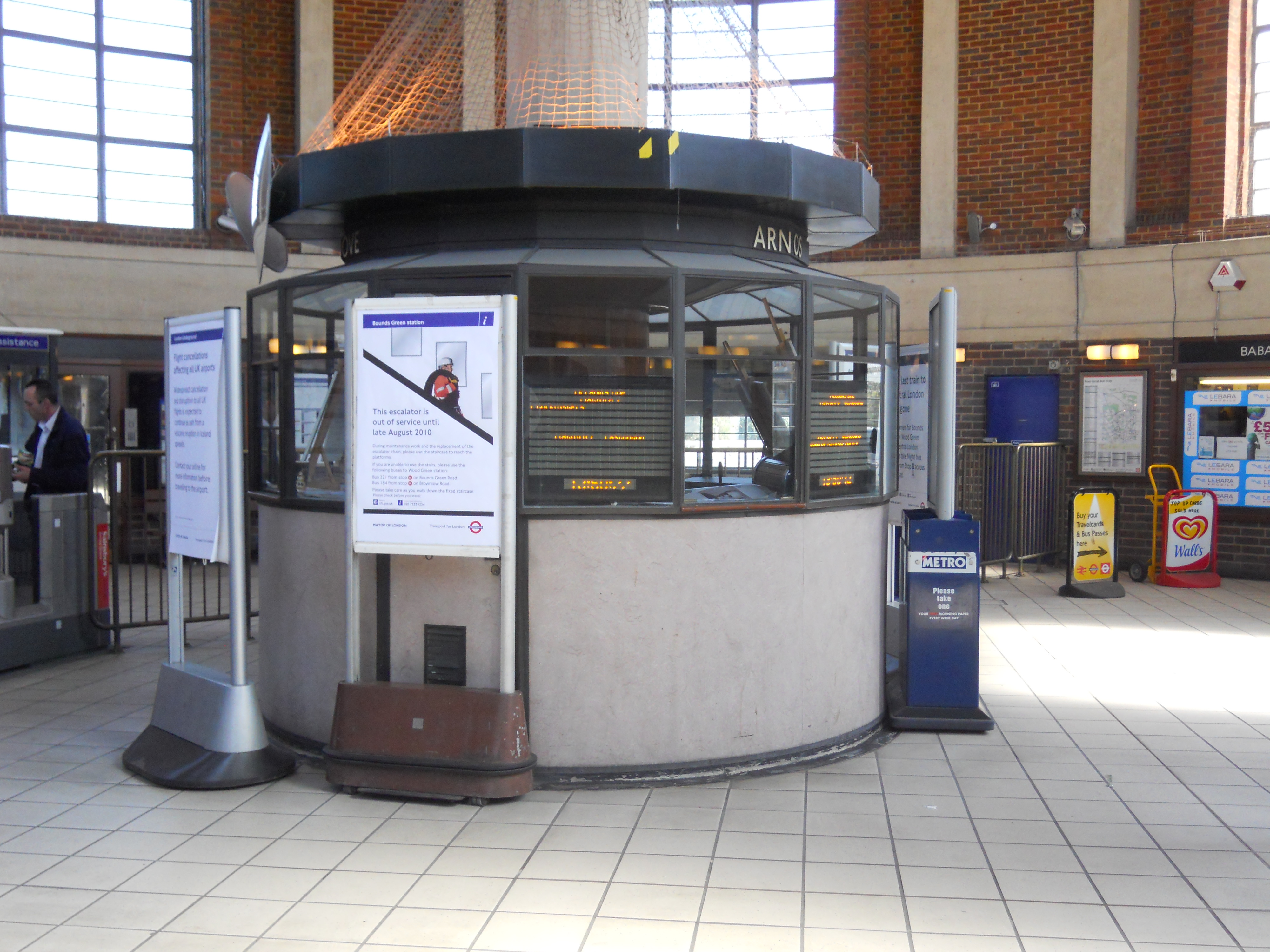
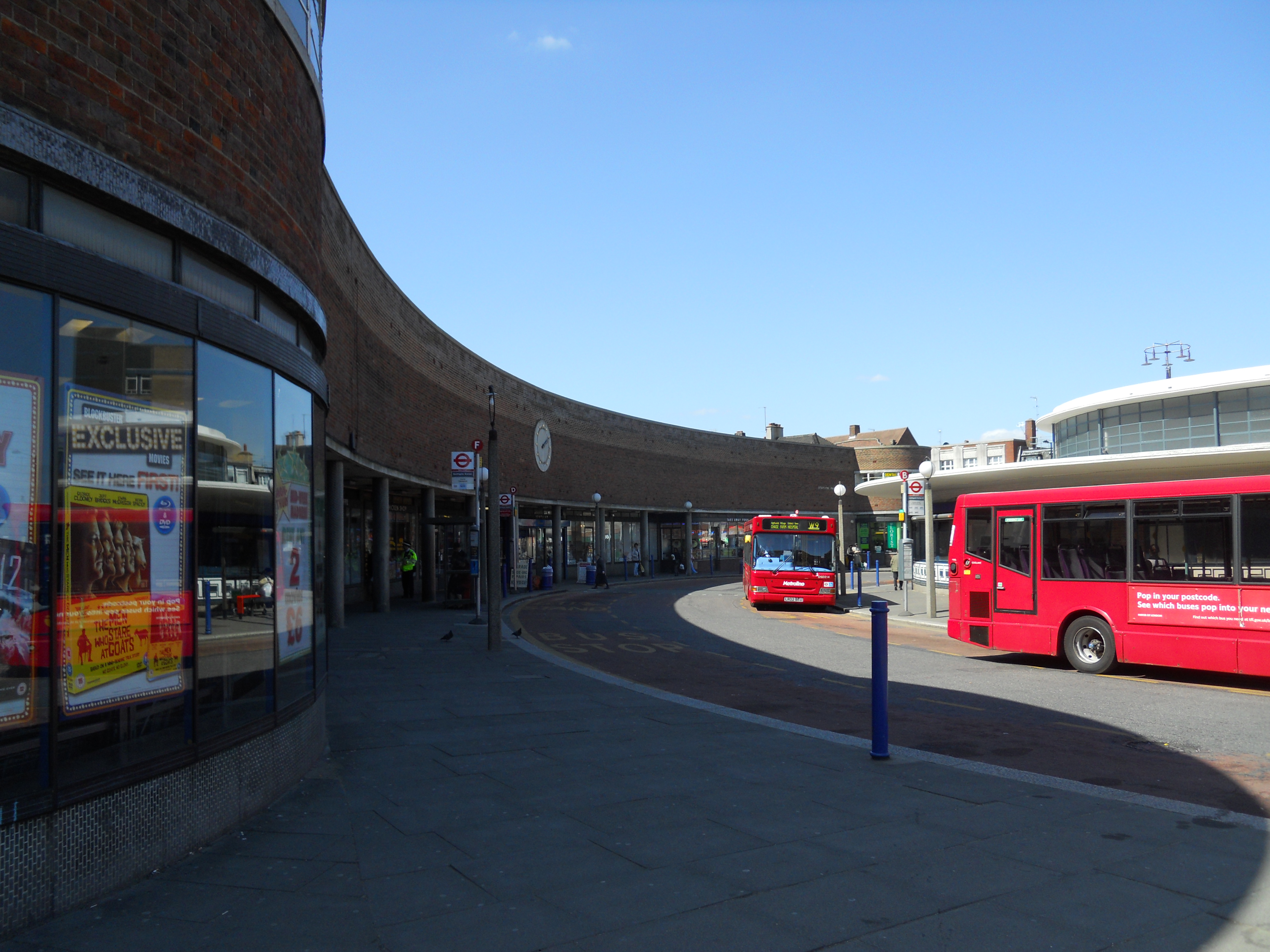
Arnos Grove Station
Work has already started at Arnos Grove station, as I showed in Are Arnos Grove And Northolt Tube Stations Going Step Free?.
The BBC Jumped The Gun
The press release now explains the BBC story from Mpnday, that I wrote about in Are Arnos Grove And Northolt Tube Stations Going Step Free?.
Are Arnos Grove And Northolt Tube Stations Going Step Free?
BBC London local news announced this morning some Underground stations would be made step-free.
- It could have been two or ten stations, that would be made step-free.
- Arnos Grove and Northolt were definitely mentioned.
- A timescale of eighteen months was given.
The news story seems to have vanished without trace.
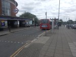
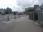
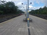
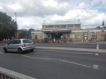
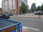
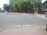
Arnos Grove Station
This Google Map shows Arnos Grove station.
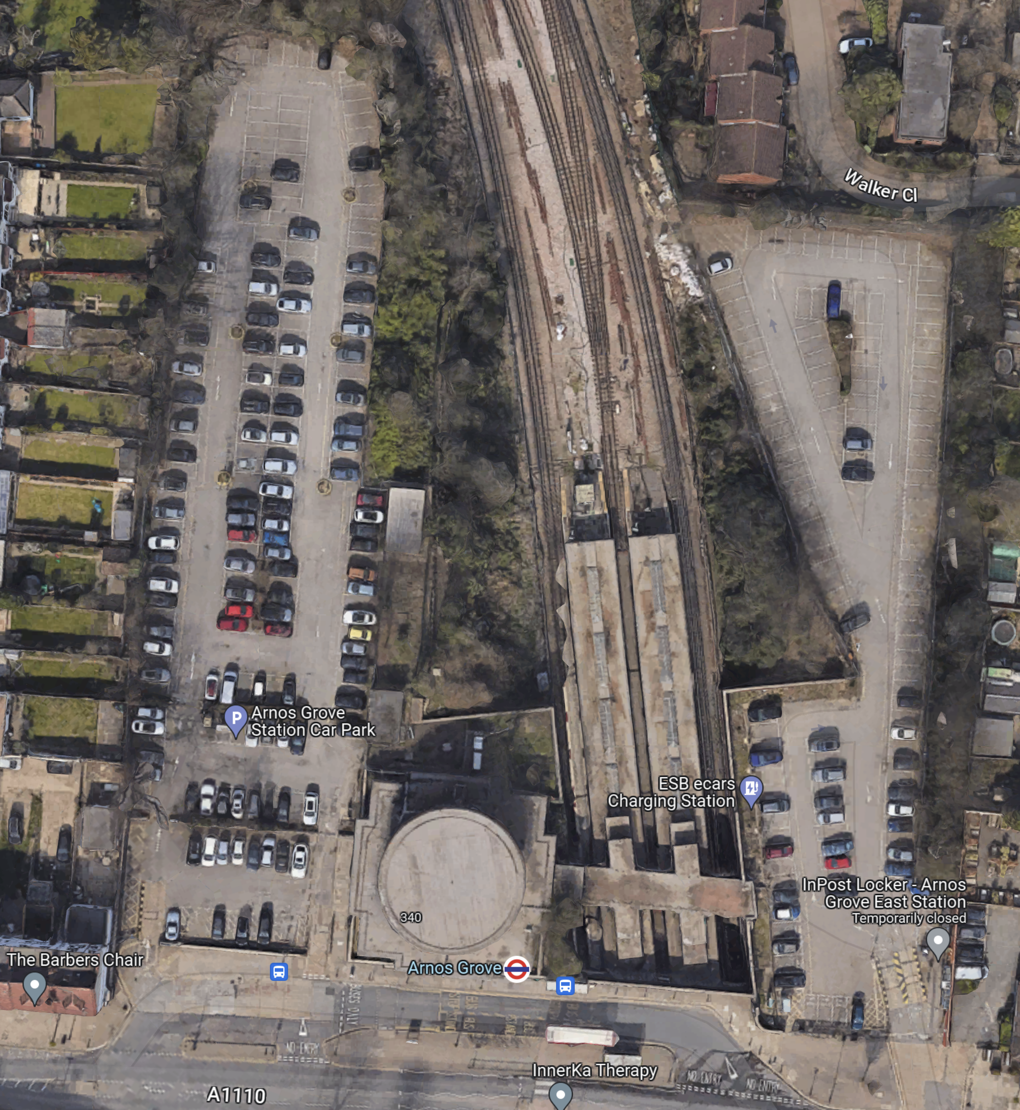
Note.
- The cylindrical shape of Arnos Grove station.
- The bridge over the tracks, which gives access to the trains to the East of the cylinder.
- Car parks to the East and West of the station.
- In Go-Ahead For West London 460-Home Build To Rent Scheme, I described how houses were to be built in the two car parks.
- According to this article on Ian Visits, which is entitled Plans To Build Flats On Arnos Grove Tube Station Car Park, there will be 162 flats in four blocks.
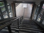
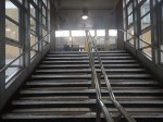
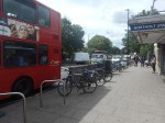
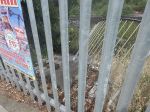
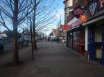
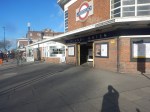
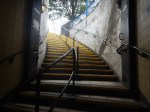
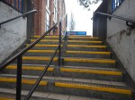
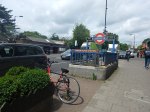
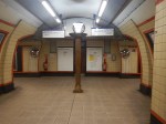
These pictures show Arnos Grove station.

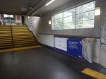
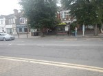


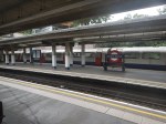
Note.
- Work on the flats on either side seems to have started.
- There are lots of period features.
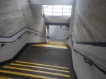
- There will be a lot of work needed on the rather steep stairs.
- There will be a need for at least three lifts.
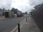
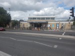
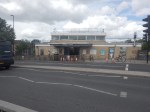
This page on Connected Living London, has a plan of the development.
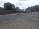
- Gardens are shown each side of the iconic station.
- The gardens can be accessed from the pavement in front of the station.
- Southbound buses draw up in front of the station.
- A zebra crossing gives access to the Northbound buses on the other side of the road.
I suspect that there will be step-free access to the station bridge over the tracks from both gardens.
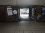
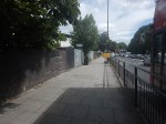
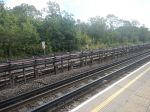
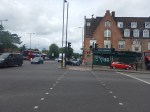
Northolt Station
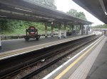
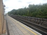
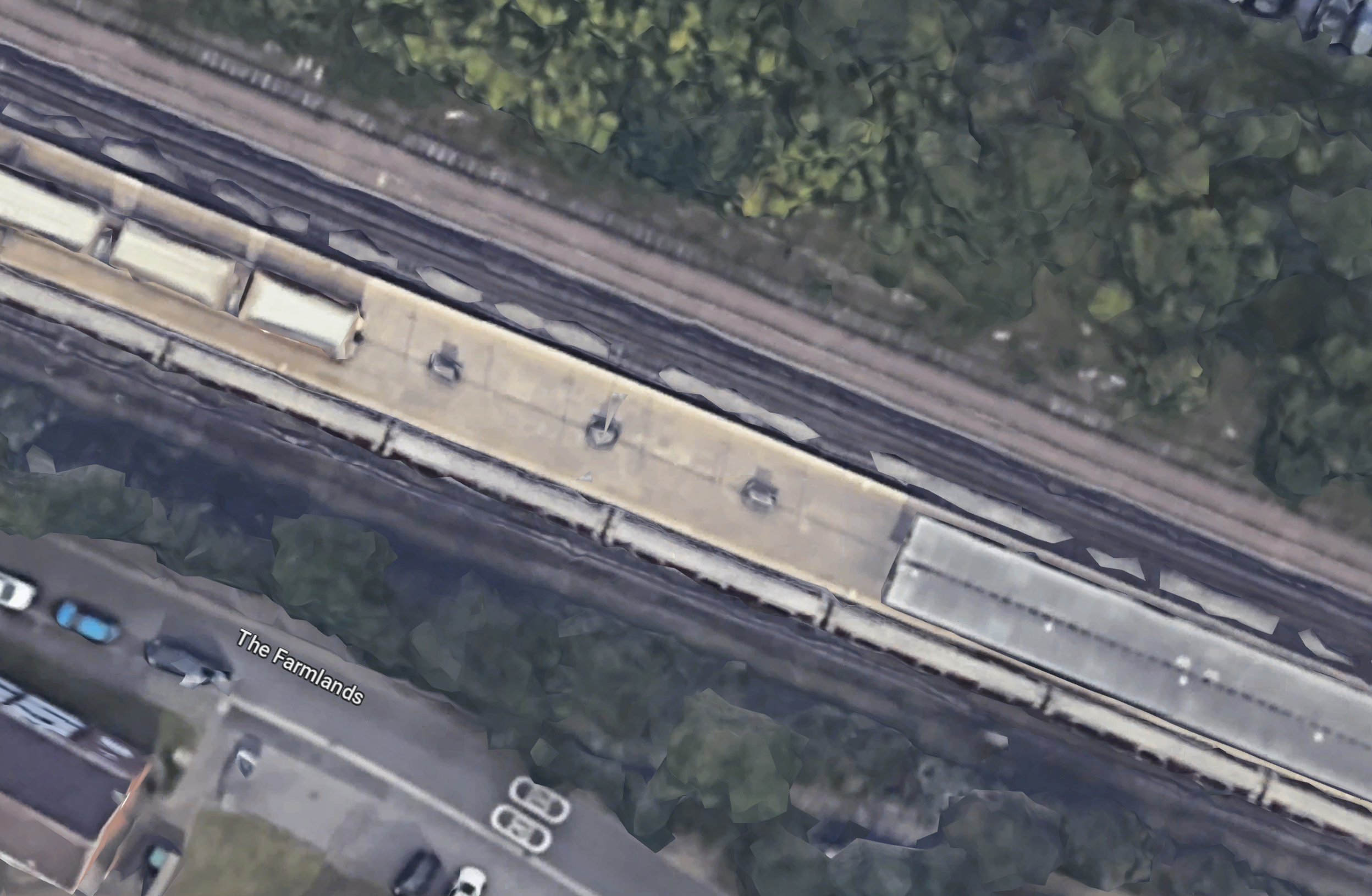
This Google Map shows Northolt station.
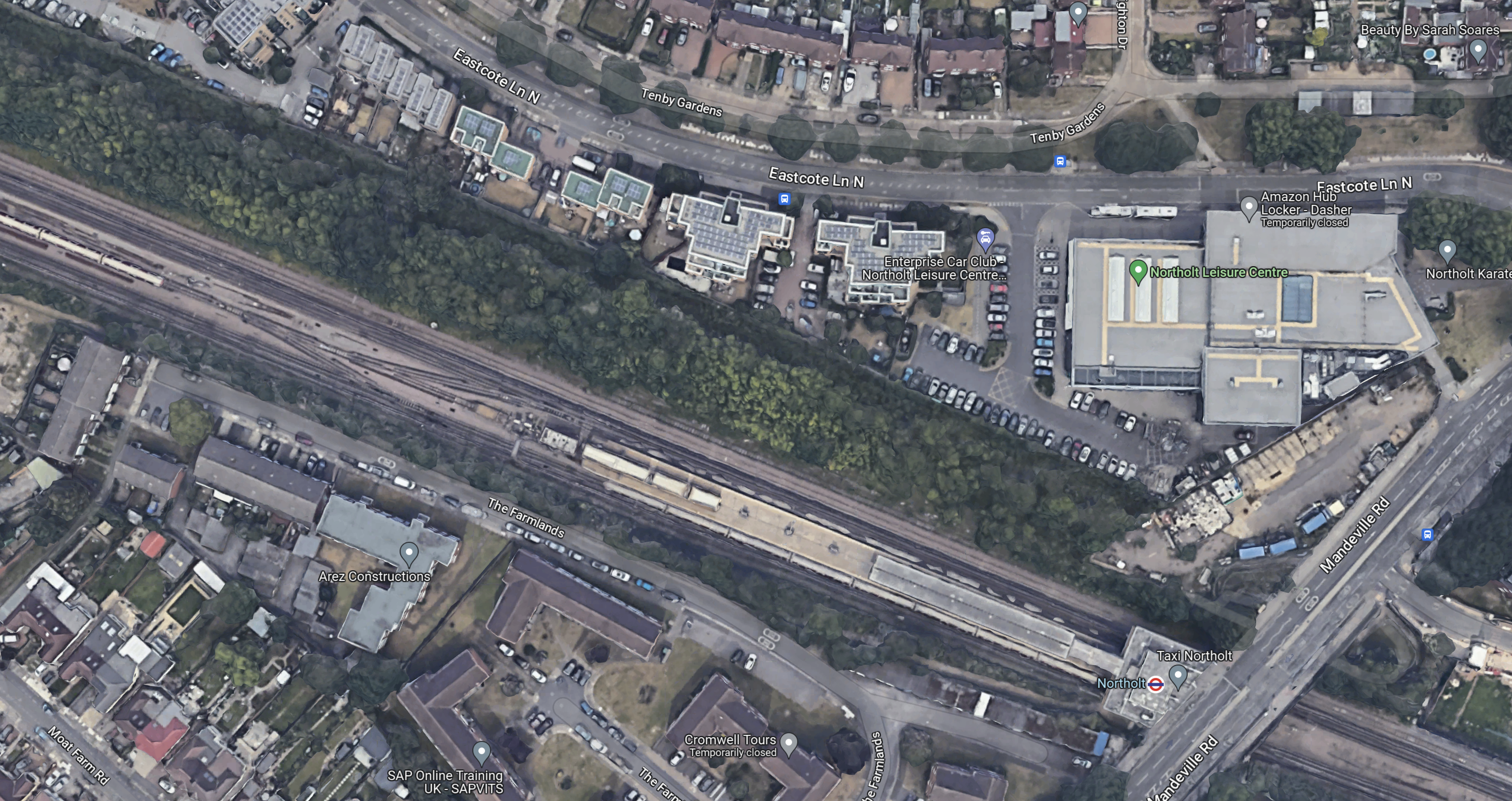
Note.
- The station entrance in the South-East corner of the map on Mandeville Road.
- The long island platform stretching North-West from the station building.
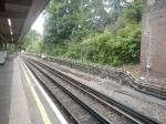
- An eight-car 1992 Stock train is in the Southern platform going West.
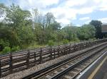
- The land on the Northern side of the railway appears to be low-grade woodland, which is quite similar to that at Arnos Grove station.
This map from cartometro.com shows the lines through Northolt station.
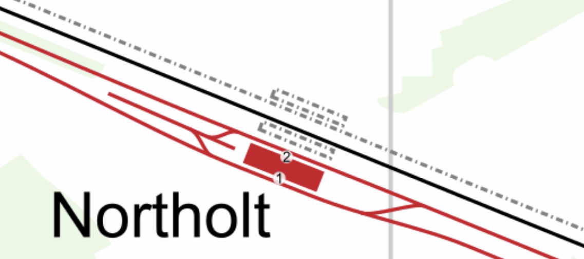
Note.
- The Central Line is shown in red.
- The Central Line is laid out so that there are two ways of turning a train back to London.
- The single-track Acton-Northolt line is shown in black.
- The former second track if the Acton-Northolt line is shown dotted, as are the two former platforms.
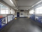
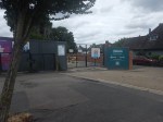
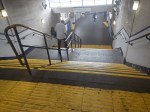
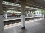
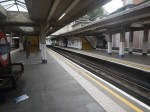
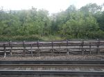
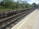
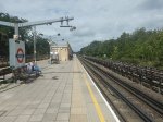
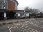
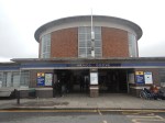
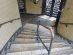
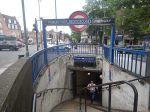
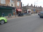
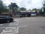
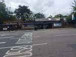
These pictures show Northolt station.
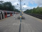
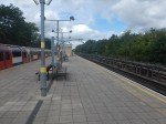
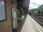
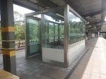
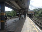

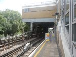
Note.
- The station is showing signs of a sympathetic refurbishment.
- The steps down to the platform is a double set of steps separated by a handrail.
- There is a stylish glass shelter.
- There doesn’t seem much space for a lift to the station entrance.
It should also be noted that for eleven in the morning, the station seemed busy.
These are Underground passenger figures for 2021 in million for stations between Hanger Lane and West Ruislip.
- Hanger Lane – 1.47
- Perivale – 1.08
- Greenford – 2.05
- Northolt – 2.47
- South Ruislip – 0.89
- Ruislip Gardens – 0.48
- West Ruislip – 0.71
Note.
- Greenford, South Ruislip and West Ruislip have some extra National Rail passengers.
- Greenford is the only station between Hanger Lane and West Ruislip, with full step-free access.
- Greenford station uses an inclined lift and I wrote about it in The Inclined Lift In An Improved Greenford Station.
As Northolt is the busiest station without step-free access, this is probably sufficient reason for step-free access to be installed.
Could Step-Free Access At Northolt Be Linked To Property Development?
This Google Map shows a close-up of the station building and Mandeville Road.

Note.
- The station building is marked by the London Transport roundel.
- To the North of the station, is Northolt Leisure Centre, which was opened in 2010.
- Mandeville Road runs across the map to the East of the station and the Leisure Centre.
- In the South-East corner of the map, thee looks what could be a High Speed Two site, marked out with red and white barriers.
- Between the station and the Leisure Centre, there appears to be a site used for parking trucks.
Could it be possible to develop step-free access from the site to the North of the station?
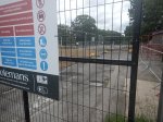
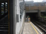
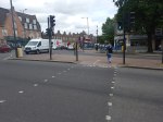
This second set of pictures show that site.

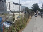
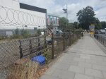
Note.
- The site is rather a dump.
- There is even a subway.
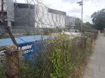
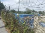
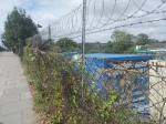
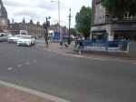
This third set of pictures, show the land on the other side of the Acton-Northolt line from the platform at Northolt station.
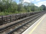

There are certainly possibilities! Especially if, housing were to be developed alongside the Northern side of the railway.
I suspect, that there could be a bridge across the railway, at this position in the station.
Certainly something would be possible.
Conclusion
Property development at both Arnos Grove and Northolt station would probably need step-free access at both stations.
If the BBC report was right, then to build the step-free access as the first part of the projects, is probably a good idea, as passengers get some early benefits.
I suspect though, that we’ll get a press release that says what is actually happening in a few days.
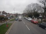
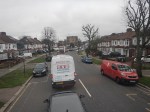
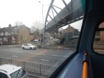
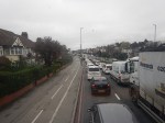
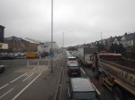
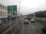
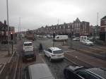
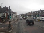
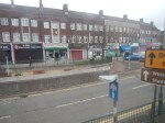
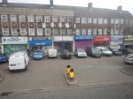
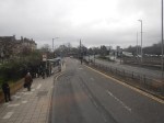
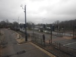
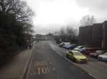
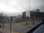
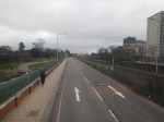
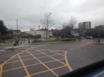
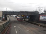
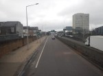
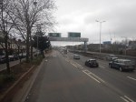
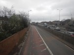
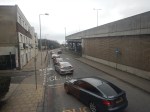
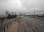
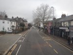
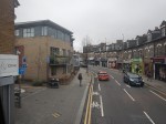
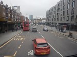
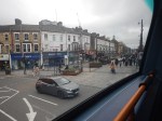
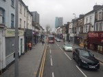
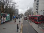
Riding The 34 Bus Between Arnos Grove Station And Walthamstow Bus Station
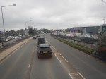
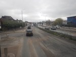
To continue on the route of the Superloop, I needed to get to North Walthamstow bus station, so I took a 34 bus from Arnos Grove station to Walthamstow bus station. I took these pictures.


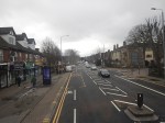
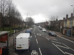
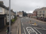

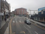
Note.
- The route was along the North Circular Road and then into Walthamstow from the Crooked Billet roundabout.
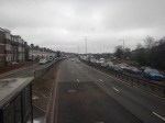
- The North Circular Road was grade separated but quite congested.
- The North Circular Road has a 40 mph speed limit.
- There was only one station on the route; Silver Street, by the North Middlesex Hospital.
- Walthamstow bus interchange is by Walthamstow Central station and has reasonable amounts of space.
The journey took about 67 minutes.
I have two thoughts.
The Route Of The Bus 34 Could Be Part Of The Superloop
I feel my journey today, proved that this would be part of a feasible Superloop leg between North Finchley and Walthamstow Central bus stations.
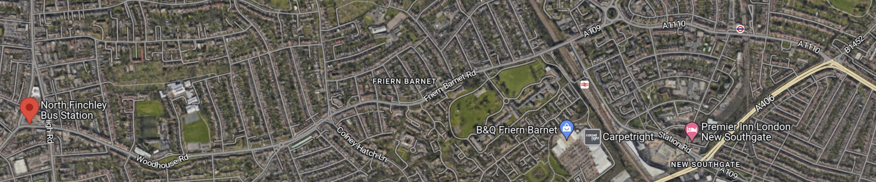
This Google Map shows the route between North Finchley bus station and Arnos Grove Underground station.
Note.
- North Finchley bus station is shown by the red arrow!
- Arnos Grove Underground station is shown by an Underground roundel in the North-East corner of the map.
- The light yellow road at the East side of the map is the North Circular Road.
There would appear to be a road connecting North Finchley bus station and Arnos Grove Underground station, that runs across the top of the map.
The road passes to the North of New Southgate station, which could be one of the Northern termini of Crossrail 2.
Edmonton
This Google Map shows the North Middlesex University Hospital.
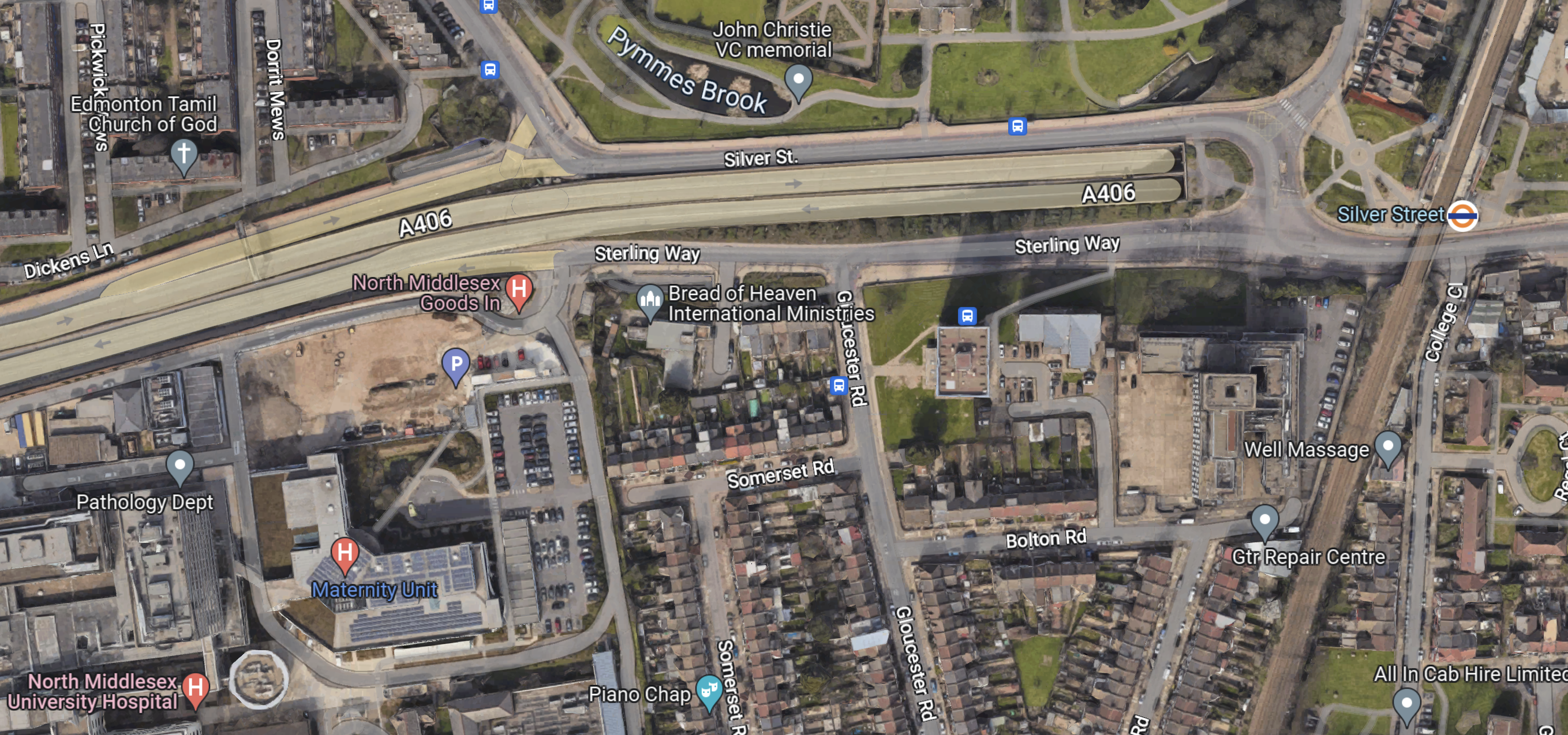
Note.
- The North Circular Road running across the map.
- The North Middlesex University Hospital in the South-West corner of the map.
- The London Overground and Silver Street station in the East of the map.
- There are several bus stops in the area.
This area could be turned into a comprehensive and very useful transport interchange.
Conclusion
The Superloop leg between North Finchley and Walthamstow Central bus stations has possibilities.
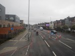
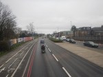
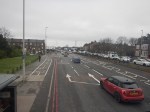
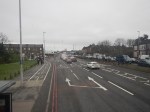
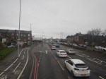
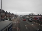
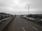
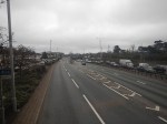
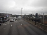
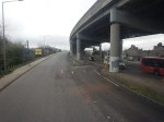
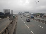
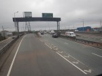
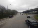
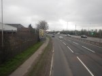
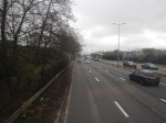
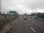
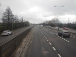
Superloop – Will It Be The North Circular Road Most Of The Way Between Harrow And Royal Docks?
This draft map from TfL illustrates the concept of Superloop.
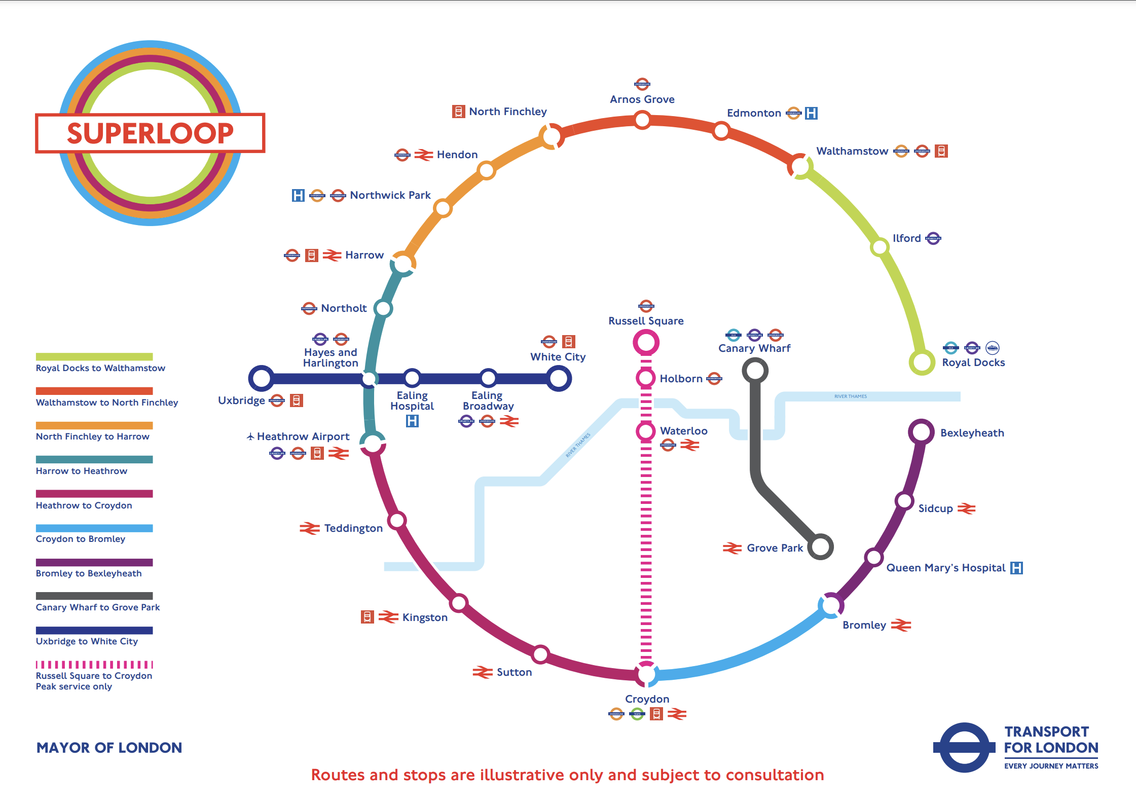
In this post I am considering the section of the the North Circular Road (A406) between the Hangar Lane Gyratory System, where it crosses the A40 in the West and the roundabout , where it crosses the A13 at Beckton in the East.
- This section is a grade-separated dual-carriageway all of the way between Hangar Lane and Beckton.
- Hendon, North Finchley, Arnos Grove, Edmonton, Walthamstow, Ilford and Royal Docks are not far from the A406.
- Several bus routes already run on the A406.
The large Brent Cross Shopping Centre is also just outside the A406 and a new Brent Cross West station will be opening soon.
I’ll now look at the three Northern and North-Eastern sections.
Harrow And North Finchley
This section is shown in orange.
- It calls at Northwick Park hospital and Hendon. both have rail connections.
- Brent Cross Shopping Centre could be on the route, if the A406 is used.
- London Bus 182 runs between Harrow bus station and Brent Cross Shopping Centre via Northwick Park hospital.
Could the 182 bus be extended to North Finchley, where there is a new bus station?
This Google Map shows the stations around the Brent Cross Shopping Centre.
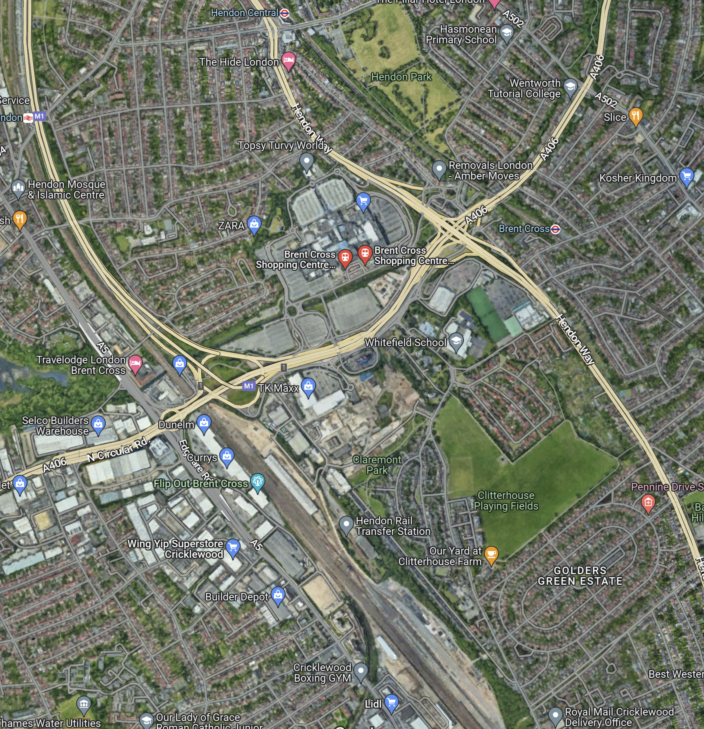
Note.
- The railway running between the North-West corner of the map and the bottom of the map is the Midland Main Line.
- The road running between the North-East corner of the map and the left of the map is the North Circular Road.
- The road running down the right hand side of the railway is the M1, which joins the A406 in the large junction.
- The other major road to the right of the map, is the Hendon Way.
- The station in the North-West corner of the map is Hendon.
- The station being built in the bottom of the map on the Midland Main Line, is the new Brent Cross West station.
- The station in the North-East corner of the map is Brent Cross on the Northern Line.
I am certain that a Superloop bus could run from Harrow bus station and Northwick Park hospital, and visit the required number of the stations around the Shopping Centre, before trundling on to the new North Finchley bus station for some refreshment before returning to Harrow.
I feel that the Superloop bus could use the North Circular Road from the shopping centre and then turn North on to Finchley High Road (A 1000).
North Finchley And Walthamstow
This section is shown in red.
- It calls at Arnos Grove and Edmonton.
- London Bus 34 runs between Walthamstow bus station and Barnet. It runs for some of the way along the North Circular Road and passes Arnos Grove, Silver Street and the North Middlesex Hospital.
I am certain, that a Superloop bus could run between Walthamstow bus station and North Finchley, using a similar route to the 34.
Walthamstow And Royal Docks
This section is shown in lime.
- It calls at Ilford for the Elizabeth Line.
I am certain, that a Superloop bus could run between Walthamstow bus station and Royal Docks, using a the A406 and the A13.
Conclusion
After this simple analysis, it looks possible to use the use the North Circular Road between Harrow and Royal Docks.
New Fast Bus Service To Link London’s Outer Boroughs
The title of this post is the same as that of this article on the BBC.
This is the sub-heading.
A new fast service bus network has been announced for London’s outer boroughs.
These three paragraphs outline the concept.
Six new routes will be created and four incorporated into the ‘Superloop’ network, complete with distinct branding.
The plans propose a fast service to make more stops linking many of the peripheral boroughs.
The network is part of London Mayor Sadiq Khan’s effort to compensate for the impact of the ultra-low emission zone expansion, due to start in August.
This draft map from TfL illustrates the concept.
In the draft map, the following can be discerned.
- Arnos Grove station is in the North.
- West Croydon station is in the South.
- Royal Docks and Bexleyheath are in the East.
- Uxbridge and Hayes & Harlington stations are in the West.
- Elizabeth Line stations on the route include Ilford, Custom House, Heathrow Airport and Hayes & Harlington.
The plan may work well, as in the 1950s and 1960s, I used the 107 bus route very regularly, as it cut a circular path between Queensbury in the West and Enfield in the East.
I have some thoughts.
Royal Docks And Bexleyheath
This Google Map shows the Royal Docks.

Note.
- The dotted red line indicates the Royal Docks.
- The runway of the London City Airport can be seen.
- Custom House station on the Elizabeth Line is served by the Elizabeth Line and the Docklands Light Railway.
This second Google Map shows the Western end of the Royal Victoria Dock.

Note.
- Custom House station is in the North-East corner of the map.
- The Excel is on the East end of the map.
- London City Hall is at the Western end of the Royal Victoria Dock.
- The cable-car to Greenwich connects to the area.
I would suspect that the bus from Walthamstow will terminate close to City Hall and the cable-car.
This Google Map shows the Royal Docks and Bexleyheath.
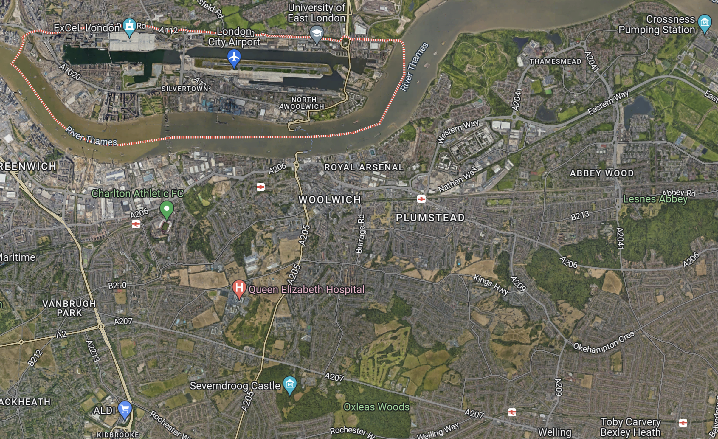
Note.
- The dotted red line indicates the Royal Docks.
- Bexleyheath station is in the South-East corner of the map.
I wouldn’t be surprised to see the Mayor organise a bus, through his new pet project; the Silvertown Tunnel.
Electric Or Hydrogen
Ideally, the buses will need to be zero-carbon; which means battery-electric or some form of hydrogen power.
Birmingham has a similar series of express routes, that run across the city, which I wrote about in Riding Birmingham’s New Hydrogen-Powered Buses.
I feel that long routes like some of these are should be run with hydrogen-powered buses, because of there longer range.
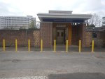
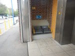
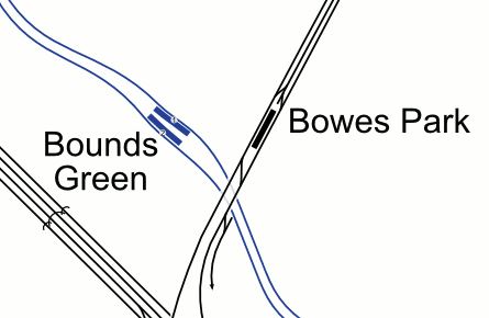
The Bowes Park And Bounds Green Out-Of-Station Interchange
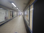
After I’d taken the latest pictures in Bowes Park Station – 12th January 2023, I walked to Bounds Green station to go back South to the Angel.
I took these pictures on the way.
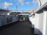
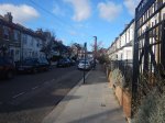

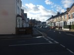


Note.
- The walk is level and could be done easily, if you were pushing a buggy, dragging a case or in a wheel-chair.
- There is a footbridge over the busy Bowes Road, which doesn’t have lifts. But you don’t need it to go between the stations.
- There is a light-controlled crossing outside Bounds Green station to cross Brownlow Road.
- The walk took me about six minutes.
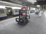
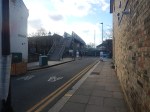
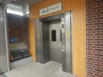
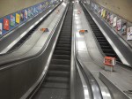
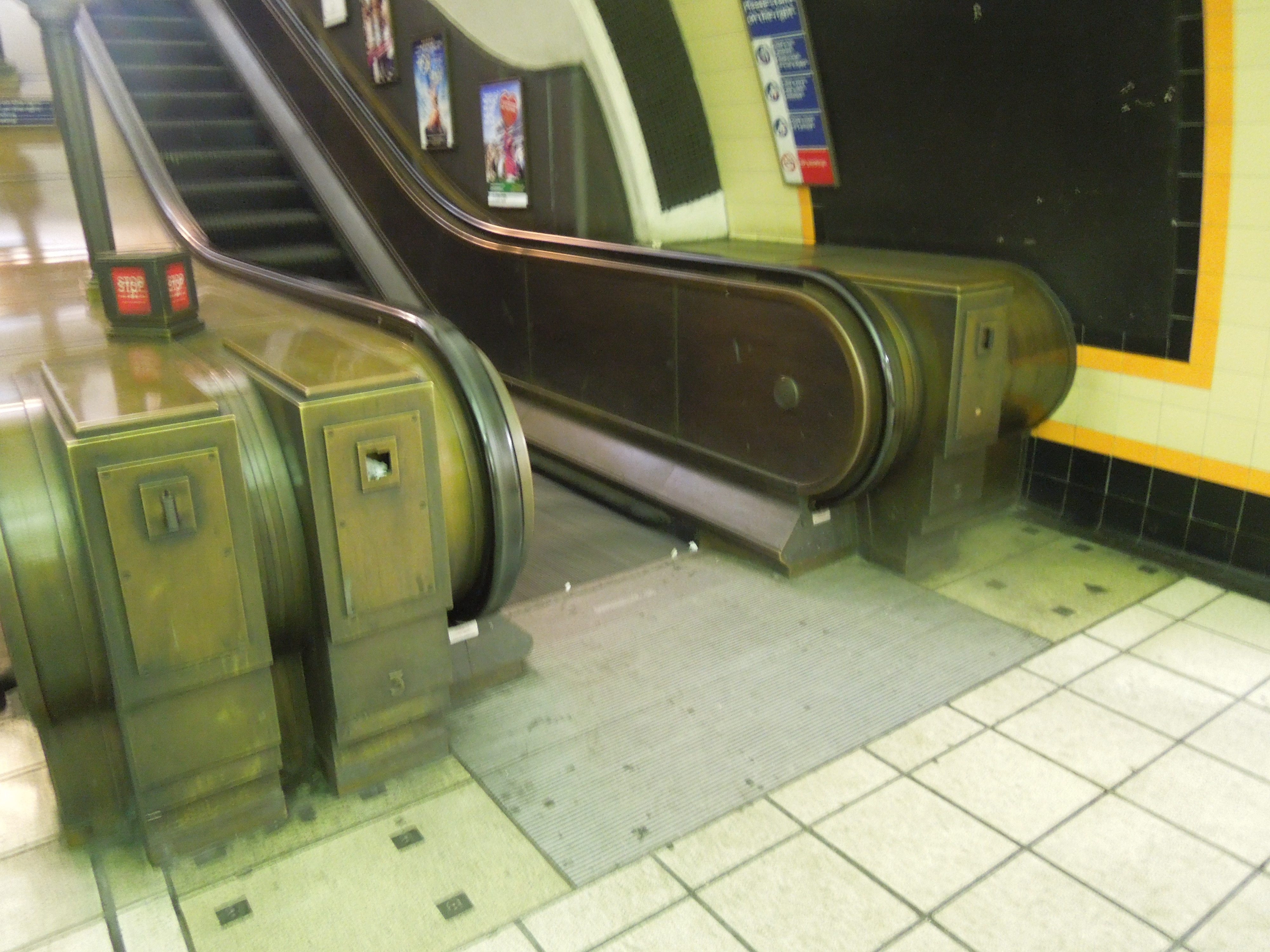
These pictures show the escalators at Bounds Green station.
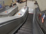
Could the central stairs be replaced by an inclined lift?
Would This Out-Of-Station Interchange Create An Easy Route Between Northern Piccadilly Line Stations And The Elizabeth Line?
Consider.
- Cockfosters, Oakwood and Arnos Grove stations have car parking.
- All stations on the Piccadilly Line from Bounds Green Northwards are well-connected by buses.
- Bounds Green station has escalators.
- Bowes Park station has stairs.
- Bowes Park station has a well-stocked cafe.
- Moorgate station has escalators and lifts to the Elizabeth Line.
For a perfect route, some things must be done.
The Frequency Of Trains On The Northern City Line
At the moment the trains through the station are two trains per hour (tph) between Moorgate and Stevenage.
But the frequency has been as high as four tph.
The frequency needs to be higher to cut waiting for a train.
Step-Free Access
This needs to be installed or improved at Bounds Green, Bowes Park and Moorgate stations.
Signage
The route between Bowes Park And Bounds Green stations needs better signage.
Conclusion
This Out-Of-Station Interchange could be made more use of.
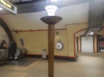
Thoughts On Step-Free Access At Manor House Station
I use Manor House station regularly, as I have a bus-stop by my house, that is perhaps fifty metres from my front door, that connects to the station.
- There is also a zebra crossing to get to the other side of the road.
- The 141 bus actually connects me to Manor House, Turnpike Lane and Wood Green stations on the Piccadilly Line.
- This is because it was a replacement for the 641 trolley-bus route that used to run between Winchmore Hill and Moorgate via. Milmay Park.
- I also use the station as a convenient station to go West on the Piccadilly Line.
- As it connects step-free at Finsbury Park station to the Victoria Line, it certainly has its uses.
Click this link to see an excellent photo of a 641 trolley-bus at Manor House station.
The pub in the photo was the Manor House, where I saw such performers as John Mayall and Eric Clapton amongst others.
I took these pictures today

The station has an unusual layout.
-
-
- Two major roads; the Seven Sisters Road (A503) and Green Lanes (A 105) cross at the station.
- The four major roads are all controlled by traffic lights, which also allow pedestrians to cross the major roads safely on the surface.
- There are a couple of staircases at each corner of the junction and these lead down to a maze of passages that connect these entrances to the escalators that lead up and down to the platforms.
- The former Manor House pub and a new Travel Lodge sit opposite each other on the junction.
- The Travel Lodge sits on the South-West corner.
- The North-West corner leads directly into Finsbury Park., which is not a bad place to go for a walk or a jog.
-
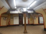
The below ground subways in the station are all level.
The staircases between subway and street level are very reminiscent of those at Piccadilly Circus or Leicester Square stations.
The staircases also have some excellent period details.
But then they tend to do things as they should in my part of North London.
This picture was taken after a World Cup Third!
What will happen, if England win the Euros?
Manor House station’s design can best be summed up as two level areas connected by a series of staircases.
- Central London stations with this layout include Bank, Cockfosters, Kings Cross St. Pancras,Leicester Square, Manor House, Piccadilly Circus. Tottenham Court Road and Victoria.
- At least Cockfosters, Kings Cross St. Pancras, Tottenham Court Road and Victoria have lifts between the two levels.
- Bank station will have more lifts than Oti Mabusi in a dance routine, after the rebuild.
- Old Street was similar, but Transport for London (TfL) are rebuilding the station.
Cockfosters has level access at both the surface and the platform level and they have sneaked in a lift in a corner of the station.

Grandparents in a wheel-chair or Louis or Lilibet in a pushchair can easily be taken easily between train and the car-park.I am certain, that if there are a number of lifts at the four corners of the road junction at Manor House, then access both to the station and across the junction will be substantially eased.
That just leaves us with the problem of getting between subway and platform levels.
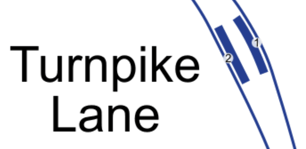
This map from cartometro.com shows the platform layout.

Note that as at Turnpike Lane station in this platform layout, there is also a generous space between the platforms.
The two escalators and a set of stairs face North.
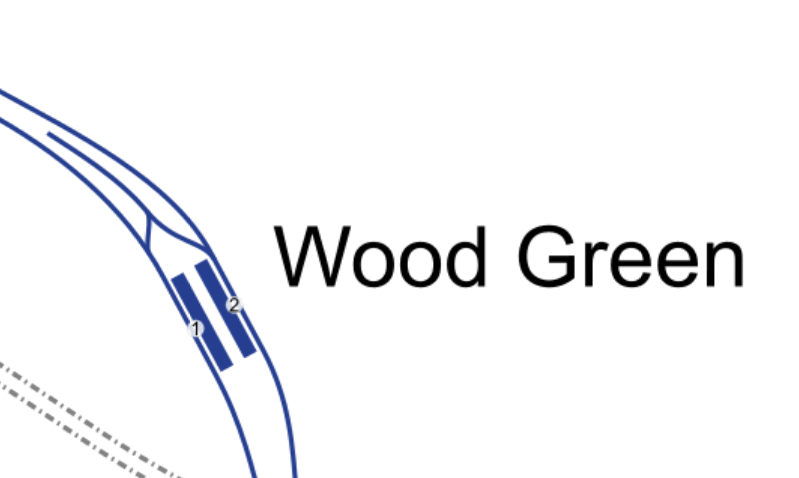
Wood Green station is a bit different, as it has a turnback siding
The two escalators and a set of stairs also face South.
When I used to use the Piccadilly Line in the 1960s, it tended to be pain, if a Wood Green train turned up, when you wanted to go to Oakwood or Cockfosters.
Bounds Green station is shown in this map.
Again the tracks appear to have been curved to allow generous space.
The two escalators and a set of stairs face North.
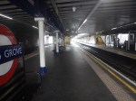
Arnos Grove station is a station with sidings and four platforms on the surface.
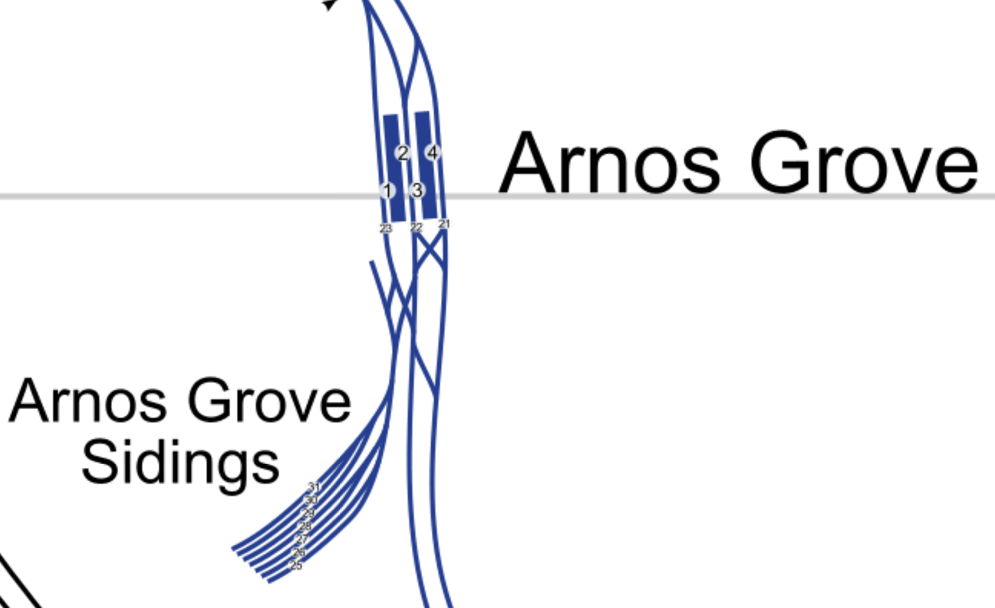
The car parks are likely to be developed for housing, so there will be major changes at the station.
Southgate station is the last station, that doesn’t have step-free access.
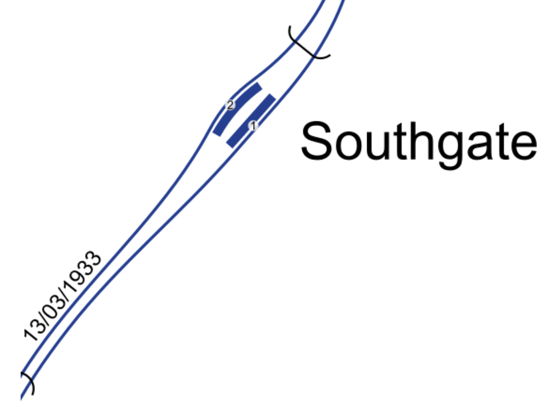
But again there is some space between the tracks.
The two escalators and a set of stairs face North.
So did the designers of the Northern Extension of the Piccadilly Line leave space to put in more equipment or even lifts?
After all they didn’t stint themselves on the design of the stations.
Designing Step-Free Access
This is not easy and various considerations must be taken into account.
Revenue Protection
At Cockfosters station, the new lift goes between two areas that are outside the ticket barriers.
If as I have proposed at Manor House station, where there would be lifts between the surface and the subway level, both areas are outside the ticket barriers.
At Tottenham Hale station, there several lifts all of which are inside the ticket barrier.
Staff At The Barrier
Nearly all ticket barriers in London are watched by staff to sort out problems like passengers, who don’t know how to use the system.
Costs
It is unlikely, that large sums of money will be available to add step-free access to all stations on the Underground.
I also think, that step-free access at stations will be funded by developments close to stations.
A London-Wide Solution
It is for these and other reasons, that I think London needs to look in detail at all stations and see if a series of solutions can be developed for all stations.
In this section of the Piccadilly Line, there are five stations with three escalators or two escalators and a staircase.
But there are others on the other deep tube lines.
So should a standard solution be developed for all stations like this? And for all groups of similar stations.
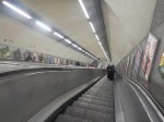
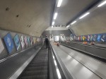
Could An Inclined Lift Be Used At This Group Of Stations?
This picture shows the first inclined lift, I ever saw, which was on the Stockholm Metro.
Looking at the picture shows it was installed on a very long set of escalators.
At present, there is only one inclined lift on the London Underground and that one is at Greenford station.

It is a very neat and compact installation, that incorporates a double-staircase, an up escalator and an inclined lift in a confined space.
I think we’ll see similar solutions to Greenford employed in some stations on the Underground. In Is This A Simple And Affordable Solution To Providing Step-Free Access At Essex Road Station?, I outline how an inclined lift could be used at Essex Road station.
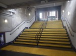
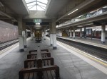
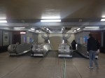
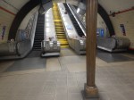
These pictures show the three escalators at Manor House station.
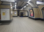
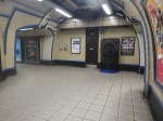
Note.
- The middle escalator was switched off.
- There is a spacious lobby at the bottom of the escalators.
The other four below-ground stations North of Finsbury Park; Turnpike Lane, Wood Green, Bounds Green and Southgate all have two escalators and a central staircase
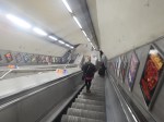
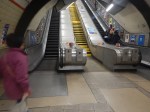
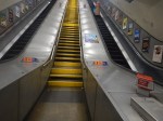
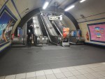
These pictures show Bounds Green station.
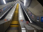
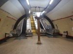
Note that the stairs are in the middle.
It looks to me, that all five escalator systems to the North of Finsbury Park are more or less identical.
- Only Manor House has a third escalator.
- There is a large lobby at the bottom.
- All stairs are in the middle escalator slot.
- Are the stairs designed to be replaced with a third escalator?
So would it be possible to design an inclined escalator solution for all stations, that fitted all of the stations?
I think it might be very much a possibility.
- The central staircase would be replaced by a third escalator.
- One of the outside escalators would be replaced with an inclined lift.
Note
- Many of these escalators were probably installed in the early 1990s, a few years after the Kings Cross Fire.
- Escalators are replaced regularly every ten or twenty years.
So could the installation of the inclined lifts, be worked into the schedule of escalator maintenance and replacement?
I believe with good project management it could be arranged.
- At no time during the works would any station have less than two escalators.
- If there were to be an escalator failure, all of the stations are connected by frequent buses and some are even within walking distance.
The works could also be arranged to fit in with available cash-flow.
I believe that eventually all these stations will need to be provided with full step-free access.
Conclusion
I believe that a sensible program of works can be developed to make all deep-level stations North of Finsbury Park step-free on the Piccadilly Line.
- The deep-level platforms would be served by two escalators and an inclined lift.
- The works would be performed alongside the regular maintenance and replacement of the current escalators.
- There would be no substantial tunneling.
- The works could also be arranged to fit in with available cash-flow.
The technique would be applicable to other stations on the Underground network.
Turnpike Lane Station
In Is Turnpike Lane Tube Station Going Step-Free?, I tried to explain the puzzling works going on at Turnpike Lane station.
Could those works be digging a lift-shaft or something in a more engineering line, like installing more ventilation or new power cables?
There’s certainly no clues on the Internet.
This table shows step-free status and 2019 passenger numbers at the Piccadilly Line stations to the North of Kings Cross St. Pancras station.
- Cockfosters – Step-Free – 1.86 million
- Oakwood – Step-free – 2.78 million
- Southgate – 5.43 million
- Arnos Grove – 4.44 million
- Bounds Green – 5.99 million
- Wood Green – 12.13 million
- Turnpike Lane – 10.6 million
- Manor House – 8.55 million
- Finsbury Park – Step-free – 33.40 million
- Arsenal – 2.77 million
- Holloway Road – 6.69 million
- Caledonian Road – Step-free – 5.60 million
- Kings Cross St. Pancras – Step-free – 88.27 million
Note.
- The high passenger numbers at Finsbury Park and Kings Cross St. Pancras, where there is interchange with lots of other services.
- The long gap of step-free access between Oakwood and Finsbury Park.
- Arnos Grove could be an easier station to make step-free.
I just wonder, if a lift at Turnpike Lane station could be the interim solution, until inclined lifts are installed in the distant future.
Go-Ahead For West London 460-Home Build To Rent Scheme
The title of this post, is the same as that of this article on Construction Enquirer.
This is the first paragraph.
The scheme is the first to be brought forward by Connected Living London, a partnership between build to rent specialist Grainger and Transport for London.
This must be the way for London to get best value from all the suitable sites for housing, owned by Transport for London.
Four sites are mentioned in the article.
- Next to Southall station
- Next to Arnos Grove station
- Montford Place in Kennington. which is currently being used as a construction site for the Northern Line Extension.
- Above the new Nine Elms station on the Northern Line Extension.
These are some thoughts on the sites.
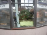
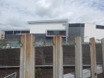
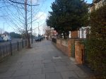
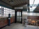
Arnos Grove Station
The developers will have to be careful, with the design at Arnos Grove station, as it’s a Grade II* Listed building.
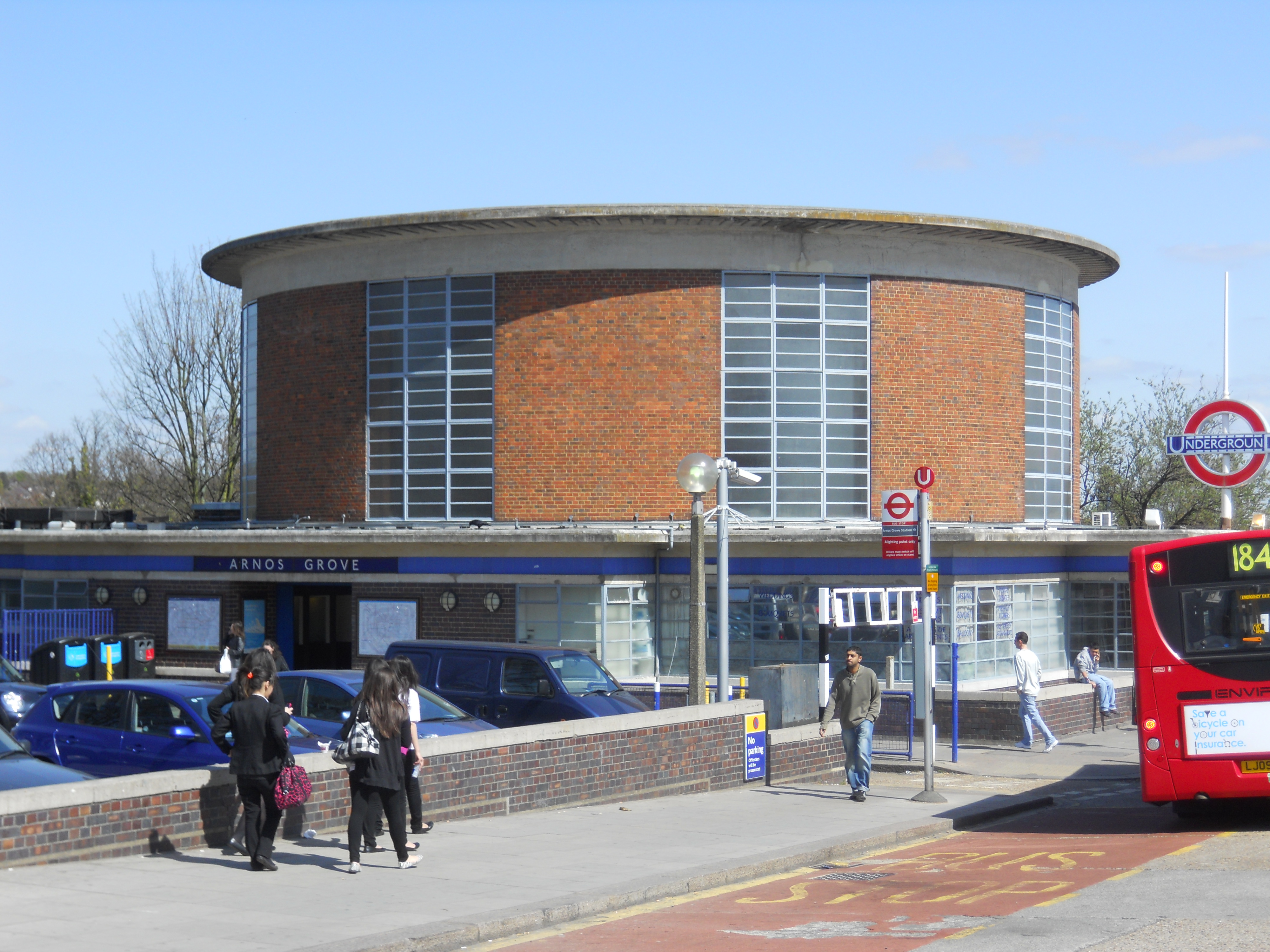
This Google Map shows the station.

I never knew, that the station had so much parking.
Will the development be over some or all of this car parking?
This article on Ian Visits is entitled Plans To Build Flats On Arnos Grove Tube Station Car Park.
Ian says that there will be four blocks, with a total of162 rental homes, of which 40 % will be affordable.
- It doesn’t seem to be high density or high towers.
- A map shows it is not over the railway.
Ian also says this about the loss of car parking.
Unsurprisingly, there are local objections to the plans to remove the car park with nearly 300 parking spaces, although TfL counters that a third of the people who currently drive to the station living within walking distance.
But then many people never drive very far from where they live. For environmental reasons, perhaps fossil fuel vehicles should pay a Movement Tax of say five pounds, every time the vehicle is moved in a built-up area. Zero-emission vehicles would be exempt!
Montford Place
I took these pictures of the Montford Place site in July.

This site could be sensitive too! But surely, the residents don’t want an ugly utilitarian headhouse for the ventilation shaft of the Northern Line Extension.
This Google Map shows the site.

It is not small, judging by the two buses at the side.
There’s also a large hole to cover!
Going Back To My Childhood
Well, not really! But this afternoon, I did go back to the northern reaches of the Piccadilly line. The aim was to look at the escalator layout of the stations to see how difficult they would be to upgrade to step-free access, possibly using inclined lifts, as I outlined here.
I joined the line at Manor House station, but didn’t go all the way to Cockfosters, as the last two stations, don’t have escalators. Starting from the end of the line, here’s what I found.
Cockfosters – This station could probably be made step-free by fitting conventional lifts into the structure to access the tunnel under Cockfosters Road. Once in the tunnel, the station is then step-free to the platforms.
Oakwood – Looking at the ends of the various Underground lines, the end station is more often than not step-free. But in the case of the northern end of the Piccadilly line, Oakwood was made step-free rather than Cockfosters.
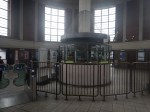
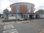
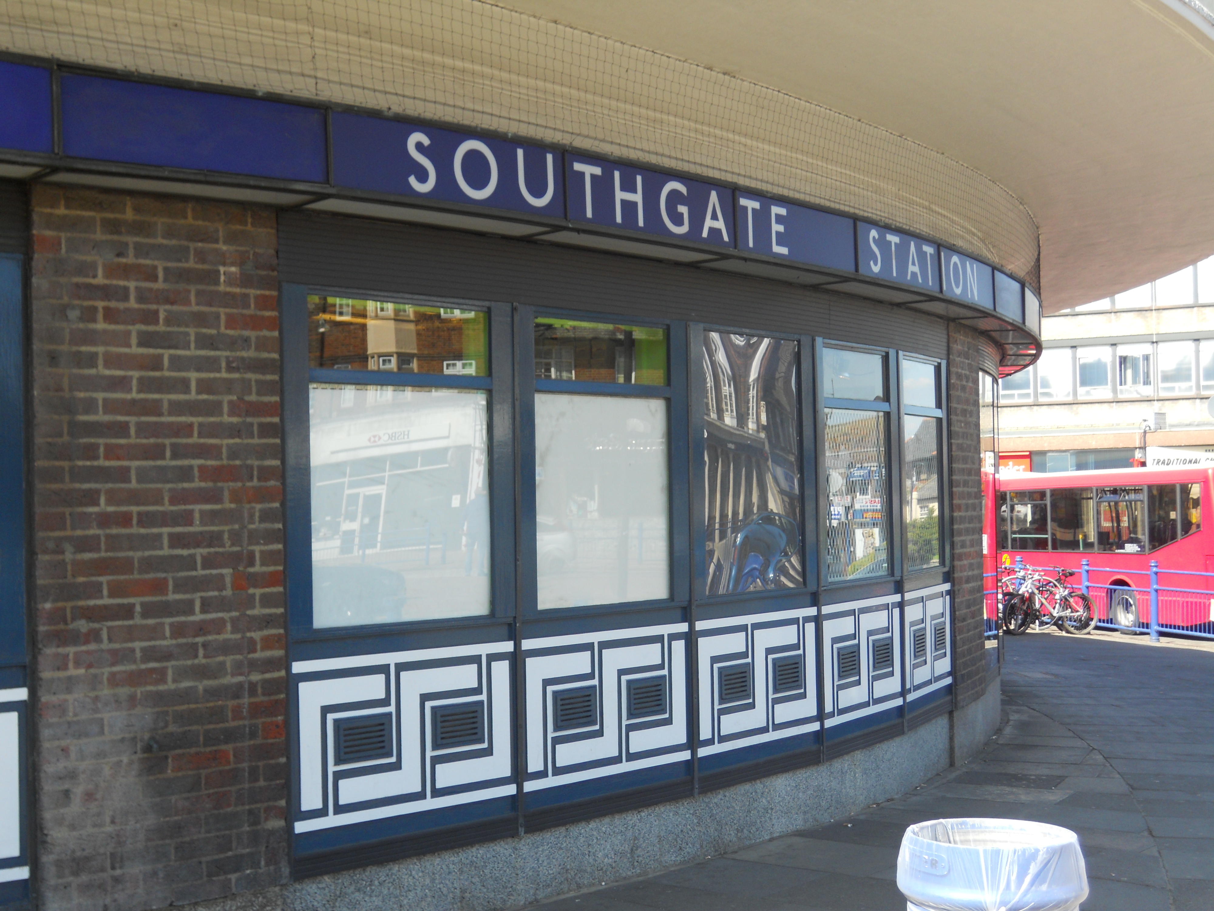
Southgate – When I mused about fitting an inclined lift at this station in this post, I said it would be a challenging design problem. Southgate is one of the architectural jewels of the line and this picture shows why.

Escalators and Uplighters At Southgate Station
It is a gem of 1930s design and architecture with all that bronze, even if the yellow paint on the stairs in the middle for health and safety reasons, is out of place. The station may not have the original wooden escalators, but someone had the sense to fit modern treads in the old casing, rather than a complete modern escalator.
Escalator At Southgate Station
This station could take an inclined lift in the central space, but it would have to be done with enormous sympathy using similar materials to the original Charles Holden design.
There would be two other problems with an inclined lift.
As the station is now, it could easily be converted into an Underground station of several decades ago for making a film, as it was for The End of The Affair. I remember it was strange seeing a film, that had been shot in a place I knew so well.
The heritage lobby would have a field day trying to stop the installation. After all the station has won awards for its restoration over the last few years and it is a Grade II* Listed Building.
But all that adds to making it the sort of challenge, that a good designer would relish.
Arnos Grove – This is a surface station and could be made step-free with the addition of lifts in the same manner used on several stations on the Undergound and Overground network.
Bounds Green – Like Southgate, this station is a two escalator and one staircase station, where the staircase could be replaced with an inclined lift. But it doesn’t have the heritage problems of Southgate, as the station has modern escalators.
Wood Green – This is a three escalator station and step-free access would probably have to be installed, by digging a traditional lift shaft. I say shaft, as I suspect because the running tunnels are fairly wide apart, there is probably somewhere to slot in a shaft that served both platforms by descending into the platform level lobby or a cross tunnel, as was done at Tottenham Hale station.
Turnpike Lane – The problems here are similar to Wood Green, as it is another three escalator station, where a traditional lift would have to be sunk from the booking office to the platform levels. But another problem is that some form of lift would be needed to descend to the booking office level, which is below ground.
Manor House – This is very similar in layout to Turnpike Lane, but it would need lifts at seven exits to the surface to be fully step-free.
Finsbury Park – This is almost a low-level station with steps up to a pedestrian tunnel. Conventional lifts could probably be added without too much difficulty. There is a lot of development going on at this station and it will be interesting to see if the step-free access improves. The last time I visited access wasn’t good.
I think that the difficulty of making some of these stations completely step-free, shows how much our attitudes to those with difficulties getting about has changed since the stations were built in the 1930s. Charles Holden’s stations either had escalators or a short flight of steps, like Cockfosters or Arnos Grove. Compare the equipment at these stations with those on the Jubilee line extension, where all stations are fully step-free. But to be fair to Charles Holden, the Victoria line built thirty years after the Piccadilly line even now has only three step-free stations, Tottenham Hale, Green Park and Brixton stations. The Victoria line station, that I use the most; Highbury and Islington is a maze of tunnels and little short of a complete rebuild will improve matters.
Having looked at Southgate and Bounds Green, I think that an inclined lift could be a excellent idea at these two stations. You wouldn’t rip out the central escalator at Wood Green, Turnpike Lane and Manor House, as it was put in because the number of passengers needed it. But at least these three stations have larger platform tunnels, which must help the installation of a conventional lift.
However, putting in an inclined lift would not only make it easier for those in wheelchairs, with babies in buggies or heavy cases, but it would add to the station’s capacity. One point about an inclined lift, is parties where some need the lift and others don’t, can effectively travel up and down together at the same time, with those who can walk on the adjoining escalator. So the size of an inclined lift, may actually be smaller for the same capacity. It would probably also go up and down almost continuously.
Arnos Grove, Southgate and Oakwood
Arnos Grove, Southgate and Oakwood are three London Underground stations at the top end of the Piccadilly line.
I’ve put these in as a gallery, so that I can properly caption all the pictures


-
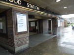
- The Entrance To Oakwood Station
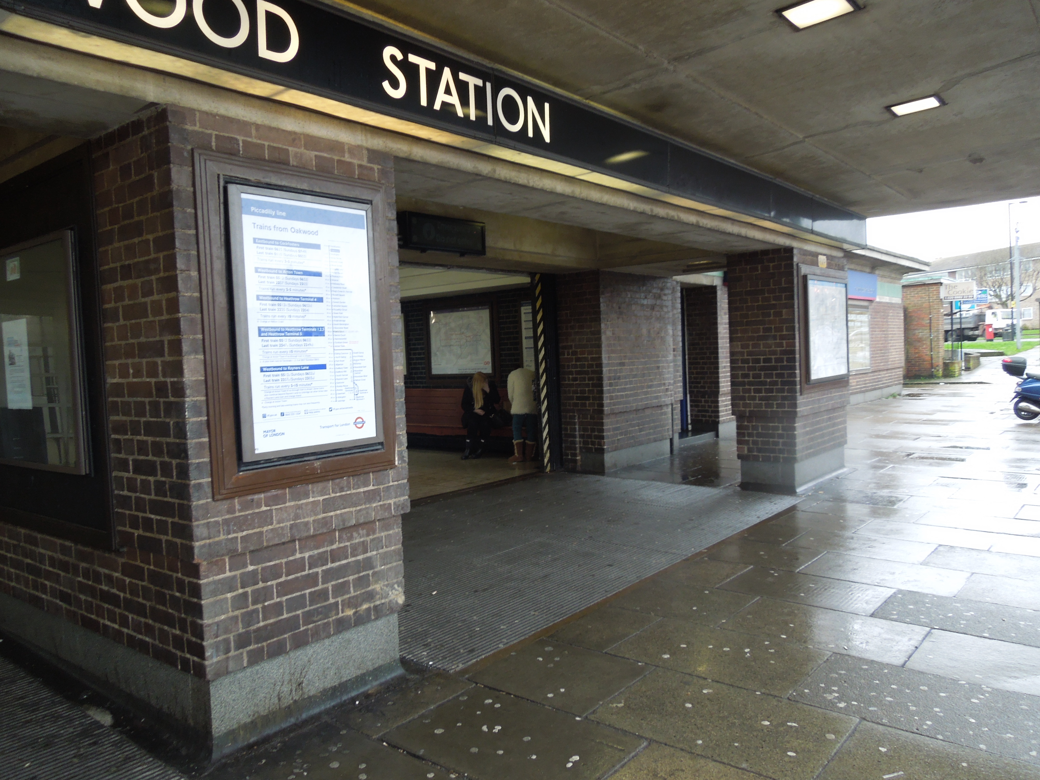

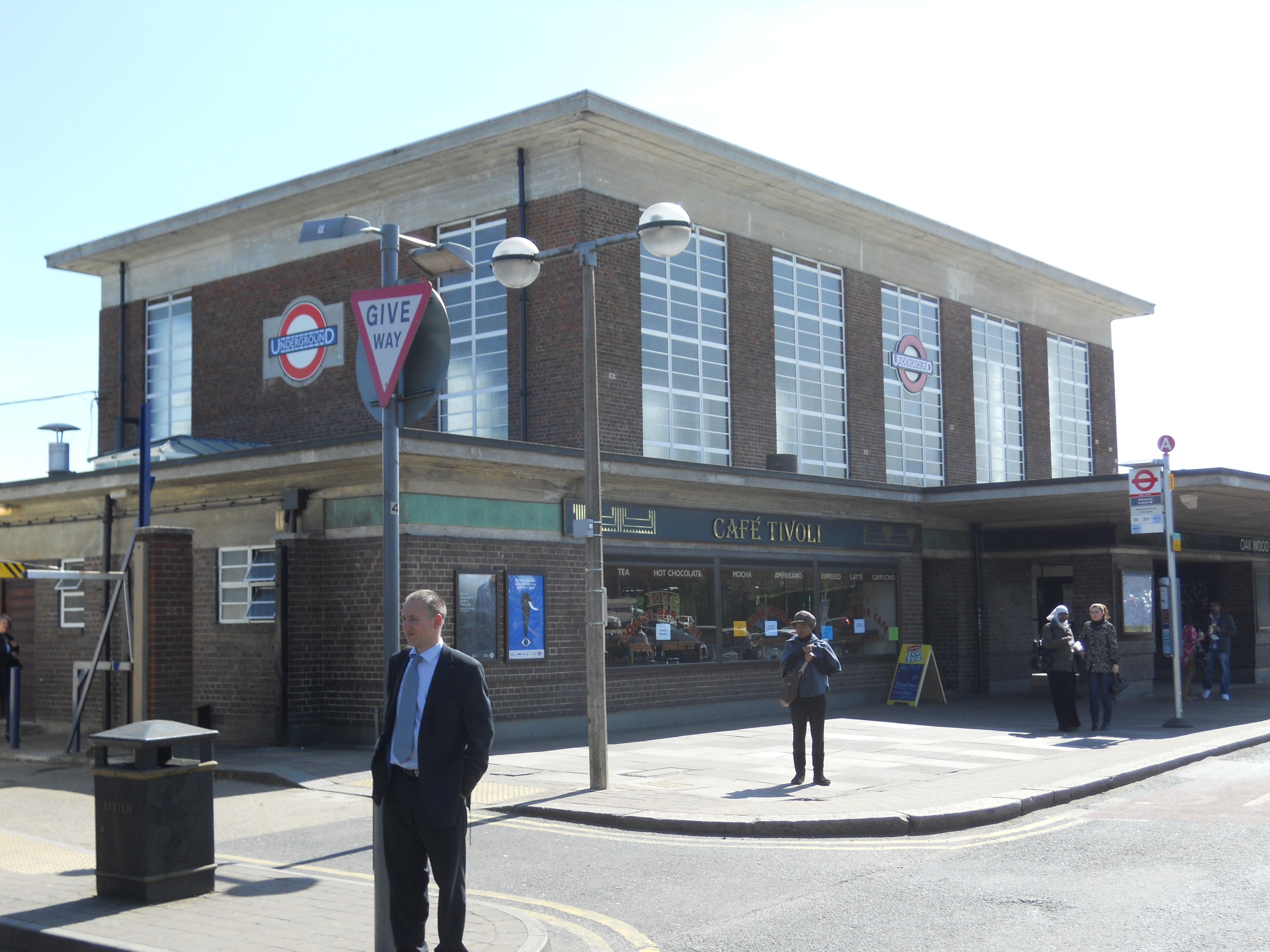

I used to live near Oakwood and probably used the station around a thousand times, mainly to get to Southgate for school.
They have all been recently restored.
There seems to be no sign of the plaque at Oakwood saying that the station is the highest point until you meet the Urals.
