Unlocking Euston Station
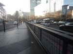
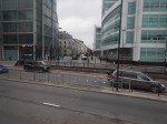
I dread using Euston station.
The connections to the London Underground in the station, involve a long walk to or from your train and then outside the station to.
- The Northern and Victoria Lines just outside the station.
- The sub-surface lines at Euston Square station, which is a long walk.
There is no connection to the Lizzie Line.
I have probably written more project management software, than any other individual in the world.
Good project managers and probably a few bad ones too, talk about getting all your ducks in a row or doing everything in the right order.
If High Speed Two is going to terminate at Euston, then the first sub-project must be to connect Euston station properly to the Metropolitan, Circle and Hammersmith & City or sub-surface lines of the Underground, which have new spacious air-conditioned trains and run on a line that is digitally signally, so the capacity can be easily increased.
The sub-surface lines also link, the National Rail stations of Liverpool Street, Moorgate, Farringdon, King’s Cross, St. Pancras, Euston, Paddington, Victoria, Charing Cross and Blackfriars, and could be connected to Fenchurch Street and Marylebone. It also has links to the Lizzie Line.
Improve the interchanges and this marvelous Victorian system could unlock London’s transport system like no other.
Five years ago, a similar arrangement to that at St. Pancras was proposed with subways under Euston Road that linked to extended platforms at Euston Square Underground station, by means of lifts and escalators.
Why has this new link between National Rail at Euston and sub-surface Underground not been built? I estimate that it would have taken a couple of years and have fitted in with all the work being done in front of Euston station.
The current Mayor never mentions the project, but then it is a North London project, so it doesn’t interest him and his supporters.
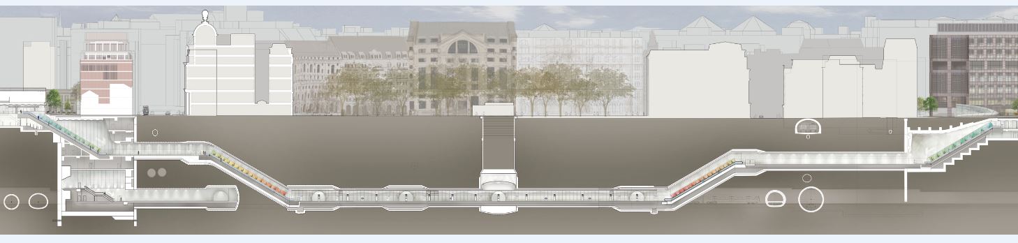
The Design Of The Updated Euston Underground Station
Ian showed this visualisation of the updated Euston Underground station.
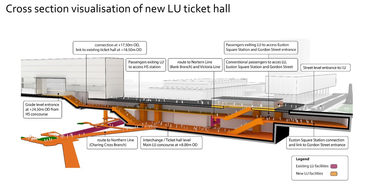
At a first look, it appears to be a very similar concept to the entrance to the Underground in front of St. Pancras station.
Click on the image to show it large and you can pick out the following.
- West is to the left and East is right.
- Much of the construction appears to replace the original car park and taxi rank.
- The upper level looks like where passengers enter and leave the station.
- The subway to Euston Square station and the new Gordon Street entrance joins to the upper level towards the Eastern end.
- There is grade access between the upper level and the High Speed Two concourse.
- There are lots of escalators to travel between levels. The square orange columns could be lift towers.
- The lower level is the Interchange/Ticket Hall level.
- The lower level is not much higher than the Charing Cross branch of the Northern Line.
- The design seems to make clever use of levels to make changing easier.
- The access between the lower level and the Charing Cross branch of the Northern Line at the Western end of the station, appears to be comprehensive and step-free.
- The access between the lower level and the Victoria Line and the Bank branch of the Northern Line, appears to use the current route, which will probably be upgraded to be fully step-free.
This second image shows the design from above the platforms of the conventional section of Euston station.
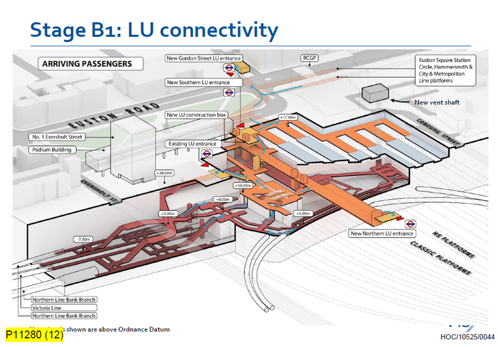
Click on the image to show it large and you can pick out the following.
- The complicated passages, escalators and lifts of the existing four platforms serving the Bank branch of the Northern Line and the Victoria Line.
- The cross passage connecting these lines to the platforms of the Charing Cross branch of the Northern Line.
- The two up and two down escalators leading to the existing ticket hall.
- The Charing Cross branch of the Northern Line curving in and away from the station. See the earlier map of the Underground lines.
- The eleven High Speed platforms on the West side of the station.
- The thirteen Classic platforms on the East side of the station.
- The new Northern entrance to the Underground between the two sets of platforms. How convenient!
- There appears to be a wide passage between the Northern and Southern entrances, with connections to the lines branching off.
- The subway to the new Gordon Street entrance is shown at the top of the image.
The design seems to have separated access to the two branches of the Northern line, by creating a new high-capacity route to the Charing Cross branch.
I also think, that the design allows the station to be built without disrupting passengers using the Underground and the current Euston station.
- A large hole for the station can be excavated, without touching existing access.
- It could then be fitted out section by section.
- Once the new access to the Charing Cross branch of the Northern Line is complete, the current access to the Northern and Victoria Lines can be refurbished.
Arriving At Euston
Imagine you are a passenger arriving from the North, who knows the Underground line, you need to take, you would then enter the Underground station using the new Northern entrance.
- For the Bank branch of the Northern Line or the Victoria Line, you would go through the existing ticket hall and down the escalators, much as you do now! Except that you’d enter the ticket hall on the other side from the East side of the passageway connecting the two entrances. New lifts appear to be shown.
- For the Charing Cross branch of the Northern Line, you would take the passages, lifts and escalators on the West side of the passageway connecting the two entrances.
- If you wanted the sub-surface lines, you would just keep going and take the new subway, which connects to the Eastern ends of the platforms at Euston Square station.
It will certainly do me fine, if I arrive at Euston, as I’ll walk through the subway and get in the front of any Eastbound train for Moorgate station, where being in the front is convenient for the exit and the nearby bus stop to my home.
This route will surely be one of the ways arriving passengers at Euston will get Crossrail to Abbey Wood, Canary Wharf and Shenfield stations. In Crossrail – Northern – Northern City Interchange At Moorgate Station, I show some visualisations of Moorgate station and the connectivity.
Are There Any Plans For The Bay Sub-Surface Platforms At Moorgate Station?
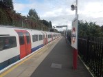
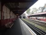
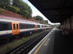
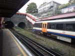
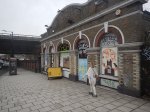
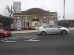
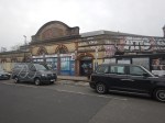
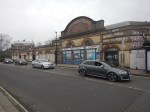
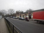
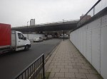
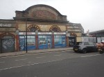
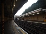
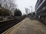
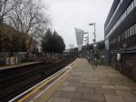
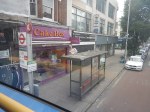
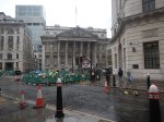
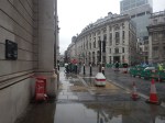
I use Moorgate station regularly, as there’s a Leon Restaurant just outside the station, that looked after me properly during the Covid-19 Pandemic, so when I’m in the area and need feeding I pop in.
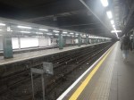
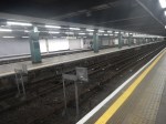
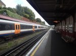
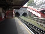
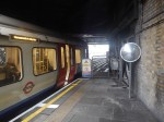
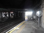
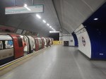
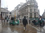
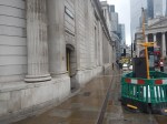
These pictures show the four bay platforms on the Sub-Surface lines.
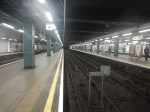
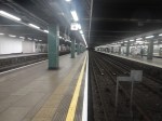
Note.
- The pair of platforms to the left or South are numbered 5 and 6 and used to handle Thameslink trains, that ran to Moorgate station.
- Platforms 5 and 6 used to be electrified with 25 KVAC overhead wires.
- The pair of platforms to the right or North are numbered 3 and 4 and are used to terminate some Metropolitan Line services at Moorgate station.
- Platforms 3 and 4 are electrified with London Underground four-rail electrification.
- The number for Platform 4 can clearly be seen.
This map from cartometro shows the track layout in Farringdon, Barbican and Moorgate stations.
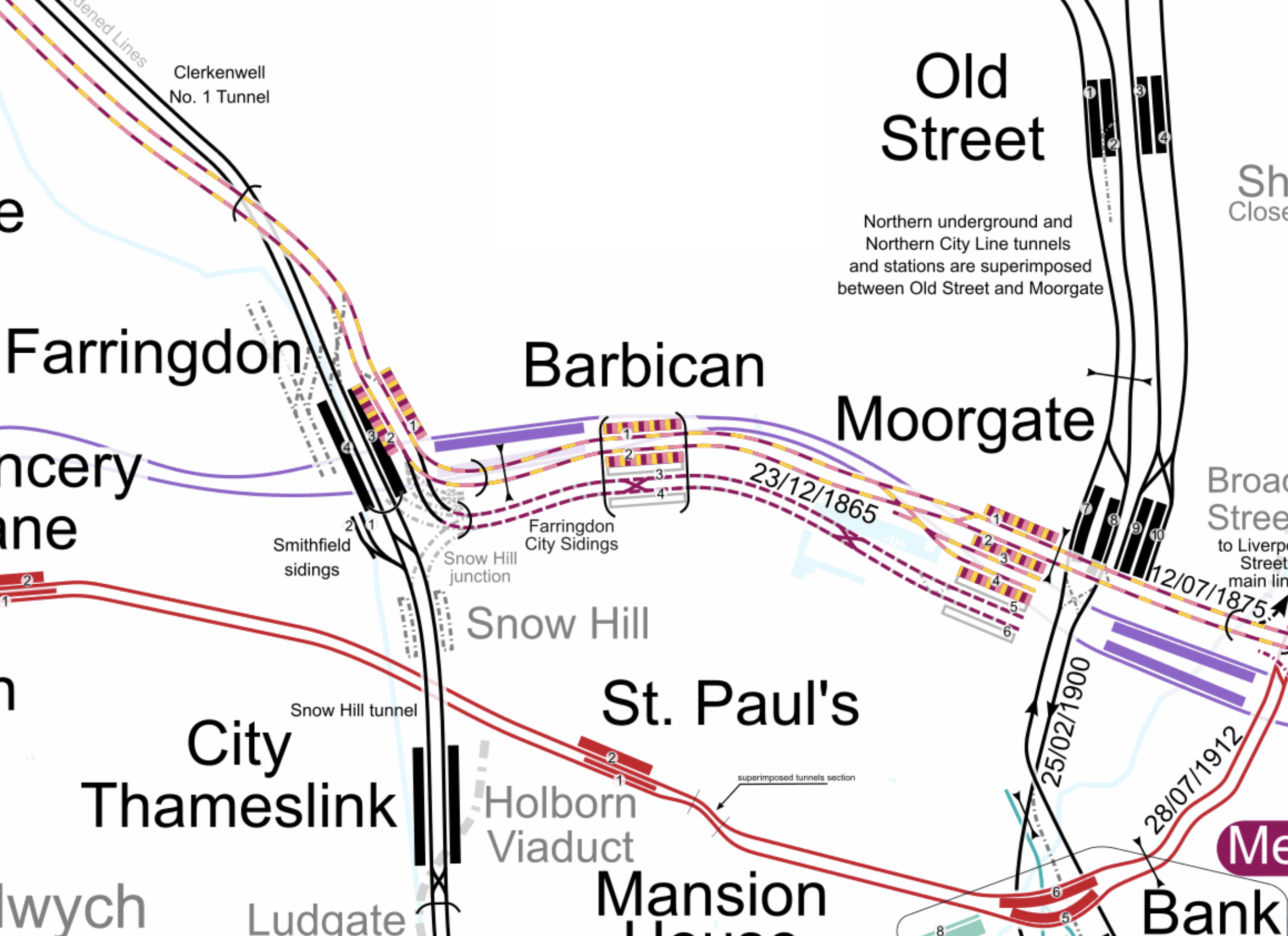
Note.
- The multi-coloured tracks and platforms of the Metropolitan, Circle and Hammersmith & City Lines running through Platforms 1 & 2 at Farringdon, Barbican and Moorgate stations.
- The multi-coloured tracks and platforms of the Metropolitan, Circle and Hammersmith & City Lines terminating in Platforms 3 & 4 at Moorgate station.
- The purple tracks and platforms of the Elizabeth Line running underneath the Metropolitan, Circle and Hammersmith & City Lines and their stations.
- The maroon and white tracks and platforms of Thameslink running through Platforms 3 & 4 in Barbican station and terminating in Platforms 5 & 6 at Moorgate station.
- The black tracks of Thameslink running through Farringdon and City Thameslink stations.
- It would appear there used to be two junctions to allow trains from Moorgate to go North through Farringdon station or South through City Thameslink station.
- The Thameslink tracks have two useful crossovers.
- The black tracks of the City branch of the Northern Line running through Old Street, Moorgate and Bank stations.
- The black tracks of the Northern City Line running through Old Street station and terminating in Moorgate station.
- The red tracks of the Central Line running through Chancery Lane, St. Paul’s and Bank station.
Because of the layout of the various tracks new connections and improvements may be possible.
Extending The Northern City Line To Bank Station
In Walking Along Moorgate – 30th September 2020, I describe some of the possibilities opened up by the design of Moor House, which has been built to allow more tunneling underneath.
I believe two extensions South from Moorgate station would be possible.
- It was intended by the builders of the Northern City Line, to take the route to just North of Bank station at Lothbury.
- Has The Possibility Been Created For A Pedestrian Tunnel Between Bank And Moorgate Stations?
Note.
- As the extension to Bank station has dug tunnels all over the place, I would expect that the engineers on that project would have a good idea on the best way to connect Moorgate and Bank stations.
- I usually use the Northern Line between Moorgate and Bank stations, but sometimes the Northern Line is rather crowded.
- The Northern City Line is being resignalled and may have an increased number of trains, so more passenger capacity may be needed.
- If a new station were to be built at Lothbury, it might be possible to improve step-free access to the Northern City Line.
- A new station on the Northern City Line and a pedestrian tunnel could connect to the newly-installed travelator at Bank station.
There are certainly serious possibilities to improve connections between Moorgate and Bank stations.
Could Metropolitan Line Trains Be Turned At Moorgate Station?
Currently, there are eight trains per hour (tph) between Aldgate and Uxbridge in the Off Peak.
With the new signalling on the Sub-Surface Lines would it allow more trains to operate, if some Metropolitan Line services were terminated in Platforms 3 & 4 at Moorgate station.
Would It Be Worthwhile To Run Thameslink Trains Again Into Moorgate Station?
It would only need to terminate trains from the North, as trains from the South can terminate at Black friars Station.
Perhaps a two tph service from a convenient station would suffice.
A Pedestrian Connection Between City Thameslink Station And St. Paul’s Tube Station
I covered this in A Pedestrian Connection Between City Thameslink Station And St. Paul’s Tube Station.
Extending The Elizabeth Line – Adding Ladbroke Grove Station To The Elizabeth Line
There is a Wikipedia entry for Ladbroke Grove railway station, which starts with this paragraph.
Ladbroke Grove is a proposed railway station in London, England on the Crossrail Route between Old Oak Common and Paddington. This is not part of the internal route and would be added at a later stage. Locals want the station to be called Portobello Central to serve the nearby Portobello Market. It was originally called Kensal.
The Wikipedia entry also gives these details of two proposals for a Ladbroke Grove station on the Elizabeth Line.
Kensington and Chelsea Council has been pushing for a station at North Kensington / Kensal, just to the east of the Old Oak Common railway station site, off Ladbroke Grove and Canal Way, as a turn-back facility will have to be built in the area anyway. Siting it at Kensal Rise, rather than next to Paddington itself, would provide a new station to regenerate the area. Amongst the general public there is a huge amount of support for the project and then-mayor of London Boris Johnson stated that a station would be added if it did not increase Crossrail’s overall cost; in response, Kensington and Chelsea Council agreed to underwrite the projected £33 million cost of a Crossrail station, which was received very well by the residents of the borough. Transport for London (TfL) is conducting a feasibility study on the station and the project is backed by National Grid, retailers Sainsbury’s and Cath Kidston, and Jenny Jones (Green Party member of the London Assembly).
The plans were resurrected by Boris Johnson in 2016.
In March 2017, it was announced that TfL was considering a Crossrail station in Kensal Green, on the site of a former gasworks, and it would be between Old Oak Common and Paddington.
This map from cartometro.com shows the railway lines to the West of Paddington.
Note.
- The Elizabeth Line is shown in purple.
- Ladbroke Grove rube station is not close to the Elizabeth Line.
- Kensal Green tube station is not close to the Elizabeth Line.
But we do know this about the future Old Oak Common station.
- It will be served by Elizabeth Line services between Central London and Heathrow Airport.
- It will be served by High Speed Two services between London Euston and the North of England and Scotland.
- It will be served by Great Western services between London Paddington and the West of England and Wales.
- It will be served by North London Line services betweeen Stratford and Richmond.
- It will be served by Heathrow Express services between London Paddington and Heathrow Airport.
From the map, it looks unlikely that the Hammersmith & City Line will be able to serve Old Oak Common station.
However, it might be possible that Euston and Old Oak Common could be served by Watford DC Line services, which called at either Old Oak Common or Kensal Greeen.
A link between Euston and Old Oak Common, would give all stations on the line access to High Speed Two and Heathrow with a change at Old Oak Common.
Some Euston suburban services could stop at Old Oak Common for access to High Speed Two and Heathrow.
The Watford DC Line which is very self-contained could become a comprehensive feeder line for High Speed Two and Heathrow.
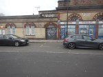
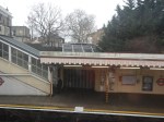
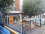
Kensal Green Station
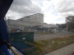
I took a trip to Kensal Green station and took these pictures.


Note.
The station handles two heights of trains on single-height platforms.
Some of the stairs are not the best.
There is no step-free access.
There are six lines through the station and there may be scope for more platforms.
If ever there was a station that needed a makeover it is Kensal Green.
Conclusion
I doubt that the Hammersmith & City Line could be connected to the Elizabeth Line to the West of Paddingt9n.
But I do feel that the Watford DC Line could be developed into a comprehensive link between Euston and Old Oak Common satiations.
Why The Elizabeth Line Must Be Extended To Ebbsfleet International
There are various plans to link the Elizabeth Line to Ebbsfleet International.
In Elizabeth Line To Ebbsfleet Extension Could Cost £3.2 Billion, I showed this map from the Abbeywood2Ebbsfleet consultation.
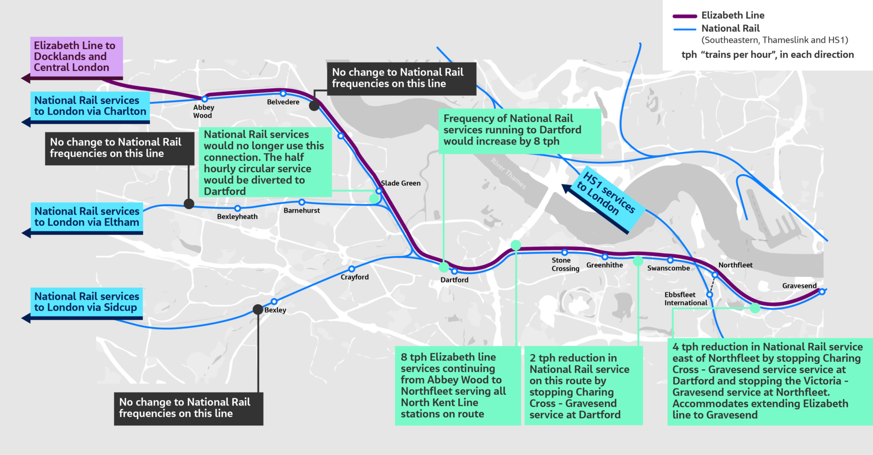
There doesn’t appear to be too much new infrastructure, except for a proper connection between Northfleet and Ebbsfleet stations. References on the Internet, say that the similar-sized Luton DART connection at Luton Airport, cost around £225 million.
The Elizabeth Line connects to the following.
- Bond Street
- Canary Wharf
- City of London
- Farringdon for Thameslink
- Heathrow Airport
- Old Oak Common for High Speed Two
- Liverpool Street station
- Oxford Street
- Paddington station
- Slough for Windsor
- Tottenham Court Road for the British Museum, Oxford Street, Soho, Theatreland and the Underground.
- West End of London
- Whitechapel for the Overground and Underground
For many people like me, the Elizabeth Line at Ebbsfleet will provide one of the quickest ways to get to and from European trains.
High Speed Two Services
This diagram shows High Speed Two services, as they were originally envisaged before Phase 2 was discontinued.
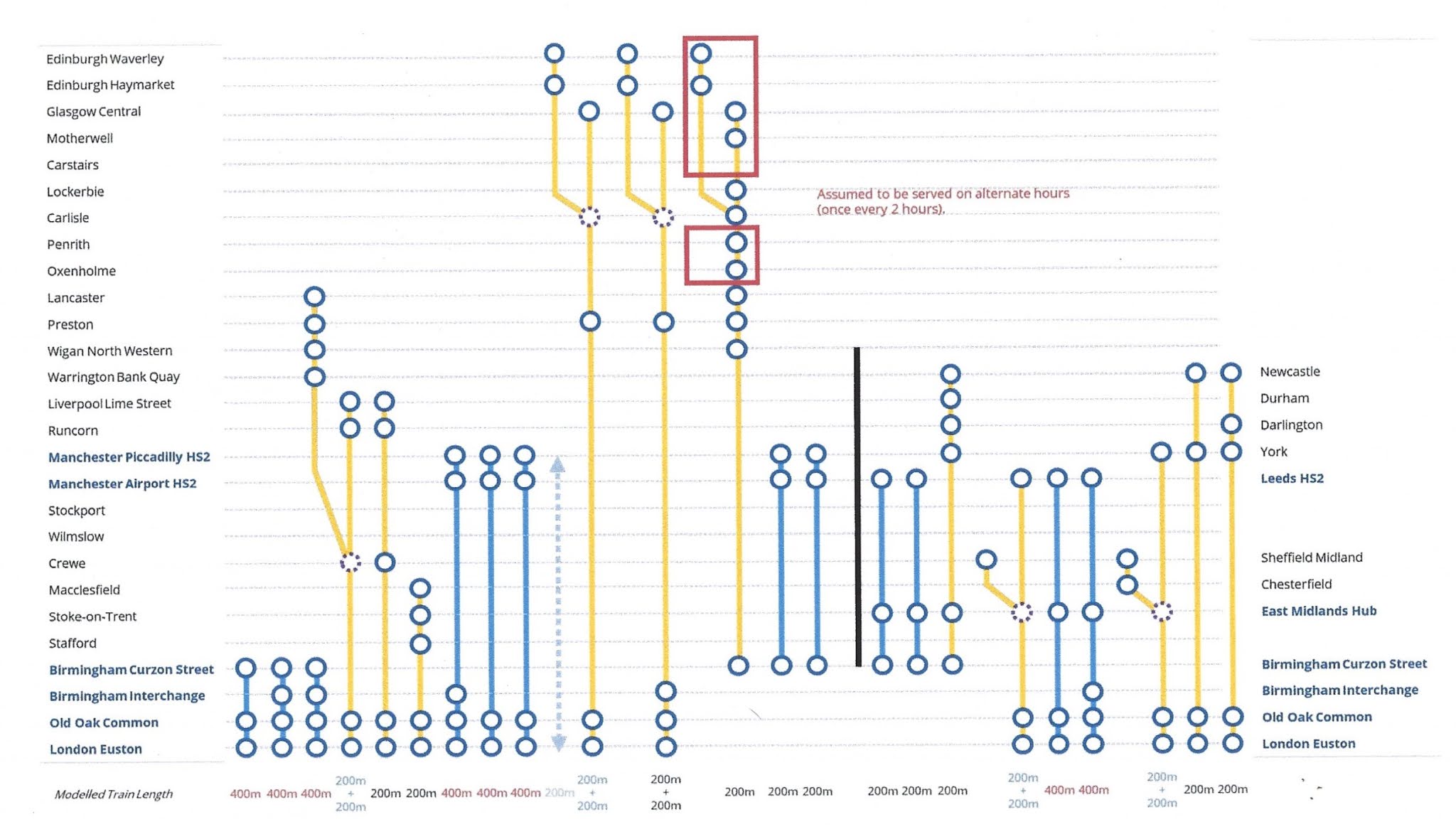
Note.
- Trains to the left of the vertical black line are Phase 1 and those to the right are Phase 2.
- Full-Size trains are shown in blue.
- Classic-Compatible trains are shown in yellow.
- The dotted circles are where trains split and join.
- In the red boxes routes alternate every hour.
- Was Lancaster chosen as it’s close to the new Eden Project Morecambe?
Click on the diagram to enlarge it.
Destinations served by the current foreshortened High Speed Two or High Speed Two Lite will be.
- Birmingham Curzon Street
- Birmingham Interchange
- Carlisle
- Carstairs
- Crewe
- Edinburgh Haymarket
- Edinburgh Waverley
- Glasgow Central
- Lancaster
- Liverpool Lime Street
- Lockerbie
- Macclesfield
- Manchester Airport
- Manchester Piccadilly
- Motherwell
- Oxenholme
- Penrith
- Preston
- Runcorn
- Stafford
- Srockport
- Stoke-on-Trent
- Warrington Bank Quay
- Wigan North Western
- Wilmslow
That is twenty-five stations.
I would add these extra stations.
- Bangor
- Blackpool
- Chester
- Holyhead
- Llandudno Junction
- Wrexham
Note.
- These extra six stations would make High Speed Two, a line for more of the people.
- Because the Eastern leg is cancelled, the paths that would have served that leg can be used to provide services for the West of the country.
The East of the country could be served by updating the East Coast Main Line.
The Development Of Eurostar
Consider.
- Eurostar and Thalys have now merged and I can see them providing extra direct services between London and Europe.
- Bordeaux, Cologne, Frankfurt and Geneva have been mentioned as possible destinations.
- Most of the new destinations, will be served by extending current services from Amsterdam, Brussels and Paris appropriately.
But to cope with the extra numbers of passengers, there will have to be extra passenger capacity at St. Pancras and/or Ebbsfleet International.
High Speed Two And Continental Services
Currently, if you want to go from the North of England or Scotland to the Continent, you do one of the following.
- Take a train to King’s Cross and walk across to St. Pancras International.
- Take a train to St. Pancras and walk to the International section of the station.
- Take a train to Euston and walk or take a bus, taxi or Underground to St. Pancras International.
Note.
- Passengers from North Wales take the Euston route.
- Some passengers will take an Elizabeth Line train to Farringdon and then take Thameslink to St. Pancras International.
- Passengers arriving at Paddington on Heathrow Express will probably take a taxi to St. Pancras International.
- Passengers arriving at Paddington on a budget will probably take the Underground to St. Pancras International.
For Londoners and those travellers, who know London well, the routes to St. Pancras International, are not to bad but they could be better.
If the current foreshortened High Speed Two or High Speed Two Lite finishes at Old Oak Common station, passengers will have to use the following routes for their onward journey.
- Elizabeth Line
- Great Western Railway – local services.
- Heathrow Express
- North London Line of the London Overground, or whatever the Mayor at the time calls it.
If the full High Speed Two or High Speed Two Lite finishes at Euston station, passengers will have to use the following routes for their onward journey.
- Avanti West Coast
- Circle, Hammersmith & City and Metropolitan Lines
- London North Western – local services
- Northern Line
- Victoria Line
- Watford DC Line of the London Overground, or whatever the Mayor at the time calls it.
These routes will be in addition to those at Old Oak Common station.
There will be two routes between High Speed Two and St. Pancras International station.
- Passengers arriving at Old Oak Common will take an Elizabeth Line train to Farringdon and then take Thameslink to St. Pancras International.
- Passengers arriving at Euston will walk or take a bus, taxi or Underground to St. Pancras International.
I am not sure that either route will have enough capacity, if High Speed Two attracts a large number of passengers.
Extend High Speed Two To Euston
I believe that this is essential, as it improves the connectivity greatly, at the bottom end of High Speed Two, as several Underground Lines will be connected to High Speed Two.
Extend The Elizabeth Line from Old Oak Common To Ebbsfleet International
I believe this too is essential, as it gives the North of England and Scotland, the connection to the Continent that they need.
There could be cross-platform connections at both Old Oak Common and Ebbsfleet International between the Elizabeth Line and the high speed lines.
Conclusion
Politicians should stop the dithering and act to give the UK, the rail connection it needs up and down the country and to the Continent.
Could A Heathrow And City Line Be Created?
In The New Step-Free Entrance At Euston Square Station, the following comment was added by Martin.
As said cutting the two new pedestrian tunnels from the existing platforms outside the existing brickwork MAY be less demanding than extending the platform tunnel, however I feel that extending the rail platforms would be a more future proof solution as done on the Elizabeth Line, in addition to reducing walking time to the Main Line with Stuff. I would like to see this as a precursor to extending platforms 5 & 6 at Baker Street west to a new entrance at Glentworth Street. With other improvements along the line over time. Enabling a new “Heathrow & City Line” connection utilising the Elizabeth Line from a rebuilt platform at Westbourne Grove.
I will now look at Martin’s various suggestions.
A Connection Between Elizabeth Line And the Hammersmith & City Line At Westbourne Park Station
The last sentence of the comment is.
Enabling a new “Heathrow & City Line” connection utilising the Elizabeth Line from a rebuilt platform at Westbourne Grove.
Note.
- Martin means Westbourne Park not Westbourne Grove.
This OpenRailwayMap shows the lines through Westbourne Park station.
Note.
- The blue tracks are the Hammersmith & City Line.
- The blue arrow on the Hammersmith & City Line indicates Westbourne Park station.
- The orange tracks are the four tracks of the Great Western Main Line and the two tracks of the Elizabeth Line.
- To the East of this map, the Hammersmith & City Line crosses under the other tracks, so it can access platforms on the North side of Paddington station.
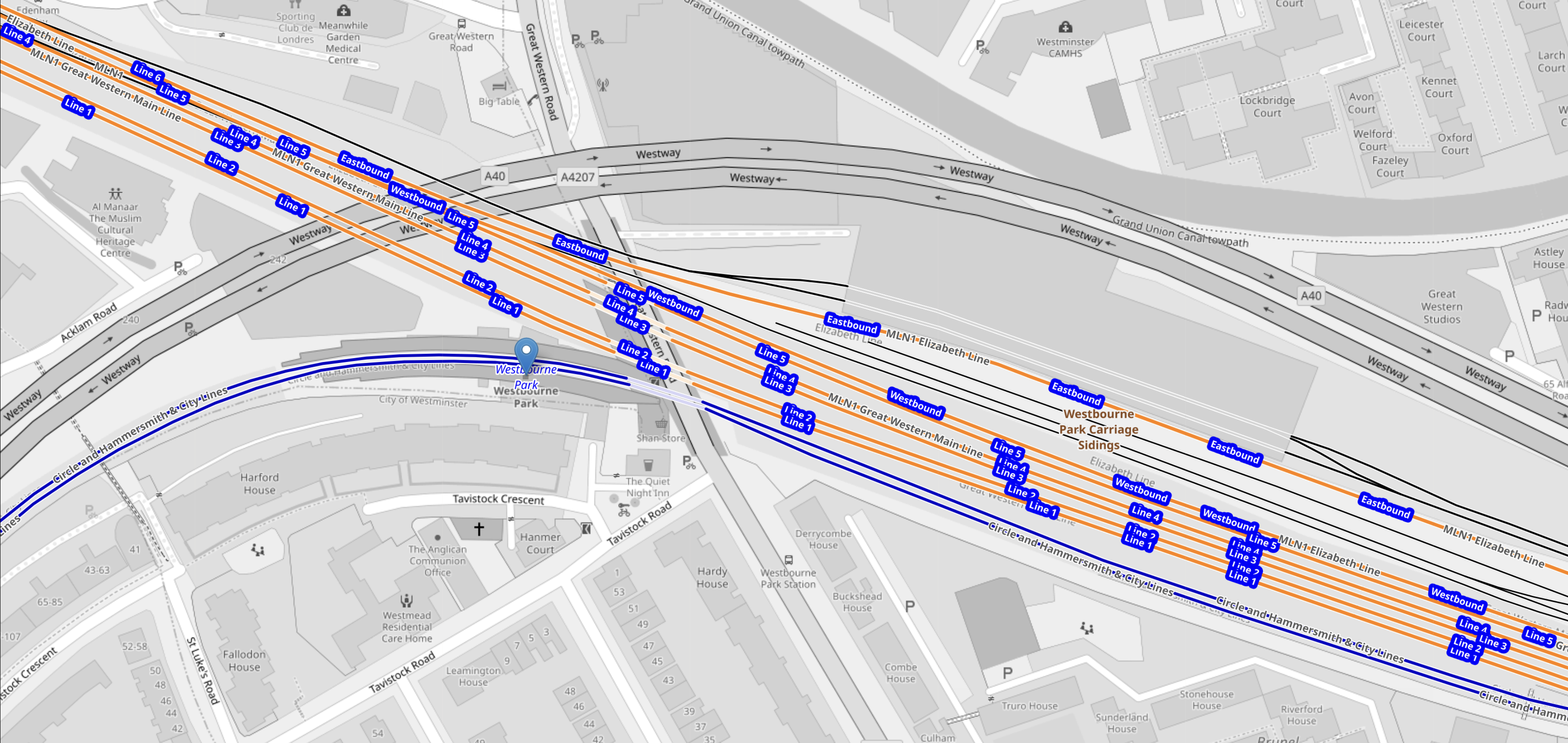
This second OpenRailwayMap is an enlargement of the lines through Westbourne Park station.
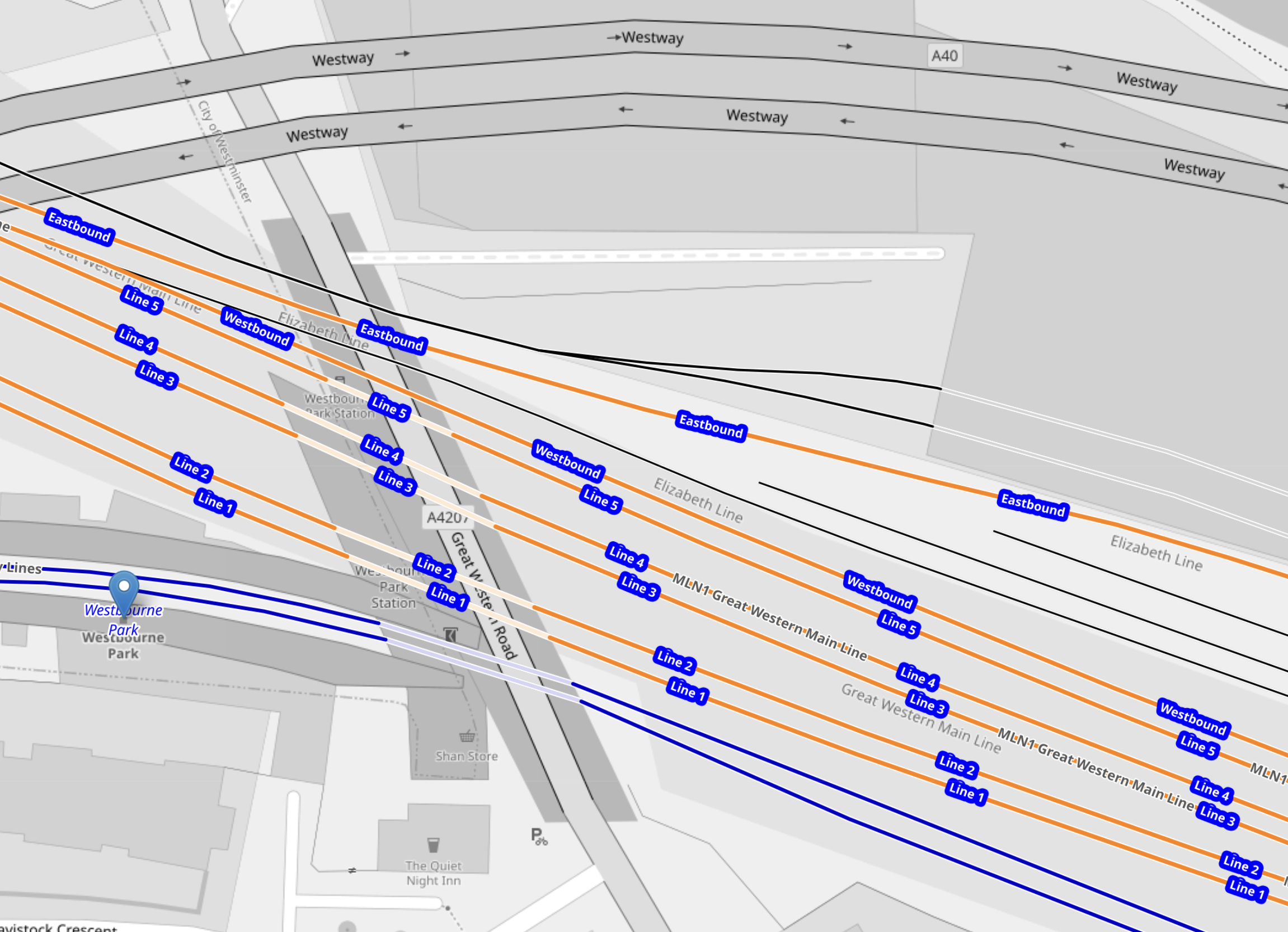
Note.
- As before the blue tracks and blue arrow indicate the Hammersmith & City Line and Westbourne Park station.
- Orange Lines 1 to 4, which are numbered from the South, are the four lines of the Great Western Main Line.
- The other three orange tracks are labelled Line 5, Westbound and Eastbound and handle GWR local services and the Elizabeth Line.
- I would assume that Eastbound and Westbound Elizabeth Line services use the appropriately named track.
This Google Map shows Westbourne Park station, Great Western Road, the rail tracks and the nearby Westbourne Park bus garage.
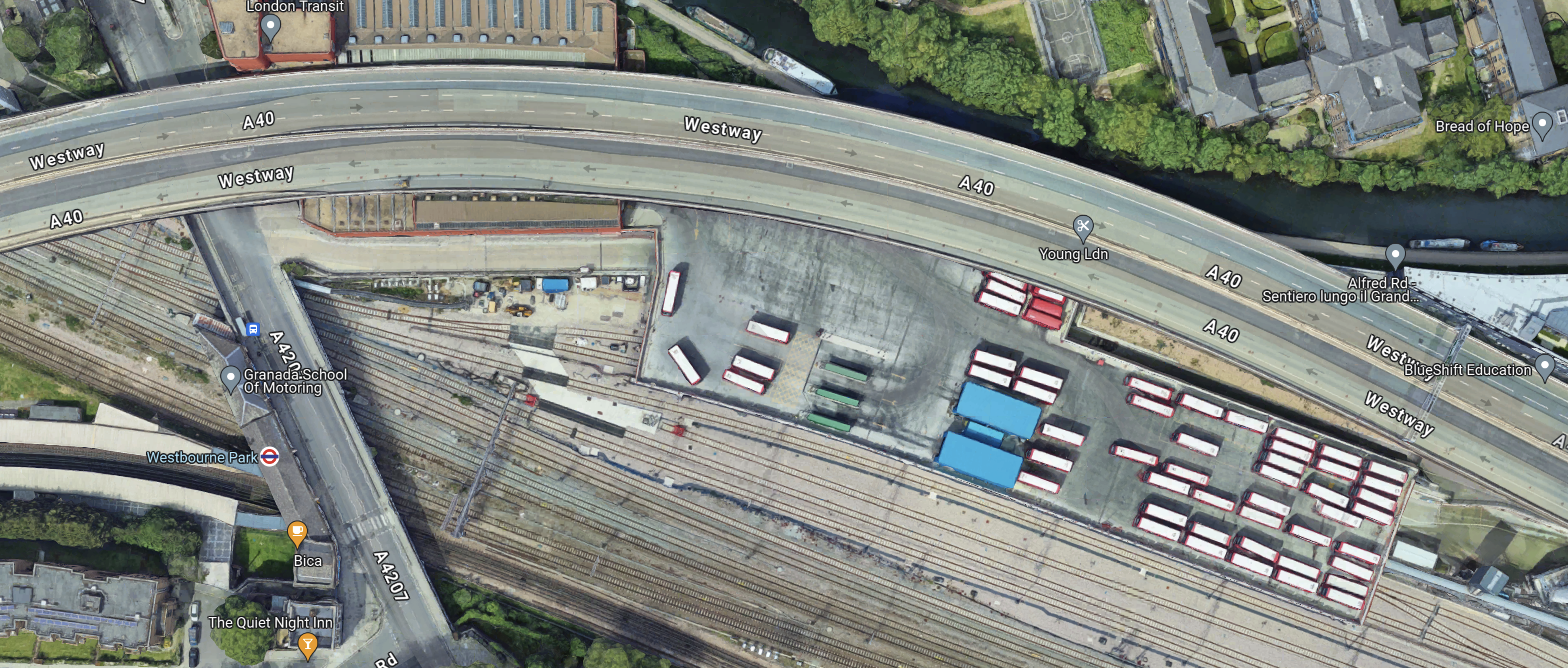
Note.
- The London Underground roundel indicates Westbourne Park station.
- The two Hammersmith & City Line platforms stretch to the West of the station entrance.
- Westbourne Park bus garage lies to the North of the Great Western Main Line and Elizabeth Line tracks.
- There are around fifty white-roofed buses parked on the roof of the bus garage.
- The Eastbound Elizabeth Line track runs along the South side of the bus garage.
Looking at the last two maps, I suspect that a two platform station serving the two Elizabeth line tracks under and to the East of Great Western Road.
- It would be connected to the Hammersmith & City Line by a walkway on the Western side of the Great Western Road.
- There would be step-free access to the Hammersmith & City and Elizabeth Lines.
I took these pictures from the platforms at the current Westbourne Park station and as I walked to and from Westbourne Park bus garage.
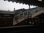
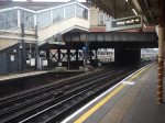
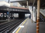


Note.
- The bus garage is recent and was built as part of the Elizabeth Line construction.
- There are two Westbourne Park station buildings.
- One building serves the Hammersmith & City Line and the other could have served the tracks now used by the Elizabeth Line.
- The Westbourne Park station buildings need a lot of restoration.
- Could a bus interchange be developed?
I believe that a station that connected the Hammersmith & City and Elizabeth Lines could be built.
British Land Unveils Plans To Transform London’s Euston Tower Into A Life Sciences And Innovation Hub
The title of this post, is the same as that of this press release from British Land.
The Wikipedia entry for the Euston Tower gives this paragraph of history.
The site was developed by Joe Levy who bought properties along the north side of Euston Road to enable him to build a complex of two tower blocks with office shops and apartments. The building, which was designed by Sidney Kaye Eric Firmin & Partners in the International style and built by George Wimpey, was completed in 1970. It is 36-storeys and 124 metres (407 ft) high. Early tenants included Inmarsat and Capital Radio.
When you get to over fifty years old, various parts of your body get tired and I suspect it is the same with buildings.
These are the two bullet points of the press release.
- Euston Tower represents a major retrofit and redevelopment opportunity at the heart of London’s Knowledge Quarter
- Proposals aim to transform the building into a world-class net zero home for world-leading life science and innovation occupiers
These two paragraphs then add a bit more vision.
Leading property company British Land has unveiled plans to redevelop Euston Tower through an innovative combination of retention, re-use and an ultra-low carbon new structure. The plans would transform the building into a pioneering, modern, net zero workspace for cutting-edge businesses of all sizes, including new world-class, lab-enabled spaces at the heart of London’s Knowledge Quarter.
Currently under discussion with Camden Council and other local stakeholders, the vision for Euston Tower will lead the way in low carbon retrofit and construction techniques, using inclusive design which creates high quality workspaces and continues to support the local community and economy. The current proposals will bring forward lab-enabled spaces for start-up and scale-up innovation businesses, as well as spaces for the local community to support education and training opportunities.
These are points from the press release.
- Leading the design are award-winning Danish architecture practice 3XN.
- They are supported by London-based architecture and landscape studio DSDHA who re-designed much of Broadgate’s public realm, including Exchange Square.
- In line with British Land’s longstanding commitment to net zero development, the design’s sustainability strategy is based on retaining, re-using and re-cycling existing material, specifying low carbon and recycled materials where new is required and only using certified carbon offsets as an action of last resort.
- This multi-layered approach to net zero development aims to create a blueprint for the sustainable redevelopment of challenging, inflexible old buildings that can be used in the future.
British Land has owned and operated Regent’s Place for nearly 40 years, which means they must have a lot of knowledge about how best to develop the building and its surroundings.
They certainly seem to be applying a modern net-zero approach to a building that was iconic and modern in the 1970s.
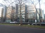
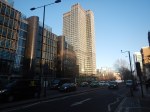
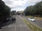
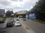
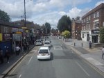
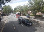
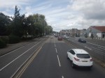
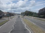
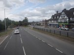
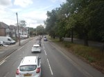
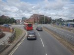
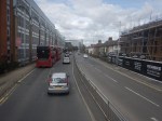
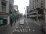
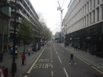
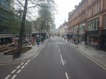
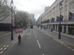
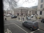
This afternoon I walked down the Euston Road between Euston and Great Portland Street stations and took these pictures.

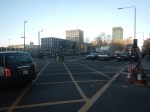
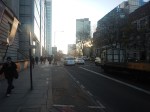


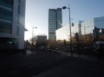


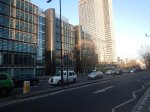
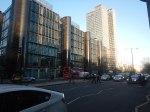

Note.
- Euston Station is a shadow of its former self.
- Euston Tower is the boxy tower on the North side of Euston Road.
- University College London Hospital (UCLH) is the tower on the South side of Euston Road.
- I believe the glass-fronted building opposite the hospital and Euston Tower contains a lot of BT infrastructure.
I have some thoughts.
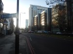
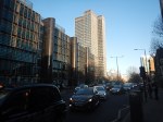
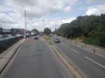
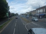
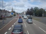
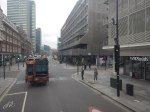
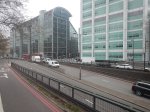
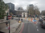
Traffic Along The Euston Road
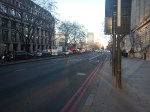
I took the pictures around 1400 in a Friday and they show how busy the Euston Road is most of the time.
According to the Wikipedia entry for the Euston Road, there was a plan to remove the underpass.
In the early-21st century, the Greater London Authority commissioned a plan to improve the road from the architectural firm, Terry Farrell and Partners. The original study proposed removing the underpass (which was subsequently cancelled) and providing a pedestrian crossing and removing the gyratory system connecting the Tottenham Court Road and Gower Street. The scheme was approved by the Mayor of London, Ken Livingstone as “the start of changing the Marylebone to Euston road from a highway into a series of linked public spaces.” The pedestrian crossing opened in March 2010. Livingstone’s successor, Boris Johnson, favours keeping the Euston Road underpass and declared it to be a good place to test his nerves when cycling around London.
Nothing is said about, where the traffic would have gone, if the underpass had been closed.
I walked along the South side of the Euston Road past the hospital and the air couldn’t be considered clean. As I write this, this website rates it Hazardous.
If we ignore the pollution for pedestrians and cyclists, is it really a road, that is fit for the purpose of moving traffic between King’s Cross and Baker Street, and vice-versa? I don’t think so!
The UK Needs More Lab Space
Cambridge innovators and developers were always saying they needed more lab space.
I also suspect, they are moaning in Oxford too!
So building high-quality space in London could reduce the pressure.
In Canary Wharf Boosts Its Science Ambitions, I talked about the ambitions of Canary Wharf to be a life sciences hub.
The Euston Tower Is Well-Connected
Consider.
- The Euston Tower is within walking distance of Euston, King’s Cross and St. Pancras stations, with all their long distance connections.
- The Euston Tower is within walking distance of Euston Square, Great Portland Street, King’s Cross St. Pancras and Warren Square stations, with all their Underground connections.
- There are buses everywhere.
But that’s not to say, that these links cannot be improved.
Euston High Speed Two Station Could Be Euston Tower’s Sister?
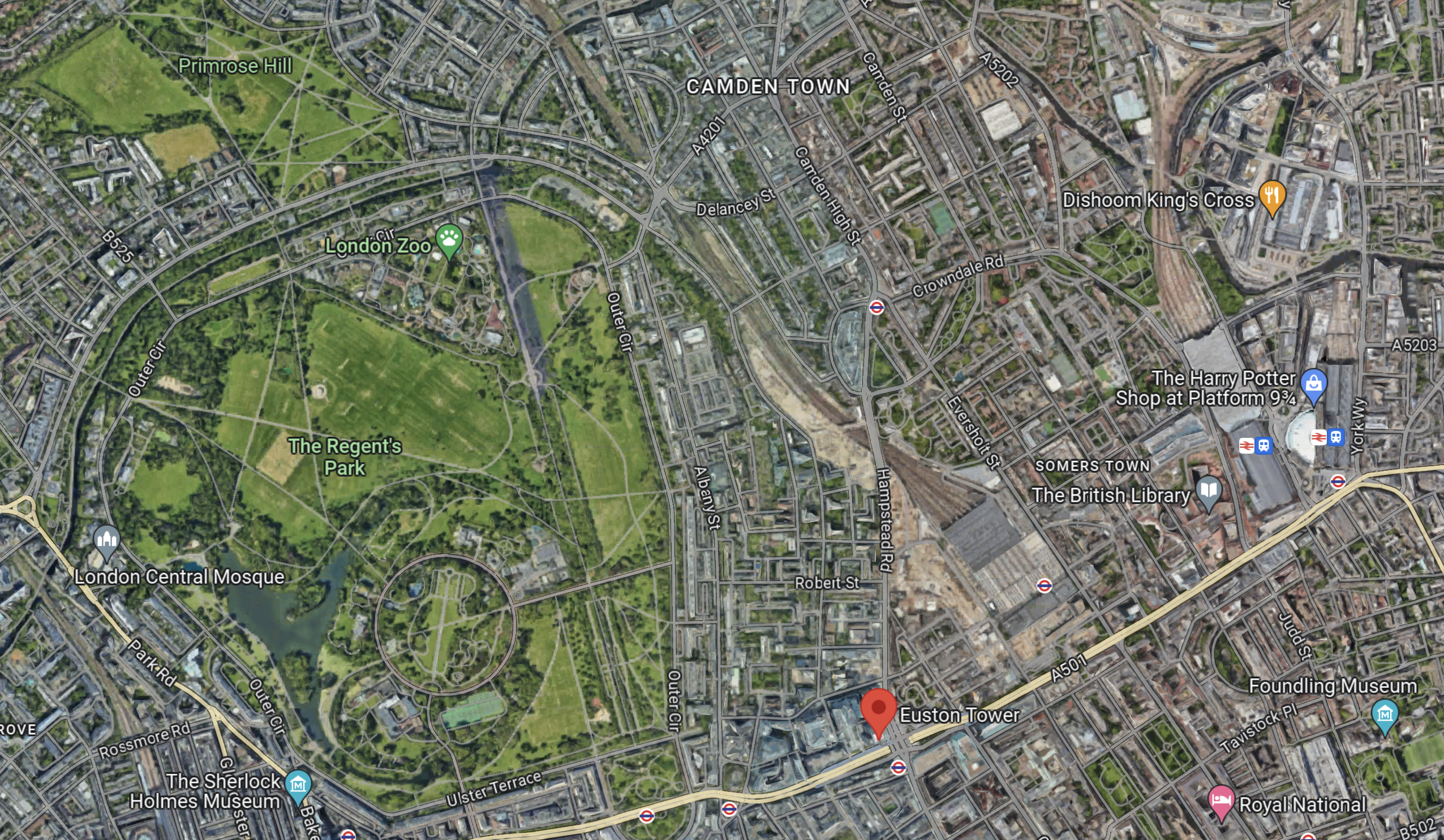
This Google Map shows the location of Euston Town and the proposed Euston High Speed Two station.

Note.
- Euston Tower is marked by a red arrow in the South-West corner of the map.
- The existing Euston station is in the North-East corner of the map.
- The High Speed Two station will be built along the Western side of the existing station.
With good landscaping, an excellent walking route, and perhaps a people mover Euston Tower could have superb connections to the rest of the UK.
Cycling And Walking Could Be A Possibility!
This Google Map shows the wider area around Euston Tower.
Note.
- Euston Tower is marked by the red arrow towards the bottom of the map.
- To its West lies the cycling- and walking-friendly spaces of Regents Park and Primrose Hill.
In the 1970s, I regularly walked or cycled across the park from where we lived near Primrose Hill to a client in Great Portland Street.
I also suspect other cycling and walking routes could be developed to Euston Tower from Euston, King’s Cross, St. Pancras and other stations.
Crossrail 2
Crossrail 2 would certainly help travelling to the Euston Tower, by linking Euston, King’s Cross and St.Pancras to North-East and South-West suburbs of London, with trains at frequencies of up to 30 thirty trains per hour (tph) in the central tunnel.
But.
- The new line will cost at least £31.2 billion. Who can afford it?
- The Elizabeth Line took sixteen years from approval to full opening.
- Crossrail 2 would still be a walk from Euston Tower.
So Crossrail 2 is unlikely to be any help to the redevelopment of Euston Tower.
Improving The Sub-Surface Lines
The Euston Tower is close to two stations on the sub-surface lines; Euston Square and Great Portland Street.
Services through these stations are currently as follows.
- Circle Line – 6 tph – In both directions all day.
- Hammersmith & City Line – 6 tph – In both directions all day.
- Aldgate and Amersham- 2 tph – In both directions all day.
- Aldgate and Chesham – 2 tph – In both directions all day.
- Aldgate and Uxbridge – 6 tph Peak – 8 tph – Off-Peak
- Aldgate and Watford – 4 tph – Peak
Note.
- In the Peak there are 26 tph through Great Portland Street and Euston Square stations.
- In the Off Peak there are 24 tph through Great Portland Street and Euston Square stations.
- In this article on Modern Railways,it is said that after digital signalling is installed on the sub-surface lines, the capacity on the lines, will be 32 tph in the Peak and 27 tph in the Off-Peak.
These figures give a 33 % capacity increase in the Peak and a 28 % increase in the Off Peak.
Both Great Portland Street and Euston Square stations are cramped and not fully step-free stations and could struggle with a 28 % and upwards increase in passenger numbers.
In The New Step-Free Entrance At Euston Square Station, I detailed TfL’s plans to put a new full step-free entrance South of Euston Road at Euston Square station.
This would not directly help travellers going between Euston Tower and Euston station, but hopefully, it would help to make Euston station less crowded and more passenger-friendly.
It would certainly ease walking between University College and the hospital, and the station.
This map from cartometro shows the Underground lines at Great Portland Street station.
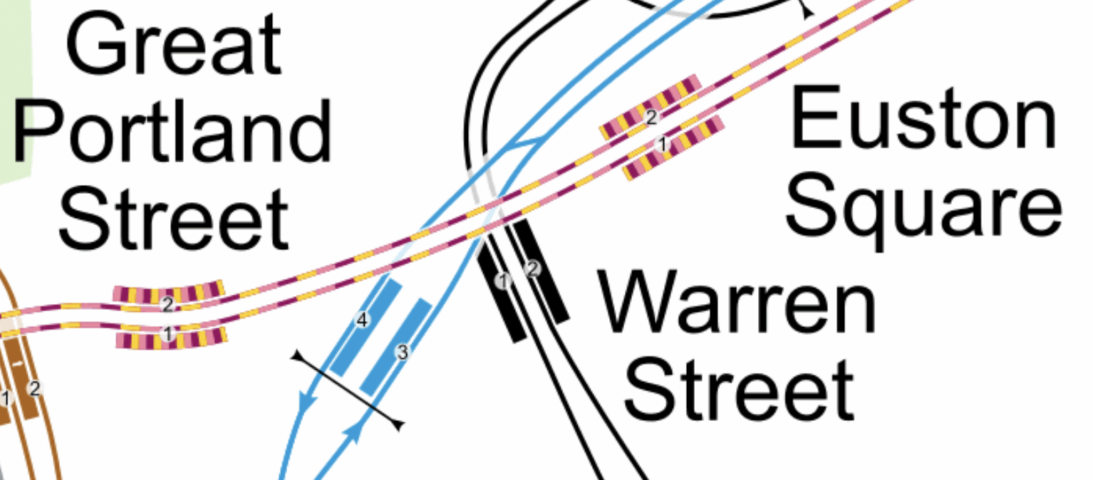
Note.
- The yellow and mauve tracks are the sub-surface lines.
- The black tracks are the Northern Line.
- The blue tracks are the Victoria Line.
This Google Map shows the Euston Tower, Great Portland Street and Warren Street stations.
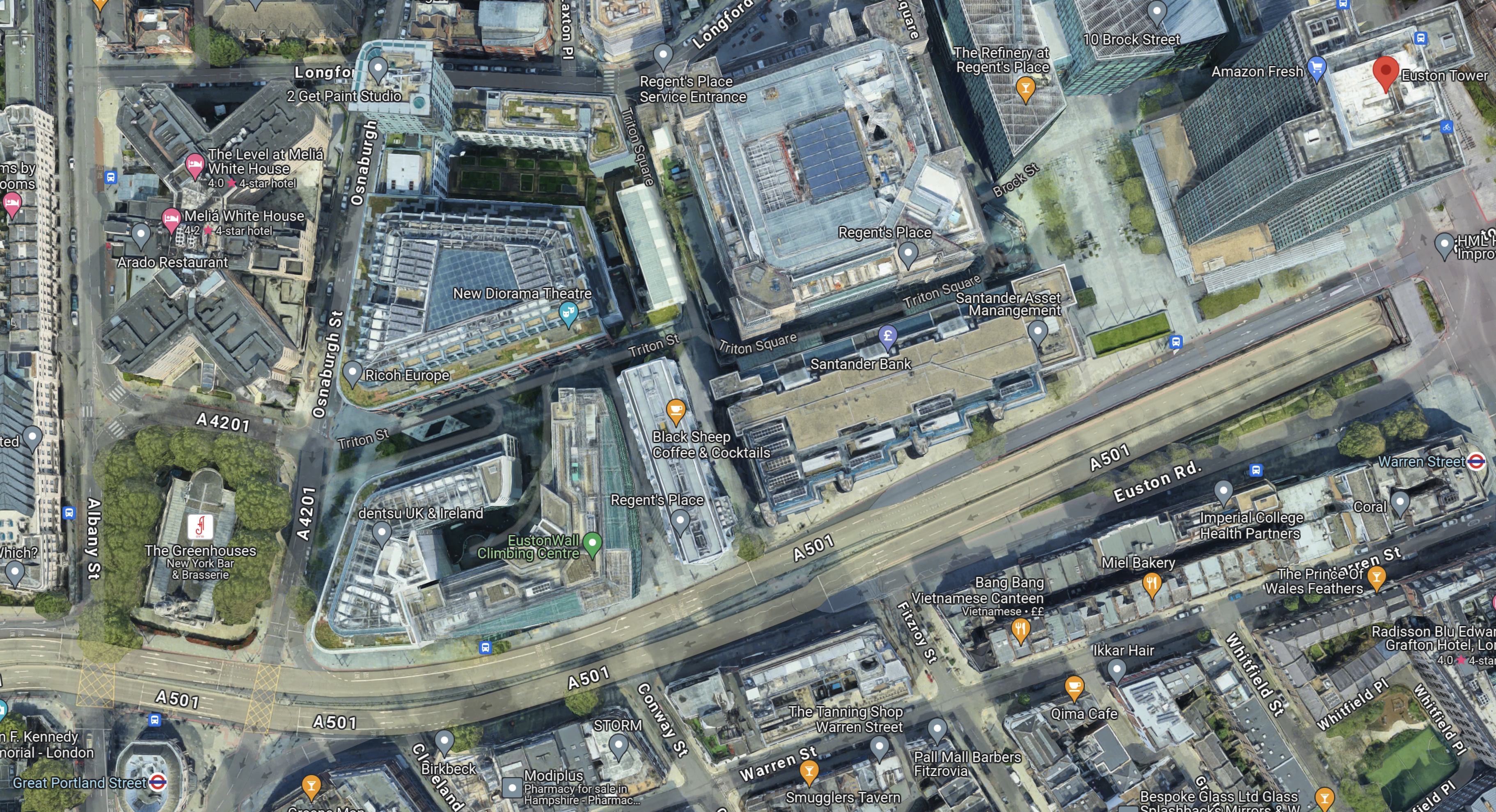
Note.
- The Euston Tower is indicated by a red arrow in the top-right corner of the map.
- Great Portland Street station is in the bottom-left corner of the map.
- Warren Street station is at the left of the map.
I wonder if the platforms were to be extended Eastwards at Great Portland Street station, that a new entrance to the station could be created perhaps fifty metres from Euston Tower.
I am convinced that the extra passenger traffic created by the life sciences and innovation hub can be handled by an augmented transport infrastructure, which would rely mainly on planned improvements to the sub-surface lines, which are approaching their final stages.
Conclusion
Converting Euston Tower into a life sciences and innovation hub is a plan that I believe can work well!
I would recommend the following improvements to public transport.
- The planned extra step-free entrance to Euston Square station on Gordon Street is constructed.
- An extra fully step-free entrance is built at the Eastern ends of the platforms at Great Portland Street station, which would be about halfway between Euston Tower and the station.
As improvements to the signalling of the sub-surface lines will deliver an upwards of 27 % capacity on the sub-surface lines, the life sciences and innovation hub might as well take advantage.
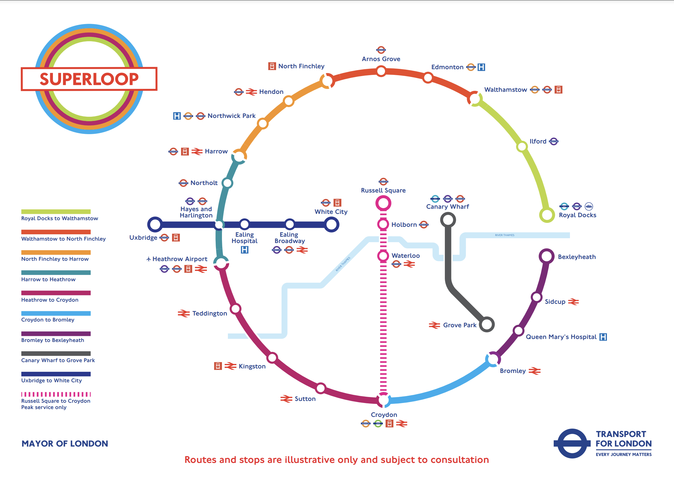
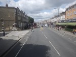
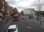
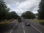
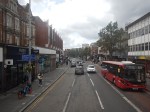
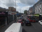
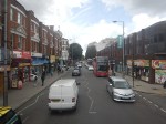
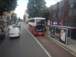
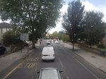
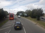
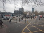
Riding The SL8 Bus Between Shepherd’s Bush Market And Uxbridge Stations – 16th July 2023
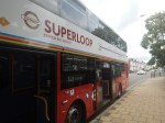
This draft map from TfL illustrates the concept of the Superloop.
The spoke on the Western side of the map is route SL8 between White City and Uxbridge stations.
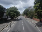
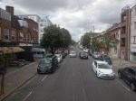
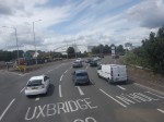
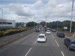
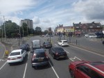
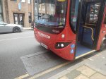
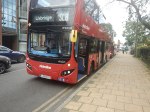
This morning I rode the route between Shepherd’s Bush Market and Uxbridge stations and took these pictures.

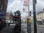
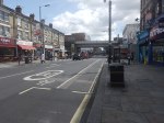


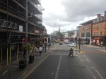


Note.
- Some of the buses have still to be painted in the new white-topped Superloop livery.
- The buses are diesel-powered.
- The stops have their own livery.
- I estimate the route is 12.3 miles long and the bus took 67 minutes.
- The frequency appeared to be typically four buses per hour.
- The route is mainly dual-carriageway to the West of Ealing Hospital.
Route SL8 used to be route 607 and except for the branding nothing has changed.
I have few thoughts.
The Concept
The concept seemed to work well, where the roads were free of traffic.
But we get get a bit delayed through places like Ealing Broadway, where parking reduced the width of the road.
The Route
The route connects quite a few stations and other important locations.
From East to West they include.
- Westfield Shopping Centre
- Shepherd’s Bush station for the Central Line and the Overground.
- Shepherd’s Bush Market station for the Hammersmith and City Line
- Acton Central station for the Overground
- Ealing Common station for the District and Piccadilly Lines.
- Ealing Broadway station for the Central, District and Elizabeth Lines.
- Ealing Broadway
- Ealing Town Hall
- Ealing Hospital
- Southall Broadway
- Hayes
Note.
- The route is very much the same as the now-abandoned West London Tram, which was proposed twenty years ago.
- The tram was opposed y the three London boroughs on the route, as it cut them in half. But buses don’t cause the same problems.
- The Superloop map shows that the SL8 bus calls at Hayes and Harlington station, but we went nowhere near it today.
- The route with its sections of dual carriageway and congested shopping streets was a bit like the route o Birmingham’s hydrogen buses, that I wrote about in Riding Birmingham’s New Hydrogen-Powered Buses.
I feel as the route is very similar to the West London Tram, which was probably extensively researched, that there won’t be too many changes to this route.
Parking Along The Route
I wouldn’t be surprised to see more parking restrictions along the route, to speed up the buses in the crowded shopping streets like Acton, Ealing Broadway and Southall Broadway.
The Buses
The buses are Egyptian-built eVoSeti diesel buses, which use a Volvo chassis.
- I don’t like these buses as they don’t have a flat floor and I’ve seen some passengers struggling with the stairs on the lower deck.
- At least the stairs to the upper deck aren’t too bad.
We used to have them locally in Dalston and I used to avoid them, if there was another bus close behind.
This new route, though should be served by zero-carbon buses, so that pollution and carbon emissions are reduced.
- Between White City and Uxbridge takes over an hour.
- A battery-electric bus would need recharging during the day.
- It looks like there’s not much space at White City and Uxbridge stations, to install charging stations.
- A hydrogen-powered bus could probably manage all day on one filling.
For these reasons, I suspect that hydrogen buses would be the preferred option.
Could High Speed Two Have An Underground Station In London?
The Achievement Of The Bank Station Upgrade
This map from OpenRailwayMap shows the lines through Bank and Monument stations.
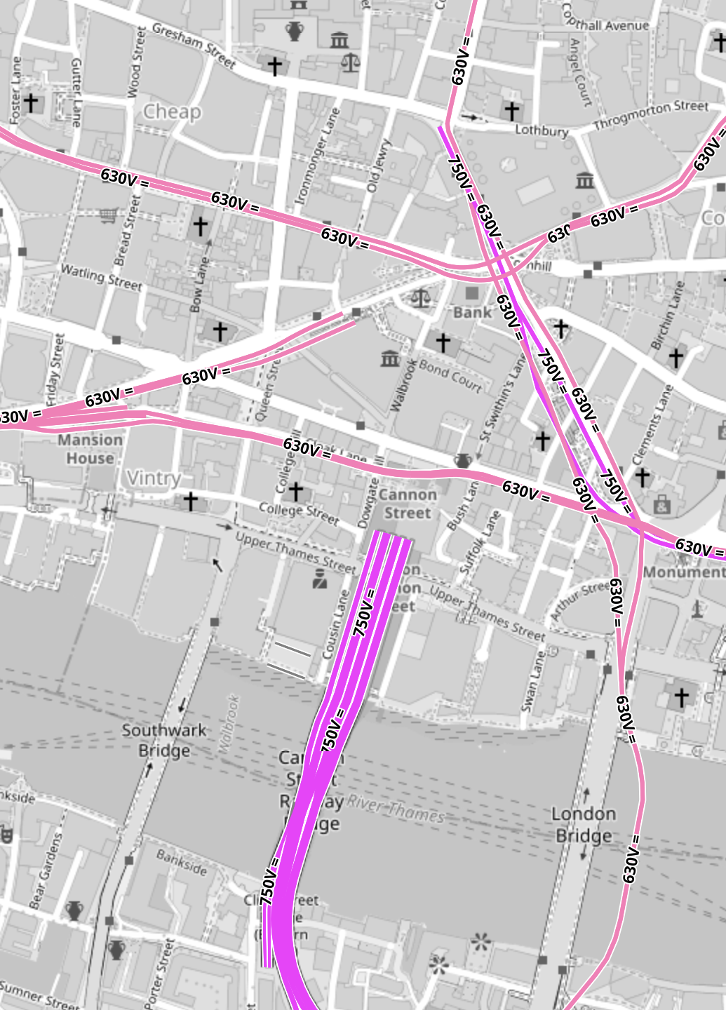
Note.
- All the pink lines are the lines of the London Underground.
- The line running alongside London Bridge is the Northern Line, which is deep under the Thames.
- The mauve lines are those with the slightly higher voltage of the UK National Rail network going into Cannon Street station.
In part of the Bank Station Upgrade, a new Southbound tunnel for the Northern Line was dug, so that the Northern Line platforms at Bank station could be farther apart.
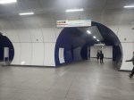
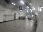
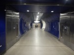
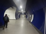
This visualisation shows the station.
The project was an amazing demonstration of what is possible to be achieved in underground construction.
- There is a moving walkway to move passengers between the Central and Northern Lines.
- There are escalators and lifts everywhere.
It was also dug out from London’s helpful soils under scores of important buildings, many of which are listed.
These pictures give a flavour of the underground section of the completed upgrade.


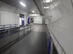


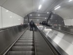

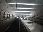
These pictures show the buildings on top of the complex.


Note.
- There is no building of any great height above the station complex.
- There are a lot of quality buildings.
- During all the work underground, I didn’t see any reports of any problems with the buildings on top.
- In How Many Entrances And Exits Does A Station Need?, I counted that the complex now has twenty entries.
It is probably a project that could be repeated elsewhere.
Camden Town, Holborn and Bond Street/Oxford Circus are probably suitable cases for treatment.
Weston Williamson’s Plan For Manchester Piccadilly Station
In The Rival Plans For Piccadilly Station, That Architects Say Will ‘Save Millions’, I wrote about Weston Williamson’s plan for Manchester Piccadilly station.
This was their visualisation.

Note.
- In the visualisation, you are observing the station from the East.
- The existing railway lines into Piccadilly station are shown in red.
- Stockport and Manchester Airport are to the left, which is to the South.
- Note the dreaded Castlefield Corridor in red going off into the distance to Oxford Road and Deansgate stations.
- The new high speed lines are shown in blue.
- To the left they go to Manchester Airport and then on to London, Birmingham and the South, Warrington and Liverpool and Wigan, Preston, Blackpool, Barrow-in-Furness, the North and Scotland.
- To the right, they go to Huddersfield, Bradford, Leeds, Hull and the North East, and Sheffield, Doncaster and the East.
- Between it looks like a low-level High Speed station with at least four tracks and six platforms.
- The Manchester Metrolink is shown in yellow.
The potential for over-site development is immense. If the Station Square Tower was residential, the penthouses would be some of the most desirable places to live in the North.
Londoners Are The Tunnel Kings
Bring On The Robots
Could High Speed Two Have An Underground Station In London?
Look at this map from OpenRailwayMap.
Note.
- Euston station is in the North-West corner of the map.
- St. Pancras and King’s Cross stations can just be seen at the top of the map.
- All lines shown in red have 25 KVAC overhead electrification.
- All lines shown in pink are the London Overground.
- The double track electrified railway meandering across the map from West to East is the Elizabeth Line.
- The pink line going down the middle of the map is the Piccadilly Line.
- The pink line going down the left of the map is the Charing Cross branch of the Northern Line.
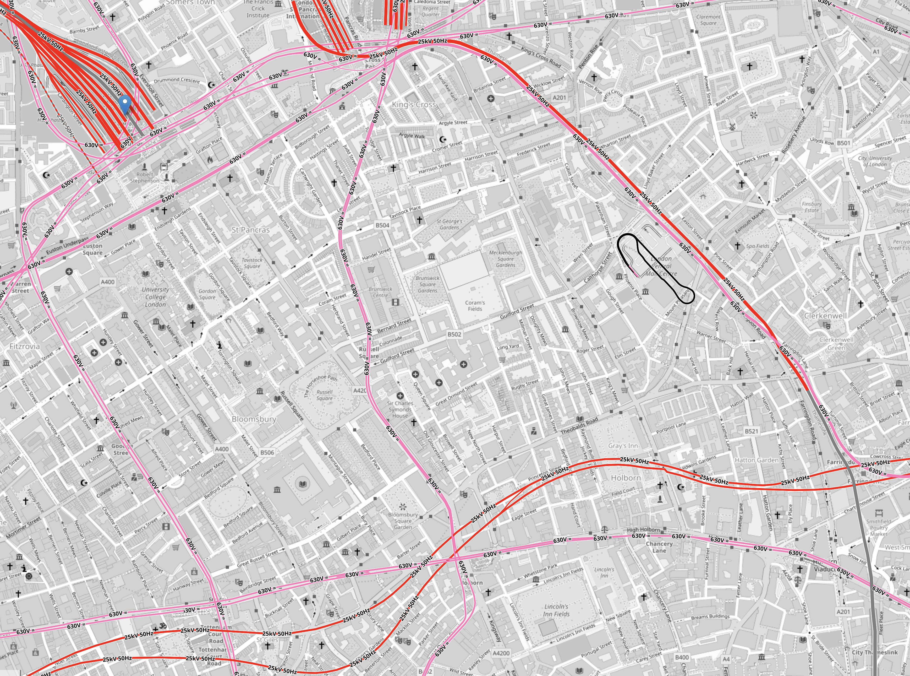
There is a large square area to the South of Euston that doesn’t have any railways crossing it.
It is shown in this map from OpenRailwayMap.
Note.
- As before, red lines have 25 KVAC overhead electrification and pink lines are the Underground.
- The Western boundary of the area is the Charing Cross branch of the Northern Line, which runs between Euston in the North and Tottenham Court Road in the South.
- The Eastern boundary of the area is the Piccadilly Line, which runs between King’s Cross in the North and Holborn in the South.
- The Northern boundary of the area is the sub-surface Circle, Hammersmith & City and Metropolitan Lines, which runs between Warren Street in the West and King’s Cross in the East.
- The Northern and Victoria Lines also run East-West to the North of the sub-surface lines.
- The Southern boundary of the area is the Central and Elizabeth Lines, which run between Tottenham Court Road in the West and Holborn in the East.
It is a substantial area.
So could it be hollowed out to create a below-ground London terminal for High Speed Two?
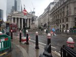
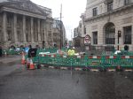
I got a bus from Tottenham Court Road to Euston station and then walked to Holborn, taking these pictures.
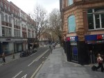
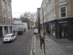


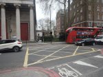
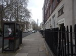
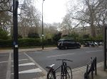
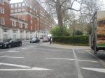
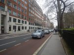
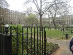
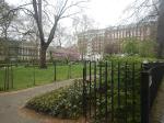
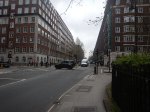
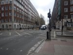

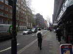
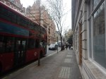
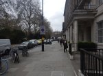
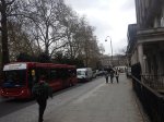
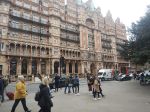
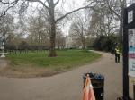
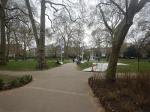
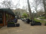

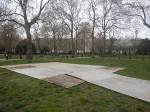
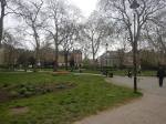

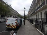
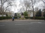
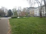
Note.
- There are only two buildings in the area with more than about six floors; University College Hospital and Senate House.
- There a lot of green spaces.
- Bloomsbury Square does have a car park beneath it.
I wonder if a terminal station could be build under the area?
- I suspect if you went fifty metres down there could be plenty of space, that could be excavated.
- Tunnels with moving walkway and escalators could link the station to the Central, Circle, Elizabeth, Hammersmith and City, Metropolitan, Northern and Piccadilly Lines.
- There would be space to have 400 metre long platforms.
- As all trains would be electric, there would be no fume problems.
- There could be lifts and escalators to the green spaces on the top.
I have a feeling that most of people living or working inside the North and South Circular Roads could get to the station by public transport with at most a single change.
Could The Giant Station At Bank, Liverpool Street, Monument And Moorgate Be Considered A Superhub?
In Is The City Of London Moving Towards One Giant Station?, I showed how the four stations were being drawn together and developed as one large station that served the heart of the City of London.
London is also developing other large interchange stations that could claim because of their connectivity could be classed as London superhub stations.
- Canary Wharf stations, which connect the Elizabeth and Jubilee Lines, and the Docklands Light Railway.
- Old Oak Common station, which could bring together the Central, Chiltern and Elizabeth Lines, the London Overground and High Speed Two.
- Stratford station, which connects the Central, Elizabeth and Jubilee Lines, the Docklands Light Railway, the London Overground, High Speed One and the Great Eastern Main Line.
- Whitechapel station, which connects the Circle, District, Elizabeth and Hammersmith & City Lines, and the London Overground.
But what are the characteristics of a superhub station?
A Lot Of Lines And Services
Obviously, it must have a lot of lines and services, so perhaps Clapham Junction station is the original superhub station.
All Lines Should Have Step-Free Access
This surely, goes without saying.
There Should Be Lots of Information
If the station is large it needs a lot of information and there’s probably the space to put it.
Helpful Staff
Should we have a fully-staffed kiosk at superhub stations, as there are at some main line stations?
Good Bus Connections
Bus connections at a superhub station must be comprehensive and probably connect to other superhubs.
There Should Be A Selection Of Shops For Travellers
I do my daily food and other shopping, as I travel around London. I’ll often use a station like Paddington with a good selection of shops.
Toilets
There are not enough public toilets in London.
Cash Machines
I know we’re using less cash, but a large station is a secure place to put a cash-machine.
Works Of Art
I also believe that railway stations are a secure place to put some of those large bronze sculptures and other works of art, that are currently locked away in the storerooms of galleries.
Is The City Of London Moving Towards One Giant Station?
Bank and Monument Stations
When I was growing up in the 1950s and 1960s, there used to be an anomaly shown on Harry Beck’s iconic London Tube Map, that stood out as a bit different.
It was between Bank and Monument stations and was marked as an Escalator Connection, which connected the Northern Line at Bank to the District and Circle Lines at Monument.
This link was opened in 1933 and has its own section in Wikipedia labeled Monument Link, 1933.
This link has been joined by more tunnels, lifts and escalators over the last eight decades.
- In 1960, the Waterloo & City Line was connected to the main entrance of Bank station by two moving walkways.
- In 1991, the Docklands Light Railway was extended to the complex, with escalators to both the Bank and Monument entrances to the station complex.
- In November 2018, the new Bloomberg or Wallbrook entrance to the station opened, and I wrote about it in The Bank Station Walbrook Entrance Opened Today.
Bank and Monument stations have been developing as a pair of twin stations for eighty years.
The latest phase of the Bank Station Upgrade has added the following to the complex.
- A new and much large Southbound platform for the Northern Line.
- A moving walking between the Northern Line at Monument station and the Central Line at Bank station.
- Escalators between the Central Line and the Bank station end of the new moving walkway.
- Escalators between the Northern Line and the Docklands Light Railway.
The upgrade will be completed by a new entrance to the station complex on Cannon Street.
This Google Map shows the area of the station.
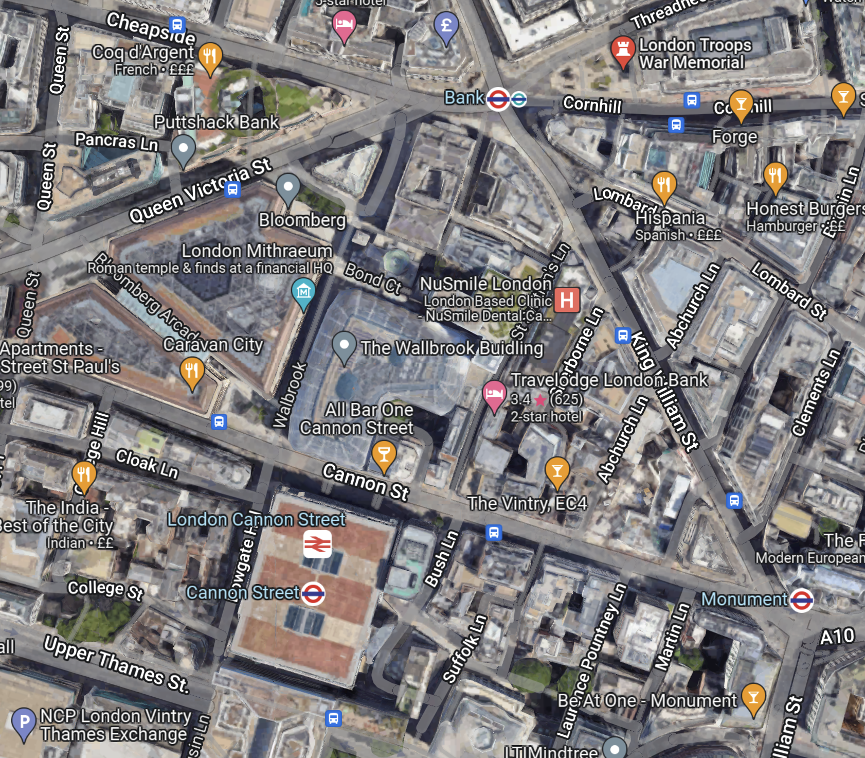
Note.
- The main Bank station entrance the top of the map, by the Bank of England with multiple entrances to the station.
- The main Monument entrance in the South-East corner of the map.
- The Cannon Street entrance will be in the triangle formed by Abchurch Lane, Cannon Street and King William Street.
- The Wallbrook entrance is under the Wallbrook Building.
The station has spread over a wide area, and I wouldn’t be surprised to see more entrances in the future.
Liverpool Street And Moorgate Stations
This Google Map shows Liverpool Street and Moorgate stations.
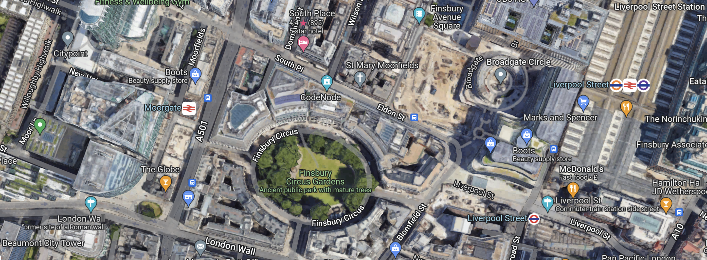
Note.
- The green space is Finsbury Circus Gardens.
- Moorgate station is to the West on the A501 or Moorgate.
- Liverpool Street station is to the East on the A10 or Bishopsgate.
There is now a tunnel between the two stations, as part of the double-ended Liverpool Street Elizabeth Line station.
The drawing from Crossrail shows a cross-section of the Liverpool Street Elizabeth Line station.
Note.
- Moorgate station is on the left.
- Liverpool Street station is on the right.
- In the middle looking like a giant juicer is the ventilation shaft in Finsbury Circus.
- The Crossrail tunnels, which consist of two running tunnels and a pedestrian walkway between them are at the deepest level.
- There are escalators and lifts all over the place.
If it’s raining it’s a good way between the two stations.
The Rail Lines At Liverpool Street And Moorgate Stations
These routes serve the two stations.
- National Rail – Liverpool Street to Essex, Suffolk and Norfolk
- National Rail – Moorgate to North London and Hertfordshire
- Central Line – Liverpool Street
- London Overground – Liverpool Street to North-East London and Hertfordshire
- City, Hammersmith & City and Metropolitan Lines – Liverpool Street and Moorgate
- Elizabeth Line – Liverpool Street and Moorgate
- Northern Line – Moorgate
Note.
- The Circle, Hammersmith & City and Metropolitan Lines have separate stations and platforms in both Liverpool Street and Moorgate.
- The Elizabeth Line station at Liverpool Street is a double-ended station with entrances in both the original Liverpool Street and Moorgate stations.
- You can walk between Liverpool Street and Moorgate stations using the connecting tunnel of the Elizabeth Line station.
- Both Liverpool Street and Moorgate stations are well-served by buses.
These connections mean that if you arrive in either of Liverpool Street or Moorgate and need to leave from the other main station, you can catch a train on the Circle, Hammersmith & City and Metropolitan Lines for one stop or walk through the Elizabeth Line tunnel or on the surface.
The Triangle Of Lines In The City Of London
The City of London effectively has three main Underground stations, that connect to all the important lines through the City.
- Bank/Monument station connects to the Central, Circle, District and Northern Lines
- Liverpool Street station connects to the Circle, Elizabeth, Hammersmith & City, Metropolitan and Northern Lines.
- Moorgate station connects to the Central, Circle, Elizabeth, Hammersmith & City and Metropolitan Lines.
All three stations have direct Underground connections.
- Bank and Liverpool Street via Central Line.
- Monument and Liverpool Street via Circle Line.
- Bank and Moorgate via Northern Line.
- Monument and Moorgate via Circle Line.
- Liverpool Street and Moorgate via Circle, Hammersmith & City and Metropolitan Lines.
Note.
- All interconnecting services are frequent.
- The Circle at six trains per hour (tph) is the least frequent
- The connections at Bank have much improved recently, due to the Bank Station Upgrade.
It is also possible to walk between the three stations.
In Where The City Of London Leads The Rest Will Follow!, I laid out the plans of the City of London to cut vehicles in the City, impose a 15 mph speed limit and improve cycling and walking routes.
If all goes to plan, then this will open up more routes between the three stations.
Conclusion
Bank, Liverpool Street, Monument and Moorgate will evolve into one large interconnected City of London station, that is served by the Central, Circle, Elizabeth, Hammersmith & City, Metropolitan and Northern Lines.
The most important thing that must be done is improve the information.
At least though, the vast walls that have been created in the Bank Station Upgrade and the Elizabeth Line stations, will be up to the task of informing passengers, the routes they need to take.
The other important thing, is to provide step-free and wheelchair-friendly routes between, Bank, Liverpool Street, Monument and Moorgate, so that passengers with reduced mobility can safely get on their way.
After the current round of construction and upgrades, I don’t think any of the rail routes between the stations are step-free.
