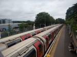
No Trains Out Of Cornwall Until The Weekend After Lorry Hits Plymouth Bridge
The title of this post, is the same as that of this article on The Times.
A few points from the article.
- It was a Tesco truck.
- It took twenty-four hours to extract.
- The accident happened on Ashford Hill in Plymouth.
I found the bridge on Google Maps.
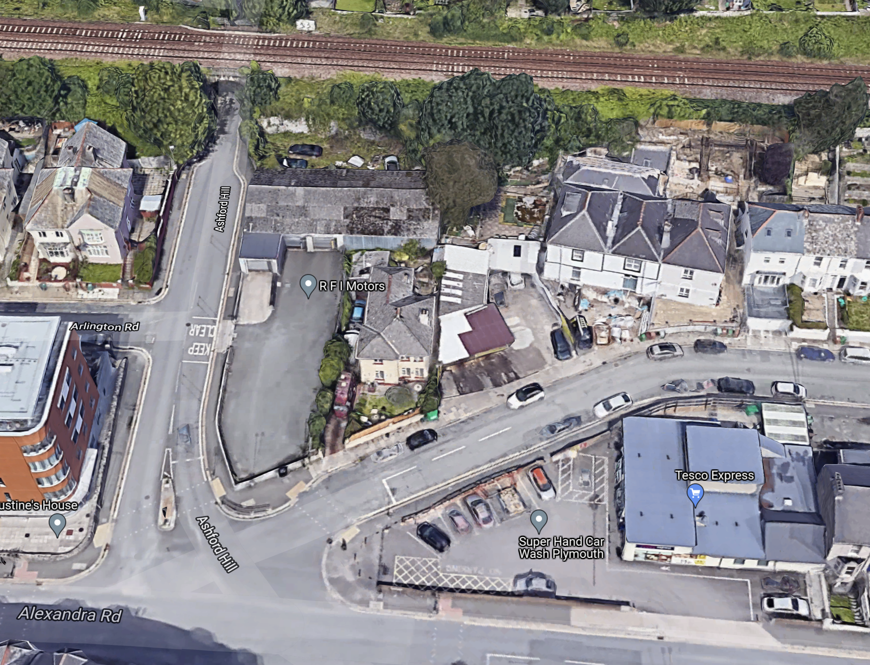
Note.
- The railway and the bridge are at the top of the map.
- My eyesight isn’t good, but I can see the warning signs on the bridge.
- There is a TescoExpress in the bottom right corner of the map.
It can’t be a lot more than a hundred metres between the bridge and the TescoExpress.
To make matters worse for the train operators, the accident site is to the East of Plymouth station, which means trains can’t run to Plymouth.
Will GWR Use Okehampton?
Network Rail have already re-laid the track to Okehampton, prior to opening an hourly service between Exeter and Okehampton later this year.
Okehampton station is close to the A30 and I suspect that GWR would have little difficulty running a five-car Hitachi train to Okehampton from London with a reverse at Exeter. At Okehampton, they could use coaches to serve Cornwall by running to Bodmin Parkway.
If I was the CEO of GWR, I’d see if it could be arranged, as what good publicity they’d get for the new Okehampton service.
Soham Station Aims For December 2021 Opening
This article on Rail Technology Magazine is entitled Soham Set To Benefit From New Station After 56 years Without.
Work only started on Soham station earlier this year, so this paragraph is a bit of a surprise.
The completion of the work means that from December, Greater Anglia’s Ipswich to Peterborough service will finally be able to stop at Soham once more, better connecting the population.
The work referred to is changes to the signalling to allow services to call at the new Soham station.
It certainly appears that the station is being built at a canter!
I have some thoughts on the station.
Station Location
This Google Map shows the town of Soham.
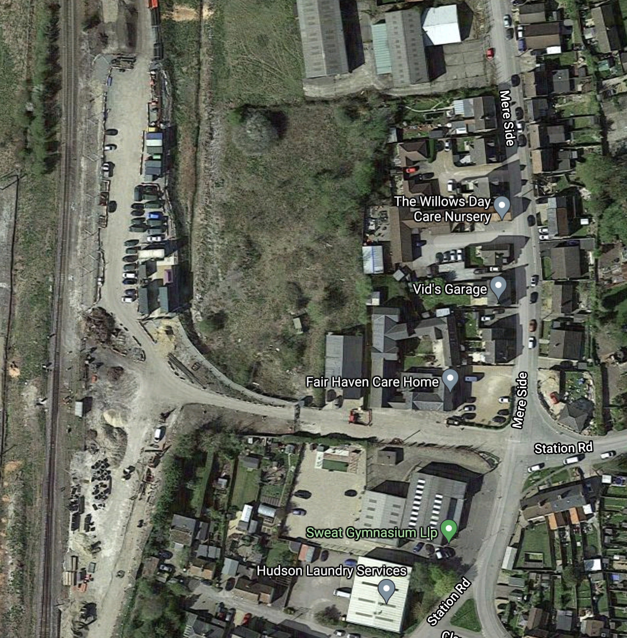
Note.
- The railway between Ely and Ipswich running North-South at the Western edge of the map.
- Station Road connecting the town centre to the railway.
- Looking at the map to a large scale, it certainly appears that construction has started, as dark green portacabins and red and white barriers ae visible.
This Network Rail visualisation shows the proposed station.
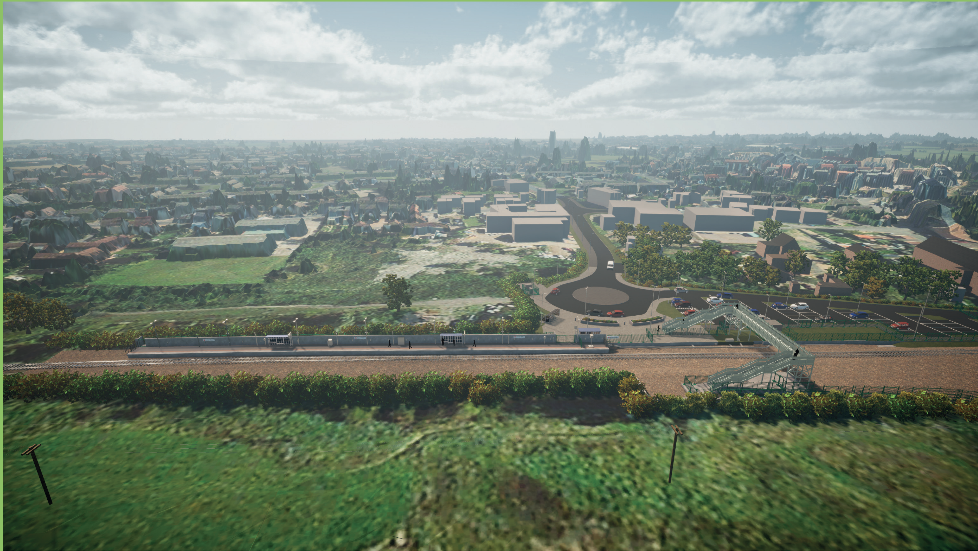
Note.
- The visualisation is looking to the East.
- Ely and Peterborough are to the left.
- Bury St. Edmunds and Ipswich are to the right.
- The footbridge is wide enough to cross a double-track, although the route is currently only single-track at this point.
- There is just a single platform on the town side of the track.
It appears to be a simple design, that possibly could speed the construction.
Station Design
This Network Rail visualisation is a closer view of the proposed station.
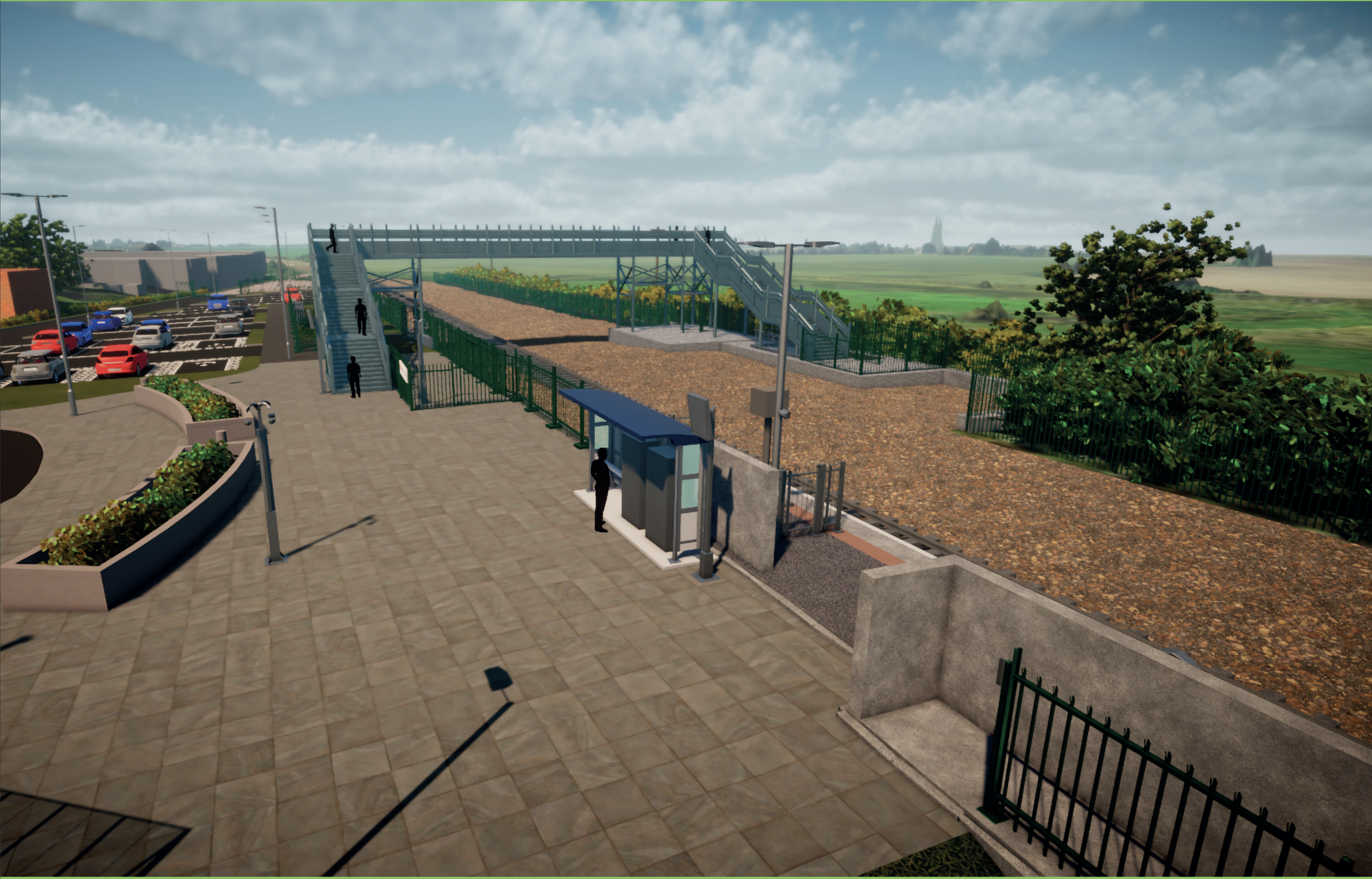
Note.
- The turning circle and the carpark on the town (Eastern) side of the station can be clearly seen.
- The single platform will be 100 metres long and will be able to accommodate a four-car Class 755 train, which is 80.7 metres long.
- It appears that there is a concrete wall at the back of the platform. Is this to protect passengers from the sometimes-biting winds of the Fens or the swirling air currents generated by passing freight trains.
The station and footbridge are future proofed for a possible second platform and lifts.
Services
Currently, Greater Anglia runs a train between Ipswich and Peterborough every two hours, although this was promised to be doubled in frequency at some time in the future.
Times to various stations are as follows.
- Ipswich – 48 minutes
- Bury St. Edmunds – 19 minutes
- Ely – 9 minutes
- Peterborough – 50 minutes
These times are from Real Time Trains, which already acknowledges the station.
Note that to get to the important city of Cambridge passengers will need to change at either Bury St. Edmunds or Ely.
In the future there are two ways that the connection between Soham and Cambridge can be improved.
Reinstatement Of The Warren Hill Junction and Snailwell Junction Chord
This Google Map shows the layout, where the Ely and Ipswich Line and the Cambridge Branch Line join to the North of Newmarket in a triangular junction.
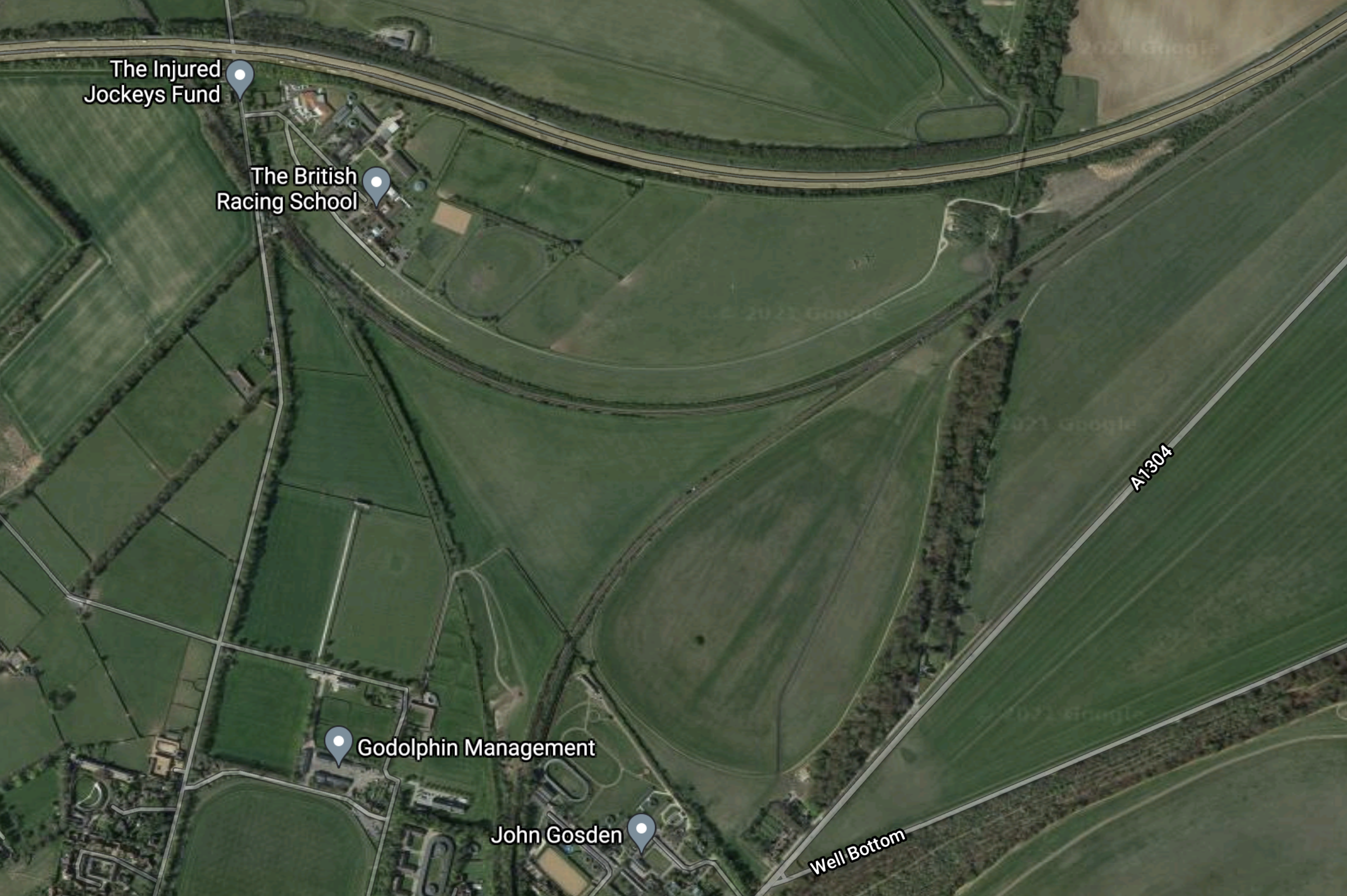
Note.
- The A14 runs across the top of the map.
- The Ely and Ipswich Line runs in a curve to the South of the A14 and the British Racing School.
- The former Snailwell junction was to the South of the British Racing School and was the Northern point of the triangular junction.
- Chippenham junction is the Eastern point of the triangular junction and is where the Ely and Cambridge lines join.
- The former Warren Hill junction was at the South close to the stables of Godolphin and John Gosden and was the Southern point of the triangular junction. From Warren Hill junction the railway runs through the Warren Hill tunnel to Newmarket station and ultimately to Cambridge.
If the chord were to be reinstated between Snailwell and Warren Hill junctions, it would be possible to run an hourly service between Soham and Cambridge via Dullingham and Newmarket.
The A14 Parkway Station
The A14 Parkway station is a proposal from the East West Railway.
- It would be just to the East of Chippenham junction and would be served by both Greater Anglia’s services between Ipswich and Cambridge and Ipswich and Peterborough.
- It would also be close to the major road junction, where the A11 and the A14 meet.
- It would be a Park-and-Ride station.
I believe it could be a major factor in cutting road mileage in East Anglia, as drivers going to Cambridge from Ipswich, Norwich, a large area of North-East East Anglia and North Essex could find that using the A14 Parkway station an easier and faster route. But the A14 Parkway would need a frequent service to the soon-to-be-three main Cambridge stations.
A Soham and Cambridge service could reverse at the A14 Parkway station or by careful timetabling, passengers would be able to change trains in a minute or two.
Two Trains Per Hour Between Newmarket and Cambridge
An hourly service between Soham and Cambridge would add an invaluable second hourly service between Newmarket and Cambridge.
It would also fit in with the regular proposals to reopen stations at Six Mile Bottom, Fulbourn and Cherry Hinton.
If We Have More Electric Cars Do We Need More Parkway Stations?
We are all being encouraged by carrot-and-stick methods to change to zero-carbon vehicles.
And it’s not just from Government and environmental activists!
I was recently asked on a train, if I drove an electric car, by the guy sitting opposite me at a table. He told me, that his ten-year-old BMW needed replacing and his daughters were pestering him to get an electric car.
- He had looked into it and said he could afford one.
- However like many, he was worried about the battery range.
- He also said charging at home would not be a problem, as he lived in a house with parking for three cars and could install his own grid-to-vehicle charger.
- I asked him what he did and like my late wife; C, he was a family barrister.
C would drive thousands of miles a year to Court from our house in Suffolk in her Porsche Boxster, to places like Bedford, Cambridge, Chelmsford, Colchester, Ipswich, Milton Keynes, Norwich, Southend and Yarmouth. Only when she went to London did she use a train from Whittlesford Parkway station.
There are a lot of people like family barristers, where their profession dictates that they travel long distances by car to a variable place of work.
Purchase of an electric car, for some drivers may turn out to be a worrying one, as will they always find a charger at the other end of their journey, to charge the vehicle to get home.
I can see parkway stations like Whittlesford developing into electric parkway stations, where most parking spaces have a charger.
- Parking could be booked, as in many railway car parks.
- Some stations could probably host one or more wind turbines.
- The vehicle batteries with the appropriate grid-to-vehicle technology could be used as grid storage.
Get the technology and the locations right and I can see more parkway stations being developed.
It might also be the sort of infrastructure project that a financial institution like L & G might finance.
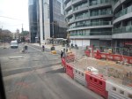
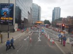
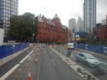
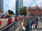
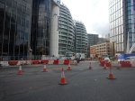
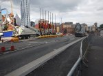
Silicon Roundabout – 31st August 2021
The builders did it. Or at least these sections of the project.
- Getting the roads open.
- Opening the Cowper Street entrance.
These pictures show the roads in the area at around 09:30 this morning.

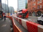
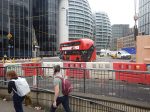
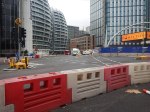

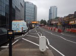


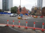

The traffic seemed to be moving freely, but there weren’t many cyclists.
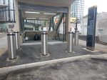
This second gallery shows the new Cowper Street entrance to Old Street station.
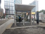
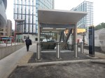


I was able to enter the station, through the new entrance.
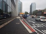
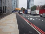
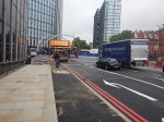
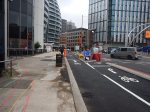
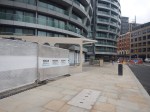
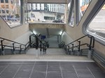
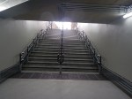
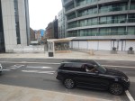
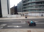
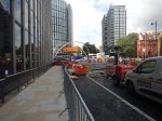
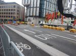
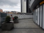
Silicon Roundabout – 30th August 2021
I took these pictures today on a 43 bus going from Liverpool Street to the Angel.
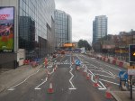


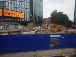


Note.
- These pictures were taken around midday today.
- Old Street to the East of the roundabout seems to have been resurfaced.
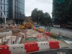
- There still seems to be work to do on the South-East corner of the roundabout.
- The last two photographs show the new staircase to Subway 1. It needs finishing.
I suspect that if they work all night, the new entrances could be open tomorrow.
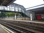
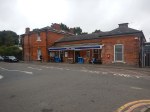
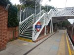
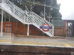
Debden Station – 30th August 2021
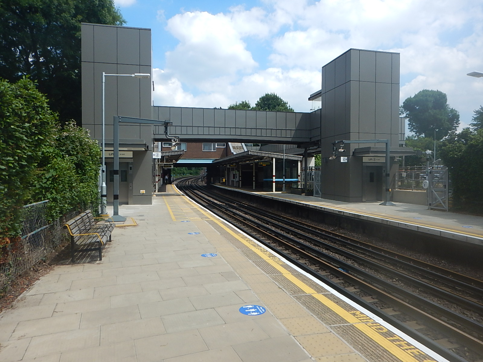
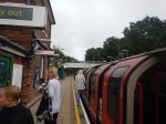
Debden station is now step-free, so I popped in to have a look on my trip back from Epping.
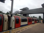


Note.
- The station has three bridges; an old heritage one, a girder construction in the middle and the new steel one between the lift towers.
- The heritage bridge seems to be the one that most passengers use.
- The station building is typical of the 1970s.
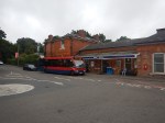
- The station has over two hundred parking spaces. They are also bookable in advance.
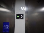
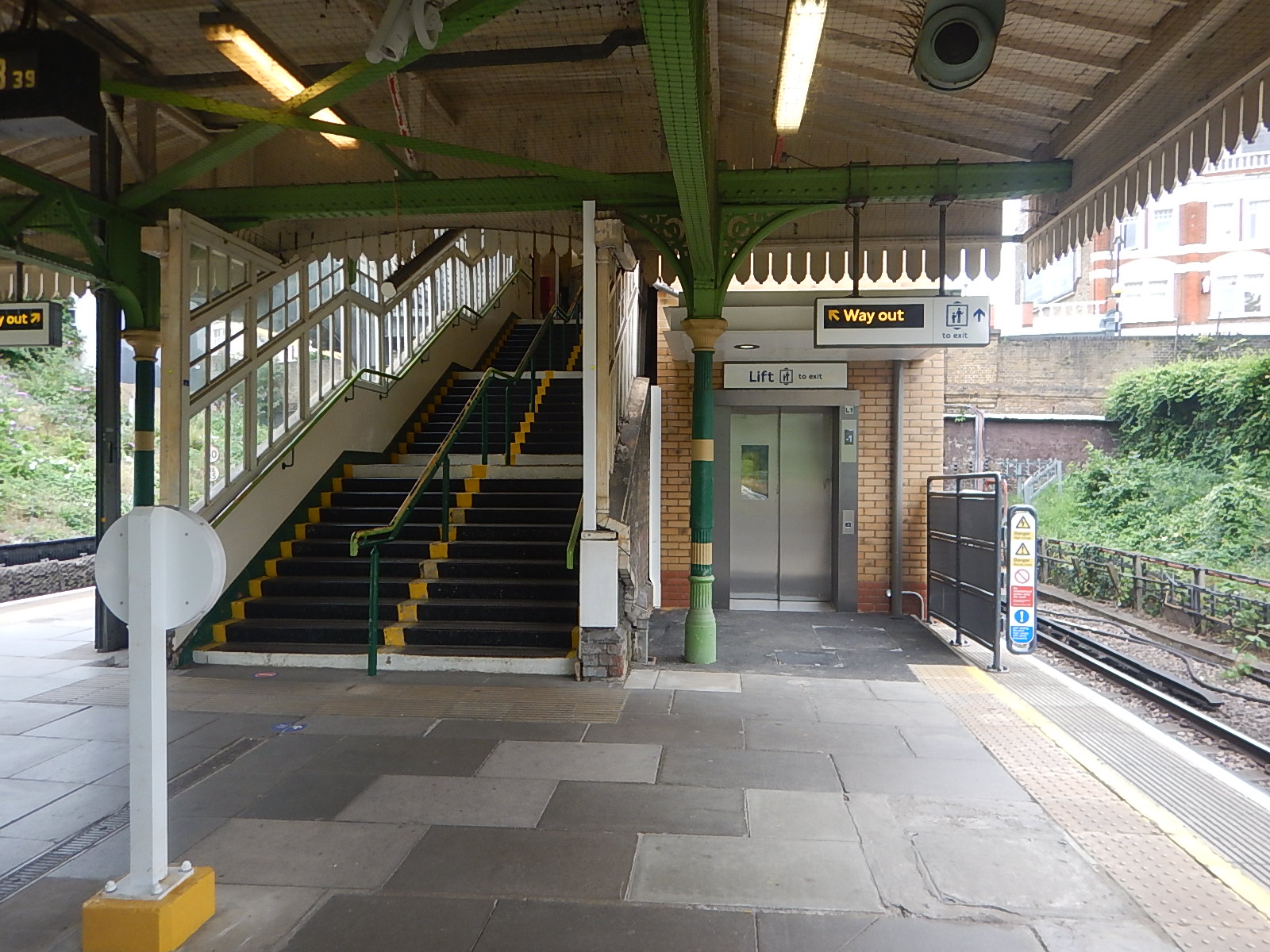
The two new lifts are from Otis and they are in a self-contained installation of just two lifts and a bridge with no steps. Although, there does appear to be emergency stairs to one side.
Have Otis Developed A Modular Lift System?
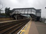
This picture of Wimbledon Park station, is taken from Wimbledon Park Station – 27th August 2021.
The new lift can be seen on the left of the station behind the wall with the posters. It is encased in a dark-grey steel box, with a brick facia on the far side. The lift at Wimbledon Park station is from Otis.
This picture shows the new lifts at Ickenham station.
The lifts appear to have a lot of similarity to those at Debden.
I didn’t check the make of the lifts at Ickenham station, but if they are Otis, it looks like the company could have a modular system for lifts.
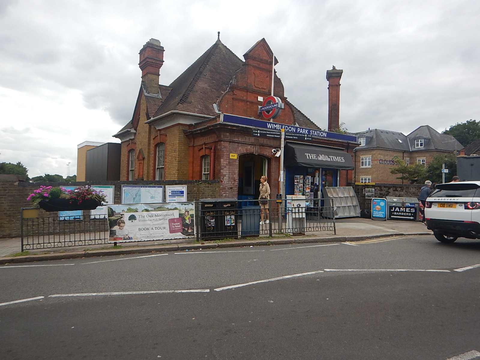
As this picture from Wimbledon Park station shows, they can even be given a tasteful facia.
The single lift at Wimbledon Park station could be the prototype for many similar installations.
Debden Station As A Step-Free Park-And-Ride Station
This Google Map shows the location of Debden station.
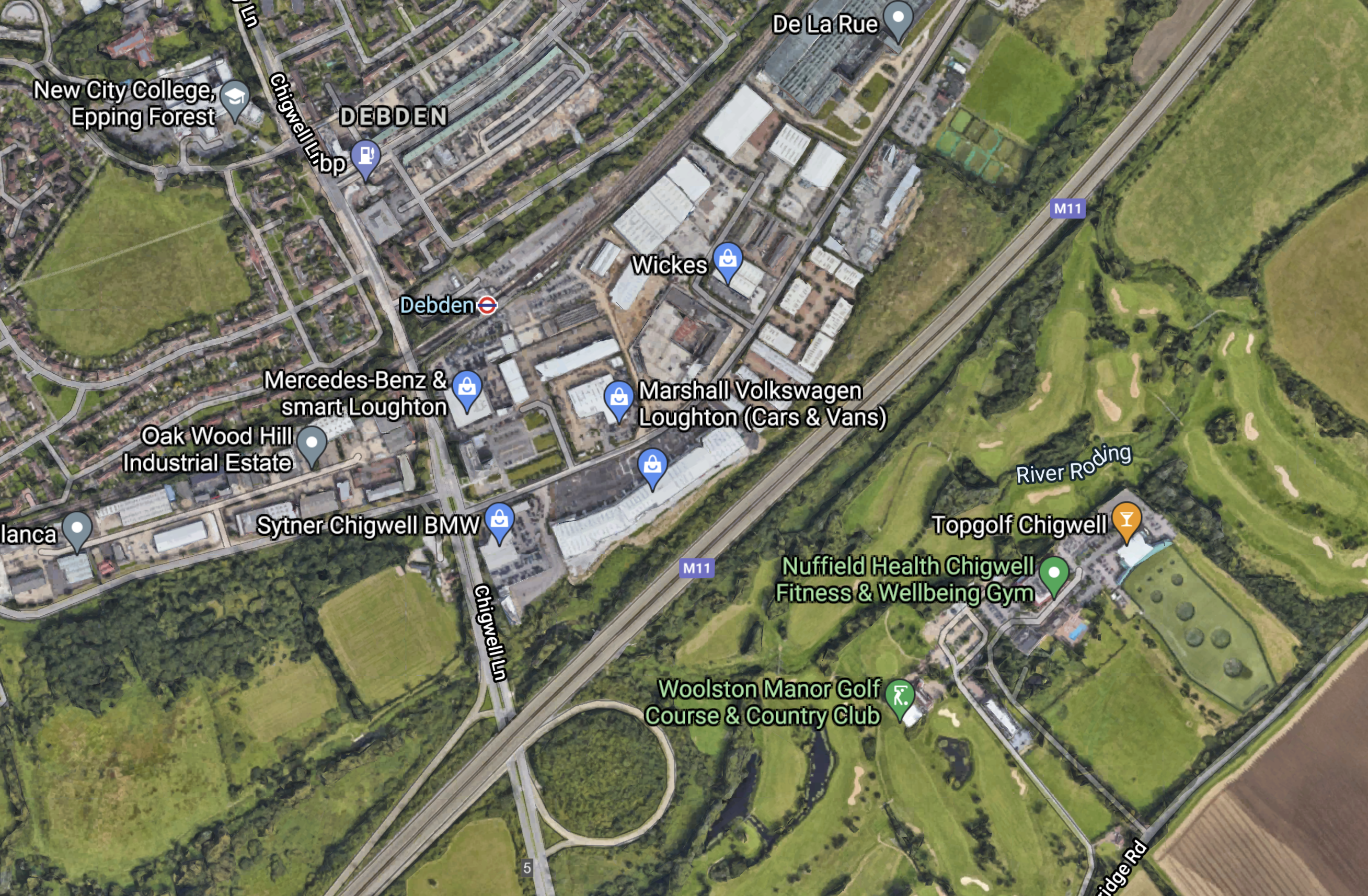
Note the closeness of the M11 to Debden station.
Unfortunately, the junction only connects Chigwell Lane with London and has no connection with the North and Harlow.
There is an urban myth, that Northbound slip roads weren’t built here, to stop robbers getting away to the countryside if they robbed the De La Rue factory of newly-printed bank notes.
This section in Wikipedia says this about Northbound slip-roads at Junction 5.
An official plan to add north-facing connections at junction 5 in Debden, Loughton was abandoned in 1998.
The sliproads would enable Debden station to be used as a Park-and-Ride station for London using the Central Line.
- Liverpool Street, Bank, St. Pauls and Chancery Lane stations would be served in the City of London.
- Debden and Bank are just over half-an-hour apart.
- Driving would probably take a few minutes longer.
- There would be a step-free cross-platform interchange with Crossrail at Stratford station for the West End, Paddington and Heathrow.
I suspect it would be an expensive scheme to develop a fully step-free Park-and-Ride and it would be more affordable to make Epping station fully step-free.
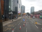
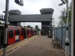
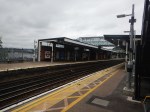
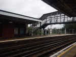
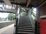
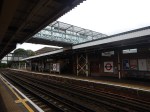
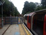
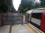
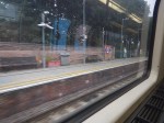
Epping Station – 30th August 2021
In Essex Councillors Call For Underground Link, I discussed the pros and cons of extending the Central Line from Epping station to Harlow.
As I didn’t have any pictures of Epping station. I went to the station and took these.
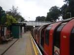
This map from cartometro.com shows the track layout at Epping station.
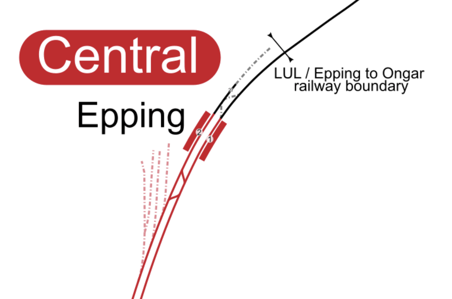
Note.
- There are two platforms both of which are used to terminate trains.
- Platform 2 is step-free, but Platform 1 is only step-free for exit only.
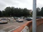
- There is a large car park with 541 spaces including twelve for disabled drivers.
I suspect this means, that someone who has difficulty with the bridge and has parked their car in the car park has a problem.
To my mind there are two obvious solutions.
- Put in a second step-free bridge at the station.
- If no trains go past the ends of the platform, it might be possible to build a level walkway across the two tracks.
It would all depend on the budget and any plans to extend the Central Line to Harlow or on to the tracks of the Epping Ongar Railway.
It would certainly be possible to extend Platform 1 to serve as a platform for the Epping Ongar Railway and have a walkway across the tracks to give step-free access between all three platforms.
- It would make the heritage Epping Ongar Railway into a unique London tourist attraction with direct access from the Underground.
- It might even be possible for the heritage railway to run connection services between Epping and Ongar at times, when they would be financially worthwhile and operationally possible.
There are certainly possibilities.
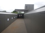
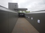
Does Anybody Recognise This Tunnel?
Someone sent me this picture and asked if I knew where it was.
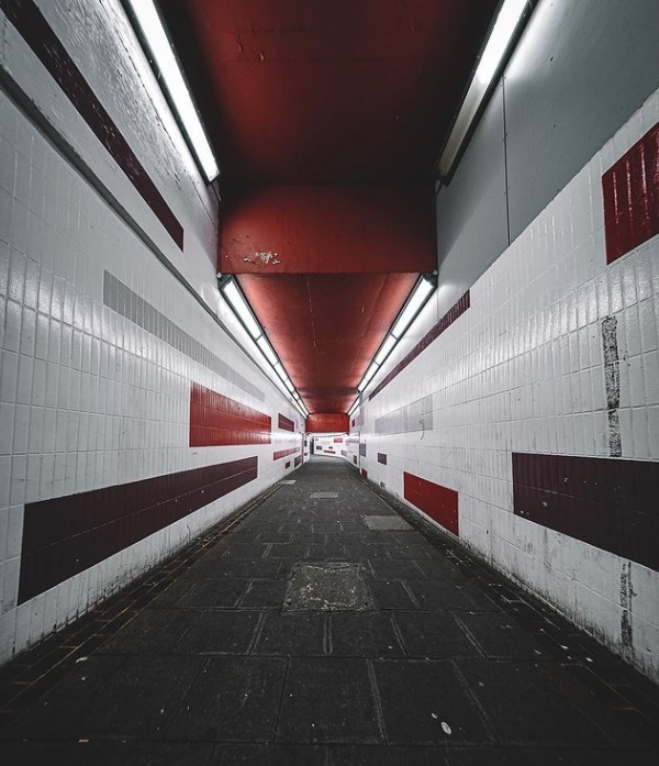
I don’t But do I know a man or woman who does?
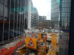
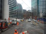
Silicon Roundabout – 29th August 2021
I went back this morning to see what was happening.
I took these pictures walking around the South-Eastern side of the roundabout.

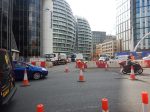


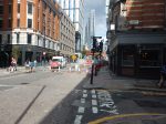
Note.
- I left the station though Subway 1 (North East exit), crossed over Old Street at the lights and then walked to Moorgate station.
- Most of the work I could see, seemed to be concerned with resurfacing the road surface.
- The advertising screen seems to be stuck on Hamilton. Is that an omen for Lewis at Spa or is the play sponsoring the works?
There certainly seems a lot to do before Tuesday morning. Let’s hope the weather holds.
Velocys’ Fischer–Tropsch Tech Picked For E-fuels Project In Japan
The title of this post is the same as that of this article on Renewables Now.
Fischer–Tropsch technology has a chequered history, as it has been used by regimes like Nazi Germany and South Africa under apartheid to create the fuel they need.
But now Oxford University spin-out company; Velocys have improved the process, so that it can turn rubbish destined for landfill into sustainable aviation fuel.
This is the last paragraph from the article.
The developer says its FT reactor can enable the production of SAF from household waste and woody biomass. The end product is a high-quality version of existing fuels, requiring no changes to engines or infrastructure, Velocys says on its website.
This is surely a viable alternative to keep airlines flying, until hydrogen-powered planes are developed.
