Superloop -February 2024
This article on the Londonist, shows the latest status of the Superloop on this TfL map.
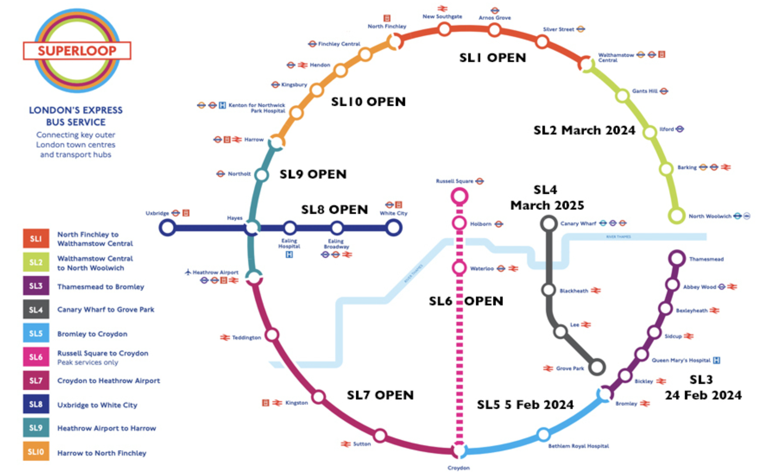
Note.
- The recently opened; SL3 has a lot of stops including Abbey Wood on the Elizabeth Line.
- SL4 will go through the Silvertown Tunnel.
- Since it opened, I’ve never needed to use a Superloop route going about my daily business.
I have this feeling, that a couple of years after it fully opens, there will be a few modifications to the route.
How Not To Organise A Piss-Up In A Brewery
This afternoon, I wanted to get some lunch and buy my food for the weekend.
I live close to the junction of Southgate Road, Mildmay Park and the Balls Pond Road.
From the four bus stops there, I can get buses to the stopping centres of Angel, Dalston Kingsland, Hackney Central and Moorgate.
But not today, as all the bus stops had been closed!
As my leg was playing up, there was no way, I could have walked to the next stop.
In the end I created a fuss and a kind driver let me on a 141 bus to get to Moorgate.
Coming back, I got another 141 bus, which got stuck in the traffic jam, that the part-closure of the junction was creating.


Note.
- The 141 bus took five minutes to pass through the junction.
- Luckily, the driver was sensible and he let a lot of us out.
- As I live South of the Balls Pond Road, it was very convenient.
Obviously, the driver knew more about customer service, that the idiots who organised this megashambles.
I have a few thoughts.
Where Was The Publicity?
I use the 141 bus most days and I didn’t see anything at the bus stops and didn’t get any leaflets through the door.
The Traffic Lights At Southgate And Balls Pond Roads Are Unreliable
They were even worse, when I moved here and Transport for London replaced them a few years ago.
But they seem to have got more unreliable.
Where is John Cleese to give them a good thrashing?
The Silvertown Tunnel Effect
Consider.
- I asked a regular delivery driver, what is the gossip about the Silvertown Tunnel and he felt that it will gum up East London.
- This is my feeling, as before my stroke, I had driven all over the East End trying to save time and knew it well.
- I also feel, that a lot of heavy traffic will end up on the Balls Pond Road, trying to get to and from the M1 and A1, especially, when the Dartford Crossing is closed.
I am fairly certain, that at certain times the junction at Southgate Road, Mildmay Park and the Balls Pond Road is going to get very congested.
The Non-Availability Of Taxis
One of the reasons, I chose to live where I do, is that I am just off the route which taxis use to go back to Liverpool Street station.
But the number of taxis in the area has decreased substantially in the last few years.
- Islington’s Low Traffic Neighbourhoods are scaring taxis away.
- Many drivers are giving up.
- Taxis are expensive.
Consequently, I rarely use a taxi. I never saw one today, when it was needed.
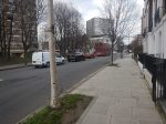
The Junction Is Busy For Pedestrians
Crossing the junction is dangerous, as cyclists only consider the lights optional.
If I’d had a pound for every time, I’d nearly been hit by a cyclist or car on this junction, I could pay for a year’s electricity.
Mildmay Park Station
The area used to have its own station at Mildmay Park about 120 metres to the North of the junction.
This Google Map shows the site of the station.
Note.
- The railway is the North London Line.
- Highbury & Islington station is to the West.
- Dalston Kingsland station is to the East.
Mildmay Park station is marked by the blue arrow on the bridge over the railway.
It would be a very handy Coming-Home station, as its downhill all the way, from the station to my house.
Conclusion
Reopening Mildmay Park station would be good for the price of my house, by I doubt that anything will be done.
Wrightbus Nears Completion Of First Hydrogen Buses For Continental Europe
The title of this post, is the same as that of this article on Sustainable Bus.
This is the first paragraph.
UK bus manufacturer Wrightbus announced through a Linkedin post it is in the final stages of completing its first batch of left-hand-drive single-deck hydrogen buses, known as the Kite Hydroliner, destined for Germany and adhering to full VDV compliance. In May 2022 Wrightbus secured an order from RVK Cologne for 20 fixed and 40 optional orders.
This paragraph is also significant.
The buses come equipped with stated range of 1,030 kilometers, a fully flat saloon floor, rapid refueling in under 8 minutes, and are crafted “using key components from tier 1 global suppliers”.
A 1030 kilometre (640 miles) range is enough to go between London and Carlisle and back.
Google Starts Building £790m Site In Hertfordshire
The title of this post, is the same as that of this article on the BBC.
This is the sub-heading.
Google has invested $1bn (£790m) to build its first UK data centre
These are the first four paragraphs.
The tech giant said construction had started at a 33-acre site in Waltham Cross, Hertfordshire, and hoped it would be completed by 2025.
Google stressed it was too early to say how many jobs would be created but it would need engineers, project managers, data centre technicians, electricians, catering and security personnel.
The prime minister said it showed the UK had “huge potential for growth”.
The project marked the latest investment by a major US tech firm in Britain, after Microsoft announced it would invest £2.5bn to expand data centres for artificial intelligence (AI) across the UK.
Note.
- By “completed by 2025” do they mean completed before 2025 or completed by the end of 2025. Judging by the time they took to build their London HQ, its the latter.
- Rishi is right about the UK having a huge potential for growth! Especially, if the nihilists of the United States vote in the Big Orange!
- Judging by the total spend of £2.5 billion on data centres and the £790 million for this one, this looks to be the first of three.
But where is this data centre going to be built?
This article on EssexLive is entitled Google To Move Into Waltham Cross With £788m Data Centre To Support ‘AI Innovation’, where this is said.
The new data centre will go on land at Maxwell’s Farm, next to the A10 Great Cambridge Road and around one mile from the M25 junction 25. Debbie Weinstein, Google vice president and managing director in the UK and Ireland, set out the decision in a blog post on Thursday, January 18 – the fourth day of the World Economic Forum’s Davos 2024 in Switzerland.
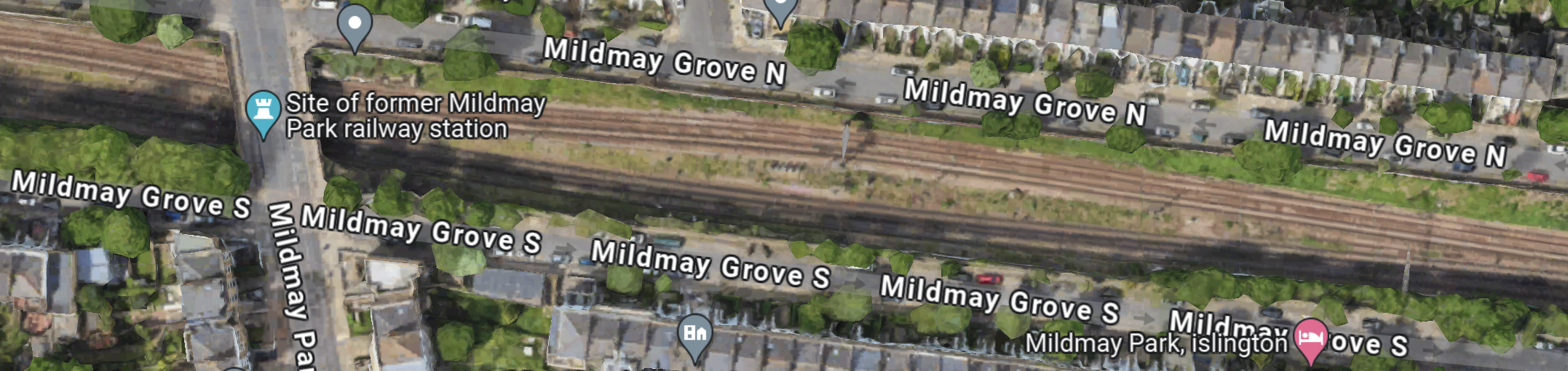
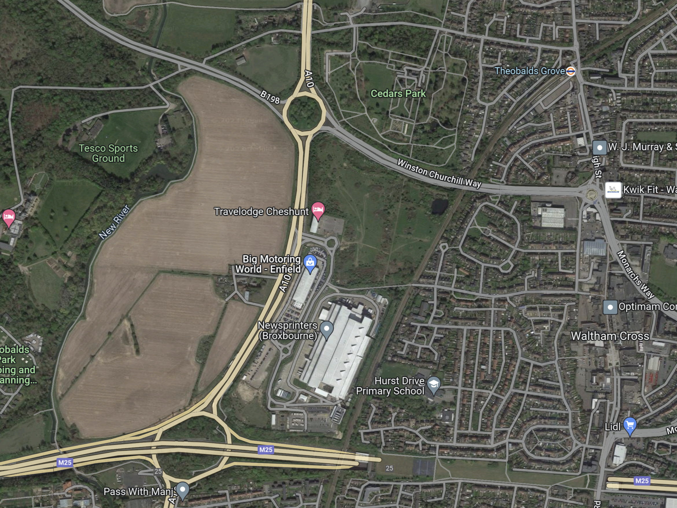
This is a Goggle Map of that area, when I searched for Maxwell’s Farm.
Note.
- The red arrow indicates the result of my search, which Google interpreted as A.J. Maxwell.
- The dual-carriageway road running down the East side of the map is the A10 between London and Cambridge.
- The A10 road joins the M25 at Junction 25.
- The arrow to the South-West of the roundabout indicates the new studios; Sunset Waltham Cross, which is being built.
- At the other side of the studio site, there is a label saying New River and this important piece of London’s water infrastructure can be traced to the top of the map.
- The other dual-carriageway road is the B198 or Lieutenant Ellis Way.
- A quick calculation shows that 33 acres is roughly a 365 metre square.
I would suspect that the data centre will lie somewhere between the A10, the B198 and the New River.
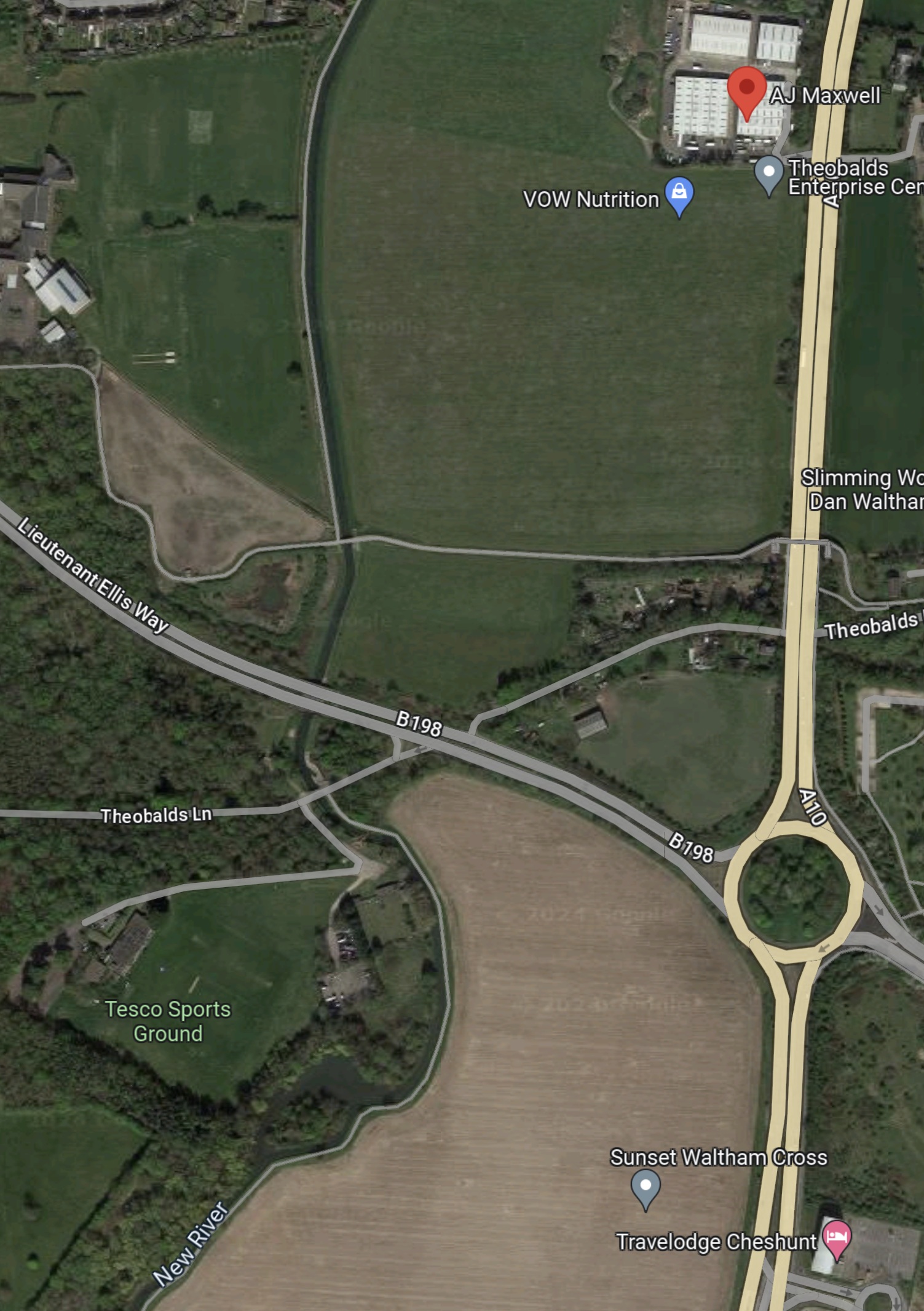
This Google Map shows the South-East corner of the site.
Note.
- There appears to be a lane running East-West, that crosses over both the A10 and the New River.
- Theobalds Lane appears to have some housing and possibly a farm.
- The smaller field by the roundabout appears to have some animals using it as grazing.
- The field between the East-West lane and Theobalds Lane appears to have a good crop of cereal.
The East-West lane would appear to be a possible Southern border of the site.
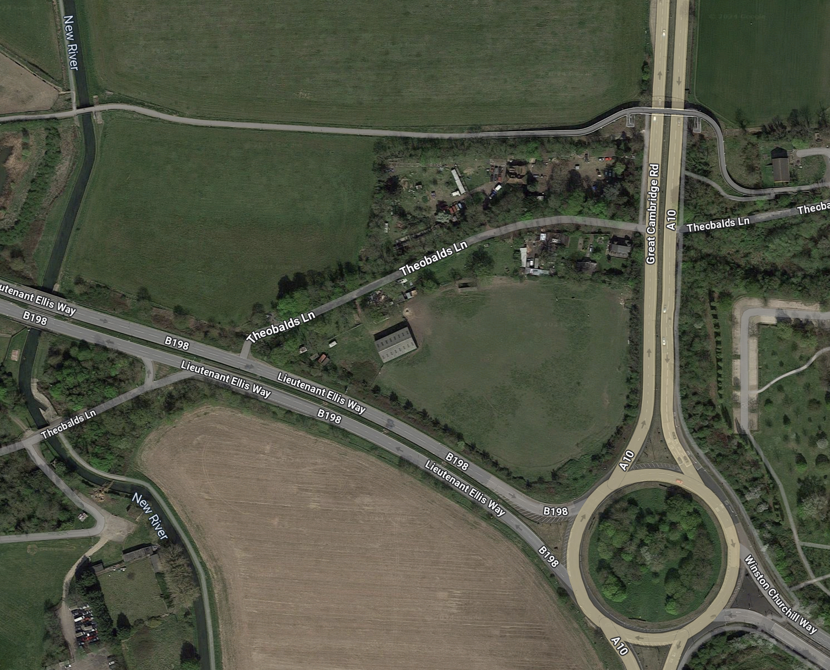
This Google Map shows where the East-West lane goes.
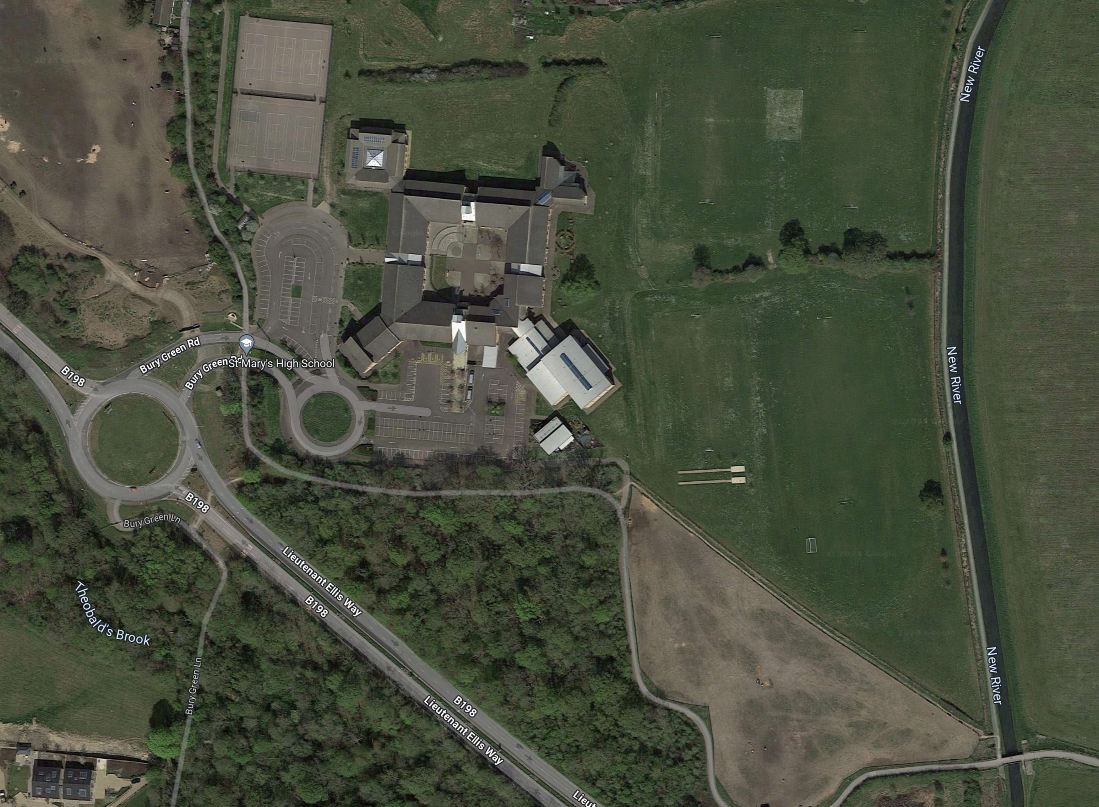
Note.
- The lane leads to Queen Mary’s High School.
- The school also has access from Lieutenant Ellis Way.
- The New River appears to form, the Eastern boundary of the school site.
- There are sports pitches between the New River and the school.
The New River looks to be the Western boundary of the Google site.
This Google Map shows around the red arrow from the Google search that led me to this area.
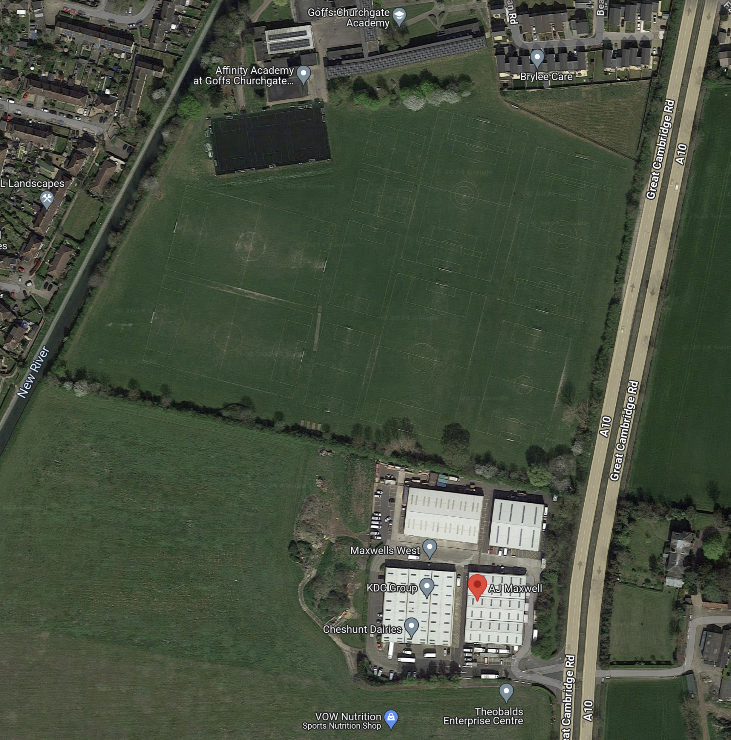
Note.
- A.J. Maxwell is identified by the red arrow in the Theobalds Enterprise Centre.
- The New River can be seen at the West of the map.
- A hedge runs roughly East-West to the North of the Enterprise Centre.
- North of the hedge are a number of football pitches, which appear to belong to the Affinity Academy at Goffs Churchgate.
The hedge could be the Northern boundary of the Google site.
This Google Map shows the area between the South of the Enterprise Centre and the East-West lane I picked out earlier.
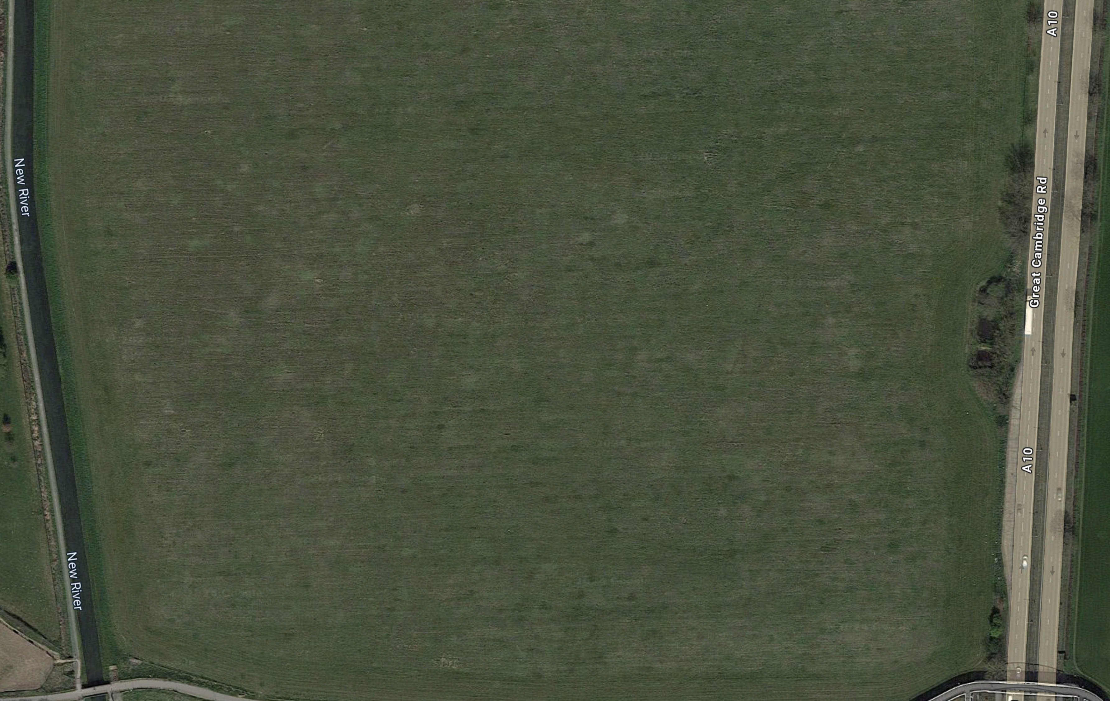
A crude measurement indicates it could be around 33 acres or slightly more.
This picture is used in nearly all the news reports about the Data Centre.

Note.
- Could that be the gentle curve of the New River on the left?
- With the high fence, the New River forms an almost-mediaeval defence against trespassers.
- There looks to be a dual-carriageway road running down the other side of the site, which would be the A10.
- Between the A10 and the site, there appears to be loots of dark areas, which I take to be car parks.
- Are the car-parking spaces in the front of the picture marked for those, who are disabled? There certainly appear to be chargers on some spaces.
I have a few thoughts.
The Relative Locations Of Google’s Data Centre And Sunset Studios?
This Google Map shows the two sites to the West of the A10.

Note.
- St. Mary’s High School is in the North-West corner of the map.
- Cheshunt Football Club is in the North-East corner of the map.
- The dual-carriageway A10 runs North-South on the map.
- I believe that Google’s Waltham Cross Data Centre will be located in the field to the West of the A10, at the top of the map.
- The A10 connects to the M25 at Junction 25, which is in the centre at the bottom of the map.
- In The Location Of Sunset Studios In Broxbourne, Sunset Studios are placed to the North West of the Junction 25 roundabout.
- Just as the A10 forms the Eastern boundary of both sites, the New River forms the Western boundary.
The two sites are close together between the A10 and the New River, separated by the dual-carriageway Lieutenant Ellis Way.
Will Google’s Data Centre Be Storing Data For Sunset Studios?
I’ve never worked in the production of films, but these days with digital electronic cameras, CGI, motion capture and other techniques, producing a film must need huge amounts of data storage.
- So have Sunset Studios outsourced their data storage needs to Google?
- Perhaps too, Sunset Studios found the local authority welcoming and this attitude was recommended to Google.
- Both sites will need local services like electricity, gas, sewage and water.
I suspect that there would be cost savings in construction and operation, if the two sites shared the utilities.
Providing Electricity And Heat For Both Sites
Consider.
- I estimate from information given in the Wikipedia entry for Google Data Centres, that a data centre needs between 10 and 12 MW.
- There is no obvious power source like offshore wind or a nuclear power station nearby.
- There is the 715 MW Rye House gas-fired power station, which is a few miles away.
- In Google Buys Scottish Offshore Wind Power, I talked about how Google had signed a Corporate Power Purchase Agreement to buy 100 MW from the Moray West offshore wind farm.
Google and Sunset Studios would also want an electrical and heat supply that is at least 100 % reliable.
Liverpool University had the same problem on their hundred acre campus in the centre of Liverpool.
- The University decided to build their own 4 MW Combined Heat and Power Unit (CHP), which is described in this data sheet.
- It is fired by natural gas.
- On their web site, Liverpool University state that their CHP can be adapted to different fuel blends. I take this includes zero-carbon fuels like hydrogen and carbon-neutral fuels like biomethane.
But given their location in Waltham Cross close to the Lea Valley, CHP units may have a use for their carbon dioxide.
This Google Map shows between Junction 15 of the M25 and Tomworld.

Note.
- Junction 25 of the M25, where it joins the A10 is in the South-West corner of the map.
- The sites of Google’s Data Centre and Sunset Studios can be picked out with reference to the previous map.
- Tomworld is in the North-East corner of the map.
- So why should Tomworld need a lot of carbon-dioxide?
This Google Map shows Tomworld.
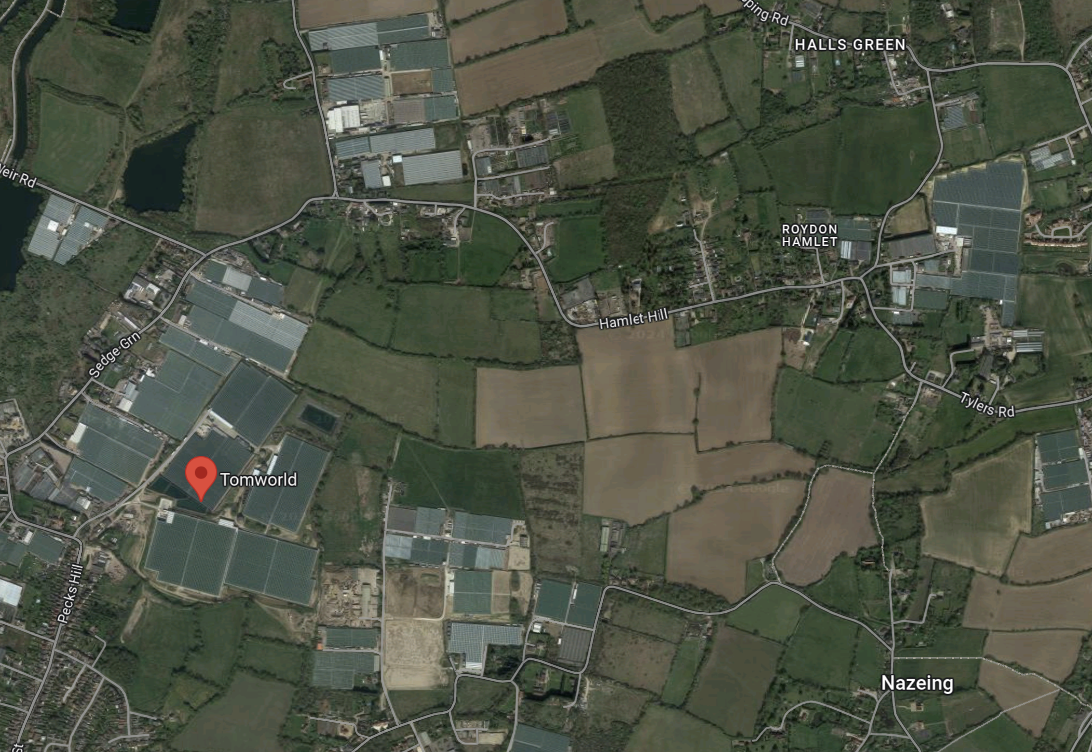
Note.
- This web page indicates what Tomworld do.
- They have 44 acres of glass growing tomatoes, about five miles to the North-East of Google’s Data Centre.
- The map has lots of other greenhouses.
I know of a guy, who has a large greenhouse, that grows tomatoes for the supermarkets.
- He heats the greenhouse with a gas-fired Combined Heat and Power Unit (CHP).
- The electricity produced runs his business.
- Any surplus electricity is fed into the grid.
- The carbon dioxide is fed to the plants in the greenhouse, which helps them grow quality tomatoes.
I just wonder, if carbon dioxide from CHP units at Google’s Data Centre and Sunset Studios could be used by the multitude of greenhouses in the Lea Valley.
Could A Carbon Dioxide Pipeline Be Built Along The M25?
This Google Map shows the Northern section of the M25, South of Waltham Cross.
Note.
- The M25 running East-West across the bottom of the map.
- Junction 25 of the M25 in the South-West corner of the map.
- The A10 running North-South at the West of the map.
- Google’s data centre and Sunset Studio are to the West of the A10.
- The River Lee, which has numerous water courses is at the East of the map.
I wonder, if a carbon dioxide pipeline could be built along the M25 to connect the producers to those who could use it?
- It would not be a dangerous pipeline as carbon dioxide is a fire extinguisher.
- It wouldn’t be a huge pipe.
I think it would be possible.
Google’s Commitment To Being Zero-Carbon
This blog post on the Google web site is entitled Our $1 Billion Investment In A New UK Data Centre, has a section, which has a sub-title of 24/7 Carbon-Free Energy By 2030, where this is a paragraph.
Additionally, we’re also exploring new and innovative ways to use the heat generated by data centres, and this new facility will also have provisions for off-site heat recovery. Off-site heat recovery presents an opportunity for energy conservation that benefits the local community, as it allows us to capture the heat generated by the data centre so that it can be used by nearby homes and businesses. The data centre is also set to deploy an air-based cooling system.
If they are using off-site heat recovery, it would be logical to use waste carbon dioxide from CHPs to provide carbon dioxide for the local horticultural businesses.
Will Google Be Building A Vertical Farm Nearby?
In Schneider Electric: Vertical Farming – The Next Yield In Data Centre Sustainability, I noted that some data centres are paired with vertical farms to increase their sustainability.
Could Google be doing that in Waltham Cross?
- They will have a lot of waste heat.
- They will have a fair bit of carbon dioxide, which could be used to help plants grow.
- The local workforce probably contains a lot of experience of market gardening.
I like the idea of pairing a data centre and a vertical farm.
Public Transport Access
Consider.
- Increasingly, the cost of electric vehicles, medical problems and the UK economic situation are causing people to adopt a car-free lifestyle.
- After my stroke, my eyesight deteriorated such, that I am no longer allowed to drive.
- Others may live in one-car families and it may not be their’s to use every day.
- Or your car may just break down on the way to work.
For these and probably lots of other reasons, any large site employing a lot of employees, must have a valid way of getting there by public transport.
The nearest rail station to Google’s Data Centre and Sunset Studios is Theobalds Grove station.
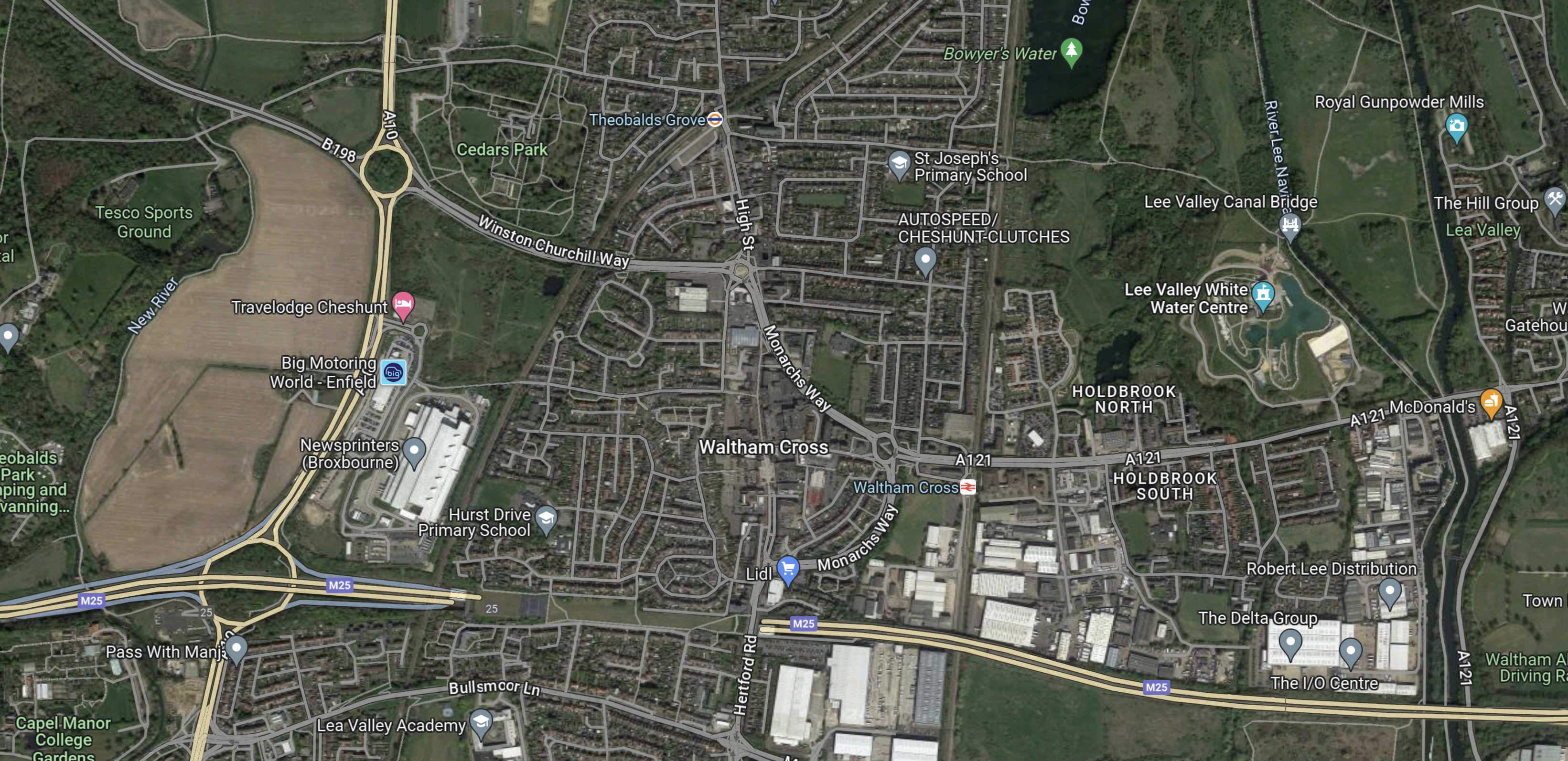
This Google Map shows the roads between the sites and the station.
![]()
Note.
- The Sunset Waltham Cross label in the South West corner.
- Google’s Data Centre will be just off the map to the West of the A10.
- Theobalds Grove station is marked by the TfL roundel in the North-East corner of the map.
- There would appear to be no bus stops on Winston Churchill Way or the A10.
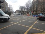
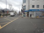
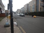
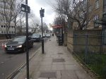
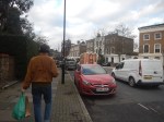
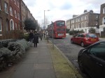
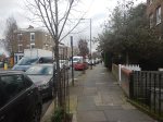
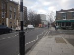
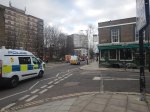
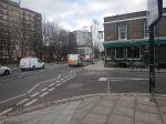
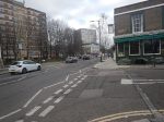
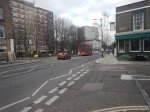
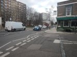
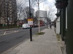
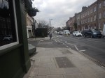
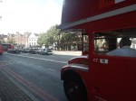
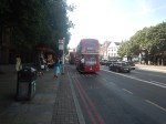
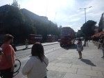
I walked South from the station to Winston Churchill Way, where I took these pictures.
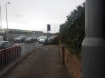
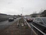
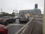


Note.
- At that point, I gave up because of the cold and pollution.
- It was also a Saturday morning about midday.
The route I took is certainly not an alternative route to get to Google’s Data Centre or Sunset Studios.
A Possible Station At Park Plaza North
This article on the BBC is entitled Broxbourne: Two New Stations Planned.
This is the sub-heading.
Two new train stations could be built in Hertfordshire if plans to tighten planning policies are adopted.
This is the first paragraph.
Broxbourne Borough Council said stops at Park Plaza North – between Turkey Street and Theobalds Grove London Overground stations – and Turnford on the London to Bishop’s Stortford route would be subject to a consultation.
Later the BBC say that Park Plaza North station will be South of the A121 Winston Churchill Way near Waltham Cross
This Google Map shows the area South-East of the roundabout, where Winston Churchill Way meets the A10.
Note.
- The green patch of land to the South-East of the roundabout where Winston Churchill Way meets the A10 appears to be ripe for development.
- Looking at the green patch with a higher resolution, the land is little more than high class scrub beloved of newts.
- The London Overground line to Cheshunt runs down the East side of the site.
- To the North, the London Overground crosses Winston Churchill Way to get to Theobalds Grove station.
- To the South, the London Overground crosses the M25 to get to Turkey Street station.
- There is a lane running East-West along the South edge of the site, which crosses the railway in a level crossing.
This picture clipped from Google StreetView shows the level crossing.
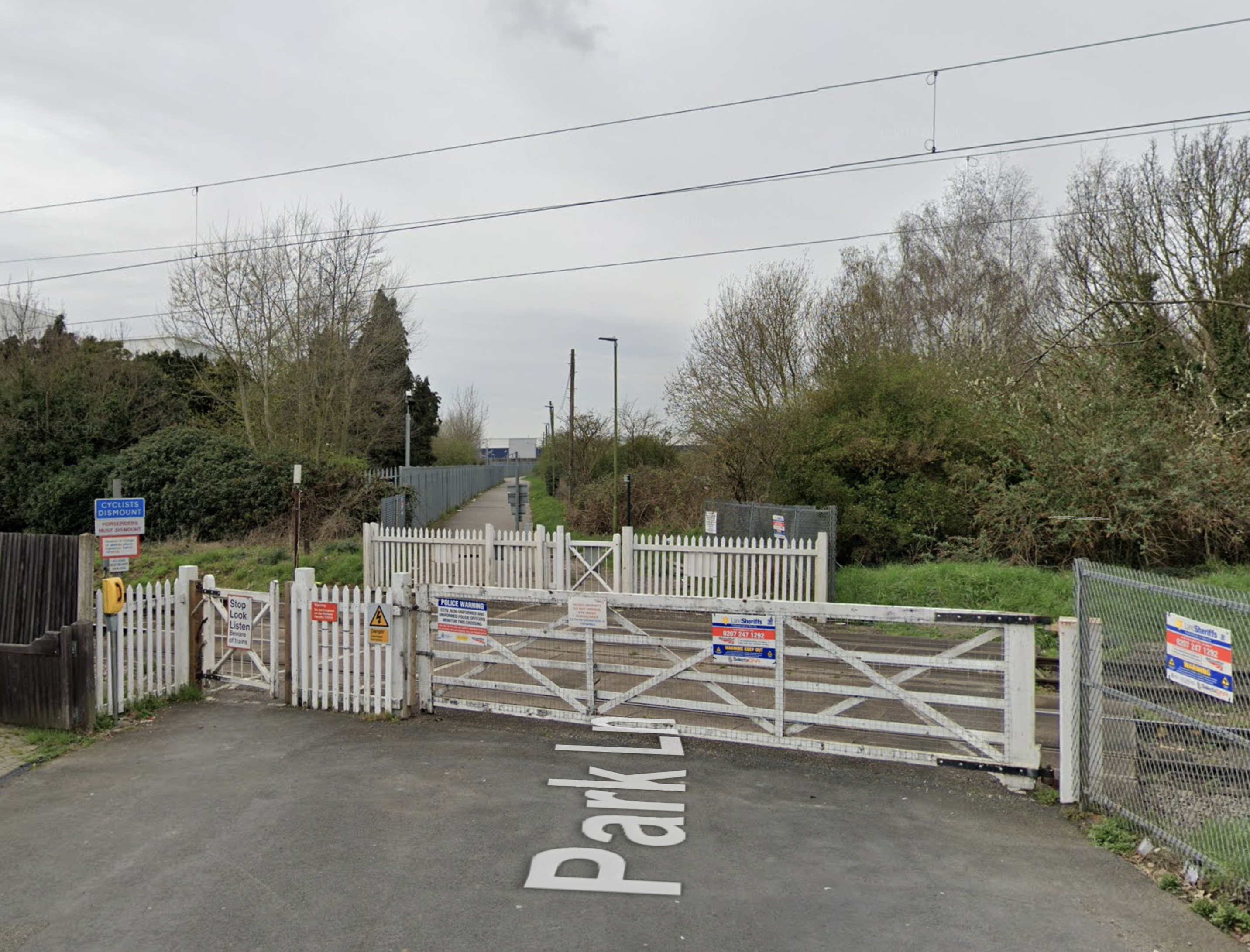
This is certainly one, that drivers dread.
This GoogleMap shows the level crossing and a stretch of the London Overground.
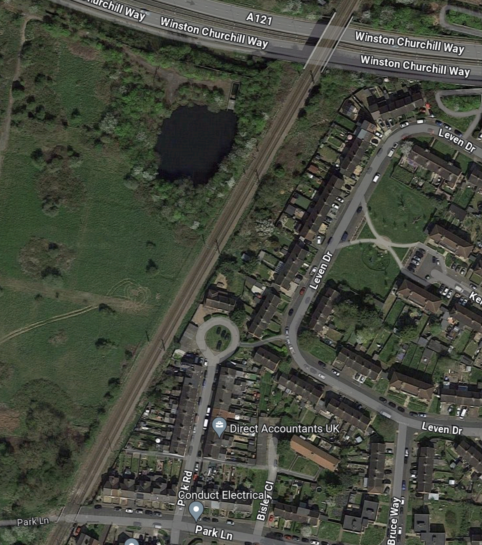
Note.
- The level crossing is in the South-East corner of the map.
- There isn’t much space to put a London-bound platform on the East side of the tracks, South of the Park Road circle.
- There is plenty of space to put a Cheshunt-bound platform on the West side of the tracks.
- North of the Park Road circle, there would appear to be space for two platforms.
It will need a lot of ingenuity to provide a safe and efficient solution to the problems of the level crossing and fitting a station in this limited space.
The first thing I’d do, would be to dig an underpass for pedestrians and cyclists to connect the two halves of Park Lane.
Hull Trains Sees Biggest Timetable Transformation In Its 23 Year History
The title of this post, is the same as that of this press release from Hull Trains.
These are the first two paragraphs.
Hull Trains has announced it is now running extended 10 carriage trains on a number of its services from Wednesday to Sunday due to growing passenger numbers, bringing an extra 4,000 available seats per week for customers.
Introducing this extra capacity, especially on a Sunday, has been an aspiration of the operator for some time now and it is delighted to finally be able to launch these longer train services. The change will bring additional seats and offers to Hull Trains’ services for customers.
These two paragraphs talks about their performance.
A report released in late 2023 by the Office of Road and Rail (ORR), showed that Hull Trains have led the way for long-distance train operators, reporting a 34% growth in journeys compared to the previous year.
This provided further evidence of Hull Trains’ stability and strength with the local open-access operator now delivering 28% more journeys than it was before the pandemic.
So why have they outperformed other operators?
A Local Presence And Name Must Help
So if you’re going to London, you’re probably more likely to use a local train company. It’s also easy to market.
Hull Has One Of The Best Bus/Train Interchanges In The Country
Recently, I went to an SSE presentation about their Hydrogen Pathfinder Project at Aldbrough. This was given at Horden about twenty miles from Hull and the buses to and from the station were just a hundred metres from the platform at Hull station.
They were also reasonable frequent.
At some stations like Leeds, Manchester Piccadilly and Newcastle the bus/train interchange is bad and require a walk halfway across the City Centre.
Money is Tight At The Moment
I suspect that bus and train is cheaper than going by car to the station.
As in many households there are at often two cars, I wouldn’t be surprised that if one partner can manage without a car, a lot of families have reduced the number of cars they have.
This would be difficult in some places as public transport, isn’t good enough to rely on.
So Hull’s excellent bus/train interchange would benefit train operators.
Interestingly, Doncaster has a co-located bus station.
Sheffield Also Is A Good Bus/Train Interchange
Hull Trains proposed new route is London and Sheffield, which I wrote about in FirstGroup Applies To Run New London To Sheffield Rail Service.
Conclusion
Hull trains are certainly getting it right, but I do think the buses in Hull help.
Wales’ Public Transport Priorities All Wrong, Expert Says
The title of this post, is the same as that if this article on the BBC.
This is the sub-heading.
The Welsh government has got its priorities wrong over public transport, an expert has said.
These five paragraphs outline the story.
Ministers should have improved bus and train services before reducing speeds from 30mph to 20mph on many Welsh roads, said Stuart Cole, Emeritus Professor at University of South Wales.
He said public transport facilities should have been “put in before any other anti-motorist legislation”.
The Welsh government said current arrangements were complex across Wales.
But Prof Cole said the Welsh government had “gone about it the wrong way round” although “what they’ve done is not in itself a bad idea”.
He said he wanted to see Wales emulate the Netherlands, where there’s been massive investment in trains and buses to entice motorists out of their cars.
I agree with Professor Cole and I feel that the Welsh Government’s approach has been all stick and no carrot!
He also criticises the lack of a Welsh travel card.
The article gives a classic example of bad transport planning.
Llanelli, in Carmarthenshire, which happens to be Transport Minister Lee Waters’ constituency, is a good example of how buses and trains are not integrated.
The bus station is a mile away from the train station, and there are no buses linking the two.
In fact there are no buses at all from the railway station.
There must be other examples like this all over the country.
Perhaps we need a UK-wide complaints department for idiocies like this.
Hydrogen Bus Fleet Project Gains Momentum
The title of this post, is the same as that of this article from Energy Live News.
This is the sub-heading.
Luxfer Gas Cylinders and Ricardo have formed a partnership to advance a project that aims to deploy 150 hydrogen-powered buses on UK routes by 2024
I first came across this project in June 2022 and wrote Ricardo Repowers Double Decker Diesel Bus With Hydrogen Fuel Cells, where I said this.
The title of this post, is the same as that of this press release from Ricardo.
Ricardo, a global strategic, environmental, and engineering consulting company, in partnership with Stagecoach North East, has repowered a diesel, double decker bus with a hydrogen fuel cell propulsion system. Delivering zero tailpipe emissions, Ricardo is now seeking to secure customers to invest in the production of a fleet of passenger vehicles fit for the future of sustainable shared mobility.
The project, part funded by the Department of Transport, through its Hydrogen Transport Hub Demonstration competition, saw Ricardo, working with Stagecoach North East to retro-fitted hydrogen fuel cell technology into an existing double decker bus. It created a zero emissions demonstrator that is now undergoing a ten-week test and demonstration programme around the Tees Valley and Brighton and Hove. Feedback and data from the trials will support the team to explore future market opportunities and applications with bus operators and other partners across the UK and beyond.
Given that there are around 38,000 existing buses in the UK, many of which still have a few years of life left, this surely must be an affordable way of creating more zero-carbon hydrogen buses.
It appears that Ricardo are aiming to have an initial batch of 150 buses in service from late 2024.
It looks to me, that this project is certainly gaining momentum.
Wrightbus To Provide Hydrogen Buses For Sizewell C Nuclear Plant
The title of this post, is the same as that of this article on the BBC.
This is the sub-heading.
Ballymena bus manufacturer Wrightbus is providing four hydrogen buses to the Sizewell C nuclear power site as part of a pilot scheme.
These first three paragraphs outline the scheme.
If successful, up to 150 buses could be ordered, making it one of the largest hydrogen bus fleets in the world.
Construction of the plant is to begin next year and multiple vehicles will be needed to move workers to and from the site.
Sizewell C will test the performance of four double-decker buses.
As I used to live in that area, I know the buses are bad and this will surely help.
Heritage Buses On The 38 Bus Route
Today, was one of those days, when the 38 bus was augmented by a few heritage buses.


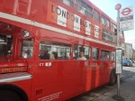
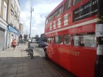
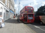
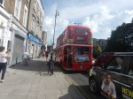

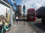
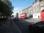

Everybody was swapping stories of buses and their childhoods.
Canary Wharf Move Means Expansion For Drug Trials Operator
The title of this post, is the same as that of this article on The Times.
These three paragraphs outline the story.
An Aim-listed company that tests infectious and respiratory disease products on volunteers is preparing to move its operations to Canary Wharf.
Amid booming demand for its services, hVIVO, which infects volunteers with safe doses of virus agents, then quarantines them before testing the efficacy of vaccines and antivirals — in so-called human challenge trials — will move from its clinics in Whitechapel, east London, to a new larger facility near by owned by Canary Wharf Group early next year.
Canary Wharf is aiming to attract businesses from the life sciences and health sectors in a drive to become a sciences hub and less reliant on the financial services industry.
This is the second story about life science companies moving to Canary Wharf after Canary Wharf Boosts Its Science Ambitions.
I have my thoughts.
Canary Wharf Is A Transport Hub
Canary Wharf is served by the following transport links.
- Buses
- Docklands Light Railway
- Elizabeth Line
- Jubilee Line
- Thames Clipper
It is very well-connected, which means that staff and volunteers can get there easily.
Canary Wharf Is A Leisure Destination
Canary Wharf is very much more than a collection of expensive offices.
There are shops, bars, restaurants, a museum and a cinema complex.
There Is A Shortage Of Lab-Rats
I volunteer for medical research and regularly, I’m called in to help with the recruitment of more volunteers.
I suspect, that many would prefer to volunteer at Canary Wharf, rather than some parts of London.
Conclusion
I suspect that we’ll see an expansion of medical research of all kinds at Canary Wharf.
