Chesham Station – 26th August 2023
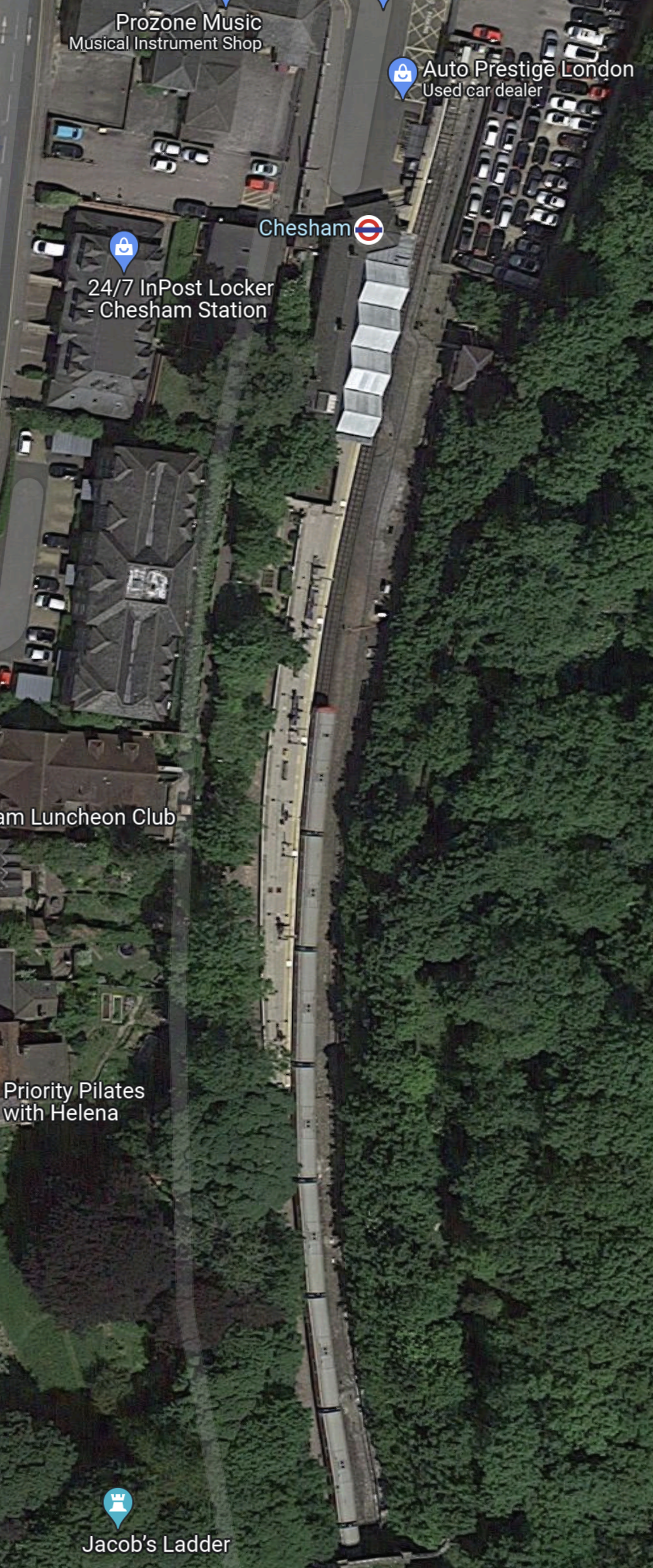
This Google Map shows Chesham station.
Note.
- The station only has one platform.
- An eight-car train is in the platform.
- There used to be a four-car bay platform, to the West of the island platform.
The Chesham branch is only single track.
These pictures show the station.
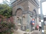
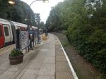

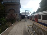
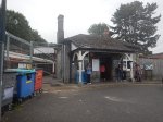
The station is a Grade II Listed Building.
Ruislip Station – 16th July 2023
In TfL Announces The Next Tube Stations To Be Prioritised For Step-Free Access To Meet The Mayor’s Bold Accessibility Targets, it stated that Ruislip station will be made step-free.
So I went to have a look and took these pictures.
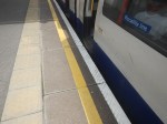
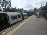
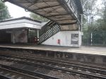
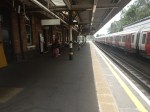
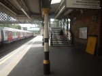
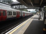
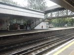
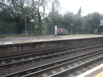
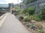
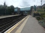
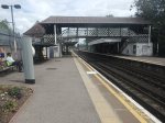
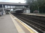
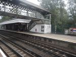
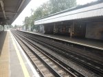
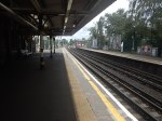
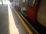
Note.
- The station is used by Piccadilly and Metropolitan Line trains, which are different sizes.
- There appears to be a well-preserved signal-box at the Eastern end of the station.
- The Eastbound platform has step-free access from the street.
- Crossing the tracks is by a Victorian steel footbridge.
- The station is Grade II Listed.
- The listing includes the the signal box and the footbridge.
This 3D Google Map shows the station.
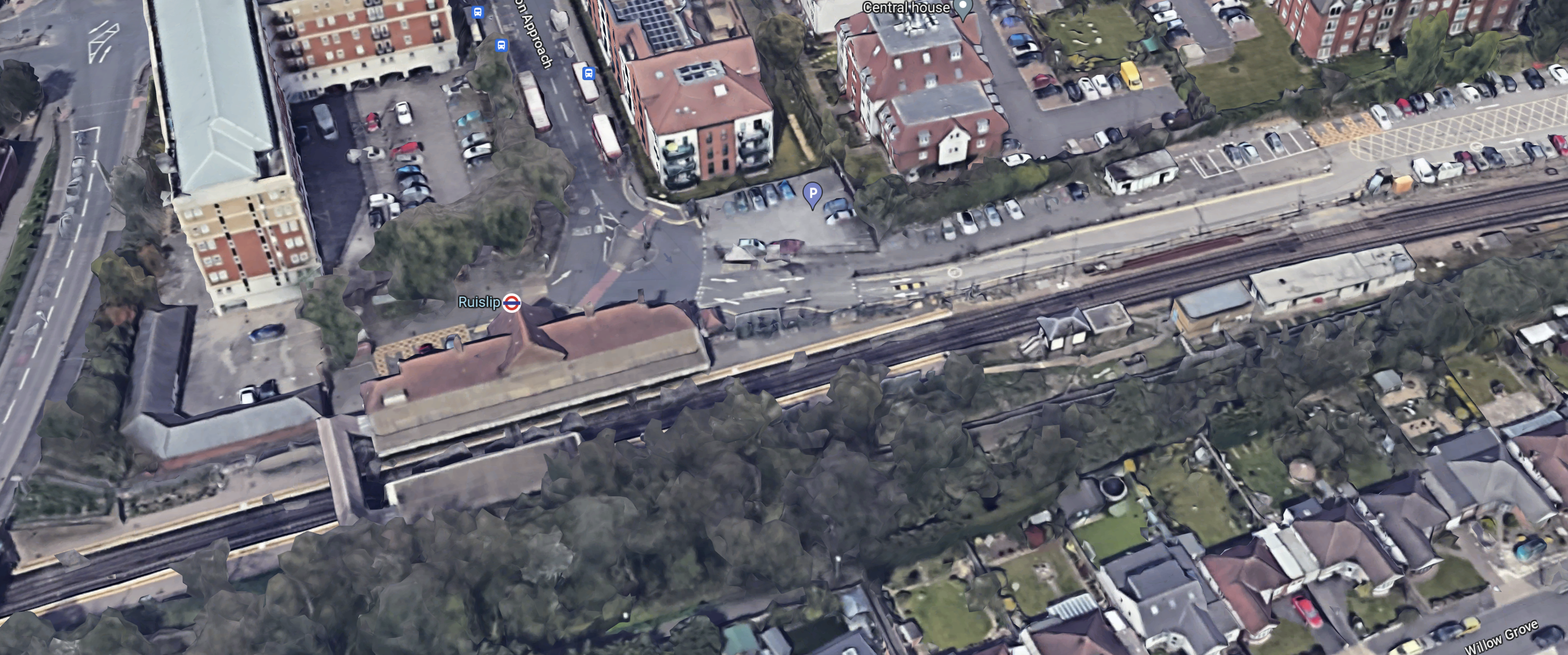
Note.
- The footbridge in the South-West corner of the map.
- There is not much space to put a second bridge across the tracks.
- It might be possible to build a step-free footbridge with lifts by the road bridge.
If English Heritage and the Heritage Taliban dig in their heels, this could be a difficult station to make step-free.
But the London Underground has several bridges of this type, so perhaps this one is being scheduled early to test the reaction.
This second Google Map shows the road bridge and the Western ends of the platforms to an enlarged scale.
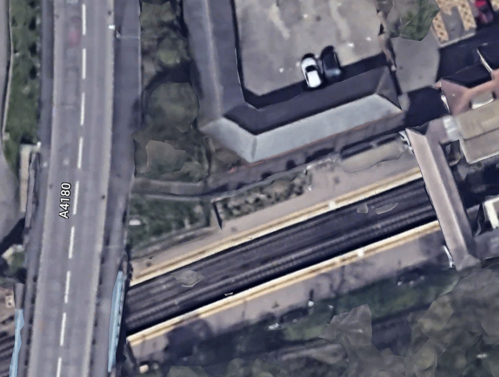
This picture shows the station side of the road bridge.
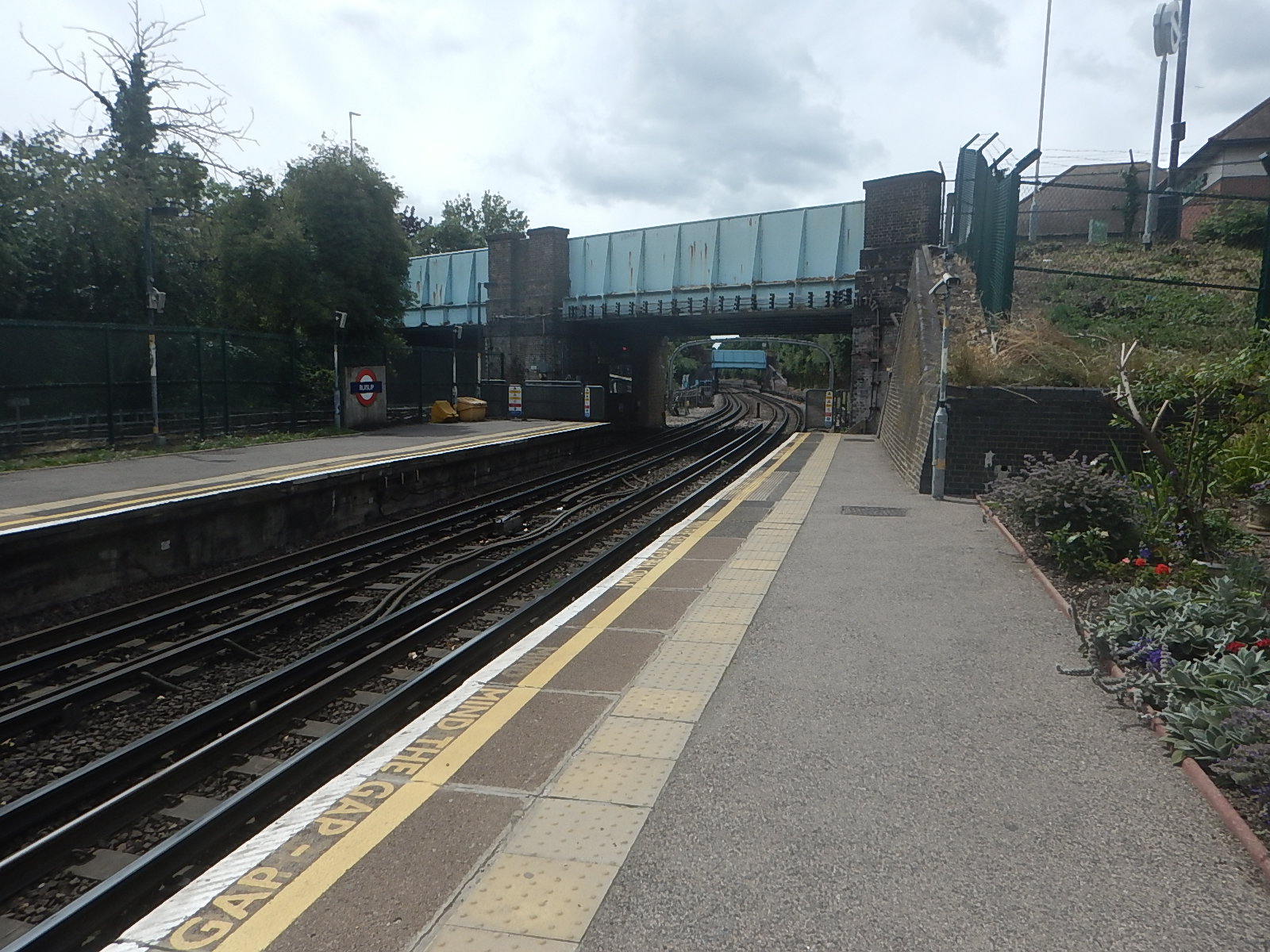
There could be space to put a steel bridge with two lifts by the road bridge.
Coupled with a comprehensive restoration of the current footbridge and a repainting of the road bridge, this could satisfy all parties.
Kentish Town Station – 30th April 2023
This article on the BBC is entitled Kentish Town Tube Station Set To Close For Year.
This is the sub-heading.
Kentish Town Tube station is set to close for up to a year while its 26-year-old escalators are replaced.
Other works will also be performed during the closure.
- The ticket office will be removed.
- The ticket barriers will be realigned.
- New paintworks, flooring, wall tiling, and new signage will also be fitted.
These pictures show the current state of Kentish Town station.
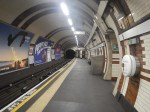
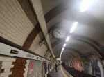
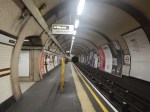
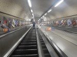
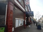
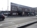
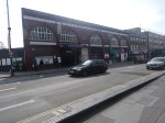
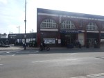
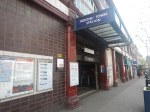
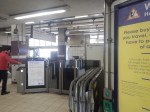
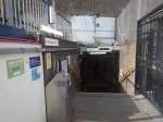
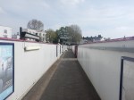
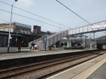
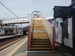
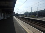

Note.
- The Victorian frontage of the station could do with a refurbishment.
- The platforms need to be restored to be the same standard as the clock.
- The escalators don’t look as bad as the article says, but new ones will give them forty years.
- Information around the gate-line for both the Underground and Thameslink, is not to the standards this passenger expects.
- The stairs connecting the London Underground station to the Thameslink bridge could be improved.
- The Thameslink information is good.
- The bridge needs lifts.
There is even a side-gate to access the Thameslink platforms, if the main entrance is closed.
Are More Trains Needed?
For a Sunday morning, both stations were surprisingly busy.
But there were only two Thameslink trains per hour (tph) between Luton and Rainham.
On all days except Sunday, the four tph Sutton Loop Line is usually running, but on Sunday it appears it’s only the Luton and Rainham service.
I suspect the Sunday service will be boosted for the duration of the closure.
Could The Side Gate Be Used Permanently?
The side-gate to the Thameslink platforms will have to be used during the station closure.
But could some arrangement be designed, so that it could be used all of the time?
Conclusion
With an unlimited budget, there’s a lot that could be done at this station.
Could High Speed Two Have An Underground Station In London?
The Achievement Of The Bank Station Upgrade
This map from OpenRailwayMap shows the lines through Bank and Monument stations.
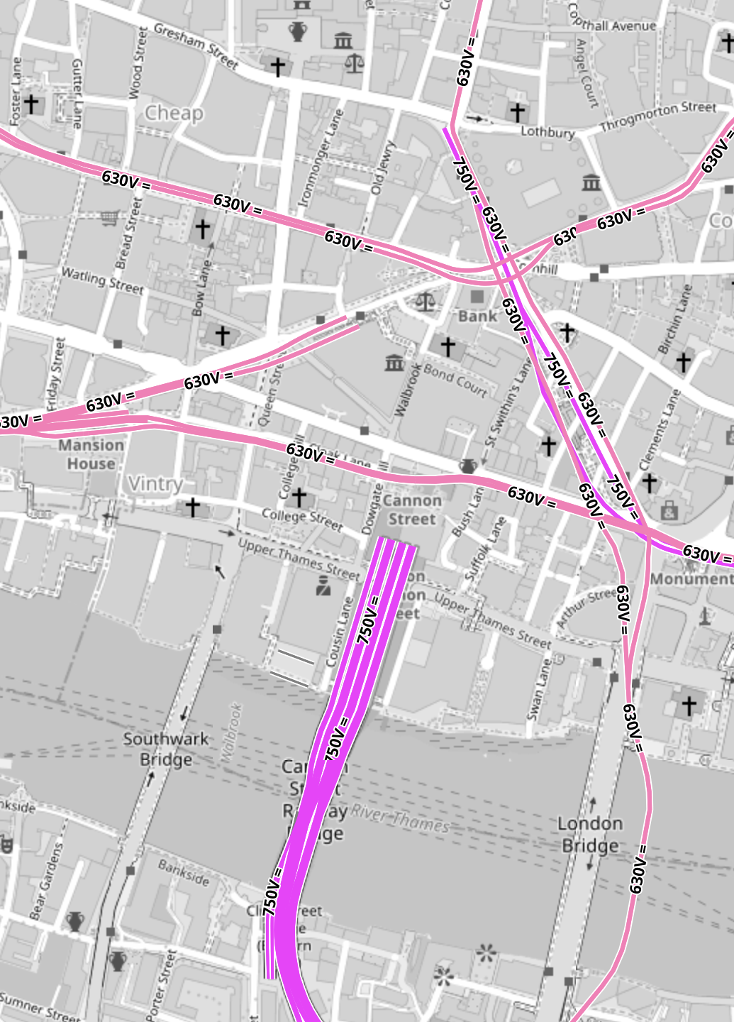
Note.
- All the pink lines are the lines of the London Underground.
- The line running alongside London Bridge is the Northern Line, which is deep under the Thames.
- The mauve lines are those with the slightly higher voltage of the UK National Rail network going into Cannon Street station.
In part of the Bank Station Upgrade, a new Southbound tunnel for the Northern Line was dug, so that the Northern Line platforms at Bank station could be farther apart.
This visualisation shows the station.
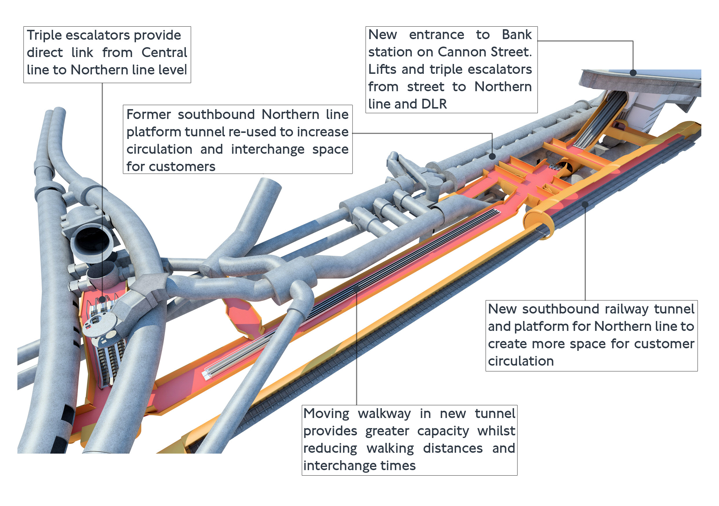
The project was an amazing demonstration of what is possible to be achieved in underground construction.
- There is a moving walkway to move passengers between the Central and Northern Lines.
- There are escalators and lifts everywhere.
It was also dug out from London’s helpful soils under scores of important buildings, many of which are listed.
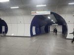
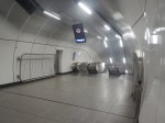
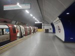
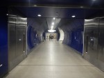
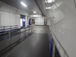
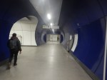
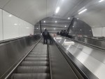
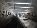
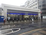
These pictures give a flavour of the underground section of the completed upgrade.
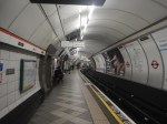
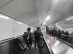
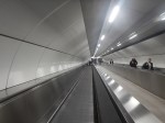





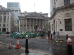
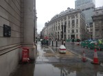
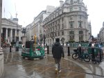
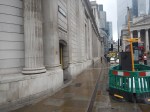
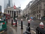
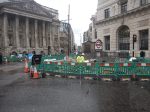
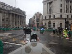
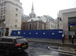
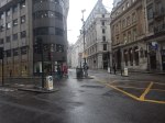
These pictures show the buildings on top of the complex.






Note.
- There is no building of any great height above the station complex.
- There are a lot of quality buildings.
- During all the work underground, I didn’t see any reports of any problems with the buildings on top.
- In How Many Entrances And Exits Does A Station Need?, I counted that the complex now has twenty entries.
It is probably a project that could be repeated elsewhere.
Camden Town, Holborn and Bond Street/Oxford Circus are probably suitable cases for treatment.
Weston Williamson’s Plan For Manchester Piccadilly Station
In The Rival Plans For Piccadilly Station, That Architects Say Will ‘Save Millions’, I wrote about Weston Williamson’s plan for Manchester Piccadilly station.
This was their visualisation.

Note.
- In the visualisation, you are observing the station from the East.
- The existing railway lines into Piccadilly station are shown in red.
- Stockport and Manchester Airport are to the left, which is to the South.
- Note the dreaded Castlefield Corridor in red going off into the distance to Oxford Road and Deansgate stations.
- The new high speed lines are shown in blue.
- To the left they go to Manchester Airport and then on to London, Birmingham and the South, Warrington and Liverpool and Wigan, Preston, Blackpool, Barrow-in-Furness, the North and Scotland.
- To the right, they go to Huddersfield, Bradford, Leeds, Hull and the North East, and Sheffield, Doncaster and the East.
- Between it looks like a low-level High Speed station with at least four tracks and six platforms.
- The Manchester Metrolink is shown in yellow.
The potential for over-site development is immense. If the Station Square Tower was residential, the penthouses would be some of the most desirable places to live in the North.
Londoners Are The Tunnel Kings
Bring On The Robots
Could High Speed Two Have An Underground Station In London?
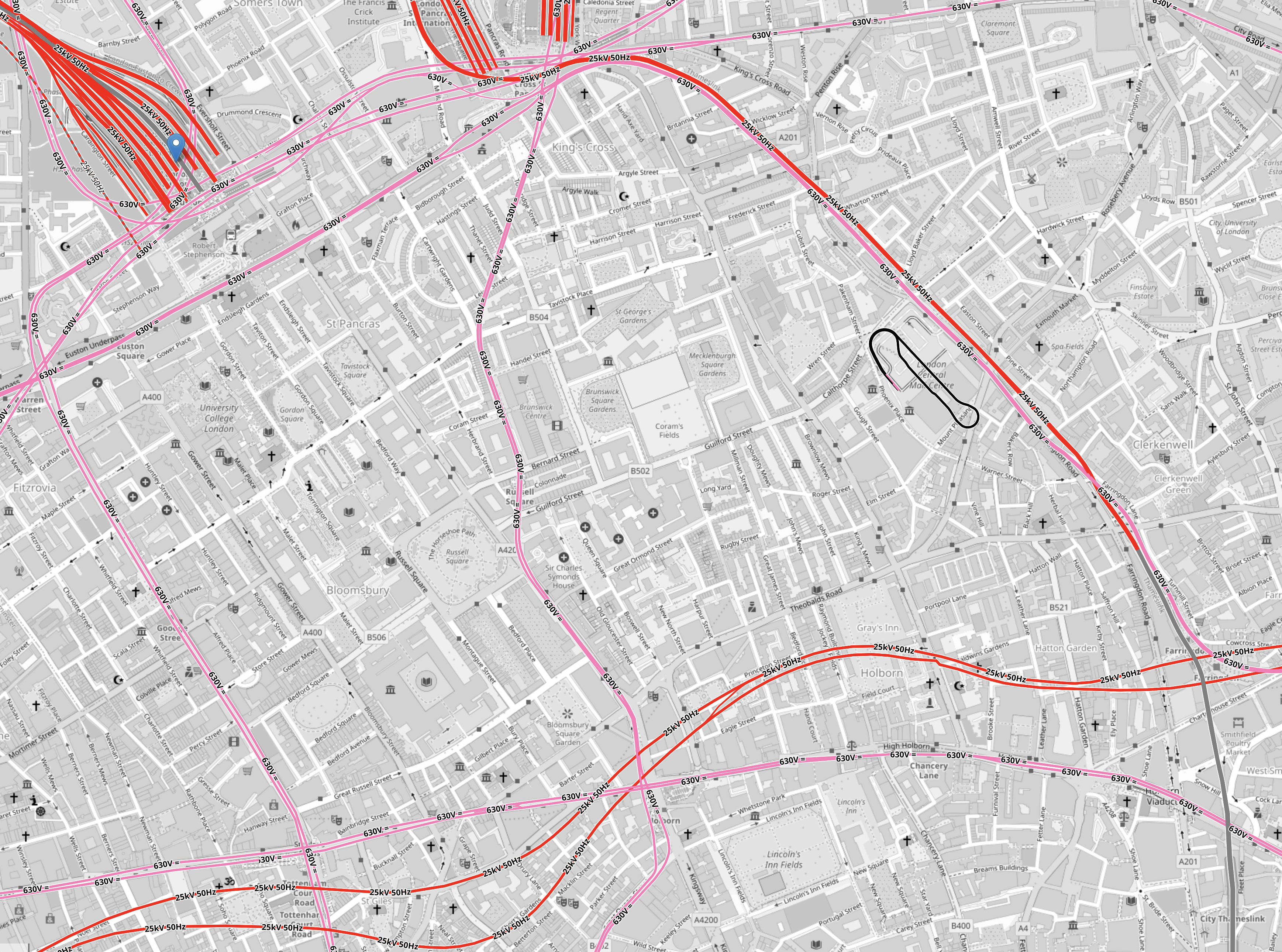
Look at this map from OpenRailwayMap.
Note.
- Euston station is in the North-West corner of the map.
- St. Pancras and King’s Cross stations can just be seen at the top of the map.
- All lines shown in red have 25 KVAC overhead electrification.
- All lines shown in pink are the London Overground.
- The double track electrified railway meandering across the map from West to East is the Elizabeth Line.
- The pink line going down the middle of the map is the Piccadilly Line.
- The pink line going down the left of the map is the Charing Cross branch of the Northern Line.
There is a large square area to the South of Euston that doesn’t have any railways crossing it.
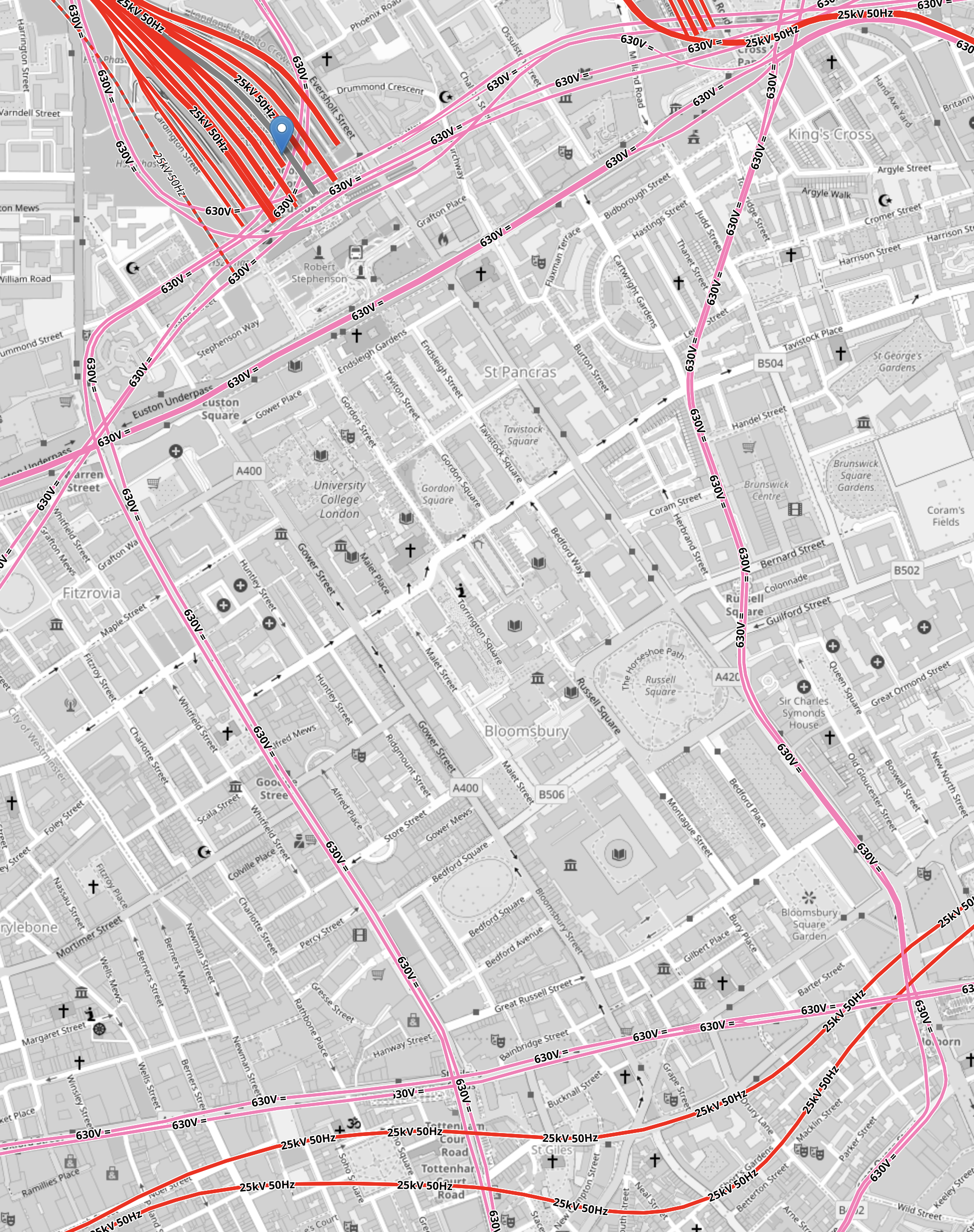
It is shown in this map from OpenRailwayMap.
Note.
- As before, red lines have 25 KVAC overhead electrification and pink lines are the Underground.
- The Western boundary of the area is the Charing Cross branch of the Northern Line, which runs between Euston in the North and Tottenham Court Road in the South.
- The Eastern boundary of the area is the Piccadilly Line, which runs between King’s Cross in the North and Holborn in the South.
- The Northern boundary of the area is the sub-surface Circle, Hammersmith & City and Metropolitan Lines, which runs between Warren Street in the West and King’s Cross in the East.
- The Northern and Victoria Lines also run East-West to the North of the sub-surface lines.
- The Southern boundary of the area is the Central and Elizabeth Lines, which run between Tottenham Court Road in the West and Holborn in the East.
It is a substantial area.
So could it be hollowed out to create a below-ground London terminal for High Speed Two?
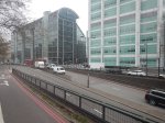
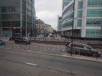
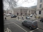
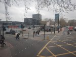
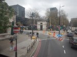
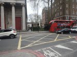
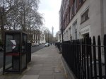
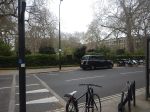
I got a bus from Tottenham Court Road to Euston station and then walked to Holborn, taking these pictures.
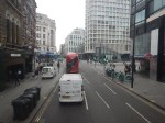
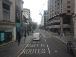
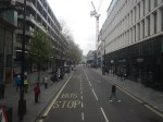
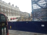
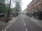
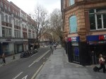
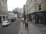
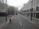
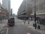
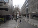
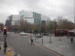
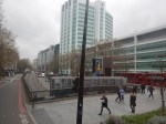


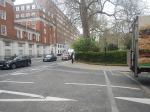
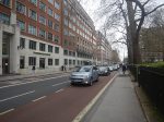
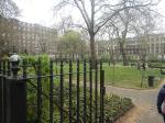
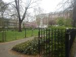
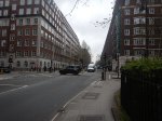
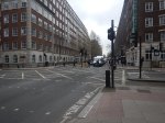

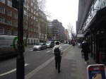
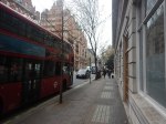
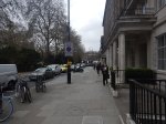
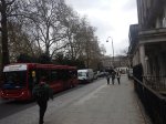
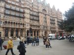
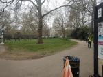
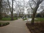
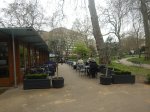
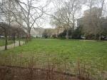
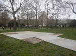
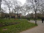
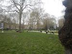
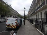
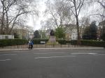
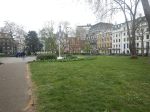
Note.
- There are only two buildings in the area with more than about six floors; University College Hospital and Senate House.
- There a lot of green spaces.
- Bloomsbury Square does have a car park beneath it.
I wonder if a terminal station could be build under the area?
- I suspect if you went fifty metres down there could be plenty of space, that could be excavated.
- Tunnels with moving walkway and escalators could link the station to the Central, Circle, Elizabeth, Hammersmith and City, Metropolitan, Northern and Piccadilly Lines.
- There would be space to have 400 metre long platforms.
- As all trains would be electric, there would be no fume problems.
- There could be lifts and escalators to the green spaces on the top.
I have a feeling that most of people living or working inside the North and South Circular Roads could get to the station by public transport with at most a single change.
Moorgate To Charlton Via Cannon Street
I needed to go to Charlton station this morning to take a couple of photographs for a possible blog post.
- I had had my usual breakfast in LEON on Moorgate, so I started from Moorgate station.
- I took the Northern Line one stop to Bank station.
- It was then straight up the double escalators.
- I followed this by a brisk walk along Cannon Street.
The total time between entering Moorgate station and sitting on my train at Cannon Street station was about ten minutes.
One of London’s more difficult stations to access now has a North-South Underground line, to go with its East-West line.
East London Is A Duckers And Divers Paradise
This is the East End Tube Map, which I clipped off the full tube map.
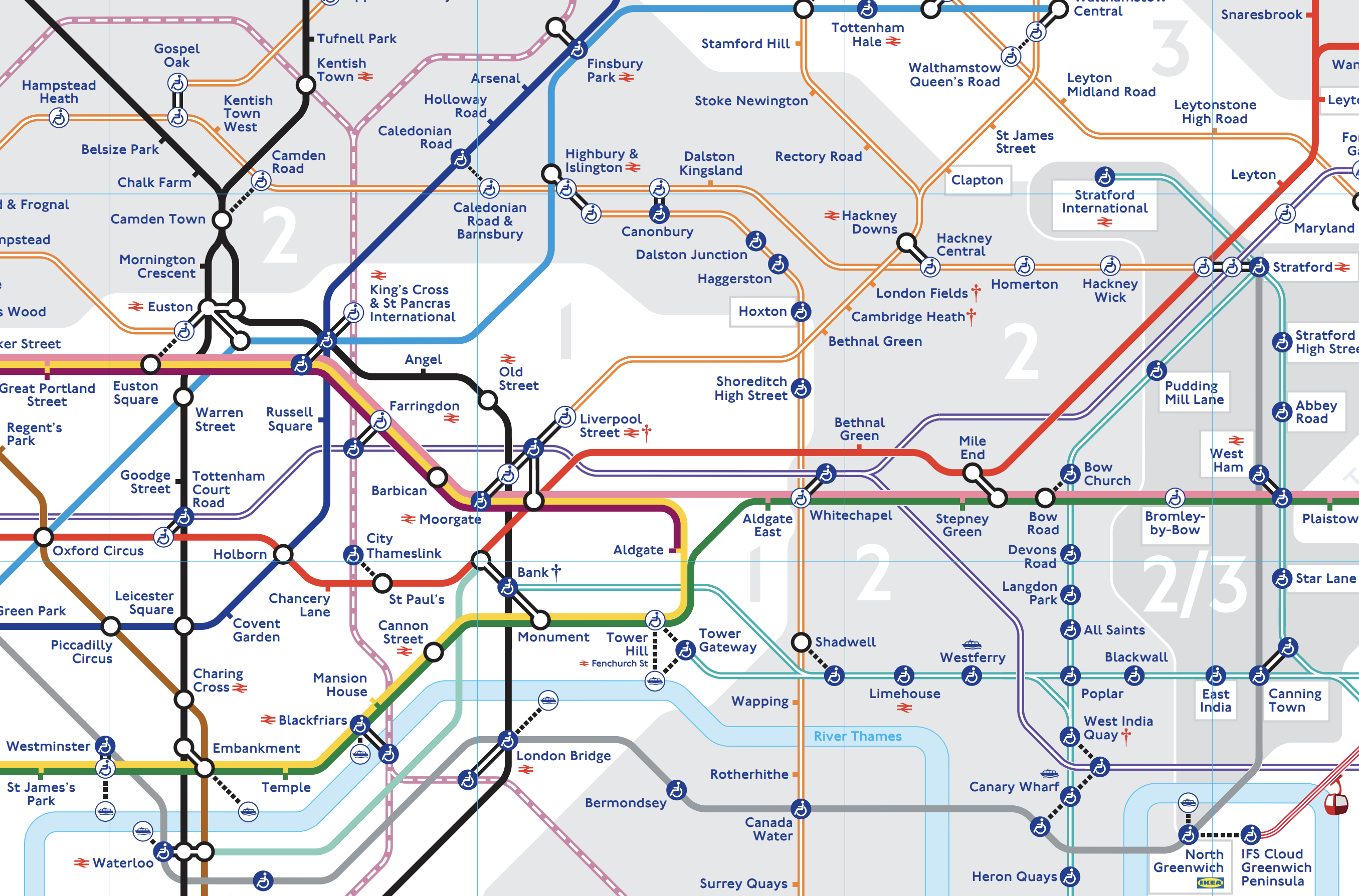
I live just South of the East London Line between Canonbury and Dalston Junction stations.
Today started just after nine, as many others do by braving the nightmare on the buses to take a 141 bus to Moorgate.
- At Moorgate, I had breakfast as I do regularly in the Leon, by Moorgate station.
- After breakfast, it was one stop South on the Northern Line to Bank, to see if the new entrance had opened.
- It was then a trip on the new moving walkway to the Central Line.
- I took the Central Line to Stratford to do my main shopping at the start of the week, in the large Marks and Spencer in Eastfield, by the station entrance.
- It was then on to the North London Line to go back home.
- I didn’t go all the way home on the Overground, but got off the train at Hackney Central and using the new Graham Road entrance, I crossed to get a 38 bus, which would take me home.
- But two 38s passed as I tried to cross the road and in the end I took a 277 bus to Dalston Junction station.
- From the Junction, I got a 56 bus home.
I got home about eleven.
At least now, I’ve got food until Thursday!
Elizabeth Line Bond Street Station And South Molton Street
South Molton Street is one of my favourite streets in London.
- It runs between Bond Street station on Oxford Street in the North and Fenwick’s department store on New Bond Street in the South.
- Many times, I bought my late wife; C’s Christmas or birthday present on that street, on New Bond Street or in Fenwick.
- One of her last purchases had been an Armani suit for work on New Bond Street.
- She also usually bought her shoes in Salvatore Ferragamo at the Southern end of New Bond Street.
- I would usually travel there by taking the Central Line to Bond Street station or the Victoria or Piccadilly Line to Green Park station.
C and I spent many hours happily shopping in that small area of the West End of London.
- We used to shop together for clothes, shoes and many other things.
- One day at a party in her barristers chambers in Cambridge, one of her colleagues expressed surprise that the following day, I was going clothes shopping with her in London.
- C replied to everyone’s amusement, that I was a transvestite-by-proxy. In other words, I am a man, who likes dressing ladies in appropriate clothes.
- I am also lucky, that my mother taught me to sew and in the early years of our marriage, I used to borrow my mother-in-law’s sewing machine and make some of C’s clothes.
- When long coats became fashionable in the 1960s, C had the first of any of her friends. Because I had made it!
So today, I just had to go and see how the new Elizabeth Line Bond Street station fitted in with my favourite shopping street.
I travelled to the new Davies Street entrance of the station.
- I walked through the tunnels to the original Underground station.
- I emerged onto Oxford Street.
- I walked down South Molton Street to Fenwick, with a couple of diversions.
- I then walked through Medici Courtyard to the Hanover Square entrance to Bond Street station.
Finally, I took the Elizabeth Line back to Moorgate for a bus to my house.
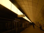
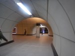
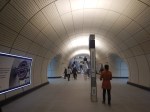
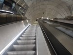
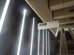
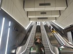
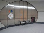
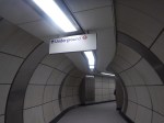
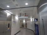
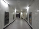
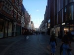
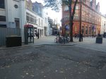
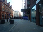
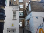

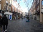
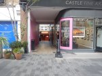
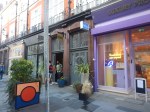
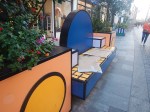
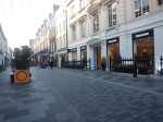
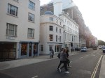
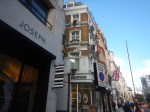
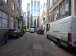
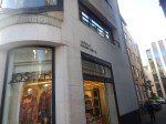
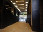
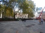
Note.
- There are two banks of escalators to the surface at the Davies Street entrance at Bond Street station.
- The tunnel between the Davies Street entrance at Bond Street station and the original Underground station has a seat at halfway.
- South Molton Street connects to Oxford Street.
- South Molton Passage connects the Davies Street entrance at Bond Street station and South Molton Street.
- C had her unusual wedding dress made in Haunch of Venison Yard.
- The Medici Courtyard sign also says it leads to the Elizabeth Line.
- I couldn’t find a coffee shop selling a cappuccino and a gluten-free cake in Medici Courtyard. That is poor!
One of the station staff at Hanover Square indicated, that there may be additional passages to the West of New Bond Street, that will connect to the Davies Street entrance at Bond Street station.
I feel this could make the area even better.
Knightsbridge Station – 21st October 2022
I last visited Knightsbridge station in April, this year, when I wrote Knightsbridge Station – 25th April 2022.
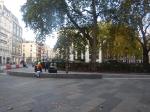
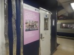
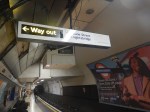
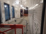
Construction has moved on in the six months since I visited, as these pictures show.

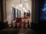
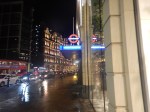
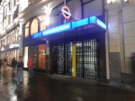
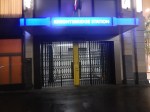

Note.
- After arrival at the station, I left using the exit at Harrods and then walked back along Brompton Road to Harvey Nicholls.
- The entrance for the lift is in an alley. According to this article on Ian Visits, two lifts are needed to get to the platforms.
- The ticket hall is under the Burberry store and has three entrances with steps.
- One unusual feature of the ticket hall, is that it has a micro-Starbucks. Is this idea going to be repeated?
In Ian’s article, he describes the step-free entrance like this.
By reusing some old tunnels, and a side alley around the corner, they will be making the station step-free for the first time. The station used to have lifts from the street down to a corridor that then linked to the platforms via a short set of stairs, but was taken out of use in the 1930s when escalators were added.
What’s being done is that a new entrance, with ticket barriers, has been created in Hooper’s Court, and there will be two lifts that will take people down to just above platform level where the old corridors are still available. There will then be a second small lift to link the corridor down to the platform level.
It looks like it was rather a tight squeeze to get everything in. But then in Knightsbridge, the space for a single toilet will cost at least a couple of millions.
Florescent Lights On The Circle Line
These pictures show a selection of florescent lights on the Circle Line.
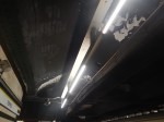
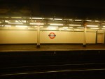
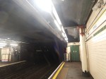
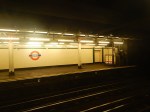
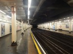
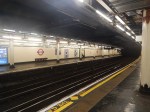
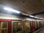
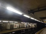
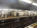
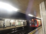
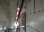
The pictures were taken at Monument and Temple stations.
In Seeing London Underground’s Bakerloo Line Trains In A New Light, I talked about fitting LED lighting on Bakerloo Line trains.
As LED replacements for florescent tubes seem to exist, are these tubes up for replacement?
Seeing London Underground’s Bakerloo Line Trains In A New Light
The title of this post, is the same as that of this article on Railway Gazette.
This is the first paragraph.
A 50% energy saving and a substantial reduction in maintenance costs is being achieved by replacing fluorescent tubes on London Underground’s Bakerloo Line trains with custom designed LED lights from MARL International.
From the pictures in the article, they look to be a good design.
I took these pictures of a train with the new lighting on the 6th of November.
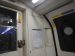
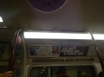
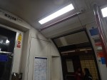
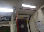
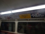
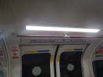
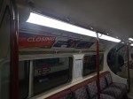
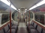
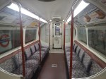
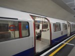
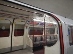
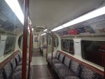
These pictures show a train with the old lighting.
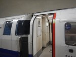
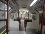
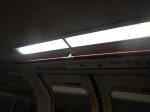
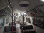
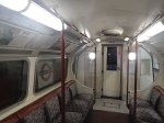
Note.
- The old lighting has round lights at the end of the cars.
- The hole for the round lights has been covered by a blanking plate. See the first picture of the new lights.
- Some of the old fluorescents have died.
- Four passengers, that I spoke to, thought the cars were brighter.
The shots through the empty cars were all taken in Elephant & Castle station, so they show a comparison between new and old lighting.
I also spoke to a driver, who said the headlights on the trains will be replaced. He’d driven the train with the prototype installation and said it was much better.

