Is This The Shape Of Freight To Come?
This article on Rail Advent is entitled Eversholt Rail Unveils First Swift Express Freight Train In Doncaster.
It is a full report on the first of a new breed of freight trains based on redundant 100 mph electric multiple units.
Three Rail Problems
The rail industry, its financiers and customers have a lot of problems, they’d like to solve, but these three seem to be coming together to create a whole new industry.
Rolling Stock Leasing Companies Have A Surplus Of Redundant Rolling Stock
Most of the released rolling stock has been made redundant because of the arrival of new trains.
- Some trains and locomotives, like Greater Anglia’s Class 379 trains and Class 90 locomotives will probably be passed on to other operators.
- Some trains like Greater Anglia’s Class 315 trains and Govia Thameslink Railway‘s Class 313 trains and Merseyrail‘s Class 507 trains and Class 508 trains will probably only be fit for scrapping.
- Climate change ambitions will probably finish off anything which is elderly and diesel-powered.
What will be left will be a an assortment, which will contain a lot of trains with these characteristics.
- Four cars
- Can run in formations of 4, 8 and 12 cars
- Electrically-powered.
- Some trains are even dual voltage.
- 100 mph operating speed.
- Good reliability.
- Easy maintenance and modification if needed.
Many were even built over thirty years ago by British Rail Engineering Ltd.
As someone, who used to part-own a company that leased trucks to operators, I know that to maximise cash-flow and ultimately profits, you don’t want them sitting in a yard or a siding.
Conversion to zero carbon is one option.
- Porterbrook have said they will convert the Class 350 trains, that they own to battery-electric operation.
- Porterbrook have also converted some Class 319 trains to electro-diesel Class 769 trains.
- Porterbrook have also converted a Class 319 train to hydrogen operation.
- Eversholt Rail Group and Alstom are converting Class 321 trains to hydrogen operation.
I also believe that the redundant Class 379 trains will also be converted to battery-electric operation.
But there will still be a substantial number of quality trains, that need a second life.
The Growth Of Parcel Freight
Parcel freight traffic driven by on-line shopping, has boomed in the pandemic.
This type of traffic often originates from outside of the UK and enters the country at places like London Gateway or East Midlands Airport.
Much of it is currently distributed to large cities by truck, which in this day and age is not a green option, or even an option at all.
Rail Operations Group have leased ten Class 769 trains and 9 Class 319 trains with the intention of running parcel services under the Orion brand. I wrote about this proposal in A Freight Shuttle For Liverpool Street Station Planned.
Road Congestion
Road congestion is getting worse and there is bir much point in having product stuck on the motorway, when it can be running along at a 100 mph on an electrified rail line.
The Need For Just-In-Time Deliveries
Many factories these days work on the Just-In-Time principle, with product delivered just as its needed.
As an example Toyota build their cars at Burnaston near Derby, but the engines are built in North Wales. I suspect that they go across the country by truck.
Looking at maps, the engine plant could be rail connected and I feel one could be arranged at Burnaston.
Do they keep a good stock of engines at Burnaston?
I can see several situations like this needing a regular company train.
Fast Food
Because of Brexit we will need to be growing more of our own food.
Traditionally, the Class 43 power cars of InterCity 125 trains carried flowers and fish up from Cornwall.
So will we see rail provide an alternative.
Conclusion
Put these problems together and you can see a fair number of four-car electric multiple units being converted to short 100 mph electric freight trains.
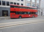
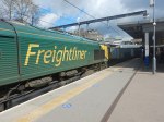
Eversholt Rail Group‘s Swift Express Freight Train is very much a demonstrator for their ideas and it has some expected and unexpected features.
Based On A Class 321 train
The train is based on a four-car Class 321 train.

I rode one recently and I timed it at over 90 mph on the way to Southend.
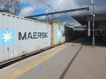
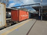
Trolley Cages
Pictures in the Rail Advent article show a stripped-bare interior with a steel floor, with another picture showing three supermarket trolley cages arranged across the train.
One estimate in the article says that each coach can handle over fifty of these cages and up to nine-and-a-half tonnes of cargo.
Four Seats And A Toilet
Eversholt feel that some of the trains could be used in a Travelling Post Office mode and there may be a need for sorting en route, so two first-class seats, two second-class seats and a toilet are provided.
This train would enable an Anglo-Scottish parcel service.
- It might stop several times en route.
- At each stop parcels would be rolled out and in, perhaps with the help of a Harrington Hump.
- The on-train staff would sort the incoming parcels and put them in the required trolley for offloading.
I don’t think though, they’ll be delivering postal orders.
A Last Mile Capability
The article also disclosed that Eversholt were thinking of fitting a Last-Mile capability to the Swift Express Freight Train.
Batteries were mentioned and they would obviously work.
But one development recently is Porterbrook’s HydroFlex train, which has converted a Class 319 train to hydrogen power.
- The conversion was done by Birmingham University.
- It appears that all the hydrogen gubbins is underneath the floor, so cargo capacity would not be reduced.
I suspect underfloor hydrogen power could be very viable in an express freight train.
Fleet Size
The article talks of a fleet size of twenty and also says that the first train has been leased to an unnamed parcel distributor in the UK.
Wrightbus Presents Their First Battery-Electric Bus
The title of this post, is the same as that of this article on Electrive.
This is the first paragraph.
The Northern Irish bus manufacturer Wrightbus presents its first battery-electric vehicle in its portfolio: a double-decker bus called StreetDeck Electroliner. Until now, the Northern Irish manufacturer has been known primarily for its hydrogen-powered buses.
In My First Ride In A Hydrogen-Powered Double-Deck Bus, I rode in a Wrightbus StreetDeck Hydroliner FCEV, so these pictures of that bus, will at least show the external style of the StreetDeck Electroliner BEV.


These two links show the web page for each product on the Wrightbus web site.
Electric – Wrightbus StreetDeck Electroliner BEV
Hydrogen – Wrightbus StreetDeck Hydroliner FCEV
Wrightbus on their web page announce the Electroliner with a headline of The Electric Bus Perfected.
This is the first paragraph of the web page.
Meet the electric bus from the future of environmentally friendly transport. Our StreetDeck Electroliner is built with features to inspire the next wave of electric transport including best in class range to cover most duty cycles, modern passenger-focused amenities, best in class charge time, and many more. Making every kilometer a new sustainability milestone.
These are some features of the bus, gleaned from Wrightbus web page and the electrive article.
Battery Power
The Wrightbus web page says this about the batteries.
StreetDeck Electroliner’s maximum power from a 454kW zero-emission battery electric powertrain is the highest battery capacity for a UK Double Deck bus. It powers it to a leading range of up to 200 miles and a fast charge time of just 2.5 hours ensures longer journeys with fewer refueling breaks. Our commitment to greener transport is also strengthened with an optional 8-year battery warranty.
Note.
- On the Wrightbus web page, a cutaway drawing appears to show batteries everywhere.
- Reading the Wrightbus web page, the specification says that there are two battery sizes available; 340 kWh and 454 kWh.
They certainly seem to have all angles covered with batteries.
According to the electrive article, the StreetDeck Electroliner uses slim batteries from French company; Forsee Power.
On their web site, there is a paragraph, which is entitled Wrightbus Will Integrate ZEN SLIM Batteries, where this is said.
As part of its exclusive supplier partnership with Wrightbus, Forsee Power will supply Wrightbus with the new ZEN SLIM batteries, whose extra flat format allows easy integration into the chassis of vehicles (standard or double-decker buses).
Each bus will be equipped with three battery systems up to 340 kWh and an extension including a fourth system will also be possible, providing exceptional capacity of 432 kWh and a battery range of more than 350 kilometers.
The figure of 432 kWh does not fit with the Wrightbus specification and is not 340*4/3, so I suspect the Forsee web site is a couple of figures out of date.
The Forsee brochure for the ZEN SLIM batteries gives an energy density of 166 Wh per Kg. This means that the weight of the 454 kWh battery is around 3.7 tonnes.
I do like the modularity of the batteries, as it means must mean greater flexibility for bus operators, especially in a large city, where there is a varied mix of routes.
Intriguingly the batteries appear to be water cooled. Is the heat generated by the batteries, used to warm the bus in winter? Now that would be kool!
Battery Charging
In the specification on the Wrightbus web site, under a heading of EV Charging, this is said.
CCS2.0 Compliant Combo2 Socket
150kW or 300kW fast charge
And under a heading of EV Charge Time, this is said.
340kWh – 2 ½ hours @ 150kW
454kWh – 3 hours @ 150Kw
Up to 420kW Opportunity Charging / Pantograph Charging
I find the pantograph charging interesting.
I have been following a battery train charging device called a Railbaar since 2016, when I wrote How To Charge A Battery Train.
The device is now available for buses as a Busbaar and this page on the opbrid web site talks about opportunity charging for buses.
Opportunity Charging would entail charging the buses at suitable points along the route, using an overhead charging point and a speciality designed pantograph on the roof of the bus.
Wrightbus claims a charging rate of 420 kW for their system. With a claimed range of 200 miles, these buses should be able to handle at least 90 % of the bus routes in the UK.
Note that Opbrid are part of Furrer + Frey, the Swiss supplier of railway overhead electrification, who have a quality pedigree and are Network Rail’s supplier of choice for overhead electrification.
Co-location Of Bus And Railway Stations
Bus stations with charging for battery buses and electrified railway lines will both need a high grade connection to the electricity grid.
As an Electrical Engineer, I think it would be prudent to co-locate bus and railway stations so that all heavy users and the parked electric vehicles nearby could share the grid connection.
Both The Hydroliner And The Electroliner Appear To Share A Chassis
Looking at the cutaways on the two web pages for the buses, the chassis of both buses appear to be very similar.
The cutaway for the Electroliner shows some of the batteries low down between the wheels with more stacked up at the back of bus.
On the Hydroliner much of the equipment seems to be stacked up at the back of the bus.
The similar chassis and body designs must surely help production and allow a lot of components to be shared between the two buses.
Drive System
This article on electrive is entitled Voith To Deliver Electric Drives For Wrightbus and this is the first paragraph.
Northern Irish bus manufacturer Wrightbus has selected Voith as its exclusive partner to supply the electric drive system for the second generation of its battery-electric and fuel cell buses for Europe.
The second paragraph, says that Wrightbus has an order for eighty Electroliners for Translink in Northern Ireland to be delivered after August 2021.
This electrive article also described Voith’s electric drive system (VEDS).
The German supplier says it has developed the VDES specifically for the requirements of public transport. The 340 kW electric motor is said to be able to drive even double-decker buses, heavy articulated buses and trucks over long distances. The system also includes a water-cooled converter system, a drive management unit (called DMU), further converters for auxiliary units and the on-board charging management system including the cabling. Voith expects this to result in the highest possible efficiency, as all components are coordinated with each other.
Note the water-cooled converter system.
Running Gear
No vehicle is complete without a good set of wheels and suspension. The first electrive article says this.
Other features of the StreetDeck Electroliner, Wrightbus says, include a ZF rear axle system (AV133) and an independent front suspension system (RL 82 EC), also from ZF.
Few would question the choice of ZF as a supplier.
Conclusion
It looks to me, that Wrightbus have designed two buses, from the best components they can find and fitted them into their own purpose-built chassis and bodywork.
It’s almost as how the great Colin Chapman of Lotus fame would have designed a bus.
I
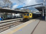
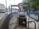
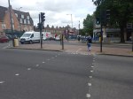
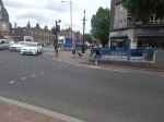
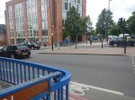
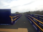
Is Caledonian Road And Barnsbury An Ideal Four-Track Station?
This Google Map shows Caledonian Road And Barnsbury station.
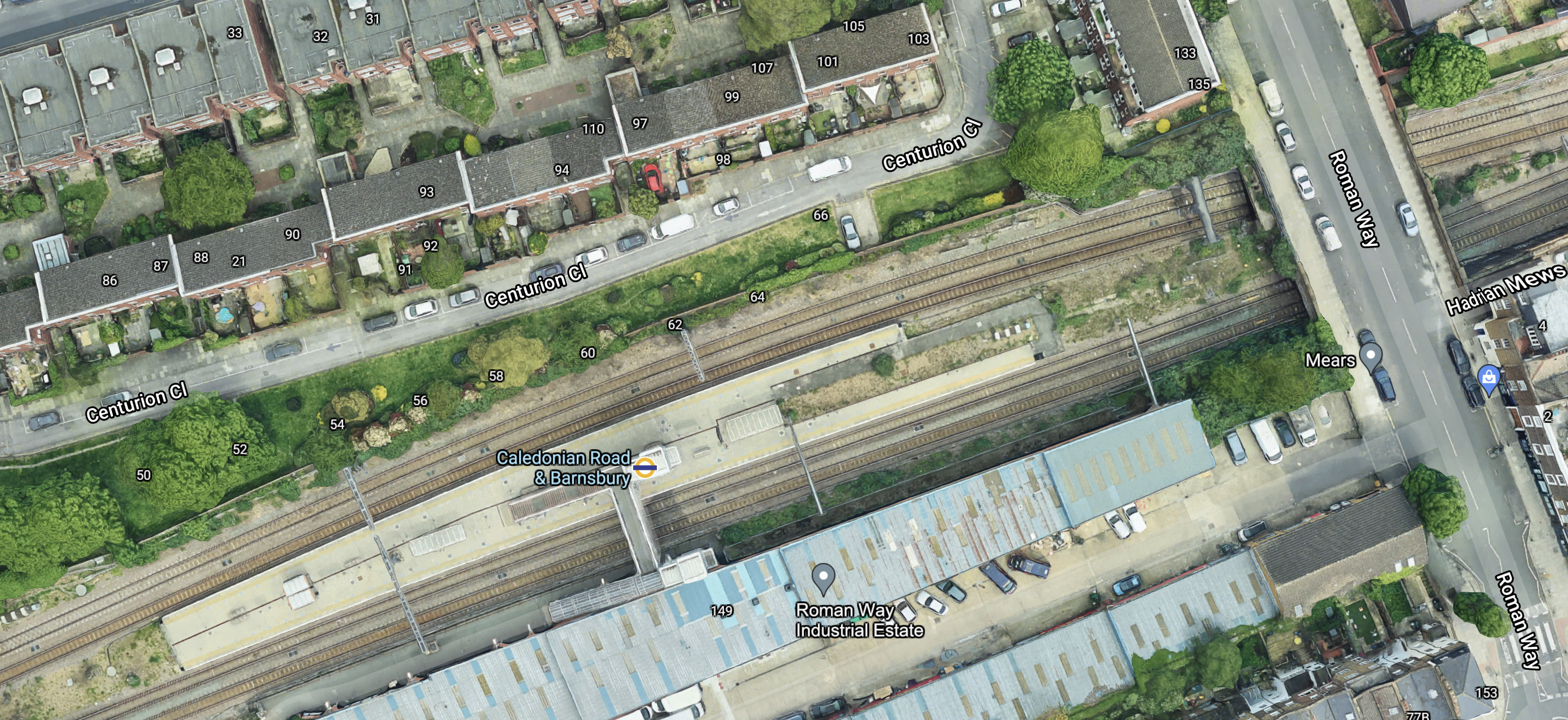
Note the island platform, with two tracks on either side.
These four pictures show each pair of tracks in both directions.
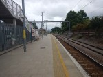


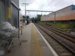
And these pictures show general views of the station.
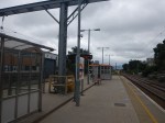


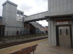
I don’t know the layout of every station, but Caledonian Road And Barnsbury seems to be unusual.
- There is a spacious island platform in the middle of the four tracks.
- On either side of the island platform, there are the two lines for local passenger trains.
- Outside of the two local passenger lines, there are two lines for freight trains.
- Access to the island platform is via a simple half-bridge with only two lifts.
- Everybody enters the station from one side.
Does this layout have advantages?
Ease Of Construction
I think that this station was designed, so that it was quick and easy to build.
Once the tracks are aligned correctly, it shouldn’t be too complicated to build.
The bridge only has to span two tracks, so that must be half the work of crossing four tracks.
Passenger Safety
I have used real time trains to check the platform of freight trains passing through Caledonian Road And Barnsbury station.
It seems that only rarely do trains use the tracks in the two platforms.
This must surely be safer, when compared with the standard arrangement.
These pictures were taken at Highbury & Islington station.
The wide platform, also allows passengers to keep well out of the way of any trains that do pass through.
Would The Layout Work With High Speed Trains?
I don’t see why not!
The space between the outside lines and the platform, almost acts like a moat in a zoo, that keeps visitors away from dangerous animals.
Costs
It was probably not an expensive station to build.
Conclusion
Why are other four-track stations not built like this?
The main reason is probably, that most four-track main lines were laid out decades or even centuries ago and their builders used their own layouts.
Thoughts On Step-Free Access At Manor House Station
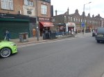
I use Manor House station regularly, as I have a bus-stop by my house, that is perhaps fifty metres from my front door, that connects to the station.
- There is also a zebra crossing to get to the other side of the road.
- The 141 bus actually connects me to Manor House, Turnpike Lane and Wood Green stations on the Piccadilly Line.
- This is because it was a replacement for the 641 trolley-bus route that used to run between Winchmore Hill and Moorgate via. Milmay Park.
- I also use the station as a convenient station to go West on the Piccadilly Line.
- As it connects step-free at Finsbury Park station to the Victoria Line, it certainly has its uses.
Click this link to see an excellent photo of a 641 trolley-bus at Manor House station.
The pub in the photo was the Manor House, where I saw such performers as John Mayall and Eric Clapton amongst others.
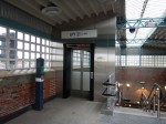
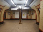
I took these pictures today

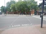
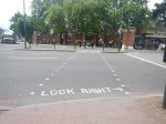
The station has an unusual layout.
-
-
- Two major roads; the Seven Sisters Road (A503) and Green Lanes (A 105) cross at the station.
- The four major roads are all controlled by traffic lights, which also allow pedestrians to cross the major roads safely on the surface.
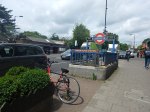
- There are a couple of staircases at each corner of the junction and these lead down to a maze of passages that connect these entrances to the escalators that lead up and down to the platforms.
- The former Manor House pub and a new Travel Lodge sit opposite each other on the junction.
- The Travel Lodge sits on the South-West corner.
- The North-West corner leads directly into Finsbury Park., which is not a bad place to go for a walk or a jog.
-
The below ground subways in the station are all level.
The staircases between subway and street level are very reminiscent of those at Piccadilly Circus or Leicester Square stations.
The staircases also have some excellent period details.
But then they tend to do things as they should in my part of North London.
This picture was taken after a World Cup Third!
What will happen, if England win the Euros?
Manor House station’s design can best be summed up as two level areas connected by a series of staircases.
- Central London stations with this layout include Bank, Cockfosters, Kings Cross St. Pancras,Leicester Square, Manor House, Piccadilly Circus. Tottenham Court Road and Victoria.
- At least Cockfosters, Kings Cross St. Pancras, Tottenham Court Road and Victoria have lifts between the two levels.
- Bank station will have more lifts than Oti Mabusi in a dance routine, after the rebuild.
- Old Street was similar, but Transport for London (TfL) are rebuilding the station.
Cockfosters has level access at both the surface and the platform level and they have sneaked in a lift in a corner of the station.

Grandparents in a wheel-chair or Louis or Lilibet in a pushchair can easily be taken easily between train and the car-park.I am certain, that if there are a number of lifts at the four corners of the road junction at Manor House, then access both to the station and across the junction will be substantially eased.
That just leaves us with the problem of getting between subway and platform levels.
This map from cartometro.com shows the platform layout.

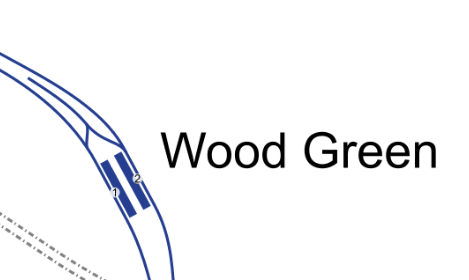
Note that as at Turnpike Lane station in this platform layout, there is also a generous space between the platforms.
The two escalators and a set of stairs face North.
Wood Green station is a bit different, as it has a turnback siding
The two escalators and a set of stairs also face South.
When I used to use the Piccadilly Line in the 1960s, it tended to be pain, if a Wood Green train turned up, when you wanted to go to Oakwood or Cockfosters.
Bounds Green station is shown in this map.
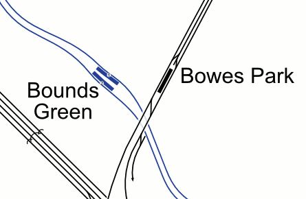
Again the tracks appear to have been curved to allow generous space.
The two escalators and a set of stairs face North.
Arnos Grove station is a station with sidings and four platforms on the surface.
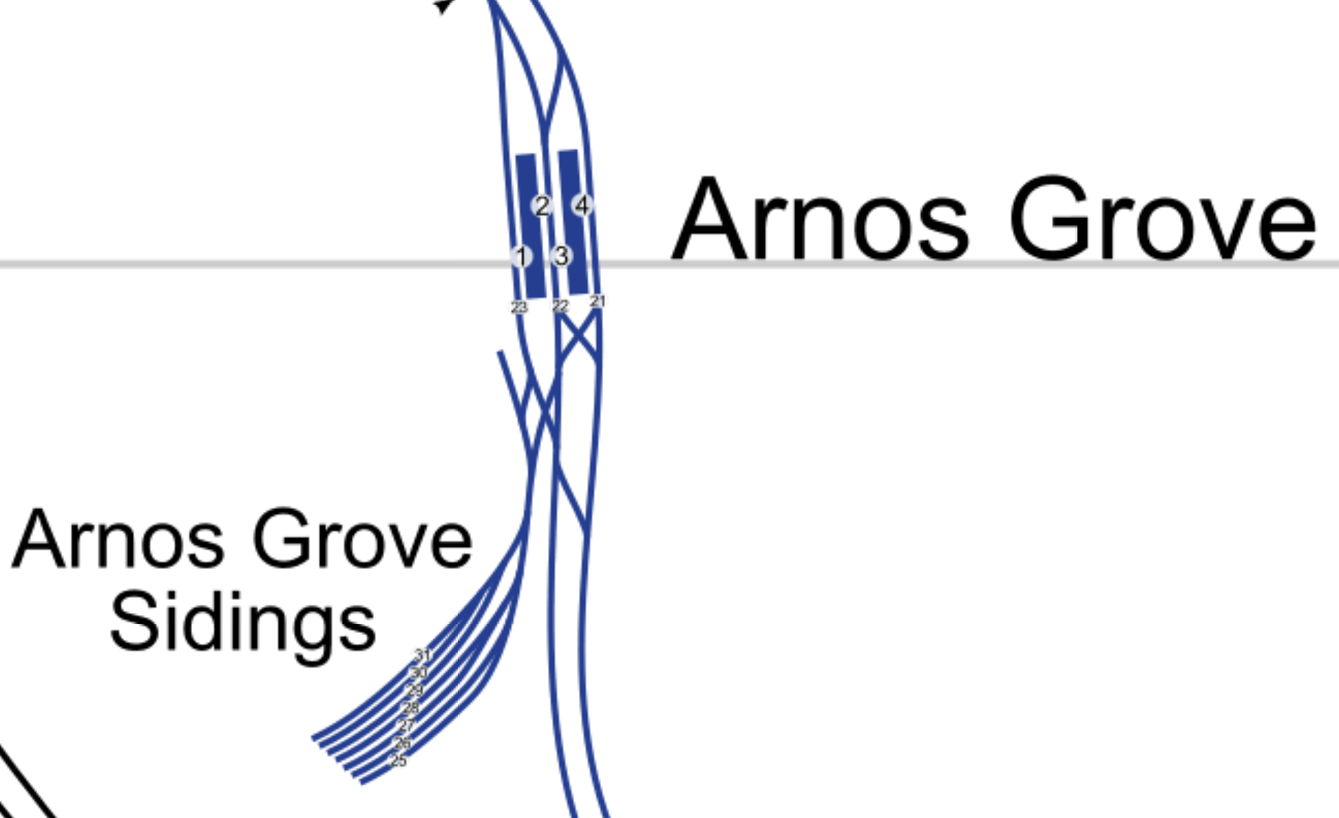
The car parks are likely to be developed for housing, so there will be major changes at the station.
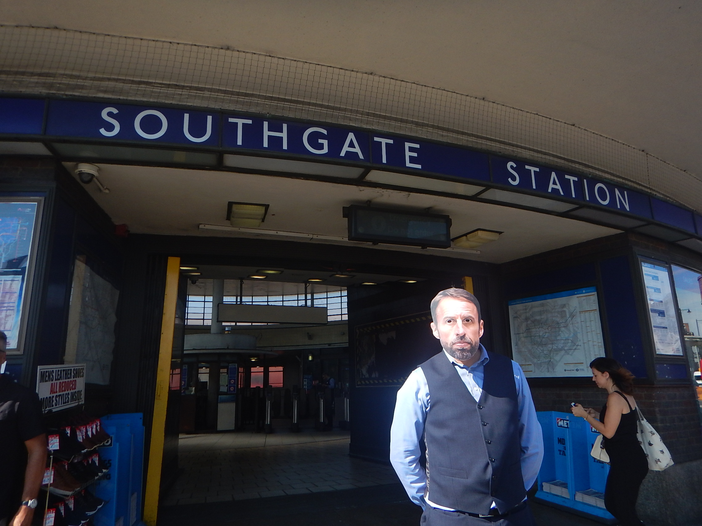
Southgate station is the last station, that doesn’t have step-free access.
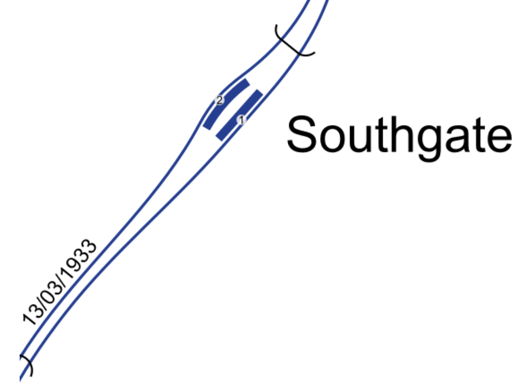
But again there is some space between the tracks.
The two escalators and a set of stairs face North.
So did the designers of the Northern Extension of the Piccadilly Line leave space to put in more equipment or even lifts?
After all they didn’t stint themselves on the design of the stations.
Designing Step-Free Access
This is not easy and various considerations must be taken into account.
Revenue Protection
At Cockfosters station, the new lift goes between two areas that are outside the ticket barriers.
If as I have proposed at Manor House station, where there would be lifts between the surface and the subway level, both areas are outside the ticket barriers.
At Tottenham Hale station, there several lifts all of which are inside the ticket barrier.
Staff At The Barrier
Nearly all ticket barriers in London are watched by staff to sort out problems like passengers, who don’t know how to use the system.
Costs
It is unlikely, that large sums of money will be available to add step-free access to all stations on the Underground.
I also think, that step-free access at stations will be funded by developments close to stations.
A London-Wide Solution
It is for these and other reasons, that I think London needs to look in detail at all stations and see if a series of solutions can be developed for all stations.
In this section of the Piccadilly Line, there are five stations with three escalators or two escalators and a staircase.
But there are others on the other deep tube lines.
So should a standard solution be developed for all stations like this? And for all groups of similar stations.
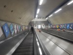
Could An Inclined Lift Be Used At This Group Of Stations?
This picture shows the first inclined lift, I ever saw, which was on the Stockholm Metro.
Looking at the picture shows it was installed on a very long set of escalators.
At present, there is only one inclined lift on the London Underground and that one is at Greenford station.

It is a very neat and compact installation, that incorporates a double-staircase, an up escalator and an inclined lift in a confined space.
I think we’ll see similar solutions to Greenford employed in some stations on the Underground. In Is This A Simple And Affordable Solution To Providing Step-Free Access At Essex Road Station?, I outline how an inclined lift could be used at Essex Road station.
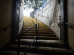
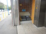
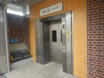
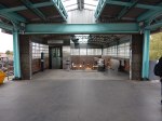
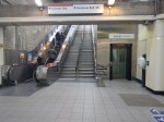
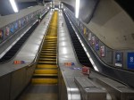
These pictures show the three escalators at Manor House station.
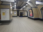
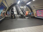
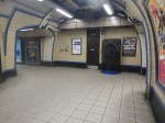
Note.
- The middle escalator was switched off.
- There is a spacious lobby at the bottom of the escalators.
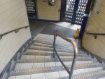
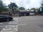
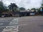
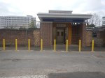
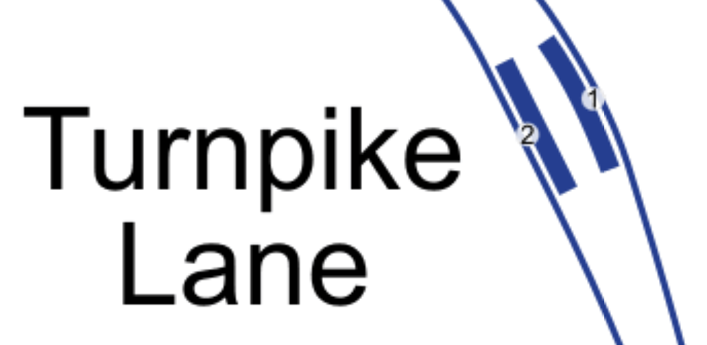
The other four below-ground stations North of Finsbury Park; Turnpike Lane, Wood Green, Bounds Green and Southgate all have two escalators and a central staircase
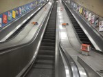
These pictures show Bounds Green station.
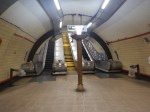
Note that the stairs are in the middle.
It looks to me, that all five escalator systems to the North of Finsbury Park are more or less identical.
- Only Manor House has a third escalator.
- There is a large lobby at the bottom.
- All stairs are in the middle escalator slot.
- Are the stairs designed to be replaced with a third escalator?
So would it be possible to design an inclined escalator solution for all stations, that fitted all of the stations?
I think it might be very much a possibility.
- The central staircase would be replaced by a third escalator.
- One of the outside escalators would be replaced with an inclined lift.
Note
- Many of these escalators were probably installed in the early 1990s, a few years after the Kings Cross Fire.
- Escalators are replaced regularly every ten or twenty years.
So could the installation of the inclined lifts, be worked into the schedule of escalator maintenance and replacement?
I believe with good project management it could be arranged.
- At no time during the works would any station have less than two escalators.
- If there were to be an escalator failure, all of the stations are connected by frequent buses and some are even within walking distance.
The works could also be arranged to fit in with available cash-flow.
I believe that eventually all these stations will need to be provided with full step-free access.
Conclusion
I believe that a sensible program of works can be developed to make all deep-level stations North of Finsbury Park step-free on the Piccadilly Line.
- The deep-level platforms would be served by two escalators and an inclined lift.
- The works would be performed alongside the regular maintenance and replacement of the current escalators.
- There would be no substantial tunneling.
- The works could also be arranged to fit in with available cash-flow.
The technique would be applicable to other stations on the Underground network.
Turnpike Lane Station
In Is Turnpike Lane Tube Station Going Step-Free?, I tried to explain the puzzling works going on at Turnpike Lane station.
Could those works be digging a lift-shaft or something in a more engineering line, like installing more ventilation or new power cables?
There’s certainly no clues on the Internet.
This table shows step-free status and 2019 passenger numbers at the Piccadilly Line stations to the North of Kings Cross St. Pancras station.
- Cockfosters – Step-Free – 1.86 million
- Oakwood – Step-free – 2.78 million
- Southgate – 5.43 million
- Arnos Grove – 4.44 million
- Bounds Green – 5.99 million
- Wood Green – 12.13 million
- Turnpike Lane – 10.6 million
- Manor House – 8.55 million
- Finsbury Park – Step-free – 33.40 million
- Arsenal – 2.77 million
- Holloway Road – 6.69 million
- Caledonian Road – Step-free – 5.60 million
- Kings Cross St. Pancras – Step-free – 88.27 million
Note.
- The high passenger numbers at Finsbury Park and Kings Cross St. Pancras, where there is interchange with lots of other services.
- The long gap of step-free access between Oakwood and Finsbury Park.
- Arnos Grove could be an easier station to make step-free.
I just wonder, if a lift at Turnpike Lane station could be the interim solution, until inclined lifts are installed in the distant future.
Cargo Sous Terrain
This is a Swiss idea to move small parcels around the country.
This is the project’s web site.
There will be a network of tunnels under Switzerland serving all the major centres.
This article on LeNews is entitled Switzerland’s Underground Tunnel Project Gets Green Light From Upper House, describes the project.
This is the first paragraph.
On 1 June 2021, a project to build an underground freight tunnel network stretching from Geneva to St Gallen, gained almost unanimous support in the Council of States, Switzerland upper house.
These are a few points from the article.
- It appears to be privately funded.
- There will be a three-lane tunnel network across the country.
- It will use driverless electric vehicles.
- Speed will be 30 kph.
- It will run twenty-four hours per day.
- There will be a track in the roof of the tunnel for smaller parcels.
- There will be a total of 500 km of tunnels.
- Completion date is set for 2045.
- It will cost around £24 billion.
It’s as though all of Switzerland were to be turned into a giant Amazon or Ocado warehouse.
Will It Work?
I don’t see why not, although it would be an immense project!
This paragraph indicates they will start small.
The first 70 km section of the tunnel network, which will connect a hub in Härkingen-Niederbipp with Zurich, is scheduled for completion in 2031.
But even that will cost around £2.5 billion!
It certainly, is a bold idea, that has possibilities.
UK Air Taxi Start-Up Finds Early Buyers For 1,000 Vehicles
The title of this post, is the same as that of this article on the Financial Times.
The article is well worth a read and describes the progress of Vertical Aerospace, which was started by Ovo Energy founder; Stephen Fitzpatrick.
The Vertical Aerospace web site is worth a visit.
Details given of their VA-X4 plane include.
- Range – 100+ miles
- Speed – 202 miles
- Capacity – 5
- Carbon Emissions – Zero
- Certification – EASA/CAA
- Noise – 100 times quieter than a helicopter.
There is a lot to like!
What is certain in my mind, is that there is a market for a short range zero-carbon aircraft of some sort.
Judging by the number of aircraft being proposed for this market, I come to two conclusions.
- The market isn’t mythical.
- Someone will make a success of it.
I also wouldn’t be surprised, if the most successful design has rather a weird look about it.
But despite saying that, two of the frontrunners; the Cessna Electric Caravan and the electric version of the Britten-Norman Islander are both conversions of existing successful aircraft.
I believe, that I’m young enough to fly in an electric aircraft.
Thoughts On Seating In East Coast Trains’ New Class 803 trains
This page on RailAdvent contains this YouTube video of one of East Coast Trains’ New Class 803 trains under test.
On this page on the First Group web site, they give some details of the service.
- Five trains per day, seven days per week in both directions.
- One class of travel
- Offer tickets at an average price of less than £25.
- At seat catering on every train.
- Introduce an additional 1.5 million seats on the route every year.
They also expect 80 % of passengers to be new to rail.
The internet doesn’t give the number of seats on the train, so I will estimate a number.
The number of trains per year will be at least 365 * 2 * 5, which is an easy 3650 trains.
Dividing this into 1.5 million gives 410.9 seats per train. I’ll call that 411.
After I made that estimate, I found this page on the Beacon Rail Leasing web site.
It gives this information.
- Power – 4.5 MW
- Speed – 125 mph
- Passenger Capacity – 400
- Weight – 228.5 tonnes
Using the figure of 400 passengers and 3650 trains per year, that gives a total number of 1,460,000 passengers per year, which is probably within the margin of error for the arithmetic of marketing experts.
If you watch the video, the following can be ascertained.
- The two driver cars have six large windows each.
- The three centre cars have nine large windows each.
- It looks like the seating in the train is three on one side and two on the other.
This picture shows the Standard Class seating bay layout on a Great Western Railway Class 802 train.
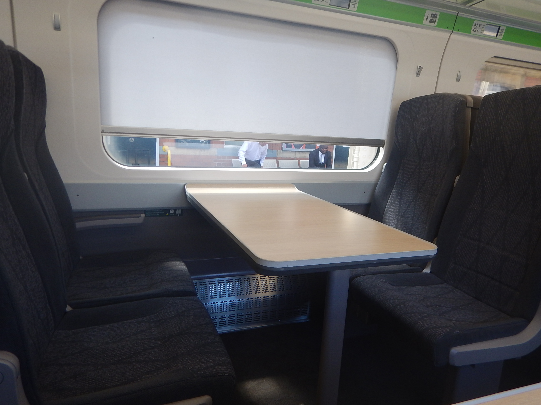
Note.
- The seats are arranged either side of the window.
- There are lots of tables.
- If the blind was up, passengers will get a good view.
If as I surmised from the video, seating is two+three and there are 39 bays, that means that the train has a base seating capacity of 390 seats.
That leaves ten seats to find places for, or just two per car.
With two+two seating, there would be 312 seats in the bays under windows, so there would be a need to fit in another 86 seats.
It appears to me that to meet their objective of 1.5 million additional seats that a two+three layout is needed.
But it could be that most passengers will get a proper table and possibly reasonable leg room. Try getting that on a budget airline!
A Few Questions
These are a few questions.
When Will The Service Start?
Your guess is as good as mine, but First Group are saying Autumn 2021.
Is The Service Geared For Group Or Family Travel?
Each train has thirty-nine groups of six seats and the same number of groups of four seats.
If say it was granny’s birthday in Edinburgh or a group of six friends were going to Scotland-England at Murrayfield, the layout would accommodate groups and families well.
They certainly need a good seat allocation algorithm.
Will I Be Able To Use My Railcard?
I would suspect not!
But then it would only save £8.33!
What About Delay Repay?
This will be automatic! I can’t ever be bothered to claim otherwise!
Will There Be Disabled Toilets?
It’s the law! But I have seen some much smaller ones that are well-designed and meet all aspects of the law in some new trains, so I would expect to find innovative designs.
Will There Be Single Seats?
I can sleep anywhere and regularly find myself returning to London curled in the corner of my seat fast asleep.
A single seat in the corner of the carriage might be ideal for some passengers.
Will Everybody Get A Table?
If I’m right about each seating bay having a table, then it would look like around ninety-seven percent of passengers would get a proper table. Not big enough for a copy of the Daily Telegraph, but they should have enough space for a laptop and/or a few beers.
What Food And Drink Will Be Offered?
I suspect, it will mainly be drinks and snacks like crisps or nutrition bars, which can be easily served from a trolley.
It should be noted that the three major stations on the route King’s Cross, Newcastle and Edinburgh all have a good selection of places to buy a carry-on!
But unlike at an airport, I suspect passengers won’t turn up two or three hours before departure, so will be unlikely to eat before departure.
I do think, that we could see improvements in the food offerings for taking on the train at Stevenage and Morpeth.
East Coast Trains may also contribute to the development of carry-on shops at some stations.
Will The Trains Accept Bicycles?
This is a tricky one and personally I feel that offering a decent bike hire service could be better value all round.
Using The Fleet Of Five Trains
Wikipedia and other sources indicate that the fleet is just five trains.
We know these facts or proposals.
- King’s Cross and Edinburgh are 393.15 miles apart.
- LNER run trains between King’s Cross and Edinburgh in four hours and twenty minutes (4 stops) and four hours and forty minutes (9 stops)
- The record time between King’s Cross and Edinburgh was set in 1991 by a shortened all-electric InterCity 225 train at three hours twenty-nine minutes and thirty seconds, which represented an average speed of 112.5 mph.
- Trains start leaving King’s Cross and Edinburgh about 05:45.
- The Werrington Dive-Under will, be completed in 2021.
- The King’s Cross Remodelling should be completed this year.
- Full digital in-cab signalling is being installed between King’s Cross and Doncaster. This will allow 140 mph running and as a Control Engineer, I believe it could ease the bottlenecks at Newark and over the Digswell Viaduct.
- East Coast Trains’ Class 803 trains appear to have been designed for sparkling acceleration.
- East Coast Trains will only make three stops.
- East Coast Trains intend to compete with the budget airlines.
- East Coast Trains intend their first train to arrive in London by 10:00. Does that mean Edinburgh as well?
I have just checked on Real Time Trains and this East Coast Trains timetable can be found.
King’s Cross and Edinburgh
- 05:45 – Arrives 10:10 – 4 hours 25 minutes – Stops at Stevenage
- 10:45 – Arrives 15:17 – 4 hours 32 minutes
- 12:18 – Arrives 16:41 – 4 hours 23 minutes – Stops at Stevenage
- 14:36 – Arrives 19:15 – 4 hours 39 minutes
- 20:18 – Arrives 00:46 – 4 hours 28 minutes
Edinburgh and King’s Cross
- 06:14 – Arrives 10:51 – 4 hours 37 minutes
- 09:11 – Arrives 13:48 – 4 hours 37 minutes
- 11:14 – Arrives 15:46 – 4 hours 32 minutes
- 16:12 – Arrives 20:47 – 4 hours 35 minutes – Stops at Stevenage
- 19:58 – Arrives 01:05 – 5 hours 7 minutes – Stops at Stevenage
Note.
- Times appear to be in-line with those of LNER.
- East Coast Trains’ objective of arriving by 10:00 is not met.
- Paths exist for East Coast Trains from the 7th June.
I believe this timetable is based on what is possible today without the improvements at King’s Cross and Werrington, and the digital signalling.
What Could Be Possible?
Consider.
- The improvements that are underway will help to reduce journey times.
- I also believe that by being clever, East Coast Trains could reduce turn-round times at King’s Cross and Edinburgh.
I think it is likely, that East Coast Trains could probably run between King’s Cross and Edinburgh in a time of around four hours.
I can also see a turn-round time of five minutes, if East Coast Trains use all their First Group experience.
Could this mean, a train starting from King’s Cross doing the following trips in a day?
- 05:50 – King’s Cross to Edinburgh – Arrives 09:50
- 09:55 – Edinburgh to King’s Cross – Arrives 13:55
- 14:00 – King’s Cross to Edinburgh – Arrives 18:00
- 18:05 – Edinburgh to King’s Cross – Arrives 22:05
- 22:10 – King’s Cross to Edinburgh – Arrives 02:10
Note.
- A second train would mirror this time-table starting in Edinburgh.
- Every minute saved on each journey between King’s Cross and Edinburgh will bring the final arrival forward.
- There is tremendous potential to speed up services.
This time-table would be straight out of Michael O’Leary’s notebook about making assets sweat.
Conclusion
I think that East Coast Trains have done a Ryanair and designed the train to accommodate the maximum number of passengers. But the quoted £25 fare does appear to be good value.
I am certain that two+three seating will be used.
Marsh Barton Station – A Ride-To-Work Station
According to this article on pbctoday, work has started at the new Marsh Barton station in Exeter.
This first paragraph from the article makes it clear.
Graham has commenced works on the construction of the new £16m Marsh Barton railway station in Exeter.
This Google Map shows the location.
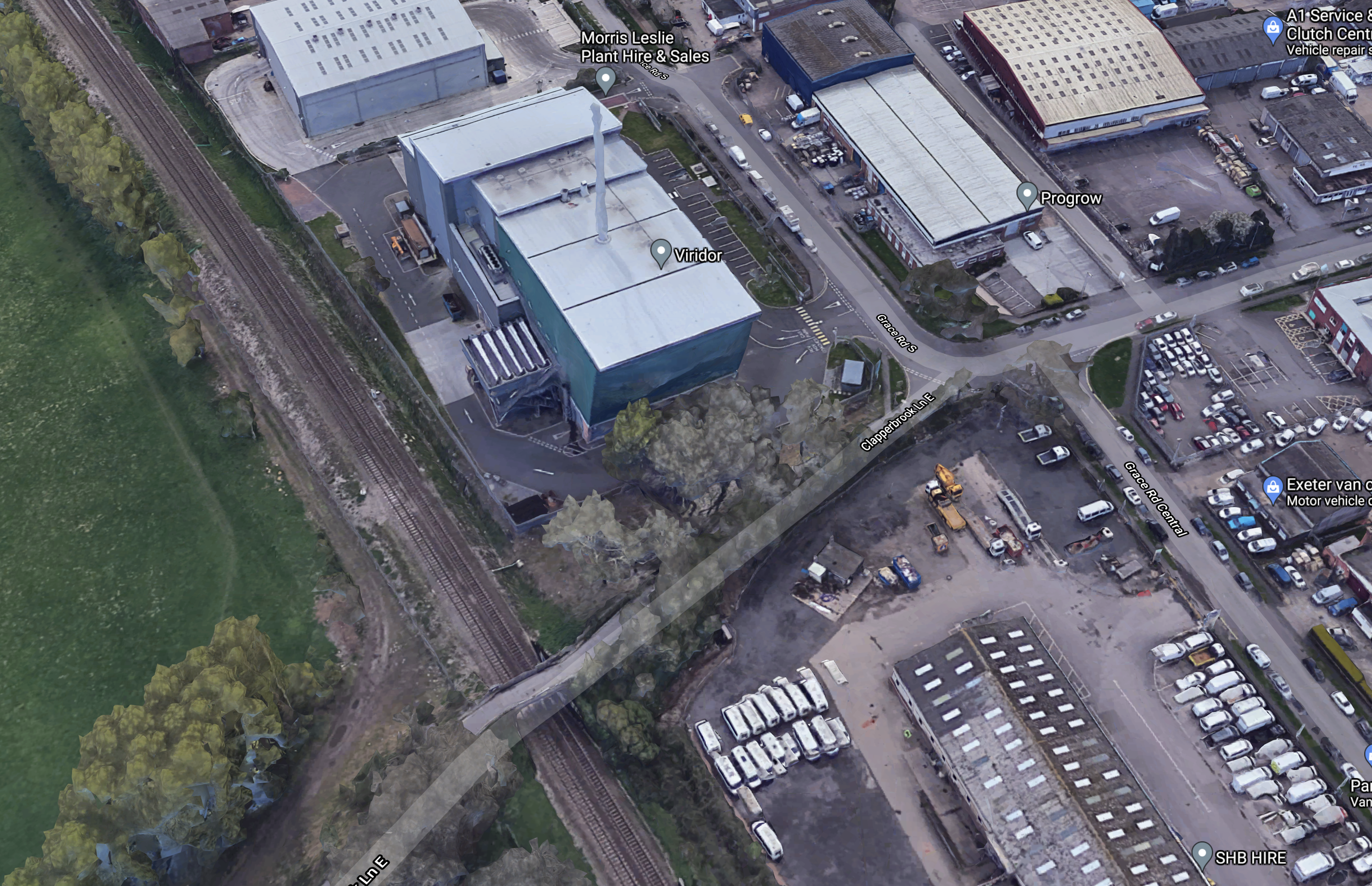
Note.
- The Riviera Line between Paignton and Exeter towards the Western side of the map.
- Clapperbrook Lane running to the South-West corner of the map over the railway.
- The large blue-clad building with the chimney, is the Viridor energy-from-waste plant.
- Marsh Barton itself is a large trading estate to the North-East of the railway.
The station will be built where Clapperbrook Lane crosses the railway,
This document of the Devon County Council (DCC) web site gives more details about the station.
This image from the DCC document shows how the completed station will look.
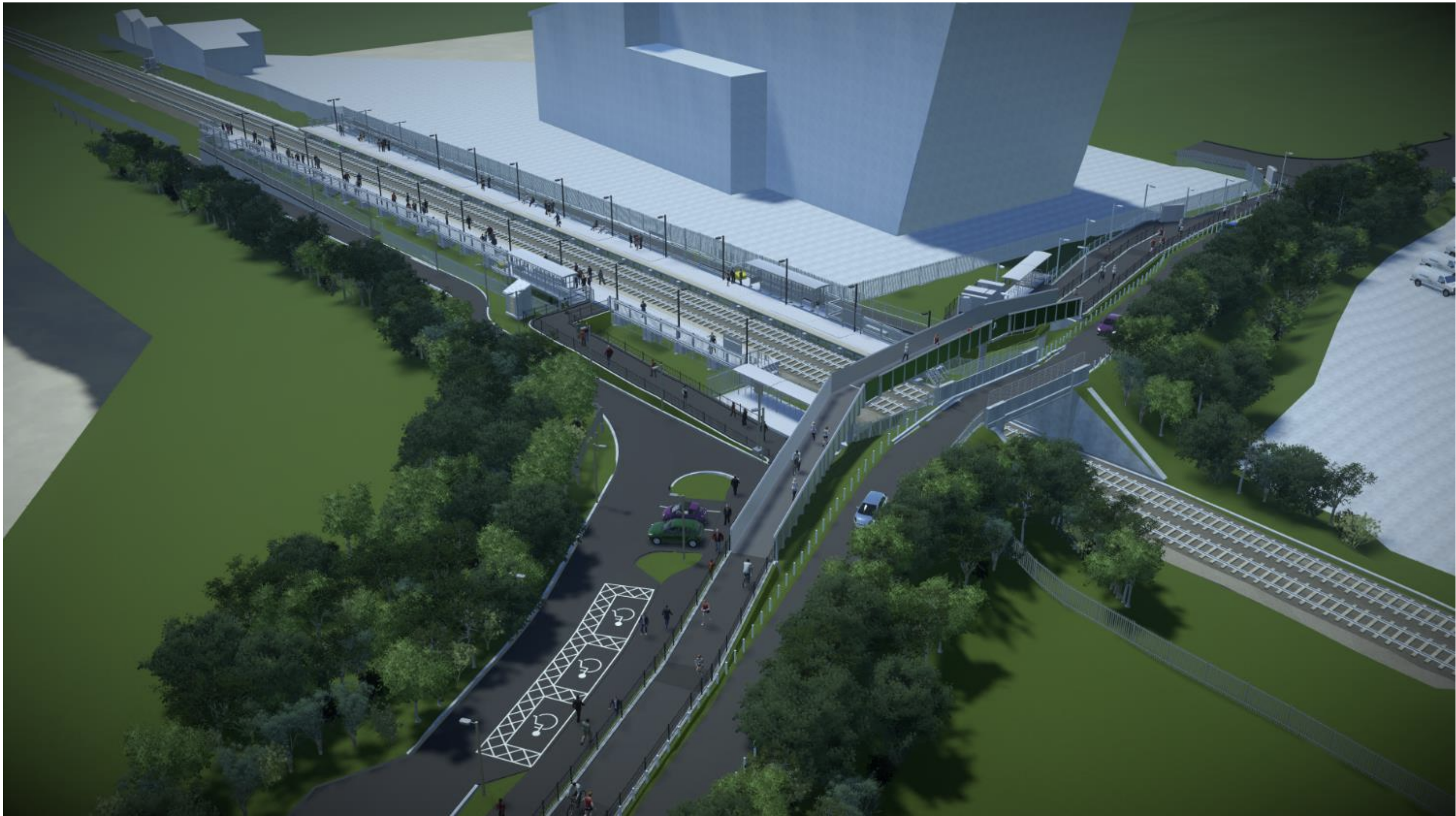
These are my thoughts.
Crossing The Tracks
A cycle and foot bridge will be built parallel to the current Clapperbrook Lane East Bridge over the railway.
The DCC document says this about the bridge.
The key changes from the previous proposal relates to the ramps and access
between the two platforms. The previous design included ramps running parallel to
the railway, with long ramps and imposing structures due to Network Rail
requirements for their asset. The redesign now includes the ramps and a new bridge
constructed parallel to Clapperbrook Lane. This will instead be a Devon County
Council-owned asset and allows Devon County Council standards to be applied for
their pedestrian bridges. This is more in line with preferences expressed by disability
groups who supported shorter length but slightly steeper gradient with resting
platforms.
It looks to me that the final design will be much more aesthetically-pleasing than some of the structure Network Rail have erected lately.
These pictures show Network Rail’s traditional approach at Horden station.

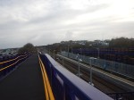
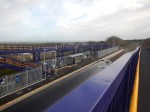
I feel the Devonian approach could be better, when I see it.
From the Google Map 3D image of the station, it looks like the bridge could be already under construction, so I don’t think, I’ll have long to wait.
The Platforms
The DCC document says that there will be two 124 metre long platforms, which will take six-car local trains.
- 3 x 2-car Class 150 trains will be 120.2 metres long
- 3 x 2-car Class 156 trains will be 138.2 metres long
- 2 x 3-car Class 165 trains will be 137.1 metres long
- 1 x 5-car Class 800 train is 130 metres long
It strikes me that although 124 metres can accommodate a formation of three Class 150 trains, it might be too short in the future.
Especially, as trains likely to be available in battery-electric versions, which will surely be used to decarbonise the Riviera Line in the future, all have cars of 23 metres or longer.
Both platforms appear to have just a single waiting shelter.
Cycle Parking
There are twenty parking spaces for cycles on each side of the line.
The DCC document says this about local housing and cycling.
The station will be within reasonable cycling distance of the 2,500 dwelling South
West Exeter strategic allocation and Alphington village and so forms an important
part of mitigating traffic impacts on routes on the western side of the city.
Is there enough provision for the secure storage of cycles?
Disabled Parking
There are just three parking spaces for disabled passengers.
Car Parking
There are no generally-available car parking spaces.
The DCC document says this about car parking.
The scheme will also support aims for low-car development aspirations as part of the
emerging Liveable Exeter housing plans, which includes proposals for strategic
levels of housing in the Marsh Barton area, all within easy walking distance of the
station.
But will the station persuade local residents to forgo driving into Exeter and use the train?
Who Will Use The Station?
The DCC document talks of Marsh Barton station being a destination station for those who work in the area.
It also says this about leisure use.
In addition, the existing Clapperbrook Lane adjacent to the station provides an important link into the Riverside Valley multi-use trail network for leisure trips as well as commuter journeys to RD&E and County Hall, within a short walk/cycle distance of the station. Being located adjacent to a high quality, attractive cycle network offers huge potential to improve integration between rail and cycling.
Currently the lane is very popular with over 400 cyclists per day recorded crossing the rail bridge; however, it is narrow with poor visibility and although lightly trafficked is not suitable for all young families, people with disabilities or people less confident on bicycles.
I have a feeling that the station will need some extra facilities to attract more passengers. Ideas like a drop-off and pick-up facility, a warm place to wait and perhaps a local shuttle bus come to mind.
But as I said in the title it is very much a Ride-To-Work station.
Conclusion
The station has an interesting feature in the bridge over the railway, which gives full step-free access.
But I do feel that some of the details of the station will need some extra thought.
From other pages on the web, it appears the station is being constructed under a Design and Build contract with experienced station builder; Graham Construction. So hopefully, the details will be properly sorted.
The proof of the quality of the design will be in the usage figures.
