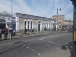
Will The Liverpool Street Rebuild Have More Platforms?
I asked Google AI, the question in the title of this post and received this reply.
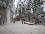
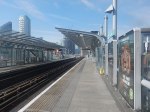
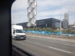
The approved £1bn+ redevelopment of London Liverpool Street Station, greenlit in February 2026, focuses on increasing capacity and accessibility rather than adding new platforms. The plans, to be completed by mid-2036, involve enlarging the concourse by 76%, increasing lifts/escalators, and providing step-free access to all existing platforms.
Platform Changes: While there is no mention of increasing the total number of train platforms, the project will significantly improve access and reduce congestion.
Capacity Enhancements: The project includes a 76% increase in concourse capacity.
Infrastructure Upgrades: Escalators will increase from four to ten, and eight new lifts will be installed.
Accessibility: The project aims to provide full step-free access across all rail and underground platforms.
New Construction: A large, multi-story office building is planned above the station, and the concourse area will be redesigned for better flow.
The project aims to handle over 200 million passengers annually by the time it is finished.
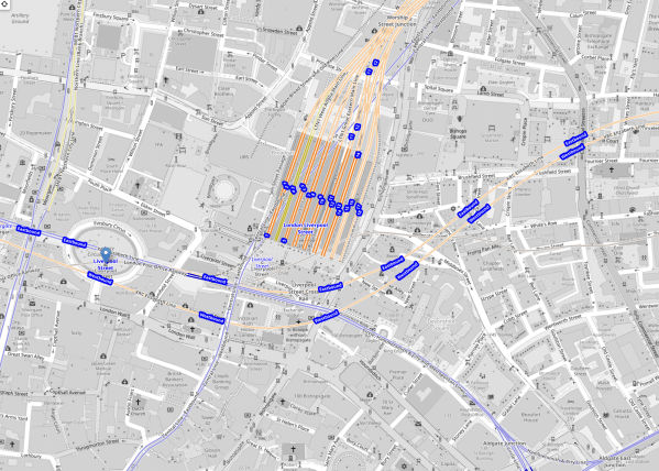
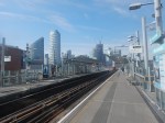
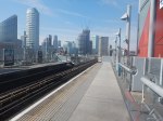
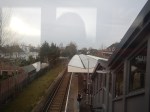
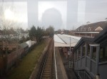
This OpenRailwayMap shows the layout of tracks in the station.
Note.
- The square block in the middle of the map are Platforms 1-18 of the main station.
- Eighteen is in the East and 1 is in the West.
- The Central Line of the London Underground runs diagonally in blue under the main station.
- Running in orange from the West to the North-East in front of the station is the Elizabeth Line.
- Running South of Lizzie in blue are the sub-surface lines of the London Underground.
I wonder, if at some point in the distant future, a terminal platform or two could be added to the very deep Elizabeth Line, that connected to tunnels underneath Liverpool Street station.
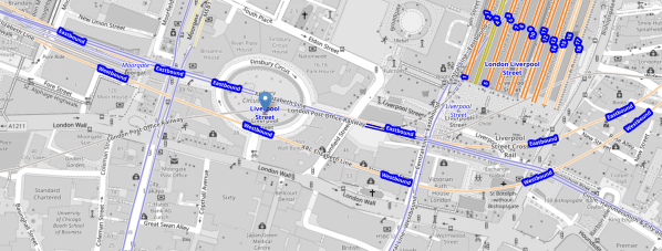
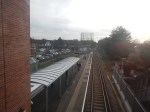
This second OpenRailwayMap shows the sub-surface lines and the Elizabeth Line, as they pass across in front of Liverpool Street station.
Note.
- Moorgate Station is in the North-West corner of the map
- Moorgate Statation has two virtually unused west facing bay platforms.
- The sub-surface lines are shown in blue.
- The Elizabeth Line is shown in orange.
- Finsbury Circus is in the middle of the map, with the sub-surface lines underneath.
- The Central Line is shown in blue and crosses between Finsbury Square and Liverpool Street station on its way to Bank.
- In front of Liverpool Street station, there is a disused bay platform on the sub-surface lines.
- The Bank branch of the Northern Line and the Great Northern run North from Moorgate station.
- Access to the Great Northern could be improved.
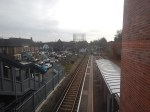
I feel there is scope for more trains to be run on the sub-surface lines through Moorgate and Liverpool Street.
- Accessibility to the sub-surface lines at Moorgate and Liverpool Street station could be improved.
- There has been talk of extending some services to Barking.
There is certainly scope to improve the sub-surface lines.
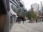
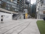
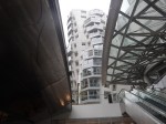
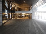
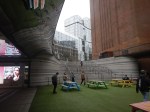
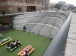
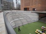
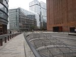
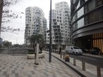
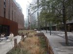
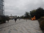
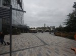
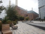
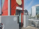
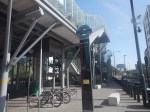
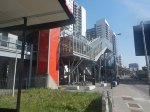
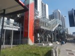
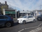
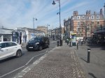
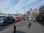
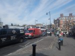
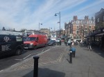
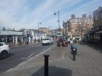
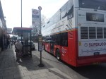
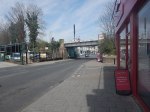
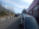
The New Entrance To Battersea Power Station Station – 7th October 2025
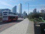
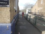
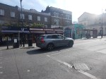
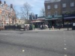
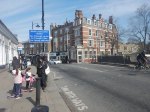
The new entrance to Battersea Power Station station opened recently, so I went to have a look.


Note.
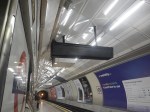
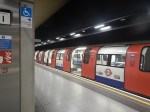
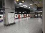
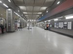
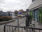
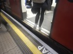
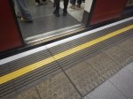
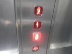
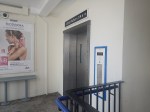
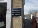
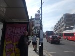
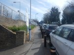
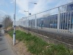
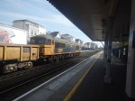
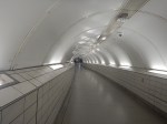
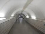
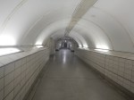
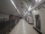
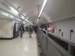
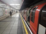
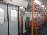
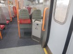
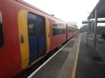
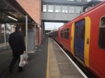
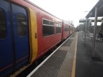
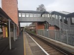
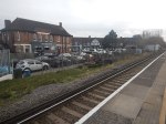
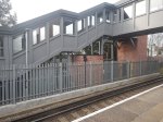
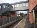
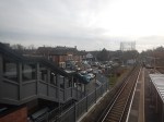
- The first picture shows the terrible train indicators in Moorgate station.
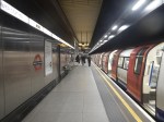
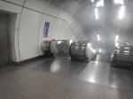
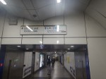
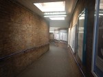
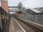
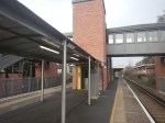
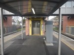
- Comparing the next three pictures with the first, show how much better the lighting is in Battersea Power Station station is compared to Moorgate station.
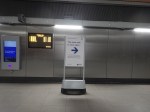
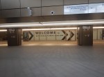
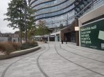
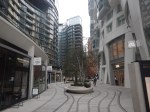
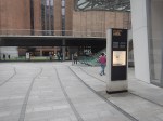
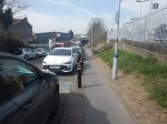
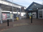
- Someone had the thought to put up a sign to indicate the new entrance.
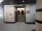
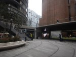
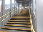
- The entrances are at opposite ends of a spacious ticket hall.
- There are lifts to the surface.
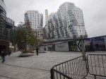
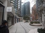
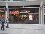
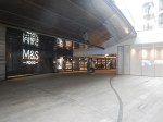
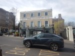
- Exit is direct into a parade of smart shops.
- The Leon is more upmarket, than their Hanover Square outlet.
- There is a Boots, an M & S Food and a Zara close to the new entrance to the station.
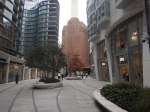
- There was a lot more greenery, than when I last visited.
I finished my visit by walking down to the river to catch the Thames Clipper back to London Bridge station.
Unlocking Euston Station
I dread using Euston station.
The connections to the London Underground in the station, involve a long walk to or from your train and then outside the station to.
- The Northern and Victoria Lines just outside the station.
- The sub-surface lines at Euston Square station, which is a long walk.
There is no connection to the Lizzie Line.
I have probably written more project management software, than any other individual in the world.
Good project managers and probably a few bad ones too, talk about getting all your ducks in a row or doing everything in the right order.
If High Speed Two is going to terminate at Euston, then the first sub-project must be to connect Euston station properly to the Metropolitan, Circle and Hammersmith & City or sub-surface lines of the Underground, which have new spacious air-conditioned trains and run on a line that is digitally signally, so the capacity can be easily increased.
The sub-surface lines also link, the National Rail stations of Liverpool Street, Moorgate, Farringdon, King’s Cross, St. Pancras, Euston, Paddington, Victoria, Charing Cross and Blackfriars, and could be connected to Fenchurch Street and Marylebone. It also has links to the Lizzie Line.
Improve the interchanges and this marvelous Victorian system could unlock London’s transport system like no other.
Five years ago, a similar arrangement to that at St. Pancras was proposed with subways under Euston Road that linked to extended platforms at Euston Square Underground station, by means of lifts and escalators.
Why has this new link between National Rail at Euston and sub-surface Underground not been built? I estimate that it would have taken a couple of years and have fitted in with all the work being done in front of Euston station.
The current Mayor never mentions the project, but then it is a North London project, so it doesn’t interest him and his supporters.
The Design Of The Updated Euston Underground Station
Ian showed this visualisation of the updated Euston Underground station.
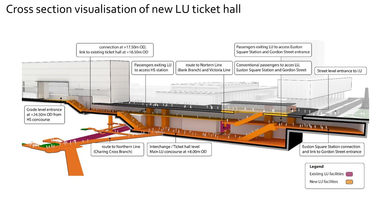
At a first look, it appears to be a very similar concept to the entrance to the Underground in front of St. Pancras station.
Click on the image to show it large and you can pick out the following.
- West is to the left and East is right.
- Much of the construction appears to replace the original car park and taxi rank.
- The upper level looks like where passengers enter and leave the station.
- The subway to Euston Square station and the new Gordon Street entrance joins to the upper level towards the Eastern end.
- There is grade access between the upper level and the High Speed Two concourse.
- There are lots of escalators to travel between levels. The square orange columns could be lift towers.
- The lower level is the Interchange/Ticket Hall level.
- The lower level is not much higher than the Charing Cross branch of the Northern Line.
- The design seems to make clever use of levels to make changing easier.
- The access between the lower level and the Charing Cross branch of the Northern Line at the Western end of the station, appears to be comprehensive and step-free.
- The access between the lower level and the Victoria Line and the Bank branch of the Northern Line, appears to use the current route, which will probably be upgraded to be fully step-free.
This second image shows the design from above the platforms of the conventional section of Euston station.
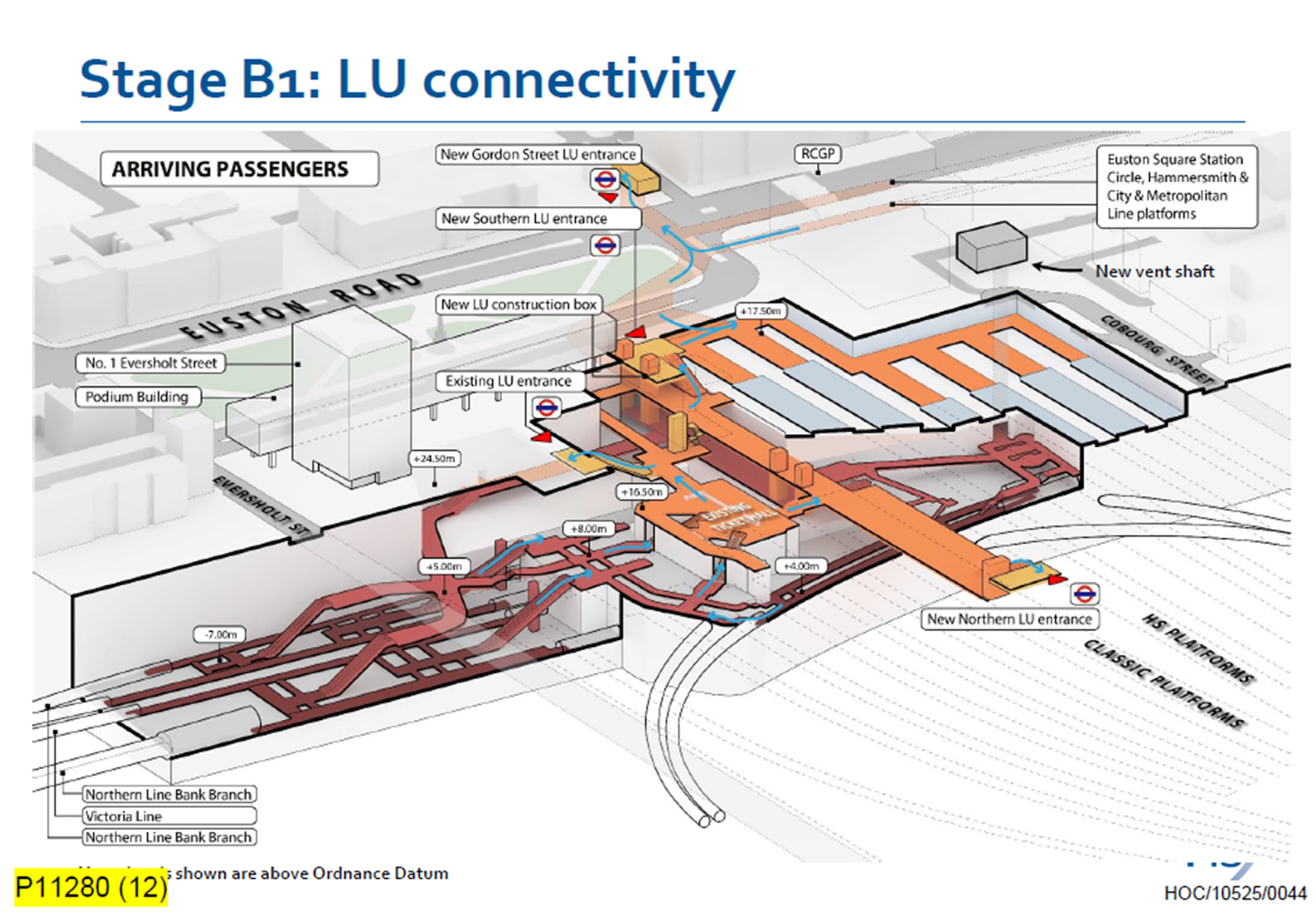
Click on the image to show it large and you can pick out the following.
- The complicated passages, escalators and lifts of the existing four platforms serving the Bank branch of the Northern Line and the Victoria Line.
- The cross passage connecting these lines to the platforms of the Charing Cross branch of the Northern Line.
- The two up and two down escalators leading to the existing ticket hall.
- The Charing Cross branch of the Northern Line curving in and away from the station. See the earlier map of the Underground lines.
- The eleven High Speed platforms on the West side of the station.
- The thirteen Classic platforms on the East side of the station.
- The new Northern entrance to the Underground between the two sets of platforms. How convenient!
- There appears to be a wide passage between the Northern and Southern entrances, with connections to the lines branching off.
- The subway to the new Gordon Street entrance is shown at the top of the image.
The design seems to have separated access to the two branches of the Northern line, by creating a new high-capacity route to the Charing Cross branch.
I also think, that the design allows the station to be built without disrupting passengers using the Underground and the current Euston station.
- A large hole for the station can be excavated, without touching existing access.
- It could then be fitted out section by section.
- Once the new access to the Charing Cross branch of the Northern Line is complete, the current access to the Northern and Victoria Lines can be refurbished.
Arriving At Euston
Imagine you are a passenger arriving from the North, who knows the Underground line, you need to take, you would then enter the Underground station using the new Northern entrance.
- For the Bank branch of the Northern Line or the Victoria Line, you would go through the existing ticket hall and down the escalators, much as you do now! Except that you’d enter the ticket hall on the other side from the East side of the passageway connecting the two entrances. New lifts appear to be shown.
- For the Charing Cross branch of the Northern Line, you would take the passages, lifts and escalators on the West side of the passageway connecting the two entrances.
- If you wanted the sub-surface lines, you would just keep going and take the new subway, which connects to the Eastern ends of the platforms at Euston Square station.
It will certainly do me fine, if I arrive at Euston, as I’ll walk through the subway and get in the front of any Eastbound train for Moorgate station, where being in the front is convenient for the exit and the nearby bus stop to my home.
This route will surely be one of the ways arriving passengers at Euston will get Crossrail to Abbey Wood, Canary Wharf and Shenfield stations. In Crossrail – Northern – Northern City Interchange At Moorgate Station, I show some visualisations of Moorgate station and the connectivity.
Did Plans For Crossrail Ever Include A Station At Holborn?
I have only one North-South bus route, where I live.
The 141 bus connects Palmers Green and London Bridge station.
- The 141 bus was the replacement for the 641 trolley bus, which was the main link between Wood Green, Turnpike Lane and Harringay, and the City of London, when I was a child.
- The vehicles are up to ten years old Wrightbus diesel hybrids.
- The route suffers badly from overcrowding as it connects, Bank and Moorgate stations in the City of London, with the outer reaches of the Piccadilly Line.
The overcrowding on the 141 bus route has got worse in the last couple of years because of the following.
- The rebuilding of London Bridge station brought more passengers to the 141 bus route.
- The opening of the new London Bridge bus station at London Bridge station has improved access to the buses at London Bridge station.
- The improvement of the connection of the buses to the Docklands Light Railway, Central Line and Northern Line at Bank station.
- The opening of the Battersea branch of the Northern Line, which brings more passengers to Bank station.
- The opening of the new Cannon Street entrance to Bank Underground station.
- The opening of the Elizabeth Line through Moorgate station.
- Recently, a new walking route between Moorgate and Liverpool Street was opened, which will bring more passengers to the buses on Moorgate.
- The rebuilding of Old Street station brought more passengers to the 141 bus route.
So what was the response of the Mayor and Transport for London, to all this increase of passenger numbers?
The 21 bus, which shadowed the 141 route, and doubled the number of buses through where I live, was moved to serve Holloway.
It was a big crime against mathematics and the wishes of our long-serving Labour MP; Meg Hillier.
So to handle many more passengers between London Bridge station and Newington Green through the City of London, the number of buses was halved.
I believe that the overcrowding will get worse because of the improvements, that Transport for London have planned.
- The Piccadilly Line will be getting new air-conditioned trains within a couple of years and these will inevitably attract more passengers to the line.
- On the other hand the air-conditioning may persuade passengers to use the Piccadilly Line more than they do now. Instead of changing to the 141 bus at Manor House station, passengers could change at Finsbury Park, King’s Cross St. Pancras or Holborn stations for other routes to the City of London.
- The third line to receive the new air-conditioned trains will probably be the Central Line, which would create another East-West air-conditioned line and bring more passengers to Bank station.
- The Central Line could give some relief for the buses through Bank, if an extra station was built on the Central Line to interchange with Shoreditch High Street station on the East London Line of the London Overground.
- The fourth line to receive the new air-conditioned trains will probably be the Waterloo and City Line, which would create another air-conditioned line and bring more passengers to Bank station.
- It is likely, that more services will be added to the Elizabeth Line, which will bring more passengers to Moorgate station.
- It is likely, that more services will be added to the Northern City Line, which will bring more passengers to Moorgate station.
- The Mayor is also planning to pedestrianise Oxford Street, which may fill up the Central Line with extra passengers.
It looks to me, that there will be a need for a large increase of bus capacity through the City of London on a North-South axis.
On the other hand, the City of London have stated that they will pedestrianise many of their streets.
So what can be done to avoid gridlock in the City of London?
Develop The Northern City Line At Moorgate
I use this route regularly to and from Moorgate station.
- It already has new Class 717 air-conditioned trains.
- The route is already digitally signalled in conjunction with the East Coast Digital Programme.
- It has two platforms at Moorgate station.
- Highbury & Islington station has interchanges with the Victoria Line and the North and East London Lines of the London Overground.
- Finsbury Park station has interchanges with the Victoria Line and National Rail services.
- Bowes Park station has an out of station interchange with Bounds Green station on the Piccadilly Line.
- Step-free access needs improving.
- The Victorians had plans to extend the line to Lothbury near Bank station.
If the Northern City Line could handle more passengers, would passengers get to all parts of the City of London by changing at Finsbury Park and walking from Moorgate or Old Street stations?
I regularly go between my house and Moorgate, by taking a bus to Essex Road station and using the Northern City Line.
I believe that with improvements on the Northern City Line, the line could be turned into a very valuable part of London’s rail infrastructure.
Connect The Central Line And The East London Line At Shoreditch High Street Station
I wrote about this proposal in Will Shoreditch High Street Be Connected To The Central Line?
The Elizabeth Line needed to be completed before this could be started.
Build The Western Extension Of The Docklands Light Railway
I wrote about this proposal in The Bank Station Upgrade And The Western Extension Of The DLR.
Rebuild Holborn Station
The interchange between Piccadilly and Central Line at Holborn station is difficult to say the least.
Holborn station is being extended with a new entrance. As with Euston, I suspect it has been designed with a feasible place for DLR platforms to be added.
This document on the TfL web site, gives more details of what is proposed at Holborn station.
I extracted this visualisation of the proposed station.
This map from carto.metro.free.fr shows the lines in the through and around the station.
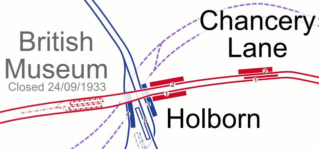
.Note, the Elizabeth Line, which is shown by dotted lines passes to the North of the station.
Conclusion
Not all these improvements need to be done, but each would improve transport in the City of London.
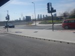
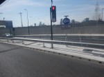
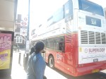
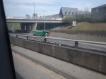
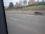
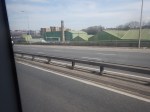
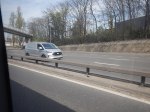
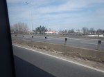
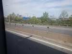
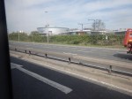
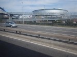
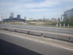
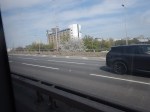
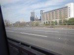
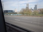
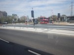
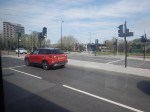
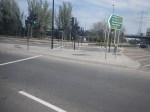
Is The Silvertown Tunnel A Silver Elephant?
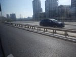
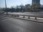
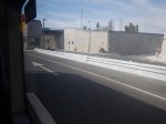
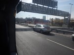
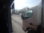
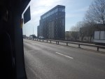
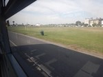
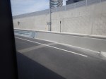
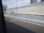
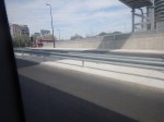
I have been through the Silvertown Tunnel several times now and every time the bus has never really slowed for lots of traffic.
I went through this morning on Easter Sunday and these pictures show all the other traffic I saw.
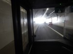
Note.
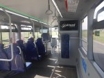
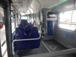
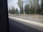
- I was sitting in the front passenger seat of a 129 bus, which is on the left of the bus.
- We were going from South to North through the Silvertown Tunnel.
- I could read the driver’s speedometer and it showed within a mile per hour of thirty all the way.
- We were passed by only one car in the tunnel.
- There were about a dozen passengers on the lower deck of the bus.
- I didn’t check how many were on the top deck of the bus.
Even on an Easter Sunday, I would have thought the service would have been busier.
Is The Silvertown Tunnel A Silver Elephant?
There are two answera to this question.
- Yes – A lot of money has been spent for just a few cars and bus passengers to have an easy ride through the tunnel.
- No – As traffic is flowing freely through the tunnel, it shows the tunnel is doing its job and freeing up traffic in East London.
But whatever view you take, a lot of money has been spent for a small number of vehicles and passengers to pass through the tunnel.
I also suspect very little extra revenue is being generated.
The Jubilee Line Was Busy
The complete route I took this morning was as follows.
- Home To Angel – 38 bus – Not very busy.
- Angel to London Bridge – Northern Line – Not very busy.
- London Bridge to North Greenwich – Jubilee Line – All seats taken.
- North Greenwich to West Silvertown – 129 bus – Not very busy.
- West Silvertown to Canning Town – Docklands Light Railway – Not very busy.
- Canning Town to Canada Water – Jubilee Line – All seats taken.
- Canada Water to Dalston Junction – Overground – Not very busy.
- Dalston Junction to Home – 30 bus – Not very busy.
Note.
- Only the sections on the Jubilee Line were really busy, with all seats taken.
- London Bridge, Stratford and Waterloo stations on the Jubilee Line are also busy National Rail stations.
- London Bridge, Canada Water, North Greenwich, Canning Town and Stratford all have large modern well-designed bus stations within easy walking distance of the Jubilee Line.
- Given, that there is now a charge to cross the river, have a lot of people decided to take the Jubilee Line rather than their car to go to the O2 at North Greenwich and the Olympic Park and Eastfield at Stratford?
I strongly feel, that more capacity is needed on the Jubilee Line, as no matter what time I use it, I never seem to get a seat.
Taking The Dover Road
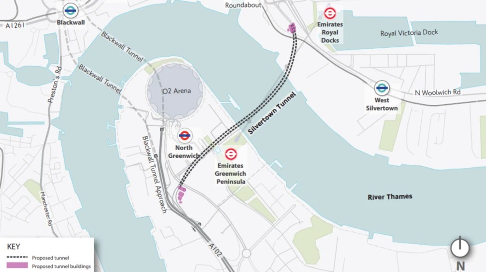
This Google Map shows how the A2 ( the Dover Road) links up with the Silvertown and Blackwall Tunnels.
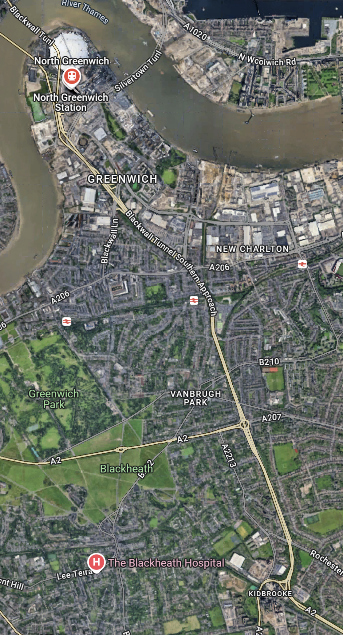
Note.
- The O2 in the North-West corner of the map, with North Greenwich station in red under it.
- The Blackwall Tunnel crosses the river to the North-West of the O2.
- The Silvertown Tunnel crosses the river to the East of the O2.
- Running diagonally across the map is the Blackwall Tunnel Southern Approach, which also serves the Silvertown Tunnel.
- The station to the West of the Southern Approach is Westcombe Park station.
- Click the map to show it to a larger scale.
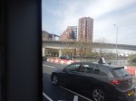
This second Google Map shows the O2, North Greenwich station and the approaches to both tunnels.
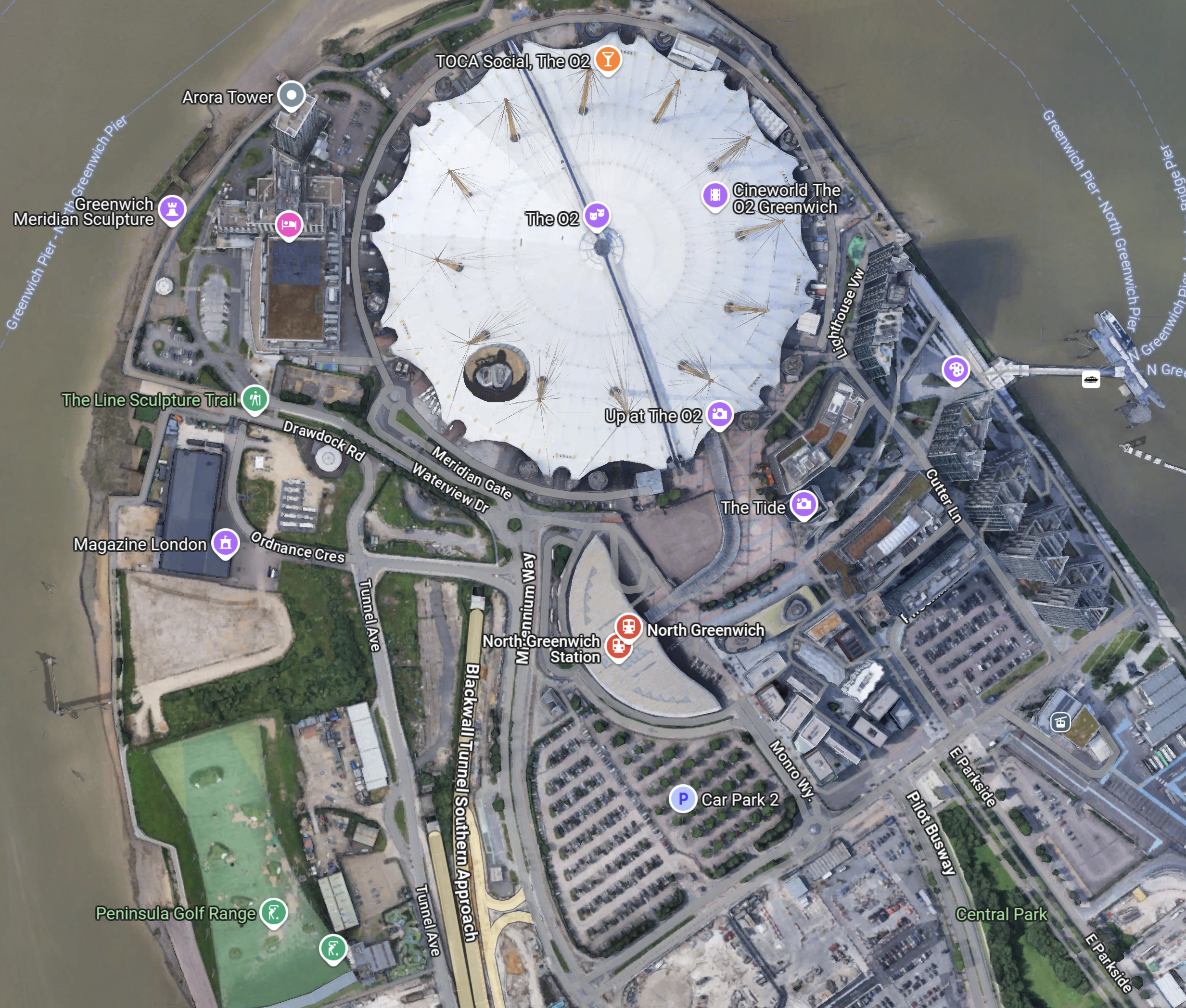
Note.
- The half-moon-shaped building is North Greenwich station.
- The tunnel approaches are rather complicated, but seem to be working well.
- There is lots of car parking.
- The Blackwall Tunnel Southern Approach leaves the tunnles in a Southerly direction.
- Click the map to show it to a larger scale.
This third Google Map shows how the A2 (Dover Road) and A20 (Folkestone Road) link up to the Blackwall Tunnel Southern Approach.
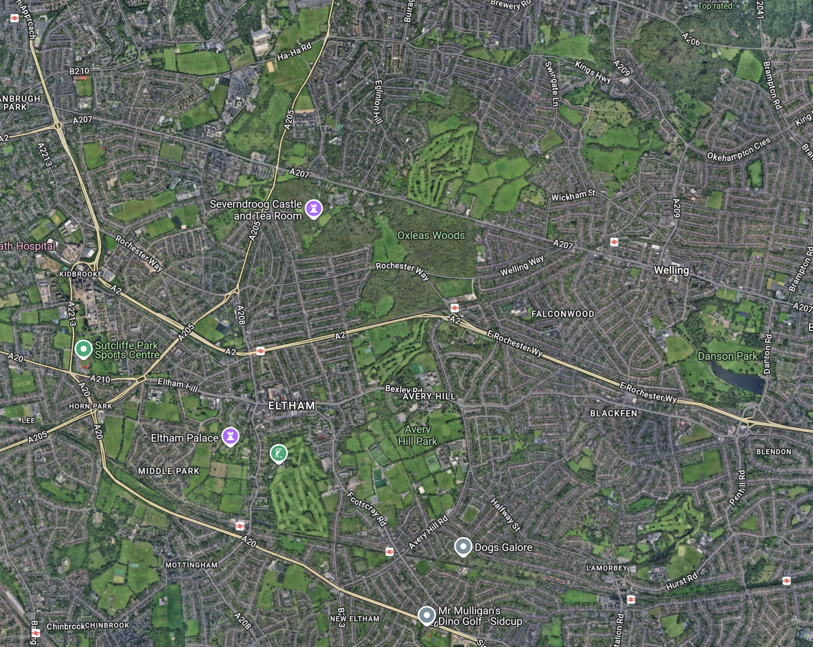
Note.
- The station in the North-West corner of the map is Westcombe Park.
- The road running diagonally South-East from the corner is the Blackwall Tunnel Southern Approach.
- The Blackwall Tunnel Southern Approach then turns East to join with the A2 (Dover Road).
- The Blackwall Tunnel Southern Approach also links up with the A20 (Folkestone Road) , which is the other road running diagonally at the bottom of the map.
In some ways, I am rather surprised at how little traffic is passing through the tunnels given this double dual-carriageway/motorway connection to East Kent, the Channel Tunnel and the Continent. It also has a double connection at both the A2 and A20 to join the M25.
Perhaps, it does mean that the charges are frightening drivers away.
The Roads To The North
This Google Map shows the main approach road to the Blackwall Tunnel.
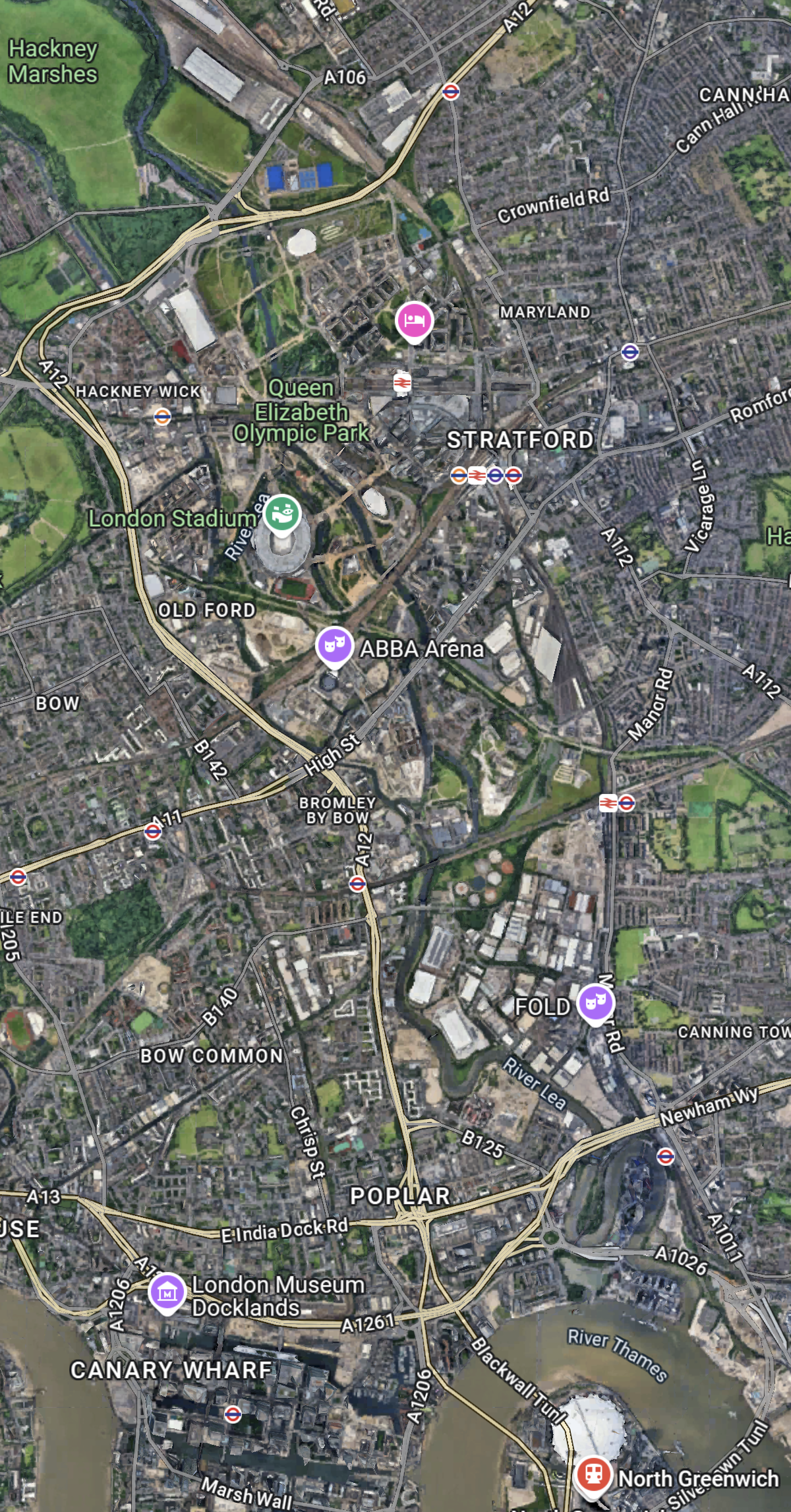
Note.
- The O2 and North Greenwich station in the South-East corner of the map.
- The Blackwall Tunnel crosses the river to the North-West of the O2.
- The A12 dual-carriageway runs North up the Lea Valley through Hackney.
- There is a dual-carriageway/motorway box formed by the M11 in the West, A12 in the East, M 25 in the North and A 406 in the South to speed traffic on its way, including to the two main routes to the North; the M1 and the A1.
I have lived for thirty years of my life in North London, and I feel, that although the roads to the North of London could be improved, I don’t suspect they are the reason drivers are not using the Silvertown and Blackwall Tunnels.
I would suspect that drivers don’t like or trust the charging system, or could it be that the public transport system in London and especially the East of London is too good?
But we do need to increase the capacity of the Jubilee Line either directly or would a high-capacity bus-route shadowing the line, be able to add the extra capacity needed?
A Step-Free Adventure Under The Thames Between Moorgate and Grove Park
I am assembling this post, as a number of sub-posts, so it will not make sense until it is finished.
From Moorgate Station To East India Station
I started this adventure from Moorgate, but I could have started it from any Central London location that is well-connected to Bank station.
As I had had a full English breakfast in a pot, at Leon on Moorgate, it seemed to be a good place to start.
My route started simple, in that I took the Northern Line to Bank station and then took the Docklands Light Railway to East India station.
This first gallery of pictures shows my journey until I caught the SL4 bus at East India station.
Note.
- The first few pictures show getting to East India station on the Docklands Light Railway.
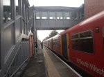
- Moorgate station has a high step into the Northern Line train.
- All the others are more or less level.
- East India station is then shown in detail.
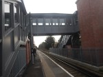
East India station is fully step-free with lifts.
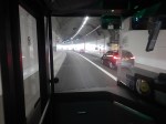
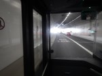
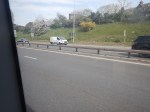
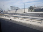
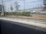
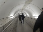
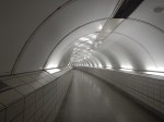
Southbound Through The Silvertown Tunnel
This second gallery of pictures shows my Southbound journey approaching and through the Silvertown Tunnel.


Note.
- The dual-carriageway leading to the tunnel wasn’t busy.
- The bus was in the inside lane all the way through.
- I don’t think anybody passed the bus.
- There appeared to be more traffic coming out of the Blackwall Tunnel.
The traffic from the two tunnels seemed to merging well.
Blackheath Station
This third gallery of pictures shows Blackheath station.
Note.
- Blackheath station has a good number of useful shops for a worthwhile pit-stop.
- There was even a fish and chip shop.
- Blackheath station has a lift to one platform and a ramp to the other.
- The bus stop I used was only a small step into the bus.
The transfer between bus and train would not be as easy as East India station, but I don’t think it would be difficult for say someone in a wheel-chair.
Lee Station
This fourth gallery of pictures shows Lee station.
Note.
- The station was a stiff uphill walk from the bus stop.
- Both platforms had their own uphill walk.
If I was in a wheel-chair, I’d give this Lee station a miss.
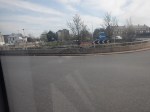
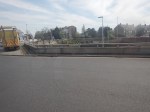
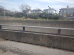
Grove Park
The route ends at Grove Park bus station.
This fifth gallery of pictures shows, where the bus terminated.
Note.
- It wasn’t the most interesting of places.
- I couldn’t even find a decent cafe for a coffee.
- In the fifteen minutes I was at Grove Park, I must have seen five SL4 buses.
- I’d hoped it would be near to Grove Park station, but I couldn’t see any signs to it and the two people I asked didn’t know where it was.
- In the end I had to walk about five hundred metres to get the SL4 back to Central London.
My mother always advised you take a posse with you, when you venture into South London. She was right!
When I got home, I looked up, where I’d been on Google Maps.
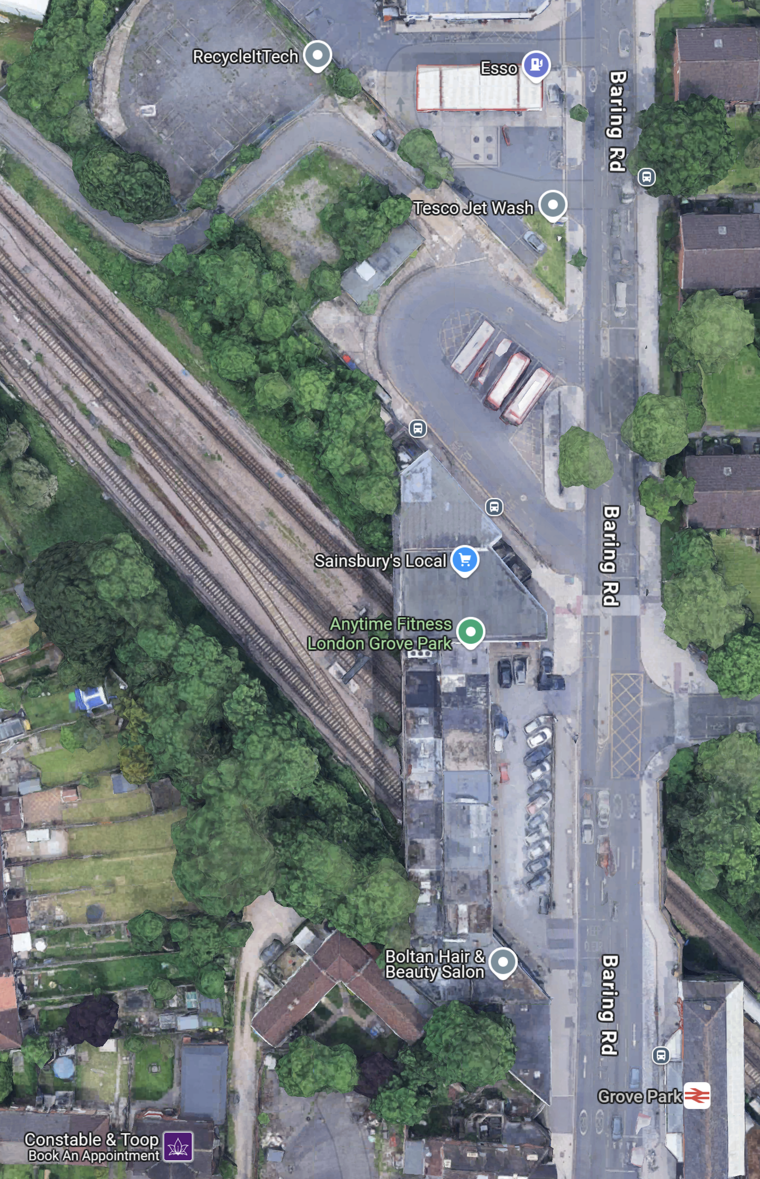
Note.
- Baring Road running North-South down the Eastern side of the map.
- The Esso filling station and the bus station are at the top of the map.
- Grove Park station is at the bottom of the map.
My mother would have said, this is why you need a posse.
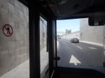
Return To East India Station
This sixth gallery of pictures shows the run up the dual-carriageway approach and the run through the tunnel.
Note.
When Silvertown Opens, Blackwall Tolls Start Too
The title of this post, is the same as that of this article on the BBC.
This is the sub-heading.
In under a month, tolls will be introduced for drivers at the new Silvertown Tunnel and the existing Blackwall Tunnel in east London.
These four paragraphs add detail to the story.
For car drivers it will cost £8 a day in peak. These are huge changes to London’s transport network and awareness seems to be low.
The new highly controversial Silvertown Tunnel opens on 7 April.
Critics have dubbed the crossing a huge polluting white elephant that will do nothing to cut congestion and pollution with little or no business case.
Supporters say it will reduce congestion on the old, existing Blackwall Tunnel and improve resilience on the crossing that closes between 600-700 times a year. It will also provide more cross river bus routes as well as a bus that can carry bikes.
As a very experienced mathematical modeller, my gut feeling is that four new tolled lanes under the River Thames is not the solution.
These are my thoughts.
Transport for London Are Not Good Mathematical Modellers
As a non-driver, I rely heavily on the 141 bus for transport.
- It stops close to my house.
- It takes me to and from Moorgate, where I also pick up the Elizabeth Line.
- It takes me to and from Bank, where I also pick up the Central Line.
- It takes me to and from River Thames, from where I pick up the Thames Clippers.
- It takes me to and from London Bridge station, where I also pick up theThameslink.
- It takes me to and from Manor House station, where I pick up the Piccadilly Line.
- It takes me to and from Harringay Green Lanes station, where I pick up the Gospel Oak to Barking Line.
I must admit some of the reasons I like the bus route, are that it connects me to my childhood memories of WoodGreen, Southgate, Oakwood and Cockfosters.
When, I moved here, there were two North-South buses that ran within fifty metres of my house.
- The 21 bus ran between Newington Green and Lewisham.
- The 141 bus ran between Palmers Green and London Bridge station.
Then, two years ago the Elizabeth Line and the rebuilt Bank station both opened, followed a year later by an upgraded Old Street station.
These three improvements, added a lot more passengers to the North-South corridor, between London Bridge station and Newington Green roundabout.
I suspect a quality modelling of bus passengers North-South, through the city of London, would have shown, that more buses were needed on the combined 21/141 route.
So what did Sir SadIQ and Transport for London do? They rerouted the 21 bus away from the busiest section through De Beauvoir Town.
In their modelling, I suspect.
- They overestimated how many travellers used the Northern Line.
- They ignored the fact, that the Piccadilly Line doesn’t serve the City of London.
- They ignored the fact, that the Piccadilly Line doesn’t connect to the Elizabeth Line.
- They ignored the fact, that the 141 bus, is the only direct way between Palmers Green, Wood Green, Turnpike Lane and Manor House to the City of London.
- They felt De Beauvoir Town was a posh area and doesn’t need more buses, as residents can use their cars.
Halving the number of buses was a seriously bad decision.
I now have a damaged left knee due to constant standing on overcrowded buses.
It’s also got a lot worse lately due to constant bus diversions and cancellations, due to Islington’s LTNs and constant road works.
I’ve heard similar tales of bad bus planning from all over London.
So why should I trust Transport for London’s traffic modelling on the Silvertown and Blackwall Tunnels?
The Silvertown And Blackwall Tunnel Share Approach Routes
This map from the BBC article shows the layout of the two tunnels and their approach roads.
Note.
- The Blackwall Tunnel is two, two lane tunnels, one in each direction.
- The Silvertown Tunnel is one four lane tunnel, with two lanes in each direction.
- The O2 lies between the two tunnels.
The map shows the shared approach road for both tunnels.
What happens if there is an accident on the approach to the tunnels?
Tolling Problems
I feel that the tolling regime is overly complicated.
Hopefully, any problems this causes will lessen, as drivers know what to do.
The Sat-Nav Route Between The Tunnels And The M1
I’ve just looked one recommended route up, not that I have a Sat-Nav and I’ve never used one and the route is straightforward.
- Blackwall Tunnel Northern Approach to Hackney Wick.
- Wick Lane to Hackney Central.
- Graham Road and Dalston Lane to Dalston Junction
- Balls Pond Road to Southgate Road/Mildmay Park
- St. Paul’s Road to Highbury & Islington station.
- Holloway Road to Archway.
- Archway Road, Aylmer Road and Falloden Way to Henly’s Corner.
- North Circular Road and Great North Way to the M1.
I live just South of the Southgate Road/Mildmay Park junction and often these days it is jammed solid.
But there is another route from Hackney Wick.
- A12 to Redbridge Roundabout on the North Circular Road.
- North Circular Road to the M1.
I dread to see what happens, when the Dartford Crossing is closed and heavy trucks from the Channel Tunnel to the M1, decide to take the Silvertown Tunnel as an alternative route.
Show Me The Way To Motspur Park
A few days ago, I saw on a web site, that Motspur Park station had been made step-free.
I tried to go yesterday, but I made a big mistake – I started from Moorgate station and intended to use the Waterloo and City Line to get to Waterloo station, from where I could get a direct train.
But after taking forever to walk between the Northern and Waterloo and City Line at Bank station, I arrived at Waterloo station, too late to get to Motspur Park station before dark.
Today, I looked up Transport for London’s Journey Planner and it told me to do the following.
- Walk to Newington Green Road, which is rather a long walk for my 77-year-old legs.
- Get a 341 bus to Manor House Station.
- Get a Piccadilly Line train to Finsbury Park station.
- Get a Victoria Line train to Vauxall station. This is a cross-platform interchange.
- Walk to Vauxall National Rail station.
- Get a South Western Railway train to Motspur Park station.
Note.
- Normally, I would use a variation of this route and take a 141 bus from the corner of my road to Manor House station.
- But due to road works, the 141 is not stopping near my house, so I have no easy way to get to Manor House station.
- But in some ways to start a journey to the South-West, by going North to Manor House station is a bit silly.
- This detour is caused because neither the Victoria or Piccadilly Lines have an exchange station with the Lizzie Line.
If the 141 bus were running, I’d take that to Moorgate, then take Lizzie to Bond Street and the Jubilee Line to Waterloo for a train to Motspur Park.
I would have taken this route yesterday from Moorgate, but I was advised otherwise by a station guy at Moorgate.
In the end today, I took a bus to King’s Cross and got the Victoria Line from there.
I took these pictures of the elderly Class 455 train en route.
Although at forty, it was still in good condition.
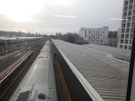
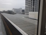
I took these pictures of the new bridge at Motspur Park station.
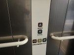
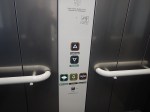

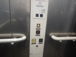
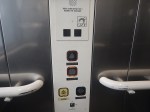
Note.
- The two-button lift controls. Would they be faster if single-button?
- I am surprised that solar roofs weren’t fitted as at Denmark Hill station.
- The station must be the only station in London with an island platform and three lifts. See Picture 6.
- PPicture 6 also clearly shows a ticket machine on the platform, which serves both entrances.
It certainly looks to be a comprehensive job well done.
‘No Constraints’ On Clapham Junction Tube Extension
The title of this post, is the same as that of this article on the BBC.
This is the sub-heading.
There are no physical restrictions to extending the Northern line to Clapham Junction, an investigation has found.
These are the first three introductory paragraphs.
In a new report, Wandsworth council said there were “no engineering or geological constraints” that would prevent an extension.
The council is now carrying out a public consultation to see whether there is strong local support for the extension.
Clapham Junction, one of London’s busiest stations, is home to the Overground and National Rail services.
The Current State According To Wikipedia
This Wikipedia section, says this about the current state of the extension to Clapham Junction station.
Provision has been made for a future extension of the Northern line to Clapham Junction station, with a reserved course underneath Battersea Park. During the public inquiry into the extension in 2014, the inspector noted that although an extension to Clapham Junction would be desirable, it was unnecessary to meet the needs of the Vauxhall Nine Elms Battersea regeneration area. Additionally, it was noted that an extension to Clapham Junction could overwhelm the extension, due to the high demand.
As part of consultations into Crossrail 2 in 2014, the developer of the Battersea Power Station site suggested that Battersea could be the location of a station instead of at King’s Road Chelsea. This would provide a link between the area and Clapham Junction station. Despite the proposal for the future Crossrail 2 project to serve the station, local residents and politicians have continued to request a future extension of the Northern line to Clapham Junction. In March 2023, Mayor of London Sadiq Khan stated that the “case for an extension is not readily apparent, given Clapham Junction’s existing high levels of connectivity”.
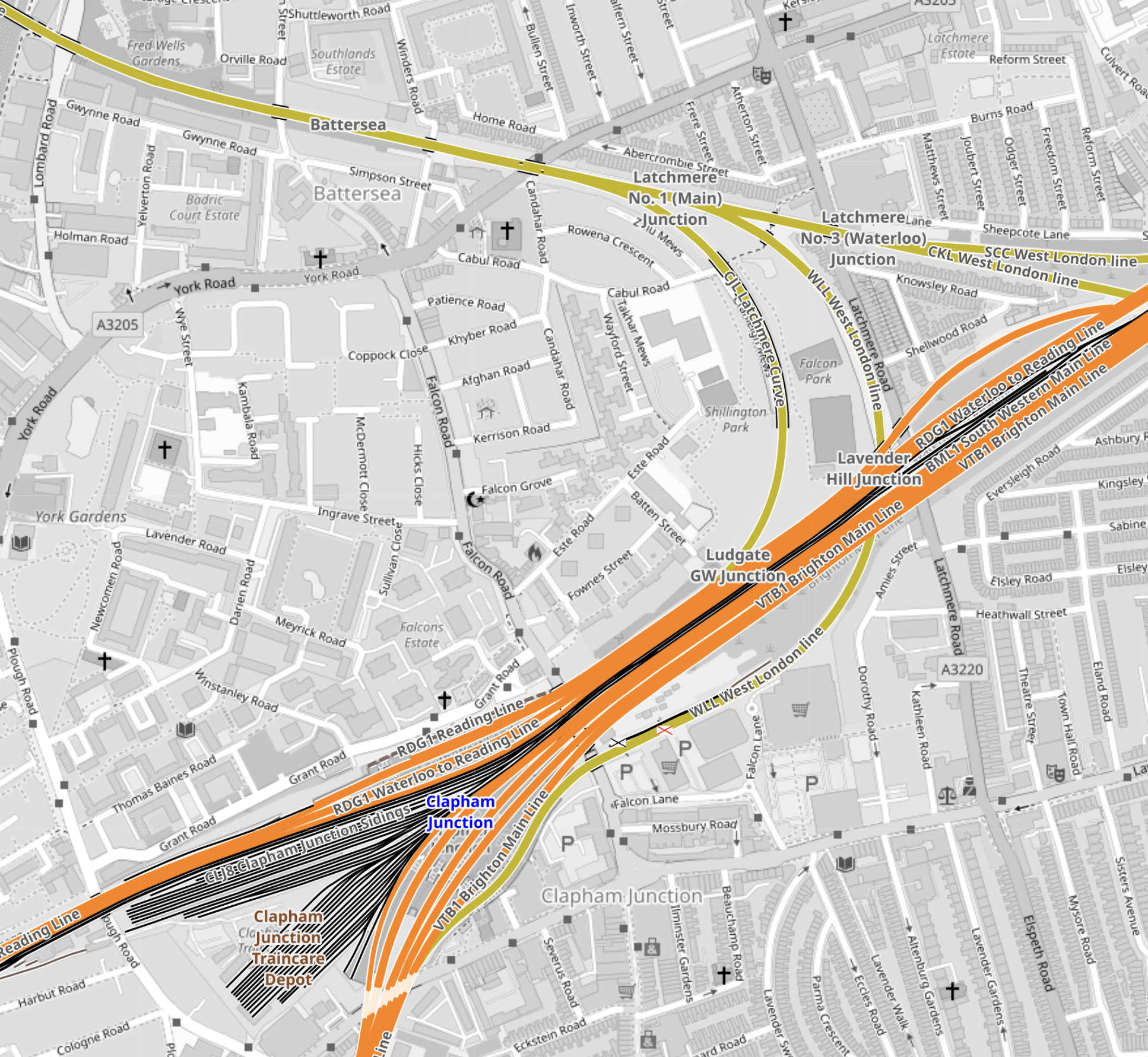
This map from OpenRailwayMap shows the railways that lie between Battersea Power Station and Clapham Junction stations going via Battersea Park.
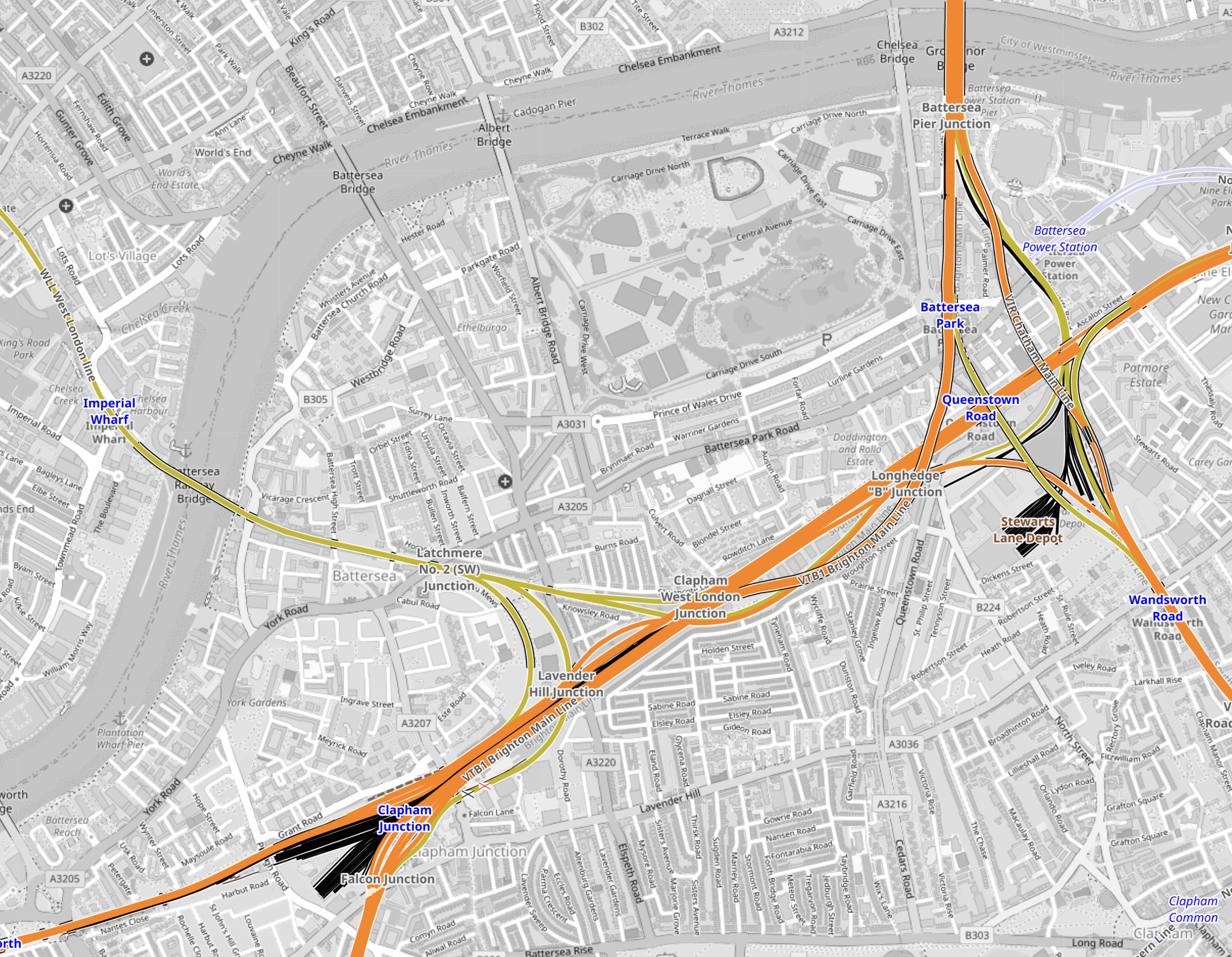
Note.
- Battersea Power Station station is in the North-East corner of the map.
- Clapham Junction station is in the South-West corner of the map.
- The rounded D-shape by the river is the Children’s Zoo in Battersea Park.
Going via Battersea Park is a rather roundabout and long route.
High Speed One and High Speed Two tunnels have and are being bored under existing railways.
This map from OpenRailwayMap shows the railways that lie between Battersea Power Station and Clapham Junction stations.
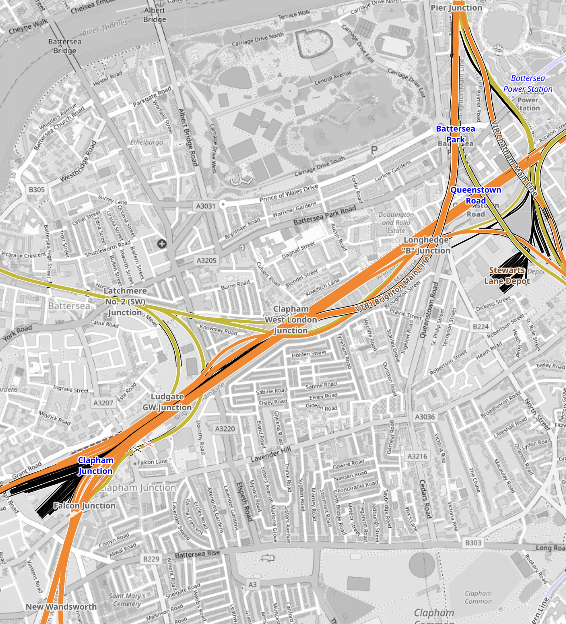
Note.
- Battersea Power Station station is in the North-East corner of the map.
- Clapham Junction station is in the South-West corner of the map.
- The main line between Waterloo and Clapham Junction stations runs diagonally across the map.
- Branching North from this line is the line between Victoria and Clapham Junction stations.
Could an Underground sized railway be bored between Battersea Power Station and Clapham Junction stations?
This map from OpenRailwayMap shows the railways around Battersea Power Station station.
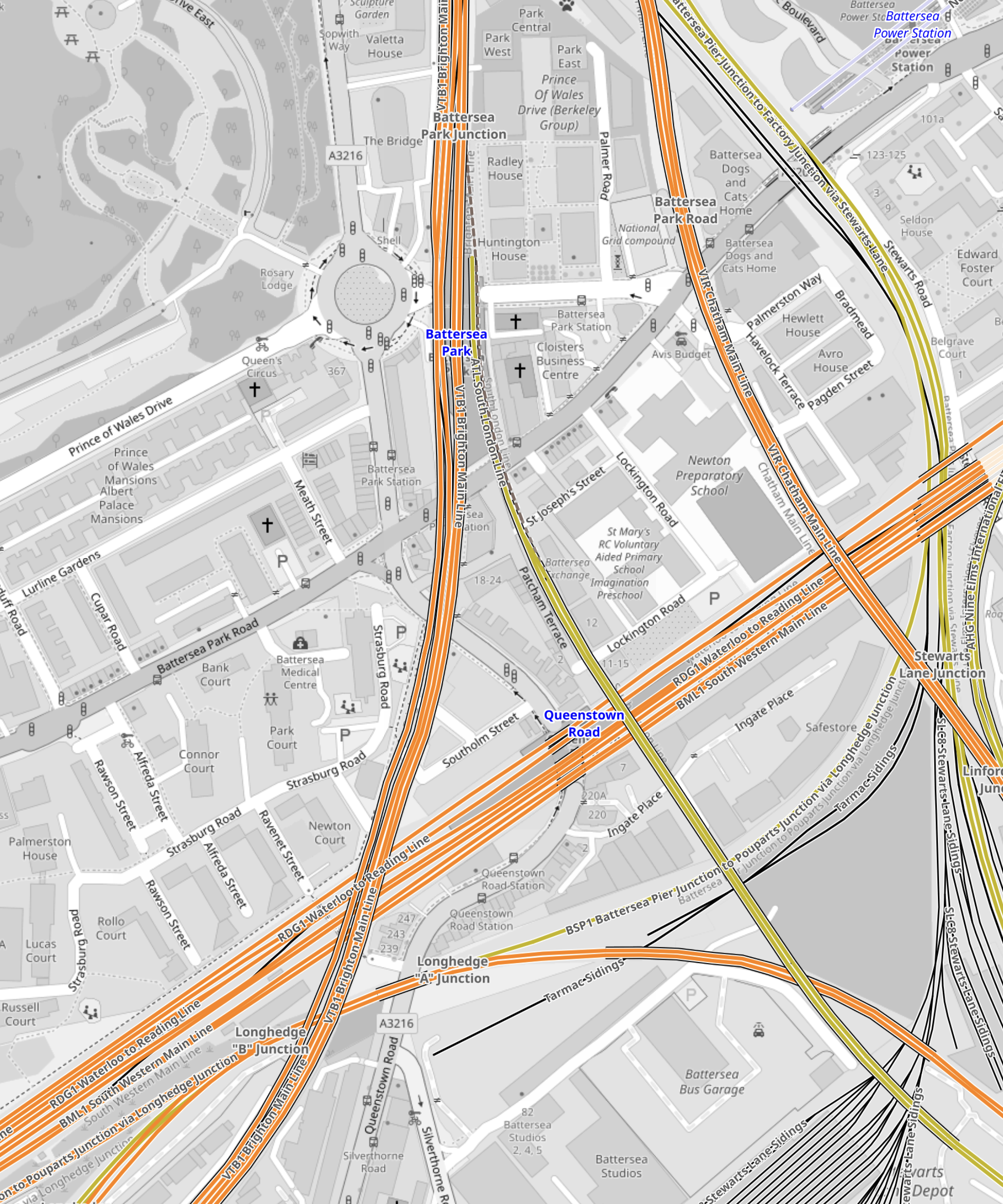
Note.
- Battersea Power Station station is in the North-East corner of the map.
- The orange line going North-South is the line between Victoria and Clapham Junction stations.
I suspect if they used the Irish Tunnelling Method or hand digging, as was used recently at Bank, twin tunnels could be dug from Battersea Power Station station to deep under the Waterloo and Clapham Junction line.
This map from OpenRailwayMap shows the railways around Clapham Junction station.
Note.
- Clapham Junction station is in the South-West corner of the map.
- Two deep underground platforms for the Northern Line would be built to the North-East of Clapham Junction station.
- Escalators and lifts would transfer passengers to and from the existing platforms.
- I suspect the Victorian infrastructure is fairly simple and elegant escalators can be threaded through, as they have been at London Bridge station.
I believe that a modern spectacular interchange can be built at Clapham Junction station to connect the National Rail lines with the Northern Line extension at Battersea Power Station station.
Why The Elizabeth Line Must Be Extended To Ebbsfleet International
There are various plans to link the Elizabeth Line to Ebbsfleet International.
In Elizabeth Line To Ebbsfleet Extension Could Cost £3.2 Billion, I showed this map from the Abbeywood2Ebbsfleet consultation.
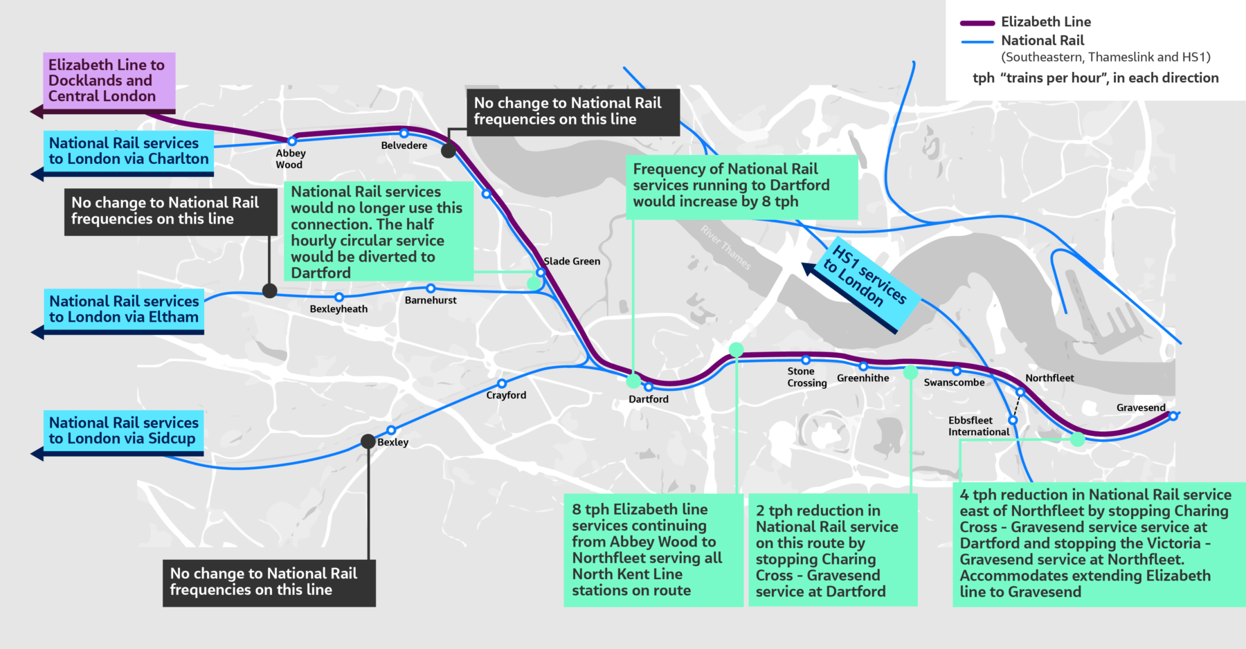
There doesn’t appear to be too much new infrastructure, except for a proper connection between Northfleet and Ebbsfleet stations. References on the Internet, say that the similar-sized Luton DART connection at Luton Airport, cost around £225 million.
The Elizabeth Line connects to the following.
- Bond Street
- Canary Wharf
- City of London
- Farringdon for Thameslink
- Heathrow Airport
- Old Oak Common for High Speed Two
- Liverpool Street station
- Oxford Street
- Paddington station
- Slough for Windsor
- Tottenham Court Road for the British Museum, Oxford Street, Soho, Theatreland and the Underground.
- West End of London
- Whitechapel for the Overground and Underground
For many people like me, the Elizabeth Line at Ebbsfleet will provide one of the quickest ways to get to and from European trains.
High Speed Two Services
This diagram shows High Speed Two services, as they were originally envisaged before Phase 2 was discontinued.
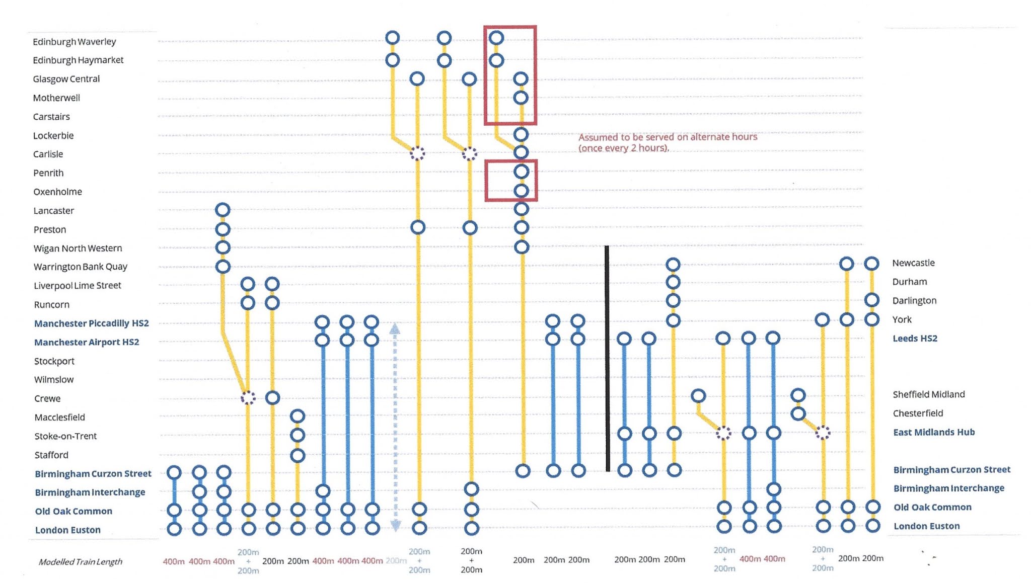
Note.
- Trains to the left of the vertical black line are Phase 1 and those to the right are Phase 2.
- Full-Size trains are shown in blue.
- Classic-Compatible trains are shown in yellow.
- The dotted circles are where trains split and join.
- In the red boxes routes alternate every hour.
- Was Lancaster chosen as it’s close to the new Eden Project Morecambe?
Click on the diagram to enlarge it.
Destinations served by the current foreshortened High Speed Two or High Speed Two Lite will be.
- Birmingham Curzon Street
- Birmingham Interchange
- Carlisle
- Carstairs
- Crewe
- Edinburgh Haymarket
- Edinburgh Waverley
- Glasgow Central
- Lancaster
- Liverpool Lime Street
- Lockerbie
- Macclesfield
- Manchester Airport
- Manchester Piccadilly
- Motherwell
- Oxenholme
- Penrith
- Preston
- Runcorn
- Stafford
- Srockport
- Stoke-on-Trent
- Warrington Bank Quay
- Wigan North Western
- Wilmslow
That is twenty-five stations.
I would add these extra stations.
- Bangor
- Blackpool
- Chester
- Holyhead
- Llandudno Junction
- Wrexham
Note.
- These extra six stations would make High Speed Two, a line for more of the people.
- Because the Eastern leg is cancelled, the paths that would have served that leg can be used to provide services for the West of the country.
The East of the country could be served by updating the East Coast Main Line.
The Development Of Eurostar
Consider.
- Eurostar and Thalys have now merged and I can see them providing extra direct services between London and Europe.
- Bordeaux, Cologne, Frankfurt and Geneva have been mentioned as possible destinations.
- Most of the new destinations, will be served by extending current services from Amsterdam, Brussels and Paris appropriately.
But to cope with the extra numbers of passengers, there will have to be extra passenger capacity at St. Pancras and/or Ebbsfleet International.
High Speed Two And Continental Services
Currently, if you want to go from the North of England or Scotland to the Continent, you do one of the following.
- Take a train to King’s Cross and walk across to St. Pancras International.
- Take a train to St. Pancras and walk to the International section of the station.
- Take a train to Euston and walk or take a bus, taxi or Underground to St. Pancras International.
Note.
- Passengers from North Wales take the Euston route.
- Some passengers will take an Elizabeth Line train to Farringdon and then take Thameslink to St. Pancras International.
- Passengers arriving at Paddington on Heathrow Express will probably take a taxi to St. Pancras International.
- Passengers arriving at Paddington on a budget will probably take the Underground to St. Pancras International.
For Londoners and those travellers, who know London well, the routes to St. Pancras International, are not to bad but they could be better.
If the current foreshortened High Speed Two or High Speed Two Lite finishes at Old Oak Common station, passengers will have to use the following routes for their onward journey.
- Elizabeth Line
- Great Western Railway – local services.
- Heathrow Express
- North London Line of the London Overground, or whatever the Mayor at the time calls it.
If the full High Speed Two or High Speed Two Lite finishes at Euston station, passengers will have to use the following routes for their onward journey.
- Avanti West Coast
- Circle, Hammersmith & City and Metropolitan Lines
- London North Western – local services
- Northern Line
- Victoria Line
- Watford DC Line of the London Overground, or whatever the Mayor at the time calls it.
These routes will be in addition to those at Old Oak Common station.
There will be two routes between High Speed Two and St. Pancras International station.
- Passengers arriving at Old Oak Common will take an Elizabeth Line train to Farringdon and then take Thameslink to St. Pancras International.
- Passengers arriving at Euston will walk or take a bus, taxi or Underground to St. Pancras International.
I am not sure that either route will have enough capacity, if High Speed Two attracts a large number of passengers.
Extend High Speed Two To Euston
I believe that this is essential, as it improves the connectivity greatly, at the bottom end of High Speed Two, as several Underground Lines will be connected to High Speed Two.
Extend The Elizabeth Line from Old Oak Common To Ebbsfleet International
I believe this too is essential, as it gives the North of England and Scotland, the connection to the Continent that they need.
There could be cross-platform connections at both Old Oak Common and Ebbsfleet International between the Elizabeth Line and the high speed lines.
Conclusion
Politicians should stop the dithering and act to give the UK, the rail connection it needs up and down the country and to the Continent.
