My 78-Year-Old Legs Are More Reliable Than The New Chinese Buses On London’s 141 Bus Route
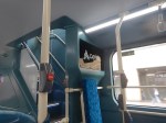
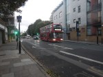
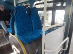
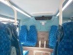
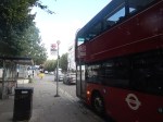
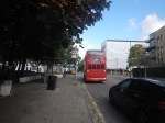
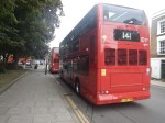
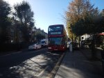
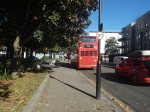
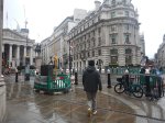
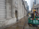
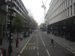
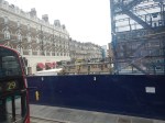
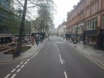
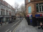
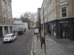
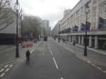
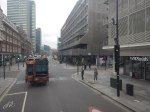
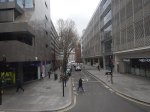
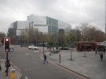
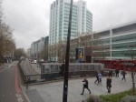
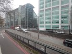
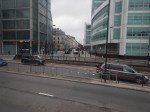
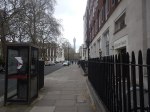
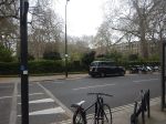
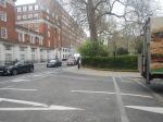
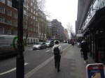
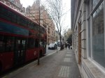
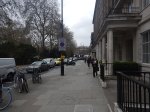
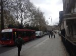
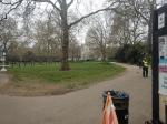
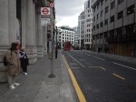
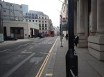
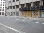
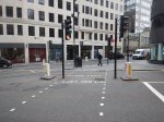
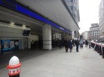
So we all know what we’re talking about, here’s a few pictures.

Note.
- The buses seem to have no serious faults from a passenger point of view.
- One middle-aged lady on the plump side, said she didn’t like the buses.
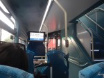
- The aisle between the front seats doesn’t seem to be built for large people.
- The seats are reasonably comfortable.
- One morning, I stood on a long journey and I felt the road-holding wasn’t as good as a New Routemaster.
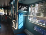
- On several buses, the interior route display has not been working.
- As I don’t wear a watch, I find a non-working display annoying.
- I haven’t been upstairs yet.
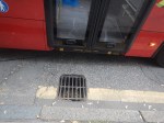
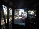
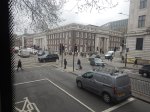
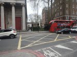
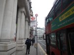
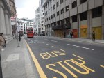
- As picture numbers three and four show, the bus looks a bit pokey at the back downstairs.
But I am very suspicious about the buses’s reliability or ability to handle the route, which is fairly long.
Take this morning, when I was coming home from London Bridge station.
- There was only a 43 bus at the shared stop with the 141 bus.
- As the routes are identical until Old Street station, I took the 43 bus to Moorgate station.
- At Moorgate station, I took a 76 bus, which gets me within walking distance of where I live.
- Someone said, that a 141 bus would mean a wait of ten minutes.
- In the end my 78-year-old legs delivered be home.
I didn’t see a 141 bus going my way on my journey.
I have seen behaviour like this several times, since some Chinese electric buses were introduced on to the route.
As a graduate Electrical and Control Engineer, it looks to me, that there is one of two problems with these buses.
- The batteries aren’t large enough for the route.
- Not enough time is allowed for charging the batteries at the end of the route.
This page on the Wrightbus website is entitled Wrightbus Electroliner ‘Most Efficient Double-Deck Battery-Electric Bus’, and it contains this paragraph, which probably explains their philosophy and ambition.
We have already gained a strong reputation for our hydrogen double deck but we want to lead the world in zero-emissions full stop. Wrightbus has the best brains in the business when it comes to technology and our StreetDeck Electroliner puts us squarely at the front of the pack. We haven’t weighed the bus down with a high battery volume just so we can say it’s got the most power or range; instead, we’ve made it the most efficient vehicle on the road by combining optimum power with a class-leading rapid charge, meaning our electric bus spends more time on the road than any other.
It also probably sets a very high bar, which the Chinese can only achieve by adding battery volume and making their buses pokey.
To be fair to the buses, the 141 route is probably nearly 20 miles long.
In Sutton Station To Gatwick Airport By Hydrogen-Powered Bus, I wrote about what it says in the title.
In that post, I said this about hydrogen buses running on the 141 route.
Wrightbus Hydrogen Buses For My Local Bus Route 141
Consider.
- The 141 bus route is my local bus, which gets me to Moorgate, Bank, London Bridge and Manor House.
- The length of the full route is twenty miles and it takes about an hour to go from London Bridge station to Palmers Green.
- The route is currently run by older Wrightbus hybrid diesel-electric buses.
- I suspect that modern hydrogen buses could last almost all day on one fill of hydrogen, with perhaps a top-up at lunchtime.
They would have no difficulty handling the route and would greatly increase the customers current rock-bottom satisfaction.
I am sure, they would improve the horrendous reliability of the route.
I also wonder, if Wrightbus have another solution.
In UK Among Tri-Axle Zero-Emission Wrightbus StreetDeck Prospects, I talk about Wrightbus’s new Tri-Axle Zero-Emission Wrightbus StreetDeck bus and how it would be ideal for the 141 bus route.
- The 141 bus route is the old 641 trolleybus route, so all clearances are generous.
- The tri-axle design can probably carry a better-optimised battery.
- There used to be two bus routes on the route and now there is only one, so more capacity is needed.
- The 141 bus route bridges the gap between the Northern section of the Piccadilly Line and the Elizabeth Line, Bank and London Bridge.
- The new air-conditioned Piccadilly Line trains, will increase the passengers on the line.
- There will be a lot more housing built in Enfield, at the Northern end of the Piccadilly Line and more bus capacity will be needed between Manor House and the City of London.
Some of TfL’s rerouting of buses in North London, was a crime against mathematics.
Did Plans For Crossrail Ever Include A Station At Holborn?
I have only one North-South bus route, where I live.
The 141 bus connects Palmers Green and London Bridge station.
- The 141 bus was the replacement for the 641 trolley bus, which was the main link between Wood Green, Turnpike Lane and Harringay, and the City of London, when I was a child.
- The vehicles are up to ten years old Wrightbus diesel hybrids.
- The route suffers badly from overcrowding as it connects, Bank and Moorgate stations in the City of London, with the outer reaches of the Piccadilly Line.
The overcrowding on the 141 bus route has got worse in the last couple of years because of the following.
- The rebuilding of London Bridge station brought more passengers to the 141 bus route.
- The opening of the new London Bridge bus station at London Bridge station has improved access to the buses at London Bridge station.
- The improvement of the connection of the buses to the Docklands Light Railway, Central Line and Northern Line at Bank station.
- The opening of the Battersea branch of the Northern Line, which brings more passengers to Bank station.
- The opening of the new Cannon Street entrance to Bank Underground station.
- The opening of the Elizabeth Line through Moorgate station.
- Recently, a new walking route between Moorgate and Liverpool Street was opened, which will bring more passengers to the buses on Moorgate.
- The rebuilding of Old Street station brought more passengers to the 141 bus route.
So what was the response of the Mayor and Transport for London, to all this increase of passenger numbers?
The 21 bus, which shadowed the 141 route, and doubled the number of buses through where I live, was moved to serve Holloway.
It was a big crime against mathematics and the wishes of our long-serving Labour MP; Meg Hillier.
So to handle many more passengers between London Bridge station and Newington Green through the City of London, the number of buses was halved.
I believe that the overcrowding will get worse because of the improvements, that Transport for London have planned.
- The Piccadilly Line will be getting new air-conditioned trains within a couple of years and these will inevitably attract more passengers to the line.
- On the other hand the air-conditioning may persuade passengers to use the Piccadilly Line more than they do now. Instead of changing to the 141 bus at Manor House station, passengers could change at Finsbury Park, King’s Cross St. Pancras or Holborn stations for other routes to the City of London.
- The third line to receive the new air-conditioned trains will probably be the Central Line, which would create another East-West air-conditioned line and bring more passengers to Bank station.
- The Central Line could give some relief for the buses through Bank, if an extra station was built on the Central Line to interchange with Shoreditch High Street station on the East London Line of the London Overground.
- The fourth line to receive the new air-conditioned trains will probably be the Waterloo and City Line, which would create another air-conditioned line and bring more passengers to Bank station.
- It is likely, that more services will be added to the Elizabeth Line, which will bring more passengers to Moorgate station.
- It is likely, that more services will be added to the Northern City Line, which will bring more passengers to Moorgate station.
- The Mayor is also planning to pedestrianise Oxford Street, which may fill up the Central Line with extra passengers.
It looks to me, that there will be a need for a large increase of bus capacity through the City of London on a North-South axis.
On the other hand, the City of London have stated that they will pedestrianise many of their streets.
So what can be done to avoid gridlock in the City of London?
Develop The Northern City Line At Moorgate
I use this route regularly to and from Moorgate station.
- It already has new Class 717 air-conditioned trains.
- The route is already digitally signalled in conjunction with the East Coast Digital Programme.
- It has two platforms at Moorgate station.
- Highbury & Islington station has interchanges with the Victoria Line and the North and East London Lines of the London Overground.
- Finsbury Park station has interchanges with the Victoria Line and National Rail services.
- Bowes Park station has an out of station interchange with Bounds Green station on the Piccadilly Line.
- Step-free access needs improving.
- The Victorians had plans to extend the line to Lothbury near Bank station.
If the Northern City Line could handle more passengers, would passengers get to all parts of the City of London by changing at Finsbury Park and walking from Moorgate or Old Street stations?
I regularly go between my house and Moorgate, by taking a bus to Essex Road station and using the Northern City Line.
I believe that with improvements on the Northern City Line, the line could be turned into a very valuable part of London’s rail infrastructure.
Connect The Central Line And The East London Line At Shoreditch High Street Station
I wrote about this proposal in Will Shoreditch High Street Be Connected To The Central Line?
The Elizabeth Line needed to be completed before this could be started.
Build The Western Extension Of The Docklands Light Railway
I wrote about this proposal in The Bank Station Upgrade And The Western Extension Of The DLR.
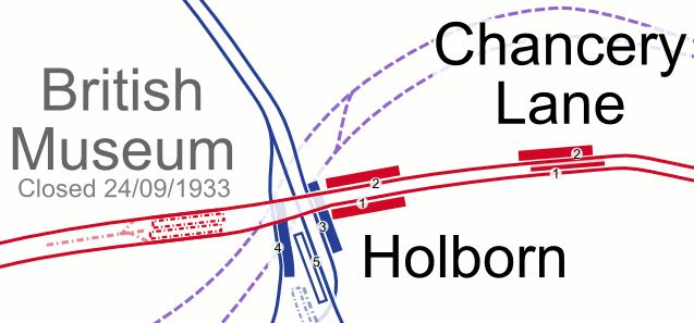
Rebuild Holborn Station
The interchange between Piccadilly and Central Line at Holborn station is difficult to say the least.
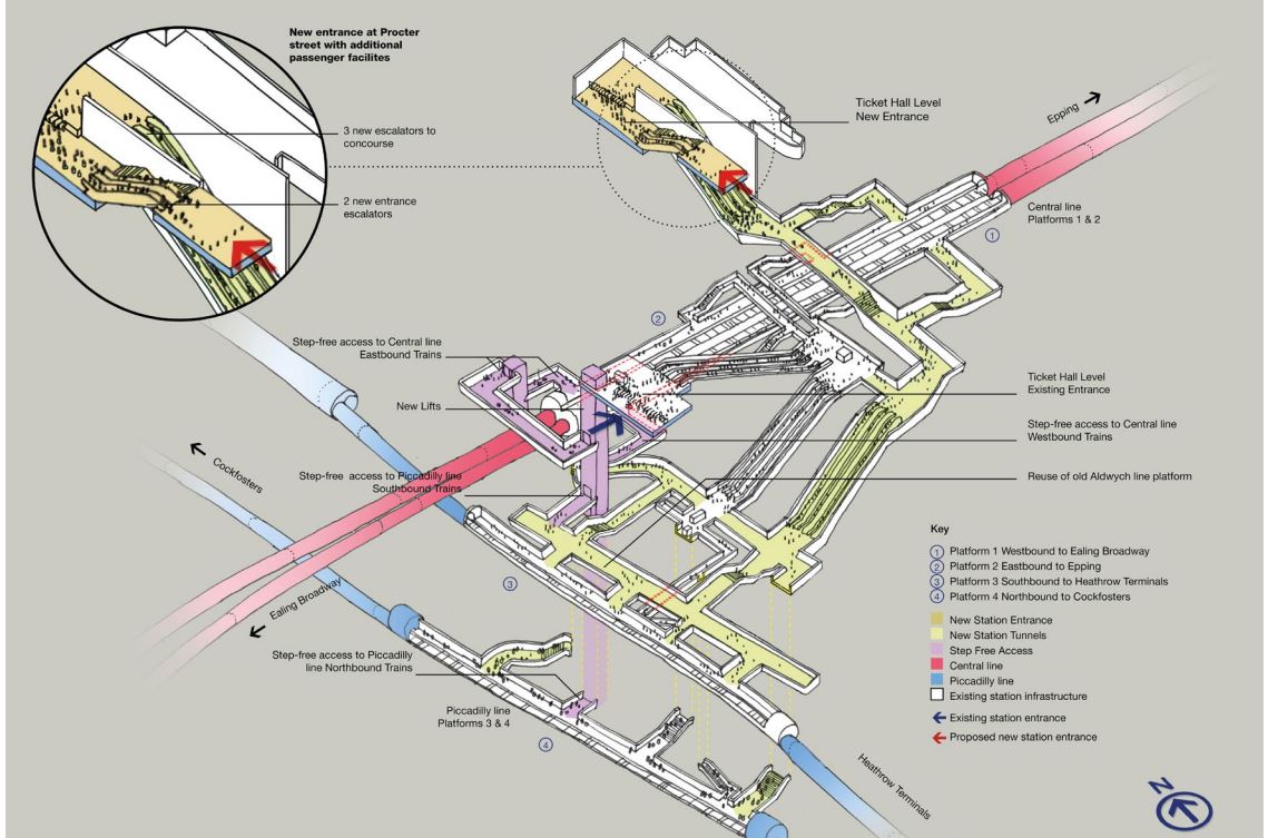
Holborn station is being extended with a new entrance. As with Euston, I suspect it has been designed with a feasible place for DLR platforms to be added.
This document on the TfL web site, gives more details of what is proposed at Holborn station.
I extracted this visualisation of the proposed station.
This map from carto.metro.free.fr shows the lines in the through and around the station.
.Note, the Elizabeth Line, which is shown by dotted lines passes to the North of the station.
Conclusion
Not all these improvements need to be done, but each would improve transport in the City of London.
Are There Any Plans For The Bay Sub-Surface Platforms At Moorgate Station?
I use Moorgate station regularly, as there’s a Leon Restaurant just outside the station, that looked after me properly during the Covid-19 Pandemic, so when I’m in the area and need feeding I pop in.
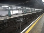
These pictures show the four bay platforms on the Sub-Surface lines.
Note.
- The pair of platforms to the left or South are numbered 5 and 6 and used to handle Thameslink trains, that ran to Moorgate station.
- Platforms 5 and 6 used to be electrified with 25 KVAC overhead wires.
- The pair of platforms to the right or North are numbered 3 and 4 and are used to terminate some Metropolitan Line services at Moorgate station.
- Platforms 3 and 4 are electrified with London Underground four-rail electrification.
- The number for Platform 4 can clearly be seen.
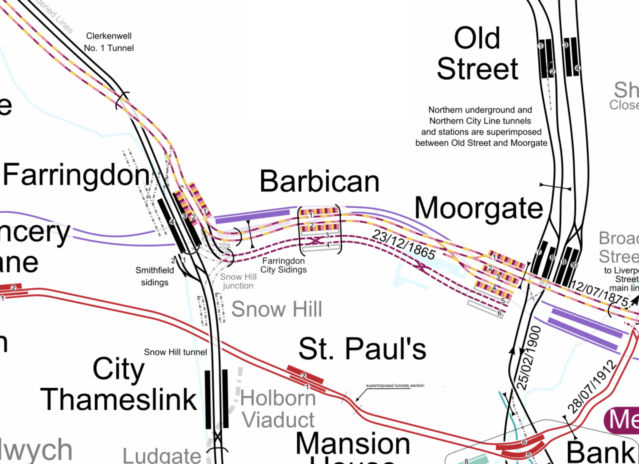
This map from cartometro shows the track layout in Farringdon, Barbican and Moorgate stations.
Note.
- The multi-coloured tracks and platforms of the Metropolitan, Circle and Hammersmith & City Lines running through Platforms 1 & 2 at Farringdon, Barbican and Moorgate stations.
- The multi-coloured tracks and platforms of the Metropolitan, Circle and Hammersmith & City Lines terminating in Platforms 3 & 4 at Moorgate station.
- The purple tracks and platforms of the Elizabeth Line running underneath the Metropolitan, Circle and Hammersmith & City Lines and their stations.
- The maroon and white tracks and platforms of Thameslink running through Platforms 3 & 4 in Barbican station and terminating in Platforms 5 & 6 at Moorgate station.
- The black tracks of Thameslink running through Farringdon and City Thameslink stations.
- It would appear there used to be two junctions to allow trains from Moorgate to go North through Farringdon station or South through City Thameslink station.
- The Thameslink tracks have two useful crossovers.
- The black tracks of the City branch of the Northern Line running through Old Street, Moorgate and Bank stations.
- The black tracks of the Northern City Line running through Old Street station and terminating in Moorgate station.
- The red tracks of the Central Line running through Chancery Lane, St. Paul’s and Bank station.
Because of the layout of the various tracks new connections and improvements may be possible.
Extending The Northern City Line To Bank Station
In Walking Along Moorgate – 30th September 2020, I describe some of the possibilities opened up by the design of Moor House, which has been built to allow more tunneling underneath.
I believe two extensions South from Moorgate station would be possible.
- It was intended by the builders of the Northern City Line, to take the route to just North of Bank station at Lothbury.
- Has The Possibility Been Created For A Pedestrian Tunnel Between Bank And Moorgate Stations?
Note.
- As the extension to Bank station has dug tunnels all over the place, I would expect that the engineers on that project would have a good idea on the best way to connect Moorgate and Bank stations.
- I usually use the Northern Line between Moorgate and Bank stations, but sometimes the Northern Line is rather crowded.
- The Northern City Line is being resignalled and may have an increased number of trains, so more passenger capacity may be needed.
- If a new station were to be built at Lothbury, it might be possible to improve step-free access to the Northern City Line.
- A new station on the Northern City Line and a pedestrian tunnel could connect to the newly-installed travelator at Bank station.
There are certainly serious possibilities to improve connections between Moorgate and Bank stations.
Could Metropolitan Line Trains Be Turned At Moorgate Station?
Currently, there are eight trains per hour (tph) between Aldgate and Uxbridge in the Off Peak.
With the new signalling on the Sub-Surface Lines would it allow more trains to operate, if some Metropolitan Line services were terminated in Platforms 3 & 4 at Moorgate station.
Would It Be Worthwhile To Run Thameslink Trains Again Into Moorgate Station?
It would only need to terminate trains from the North, as trains from the South can terminate at Black friars Station.
Perhaps a two tph service from a convenient station would suffice.
A Pedestrian Connection Between City Thameslink Station And St. Paul’s Tube Station
I covered this in A Pedestrian Connection Between City Thameslink Station And St. Paul’s Tube Station.
When Silvertown Opens, Blackwall Tolls Start Too
The title of this post, is the same as that of this article on the BBC.
This is the sub-heading.
In under a month, tolls will be introduced for drivers at the new Silvertown Tunnel and the existing Blackwall Tunnel in east London.
These four paragraphs add detail to the story.
For car drivers it will cost £8 a day in peak. These are huge changes to London’s transport network and awareness seems to be low.
The new highly controversial Silvertown Tunnel opens on 7 April.
Critics have dubbed the crossing a huge polluting white elephant that will do nothing to cut congestion and pollution with little or no business case.
Supporters say it will reduce congestion on the old, existing Blackwall Tunnel and improve resilience on the crossing that closes between 600-700 times a year. It will also provide more cross river bus routes as well as a bus that can carry bikes.
As a very experienced mathematical modeller, my gut feeling is that four new tolled lanes under the River Thames is not the solution.
These are my thoughts.
Transport for London Are Not Good Mathematical Modellers
As a non-driver, I rely heavily on the 141 bus for transport.
- It stops close to my house.
- It takes me to and from Moorgate, where I also pick up the Elizabeth Line.
- It takes me to and from Bank, where I also pick up the Central Line.
- It takes me to and from River Thames, from where I pick up the Thames Clippers.
- It takes me to and from London Bridge station, where I also pick up theThameslink.
- It takes me to and from Manor House station, where I pick up the Piccadilly Line.
- It takes me to and from Harringay Green Lanes station, where I pick up the Gospel Oak to Barking Line.
I must admit some of the reasons I like the bus route, are that it connects me to my childhood memories of WoodGreen, Southgate, Oakwood and Cockfosters.
When, I moved here, there were two North-South buses that ran within fifty metres of my house.
- The 21 bus ran between Newington Green and Lewisham.
- The 141 bus ran between Palmers Green and London Bridge station.
Then, two years ago the Elizabeth Line and the rebuilt Bank station both opened, followed a year later by an upgraded Old Street station.
These three improvements, added a lot more passengers to the North-South corridor, between London Bridge station and Newington Green roundabout.
I suspect a quality modelling of bus passengers North-South, through the city of London, would have shown, that more buses were needed on the combined 21/141 route.
So what did Sir SadIQ and Transport for London do? They rerouted the 21 bus away from the busiest section through De Beauvoir Town.
In their modelling, I suspect.
- They overestimated how many travellers used the Northern Line.
- They ignored the fact, that the Piccadilly Line doesn’t serve the City of London.
- They ignored the fact, that the Piccadilly Line doesn’t connect to the Elizabeth Line.
- They ignored the fact, that the 141 bus, is the only direct way between Palmers Green, Wood Green, Turnpike Lane and Manor House to the City of London.
- They felt De Beauvoir Town was a posh area and doesn’t need more buses, as residents can use their cars.
Halving the number of buses was a seriously bad decision.
I now have a damaged left knee due to constant standing on overcrowded buses.
It’s also got a lot worse lately due to constant bus diversions and cancellations, due to Islington’s LTNs and constant road works.
I’ve heard similar tales of bad bus planning from all over London.
So why should I trust Transport for London’s traffic modelling on the Silvertown and Blackwall Tunnels?
The Silvertown And Blackwall Tunnel Share Approach Routes
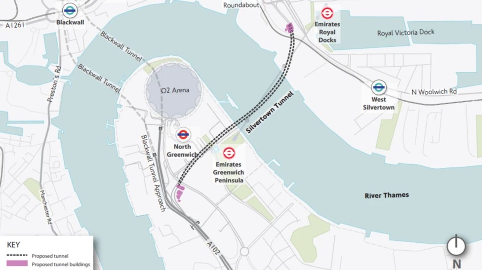
This map from the BBC article shows the layout of the two tunnels and their approach roads.
Note.
- The Blackwall Tunnel is two, two lane tunnels, one in each direction.
- The Silvertown Tunnel is one four lane tunnel, with two lanes in each direction.
- The O2 lies between the two tunnels.
The map shows the shared approach road for both tunnels.
What happens if there is an accident on the approach to the tunnels?
Tolling Problems
I feel that the tolling regime is overly complicated.
Hopefully, any problems this causes will lessen, as drivers know what to do.
The Sat-Nav Route Between The Tunnels And The M1
I’ve just looked one recommended route up, not that I have a Sat-Nav and I’ve never used one and the route is straightforward.
- Blackwall Tunnel Northern Approach to Hackney Wick.
- Wick Lane to Hackney Central.
- Graham Road and Dalston Lane to Dalston Junction
- Balls Pond Road to Southgate Road/Mildmay Park
- St. Paul’s Road to Highbury & Islington station.
- Holloway Road to Archway.
- Archway Road, Aylmer Road and Falloden Way to Henly’s Corner.
- North Circular Road and Great North Way to the M1.
I live just South of the Southgate Road/Mildmay Park junction and often these days it is jammed solid.
But there is another route from Hackney Wick.
- A12 to Redbridge Roundabout on the North Circular Road.
- North Circular Road to the M1.
I dread to see what happens, when the Dartford Crossing is closed and heavy trucks from the Channel Tunnel to the M1, decide to take the Silvertown Tunnel as an alternative route.
Connecting The Bakerloo, Elizabeth and Victoria Lines At Oxford Circus Station
To my mind it is a design fault of the Elizabeth Line, that it does not correct directly to the Victoria Line.
This OpenRailwayMap shows the various lines at Oxford Circus station.

Note.
- Oxford Street running East-West across the top of the map.
- The Central Line runs under Oxford Street.
- Regent Street running North-South down the map.
- The Bakerloo Line runs under Regent Street.
- The buff tracks running East-West are the Elizabeth Line.
- Hanover Square is above the Elizabeth Line at the Western edge of the map.
- The tracks of the Victoria Line can be picked outrunning North-South down the map.
- They pass through Oxford Circus station at the outside to give cross-platform interchange with the Bakerloo Line.
Consider.
- Oxford Circus station is not step-free.
- The Elizabeth Line entrance in Hanover Square is step-free.
I believe, as at Bank station, that a deep tunneled connection could be made between Oxford Circus station and the Elizabeth Line entrance in Hanover Square.
Note.
- It could be below the foundations of the buildings.
- A travellator might make it easier for some.
- There could even be shops, cafes and perhaps toilets in the tunnel.
There might not need to be any new street entrances to the below ground complex.
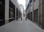
Nicholas Lane – 1st May 2023
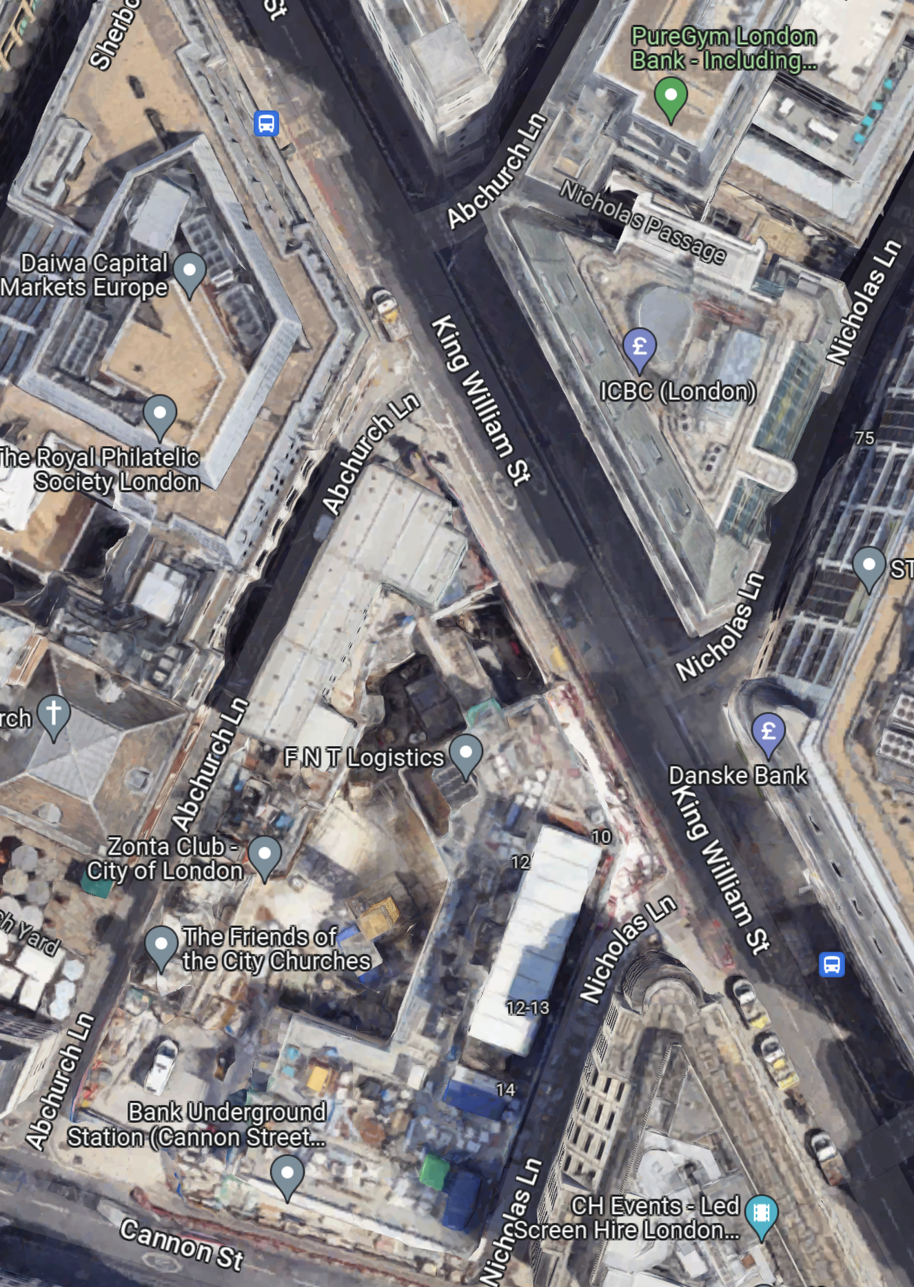
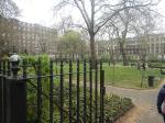
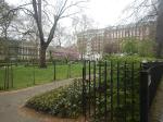
Nicholas Lane is a lane in the City of London, that runs between Cannon Street in the South and Lombard Street in the North.
This Google Map shows the lane.
Note.
- Nicholas Lane tuns diagonally across King William Street.
- Cannon Street can be seen in the South-West corner of the map.
- The new entrance to Bank station is on Cannon Street.
- Nicholas Lane runs up the side of the new station entrance.
- There are two bus stops for the 21, 43 and 141 buses on King William Street.
The bus stops are within easy walking distance of the new station entrance, if you walk along the Southern section of Nicholas Lane.
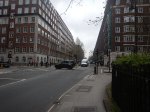
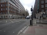
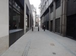
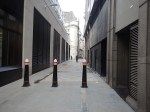
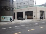
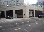
These pictures show Nicholas Lane and King William Street.
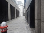

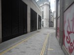
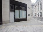
Note.
- I suspect some coffee shops or a fast food joint will appear at the King William Street end of Nicholas Lane.
- The windows on the corner could be ready to be a shop.
- In Bank Station Upgrade – 6th January 2023, I described the eight storey building, that will sit on top of the station entrance.
The lane could also a preferred route for many, who are changing at Bank station to or from the buses.
Could High Speed Two Have An Underground Station In London?
The Achievement Of The Bank Station Upgrade
This map from OpenRailwayMap shows the lines through Bank and Monument stations.
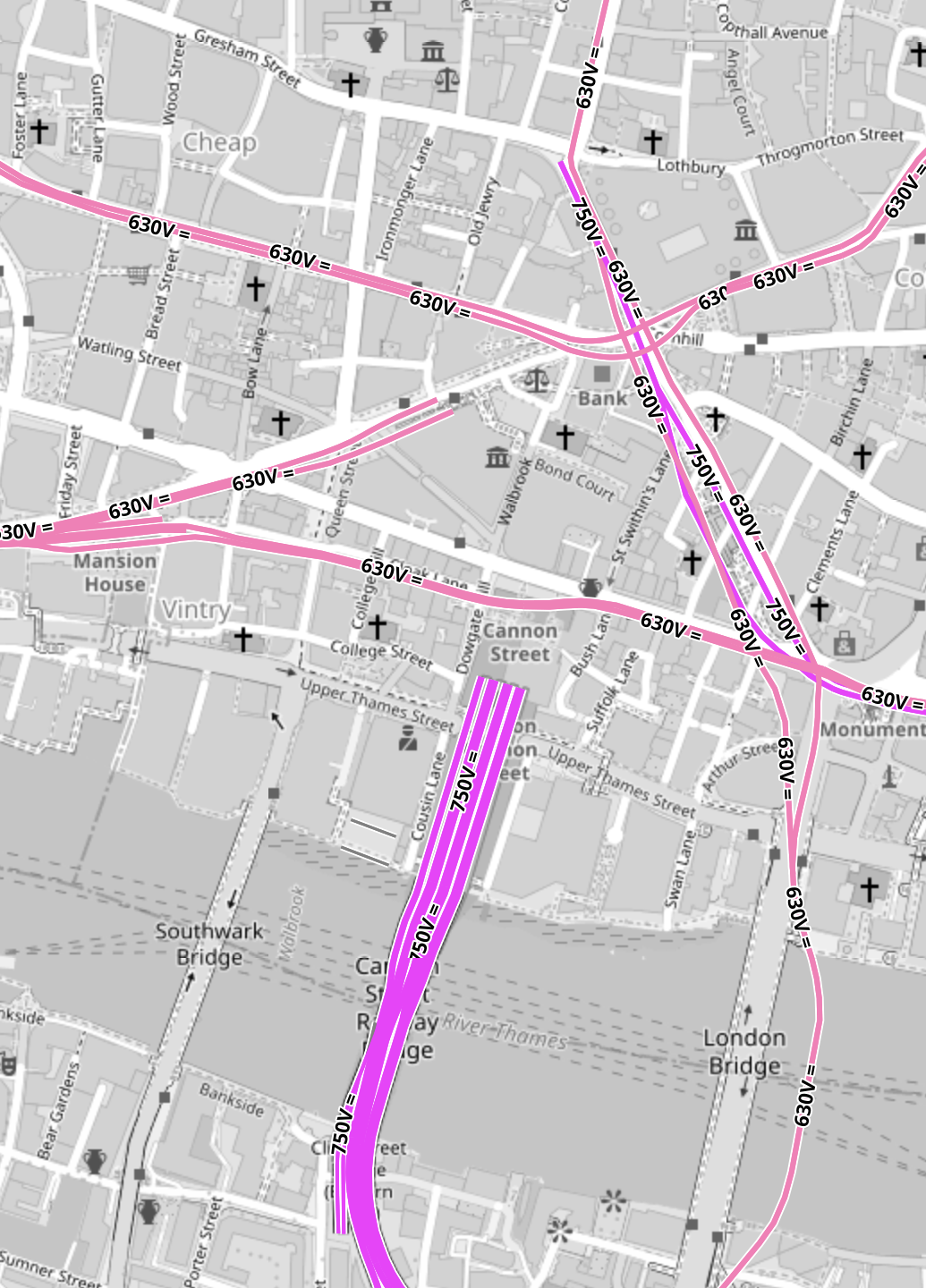
Note.
- All the pink lines are the lines of the London Underground.
- The line running alongside London Bridge is the Northern Line, which is deep under the Thames.
- The mauve lines are those with the slightly higher voltage of the UK National Rail network going into Cannon Street station.
In part of the Bank Station Upgrade, a new Southbound tunnel for the Northern Line was dug, so that the Northern Line platforms at Bank station could be farther apart.
This visualisation shows the station.
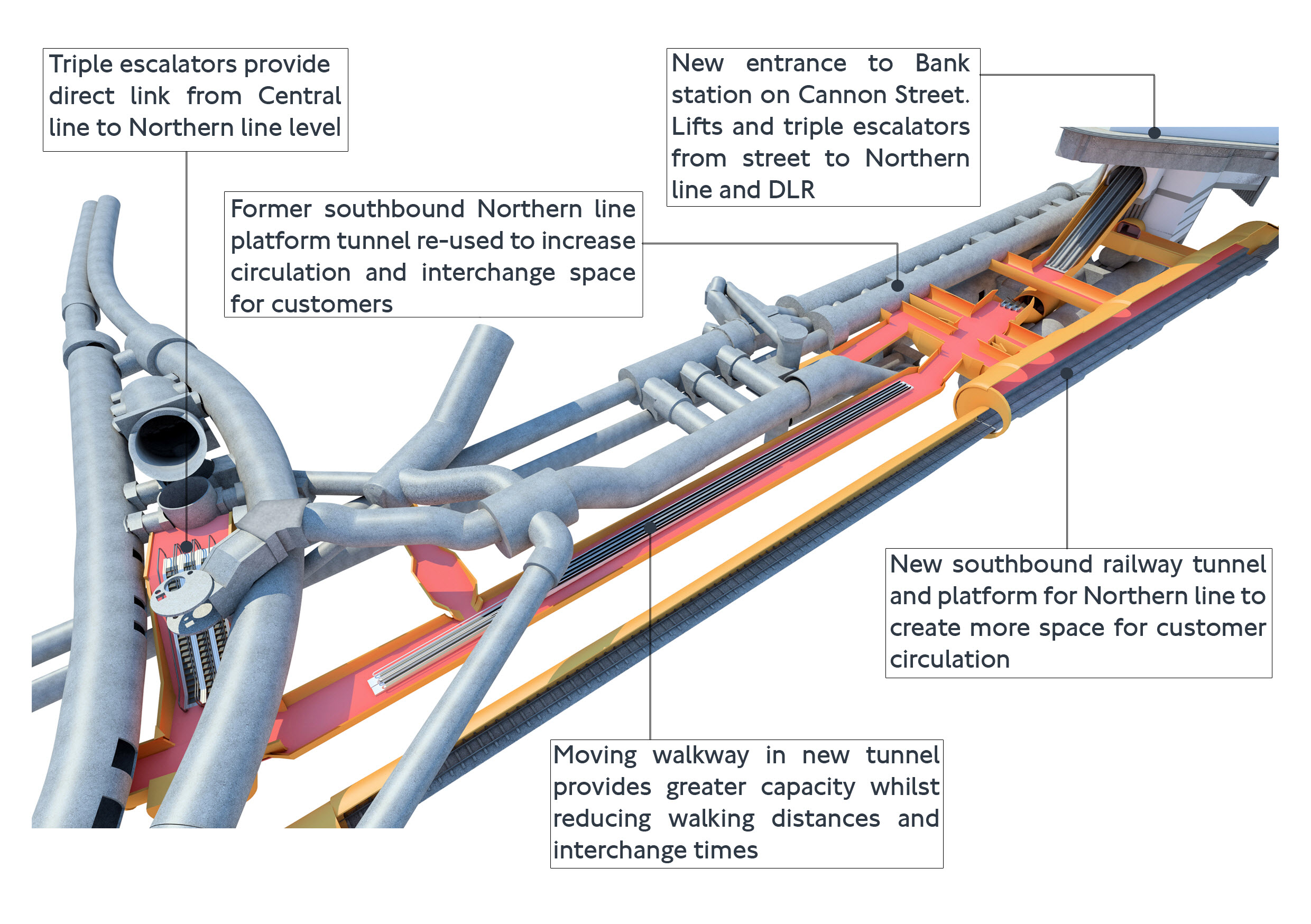
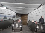
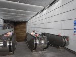
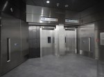
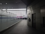
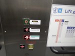
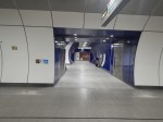
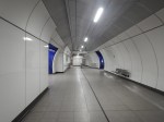
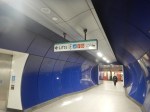
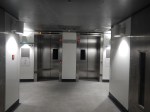
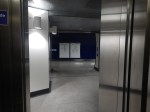
The project was an amazing demonstration of what is possible to be achieved in underground construction.
- There is a moving walkway to move passengers between the Central and Northern Lines.
- There are escalators and lifts everywhere.
It was also dug out from London’s helpful soils under scores of important buildings, many of which are listed.
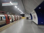
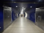
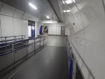
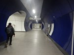
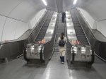
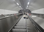
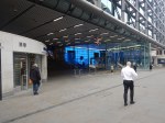
These pictures give a flavour of the underground section of the completed upgrade.


These pictures show the buildings on top of the complex.


Note.
- There is no building of any great height above the station complex.
- There are a lot of quality buildings.
- During all the work underground, I didn’t see any reports of any problems with the buildings on top.
- In How Many Entrances And Exits Does A Station Need?, I counted that the complex now has twenty entries.
It is probably a project that could be repeated elsewhere.
Camden Town, Holborn and Bond Street/Oxford Circus are probably suitable cases for treatment.
Weston Williamson’s Plan For Manchester Piccadilly Station
In The Rival Plans For Piccadilly Station, That Architects Say Will ‘Save Millions’, I wrote about Weston Williamson’s plan for Manchester Piccadilly station.
This was their visualisation.

Note.
- In the visualisation, you are observing the station from the East.
- The existing railway lines into Piccadilly station are shown in red.
- Stockport and Manchester Airport are to the left, which is to the South.
- Note the dreaded Castlefield Corridor in red going off into the distance to Oxford Road and Deansgate stations.
- The new high speed lines are shown in blue.
- To the left they go to Manchester Airport and then on to London, Birmingham and the South, Warrington and Liverpool and Wigan, Preston, Blackpool, Barrow-in-Furness, the North and Scotland.
- To the right, they go to Huddersfield, Bradford, Leeds, Hull and the North East, and Sheffield, Doncaster and the East.
- Between it looks like a low-level High Speed station with at least four tracks and six platforms.
- The Manchester Metrolink is shown in yellow.
The potential for over-site development is immense. If the Station Square Tower was residential, the penthouses would be some of the most desirable places to live in the North.
Londoners Are The Tunnel Kings
Bring On The Robots
Could High Speed Two Have An Underground Station In London?
Look at this map from OpenRailwayMap.
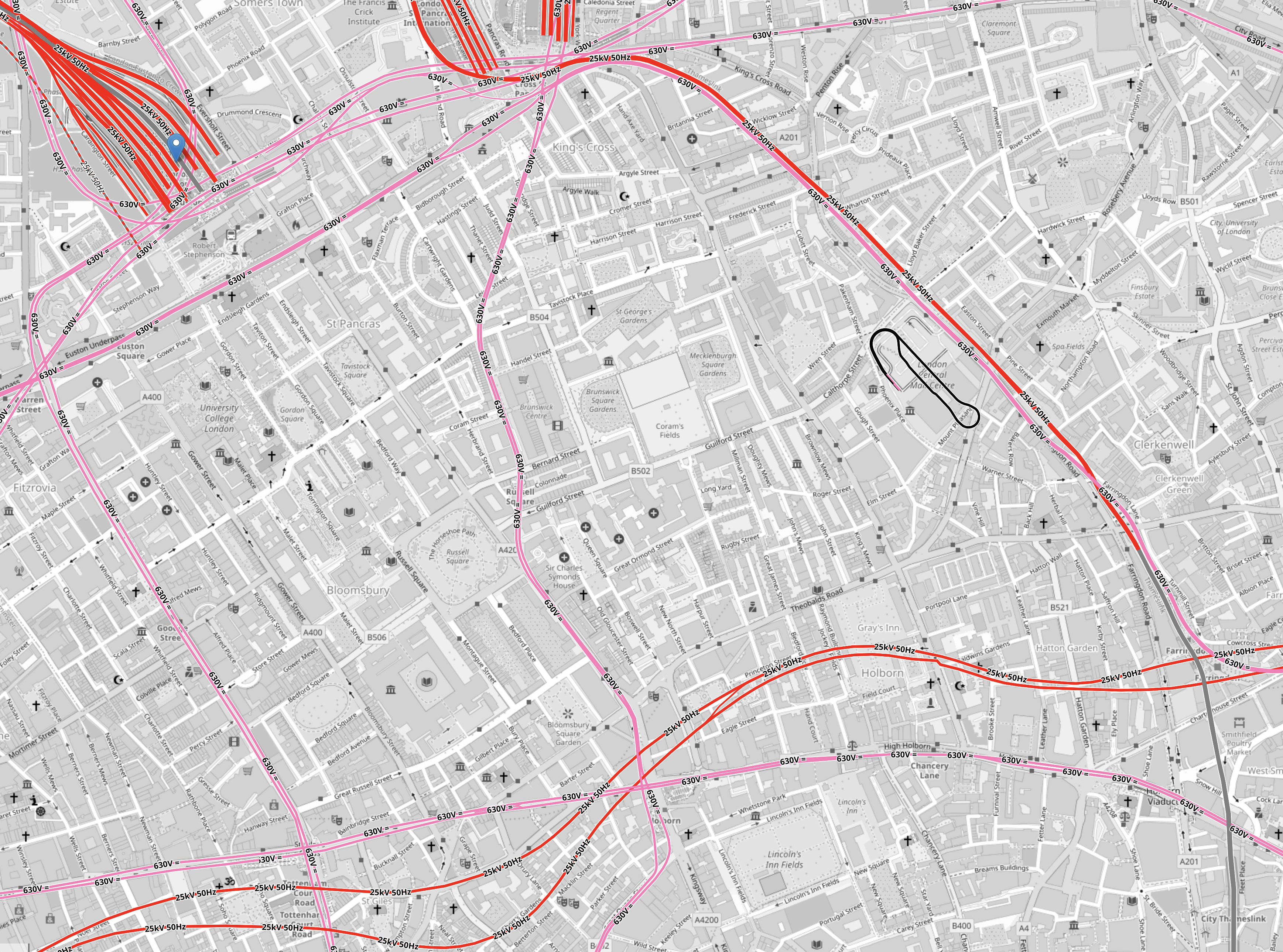
Note.
- Euston station is in the North-West corner of the map.
- St. Pancras and King’s Cross stations can just be seen at the top of the map.
- All lines shown in red have 25 KVAC overhead electrification.
- All lines shown in pink are the London Overground.
- The double track electrified railway meandering across the map from West to East is the Elizabeth Line.
- The pink line going down the middle of the map is the Piccadilly Line.
- The pink line going down the left of the map is the Charing Cross branch of the Northern Line.
There is a large square area to the South of Euston that doesn’t have any railways crossing it.
It is shown in this map from OpenRailwayMap.
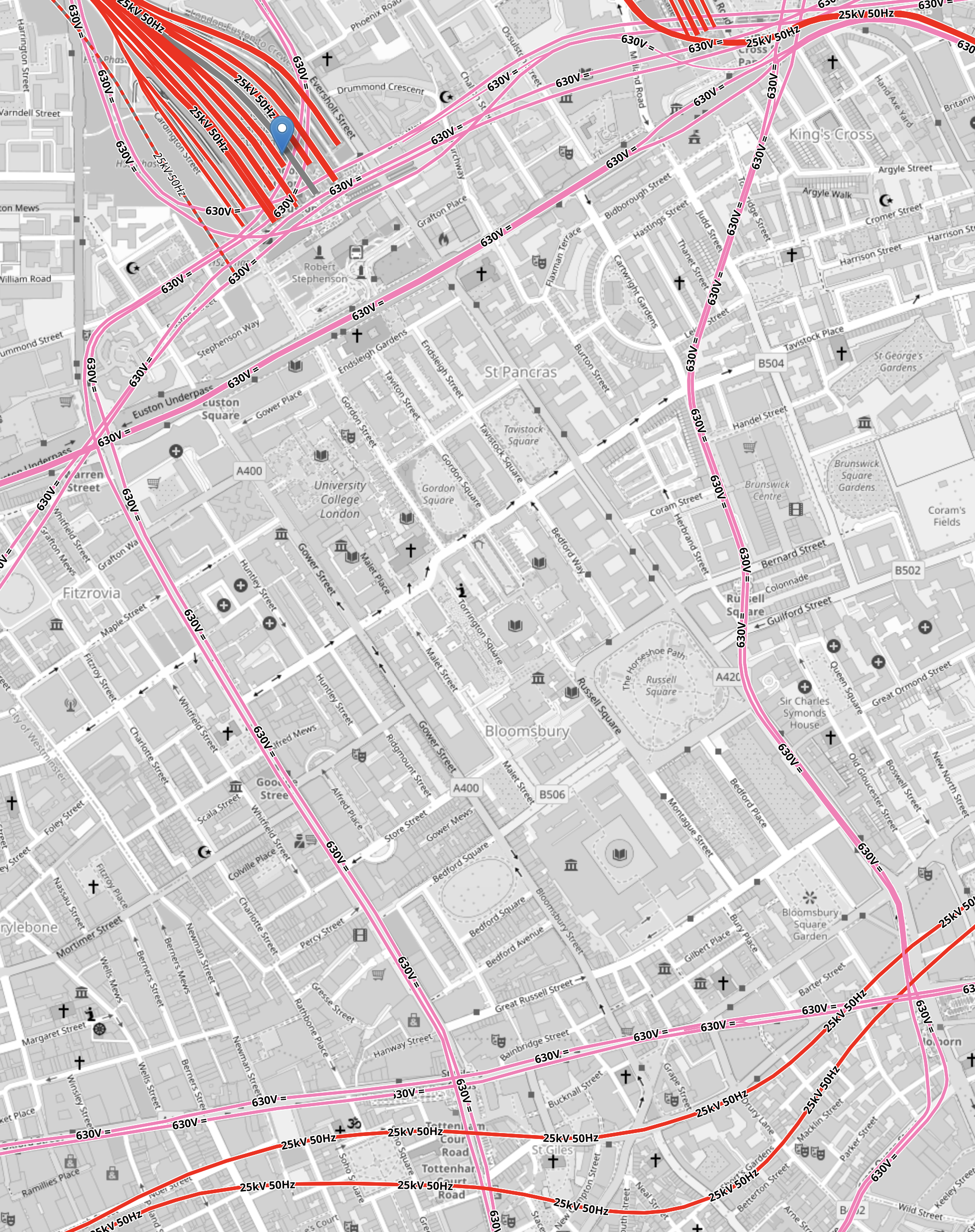
Note.
- As before, red lines have 25 KVAC overhead electrification and pink lines are the Underground.
- The Western boundary of the area is the Charing Cross branch of the Northern Line, which runs between Euston in the North and Tottenham Court Road in the South.
- The Eastern boundary of the area is the Piccadilly Line, which runs between King’s Cross in the North and Holborn in the South.
- The Northern boundary of the area is the sub-surface Circle, Hammersmith & City and Metropolitan Lines, which runs between Warren Street in the West and King’s Cross in the East.
- The Northern and Victoria Lines also run East-West to the North of the sub-surface lines.
- The Southern boundary of the area is the Central and Elizabeth Lines, which run between Tottenham Court Road in the West and Holborn in the East.
It is a substantial area.
So could it be hollowed out to create a below-ground London terminal for High Speed Two?
I got a bus from Tottenham Court Road to Euston station and then walked to Holborn, taking these pictures.
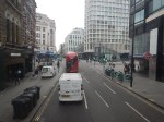
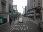


Note.
- There are only two buildings in the area with more than about six floors; University College Hospital and Senate House.
- There a lot of green spaces.
- Bloomsbury Square does have a car park beneath it.
I wonder if a terminal station could be build under the area?
- I suspect if you went fifty metres down there could be plenty of space, that could be excavated.
- Tunnels with moving walkway and escalators could link the station to the Central, Circle, Elizabeth, Hammersmith and City, Metropolitan, Northern and Piccadilly Lines.
- There would be space to have 400 metre long platforms.
- As all trains would be electric, there would be no fume problems.
- There could be lifts and escalators to the green spaces on the top.
I have a feeling that most of people living or working inside the North and South Circular Roads could get to the station by public transport with at most a single change.
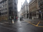
Moorgate To Charlton Via Cannon Street
I needed to go to Charlton station this morning to take a couple of photographs for a possible blog post.
- I had had my usual breakfast in LEON on Moorgate, so I started from Moorgate station.
- I took the Northern Line one stop to Bank station.
- It was then straight up the double escalators.
- I followed this by a brisk walk along Cannon Street.
The total time between entering Moorgate station and sitting on my train at Cannon Street station was about ten minutes.
One of London’s more difficult stations to access now has a North-South Underground line, to go with its East-West line.
Is The Nightmare On The Buses Going To Get Worse?
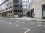
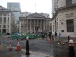
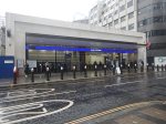
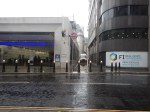
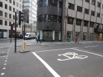
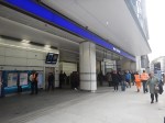
This morning after photographing the finish of the Bank Station Upgrade, I walked down the side of the new Cannon Street entrance to catch a 141 bus from King William Street to my home.

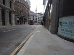
Note.
- There are two bus stops for the 21, 43 and 141 buses on King William Street; one Northbound and one Southbound.
- The bus stops are a two minute level walk from the gate-line at the Cannon Street entrance.
- To go between the gate-line and the Northbound stop requires no crossing of any road, but the route to the Southbound stop requires the use of a light-controlled crossing.
- The Cannon Street entrance is step-free and only a short walk, between the street and the platforms of the Docklands Light Railway and the Northern Line.
- The access to the Central Line is also easy, but a longer walk.
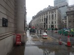
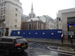
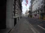
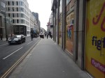
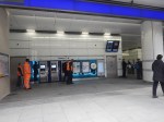
This afternoon, I walked the other way from the Southbound bus stop on King William Street to the new Cannon Street entrance of Bank station.
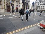
Note.
- It is a totally level walk.
- There are lights to help the crossing of King William Street.
- The concrete building on the other side of King William Street is the other end of the new station entrance.
- It looked to me, that there was a retail unit in the corner of that building. This was confirmed by station staff and it would surely be an ideal place for an upmarket takeaway.
- The building on the corner of Cannon Street and King William Street is a set of shared offices. Again it is in a prime position.
- You can also walk from the bus stop to the main Monument station entrance.
I timed myself from the Southbound stop on King William Street to the various platforms.
- Central Line – Under five minutes
- Dockland Light Railway – Under four minutes
- Northern Line – Under three minutes
Will these times encourage passengers to use the new entrance and its buses to North London?
If I was looking for offices for a foreign company, that wanted to be in the City, as I do occasionally for an American attorney, I would start in this area.
Step-Free Access On The Northern Line Is Rather Variable
If you look at the step-free access on this section of the Northern Line, you find the following.
- Euston – Escalators – No Lifts until High Speed Two
- King’s Cross – Escalators – One Lift to platform
- Angel – Escalators – No Lifts – Medium walk to the buses
- Old Street – Escalators – No Lifts – Medium walk to the buses
- Moorgate – Escalators – Long Lift route – Medium walk to the buses
- Bank (North) – Escalators – Lots of Steps – Medium walk to the buses
- Bank (Cannon Street) – Escalators – Two Lifts to platforms – Short walk to buses
- London Bridge – Escalators – One Lift to platform – Steps to buses
Note.
- If I was going between My House and the Northern Line South of Bank station, I’d change between the 141 bus and the Northern Line at the Cannon Street entrance to Bank station.
- Alternatively, I can take a 38 bus to the Angel and join the route there. But that route can be very slow coming North, as there is a lot of walking. Going South, it’s also likely to be blocked by a Tesco truck at the Angel.
- Between My House and the Docklands Light Railway, I’d change from the 141 bus at the Cannon Street entrance to Bank station.
- I might even take that route, if I wanted the Central Line out of Bank.
It does appear that as the new Cannon Street entrance to Bank station has been well-designed with full step-free access and short walks to the bus stops, that it will be the interchange of choice for many travellers to and from the area, who are using the buses.
Conclusion
I feel that a lot of passengers from North London will use the 21, 43 and 141 buses to access the Central and Northern Lines, and the Docklands Light Railway using the new Cannon Street entrance to the Bank station complex.
I very much feel that all three bus routes will have a lot more passengers, so the Nightmare On The Buses, is likely to get worse.
Into The Realm Of The Rabbits
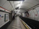
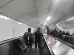
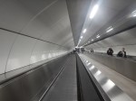
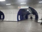
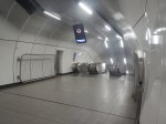
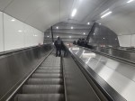
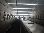
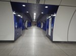
The completed Bank Station Upgrade opened today and I went and took these pictures of what is now a rabbit warren of a station.
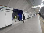
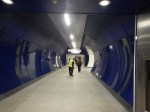
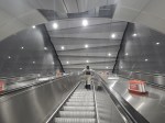
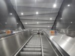
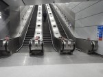
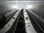
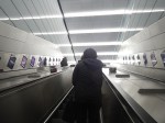
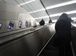
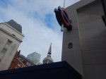

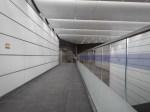

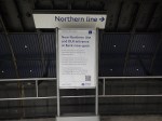
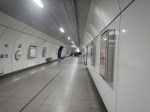
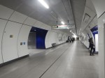
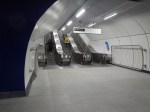
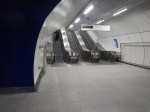
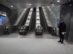
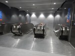
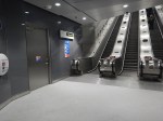
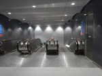
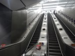
Note.
- There are now three cross passages between the two Northern Line platforms.
- There are two lifts between Cannon Street and the Northern Line and one extends to the Docklands Light Railway.
- The Northern Line and Cannon Street are now connected by two sets of three very long escalators.
- I took a walk to Cannon Street, whilst taking this pictures and from leaving the new entrance to being on a train out of Cannon Street, took mt five minutes.
- After photographing the station, I walked to the bus stop for the 141 bus, which took me home. As there is now a new passage between the gate-line and the bus stop, it took just two minutes.
The new Cannon Street entrance is a practical, stylish and well designed and built addition to the Bank station complex.
I would let the same architects and builders loose on Camden Town, Holborn and Oxford Circus/Bond Street stations.
