Nicholas Lane – 1st May 2023
Nicholas Lane is a lane in the City of London, that runs between Cannon Street in the South and Lombard Street in the North.
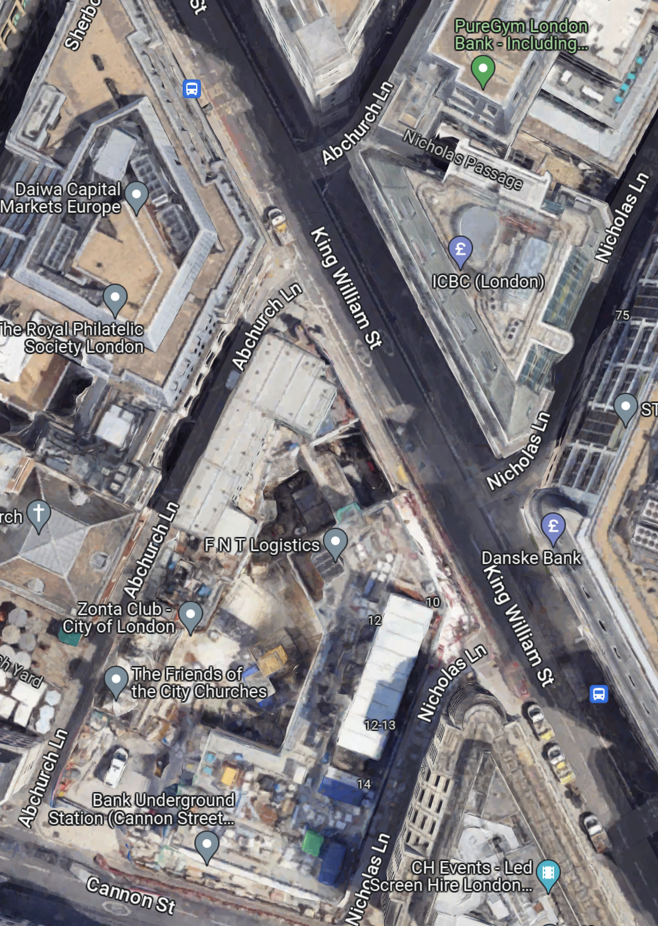
This Google Map shows the lane.
Note.
- Nicholas Lane tuns diagonally across King William Street.
- Cannon Street can be seen in the South-West corner of the map.
- The new entrance to Bank station is on Cannon Street.
- Nicholas Lane runs up the side of the new station entrance.
- There are two bus stops for the 21, 43 and 141 buses on King William Street.
The bus stops are within easy walking distance of the new station entrance, if you walk along the Southern section of Nicholas Lane.
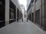
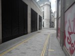
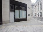
These pictures show Nicholas Lane and King William Street.



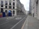
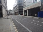
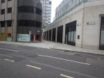
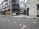
Note.
- I suspect some coffee shops or a fast food joint will appear at the King William Street end of Nicholas Lane.
- The windows on the corner could be ready to be a shop.
- In Bank Station Upgrade – 6th January 2023, I described the eight storey building, that will sit on top of the station entrance.
The lane could also a preferred route for many, who are changing at Bank station to or from the buses.
Riding The 34 Bus Between Arnos Grove Station And Walthamstow Bus Station
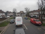
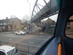
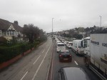
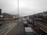
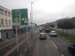
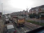
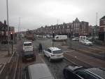
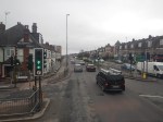
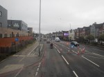
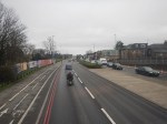
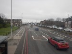
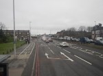
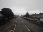
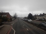
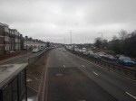
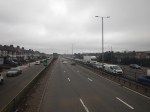
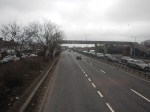
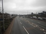
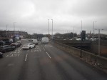
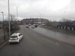
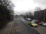
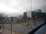
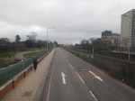
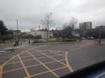
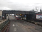
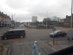
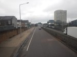
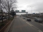
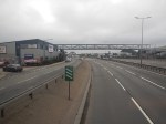
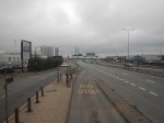
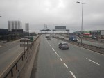
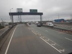
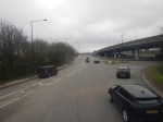
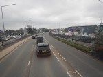
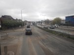
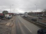
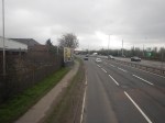
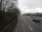
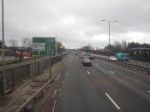
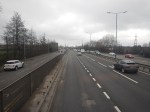
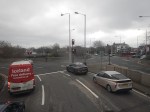
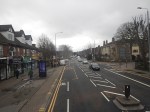
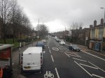
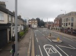
To continue on the route of the Superloop, I needed to get to North Walthamstow bus station, so I took a 34 bus from Arnos Grove station to Walthamstow bus station. I took these pictures.
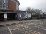
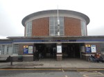
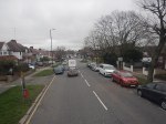
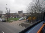



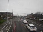
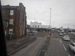
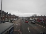
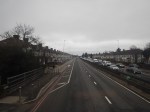
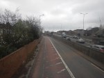
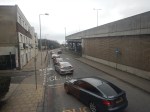
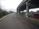
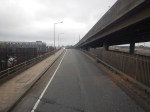

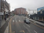
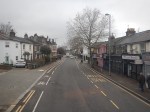
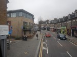
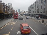
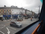
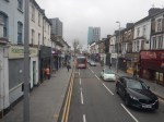
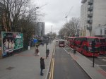
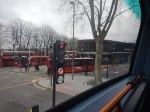
Note.
- The route was along the North Circular Road and then into Walthamstow from the Crooked Billet roundabout.
- The North Circular Road was grade separated but quite congested.
- The North Circular Road has a 40 mph speed limit.
- There was only one station on the route; Silver Street, by the North Middlesex Hospital.
- Walthamstow bus interchange is by Walthamstow Central station and has reasonable amounts of space.
The journey took about 67 minutes.
I have two thoughts.
The Route Of The Bus 34 Could Be Part Of The Superloop
I feel my journey today, proved that this would be part of a feasible Superloop leg between North Finchley and Walthamstow Central bus stations.
This Google Map shows the route between North Finchley bus station and Arnos Grove Underground station.
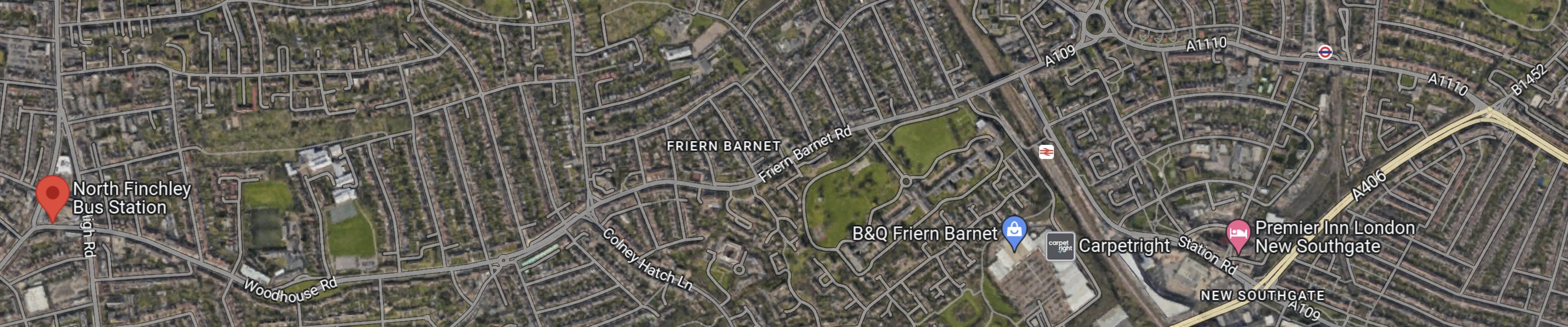
Note.
- North Finchley bus station is shown by the red arrow!
- Arnos Grove Underground station is shown by an Underground roundel in the North-East corner of the map.
- The light yellow road at the East side of the map is the North Circular Road.
There would appear to be a road connecting North Finchley bus station and Arnos Grove Underground station, that runs across the top of the map.
The road passes to the North of New Southgate station, which could be one of the Northern termini of Crossrail 2.
Edmonton
This Google Map shows the North Middlesex University Hospital.
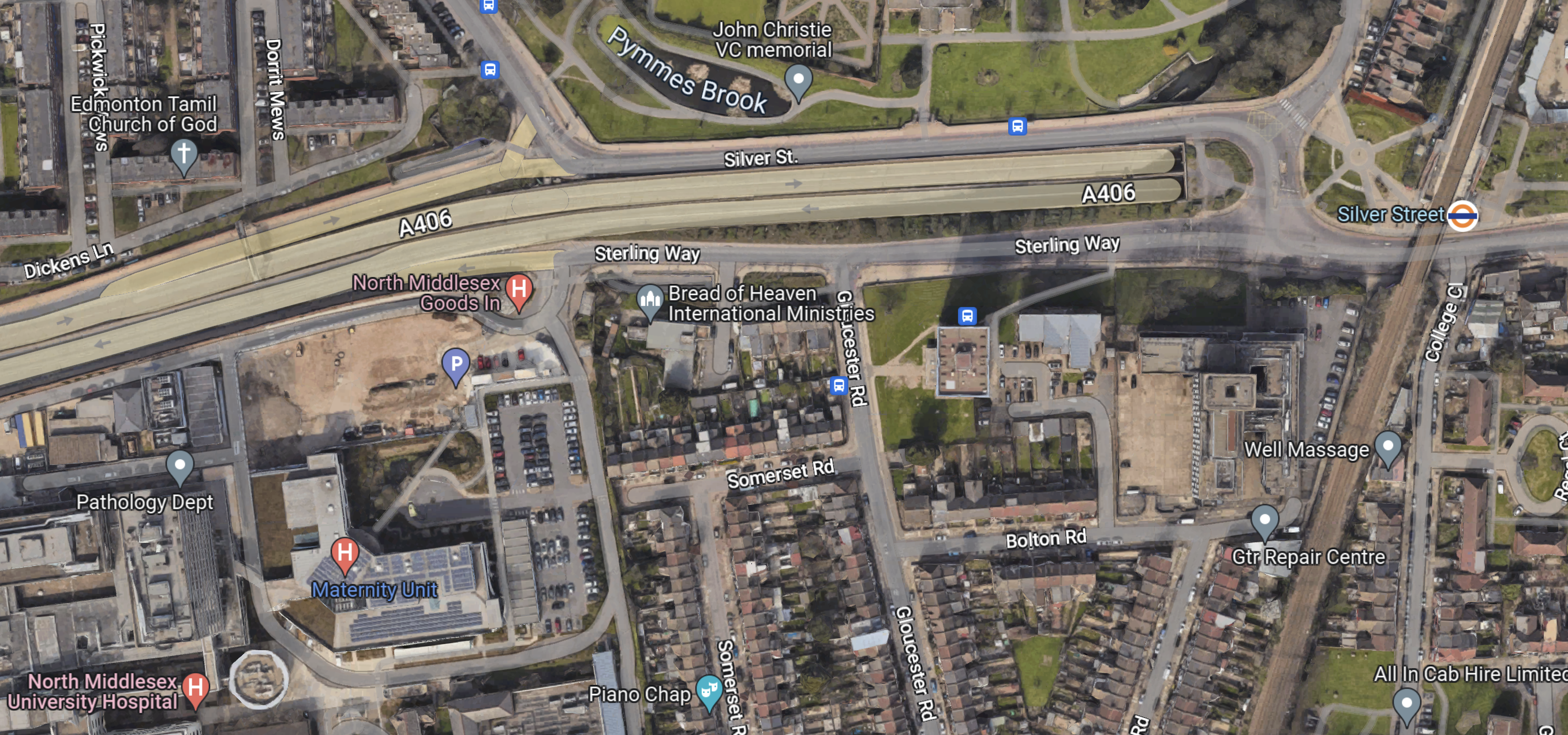
Note.
- The North Circular Road running across the map.
- The North Middlesex University Hospital in the South-West corner of the map.
- The London Overground and Silver Street station in the East of the map.
- There are several bus stops in the area.
This area could be turned into a comprehensive and very useful transport interchange.
Conclusion
The Superloop leg between North Finchley and Walthamstow Central bus stations has possibilities.
Riding The 112 Bus Between Brent Cross And North Finchley Bus Station
To continue on the route of the Superloop, I needed to get to North Finchley bus station, so I took a 112 bus from Brent Cross to North Finchley. I took these pictures.






Note.
- The bus was only a single-decker.
- The route was along the North Circular Road and then North on the A1000.
- The North Circular Road was grade separated but quite congested.
- The North Circular Road has a 40 mph speed limit.
- Strangely, we didn’t pass a train, Underground or Overground station.
- Both Brent Cross and North Finchley bus interchanges have reasonable amounts of space.
The journey took about 20 minutes.
I have one thought.
Creating A Route Between Harrow And North Finchley Bus Stations
This would not appear to be difficult.
- Between Harrow bus station and Brent Cross, the route would be a simplified version of the 182 route, that I wrote about in Riding The 182 Bus Between Harrow Bus Station And Brent Cross. A more direct route would be taken between Wembley stadium and Brent Cross.
- The bus would just pop in to the large bus interchange at Brent Cross and then go straight back onto the North Circular Road.
- The North Circular Road is two lanes both way.
- The A1000 from the North Circular Road to North Finchley didn’t seem too crowded.
I suspect little work will need to be done to allow Superloop to run successfully between Harrow And North Finchley bus stations.
Riding The X140 Bus Between Heathrow Airport And Harrow Bus Station
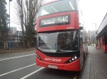
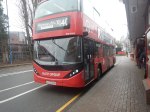
I did this journey, which will be part of the Superloop, in better weather than yesterday, and was able to take these better pictures.

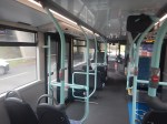





Note.
- The roads were much better than yesterday’s trip and were mostly two lanes each way, with large roundabouts at junctions.
- I suspect the bus was going at between 30 and 40 mph most of the way.
- There was still quite a lot of traffic.
- It is a distance of about 15 miles.
- The timetable says that buses run every 10-13 minutes.
- The X26 buses run between about six in the morning at midnight.
- There are twelve intermediate stops.
- Harrow-On-The-Hill station is next to Harrow Bus station.
- Heathrow Central connects to Heathrow Express, the Elizabeth and Piccadilly Lines.
- Hayes and Harlington connects to the Elizabeth Line and GWR’s local services.
- Northolt station connects to the Central Line.
- Northolt Park station connects to Chiltern.
- South Harrow station connects to the Piccadilly Line.
- Harrow-On-The-Hill connects to the Metropolitan Line and Chiltern
The journey took 49 minutes, which is only a minute longer than the timetable.
I have a few thoughts.
Passenger Numbers
These were my observations on my journey that started at about 11:30 on a dry day.
- Few got on at Heathrow Central, but I suspect we had just missed a bus.
- By Hayes & Harrington station, the bus was about a quarter full.
- At South Harrow station it must have been about three-quarters full.
- At Harrow bus station all the lower-deck seats were taken.
I would expect that the loading I saw fits with TfL’s expectations.
The Bus
The bus was one of the latest ADL battery-electric buses.
- It had a strong performance.
- It had wi-fi and phone charging.
- It was probably less than a year old.
- It was a lot better than yesterday’s bus!
At present not all buses on the route are battery-electric, as some are still older hybrids.
Travelling To Heathrow From The Northern Reaches Of The Metropolitan Line
Many people travel to and from Heathrow either for work or because they are flying.
- But it is not an easy journey from the Northern reaches of the Metropolitan Line.
- I believe the X26 bus could be a viable way to get to the airport for many.
- There would be a change at Harrow-on-the-Hill, but the station is at least step-free.
- It would avoid parking fees.
- Fares could be less than fuel costs.
The only big drawback, is that the X26 bus is not twenty-four hours.
More And More Frequent Buses Would Help
I believe that the Superloop should be a 24-hour service, as a lot of things go on at airports in the middle of the night.
I’ve just found out that there is an N140 bus that covers the route.
I also think, that as with the Overground, services should be at least four buses per hour.
Riding The X26 Bus Between West Croydon Bus Station And Heathrow Airport
I did this journey, which will be part of the Superloop, in the pouring rain yesterday, and took these were the awful pictures.

Note.
- The rain didn’t help, but the journey was so slow and it is timetabled for an hour and forty minutes.
- There was a lot of traffic and this meant we were a few minutes late.
- I was sitting up front, with another pensioner, who was going to have lunch with mates in Kingston.
It may be an express bus, but I can’t see the speed of this section attracting a lot of passengers.
When I took my ride across Birmingham in a hydrogen bus, which I wrote about in Riding Birmingham’s New Hydrogen-Powered Buses, where I said this about the Wrightbuses.
I very much feel that the buses are the best hydrogen-powered vehicles, that I’ve travelled in, as they are smooth, comfortable, quiet and seem to have excellent performance.
There were some sections of dual-carriageway in Birmingham, where the buses were able to use their excellent acceleration to get through the traffic and make up many seconds.
It should also be noted, that Dublin uses the same hydrogen buses for a long-distance commuter bus.
West Croydon Bus Station – 28th March 2023
This morning I went to West Croydon Bus Station, to catch the X26 bus between West Croydon station and Heathrow Airport.
This was to investigate TfL’s Superloop.
I took these pictures of the bus station.
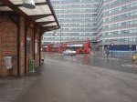
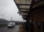
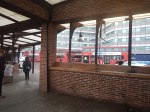
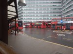
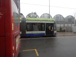
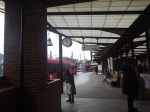
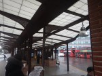
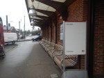
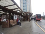
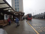
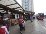
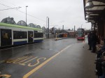
It was nice to see a well-designed bus station, that had been built to a high standard.
New Fast Bus Service To Link London’s Outer Boroughs
The title of this post is the same as that of this article on the BBC.
This is the sub-heading.
A new fast service bus network has been announced for London’s outer boroughs.
These three paragraphs outline the concept.
Six new routes will be created and four incorporated into the ‘Superloop’ network, complete with distinct branding.
The plans propose a fast service to make more stops linking many of the peripheral boroughs.
The network is part of London Mayor Sadiq Khan’s effort to compensate for the impact of the ultra-low emission zone expansion, due to start in August.
This draft map from TfL illustrates the concept.
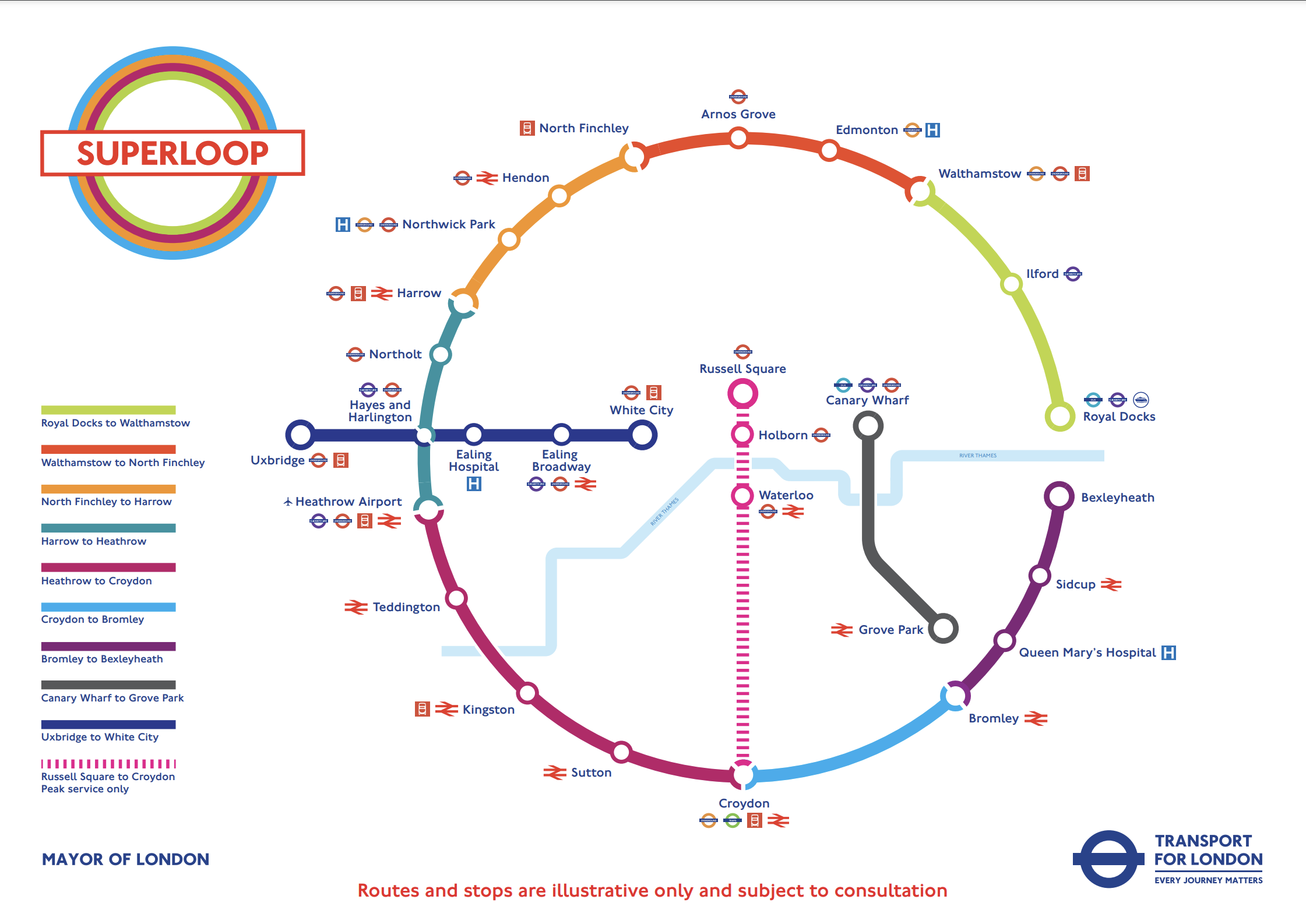
In the draft map, the following can be discerned.
- Arnos Grove station is in the North.
- West Croydon station is in the South.
- Royal Docks and Bexleyheath are in the East.
- Uxbridge and Hayes & Harlington stations are in the West.
- Elizabeth Line stations on the route include Ilford, Custom House, Heathrow Airport and Hayes & Harlington.
The plan may work well, as in the 1950s and 1960s, I used the 107 bus route very regularly, as it cut a circular path between Queensbury in the West and Enfield in the East.
I have some thoughts.
Royal Docks And Bexleyheath
This Google Map shows the Royal Docks.

Note.
- The dotted red line indicates the Royal Docks.
- The runway of the London City Airport can be seen.
- Custom House station on the Elizabeth Line is served by the Elizabeth Line and the Docklands Light Railway.
This second Google Map shows the Western end of the Royal Victoria Dock.

Note.
- Custom House station is in the North-East corner of the map.
- The Excel is on the East end of the map.
- London City Hall is at the Western end of the Royal Victoria Dock.
- The cable-car to Greenwich connects to the area.
I would suspect that the bus from Walthamstow will terminate close to City Hall and the cable-car.
This Google Map shows the Royal Docks and Bexleyheath.
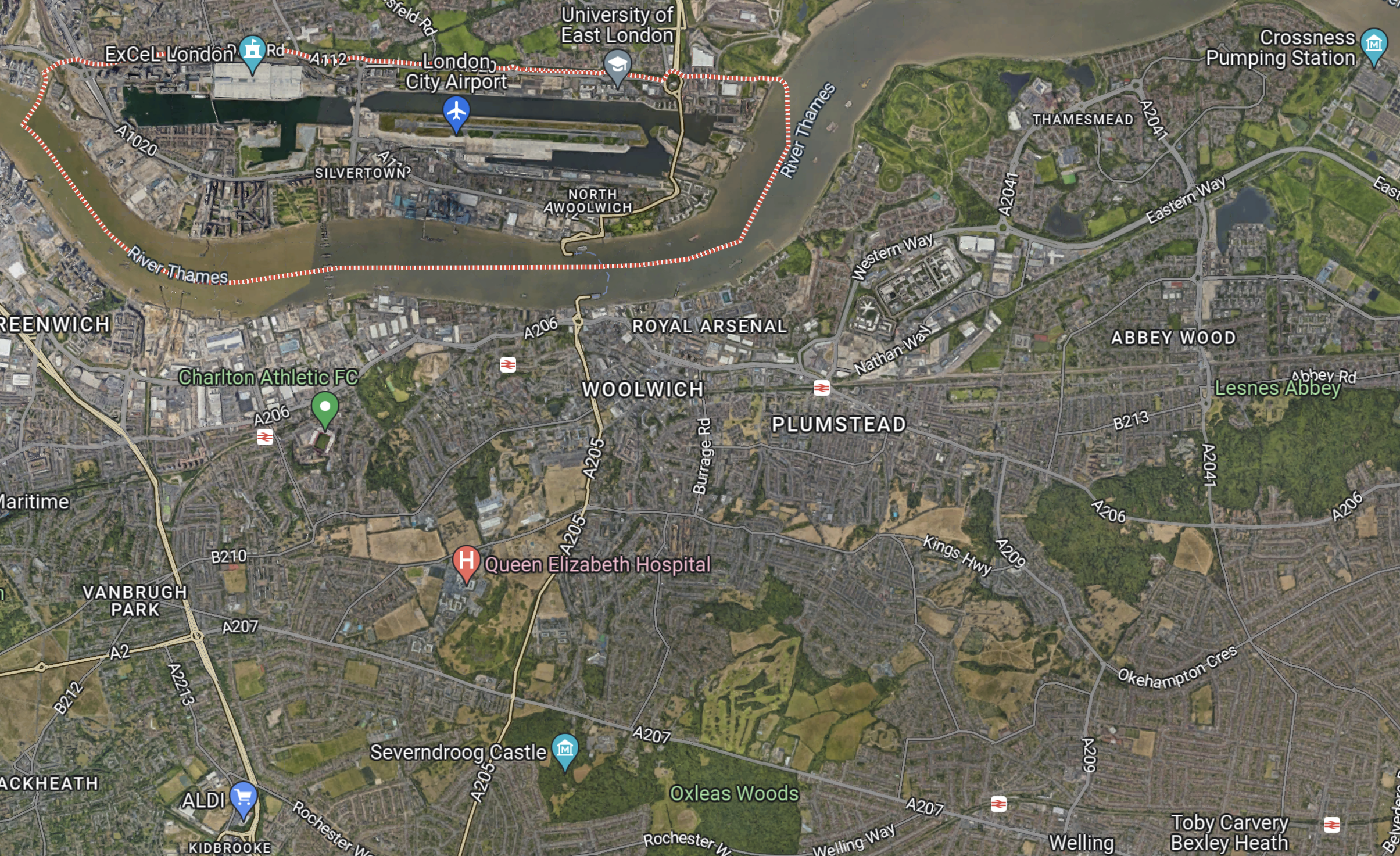
Note.
- The dotted red line indicates the Royal Docks.
- Bexleyheath station is in the South-East corner of the map.
I wouldn’t be surprised to see the Mayor organise a bus, through his new pet project; the Silvertown Tunnel.
Electric Or Hydrogen
Ideally, the buses will need to be zero-carbon; which means battery-electric or some form of hydrogen power.
Birmingham has a similar series of express routes, that run across the city, which I wrote about in Riding Birmingham’s New Hydrogen-Powered Buses.
I feel that long routes like some of these are should be run with hydrogen-powered buses, because of there longer range.
A Rare Site – Two 141 Buses
I took this picture, this afternoon of a rare site these days – two 141 buses running in convoy.
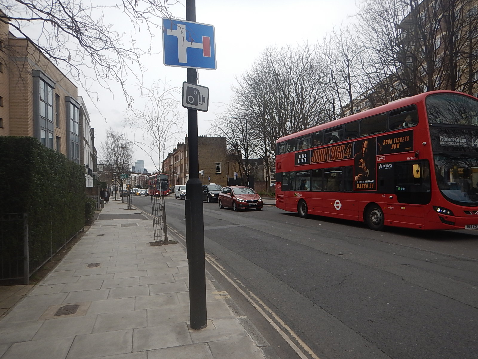
Nothing seems to be improving and passengers are regularly waiting 15-20 minutes for a 141 bus, when the timetable says it should be 4-8 minutes.
Is Transport for London’s Management Dysfunctional?
Perhaps six years ago, I e-mailed TfL to ask, if the five-digit number displayed on the bus-stop, to get details of how long you will wait for the next bus, could be repeated under the shelter, so that if you are waiting in bad weather you can find out the next bus time without venturing outside.
I got a reply saying they’d look into it.
About a year ago, they changed the instructions on the bus stops and the new posters have a space for the installers to put in the stop number.But have I seen one of these spaces with the number in it? Of course not!
Sounds like one department made a worthwhile change and then didn’t inform those, who would carry it out.
TfL is a dysfunctional operation, that needs a thorough overhaul of management. Starting at the top!
Wrightbus: Ballymena Company Gets Order For 117 Buses
The title of this post, is the same as that of this article on the BBC.
This is the sub-heading.
County Antrim firm Wrightbus has secured a £25.3m order to build 117 zero-emission buses for use in England
And this is the first paragraph.
Operated by First Bus, the vehicles will be used in Yorkshire, Norfolk, Portsmouth and Hampshire.
They don’t say, whether the buses are battery or hydrogen powered.

