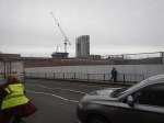
Connecting The Bakerloo, Elizabeth and Victoria Lines At Oxford Circus Station
To my mind it is a design fault of the Elizabeth Line, that it does not correct directly to the Victoria Line.
This OpenRailwayMap shows the various lines at Oxford Circus station.

Note.
- Oxford Street running East-West across the top of the map.
- The Central Line runs under Oxford Street.
- Regent Street running North-South down the map.
- The Bakerloo Line runs under Regent Street.
- The buff tracks running East-West are the Elizabeth Line.
- Hanover Square is above the Elizabeth Line at the Western edge of the map.
- The tracks of the Victoria Line can be picked outrunning North-South down the map.
- They pass through Oxford Circus station at the outside to give cross-platform interchange with the Bakerloo Line.
Consider.
- Oxford Circus station is not step-free.
- The Elizabeth Line entrance in Hanover Square is step-free.
I believe, as at Bank station, that a deep tunneled connection could be made between Oxford Circus station and the Elizabeth Line entrance in Hanover Square.
Note.
- It could be below the foundations of the buildings.
- A travellator might make it easier for some.
- There could even be shops, cafes and perhaps toilets in the tunnel.
There might not need to be any new street entrances to the below ground complex.
Does The Elizabeth Line Need More Frequent Trains In The Central Section?
Currently, the Off Peak service on the Elizabeth Line is at follows.
- Reading and Abbey Wood – 2 tph
- Maidenhead and Abbey Wood – 2 tph
- Heathrow Terminal 4 and Abbey Wood – 4 tph
- Heathrow Terminal 5 and Shenfield – 2 tph
- Paddington and Shenfield – 6 tph
Note.
- tph is trains per hour.
- There are eight tph to Abbey Wood and Shenfield.
- There are six tph to Heathrow Airport.
But there are only 16 tph through the Central Tunnel between Paddington and Whitechapel stations.
These are typical Off Peak frequencies on other Underground and rail services across London.
- Bakerloo Line – 16 tph – Queen’s Park and Elephant & Castle – 20 tph in the Peak.
- Central Line – 24 tph – White City and Leytonstone – 35 tph in the Peak.
- Jubilee Line – 24 tph – Stratford and West Hampstead.
- Northern Line – 16-20 tph – All routes except Kennington and Battersea Power Station.
- Piccadilly Line – 21 tph – Arnos Grove and Acton Town.
- Thameslink – 16 tph – St. Pancras and Blackfriars.
- Victoria Line – 33 tph – Seven Sisters and Brixton – 36 tph in the Peak.
From these figures, it appears that the Elizabeth Line’s 16 tph is on the low side, when compared to the Central, Jubilee and Victoria Line.
This morning about 11:00, I went between Moorgate and West Ealing stations.
- I went to see FirstGroup’s fast-charge system for battery-electric trains.
- The trains were full both ways.
- There was only the odd seat available.
I know it’s Half Term, but I do think that more services need to run on the Elizabeth Line.
The Most Crowded Train I’ve Been On For Sixty-Plus Years
I started going to Tottenham Hotspur matches by myself somewhere between the age of fourteen and sixteen.
- I used to take the 107 bus from where we lived in Oakwood to Enfield Town station and then get the electric trains to White Hart Lane.
- I don’t remember much about the trains, but they were slam door stock.
- I remember this as we used to fold the doors back before the train entered the station and jump out when the train got to running speed.
- Coming back into Enfield Town station, this was essential, otherwise you wouldn’t be to the front of the queue for the 107 bus.
- Those trains returning from White Hart Lane were incredibly packed.
And I haven’t been on a train as crowded until today.
Today, I planned a simple mission to go to Ebbw Vale Town station and back to see the working of the new service between Newport and Ebbw Vale Town station.
- As I often do, I used my Freedom Pass on the Elizabeth Line to get to Reading.
- At Reading station, I bought a Super Off-Peak Return from Reading to Ebbw Vale Town for £47.05 with my Senior Railcard.
- By comparison, a Super Off-Peak Return from Paddington to Ebbw Vale Town is £57.55 with a Railcard.
The first train today, on which I could use my cheap ticket was the 11:13 from Reading.
- I had hoped, that there would still be a few seats left at Reading, as there are always a few, who use Great Western Railway’s fast trains between Paddington and Reading.
- I also expected, that many going to the Wales and Scotland match in Cardiff would take later trains.
- Unfortunately, quite a few Scots and Welsh supporters got on at Reading.
- It was a wrong decision, as there wasn’t a spare seat anywhere.
So in the end, I stood all the way from Reading to Newport.
I would hope that next time, that Scotland play Wales in Cardiff, that Great Western Railway add some more capacity.
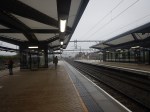
That Was Close!
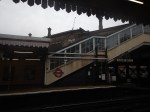
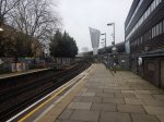
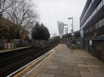
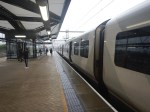
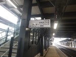
I took this picture in Liverpool Street station on the Elizabeth Line.
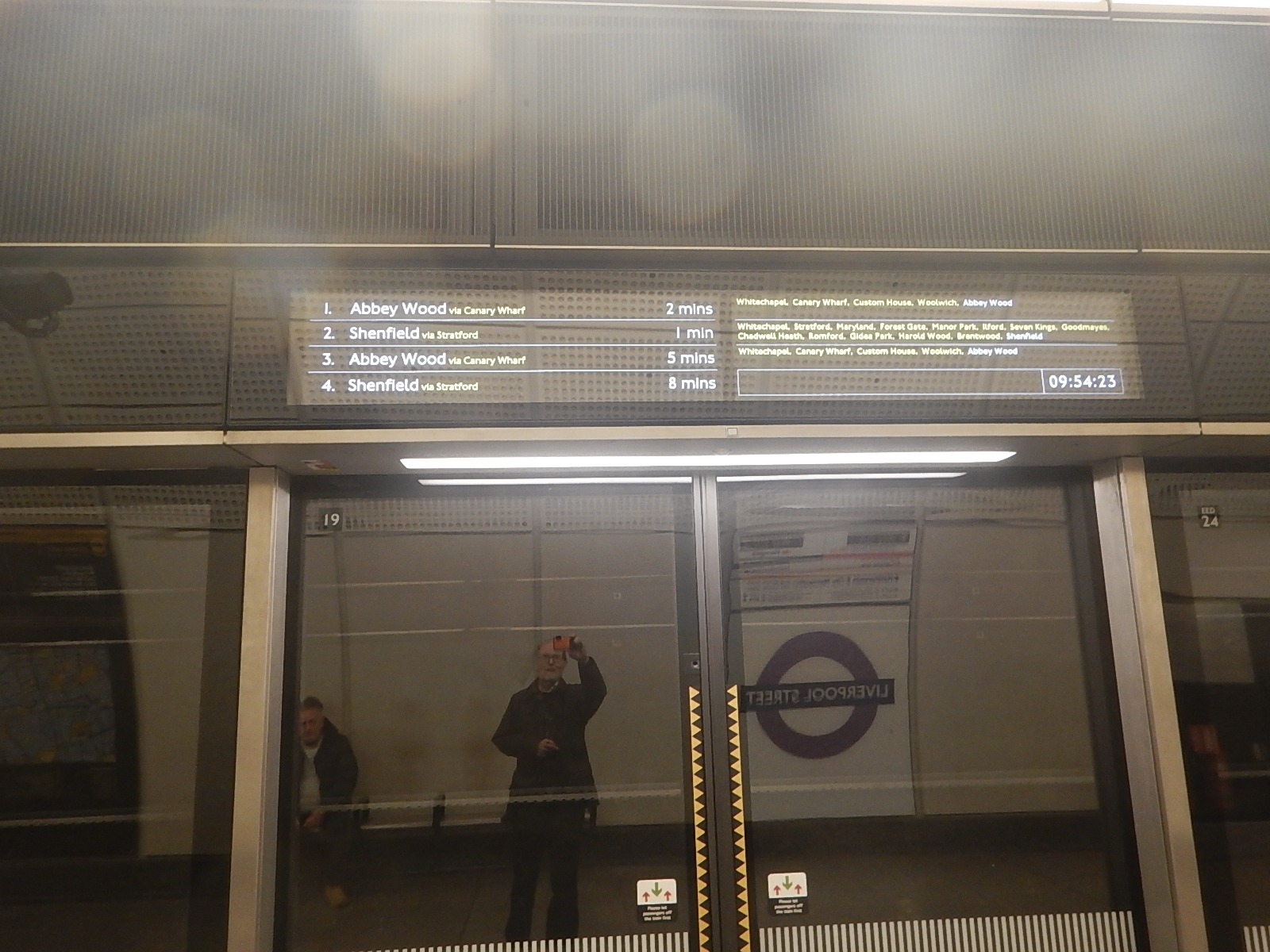
Note.
- The timings of the first two trains.
- The Shenfield train did arrive before the one for Abbey Wood.
How did it manage that? It looks like a another Fujitsu moment in the display to me!
Extending The Elizabeth Line – Could Open Access Services Use The Elizabeth Line?
In the February 2024 Edition of Modern Railways, there is an article which is entitled First Bid For Sheffield To King’s Cross Paths.
The article is mainly about FirstGroup’s proposal for a new Sheffield and London service, running under the Hull Trains brand.
But, this is the last paragraph.
Modern Railways understands First is working on a number of proposals for additional open access services, and this is an early statement of intent. Other existing open access proposals include Grand Union Trains’ plans for London to Stirling and Cardiff to Edinburgh services, along with an already approved London to Carmarthen service, and the recently submitted Wrexham, Shropshire and Midland Railway application for a London to Wrexham service. It is understood other organisations, including MTR and Virgin, are also working up plans for new open access services.
The respected Modern Railways magazine seem to think, that we’ll be seeing more open access services on UK railways.
These are my thoughts.
A Simple Example – London Crosslink
In Extending The Elizabeth Line – London Crosslink, I said this.
In the Wikipedia entry for the London Crosslink, this is the introduction.
London Crosslink was a passenger train service operated by Anglia Railways between Norwich and Basingstoke, using the North London Line to bypass central London. Class 170 Turbostar diesel multiple units were used, and the service operated between 22 May 2000 and 28 September 2002, supported by funding from the Strategic Rail Authority through its Rail Passenger Partnership fund.
As it was discontinued and it doesn’t seem to be sadly missed, I’m not advocating its reinstatement, but just looking how it might be run after the full opening of the Elizabeth Line.
But surely, there were good reasons, why the service was run in the first place and there might be a need in the future.
These are some characteristics of the service.
- There were about half-a-dozen services in both directions every day.
- At its full length it ran between Norwich and Basingstoke.
- Stops included Diss, Stowmarket, Ipswich, Colchester, Witham, Chelmsford, Ingatestone, Romford, Stratford, Highbury & Islington, Camden Road, West Hampstead, Brentford, Feltham, Staines, Woking and Farnborough (Main).
- Each service seemed to have a different stopping pattern.
- The timetable wasn’t very regular.
- The route wasn’t fully electrified.
It appears that it may have been a difficult service to timetable.
I lived North of Ipswich for some years.
I never used the London CrossLink service, as I had moved away before the service started in 2000.
- I would have found the change to the Central Line at Stratford station useful.
- I would have found the change to the Victoria Line at Highbury & Islington station useful.
- I would have found the change to Thameslink at West Hampstead station useful.
- Basingstoke would have given access to Greater South-West England.
- I could have got a bus to Heathrow from Feltham.
But getting to Marylebone, Paddington and Waterloo would have still been tedious.
Could a replacement for the London CrossLink be routed via the Elizabeth Line?
- The service would use the Elizabeth Line between Stratford and Reading.
- The service would use the Reading and Basingstoke Line between Reading and Basingstoke.
The route has some advantages over the original route.
- Except for the 13.6 miles between Southcote Junction and Basingstoke, the route is fully-electrified.
- Whitechapel will give access to London Overground services.
- Farringdon will give access to Thameslink services.
- There will be a lot of connections at Tottenham Court Road and Bond Street.
- Paddington and Reading will give access to Heathrow, Oxford and West of England services.
- Basingstoke will give access to Greater South-West England.
It is certainly an as-useful route as the original, if not more so.
The Trains
In Extending The Elizabeth Line – Will There Be A Need For Long Distance Class 345 Train?, I set out how a standard Class 345 train could be updated with faster running and a more appropriate interior.
As the Elizabeth Line is likely to need some more trains if High Speed Two is delayed, perhaps some extra trains should be ordered fairly soon.
The Routes
Consider.
- A terminal station would probably need to be electrified to the Elizabeth Line route.
- It would need the infrastructure to turn the trains.
These stations could probably be used as terminal stations.
- Basingstoke
- Bristol
- Cardiff
- Colchester
- Faversham
- Hoo – See Extending The Elizabeth Line – A Branch To The Isle Of Grain.
- Ipswich
- Northfleet – For European services at Ebbsfleet International.
- Norwich
- Oxford
- Rochester
- Southampton
- Southend Victoria
There will certainly be others.
Why Use Open Access?
Suppose an operator wants to run a service between Bristol Parkway and Northfleet to give the West Country access to European services.
- The operator takes all the risk and Network Rail get track access charges.
- Do Transport for London get track access charges for the Elizabeth Line tunnels?
- If they get their predictions and sums wrong, they lose the money.
But if they get it right, they probably sell it to an infrastructure company at a profit.
Conclusion
I think open access operation might work through the Elizabeth Line Tunnels.
Could A Heathrow And City Line Be Created?
In The New Step-Free Entrance At Euston Square Station, the following comment was added by Martin.
As said cutting the two new pedestrian tunnels from the existing platforms outside the existing brickwork MAY be less demanding than extending the platform tunnel, however I feel that extending the rail platforms would be a more future proof solution as done on the Elizabeth Line, in addition to reducing walking time to the Main Line with Stuff. I would like to see this as a precursor to extending platforms 5 & 6 at Baker Street west to a new entrance at Glentworth Street. With other improvements along the line over time. Enabling a new “Heathrow & City Line” connection utilising the Elizabeth Line from a rebuilt platform at Westbourne Grove.
I will now look at Martin’s various suggestions.
A Connection Between Elizabeth Line And the Hammersmith & City Line At Westbourne Park Station
The last sentence of the comment is.
Enabling a new “Heathrow & City Line” connection utilising the Elizabeth Line from a rebuilt platform at Westbourne Grove.
Note.
- Martin means Westbourne Park not Westbourne Grove.
This OpenRailwayMap shows the lines through Westbourne Park station.
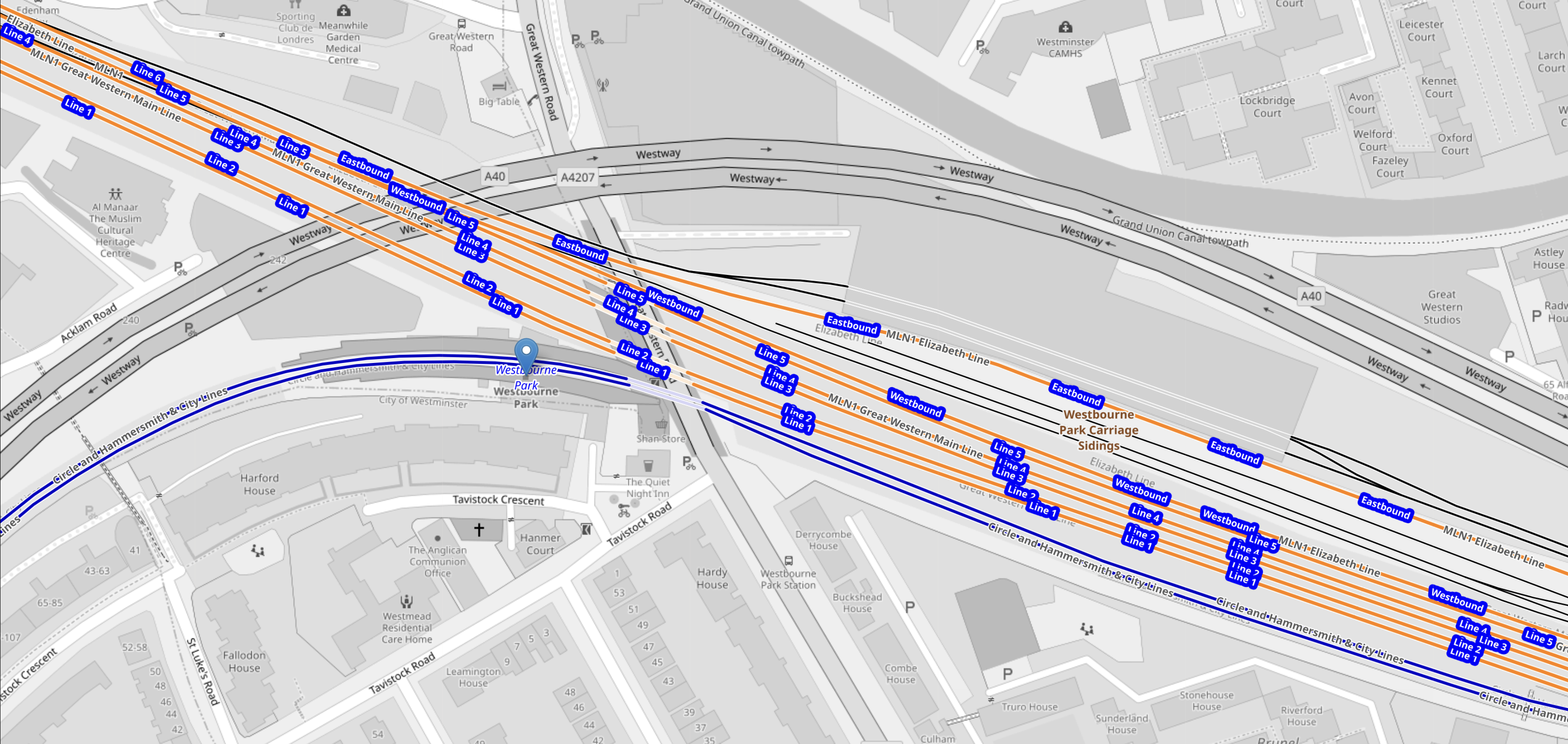
Note.
- The blue tracks are the Hammersmith & City Line.
- The blue arrow on the Hammersmith & City Line indicates Westbourne Park station.
- The orange tracks are the four tracks of the Great Western Main Line and the two tracks of the Elizabeth Line.
- To the East of this map, the Hammersmith & City Line crosses under the other tracks, so it can access platforms on the North side of Paddington station.
This second OpenRailwayMap is an enlargement of the lines through Westbourne Park station.
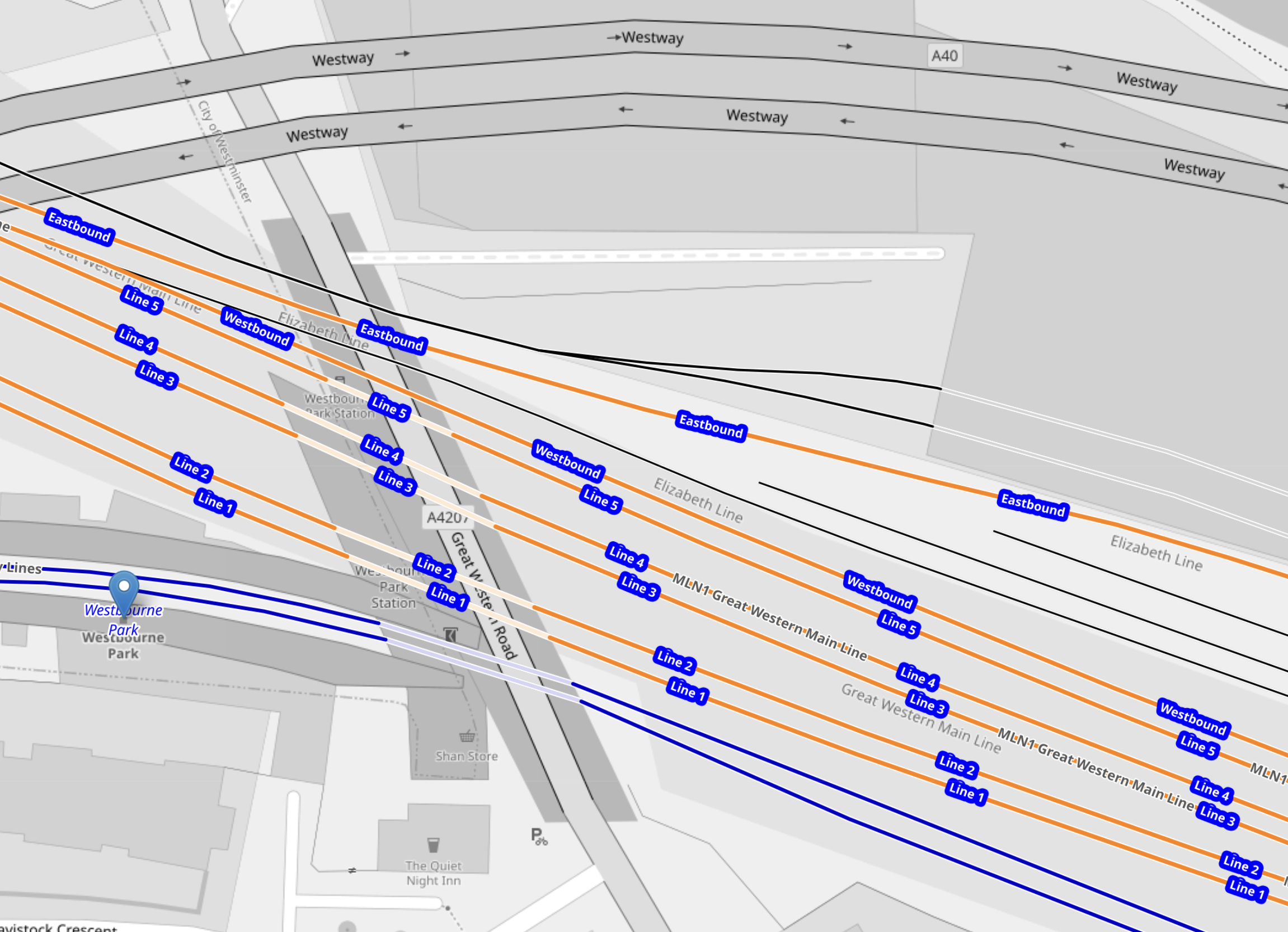
Note.
- As before the blue tracks and blue arrow indicate the Hammersmith & City Line and Westbourne Park station.
- Orange Lines 1 to 4, which are numbered from the South, are the four lines of the Great Western Main Line.
- The other three orange tracks are labelled Line 5, Westbound and Eastbound and handle GWR local services and the Elizabeth Line.
- I would assume that Eastbound and Westbound Elizabeth Line services use the appropriately named track.
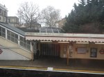
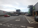
This Google Map shows Westbourne Park station, Great Western Road, the rail tracks and the nearby Westbourne Park bus garage.
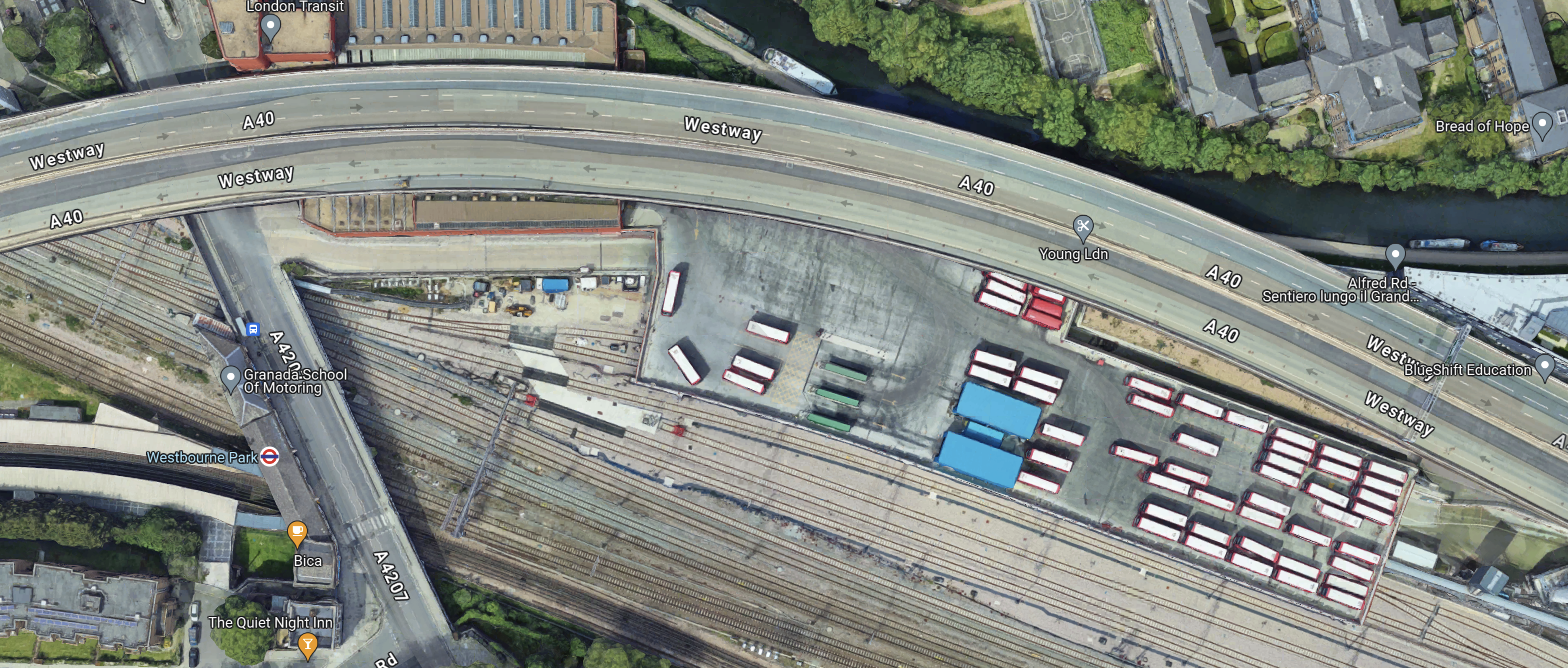
Note.
- The London Underground roundel indicates Westbourne Park station.
- The two Hammersmith & City Line platforms stretch to the West of the station entrance.
- Westbourne Park bus garage lies to the North of the Great Western Main Line and Elizabeth Line tracks.
- There are around fifty white-roofed buses parked on the roof of the bus garage.
- The Eastbound Elizabeth Line track runs along the South side of the bus garage.
Looking at the last two maps, I suspect that a two platform station serving the two Elizabeth line tracks under and to the East of Great Western Road.
- It would be connected to the Hammersmith & City Line by a walkway on the Western side of the Great Western Road.
- There would be step-free access to the Hammersmith & City and Elizabeth Lines.
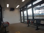
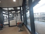
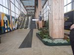
I took these pictures from the platforms at the current Westbourne Park station and as I walked to and from Westbourne Park bus garage.
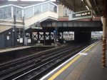
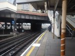


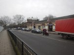
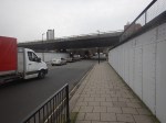
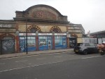
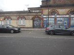
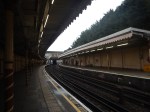
Note.
- The bus garage is recent and was built as part of the Elizabeth Line construction.
- There are two Westbourne Park station buildings.
- One building serves the Hammersmith & City Line and the other could have served the tracks now used by the Elizabeth Line.
- The Westbourne Park station buildings need a lot of restoration.
- Could a bus interchange be developed?
I believe that a station that connected the Hammersmith & City and Elizabeth Lines could be built.
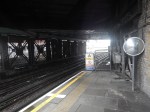
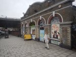
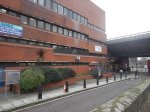
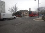
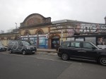
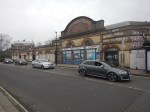
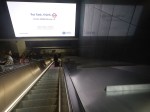
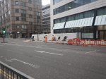
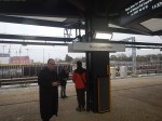
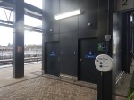
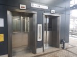
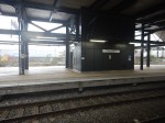
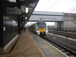
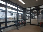
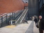
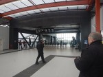
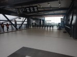
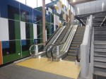
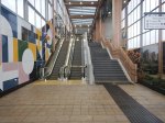
Extra Capacity On The Elizabeth Line At Tottenham Court Road Station
When I go to Oxford Street, I generally use the Elizabeth Line from Moorgate.
- If I need the Western end of Oxford Street, I use the Western entrance of Bond Street station.
- If I need John Lewis or Leon in Hanover Square, I use the Eastern entrance of Bond Street station.
- If I need the Eastern end of Oxford Street or Marks & Spencer at the Pantheon, I use the Western entrance of Tottenham Court Road station.
- If I need Tottenham Court Road or the British Museum, I use the Eastern entrance of Tottenham Court Road station.
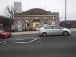
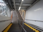
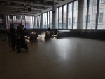
Today, as I was going to Marks & Spencer at the Pantheon, I used the Western entrance of Tottenham Court Road station.
It wasn’t very busy and the tunnels and escalators were easily coping with Christmas shoppers.
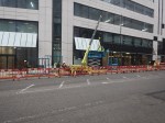
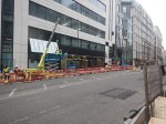
But if Crossrail 2 ever gets built, Tottenham Court Road station could be the only interchange between the Elizabeth Line and Crossrail 2.
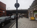
So I was pleased to see that someone had had the foresight to leave space for a fourth escalator at the Western entrance of Tottenham Court Road station.
I took these pictures as I returned.
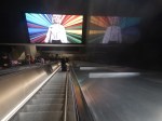


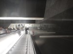


A fourth escalator could easily be fitted on the right of the escalator on which I descended.
Airport Of The Future
I am fairly sure, that in ten years, there will be a lot of zero-carbon aircraft flying short haul routes. I have been particularly impressed by some of the ideas from Airbus, although Boeing seem to be very quiet on the subject. Perhaps it’s the difference between visionaries and engineers, and accountants.
But you rarely read anything about how airports are preparing for even a low-carbon future.
- Some long-stay car-parks could be made electric vehicles only, so they would become massive grid batteries, whilst owners are travelling.
- Airside vehicles can all be made zero-carbon.
- Sustainable aviation fuel (SAF) shouldn’t be a problem, as it would be handled like jet fuel.
- Do airports have a large enough grid connection for all the electrification of vehicles and some planes?
- Do airports have a plan for hydrogen?
The last two points, probably mean we should have built Maplin.
- It could have a cable and a hydrogen pipeline from wind farms and co-located hydrogen electrolysers in the Thames Estuary.
- The Elizabeth Line or a new line could easily be extended or built to the airport, to give a 125 mph connection.
But that enemy of the planet; Harold Wilson cancelled it.
Will 22 Ropemaker Street Have Shops?
As I walked past 22 Ropemaker Street on Sunday, the builders appeared to be finishing off the Ground Floor.
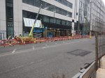
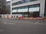
Looking at the building’s web site, there is no mention of retail.
- But the web site does show off the transport and walking connections.
- It also has its own entrance for cyclists.
- Car parking is not mentioned on the web site.
- The web site also details the building.
It’s certainly a well-designed office building.
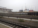
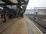
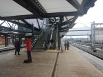
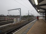
Brent Cross West Station – 10th December 2023
The new Brent Cross West station opened today, so I went to have a look.
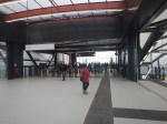


Note.
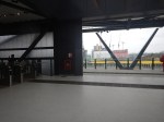
- There are two island platforms.
- The platforms can handl2 12-car Class 700 trains.
- The Eastern island, which is Platforms 1 and 2, is for Thameslink and has two escalators, two lifts, two sets of stairs and two toilets.
- The toilets on the Eastern platforms are an identical pair to cater for everyone.
- The Western island, which is Platforms 3 and 4, is for the main lines and has one lift and two sets of stairs.
- The arriving Thameslink Class 700 train is stopping in Platform 1 on the way to London.
- Signs indicate a cafe, but I couldn’t find it, so I assume that is for the future.
- The shelters on the platforms are heated.
- Both entrances have two lifts, at least one or two escalators and stairs.
The outside photos were taken two days later.
I have some other thoughts.
The Station Layout
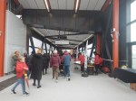
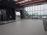
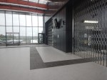
The station has a slightly unusual and very practical layout.
- There is a longish and high bridge over the multiple tracks through the station.
- It is step-free with lifts and escalators at each end to give step-free access across the railway.
- The bridge is wide and is built for cycles.
- The trains are accessed from a spacious lobby, which is separated from the bridge by a long gate-line.
- The lifts, stairs and escalators all lead down from the spacious lobby.
The station must have a very high passenger capacity.
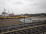
The Track Layout
This OpenRailwayMap shows the track layout at the station.
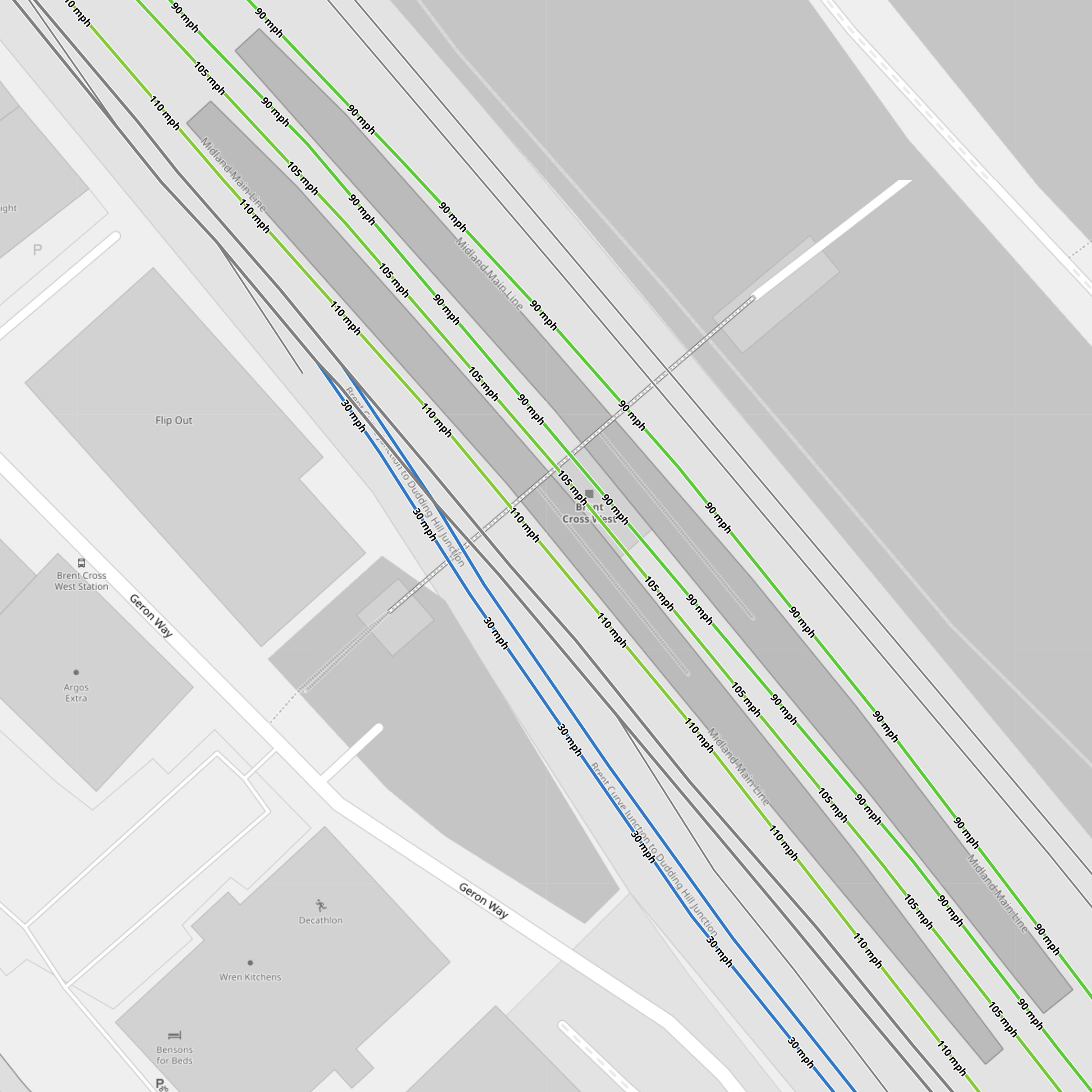
Note.
- The Eastern island platform between the 90 mph Thameslink tracks.
- The Western island platform between the 100-105 mph main line tracks.
- The two most-Easterly tracks give access to the Cricklewood Depot.
- The two black tracks
- The blue tracks connect to the Dudding Hill Line.
- The two black tracks between the blue tracks and the main line tracks are the Up and Down Hendon tracks, which run between Hendon and West Hampstead Thameslink stations, which seem to allow trains to cross over from one side of the tracks to the other.
The large number of tracks must make operation easier.
The West London Orbital Railway
The Hendon and Kew Bridge route of the West London Orbital Railway is planned to call at Brent Cross West station.
It looks like it will use the two Hendon tracks through Brent Cross West and Hendon stations and trains will take the Dudding Hill Line to Neasden to the South of Brent Cross West station.
The West London Orbital Railway will connect Hendon and Brent Cross West station to High Speed Two and the Elizabeth Line, so it will be a very important connection for the residents of the area.
This OpenRailwayMap shows the track layout between the Dudding Hill Line and Hendon.
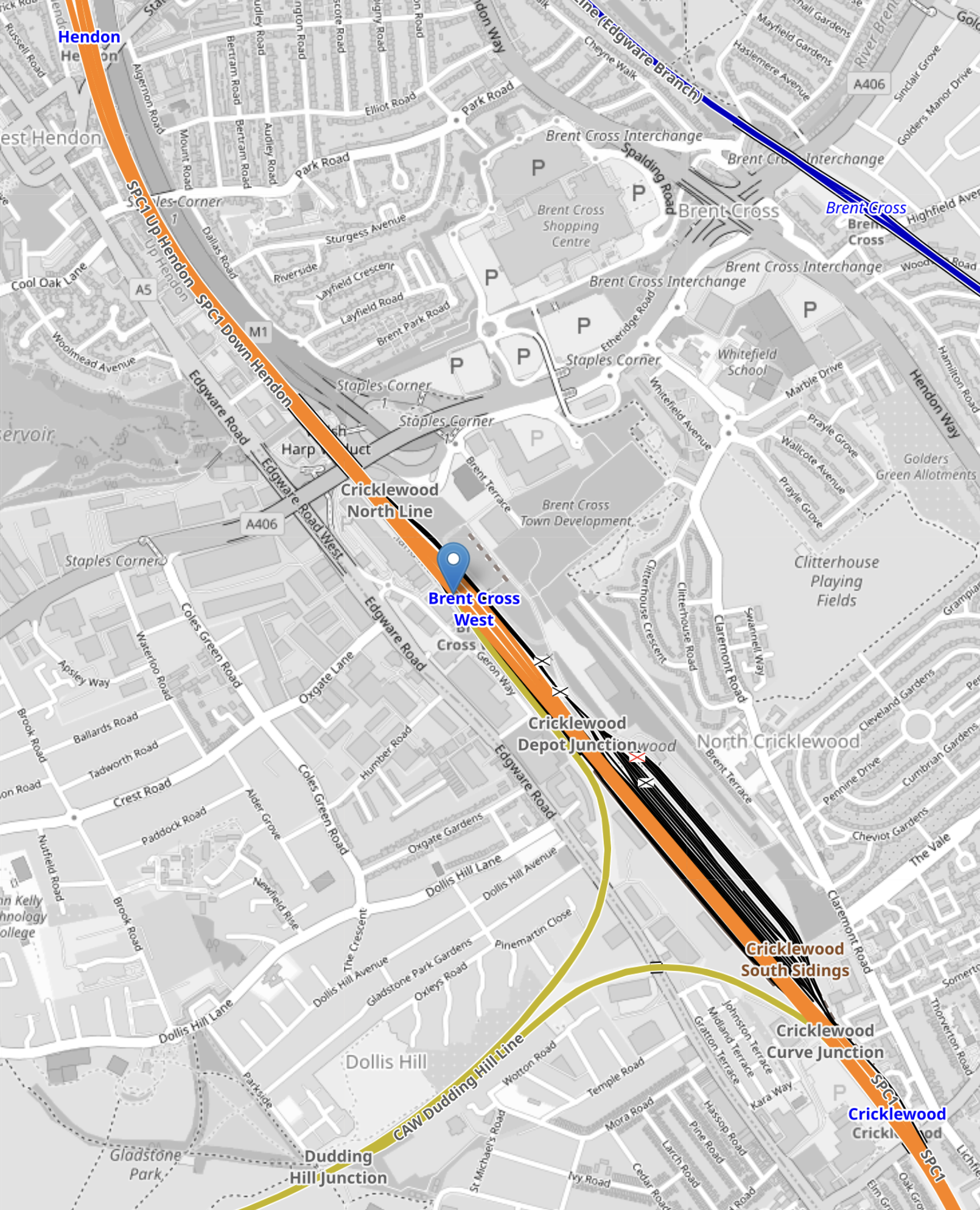
Note.
- Hendon station is in the North-West corner of the map.
- The orange tracks are the Midland Main Line
- Brent Cross West station is marked by the blue arrow.
- The yellow tracks going towards the South-West are the Dudding Hill Line.
The Hendon route will need new platforms at Hendon and Brent Cross West station.
Conclusion
I like the station and I think others will be built on similar principles.
