Will the Liverpool Street Rebuild Include Elizabeth Line Improvements?
I asked Google AI, the question in the title of this post and received this reply.
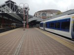
Yes, the proposed redevelopment of London Liverpool Street Station includes improvements to integration with the Elizabeth line, aiming for a fully accessible, multi-modal, and spacious hub. The plans focus on better connecting the main concourse with the Elizabeth line, Underground, and local transport, alongside doubling the concourse size, adding new, more efficient lifts, and increasing the number of ticket barriers.
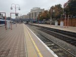
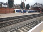
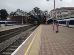
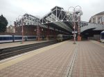
Planning Approval Granted For Network Rail’s Transformation Of Liverpool Street — Britain’s Busiest Station
The title of this post is the same as that of this article in Rail Technology Magazine.
This is the sub-heading.
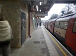
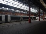
Network Rail has secured a major milestone in the redevelopment of Liverpool Street station, following the City of London Planning Committee’s resolution on 10 February to grant full planning permission for the long‑awaited transformation of the UK’s busiest rail hub.
These two paragraphs adds some more detail.
The Eastern Region’s Anglia Route will oversee the upgrade, which aims to futureproof the station for decades as passenger numbers continue to grow sharply. Liverpool Street, last redeveloped in 1991, now handles 118 million passenger movements each year, and demand is projected to rise by 35%, reaching 158 million by 2041.
Looking further ahead, planners expect the station will need to accommodate over 200 million annual journeys, making capacity enhancement essential for maintaining operational performance and customer experience across London, East Anglia and the wider east of England.
To say this is a large project would be a massive understatement and I wish, that this could have been the last project planned and built by the Artemis project management system, that I wrote in a Suffolk attic fifty years ago.
This list summarises the work that will be done.
- 76% increase in overall concourse capacity
- 23% expansion of the lower concourse to smooth passenger flow
- Step‑free access from street to all platforms, including every Underground line for the first time
- Eight new large lifts, replacing the existing four‑person unit
- Escalators increased from four to ten
- New accessible entrances and intuitive wayfinding from Broadgate, Exchange Square, and key interchange points
- Toilets on all levels, including Changing Places facilities and family amenities
Respecting Heritage While Creating New Spaces
The project safeguards the station’s Victorian character, with the iconic trainshed fully preserved. The redevelopment will also create new vantage points overlooking the heritage structures, bringing passengers visually closer to the original architecture.
Above the concourse, a new office building featuring a publicly accessible roof garden will provide one of London’s most sustainably connected workplaces, directly supporting the City Corporation’s long‑term growth and employment aspirations.
Around twenty major contractors and professional firms will be handling the transformation.
Hopefully, I will be able to watch this project as it grows to occupy its place in the City of London.
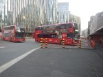
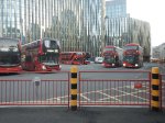
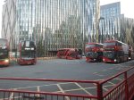
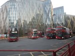
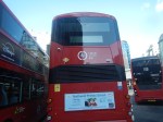
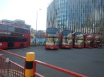
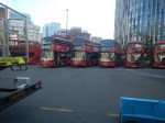
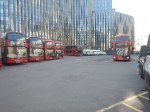
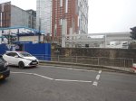
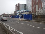
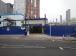
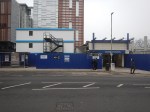
Comings And Goings Of Battery-Electric Buses On Route 242 At Aldgate Bus Station – 4th September 2025
I took these pictures of 242 battery-electric buses at Aldgate bus station, last night.
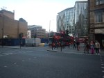
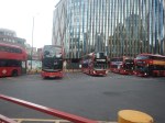
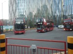


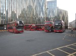
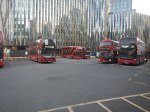
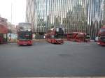
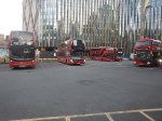
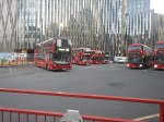
Note.
- All the buses on route 242, were Volvo BZL battery-electric buses.
- All the battery-electric buses backed onto the chargers for about ten minutes.
- Range on battery of the buses is probably about 214 miles according to Google.
- Buses arrived and left every few minutes.
- There was no indication, if the buses were charged at Aldgate bus station, although as the pictures show, some went dark for a few minutes.
If the buses were being charged, it certainly looked an efficient way to charge them.
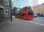
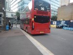
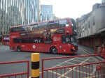
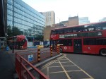
I took these pictures of 242 battery-electric buses at Aldgate bus station and in Dalston, this morning.
Note.
- All the electric buses are Streetlite Electroliners from Wrightbus.
- All Wrightbuses have a stylised ‘W’ on the front.
- The seventh picture shows the enlarged destination board on the back of the Streetlite bus.
Are Stagecoach running two different types of buses on the same route to ascertain the best and give the chargers a decent workout?
I have some further thoughts.
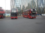
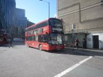
Could This Form Of Charging Be Used To Convert New Routemasters Into Electric Buses?
Consider.
- In Equipmake Hybrid To Battery Powered LT11, I show a battery-electric New Routemaster is possible.
- In Wrightbus Launches NewPower In Bicester, I write about Wrightbus’s new factory in Bicester to convert buses to battery power.
- In New Routemasters As Advertising Hoardings, I show how New Routemasters have a nice little secondary earner as advertising hoardings.
- New Routemasters have become a symbol of London.
- As pictures five to seven show, New Routemasters could share the chargers with younger battery-electric buses.
- There is still at least another dozen years left in most New Routemasters.
Converting a thousand New Routemasters must be cheaper, than buying a thousand new buses.
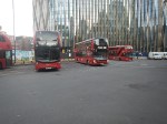
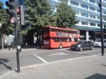
Could This Form Of Charging Be Used Outside London?
Most certainly, provided you can get enough power to the charger.
Aldgate doesn’t have a problem with power, as the Underground is underneath.
Unlocking Euston Station
I dread using Euston station.
The connections to the London Underground in the station, involve a long walk to or from your train and then outside the station to.
- The Northern and Victoria Lines just outside the station.
- The sub-surface lines at Euston Square station, which is a long walk.
There is no connection to the Lizzie Line.
I have probably written more project management software, than any other individual in the world.
Good project managers and probably a few bad ones too, talk about getting all your ducks in a row or doing everything in the right order.
If High Speed Two is going to terminate at Euston, then the first sub-project must be to connect Euston station properly to the Metropolitan, Circle and Hammersmith & City or sub-surface lines of the Underground, which have new spacious air-conditioned trains and run on a line that is digitally signally, so the capacity can be easily increased.
The sub-surface lines also link, the National Rail stations of Liverpool Street, Moorgate, Farringdon, King’s Cross, St. Pancras, Euston, Paddington, Victoria, Charing Cross and Blackfriars, and could be connected to Fenchurch Street and Marylebone. It also has links to the Lizzie Line.
Improve the interchanges and this marvelous Victorian system could unlock London’s transport system like no other.
Five years ago, a similar arrangement to that at St. Pancras was proposed with subways under Euston Road that linked to extended platforms at Euston Square Underground station, by means of lifts and escalators.
Why has this new link between National Rail at Euston and sub-surface Underground not been built? I estimate that it would have taken a couple of years and have fitted in with all the work being done in front of Euston station.
The current Mayor never mentions the project, but then it is a North London project, so it doesn’t interest him and his supporters.
The Design Of The Updated Euston Underground Station
Ian showed this visualisation of the updated Euston Underground station.
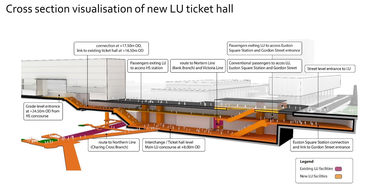
At a first look, it appears to be a very similar concept to the entrance to the Underground in front of St. Pancras station.
Click on the image to show it large and you can pick out the following.
- West is to the left and East is right.
- Much of the construction appears to replace the original car park and taxi rank.
- The upper level looks like where passengers enter and leave the station.
- The subway to Euston Square station and the new Gordon Street entrance joins to the upper level towards the Eastern end.
- There is grade access between the upper level and the High Speed Two concourse.
- There are lots of escalators to travel between levels. The square orange columns could be lift towers.
- The lower level is the Interchange/Ticket Hall level.
- The lower level is not much higher than the Charing Cross branch of the Northern Line.
- The design seems to make clever use of levels to make changing easier.
- The access between the lower level and the Charing Cross branch of the Northern Line at the Western end of the station, appears to be comprehensive and step-free.
- The access between the lower level and the Victoria Line and the Bank branch of the Northern Line, appears to use the current route, which will probably be upgraded to be fully step-free.
This second image shows the design from above the platforms of the conventional section of Euston station.
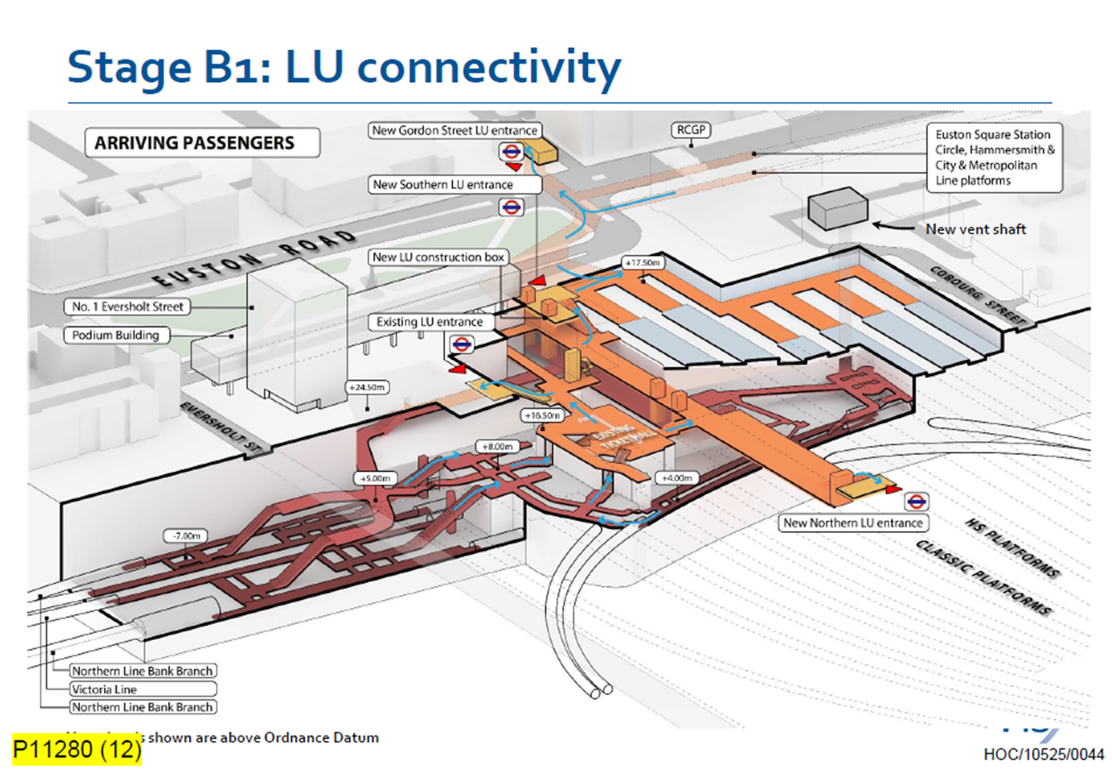
Click on the image to show it large and you can pick out the following.
- The complicated passages, escalators and lifts of the existing four platforms serving the Bank branch of the Northern Line and the Victoria Line.
- The cross passage connecting these lines to the platforms of the Charing Cross branch of the Northern Line.
- The two up and two down escalators leading to the existing ticket hall.
- The Charing Cross branch of the Northern Line curving in and away from the station. See the earlier map of the Underground lines.
- The eleven High Speed platforms on the West side of the station.
- The thirteen Classic platforms on the East side of the station.
- The new Northern entrance to the Underground between the two sets of platforms. How convenient!
- There appears to be a wide passage between the Northern and Southern entrances, with connections to the lines branching off.
- The subway to the new Gordon Street entrance is shown at the top of the image.
The design seems to have separated access to the two branches of the Northern line, by creating a new high-capacity route to the Charing Cross branch.
I also think, that the design allows the station to be built without disrupting passengers using the Underground and the current Euston station.
- A large hole for the station can be excavated, without touching existing access.
- It could then be fitted out section by section.
- Once the new access to the Charing Cross branch of the Northern Line is complete, the current access to the Northern and Victoria Lines can be refurbished.
Arriving At Euston
Imagine you are a passenger arriving from the North, who knows the Underground line, you need to take, you would then enter the Underground station using the new Northern entrance.
- For the Bank branch of the Northern Line or the Victoria Line, you would go through the existing ticket hall and down the escalators, much as you do now! Except that you’d enter the ticket hall on the other side from the East side of the passageway connecting the two entrances. New lifts appear to be shown.
- For the Charing Cross branch of the Northern Line, you would take the passages, lifts and escalators on the West side of the passageway connecting the two entrances.
- If you wanted the sub-surface lines, you would just keep going and take the new subway, which connects to the Eastern ends of the platforms at Euston Square station.
It will certainly do me fine, if I arrive at Euston, as I’ll walk through the subway and get in the front of any Eastbound train for Moorgate station, where being in the front is convenient for the exit and the nearby bus stop to my home.
This route will surely be one of the ways arriving passengers at Euston will get Crossrail to Abbey Wood, Canary Wharf and Shenfield stations. In Crossrail – Northern – Northern City Interchange At Moorgate Station, I show some visualisations of Moorgate station and the connectivity.
After 104 Years UK’s Longest Train Route Is Cancelled For Ever
The title of this post, is the same as that of this article on The Times.
These three paragraphs describe the last journey.
With a muted fanfare the UK’s longest train rolled out of Aberdeen on Friday morning for its final sojourn down to Penzance, ending a service that connected both ends of the country for more than 100 years.
The 8.20am CrossCountry train took 13 hours and 20 minutes, with stops at 35 stations along the way, to cover the 774-mile route. Passengers spent more than two hours of the journey in the stations.
The service, which was launched in 1921, headed south through York, Bristol, Taunton and Truro on its way past some of the country’s finest landscapes, and arrived in Penzance at 9.31pm.
Looking at a ticket site and it appears that by using two trains from Aberdeen to King’s Cross and Paddington to Penzance you can be a few minutes faster, if you know your Underground.
This route will get quicker.
- As the East Coast Main Line rolls out its new digital signalling, this should speed up trains, by allowing some running at 140 mph instead of the current 125 mph.
- LNER will also be bringing their new tri-mode (electric/battery/diesel) trains into service, which could give some speed improvements on the diesel section North of the Forth Bridge in terms of speed and ride noise, especially as ScotRail will be partially electrifying part of this section.
- GWR should also be upgrading some of their fleet to tri-mode, which should improve speed and ride noise on the sections, where the route is not electrified.
- CrossCountry could compete, by buying new trains, but it would be a big financial risk, as the London route should get quicker, as track improvements and increased use of digital signalling speed up services from London to Aberdeen and Penzance.
CrossCountry ‘s owner; Arriva isn’t standing still, but have applied for extra Grand Central open access services on the East Coast Main Line to Scunthorpe and Cleethorpes and a new service from Newcastle to Brighton via Birmingham, which will partly fill the gap caused by the loss of the Aberdeen and Penzance service, by linking with GWR at Reading and LNER at Newcastle.
Is The Silvertown Tunnel A Silver Elephant?
I have been through the Silvertown Tunnel several times now and every time the bus has never really slowed for lots of traffic.
I went through this morning on Easter Sunday and these pictures show all the other traffic I saw.
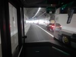
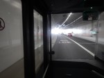
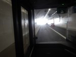
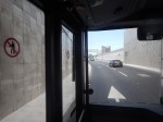
Note.
- I was sitting in the front passenger seat of a 129 bus, which is on the left of the bus.
- We were going from South to North through the Silvertown Tunnel.
- I could read the driver’s speedometer and it showed within a mile per hour of thirty all the way.
- We were passed by only one car in the tunnel.
- There were about a dozen passengers on the lower deck of the bus.
- I didn’t check how many were on the top deck of the bus.
Even on an Easter Sunday, I would have thought the service would have been busier.
Is The Silvertown Tunnel A Silver Elephant?
There are two answera to this question.
- Yes – A lot of money has been spent for just a few cars and bus passengers to have an easy ride through the tunnel.
- No – As traffic is flowing freely through the tunnel, it shows the tunnel is doing its job and freeing up traffic in East London.
But whatever view you take, a lot of money has been spent for a small number of vehicles and passengers to pass through the tunnel.
I also suspect very little extra revenue is being generated.
The Jubilee Line Was Busy
The complete route I took this morning was as follows.
- Home To Angel – 38 bus – Not very busy.
- Angel to London Bridge – Northern Line – Not very busy.
- London Bridge to North Greenwich – Jubilee Line – All seats taken.
- North Greenwich to West Silvertown – 129 bus – Not very busy.
- West Silvertown to Canning Town – Docklands Light Railway – Not very busy.
- Canning Town to Canada Water – Jubilee Line – All seats taken.
- Canada Water to Dalston Junction – Overground – Not very busy.
- Dalston Junction to Home – 30 bus – Not very busy.
Note.
- Only the sections on the Jubilee Line were really busy, with all seats taken.
- London Bridge, Stratford and Waterloo stations on the Jubilee Line are also busy National Rail stations.
- London Bridge, Canada Water, North Greenwich, Canning Town and Stratford all have large modern well-designed bus stations within easy walking distance of the Jubilee Line.
- Given, that there is now a charge to cross the river, have a lot of people decided to take the Jubilee Line rather than their car to go to the O2 at North Greenwich and the Olympic Park and Eastfield at Stratford?
I strongly feel, that more capacity is needed on the Jubilee Line, as no matter what time I use it, I never seem to get a seat.
Taking The Dover Road
This Google Map shows how the A2 ( the Dover Road) links up with the Silvertown and Blackwall Tunnels.
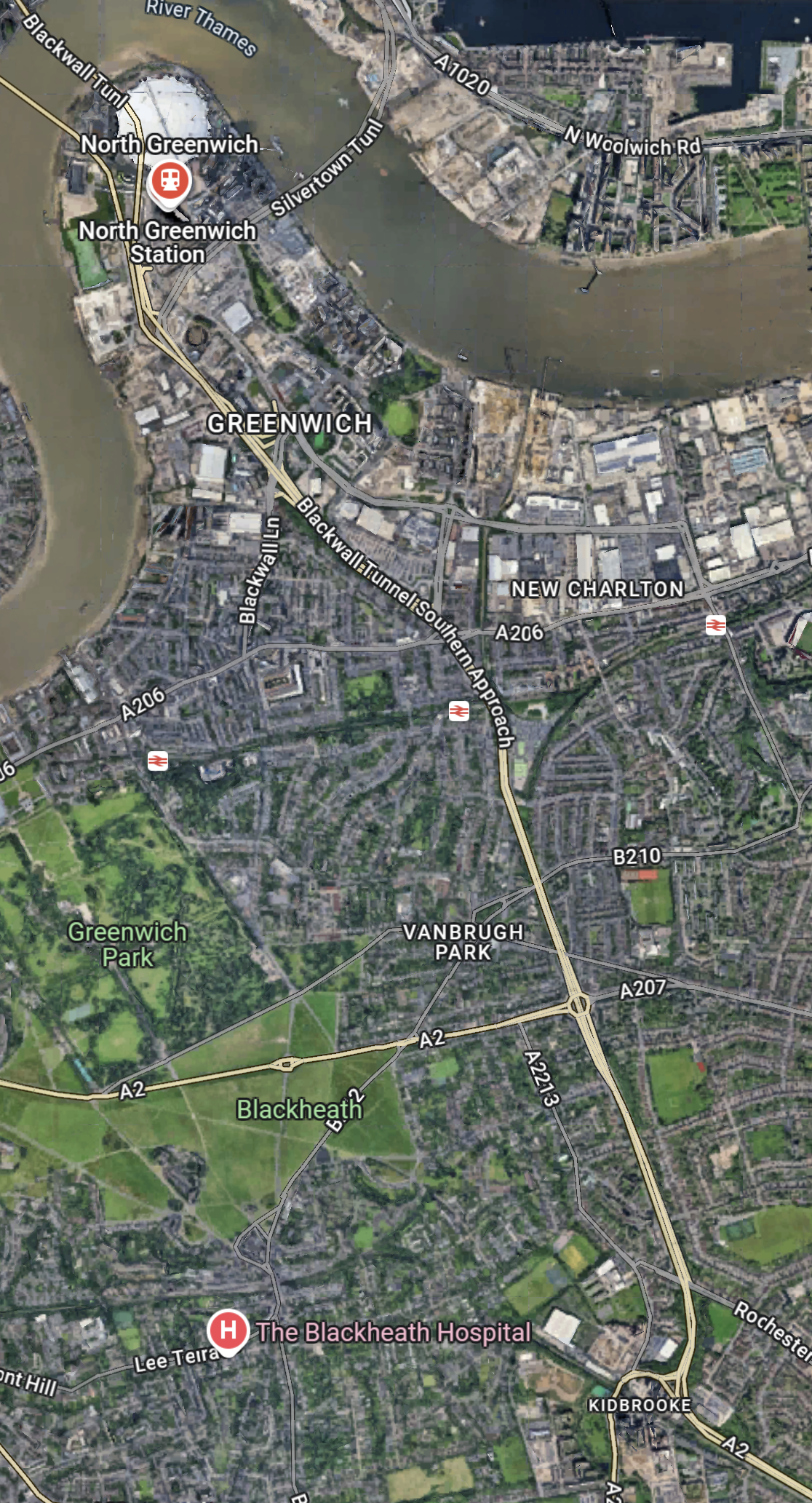
Note.
- The O2 in the North-West corner of the map, with North Greenwich station in red under it.
- The Blackwall Tunnel crosses the river to the North-West of the O2.
- The Silvertown Tunnel crosses the river to the East of the O2.
- Running diagonally across the map is the Blackwall Tunnel Southern Approach, which also serves the Silvertown Tunnel.
- The station to the West of the Southern Approach is Westcombe Park station.
- Click the map to show it to a larger scale.
This second Google Map shows the O2, North Greenwich station and the approaches to both tunnels.
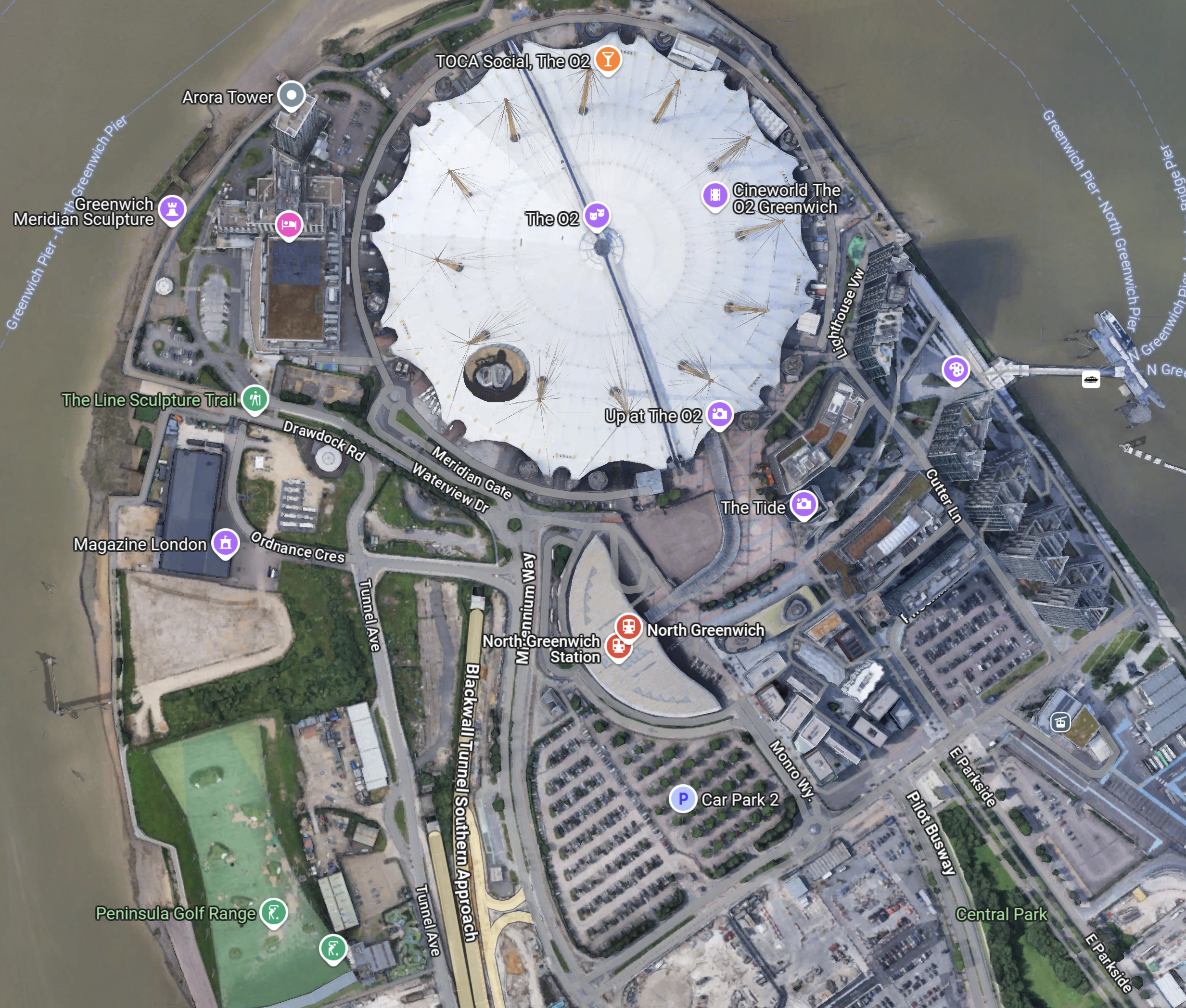
Note.
- The half-moon-shaped building is North Greenwich station.
- The tunnel approaches are rather complicated, but seem to be working well.
- There is lots of car parking.
- The Blackwall Tunnel Southern Approach leaves the tunnles in a Southerly direction.
- Click the map to show it to a larger scale.
This third Google Map shows how the A2 (Dover Road) and A20 (Folkestone Road) link up to the Blackwall Tunnel Southern Approach.
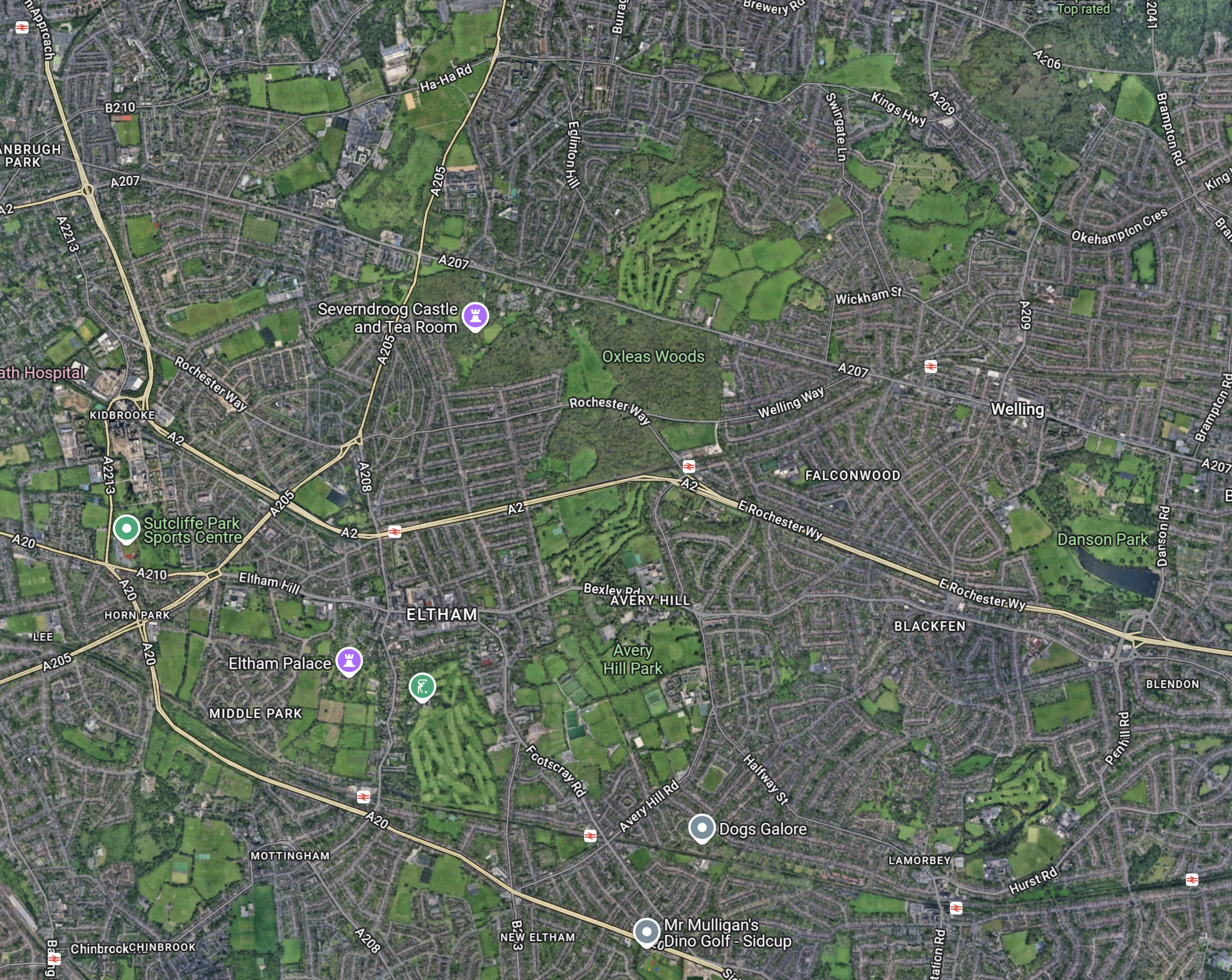
Note.
- The station in the North-West corner of the map is Westcombe Park.
- The road running diagonally South-East from the corner is the Blackwall Tunnel Southern Approach.
- The Blackwall Tunnel Southern Approach then turns East to join with the A2 (Dover Road).
- The Blackwall Tunnel Southern Approach also links up with the A20 (Folkestone Road) , which is the other road running diagonally at the bottom of the map.
In some ways, I am rather surprised at how little traffic is passing through the tunnels given this double dual-carriageway/motorway connection to East Kent, the Channel Tunnel and the Continent. It also has a double connection at both the A2 and A20 to join the M25.
Perhaps, it does mean that the charges are frightening drivers away.
The Roads To The North
This Google Map shows the main approach road to the Blackwall Tunnel.
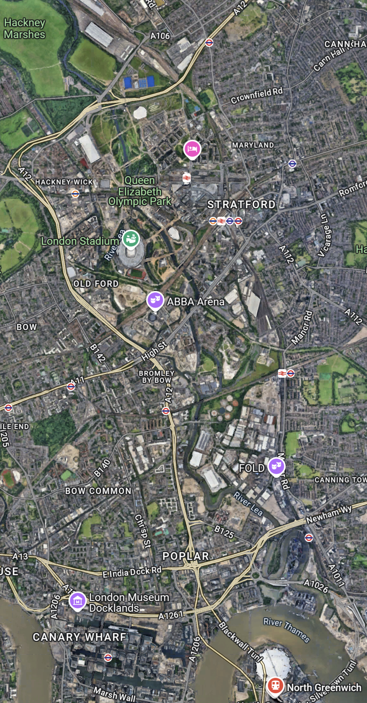
Note.
- The O2 and North Greenwich station in the South-East corner of the map.
- The Blackwall Tunnel crosses the river to the North-West of the O2.
- The A12 dual-carriageway runs North up the Lea Valley through Hackney.
- There is a dual-carriageway/motorway box formed by the M11 in the West, A12 in the East, M 25 in the North and A 406 in the South to speed traffic on its way, including to the two main routes to the North; the M1 and the A1.
I have lived for thirty years of my life in North London, and I feel, that although the roads to the North of London could be improved, I don’t suspect they are the reason drivers are not using the Silvertown and Blackwall Tunnels.
I would suspect that drivers don’t like or trust the charging system, or could it be that the public transport system in London and especially the East of London is too good?
But we do need to increase the capacity of the Jubilee Line either directly or would a high-capacity bus-route shadowing the line, be able to add the extra capacity needed?
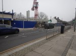
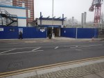
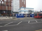
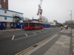
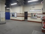
Are There Any Plans For The Bay Sub-Surface Platforms At Moorgate Station?
I use Moorgate station regularly, as there’s a Leon Restaurant just outside the station, that looked after me properly during the Covid-19 Pandemic, so when I’m in the area and need feeding I pop in.
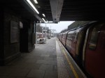
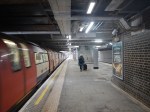
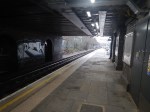
These pictures show the four bay platforms on the Sub-Surface lines.
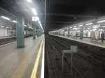
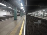
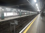
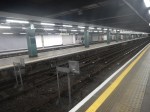
Note.
- The pair of platforms to the left or South are numbered 5 and 6 and used to handle Thameslink trains, that ran to Moorgate station.
- Platforms 5 and 6 used to be electrified with 25 KVAC overhead wires.
- The pair of platforms to the right or North are numbered 3 and 4 and are used to terminate some Metropolitan Line services at Moorgate station.
- Platforms 3 and 4 are electrified with London Underground four-rail electrification.
- The number for Platform 4 can clearly be seen.
This map from cartometro shows the track layout in Farringdon, Barbican and Moorgate stations.
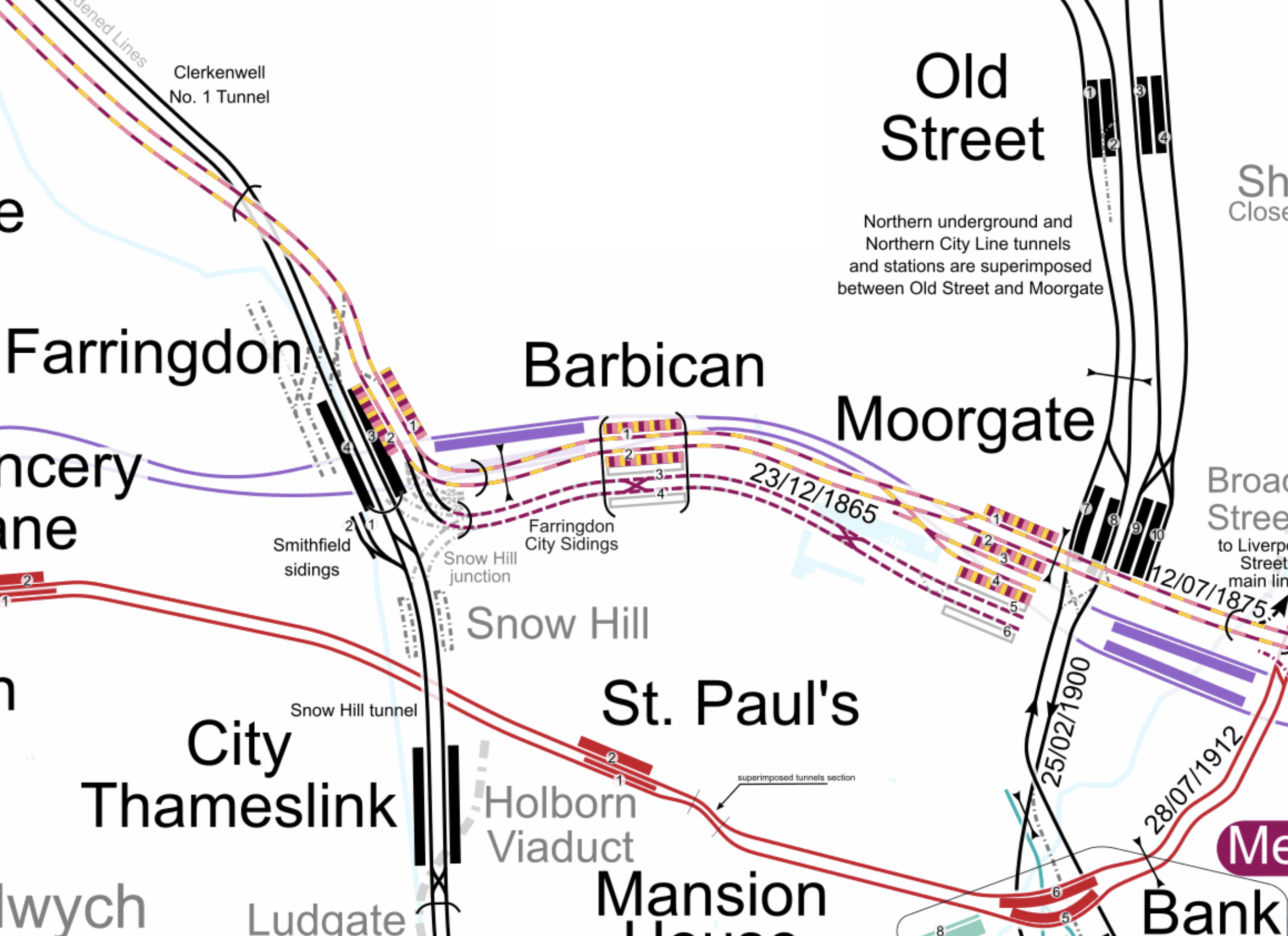
Note.
- The multi-coloured tracks and platforms of the Metropolitan, Circle and Hammersmith & City Lines running through Platforms 1 & 2 at Farringdon, Barbican and Moorgate stations.
- The multi-coloured tracks and platforms of the Metropolitan, Circle and Hammersmith & City Lines terminating in Platforms 3 & 4 at Moorgate station.
- The purple tracks and platforms of the Elizabeth Line running underneath the Metropolitan, Circle and Hammersmith & City Lines and their stations.
- The maroon and white tracks and platforms of Thameslink running through Platforms 3 & 4 in Barbican station and terminating in Platforms 5 & 6 at Moorgate station.
- The black tracks of Thameslink running through Farringdon and City Thameslink stations.
- It would appear there used to be two junctions to allow trains from Moorgate to go North through Farringdon station or South through City Thameslink station.
- The Thameslink tracks have two useful crossovers.
- The black tracks of the City branch of the Northern Line running through Old Street, Moorgate and Bank stations.
- The black tracks of the Northern City Line running through Old Street station and terminating in Moorgate station.
- The red tracks of the Central Line running through Chancery Lane, St. Paul’s and Bank station.
Because of the layout of the various tracks new connections and improvements may be possible.
Extending The Northern City Line To Bank Station
In Walking Along Moorgate – 30th September 2020, I describe some of the possibilities opened up by the design of Moor House, which has been built to allow more tunneling underneath.
I believe two extensions South from Moorgate station would be possible.
- It was intended by the builders of the Northern City Line, to take the route to just North of Bank station at Lothbury.
- Has The Possibility Been Created For A Pedestrian Tunnel Between Bank And Moorgate Stations?
Note.
- As the extension to Bank station has dug tunnels all over the place, I would expect that the engineers on that project would have a good idea on the best way to connect Moorgate and Bank stations.
- I usually use the Northern Line between Moorgate and Bank stations, but sometimes the Northern Line is rather crowded.
- The Northern City Line is being resignalled and may have an increased number of trains, so more passenger capacity may be needed.
- If a new station were to be built at Lothbury, it might be possible to improve step-free access to the Northern City Line.
- A new station on the Northern City Line and a pedestrian tunnel could connect to the newly-installed travelator at Bank station.
There are certainly serious possibilities to improve connections between Moorgate and Bank stations.
Could Metropolitan Line Trains Be Turned At Moorgate Station?
Currently, there are eight trains per hour (tph) between Aldgate and Uxbridge in the Off Peak.
With the new signalling on the Sub-Surface Lines would it allow more trains to operate, if some Metropolitan Line services were terminated in Platforms 3 & 4 at Moorgate station.
Would It Be Worthwhile To Run Thameslink Trains Again Into Moorgate Station?
It would only need to terminate trains from the North, as trains from the South can terminate at Black friars Station.
Perhaps a two tph service from a convenient station would suffice.
A Pedestrian Connection Between City Thameslink Station And St. Paul’s Tube Station
I covered this in A Pedestrian Connection Between City Thameslink Station And St. Paul’s Tube Station.
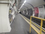
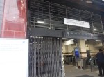
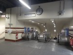
Colindale Tube Station – 26th December 2024
Colindale station opened on Friday, so I went to have a look.
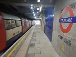
Note.
- Although not finished, it certainly works safely as a station.
- Currently, there is a one way system for passengers.
- It appears a lift is being installed.
- The lift shaft appears to be labelled as Cornish Concrete Products.
- Wikipedia reports that two large towers with 300 new homes will also be built directly adjacent to the new station building.
- There are no ticket barriers.
- On the platforms, there are no information screens! But maps are present.
How many other of London’s Underground stations need a rebuild to bring them up to a modern standard with respect to disabled access?
Housing Over Railway Stations
With a shortage of housing in the UK, should we be building more housing like this?
- Apartments over a step-free railway station.
- Shops and cafes at the ground level.
- Buses and taxis for local transport.
- Green space – There is a park opposite the station.
- Parking as needed.
As a non-driver, an apartment like this might just do for me!
But not in Colindale!
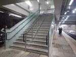
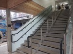
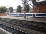
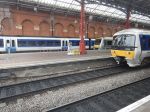
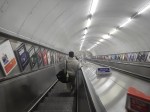
Kentish Town Station – 24th December 2024
Kentish Town station reopened today after the fitting of two new escalators.
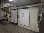
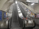
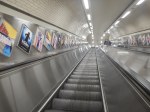
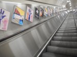
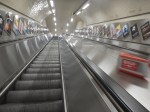
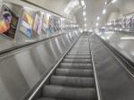
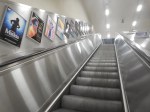
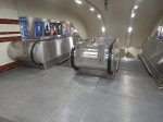
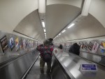
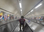
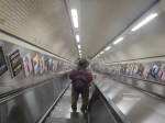
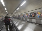
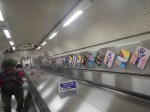
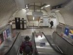
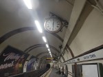
It appears that only the two escalators have been replaced and the station has been redecorated.
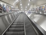
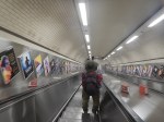
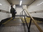
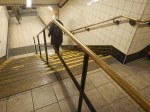
The Guy With The Hat
Note in the pictures(18-24) going down the escalator, I was following a guy in a checked shirt and a wide-brimmed hat.
When a train was entering the station below he was having difficulty because of the updraft keeping hold of the hat.
Does This Station Need A Lift?
This article on the BBC is entitled Kentish Town Tube Station Reopens After 18 Months.
Nothing is said about why the eighteen months wasn’t used to fit a lift to make the station fully step-free.
There have been two Mayor’s Questions about putting in lifts at Kentish Town station and both answers were similar. This was the first answer.
TfL has carried out a high-level investigation into installing lifts at Kentish Town. It has indicated that the scheme would involve digging new tunnels and installing a new lift shaft in a very constrained worksite adjacent to the main road and busy operational railways. Due to the complexity of this project and therefore high estimated cost, in the region of £40m, Kentish Town is not being considered as part of the £200m five-year programme.
This Google Map shows Kentish Town station.
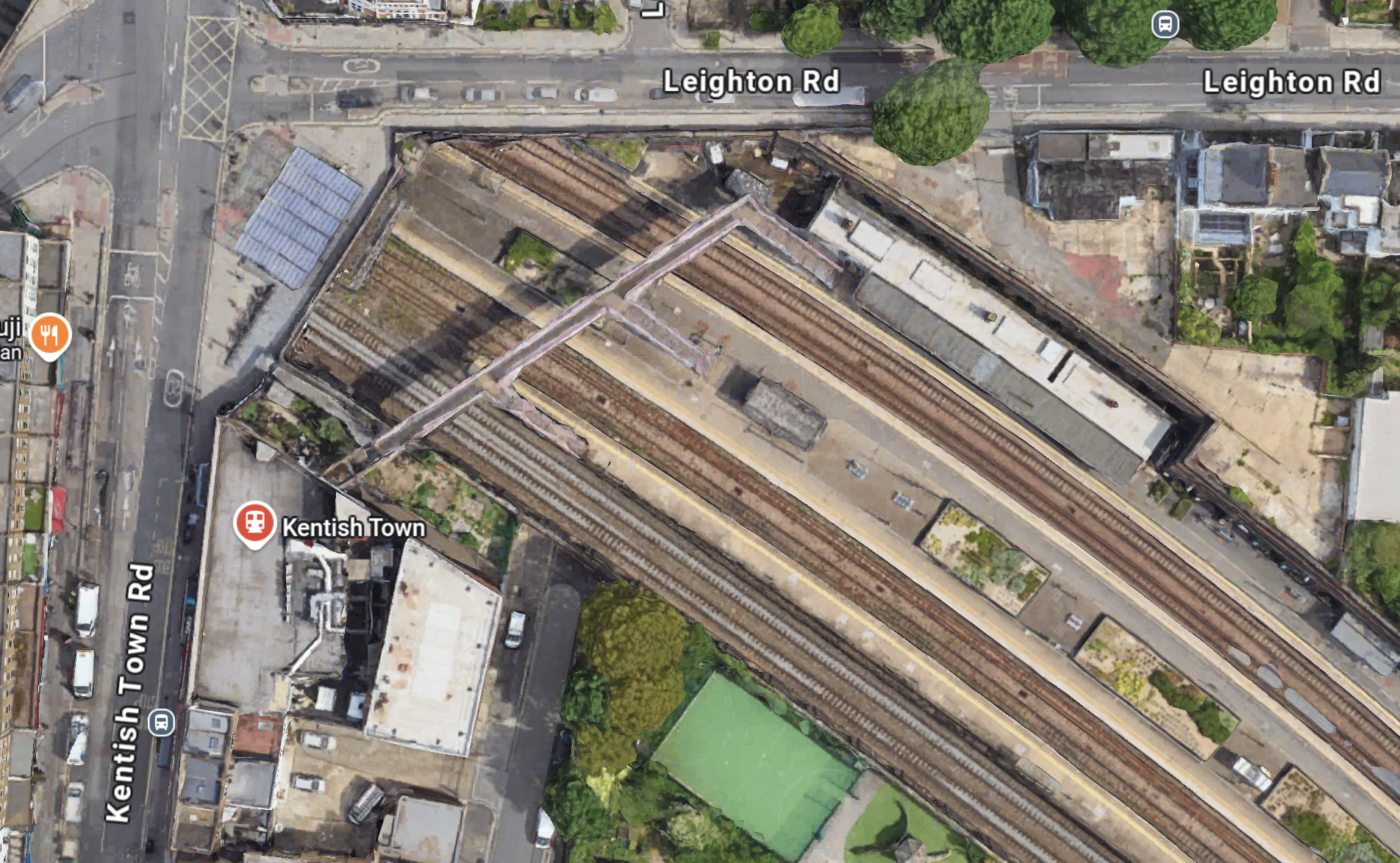
Note the footbridge over the station leading over the National Rail station to the Underground station marked by the red logo.
In any scheme to make all of Kentish Town station step-free, this bridge would surely be made step-free or replaced by perhaps a tunnel under the railway.
Costs would be very high, even with a very expensive development on top, which was making a contribution.
Unless an architectural genius comes up with a better scheme, I think what has just been installed, will be the best that can be provided.
Camden Council will probably find it better to send disabled taxis.
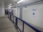
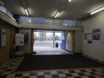
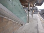
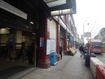
Improvements At Marylebone Station – 15th October 2024
I passed through Marylebone station today and took these pictures of the improvements.
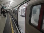
Note.
- The Class 165 and Class 168 trains are being refurbished.
- The Chiltern gate line has been improved.
- A wider ticket gate line has been installed in the Underground station.
- The stairs to the Bakerloo Line has been replaced with a third escalator.
- The last picture shows the lack of grab handles in the doors of Bakerloo Line trains.
It certainly looks like Chiltern Railways and its assets are improving.
