Heads Of The Valleys Road Upgrade Officially Opens
The title of this post, is the same as that of this article on BusinessNewsWales.
This is the sub-heading.
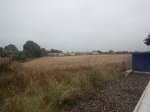
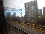
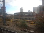
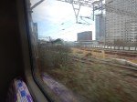
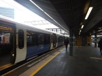
The final phase of the £2 billion Heads of the Valleys Road upgrade programme has officially opened.
These first two paragraphs add detail to the project.
The Welsh Government said it marked the completion of “one of the UK’s largest and most technically challenging road projects”.
The £1.4 billion Section 5&6 Dowlais to Hirwaun final phase links the Valleys, South and West Wales to the English Midlands and beyond, together with ports serving Irish and other European destinations. As well as improving the resilience of the South Wales trunk road network, the road provides a vital link across the top of the South Wales valleys for the Metro project improving links to the Cardiff and Swansea Bay City Regions, the Welsh Government said.
From the statistics of work done and the money involved, it would appear that a comprehensive upgrade has fixed a big gap in the UK’s motorway network in South Wales.
This Google Map shows the locations of Dowlais and Hirwaun.
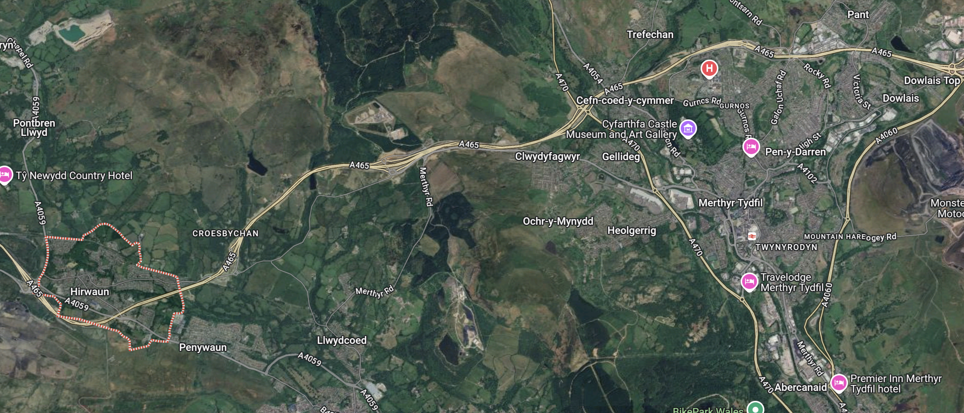
Note.
- Dowlais is in the North-East corner of the map.
- Hirwaun is in the South-West corner of the map and is outlined in red.
- The Heads of the Valleys Road links Dowlais and Hirwaun.
- Going East from Dowlais leads to Abergavenny, Monmouth, Raglan and the English Midlands.
- Abergavenny has a station, but Monmouth and Raglan don’t!
- Abergavenny station has comprehensive services to stations as far apart as Cardiff, Crewe, Holyhead, Manchester Piccadilly, Swansea and Wrexham General.
Abergavenny station could eventually turn out to be a parkway station for the South Wales Valleys.
I can certainly understand, why Lumo wants to run a service to Hereford.
I also feel that the Welsh government and Transport for Wales would be in favour of the service.
- Three towns in Wales; Cwmbran, Pontypool and Abergavenny get a direct service to Bristol Parkway and London Paddington stations.
- Hereford already has an hourly connection to Birmingham New Street via Worcester and University.
- If a coach were to be provided between Bristol Parkway and Bristol Airport, this could make getting to Bristol Airport easier.
I can see further improvements to services, that terminate at Abergavenny.
enfinium Announces Proposal For £200m Investment In Carbon Capture Project In North Wales
The title of this post is the same as that of this press release from enfinium.
This is the sub-heading.
The project could be capable of capturing up to 235,000 tonnes of CO2 every year, accelerating efforts to achieve net zero.
The first two paragraphs outline the project.
Today, enfinium, a leading UK energy from waste operator, announces it is progressing plans to invest around £200 million in carbon capture and storage (CCS) technology at the Parc Adfer energy from waste facility in Deeside, North Wales, providing vital carbon removals and boosting the green economy.
The project could capture up to 235,000 tonnes of carbon dioxide (CO2) every year. As over half of the waste processed at the facility is organic, installing CCS would enable the plant to take more CO2 out of the atmosphere than it produces. The Welsh Government’s Carbon Budget makes clear that Wales needs carbon removal solutions to mitigate other polluting parts of the economy to achieve a Net Zero economy.
The press release also says this about Paec Adfer.
Opened in 2019 in partnership with the five local authorities that make up the North Wales Residual Waste Treatment Partnership (NWRWTP), Parc Adfer currently diverts up to 232,000 tonnes of unrecyclable waste from climate damaging landfill. As recognised by the National Infrastructure Commission, emissions from energy from waste plants are lower per tonne of waste compared to landfill.
With CCS installed, Parc Adfer will support the Welsh Government’s ambition to have 100% zero carbon power by 2035 and support over 1,000 jobs in the green economy during the construction phase.
This Google Map shows the location of Parc Adfer, with respect to Liverpool and the River Dee.
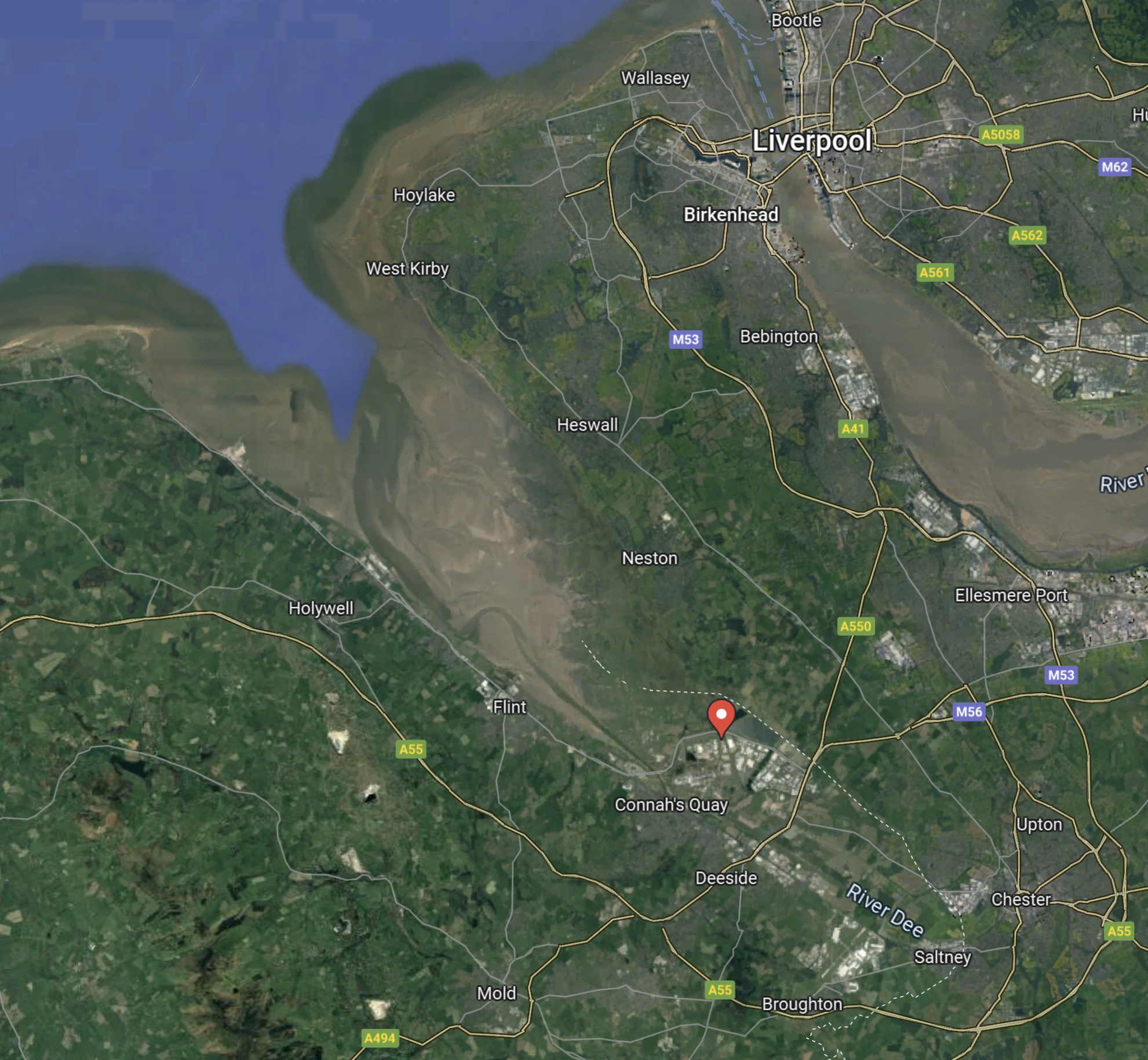
Note.
- Liverpool is in the North-East corner of the map.
- Chester is in the South-East corner of the map.
- The Dee Estuary is in the North-West corner of the map.
- The red arrow indicates the location of Parc Adfer.
This second Google Map shows the location of Parc Adfer in Deeside Industrial Park, which is just over the England-Wales border.
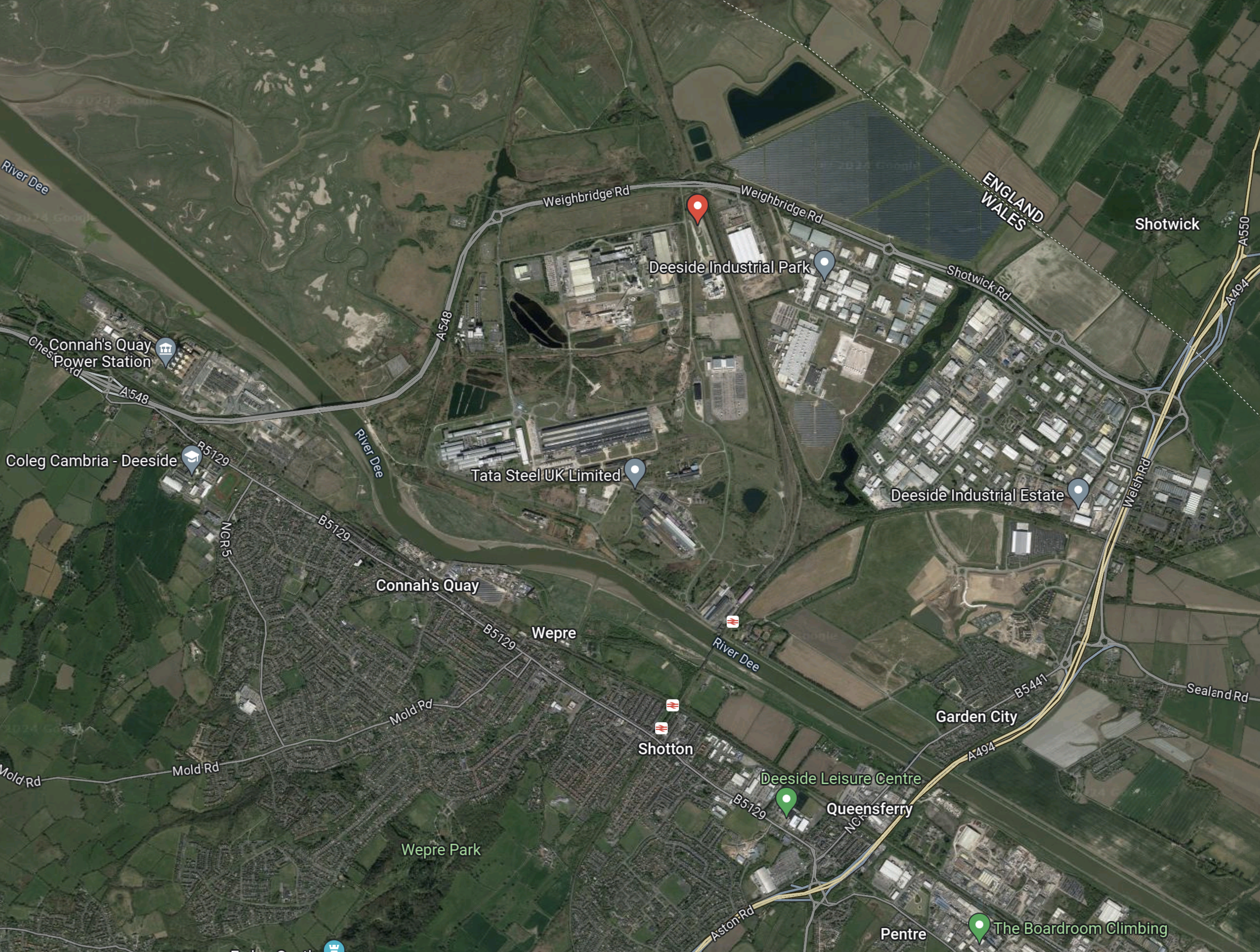
As before, the red arrow indicates the location of Parc Adfer.
This third Google Map shows the detailed area of Parc Adfer.
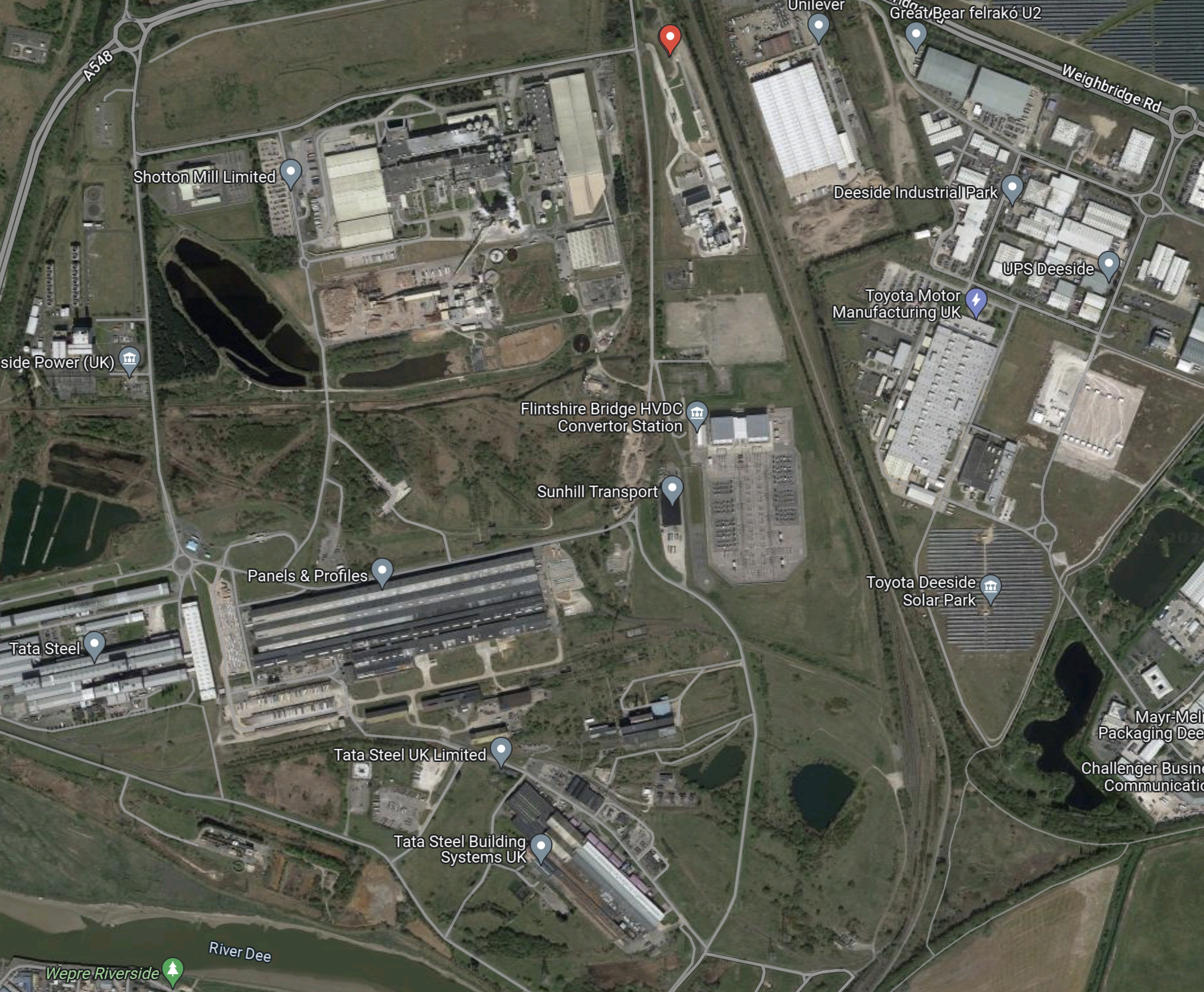
Note.
- The red arrow indicates the location of Parc Adfer.
- The Borderlands Line between Liverpool and Wrexham runs alongside the site.
- Around Parc Adfer are assorted steel works and the Flintshire Bridge HVDC Convertor Station for the Western HVDC Link to Hunterston in Scotland.
- On the other side of the tracks are Amazon, Great Bear Distribution, Toyota, Unilever and the Toyota Deeside Solar Park.
These are my thoughts.
Parc Adfer Has Excellent Electrical Connections
In addition to the 2.25 GW Western HVDC Link to Hunterston, there are following power sources in the area.
- The wind farms of Liverpool Bay.
- The 1.4 GW Connah’s Quay power station.
- The 498 MW Deeside power station.
From the enfinium web site, it looks like Parc Adfer will generate 21 MW of zero-carbon energy from waste.
Will Parc Adfer Have A Rail Connection?
According to the enfinium web site, Parc Adfer will process waste from Flintshire County Council, Denbighshire County Council, Conwy County Borough Council, Gwynedd Council and the Isle of Anglesey County Council.
I have arranged these councils in order from East to West and all are served by the North Wales Coast Line.
This OpenRailMap shows the rail connection between Parc Adfer and the North Wales Coast Line.
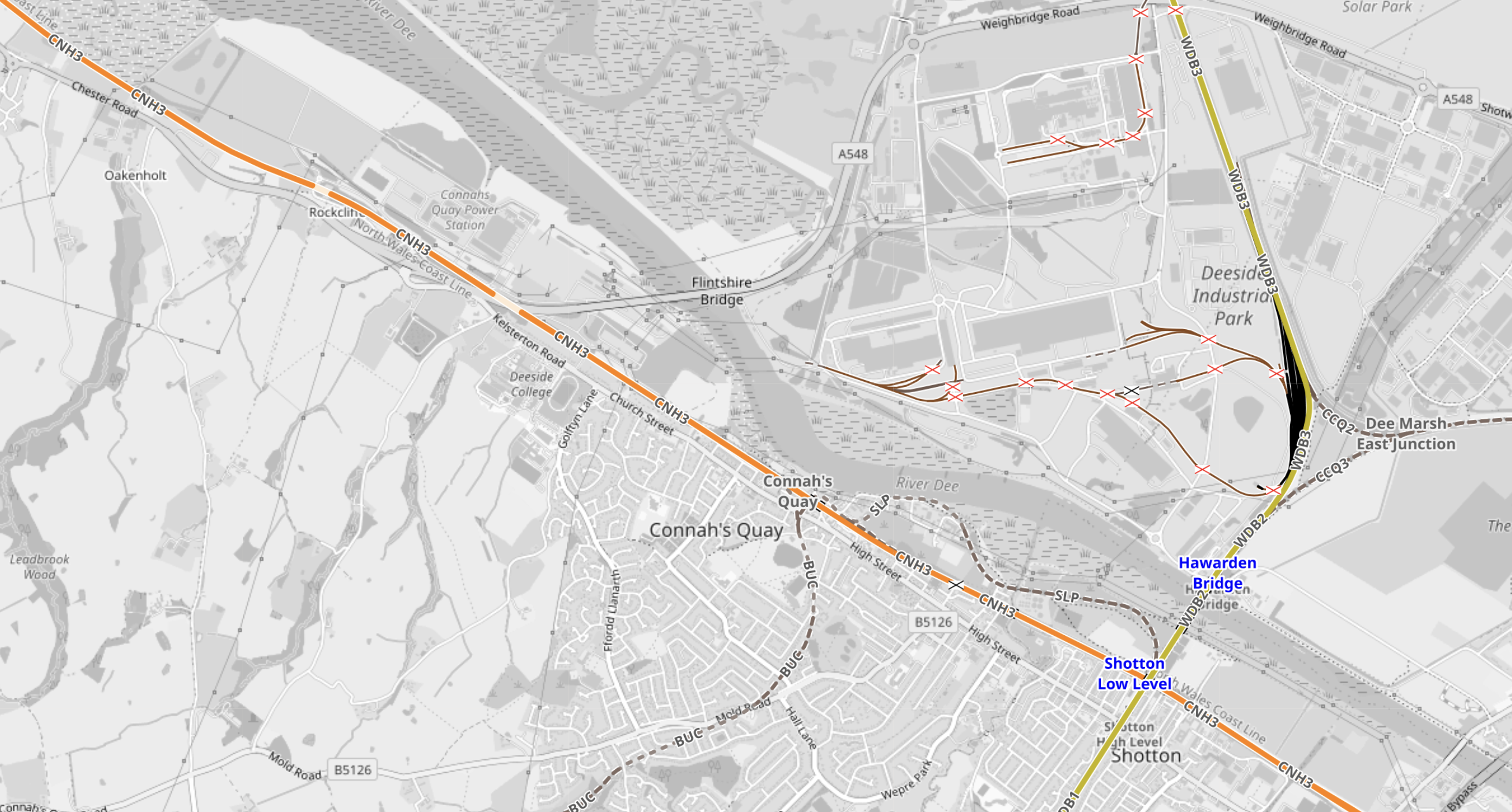
Note.
- The Borderlands Line is shown in yellow and runs between Liverpool and Wrexham.
- The Borderlands Line runs past Parc Adfer just off the North of the map.
- The North Wales Coast Line is shown in orange and runs between North Wales and Chester.
- There are two stations at Shotton; High and Low Levels, which allow a passenger connection.
Unfortunately, there is no rail connection for trains which would allow freight services between Parc Adfer and North Wales.
A section called Future, in the Wikipedia entry for Shotton station, says this about upgrading the station.
In March 2015 Network Rail published the draft version of their Welsh Route Study. It contained a proposal to build a new interchange station that would replace the existing High and Low Level stations, allowing for greater connectivity between the North Wales Coast Main Line and the Borderlands Line. The document recommended a transport planning study to establish the cost, feasibility and benefits of the proposed scheme.
It appears to be likely, that no rail route will be created to allow freight services between Parc Adfer and North Wales.
Deeside Parkway Railway Station
It does appear that a parkway station at Deeside Parkway is a possibility.
This is the opening paragraph of the Wikipedia entry for Deeside Parkway station.
Deeside Parkway is a proposed railway station situated between Neston and Hawarden Bridge on the Borderlands Line. The station is intended to serve the Deeside area of Flintshire, North Wales, particularly the Deeside Industrial Park.
The station is proposed to be park of the North Wales Metro, which is described in this Wikipedia entry.
Is London’s ULEZ Already Having An Affect On Train Travel?
Consider.
- There has been a lot of negative publicity about the ULEZ expansion, which starts on Tuesday, the 29th August, 2023.
- I doubt there are few people who will be affected by the expansion, who don’t know about it.
- I suspect many have calculated how much the ULEZ expansion will cost them.
I also suspect that some will have taken actions, which will have included.
- Bought a vehicle, that is ULEZ compliant to avoid the cost.
- Moving house or changing job may sound drastic, but the ULEZ expansion could be one of several reasons to make a large change to your lifestyle.
The easiest action, will be to increase their use of train travel, when they go inside the ULEZ.
Some may have already started to do this, so they know all the pitfalls before doing it seriously on a daily basis.
The Elizabeth Line
Over the last few months, I have written three posts about how busy the Western section of the Elizabeth Line can get.
- Very Busy Lizzie
- Elizabeth Line: Commuters Say Service ‘Not What Was Promised’
- So Many Cases On A Train!
I use the Elizabeth Line regularly and it seems to be getting even busier.
In May 2023, I wrote, these two posts.
- Elizabeth Line’s £29million Fares Bonanza As Passenger Numbers Hit New High
- Elizabeth Line Takes Fliers Away From Heathrow Express
Certainly, the Elizabeth Line is an undoubted success.
In the first of these linked posts, I suggest now might be the time to expand Elizabeth Line services.
Over the last week, I have made three trips to the outer reaches of the Metropolitan Line and I have been surprised at how busy the trains were.
Could it be that travellers are changing their routes before the ULEZ expansion kicks in?
New Trains And More Parkway Stations
Greater Anglia have replaced their commuter trains with new Class 720 trains and are building a new parkway station at Beaulieu Park.
This looks to me, that Beaulieu Park could be a ULEZ avoider.
Will other train companies use a similar strategy to attract more passengers?
Heathrow Is In The Expanded ULEZ
This page on the Heathrow web site is entitled London’s Ultra Low Emission Zone, Or ULEZ, Is Expanding To Encompass All Of Greater London, Including Heathrow Airport, From The 29 August 2023.
The Heathrow page is very informative and I suggest you read it, if you are taking a vehicle near Heathrow.
But the ULEZ will surely drive some Heathrow workers and travellers to use public transport, even if they live far from the ULEZ.
Conclusion
I suspect that more travellers will use the trains because of the ULEZ.
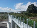
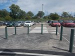
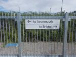
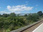
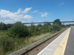
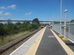
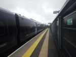
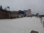
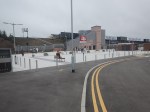
Portway Park & Ride Station – 10th August 2023
Portway Park & Ride station, opened on the first of this month, so I went to visit today.


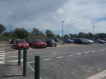
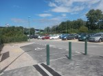
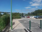
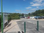
Note.
- The Portway Park & Ride is served by both buses and trains.
- Buses serve the City Centre and rugby and football at Ashton Gate stadium.
- Trains serve Avonmouth, Bristol Temple Meads, Severn Beach, Weston-super-Mare and a large number of other Bristol stations.
The M5 crosses over the railway to the West of the station.
This Google Map shows the M5 and the Portway Park & Ride.
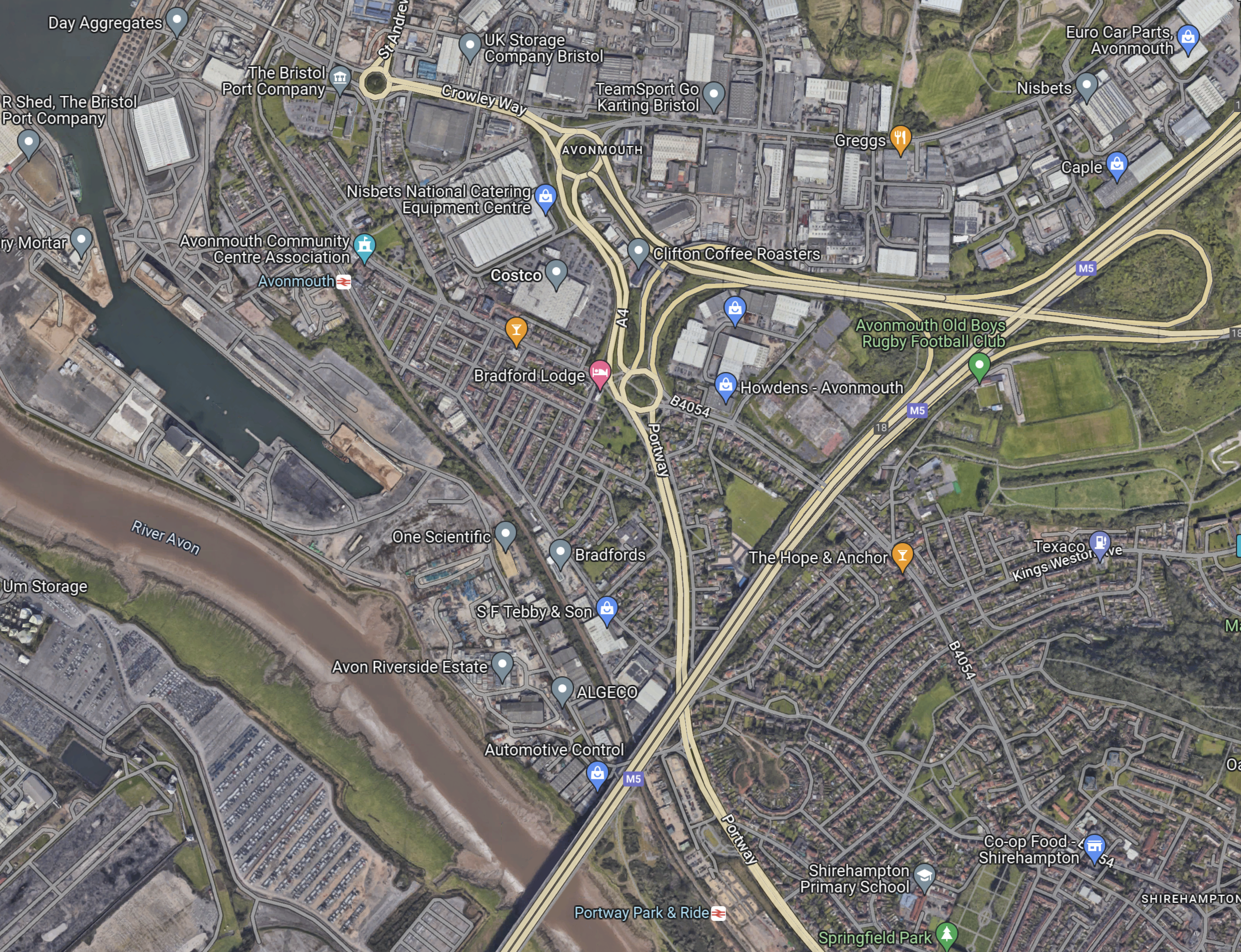
Note.
- The M5 goes diagonally SW-NE across the map.
- The wide river is the Avon.
- Portway Park & Ride with its station is in the middle of the bottom of the map.
- Avonmouth station is in the North-West corner of the map.
The Portway Park & Ride seems to be an extremely well-connected Park & Ride.
These are my thoughts.
Are There Any Other Park & Ride Sites, Where A Station Could Be Added?
Consider.
- I wrote about a possible new station at Leicester Forest East in A Station At Leicester Forest East.
- In A Look At New Station Projects, several possible Park & Ride stations are mentioned.
Has Portway Park & Ride been developed to see if sites served by buses and trains are a good idea?
Is Portway Park & Ride The Solution To Big Matches At Ashton Gate?
Consider.
- Ashton Gate Stadium has a capacity of 27,000.
- Wikipedia says that buses from Portway Park & Ride are used to bring supporters to games.
- The platform at Portway Park & Ride might be able to take a five-car Class 802 train for a big match.
I wouldn’t be surprised that Portway Park & Ride has been designed for large crowds at big matches at Ashton Gate.
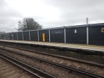
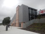
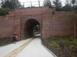
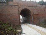
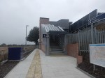
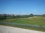
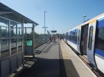
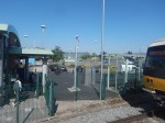
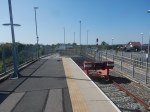
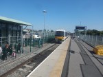
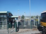
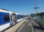
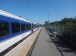
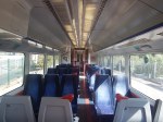
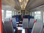
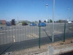
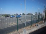
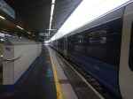
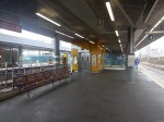
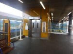
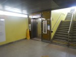
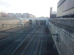
Thanet Parkway Station – 31st July 2023
Thanet Parkway station opened yesterday, so I went to have a look.
I took these pictures.
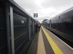
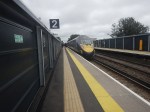
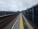
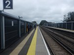
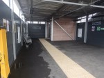
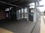
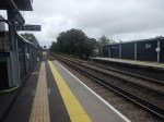


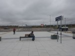
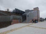
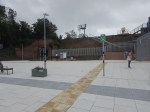
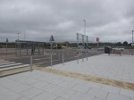
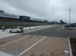
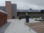
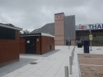
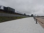


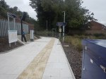


Note.
- I arrived in a twelve-car Class 395 train and the platforms handled it with ease.
- Both platforms are served by steep stairs and a lift.
- There seems to be 293 car parking spaces and 16 accessible spaces according to the National Rail information page.
- The only worthwhile architectural feature is the use of the existing tunnel to cross under the tracks.
But this station seems to be defined more by what it doesn’t have.
- No cafe or pub within walking distance.
- No convenience store to pick up a few supplies on the way home.
- No chargers for electric vehicles.
- No toilets.
- No staff.
It is a rather underwhelming station.
I have some further thoughts.
Last Train Home
In the early years of this century, C and myself would often spend a day in London, shopping, watching a show and probably having a meal.
- We generally used to drive up from Suffolk and would park near King’s Cross.
- Although, sometimes we would take the train from Whittlesford Parkway station to the South of Cambridge.
So out of curiosity, I looked at the last train to Thanet Parkway yesterday.
It had these times.
- St. Pancras International – 22:37
- Stratford International – 22:44
- Thanet Parkway – 23:50
- Ramsgate – 23:57
- Broadstairs – 00:02
- Margate – 00:07
It could enable long days out or late working in London.
Not Enough Trains
I believe that one train per hour (tph) is not a frequent enough service to London for this station.
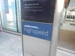
Other nearby stations have the following HighSpeed services to St. Pancras International.
- Ramsgate – 3 tph
- Broadstairs – 2 tph
- Margate – 2 tph
In addition, these three stations get a 1 tph stopping service to Victoria.
Perhaps there could be a Thanet Loop service from St. Pancras International.
- It would run via Stratford International, Ebbsfleet International, Gravesend, Strood, Rochester, Chatham, Gillingham, Rainham, Sittingbourne, Faversham, Whitstable, Herne Bay, Birchington-on-Sea, Margate, Broadstairs. Ramsgate, Thanet Parkway, Canterbury West, Ashford International, Ebbsfleet International and Stratford International.
- It would also run both ways at a frequency of 1 tph.
- I estimate that a train to go round the loop would take three hours and thirteen minutes.
This would probably mean fourteen trains would be needed to run the service.
I don’t think they probably have enough.
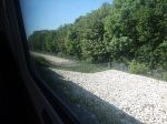
Aylesbury Vale Parkway Station – 4th June 2023
I went to Aylesbury and Aylesbury Vale Parkway stations today, to check out if my recent posts about the East West Railway are correct and take some pictures of the two stations.
This Google Map shows the layout of Aylesbury Vale Parkway station.

Note.
- The station only has a single bay platform.
- It appears that there is a step-free walk between the car park and the platform.
- There is no bridge or need for one.
- There is a single through line at the station on the opposite side to the car park, which is mainly used by trains going to the landfill at Calvert.
It looks from this map, that if the single platform were widened to an island platform, that both terminating and through trains could call in the station.
These are my pictures of the station.


Note.
- The second track can be seen in the eighth picture.
- I believe an island platform could be created between the two tracks.
- There is a substantial amount of car parking for 501 vehicles.
- There is a step-free connection between the platform and the car parking.
- There appears to be a good grid connection.
I believe that Aylesbury Vale Parkway station could be modified to be a single platform station on the Aylesbury Spur of the East West Railway, that I wrote about in East-West Rail: Aylesbury Spur.
This Google Map shows the area around the station.
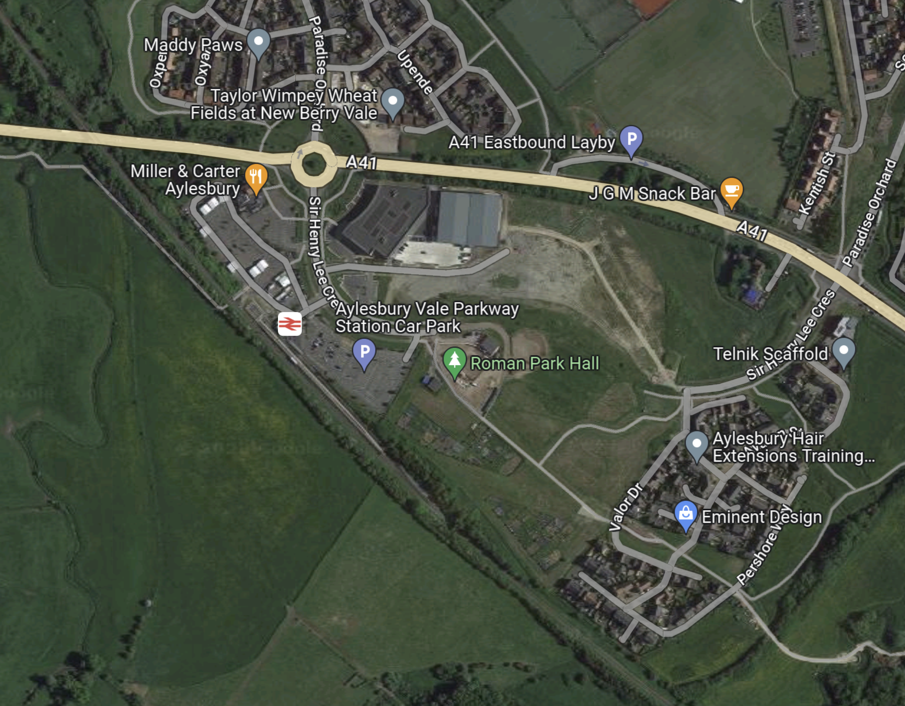
It shows how a parkway station can provoke development on an area.
Can Park-And-Ride Stations Be Used To Increase Motorway Capacity?
This article on the BBC is entitled New Smart Motorway Plans Being Scrapped.
I’ve never driven or even been driven on a smart motorway. But one incident in the 1970s, convinced me that we should have full hard shoulders on motorways and probably some dual carriageway roads.
I was travelling North on the then-two-lane M11 just North of Stansted Airport, doing around seventy in the outside lane of a not very busy motorway.
From nowhere an MGB convertible appeared in my mirrors and I pulled over to let the other car through.
There was a slight bend to the right at that point and the road was in a cutting.
The MGB just went straight on, climbed the banking and then turned over and rolled down and into the middle of the motorway.
A couple of other cars stopped on the hard shoulder and I initially pulled in behind them.
Miraculously, the driver had got out of the upside-down MGB and was standing beside the car.
I noticed that someone was using the emergency telephone by the side of the motorway, but I was worried that someone could come along too fast.
So as I had a large white car, I switched on the hazard lights and reversed down the hard shoulder. It certainly slowed everybody down and there were no more bumps or injuries. But what would have happened if the motorway had been busy?
When I first heard that smart motorways were going to be introduced in 2007, I was immediately against the idea because of that serious incident on the M11.
So what can we do to increase the capacity of our motorway and main road network?
Mathematical Modelling
In the 1970s, my software was used to model water supply in the UK. This piece of software just solved simultaneous differential equations and was used by the Government’s Water Resources Board.
I believe that software like I wrote fifty years ago and other more modern systems can be applied to traffic flows.
This should mean that any solutions put forward should be able to be tested.
Use Of Trains
If people can be encouraged to mode-shift and use trains, that must reduce the number of cars on the motorways.
But to get people out of their cars, there must be more Park-and-Ride stations.
And these new Park-and-Ride stations, must be attractive to motorists.
In Was Baldrick An Essex Man?, I looked at the design of the new Beaulieu Park station.
I feel that this is almost a new type of Park-and-Ride station, so is it part of a cunning plan to attract more passengers to the trains.
- It has a high-quality specification.
- Seven-hundred parking spaces will be built with hopefully an adequate number of chargers for electric vehicles.
- There will be five-hundred bicycle spaces.
- As it appears the station will be surrounded by 14,000 houses, I expect Network Rail are hoping lots of passengers will use the station.
But what is most unusual is that the station has an avoiding line, which should increase capacity and speed on the line through the station.
I also think, that the station is not just about journeys to London and Chelmsford, but also to other places in East Anglia like Cambridge, Ipswich and Norwich.
So have Network Rail designed a station that will maximise the return on their investment?
Only time will tell!
Conclusion
I think that Network Rail are trying to see if there is money to be made in the design of Park-and-Ride stations.
Was Baldrick An Essex Man?
I have been looking at Network Rail’s page for Beaulieu Park station.
This is the heading.
Network Rail and Essex County Council are working together to develop proposals for the first railway station to be built on the Great Eastern main line for over 100 years.
These two paragraphs outline the project and where the finance is being obtained.
The new station is part of a wider regeneration of the Beaulieu Park estate in Chelmsford with new road infrastructure and up to 14,000 homes.
Essex County Council, in partnership with Chelmsford City Council, successfully secured £218m of funding from the Government’s Housing and Infrastructure (HIF) fund together with £34m contributions from the South East Local Enterprise Partnership and the developers of Beaulieu, Countryside and L&Q.
These features of Beaulieu Park station are listed on the page.
- Three platforms with a central loop line and new tracks to enable stopping services to call at the station while allowing fast trains to pass through unimpeded
- Step free access to all platforms via 2 lifts
- Accessible toilets, baby change facilities, waiting area and space for retail/catering
- Ticketing facilities, with ticket vending machines and a gate line
- Pedestrian and cycle access routes to the station
- 500 spaces for cycle parking and storage
- A bus interchange including bus stands for local services
- Pick up and drop off area with dedicated taxi bays
- Parking for over 700 cars, 5% of which to be designated Blue Badge bays, and motorcycle spaces, as well as dedicated parking for station staff, emergency services, and a dedicated space for service access.
Note.
- How many other parkway stations, other than Ebbsfleet International station have 700 parking spaces?
- The parking at Whittlesford Parkway can only hold 377 vehicles.
- How many other parkway stations have an overtaking loop for faster trains?
Beaulieu Park is not your average parkway station!
I have a few thoughts.
Which Of The Current Services Will Call?
The Network Rail page says this about services.
It will provide additional access to the railway with regular connections to the capital (only 40 minutes from London Liverpool Street station) and other destinations in the east of England. New tracks will enable stopping services to call at the station while allowing fast trains to pass through unimpeded.
Note.
- Trains between London and Hatfield Peverel station typically take under forty minutes.
- Two fast trains per hour (tph) between Liverpool Street and Norwich via Colchester, Ipswich and Stowmarket pass through.
- Only one of the fast trains stops at Chelmsford.
- Four stopping tph, one to each of Braintree, Clacton-on-Sea, Colchester Town and Ipswich pass through.
If all the stopping trains stopped, Beaulieu Park would have the following services.
- Braintree – 1 tph
- Chelmsford – 4 tph
- Clacton-on-Sea – 1 tph
- Colchester – 3 tph
- Colchester Town – 1 tph
- Hatfield Peverel – 1 tph
- Ingatestone – 2 tph
- Ipswich – 1 tph
- Kelvedon – 2 tph
- London Liverpool Street – 4 tph
- Marks Tey – 2 tph
- Romford – 1 tph
- Shenfield – 3 tph
- Stratford – 4 tph
- Witham – 4 tph
All trains are new Class 720 electric trains.
I also feel, that Network Rail could be being cunning.
Suppose, the Liverpool Street and Norwich express, that doesn’t stop at Chelmsford, stopped instead at Beaulieu Park.
- This would give an hourly express service between Beaulieu Park and Norwich, which stopped at Colchester, Manningtree, Ipswich, Stowmarket and Diss.
- It would also enable two tph between Beaulieu Park and Ipswich.
The 700 parking spaces at Beaulieu Park now start to make sense.
- Both Ipswich and Norwich stations are within walking distance of the town centres and the football grounds.
- Ipswich station has a shuttle bus service to the town centre and the hospital.
- Both stations have several local train services.
Beaulieu Park station appears to have been designed as a Park-and-Ride station for the Great Eastern Main Line and all its branches.
Services To And From Lowestoft
In Making Sense Of The New East Anglia Franchise, I looked in detail at Greater Anglia’s promises.
In a section, which is entitled London – Lowestoft – Yarmouth Services, I said this.
There are going to be four direct services between London and Lowestoft each day. This probably initially means two trains to London in the morning peak and two trains back in the evening one.
When, I first moved back to Suffolk in the 1970s, I regularly caught a diesel-hauled train from Wickham Market to London for the day.
This is all motherhood and apple pie for those in Lowestoft wanting to go to London, but I suspect it isn’t the easiest service for a train operator to schedule efficiently and make money.
Would a train operator really want to start a full train at Lowestoft at say six in the morning and then have it wait around all day in London before returning in the evening?
The service hasn’t started.
Services To And From Cambridge Or Peterborough
At some time in the last decade, one of the predecessors of Greater Anglia, used to run a service to Peterborough via Colchester and Ipswich, so that travellers in Essex could catch trains to the North.
Given too that Cambridge has an employment problem, if a service was run, it might attract passengers.
The Class 755 trains Could Serve Bury St. Edmunds, Cambridge, Lowestoft, Newmarket, Peterborough And Yarmouth
Consider.
- A pair of Class 755 trains would leave Liverpool Street.
- They would use electric power to run to Ipswich.
- The trains would run in one of the paths of the current hourly Ipswich service.
- Like their all electric siblings; the Class 745 trains, they would probably run most of the journey at near 100 mph.
- At Ipswich the trains would split.
- One train would go to on to Lowestoft and Yarmouth and the other would go to Cambridge and Peterborough.
If passenger numbers felt it was a good idea, I’m certain, it could be timetabled.
The Chelmsford Avoiding Line
In Will The Chelmsford Avoiding Line Be Rebuilt?, I described the avoiding line, that used to be between the two tracks at Chelmsford station.
It probably saved a few minutes, by allowing fast expresses to pass stopping trains.
Effectively, a new avoiding line is being built at Beaulieu Park, a few miles from the original position at Chelmsford.
So will the fast expresses save a few minutes?
Could The Elizabeth Line Run To Beaulieu Park?
Consider
- The end sections of the Elizabeth Line seem to be busy, as I wrote in Very Busy Lizzie.
- The City of Chelmsford is between Shenfield and Beaulieu Park.
- Paddington and Reading is 35.9 miles.
- Liverpool Street and Hatfield Peverel is 35.9 miles.
So Beaulieu Park is actually closer to London than Reading.
Perhaps, at some time in a few years, passenger traffic between Beaulieu Park and Shenfield will be such, that the Elizabeth Line will be extended to Beaulieu Park.
The ideal service from Beaulieu Park would surely be two tph to Heathrow, as getting to Heathrow from East Anglia by train needs a change at Liverpool Street.
The only drawback is that to work effectively on the Great Eastern Main Line, a sub-variant of the Class 345 trains will be needed with a 100 mph operating speed. I wrote about these trains in Extending The Elizabeth Line – High Speed Trains On The Elizabeth Line.
But they may have the advantage of being able to take the fast lines between Shenfield and Stratford.
Conclusion
Beaulieu Park may just look like any other station to serve a housing development.
But it’s a lot more than that!
- It’s a Park-and-Ride for the whole Great Eastern Main Line and London.
- It should speed up expresses between London and Colchester, Ipswich or Norwich.
- It should improve local connectivity.
- It could take a lot of traffic off the nearby A12.
- It could give the City of Chelmsford its own local metro.
- It could give Heathrow a direct link to much of Essex.
- How much carbon will be saved by passengers?
We need many more well thought out Park-and-Ride stations.
Reopening Of Abandoned Merseyside Railway Under Consideration
The title of this post, is the same as that of this article on New Civil Engineer.
This is the sub-heading.
St Helens Borough Council is investigating the possibility of reopening part of the abandoned St Helens and Runcorn Gap railway in Merseyside.
This map from OpenRailwayMap shows the section of railway that will be reopened.
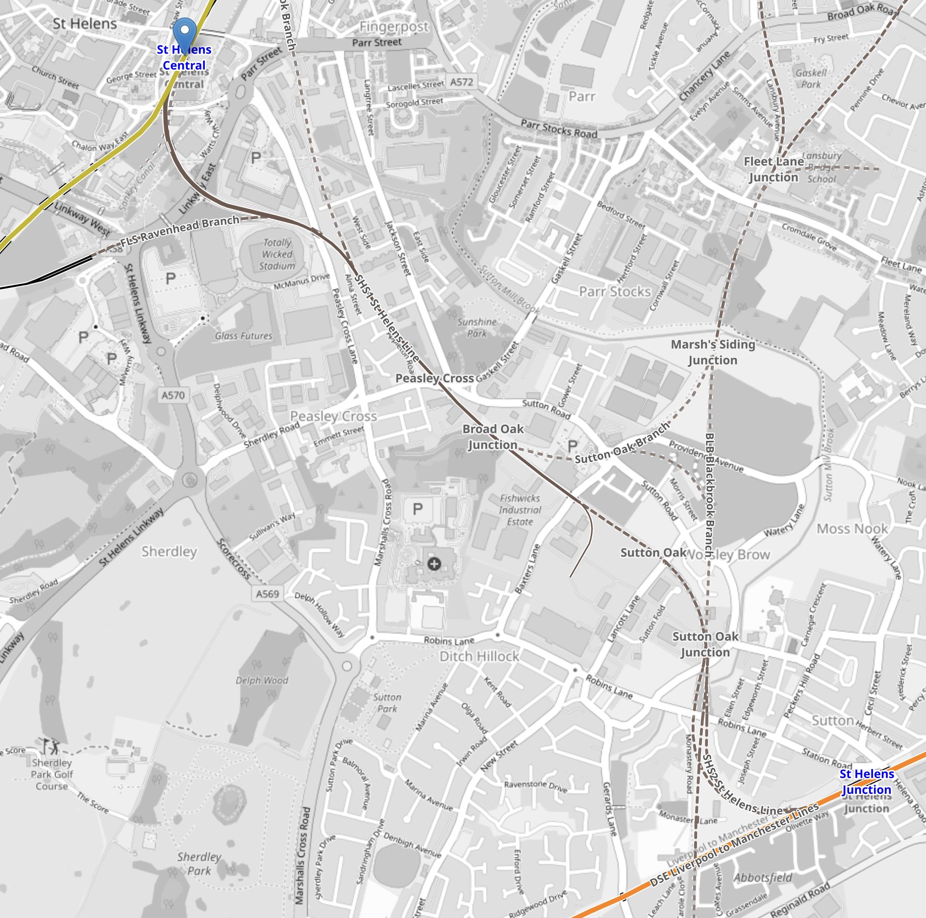
Note.
- The line runs between St. Helens Central and St. Helens Junction stations.
- St. Helens Central is in the North-West corner of the map and is marked by a blue arrow.
- St. Helens Junction station is in the South-East corner of the map.
- Both stations have two tracks and two platforms.
- St. Helens Central appears to have full disabled access,
- Both stations are electrified.
- It appears, that the route is still viable, but the track is not intact.
I have a few thoughts.
St. Helens Junction Station
This Google Map shows St. Helens Junction station.

Note.
- There are two platforms.
- Platform 1 is the Northern platform and trains go East.
- Platform 2 is the Southern platform and trains go to Liverpool Lime Street.
- There appears to be a footbridge at the Eastern end.
- Trains from the new route from St. Helens Central station would approach from and leave to the South-West.
- In a typical hour, between five and eight trains per hour (tph) go through the station in both directions on the main line.
I feel that a bay platform would need to be built at the station to handle the proposed service at St. Helens Junction station. But it would be able to handle four tph.
St. Helens Central Station
This Google Map shows St. Helens Central station.
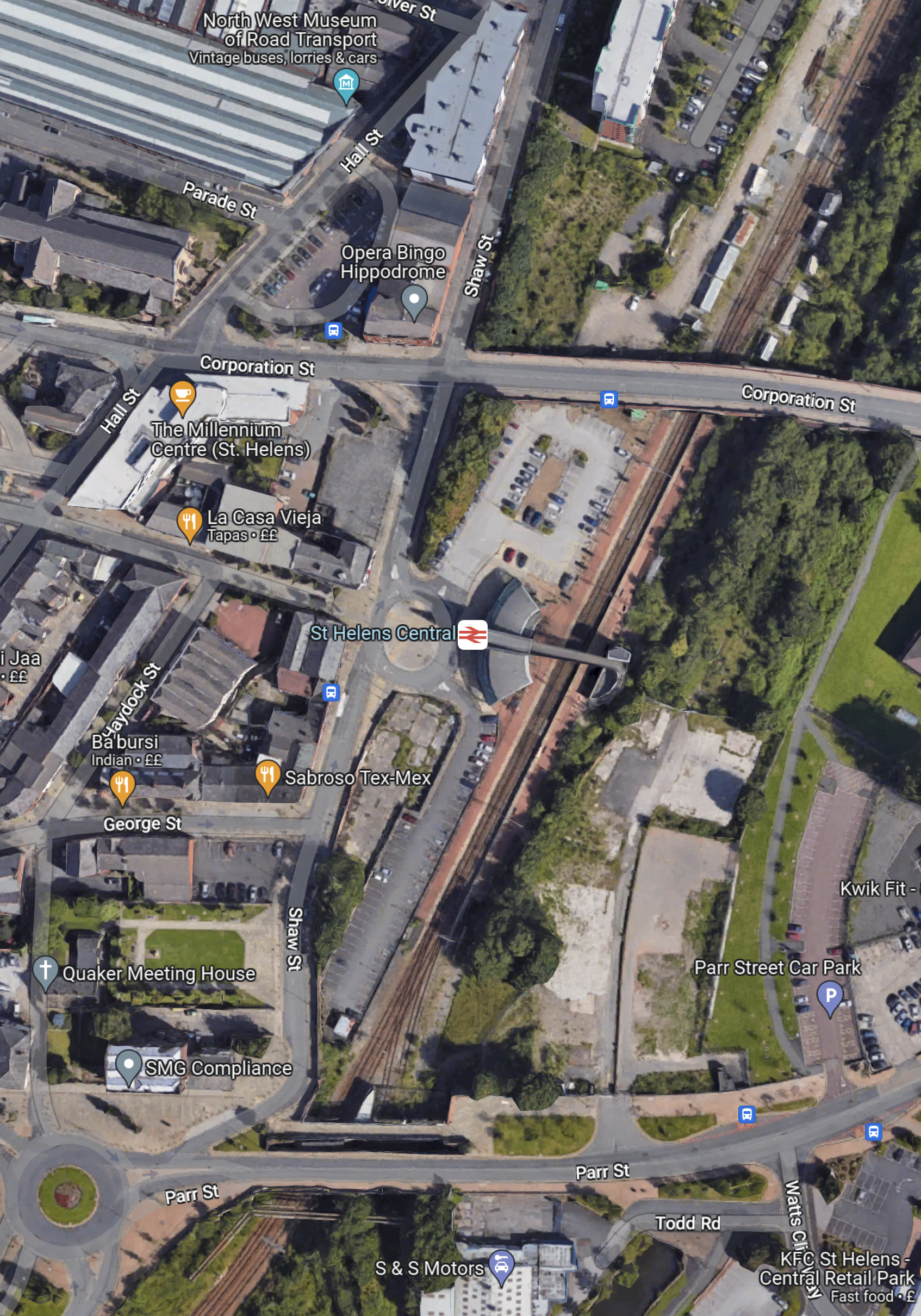
Note.
- There are two platforms.
- Platform 1 is the Western platform and trains go to Wigan North Western.
- Platform 2 is the Eastern platform and trains go to Liverpool Lime Street.
- There appears to be a footbridge in the middle, with lifts.
- Trains from the new route from St. Helens Junction station would approach from and leave to the South-West.
- In a typical hour, between two and three tph go through the station in both directions on the main line.
It may be possible to run two tph on the route to St. Helens Junction station, by using the Southern end of Platform 2.
It would probably be able to handle two tph, by fitting in between the current services.
If a new bay platform were to be built at St. Helens Central four tph would be possible.
What Would Be The Frequency Of The Service?
Consider.
- As I said earlier, because of the current frequency of trains through St. Helens Junction station, I feel a dedicated bay platform will be needed at that station, which would probably handle four tph.
- Without building a dedicated bay platform, I doubt that St. Helens Central station could have more than two tph.
- Two tph on the new route, would fit well with the services through St. Helens Central station.
I believe that providing it gave sufficient capacity for the route, that two tph will be the frequency, as it only needs one bay platform at St. Helens Junction station to be built.
What Length Of Train Will Be Used?
As a bay platform will have to be built at St. Helens Junction station, this will probably determine the length of train.
I would build the bay platform to accept a three or four car train, as lengthening platforms is always a pain.
Looking at the map of St. Helens Junction station, I suspect that a four-car platform may be the longest possible.
What Type Of Train Should Be Used?
If you look at all the Beeching Reversal schemes, there isn’t one like this, where two electrified lines are connected by a short length of new railway, which in this case is only 3.5 km, according to the New Civil Engineer article.
Consider.
- A round trip is only 7 kilometres.
- I suspect each trip between the two stations will take no more than ten minutes.
- If the frequency is two tph, there will be plenty of time to turn a train at each end.
- All new routes opened on UK railways from now on, should have carbon-free traction.
For these reasons, I suspect that the route could be run by a battery-electric train, which is charged at one end.
Putting up a short length of overhead electrification in the new bay platform at St. Helens Junction, as the station is already electrified, would not be the most challenging of tasks.
Alternatively, the train could be charged, whilst it is waiting to return in St. Helens Central, using the existing overhead electrification.
Will There Be Any Intermediate Stations Between St. Helens Central And St. Helens Junction?
On the first map the station sites of two former stations are shown; Peasley Cross and Sutton Oak.
According to the Wikipedia entry for Sutton Oak station, there was quite an intensive service a hundred years ago.
Why shouldn’t they be rebuilt? Especially, if there are plans for housing or regeneration in the area.
Will Between St. Helens Central And St. Helens Junction Be Single Track?
This would still enable two tph, if the trains did a quick turn-round in the bay platform at St. Helens Junction.
But it would mean.
- Lower cost infrastructure.
- Simple tram-style intermediate stations.
- One train on line operation for safety.
I feel that it is highly likely the new route will be single-track.
Carr Mill Station
This map shows Merseyrail’s future plans.

Note the proposed new station at Carr Mill, which is North-East of St. Helens Central on the Liverpool and Wigan Line.
The Wikipedia entry for Carr Mill station, says this about a proposed new station.
Proposals to construct a new station to serve the expanding population have been suggested by Merseytravel but funding has yet to arrive. A new proposal to open a station was raised by Metro Mayor of the Liverpool City Region Steve Rotheram as part of his re-election plans in January 2020.
It should be noted, that a new Carr Mill station could be on the East Lancashire Road, so it might be a good place to create a Park-and-Ride station for Liverpool and St. Helens.
Perhaps if a bay platform were to be incorporated into the new Carr Mill station, it might be better to run a service between Carr Mill and St. Helens Junction.
- There would be two tph.
- Intermediate stops would be St. Helens Central, Peasley Cross and Sutton Oak.
- I estimate the distance would be about four miles of which 1.8 miles would be electrified.
- The trains would be charged on the electrified line between Carr Mill and St. Helens Central stations.
There would be no need to electrify the bay platform at St. Helens Junction
Should The Service Go All The Way To Wigan?
It must surely be a possibility to run the service between Wigan North Western and St. Helens Junction.
- There would be two tph.
- Intermediate stops would be Carr Mill, Bryn, Garswood, St. Helens Central, Peasley Cross and Sutton Oak.
- I estimate the distance would be about eleven miles of which nine miles would be electrified.
- The trains would be charged on the electrified line between Wigan North Western and St. Helens Central stations.
This would create an excellent connection to Wigan North Western for all the long distance trains to Scotland and the South.
Should The New Route Be Electrified?
Consider.
- St. Helens and Wigan North Western is a fully-electrified route.
- It is only 2.2 miles, which would probably be single track railway.
- As there is electrification at both ends of the new route, there would be no problem arranging power.
- It would remove the need for battery-electric trains.
I suspect that this is one that accountants will decide, as both battery-electric and electrification will work equally well!
What Trains Would Be Used?
If the route is electrified, any electric train of a suitable length could be used. I would argue, that the same class of train, as is used through the two St. Helens stations, should be used for operational and passenger convenience.
To maintain the operational and passenger convenience, if battery-electric trains are used, then Northern’s Class 331 trains and Merseyrail’s Class 777 trains come or will come in both electric and battery-electric versions.
Conclusion
This looks like a very sensible scheme.
Extending The Elizabeth Line – Connection To Southeastern High Speed One Services
The Two Stratford Stations
In this post, Stratford station is the station handling Greater Anglia and London Overground, Underground and Docklands Light Railway services, with Stratford International station handles High Speed services.
The Elizabeth Line And The Great Western Railway Services
One of the most important stations on the Elizabeth Line is Paddington, where it connects to the London terminus of the Great Western Railway.
I would expect that quite a few passengers going to the West and Wales on the Great Western Railway, will be transported to Paddington by the Elizabeth Line.
The Elizabeth Line And Greater Anglia Services
Another of the important stations on the Elizabeth Line is Liverpool Street, where the station is the London terminus of the Greater Anglia.
I would expect that quite a few passengers going to East Anglia on the Greater Anglia, will be transported to Liverpool Street by the Elizabeth Line.
Southeastern High Speed One Services
Southeastern runs some High Speed services on High Speed One to provide Kent with an improved service to London.
Current services are
- London St Pancras International to Ramsgate via Faversham.
- London St Pancras International to Ramsgate via Dover Priory.
- London St Pancras International to Margate via Canterbury West.
Note
- All trains are one train per hour (tph).
- All trains stop at Stratford International and Ebbsfleet International.
- All trains are run by 140 mph Class 395 trains.
There has also been talk of running a fourth service to Hastings and Eastbourne via Stratford International, Ebbsfleet International and Ashford International.
St. Pancras Station
All of these trains terminate in three platforms; 11 to 13 at St. Pancras International station.
St. Pancras is not the ideal terminal for the Southeastern High Speed services.
- St. Pancras is not on the Elizabeth Line.
- St.Pancras doesn’t have good connections to Heathrow.
- All connections to the Underground are a long walk.
- Eurostar services are a longer walk.
- East Midland services are also a longer route, with stairs and escalators for good measure.
St. Pancras station was designed by a committee, as a museum to Victorian architecture, rather than as a working station.
Ebbsfleet International Station Must Be The Largest Parkway Station In The UK
It holds nearly five thousand cars and it is served by Southeastern High Speed Services.
Thanet Parkway Station Will Open This Year
Thanet Parkway station is under construction.
- It will have nearly three hundred parking spaces.
- It will be served by Southeastern High Speed Services.
- It should open in May 2023.
This station will need a good connection to London.
Could An Interchange Between The Elizabeth Line And Southeastern High Speed Services Be Provided At Stratford?
Such an alternative interchange would be popular with passengers.
- The Elizabeth Line from Stratford currently serves the West End, the Northern section of the City of London, East London, Liverpool Street, Paddington and the West End directly.
- The Elizabeth Line from Stratford currently serves Canary Wharf, Cannon Street, Charing Cross, Euston, Heathrow, King’s Cross. Reading, St. Pancras and Victoria with a change at Whitechapel.
- The Central Line, which shares platforms with the Elizabeth Line serves Bank and the West End directly.
- The Overground is easily accessed for travel across North London to Richmond.
- The Jubilee Line is easily accessed for travel to London Bridge, Waterloo and Westminster.
It would be connected to two large parkway stations and lots of parking all over Kent.
I believe that Stratford must be promoted as an alternative terminus for Southeastern High Speed Services.
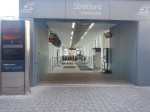
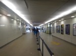
Today, I walked both ways between two Stratford stations.
These pictures show the route I took between Stratford and Stratford International stations, through the Eastfield Shopping Centre.
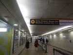
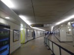

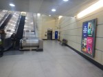

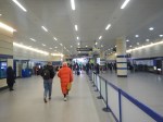


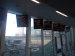

Note.
- I went through the Shopping Centre.
- I passed Marks & Spencer’s large food hall, excellent toilets and a Food Court.
- By the Food Court is an exit that leads to an entrance to Stratford International station.
- The walk took about 10 minutes.
- It was vaguely level.
- Lifts by-passed the escalators.
- One thing that makes the journey to London easier, is to travel in the Eastern end of the train, as the lifts and escalators at Stratford International station, are at that end.
It does need some better signage, but they were doing a bit of refurbishment, so that may already be underway.
It could be a very high quality interchange and it is already better than St. Pancras.
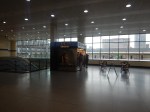
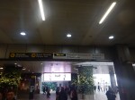
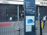
Coming back I took the longer route outside the Shopping Centre.


Note.
- I just turned left out of the entrance, walked along the road and turned right past the bus station.
- If the weather had been colder or wetter, I’d have gone back via the Shopping Centre.
- The walk took about 12 minutes.
I think normally, I’d go back through the Shopping Centre, as there’s a Marks and Spencer Food Hall on the route and it’s slightly quicker and often warmer.
Could Stratford Station Be A London Superhub Station?
When you consider the stations connected to Stratford in London, East Anglia and Kent, it has an excellent collection.
- Airports – Gatwick, Heathrow, Luton, Southend and Stansted
- Cities – Cambridge, Canterbury, Chelmsford, Colchester, Ipswich, Norwich and Southend-on-Sea
- London Main and Terminal Stations – Cannon Street, Charing Cross, Clapham Junction, Euston, Farringdon, King’s Cross, London Bridge, Liverpool Street, Marylebone, Moorgate, Paddington, Victoria and Waterloo
- Major Areas – Canary Wharf, City of London, Hampstead, Olympic Park and West End
- Ports – Dover, Felixstowe, Folkestone and Harwich
You can even get a train to Slough, with a change at Whitechapel.
I would think it already is a London Superhub Station.
