East Coast Main Line South Bi-Directional Capability
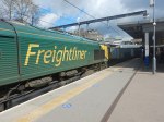
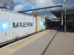
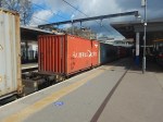
London has a rail capacity problem, for both freight and passenger trains.
This report from Network Rail is entitled The London Rail Freight Strategy (LRFS).
One of the secondary recommendations of the report is to use the bi-directional capability of the East Coast Main Line to create another freight route through London.
The report explains it like this.
The southern end of the East Coast Main Line, from Kings Cross to Stoke Tunnel (about five miles south of Grantham), is due to be the first part of a national main line to be fully converted to European Train Control System (ETCS) digital signalling.ETCS, because it does not rely on fixed lineside equipment facing one way or another, is bi-directional by nature.
This presents an opportunity for freight to make use of a new routeing at the southern end of the East Coast Main Line, which current signalling and track layout do not permit.
This strategy therefore proposes installing new track layout features that would facilitate this routeing for freight trains, enabling them to take advantage of the bi-directional capability brought about through ETCS deployment.
The main expected change would be the creation of a facing crossover at Bowes Park, to enable southbound freight trains to run onto the Down Enfield Viaduct in the up direction, before continuing onwards to the terminal at Ferme Park or accessing the Gospel Oak-Barking Line at Harringay.
This example shows an advantage of digital in-cab signalling.
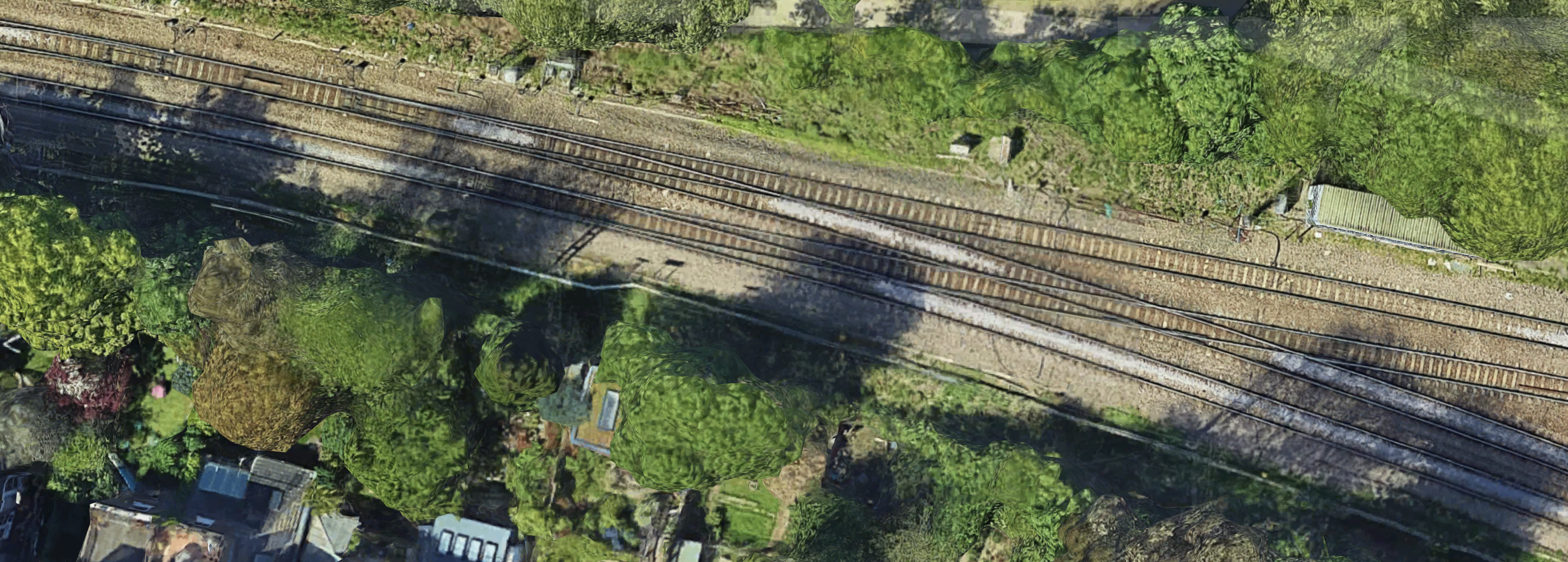
This map from cartometro, shows the lines between Bowes Park and Alexandra Palace stations.
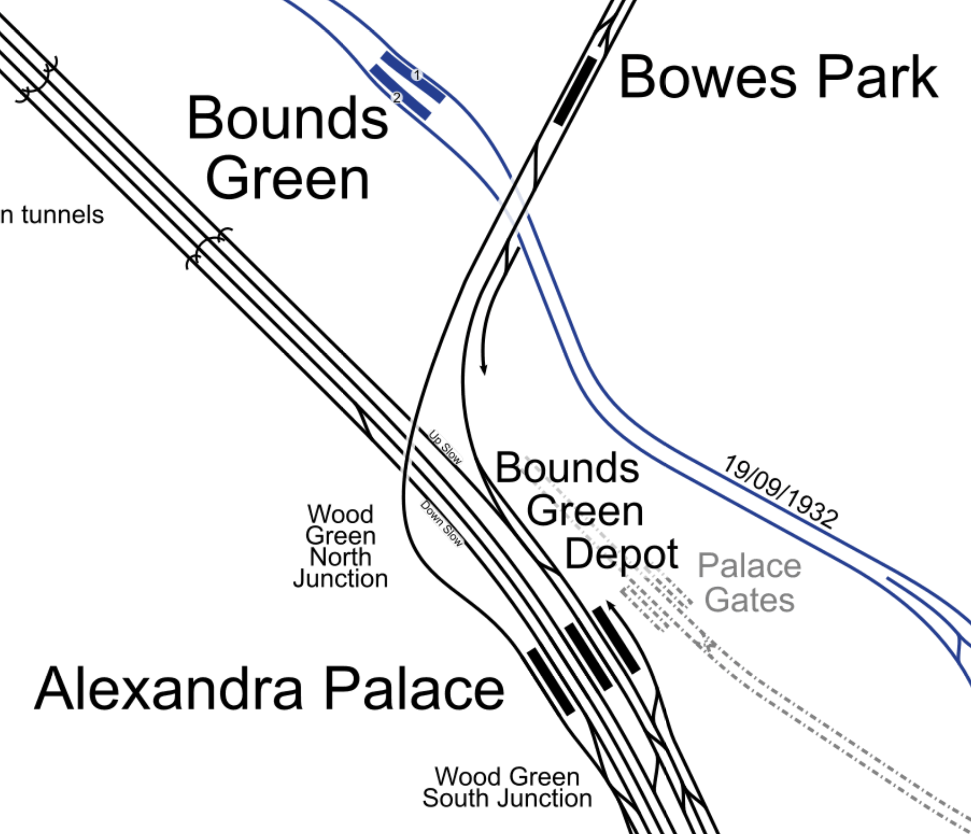
Freight trains coming from the North regularly take the Hertford Loop Line and arrive in North London at Bowes Park
Currently, they sneak down the Eastern side of the East Coast Main Line and then take a route across London, which probably uses the North London Line.
What is proposed is that with an extra crossover just South of Bowes Park station, freight trains will crossover and take Enfield Viaduct the wrong way to the Western side Alexandra Palace station.
The Enfield Viaduct is the track taken from Alexandra Palace station to Bowes Park station, by trains going to Enfield. It takes a bit of a loop to the West.
This second map from cartometro, shows the lines South of Alexandra Palace stations.
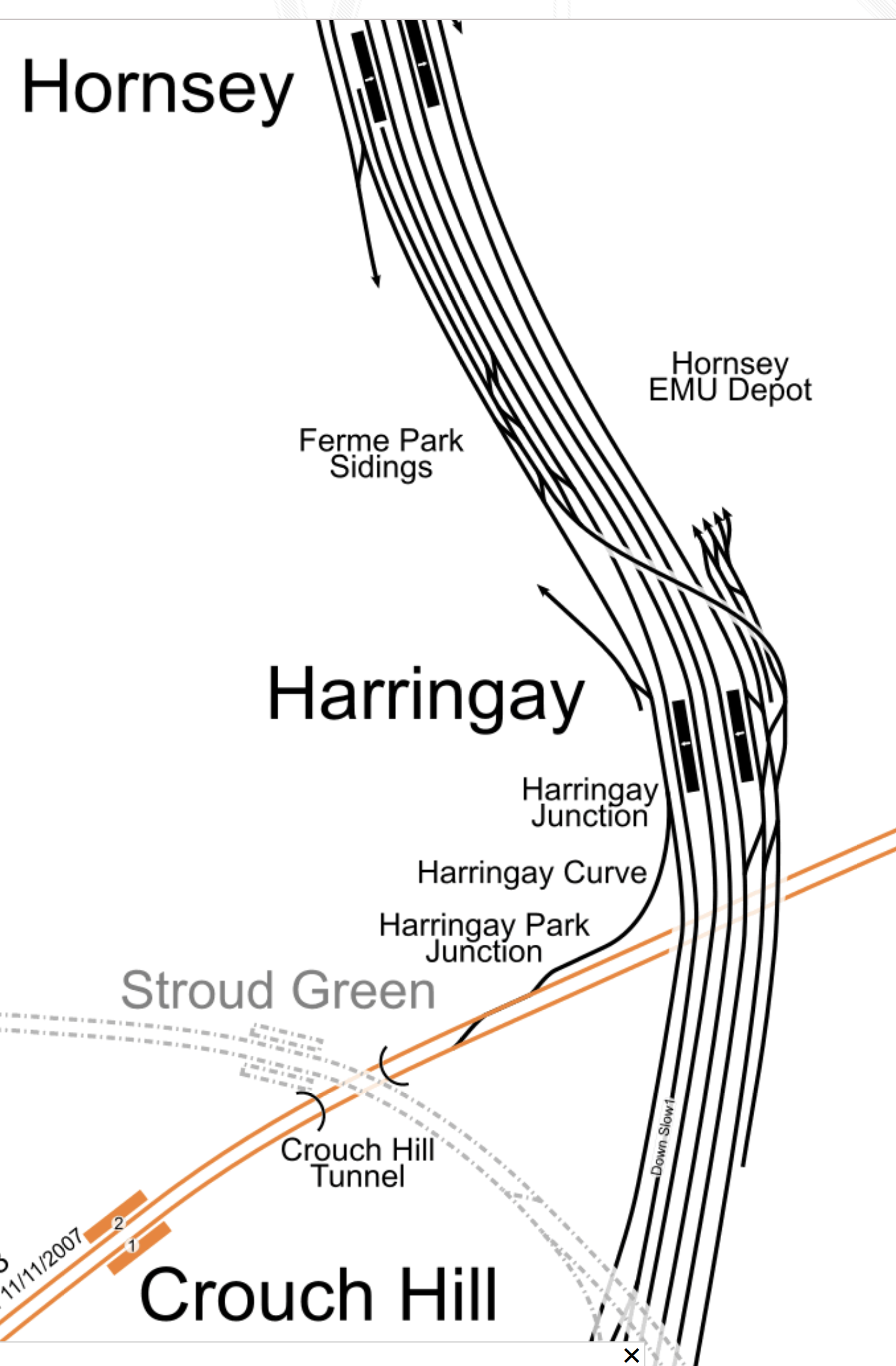
Note.
- Hornsey is the next station to the South of Alexandra Palace.
- The Eastern side of the East Coast Main Line is crowded with maintenance depots for trains.
- The orange line is the Gospel Oak to Barking Line.
By the use of digital signalling a new freight route through North London can been created.
Conclusion
How many other places can this technique be used?
Related Posts
These are related posts about the London Rail Freight Strategy (LRFS).
Decarbonisation Of London’s Freight Routes
Gauge Improvements Across London
Headway Reductions On The Gospel Oak To Barking, North London and West London Lines
Heavy Axle Weight Restrictions
Kensal Green Junction Improvement
Longhedge Junction Speed Increases
Moving The West London Line AC/DC Switchover To Kensington Olympia
Moving The West London Line AC/DC Switchover To Shepherd’s Bush
Stratford Regulating Point Extension
Gospel Oak Speed Increases
London has a rail capacity problem, for both freight and passenger trains.
This report from Network Rail is entitled The London Rail Freight Strategy (LRFS).
One of the secondary recommendations of the report is to increase speed through Gospel Oak.
The report explains it like this.
This proposal would see the current 20mph line speeds through Gospel Oak increased, through an upgrade to the junction immediately to the west of the station. Improving the flow of traffic through this critical flat junction, where the North London Line and Gospel Oak-Barking Line meet, would be of benefit for the wider operations and performance of these orbital routes. Freight trains in particular, which run non-stop through Gospel Oak, using all available routes, would see a notable uplift to how quickly they are able to pass through the area.
This would not only contribute to achieving the fast end-to-end cross-London paths that are a priority for freight but would also reduce the time trains would occupy the junction, increasing performance resilience at Gospel Oak, the impact of which would drive improvement right across the North London Line and Gospel Oak and Barking Line.
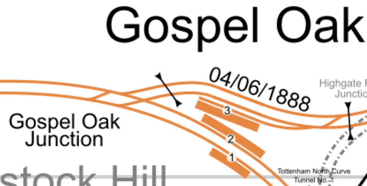
This map from cartometro shows the track layout at Gospel Oak.
Note.
- The double-track North London Line passing through Platforms 1 and 2 at Gospel Oak station.
- The double-track Gospel Oak and Barking Line passing to the North of the station.
- Platform 3 is a West-facing bay platform for services to Barking.
- There is no Westbound connection to Platform 3.
- All tracks in the map are hace 25 KVAC overhead electrification.
The two double-track railways merge west of the station at Gospel Oak junction.
This Google map shows the same area.
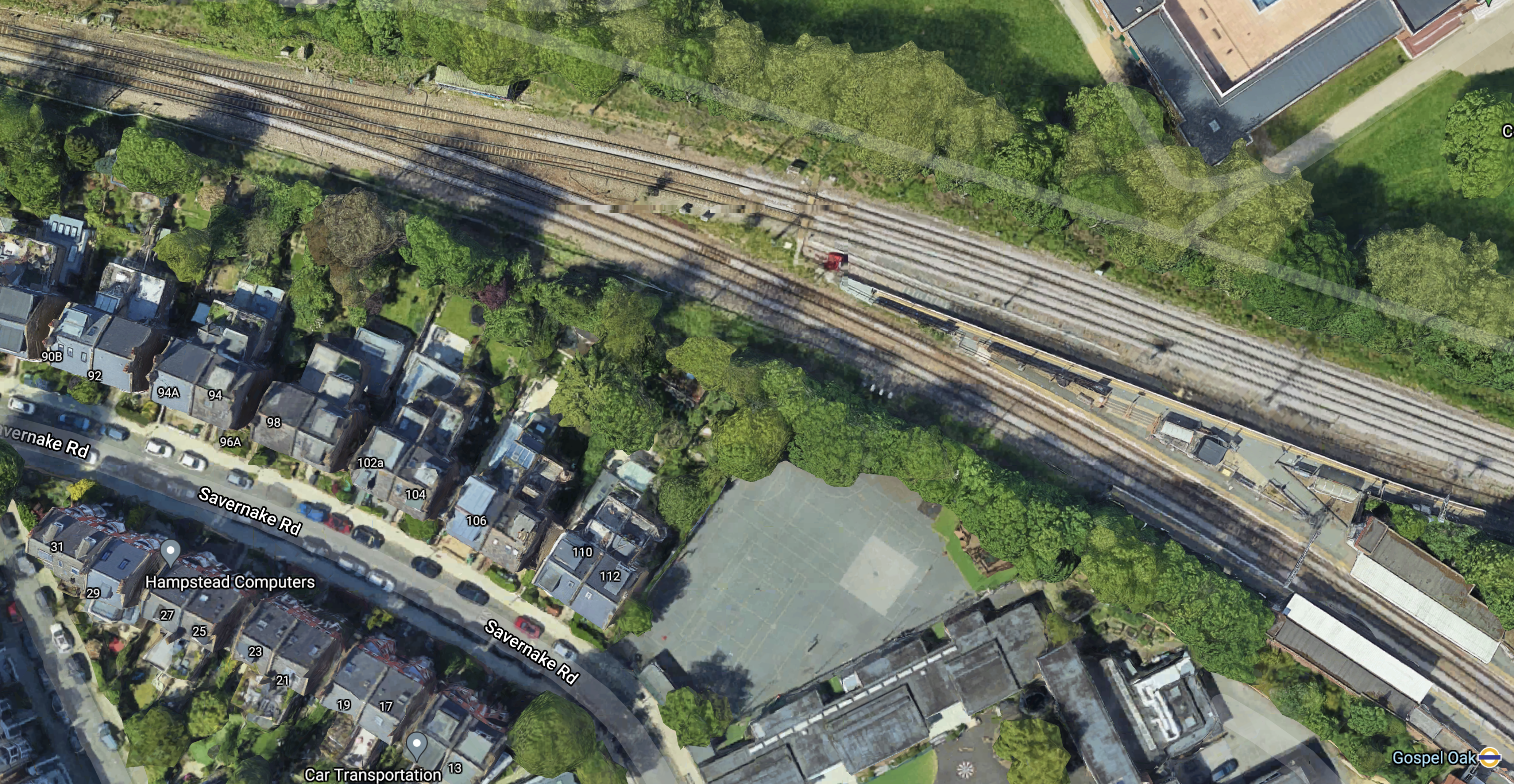
Note.
- Gospel Oak junction is in the North-West corner of the map.
- Platform 1 and 2 of Gospel Oak station are in the South-East corner of the map.
This Google map shows the junction to a larger scale.
There would appear to be space to the North of the junction for expansion.
It might even be possible to squeeze in another line, so that trains can go straight through at a faster speed.
Conclusion
This looks like another junction, that could be easy to improve on an engineering basis.
But whether the locals will accept it quietly could be another matter.
Related Posts
These are related posts about the London Rail Freight Strategy (LRFS).
Decarbonisation Of London’s Freight Routes
East Coast Main Line South Bi-Directional Capability
Gauge Improvements Across London
Headway Reductions On The Gospel Oak To Barking, North London and West London Lines
Heavy Axle Weight Restrictions
Kensal Green Junction Improvement
Longhedge Junction Speed Increases
Moving The West London Line AC/DC Switchover To Kensington Olympia
Moving The West London Line AC/DC Switchover To Shepherd’s Bush
Stratford Regulating Point Extension
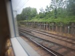
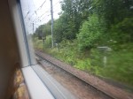
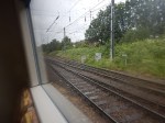
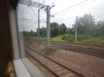
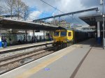
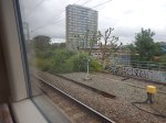
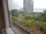
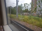
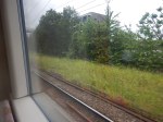
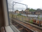
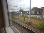
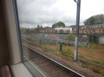
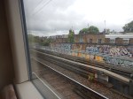
A London Overground Class 378 Train In Platform 11 At Stratford Station
Trains on the North London Line to Stratford station normally terminate in Platform 1 or 2.
The train I got today terminated in Platform 11.

This platform is usually used for services up the Lea Valley.
Kensal Green Junction Improvement
London has a rail capacity problem, for both freight and passenger trains.
This report from Network Rail is entitled The London Rail Freight Strategy (LRFS).
One of the recommendations of the report is to improve Kensal Green junction. It says this about the improvements.
Upgrade of the junction, moving it slightly to the east and realigning the layout, to facilitate faster crossing speeds sufficient for a 3-minute planning margin.
This map from cartometro.com shows the track layout between Harlesden in the West to Kensal Rise station in the East.
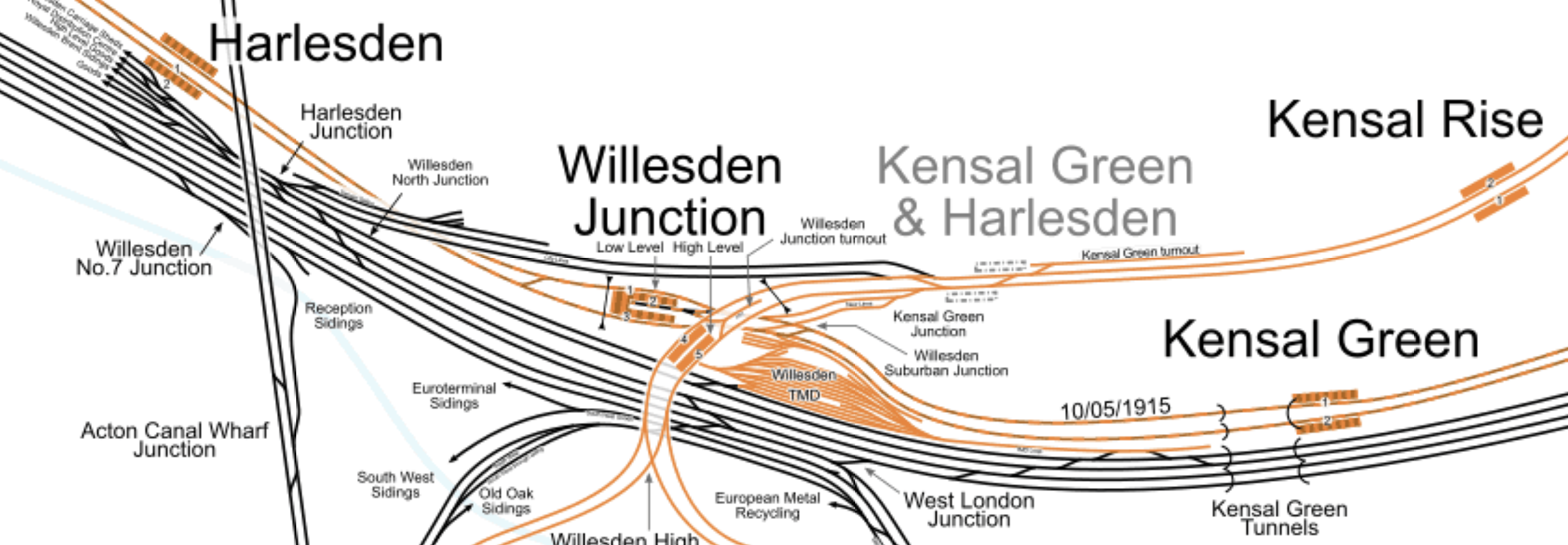
Note.
- Harlesden, Willesden Junction Low Level and Kensal Green stations are on the shared tracks of the Bakerloo and Watford DC Lines.
- Willesden Junction High Level and Kensal Rise are stations on the North London Line.
- Kensal Green & Harlesden is a former station on the North London Line, which is shown on the map as dotted platforms.
- Kensal Green Junction is to the West of Willesden Junction High Level station.
- The City Lines, which are shown in black connect the North London Line to the West coast Main Line and the important freight yards at Wembley.
- The black tracks at the bottom of the map are the West Coast Main Line.
This Google Map shows Kensal Green Junction.
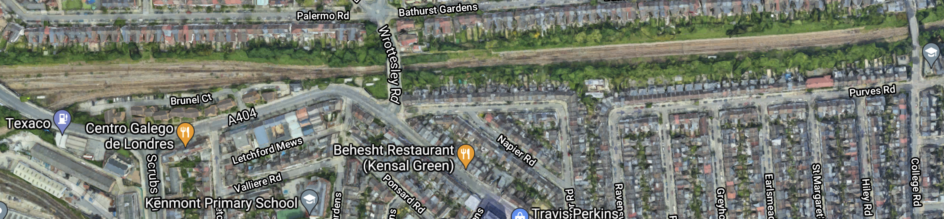
Note.
- The railway is the sandy scar across the top of the map.
- The Kensal Green Turnout is in the North-East section of the map.
- The Kensal Green Junction and the City Lines are in the North-West corner of the map.
- The road over the railway in the middle of the map is Wrottesley Road.
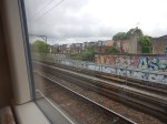
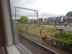
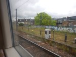
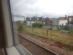
These pictures show the Kensal Green Turnout.
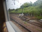


And these show Kensal Green Junction and the City Lines.


Note.
- The railway has generous margins.
- The City Lines are electrified.
- The North London Line is electrified.
- The Kensal Green junction appears to be fully electrified.
- All electrification is 25 KVAC overhead.
There would be plenty of space to install a modern efficient junction.
This is said in the Network Rail document about the improvement to Kensal Green Junction.
Kensal Green Junction, just to the northeast of Willesden Junction High Level station on the North London Line, is a key location for the functioning of the orbital routes.
It connects the North London Line to the West Coast Main Line and Wembley Yard, a vital link for cross-London intermodal flows.
Westbound freight trains must cross over the flat junction to access the City lines towards the West Coast Main Line, a conflicting move with any eastbound London Overground or freight services from Willesden Junction High Level. Ensuring these moves can take place as quickly and as smoothly as possible is essential to the efficient use of capacity on the North London Line.
The proposed enhancement would upgrade the junction, moving it slightly to the east and realigning the layout, to facilitate faster crossing speeds.
Currently trains from the City lines (in the eastbound direction) are limited to 10 mph over Kensal Green Junction, while trains towards the City lines (in the westbound direction) are limited to 15 mph.
This scheme would increase speeds through the junction so that trains can safely cross it a
minimum of 3 minutes after a conflicting movement – they currently have to wait at least 4 minutes.Although this is a relatively minor scheme, it could have a significant positive impact on both capacity and performance in the area.
I find the last paragraph very important. So does this improvement scheme offer good value to money?
Could The Junction Be Used By Passenger Trains?
Consider.
- Nothing is mentioned about passenger trains.
- Electric passenger trains are nippier because of better acceleration.
- No scheduled services appear to use the City Lines
- But I did find an empty stock movement from Wembley Sidings to Gospel Oak.
If the junction could be improved would there be any reason to run passenger trains through the junction?
Suppose, High Speed Two, during the rebuilding of Euston station, decided to stop the Watford DC Line services from using Euston station.
If the Class 710 trains of the London Overground could terminate at say Camden Road station, this would give passengers on the Northern part of the Watford DC Line another route to Central London by changing at West Hampstead station for Thameslink or the Jubilee Line or Camden Road station for the Northern Line by walking between the two Camden stations.
I would expect there may need to be some extra crossovers, so that trains from the Watford DC Lines could access the City Lines to get to and from Kensal Green junction.
In Will Camden Road Station Get a Third Platform?, I outlined how Camden Road station could get a third platform, as is also proposed in the LRFS.
But suppose though the existing Platform 2 at Camden Road station were to be diverted into two platforms.
- A Platform 2 East handling services to and from the East.
- A Platform 2 West handling services to and from the West.
That would do nicely.
Conclusion
Improving Kensal Green Junction may improve passenger services, especially if High Speed Two work at Euston means the Watford DC services have to be suspended.
Related Posts
These are related posts about the London Rail Freight Strategy (LRFS).
Decarbonisation Of London’s Freight Routes
East Coast Main Line South Bi-Directional Capability
Gauge Improvements Across London
Headway Reductions On The Gospel Oak To Barking, North London and West London Lines
Heavy Axle Weight Restrictions
Longhedge Junction Speed Increases
Moving The West London Line AC/DC Switchover To Kensington Olympia
Moving The West London Line AC/DC Switchover To Shepherd’s Bush
Stratford Regulating Point Extension
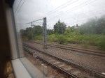
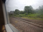
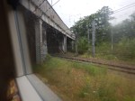
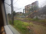
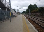
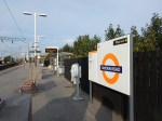
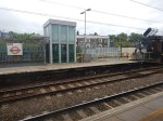
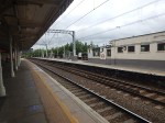
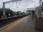
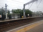
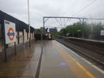
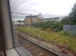
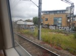
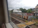
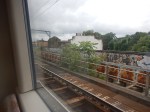
Is Caledonian Road And Barnsbury An Ideal Four-Track Station?
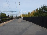
This Google Map shows Caledonian Road And Barnsbury station.
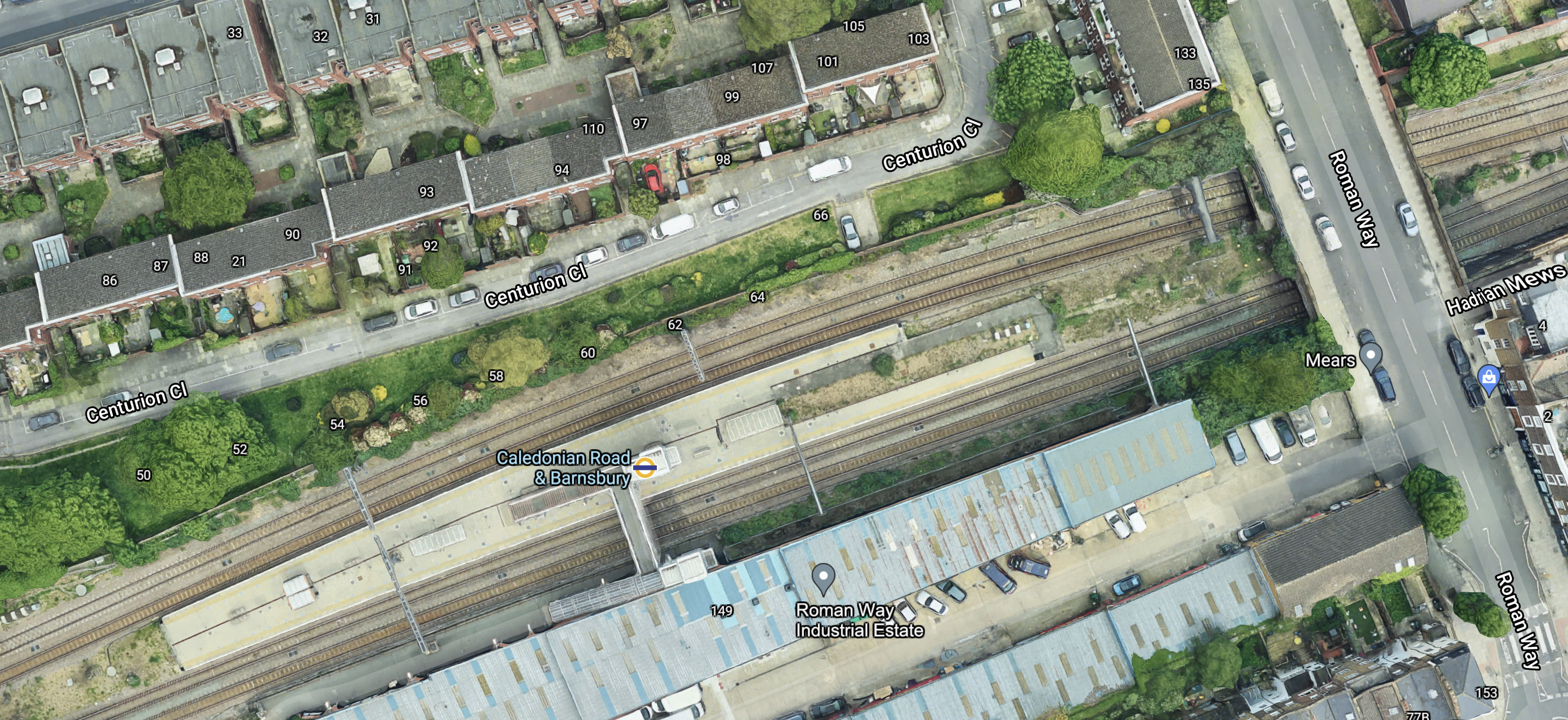
Note the island platform, with two tracks on either side.
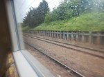
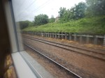
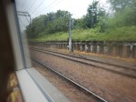
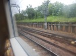
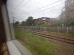
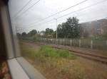
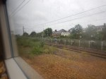
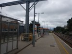
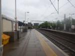
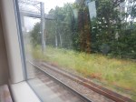
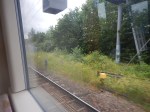
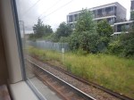
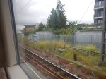
These four pictures show each pair of tracks in both directions.


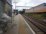
And these pictures show general views of the station.


I don’t know the layout of every station, but Caledonian Road And Barnsbury seems to be unusual.
- There is a spacious island platform in the middle of the four tracks.
- On either side of the island platform, there are the two lines for local passenger trains.
- Outside of the two local passenger lines, there are two lines for freight trains.
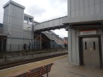
- Access to the island platform is via a simple half-bridge with only two lifts.
- Everybody enters the station from one side.
Does this layout have advantages?
Ease Of Construction
I think that this station was designed, so that it was quick and easy to build.
Once the tracks are aligned correctly, it shouldn’t be too complicated to build.
The bridge only has to span two tracks, so that must be half the work of crossing four tracks.
Passenger Safety
I have used real time trains to check the platform of freight trains passing through Caledonian Road And Barnsbury station.
It seems that only rarely do trains use the tracks in the two platforms.
This must surely be safer, when compared with the standard arrangement.
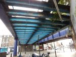
These pictures were taken at Highbury & Islington station.
The wide platform, also allows passengers to keep well out of the way of any trains that do pass through.
Would The Layout Work With High Speed Trains?
I don’t see why not!
The space between the outside lines and the platform, almost acts like a moat in a zoo, that keeps visitors away from dangerous animals.
Costs
It was probably not an expensive station to build.
Conclusion
Why are other four-track stations not built like this?
The main reason is probably, that most four-track main lines were laid out decades or even centuries ago and their builders used their own layouts.
Will Camden Road Station Get A Third Platform?
London has a rail capacity problem, for both freight and passenger trains.
This report from Network Rail is entitled The London Rail Freight Strategy (LRFS).
One of the recommendations of the report is to build a third platform at Camden Road station. It says this about the third platform.
Reinstatement of a third track and platform on the northern side of Camden Road station, utilising part of
the former 4-track formation through the station.
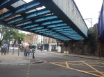
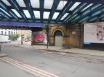
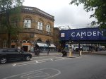
Camden Road station used to have four platforms, but now it just have two.
This Google Map shows the station as it is today.
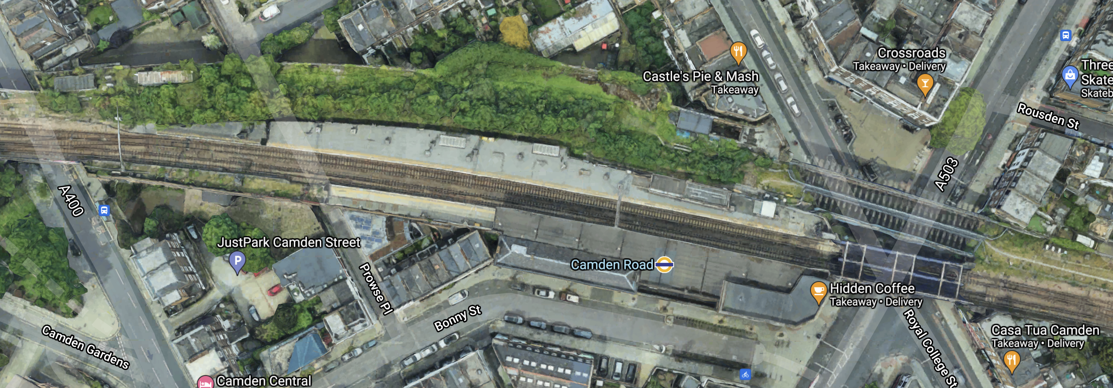
Note.
- Platform 1 is on the South side of the tracks with the London Overground roundel conveniently shown on the roof.
- Platform 2 is on the North side of the tracks.
- Regular users of the station can probably pick out the lift at the Eastern end of Platform 2.
- There is a bridge to the East of the station which takes the tracks over the junction of Royal College Street and Camden Road.
To the North of this bridge, two further bridges can be seen, that used to take the former third and fourth tracks over the roads and into two additional platforms to the North of the current two.
This map from cartometro.com shows the track layout through Camden Road station.
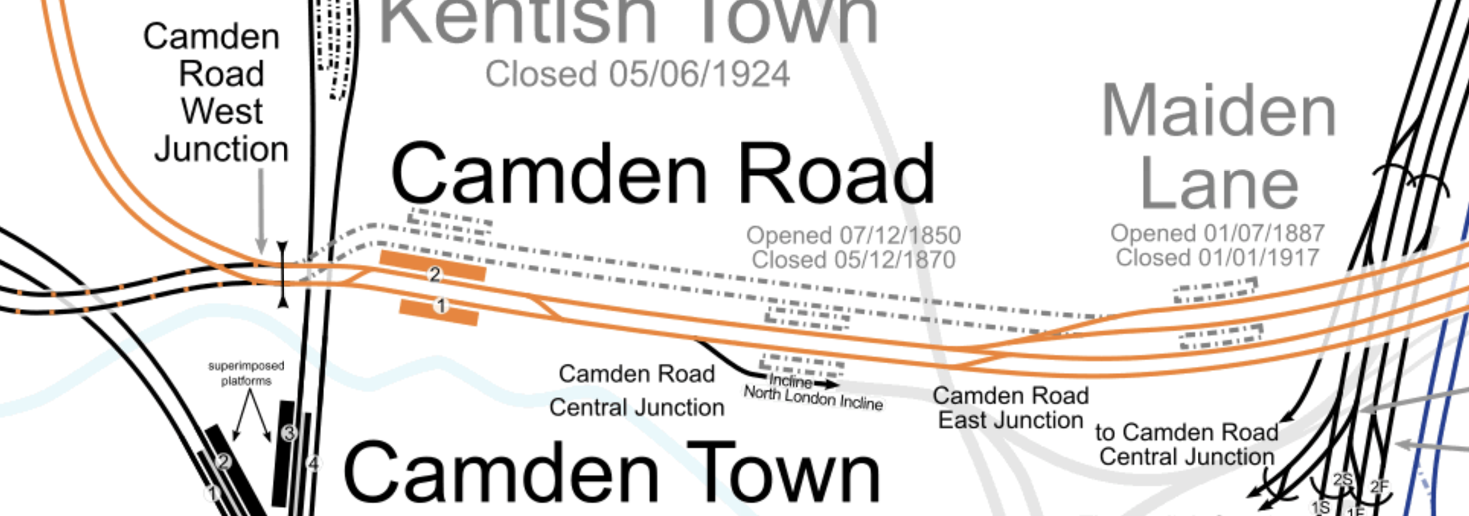
Note.
- The tracks shown in orange are the route of the North London Line of the London Overground.
- The two orange platforms labelled 1 and 2 at Camden Road station.
- The two former lines passing behind Platform 2, used to rejoin the North London Line to the West of the station.
These pictures were taken on the current Platform 2.
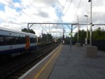
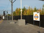
And these are some pictures of the bridge, what is behind the fence and other bridges.

Note.
- Most of the pictures of Platform 2, were taken from Platform 1.
- Behind the fence on Platform 2, there appears to be a substantial urban forest.
- Renewing the bridges and updating the railway arches could improve the area significantly.
- Camden Road station is a Grade II Listed building.
I don’t think, that any of the construction would be too challenging.
How Would The Third Platform Be Used?
This is said in the Network Rail document about the third platform at Camden Road station.
This proposal would reinstate a third track and platform on the northern side of Camden Road station, utilising part of the former 4-track formation through the station.
The additional capacity provided would facilitate much greater flexibility in pathing options for trains on this busy central section of the NLL, opening up new options for future service provision and bolstering performance resilience.
Reinstatement of a third platform would enable platform 2 to be used as a central turnback, with platform 3 becoming the eastbound line for through London Overground services and the majority of freight.
Transport for London modelling suggests that the eastern end of the NLL, from Canonbury to Stratford, will see some of the strongest long-term demand growth on the Overground network.
A turnback platform will allow this to be addressed with peak capacity boosting services between Stratford and Camden Road and there would also be the option to operate these through the off-peak, which could offer a means of providing additional passenger capacity where it is most needed.
The availability of an additional platform would also aid performance recovery during perturbation on
the orbital routes.
That all looks fairly sensible and wouldn’t require much work to the current station.
Note.
- Platform 2 is currently a fully-accessible platform with a lift and will become a spacious fully-accessible island platform with two faces 2 and 3, both serving London Overground services going East.
- There must surely be space on the island platform to build a substantial shelter, where passengers can sit, when long freight trains are passing through.
- There could even be space for a coffee kiosk.
The former Platform 3 appeared to be a Westbound platform, but the proposed new one appears to be an Eastbound one.
The Track Layout Immediately To The East Of Camden Road Station
These are my thoughts on the track layout to the East of Camden Road station.
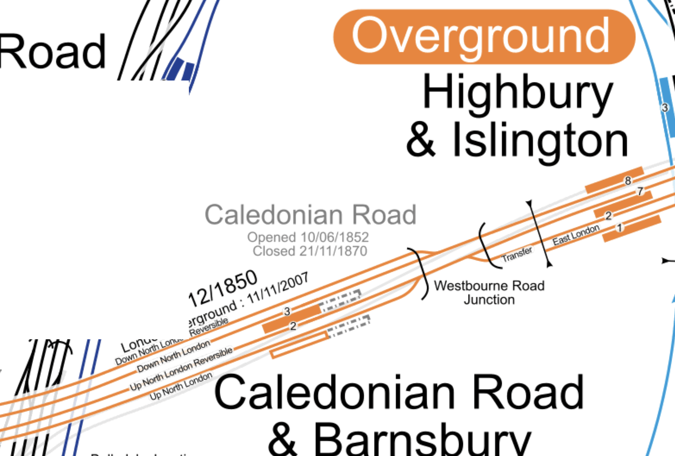
This map from cartometro.com shows the track layout between Camden Road and Highbury & Islington stations.
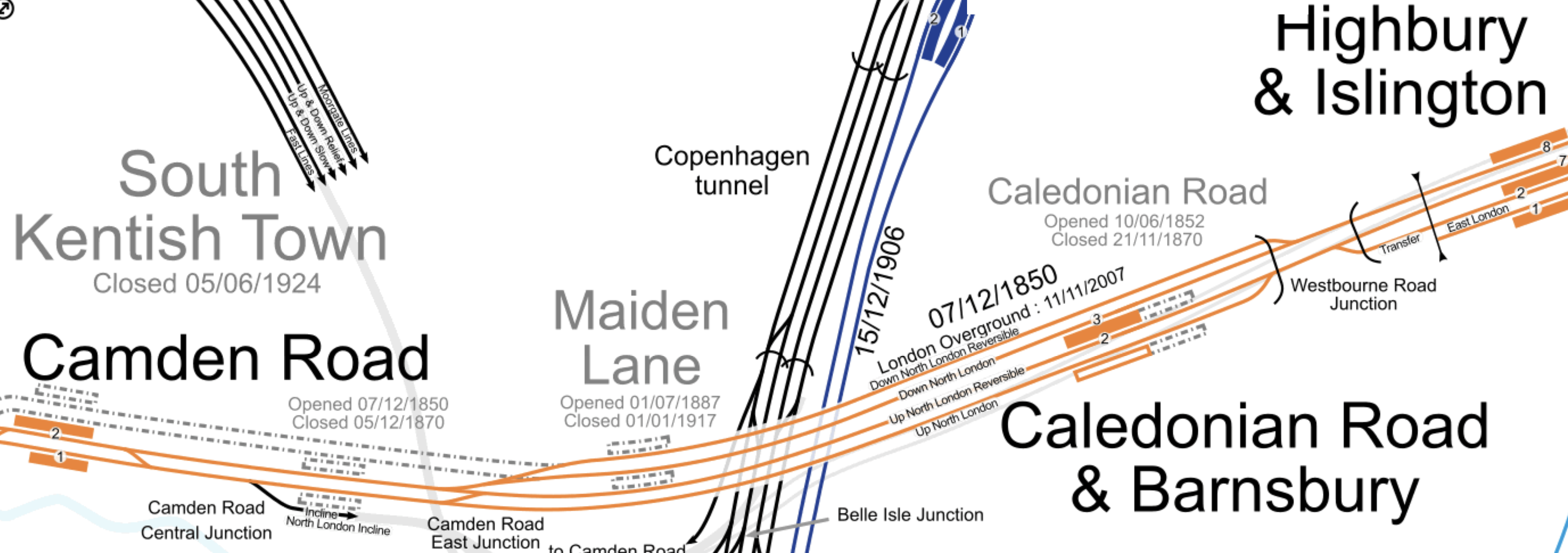
Much of the route through Caledonian Road and Barnsbury station is four tracks. These tracks are named from North to South as follows.
- Down North London Reversible
- Down North London
- Up North London Reversible
- Up North London
Note.
- Eastbound London Overground services use the Down North London track.
- Eastbound freight services use the Down North London Reversible track.
- Eastbound freight services are sometimes held by signallers on the Down North London Reversible track.
- Westbound London Overground services use the Up North London Reversible track, before crossing over to the Up North London track at Camden Road East Junction.
- London Overground services only use the central island platform at Caledonian Road and Barnsbury station.
- Westbound freight services use both of the Up North London tracks.
- The London Borough of Camden have stated that they would like to see the reopening of Maiden Lane station.
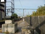
These pictures show the former trackbed between the former Maiden Lane station and Camden Road station.
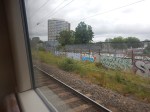
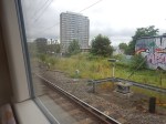
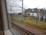
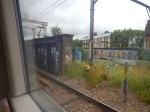
Looking at these pictures, I can deduce the following.
- There is very little constructuction of the former trackbed.
- There would be some signalling equipment to move.
- Some of the steel bridges would have to be replaced.
I feel, that a single track could definitely be created between the new Platform 3 at Camden Road station to connect with both Down North London tracks before the site of the former Maiden Line station.
It may even be possible to squeeze in two tracks.
A new track or tracks would enable the following.
- Eastbound London Overground services to go from Platform 3 at Camden Road station to Platform 3 at Caledonian Road and Barnsbury station.
- Eastbound freight services to go from Platform 3 at Camden Road station to either the Down North London Reversible or the Down North London tracks through Caledonian Road and Barnsbury station.
Note.
- Westbound services going through Camden Road station would be unaffected.
- Westbound London Overground services terminating in Platform 2 at Camden Road station would cross over to the current Up North London Reversible at the current Camden Road Central junction.
- Eastbound London Overground services starting in Platform 2 at Camden Road station would cross over to the new track or tracks to proceed to the East.
These are my answers to a few questions.
Will There Be One Or Two Extra Tracks?
Consider.
- It could probably be organised that the extra track or tracks start perhaps fifty metres or so to the East of Camden Road station.
- The distance between this point and Westbourne Road Junction is around a mile.
- Network Rail allows freight trains up to a length of 775 metres.
I am drawn to the conclusion, that if two tracks were to be built, then signallers would be able to hold the longest freight trains on the extended Down North London Reversible track, without interrupting London Overground passenger services.
How Will The Extra Tracks Affect The Camden Highline?
If two new tracks are built, I would expect that it will be impossible to build the Camden Highline.
But if only one is built, I suspect that a narrower Camden Highline might be able to be squeezed in.
Could Provision Be Made So A New Maiden Lane Station Could Be Built?
This map from cartometro.com shows the track layout around the former Maiden Lane station.
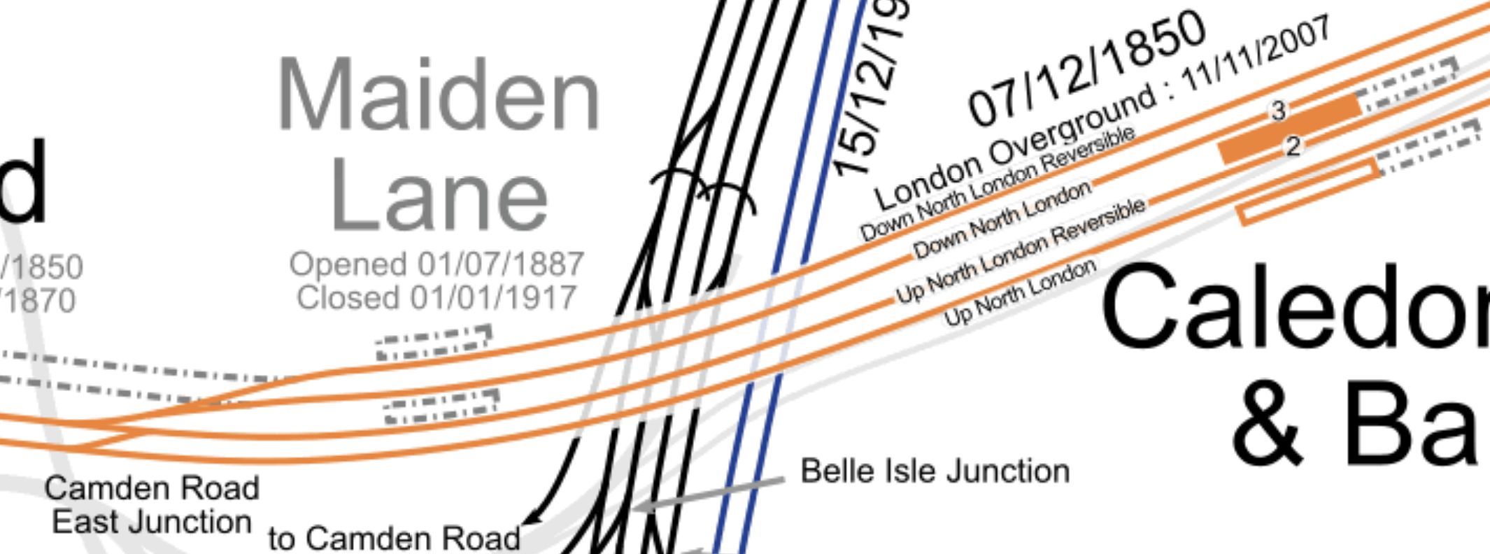
Consider.
- Eastbound London Overground services use the Down North London track and call in Platform 3 at Caledonian Road and Barnsbury station.
- Westbound London Overground services use the Up North London Reversible track and call in Platform 2 at Caledonian Road and Barnsbury station.
- To connect Platform 3 at Camden Road station to the Down North London Reversible and Down North London tracks, I suspect that Camden Road East junction will have to be remodelled.
I wonder if by the application of Network Rail’s latest track layout software, space could found for an island platform between the Up North London Reversible and Down North London tracks.
In Is Caledonian Road And Barnsbury An Ideal Four-Track Station?, I discuss the design of Caledonian Road and Barnsbury station,
I think it is a distinct possibility, that provision could be made for a future Maiden Lane station.
Will There Be Changes At Camden Road West Junction?
This map from cartometro.com shows the track layout to the West of Camden Road station.
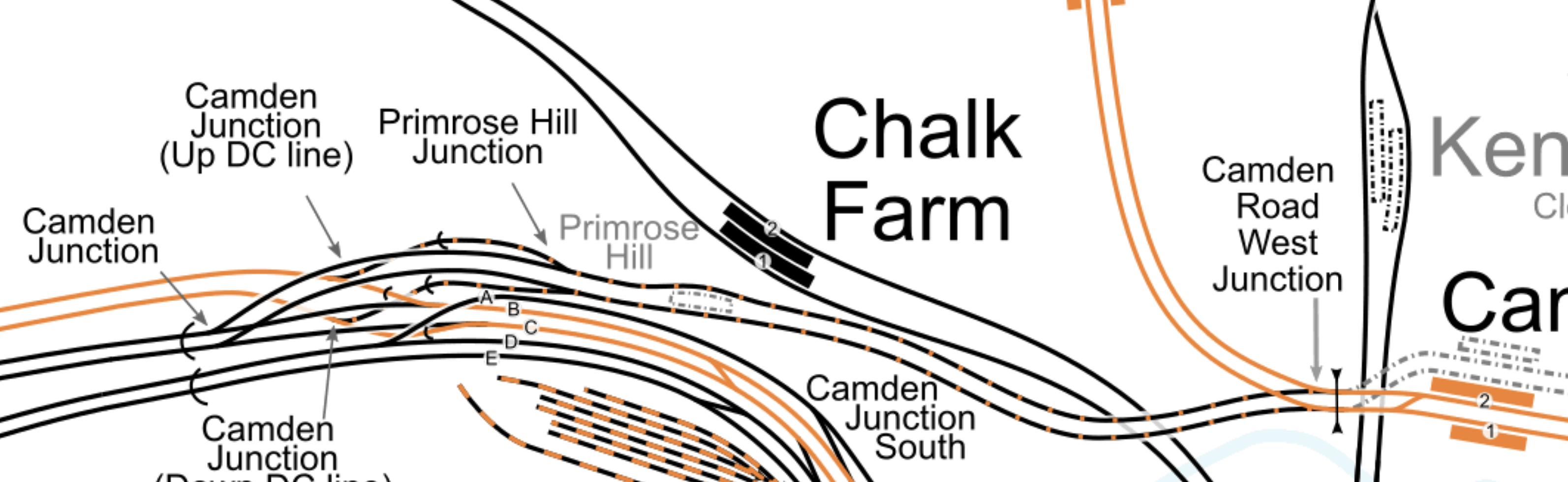
Note.
- Platforms 1 and 2 of Camden Road station at the Eastern end of the map.
- Camden Road West junction to the West of the platforms.
- The dotted lines of old tracks leading to the former Platform 3 and 4 at Camden Road station.
Two double tracks lead away to the West from Camden Road West junction.
- The orange tracks are the North London Line to Willesden Junction and Acton.
- The black and orange tracks are an extension of the Watford DC Line, that links Camden Road station to the West Coast Main Line via Primrose Hill station.
Will both pairs of tracks be connected to the North London Line at Camden Road West junction, as they are now?
- Currently, a few freight trains per day, use the Primrose Hill route.
- There have been plans in the past, for the London Overground to use this route.
- They have also been known to run a Rail Replacement Train between Willesden Junction and Camden Road stations during engineering works, as I wrote about in The Future Of The Watford DC Line.
So I suspect Network Rail will design a comprehensive junction, that is all things to all operators and trains.
Through Running Between The East London Line and Willesden Junction Station
This was originally talked about in the original plans for the London Overground.
If you travel on the Overground to Barking, Blackhorse Road, Canada Water, Highbury & Islington, West Brompton, Hampstead, Whitechapel or Willesden Junction in the Peak, the interchanges are very busy, as passengers are transferring to the Underground.
Was this why through running was originally proposed between the East and North London Lines at Highbury & Islington station, as it would allow direct connection to extra Underground lines?
But one of the aims of the Overground was to enable journeys around London without going via Central London.
Platform 3 at Camden Road station, seems to increase the capacity on the North London Line, so perhaps this upgrade would give extra paths to allow some services to terminate to the West of Highbury & Islington.
This map from cartometro.com shows the track layout to the West of Highbury & Islington station.
I’m sure if Network Rail’s engineers can sort out King’s Cross, then they can come up with a track and signalling system that can handle this,
Could Platform 2 At Camden Road Be Used As An Alternative Terminus For Watford DC Line Services?
Euston station is being rebuilt and Network Rail might like to kick Watford DC Line services out of the station either temporarily or even permanently.
There are two routes that the Watford DC Line could take to get between Harlesden and Camden Road stations.
- They can use the route, I took one Sunday, when the London Overground was running a Rail Replacement Train, via Willesden Junction Low Level, Kensal Green, Queens Park, Kilburn High Road and South Hampstead.
- They might also be able to join the North London Line an improved Kensal Green junction.
The first route works and the second may need some extra work at Harlesden junction.
I estimate that Platform 2 at Camden Road station is presently as long as 120 metres.
I also estimate that it could be lengthened at both ends, during the building of a new platform 3 alongside.
Could a platform be built long enough to be able to handle two trains simultaneously?
- A four-car Class 710 train at the Western end.
- A five-car Class 378 train at the Eastern end.
A 200 metre long platform would probably suffice!
I think the concept has possibilities.
- Willesden Junction station has connections to the Bakerloo Line.
- West Hampstead station has connections to Thameslink and the Jubilee and further connections could be developed,
- Camden Road station could be connected to Camden Town station, which is on both branches of the Northern Line.
- A reopened Primrose Hill station could be connected to Chalk Farm station on the Northern Line.
- The Northern Line connects to Crossrail at Moorgate and Tottenham Court Road stations.
I suspect, if Camden Town station were to be expanded and rebuilt, that the connection between the two Camden stations would be more likely.
Either route could be taken between Willesden Junction and Camden Road stations.
But I feel, it might be less costly to take the North London Line route, especially, as this connects to West Hampstead station.
Could The Track Layout Be Further Simplified?
I’m no track expert, but it strikes me that a four-track layout could be built between just East of Camden Road station and Westbourne Road junction. From North to South these tracks would be.
- Eastbound Freight line – Connecting at the Western end to Platform 3 at Camden Road station and following the existing Down North London Reversible track to Westbourne Road junction.
- Eastbound Overground line – Connecting at the Western end to Platforms 2 and 3 at Camden Road station and following the existing Down North London track through Caledonian Road and Barnsbury station to Westbourne Road junction.
- Westbound Overground line – Connecting at the Western end to Platforms 1 and 2 at Camden Road station and following the existing Up North London Reversible track through Caledonian Road and Barnsbury station to Westbourne Road junction.
- Westbound Freight line – Connecting at the Western end to Platform 1 at Camden Road station and following the existing Up North London track to Westbourne Road junction.
Note.
- Both freight lines would be long enough for signallers to hold freight trains, so that other services could overtake.
- East of Caledonian Road and Barnsbury station, Overground and freight service would share the two tracks, as they do now!
- West of Camden Road station, Overground and freight service would share the two tracks, as they do now!
It strikes me that by good design, the capacity and speed through this section of the busy North London Line can be increased.
Related Posts
These are related posts about the London Rail Freight Strategy (LRFS).
Decarbonisation Of London’s Freight Routes
East Coast Main Line South Bi-Directional Capability
Gauge Improvements Across London
Headway Reductions On The Gospel Oak To Barking, North London and West London Lines
Heavy Axle Weight Restrictions
Kensal Green Junction Improvement
Longhedge Junction Speed Increases
Moving The West London Line AC/DC Switchover To Kensington Olympia
Moving The West London Line AC/DC Switchover To Shepherd’s Bush
Stratford Regulating Point Extension
Will Clapham Junction Station Get A Platform 0?
£3m Hackney Overground Station Upgrade To Begin In June
The title of this post, is the same as that of this article on the Hackney Gazette.
Selfishly, this is the improvement, that I’m waiting for.
I live to the West of Dalston Junction station on the 38 bus route. The second entrance will make getting to and from Stratford and the various attractions there much easier.
