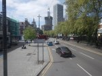
Will The Liverpool Street Rebuild Have More Platforms?
I asked Google AI, the question in the title of this post and received this reply.
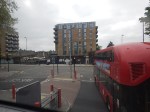
The approved £1bn+ redevelopment of London Liverpool Street Station, greenlit in February 2026, focuses on increasing capacity and accessibility rather than adding new platforms. The plans, to be completed by mid-2036, involve enlarging the concourse by 76%, increasing lifts/escalators, and providing step-free access to all existing platforms.
Platform Changes: While there is no mention of increasing the total number of train platforms, the project will significantly improve access and reduce congestion.
Capacity Enhancements: The project includes a 76% increase in concourse capacity.
Infrastructure Upgrades: Escalators will increase from four to ten, and eight new lifts will be installed.
Accessibility: The project aims to provide full step-free access across all rail and underground platforms.
New Construction: A large, multi-story office building is planned above the station, and the concourse area will be redesigned for better flow.
The project aims to handle over 200 million passengers annually by the time it is finished.
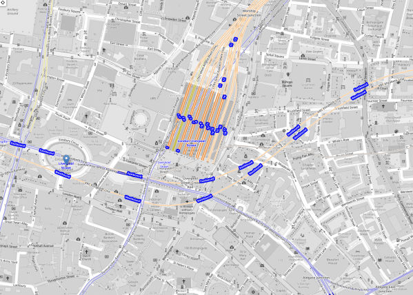
This OpenRailwayMap shows the layout of tracks in the station.
Note.
- The square block in the middle of the map are Platforms 1-18 of the main station.
- Eighteen is in the East and 1 is in the West.
- The Central Line of the London Underground runs diagonally in blue under the main station.
- Running in orange from the West to the North-East in front of the station is the Elizabeth Line.
- Running South of Lizzie in blue are the sub-surface lines of the London Underground.
I wonder, if at some point in the distant future, a terminal platform or two could be added to the very deep Elizabeth Line, that connected to tunnels underneath Liverpool Street station.
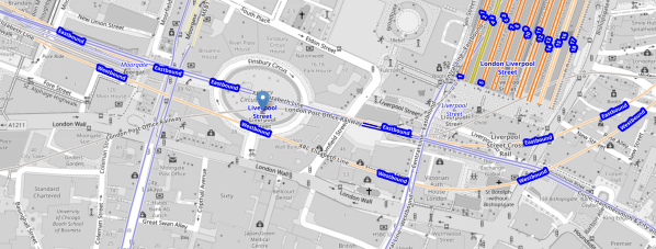
This second OpenRailwayMap shows the sub-surface lines and the Elizabeth Line, as they pass across in front of Liverpool Street station.
Note.
- Moorgate Station is in the North-West corner of the map
- Moorgate Statation has two virtually unused west facing bay platforms.
- The sub-surface lines are shown in blue.
- The Elizabeth Line is shown in orange.
- Finsbury Circus is in the middle of the map, with the sub-surface lines underneath.
- The Central Line is shown in blue and crosses between Finsbury Square and Liverpool Street station on its way to Bank.
- In front of Liverpool Street station, there is a disused bay platform on the sub-surface lines.
- The Bank branch of the Northern Line and the Great Northern run North from Moorgate station.
- Access to the Great Northern could be improved.
I feel there is scope for more trains to be run on the sub-surface lines through Moorgate and Liverpool Street.
- Accessibility to the sub-surface lines at Moorgate and Liverpool Street station could be improved.
- There has been talk of extending some services to Barking.
There is certainly scope to improve the sub-surface lines.
Did I Have A Funny Turn Caused By Dehydration This Morning?
I followed my usual Sunday morning routine today
- I took my drugs with a large mug of tea.
- I had a deep bath with emollient in the water.
- I put my head under the water and opened my eyes, to clear the massive amount of sleep, I get overnight in my eyes.
- I then went to Leon in Hanover Square for a good Full English gluten-free breakfast.
Unusually, Leon made a mistake and didn’t put any milk in my tea, so I didn’t drink it. So was I low on fluids?
A Transformer Is Being Moved Tonight
This press release from National Grid is entitled National Grid Prepares For Two Major Supergrid Transformer Deliveries In London.
The first one is to be moved into Redbridge substation tonight, so I went to have a look after breakfast.
- It was easy to get to the site, as it is close to Redbridge station on the Central Line.
- Out of the Underground, it was quite hot.
- By the time, I got to Redbridge station, I was feeling slightly unwell and felt my balance was poor.
- So I immediately turned around and came home using the Central and Lizzie Lines to Moorgate, where I took a bus home.
- I was certainly feeling better in the air-conditioned atmosphere of the Lizzie Line.
Since I’ve been home, I have been continuously drinking Adnams 0.5 % Alcohol Ghost Ship and I feel that I am now back to normal.
I asked Google AI “Can being dehydrated affect your balance?” and got this answer.
Yes, dehydration can definitely affect balance. It can lead to dizziness and a feeling of unsteadiness, which can make it harder to maintain balance. This is because dehydration can disrupt the fluid balance in the inner ear, which plays a vital role in balance.
I can remember an incident in my thirties, when I fell down the escalator at Oxford Circus station and went round to the Middlesex Hospital to be cleaned up.
Did Dehydration Play A Part In My Serious Stroke?
I had my stroke during breakfast in the Mandarin Oriental Hotel in Hong Kong. I’d had two or possibly three very small strokes early in the morning before and I know from measuring my weight, that I can lose up to a kilo overnight.
So I asked Google AI “Can dehydration cause strokes?” and got this answer.
Yes, dehydration can increase the risk of stroke. When the body lacks sufficient fluids, blood volume decreases, potentially leading to thicker blood and reduced blood flow to the brain. This can exacerbate existing blockages in blood vessels or make it more difficult for blood to reach the brain, potentially causing an ischemic stroke.
My late wife drunk a lot more fluids that I do and perhaps, I should have followed her example more, of always having water handy?
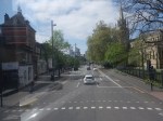
Did Plans For Crossrail Ever Include A Station At Holborn?
I have only one North-South bus route, where I live.
The 141 bus connects Palmers Green and London Bridge station.
- The 141 bus was the replacement for the 641 trolley bus, which was the main link between Wood Green, Turnpike Lane and Harringay, and the City of London, when I was a child.
- The vehicles are up to ten years old Wrightbus diesel hybrids.
- The route suffers badly from overcrowding as it connects, Bank and Moorgate stations in the City of London, with the outer reaches of the Piccadilly Line.
The overcrowding on the 141 bus route has got worse in the last couple of years because of the following.
- The rebuilding of London Bridge station brought more passengers to the 141 bus route.
- The opening of the new London Bridge bus station at London Bridge station has improved access to the buses at London Bridge station.
- The improvement of the connection of the buses to the Docklands Light Railway, Central Line and Northern Line at Bank station.
- The opening of the Battersea branch of the Northern Line, which brings more passengers to Bank station.
- The opening of the new Cannon Street entrance to Bank Underground station.
- The opening of the Elizabeth Line through Moorgate station.
- Recently, a new walking route between Moorgate and Liverpool Street was opened, which will bring more passengers to the buses on Moorgate.
- The rebuilding of Old Street station brought more passengers to the 141 bus route.
So what was the response of the Mayor and Transport for London, to all this increase of passenger numbers?
The 21 bus, which shadowed the 141 route, and doubled the number of buses through where I live, was moved to serve Holloway.
It was a big crime against mathematics and the wishes of our long-serving Labour MP; Meg Hillier.
So to handle many more passengers between London Bridge station and Newington Green through the City of London, the number of buses was halved.
I believe that the overcrowding will get worse because of the improvements, that Transport for London have planned.
- The Piccadilly Line will be getting new air-conditioned trains within a couple of years and these will inevitably attract more passengers to the line.
- On the other hand the air-conditioning may persuade passengers to use the Piccadilly Line more than they do now. Instead of changing to the 141 bus at Manor House station, passengers could change at Finsbury Park, King’s Cross St. Pancras or Holborn stations for other routes to the City of London.
- The third line to receive the new air-conditioned trains will probably be the Central Line, which would create another East-West air-conditioned line and bring more passengers to Bank station.
- The Central Line could give some relief for the buses through Bank, if an extra station was built on the Central Line to interchange with Shoreditch High Street station on the East London Line of the London Overground.
- The fourth line to receive the new air-conditioned trains will probably be the Waterloo and City Line, which would create another air-conditioned line and bring more passengers to Bank station.
- It is likely, that more services will be added to the Elizabeth Line, which will bring more passengers to Moorgate station.
- It is likely, that more services will be added to the Northern City Line, which will bring more passengers to Moorgate station.
- The Mayor is also planning to pedestrianise Oxford Street, which may fill up the Central Line with extra passengers.
It looks to me, that there will be a need for a large increase of bus capacity through the City of London on a North-South axis.
On the other hand, the City of London have stated that they will pedestrianise many of their streets.
So what can be done to avoid gridlock in the City of London?
Develop The Northern City Line At Moorgate
I use this route regularly to and from Moorgate station.
- It already has new Class 717 air-conditioned trains.
- The route is already digitally signalled in conjunction with the East Coast Digital Programme.
- It has two platforms at Moorgate station.
- Highbury & Islington station has interchanges with the Victoria Line and the North and East London Lines of the London Overground.
- Finsbury Park station has interchanges with the Victoria Line and National Rail services.
- Bowes Park station has an out of station interchange with Bounds Green station on the Piccadilly Line.
- Step-free access needs improving.
- The Victorians had plans to extend the line to Lothbury near Bank station.
If the Northern City Line could handle more passengers, would passengers get to all parts of the City of London by changing at Finsbury Park and walking from Moorgate or Old Street stations?
I regularly go between my house and Moorgate, by taking a bus to Essex Road station and using the Northern City Line.
I believe that with improvements on the Northern City Line, the line could be turned into a very valuable part of London’s rail infrastructure.
Connect The Central Line And The East London Line At Shoreditch High Street Station
I wrote about this proposal in Will Shoreditch High Street Be Connected To The Central Line?
The Elizabeth Line needed to be completed before this could be started.
Build The Western Extension Of The Docklands Light Railway
I wrote about this proposal in The Bank Station Upgrade And The Western Extension Of The DLR.
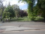
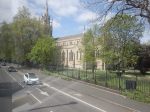
Rebuild Holborn Station
The interchange between Piccadilly and Central Line at Holborn station is difficult to say the least.
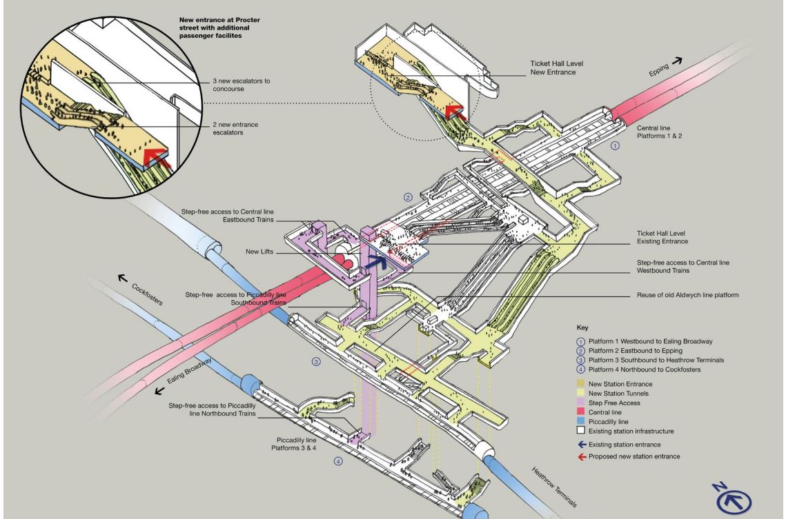
Holborn station is being extended with a new entrance. As with Euston, I suspect it has been designed with a feasible place for DLR platforms to be added.
This document on the TfL web site, gives more details of what is proposed at Holborn station.
I extracted this visualisation of the proposed station.
This map from carto.metro.free.fr shows the lines in the through and around the station.
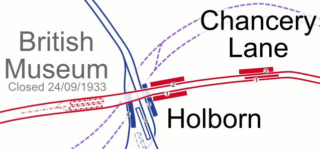
.Note, the Elizabeth Line, which is shown by dotted lines passes to the North of the station.
Conclusion
Not all these improvements need to be done, but each would improve transport in the City of London.
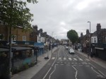
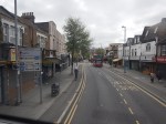
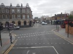
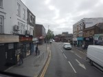
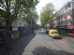
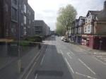
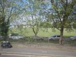
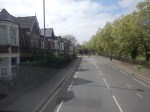
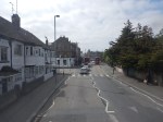
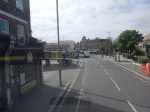
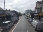
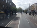
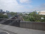
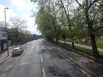
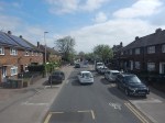
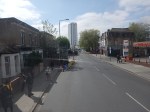
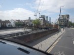
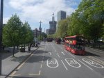
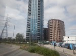
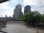
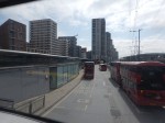
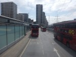
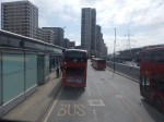
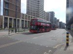
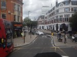
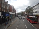
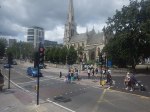
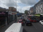
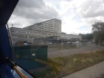
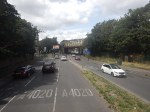
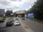
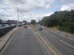
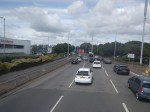
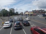
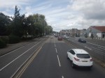
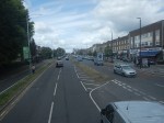
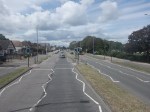
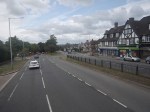
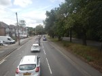
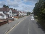
Between Walthamstow Central And Canning Town Stations On A 69 Bus
I have a feeling, that the 69 bus route, which currently runs between Walthamstow Central and Canning Town stations, could be usefully extended to become.
- A new route through the Silvertown tunnel.
- A formal connection between the Eastern ends of the Victoria and Jubilee Lines
- Part of Superloop
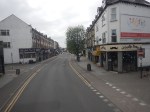
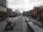
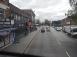
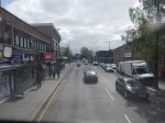
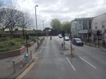
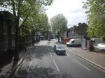
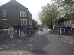
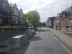
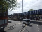
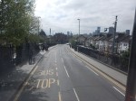
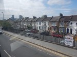
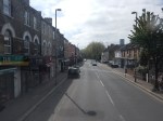
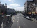
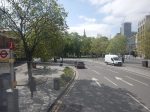
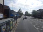
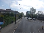
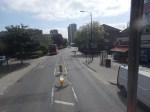
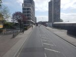
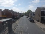
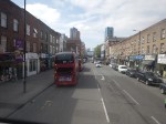
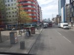
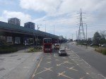
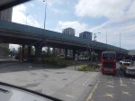
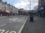
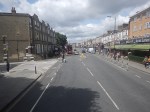
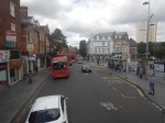
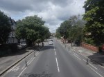
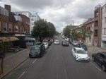
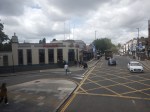
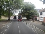
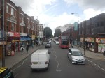
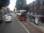
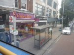
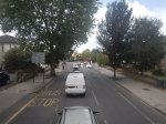
I took these pictures from the front of the top deck.
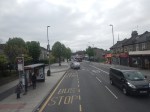
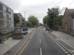
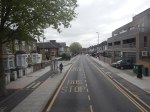


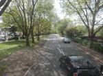
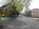
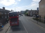
Note.
- I was sitting at the front of the bus on the right side of the top deck.
- Walthamstow Central station is served by the Victoria Line and the London Overground.
- The 69 bus runs every few minutes.
- Walthamstow Central station has a well-connected modern bus station.
- Leyton Midland Road station is on the Gospel Oak to Barking Line.
- The Leyton Engineer appears to be a beautifully restored pub.
- The six-lane A12 East Cross Route is crossed on a bridge just before Leyton station.
- Leyton station is on the Central Line.
- Maryland station is on the Elizabeth Line.
- The Great Eastern Main Line and the Elizabeth Line are crossed on a bridge at Maryland station.
- The prominent church is St. John’s, Stratford.
- Plaistow station is on the Metropolitan Line.
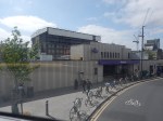
- Canning Town station is on the Jubilee Line and is a hub for the Docklands Light Railway.
- Canning Town station is suffering a degree of refurbishment at the moment and is a bit of a nightmare on foot at the moment.
The 69 bus route connects eight railway stations and at least eight railway lines.
The roads are generally wide and there are more trees than in other parts of London.
When Silvertown Opens, Blackwall Tolls Start Too
The title of this post, is the same as that of this article on the BBC.
This is the sub-heading.
In under a month, tolls will be introduced for drivers at the new Silvertown Tunnel and the existing Blackwall Tunnel in east London.
These four paragraphs add detail to the story.
For car drivers it will cost £8 a day in peak. These are huge changes to London’s transport network and awareness seems to be low.
The new highly controversial Silvertown Tunnel opens on 7 April.
Critics have dubbed the crossing a huge polluting white elephant that will do nothing to cut congestion and pollution with little or no business case.
Supporters say it will reduce congestion on the old, existing Blackwall Tunnel and improve resilience on the crossing that closes between 600-700 times a year. It will also provide more cross river bus routes as well as a bus that can carry bikes.
As a very experienced mathematical modeller, my gut feeling is that four new tolled lanes under the River Thames is not the solution.
These are my thoughts.
Transport for London Are Not Good Mathematical Modellers
As a non-driver, I rely heavily on the 141 bus for transport.
- It stops close to my house.
- It takes me to and from Moorgate, where I also pick up the Elizabeth Line.
- It takes me to and from Bank, where I also pick up the Central Line.
- It takes me to and from River Thames, from where I pick up the Thames Clippers.
- It takes me to and from London Bridge station, where I also pick up theThameslink.
- It takes me to and from Manor House station, where I pick up the Piccadilly Line.
- It takes me to and from Harringay Green Lanes station, where I pick up the Gospel Oak to Barking Line.
I must admit some of the reasons I like the bus route, are that it connects me to my childhood memories of WoodGreen, Southgate, Oakwood and Cockfosters.
When, I moved here, there were two North-South buses that ran within fifty metres of my house.
- The 21 bus ran between Newington Green and Lewisham.
- The 141 bus ran between Palmers Green and London Bridge station.
Then, two years ago the Elizabeth Line and the rebuilt Bank station both opened, followed a year later by an upgraded Old Street station.
These three improvements, added a lot more passengers to the North-South corridor, between London Bridge station and Newington Green roundabout.
I suspect a quality modelling of bus passengers North-South, through the city of London, would have shown, that more buses were needed on the combined 21/141 route.
So what did Sir SadIQ and Transport for London do? They rerouted the 21 bus away from the busiest section through De Beauvoir Town.
In their modelling, I suspect.
- They overestimated how many travellers used the Northern Line.
- They ignored the fact, that the Piccadilly Line doesn’t serve the City of London.
- They ignored the fact, that the Piccadilly Line doesn’t connect to the Elizabeth Line.
- They ignored the fact, that the 141 bus, is the only direct way between Palmers Green, Wood Green, Turnpike Lane and Manor House to the City of London.
- They felt De Beauvoir Town was a posh area and doesn’t need more buses, as residents can use their cars.
Halving the number of buses was a seriously bad decision.
I now have a damaged left knee due to constant standing on overcrowded buses.
It’s also got a lot worse lately due to constant bus diversions and cancellations, due to Islington’s LTNs and constant road works.
I’ve heard similar tales of bad bus planning from all over London.
So why should I trust Transport for London’s traffic modelling on the Silvertown and Blackwall Tunnels?
The Silvertown And Blackwall Tunnel Share Approach Routes
This map from the BBC article shows the layout of the two tunnels and their approach roads.
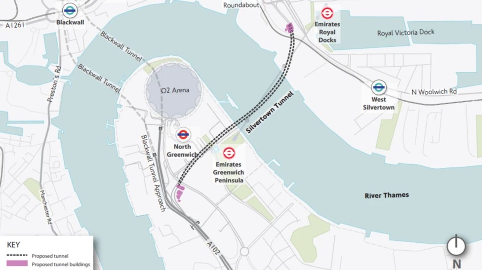
Note.
- The Blackwall Tunnel is two, two lane tunnels, one in each direction.
- The Silvertown Tunnel is one four lane tunnel, with two lanes in each direction.
- The O2 lies between the two tunnels.
The map shows the shared approach road for both tunnels.
What happens if there is an accident on the approach to the tunnels?
Tolling Problems
I feel that the tolling regime is overly complicated.
Hopefully, any problems this causes will lessen, as drivers know what to do.
The Sat-Nav Route Between The Tunnels And The M1
I’ve just looked one recommended route up, not that I have a Sat-Nav and I’ve never used one and the route is straightforward.
- Blackwall Tunnel Northern Approach to Hackney Wick.
- Wick Lane to Hackney Central.
- Graham Road and Dalston Lane to Dalston Junction
- Balls Pond Road to Southgate Road/Mildmay Park
- St. Paul’s Road to Highbury & Islington station.
- Holloway Road to Archway.
- Archway Road, Aylmer Road and Falloden Way to Henly’s Corner.
- North Circular Road and Great North Way to the M1.
I live just South of the Southgate Road/Mildmay Park junction and often these days it is jammed solid.
But there is another route from Hackney Wick.
- A12 to Redbridge Roundabout on the North Circular Road.
- North Circular Road to the M1.
I dread to see what happens, when the Dartford Crossing is closed and heavy trucks from the Channel Tunnel to the M1, decide to take the Silvertown Tunnel as an alternative route.
More Mushroom Management On TfL Buses
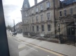
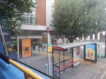
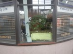
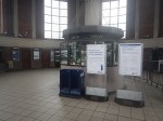
After my experience in Mushroom Management On TfL Buses, I’ve changed my weekend breakfast routine at weekends, to one where on Saturdays and Sundays, I eat breakfast in London’s poshest Leon at Hanover Square, which I wrote about in A Quality Takeaway With A Station And A Large Garden.
It is a large restaurant.
It has comfortable seating.
It is within my not very long walking distance of the Bakerloo, Central, Elizabeth, Jubilee and Victoria Lines, and Oxford Street with all its buses.
There is a garden with seating in the square.
This picture shows the frontage of the building.
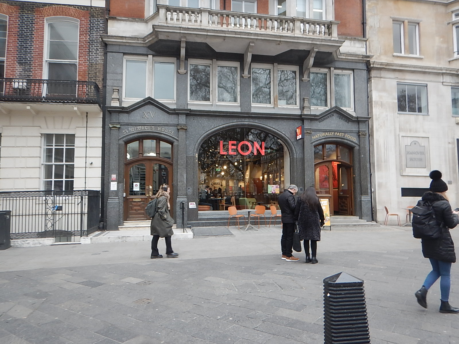
It’s certainly not your average takeaway or fast food outlet.
Normally, Hanover Square is a very easy location for me to travel to.
- I walk round the corner to the stop for the 38 bus.
- The 38 buses are usually every 3-4 minutes and I travel to Tottenham Court Road station.
- I go one stop on the Elizabeth Line, travelling in the rear of the train to Bond Street station.
- I’m then at the right end of the station to exit directly into Hanover Square, after riding up from the depths on a long escalator.
Leon is just a fifty metre walk away.
Today, there were no problems, although I did cut it a bit tight.
But all was fine in the end and I had a good full-English breakfast.
A Difficult Journey Home!
When, I set off from home, I wasn’t sure which way, I would come home.
In the end, I decided to come home the simple way of taking the Elizabeth Line to Moorgate station and then getting the 141 bus from there, as it stops close to my home.
But this route has the Elizabeth Line end-changing problem, in that the Hanover Square entrance at Bond Street station is at the Eastern end of the train and the Moorgate entrance at Liverpool Street station is at the Western end of the train.
So at some point in the journey, I would have to take a two-hundred metre walk, either on the platform or inside the train. The latter is not easy on a train to and from Heathrow, as it is often stuffed full with cases in the aisle. Why do people want to take all the contents of their house on holiday?
So I decided to go via a reverse at Whitechapel, where I positioned myself at the Western end of the train for exit at Moorgate.
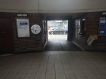
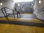
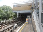
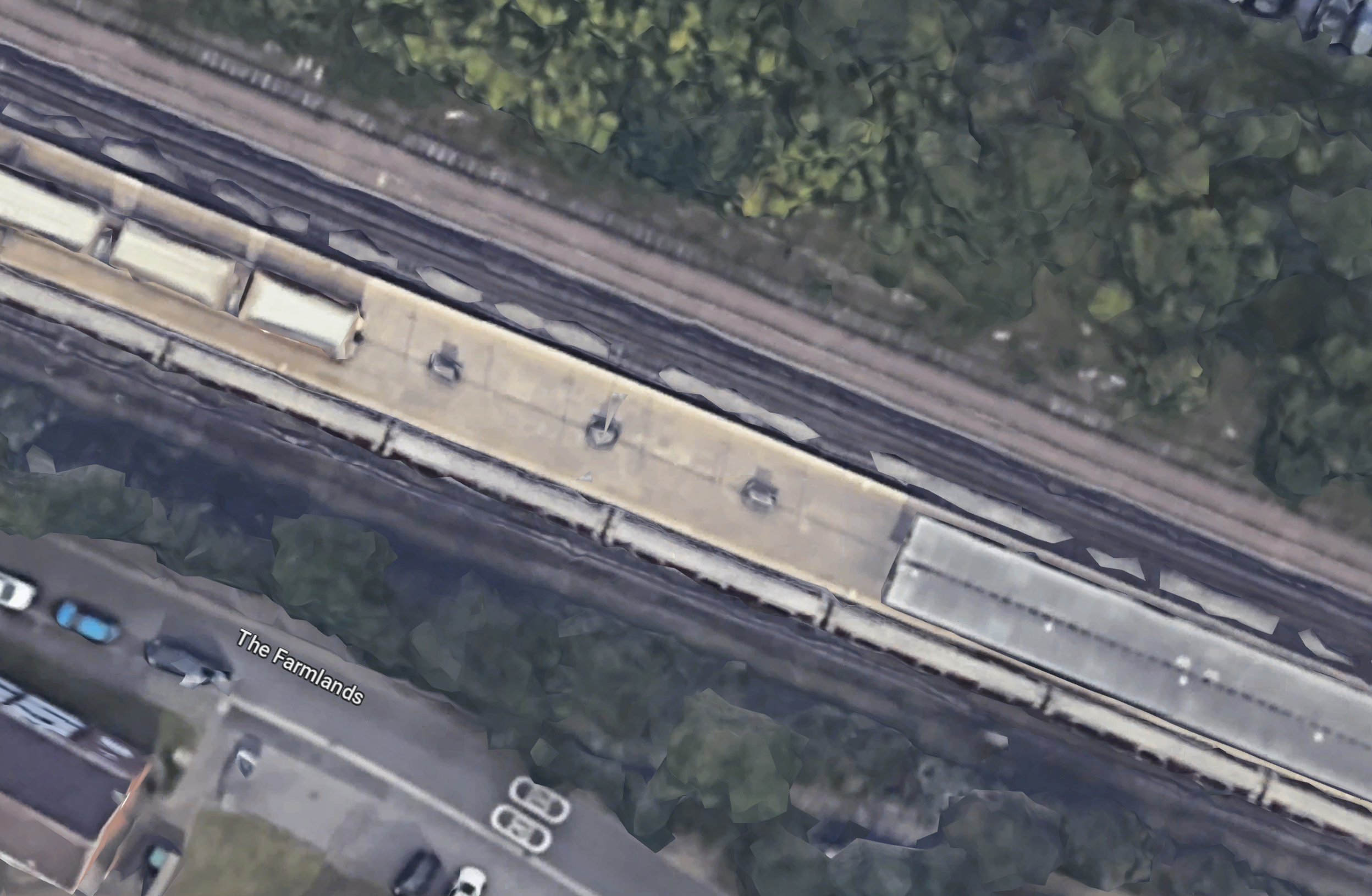
It really was necessary to install travellators at Liverpool Street station on the Elizabeth Line, as between the two entrances is a long walk, as this graphic shows.
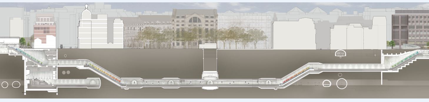
Note.
- Moorgate is to the left
- Liverpool Street is to the right.
But then Transport for London wanted a spectacular line with spectacular stations, that would win awards. Which it has!
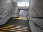
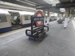
I alighted from the train at the Moorgate end of the station, which meant that after two escalator rides and a short walk, I was at the 141 bus stop on the surface.
But there were no buses of any numbers calling at the stop.
This was because of the Lord Mayor’s Show, which meant there were no buses through the City.
But.
- There were no posters at stations saying that the show was taking place and buses would be diverted.
- Displays on bus stops were not saying anything about the show.
- The BBC hadn’t mentioned the Lord Mayor’s Show on the TV this morning.
- The BBC doesn’t have a local news at weekends, which would surely have mentioned the show and its effects on public transport.
- The display on the bus stop at Moorgate was still broken, as it has been for six months.
- There was a small information poster on the bus stop, but it was positioned too high for me to see.
- Taxis seemed to be avoiding the City.
There were a few stewards about and one suggested, that I walked to Old Street, which would not be easy on my legs.
In the end, I decoded that a retreat via Whitechapel and Dalston Junction was probably the best way to get home, as the Overground would be unlikely to be effected.
But I made the mistake of getting on a Circle Line train at Moorgate, so I didn’t get to Whitechapel.
Instead, I walked to the 141 and 21 bus stop at Monument station and caught a 21 bus North. I hoped that I would be able to connect to the 141 bus, that I needed to get home.
I did get safely home, but only after two long waits at bus stops, where I changed bus routes twice.
Conclusion
Transport for London need to devise bus plans for all major events and publicise them well in advance.
In London’s New 733 Bus Route, I described how Transport for London put in a temporary bus route between Finsbury Square and Oval stations to replace the Northern Line during the upgrade of Bank station.
As the Lord Mayor’s Show happens every year, surely the same plan can be rolled out each year, with any appropriate changes.
I’d be interested to know whether other large cities have plans for big celebrations in city centres.
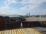
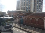
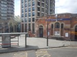
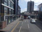
Riding The SL8 Bus Between Shepherd’s Bush Market And Uxbridge Stations – 16th July 2023
This draft map from TfL illustrates the concept of the Superloop.
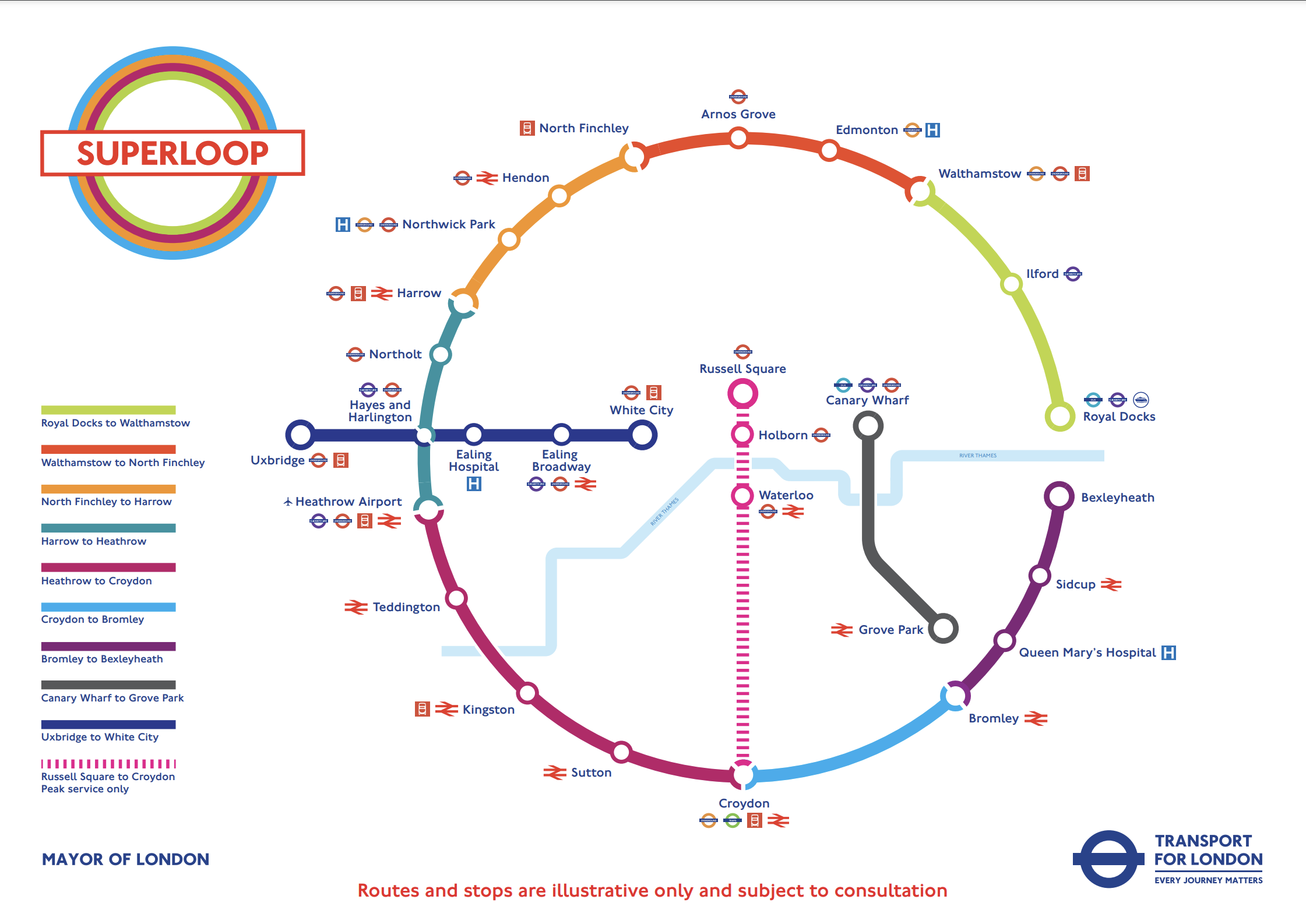
The spoke on the Western side of the map is route SL8 between White City and Uxbridge stations.
This morning I rode the route between Shepherd’s Bush Market and Uxbridge stations and took these pictures.


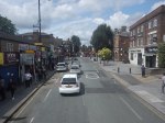
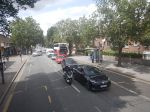

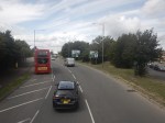
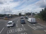


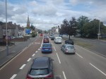
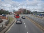
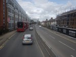
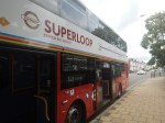
Note.
- Some of the buses have still to be painted in the new white-topped Superloop livery.
- The buses are diesel-powered.
- The stops have their own livery.
- I estimate the route is 12.3 miles long and the bus took 67 minutes.
- The frequency appeared to be typically four buses per hour.
- The route is mainly dual-carriageway to the West of Ealing Hospital.
Route SL8 used to be route 607 and except for the branding nothing has changed.
I have few thoughts.
The Concept
The concept seemed to work well, where the roads were free of traffic.
But we get get a bit delayed through places like Ealing Broadway, where parking reduced the width of the road.
The Route
The route connects quite a few stations and other important locations.
From East to West they include.
- Westfield Shopping Centre
- Shepherd’s Bush station for the Central Line and the Overground.
- Shepherd’s Bush Market station for the Hammersmith and City Line
- Acton Central station for the Overground
- Ealing Common station for the District and Piccadilly Lines.
- Ealing Broadway station for the Central, District and Elizabeth Lines.
- Ealing Broadway
- Ealing Town Hall
- Ealing Hospital
- Southall Broadway
- Hayes
Note.
- The route is very much the same as the now-abandoned West London Tram, which was proposed twenty years ago.
- The tram was opposed y the three London boroughs on the route, as it cut them in half. But buses don’t cause the same problems.
- The Superloop map shows that the SL8 bus calls at Hayes and Harlington station, but we went nowhere near it today.
- The route with its sections of dual carriageway and congested shopping streets was a bit like the route o Birmingham’s hydrogen buses, that I wrote about in Riding Birmingham’s New Hydrogen-Powered Buses.
I feel as the route is very similar to the West London Tram, which was probably extensively researched, that there won’t be too many changes to this route.
Parking Along The Route
I wouldn’t be surprised to see more parking restrictions along the route, to speed up the buses in the crowded shopping streets like Acton, Ealing Broadway and Southall Broadway.
The Buses
The buses are Egyptian-built eVoSeti diesel buses, which use a Volvo chassis.
- I don’t like these buses as they don’t have a flat floor and I’ve seen some passengers struggling with the stairs on the lower deck.
- At least the stairs to the upper deck aren’t too bad.
We used to have them locally in Dalston and I used to avoid them, if there was another bus close behind.
This new route, though should be served by zero-carbon buses, so that pollution and carbon emissions are reduced.
- Between White City and Uxbridge takes over an hour.
- A battery-electric bus would need recharging during the day.
- It looks like there’s not much space at White City and Uxbridge stations, to install charging stations.
- A hydrogen-powered bus could probably manage all day on one filling.
For these reasons, I suspect that hydrogen buses would be the preferred option.
Are Arnos Grove And Northolt Tube Stations Going Step Free?
BBC London local news announced this morning some Underground stations would be made step-free.
- It could have been two or ten stations, that would be made step-free.
- Arnos Grove and Northolt were definitely mentioned.
- A timescale of eighteen months was given.
The news story seems to have vanished without trace.
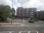
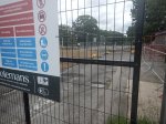
Arnos Grove Station
This Google Map shows Arnos Grove station.
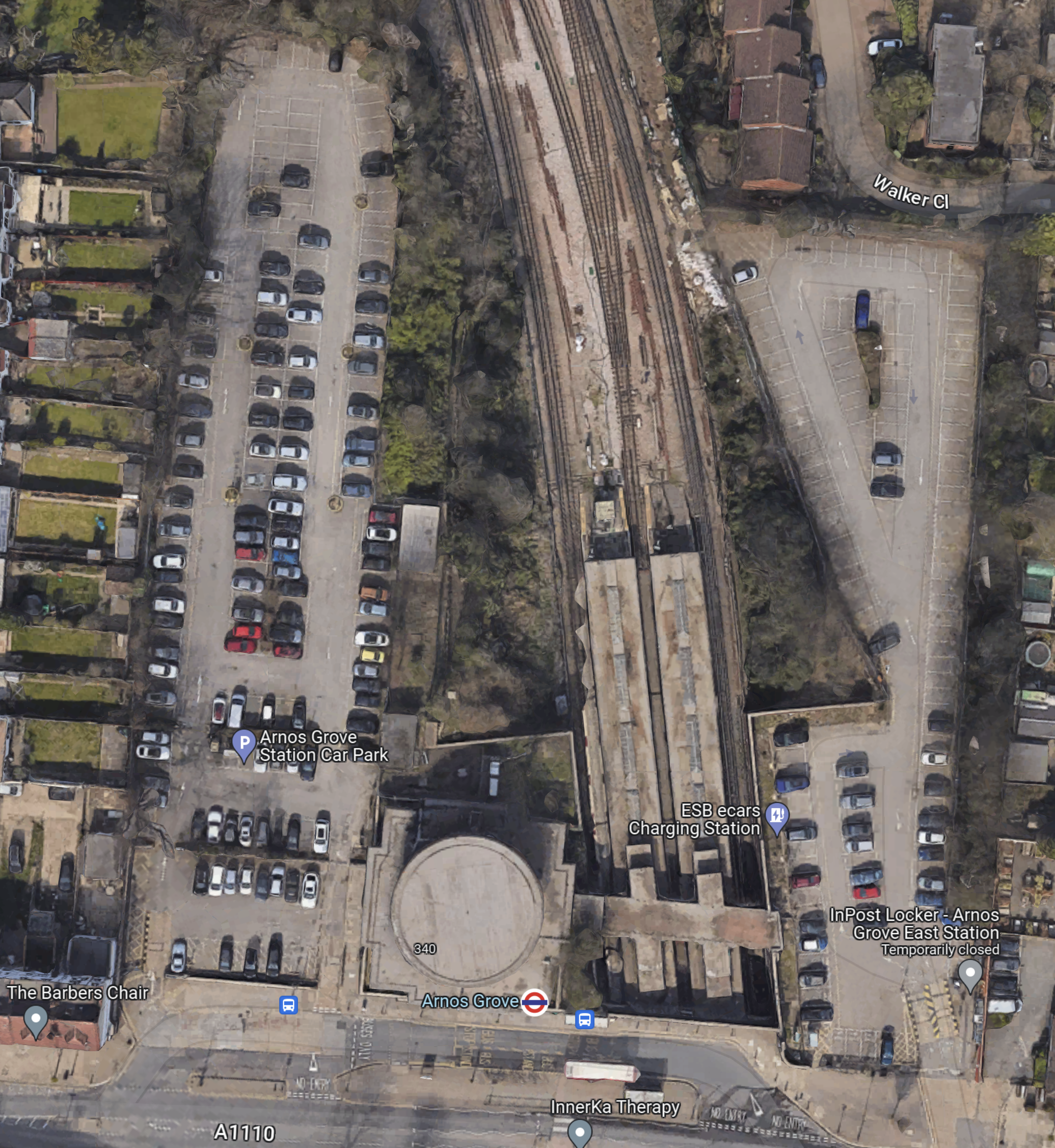
Note.
- The cylindrical shape of Arnos Grove station.
- The bridge over the tracks, which gives access to the trains to the East of the cylinder.
- Car parks to the East and West of the station.
- In Go-Ahead For West London 460-Home Build To Rent Scheme, I described how houses were to be built in the two car parks.
- According to this article on Ian Visits, which is entitled Plans To Build Flats On Arnos Grove Tube Station Car Park, there will be 162 flats in four blocks.
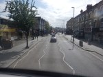
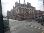
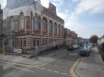
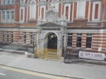
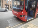
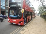
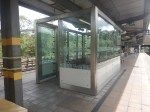
These pictures show Arnos Grove station.

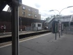
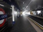
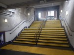
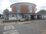
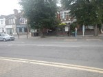


Note.
- Work on the flats on either side seems to have started.
- There are lots of period features.
- There will be a lot of work needed on the rather steep stairs.
- There will be a need for at least three lifts.
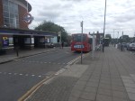
This page on Connected Living London, has a plan of the development.
- Gardens are shown each side of the iconic station.
- The gardens can be accessed from the pavement in front of the station.
- Southbound buses draw up in front of the station.
- A zebra crossing gives access to the Northbound buses on the other side of the road.
I suspect that there will be step-free access to the station bridge over the tracks from both gardens.
Northolt Station
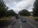
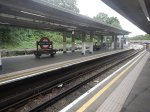
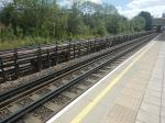
This Google Map shows Northolt station.
Note.
- The station entrance in the South-East corner of the map on Mandeville Road.
- The long island platform stretching North-West from the station building.
- An eight-car 1992 Stock train is in the Southern platform going West.
- The land on the Northern side of the railway appears to be low-grade woodland, which is quite similar to that at Arnos Grove station.
This map from cartometro.com shows the lines through Northolt station.
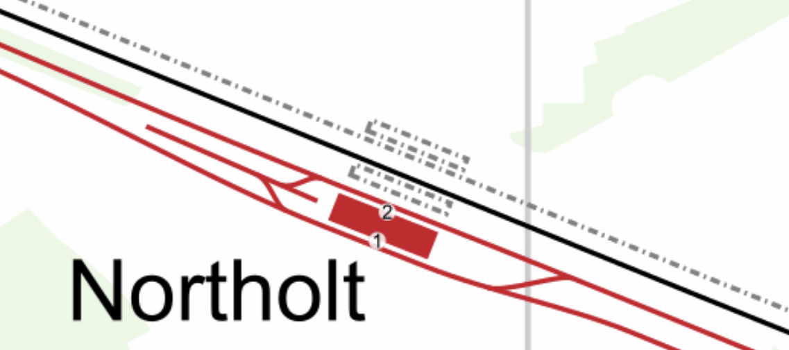
Note.
- The Central Line is shown in red.
- The Central Line is laid out so that there are two ways of turning a train back to London.
- The single-track Acton-Northolt line is shown in black.
- The former second track if the Acton-Northolt line is shown dotted, as are the two former platforms.
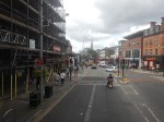
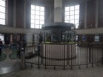
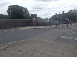
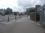
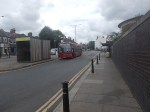
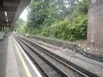
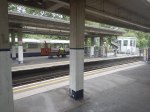
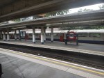
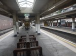
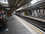
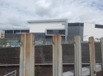
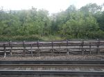
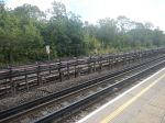
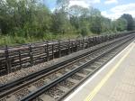
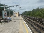
These pictures show Northolt station.
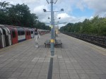
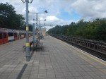
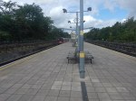
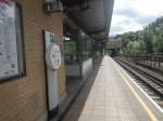
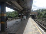
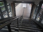
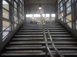
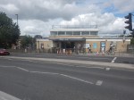
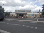
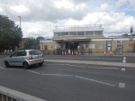
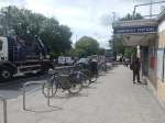
Note.
- The station is showing signs of a sympathetic refurbishment.
- The steps down to the platform is a double set of steps separated by a handrail.
- There is a stylish glass shelter.
- There doesn’t seem much space for a lift to the station entrance.
It should also be noted that for eleven in the morning, the station seemed busy.
These are Underground passenger figures for 2021 in million for stations between Hanger Lane and West Ruislip.
- Hanger Lane – 1.47
- Perivale – 1.08
- Greenford – 2.05
- Northolt – 2.47
- South Ruislip – 0.89
- Ruislip Gardens – 0.48
- West Ruislip – 0.71
Note.
- Greenford, South Ruislip and West Ruislip have some extra National Rail passengers.
- Greenford is the only station between Hanger Lane and West Ruislip, with full step-free access.
- Greenford station uses an inclined lift and I wrote about it in The Inclined Lift In An Improved Greenford Station.
As Northolt is the busiest station without step-free access, this is probably sufficient reason for step-free access to be installed.
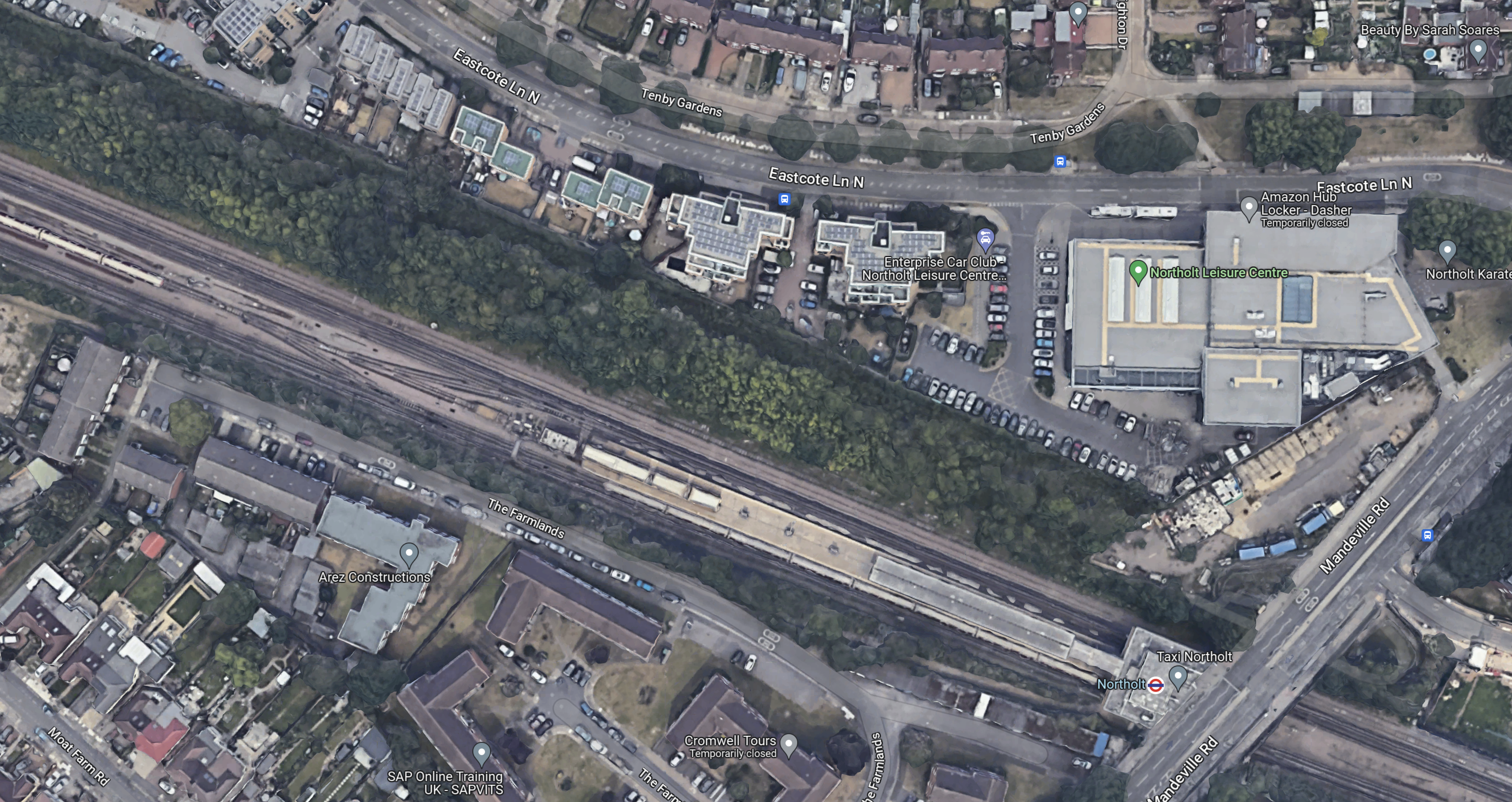
Could Step-Free Access At Northolt Be Linked To Property Development?
This Google Map shows a close-up of the station building and Mandeville Road.

Note.
- The station building is marked by the London Transport roundel.
- To the North of the station, is Northolt Leisure Centre, which was opened in 2010.
- Mandeville Road runs across the map to the East of the station and the Leisure Centre.
- In the South-East corner of the map, thee looks what could be a High Speed Two site, marked out with red and white barriers.
- Between the station and the Leisure Centre, there appears to be a site used for parking trucks.
Could it be possible to develop step-free access from the site to the North of the station?
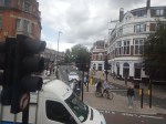
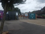
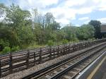
This second set of pictures show that site.
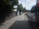
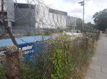

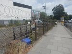
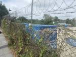
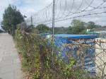
Note.
- The site is rather a dump.
- There is even a subway.
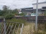
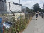
This third set of pictures, show the land on the other side of the Acton-Northolt line from the platform at Northolt station.
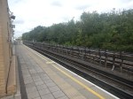

There are certainly possibilities! Especially if, housing were to be developed alongside the Northern side of the railway.
I suspect, that there could be a bridge across the railway, at this position in the station.
Certainly something would be possible.
Conclusion
Property development at both Arnos Grove and Northolt station would probably need step-free access at both stations.
If the BBC report was right, then to build the step-free access as the first part of the projects, is probably a good idea, as passengers get some early benefits.
I suspect though, that we’ll get a press release that says what is actually happening in a few days.
