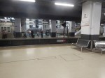
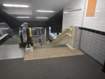
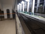
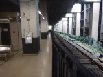
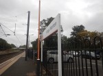
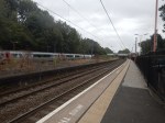
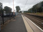
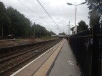
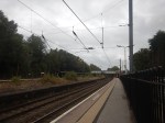
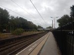
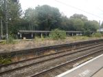
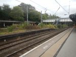
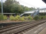
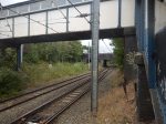
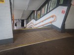
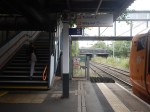
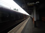
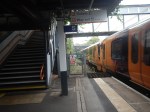
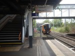
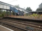
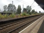
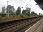
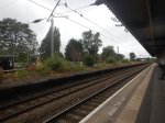
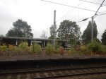
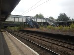
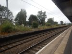
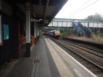
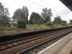
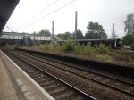
Euston Station – 22nd March 2026


I went for breakfast to Euston and took these pictures on a quiet Sunday morning.
Is More Capacity Between Heathrow Airport And Central London, Needed On The Elizabeth Line?
I asked Google AI, the title of this post and received this answer.
Yes, additional capacity on the Elizabeth line between Heathrow Airport and Central London is needed to manage high demand, despite it being a major upgrade. While the line has greatly improved connectivity, studies suggest that rising passenger demand, particularly from potential airport expansion, may require increasing services from 6 to 8 trains per hour to prevent future overcrowding.
Key Considerations Regarding Capacity:
High Demand: Passenger demand grew by ~40% between June 2022 and October 2023, with further growth expected.
Infrastructure Constraints: Increasing services beyond 6 trains per hour is challenging due to the need for signaling upgrades and potential platform length limitations.
Alternative Solutions: Experts suggest the Western Rail Link to Heathrow could relieve pressure by allowing direct access from the west, rather than requiring travel into central London first.
Future Upgrades: Further improvements, including enhanced signalling on the Piccadilly line and other rail links, are seen as necessary to handle future passenger surges.
Currently, the Elizabeth line provides up to 12 trains per hour (including Elizabeth line and Heathrow Express) on the relief lines, making it nearly at capacity.
Note.
- When I use the Elizabeth Line, I deliberately avoid trains going to and from Heathrow, unless I’m going that way, as they are too crowded with passengers and oversized cases.
- High Speed Two, the West London Orbital Railway and the North London Line will bring passengers for Heathrow Airport to Old Oak Common station.
- Surely, as Heathrow gets bigger and increases its passenger numbers. the Elizabeth Line will need to be increased in capacity.
I believe Elizabeth Line capacity needs to be increased soon.
Does The UK Need More Passenger Rail Capacity Between London And Glasgow?
I asked Google AI this question and received this answer.
Yes, the UK requires more passenger rail capacity between London and Glasgow to meet growing demand and combat overcrowding, with key improvements and new services planned on the East Coast Main Line (ECML) through 2025. Despite previous capacity constraints on main routes, rail has overtaken air as the preferred mode of travel for these journeys, necessitating increased frequency.
Key details:
Capacity Expansion: The Office of Rail and Road (ORR) approved new services for late 2025, including Lumo extending London-Edinburgh services to Glasgow.
Growing Demand: Passenger numbers on West Coast routes showed significant growth, with a 29% increase in Glasgow-London travellers reported between 2013 and 2019.
Infrastructure Constraints: While demand increases, the ORR has rejected some service proposals due to insufficient capacity on the existing, congested lines.
Future Upgrades: HS2 is expected to improve connectivity, targeting reduced journey times to under 3 hours 40 minutes by 2033.
Sustainability Shift: Increased capacity supports shifting travellers from air to rail, reducing environmental impact.
I posed this question out of curiosity, but Google AI gave me, what I think is a well-reasoned answer.
In The Last Three Months, These Two Improved Anglo-Scottish Services Have Started
In Lumo Will Extend Its King’s Cross And Edinburgh Service To Glasgow, I talk about Lumo’s extended service to Glasgow, which started on December 14th, 2025.
In Man In Seat 61: My Nail-Biting Journey To Orkney By Train And Ferry, I describe a trip by the Man In Seat 61 (Mark Smith) in the new Birmingham-Scotland Sleeper.
There Is A Third New Anglo-Scottish Service To Come
In Lumo To Expand Scotland’s Rail Network With New London-Stirling Rail Route From Spring 2026, I describe Lumo’s new Euston and Stirling open access rail route.
Could Electric Trains Run Between St. Pancras International and Sheffield Stations With No More Electrification?
A reader suggested, that I look at this, so here goes!
- A couple of weeks ago, I took a Class 222 diesel train back from Sheffield to St. Pancras International and it seemed a few minutes quicker.
- Looking at the timetable today, at least one service on the route is now just under two hours and some others are just over.
So the new Class 810 trains may not be fully in service yet, but the trains have already had an effect on the timetable.
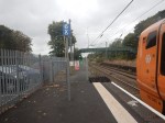
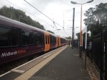
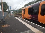
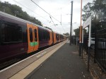
How Far North Is The Midland Main Line Being Electrified?
I asked Google AI this question and received this answer.
As of early 2026, the Midland Main Line (MML) is electrified as far north as Wigston, just south of Leicester.
- Northern Limit: The section from Kettering up to Wigston South Junction was energised in July 2024, representing the current northern limit of 25kV overhead line equipment (OLE).
- Pause in Further Electrification: Following a UK government spending review, the further, planned northward extension of electrification to Leicester, Derby, Nottingham, and Sheffield was indefinitely paused in July 2025.
- Current Operations: While electrification has stopped at Wigston, the line is served by new bi-mode (electro-diesel) trains, allowing for electric running from London St Pancras to Wigston before switching to diesel power.
- Previous Work: The line is also fully electrified from London St Pancras to Bedford, including the route to Corby.
Note.
- South Wigston Junction and Sheffield are 69.4 miles apart.
- The Hitachi trains can raise and lower pantographs on the move.
Distances without wires from London St. Pancras International to various destinations are as follows.
- Sheffield – 69.4 miles
- Leicester – 3.7 miles
- Derby – 36.4 miles
- Nottingham – 31.1 miles
As trains will have to go out and back to these destinations distances travelled will be doubled.
- Sheffield – 138.8 miles
- Leicester – 7.4 miles
- Derby – 72.8 miles
- Nottingham – 62.2 miles
It looks to me, that if the new Class 810 trains, can travel 138.8 miles on batteries and diesel engines as a tri-mode train, then the Midland Main Line is electrified.
Could The Sheffield Services Turn Round At Doncaster And Charge Their Batteries There?
Note.
- South Wigston Junction and Doncaster are 79.5 miles apart.
- Doncaster is a fully-electrified station.
- Sheffield and Doncaster would get two extra connecting trains per hour.
- The two services could also call at Meadowhall and/or Rotherham Central.
The Class 810 trains could charge their batteries, whilst passengers to and from Doncaster left and entered the trains.
Could A Simple Cross-Platform Change Be Arranged Between East Coast And Midland Main Line Services?
Doncaster station has two long island platforms, one of which is generally used for Northbound services and one for Southbound services.
Note.
- All electrified tracks are shown in red.
- The two wide island platforms, with Northbound on the West side and Southbound on the East side.
- Each island platform has an electrified platform face on both sides.
- The four platforms faces on the island platforms can hold pairs of five-car Hitachi trains.
- There are two through tracks or avoiding lines between the two island platforms for trains that aren’t stopping.
- There are bay platforms at the ends of the station for local trains.
- The station is fully step-free with a wide pedestrian underpass.
I know the station well and it looks to me, that East Midland Railway’s five-car services for St. Pancras could charge up in the Southern ends of the four faces of the island platforms and the two South-facing bay platforms.
I also believe that a pair of five-car Class 810 trains could be handled and charged, should it become necessary.
It looks to me, that the engineers updating the East Coast Main Line, know that they were caught out badly by High Speed Two, so the redesign for the next fifty or a hundred years will be completely future-proofed.
Doncaster and London could almost be considered to be twin main lines, with two pairs of high speed lines taking different routes, that serve different towns and cities.
How Many Travellers Go Between East Scotland And The North-East of England And The English Midlands?
It must be quite a few, as in the new East Coast Main Line timetable, more Scottish services stop at places like Doncaster and Newark.
But surely, if you could go between say Perth or Aberdeen and Derby or Nottingham in two battery-electric trains, with a relaxed change at Doncaster, you’d take it?
I certainly would!
East Coast And Midland Main Lines Compared
These are times between London and Doncaster.
- Current times between Doncaster and London are typically between 1 hour and 31-40 minutes going via the East Coast Main Line.
- I estimate times between Doncaster and London will be typically 2 hours and 22-27 minutes going via the Midland Main Line.
Note.
- Doncaster and London King’s Cross is 156 miles
- Doncaster and London St. Pancras International is 183.3 miles
- So the Midland Main Line route would appear to to be about 45 minutes slower.
- I suspect, that for passengers between between London and North of York, it will always be quicker to use an East Coast Main Line service.
These are times between London and Sheffield.
- Current times between Sheffield and London are typically between 2 hours and 4-9 minutes going via the Midland Main Line.
- I estimate times between Sheffield and London will be typically between 2 hours and 2 minutes going via the East Coast Main Line.
Note.
- Sheffield and London King’s Cross is via Retford.
- Sheffield and London King’s Cross is 162.1 miles
- Sheffield and London St. Pancras International is 183.3 miles
- Sheffield and Retford is 23.5 miles
- So the Midland Main Line route would appear to to be a few minutes slower.
I would feel that there is scope that under Great British Railways to optimise services between London and Doncaster and Sheffield.
The Master Cutler
The Master Cutler is a named train, that is described in this Wikipedia entry, that was introduced in 1947.
- Over its life it has run into both King’s Cross and St. Pancras.
- I can remember the train in the 1950s, running into King’s Cross.
- It has also been run to and from Leeds.
- It has been run as a Pullman service.
- There are reports of overcrowding in recent years.
It strikes me that the Master Cutler could do with a revamp.
- As St. Pancras can accept pairs of five-car Class 810 trains, ten-car trains could be run into King’s Cross or St. Pancras.
- An alternative would be to use a nine-car Hitachi Class 800/801 train.
- All trains would be battery electric.
- All trains would use the East Coast Main Line for a faster service.
- Services could terminate in the North at Leeds.
- The service could be run as a Pullman service.
- This article on Ian Visits, writes about East Coast Main Line trains using St. Pancras.
I would create a train service, that would attract passengers from all over the world.
Who knows?
If it was conceived in the right way, it might warrant a second service or similar service on other lines like these possibilities.
London and Blackpool via Crewe, Wigan and Preston.
- London and Aberystwyth via Birmingham and Shrewsbury.
- London and Bristol via Bath
- London and Fishguard via Cardiff and Swansea
- London and Holyhead via Birmingham and Chester
- London and Liverpool
- London and Manchester
- London and Newcastle via York and Durham
- London and Norwich via Colchester and Ipswich
- London and Plymouth via Exeter
Note.
- All routes could be run using electric or battery-electric trains.
- The Fishguard and Holyhead services would be zero-carbon routes to Ireland, connecting to appropriate zero-carbon ferries.
- Could services be arranged so that all parts of the country have at least one service in both directions every day?
- In the days of British Rail, London and Norwich had a very high-class service, that could serve a full English breakfast between Colchester and London, which certainly wasn’t like the regular joke.
Get the offering right and it could level-up the UK.
Is There A Plan To Increase The Capacity Of the Elizabeth Line?
On Sunday, when I came back from West Ealing station to Moorgate station on Sunday after taking the pictures, that I used in West Ealing Station – 1st February 2026, I was at the wrong end of the train for getting out at Moorgate.
So I had to walk from one end to the other of one of the most crowded Elizabeth Line trains, I’ve ever been on.
If it was as crowded as that on a Sunday morning, then it would appear, that the capacity of the line needs to be increased.
So I asked Google AI, the title of this post and received this reply.
Yes, there is a firm plan to increase the capacity of the Elizabeth line, driven by high demand and to support the future opening of the HS2 station at Old Oak Common. Transport for London is producing 10 new Class 345 trains to boost service, with expected delivery in 2026-2028.
But is 2026-2028 going to be early enough?
Treasures Found On HS2 Route Stored In Secret Warehouse
The title of this post is the same as that of this article on the BBC.
This is the sub-heading.
Treasures unearthed by hundreds of archaeologists during the ongoing construction of the controversial HS2 train line have been shown exclusively to the BBC.
These three paragraphs add detail to the story.
The 450,000 objects, which are being held in a secret warehouse, include a possible Roman gladiator’s tag, a hand axe that may be more than 40,000 years old and 19th Century gold dentures.
It is an “unprecedented” amount and array of items, which will yield new insights into Britain’s past, says the Centre for British Archaeology.
Major building developments in the UK need land to be assessed by archaeologists as part of the planning process, to protect heritage sites.
Crossrail also collected a lot of artefacts in an archaeology programme, that I wrote about in Bison to Bedlam or How To Make Friends.
Typing “TransPennine Route Archaeology” into Google AI gave this answer.
AI Overview
Archaeological investigations for the Trans-Pennine upgrades are split into two major, parallel projects: the A66 Northern Trans-Pennine road project and the Transpennine Route Upgrade (TRU) rail project. Both have revealed significant historical, archaeological, and industrial remains.
A66 Northern Trans-Pennine Upgrade (Road)
As part of the A66 upgrade between Penrith and Scotch Corner, Oxford Cotswold Archaeology (OCA) is conducting extensive excavations.
Key Finds: Archaeologists have identified prehistoric settlements, Neolithic stone axes, and evidence of a 60-meter-wide posthole structure.
Roman Discovery: A major Roman vicus (settlement) and the original Roman road have been uncovered, revealing a “grid of Roman field systems and ditches” near Brough.
Locations: Key sites include Brougham, Brough, Kirkby Thore, and Crackenthorpe.
Significance: These findings illustrate the area’s long-distance connection, trade, and culture from prehistoric through Roman times.
Transpennine Route Upgrade (Rail)
This project, involving Network Rail and ASWYAS (Archaeological Services WYAS), is upgrading the railway between Manchester, Huddersfield, Leeds, and York.
172-Year-Old Railway Siding: A mid-19th-century railway siding was uncovered at Hillhouse Sidings in Huddersfield, revealing two turntables and brick-built engine sheds.
Roman Settlement (Ravensthorpe): Excavations at Ravensthorpe (for a new station) uncovered a large, hexagonal-shaped feature thought to be an Iron Age or Roman-British enclosure, featuring ceramics, glass, and animal bones.
Mirfield Viaduct: An investigation of the Grade II-listed Mirfield Viaduct (built 1836-1839) was conducted to record its structure before upgrade works.It could be a very large exhibition in the North, if High Speed Two and the two Transpennine Route Upgrades were combined in a single exhibition.
I asked Google AI, what is the largest exhibition centre in Yorkshire and received this answer.
The largest exhibition sites in Yorkshire are concentrated in Harrogate, anchored by the Great Yorkshire Event Centre and the Harrogate Convention Centre. These venues offer a combined total of over 10,000 square meters of exhibition space, accommodating major national events, conferences, and large-scale outdoor exhibitions.
I suspect Leeds, Manchester and Sheffield could have other ideas.
Could Anglia Railways’ London Crosslink Be Recreated As Part Of The London Overground?
This is the first paragraph of the Wikipedia entry for the original London Crosslink.
London Crosslink was a passenger train service operated by Anglia Railways between Norwich and Basingstoke, using the North London Line to bypass central London. Class 170 Turbostar diesel multiple units were used, and the service operated between 22 May 2000 and 28 September 2002, supported by funding from the Strategic Rail Authority through its Rail Passenger Partnership fund.
Note.
- The service called at Diss, Stowmarket, Ipswich, Colchester, Whitham, Chelmsford, Ingatestone, Romford, Stratford, Highbury & Islington, Camden Road, Willesden Junction, West Hampstead Thameslink, Brentford, Feltham, Staines, Woking, and Farnborough (Main)
- It ran six times on Monday to Friday and five times on Sunday.
- Feltham and Woking stations have a coach link to Heathrow.
- Journeys took around 3 hours and 44 minutes.
Over the years, attractions and other rail lines and stations served by the route have changed. improved and been added.
- In 2006, the Arsenal’s Emirates Stadium opened within walking distance of Highbury & Islington station.
- In 2012, the Olympic Stadium opened at Stratford and is now used by West Ham United.
- In 2020, Brentford Stadium opened within walking distance of Brentford station.
- There are long-term plans for a station at Brentford stadium.
- In 2022, Romford and Stratford stations were connected to the Elizabeth Line.
- In 2025, Beaulieu Park station was added to the Greater Anglia Main Line.
- In 2026, both ends of the route came under the control of Great British Railways.
At some point in the future, Old Oak Common Lane station will open to link the route to High Speed Two, the Great Western Main Line and the Elizabeth Line.
In Can The Signalling Of The London Overground Be Improved?, I looked in detail at the signalling of the London Overground and if it could handle more trains.
My conclusion was that on the East and North London Lines, another three trains per hour (tph) could probably be accommodated, which over an average day was probably around sixty trains.
As a restored London Crosslink would need just six paths per day, I would suspect the service could be restored, if it were thought to be a good idea.
I certainly feel that capacity would not be a problem.
These are a few other thoughts.
Will There Be Political Problems?
Providing the London Mayor approves, I can’s see any problem with Labour and I can’t see other parties objecting if passengers like it.
Would It Be Sensible To Use Lumo Branding And Trains?
Consider.
- Lumo is trusted branding.
- A five-car Lumo Class 803 train is 132 metres long and a pair of four-car London Overground Class 710 trains is 166 metres long, so I suspect platform length problems will be minimal.
- I doubt there will be problems on the Greater Anglia network.
- Stratford and Norwich is mainly a 100 mph network.
- Not all parts of the route have 25 KVAC overhead electrification, but batteries can be fitted to the Class 803 trains, that will cover any gaps.
- My calculations show that the modern trains will be twenty-two minutes quicker, than Anglia Railways Class 170 diesel trains.
- At one point Anglia Railways was owned by First Group, so FirstGroup may have knowledge of the problems of the route.
I believe it would be sensible to use Lumo branding and trains.
Could The Route Be Extended?
Consider.
- It could probably be extended to Winchester, Southampton and Bournemouth in the South.
- If offshore hydrogen takes off at Great Yarmouth, it might be worth extending with a reverse to Yarmouth in the North.
- Yarmouth has had a direct service from London in the past.
The service could also develop days out by the sea.
Mega Airport Costing £24billion In Europe To Rival Heathrow And Dubai
The title of this post is the same as that of this article in the Daily Express.
A new mega airport is being built in Europe, and it is set to rival the likes of Dubai and London Heathrow in terms of size and capacity for passengers and planes alike
These three paragraphs add more details.
A plush new airport could be touching down in Europe, set to rival London’s Heathrow and even the esteemed Dubai International, as it aims to link the entire continent in unprecedented ways.
The Centralny Port Komunikacyjny, a proposed $32.5 billion project, is a fresh aviation gateway in Warsaw that carries the burden of Poland’s ambitious mega airport aspirations. However, the concept is swiftly progressing, with the official approval and handover of the passenger terminal design marking a significant leap forward.
This suggests the colossal airport is officially moving into its next phase of development. The question remains, will this new progression challenge the supremacy of the Middle East, home to both the world’s largest airport, King Fahd International Airport in Saudi Arabia, and the busiest, Dubai International Airport?
Note.
- In English, Centralny Port Komunikacyjny means Central Communications Port.
- CPK’s forecasted passenger capacity makes it a formidable contender as the new hub for Europe.
- Dubai is on course to handle 100 million passengers by the end of next year, thanks to its strategic geographical position with other continents, while the Polish project will eventually accommodate up to 44 million.
- n 2024, Heathrow Airport welcomed a record 83.9 million passengers, a 6% increase from the previous year.
Even the busiest airports in Europe handle far fewer passengers than Dubai.
Central Communications Port has a Wikipedia entry, which has this first paragraph.
The Central Transport Hub is a planned major infrastructure project in Poland aimed at the construction of a new international airport and the development of a nationwide integrated transport network. The airport is planned to be located approximately 40 kilometres (25 mi) southwest of Warsaw, connected to a new high-speed rail network and controlled-access highway system linking it with much of the rest of the country.
Note.
- The airport will be designed by Foster + Partners in collaboration with Buro Happold.
- Initially the airport is planned to have two runways, but will eventually be expanded to four.
- The combined airport and railway station is planned to serve 40 million passengers per year, double the size of Berlin Brandenburg Airport.
- The long-term goal is about 100 million passengers per year.
These are my thoughts.
The Airport’s Location
The Wikipedia entry for the airport has a section called Location, which has this first paragraph.
The airport’s planned site is about 40 km west of Warsaw, next to the village Stanisławów which is part of Gmina Baranów in Grodzisk Mazowiecki County. The Baranow commune occupies a significant part of the Grodzisk County and, despite its rural character, has an extensive road infrastructure. The A2 autostrada and railway lines run in the immediate vicinity of the potential construction site, and Wrocław (Expressway S8) and Poznań (National road 92) is nearby.
It sounds to me, that a British equivalent airport, would be a four-runway airport at Birmingham Airport with connections to the M1, M6, HS2 and the West Coast Main Line.
Rail Connections
The Wikipedia entry says this about rail connections.
Planned train connections from the CPK will take 15 minutes to Warsaw Central railway station, 25 minutes to Łódź Fabryczna railway station, and 2 hours to most other major Polish cities, such as Kraków, Wrocław, Poznań and Gdańsk. The construction of a high-speed train to Frankfurt (Oder) is also planned, which is to shorten the travel time on the Berlin-CPK route to under 3.5 hours
I suspect that Rail Baltica’s trains between Berlin and Helsinki via Warsaw, Kaunus, Riga, Bialystok and Tallinn will also stop at the airport.
The Airport Will Become A Gateway To North-East Europe
I wouldn’t be surprised to see Central Communications Port become a low-cost gateway to the surrounding countries., like Belarus, Estonia, Finland, Latvia, Lithuania and hopefully Ukraine.
Polish Hospitality
Consider.
- Most Poles speak English better, than what I does!
- There are several large Polish cities that are worth a visit.
- The food is excellent, as the local basic ingredients are of high quality.
- I have spent about a month in Poland and I’ve stayed in all levels of accommodation from the lowest to the highest and have never felt need to complain.
- They handle my gluten-free diet with no problem.
My experience of Belarus was also similar.
Midlands Rail Hub Looks To The Future With Preferred Alliance Partners
The title of this post, is the same as that of this press release from Network Rail.
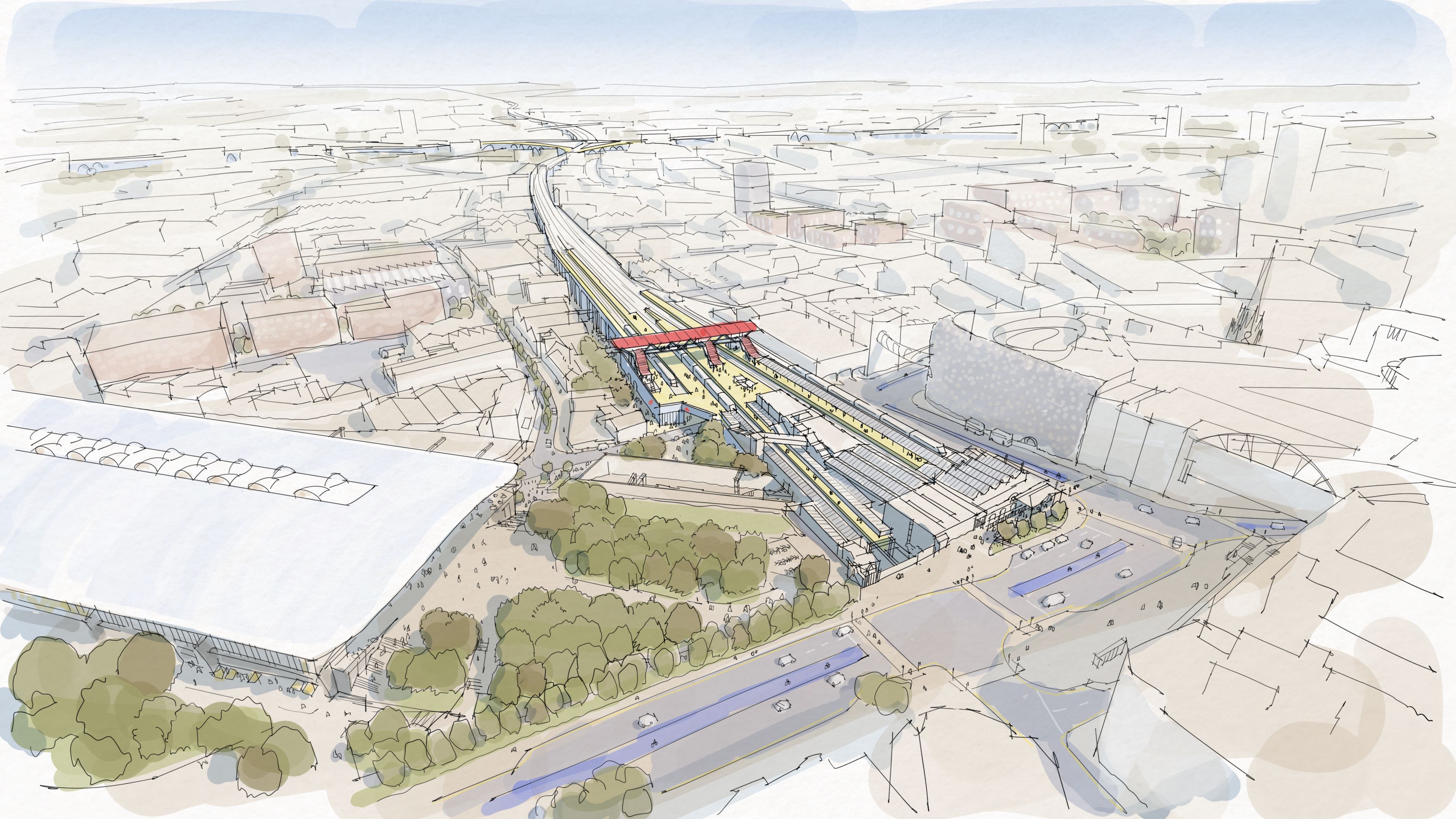
The press release has a spectacular picture, which I’m showing here.
Note.
- High Speed Two’s Curzon Street station is on the left.
- Birmingham Moor Street station is in the centre.
- There appears to be parkland between the two stations.
- Is that the West Midlands Metro running across in front of Moor Street station?
This OpenRailwayMap shows the railway lines in the area.
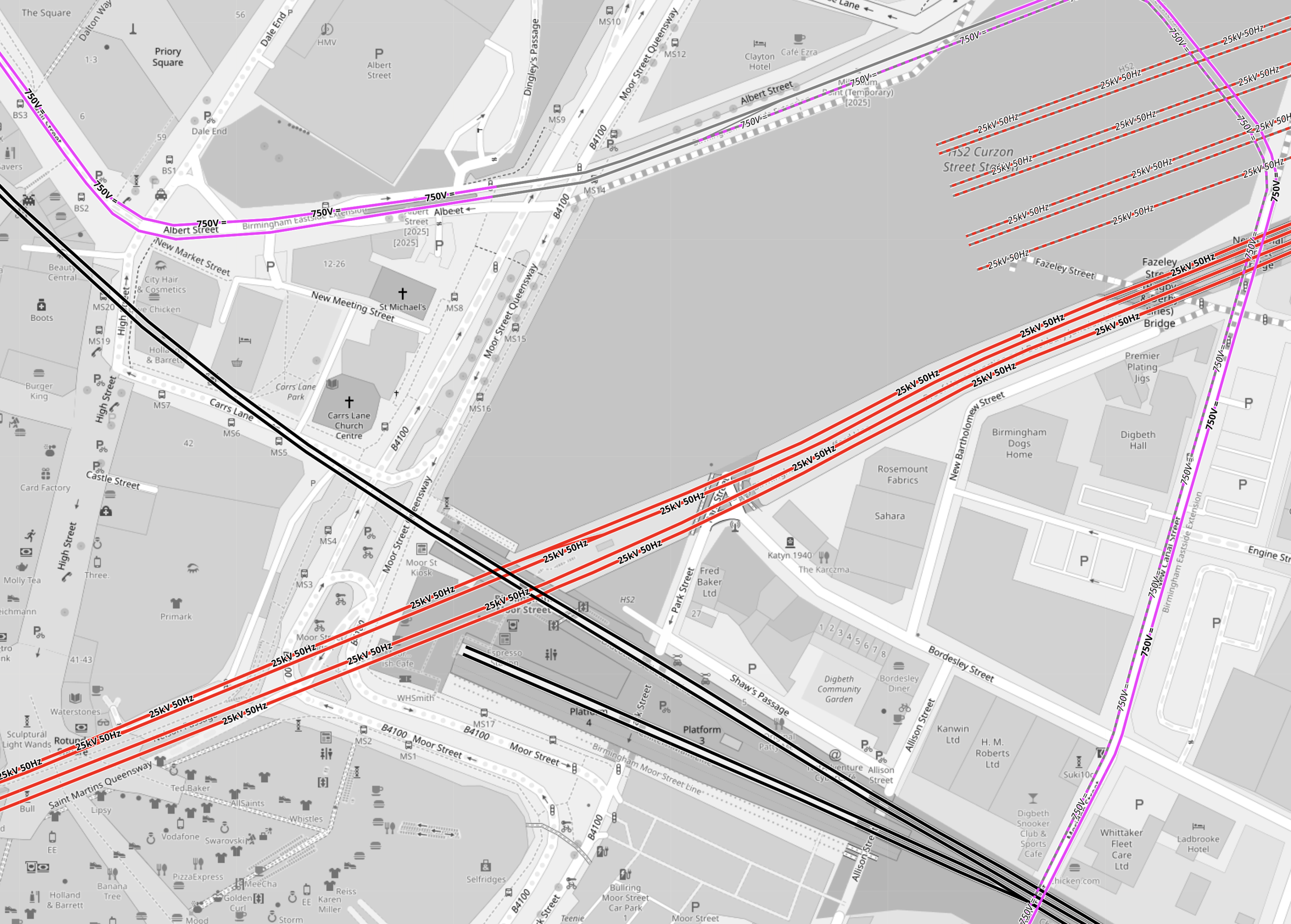
Note.
- Electrified tracks are shown in red.
- Tracks without electrification are shown in black.
- West Midlands Metro tracks are shown in mauve.
- The red tracks going diagonally across the map are the four electrified tracks going into Birmingham New Street station.
- Birmingham New Street station is off the map to the West.
- To the North of the tracks going into Birmingham New Street station, there are the seven platforms of High Speed Two’s Curzon Street station.
- The four platforms without electrification are shown South of the tracks into Birmingham New Street station.
- Two platforms at Birmingham Moor Street station are through platforms, that pass under Birmingham City Centre to Birmingham Snow Hill station.
- The other two platforms at Birmingham Moor Street station are bay platforms.
- The West Midlands Metro appears to take a loop around the stations.
But when you get into the words of the press release, there are a lot of vegetables and very little meat.
- The Midlands Rail Hub could cost around £1.75bn if delivered in full.
- The government’s recent spending review committed to progress the next stage of Midlands Rail Hub.
- Alongside this, planning is underway to begin to deliver two smaller but significant upgrades to benefit passengers as quickly as possible.
- The Alliance partners will be VolkerRail, Laing O’Rourke, AtkinsRéalis, Siemens Mobility, and Network Rail.
These four paragraphs indicate the work, that could be done.
The biggest change will be connecting the Chiltern main line, which runs into Moor Street, with the Camp Hill lines which run towards the South West and East Midlands via two new chords in Bordesley, near Birmingham city centre.
The transformation of the network will include running more train services on key routes through Birmingham and significantly improving connections for the millions of people who use the railway every day.
Work will be prioritised to explore how smaller, but vital, pieces of work which will provide passengers and communities with quicker benefits, including new journey options and more trains can be delivered as soon as possible.
They include reopening platform 4 at Snow Hill station so additional Chiltern Railways services can run directly between Birmingham’s business district and London Marylebone, and redeveloping Kings Norton station and the lines through it so extra Cross City trains can be added and new Midlands Rail Hub-enabled services can call there.
Three projects are specifically mentioned.
- The new chords in Bordesley.
- The reopening of platform 4 at Snow Hill station.
- The redeveloping of Kings Norton station.
I shall now look at each in detail.
The New Chords At Bordesley
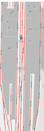
This OpenRailwayMap shows the tracks going into and around Birmingham Moor Street station.
Note.
- Electrified tracks are shown in red.
- Tracks without electrification are shown in black.
- West Midlands Metro tracks are shown in mauve.
- The red tracks going diagonally across the map are the four electrified tracks going into Birmingham New Street station.
- Birmingham New Street station is off the map to the West.
- To the North of the tracks going into Birmingham New Street station, there are the seven platforms of High Speed Two’s Curzon Street station.
- The black track running NW-SE is the Chiltern Main Line between London Marylebone and Birmingham Moor Street stations.
- Birmingham Moor Street station is indicated by the blue arrow in the North-West corner of the map.
- The black track running NE-SW is the Camp Hill Line, that allows services to cross Birmingham.
Two new chords will be built where the Chiltern Main and the Camp Hill Lines cross, to allow services on the Camp Hill Line to call at Birmingham Moor Street station.
Consider.
- The press release described these chords as the biggest change.
- The chords will probably not be fully used, until the new stations are built on the Camp Hill Line.
- There may be need for extra platforms at Birmingham Moor Street station to accommodate any new services.
For these reasons, I suspect that these chords could well be the project that is pushed back to a later date.
The Reopening Of Platform 4 At Snow Hill Station
This OpenRailwayMap shows the track layout at Birmingham Snow Hill station.
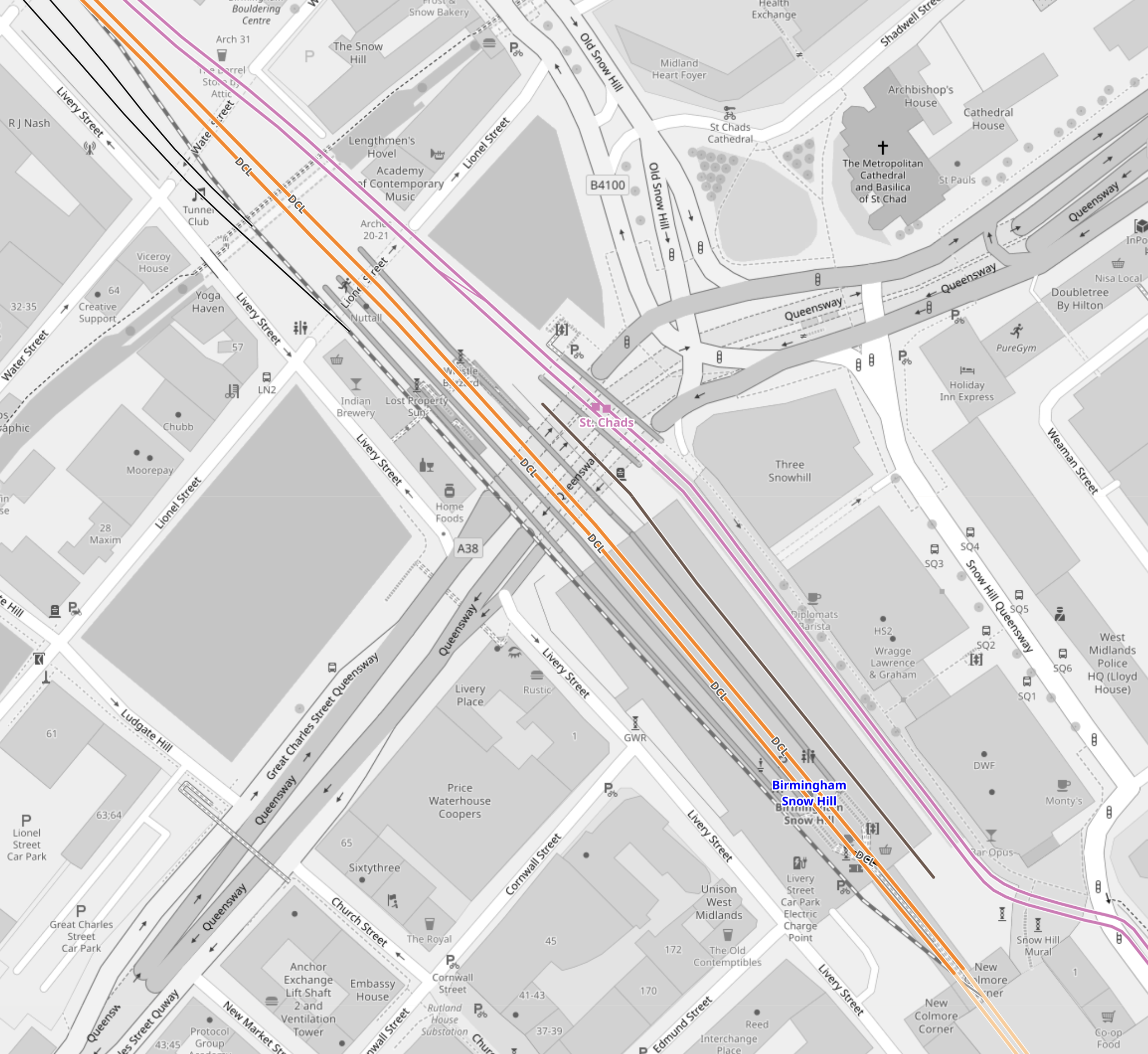
Note.
- The two lilac tracks are the West Midlands Metro.
- The two orange tracks are the two through tracks between Birmingham Moor Street and Stourbridge Junction stations.
- Platform 3 is the Southbound track to Birmingham Moor Street on the right.
- Platform 2 is the Northbound track to Stourbridge Junction on the left
- Platform 1 is a loop on left.
- Platforms 1, 2 and 3 are all bi-directional.
- The closed Platform 4 is on the right and is shown by the black track.
I would expect that this reopening could be fairly straightforward and may also have worthwhile benefits.
- Would an extra platform, allow all Chiltern services to serve both Birmingham Moor Street and Birmingham Show Hill stations?
- Chiltern would probably find it easy to extend services from Birmingham to the North-West of the city.
- In this century, services have run as far as Wrexham from Marylebone.
- If all Chiltern services terminated at Birmingham Show Hill station would this have operational and/or marketing advantages?
- If all Chiltern services terminated at Birmingham Show Hill station would this, make it easier for some passengers to get a train to London and the South?
- If all Chiltern services terminated at Birmingham Show Hill station would this release a platform at Birmingham Moor Street station for other services?
These are a few pictures of Birmingham Snow Hill station.
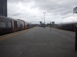
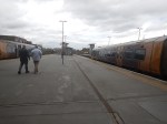

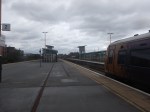


Platform 4 at Birmingham Snow Hill station could be a Build One Platform-Get One Free At Another Station situation!
The Redeveloping Of Kings Norton Station
This will probably be needed for running services on the Camp Hill Line, so why not get some of the work done early, so the rebuilding doesn’t effect existing services?
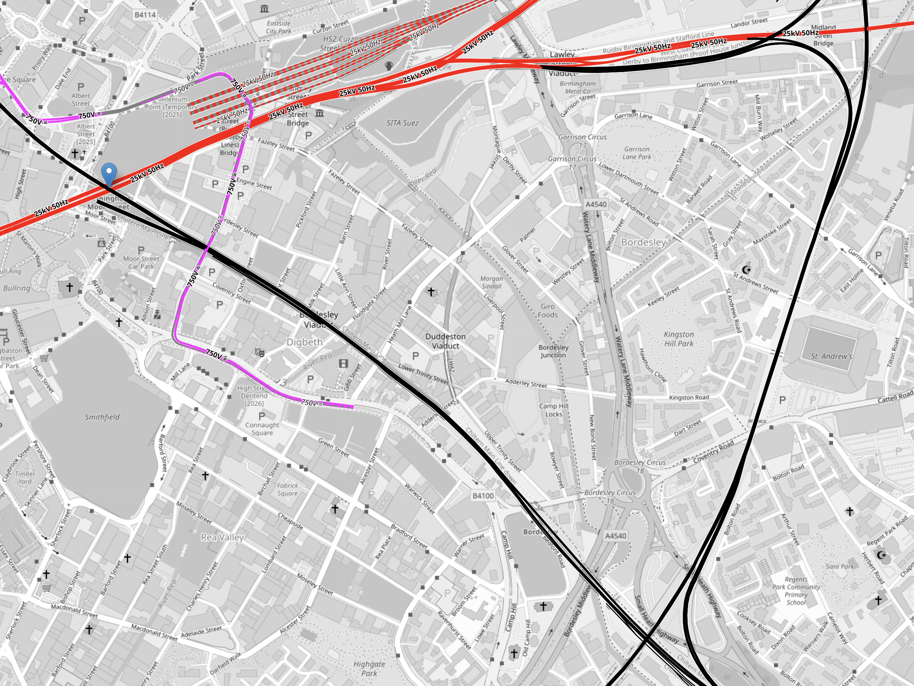
This OpenRailwayMap shows the Eastern end of Kings Norton station
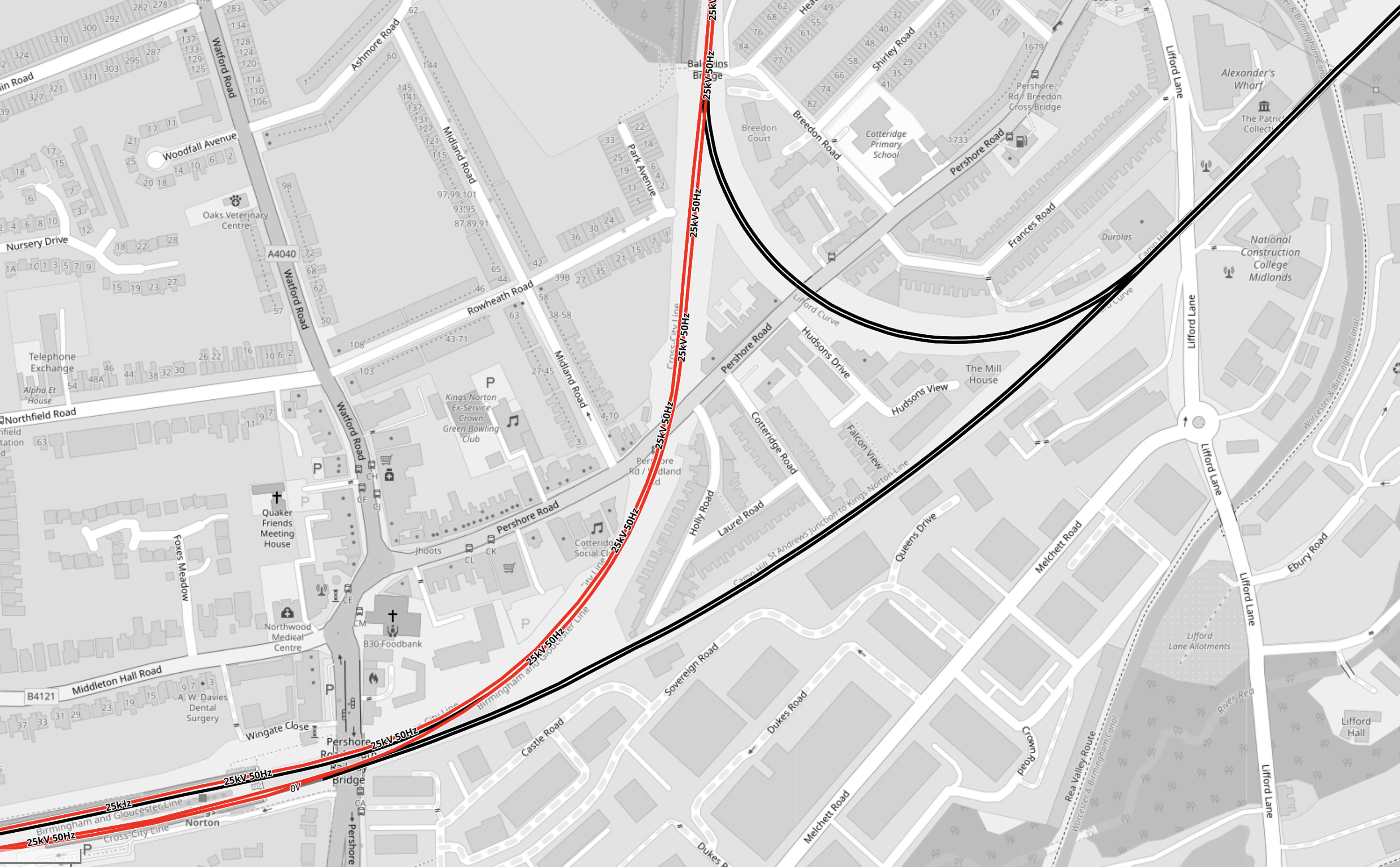
Note.
- Electrified tracks are shown in red.
- Tracks without electrification are shown in black.
- The station has four platforms, but some are unused.
- Two platforms are on an island, with a single platform on either side.
This OpenRailwayMap shows the Western end of Kings Norton station.
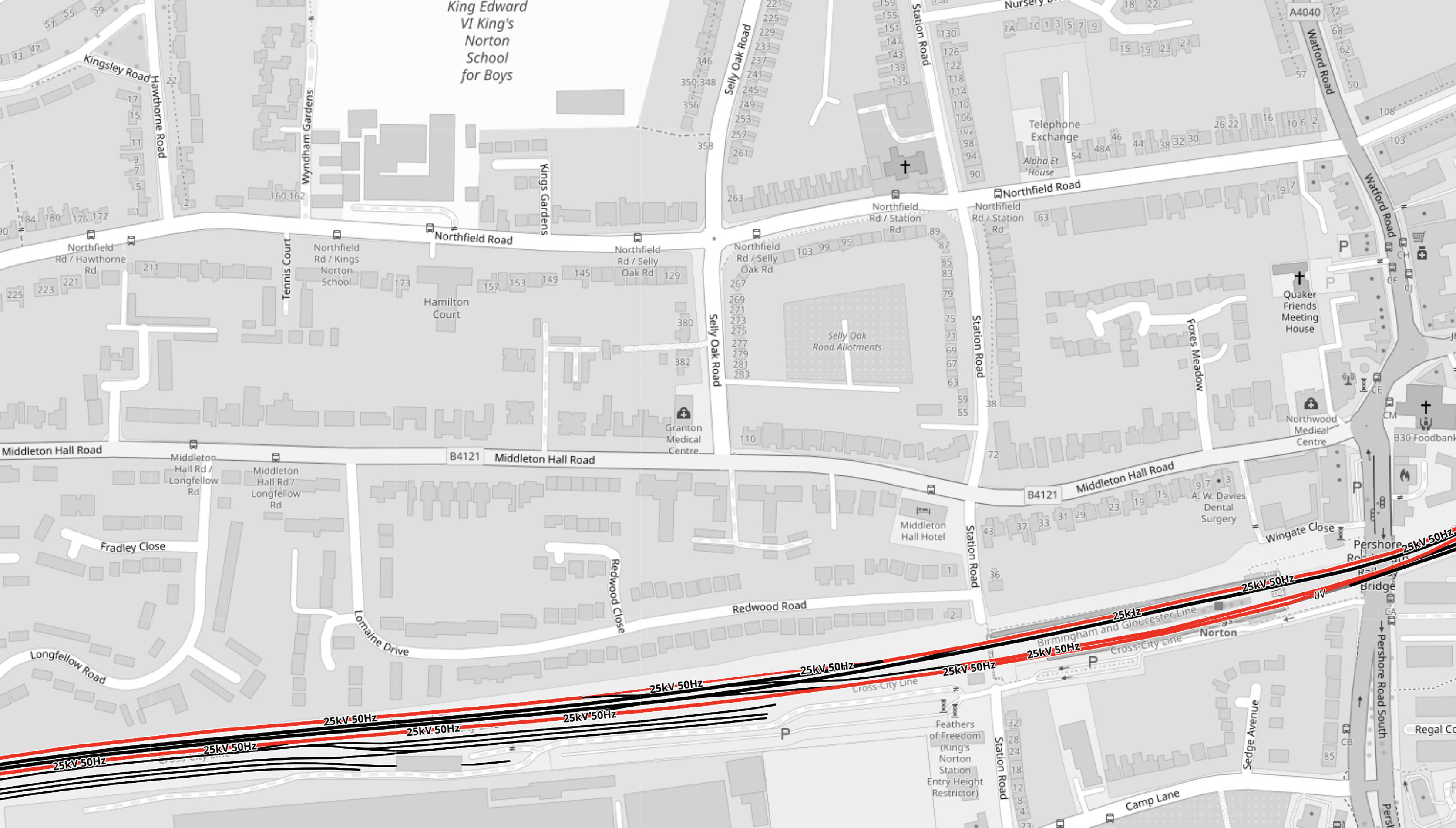
The notes to the previous map apply.
These two paragraphs from the Wikipedia entry for Kings Norton station, describe the station.
With the development of both bus and tram services, the need for such a large facility reduced from the 1930s onwards. The result is that today although all four platforms remain in place, only the outer two are in passenger use, with the middle island platforms now derelict.
Refurbished as part of the Cross-City line in 1978, it retained some of its original features following refurbishment, unlike the other ‘cross city line’ stations. The original station building survived, leased out for commercial purposes, until it was demolished in February 2006 for safety reasons. An extension car park provides a Park and Ride facility.
Disabled-access doesn’t seem to be the best either.
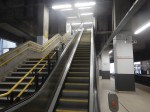
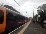
These pictures show the station.

Note.
- As I guessed, there is no disabled-access.
- But there are Braille markings on the handrails down to the platforms.
- Two CrossCountry trains are seen going through the station.
- The local Class 730 trains, lights and information screens appeared to be new.
- Three platforms are electrified, but the fourth is not.
- The electrification structure could probably be used to electrify the fourth platform.
- Only the two outside platforms ; 1 and 4 are in use, with the central island platforms ; 2 and 3 left derelict.
- There is car parking and possibly space for more.
- The two active platforms are 150 metres long and the six-car Class 730 trainstrains appear to be 144 metres long.
- The Class 220 trains, that are run by CrossCountry Trains appear to be 93 metres long.
It was one of the scruffiest stations, that I’ve ever seen.
These are my thoughts on the station.
Handling The Camp Hill Line
Refurbishing Kings Norton Station
I don’t feel, that this will be the most horrendous of jobs, as it is very much a job, where all the rubbish and wild forest is removed and new platforms and a bridge are built.
Completing Northern Powerhouse Rail
The Northern Powerhouse Rail/High Speed Two Connection To Manchester Airport Station
This OpenRailwayMap shows the rail connections that terminate at Manchester Airport station.
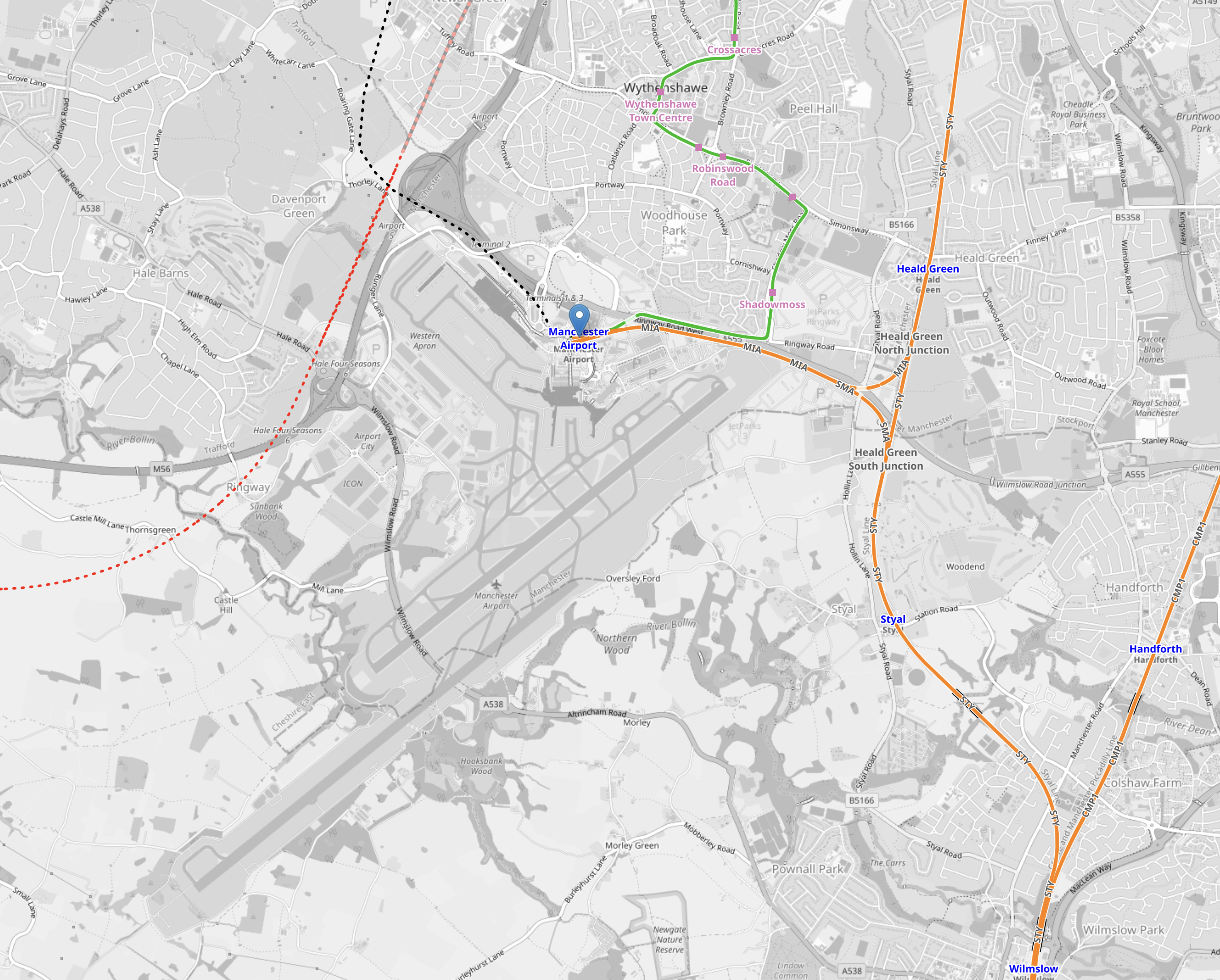
Note.
- The two runways are clearly shown.
- Manchester Airport station is indicated by the blue arrow near the top of the map.
- The orange tracks are rail lines.
- The green lines are Manchester Metrolink tracks.
- Rail and tram services approach the airport station from the East.
- The red dotted line is the current proposed path of Northern Powerhouse Rail/High Speed Two
- The black dotted line appears to be an extension of the tram line to the airport.
This second OpenRailwayMap shows the lines around the airport station to a larger scale.
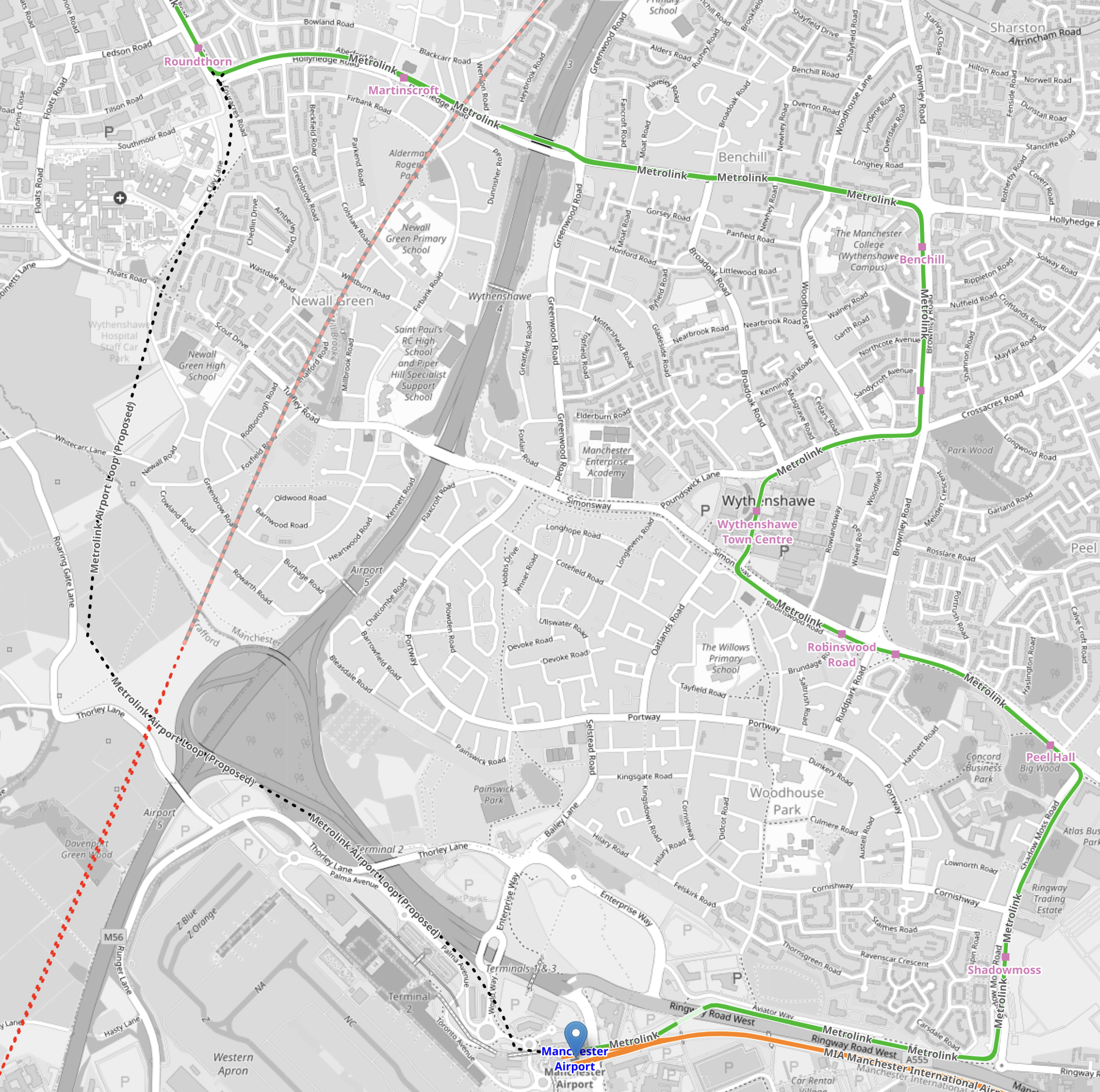
Note.
- Manchester Airport station is indicated by the blue arrow at the bottom of the map.
- The orange tracks are rail lines.
- The green lines are Manchester Metrolink tracks.
- The red dotted line is the current proposed path of Northern Powerhouse Rail/High Speed Two.
- The Manchester Metrolink now makes a loop around the Airport.
I think the following will happen.
- A large proportion of passengers and staff travelling between Manchester Airport and Manchester City Centre will use Northern Powerhouse Rail/High Speed Two.
- Passengers and staff, who live locally will use the Manchester Metro loop.
- Northern Powerhouse Rail/High Speed Two will replace some of the current train services.
- Some services on the Castlefield Corridor will migrate to Northern Powerhouse Rail/High Speed Two.
There could be as many as twelve trains per hour (tph) between Manchester Airport and Manchester City Centre on Northern Powerhouse Rail/High Speed Two. But a new urban line like that, which was mostly in a tunnel could probably handle 20 tph.
Manchester Airport And Crewe
This OpenRailwayMap shows the railways between Manchester Airport and Crewe stations.
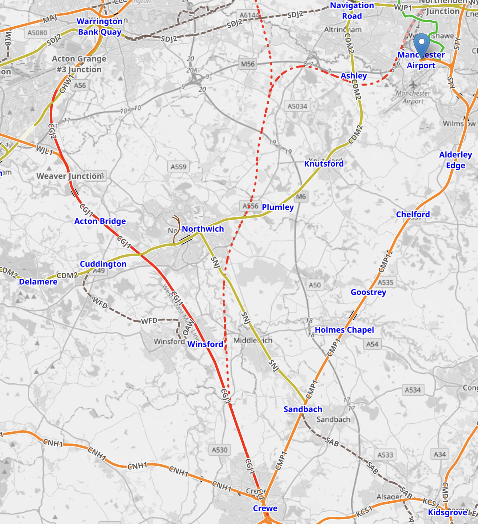
Note.
- Manchester Airport station is indicated by the blue arrow at the top of the map.
- The orange tracks are rail lines.
- The red track going down the left hand side of the map is the West Coast Main Line.
- The green lines are Manchester Metrolink tracks.
- The red dotted line is the current proposed path of Northern Powerhouse Rail/High Speed Two.
- Crewe station is at the bottom of the map in the middle.
There could be as many as 12 tph between Manchester Airport and Crewe.
Manchester Airport And Manchester Piccadilly
This OpenRailwayMap shows the railways between Manchester Airport and Manchester Piccadilly stations.
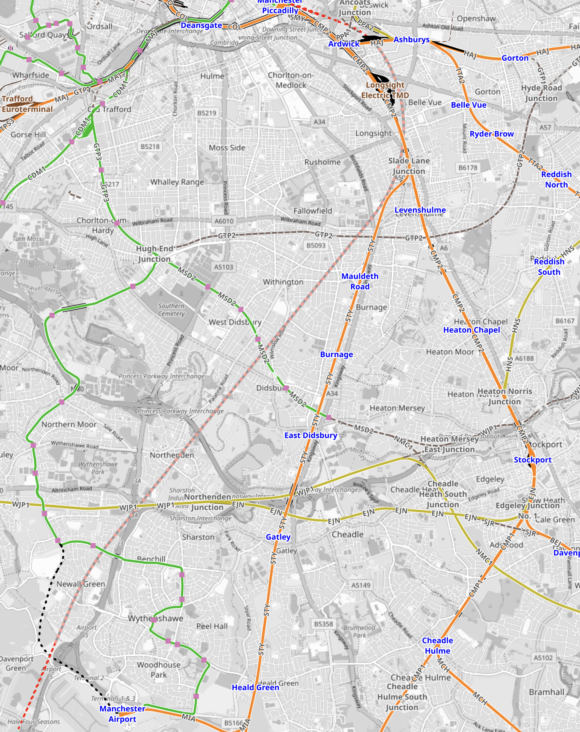
Note.
- Manchester Airport station is in the South-West corner of the map.
- The orange tracks are existing rail lines.
- The green lines are Manchester Metrolink tracks.
- The red dotted line going up the middle of the map is the current proposed path of Northern Powerhouse Rail/High Speed Two.
- Manchester Piccadilly station is at the Northern end of Northern Powerhouse Rail/High Speed Two.
This OpenRailwayMap shows the City Centre between Manchester Piccadilly and Manchester Victoria stations.
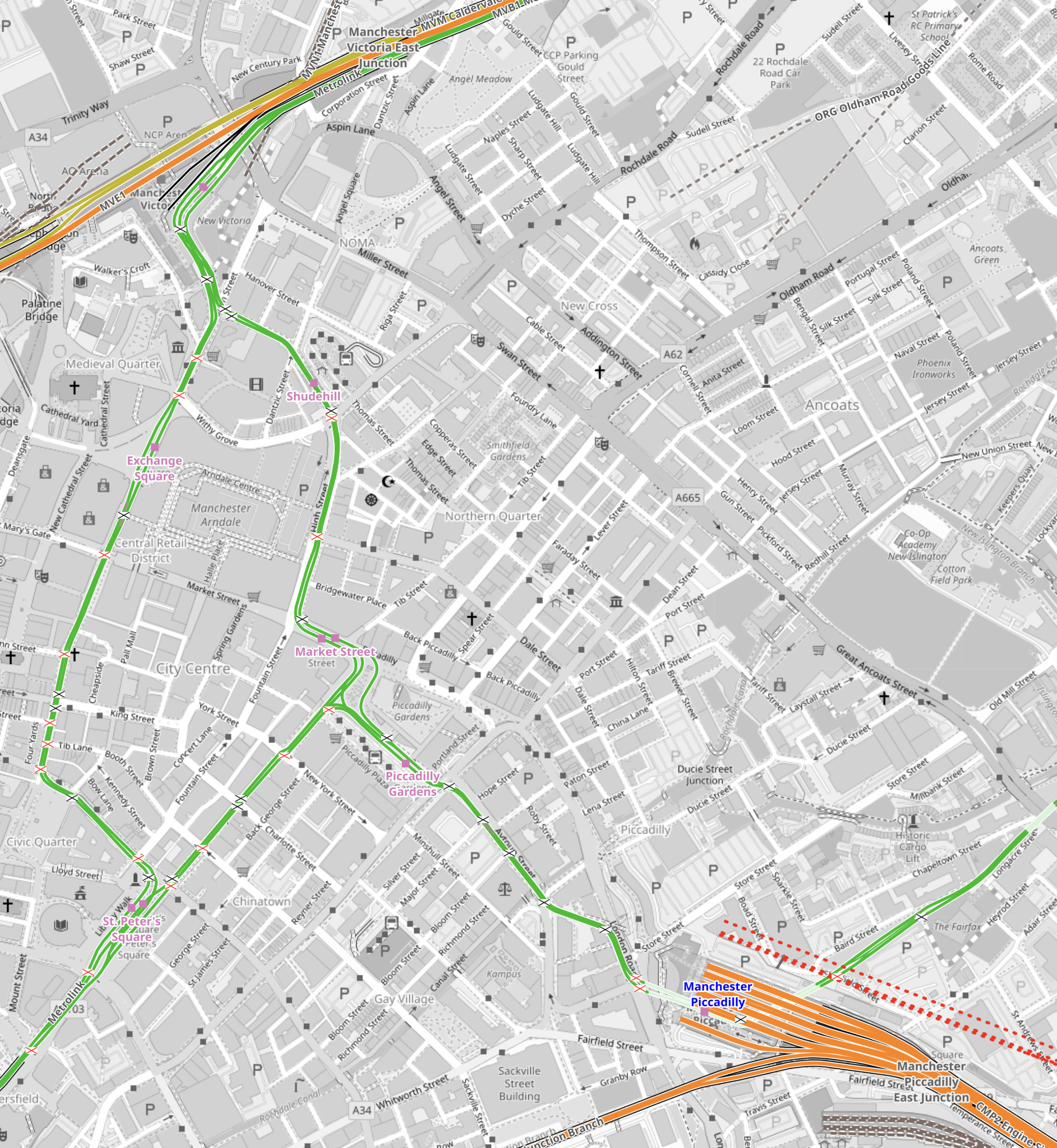
Note.
- Manchester Piccadilly station is in the South-East corner of the map.
- The red dotted lines creeping into the map is the current proposed path of Northern Powerhouse Rail/High Speed Two.
- All the platforms in Manchester Piccadilly station can be picked out, with the Castlefield Corridor breaking away to the West.
- The current plans will need demolition of buildings to the North of Manchester Piccadilly station.
- Manchester Victoria station is in the North-West corner of the map.
- The green line of the Manchester Metrolink route picks out the walking route between Manchester’s two main stations.
- About halfway between Manchester Piccadilly and Manchester Victoria stations is the open space of Piccadilly Gardens.
This Google Map shows Piccadilly Gardens.
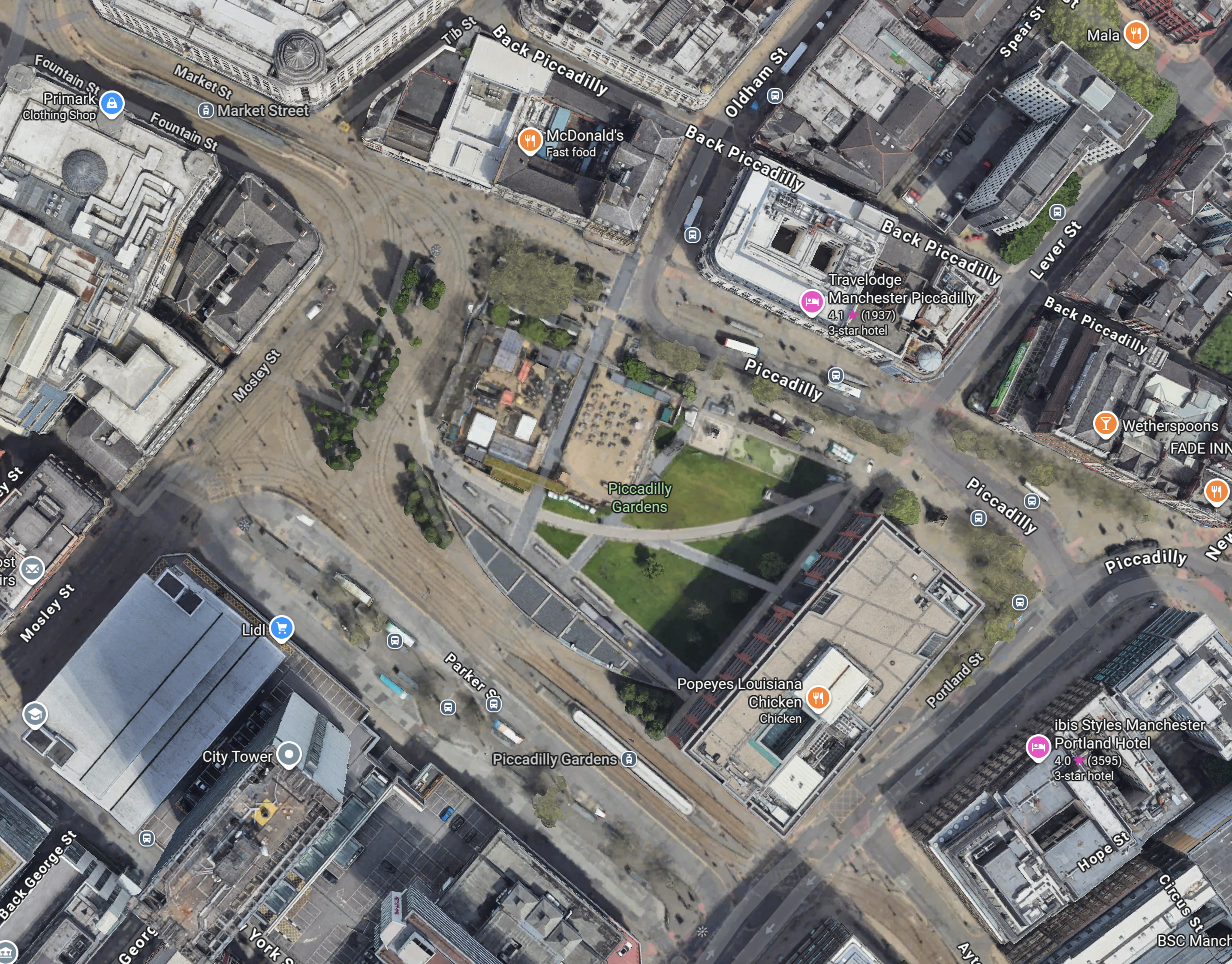
Note.
- The Manchester Metrolink running through.
- There are two Metrolink stops ; Market Street and Piccadilly Gardens, in the area.
- It appears any stop on the Manchester Metrolink can be reached with no more than a single change from one of these two stops.
Looking at the map showing Victoria and Piccadilly stations, I wonder, if a Lizzie Line of the North could be built under Manchester City Centre.
- There would be underground platforms at Piccadilly station, with two through platforms and two to terminate trains from the South.
- Local services from Piccadilly station could continue as now, although services to Manchester Airport could be simplified.
- There would be an underground station at Piccadilly Gardens with two through platforms , to connect with an expanded Manchester Metrolink, buses and walking routes.
- There would be underground platforms at Victoria station, with two through platforms and two to terminate trains from the East.
- Local services from Victoria could continue as now.
- There could be as many as 12 tph between Manchester Victoria, Piccadilly Gardens, Manchester Piccadilly and Manchester Airport.
Just as the Lizzie Line was slotted into London, with the minimum of disruption, I am fairly certain, a similar but smaller construction process could be carried out in Manchester City Centre.
- Manchester doesn’t have an Underground to avoid.
- The stations could be very similar to each other and like Custom House station on the Lizzie Line, they could be built with giant concrete Lego.
- There would only be four stations to create.
- The tunnel would be about fifteen miles at most.
- The tunnel would not need to be electrified as the trains could run on batteries.
As a Manchester Rail Tunnel has been talked about for decades, I suspect there is a big knowledge base of ground conditions, which would help with the design and construction.
Between Manchester Victoria And Leeds
Consider.
- The electrification between Manchester Victoria and Stalybridge stations has recently been switched on.
- Part of the electrification between Leeds and York stations has been switched on.
- Full electrification is being installed between Leeds and Manchester Victoria stations.
This OpenRailwayMap shows the Huddersfield Line between Manchester Victoria station and a few miles short of Huddersfield station.
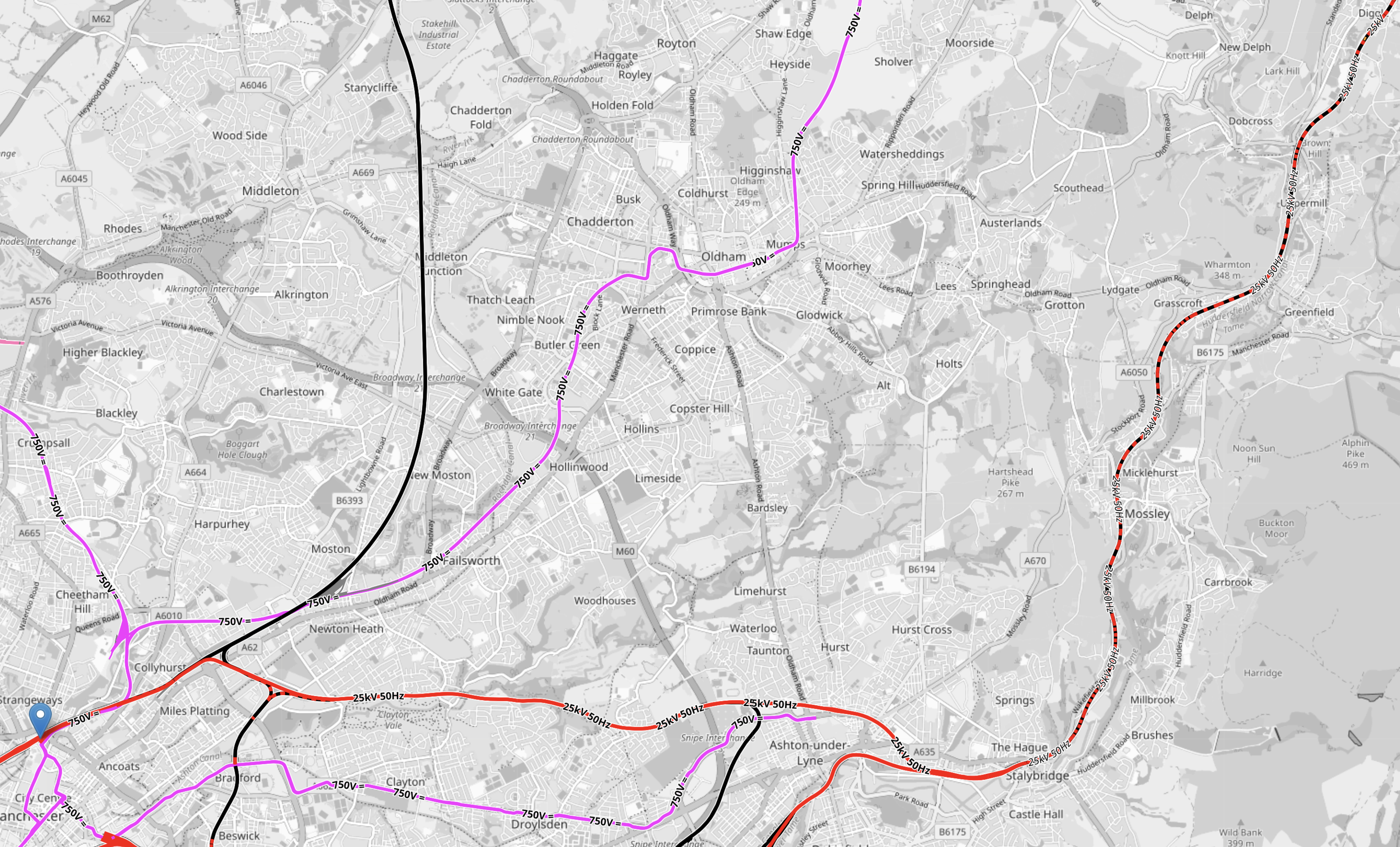
Note.
- Manchester Victoria station is indicated by the blue arrow in the South-West corner of the map.
- Huddersfield station is just off the map in the North-East corner.
- Manchester Victoria and Stalybridge stations is fully electrified and shown in red.
- Stalybridge and Huddersfield stations is being electrified and is shown as black and red dotted.
- Electrification between Huddersfield and Leeds is underway under the TransPennine Upgrade.
This section will be completed, when the Manchester City Centre Rail Tunnel is connected to the Huddersfield Line.
Connecting The Manchester City Centre Rail Tunnel To The Huddersfield Line
This Google Map shows where the Huddersfield Line crosses the M60 Motorway to the West of Ashton-under-Lyme.

Note.
- The newly-electrified Huddersfield Line runs across the map.
- The M60 Motorway is on the left.
- There are facilities for athletics, cricket and football.
I wouldn’t be surprised if the Eastern portal of the Manchester City Centre Rail Tunnel was in this area.
But looking at Google Maps between this site and Manchester Victoria, there are other sites.
Conclusion
I now feel that it is possible to create a Northern Powerhouse Rail/High Speed Two route using a tunnel under Manchester.
Obviously, there is more work to be done.
