RWE Acquires 4.2-Gigawatt UK Offshore Wind Development Portfolio From Vattenfall
The title of this post, is the same as that of this press release from RWE.
These three bullet points, act as sub-headings.
- Highly attractive portfolio of three projects at a late stage of development, with grid connections and permits secured, as well as advanced procurement of key components
- Delivery of the three Norfolk Offshore Wind Zone projects off the UK’s East Anglia coast will be part of RWE’s Growing Green investment and growth plans
- Agreed purchase price corresponds to an enterprise value of £963 million
These two paragraphs outline the deal.
RWE, one of the world’s leading offshore wind companies, will acquire the UK Norfolk Offshore Wind Zone portfolio from Vattenfall. The portfolio comprises three offshore wind development projects off the east coast of England – Norfolk Vanguard West, Norfolk Vanguard East and Norfolk Boreas.
The three projects, each with a planned capacity of 1.4 gigawatts (GW), are located 50 to 80 kilometres off the coast of Norfolk in East Anglia. This area is one of the world’s largest and most attractive areas for offshore wind. After 13 years of development, the three development projects have already secured seabed rights, grid connections, Development Consent Orders and all other key permits. The Norfolk Vanguard West and Norfolk Vanguard East projects are most advanced, having secured the procurement of most key components. The next milestone in the development of these two projects is to secure a Contract for Difference (CfD) in one of the upcoming auction rounds. RWE will resume the development of the Norfolk Boreas project, which was previously halted. All three Norfolk projects are expected to be commissioned in this decade.
There is also this handy map, which shows the location of the wind farms.
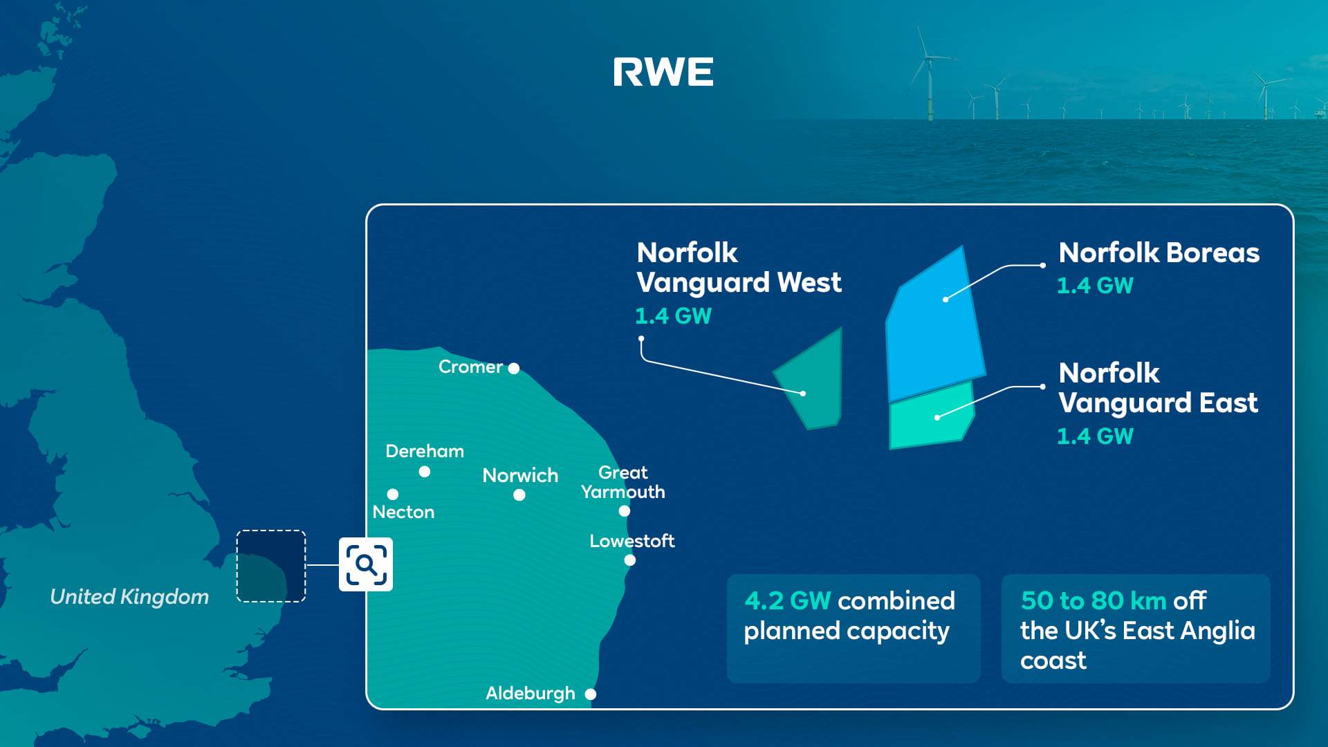
Note that there are a series of assets along the East Anglian coast, that will be useful to RWE’s Norfolk Zone development.
- In Vattenfall Selects Norfolk Offshore Wind Zone O&M Base, I talked about how the Port of Great Yarmouth will be the operational base for the Norfolk Zone wind farms.
- Bacton gas terminal has gas interconnectors to Belgium and the Netherlands lies between Cromer and Great Yarmouth.
- The cable to the Norfolk Zone wind farms is planned to make landfall between Bacton and Great Yarmouth.
- Sizewell is South of Lowestoft and has the 1.25 GW Sizewell B nuclear power station, with the 3.2 GW Sizewell C on its way, for more than adequate backup.
- Dotted around the Norfolk and Suffolk coast are 3.3 GW of earlier generations of wind farms, of which 1.2 GW have connections to RWE.
- The LionLink multipurpose 1.8 GW interconnector will make landfall to the North of Southwold
- There is also the East Anglian Array, which currently looks to be about 3.6 GW, that connects to the shore at Bawdsey to the South of Aldeburgh.
- For recreation, there’s Southwold.
- I can also see more wind farms squeezed in along the coast. For example, according to Wikipedia, the East Anglian Array could be increased in size to 7.2 GW.
It appears that a 15.5 GW hybrid wind/nuclear power station is being created on the North-Eastern coast of East Anglia.
The big problem is that East Anglia doesn’t really have any large use for electricity.
But the other large asset in the area is the sea.
- Undersea interconnectors can be built to other locations, like London or Europe, where there is a much greater need for electricity.
- In addition, the UK Government has backed a consortium, who have the idea of storing energy by using pressurised sea-water in 3D-printed concrete hemispheres under the sea. I wrote about this development in UK Cleantech Consortium Awarded Funding For Energy Storage Technology Integrated With Floating Wind.
A proportion of Russian gas in Europe, will have been replaced by Norfolk wind power and hydrogen, which will be given a high level of reliability from Suffolk nuclear power.
I have some other thoughts.
Would Hydrogen Be Easier To Distribute From Norfolk?
A GW-range electrolyser would be feasible but expensive and it would be a substantial piece of infrastructure.
I also feel, that placed next to Bacton or even offshore, there would not be too many objections from the Norfolk Nimbys.
Hydrogen could be distributed from the site in one of these ways.
- By road transport, as ICI did, when I worked in their hydrogen plant at Runcorn.
- I suspect, a rail link could be arranged, if there was a will.
- By tanker from the Port of Great Yarmouth.
- By existing gas interconnectors to Belgium and the Netherlands.
As a last resort it could be blended into the natural gas pipeline at Bacton.
In Major Boost For Hydrogen As UK Unlocks New Investment And Jobs, I talked about using the gas grid as an offtaker of last resort. Any spare hydrogen would be fed into the gas network, provided safety criteria weren’t breached.
I remember a tale from ICI, who from their refinery got a substantial amount of petrol, which was sold to independent petrol retailers around the North of England.
But sometimes they had a problem, in that the refinery produced a lot more 5-star petrol than 2-star. So sometimes if you bought 2-star, you were getting 5-star.
On occasions, it was rumoured that other legal hydrocarbons were disposed of in the petrol. I was once told that it was discussed that used diluent oil from polypropylene plants could be disposed of in this way. But in the end it wasn’t!
If hydrogen were to be used to distribute all or some of the energy, there would be less need for pylons to march across Norfolk.
Could A Rail Connection Be Built To The Bacton Gas Terminal
This Google Map shows the area between North Walsham and the coast.
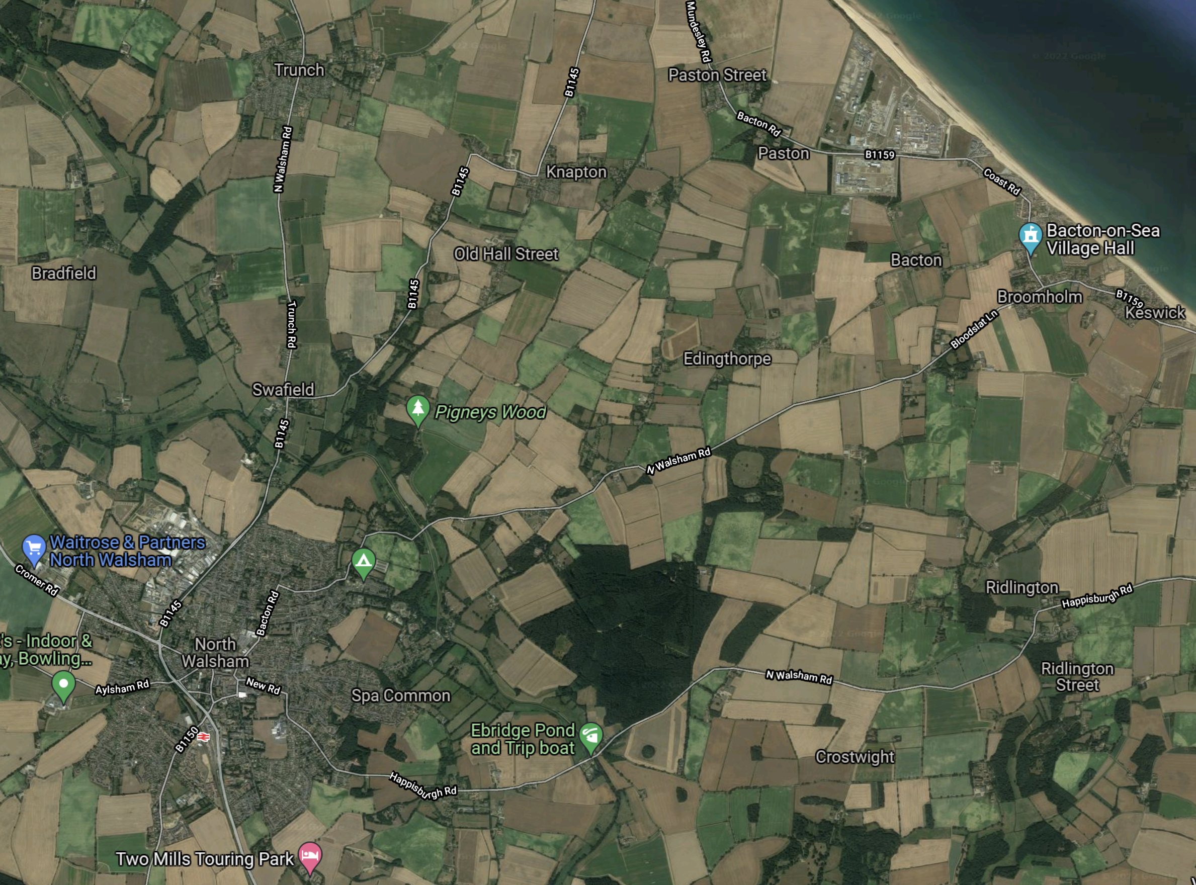
Note.
- North Walsham is in the South-Western corner of the map.
- North Walsham station on the Bittern Line is indicated by the red icon.
- The Bacton gas terminal is the trapezoidal-shaped area on the coast, at the top of the map.
ThisOpenRailwayMap shows the current and former rail lines in the same area as the previous Google Map.

Note.
- North Walsham station is in the South-West corner of the map.
- The yellow track going through North Walsham station is the Bittern Line to Cromer and Sheringham.
- The Bacton gas terminal is on the coast in the North-East corner of the map.
I believe it would be possible to build a small rail terminal in the area with a short pipeline connection to Bacton, so that hydrogen could be distributed by train.
There used to be a branch line from North Walsham station to Cromer Beach station, that closed in 1953.
Until 1964 it was possible to get trains to Mundesley-on-Sea station.
So would it be possible to build a rail spur to the Bacton gas terminal along the old branch line?
In the Wikipedia entry for the Bittern Line this is said.
The line is also used by freight trains which are operated by GB Railfreight. Some trains carry gas condensate from a terminal at North Walsham to Harwich International Port.
The rail spur could have four main uses.
- Taking passengers to and from Mundesley-on-Sea and Bacton.
- Collecting gas condensate from the Bacton gas terminal.
- Collecting hydrogen from the Bacton gas terminal.
- Bringing in heavy equipment for the Bacton gas terminal.
It looks like another case of one of Dr. Beeching’s closures coming back to take a large chunk out of rail efficiency.
Claire Coutinho And Robert Habeck’s Tete-a-Tete
I wrote about their meeting in Downing Street in UK And Germany Boost Offshore Renewables Ties.
- Did Habeck run the RWE/Vattenfall deal past Coutinho to see it was acceptable to the UK Government?
- Did Coutinho lobby for SeAH to get the contract for the monopile foundations for the Norfolk Zone wind farms?
- Did Coutinho have a word for other British suppliers like iTMPower.
Note.
- I think we’d have heard and/or the deal wouldn’t have happened, if there had been any objections to it from the UK Government.
- In SeAH To Deliver Monopiles For Vattenfall’s 2.8 GW Norfolk Vanguard Offshore Wind Project, I detailed how SeAH have got the important first contract they needed.
So it appears so far so good.
Rackheath Station And Eco-Town
According to the Wikipedia entry for the Bittern Line, there are also plans for a new station at Rackheath to serve a new eco-town.
This is said.
A new station is proposed as part of the Rackheath eco-town. The building of the town may also mean a short freight spur being built to transport fuel to fire an on-site power station. The plans for the settlement received approval from the government in 2009.
The eco-town has a Wikipedia entry, which has a large map and a lot of useful information.
But the development does seem to have been ensnared in the planning process by the Norfolk Nimbys.
The Wikipedia entry for the Rackheath eco-town says this about the rail arrangements for the new development.
The current rail service does not allow room for an extra station to be added to the line, due to the length of single track along the line and the current signalling network. The current service at Salhouse is only hourly during peak hours and two-hourly during off-peak hours, as not all trains are able to stop due to these problems. Fitting additional trains to this very tight network would not be possible without disrupting the entire network, as the length of the service would increase, missing the connections to the mainline services. This would mean that a new 15-minute shuttle service between Norwich and Rackheath would have to be created; however, this would interrupt the main service and cause additional platforming problems. Finding extra trains to run this service and finding extra space on the platforms at Norwich railway station to house these extra trains poses additional problems, as during peak hours all platforms are currently used.
In addition, the plans to the site show that both the existing and the new rail station, which is being built 300m away from the existing station, will remain open.
. As the trains cannot stop at both stations, changing between the two services would be difficult and confusing, as this would involve changing stations.
I feel that this eco-town is unlikely to go ahead.
Did RWE Buy Vattenfall’s Norfolk Zone To Create Green Hydrogen For Europe?
Consider.
- Vattenfall’s Norfolk Zone is a 4.2 GW group of wind farms, which have all the requisite permissions and are shovel ready.
- Bacton Gas terminal has gas pipelines to Europe.
- Sizewell’s nuclear power stations will add security of supply.
- Extra wind farms could be added to the Norfolk Zone.
- Europe and especially Germany has a massive need for zero-carbon energy.
The only extra infrastructure needing to be built is the giant electrolyser.
I wouldn’t be surprised if RWE built a large electrolyser to supply Europe with hydrogen.
London Overground: Design Work For West London Orbital Route Begins
The title of this post, is the same as that as this article on the BBC.
This is the sub-heading.
Plans for a new London Overground link in west London are progressing, London’s mayor Sadiq Khan has said.
These paragraphs outline what will happen.
Engineering consultants who worked on the Elizabeth line have been chosen for the West London Orbital service.
“This engineering design will help determine the cost of delivering the scheme, which is currently unfunded,” Transport for London (TfL) said.
It hopes the scheme, which would connect Hounslow with Hendon and West Hampstead, could start next decade.
My feeling, is that they should get on with it.
- There would be no major construction like tunnels.
- Four stations would need to be built.
- I doubt there will be any demolition.
- It wouldn’t need more electrification, as the route is electrified at both ends and battery-electric trains could be used.
- It would create more connections to Old Oak Common for High Speed Two.
But if it does for North West London, what the Overground has done for North and East London, it will be very much worth it.
These are a few thoughts and observations.
The Route
This is a schematic of the route from the BBC article.
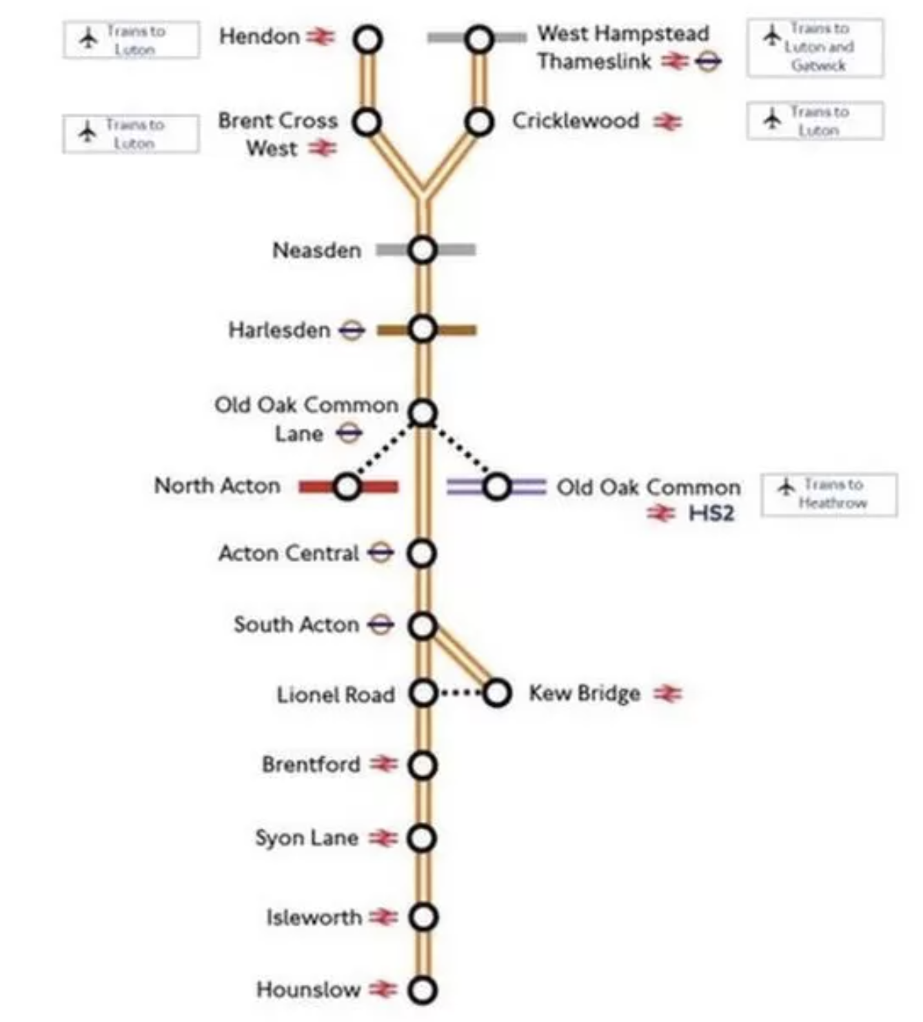
Note.
- Services will be between West Hampstead Thameslink and Hounslow stations and between Hendon and Kew Bridge stations.
- If services follow the London Overground frequency, they will be four trains per hour (tph).
- The new stations are Neasden, Harlesden, Old Oak Common Lane and Lionel Road.
- Acton Central, Brentford, South Acton, Syon Lane and West Hampstead Thameslink are step-free and Isleworth is on the way.
- The fully step-free Brent Cross West station will open soon.
- Lionel Road station will serve the new Brentford stadium.
- Old Oak Common Lane will serve High Speed Two, the Elizabeth Line and the North London Line.
They look to be a useful set of stations.
Kew Bridge Station
There’s been a lot of development at Kew Bridge station, since I was last there.

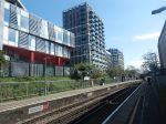
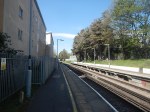

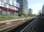
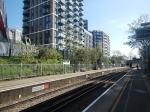
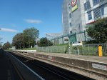
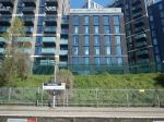
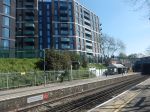
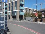

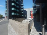
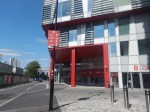
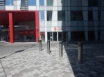
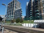
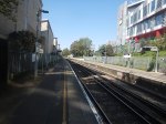
There are lots of flats and Brentford’s new stadium.
I suspect all the stations between Kew Bridge and Hounslow will see similar levels of development.
Electrification Issues On The Dudding Hill Line
The Dudding Hill Line forms the Northern section of the route between the Midland Main Line and the North London Line at Acton Wells Junction.
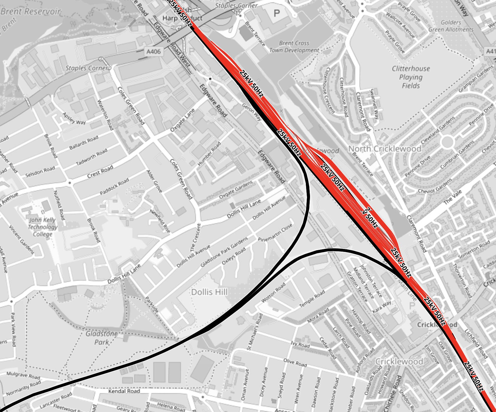
This map from OpenRailwayMap shows the junction between the Dudding Hill and Midland Main Lines.
Note.
- The Midland Main Line is shown in red as it is electrified with 25 KVAC overhead wires.
- The Dudding Hill Line is shown in black, as it isn’t electrified.
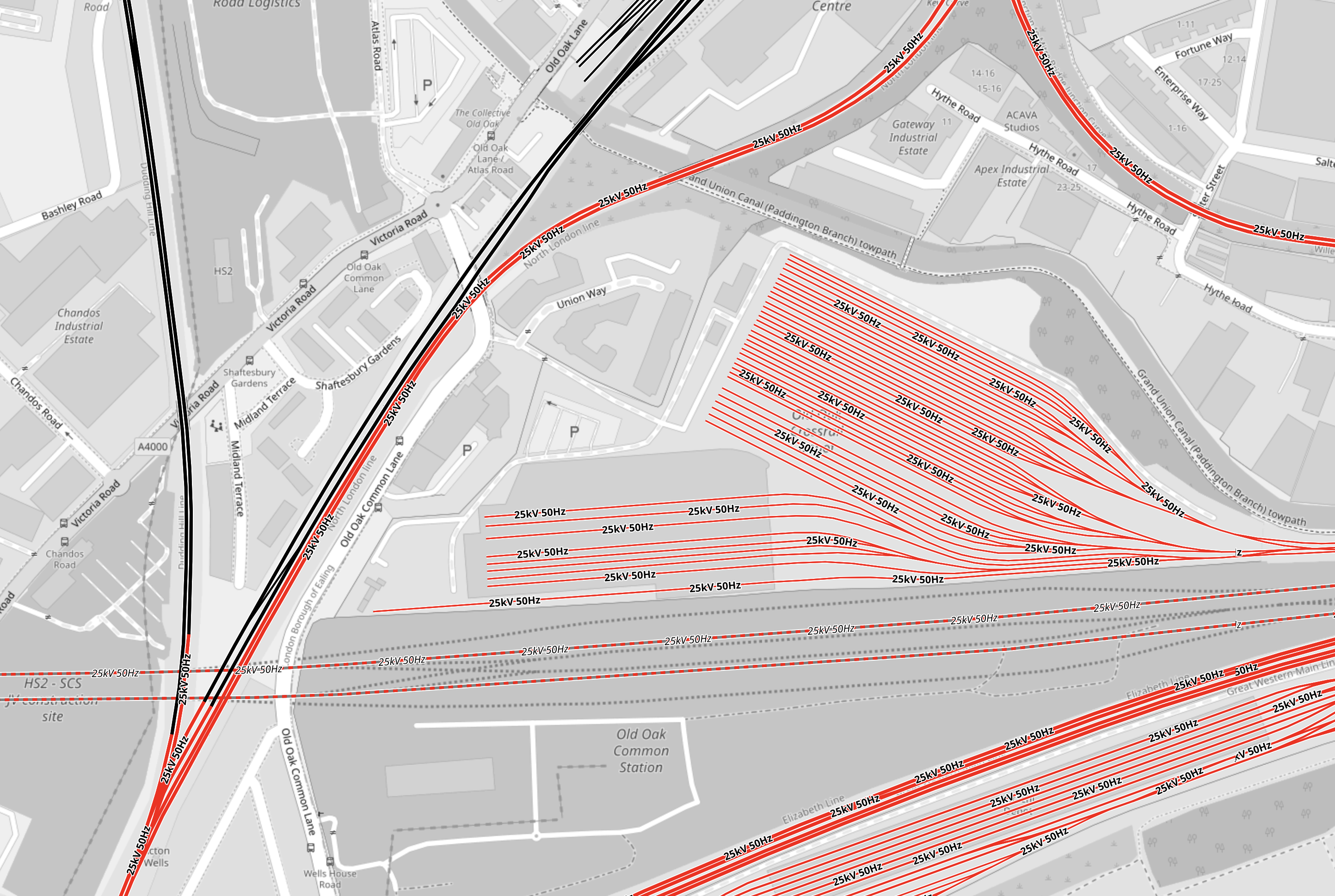
This second map from OpenRailwayMap shows the junction between the Dudding Hill and North London Lines at Acton Wells junction.
Note.
- As before red tracks are electrified with 25 KVAC overhead wires and black tracks have no electrification.
- The Dudding Hill Line is the black track running North-South at the West of the map.
- Acton Wells junction, where the Dudding Hill and North London Lines join is in the South-West corner of the map.
- The North London Line is shown in red running across the North-West corner of the map.
- The Great Western Main Line is shown in red running across the South-East corner of the map.
- High Speed Two will run East-West across the map and is shown dotted in red.
- The red lines in the middle of the map is the Elizabeth Line depot.
With all the 25 KVAC overhead electrification at both ends of the Dudding Hill Line, it would appear, that if this section is ever electrified, it will be electrified with this form of electrification.
There may be a problem, in that there are three or four bridges over the line.
Electrification Issues At Kew
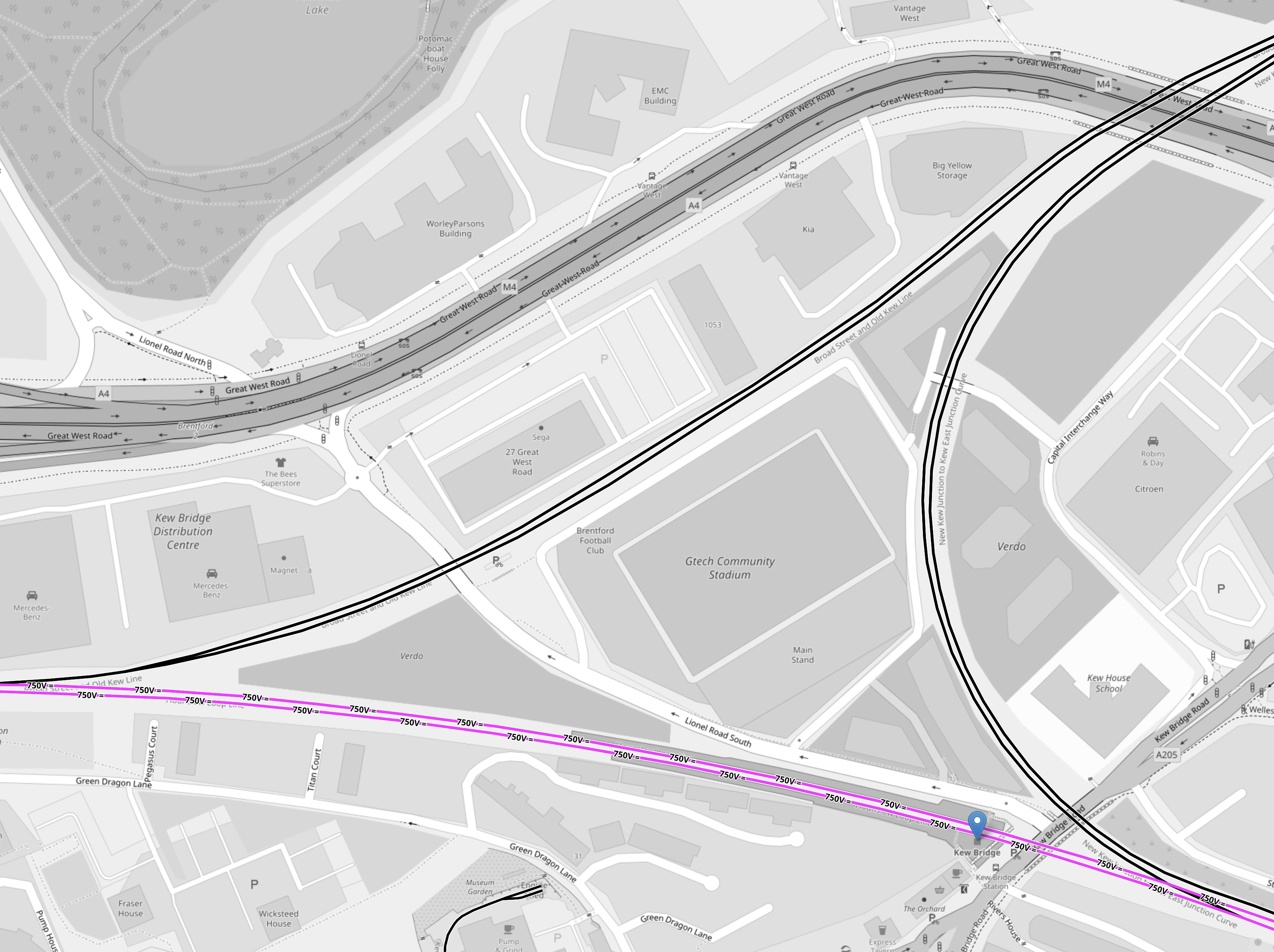
This map from OpenRailwayMap shows the triangular junction by Kew Bridge station.
Note.
- As before black tracks have no electrification.
- Mauve tracks are electrified with 750 VDC third-rail electrification.
- Kew Bridge station is indicated by the blue arrow at the Eastern point of the junction.
- Trains to Hounslow will arrive in the North-East corner of the map and go diagonally across the map to leave in the South-West point of the junction.
- Trains to Kew Bridge will arrive in the North-East corner of the map and take the Eastern chord of the junction to a new platform in Kew Bridge station.
Brentford’s new stadium and a lot of housing are in the middle of the junction.
It would seem to be obvious to electrify the triangular junction using 750 VDC third-rail electrification.
But not to the ORR it isn’t, as they won’t allow any new third-rail electrification to be installed on Health and Safety grounds.
Charging Trains At Kew Bridge Station
Consider.
- It looks like trains from Hendon will terminate in a new platform on the chord without electrification to the North of the current Kew Bridge station.
- A short length of 25 KVAC overhead electrification could be used to charge trains.
It may be sensible to build two platforms on the chord, as this could allow more flexible operation of the London Overground during engineering works.
Charging Trains At Hounslow Station
A short length of 25 KVAC overhead electrification could be used to charge trains.
Project Management Issues
I believe this could be one of those projects, where by careful selection of the order of the sub-projects, time and money can be saved and passengers will see benefits earlier.
For example.
- Early delivery of Old Oak Common Lane station would also connect the North London Line to High Speed Two and the Elizabeth Line.
- Early delivery of step-free access at Kew Bridge station would help passengers going to the new Brentford stadium.
There may be other projects, that need an early delivery.
The Feltham And Wokingham Resignalling Programme
The Feltham And Wokingham Resignalling Programme is currently underway and there are pairs of new and old signals everywhere between Kew Bridge and Feltham and also between Feltham and Richmond.
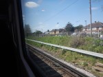
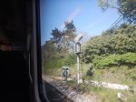
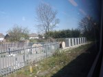
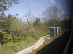
These are digital signals and according to Network Rail, they will increase the capacity, which must surely allow the extra trains between Kew Bridge and Hounslow stations.
This signalling project finishes in mid-2024, so I suspect by then the Southern part of the West London Orbital Railway will not have any problems with interaction with other services.
The Feltham And Wokingham Resignalling Programme could be considered an important enabling sub-project of the West London Orbital Railway, that is being performed early.
Richmond Station
As I came through Richmond station, there was an Overground train in Platform 3 and I noticed that Platforms 3 to 5 were allocated to the Overground.
Has the new signalling given Network Rail and train operators more flexibility and extra capacity at Richmond?
Currently, the London Overground runs four trains per hour (tph) between Stratford and Richmond.
The increased flexibility may allow the following.
- An increase in frequency of trains to Stratford.
- An increase in frequency of District Line trains, if Ealing Broadway station swaps from being a District to a Piccadilly Line terminus, as I wrote about in Extending The Elizabeth Line – Piccadilly Line To Ealing Broadway.
- Could Richmond also act as a terminal of the West London Orbital Railway during construction and engineering works?
Another benefit that could be arranged is to run the current four tph London Overground services into Platform 3.
These pictures show a Waterloo-bound South Western Railway train in Platform 2 and a Stratford-bound London Overground train in Platform 3.
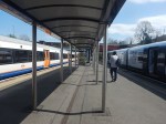
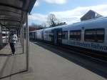
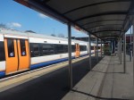
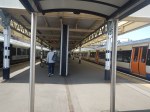
As there are 8 tph between Richmond and Waterloo via Clapham Junction, this could be quite a useful cross-platform interchange for passengers going from say Staines or Windsor to Hampstead.
Trains
Consider.
- The three most likely Northern termini are Brent Cross West, Hendon and West Hampstead Thameslink.
- There could be other terminals on the North London Line or the Gospel Oak and Barking Line.
- All possible Northern terminals have 25 KVAC overhead electrification.
- The two most likely Southern terminals are Hounslow and Kew Bridge.
- There may be other possible Southern terminals like Twickenham or Richmond.
- All possible Southern terminals have 750 VDC third-rail electrification.
- The sections without electrification of the route are less than twelve miles.
- The ORR won’t allow any new third-rail electrification.
It looks like the trains will need to be dual-voltage with a battery capability.
In this article in Global Rail News from 2011, which is entitled Bombardier’s AVENTRA – A new era in train performance, gives some details of the Aventra’s electrical systems. This is said.
AVENTRA can run on both 25kV AC and 750V DC power – the high-efficiency transformers being another area where a heavier component was chosen because, in the long term, it’s cheaper to run. Pairs of cars will run off a common power bus with a converter on one car powering both. The other car can be fitted with power storage devices such as super-capacitors or Lithium-ion batteries if required. The intention is that every car will be powered although trailer cars will be available.
Unlike today’s commuter trains, AVENTRA will also shut down fully at night. It will be ‘woken up’ by remote control before the driver arrives for the first shift
This was published over twelve years ago, so I suspect Bombardier or Alstom have refined the concept.
In an article in the October 2017 Edition of Modern Railways, which is entitled Celling England By The Pound, Ian Walmsley says this in relation to trains running on the Uckfield Branch, which is not very challenging.
A modern EMU needs between 3 and 5 kWh per vehicle mile for this sort of service.
So for a four-car running for twelve miles, the train would need a battery capacity of between 144 and 240 kWh.
These are not large batteries.
I suspect that the best trains for the route, will be dual-voltage Class 710 trains.
- The Class 710/2 variant used on the Gospel Oak and Barking Line is dual-voltage.
- London Overground has 54 Class 710 trains.
- I am certain, that the batteries needed can be fitted to the trains.
- Aventras are still in production in Derby.
A test battery-electric version could probably be created and tested on the short Romford and Upminster Line.
There may be other places in London and the rest of the UK, where a four-car battery-electric Aventra would be the ideal train.
SSE To Help Decarbonise 5000 Homes In Major London Retrofit Project
The title of this post, is the same as that of this news item on SSE.
These three paragraphs outline the work.
SSE Energy Solutions has agreed a deal with Berkeley Homes that will help to decarbonise a heat network for up to 5,000 homes in London, thought to be one of the largest retrofits of its kind in the country.
An Air Source Heat Pump (ASHP) system will be installed to supply the homes on an existing district heating network at the Woolwich Arsenal site after several options were considered, including the use of waste heat and ground and river source solutions. An ASHP was chosen as the best low carbon, low tariff option over the length of the supply contract.
The system will be installed in nearby Wellington Park where a new landscape will be created through a unique planting scheme that broadens the biodiversity of the area by responding to the microclimate. The ASHP will connect directly to the existing district heating network pipes, reducing the carbon content of the heat provided by the network.
It strikes me, that no new housing estates or blocks of flats, should be built without a district heating system.
In this example, SSE are able to decarbonise a large number of houses and flats, by just replacing a boiler with an air source heat pump.
Just imagine the hassle if five-thousand individual boilers had to be replaced.
9 Energy, House And Rail Projects Planned For Norfolk
The title of this post, is the same as that of this article on the Eastern Daily Press.
The article is a survey of major projects across Norfolk.
Projects in the article with my thoughts will now be detailed.
Railway Village
This is described as follows in the article.
Plans to build a new 5,000-home town north of Dereham could take a significant step forward in 2023.
The proposals have been dubbed a ‘railway village’ and would lie close to the Mid Norfolk Railway at North Elmham.
The 1,278-acre site has been put forward by its owners as a potential area for development included in Breckland Council’s forthcoming local plan – a document detailing how the district should grow over the next two decades.
This map from OpenRailwayMap shows North Elmham and the Mid-Norfolk Railway.
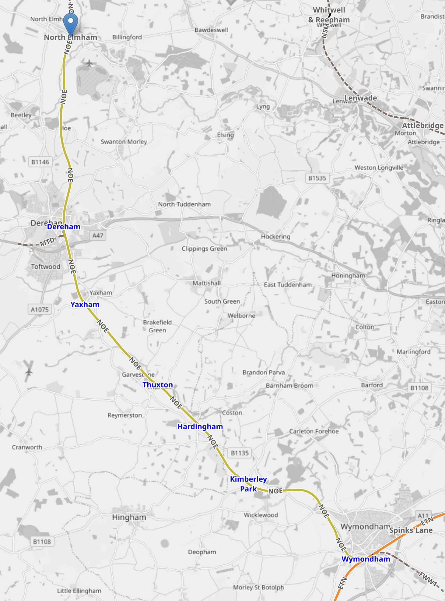
Note.
- The yellow line is the Mid-Norfolk Railway.
- The site of the former North Elmham station is shown by the blue arrow at the top of the map.
- The orange line across the South-East corner of the map is the Breckland Line between Cambridge and Norwich.
- Wymondham station is on the Breckland Line, but trains between the Mid-Norfolk Railway and Norwich would be able to call at Wymondham station.
Wymondham station could be converted into a proper connection between the Breckland Line and the Mid-Norfolk Railway, with services being run between Norwich and North Elmham via Dereham.
In the Wikipedia entry for the Mid-Norfolk Railway, there is a section, which is entitled Community Railway, where this is the first paragraph.
The Mid-Norfolk Railway was established as a multi-functional line, with an intention to operate a community service in addition to tourist and freight services. The railway has also stated their belief that a commuter service between Dereham and Norwich remains a viable proposition, with the MNR either running the service themselves or working with an existing train operator. One obstacle on the MNR to running such services is the requirement to operate five manual gated level crossings between Dereham and Wymondham, although level crossing automation is a possibility in the future.
Later the section indicates that the Mid-Norfolk Railway could be extended to Fakenham.
This map from OpenRailwayMap shows the original route between North Elmham and Fakenham.
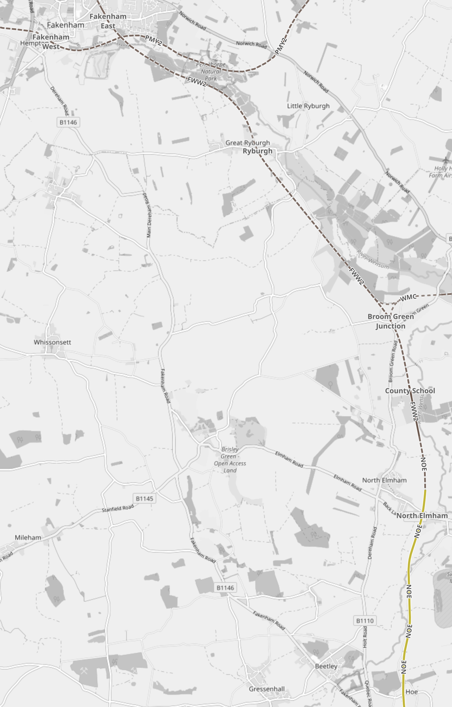
Note.
- The yellow line is the Mid-Norfolk Railway.
- North Elmham station is at the top of the yellow.
- Fakenham is at the top of the map.
Adding Fakenham to the passenger service from Norwich would surely increase its viability.
There have been ambitions in the past to create a Norfolk Orbital Railway, that would connect the National Rail stations at Sheringham and Wymondham, using the tracks of the North Norfolk Railway and Mid-Norfolk Railway, and some new and relaid track.
This map from OpenRailwayMap shows North Norfolk from Fakenham and North Elmham in the West to Sheringham in the East.

Note.
- Fakenham is on the Western edge of the map about halfway up.
- North Elmham is in the South-West corner of the map, on the yellow line, what indicates the Mid-Norfolk Railway.
- The railway shown in the North-West corner is the Wells and Walsingham Light Railway. which is a 260 mm. gauge railway.
- Sheringham station, which has an hourly service to Norwich via Cromer, is in the North-East corner of the map.
- The Eastern terminus of the North Norfolk Railway is a short walk from Sheringham station.
- The blue arrow to the West of Sheringham station, indicates the Western terminus of the North Norfolk Railway at Holt station.
The Norfolk Orbital Railway would need to connect Fakenham and Holt, which doesn’t appear to be easy.
But if the connection could be made, Greater Anglia could run a combined service around the county, which would allow those living in the houses at North Elmham to get easily to the coast or the City of Norwich.
Wash Barrage
This is described as follows in the article.
A bid to build a tidal barrage stretching from Norfolk to Lincolnshire was unveiled at the end of last year.
While the scheme has seen objections from conservation groups, proponents say it would help protect the Fens from flooding, generate tidal power and would allow a new deep-sea container port to be built.
A planning application has yet to be submitted for the scheme, which Centre Port, the group behind the proposal, said could be operational by the end of the decade if given the go-ahead.
The Wash Barrier has a web site, but I doubt the RSPB will like it.
New Reservoir
The article says that the proposed site is between Chatteris and March in Cambridgeshire.
Long Stratton Bypass
This is described as follows in the article.
The Long Stratton Bypass has been mooted for decades and finally looked like it was going to get underway after funding was approved in 2021.
The scheme will mean motorists can avoid passing through the centre of the town.
It was needed, when C regularly commuted to Norwich in the 1980s.
Norwich Western Link
This is described as follows in the article.
The flagship infrastructure project has been thrown into doubt after County Hall announced an indefinite delay earlier this month.
The 3.9-mile road is designed to link the A47 with the NDR to the west of the city and has been hailed as a council priority for several years.
Climate protestors are mounting a High Court challenge.
Windfarms
These are described as follows in the article.
There are a series of major windfarms planned for the Norfolk coast.
These include Swedish energy giant Vattenfall’s Boreas and Vanguard projects, which could be some of the largest in the world.
The company was granted development consent for its Norfolk Vanguard windfarm in 2022, pledging to get underway early this year.
The two schemes could power more than 3.9m homes in the UK.
Hornsea Three, another major scheme which could power another 3.2m homes, is set to start being built in March.
Note.
- The author missed out the Sheringham Shoal and Dudgeon Extension windfarms.
- Total wind power that will be developed is around 6 GW, which would supply around a quarter of the UK.
The only problem is that Norfolk is protesting against the cables to connect the wind farms to the National Grid.
I suspect they will have to be put under the sea. I wrote about this in Is There A Need For A Norfolk-Suffolk Interconnector?
New Rail Junctions
The problems around Ely station are described as follows in the article.
A key rail junction, which could help to boost growth across the region, could steam ahead this year.
Ely Junction is important because it links five lines connecting Norwich, Ipswich, Cambridge, Peterborough and King’s Lynn.
It is currently operating at full capacity, which limits the opportunity for growth of routes for passenger and cross-country freight services.
It would also enable more frequent passenger services, including between King’s Lynn and London.
An outline business case was submitted to the Department for Transport last year to seek money for the next stage of the design process – but the government has yet to make a decision.
There are also problems at Haughley Junction.
Hospitals Rebuild
The article also puts the case for developing both King’s Lynn and Great Yarmouth hospitals.
Conclusion
Norfolk is going to be busy.
Hackney Central Before Levelling Up
This press release from Hackney Council is entitled £19m Funding Boost For Town Centre At Hackney’s ‘Beating Heart’.
This summary is in the first two paragraphs.
A greener, safer and more welcoming Hackney Central is one step closer after Hackney Council’s successful application for £19m in Levelling Up funding.
The award will see five acres of public space transformed, bringing new green space, trees and seating along Amhurst Road, investment in Hackney Central Library, a much-needed redesign of Pembury Circus junction, new creative workspace and a rejuvenated Hackney Town Hall Square.
This is the summary from the Government’s levelling-up document.
£19 million for renovating public spaces in Hackney Central, such as the iconic Town Hall Square, as well as new creative workspace and upgrades to the Hackney Central Library.
So. this afternoon I went for a walk around Hackney Central and took these pictures.

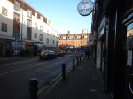
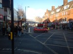
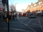
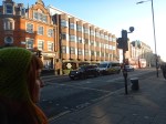



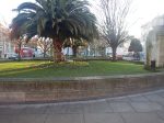



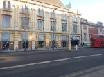

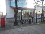



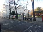
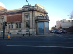
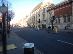
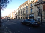
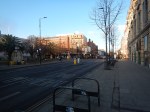



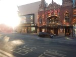
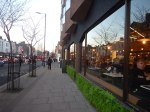
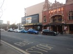
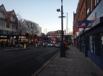
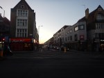
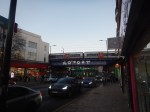
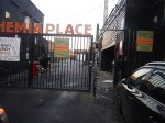
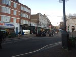

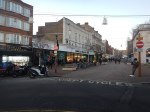
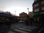
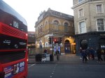

Note.
- The roundel is missing outside the Graham Road entrance to Hackney Central station.
- Hackney Town Hall is a Grade II Listed Building, dating from the 1930s.
- I wrote abut the Hackney Picturehouse in The Film That Changed My Life!.
- The Hackney Empire is a Grade II* Listed Building.
- The Pizza Express is new, swanky and spacious, and not what I’d expected. I had a late lunch there.
- The bridge carrying the Overground over Mare Street needs improvement.
- I wrote about the Hackney Marks and Spencer in Levelling Up – The Marks & Spencer Way.
- St. Augustine’s Tower is the oldest building in Hackney.
- The main building of Hackney Central station is now a bar and music venue.
In words that could be attributed to legendary estate agent; Roy Brooks, it is an area with potential.
These are some thoughts.
The Town Hall Square
What puzzles me about the garden in front of the Town Hall, is the two trees, which I would associate with warmer climes.
Even today, when it was rather cold, there were still flowers in front of the Town Hall.
The Overground
I argue that the coming of the London Overground raised the standard of Dalston, Hackney, Whitechapel and other parts of East and South London to that of their more desired and affluent neighbours.
We can’t really attribute the the creation of the London Overground to any one politician, as it has been an aspiration of several politicians and rail professionals since the 1990s. This History section in the Wikipedia entry for the Overground lists all the false starts and hopes.
But one man; Peter Hendy has been there most of the time and has worked with all three of London’s Mayors and several Transport Ministers.
I do wonder how much the Overground benefited from a sane, quiet hand from someone like Lord Hendy.
The Overground has certainly done its best for Hackney and we need more of its common sense approach to levelling-up all over the country.
Marks And Spencer
When I moved back to London, Hackney had a terrible Marks and Spencer.
As one of their biggest London stores, is just three stops away on the Overground, it might have been financially prudent to close the store at Hackney Central.
But Marks did the opposite and converted it into an upmarket food store, which is much more Knightsbridge than East End.
It’s certainly convenient for me, as I can get a bus there and a bus back, with only a hundred metre level walk at both ends.
The Graham Road Entrance To Hackney Central Station
This makes it easier to travel around Hackney and to get to the Town Hall, Theatre, Cinema and Library area.
How many extra entrances to railway stations will improve journeys and attract more passengers?
The Continuous Development Of The Hackney Central And Hackney Downs Complex
Since I moved to Hackney three projects have been completed on the station complex.
- A walkway has been built between the two stations to ease interchange.
- Lifts have been added to the footbridge at Hackney Central.
- The Graham Road entrance has been opened.
Two other projects have been proposed, but nothing has been actioned.
- A replacement entrance to Hackney Central station on the North side of the station.
- Step-free access to Hackney Downs station.
Will either of these projects be covered by the levelling up funding?
Pizza Express
This opened in December and I hadn’t seen it before, but you won’t notice it, unless you walk or ride on a bus up Mare Street, which I rarely do these days, since Hackney Wick station has been rebuilt.
So I was surprised to see it and like the Marks and Spencer it is more upmarket than other pizzadromes in East London.
- There is a lot of space.
- It has a proper wheel-chair entrance, that no-one could fault.
- Seating is upmarket, with several tables having a good view of the street outside. Ideal for someone eating alone, as I do regularly.
The restaurant still has a few rough edges, but it has the potential to be a pizzadrome to visit.
I do wonder, if the upmarket Marks and Spencer and Pizza Express are in a way an endorsement of Hackney’s plans for the future, by two market leaders of the High Street.
Buses
There are a lot of bus routes going through the area, which is a good thing.
But the information could also be improved.
Clapton Bus Garage
This map shows the location of Clapton bus garage.
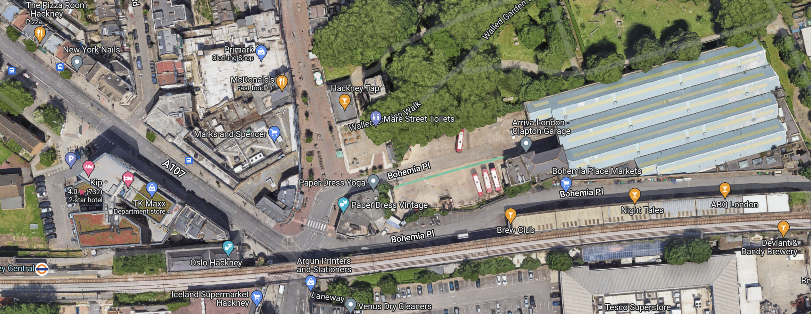
Clapton bus garage is the large building in the North-East corner of the map, red buses with white roofs outside.
This document on the Hackney Council web site is entitled Draft Hackney Central And Surrounds Masterplan, where this is said.
Relocate Clapton Bus Garage to an alternative site, to develop the site for mixed use, commercial/
residential development, and create a new route from St John-at-Hackney Churchyard Gardens to
Bohemia Place and beyond.
This sounds like a good idea, as part of the congestion in the area is caused by buses having to fight their way into the garage, when the roads are busy.
If they built, the right flats there I might be interested, as the site has good transport connections and an excellent Marks and Spencer.
Ashurst Road And Pembury Circus
This paragraph is in Hackney’s press release.
The award will see five acres of public space transformed, bringing new green space, trees and seating along Amhurst Road, investment in Hackney Central Library, a much-needed redesign of Pembury Circus junction, new creative workspace and a rejuvenated Hackney Town Hall Square.
Cut out what I have already covered and you get.
The award will see public space transformed, bringing new green space, trees and seating along Amhurst Road and a much-needed redesign of Pembury Circus junction.
This map shows Amhurst Road and Pembury Circus.

Note.
- Amhurst Road runs NW-SE across map.
- Hackney Central station is at the bottom of the map on the North London Line, which runs East-West.
- Hackney Downs station is the other station in the middle of the map.
- Pembury Circus is to the East of where Amhurst Road runs under the railway, at the top of the map.
- Dalston Lane runs between Pembury Circus Hackney Downs station.
I know the area around Hackney Downs station well.
- I regularly take a train to Hackney Downs station and get a 30 or 56 bus to my home from a bus stop on Dalston Lane.
- It can be a very unfriendly and cold place to catch a bus late at night.
But saying that, I’ve never had any trouble.
Improvements in that area, would certainly make my journey easier.
I would like to see the bus stops at Hackney Downs station moved to under the railway bridge to both improve shelter and cut the walking distance.
Conclusion
This could be £19 million very well spent and all residents of Hackney, myself included, could benefit.
Using The Elizabeth Line Between London City And Heathrow Airports
Today, I went from London City Airport to Heathrow using the Docklands Light Railway, the underground section of the Elizabeth Line and Heathrow Express.
London City Airport And Poplar Stations
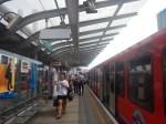
I took these pictures on this section of the route using the Docklands Light Railway.










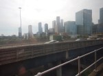
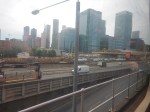
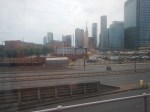
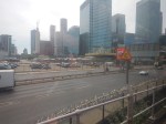
Note.
- I started my journey at 13:15.
- I arrived at Poplar at 13:27.
- The journey took twelve minutes, which agrees with the timetable.
This is a route, that gives a view of London’s rebuilding in the East.
Poplar And Canary Wharf Stations
I walked this section.
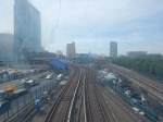
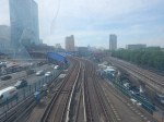

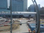
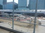
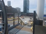
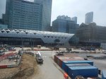
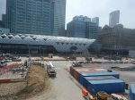
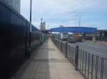
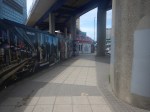
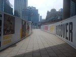
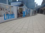
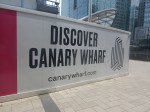

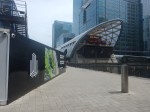
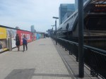
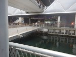

Note.
- I started my walk from Poplar station at 13:27.
- I was on the platform at Canary Wharf station at 13:39.
- I used a lift at Poplar station and the escalators at Canary Wharf station.
- The walk took twelve minutes, but it was a roundabout route.
- It looks like a level walkway is to be built between the two stations.
This Google Map shows the are between the two stations.
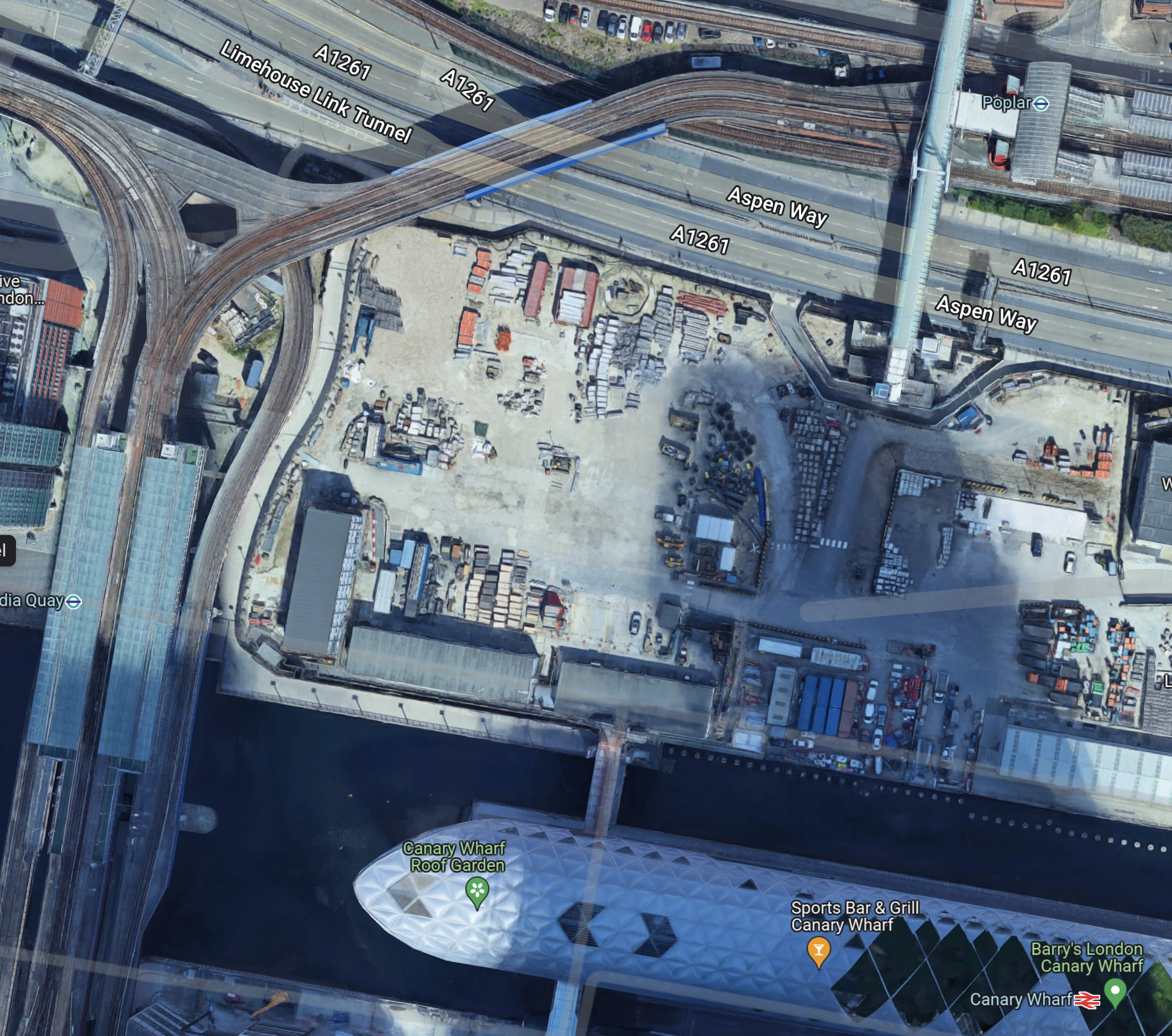
Note.
- Poplar station in the North-East of the map.
- The bridge at Poplar station, that provides the route I took over Aspen Way.
- After crossing the bridge and using the lift, I walked along the South side of Aspen Way.
- I then walked South down the path at the East side of the site, where it appears from the hoardings, flats will be built.
- Finally, I turned left to walk along the dock and then right to cross into Canary Wharf station.
Work appears to have started at Canary Wharf on the Southern end of an extended walkway, that will link to the bridge over Aspen Way.
This direct route could be nearly two hundred metres shorter and would shorten the connection by several minutes.
Canary Wharf And Paddington Stations
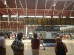
This section of the journey took nineteen minutes and I arrived at Paddington at 13:58, as this picture shows.
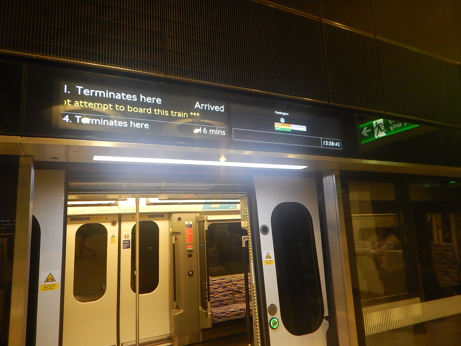
It had taken forty-three minutes between London City Airport and Paddington stations.
Paddington And Heathrow Airport By Heathrow Express
I took the 14:10 Heathrow Express to the Airport and took these pictures.
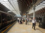

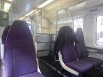
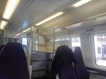
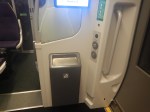
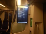
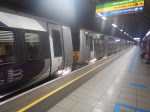
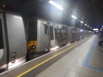
Note.
- It took about six minutes to walk between the Elizabeth Line and Heathrow Express.
- This was my first ride on Heathrow Express, since the service has started using Class 387 trains.
- The trains are fine, but where are the tables, that I like so much in the other Class 387 trains?
- The train arrived at Heathrow Central at 14:29.
This meant my journey between the two airports had taken an hour and fourteen minutes.
Canary Wharf to Heathrow using Heathrow Express and the Elizabeth Line had taken thirty-four minutes.
Return To Paddington On The Elizabeth Line
I came back from Heathrow on an Elizabeth Line train, which took 29 minutes.
That would mean that today using the Elizabeth Line to Heathrow.
- Heathrow and Canary Wharf will take 48 minutes.
- Heathrow and London City Airport will take one hour and twenty-nine minutes.
The difference in time between the two trains is solely down to the times of the Heathrow Express and the Elizabeth Line trains between Paddington and Heathrow.
What Difference Will A Direct Elizabeth Line Connection Make?
Canary Wharf are giving a figure of thirty-nine minutes between Canary Wharf and Heathrow, when the Elizabeth Line fully opens.
This would appear to indicate that fully opening the Elizabeth Line connection at Paddington will save nine minutes and the Elizabeth Line will only be a few minutes slower than Heathrow Express, if you can cut out the change at Paddington.
This table compares times between Canary Wharf and Heathrow.
- Elizabeth Line with a change at Paddington – 48 minutes
- Elizabeth Line and Heathrow Express with a change at Paddington – 34 minutes
- Elizabeth Line direct – 39 minutes
How many passengers will swap from Heathrow Express to a complete Elizabeth Line?
Is There Going To Be A Pedestrian Bridge Between Poplar And Canary Wharf Stations?
This Google Map shows the bridge that leads South from Canary Wharf station.
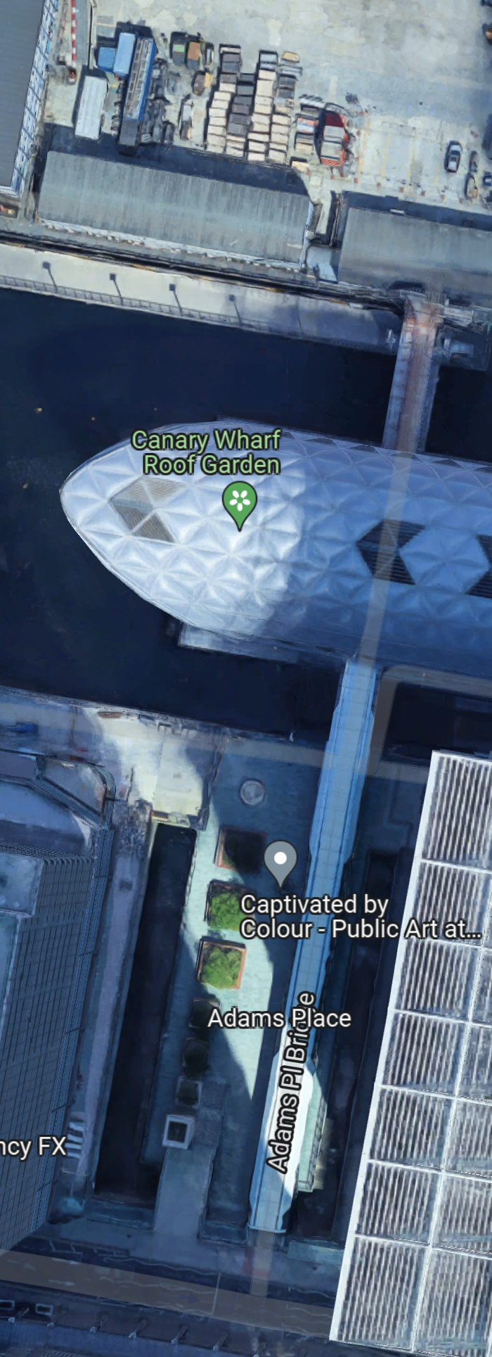
Note how the bridge could have been designed to go through the station to the housing to the North and perhaps ultimately to Poplar DLR station.
These pictures show the complete bridge on the South side and what could be the start of construction on the North side.
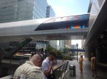
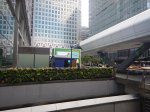

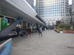
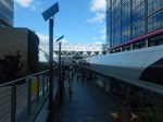
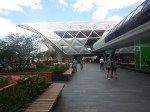
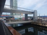
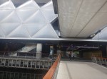
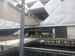
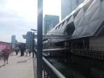
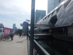
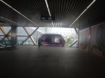
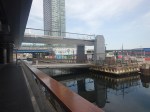
Note.
- This pictures were taken on two dates.
- A full bridge would connect the new housing to the shopping centre and the Jubilee Line station.
- Between Poplar and Canary Wharf stations would be around 120 metres.
- There would be a straight and level walking route between Poplar DLR station and the two Canary Wharf Jubilee and Elizabeth Line stations.
- A short branch would lead to Canary Wharf DLR station.
- Stairs would lead to the buses that run through Canary Wharf.
It does appear that the North and South bridges will form a continuous straight route.
The bridge would create a comprehensive transport interchange for East London.
A Cruise To Barking – 13th May 2022
I noticed earlier in the week, that the Thames Clippers now go all the way to Barking Riverside. So I went today.


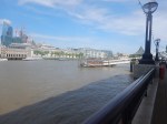
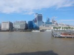

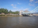


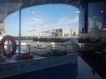
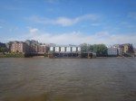
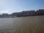
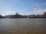






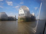




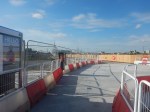
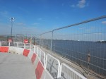
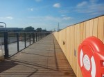
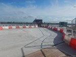
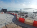

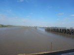

Note.
- I boarded the boat at the London Bridge City Pier.
- The easiest way to get to this pier is to get a 21, 43 or 141 bus from Moorgate or Bank station. to London Bridge and walk along the South Bank of the river for perhaps a hundred metres. Walking from London Bridge station is a bit tricky.
- I alighted at Barking Riverside Pier, which will be a short walk to the new Barking Riverside station.
The route is a mixture of historic and modern London and places passed include.
- HMS Belfast
- The Tower of London
- Tower Bridge
- Canary Wharf
- Cutty Sark
- The Royal Naval College, Greenwich
- The O2
- The Thames Barrier
- Wooolwich Arsenal
Many have piers for the Thames Clipper.
The Royal Iris
These pictures show what is left of the former Mersey Ferry, the MV Royal Iris, which is rusting in the River at Woolwich.
I remember the ferry, when it was resplendent in green and yellow in the 1960s. I also remember going on one evening party cruise up and down the Mersey.
It’s rather a sad end for ship that has many happy memories for many.
According to Wikipedia, there is a campaign to return the iconic ferry to Liverpool.
London’s CrossFerry
The Thames Clippers keep on going and now at many times, you can go all the way between Barking Riverside and Putney.
It’s not that slow either and in the open waters East of Tower Bridge, my phone was saying that the ferry was cruising at 40 mph.
If it has one problem, it is that the Thames Clippers don’t have an all-day timetable, that is simple.
If it is going to be a pseudo-train line across London, then there needs to be a two boat per hour service across the city. This will be needed more as more housing is built at Barking Riverside.
I know Barking Riverside will be getting the Overground in the Autumn, but unlike the Thames Clippers, that serve Canary Wharf, the City and Westminster, the Overground will serve a swathe of housing, rather than employment, across North London.
The Neighbourhood Leading A Green Energy Revolution
The title of this post, is the same as that of this article on the BBC.
These are the first two paragraphs.
An ambitious target of using hydrogen to partly power homes in the UK within three years has been set by the National Grid, the BBC has learned. On the east coast of Scotland, a small neighbourhood is playing a key role in this energy revolution.
From next year, about 300 homes in Buckhaven, and Methil, in the area of Levenmouth, will be powered by green hydrogen gas in a project called H100. Customers will be offered free hydrogen-ready boilers and cookers in the scheme, which will initially last five and a half years.
I described the H100 Project in ‘World First’: SGN Launches Bid For 300 Green Hydrogen Homes Project In Fife.
This is the home page of the H100 Fife project web site.
This Google Map shows part of Buckhaven.
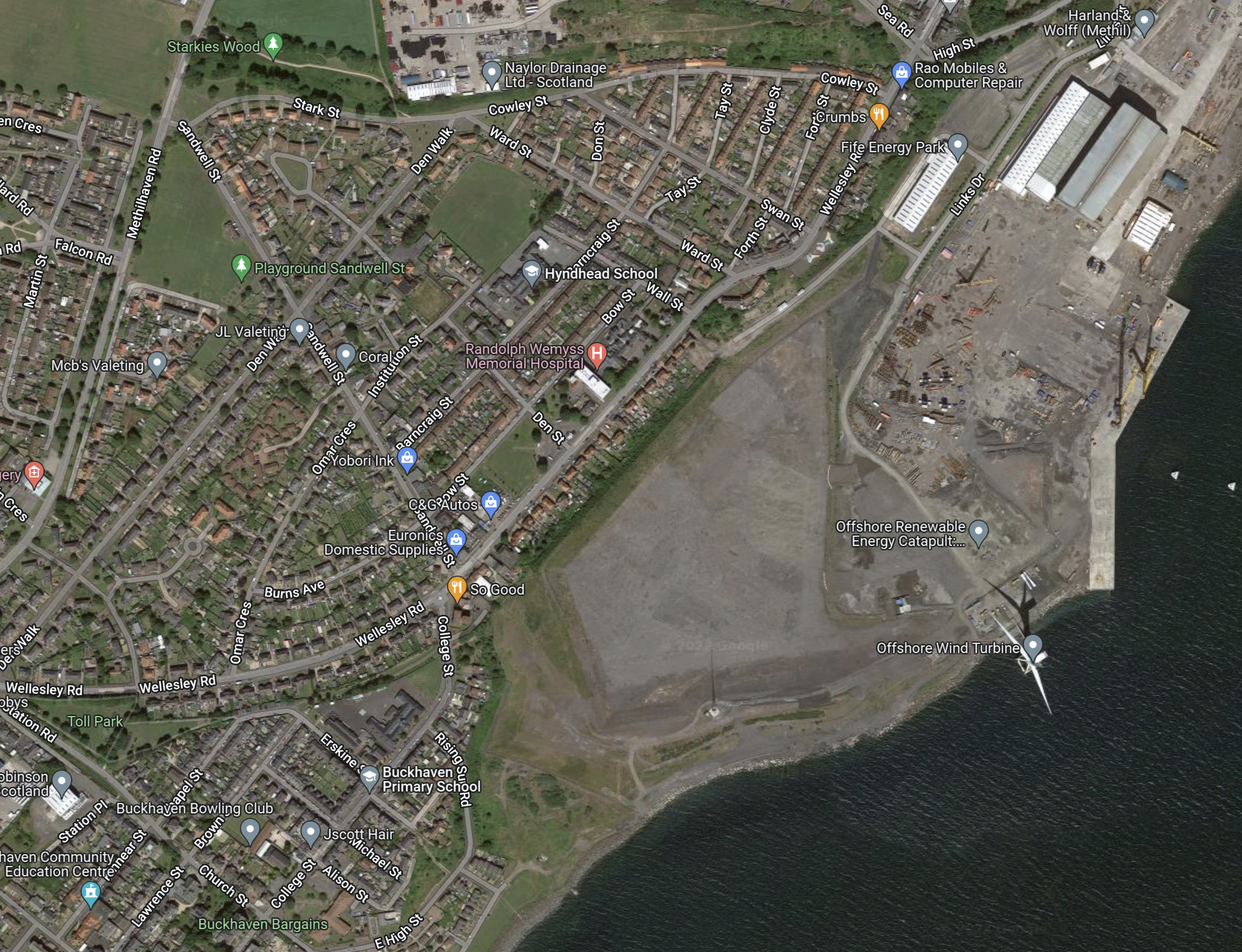
Note the wind turbine, that will produce the hydrogen is in the South-East corner of the map.
A Walk Around New Bermondsey – 8th February 2022
I took these pictures as I walked around Millwall’s Football Ground to the site of New Bermondsey and then on to South Bermondsey station to get the train to London Bridge.
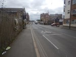
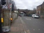
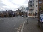
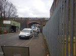
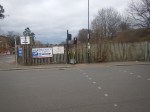
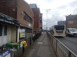
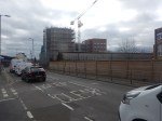
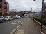
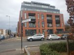

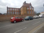
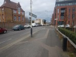
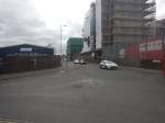

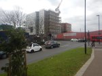

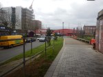
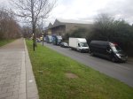

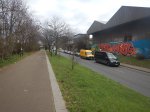
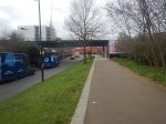
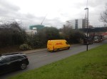

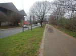
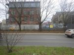


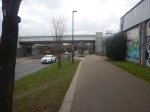
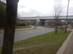
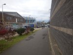
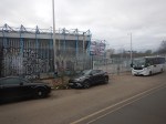
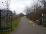
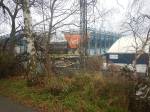
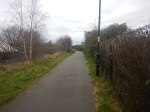
These are my thoughts.
New Bermondsey Development
In Housing Development Next To Planned Overground Station Gets Approved, I used this description of the development from this article on Ian Visits.
The development, New Bermondsey, will see a cluster of residential towers built around the Millwall football ground on former light industrial sites, and will provide some 3,500 homes, a new sports facility, auditorium with 800 seats, and it’s said some 1,250 jobs. The towers vary in height across the site from 13 – 44 storeys; most towers are around 29/30 storeys.
Ian’s article also shows a visualisation with nineteen towers and some shorter blocks.
The development has a web site, which has a video on the home page.
Car Parking
I have gone through the New Bermondsey web site and the only mentions of parking are in these two statements, which describe the basement.
- Allocation for move in and out bays for vans.
- Secure residents’ cycle parking.
Does this mean that no car parking spaces are provided?
This article on LondonReconnections is entitled Canal Knowledge: The Fall and Rise of Surrey Canal Road Station.
One of the comments says this about parking around the station.
The permission for this development includes zero car parking provision, and a restriction preventing the granting of street parking permits. Such a restriction has been common in the “skyscraper zone” of the Isle of Dogs for many years but I suspect is a fairly novel stipulation in other boroughs.
It does appear that those living in the New Bermondsey development will have to live car-free.
New Bermondsey Station
New Bermondsey station appears to be an empty concrete shell, that just needs fitting out with stairs and/or lifts, entrances/exits, ticketing and platforms alongside the line.
- The London Overground started running in December 2012 over the bridge.
- Wikipedia says it will be an accessible station.
- It probably needs to be an accessible station, if no car parking is provided in the development.
- The article on LondonReconnections confirms that lifts will be fitted from opening date.
- There are hints on the Internet, that the station will open before substantial development happens in the area.
I would hope that the station wouldn’t take too long to finish.
South Bermondsey Station
South Bermondsey Station is at the other end of the development and it is a station that needs improvement.
- I used it today and there are lots of stairs to the platforms.
- As with New Bermondsey station, it needs to be made step-free.
- It is also a cold, draughty station and needs a few shelters.
But it could be made into a much better station to serve Millwall Football Club.
Millwall Football Club
Millwall Football Club appear to have plans for the future and the New Bermondsey development will probably make access to the ground more difficult.
But it will have two stations close by, instead of one.
Traffic
There were roadworks in the area and that partly explains the crowded roads.
But will the road network be able to cope with construction traffic generated by the development?
At least the residents won’t have any cars of their own.
Conclusion
I hope this development works as it will create 3,500 much-needed homes, but will the absence of car parking in the development mean that many won’t want to move there?
Housing Development Next To Planned Overground Station Gets Approved
The title of this post, is the same as that of this article on IanVisits.
This paragraph describes the development.
The development, New Bermondsey, will see a cluster of residential towers built around the Millwall football ground on former light industrial sites, and will provide some 3,500 homes, a new sports facility, auditorium with 800 seats, and it’s said some 1,250 jobs. The towers vary in height across the site from 13 – 44 storeys; most towers are around 29/30 storeys.
The Overground station is New Bermondsey station, which was originally to be called Surrey Canal Road station.
This Google Map shows the area.
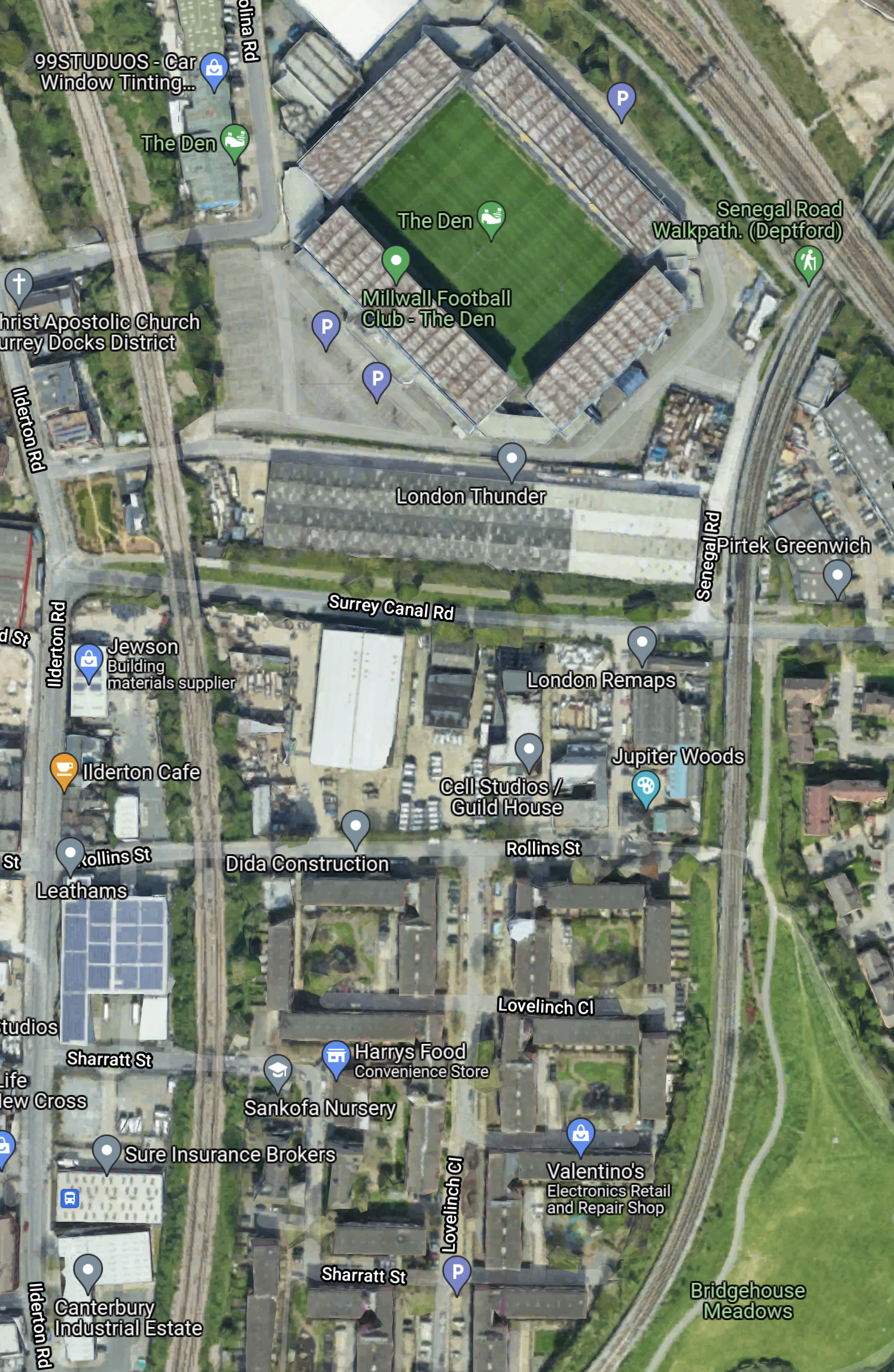
Note.
- The railway going down the East side of the map in the South London Line of the London Overground.
- The railway going round the West side of the map is the National Rail line going through South Bermondsey station to London Bridge.
- The two lines meet at Queens Road Peckham station to the South.
- Surrey Canal Road runs East-West across the map to the South of The Den.
- New Bermondsey station will be where Surrey Canal Road crosses under the London Overground.
- Most of the new housing will be clustered along this road and around the football ground.
The development will be convenient for Millwall supporters.
 The Anonymous Widower